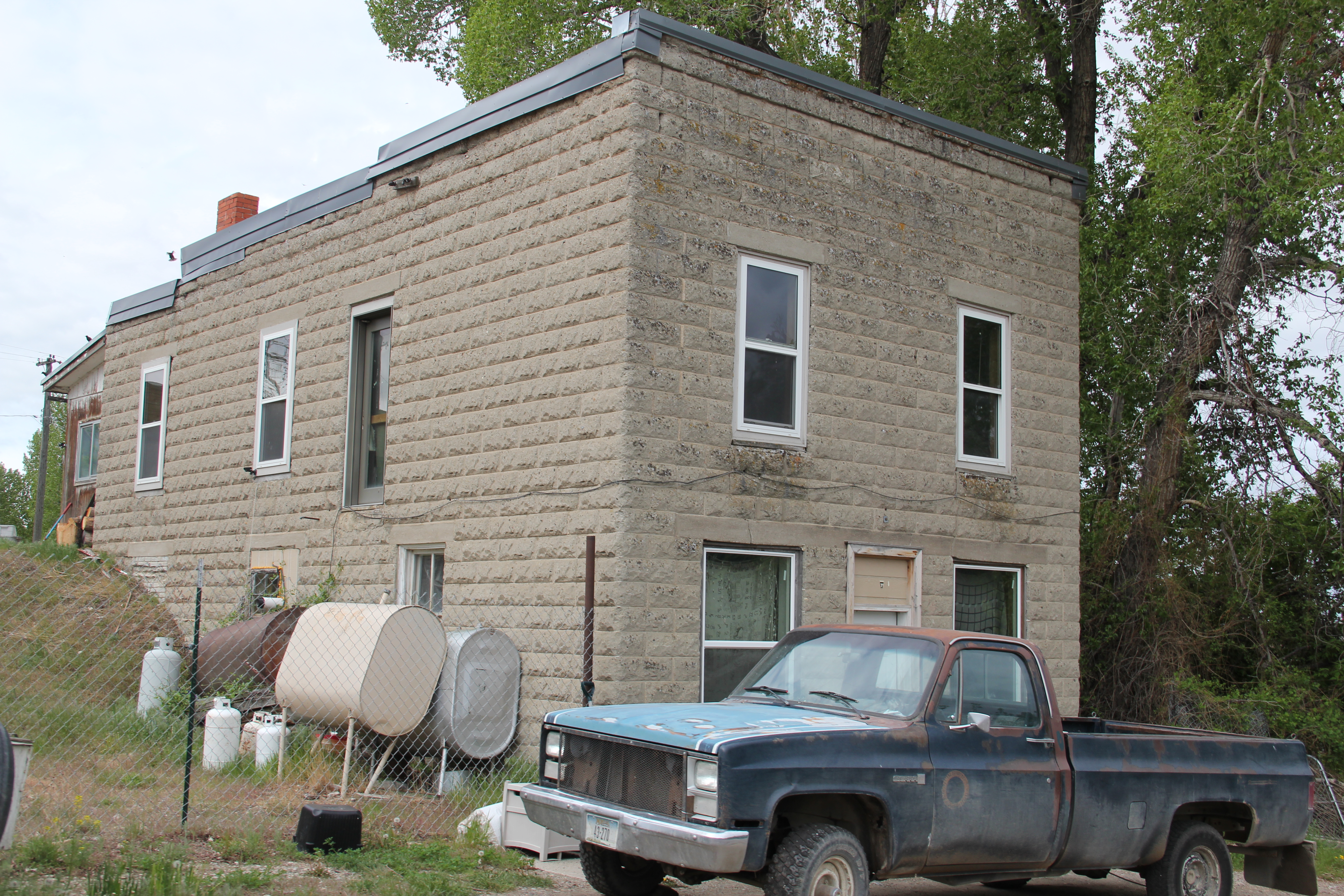
For more than a week many have been anxiously following one of the 2015 wildfires along U.S. Highway 2 that threatens the town of Essex adjacent to Glacier National Park. I must admit a very personal concern because 30 years ago there was not much to Essex, except for its historic Great Northern Railway dormitory and the switching yards, where the railroad could add engines to help trains cross the Logan Pass. At the state historic preservation office in Helena, I had just worked with Pat Bick and Marcella Sherfy on an exceptional significance statement to place the dormitory, which was not quite 50 years old then but certainly the town would have existed without the presence of the dormitory, in the National Register of Historic Places.

Izaak Walton Inn c. 1985
Back then travelers wishing to stop there just crossed the tracks, as generations of railroad workers had done, and came into the dormitory, which actually was little changed except the lobby had a desk to greet visitors, and the basement floor became a very nifty bar.

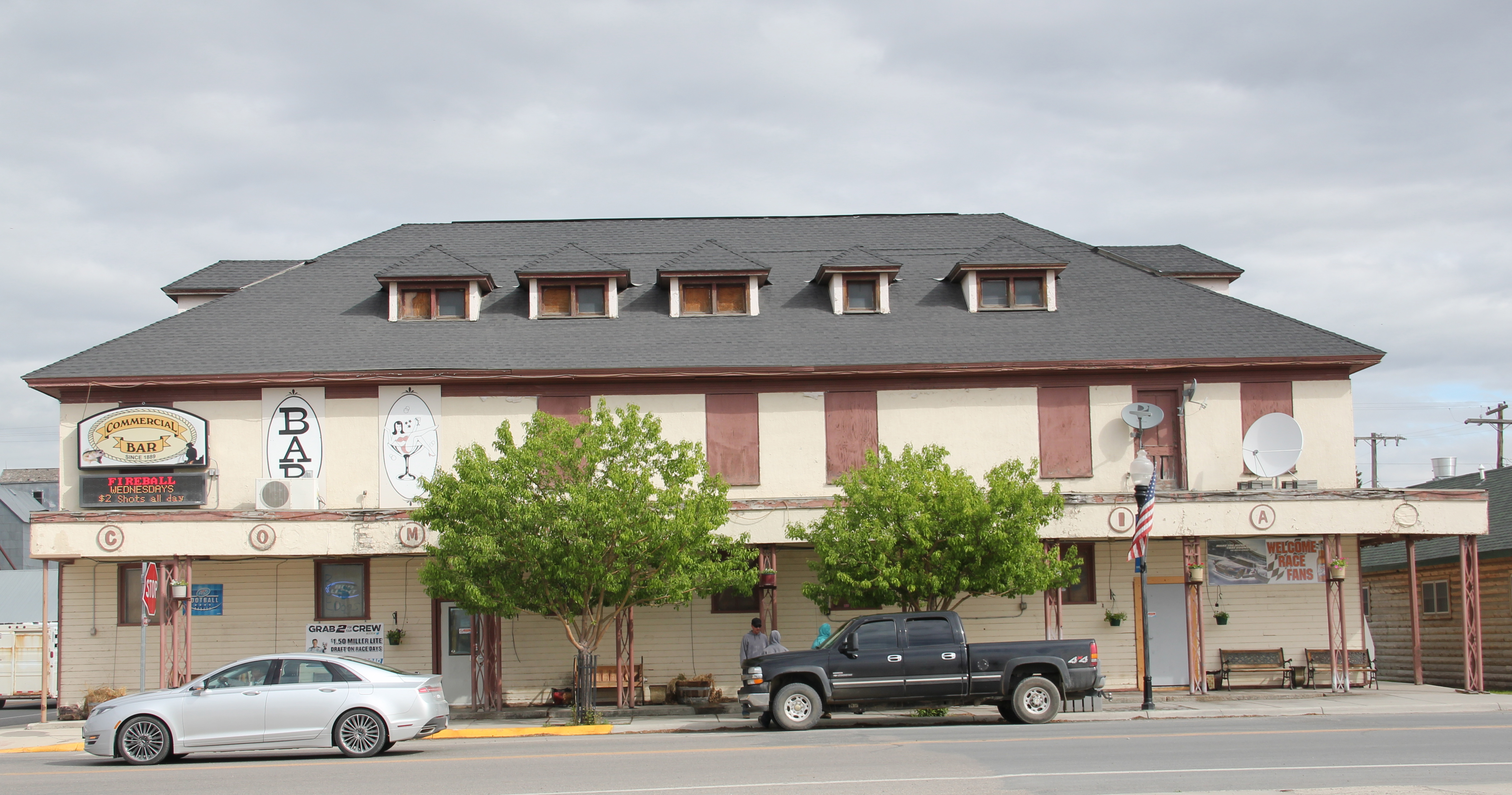
 Since the mid-1980s, Essex grew as a place as the Izaak Walton Inn grew as a business. Additional buildings were added to the north side of the tracks, even an old school building was repurposed into a mini-meeting lodge.
 At some point in the 1990s or early 2000s (I didn’t get to Essex between 1995 and 2005) a pedestrian bridge was installed over the tracks, which suddenly gave you a different perspective on the old dormitory and the railroad tracks that it had served.
 This view of the historic Great Northern main line, looking east toward Logan Pass, became one of my favorite spots in the state. Here you still had the look and feel of the early 20th century when the railroad created a new engineered landscape through the mountains, and also had modern marketing had taken hold of the railroad’s image, as the vaguely Swiss Chalet look of the dormitory fit well into the entire design aesthetic that the railroad pursued in its Glacier National Park operations.
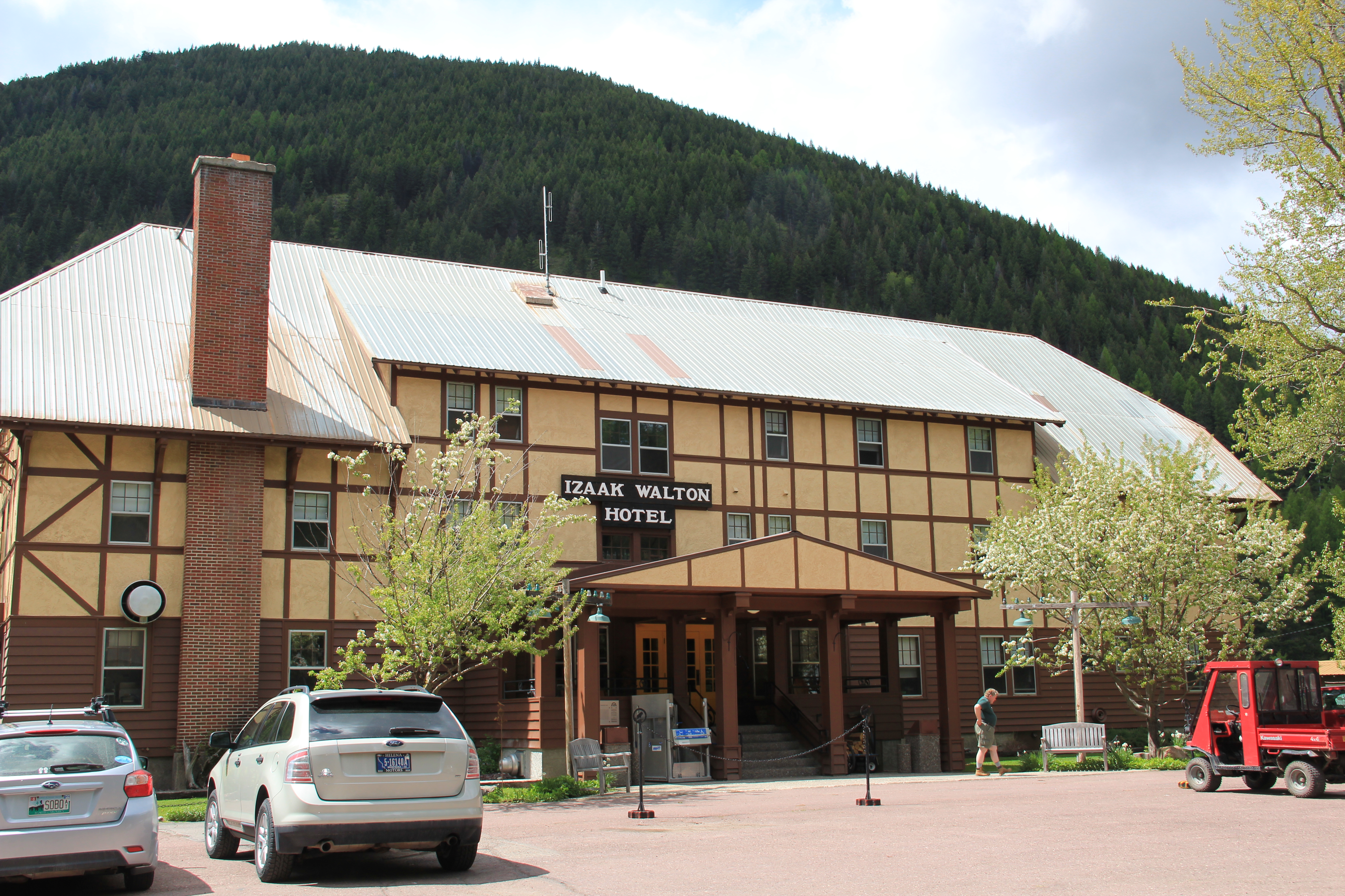 The Inn now has a busy winter season as skiers come here for lodging, often traveling by Amtrak train. The business has expanded in many different ways, with even old Great Northern engines being repurposed into overnight lodging.
 spent a night at the Izaak Walton in May 2015, and now with the serious threat of fire to the entire town I am glad I did. Thirty years ago, I enjoyed the isolated feel of the place and watching the passing of the occasional train through the night. In May the train traffic was much heavier–thanks to the region’s overall growth but also the impact of the shale oil
 explosion in North Dakota–and the place was not so isolated. Essex had significantly grown in size. That’s why the news of the past few days is so distressing. Not only could the fires take an important Montana landmark, they could also destroy a town that has grown so much in the last 30 years. Today comes news that the fires had so concerned
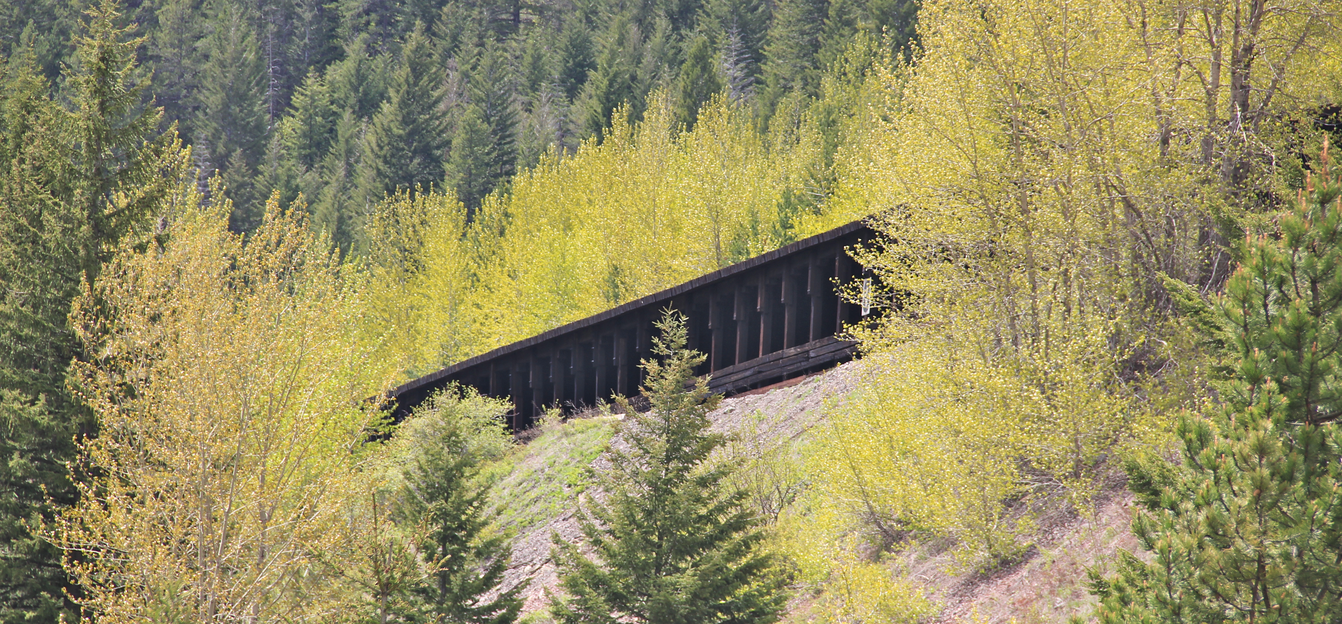
 officials of the BNSF Railroad that the company is wetting down its historic avalanche sheds not far from Essex and visible from U.S. Highway 2 at several places. If luck doesn’t come, a distinctive historic landscape could disappear.