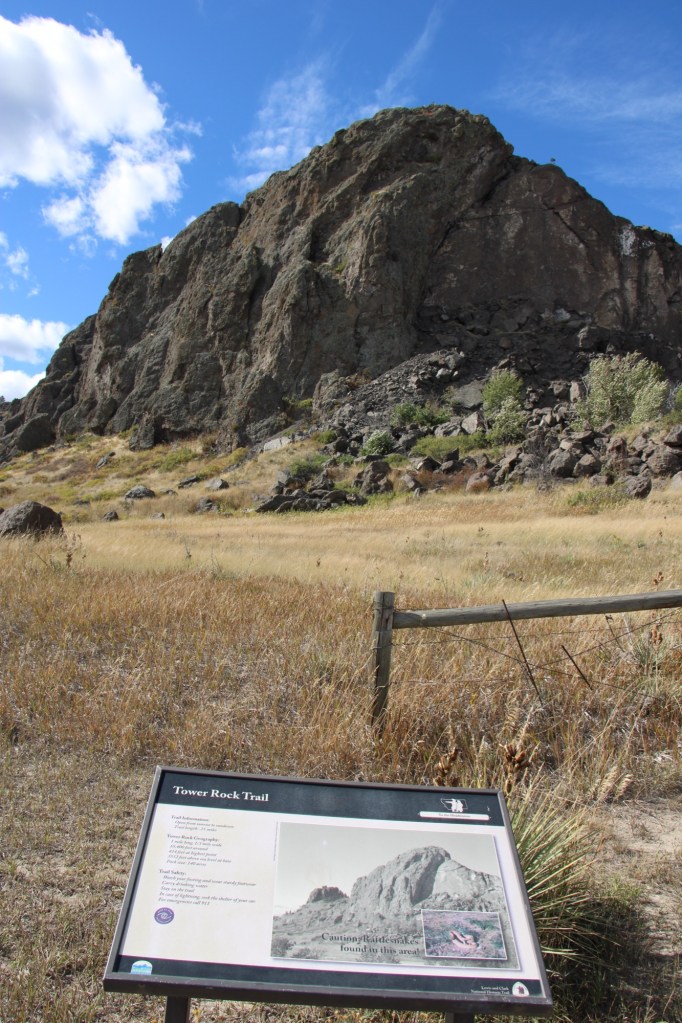
Milwaukee Road Corridor, Moore, 1984.
In my work with the State Historic Preservation Office in 1984-1985, my colleagues put up with many of my own peculiar interests and views of the Montana historic landscape, especially the focus on public buildings and the state’s railroad corridors. My interests, however, in the country towns of the Judith Basin was probably always a puzzler; staff always wished I would press on to Lewistown, where some of the best preservation work in the state was taking place in the mid-1980s (much more on Lewistown a bit later). But I must admit that the maze of small towns–never numbering more than 200 or so souls in any given place–created by the railroads as they fought for market dominance in the rich agricultural region of the Judith Basin some 100 years ago was just fascinating.

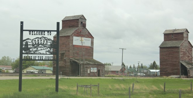
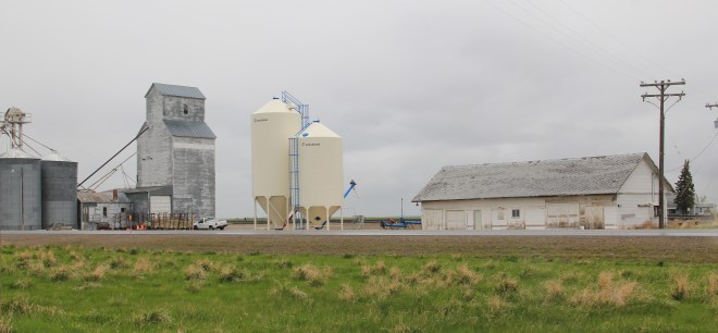
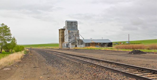
Grain elevators at Moore, 1984
And they remain so today. The geographer John Hudson had provided basic insights on the creation, distribution, and purpose of the country towns in the larger development of the northern plains–he coined the phrase “plains country towns.” The constant elements that they all shared–oriented to the tracks, the dominance of grain elevators, the prominence of depots–underscore the railroad era origins. But the towns all had their own individual places and statements, be it a woman’s club, a library, the school, and the bars and taverns. Thirty years later, much was missing from what I experienced in 1984–every place lost population between 1980-2010–but much still remained, and residents seemed determined to keep it that way.
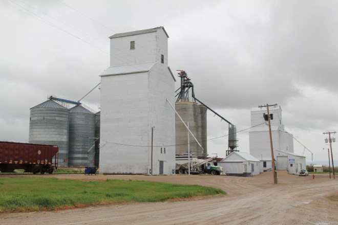
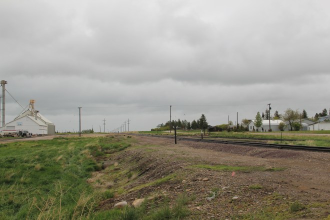
Moore still has its grain elevators but the Milwaukee depot is long gone, creating an empty space along the corridor. Moore has the look of so many Milwaukee Road towns with a T-plan design apparent today even as the town decline from its height of 575 residents in 1920 to the 193 of today.
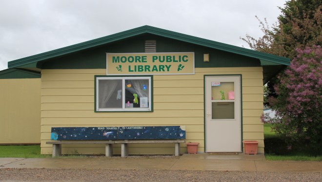
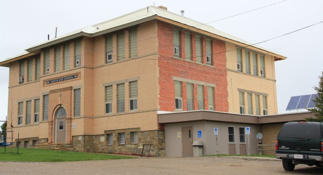
 But the town, which compared to many I visited in 1984 had declined to a lesser degree (229 residents in 1980 to 193 in 2010), still has its public institutions. The Moore Woman’s Club is celebrating its centennial in 2015 while the town’s public library is another key community center while the continued operation of the unassuming Moore public school

 is undoubtedly the major reason that the town is still here today.

The Great Northern Railway spur line that snaked north from the Yellowstone Valley at Laurel through the Judith Gap then the basin was always a corridor of great interest to me, although the towns created along the way were small, seemingly inconsequential compared to the linking of Great Falls and Billings.
 Traveling north out of the Yellowstone then Musselshell valleys, the Great Northern line entered the basin at Judith Gap, and the homesteaders who followed built a grand two-story brick school that spoke of their ambitions.
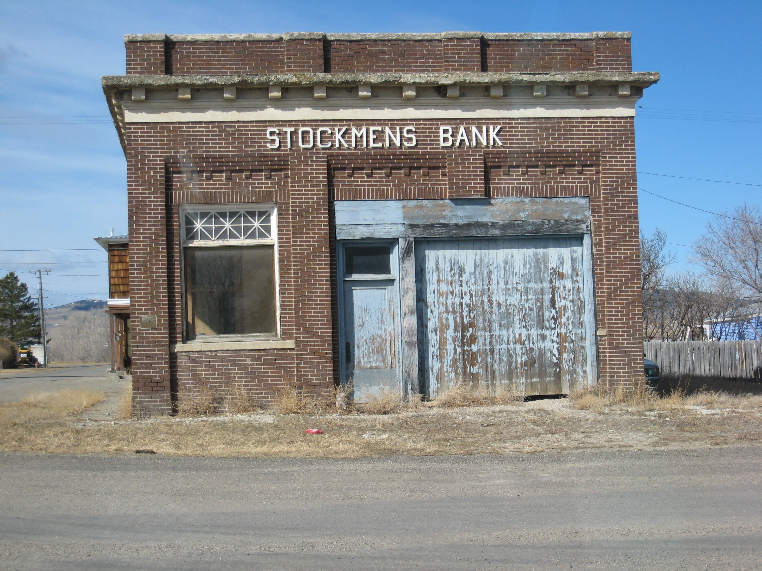
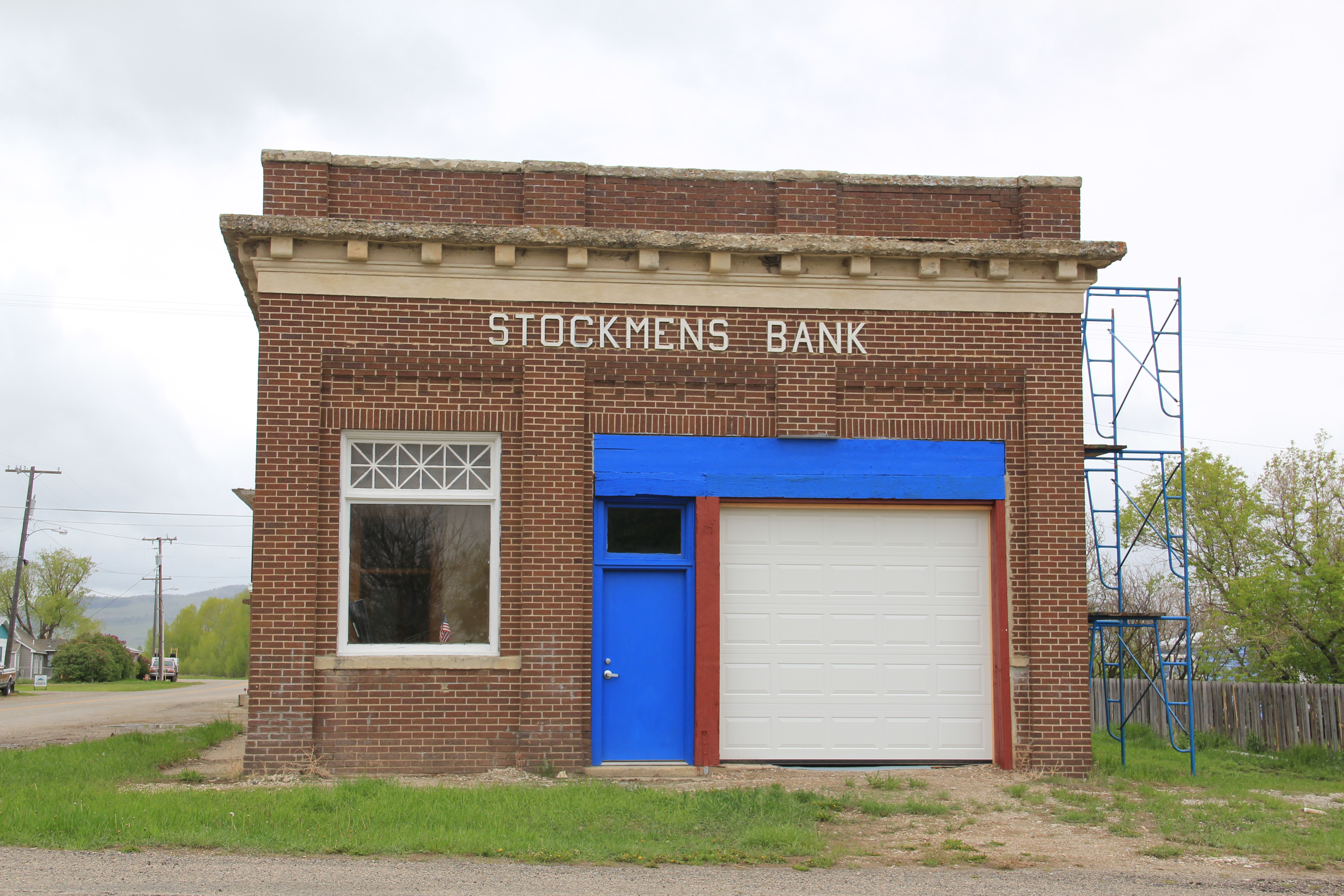
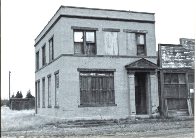
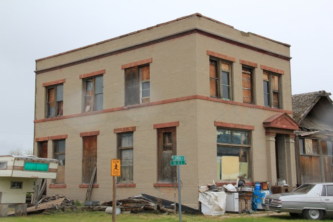
The corridor then left in its wake places forgotten today. Travelers along U.S. 191 may notice the old brick state bank building and elevators at Garneill, but they may not.
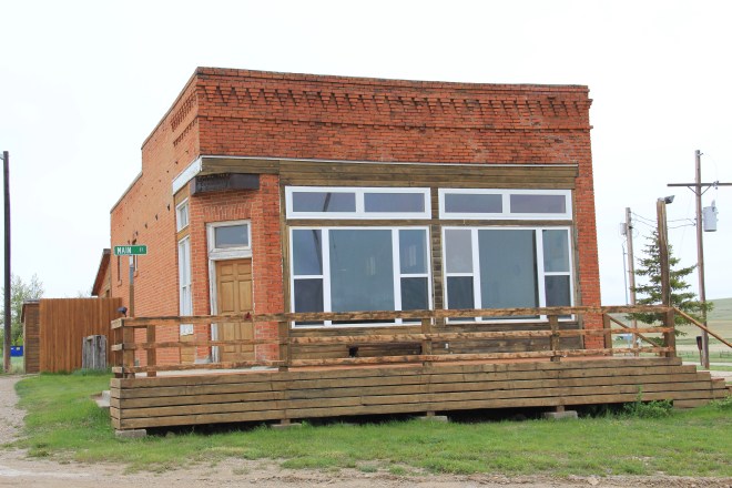
The highway veers away from the railroad line at Garneill, meaning that the old state bank at Buffalo was a forgotten place in 1984–and the town remains so today.
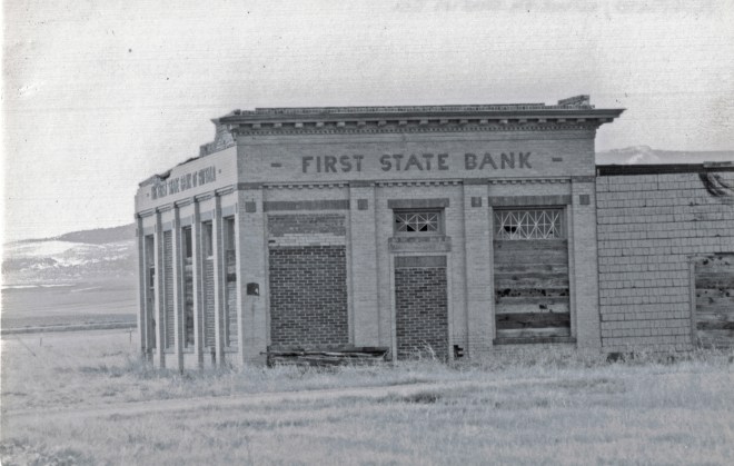
First State Bank, Buffalo, 1984.
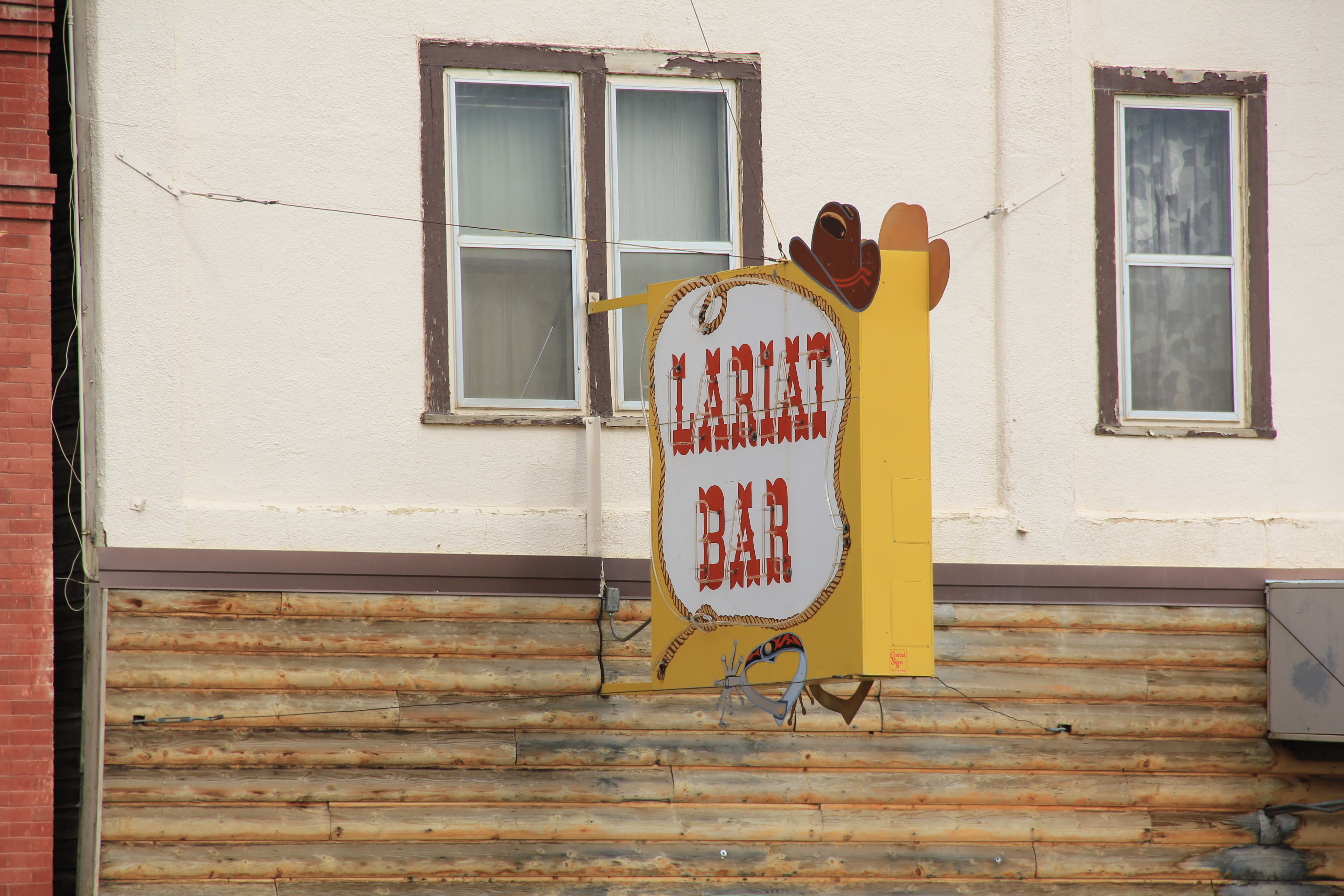
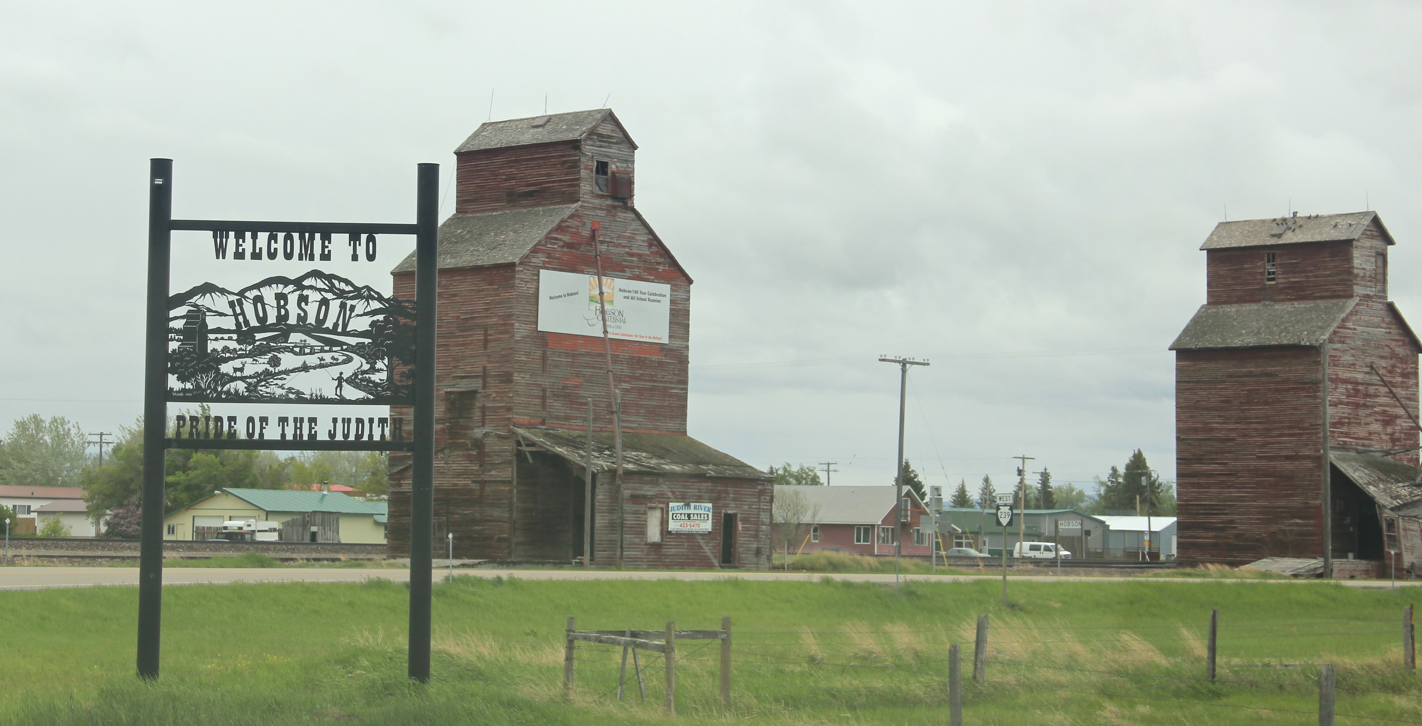
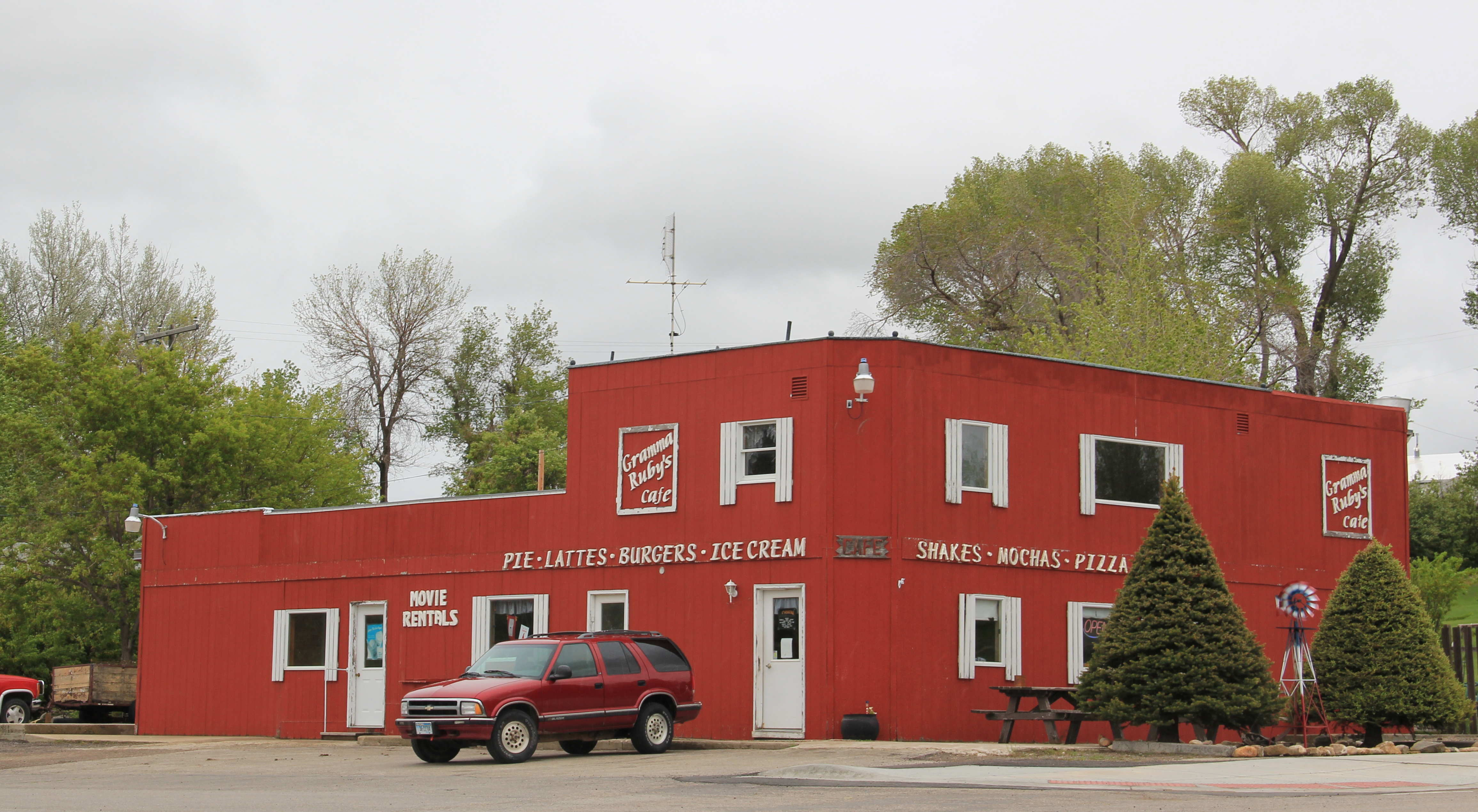
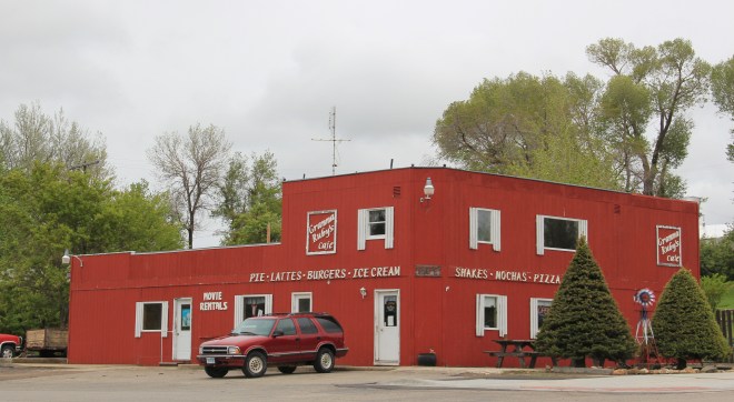
Hobson, on U.S. 87/Montana 200, has experienced a much brighter history. Its brick bank building houses a local bar. While no depot remains, the town’s railroad line remains a 
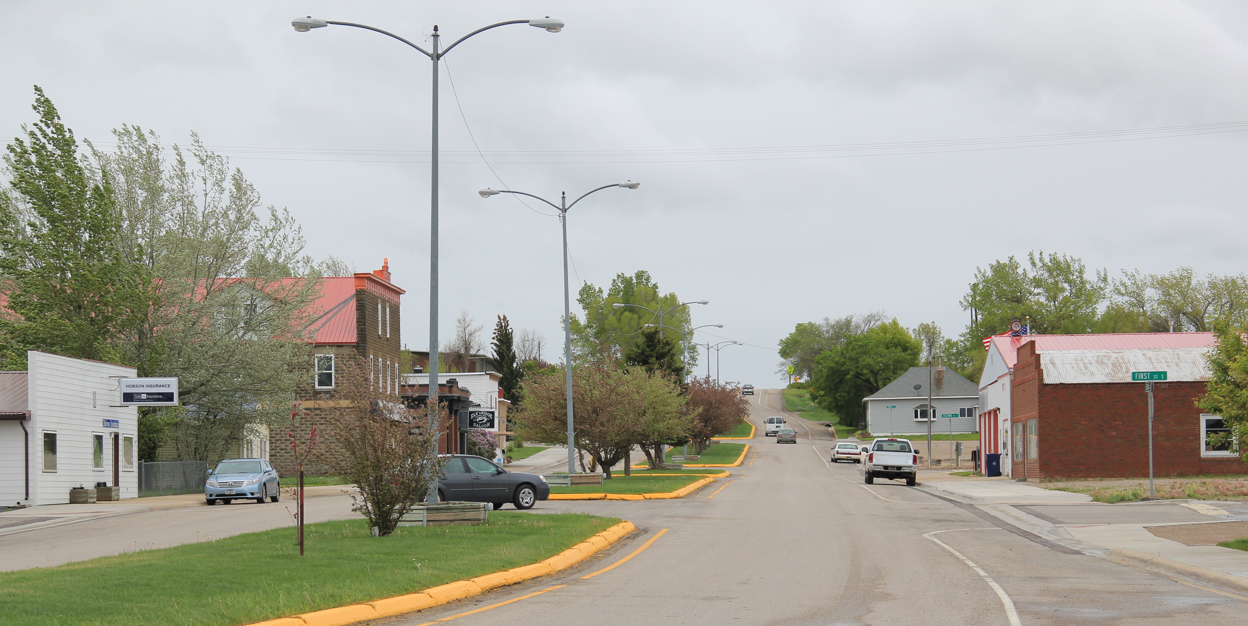
 point of focus, although most traffic, commercial and otherwise, relies on the highway. Hobson’s population when I visited in 1984 was at its height, 261 people in 1980, and it still tops over 200 today. Another defining characteristic is Hobson’s rather unique (for a plains country town) boulevard plan.
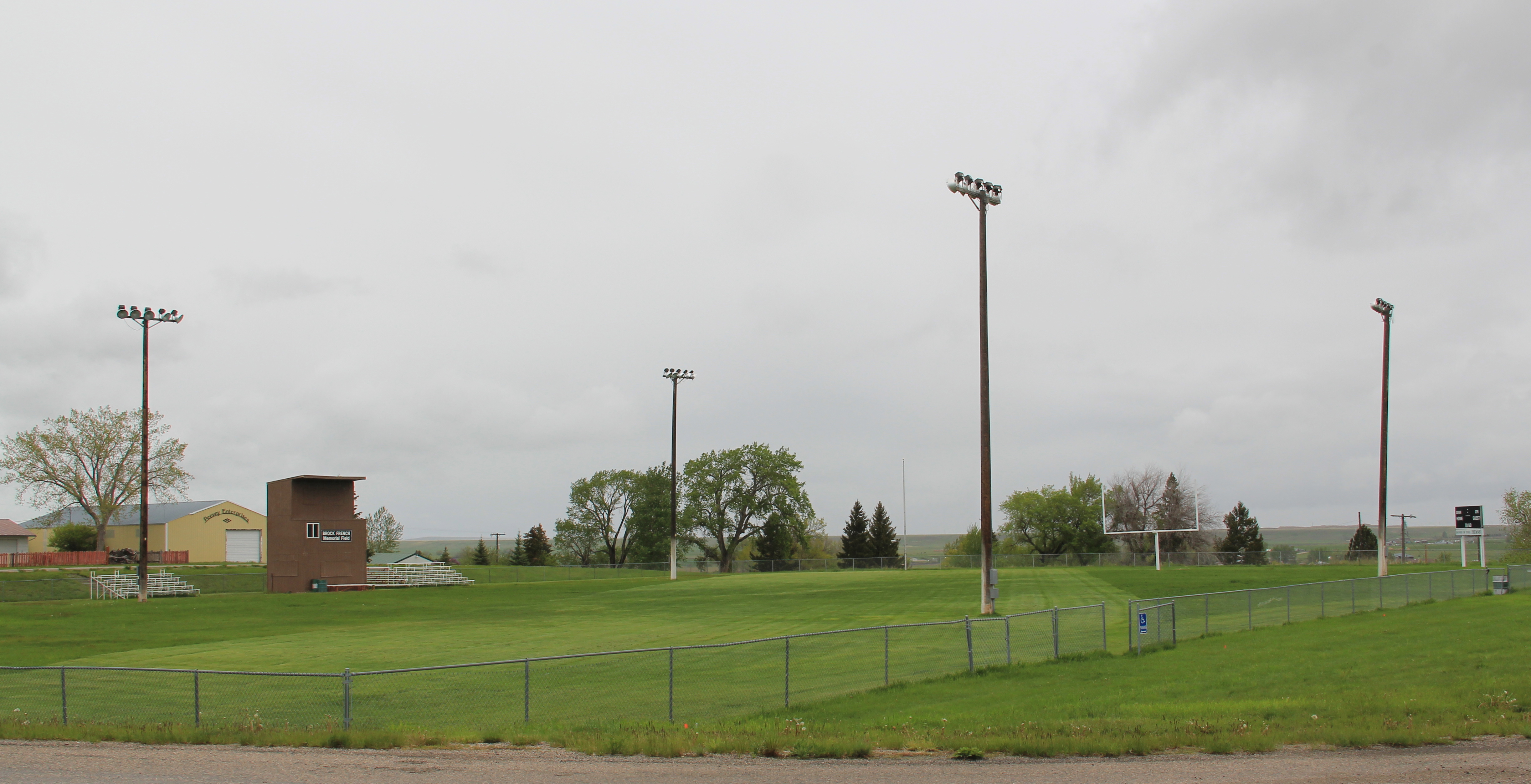
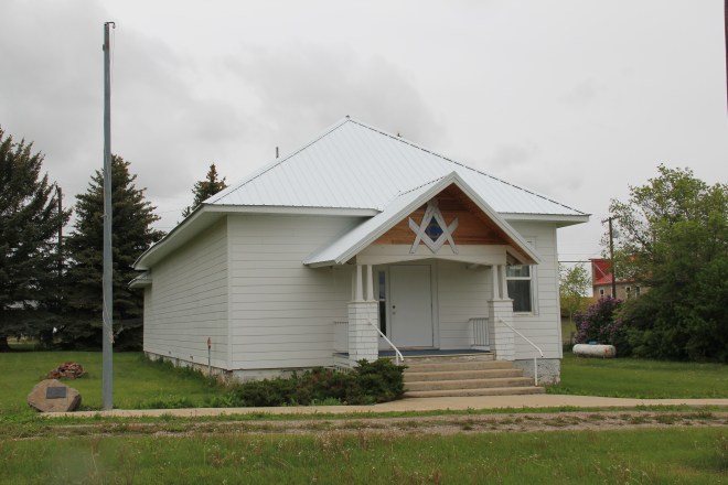
 On either side lie business and public buildings and the street ends at the high school, where the six-man football field is a central element of the community’s public landscape.
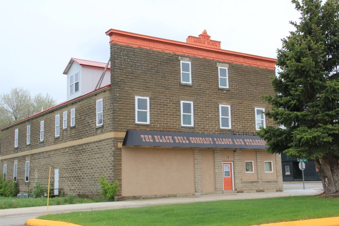
 The Murray Block, 1910, dominates the business district today as it much have done one hundred years ago–it is rare to see a false-front concrete block building. The Masonic
 Lodge probably helps to identify some of the builders of Hobson’s historic structures located on the boulevard. But whoever the builders were, here is a very interesting place

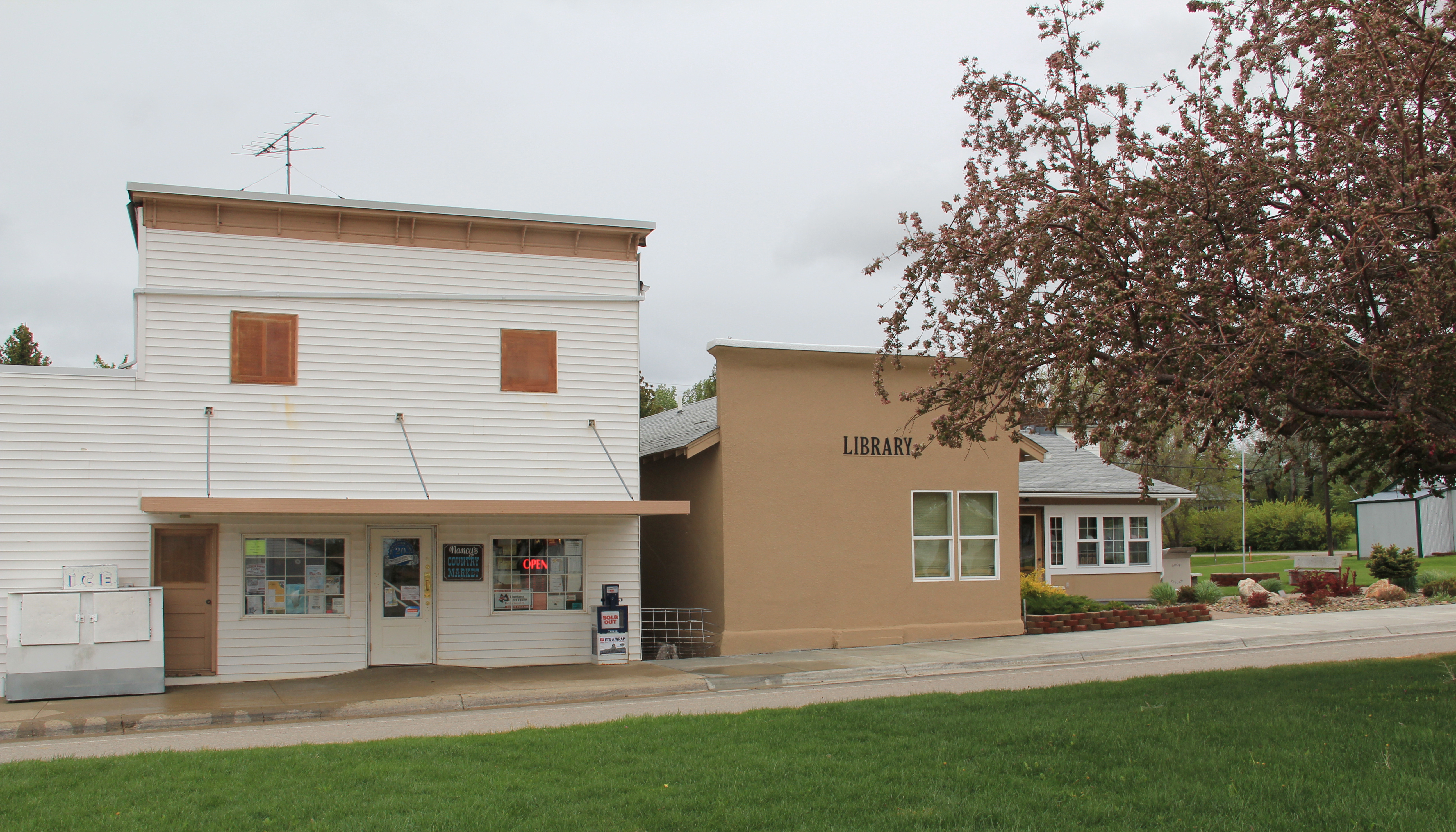
 and just as importantly the properties are in use, be they a cafe, a store, or a library. A long two-lane road, Montana 239, stretches east from Hobson along the Judith River and headed into Little Belt Mountains. The paved road ends at the earlier settlement of the
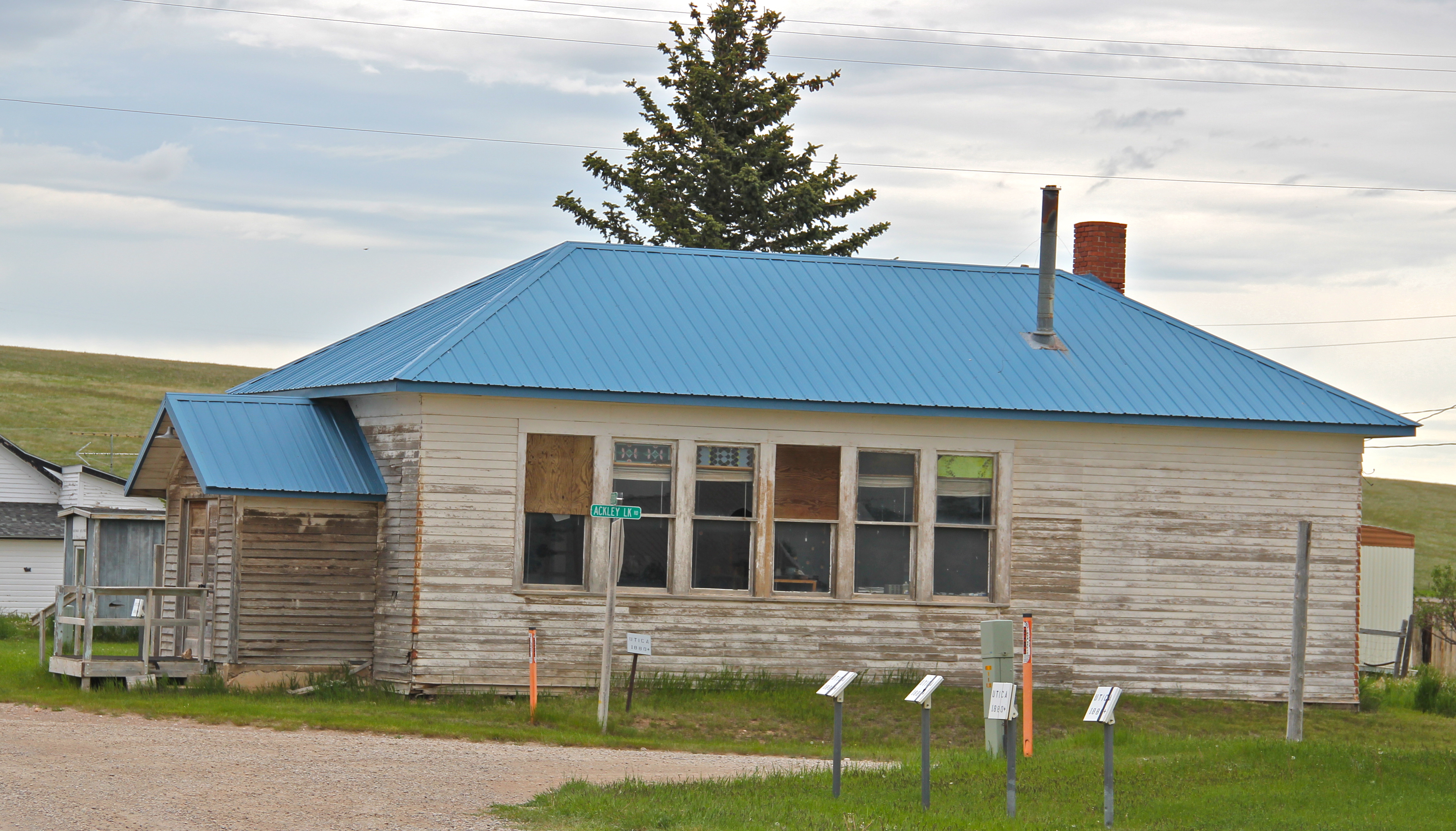
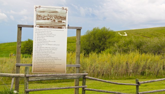
 basin, the cowboy town of Utica, made famous by the paintings and writings of Charles M. Russell, the state’s most famous artist. Utica has a strong sense of itself, although it is justa tiny place today. A large part of that sense of the past is maintained and enhanced by the work of the Utica museum, the local historical society, and the town rod and gun club. Utica has a level of public interpretation that was certainly not in place in 1984 and that today is rarely matched in a small Montana town.


 Utica also has done a commendable job of maintaining and preserving key community buildings, such as the early 20th century school and community hall, both properties associated with the homesteading boom of that time. The town’s historic store is a little

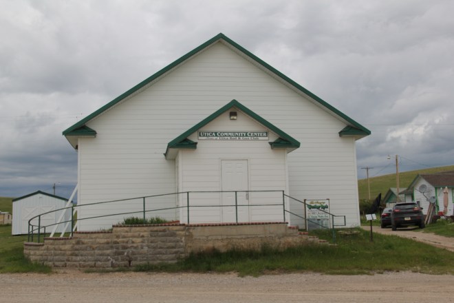 worse for the wear of 100 years of use, but it is still here, and the stone construction speaks strongly to the vernacular quality of the area’s built environment.
 History and preservation are not the only reasons for Utica’s survival. In true Montana fashion, most people who take the long drive here come for the food, drink, and good
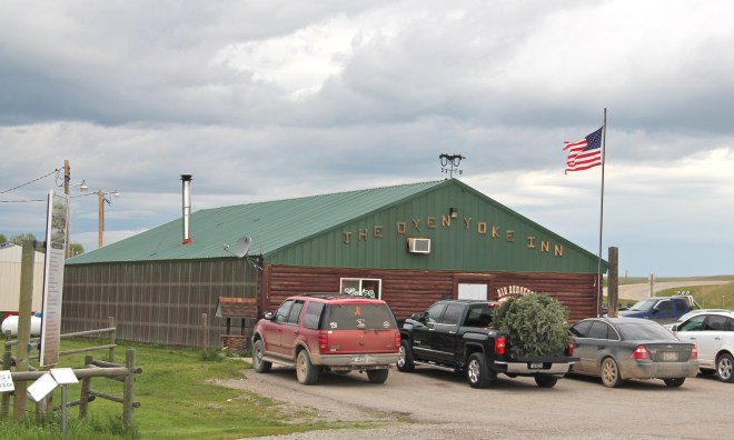 times at the Oxen Yoke Inn–why else would you locate the town’s primary interpretive sign next to the bar’s parking lot.
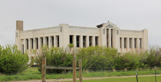
 For most travelers the highway from Hobson at the eastern end of Judith Basin County to Stanford, the county seat, in the center of the county, is just open road. But between those two towns three Great Northern hamlets still have significant remnants of their past. Moccasin was such a favorite in 1984 that the resulting book from the survey work, A Traveler’s Companion to Montana History, had two images from the place–the New Deal school, with its totally out of place but flashy Art Deco design, and the two-story Classical Revival styled bank building.
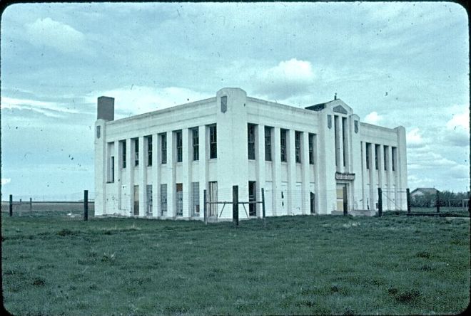
 Those landmarks remain in Moccasin, but much worse for the wear. The school is clearly among those threatened landmarks highlighted by the National Trust for Historic Preservation in 2012. The bank is hanging on, barely.
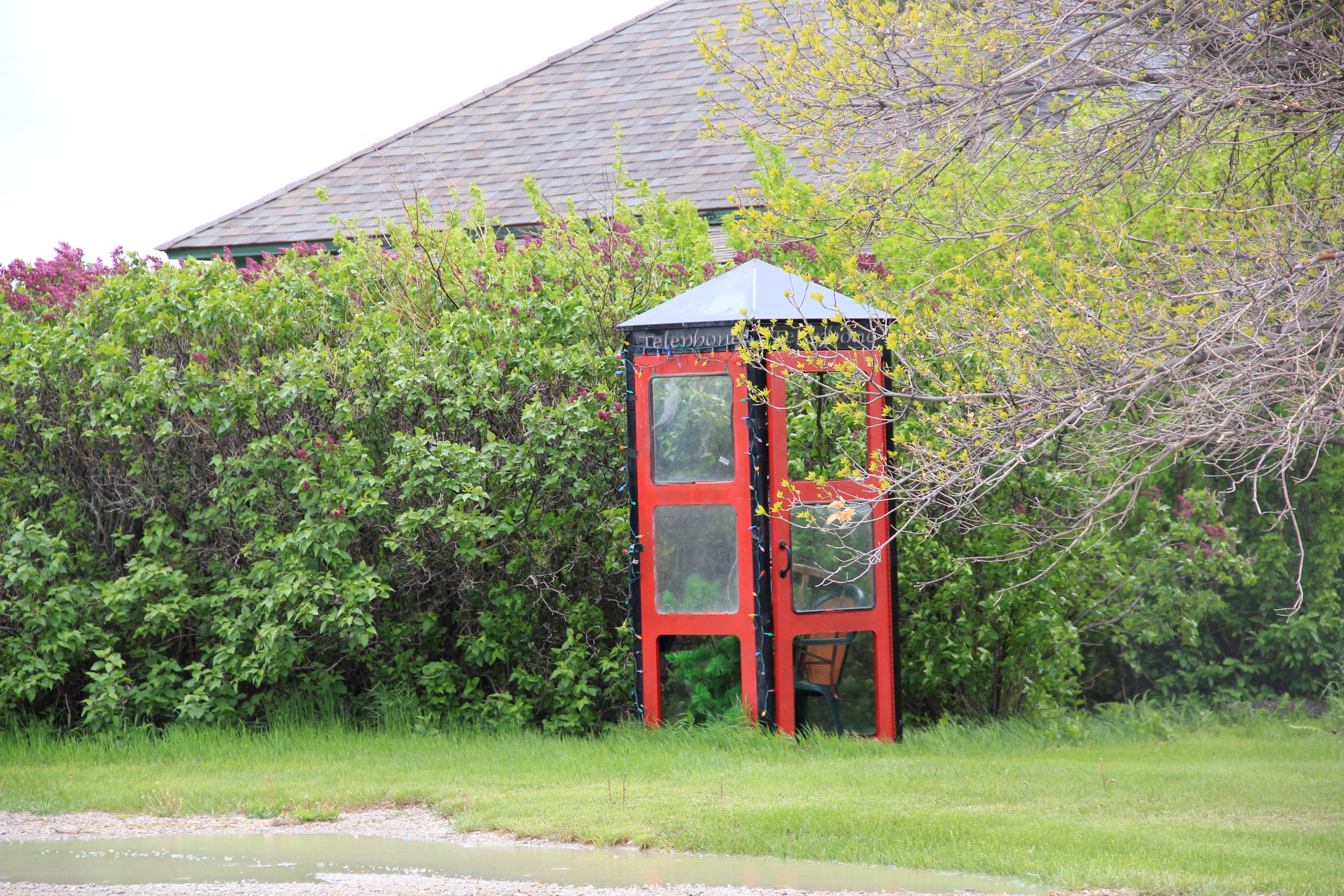
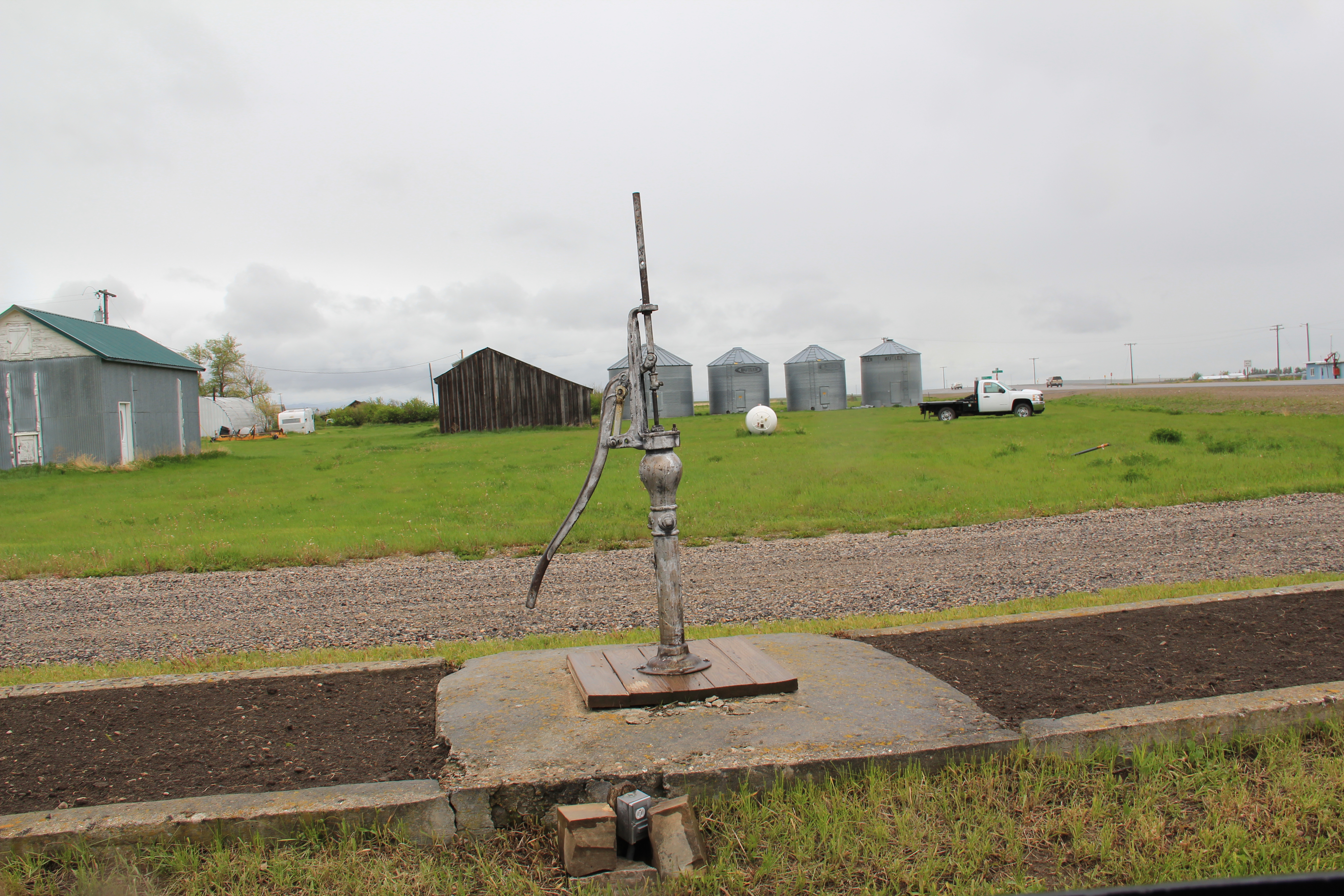
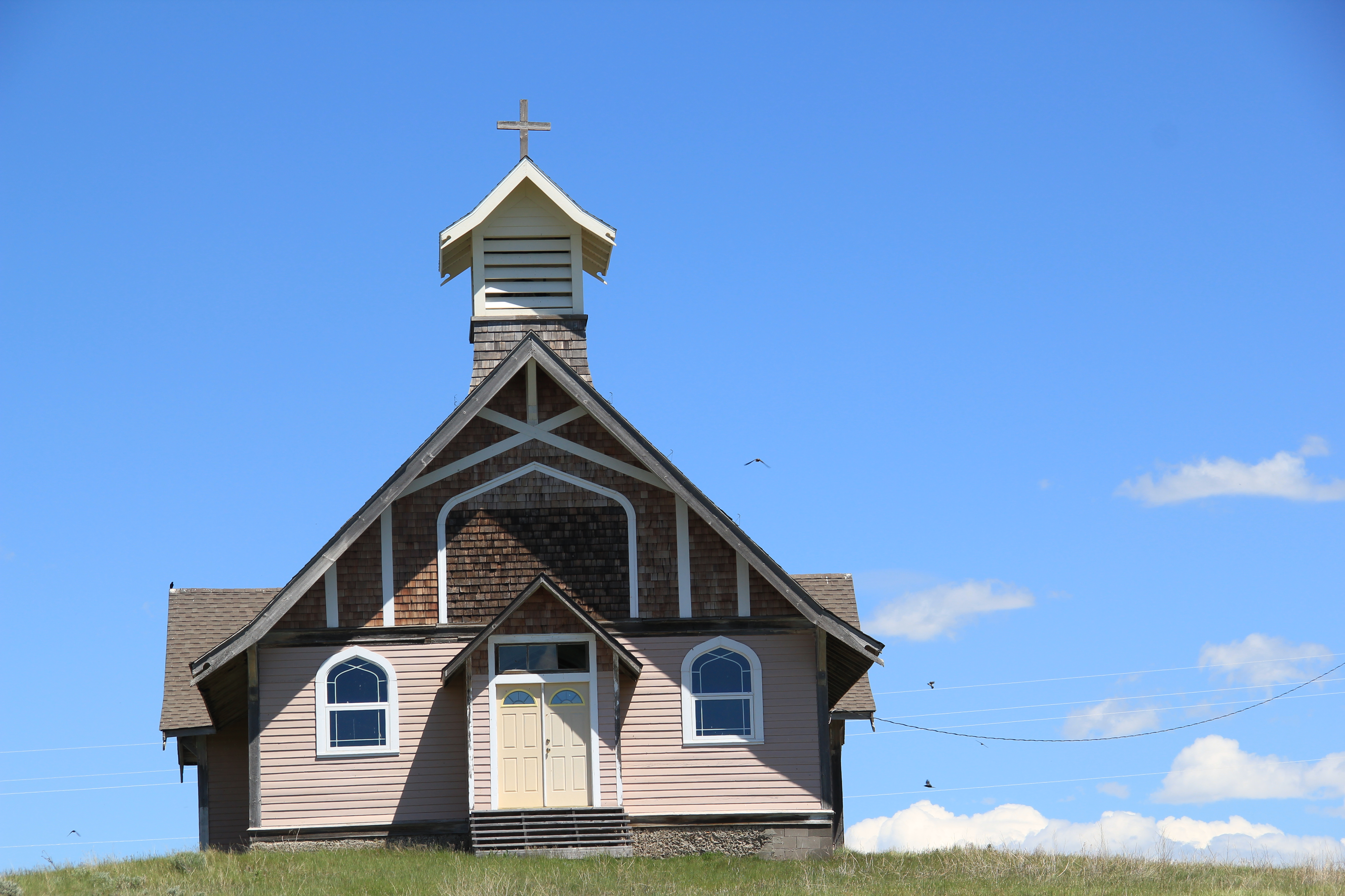
 Moccasin still has other historic buildings worthy of note, such as a church, its town pump, even a telephone booth (a real disappearing part of the landscape from 1984 to 2014).


 More importantly, its historic Great Northern combination depot, although battered, still is along the tracks nearby the elevators, reminding anyone looking closely enough of the railroad roots of the place.
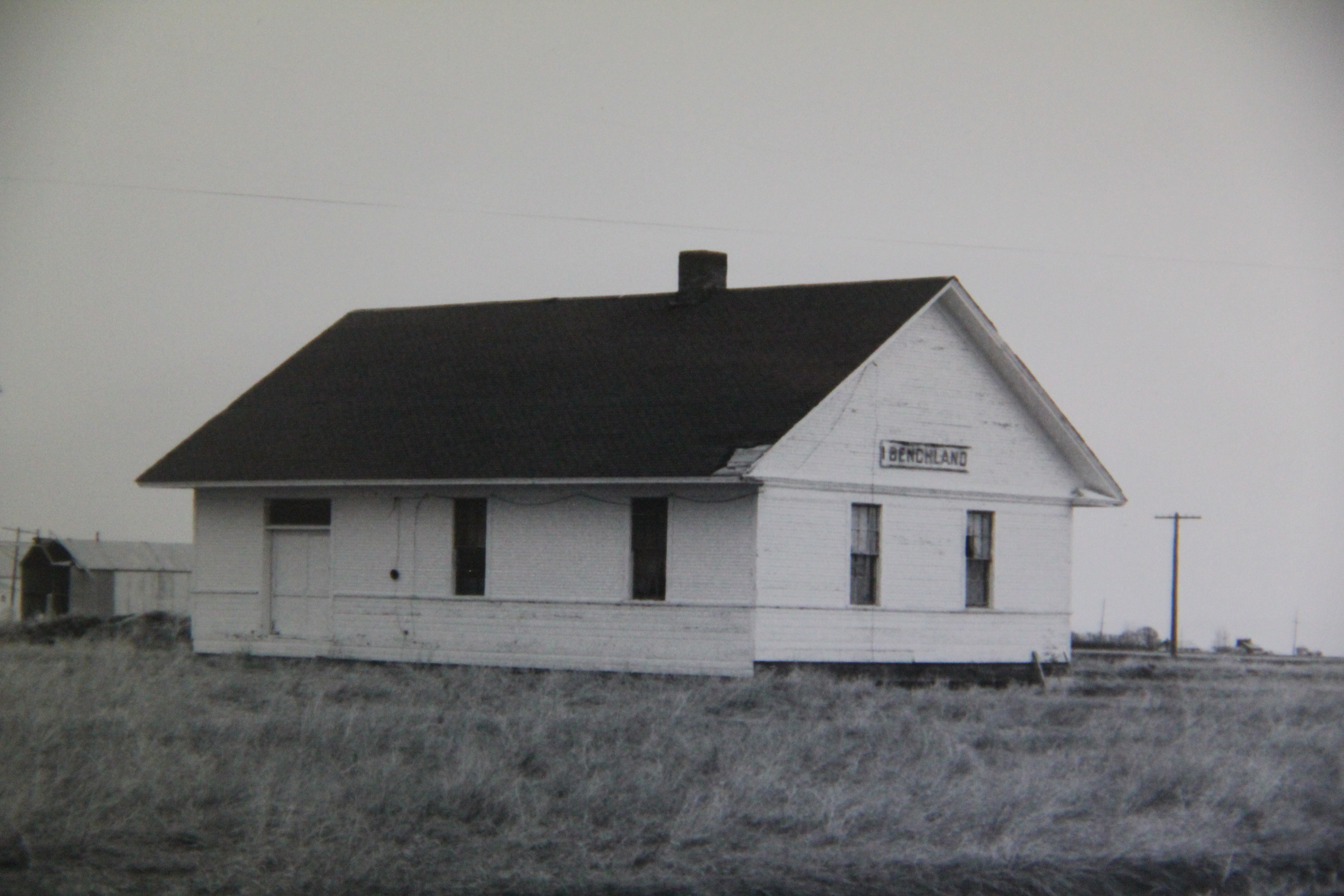
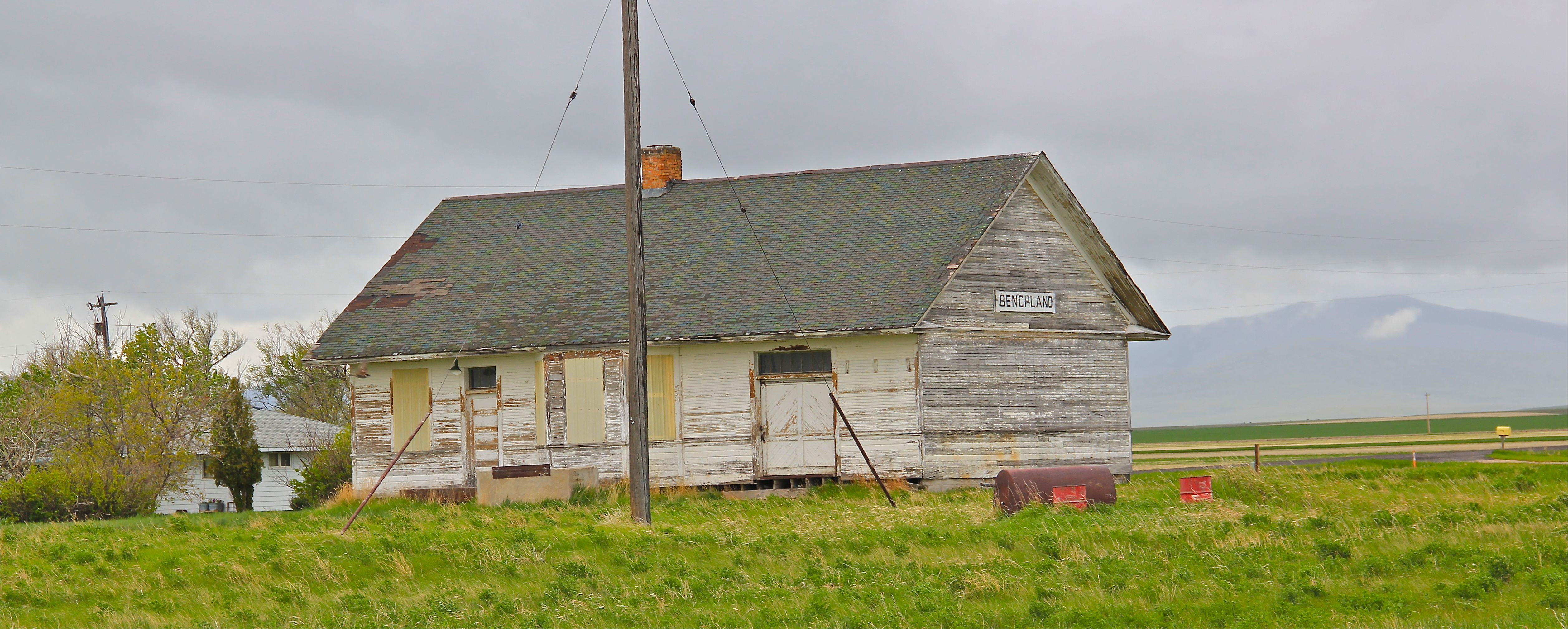
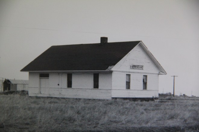
 The next two towns of Benchland and Windham also retain their historic depots. The Benchland station has deteriorated in the last generation as documented in a comparison of a 1984 image with one from 2014.
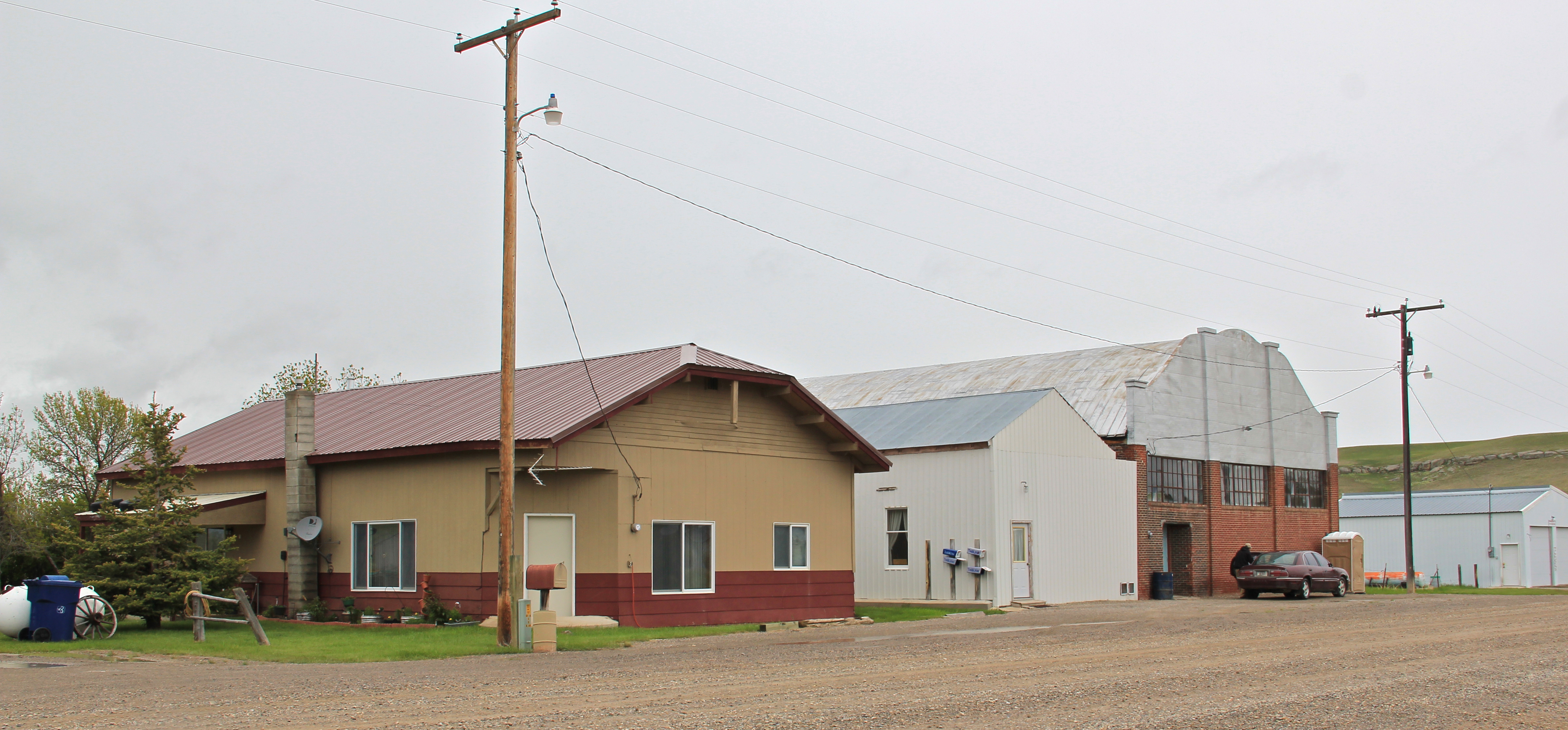
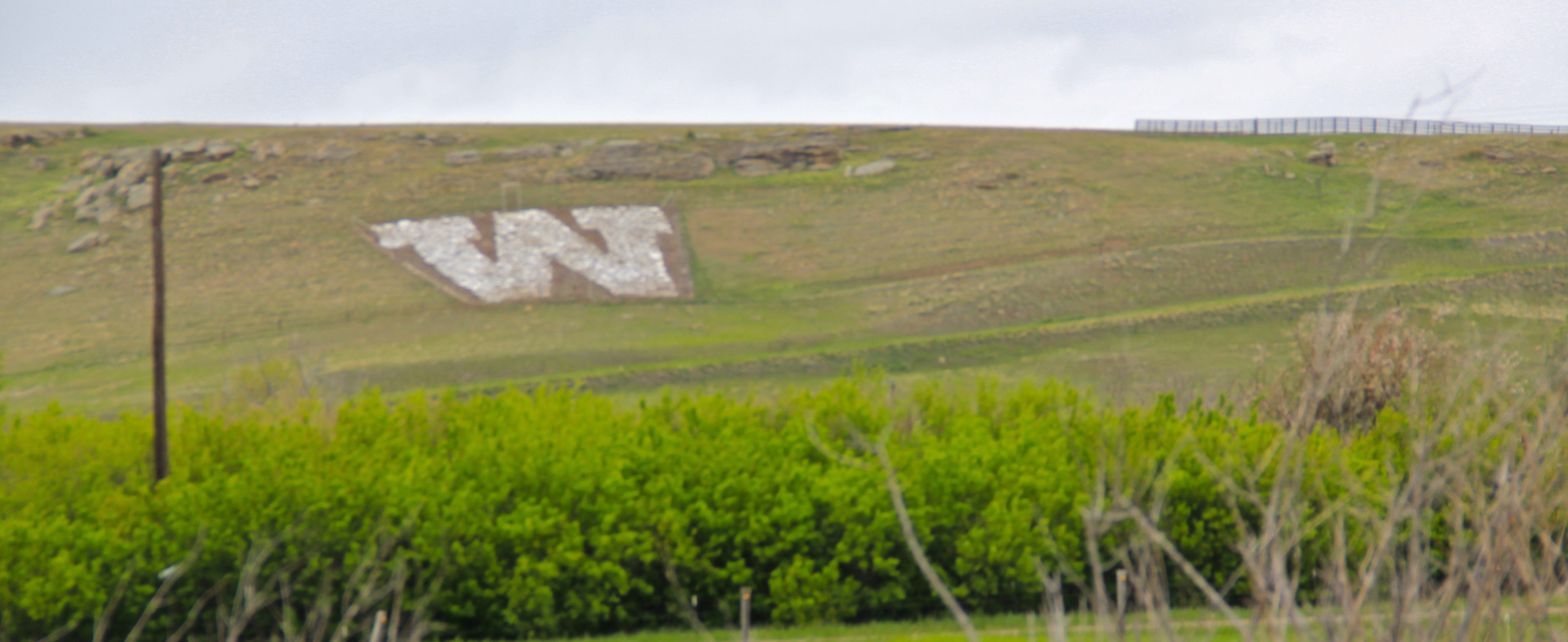
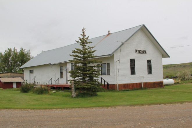
 The Windham depot has been moved slightly off the tracks–but still within a stone’s throw of the rails. The station, along with the historic commercial strip of the T-town plan, and historic elevators, still give meaning to the “W” of the town sign.

 The curve of the tracks headed to Stanford is a good place to rest with this post–more on the plains country towns of the Judith Basin in the next post.


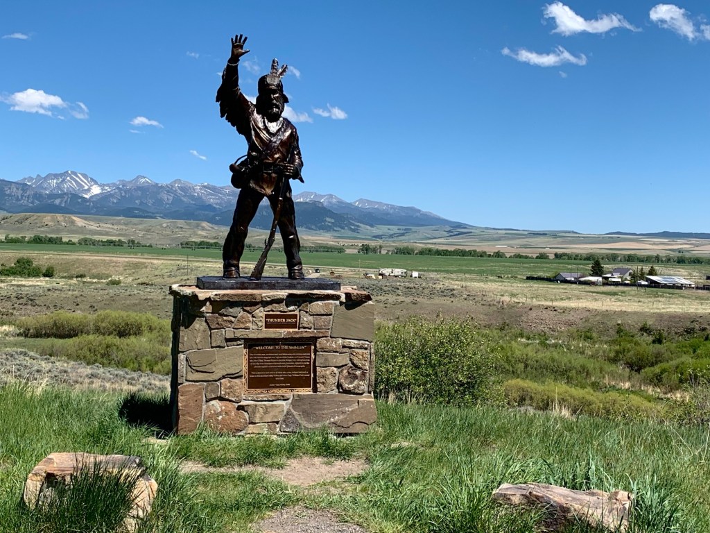


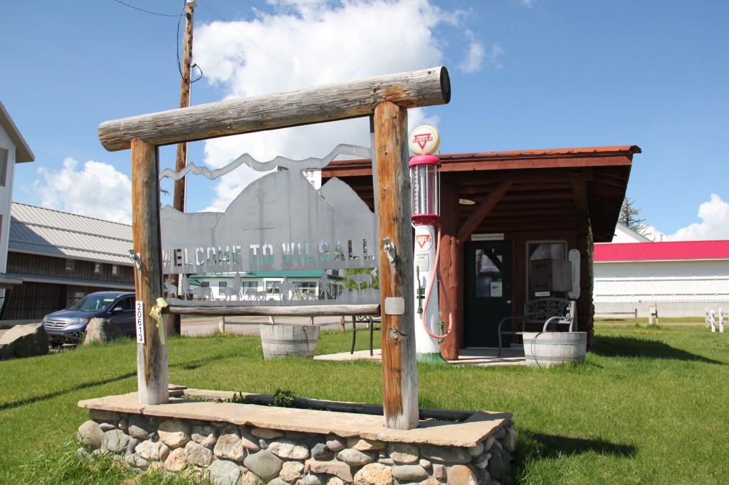
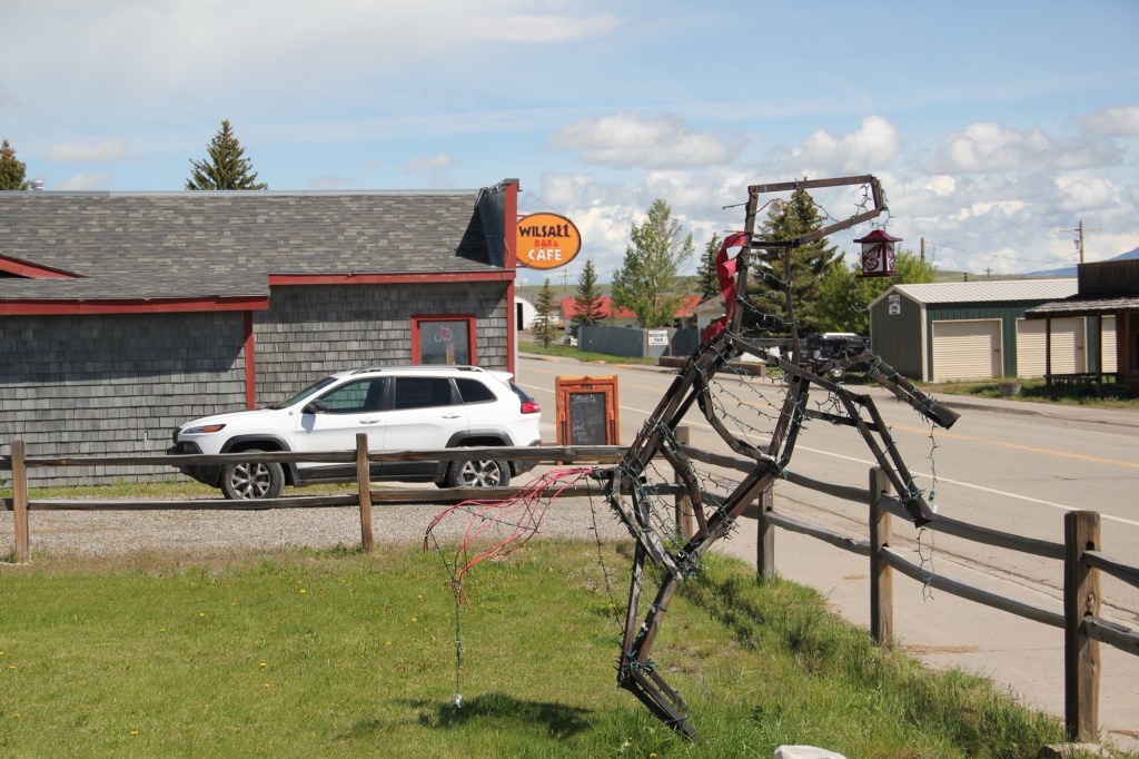


 metal like Thunder jack in the Shields Valley on U.S. 89 north of Livingston. There’s always a wave and friendly greeting!


 and consider those who have passed before with the many historical markers.
 The vastness and diversity of the Big Sky Country is amazing, with so many bridges to
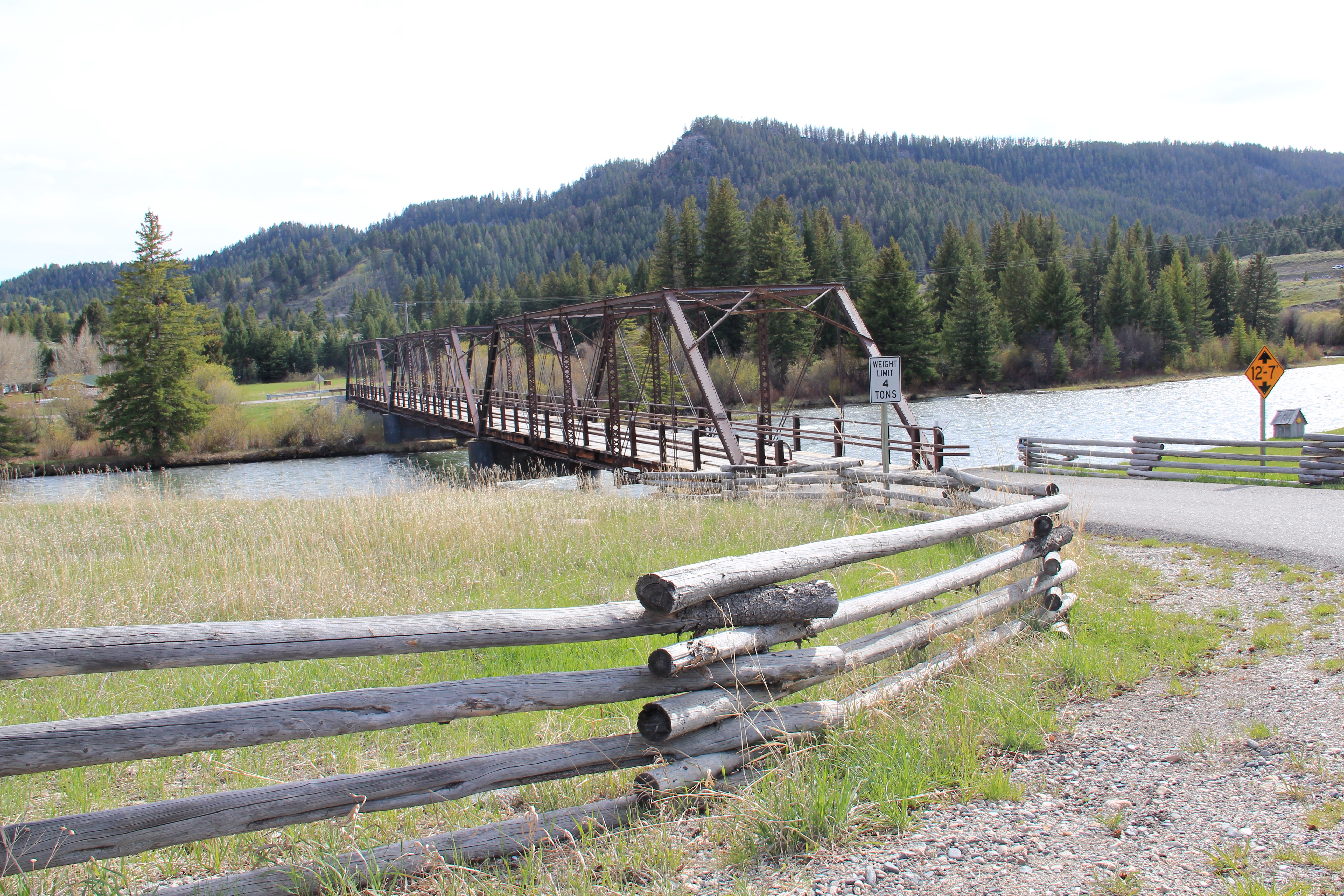
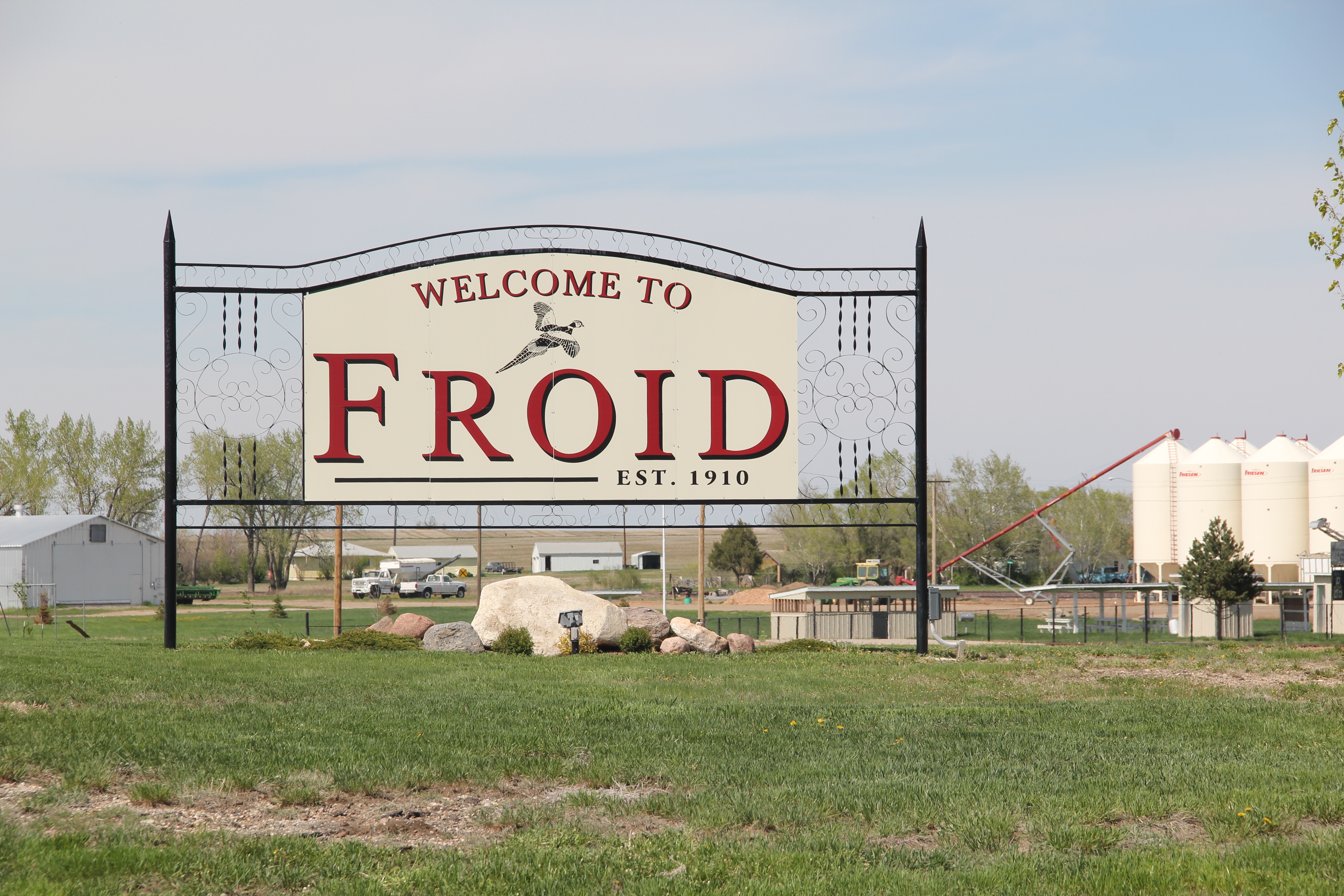
 Beaverhead County Montana is huge–in its area it is bigger than the states of Rhode Island and Delaware combined, and is roughly the size of Connecticut. Within these vast boundaries in the southwest corner of Montana, less than 10,000 people live, as counted in the 2010 census. As this blog has previously documented, in a land of such vastness, transportation means a lot–and federal highways and the railroad are crucial corridors to understand the settlement history of Beaverhead County.
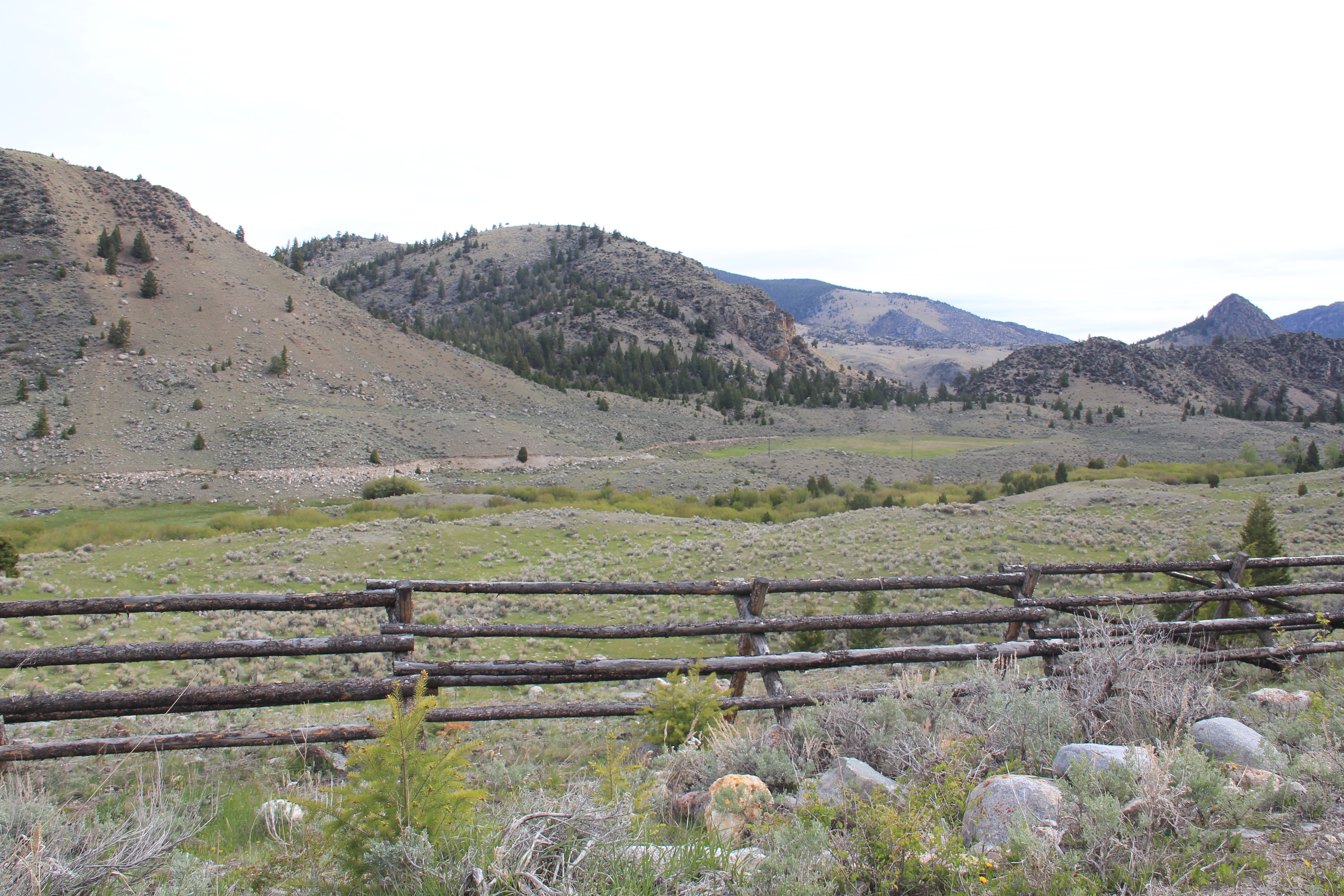
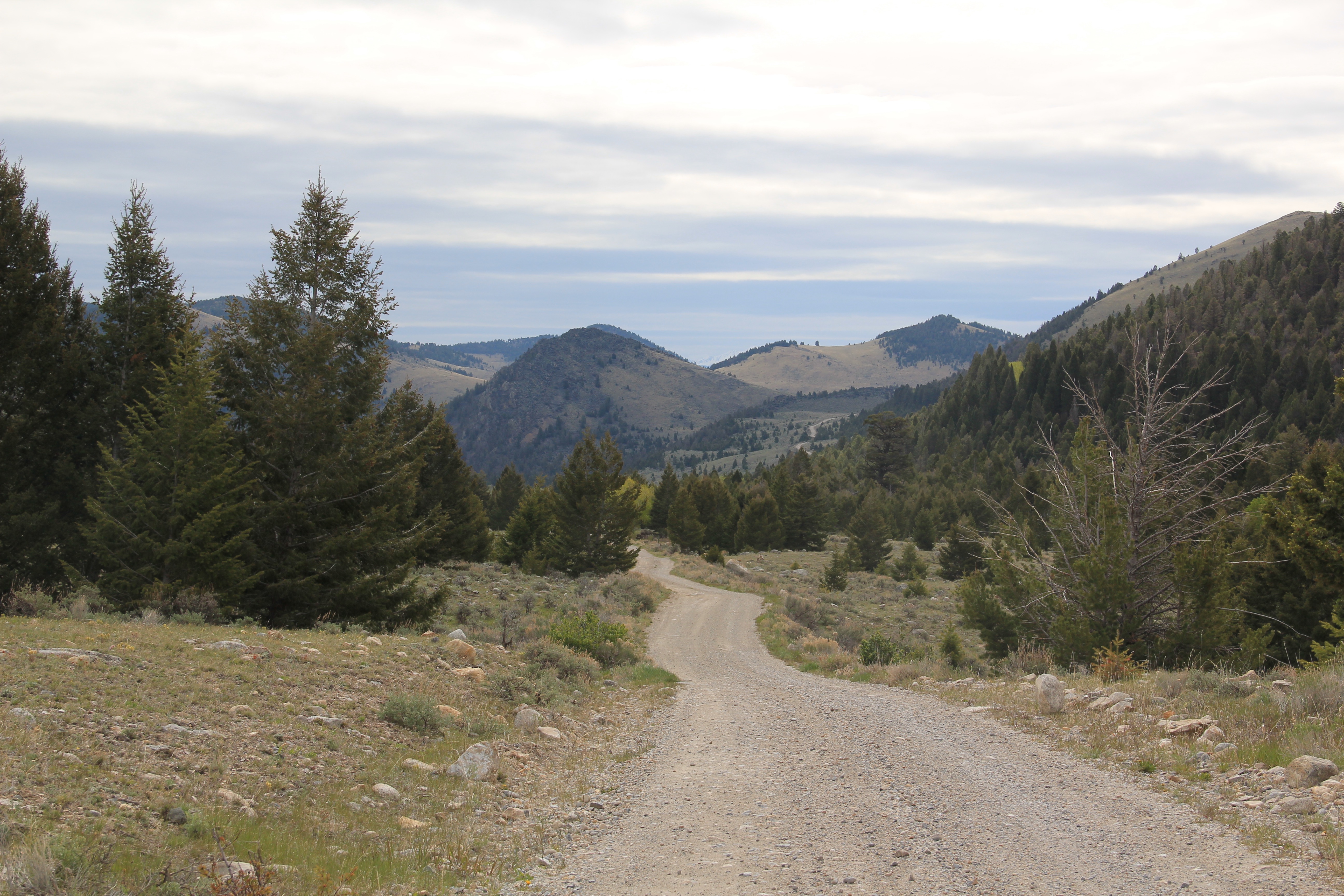
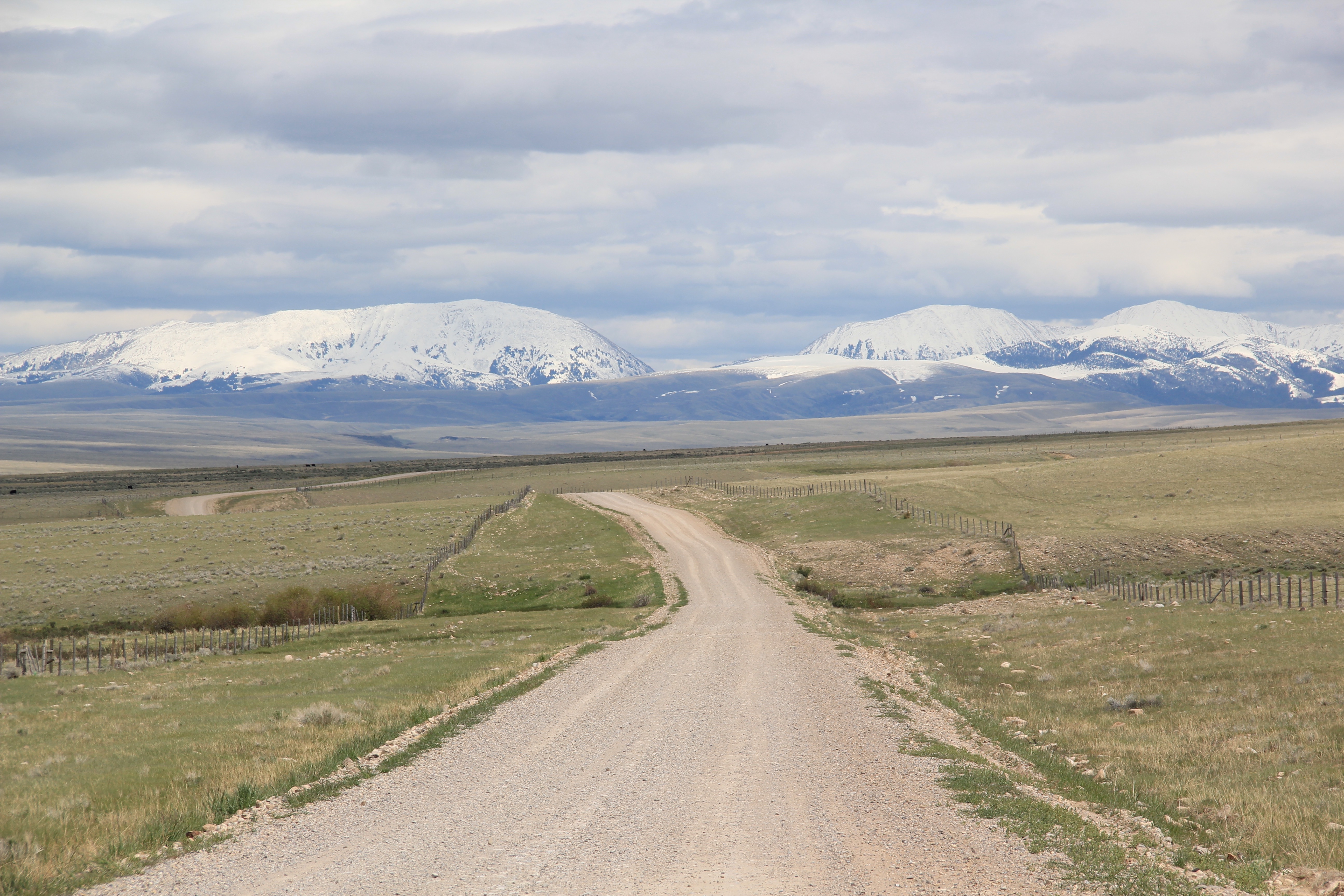 This post takes another look at the roads less traveled in Beaverhead County, such as Blacktail Creek Road in the county’s southern end. The road leads back into lakes and spectacular scenery framed by the Rocky Mountains.
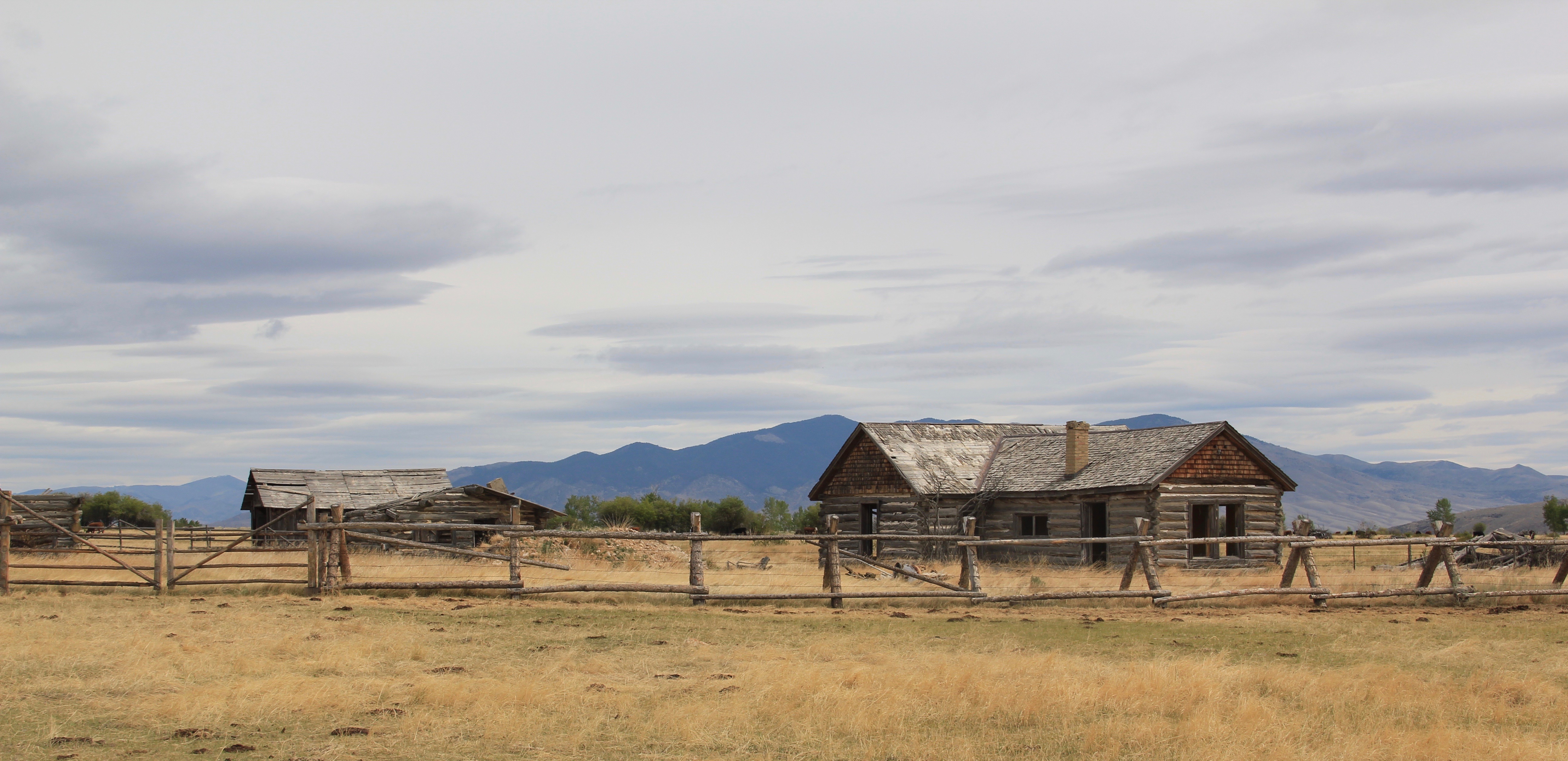
 But along the road you find historic buildings left behind as remnants of ranches now lost, or combined into even larger spreads in the hopes of making it all pay some day.

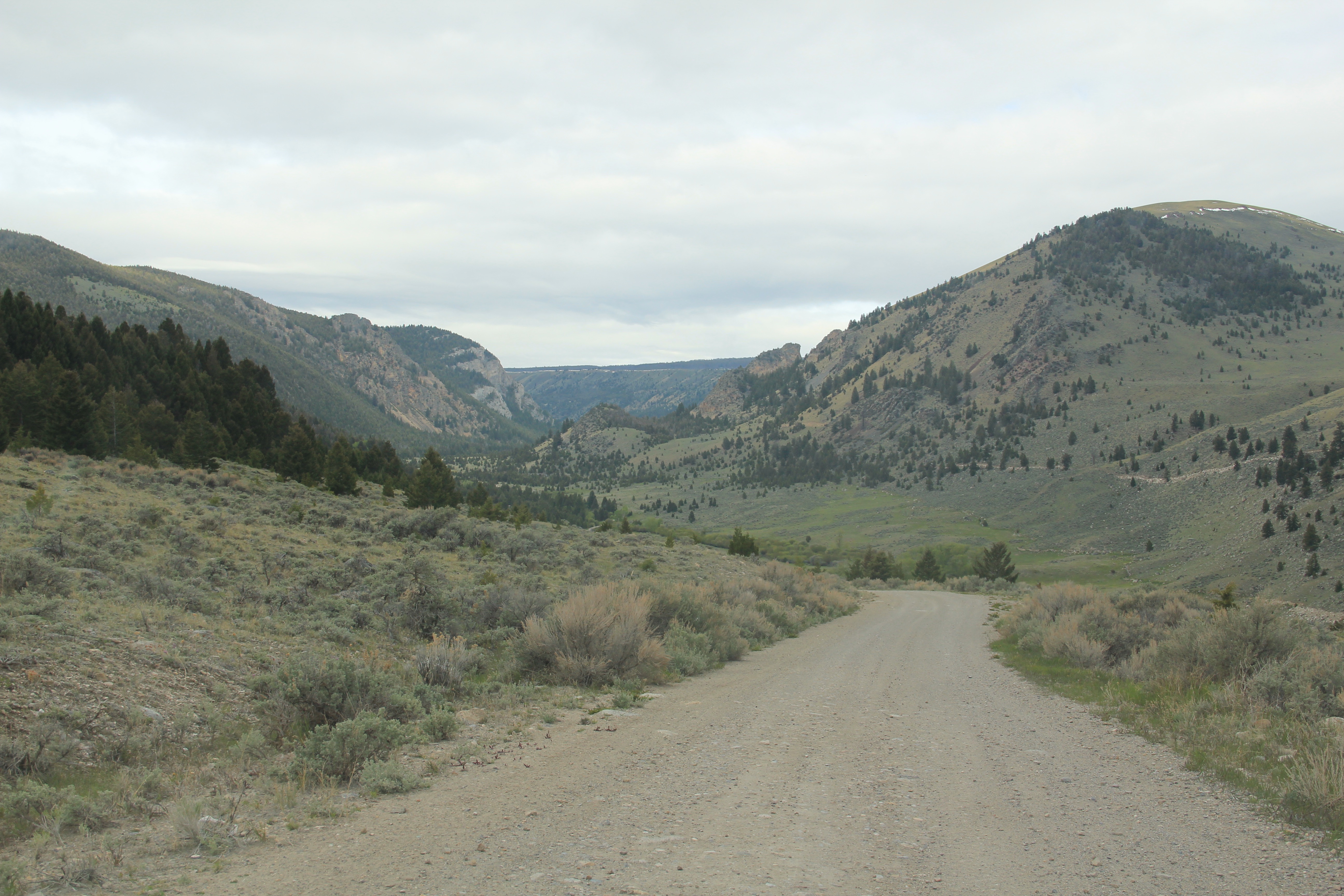
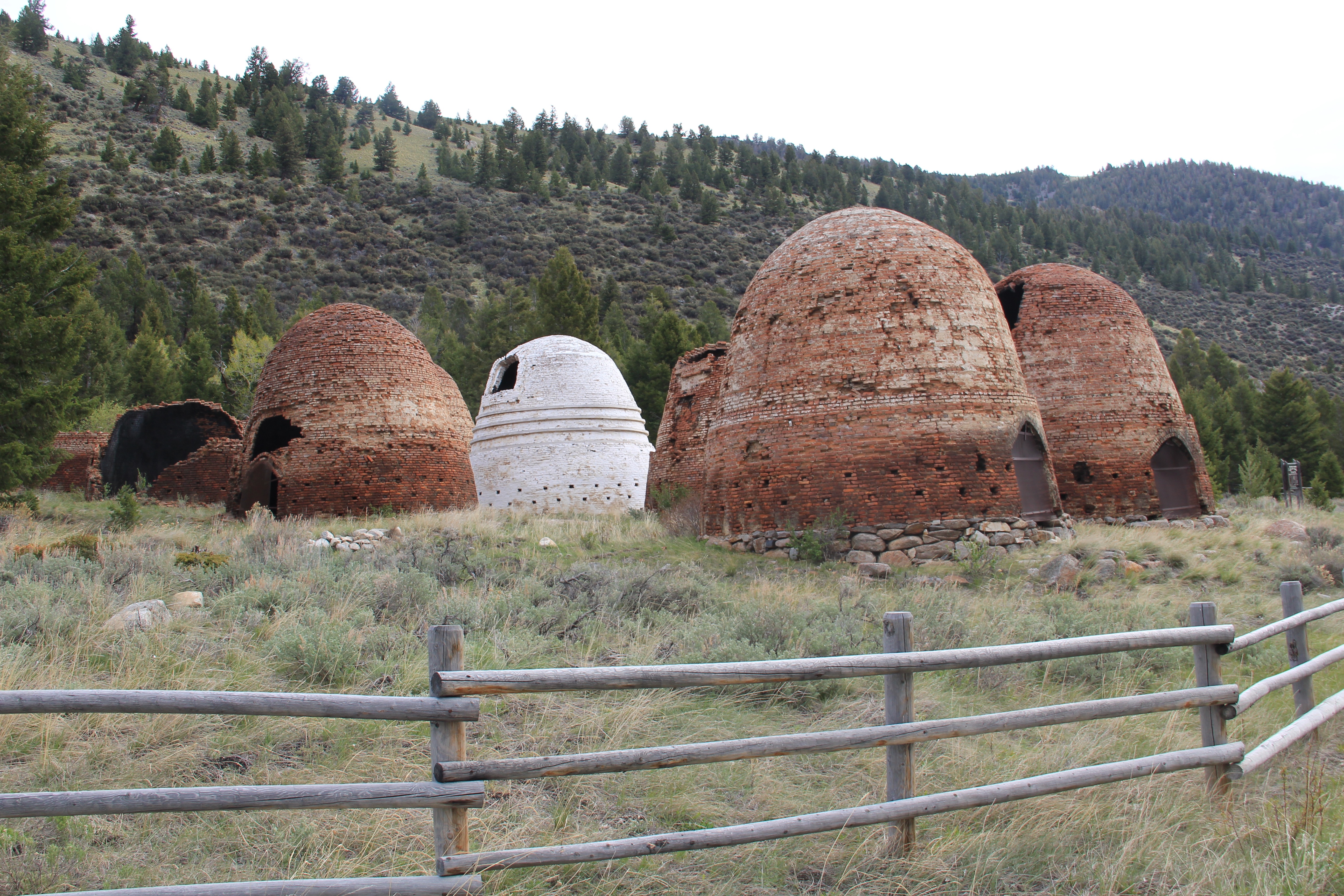
 Birch Creek Road was shaped by the efforts of the Civilian Conservation Corps in the 1930s as the Corps carried out multiple projects in the national forest. This road has a logical destination–the historic Birch Creek C.C.C. Camp, which has been listed in the National Register of Historic Places. The University of Montana Western uses the property for outdoor education and as a conference center that is certainly away from everything.


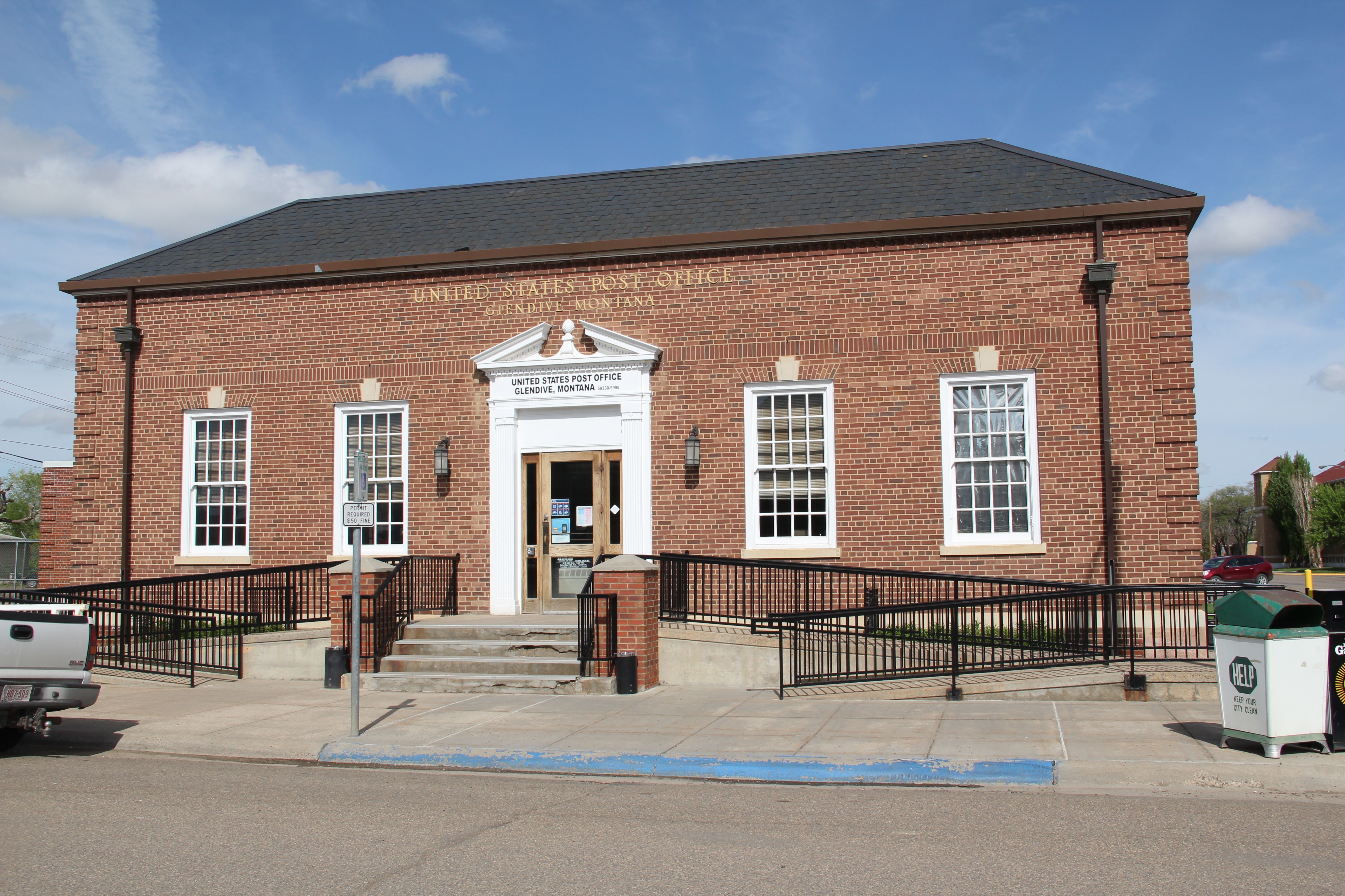
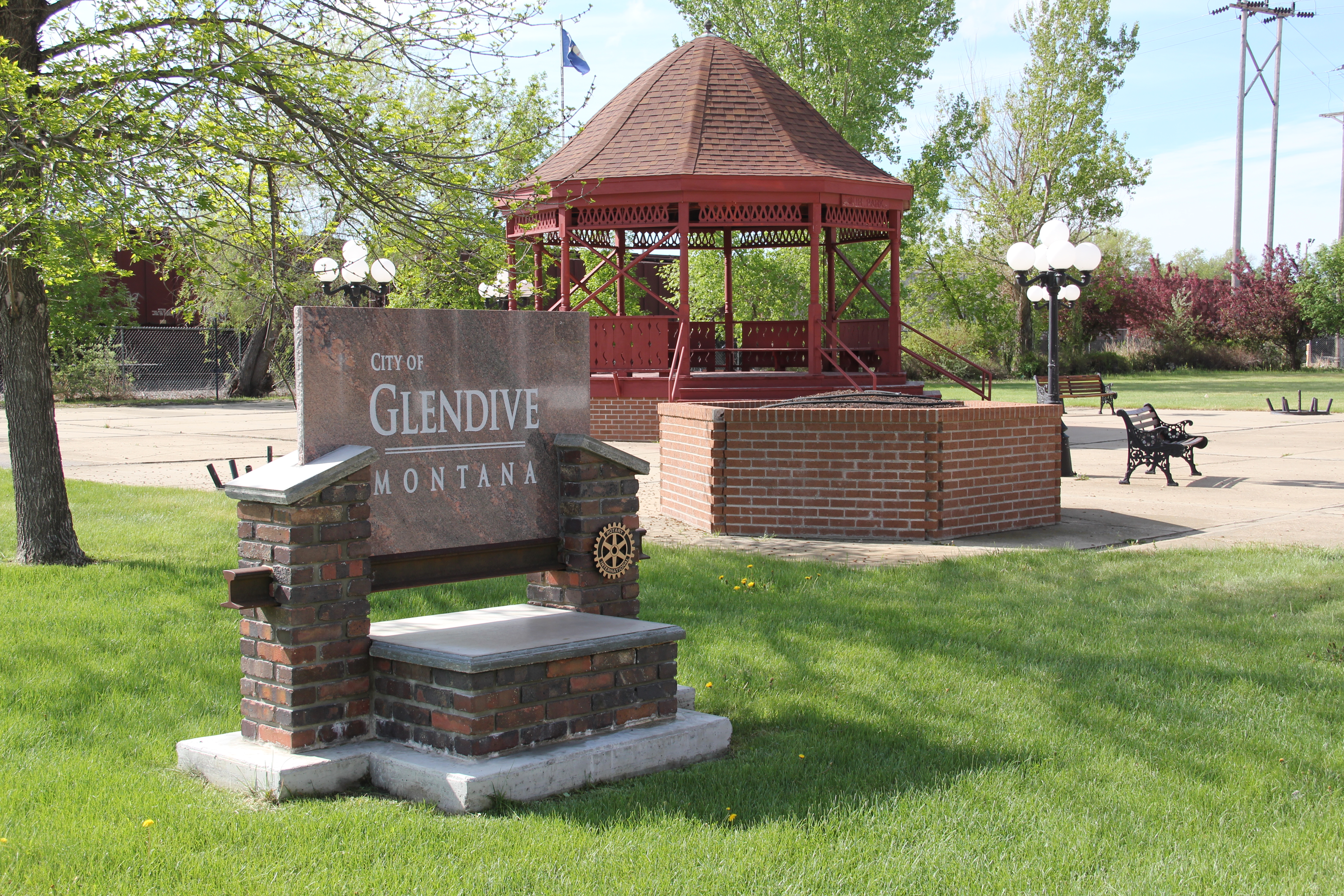 In the early posts of this exploration of Montana’s historic landscape I spoke of the transformation that I encountered when I revisited Glendive, the seat of Dawson County, for the first time in about 25 years, of how local preservation efforts had kept most of the town’s railroad era landscapes alive while leading to the revitalization of its amazing number of historic residences from 1900 to 1950.
 Let’s now turn our attention to public landmarks, old and more recent, that also deserve notice, starting with the magnificent Classical Revival-styled City Hall, one of the anchors of the Merrill Avenue historic district, which is listed in the National Register of Historic Places. Built in 1914, this all-in-one municipal building is an impressive architectural
 statement by the second generation of Glendale’s leaders that the town would grow and prosper during the homesteading boom of the first two decades of the 20th century. The architect was Brynjulf Rivenes of Miles City. His firm had so many commissions coming from eastern Montana and Yellowstone Valley patrons that by this time Rivenes operated offices in both Glendive and Miles City.
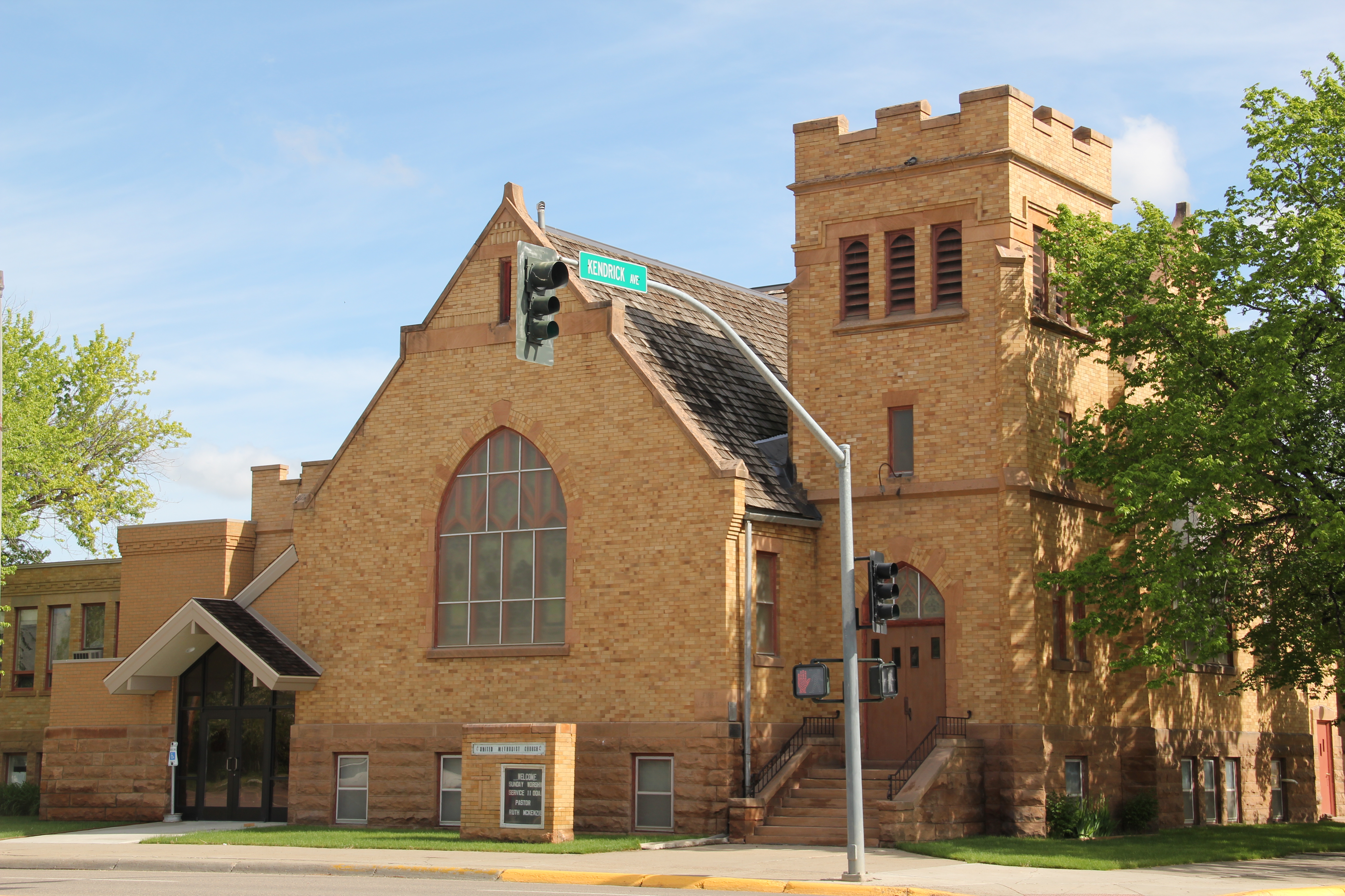 Rivenes had earlier marked Glendive’s new emerging townscape with his Gothic design for the First Methodist Church, in 1909. Fifteen years later, he added another landmark church design with the Romanesque styled Sacred Heart Catholic Church (1924-1925).

 With recovery and the arrival of more and more automobile traffic from the late 1930s to the 1950s, many of the older buildings received mid-century updates. The remodels could
 The 1950s and 1960s brought many changes to Glendive. Post World War Ii growth both in the town and the many surrounding ranches led to expansion and remodeling at the historic Glendive Milling Company in 1955. When the historic districts for Glendive were designated in the late 1980s, preservationists questioned the inclusion of this important industrial/agricultural complex due to the changes of the 1950s. Viewed today, however, the mill complex is clearly a very significant historic site.
 More contemporary styled church buildings were also dedicated in the mid-century, such as the classic “contemporary” styling of the Assembly of God building, with classrooms at
 at the front rather than the rear, or the modified A-frame style of the First Congregational Church, which I shared in an earlier post on Glendive.
 Glendive is very much a blending of different 20th century architectural styles, reaching back into the region’s deep, deep past, as at Makoshika State Park, where the visitor
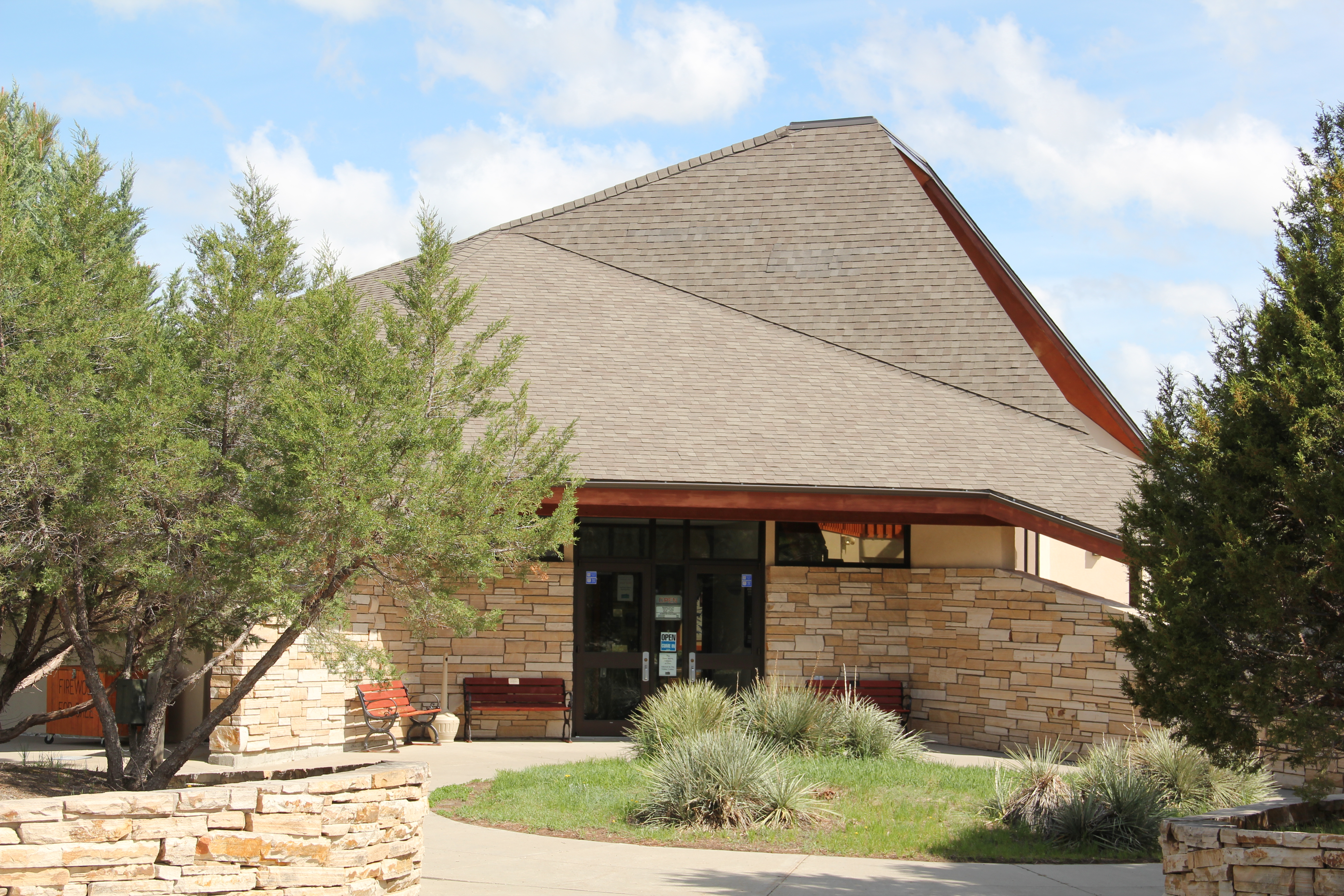 center/museum is an excellent example of late 20th century modern style–clearly a building of the present but one that complements, not overwhelms, the beauty of the park itself.
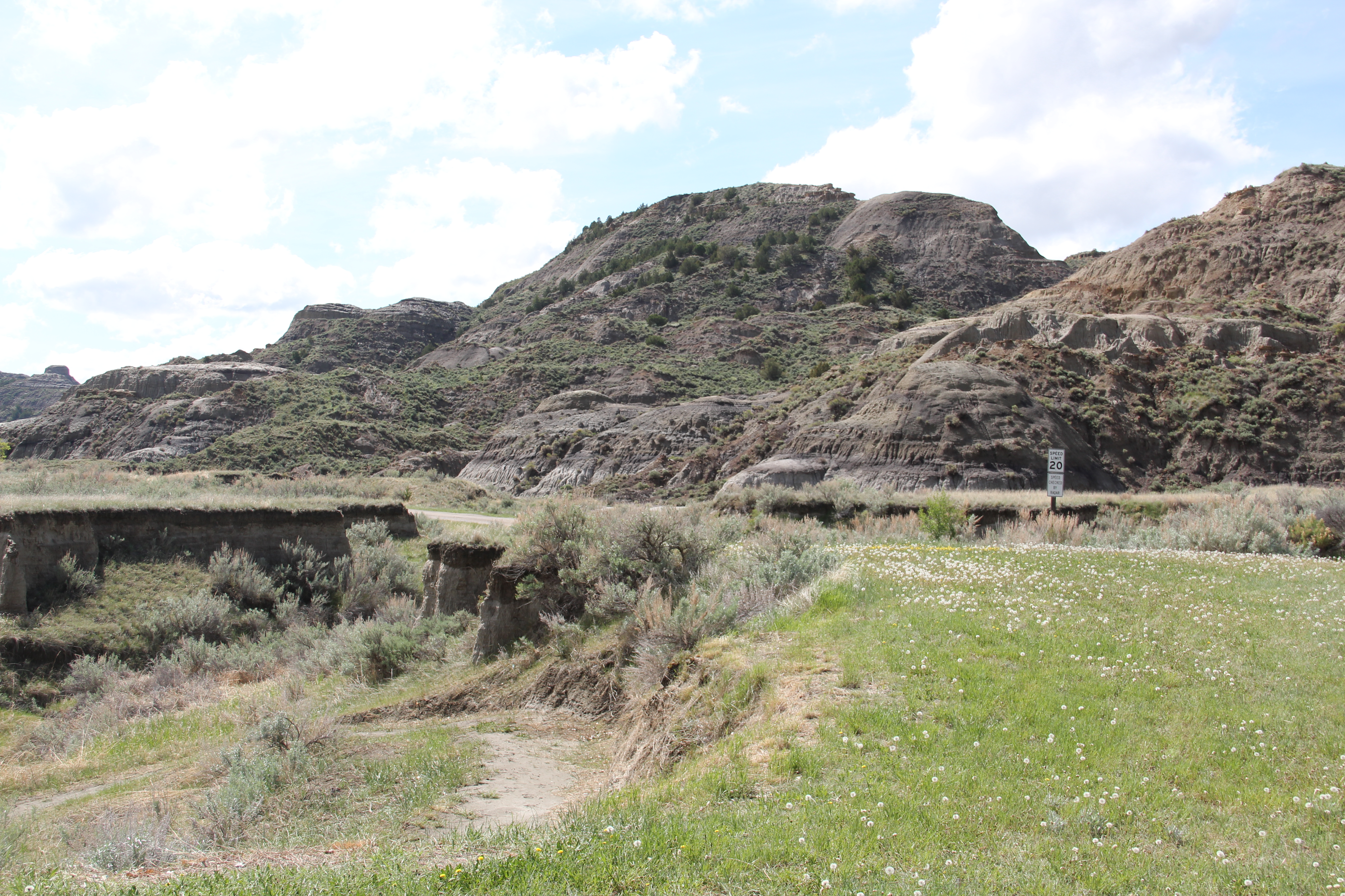
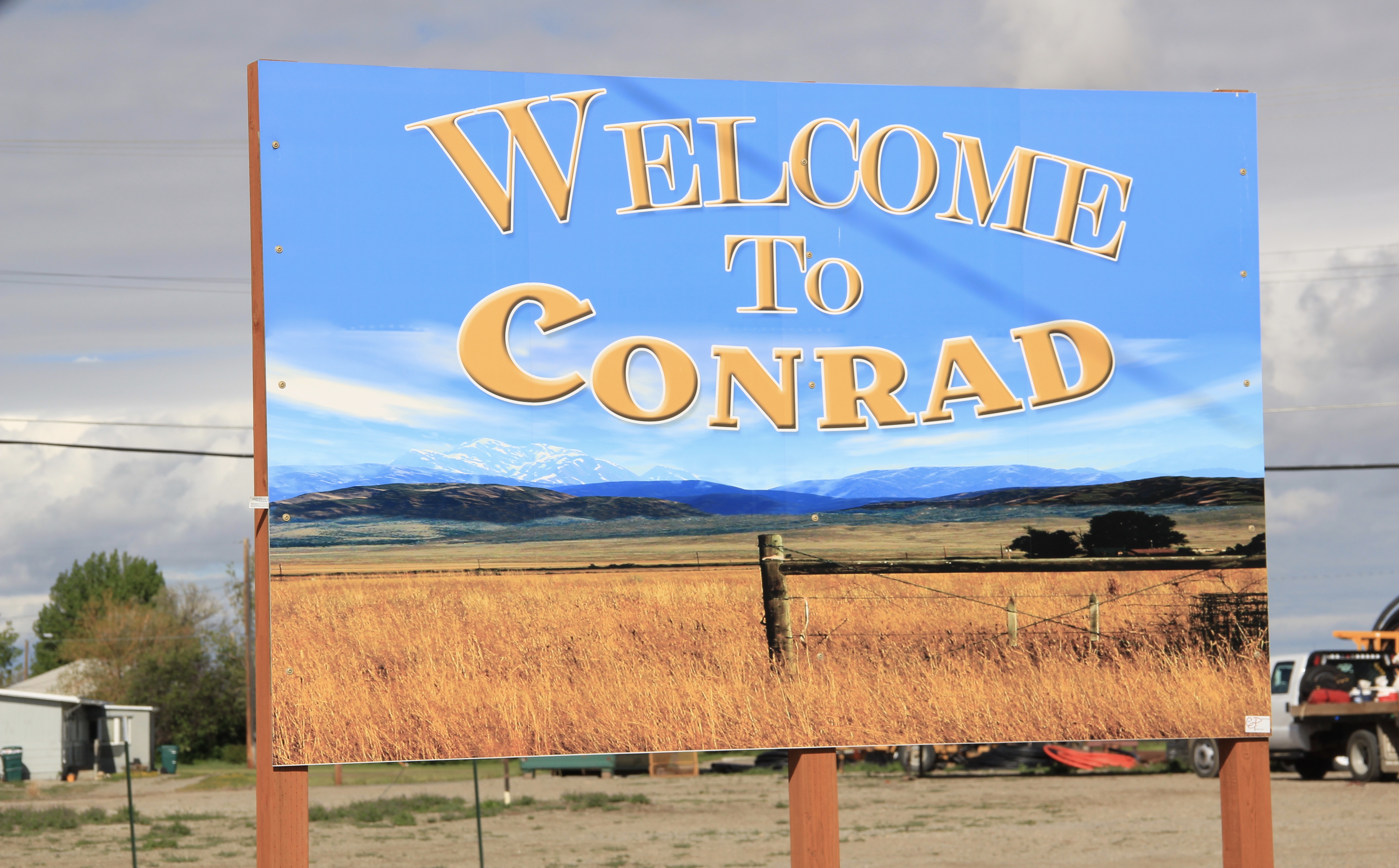 Conrad, the seat of Pondera County, is a railroad town, although the town’s close proximity to Interstate I-15 means that so many have forgotten the importance of this Great Northern Railway spur line that stretches from Shelby on the main line south to Great Falls.
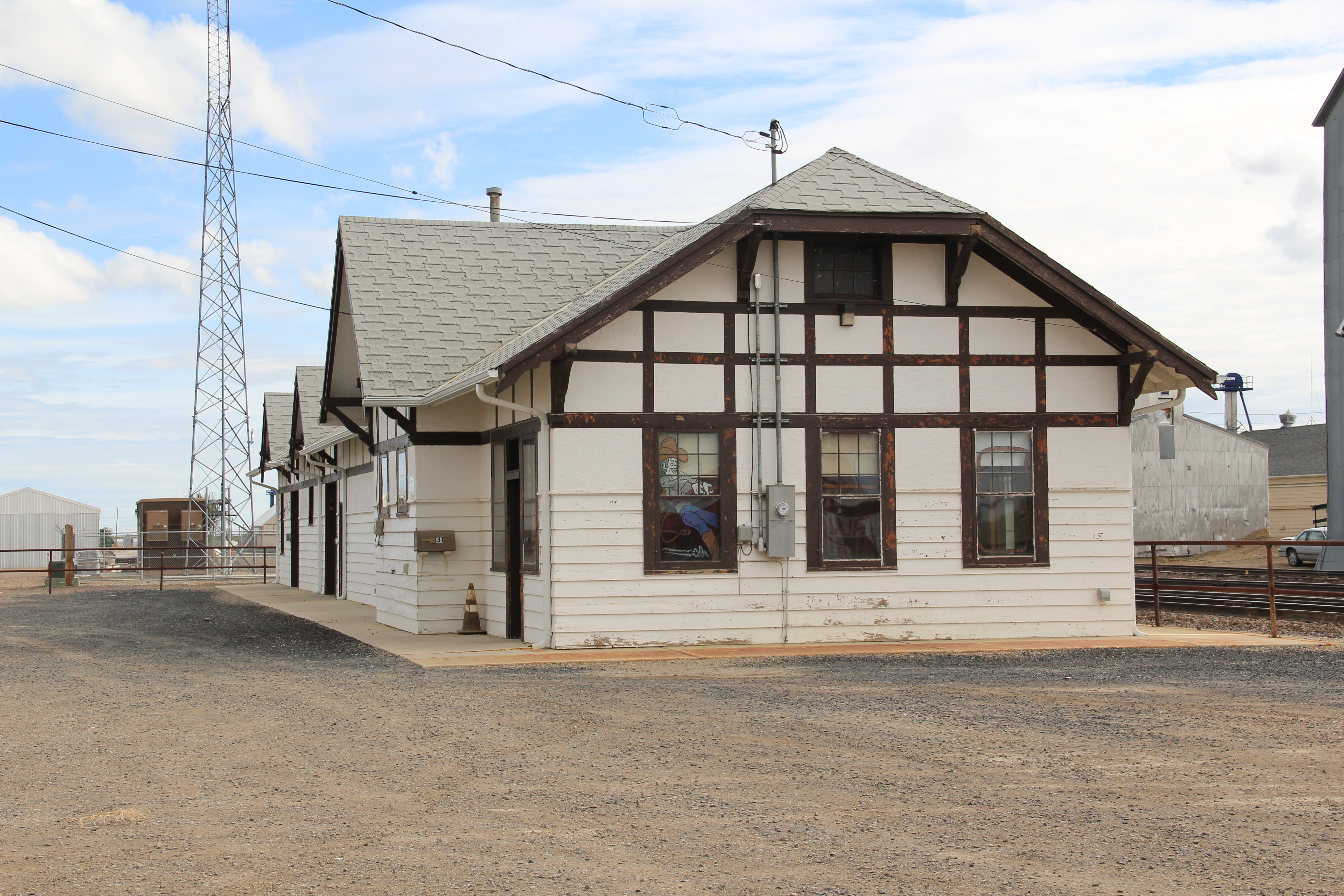
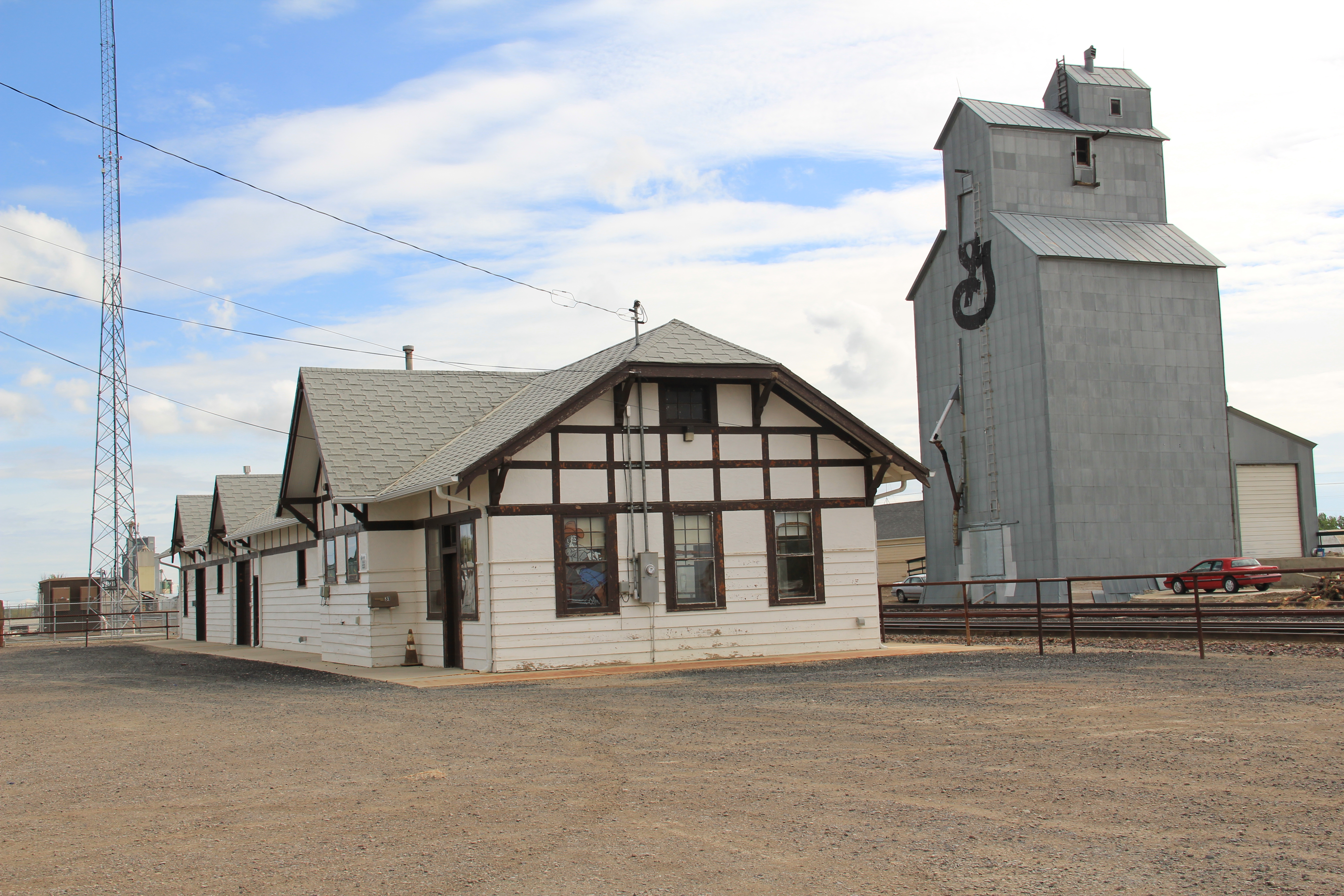 The town’s 1920s Arts and Crafts/ Chalet style Great Northern passenger station, along with grain elevators, serve as a reminder of the railroad’s importance to transporting the grains from neighboring ranches.
 Facing the depot is a combination symmetrical town, with one story brick buildings, several of them classic western bars, and then a block long T-plan that connects to the historic federal highway U.S. 87.