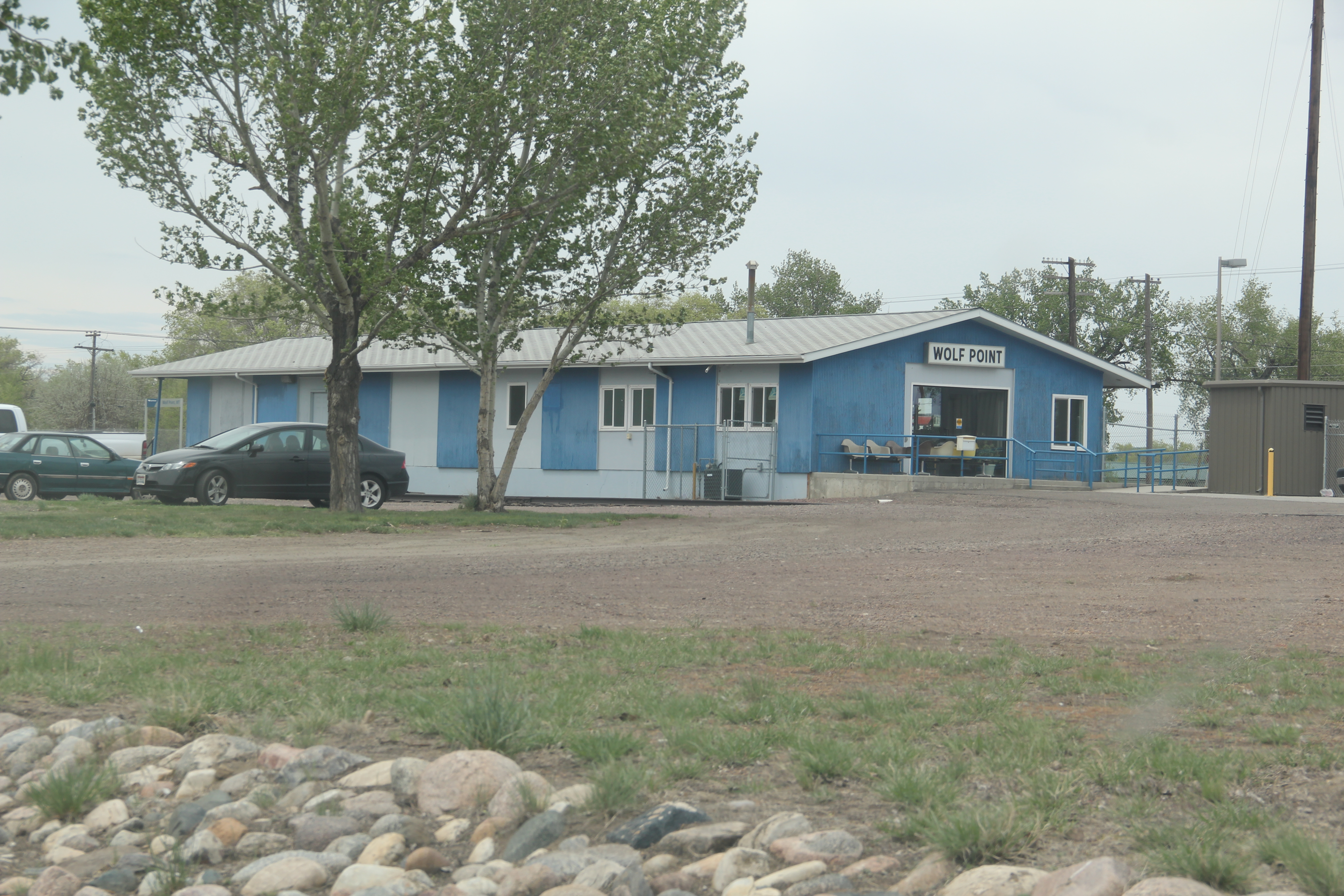
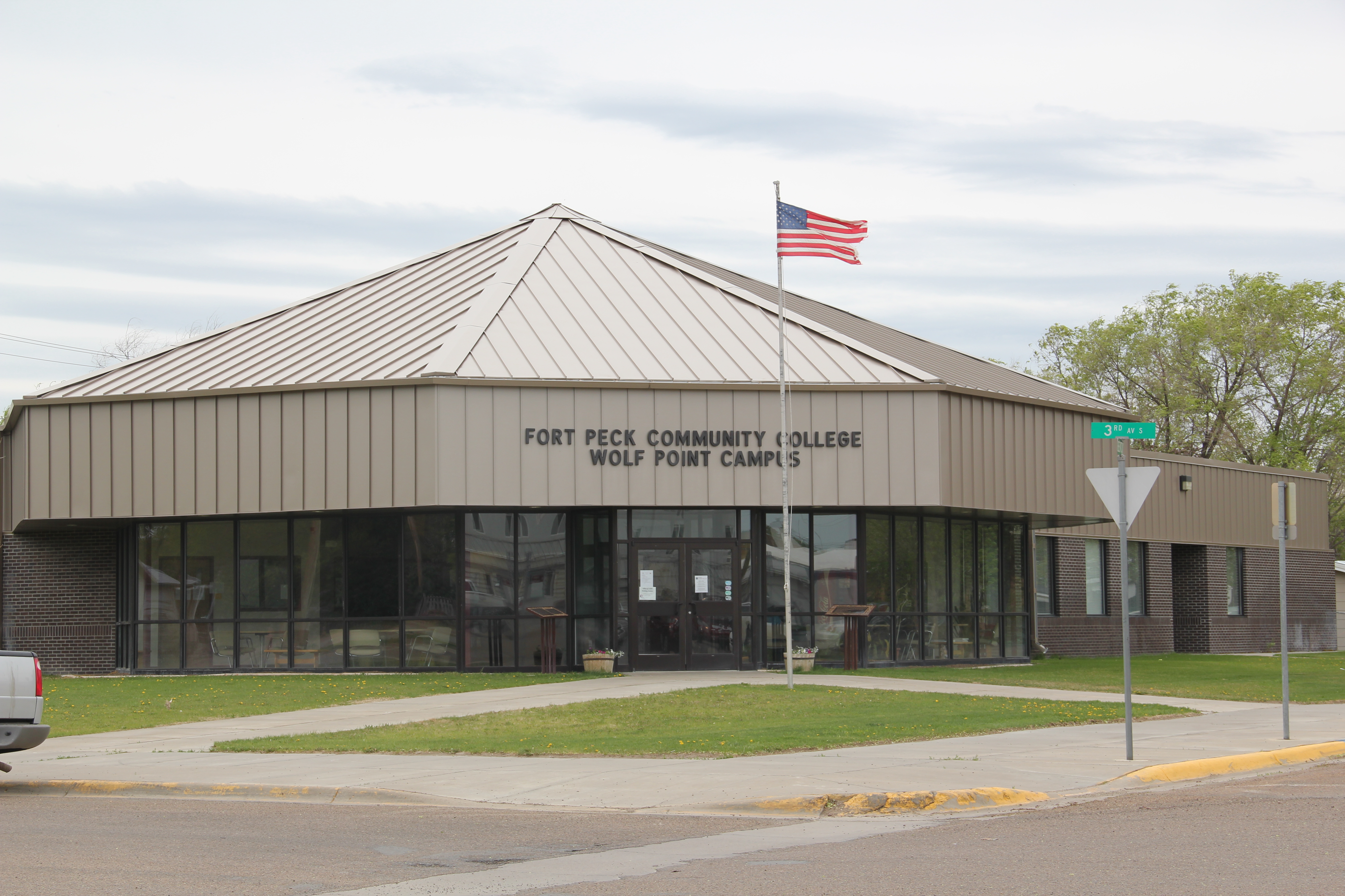
A generation after its first settlement in 1913-1914, over 500 people lived in Flaxville, a Great Northern spur line town in Daniels County. When I visited in 1984, I found a declining railroad town, very common in the region, but I also liked how an old one-story brick bank still served the town’s 142 residents as a post office. Adaptive reuse at its best.
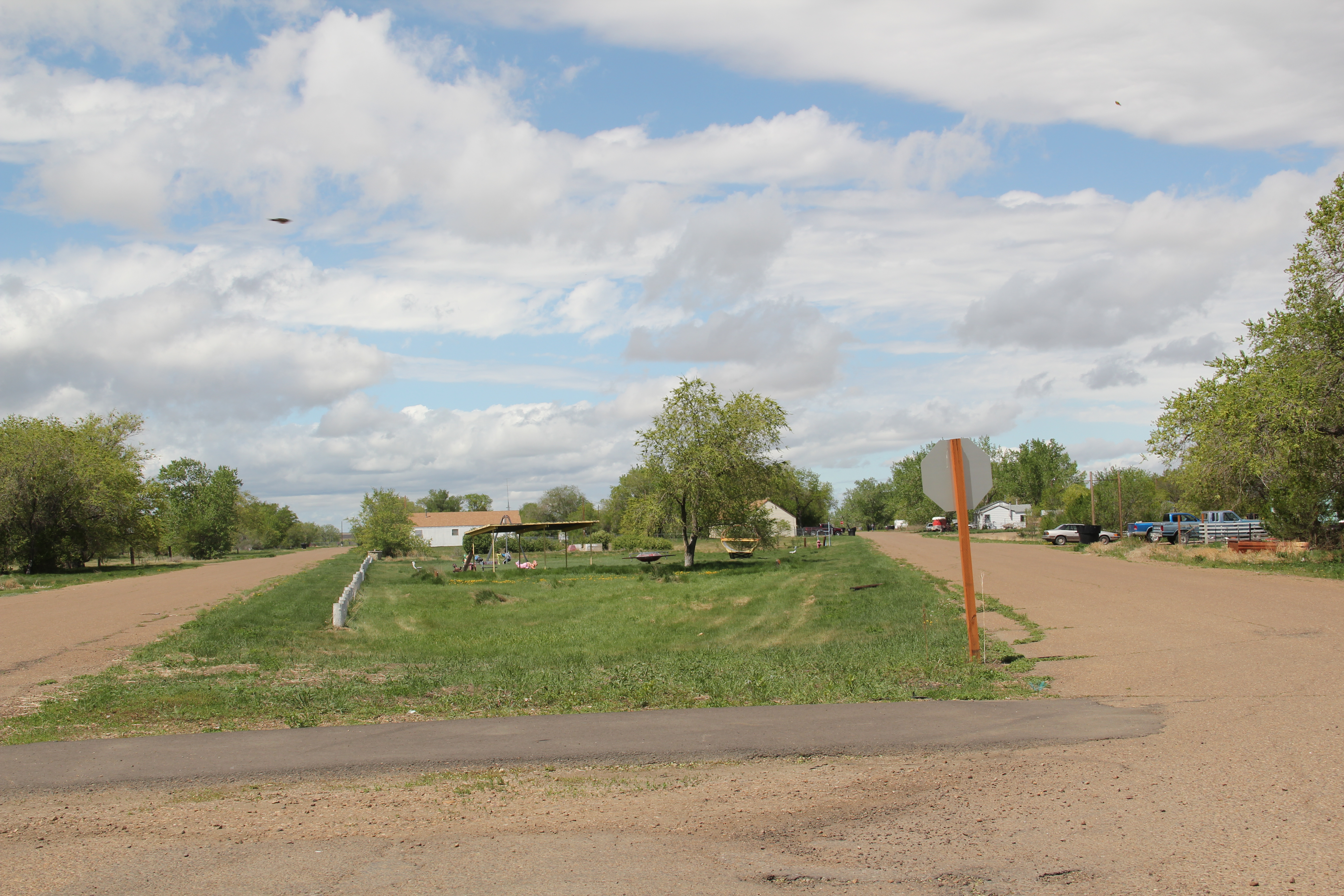
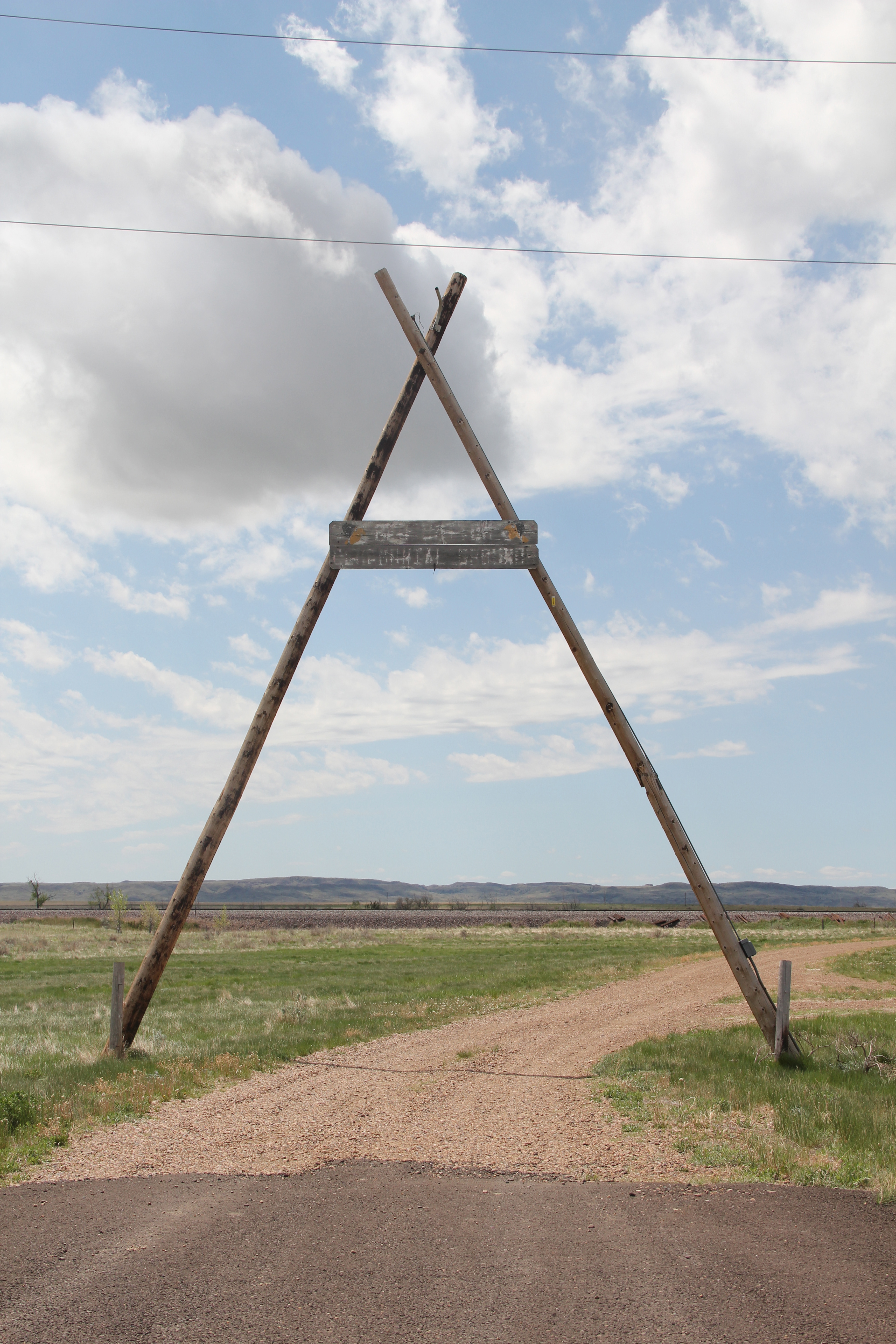
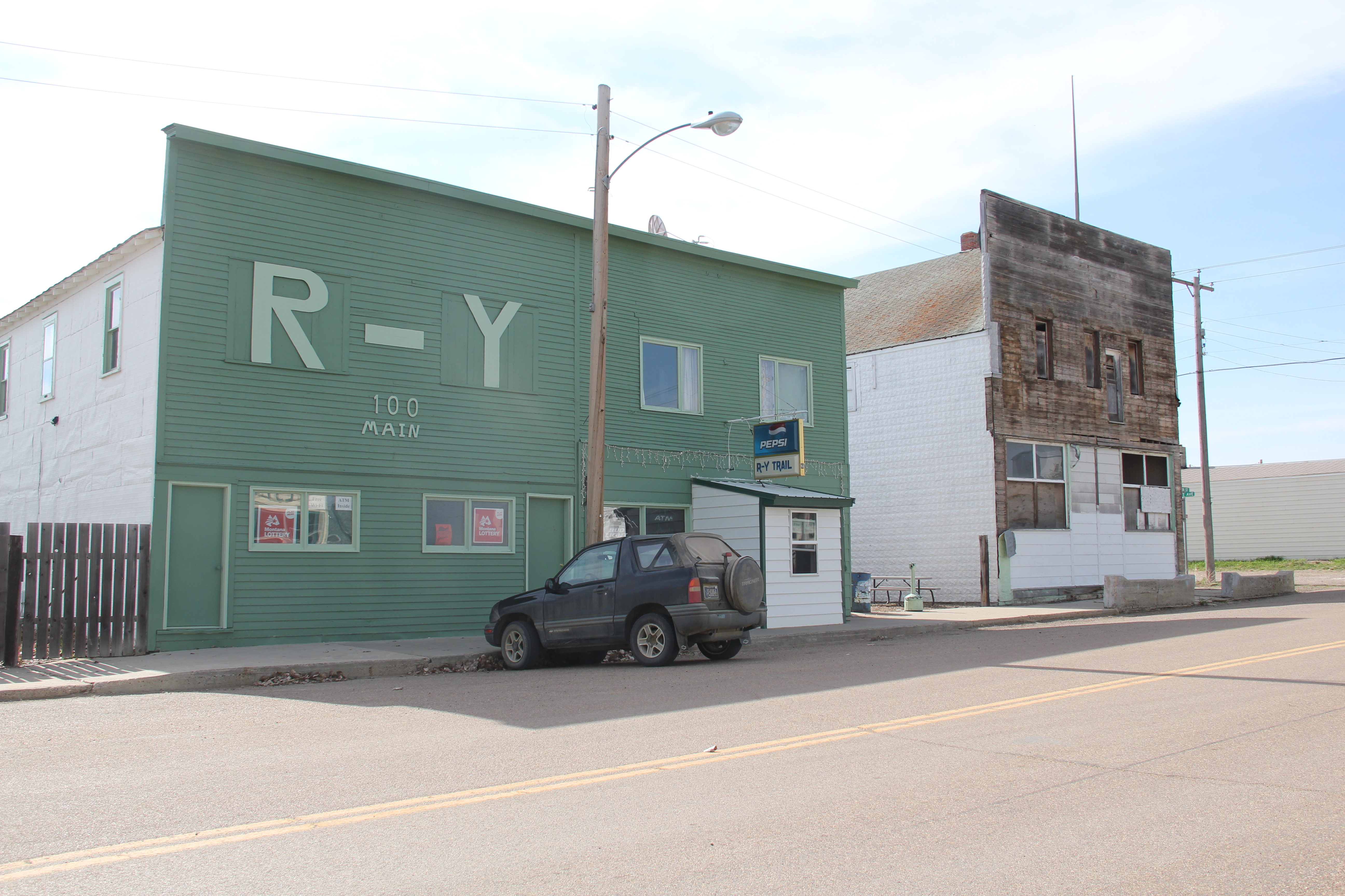
Almost 30 years later the post office remained but one-half of the residents had gone. The census taker in 2010 counted 71 people in Flaxville. Despite the disappearing numbers, Flaxville has many worthy landmarks beyond the historic bank. Let’s start with the R-Y Bar, one of the few reminders in all of Montana of a historic trail that once connected Regina, Saskatchewan, to Miles City, far to the south.
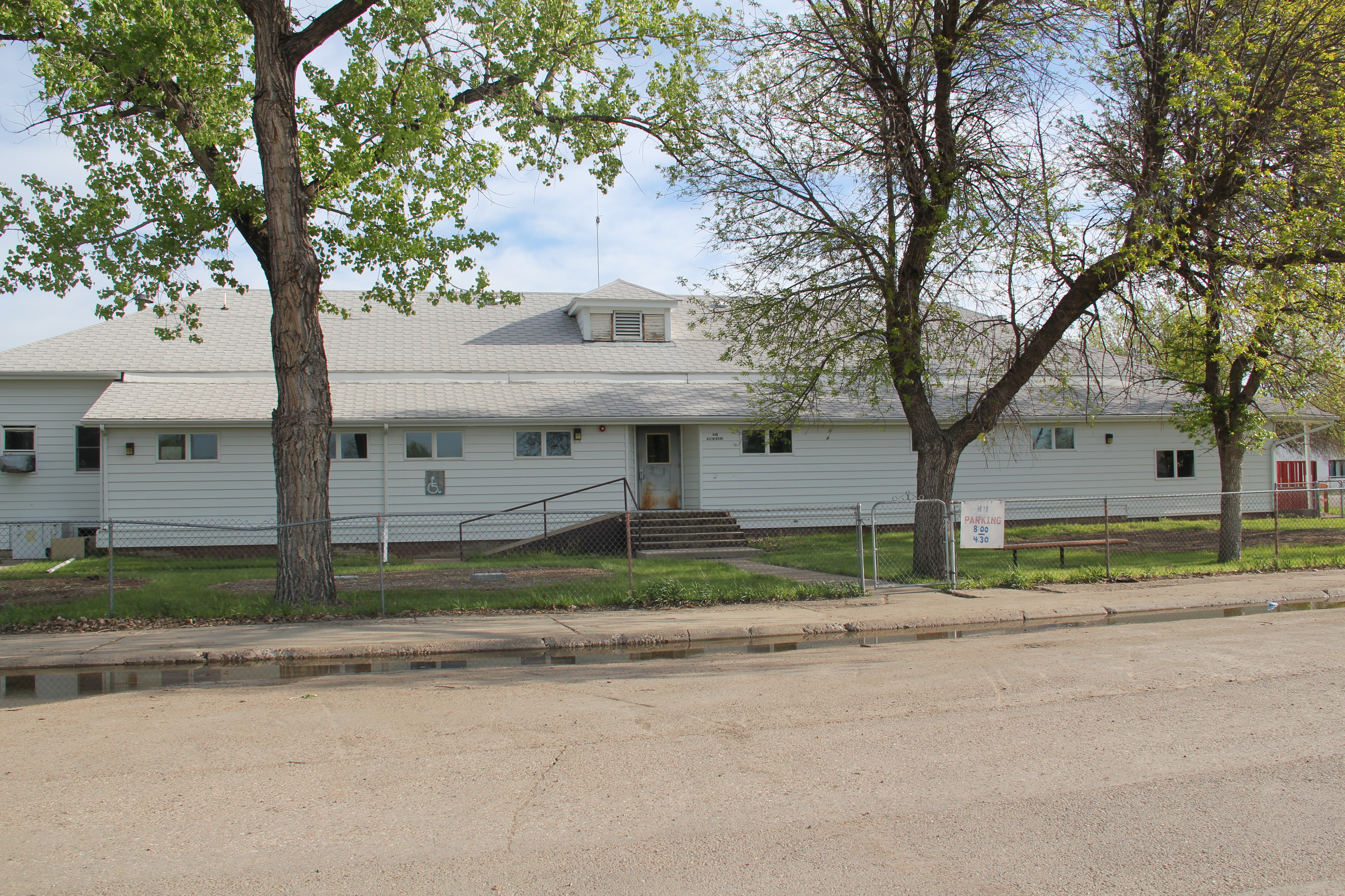
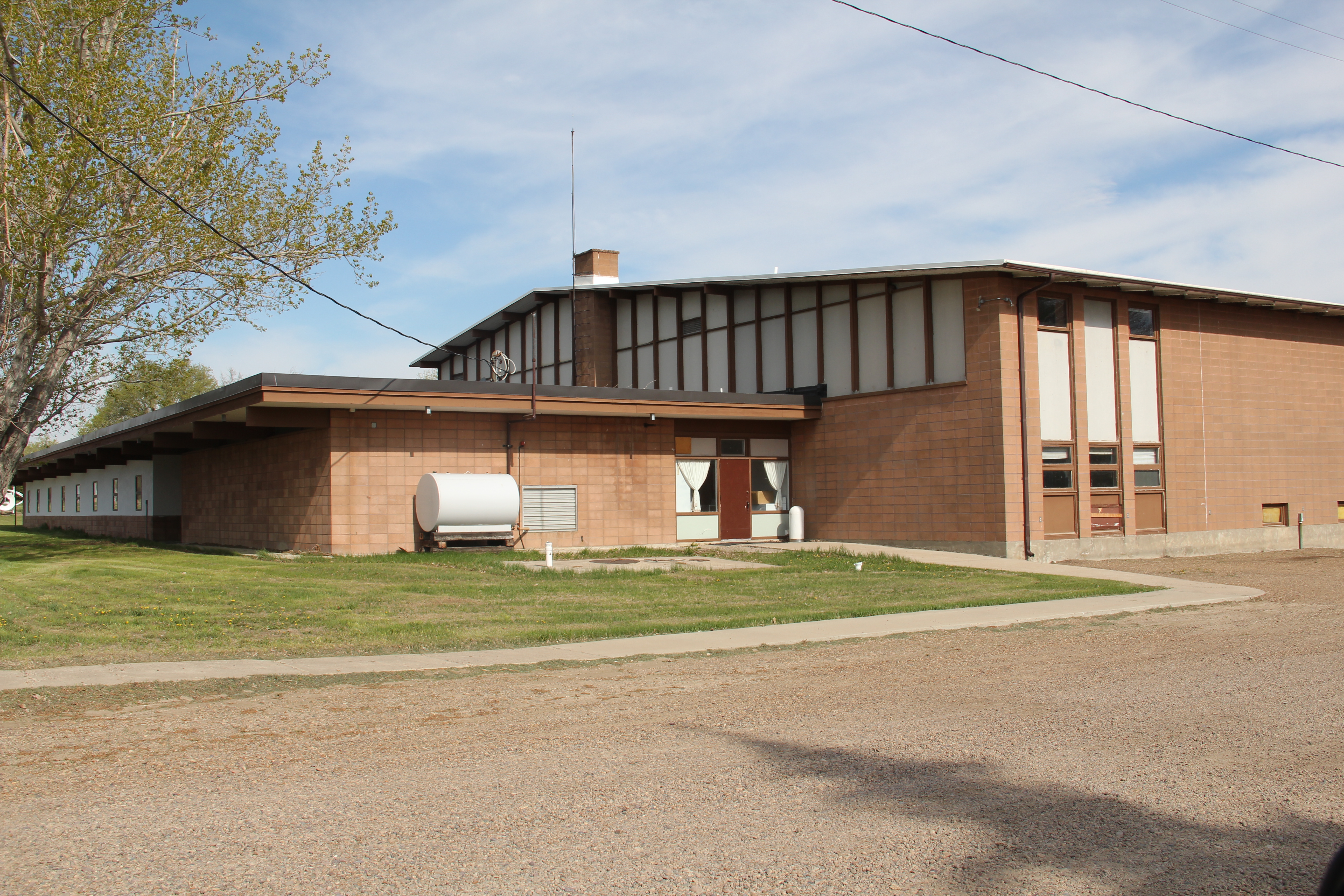
Then there is the Flaxville school, actually a marvel of contemporary design that you would never expect to find in such an out-of-the-way place. Once again we find Montana modernism is not just in the cities.
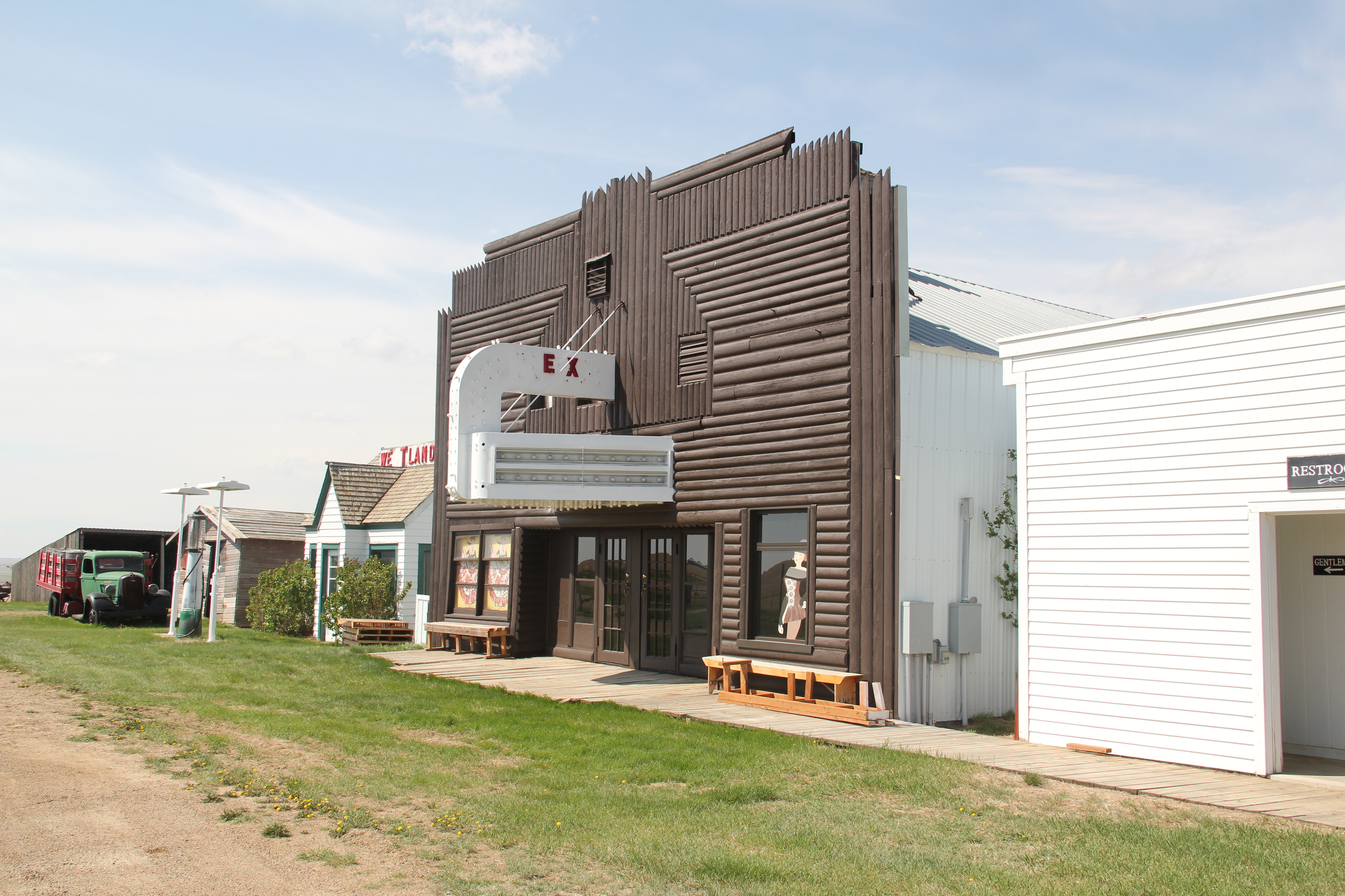
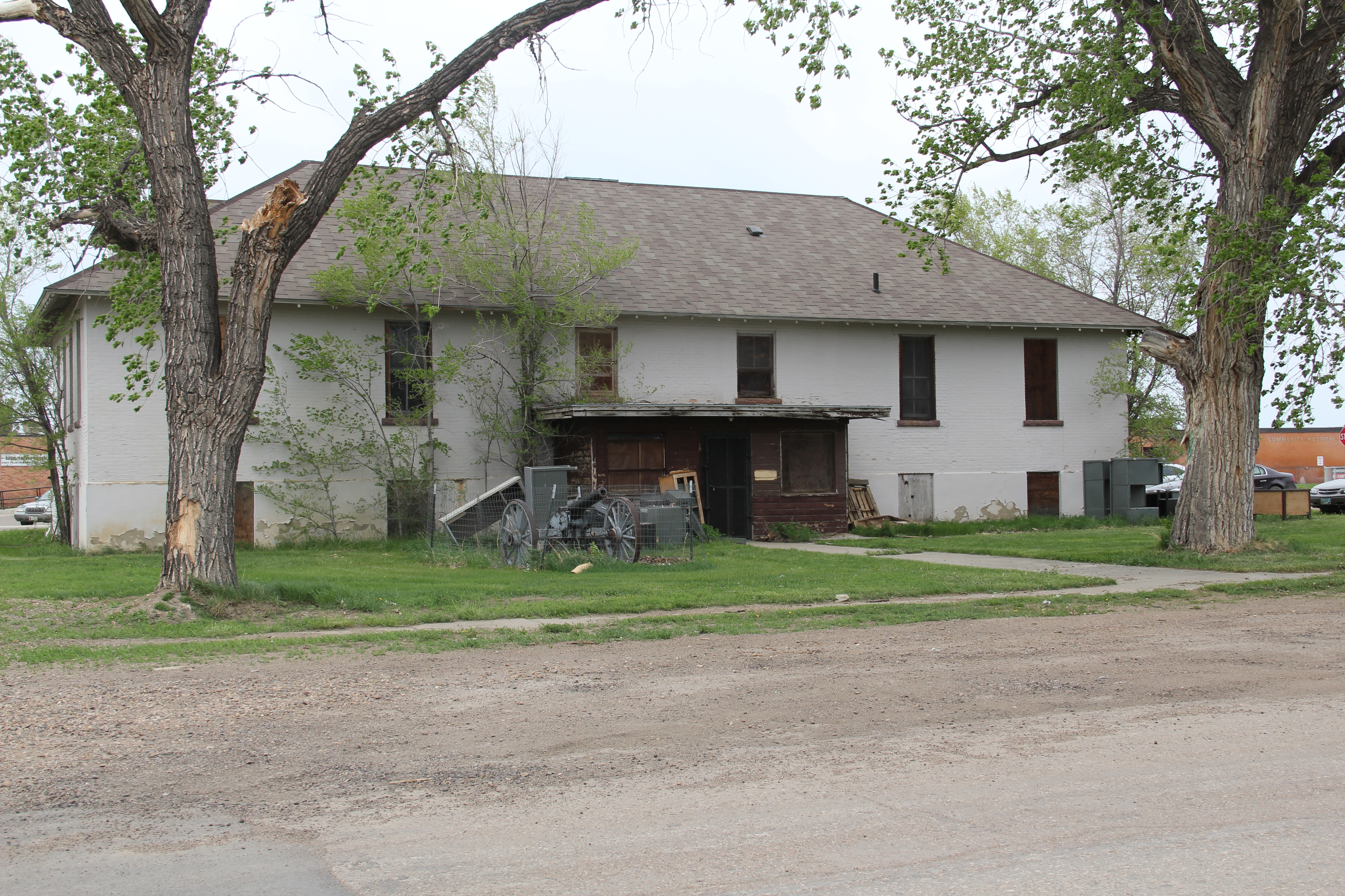
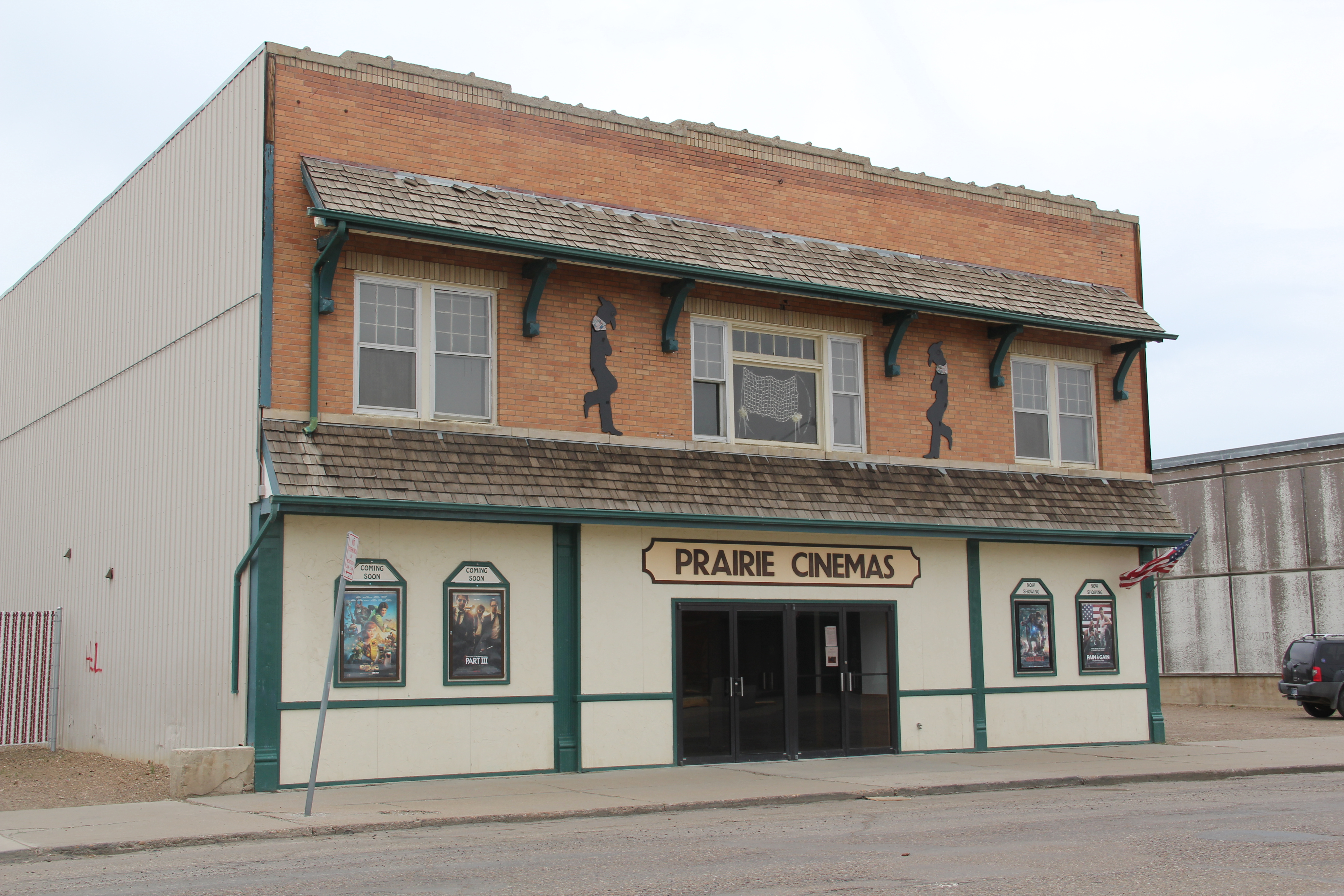
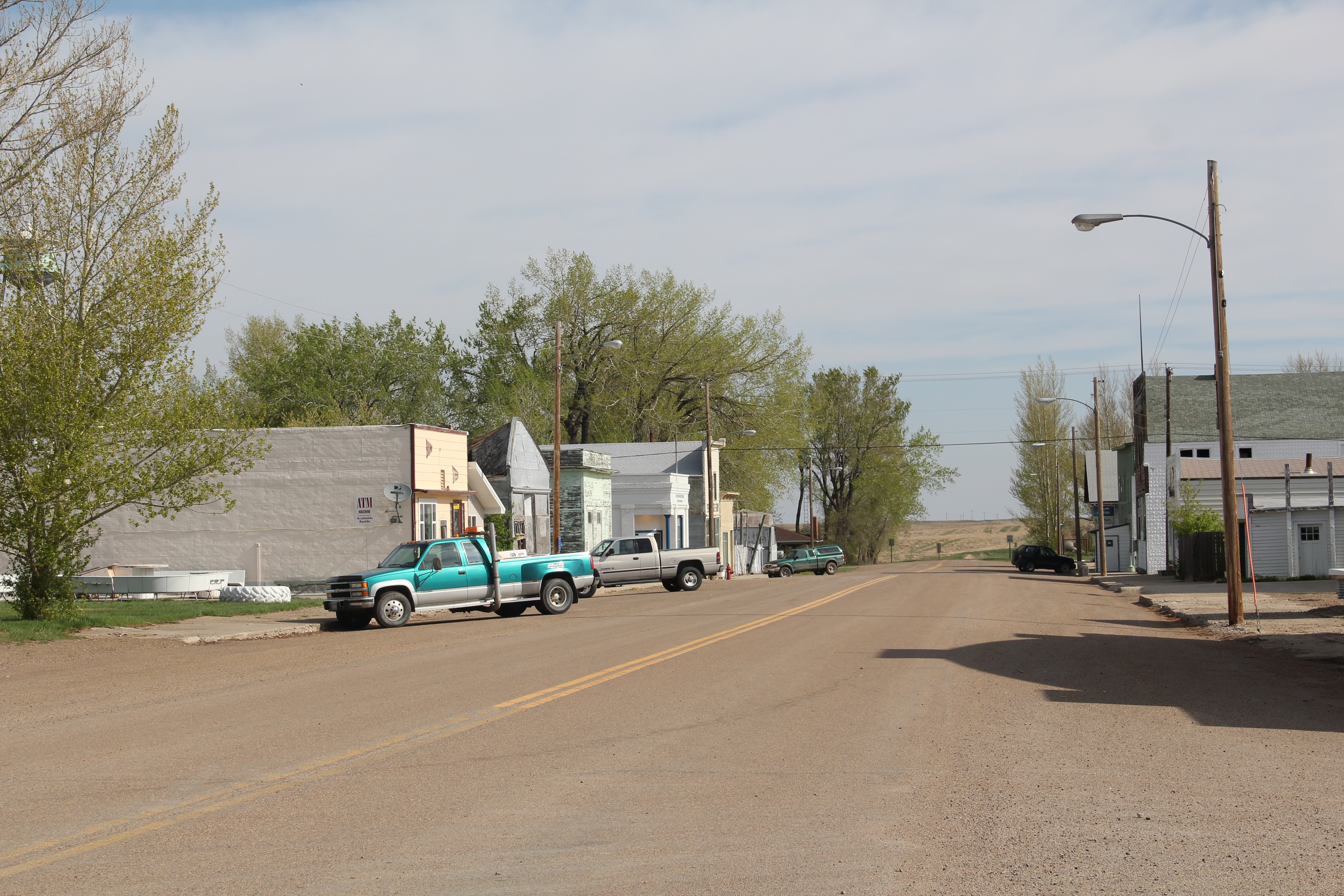
The Barn, once a movie theater now a community theater and center, is a true rarity–a vernacular design for a popular culture purpose that seems almost crazily out of place. Its size speaks to time when whole towns gathered in one place for the movies. Its empty marquee today records a much more unpleasant truth: the
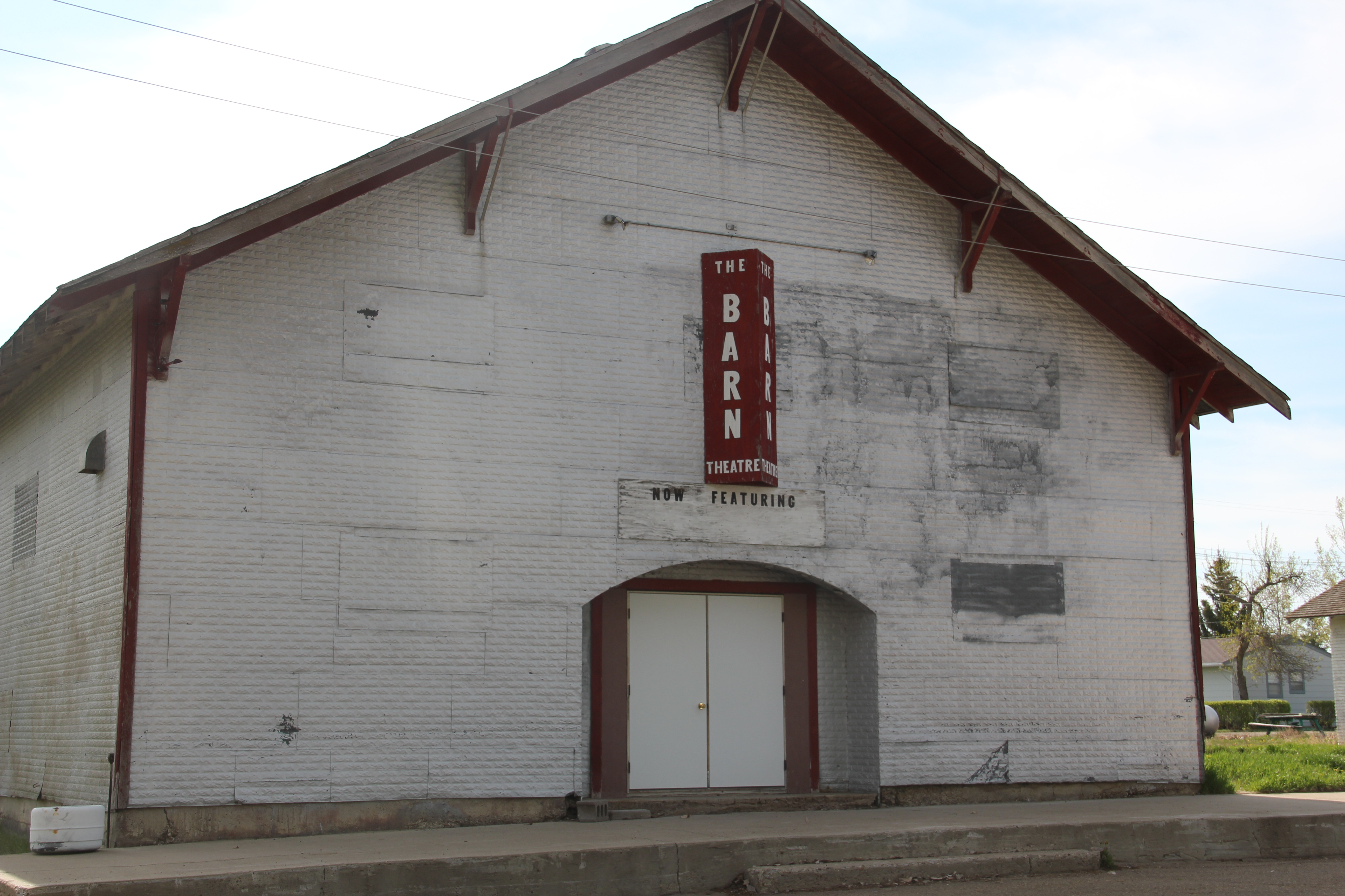
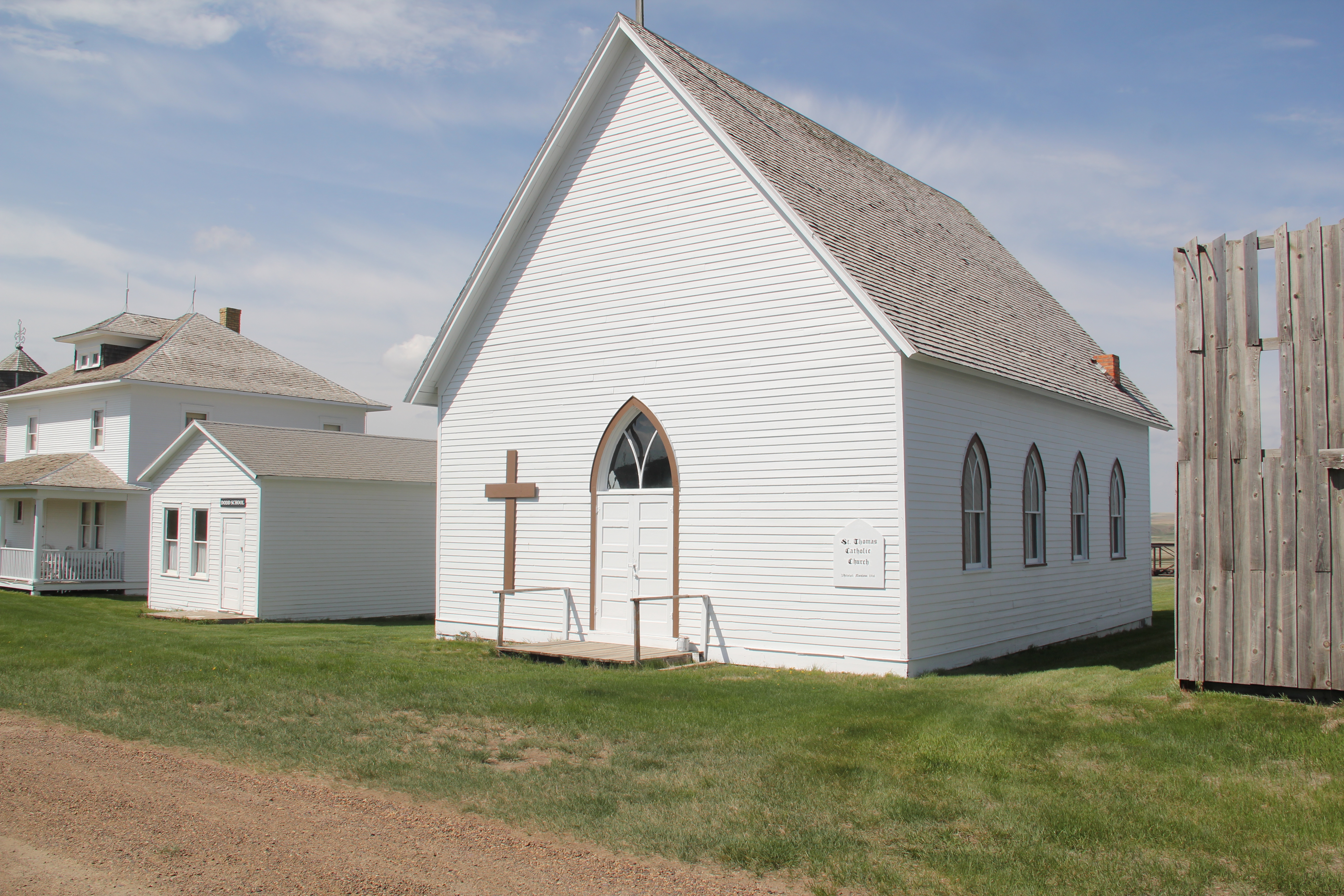
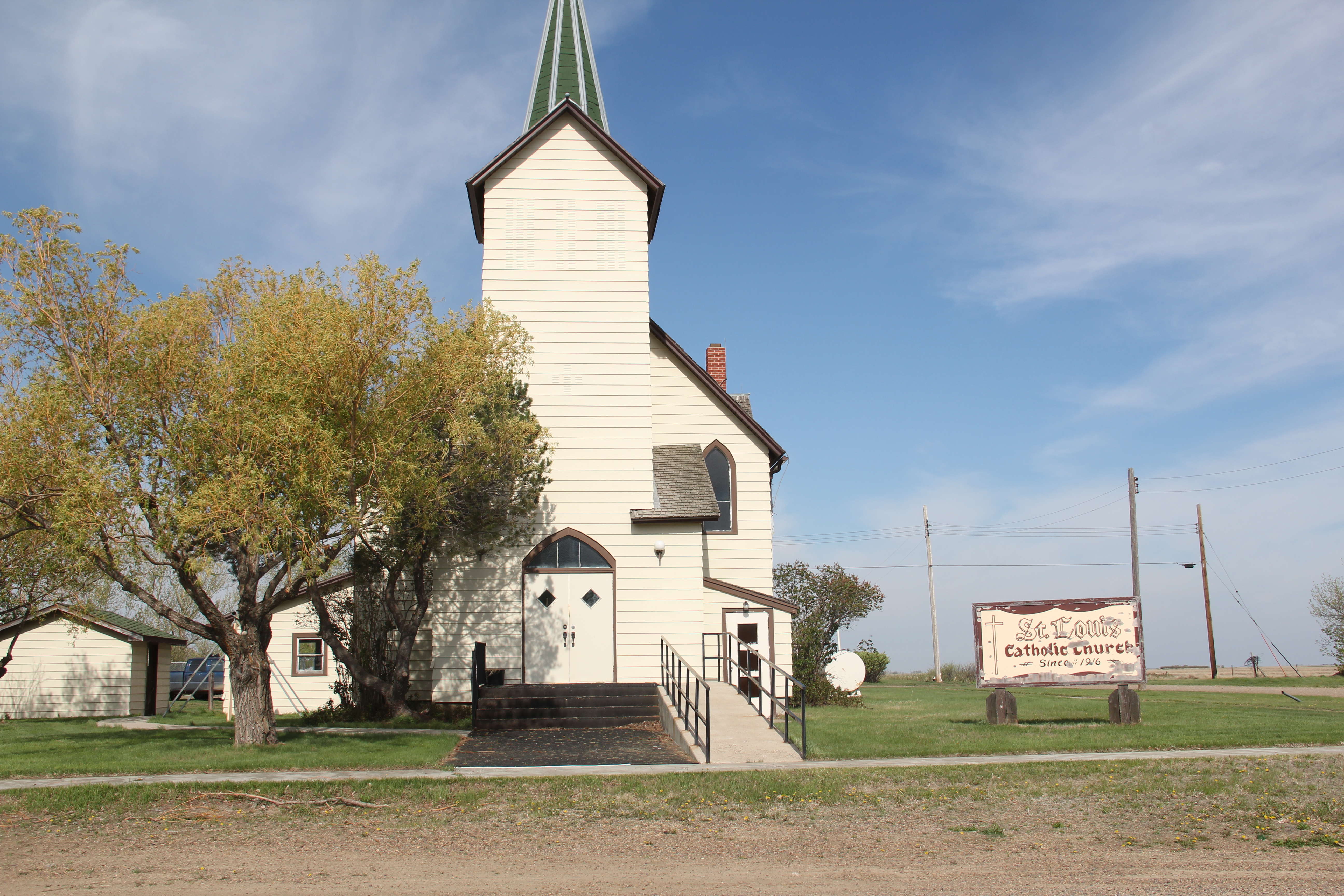
reality of what happens when everyone begins to leave: the lights do go out. Yet the remaining local Catholic and Lutheran churches also speak loudly, to the quiet determination of those who remain here in Daniels County.
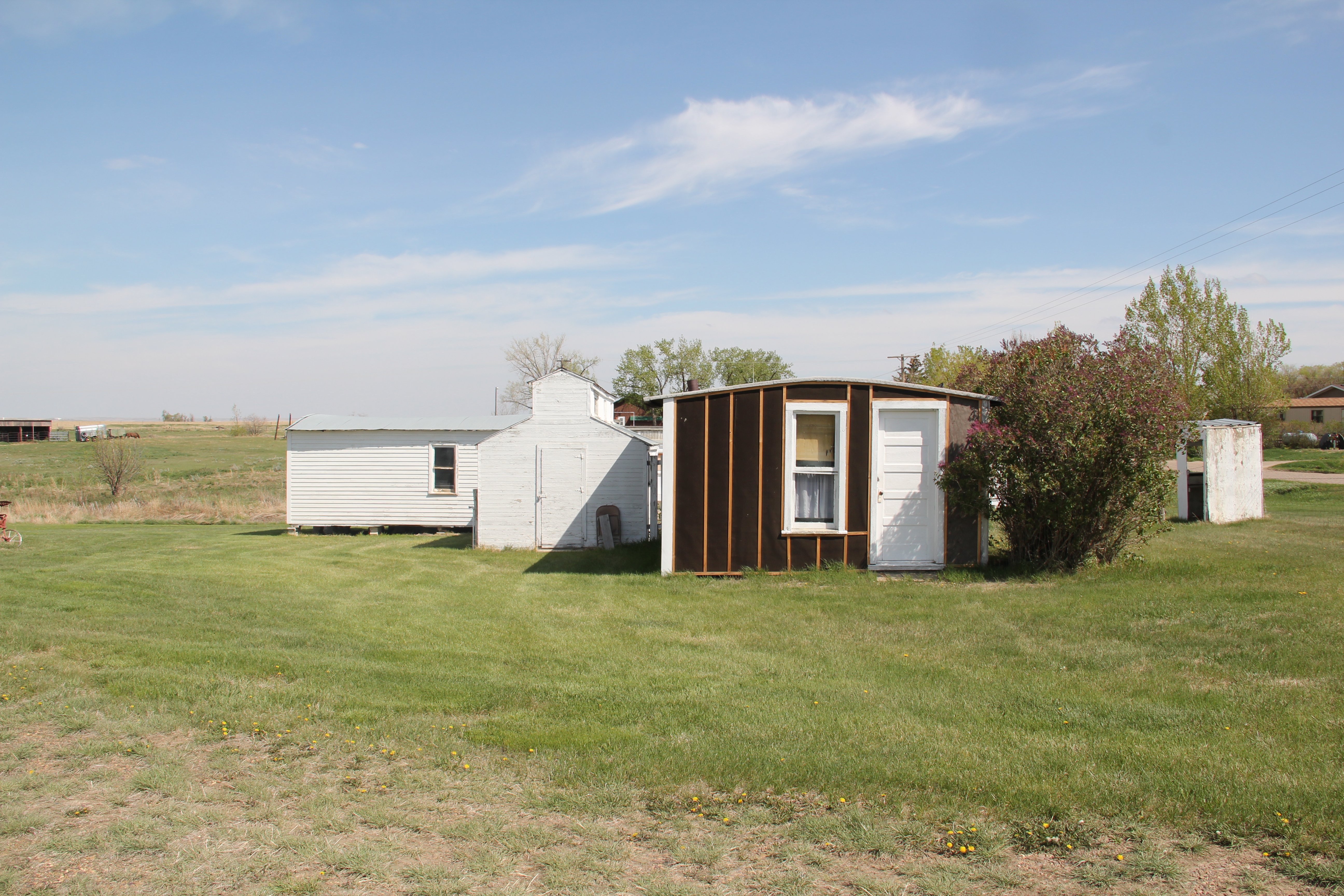
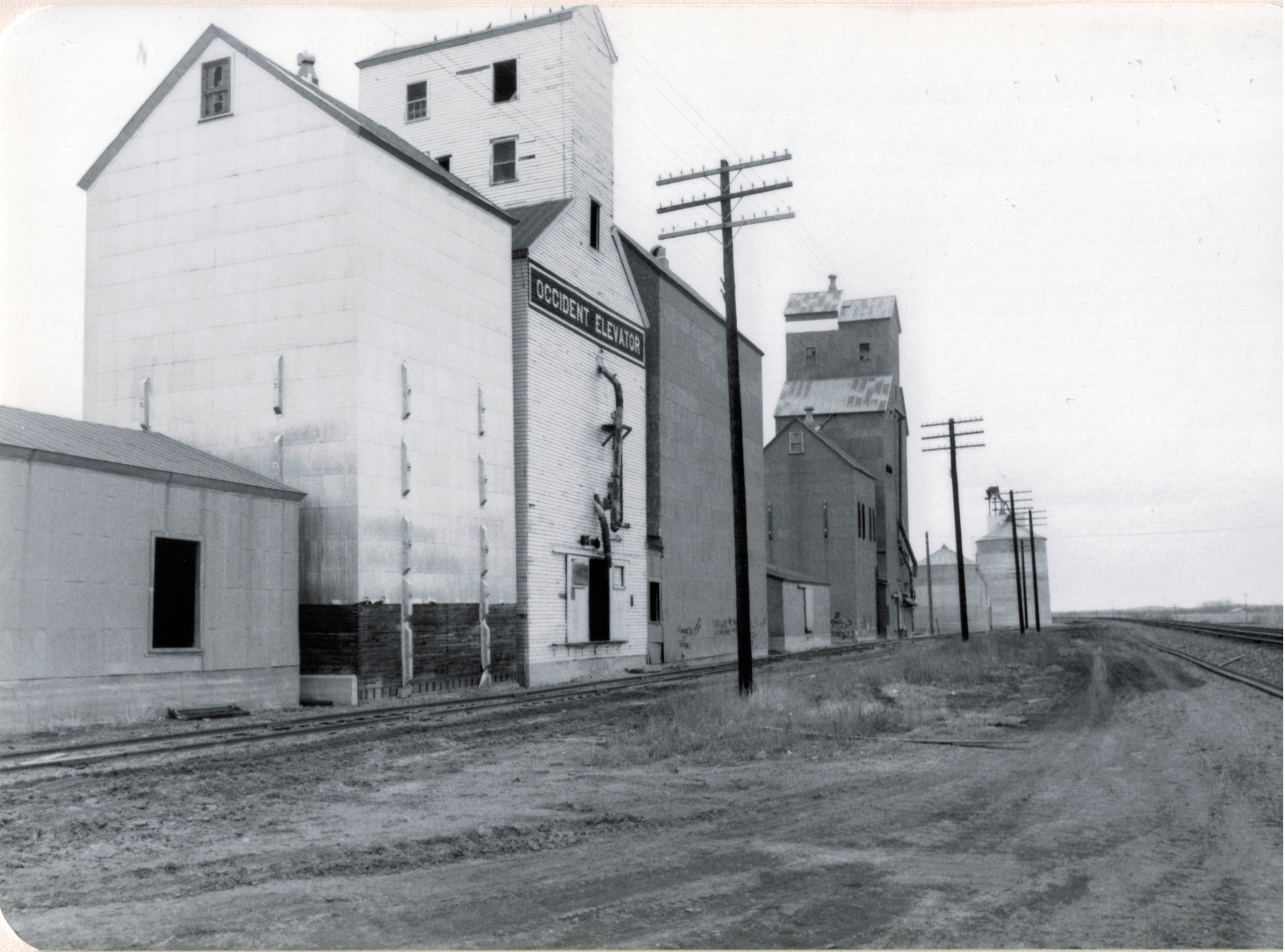
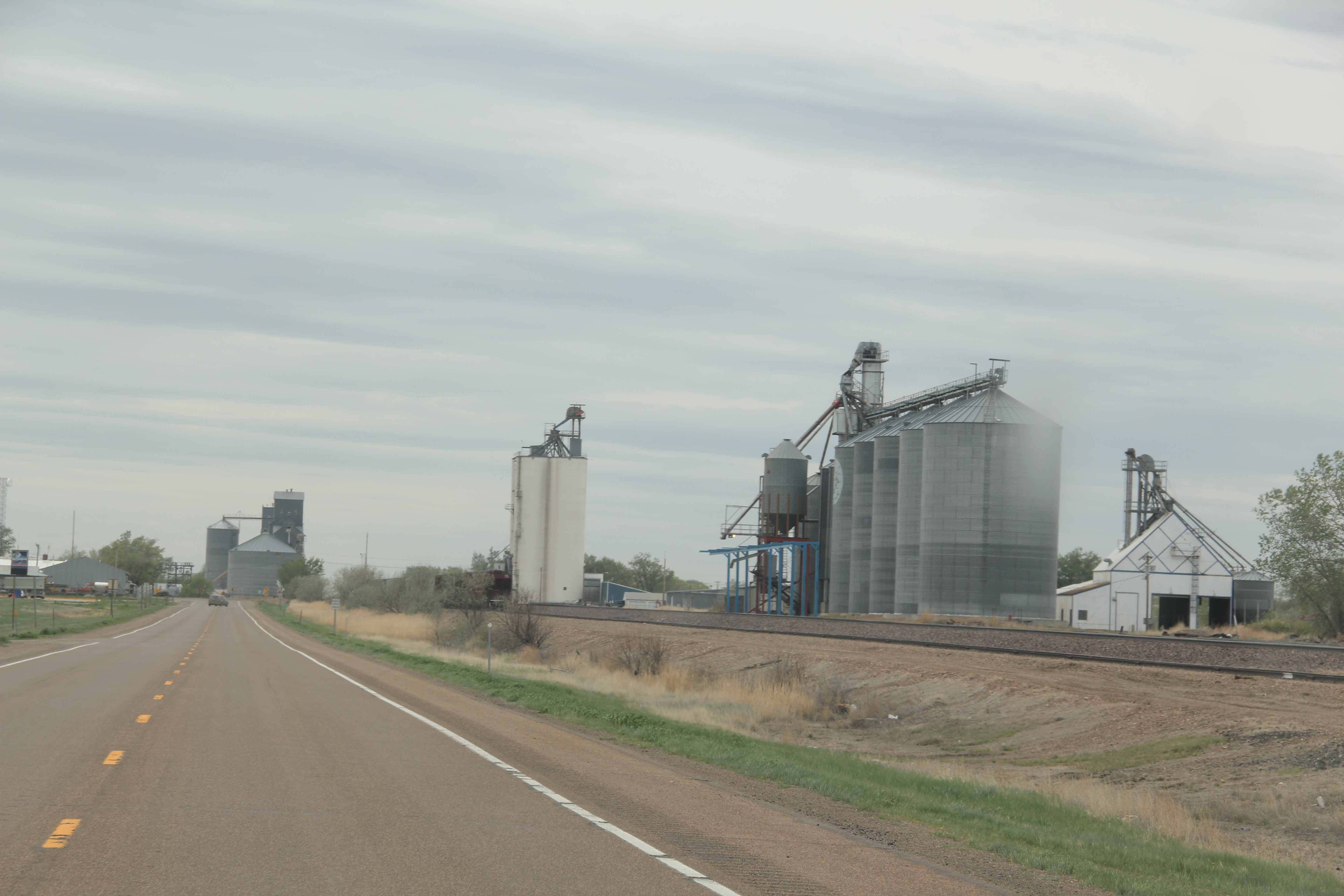
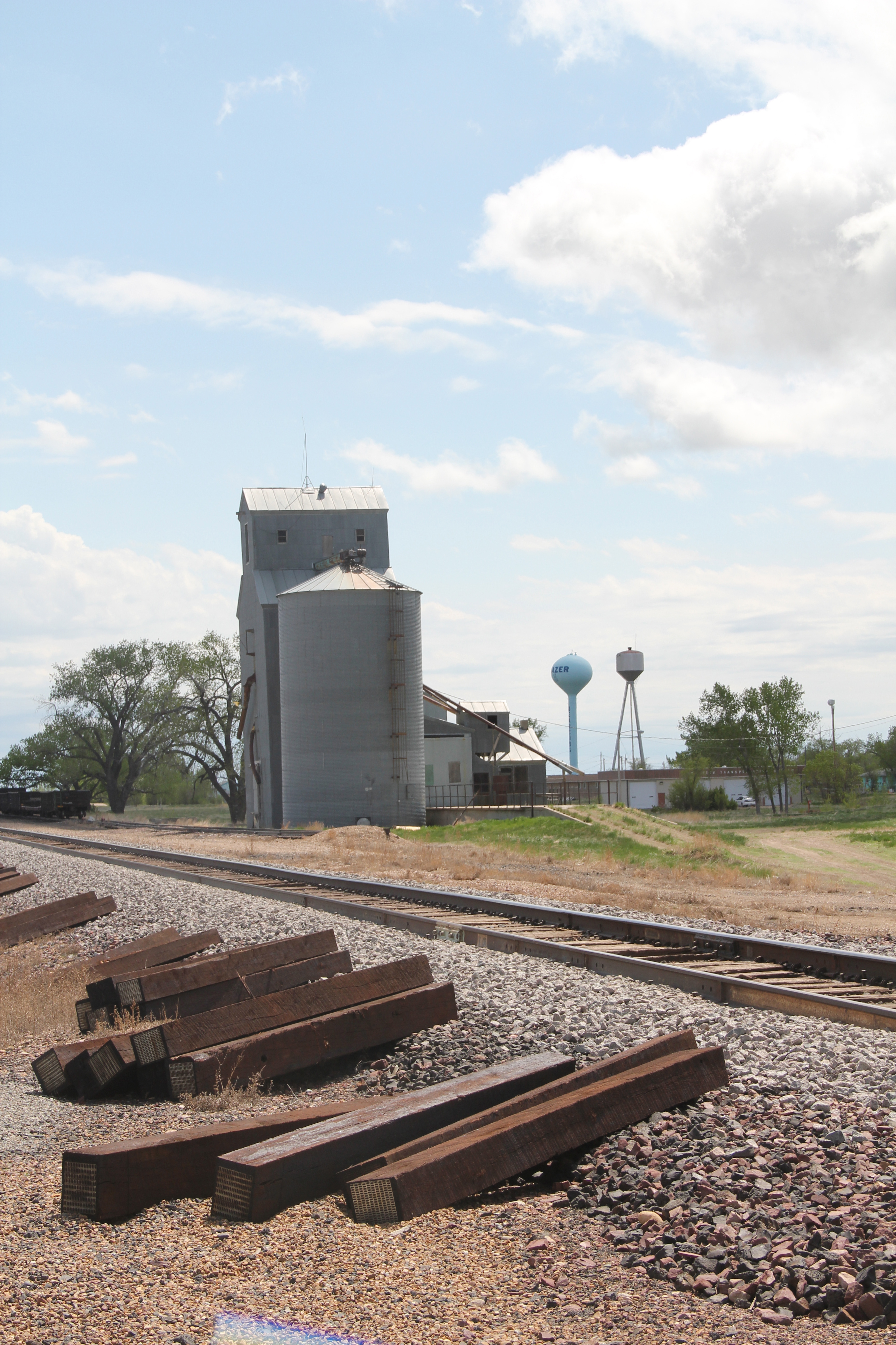
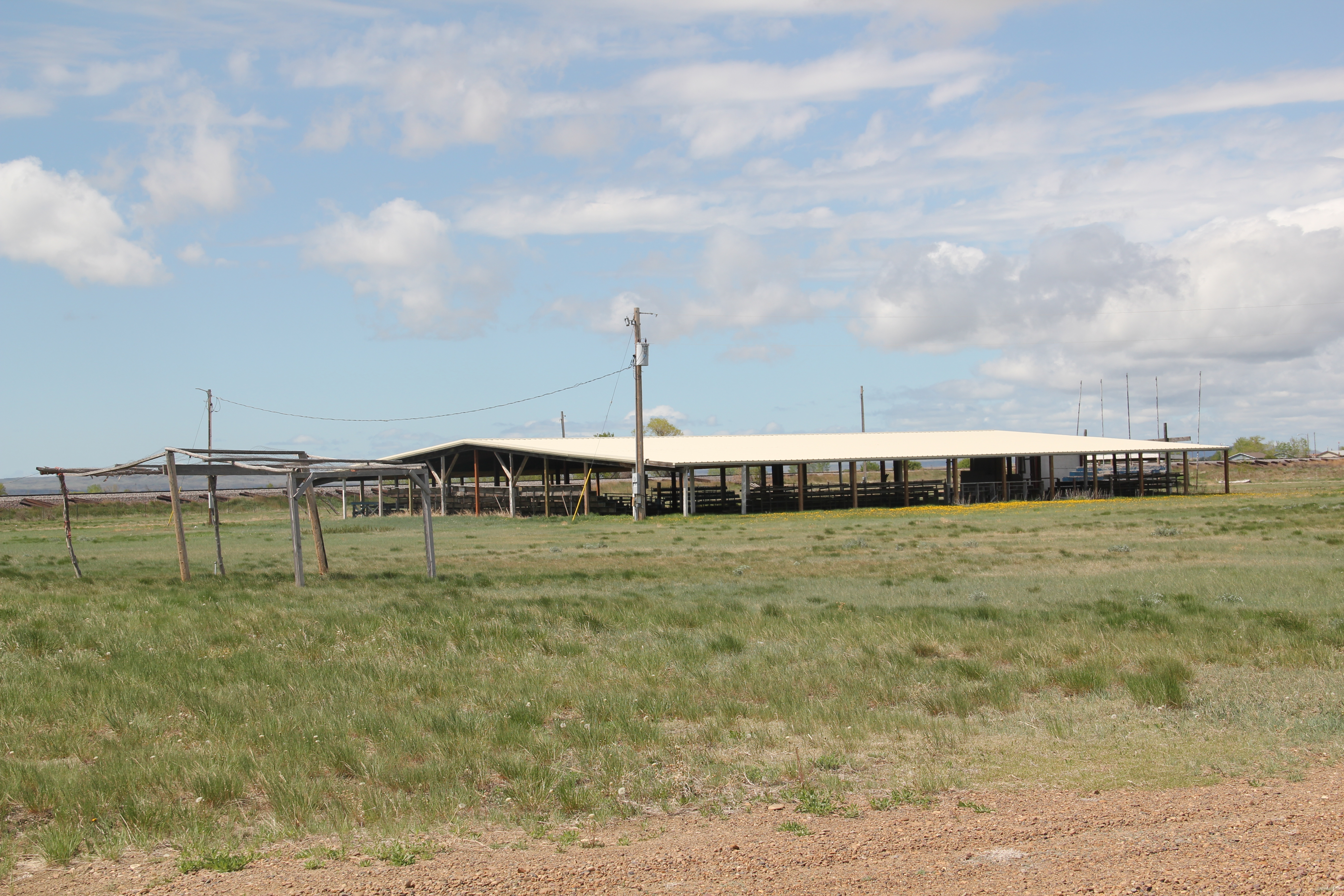
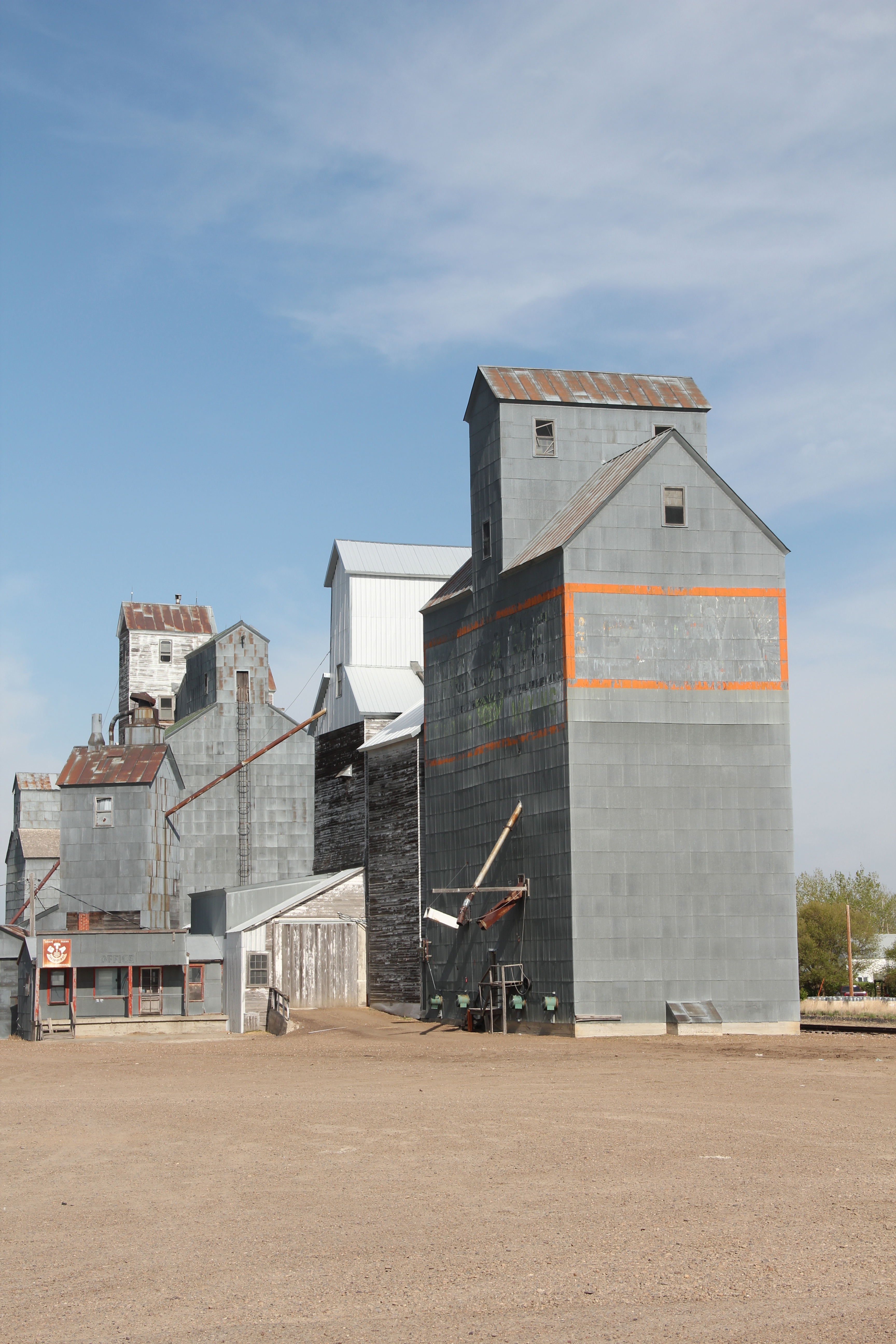
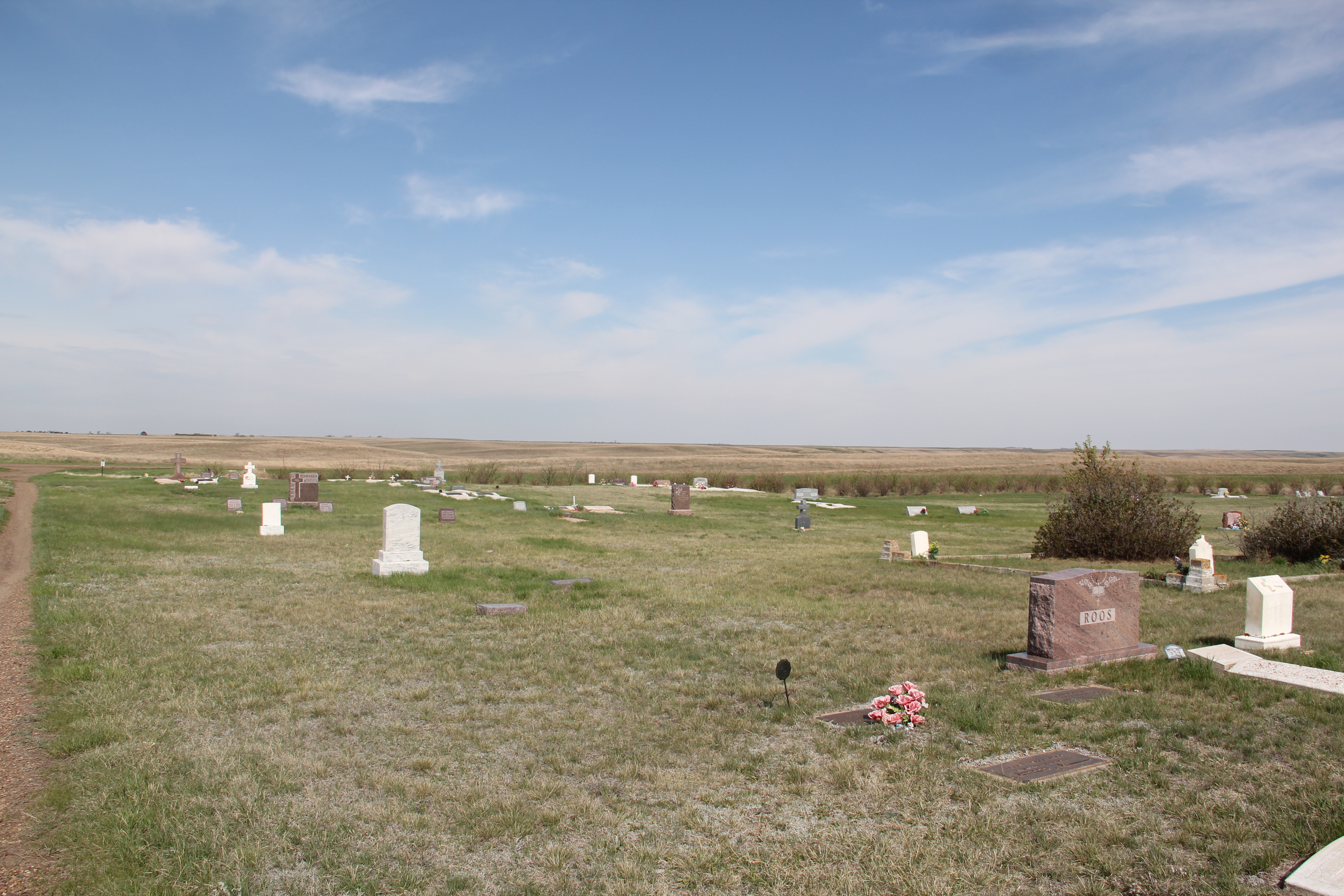
Naturally the grain elevators remain as sentinels overlooking Flaxville but few other commercial enterprises are open. The starkness of the town’s cemetery records both the past and future of this tiny place in Montana’s northern plains.
Monthly Archives: August 2014
Building Zoos on the Northern Plains
Building zoos are among the most interesting parts of the western historical landscape. At an isolated outpost on the northern plains like Scobey, Montana, these deliberate creations of history, identity, and memory tell residents, much more so than tourists (who come by in dwindling numbers), that once there were people, vitality, and interest here, and what happened in the past could happen again in the future.
They also are demonstrations of the challenges of early days when tiny homestead shacks were home, and families stood in stark contrast to the seemingly endless flat prairie. As such building zoos are also marks of achievement, that the settlements of today show that the pioneers’ sacrifice was not in vein.
The Daniels County Museum in Scobey is one of my favorite building zoos due to its fascinating array of buildings plus the obvious care that the facility has received over the decades. When I encountered it in 1984 frankly I was amazed. Here were large buildings moved to a spot in the middle of nowhere. They did “they” hope to achieve? Of course “they” were what they were doing–and they told their story with the same verve shown by the original owners of the Rex Theater, a false front in log rustic style for a land that had so few trees.
Then were were the multiple churches marking a diversity of faiths from St. Michaels Ukranian Greek Orthodox Church, St. Thomas Catholic Church, and the more stylish in an Arts and Crafts way All Saints Episcopal Church. All were from the second decade of the 20th century when the homesteading boom across Daniels County was at its height.
A building zoo is not really a building zoo unless it has moved mercantile buildings, which, in turn, are full of artifacts of the past. The Daniels County Museum has excellent examples of the early 20th century commercial aesthetic of the northern plains–a look not different than that of any western instant town of the era between the Civil War and World War I.
When I visited this place in 1984 the museum proper was in an old quonset hunt, and it was more of a community attic than anything else.
But in the 21st century, the community has invested in a new museum/community hall where new exhibits were being installed as I visited. The Daniels County Museum is one of the region’s most compelling heritage institutions, and despite the population decline in this corner of Montana, the museum volunteers look forward into the future.
The high plains of Daniels County, Montana
The high plains of Daniels County are among the most isolated places in all of Montana. You may reach this place by heading straight north out of Wolf Point on a state road or you can come from the east on another paved road. Gravel roads are available as well. Federal highways have never touched this place; railroads came, above is the Soo Line Corridor at Whitetail. They arrived from the east and dead-ended here on the prairie.
Yet the isolation, the vernacular buildings, the fact that nothing is overtly special here actually makes it a special place. I liked it in 1984, when I made this image of the courthouse in Scobey–certain it would not be there for long.
I liked it enough to return in 1988, and couldn’t wait to explore some more in 2013. In this blog, I have already spoken of the some of the remaining rural schools; the fairgrounds; the Soo Line railroad corridor; and, the survival of the Daniels County Courthouse, an old homesteader hotel that was once a bordello and still is used today by the citizens of Daniels County. As we take this detour from U.S. Highway 2 far to the south–the Canadian border is much closer to the north–here’s to Daniels County–the residents’ persistence, sense of community, and dogged determination means there is much to commend here.
The courthouse proudly displays its National Register of Historic Places marker, although officials admitted that they do not get many “faraway” tourists (I found out Canadians naturally were not faraway-but someone from Tennessee, yes indeed).Dropped ceilings may be about but the courtroom retains its turn of the 20th century feel. The place was in great shape, considering the fact it was never built to be a public building, and its condition speaks to the pride residents have in this old false-front frame building.
Another favorite haunt was the Scobey school, perhaps, next to the Catholic Church, the most architectural stylish building in the county. Keeping the Scobey in good shape and open is crucial to a town and county that has steadily lost population over the last 50 years. The population had dropped over 300 since the 1980s, and now is just over 1,000 residents.
The Daniels County Cemetery, just outside of town, tells part of the story of those who came and are no longer here. But in the next post I will look in depth at the place that tells that story of change best–the quite wonderful Daniels County Museum, building zoo without rival in northern Montana.
Fort Peck Indian Reservation, Poplar, Montana
If you arrived in Poplar, Montana, via train, as tens of thousands did 100 years ago, you saw little that made this place seem different than dozens of other northern plains towns. Grain elevators dominated the skyline; almost as imposing were multi-story hotels–not luxury lodgings but a place to literally land for newly arrived homesteaders or “drummers,” salesmen traveling the line trying to drum up business for industries located in faraway metropolitan centers.

Gateway Hotel, Poplar MT

Poplar Hotel, Poplar MT
But if you move north away from the tracks and toward the modern-day U.S. Highway 2, a different, distinct world is found, in the historic buildings of the Fort Peck Indian Reservation. Near the Montana Highway Historical Marker telling the reservation’s story is a historic jail building from the late 19th century–the town’s most identifiable historic landmark in my 1984 work and today.
Next to the jail was a new arts and crafts shop, aimed at travelers along U.S. Highway 2, part of a significantly expanded presence for the Fort Peck Community College.
Indeed, the new college buildings are among the most attractive institutional buildings that you can find along the eastern end of U.S. Highway 2 in Montana. Their bold colors and dramatic placement along the highway demonstrates the importance of education for the future of the Fort Peck Indian Reservation.
North of the new buildings are many historic buildings associated with the reservation’s development in the early 20th century. Some are abandoned and in poor repair but most are in use, still serving the tribes in the 21st century.

This building was a museum in 1984; now that activity has moved to the highway, better to attract visitors
No doubt as to my favorite new building in Poplar in 2013: The Perculator. Not only a classing roadside building, but they also made great coffee–perfect for a long day of fieldwork in the Fort Peck Indian Reservation.
Wolf Point on the Hi-Line
When I encountered the northern prairie of Roosevelt County in 1984, it was difficult to tear your eyes from the omnipresent tracks of the Great Northern Railway. The trains roared past regularly, and the tracks defined space and town location throughout this stretch of U.S. Highway 2. So when I arrived in Wolf Point, the seat of Roosevelt County, I immediately looked for the depot, and came away disappointed. Here, for northeast Montana, was a large town: certainly I would
find more than the standard-issue Great Northern design. It was different but nothing as I expected. No grand architectural statement–rather a modernist building with little ornament or aesthetics to it, except here was what the railroad had become in the second half of the 20th century–a functional transportation system not the town builder and landmark of the turn of the century.
But as I explored the town in 1984, and visited it again in 2013, I found several places worth considering in this small county seat of 2621 in 2010. First was the impact of the New Deal. Roosevelt County–named for TR not FDR–received one of the most striking modernist courthouses in the state, courtesy of the Work Projects Administration.
Encountering such a gleaming landmark of the federal imprint on the region startled me, but also started me looking much more carefully at the impact of federal projects on the region, a research interest that culminated in an essay titled “The New Deal Landscape of the Northern Plains” for the Great Plains Quarterly.
Wolf Point, like almost every Hi-Line town, had suffered from population decline. The town’s heyday came in 1960 with a population of 3585, which had dropped by 500 by 1980, and another 400 since then. Yet Main Street was alive, not dead, but dilapidated with later day “improvements” marring historic commercial facades.
Yet the town retained its historic movie theater, and had recently expanded a local history museum that has a remarkable array of objects. Wolf Point in the 2010 census was about 1/2 Native American in population; the most impressive building added to the town since 1984 was the Fort Peck Community College.
Wolf Point also had hoped to become the final landing spot for the Montana Cowboy Hall of Fame. It was a worthy contender not just for its open plains, but the Wolf Point Rodeo is among the state’s oldest, and the historic fairgrounds continue to host the “Wild Horse Stampede” every summer.
Smack in the middle of U.S. 2 is another monument to the Montana Cowboy, and a symbol of the hopes that the Hall of Fame would land in Wolf Point. This bronze statue titled Homage was executed by Floyd DeWitt and given to the town by the Fort Peck Assiniboine and Sioux tribes.
To travelers along U.S. 2 Wolf Point may be considered as one or two blinks and that it is, but the history here is deeper, and strongly felt. Yes it has the rails and the elevators to define the horizontal and the vertical but its landmarks continue to say: we’re here and we matter.
Frazer: western gateway to Fort Peck Indian Reservation
The people of the Fort Peck Indian Reservation have shaped the landscape of northeastern Montana for almost 150 years. Established in 1871 for the Sioux and Assiniboine Indians, the reservation boundary encompasses over 2 million acres, of which less than one-fourth (some 378,000 acres) are tribally owned trust lands. The Fort Peck Assiniboine and Sioux tribes enroll over 10,000 members, with most living on the reservation. Assiniboine members tend to live in the western part of the reservation (Oswego, Frazer, Wolf Point as towns) while Sioux members tend to live in the eastern part (Poplar, Brockton, Riverside and Fort Kipp).
We begin with the town of Frazer, initially established as a Manitoba Road stop in 1888-1889. Due to the oil boom in the Williston Basin to the east, trains still roar through Frazer constantly while grain elevators command the skyline.
The community has lost population in the new century. While the sign on U.S. Highway boasts of 452 residents, the 2010 census counted 362, and the impact is documented by the lack of business, even along the highway.
The recently constructed Frazer School is the heart of the community. The modern styling and brick construction gives it a prominence unmatched by any other building in Frazer.
Adjacent to U.S. 2 is another key community institution, a tribal ceremonial ground. Looking from the highway right-of-way only (having not been invited to enter this community space), you see the continuation of culture and tradition celebrated in Frazer and the reservation.