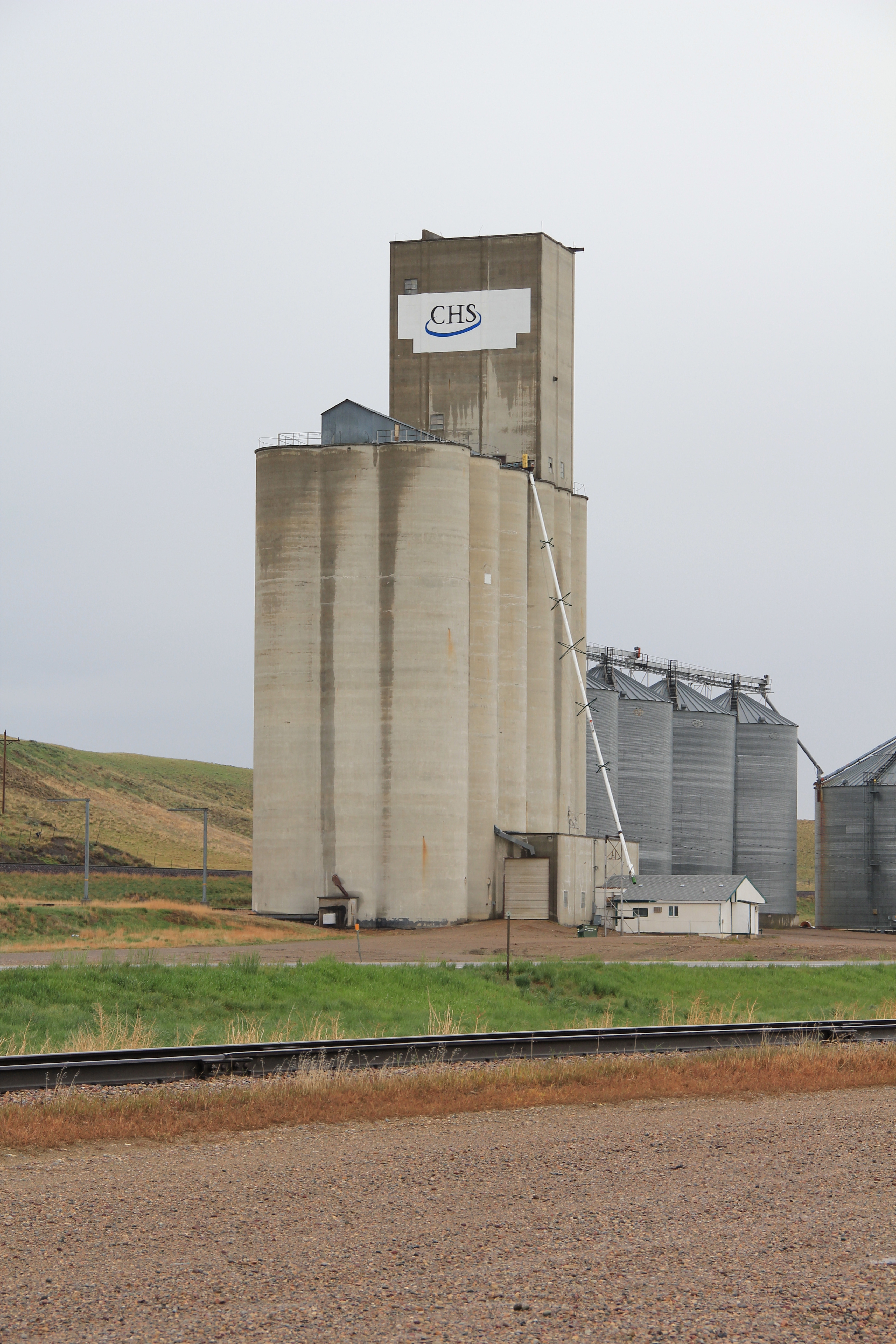
As soon as you move east of the historic Shelby visitor center on U.S. 2, you encounter the landmarks that physically mark the region’s agricultural character. On the north side of the highway, immediately adjacent to the tracks are complexes of grain elevators. Here at Shelby there is a tall concrete group of elevators run by CHS–the appearance of concrete elevators always mark a town that has experienced economic growth in the second half of the twentieth century. Many of the smaller Hi-Line towns have the classic frame elevators of the homesteading era. Grain elevators thus become a physical barometer of a place’s economic prosperity and development.


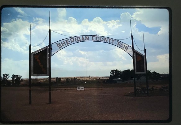
On the south side of the highway in Shelby is the second crucial agricultural institution, the county fairgrounds and rodeo arena. Livestock is not only important to the economy but maybe even more important to the culture of the region. The Marias 4 County Fair, held the third week of July, is a regional gathering of no equal. Thousands attend, and they do so at a fairgrounds with an impressive collection of historic buildings.


In 1984, I noted this east side of Shelby as I left the town, but my eyes and camera were focused on the small railroad towns that I would next encounter, along with two important historic sites I wanted to document.

Whoop-Up Trail site, U.S. 2, 1984
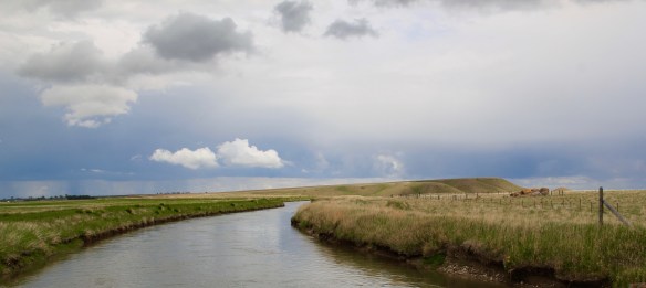
The first was the Whoop-Up Trail remnant, a site first documented by state archaeologists in 1968 and among the handful of historic properties then identified in Toole County (another section of the trail near Kevin is listed in the National Register). In 1984 the location along the highway was well marked, with a series of stones marking the trail and encouraging visitors to go to the property edge and look into the Marias landscape where this historic route between Fort Benton and Fort Whoop-Up in Canada once passed.
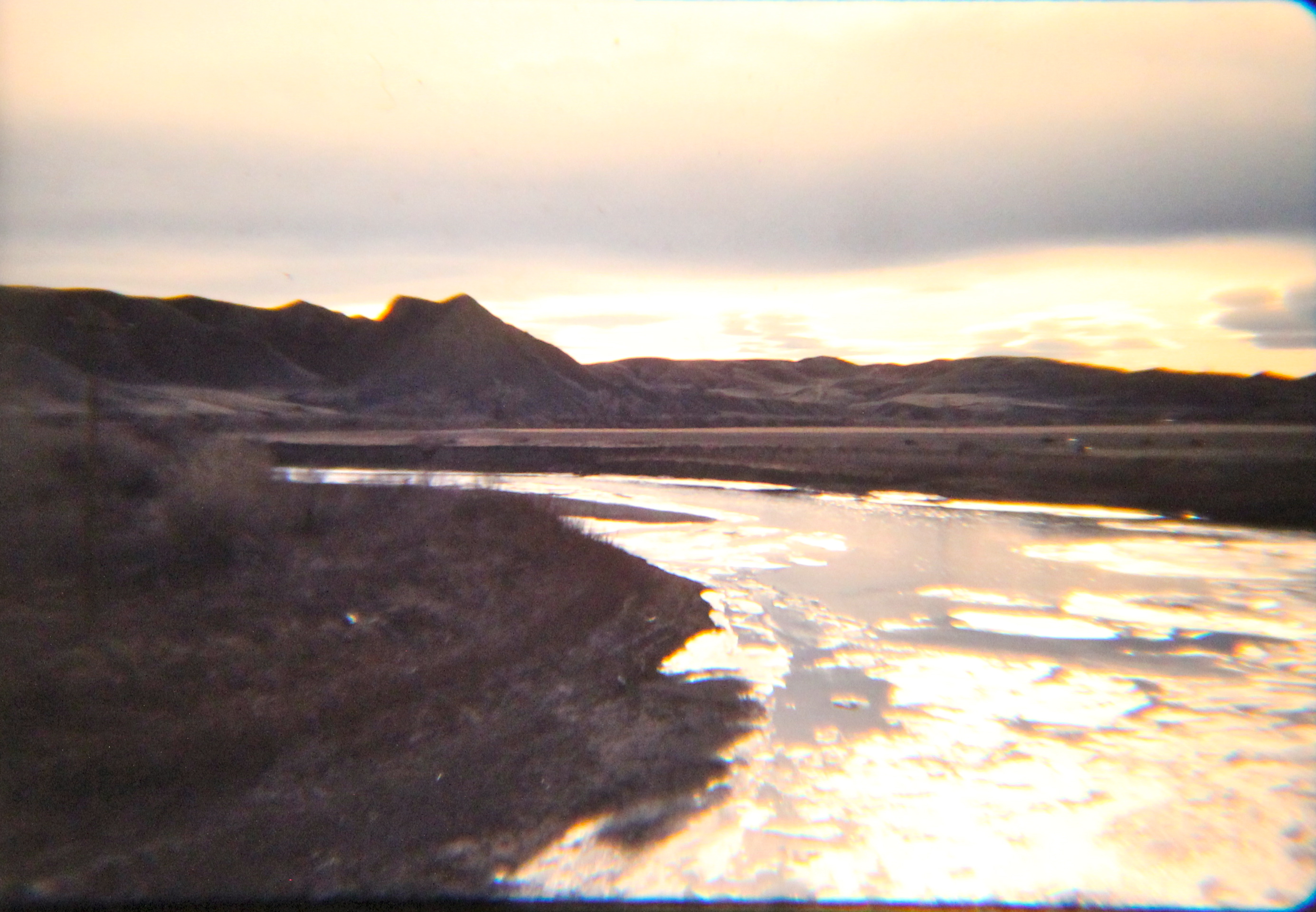
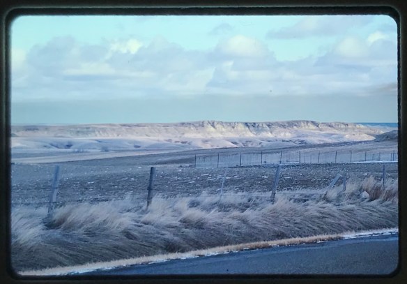
 In fact to the south of U.S. 2, a county road still crosses the Marias near the old trail crossing: it was a somber, beautiful place in 1984. In 2013, the Whoop-Up Trail site is still maintained, put the line of stones to mark the path has either been taken up or covered by growth.

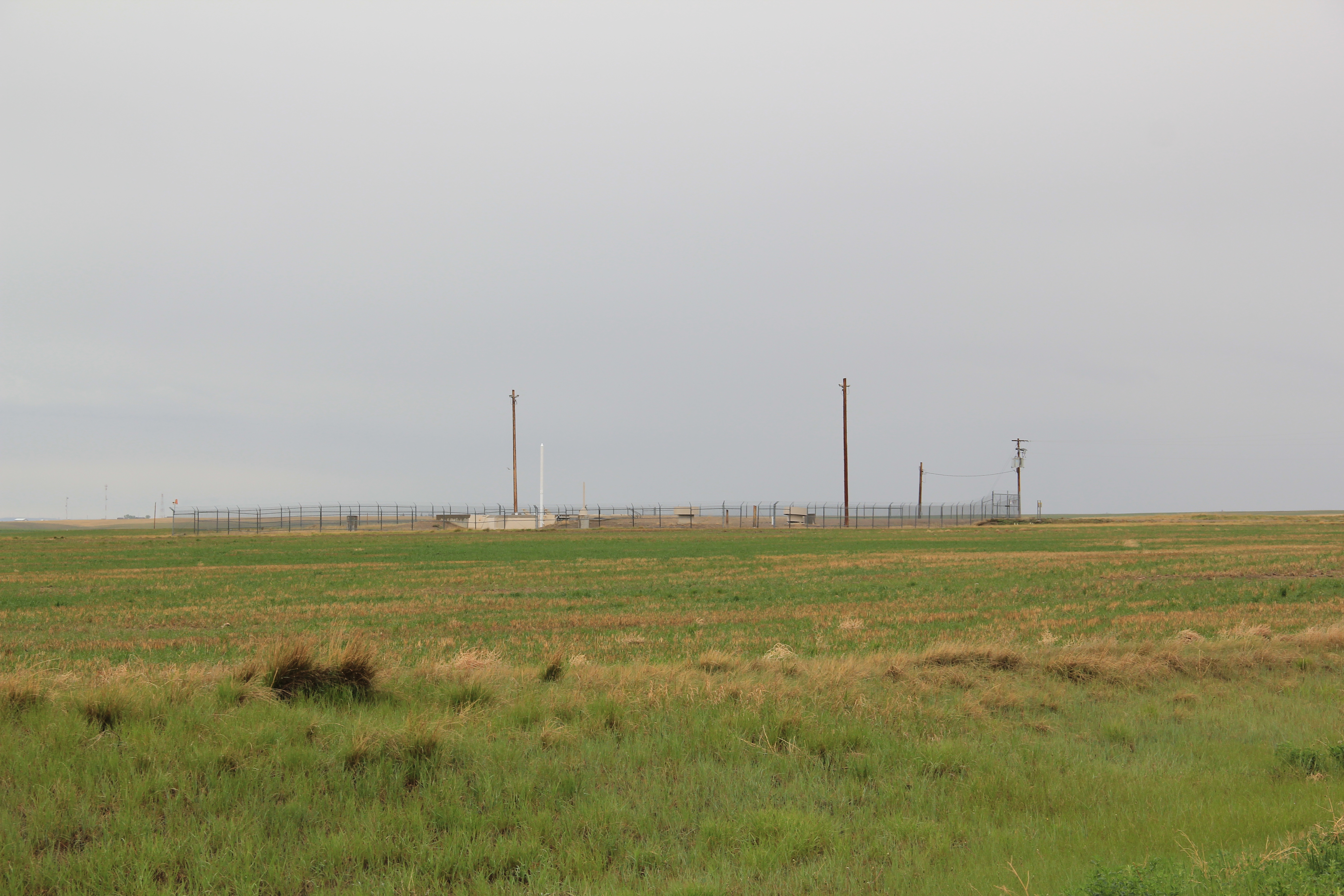
Across the highway remains another key landmark of the Hi-Line and Central Montana region: a nuclear missile silo. These military bases are everywhere it seems, and sometimes in the most unlikely places. By 1984 I had become somewhat accustomed to their presence–coming from the South I had no idea of the role Montana played in our nation’s defense.

But the missile silo was a surprise: what I really was seeking was something on the Marias River–or Baker–Massacre, one of the most horrific events of Montana’s early territorial period. The site is east of Shelby and south of U.S. 2 on private ranch land–and the family has been excellent stewards of this place. No need for me to tred on such sacred ground, but there is a need to intepret that story, and to tell visitors and residents that here in this seemingly peaceful beautiful countryside a group of territorial citizens murdered Blackfeet women, children, and elderly in some sort of mindless bloody search for revenge. That story wasn’t told in 1984 but a long text marker does so now. It strikes the right message: that the massacre “profoundly impacted the Blackfeet people and is very much alive in tribal memory.” A small bouquet of flowers at the marker’s base in 2013 testifies to the truth of this simple memorial.

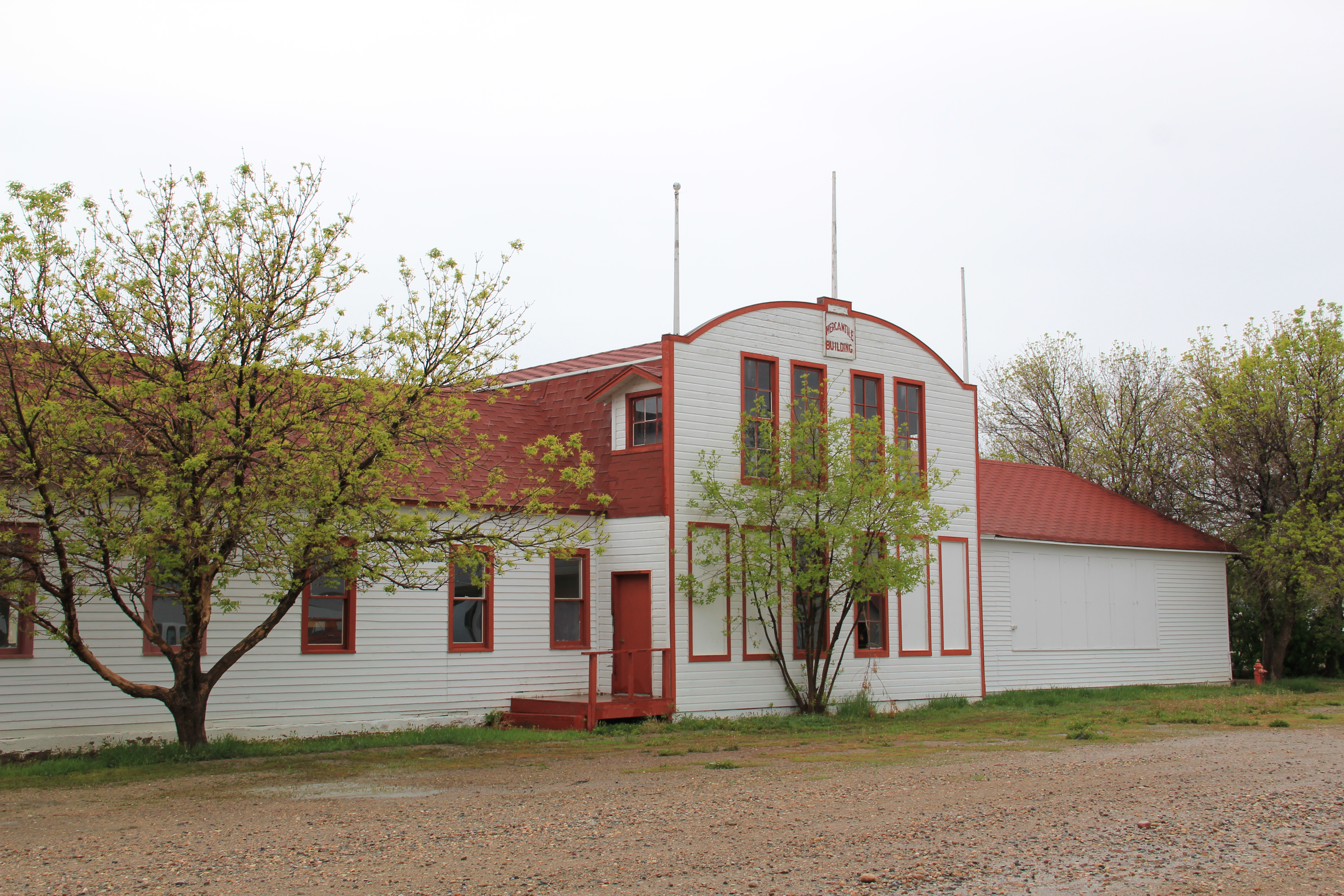
Dunkirk, the first of a trio of Toole County railroad villages east of Shelby, was too close to Shelby itself to ever maintain its own identity for long. Its Frontier Bar was long a worthy roadside stop for thirsty travelers. Outside of the Westermark Grain Corporation elevators, the bar was the only reason to even give Dunkirk a glance.


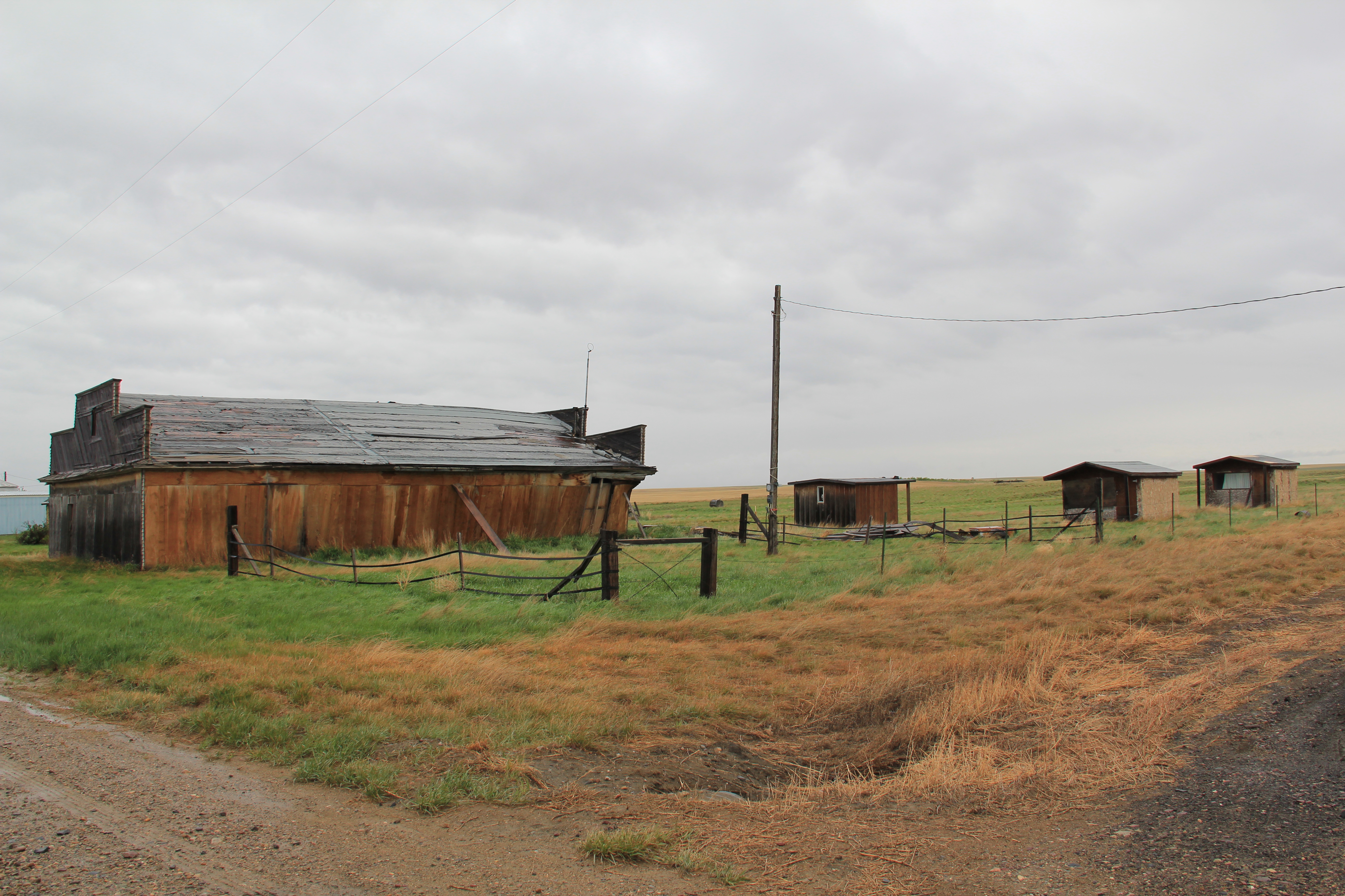
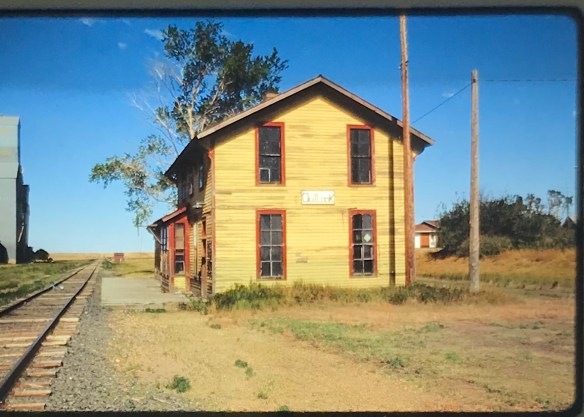
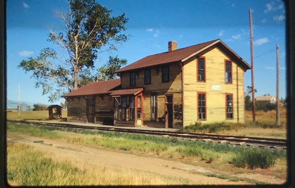
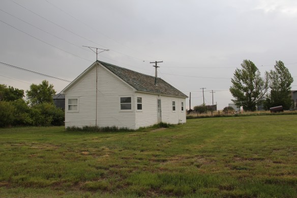
Devon is a plains country town on the Great Northern Railway that was the first “prairie ghost town” of the 1984 survey. Numerous false-front frame buildings from the 1910s and 1920s existed in 1984: 30 years later several of these were gone.


Devon streetscape, 1984

Devon, Montana, 1984

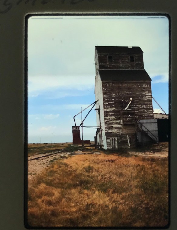
Devon grain elevator, 1984
Yet I must admit that Devon now had more to it than what I recalled from 1984. Certainly the old brick bank building had been abandoned, and the town community hall appeared shuttered, but the contemporary-styled Devon Lutheran Church spoke to persistence, even after decades of economic change. The grain elevators that were prominent in 1984 also had persisted, and stood as three sentinels on the plains.


Galata, established in 1901, is another Great Northern Railway stop, with its corridor landscape speaking to its isolation and agricultural dependence. It is a T-town plan town, where the main street forms the stem of the T while the railroad tracks form the top of the T.
In the latter half of the 20th century, Galata had actually reached beyond its T-town plan and out to the highway. Its Motel Galata is a classic piece of roadside architecture, and its huge highway sign of a Montana frontiersman with cowboy hat waving his car keys beckoning travelers to stop.

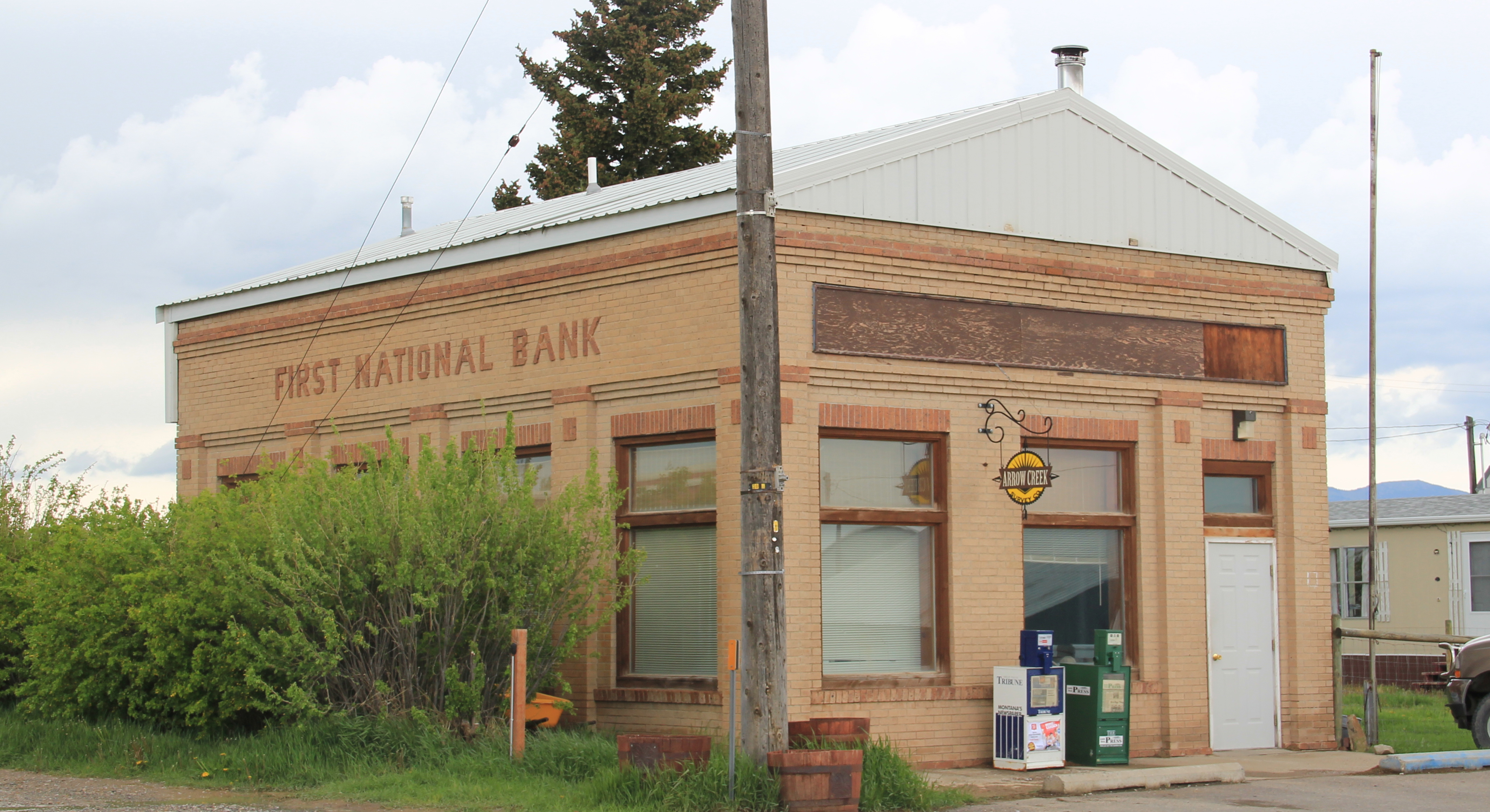
Galata also has kept its post office–a classic 1960s standardized design. But the real key is the strength of its community institutions, churches, American Legion lodge hall, and especially the


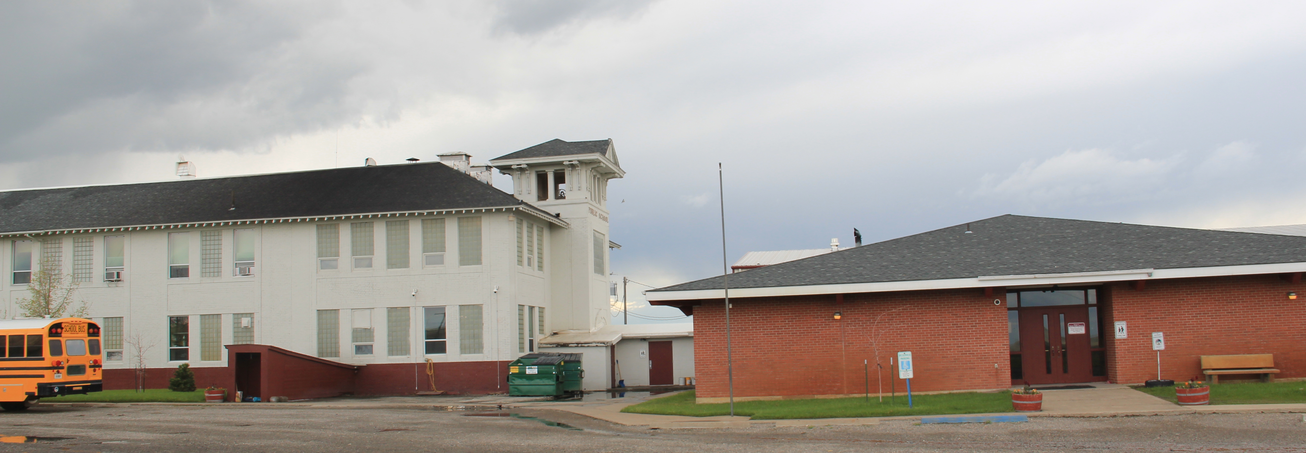
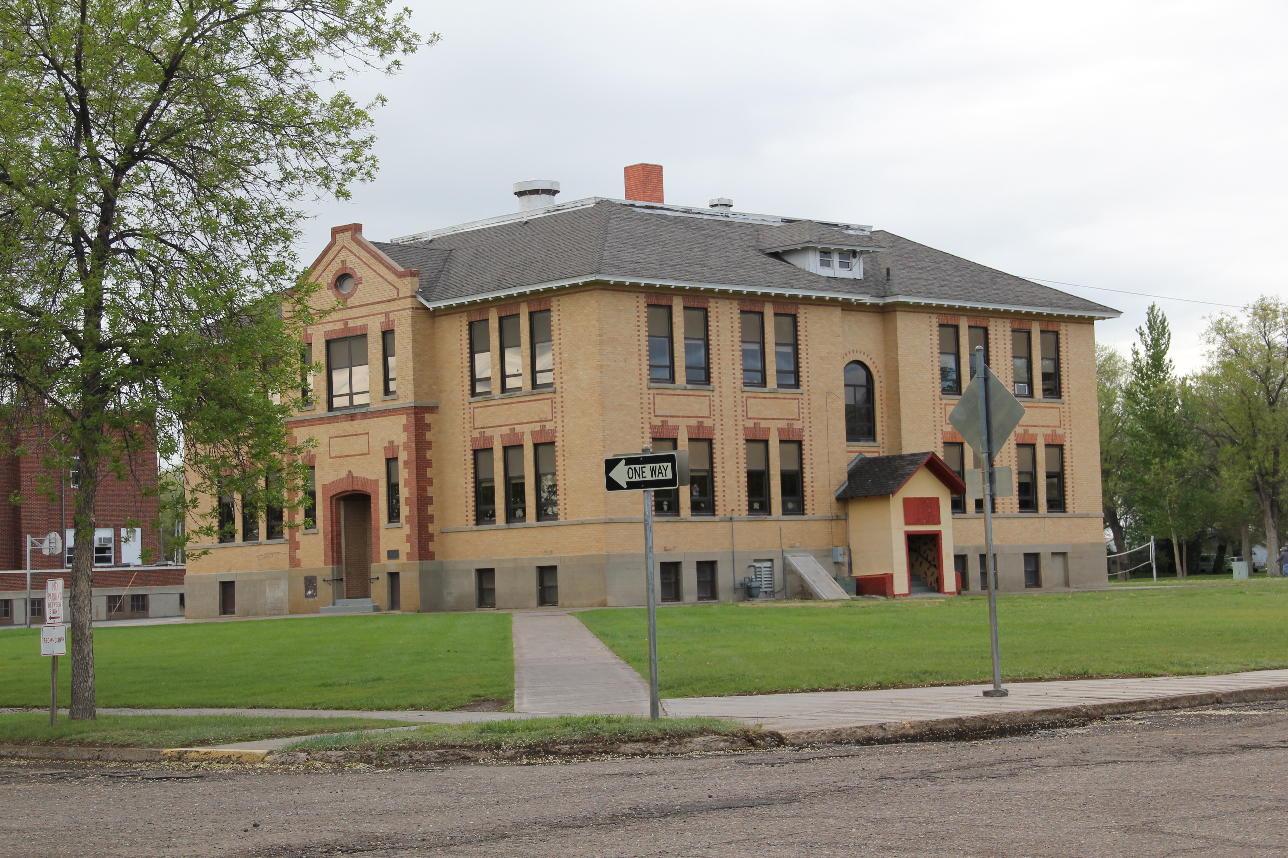
school. The school campus contains two eras: the classic frame country school of the homesteading era, with additions, and then the more ranch-styled flat roof school building common in American suburbs in the 1950s and 1960s.


As discussed earlier in this blog, Hi-Line residents also make their presence known by signs, even if they are a little worn or emblematic of the loss of other community buildings. Galata is no exception.


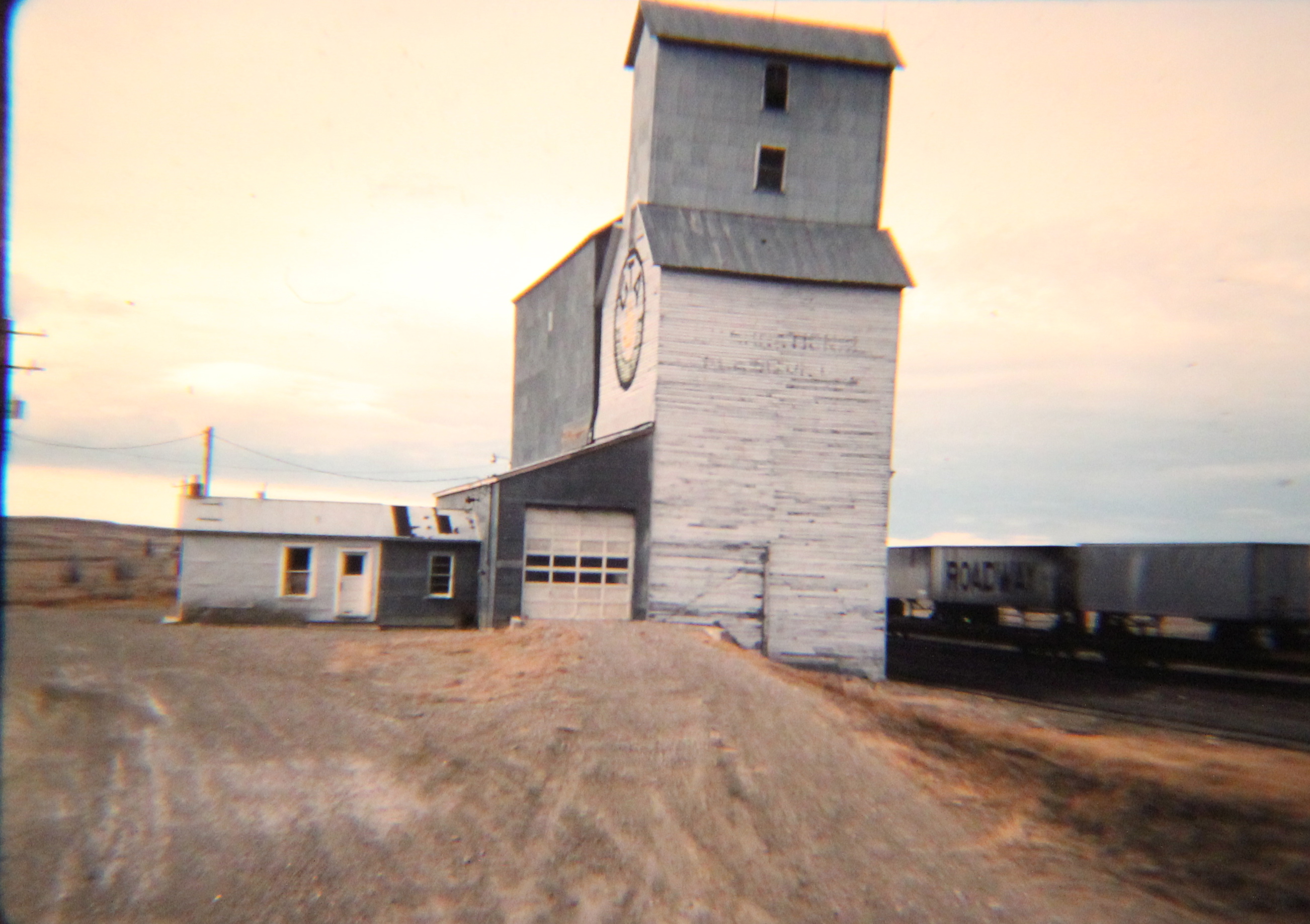
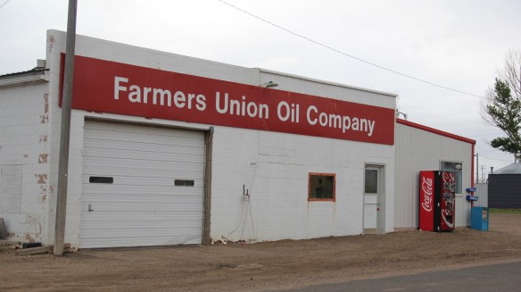
 Kremlin never grew to be much, perhaps 300 residents at its height (around 100 today), not because it never participated in the region’s agricultural boom–the decaying elevators speak to prosperity but a tornado and then drought doomed the town to being a minor player along the Great Northern main line.


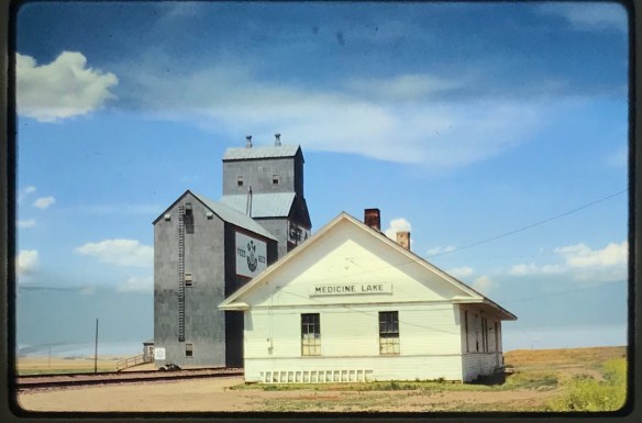
 Libby is the seat of Lincoln County, a typical railroad town along the historic Great Northern Railway corridor. The image above is from the town’s railroad depot, the symbolic beginning of town, from which runs a long main street of businesses, reflecting the T-plan town design, where the long railroad corridor defines the top of the T and the main street forms the stem of the T.


 courthouse received a totally new front, in a contemporary style, in the 1970s as the town and county expanded in the wake of the federal spending in constructing Libby Dam. The rectangular blockiness, flat roof, and band of windows set within a symmetrical facade makes the courthouse one of the state’s best designs for a rural public building in the late 20th century.
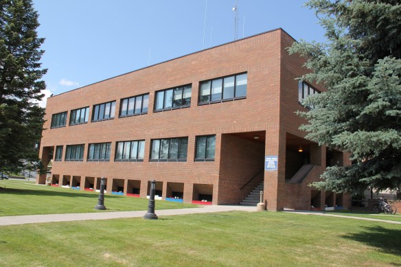 I liked all of those things about Libby in 1984. Imagine my shock and disappointment to learn, as everyone else did, that Libby was one of the poisoned places in the west. In 1919, vermiculite, a natural material that contains asbestos, had been discovered outside of town, and the mines were still operating, producing 80 percent of the vermiculite in the world, under the control of the W.R. Grace company. Residue from the mines had been used in local yards and buildings for decades, a fact that was not known when I visited the town for the state historic preservation plan. When the discovery of the danger became public, and the federal Environmental Protection Agency entered into the fray in 1999, it was already too late for many residents. A federal Superfund project began, and did not conclude its work until 2015, spending some $425 million. Then in 2009 the Environmental Protection Agency announced a public health emergency, spending another $130 million to help residents and to leave a new health infrastructure in place. In a generation, Libby had been turned inside out. EPA announced in 2016 that the cleanup would continue to 2018, and that the project was the longest in the agency’s history.
 Despite the disaster, I saw many signs that Libby residents were determined to remain and rebuild their community. One of the most powerful examples is the conversion of one of the town’s historic schools into a new community arts center as well as school administration offices.


 The asbestos crisis was a terrible disaster for Libby–yet residents refused to let it define their future. There are past accomplishments to acknowledge, an active railroad depot to cherish, a beautiful river and lake, the mountains all around, as celebrated in this public art mural on a downtown building. This place is here to stay, and the historic built environment is a large part of it.
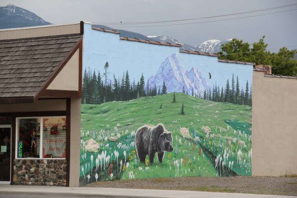
 The Clark’s Fork River and transportation through the valleys and over the Rocky Mountains lie at the core of Missoula’s early history. Captain John Mullan blazed his road through here immediately before the Civil War, and a Mullan Road marker is downtown.
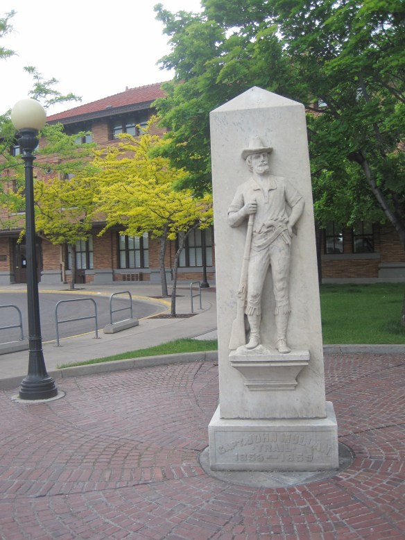 White settlement first arrived in the initial territorial years and a sawmill was the first major business. As a river crossroads town, Missoula grew, and then became a permanent dot on the federal map with the arrival of Fort Missoula, established in 1877. The fort, largely neglected when I conducted my work for the state historic preservation plan in 1984, is now a regional heritage center.

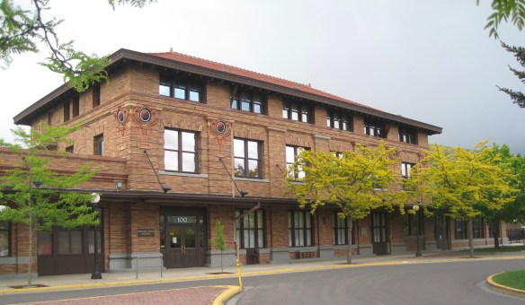 Built in 1901, the Northern Pacific passenger station is an impressive example of Renaissance Revival style, designed by the architectural firm of Reed and Stem, and symbolized the turn of the century dominance of the railroad over the region’s transportation and the importance of Missoula to the railroad as a major train yard. The station, listed in the National Register of Historic Places in 1985, stands at the historic “top” of downtown Missoula, which at its bare bones has the classic T-plan of a railroad hub of the late 19th century. The Northern Pacific tracks and related railroad warehouses are the top of the “T” stretching in both directions with Interstate I-90 crossing the river bluffs to the northeast. Two reminders of the historic railroad traffic are adjacent to the station–a steam Northern Pacific engine and a diesel Burlington Northern engine.


 The Milwaukee was not to be out-done by the Northern Pacific when it arrived in Missoula in 1908. Railroad architect J. J. Lindstrand gave the line a fashionable Misson-style passenger station and offices, which opened in 1910. It too is listed in the National Register. Like the company’s stations in Great Falls and Butte, built approximately at the same time, the station has a tall tower that commanded the city’s early 20th century skyline, and made the depot easy to find. Located dramatically along the Clark’s Fork River, the arrival of the railroad and the construction of the depot led to a new frenzy of building on South Higgins Street, and a good many of those one-story and two-story buildings remain in use today.
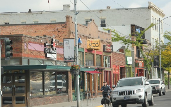
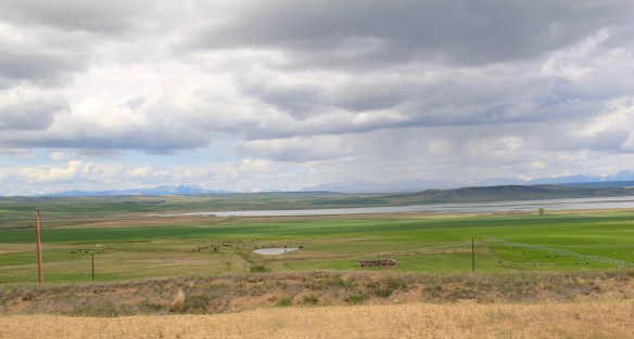
 We just finished an exploration of U.S. Highway south from Great Falls to Livingston, the gateway to Yellowstone National Park. Now let’s head in the opposite direction, north of Great Falls to Glacier National Park. In the first half of this trek, one great man-made landscape dominates either side of the road–the Sun River Irrigation Project, established by the U.S. Bureau of Reclamation in 1906 but not completed until the late 1920s.

 Feeding in and out of Fairfield are multiple canals and ditches, with the great bulk of land devoted to the production of malting barley, under

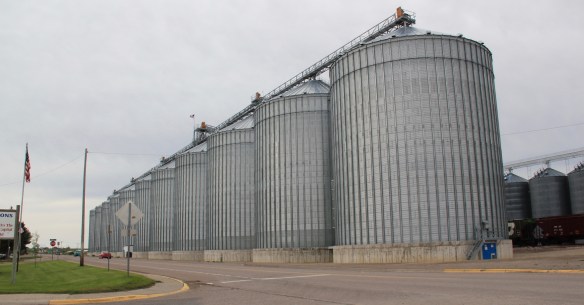 Fairfield itself is a classic T-plan railroad town. The barley granaries dominate the trackside, where also is located the headquarters for the Greenfields Irrigation District, so designated in 1926.
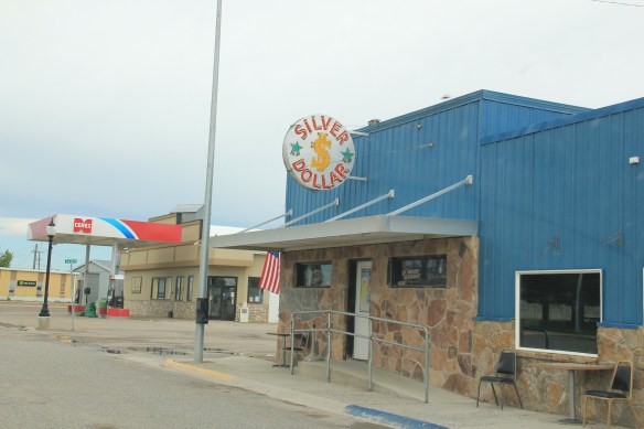
 Along the stem of the “T” plan are all of the primary commercial buildings of the town, from an unassuming log visitor center to various one-story commercial buildings, and, naturally, a classic bar, the Silver Dollar.


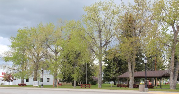
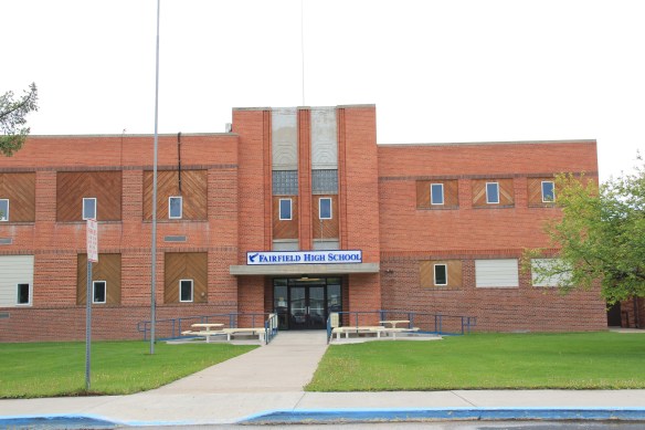
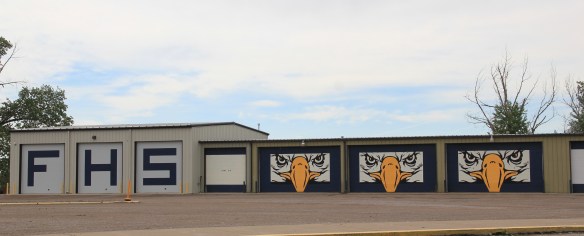
 Public spaces and institutions are located at the bottom of the “T,” including a community park and swimming pool, a c. 1960 community hall, and an Art-Deco styled Fairfield High School. The park, pool, and high school were all part of the second period of federal improvement at Fairfield during the New Deal era.