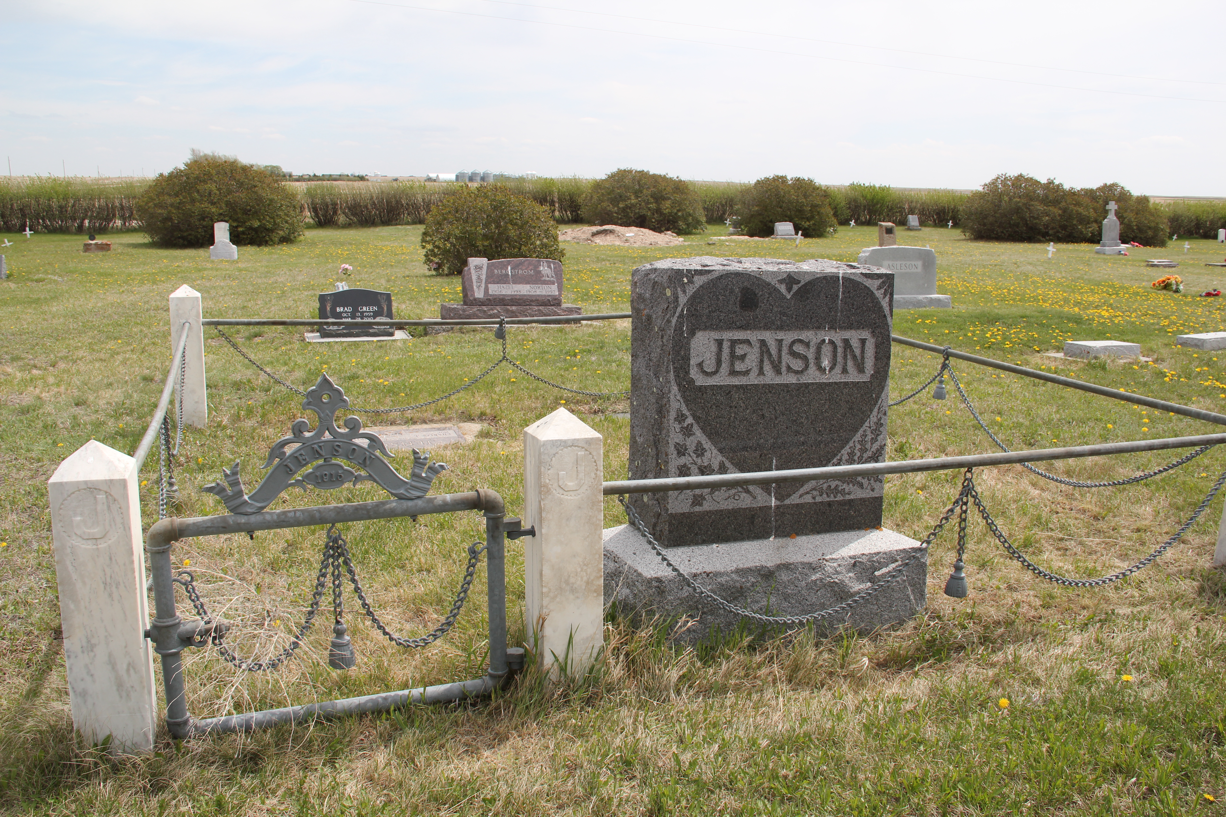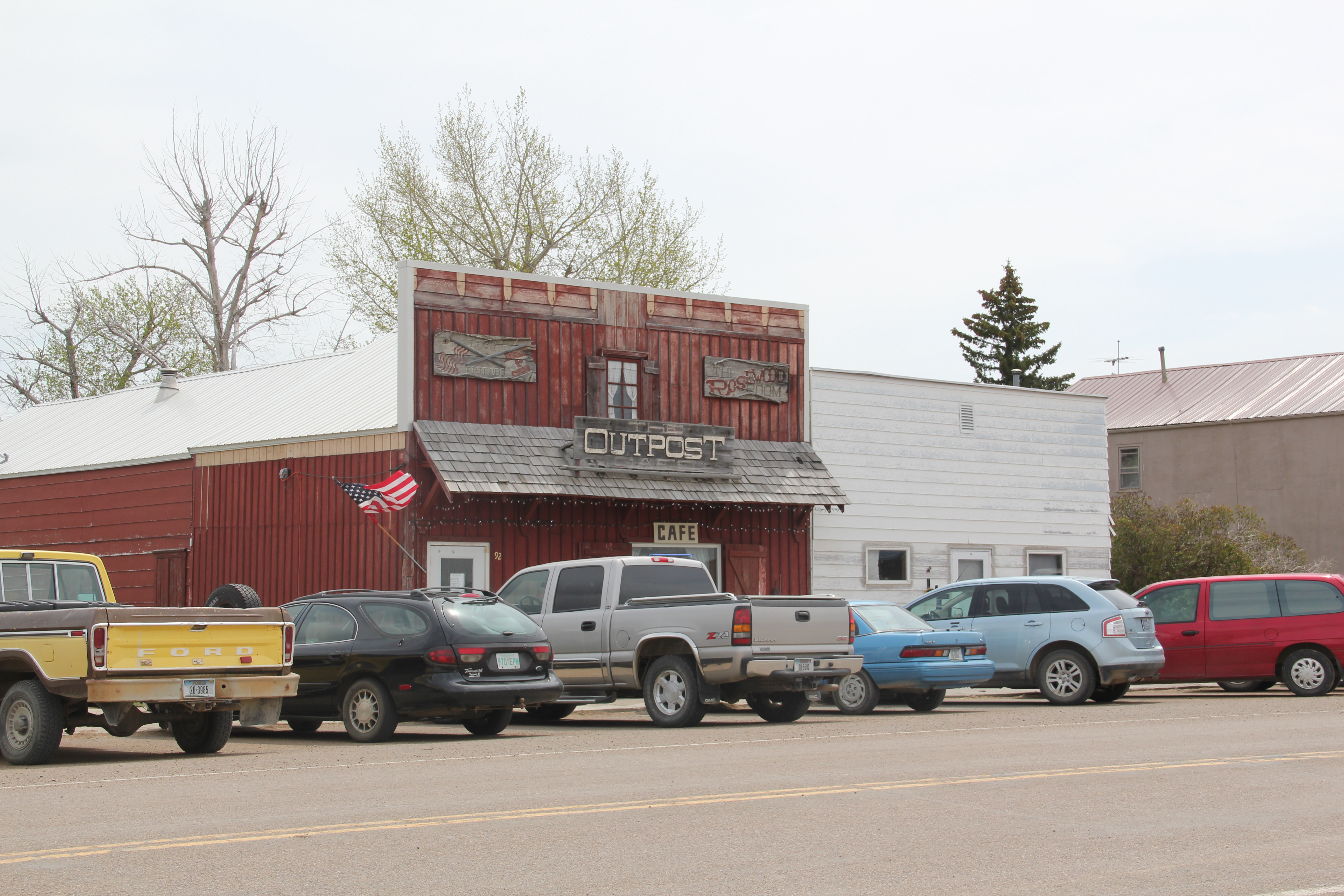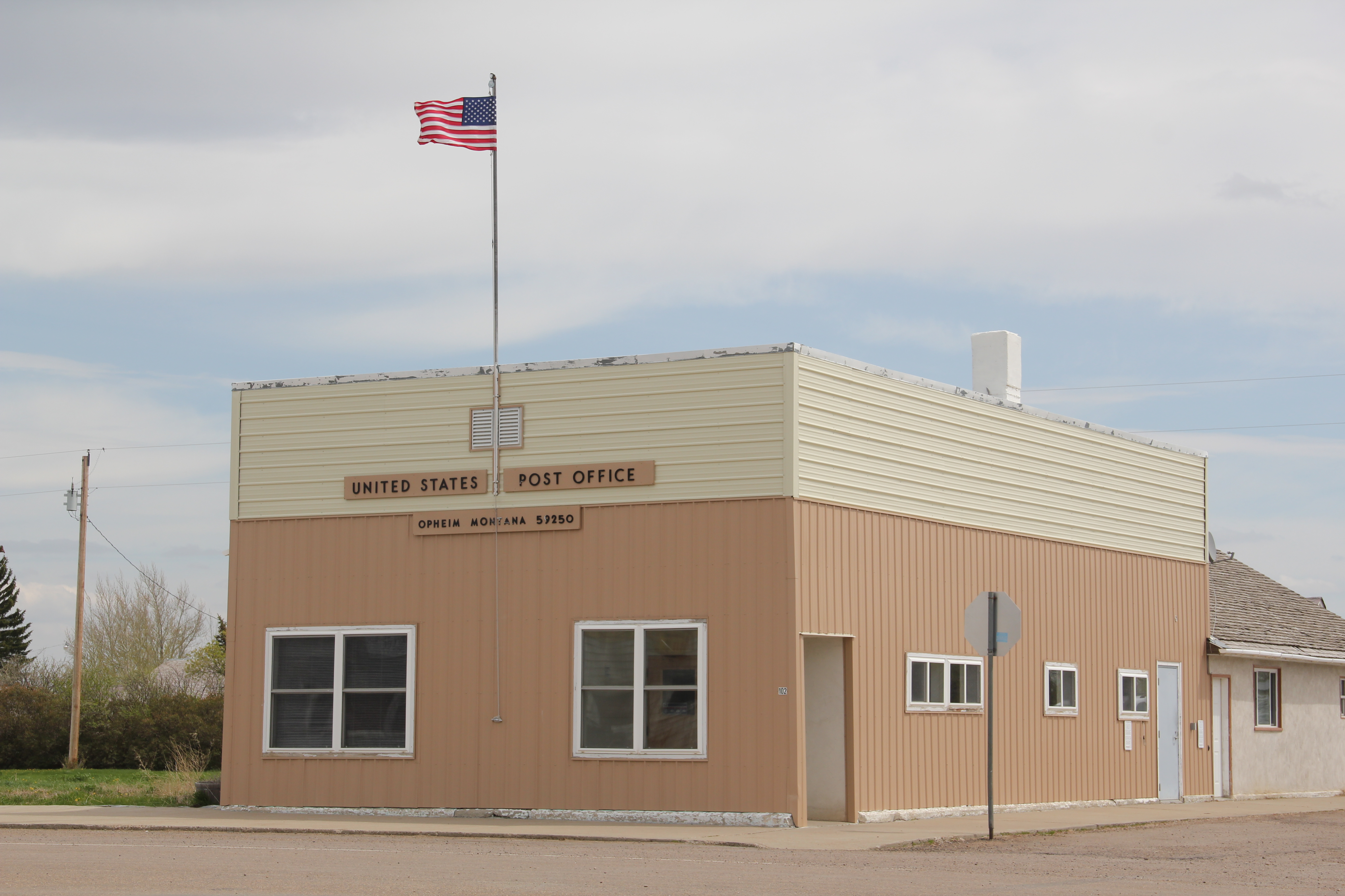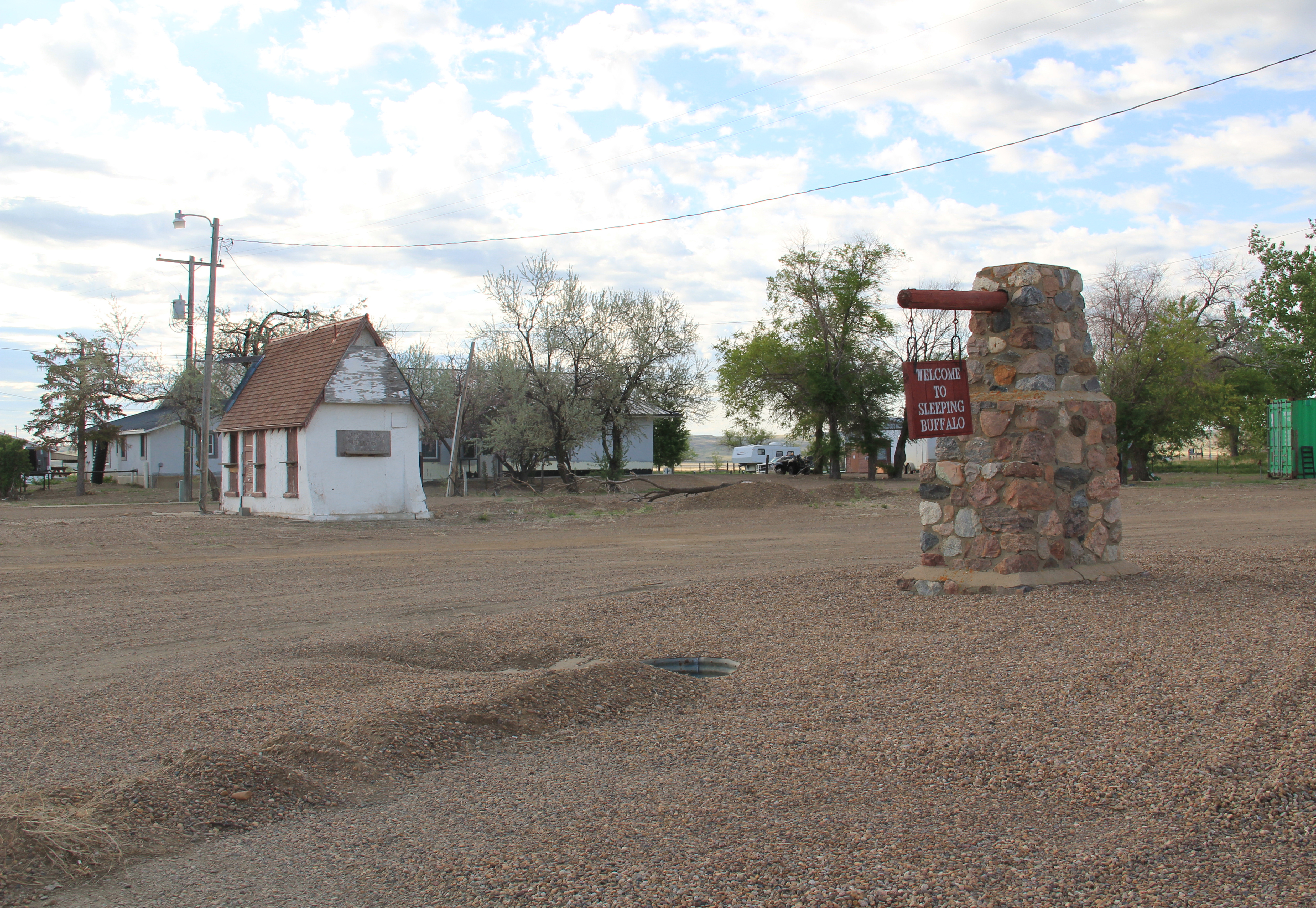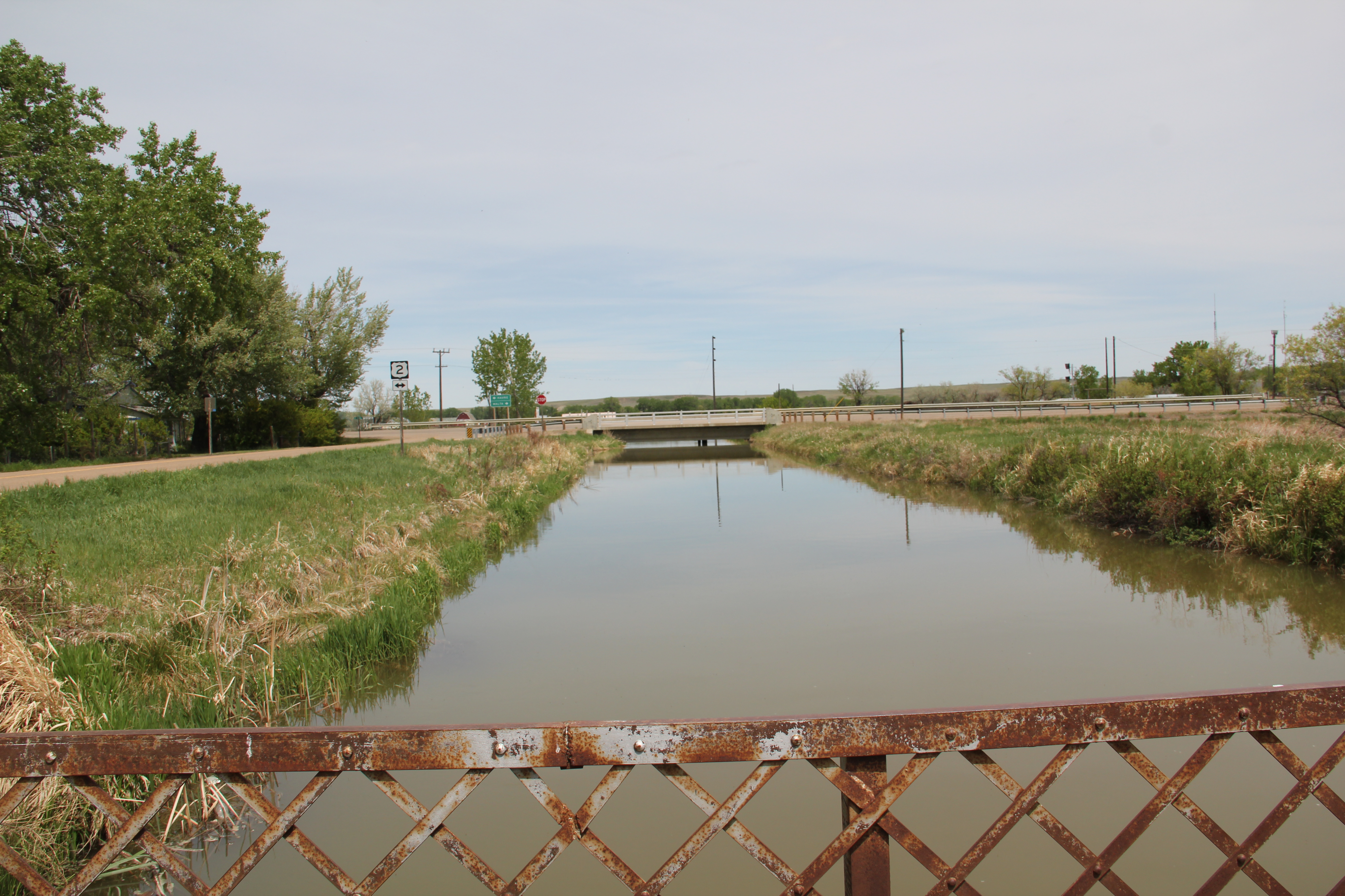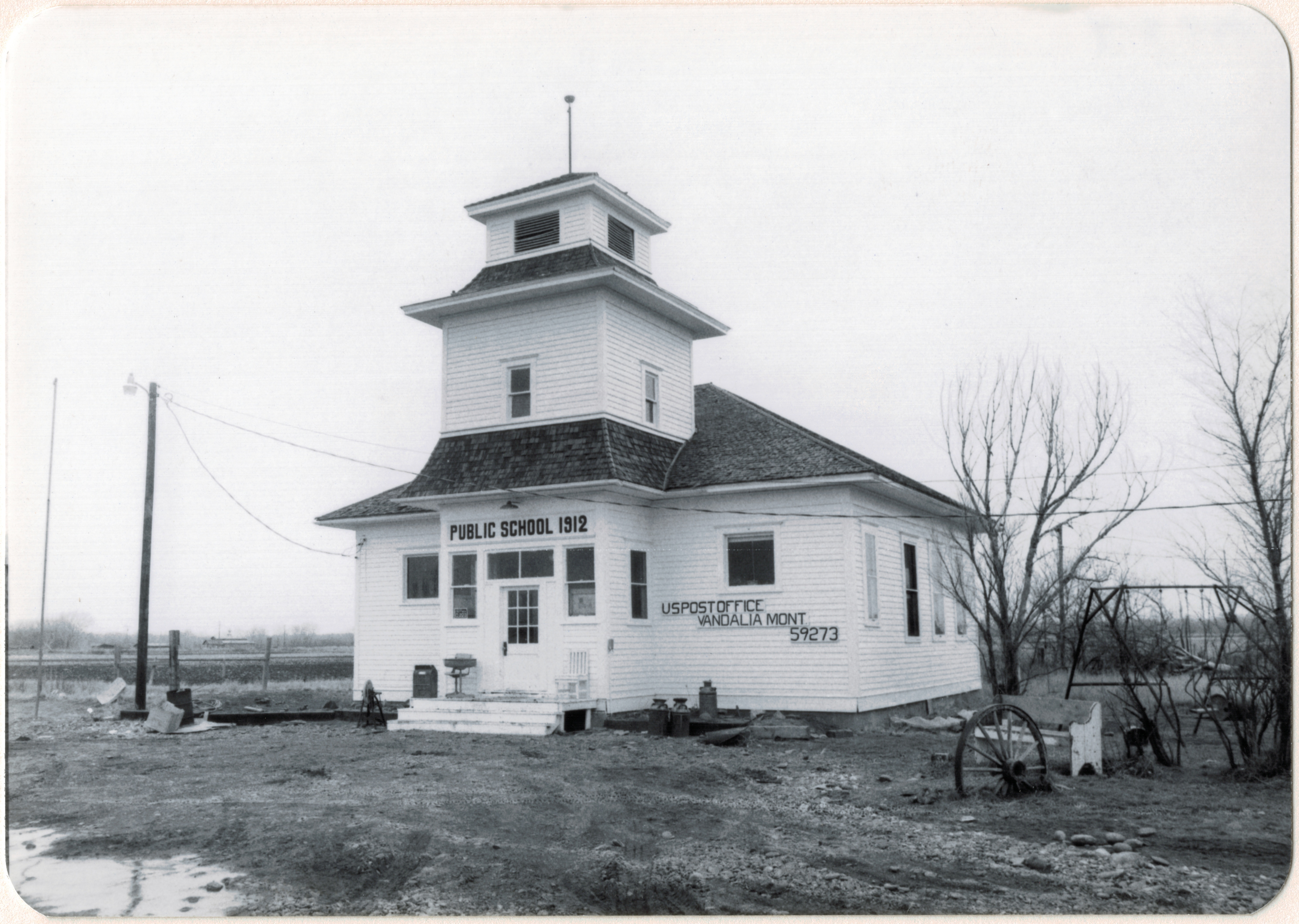
A month ago, I explored the important of the U.S. Reclamation Service (now Bureau of Reclamation) on the middle of Valley County through its Milk River project, and paid particular attention to now largely forgotten towns such as Vandalia. irrigation to make the arid prairie bloom was crucial to the county’s history. But now let’s jump ahead and look at when the federal government literally just saw the county as a spot on a continental map–the perfect location high near the Canadian border to locate a major Air Force base.
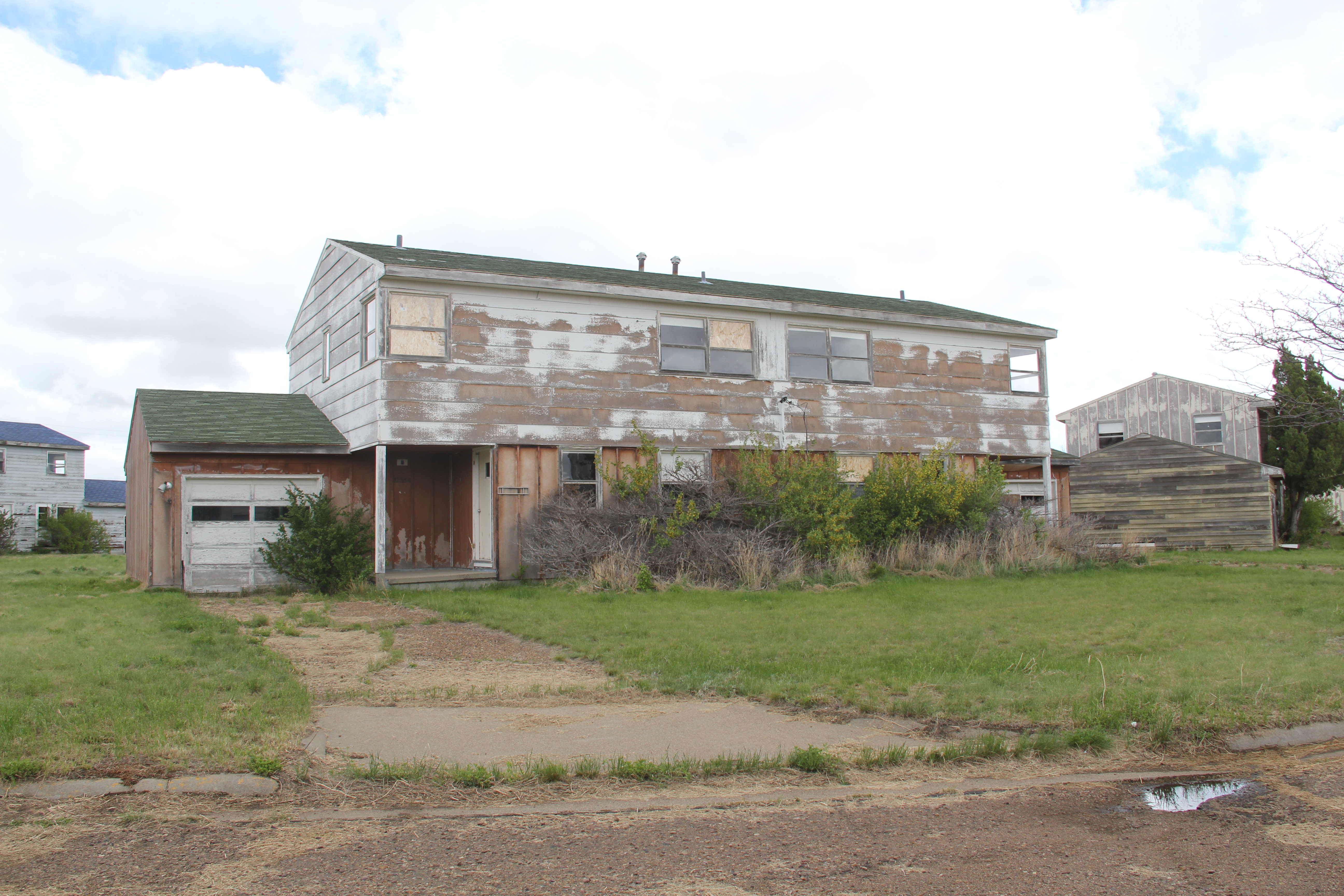
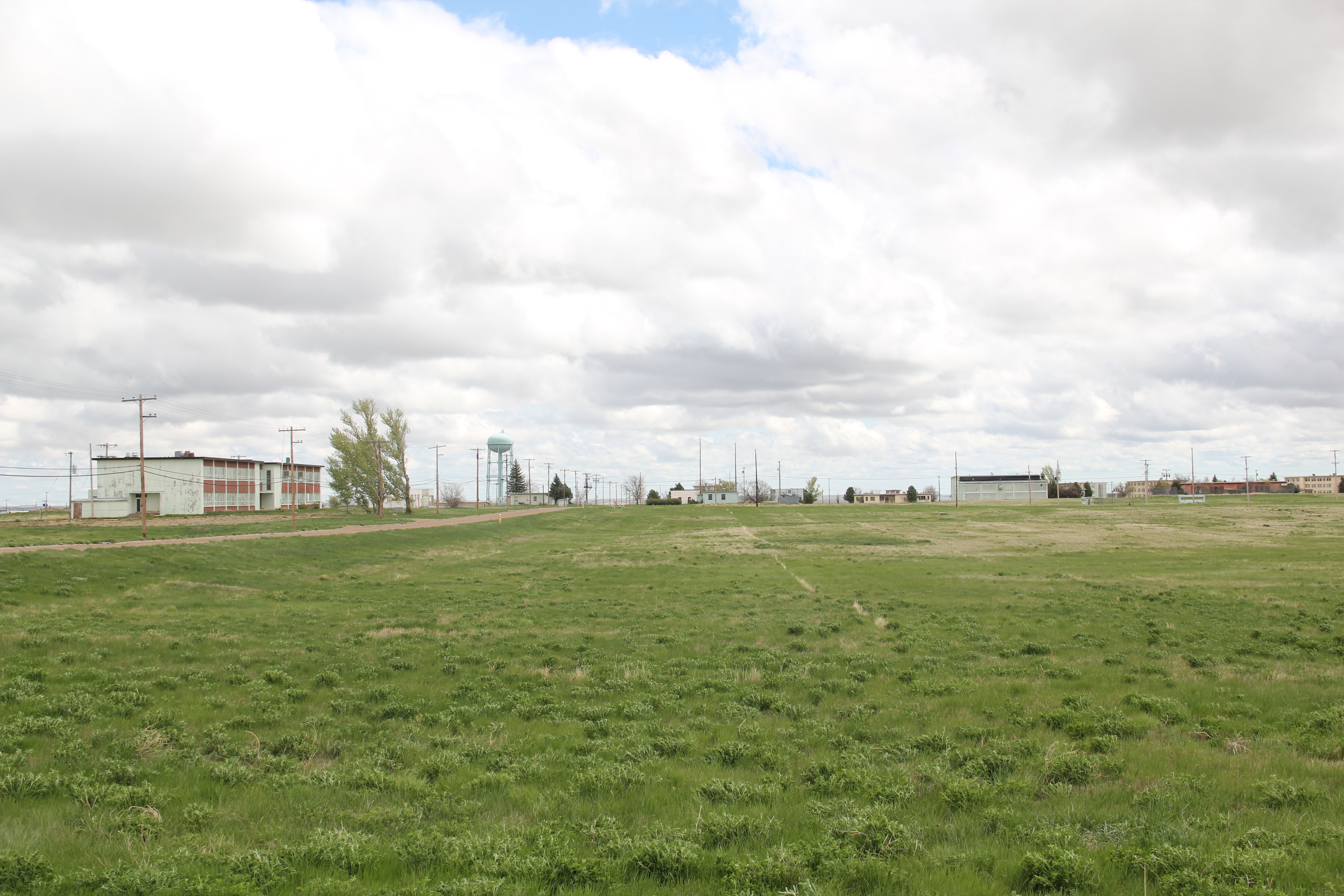
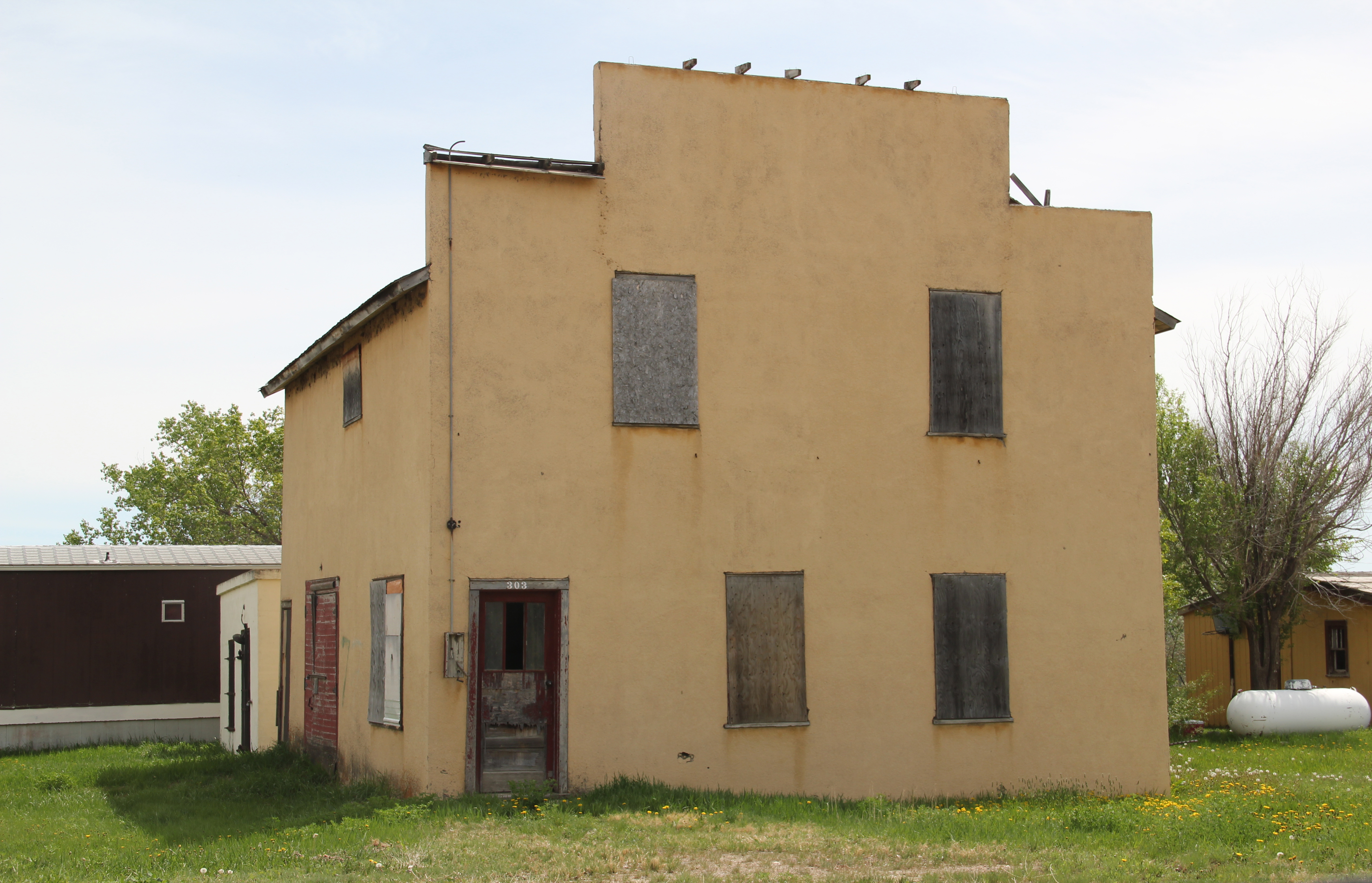
The Glasgow Air Force Base, activated in 1957, was initially part of the Air Defense Command, a base for interceptors to stop any air attack from the Soviet Union. By 1960 the base’s mission had expanded to the Strategic Air Command, and the runways lengthened to handle huge B-52 bombers and tankers (like those shown at the beginning of the iconic film Dr. Strangelove). SAC abandoned the base in 1968–and although the military came back briefly in the mid-1970s and various private companies have tried to invigorate the base ever since, what the Cold War brought in the 1960s has largely turned into a Cold War ghost town.

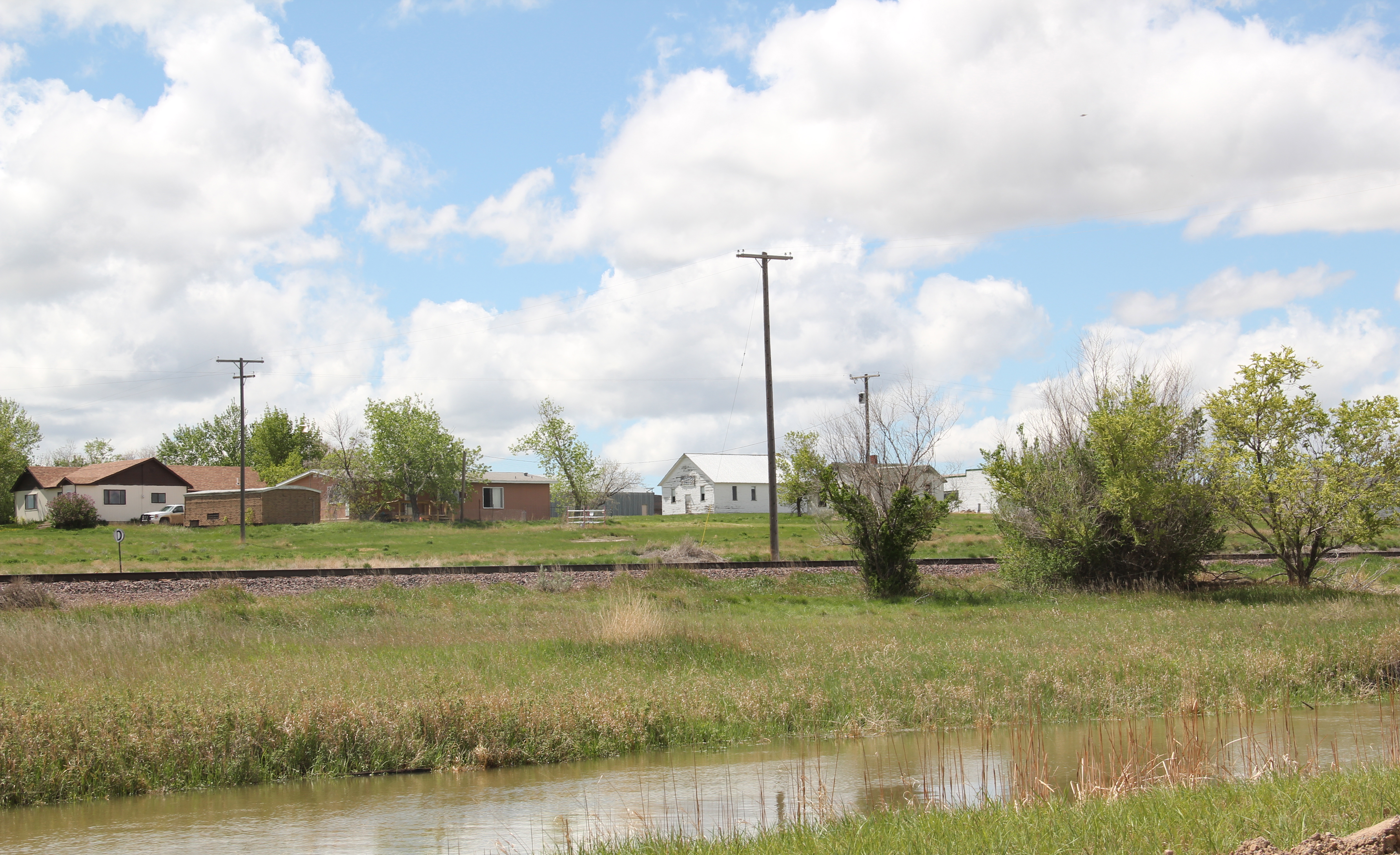
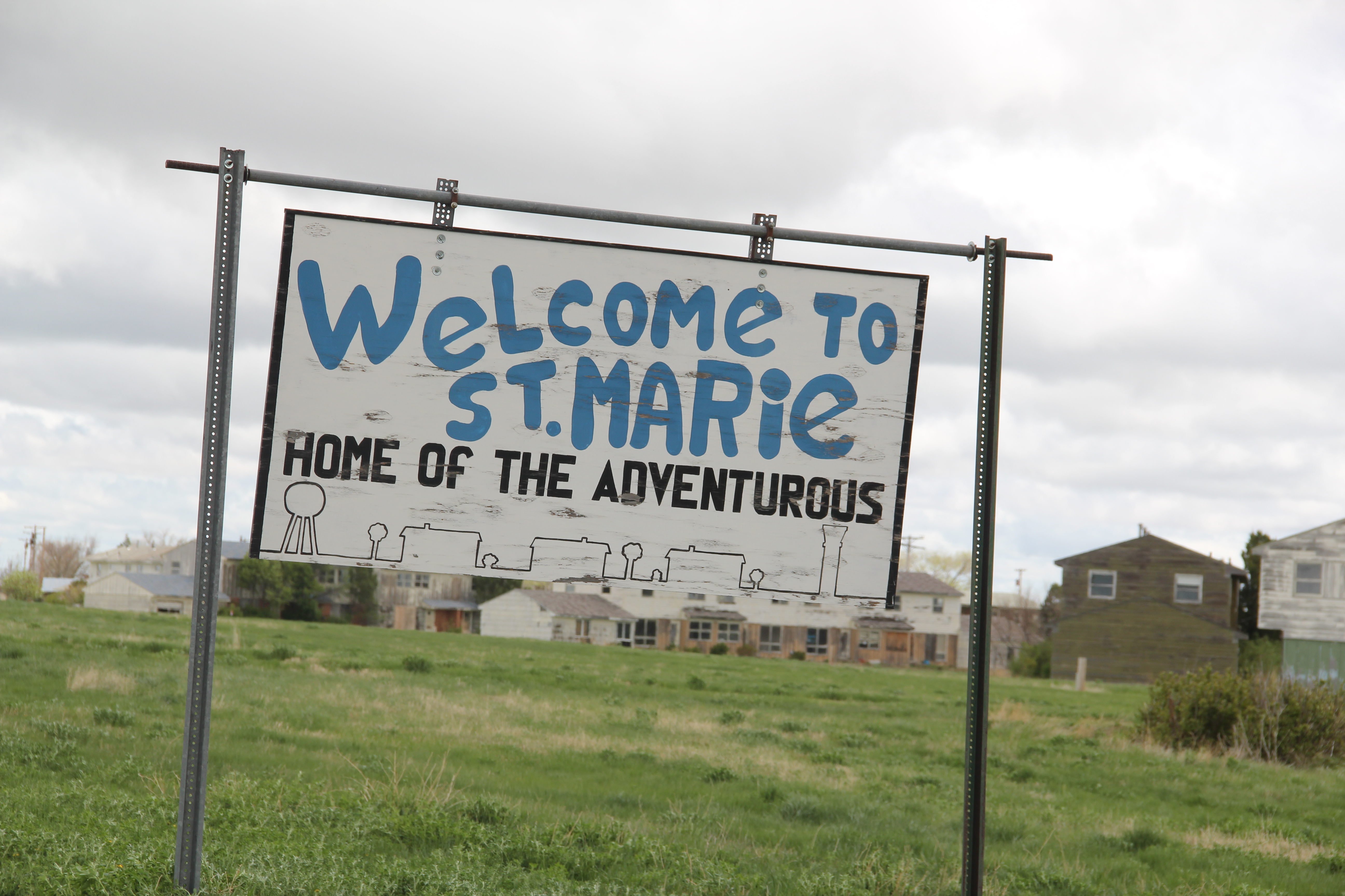
Local heritage leaders eagerly showed me what was then known as St. Marie’s Village, and spoke of it as a retirement location for the many airmen that had passed that way twenty years earlier. Frankly, I wondered why they would come back–certainly the town then looked like a television set for Bewitched or countless other 1960s sitcoms.


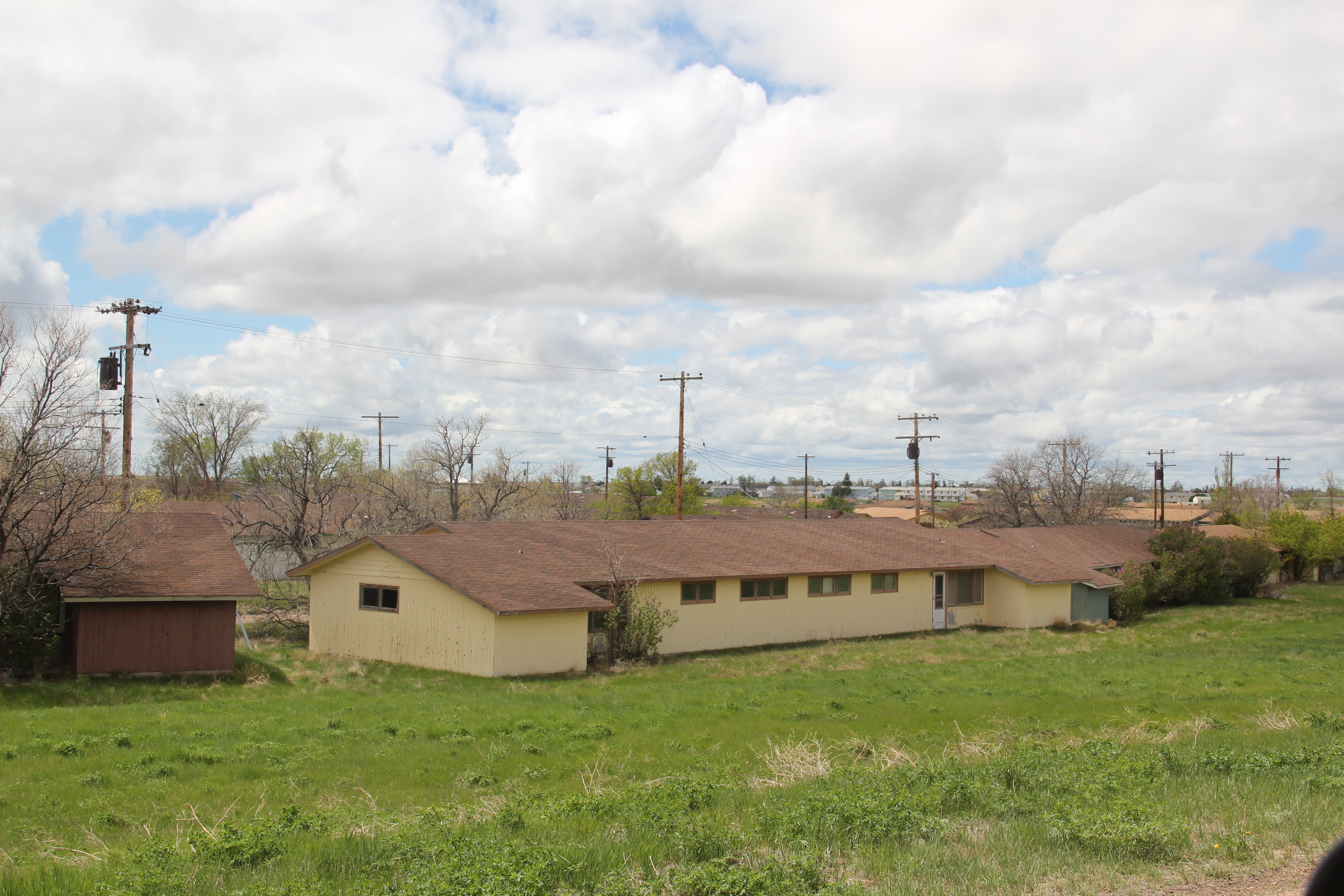 Enlisted men barracks
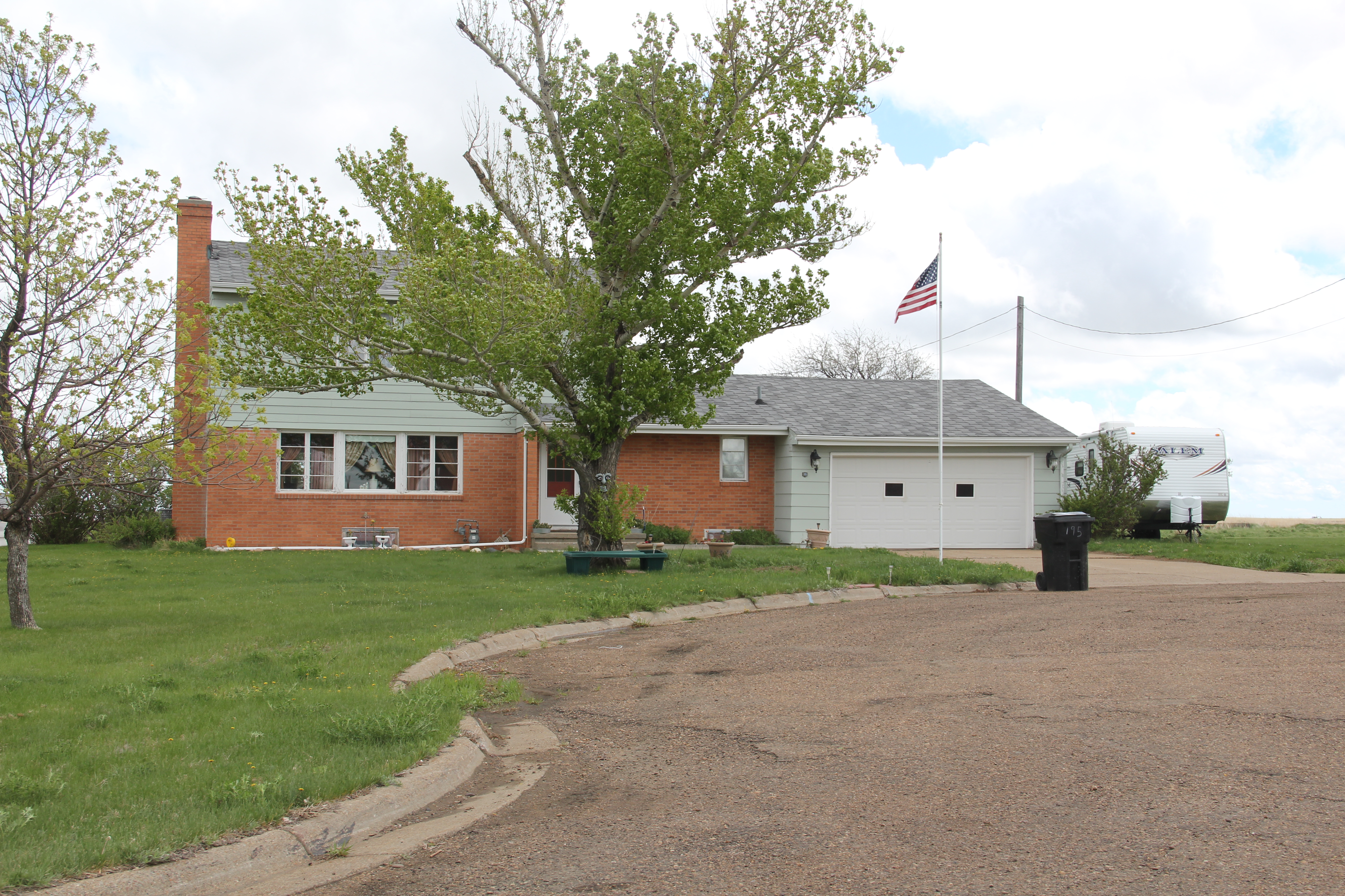 Commanders quarters–single family homes
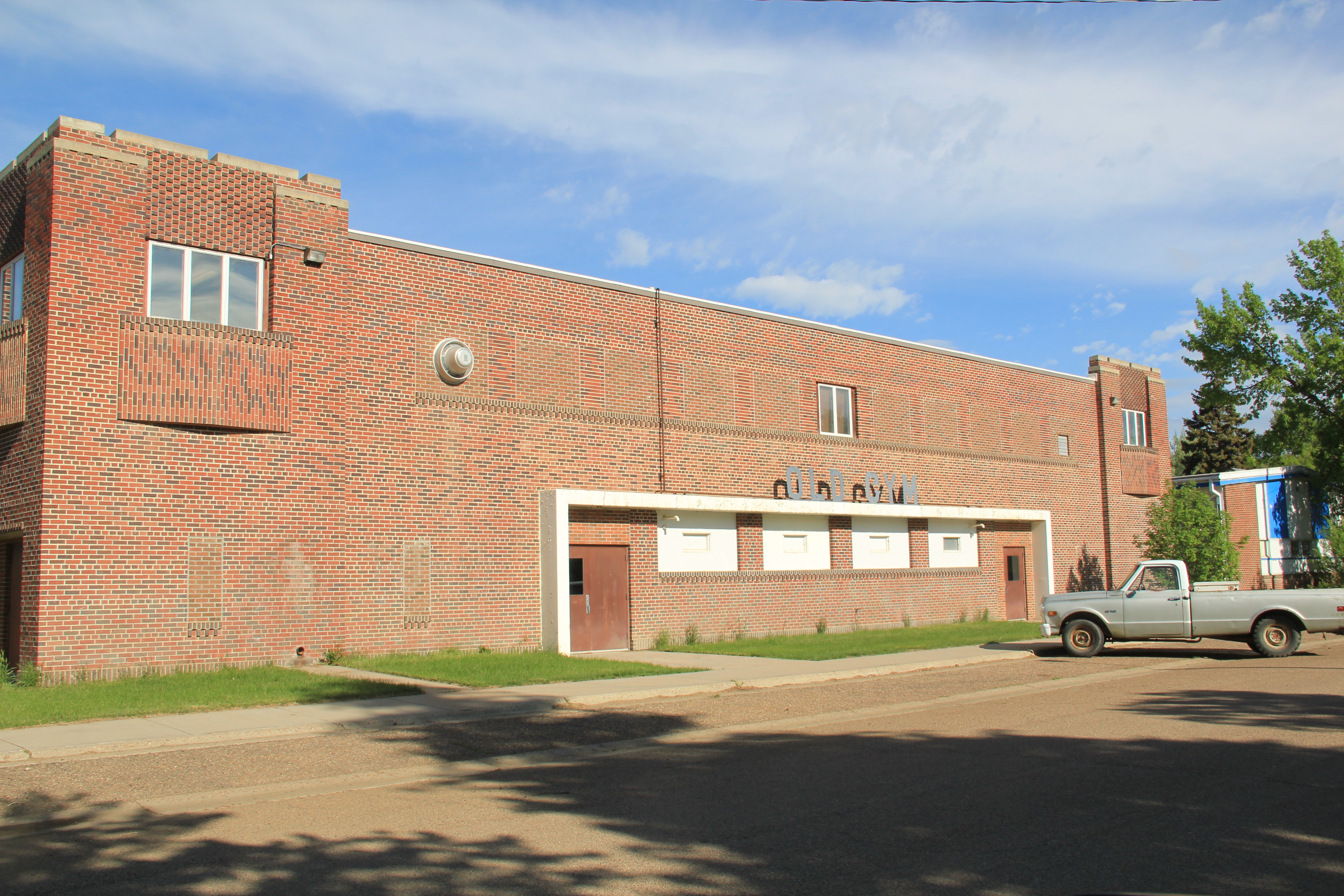
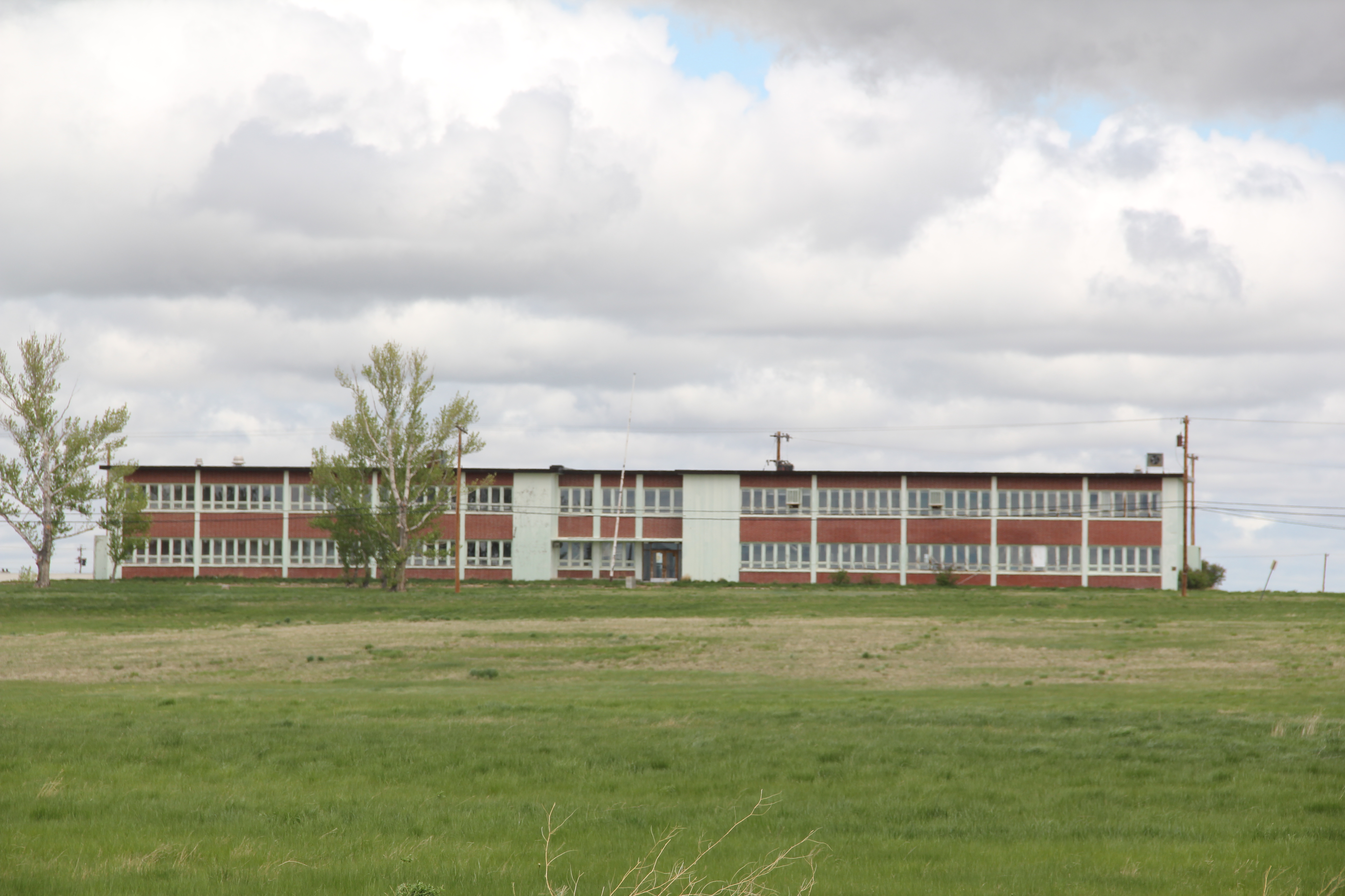
Rows of ranch-style houses, contemporary, modernist public buildings, modernist styled school buildings, curvilinear roads–it was a California suburb plopped down some 25 plus miles north of Glasgow.
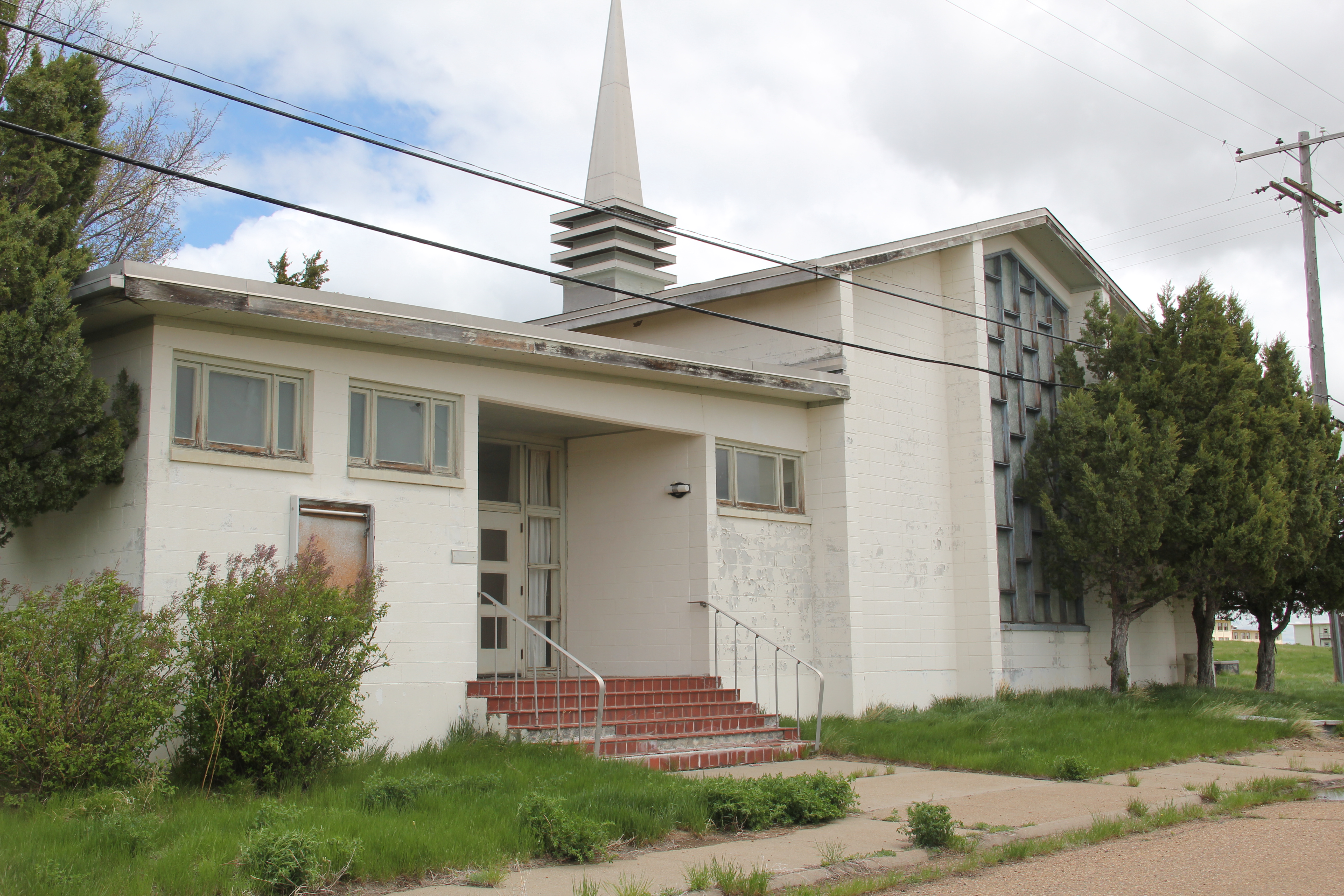 The Chapel
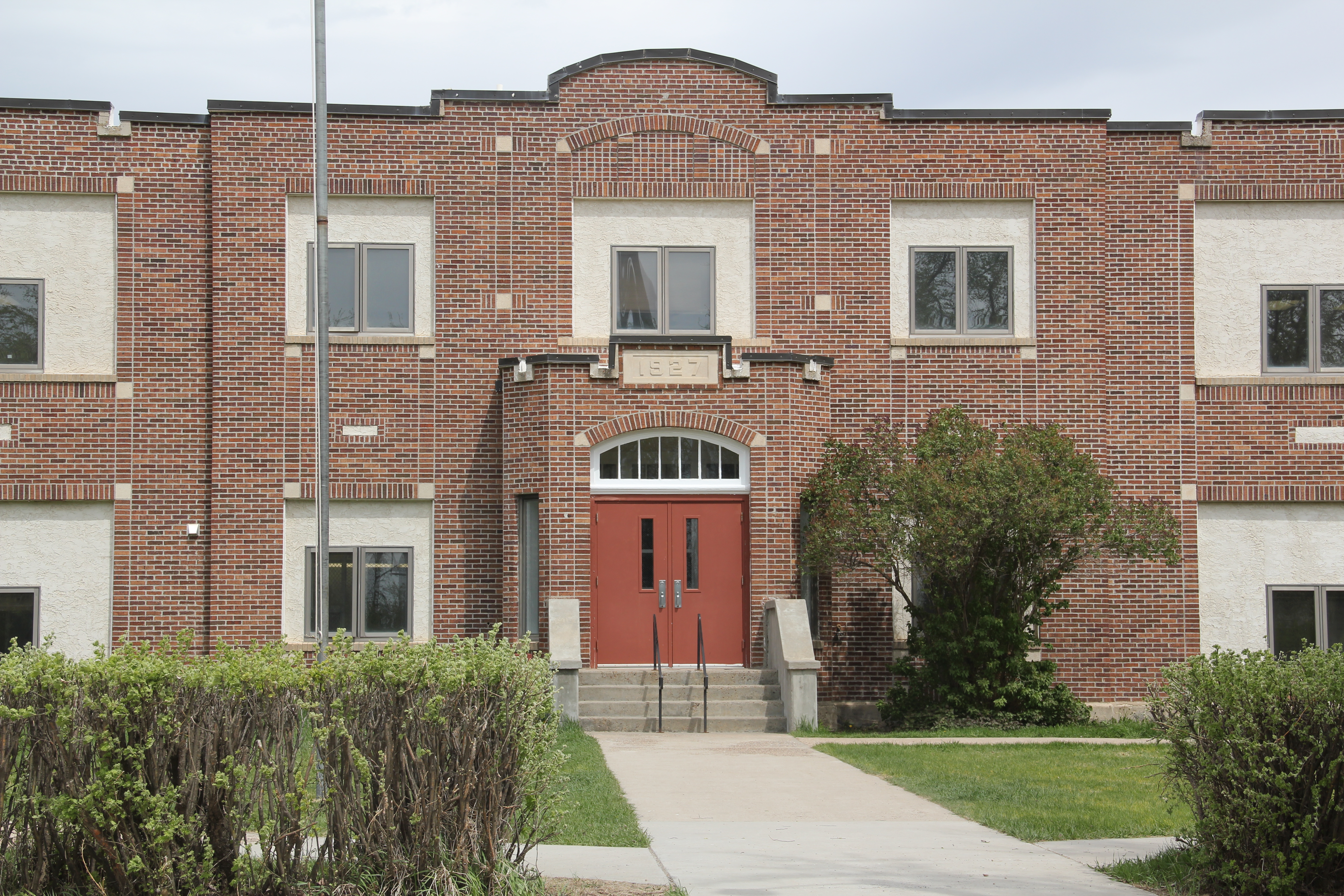
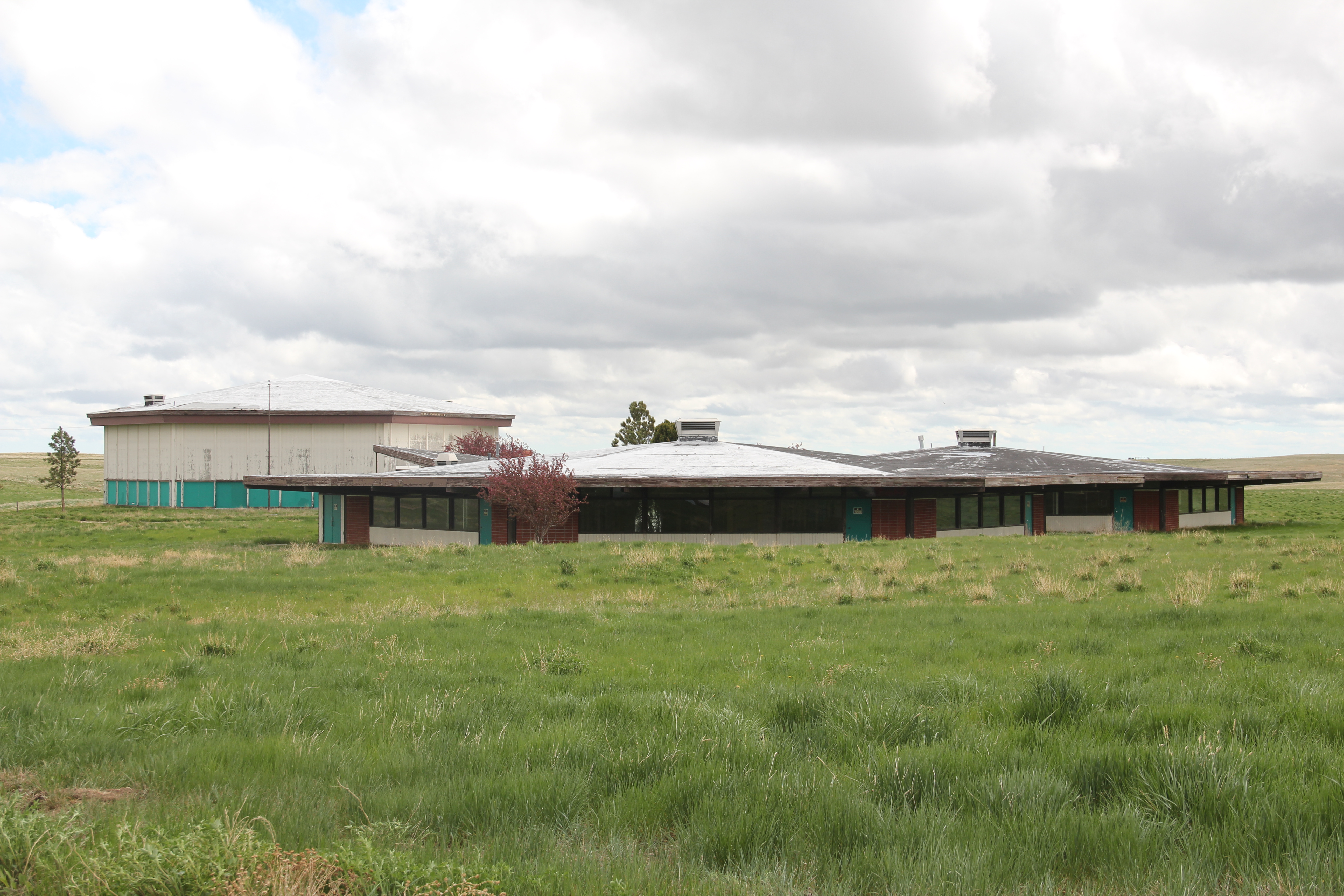 The school
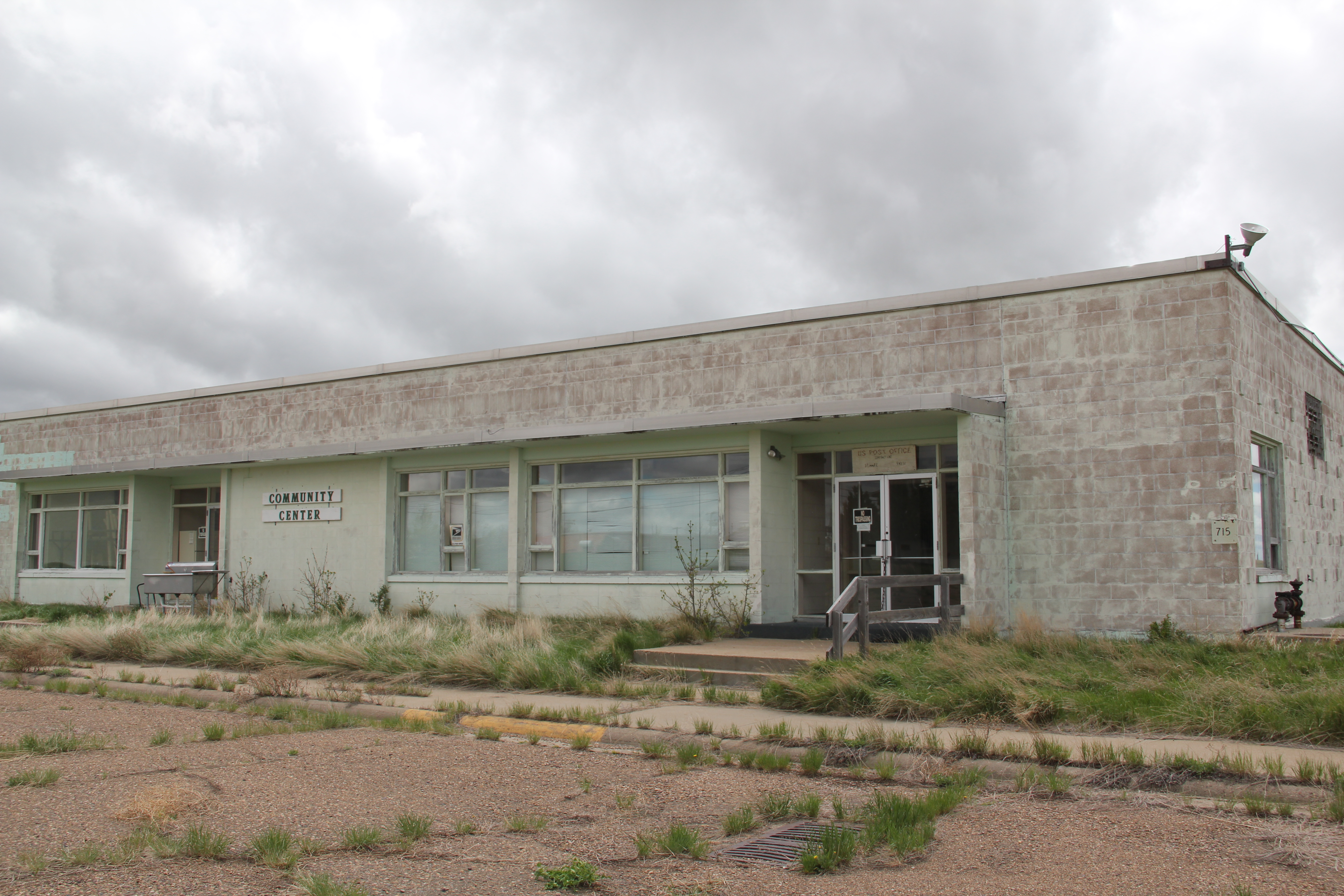 Post Office & Community Center
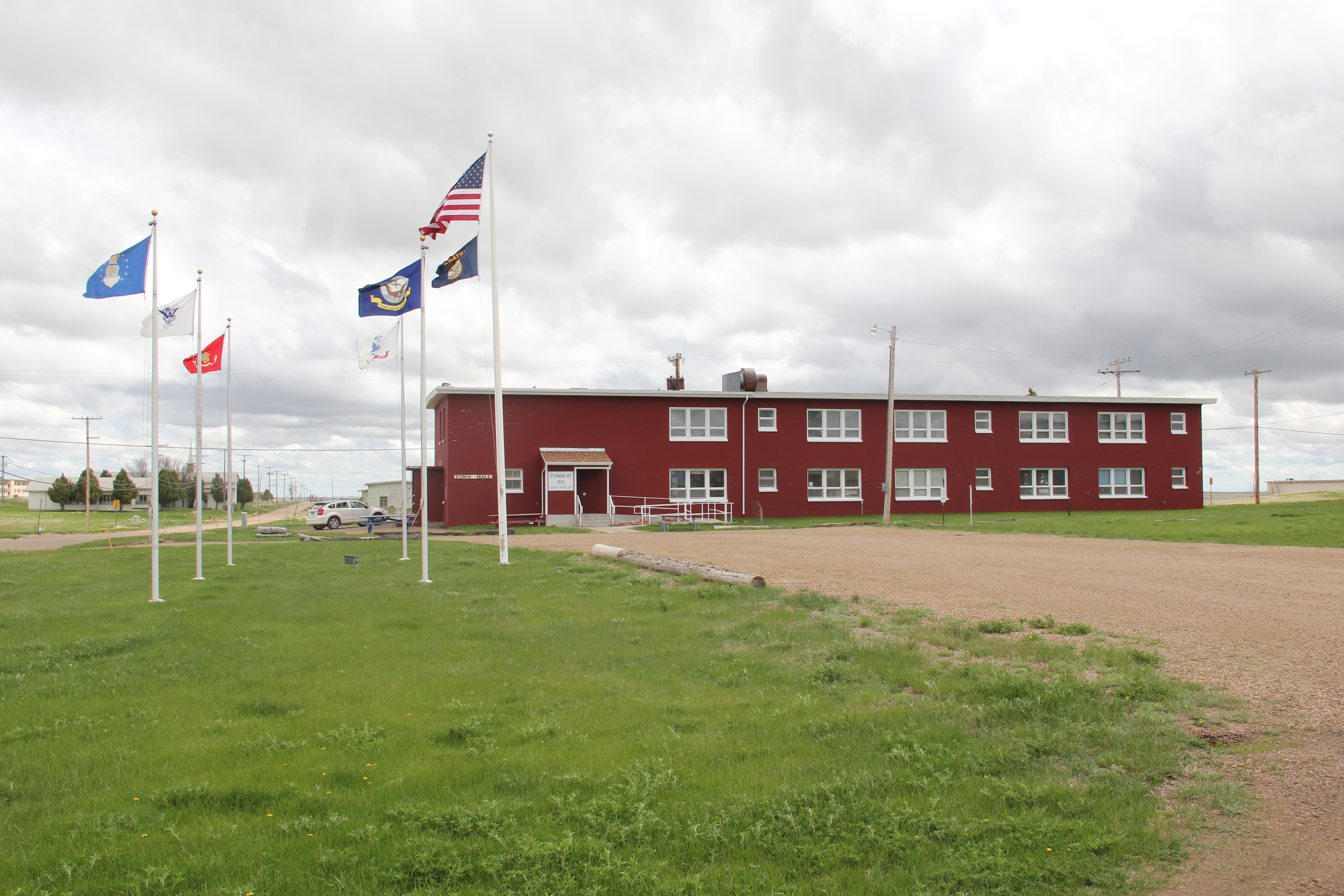
The 1980 visions for St. Marie were never achieved–although just over 200 people in 2013 had bought into the idea and and restored to one degree or another the slowly disintegrating homes. Most impressive to my mind was how respectfully they restored one of the buildings into City Hall–a statement of pride of what a few hundred people could achieve.
And that is what I found a few ago–a huge place largely abandoned but still with life. One in fact with some hope since there was new talk of a company buying the decayed place, rescuing homes, and turning it into the shelter for the oilfield workers of the Williston Basin, many miles to the east. Much had been lost in 30 years–how much more will survive the next 30 years? Will the fate of St. Marie be, in general, the fate of Cold War installations across the West?