Canton, a forgotten Missouri River town

Canton was one of the early Missouri River towns in what is now Broadwater County, Montana. Canton was never much of a place but it had enough people and vision to build one of the first landmarks in this part of the Missouri River valley, St. Joseph’s Catholic Church in 1875-76.

Listed in the National Register of Historic Places, the church served local residents from almost the beginning of the town’s settlement through the homesteading boom of the early 20th century. The Northern Pacific Railroad ran along the other side of the River, diminishing the importance of Canton but never really indenting the significance of the church as a territorial-era landmark and as a compelling example of vernacular church architecture. Regularly held services continued until 1954.

The church faces the River (now Canyon Ferry Lake)

It really is a splendid bit of craftsmanship. The Gothic influenced bell tower entrance dates to the homestead boom of the early 20th century while the rounded arches over the windows well express its late 19th century roots.

Determined residents saved the church from destruction in 1954. They had the building moved to this place, higher ground away from the lake and lakeside developments created by Canyon Ferry Dam and Reservoir. The grand Bureau of Reclamation project totally reshaped Broadwater County. The town of Canton was erased but St. Joseph’s remained.

Thirty years later when I stopped at the church in 1984, it was ragged and needed attention. Residents did that in the 1990s and ever since the church has stood as a quiet but imposing marker of the territory days of Montana.

The Silos of Canyon Ferry Lake, then and now

As I traveled through Montana in 1984 documenting the state for its historic preservation planning, I photographed all sorts of structures. None were more compelling than the 40-foot plus brick silos between the west side of Canyon Ferry Lake and US Highway 12/287 north of Townsend.

The Silos on Canyon Ferry Lake, 1984

At that time, they were the only remnants of the ranching operation of A. B. Cook, constructed about 1920 as he and his ranch hands were raising sheep along a stretch of the Missouri River. The construction of Canyon Ferry Dam in the 1950s forever changed that landscape, but the silos were an important reminder of the earlier past.

The Silos on Canyon Ferry Lake, 2021

Thirty-seven years later, the Silos are no longer just lonely reminders of a sheep ranch. They are the landmarks for a lake-focused suburb of Townsend. The community embraces the brick structures and has recently carried out preservation and restoration. May The Silos remain a landmark along this federal highway for generations to come.

Canyon Ferry and the transformation of the Missouri River Valley

IMG_7214

Canyon Ferry Lake is the third largest in Montana.  A good part of it lies just east of Helena, the state capitol, while the bulk of the lake stretches southward into Broadwater County.  Living in Helena during the 1984-85 state historic preservation plan survey, and often driving U.S. 287/12 which parallels the lake, you would think that the lake and its history would have played a major role in that initial plan.  Such was not the case–rarely did I or anyone else give it much of a thought.  Canyon Ferry Lake in 1984 was just 30 years old–it was not “historic.”

IMG_7213


But its historic impact can’t be ignored.  As part of the massive federal plan to conquer the Missouri River, the Pick-Sloan Flood Control Act of 1944 was justified by wartime conditions–it would create new sources of hydroelectric power–but actual construction did not get underway until the later 1940s and 1950s.  Historians have studied the act’s disastrous impact on Native American tribal lands in the west, and the environmental consequences of building some 50 dams on the Missouri and its various tributaries.

Broadwater Co MT 284 St Joseph Catholic ditch

For Lewis and Clark County and Broadwater County, you can see the relationship between the dammed Missouri and irrigation, as shown above along Montana Highway 284, and you can find remnants of how the project displaced towns, landmarks, and people along the length of the river. No longer was the Missouri the river that the Corps of Discovery had traversed at the beginning of the 19th century.

Broadwater Co MT 284 St Joseph Catholic NR 1St. Joseph Catholic Church, perched now on a barren bluff facing the lake, was moved about 2.5 miles east to its present location in 1954.  Originally near the river in what was then known as the Canton Valley settlement, the church building is one of the state’s oldest, dating to 1874-1875 and is listed in the National Register of Historic Places.  The proud Gothic styled church is the remnant of one of the valley’s earliest settlements.

Broadwater Co St Joseph Catholic 6

Not far from the church is another remnant of the early 20th century settlement boom during the early 20th century homesteading era after the creation of the county in 1897.  Located along Montana Highway 284 this one-room school is typical of the type found throughout the state from 100 years ago, as adaptive by communities and school boards with the small gable-end extension creating storage space and a barrier between the cold winds of the outside and the inside of the classroom itself.

Broadwater Co MT 284 school

These vernacular buildings and landscapes compare starkly with what the U.S. Corps of Engineers built at Canyon Ferry in the 1950s.  It is a Colonial Revival styled federal village–an architectural choice wildly out of step with regional traditions, and a reminder to anyone that here was the federal government, in the midst of the Cold War, placing its imprint on the land.

Lewis & Clark Co Canyon Ferry USBR 3 - Version 2

In 1984-1985 I ignored this new public landscape of a school, administrative building, work buildings, and village.  Thirty years later, of course I see Canyon Ferry as a very distinct historic district, symbolic of the entire Pick-Sloan project and a significant example of an architectural aesthetic from the U.S. Corps of Engineers.

IMG_7209

IMG_7208

IMG_7207

The Canyon Ferry headquarters of the mid-1950s is not listed in the National Register but it could be–an evocative grouping of buildings that helps to document that 60 years we were assured and more than a bit arrogant in our power and mastery of technology.  We were convinced hat as we controlled the world, we could also control nature.

IMG_7212


Townsend: A Railroad Town on the Missouri River

IMG_9524

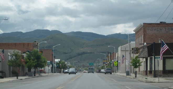
Townsend is a classic Montana crossroads town, with its historic heart, and primary commercial district, centered on the intersection of U.S. Highways 12 and 287.  But a closer look reminds you of the town’s origins as a railroad town, part of the Northern Pacific route, as it moved westward from Bozeman to Helena, Montana, along the valley of the Missouri River.  The town’s layout is a good example of a T-town plan, with Front Street (now U.S. 287) forming the top of the “T” while Broadway (U.S. 12) forming the stem, as shown above.

IMG_9529

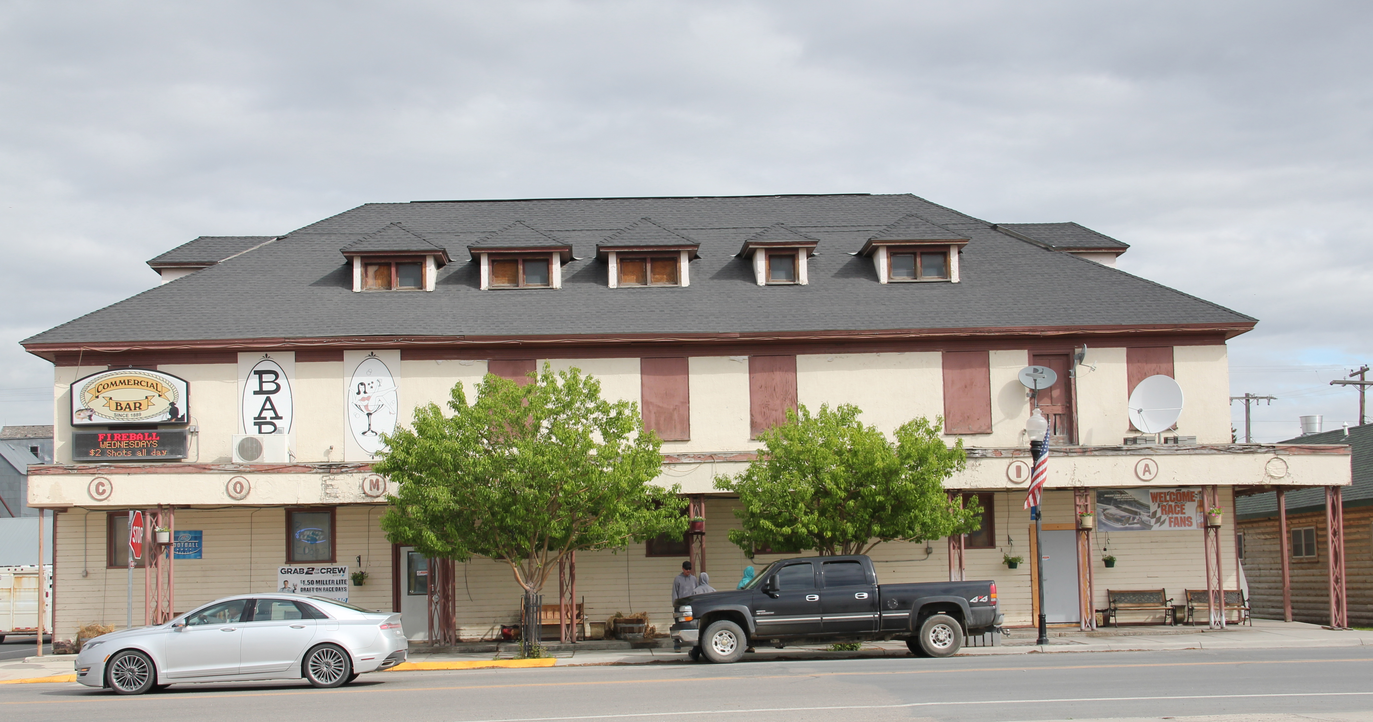
Grain elevators and other light industrial and transportation-related buildings the lots between the railroad tracks and Front Street.  At the corner of the highway junction is one of the town’s oldest buildings, the Commercial Hotel of 1889, which still operates today as

IMG_9528

a bar and restaurant.  Historically this large two-story frame building, with hipped roof dormers creating even additional rental space under the roof, would have been an attraction for travelers and business people looking for a place just off the tracks, or later the highway. It is among a handful of late 19th century railroad hotels left in Montana.

IMG_7092

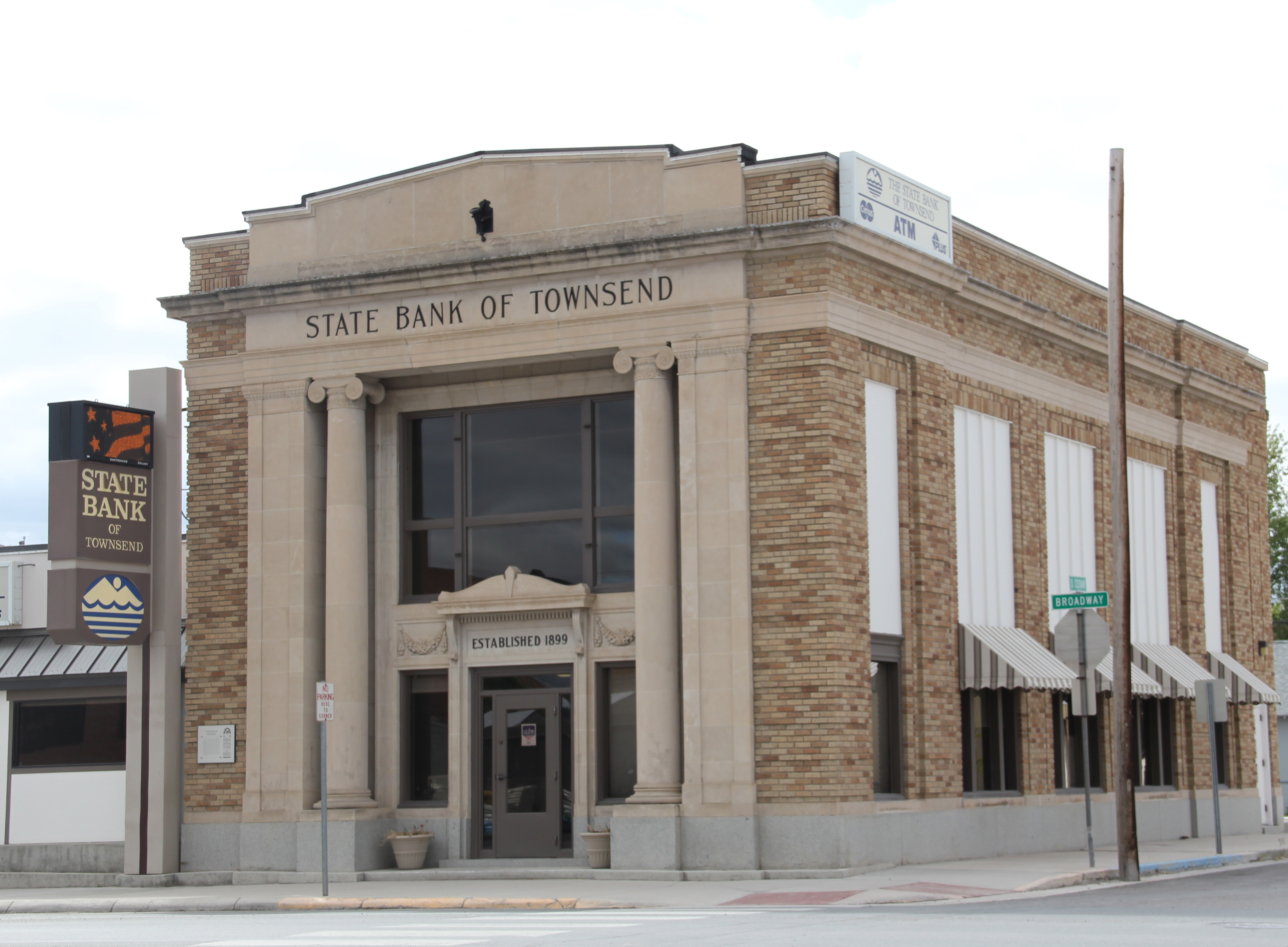
Broadway also had its historic landmarks, especially the neoclassical-styled State Bank of Townsend, which is listed in the National Register of Historic Places.  Dating to 1918, the building’s architect was the Albert Mooreman and Company firm from St. Paul, MN. The flanking two-story classical columns root the yellow brick building to its prominent corner lot–the bank’s survival into the twenty-first century is also a rarity in rural Montana.

IMG_7111

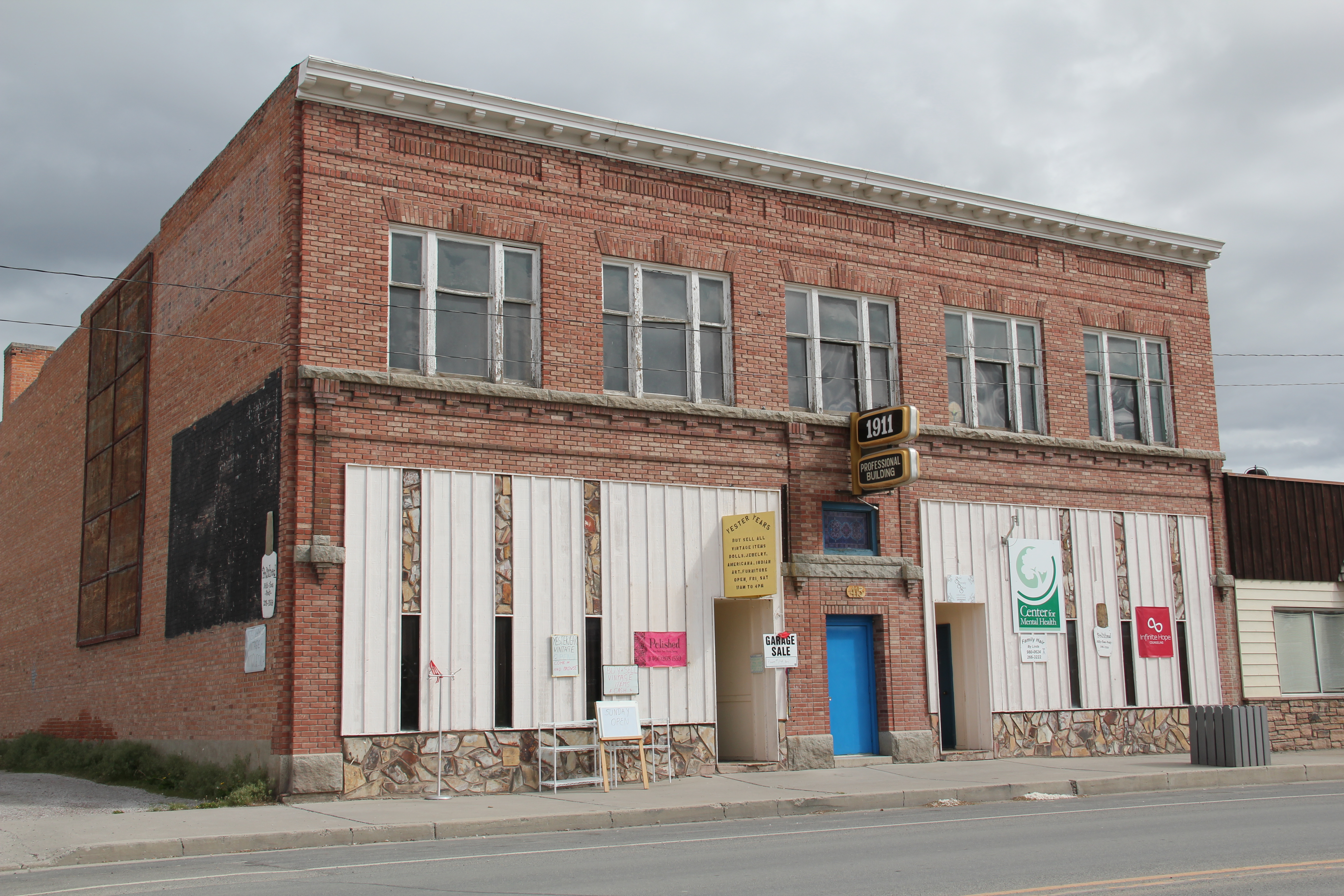
Broadway also has its mix of one- and two-story business buildings, from the American Legion and another Montana Mint Bar to the Professional Building of 1911.  Despite its proximity to both Helena and Bozeman, the town has retained its commercial vitality.

IMG_7107

IMG_7096

IMG_7112

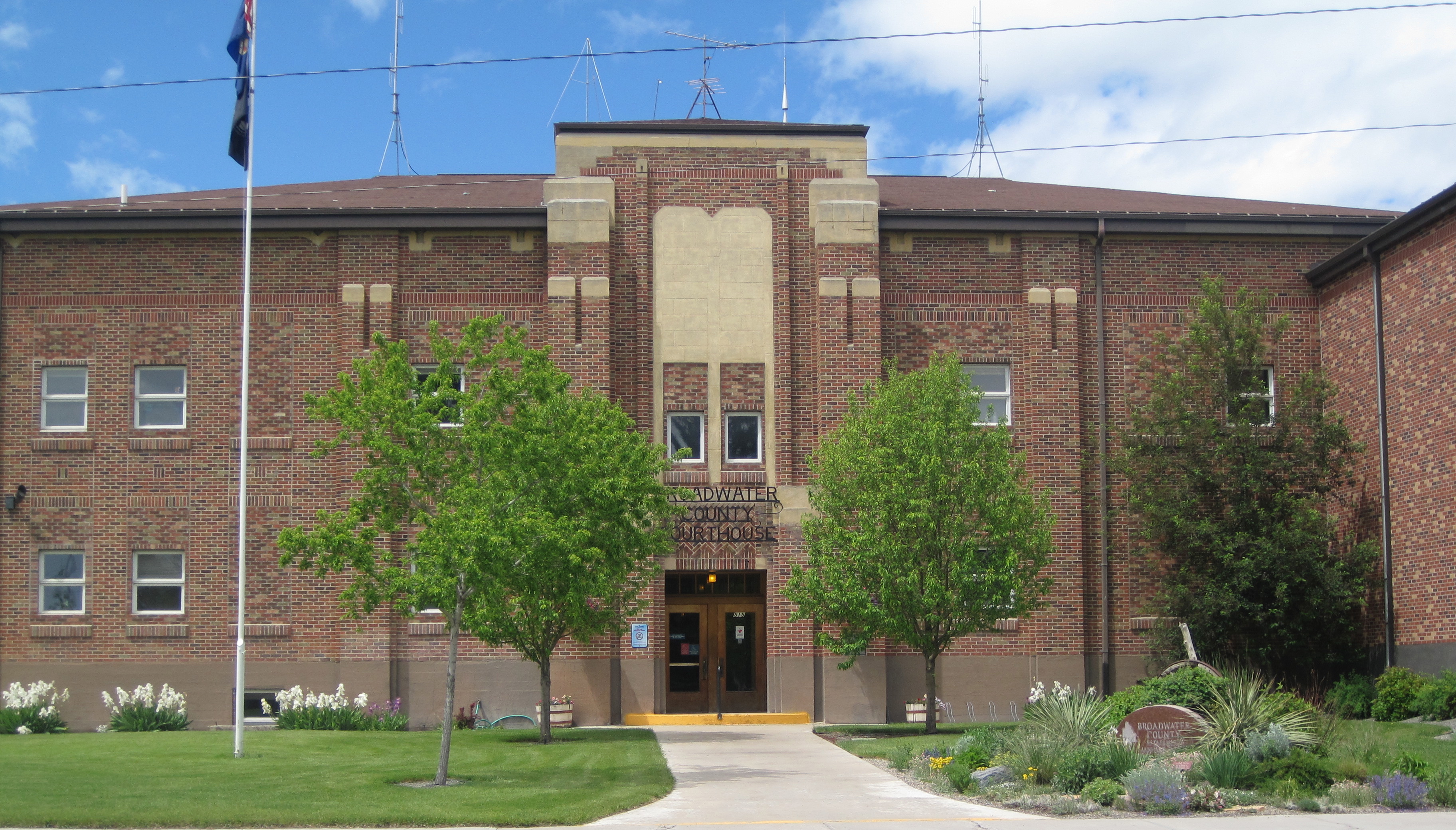
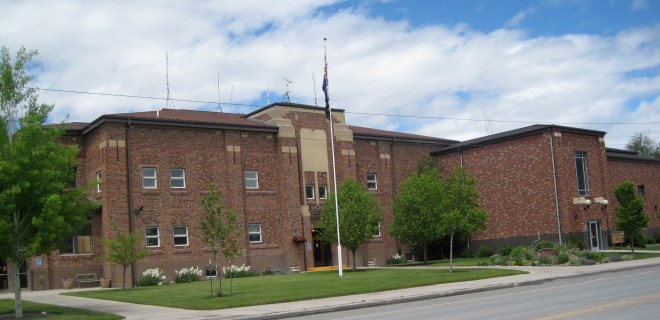
At the end of the commercial district is the Broadwater County Courthouse, a mid-1930s New Deal project that has expanded significantly in the three decades since I carried out the original historic preservation plan survey in 1984-1985.  Its understated Art-Deco styling fits well its highway location.  And as to be expected in a “T-town” plan, its location at the end of Broadway, meaning the end of the stem of the “T” reflected well the comparative power between local government and the corporate power of the railroad.

IMG_9521

IMG_9522

Being a resident of Helena from 1981 to 1985, I passed through Townsend many times on my way east since US 12 was a favorite trek.  I noticed these major landmarks and the patterns of railroad town plans but I must admit that I never strayed off of either Front Street or Broadway, and that was a mistake.

IMG_7099

IMG_7103

IMG_7102

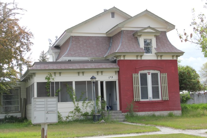
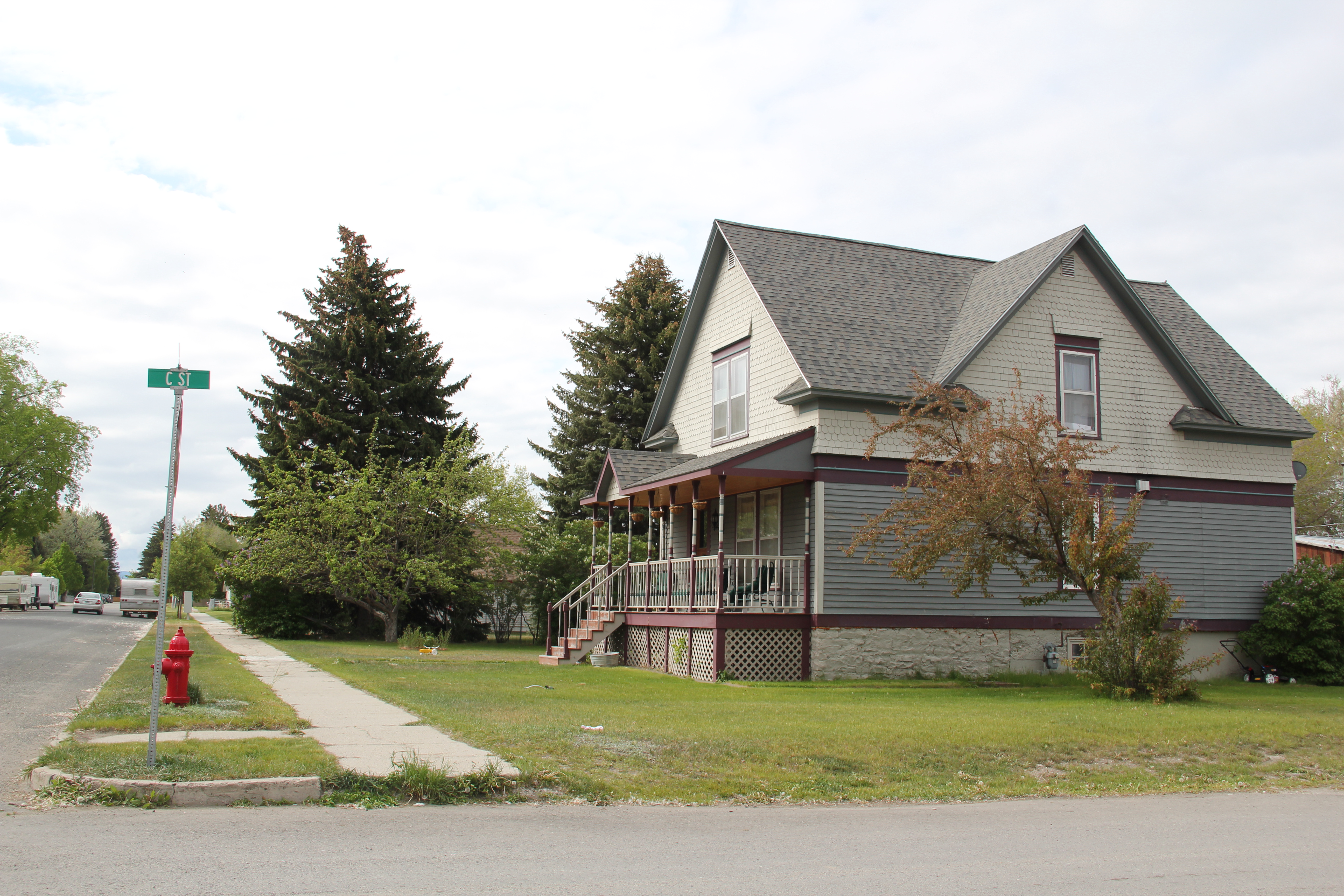
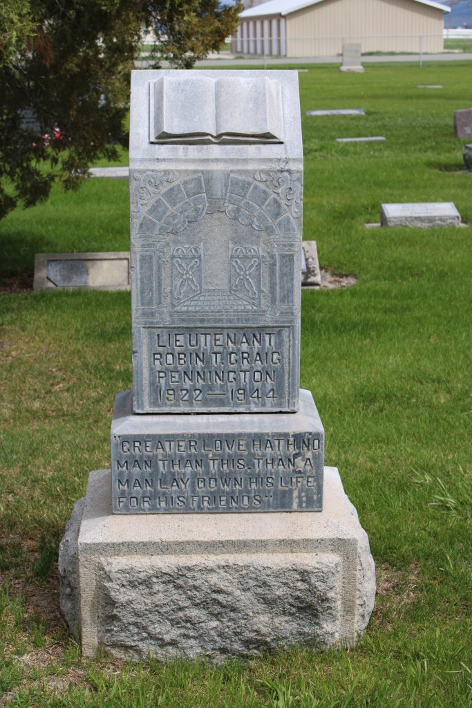
South of Broadway are several valuable late-19th or turn of the century Victorian-styled residences, some of which have found their champions and have been restored while others need that champion to see the potential jewel underneath decades of change.  One historic neighborhood school building–now a Masonic lodge–also remains, along with many different churches, most of which date to the second half of the twentieth century.

IMG_7105

North of Broadway is a notable exception, the Victorian Gothic styled Townsend United Methodist Church, again an important survivor from the town’s opening generation of history.

IMG_7110

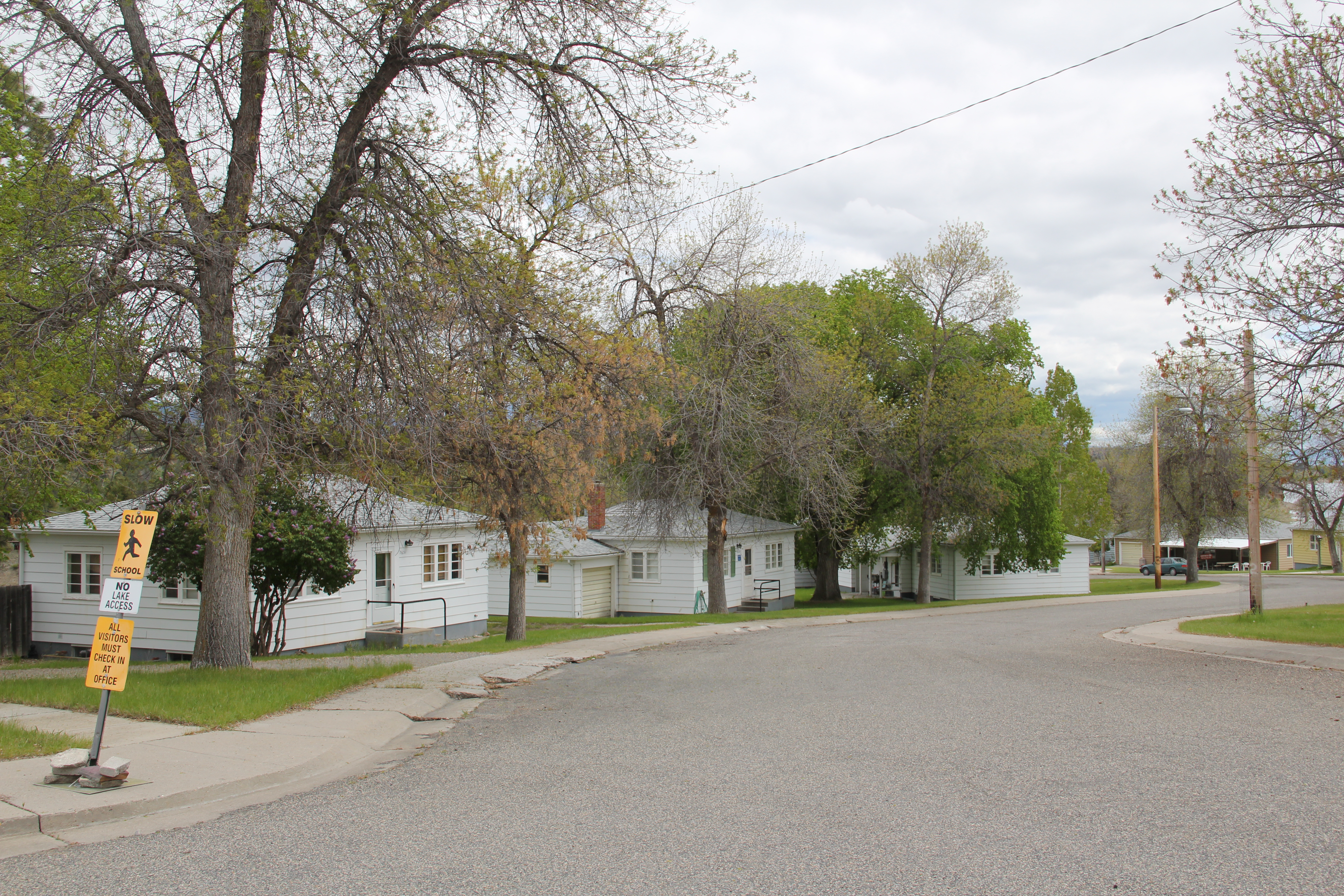
Townsend also had a set of interesting bungalows from c. 1920 on U.S. 12 as it moves east of the courthouse.  These are made of concrete block, shaped to mimic stone masonry.  It was a popular technique to give a house a solid, permanent look, and you tend to find it more in the west than in the east.  Of course, Townsend was not far from the major concrete works at Trident–a topic for a later posting.

IMG_7119

IMG_7120

Last but not least Townsend, and Broadwater County, has an active historical society and local museum, established during the American Bicentennial in 1976–and expanding ever since at its location behind the county courthouse.
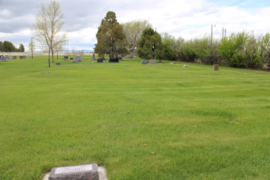
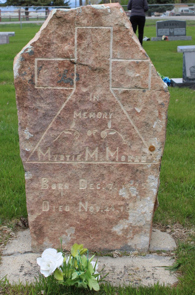
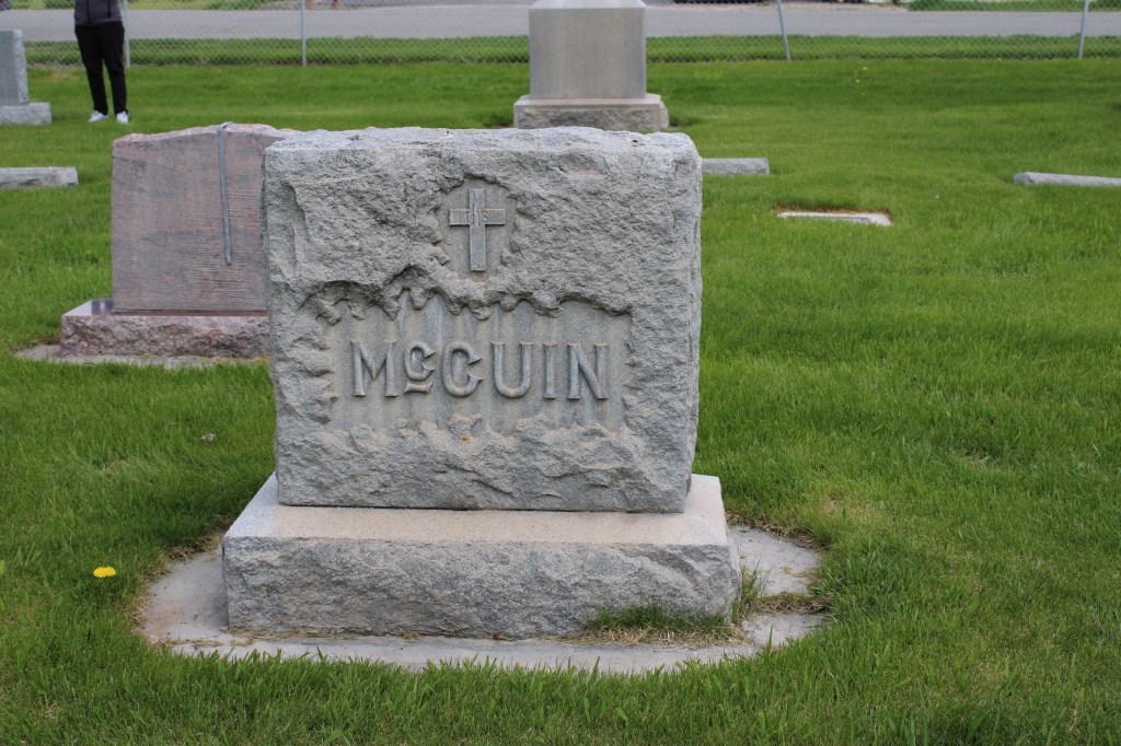
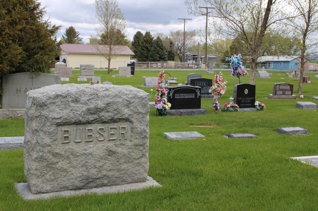
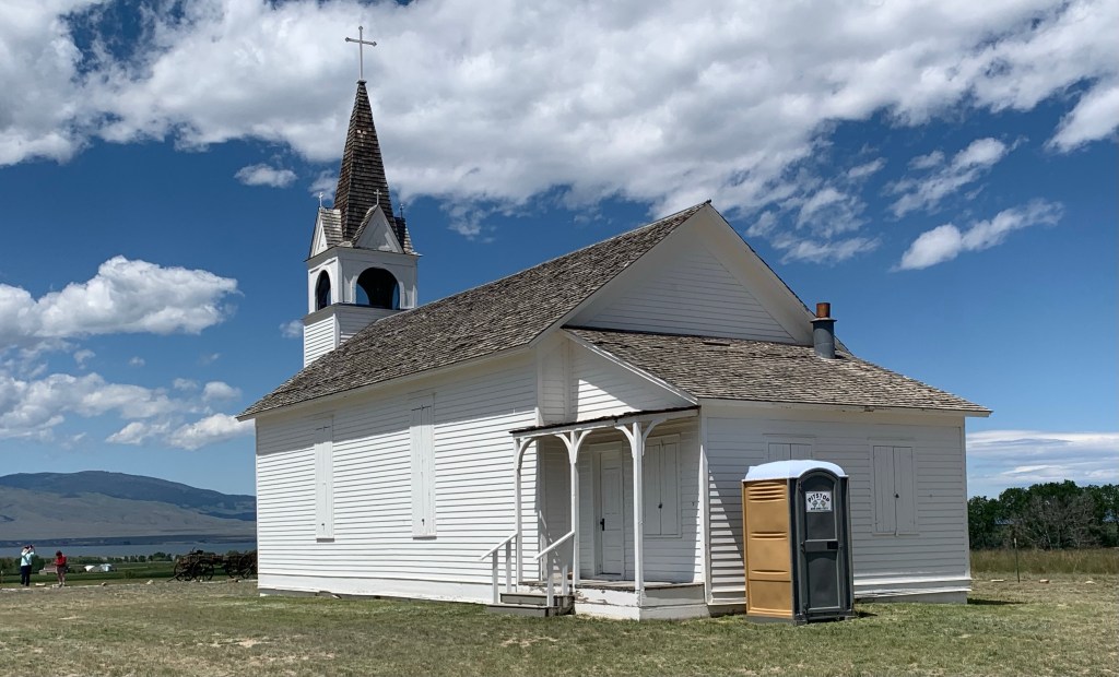
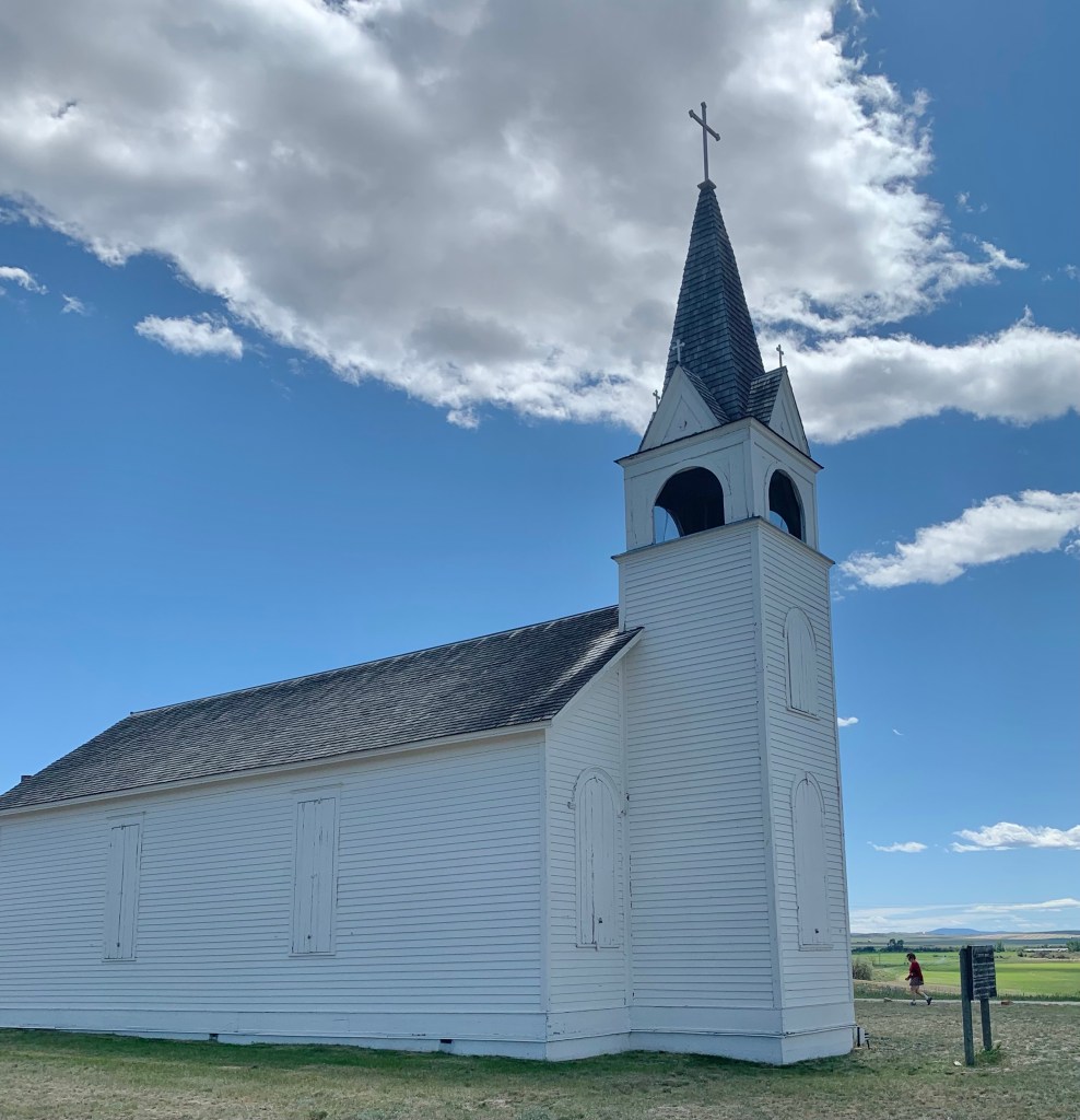
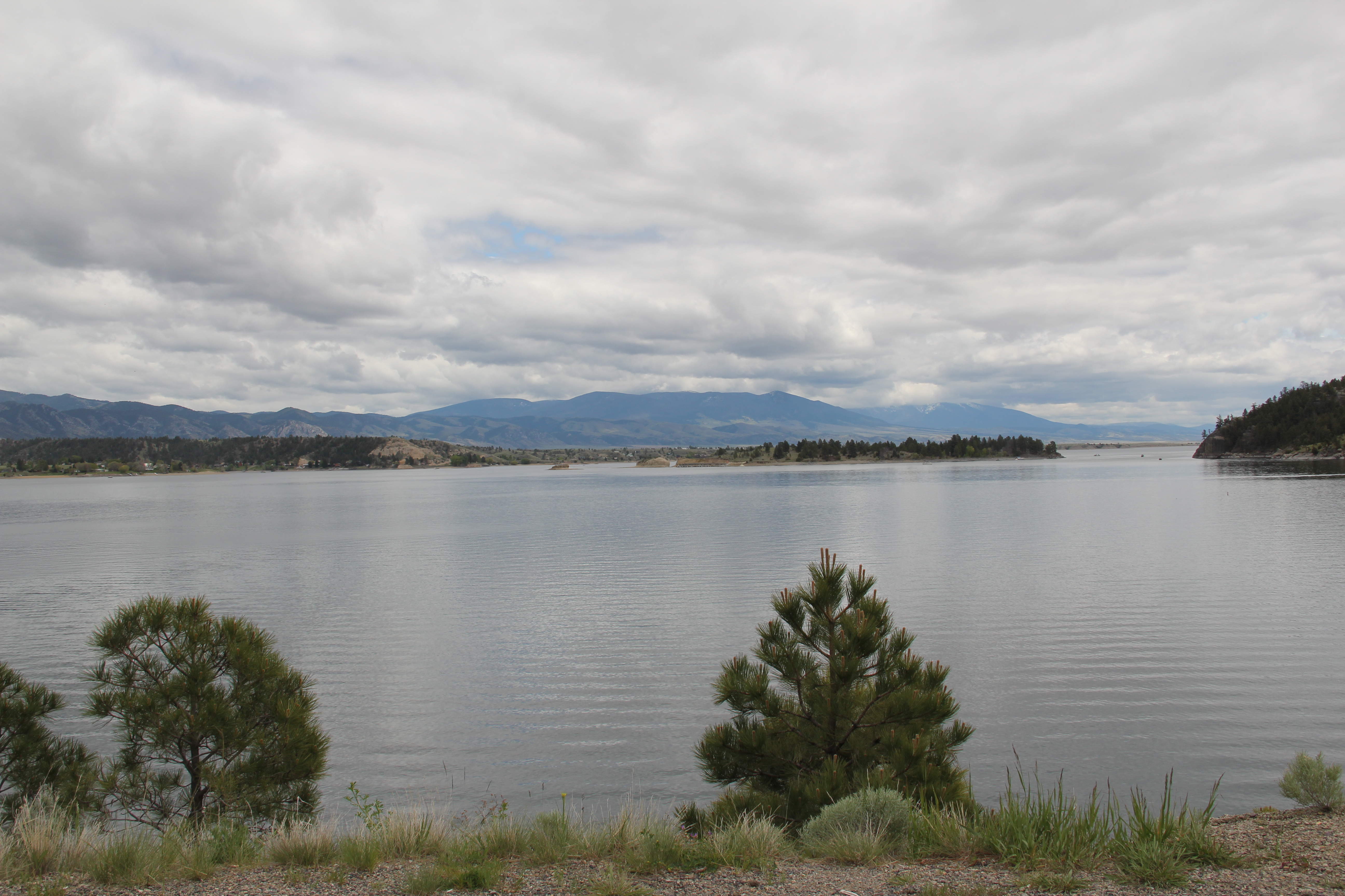
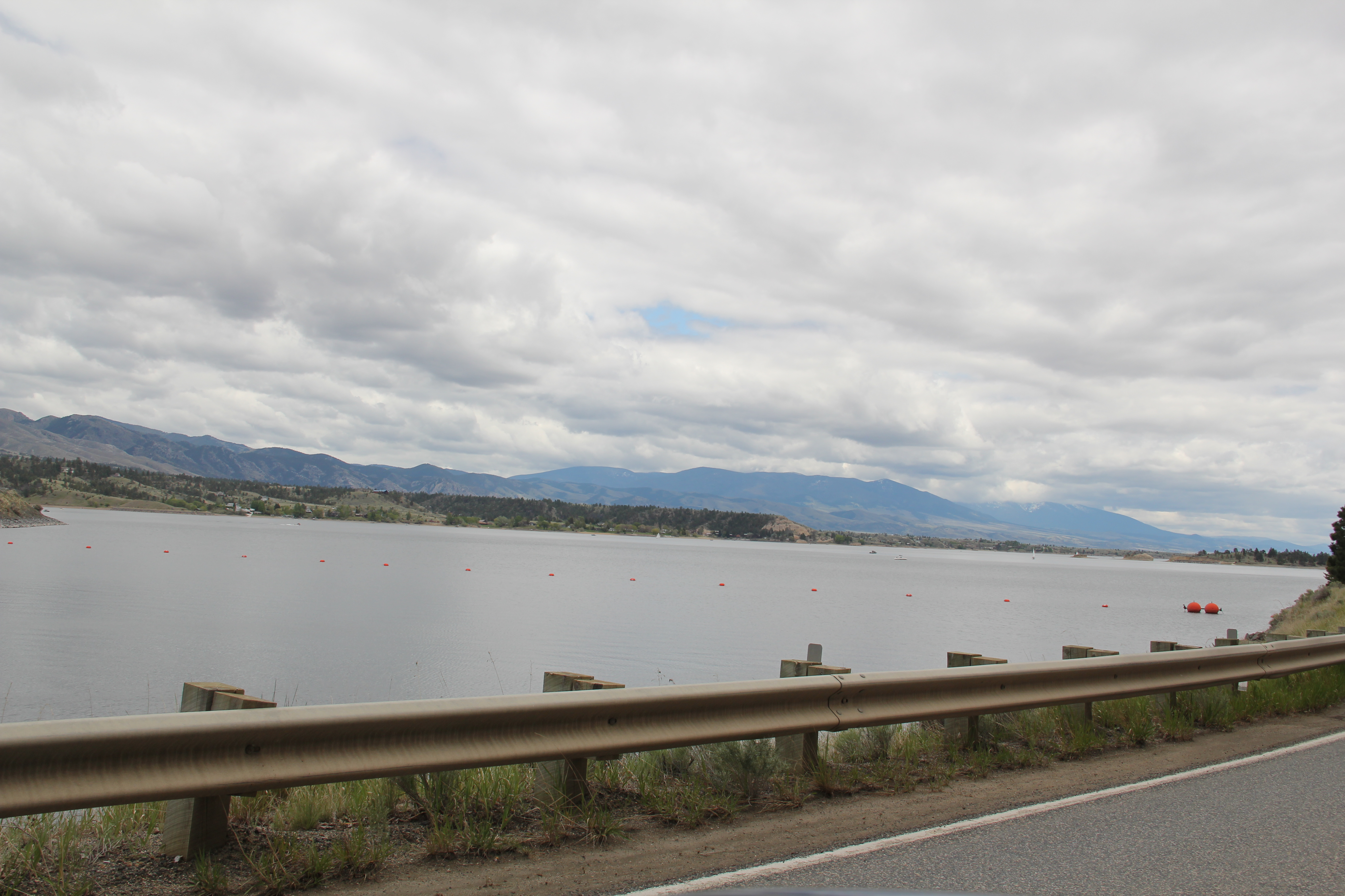
IMG_7123