Thirty years ago geographer John Hudson wrote a series of articles and a book on the topic of “plains country towns,” addressing the landscape patterns he found among the railroad-established towns of the northern plains. Ever since Hudson’s concept of plains country towns has influenced how I look at the Montana’s small towns. Even in such river counties as Chouteau County where the Missouri River trade base of Fort Benton has dominated the county’s economy and population since the mid-19th century, you can still find the unmistakeable imprint of the railroad and the grain elevators that mark the presence of a town.

Earlier in this blog I have discussed Square Butte (above) and Geraldine. Today I want to review two other small towns, Highwood and Carter. Highwood is the largest, counting
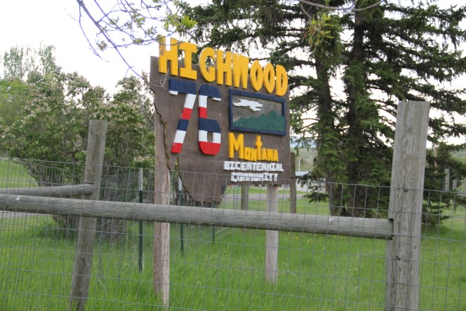
just about 175 people in the last census. Like most plains country towns, it has steadily lost population in the last 50 years. In fact this weekend’s Great Falls Tribune discussed how the Highwood High School was going to forge a co-op for sports with Geraldine so both schools could continue to have basketball, volley ball and 7-man football, played at this tiny field in Highwood.
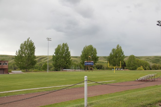
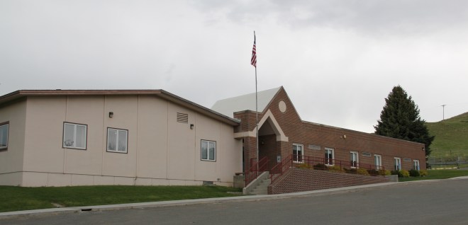
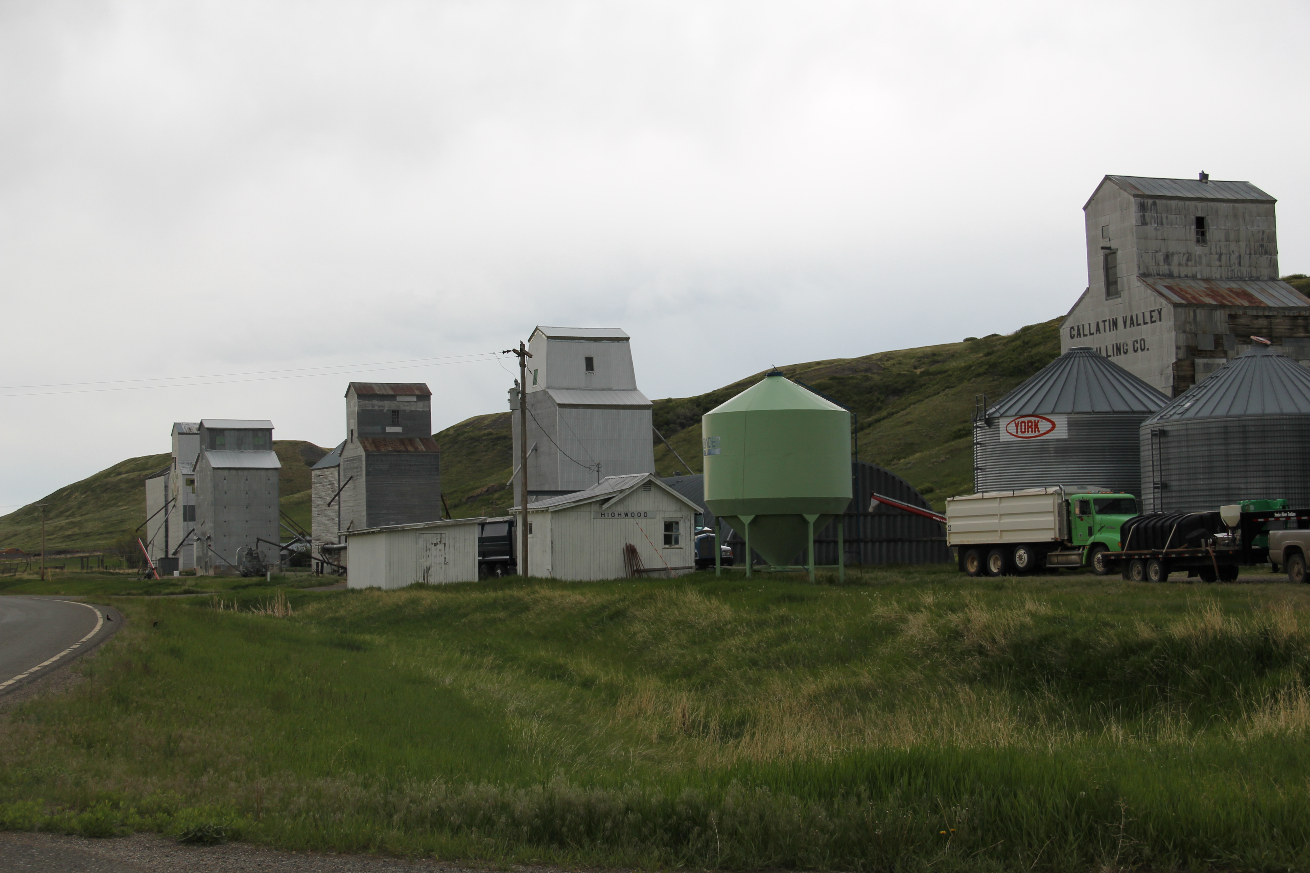
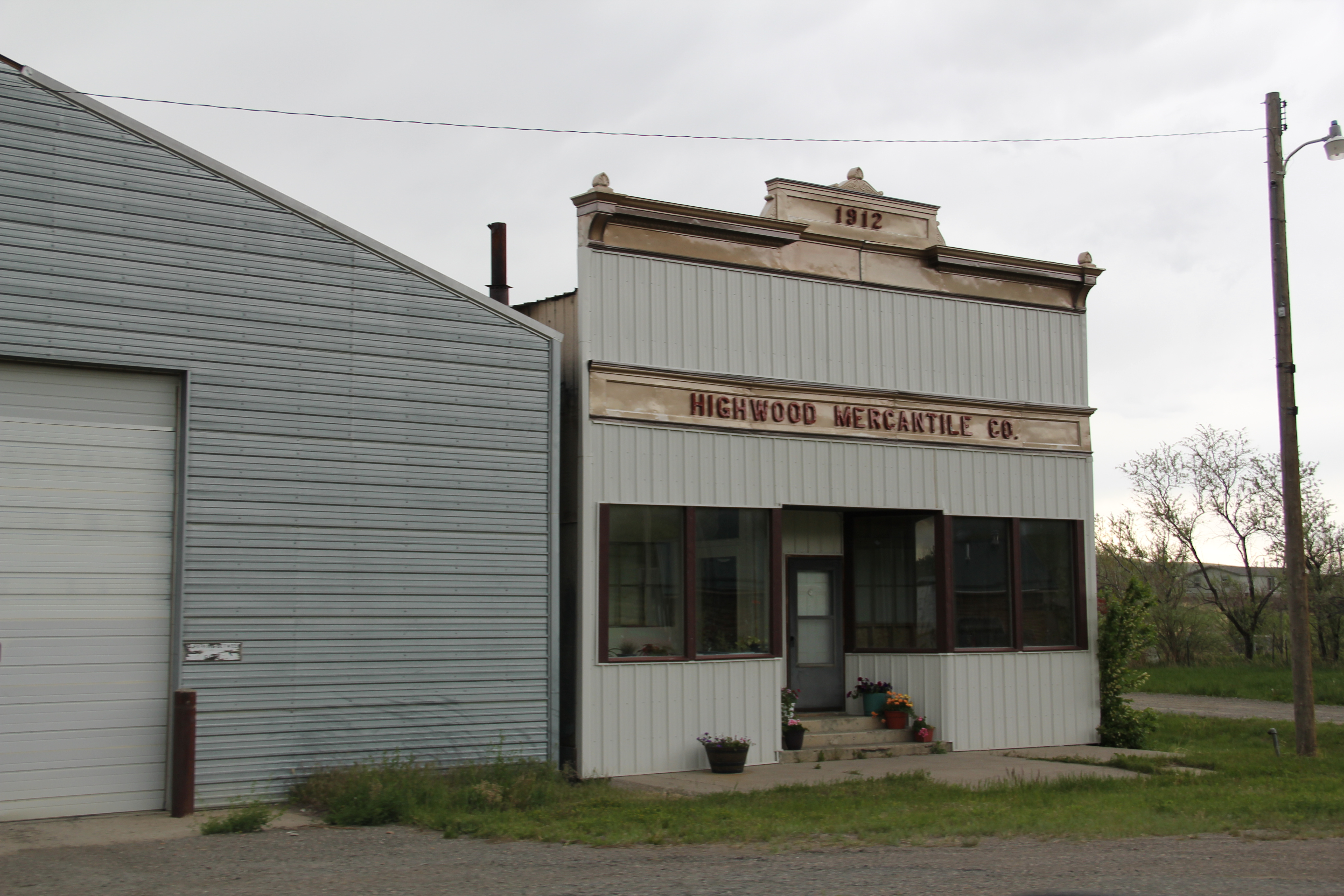
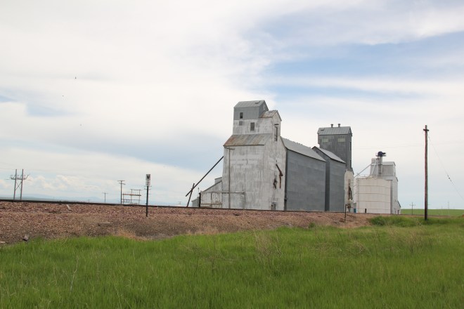
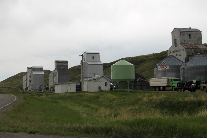
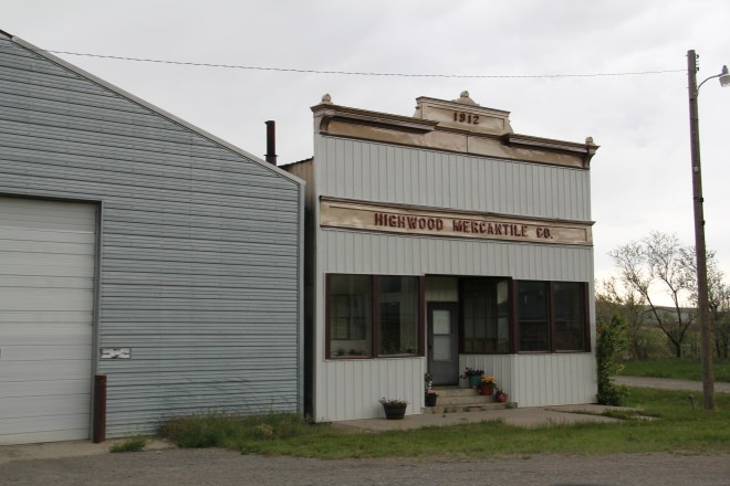
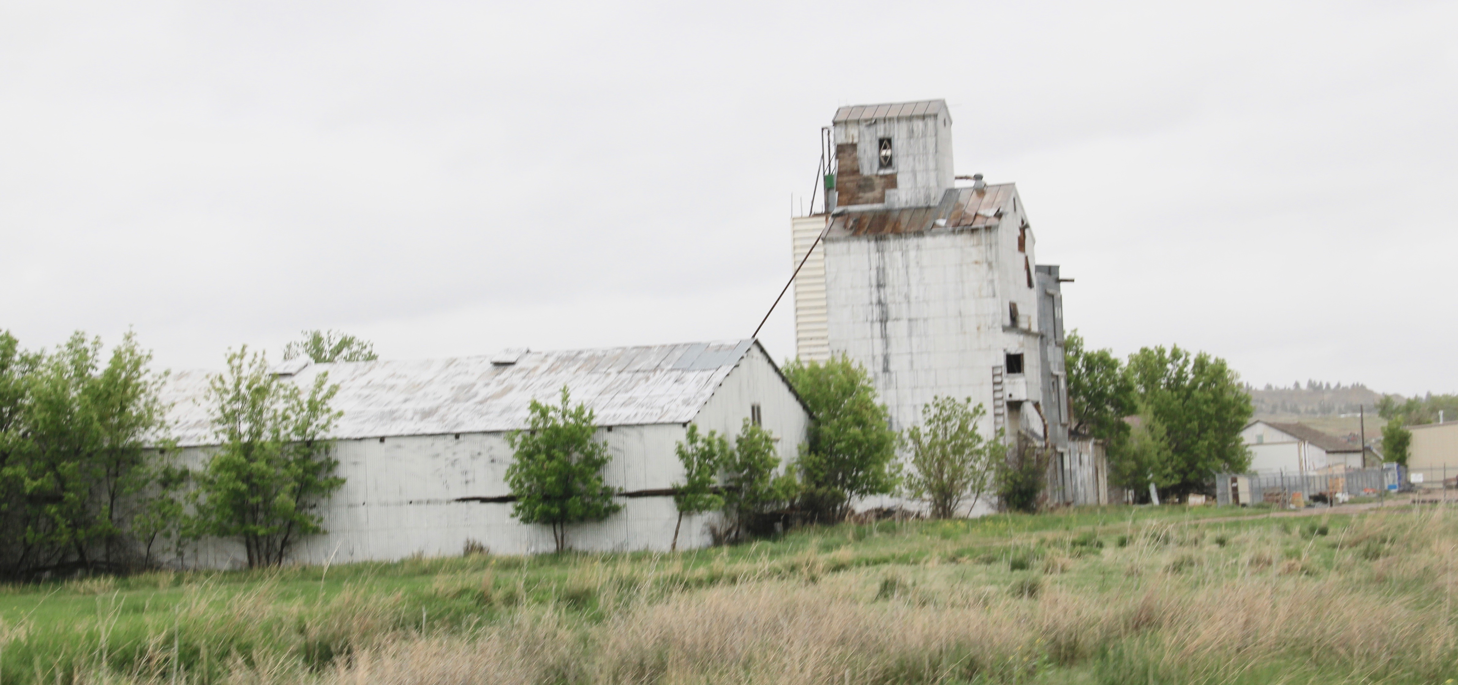
The Highwood School is no doubt the pride and center of this community, a place not often found by travelers nestled as it is in a gulch formed by Highwood Creek along Montana Highway 228. It began in the 1880s as cattle country but with the coming of the railroad in the 1910s t became an outlet for grains, as its set of tall elevators makes apparent. A small one-story false front building for the 1912 Highwood Mercantile Company also remains to mark the town’s railroad years.
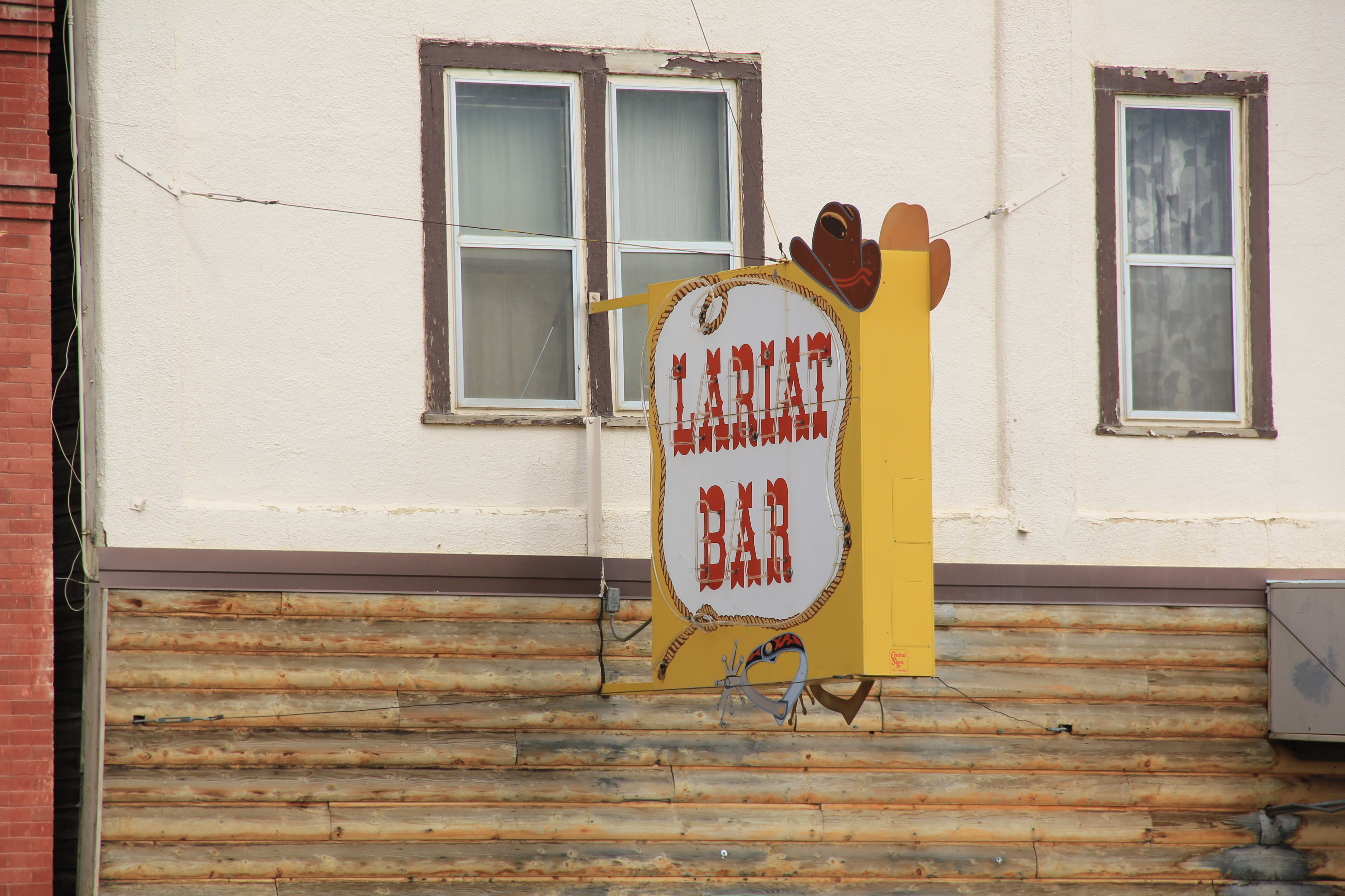
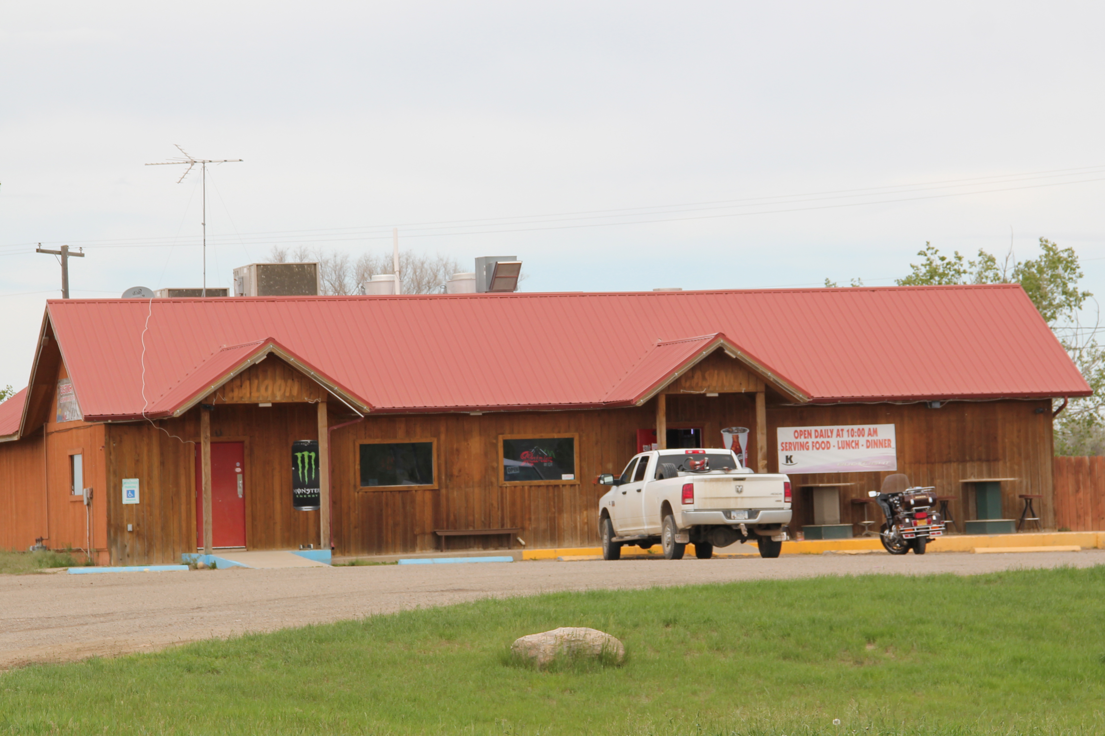
Carter has one-third the population of Highwood–only about 50 people in the 2010 census–but is better known to travelers due to its location along U.S. Highway 87 between Great Falls and Fort Benton. The Rocking K Bar is the roadside landmark but travelers
 should turn south and drive down into Carter proper since the town, despite its tiny number of residents, still has many of the community institutions that defined a proper plains country town of 100 years ago.
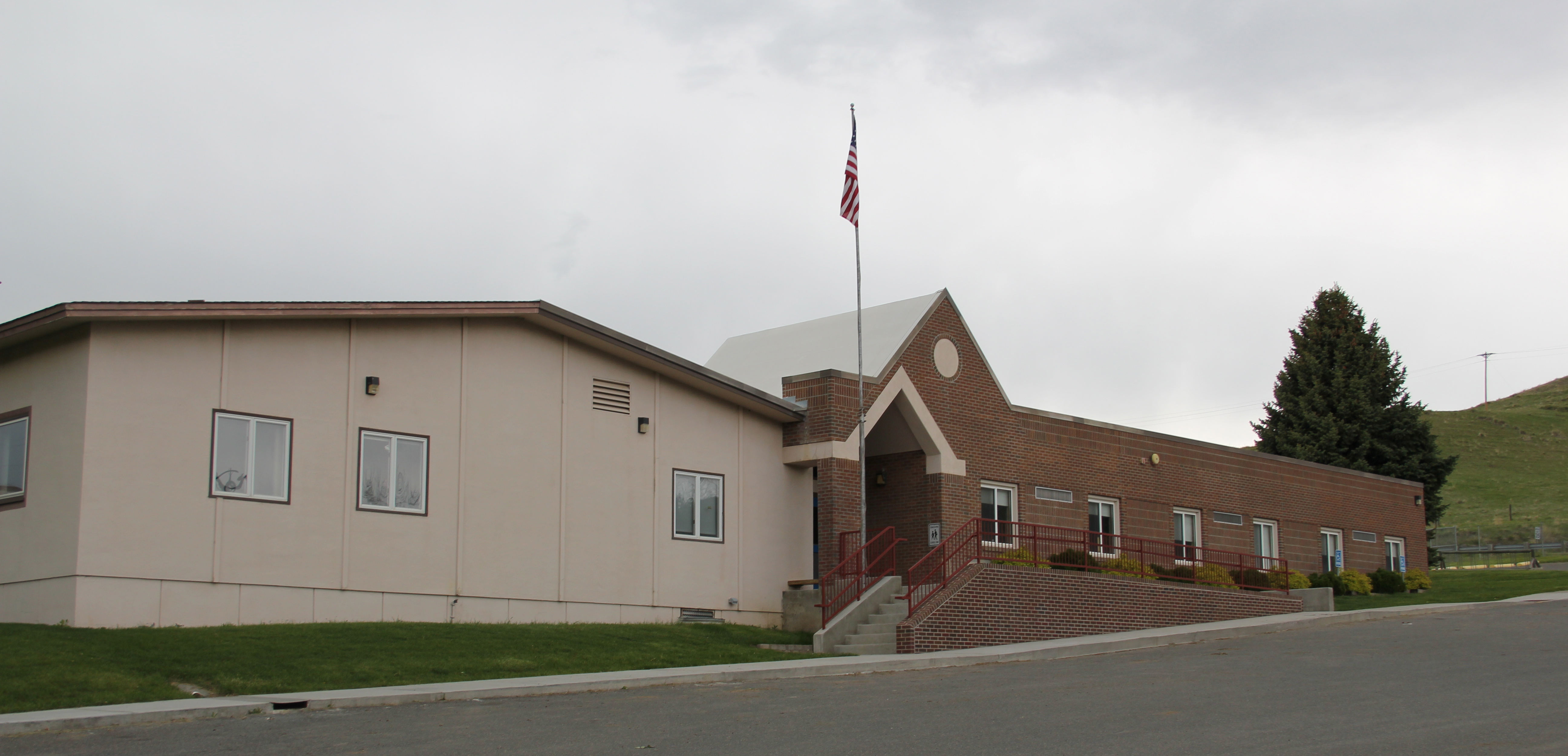
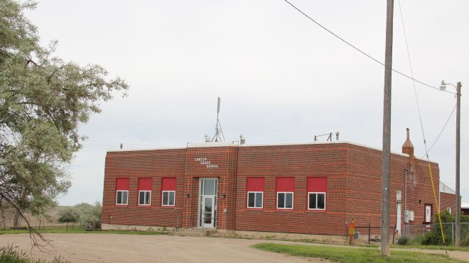
First, there is the still operating Carter Elementary School, probably the one institution that keeps the town alive–when country towns lose their school soon everything else goes too.
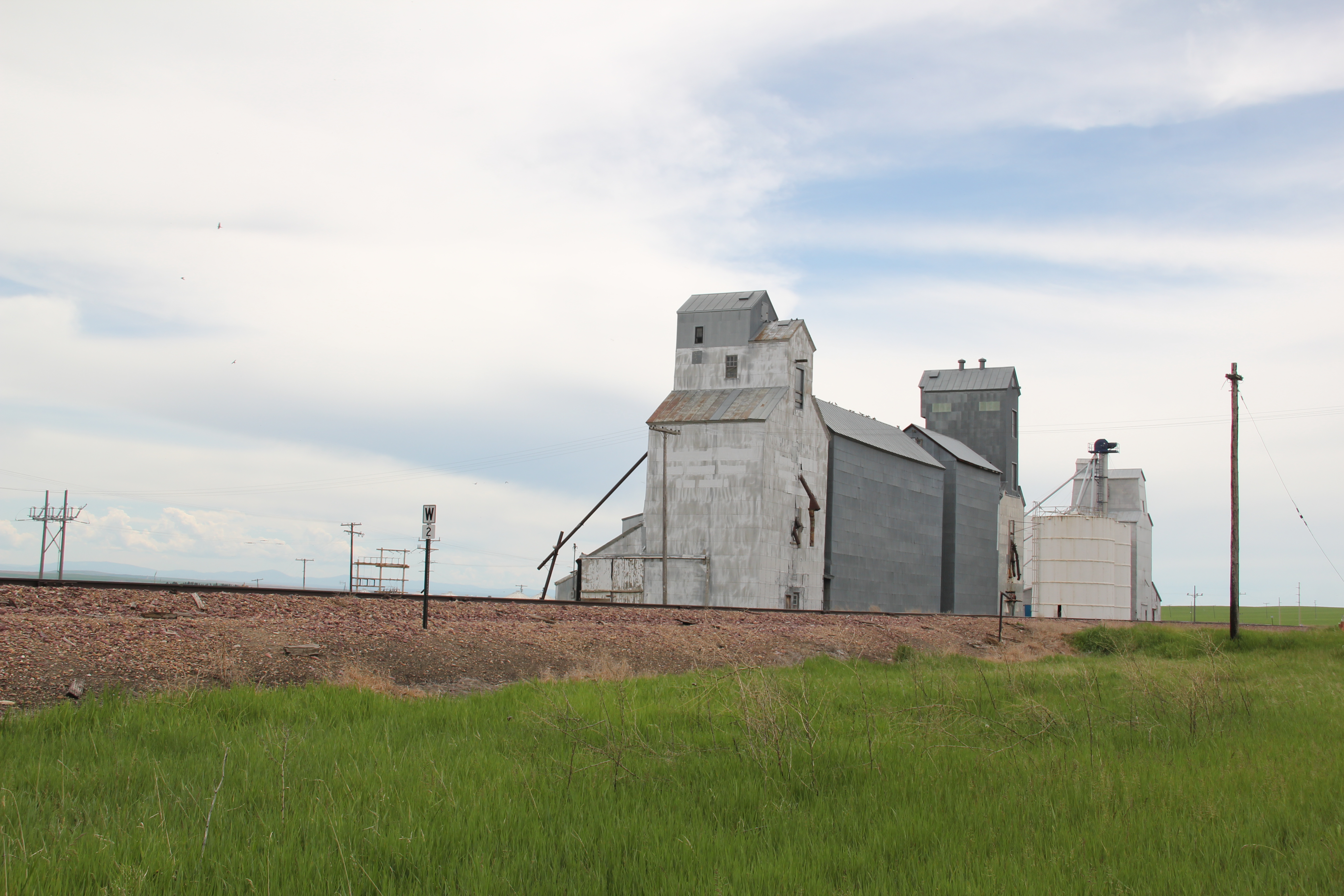
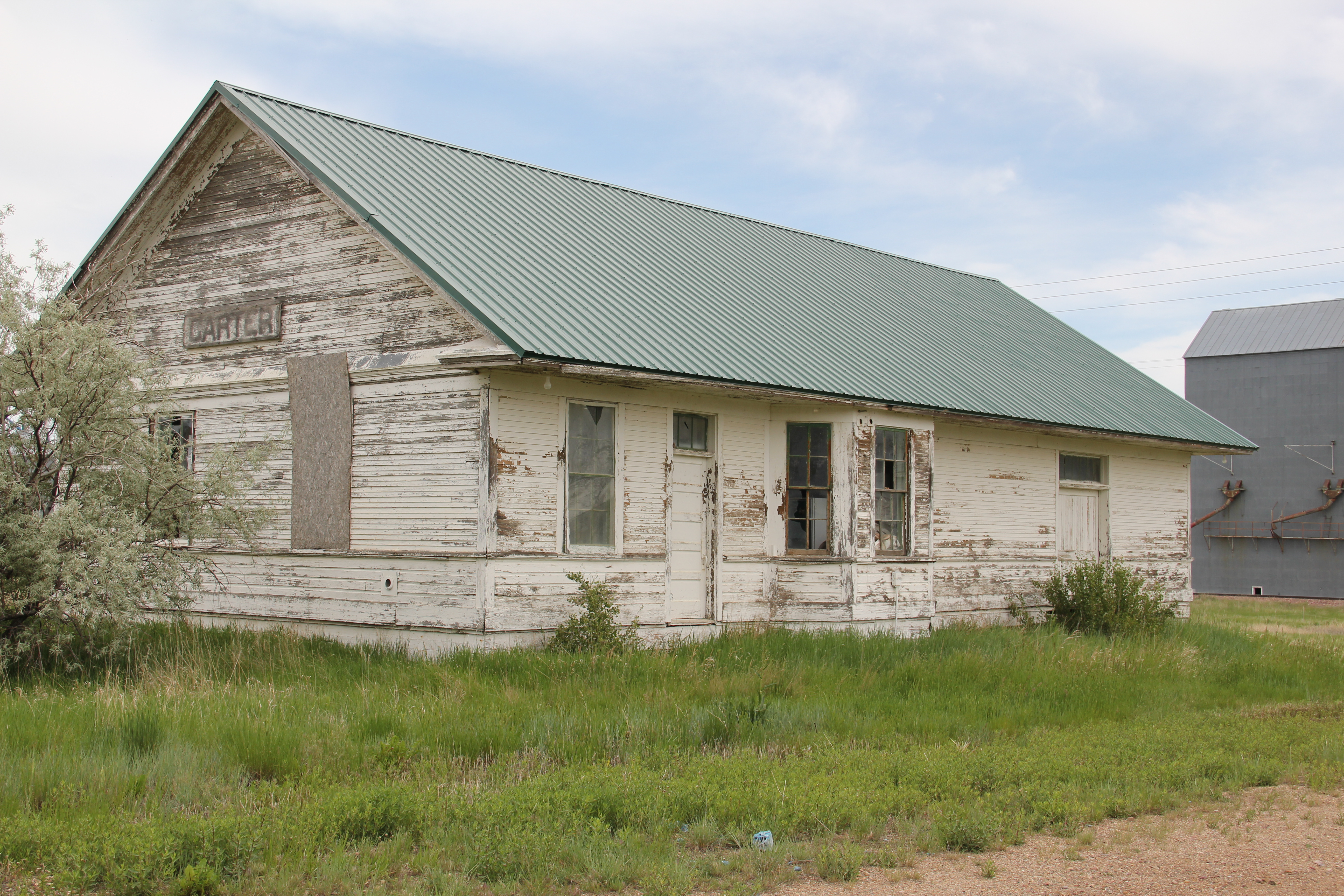
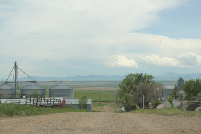
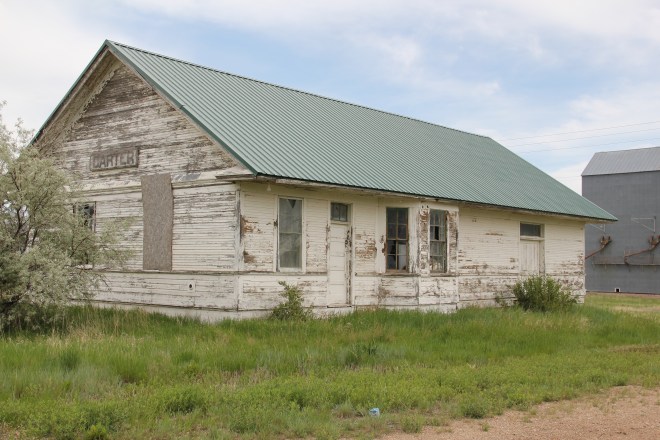
Next comes the tracks, railroad depot, and the grain elevators–while not public institutions they do give the community commercial lifeblood, and as long as the trains roll by there remains an economic reason for Carter to exist.
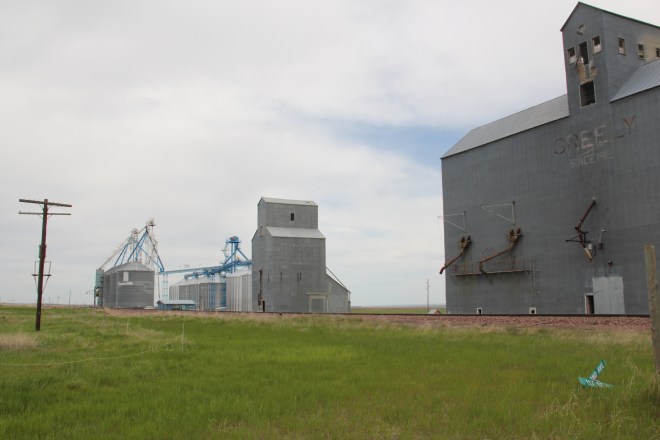
The depot has been moved from its original location paralleling the tracks, but this early 20th century standardized designed combination depot for the Great Northern Railway still stands–there were hundreds across the state in my survey of 1984-1985 and one of the more disturbing trends of the new survey of 2013-2015 is how many Great Northern depots are gone, eliminating from the landscape they once dominated.
Faith too has remained in Carter, with the persistence of the town’s small vernacular styled gable-front little white Methodist church, although in its first generation several congregations had been established here.

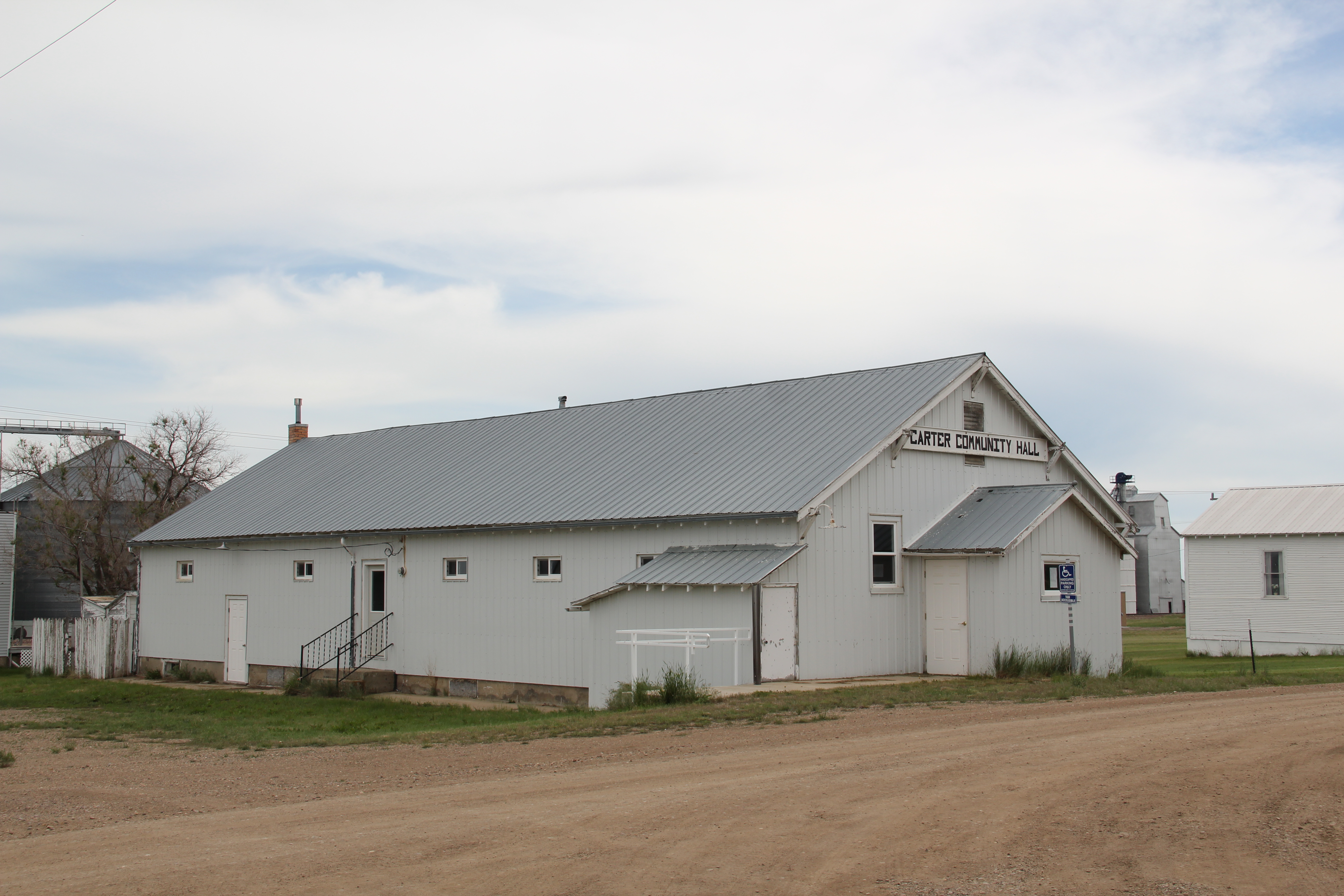
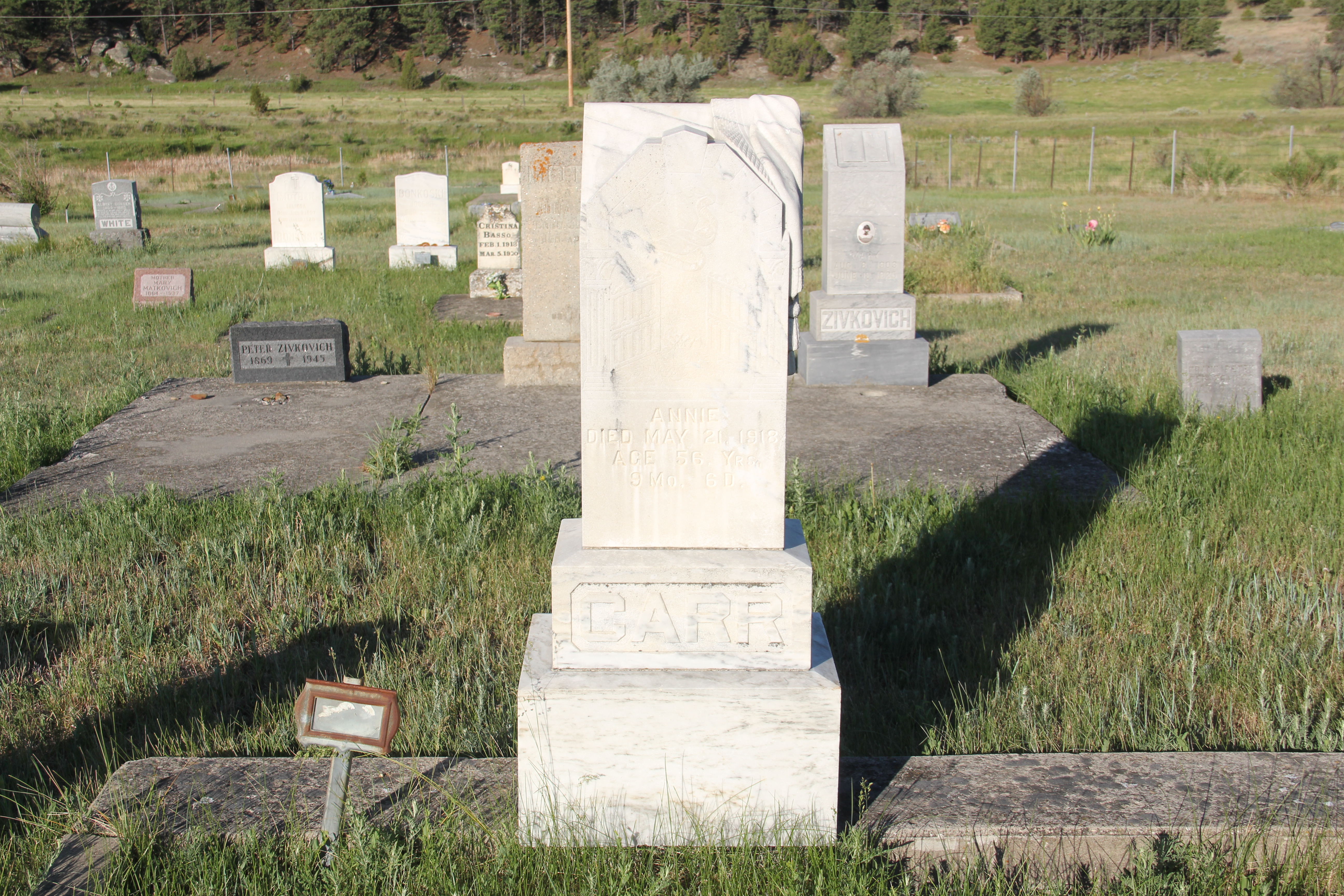
Carter also still has its Community Hall–an institution across the northern plains that defined hope and persistence in the years following the homesteading bust of the 1920s.

Community halls too were more numerous in 1984-1985 than today–the building in Carter is a significant community link between past and present.
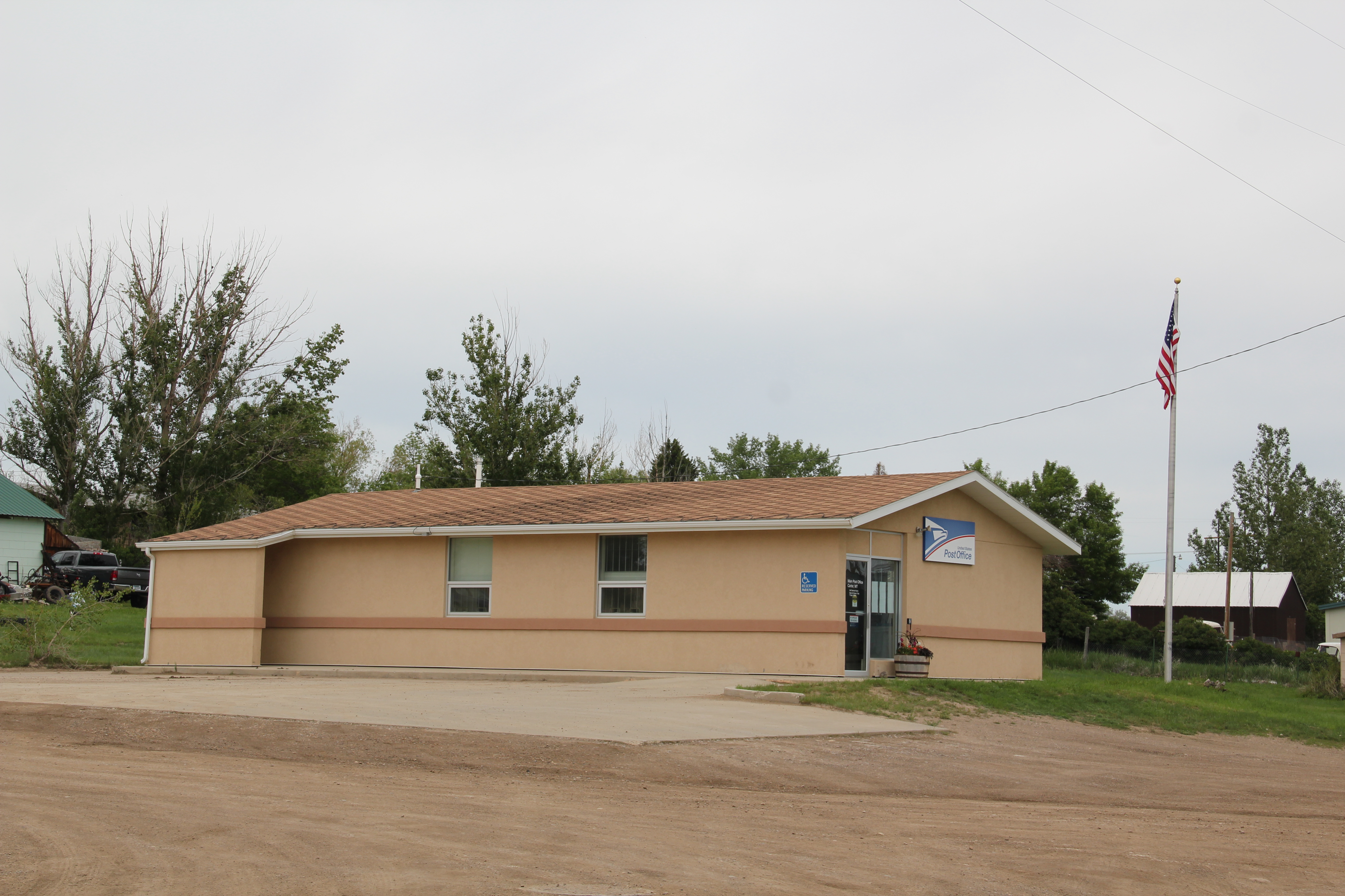
 Finally there is the federal presence–marked by a concrete block post office from the last decades of the 20th century. The threat a few years ago to close hundreds of rural post offices across the region brought new, and necessary, addition to role of post offices as modern community landmarks for plains country towns.
Admittedly, Carter is a place that hundreds roar pass daily as they drive U.S. Highway 87. But with its extant school, depot, brace of elevators, church, community hall, and post office, Carter is a valuable physical document of the plains country towns that once populated eastern Montana, serving as important way stations along the metropolitan corridors of rails and sidings that crisscrossed the west.


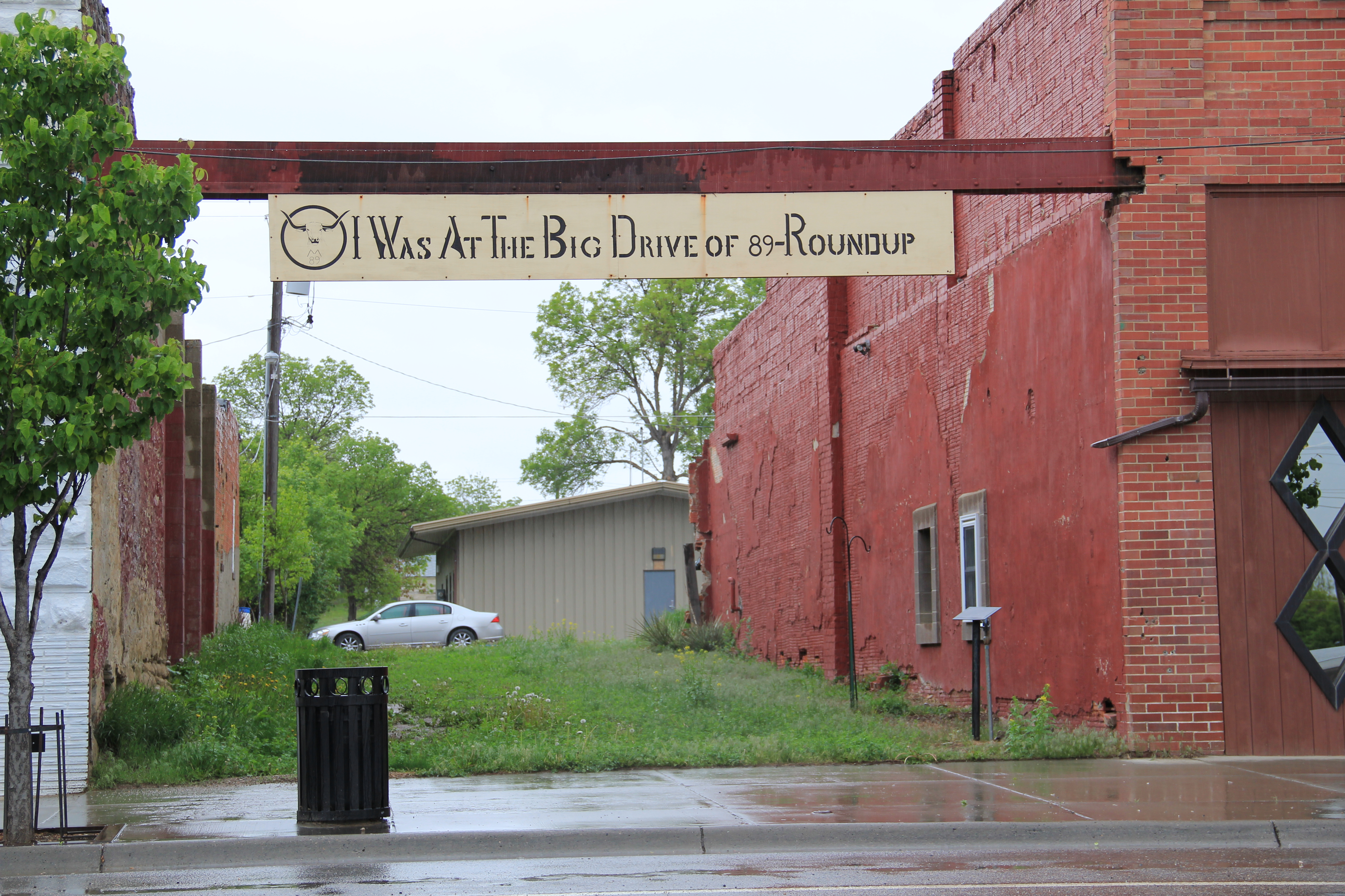
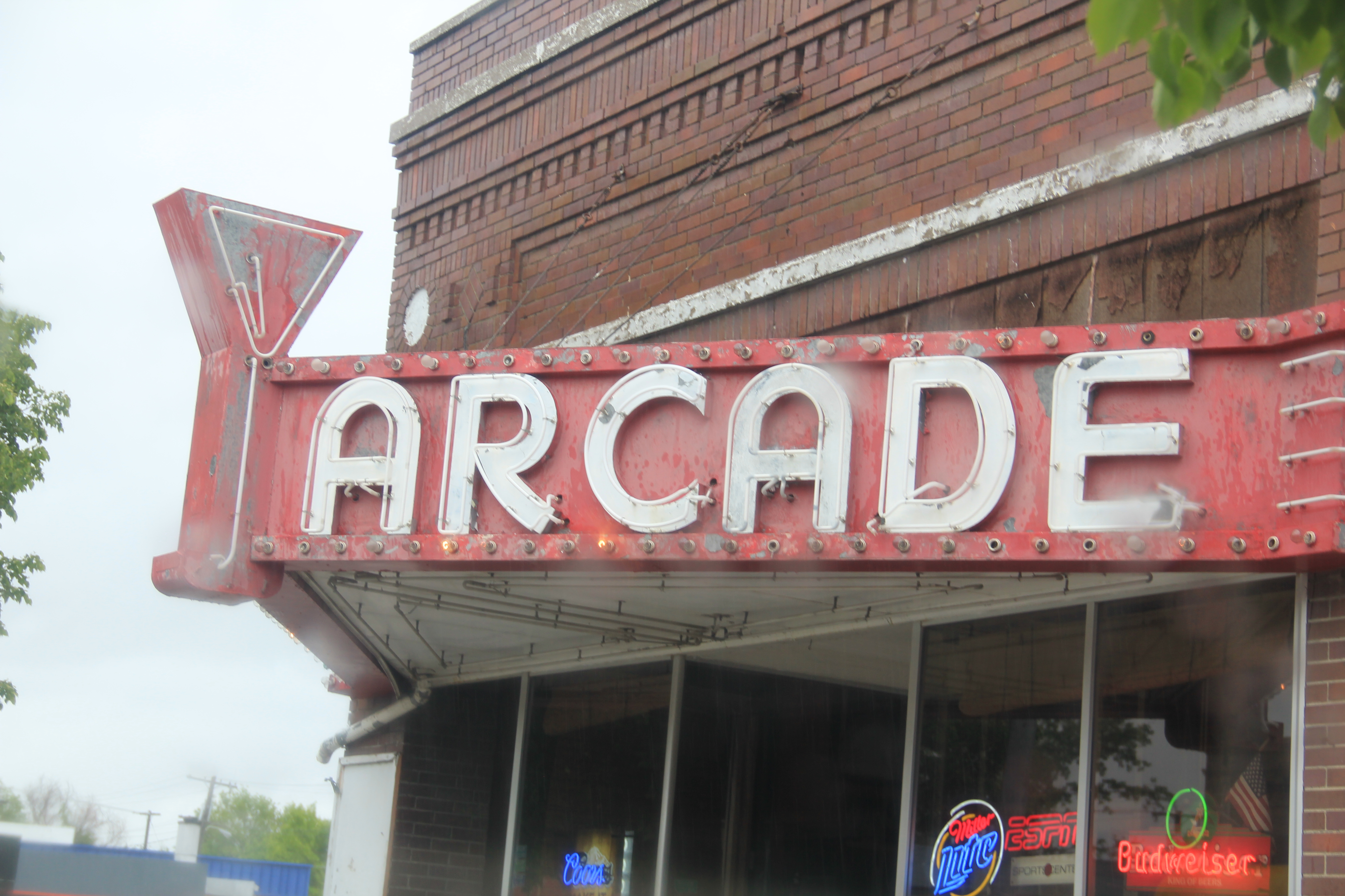
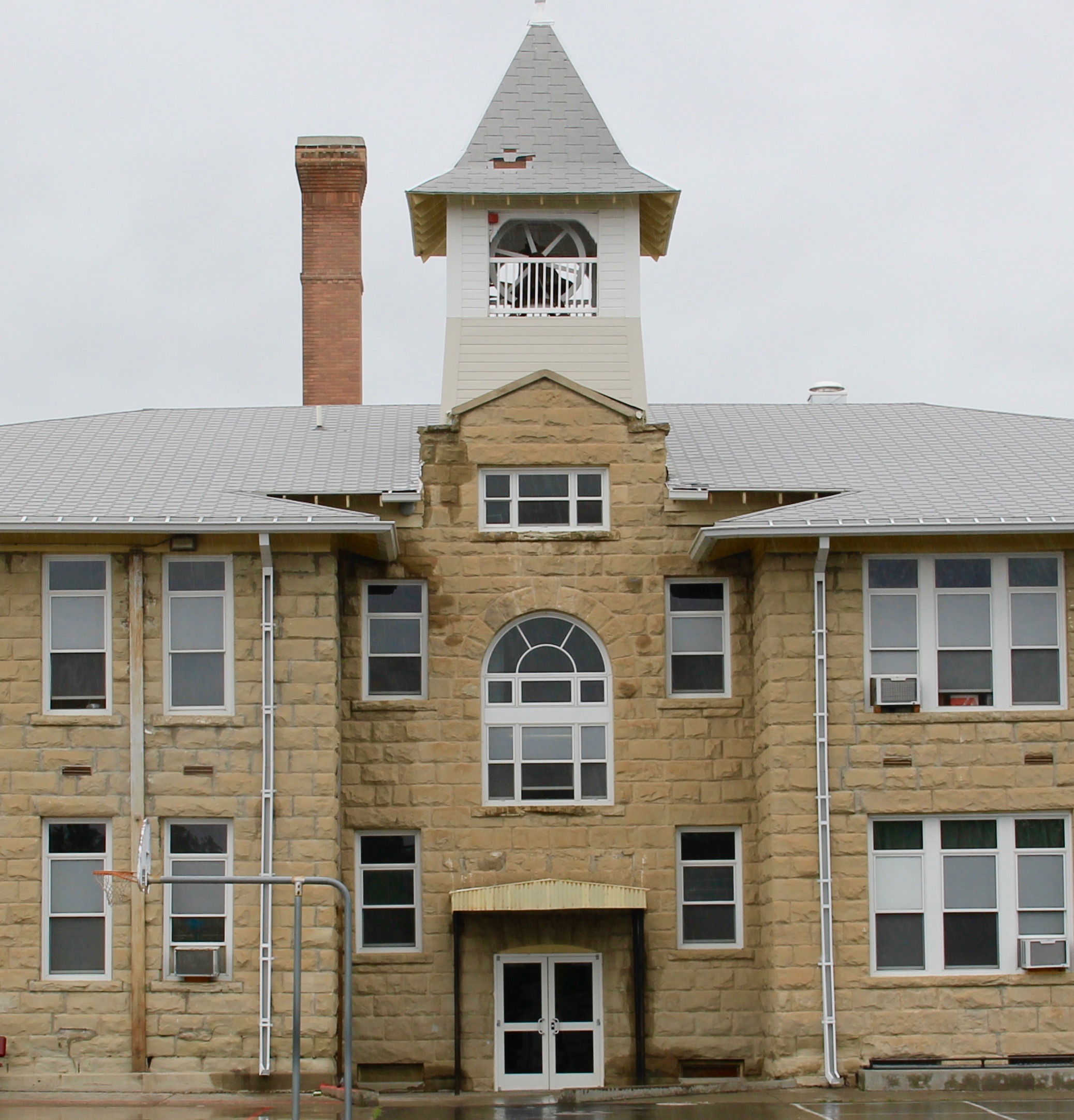 A resident reported on the towns decision to join the Main Street program and how a community partnership effort had been formed to guide the process, assuring me that the wonderful historic Roundup school would find a new future as a multi-purpose and use facility. That update has spurred me to share more images from this distinctive Montana town that I have enjoyed visiting for over 30 years.
 As I discussed in my earlier large posting on Roundup, it is both a railroad town on the historic mainline of the Milwaukee Road and a highway town, with a four-lane Main Street defining the commercial district. It is less than a hour’s drive north of Billings, Montana’s largest urban area. But nestled at the junction of U.S. 12 and U.S. 87, Roundup is a totally different world from booming Billings.
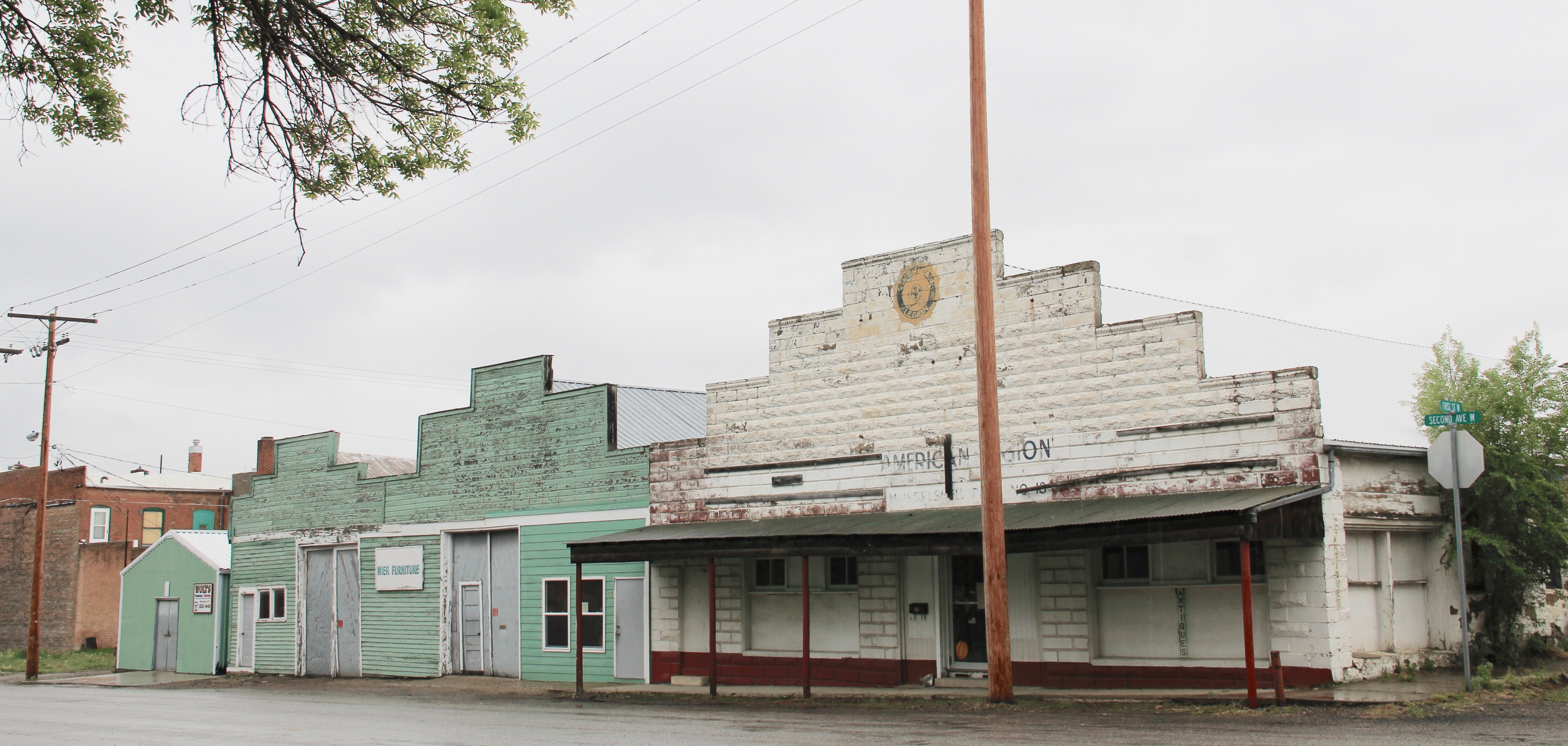
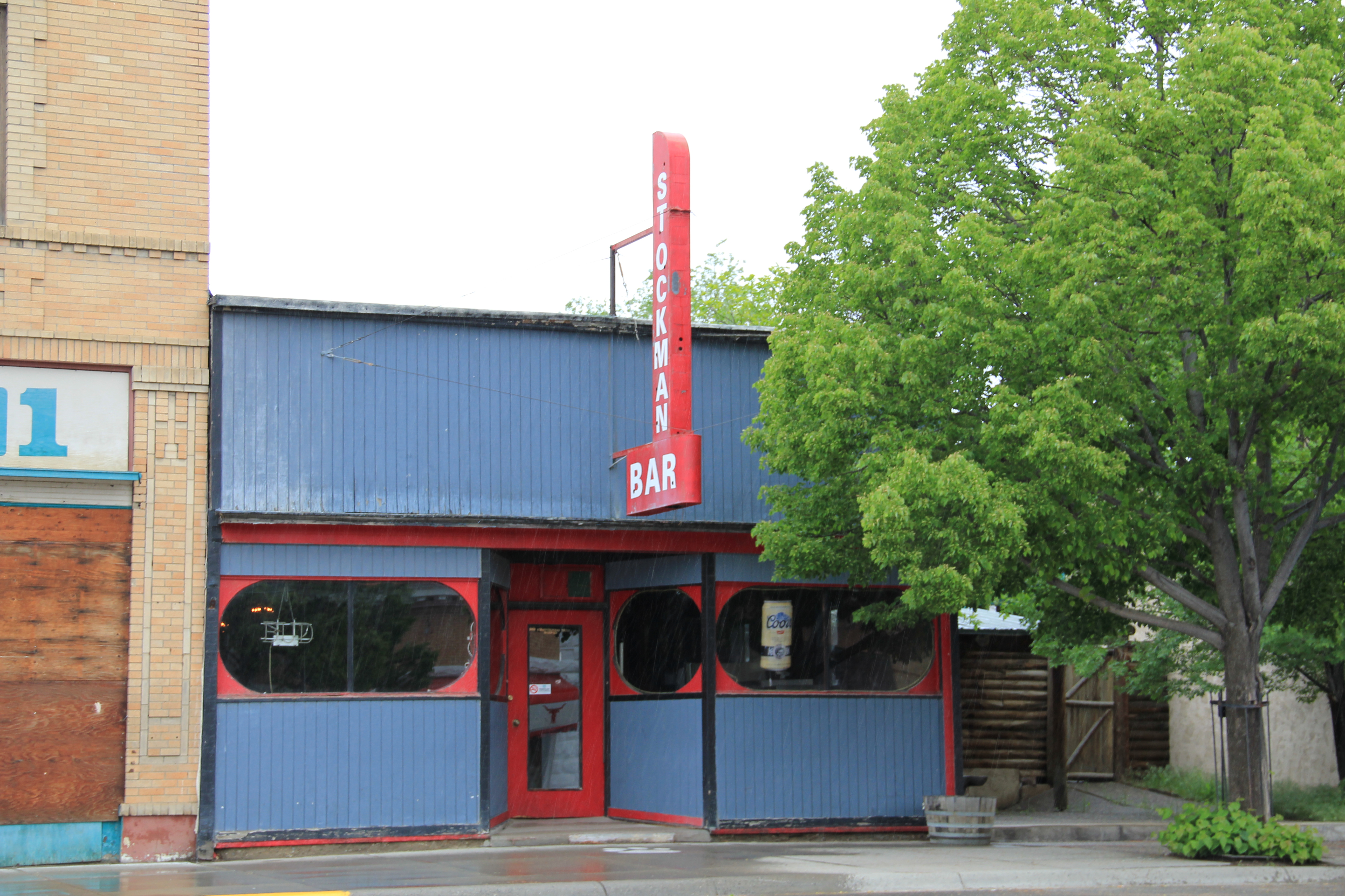
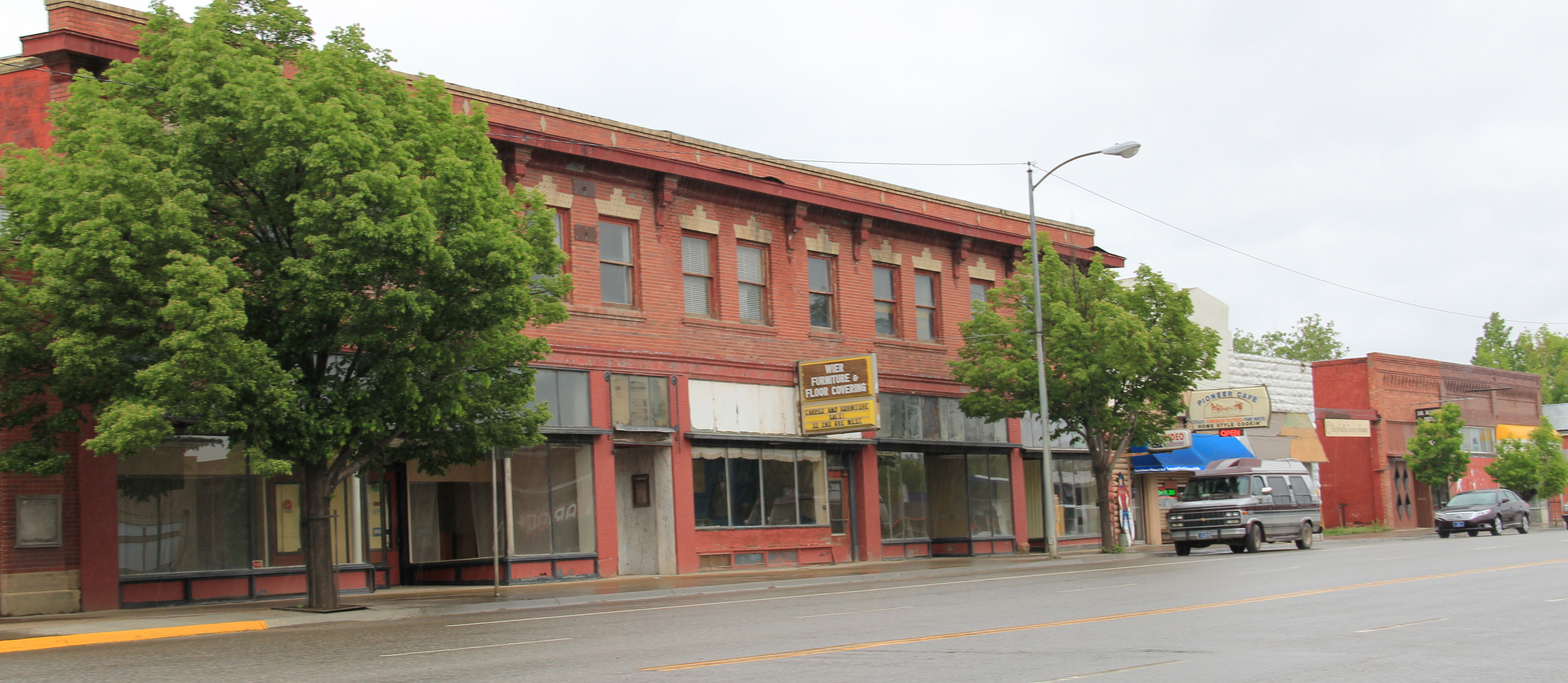
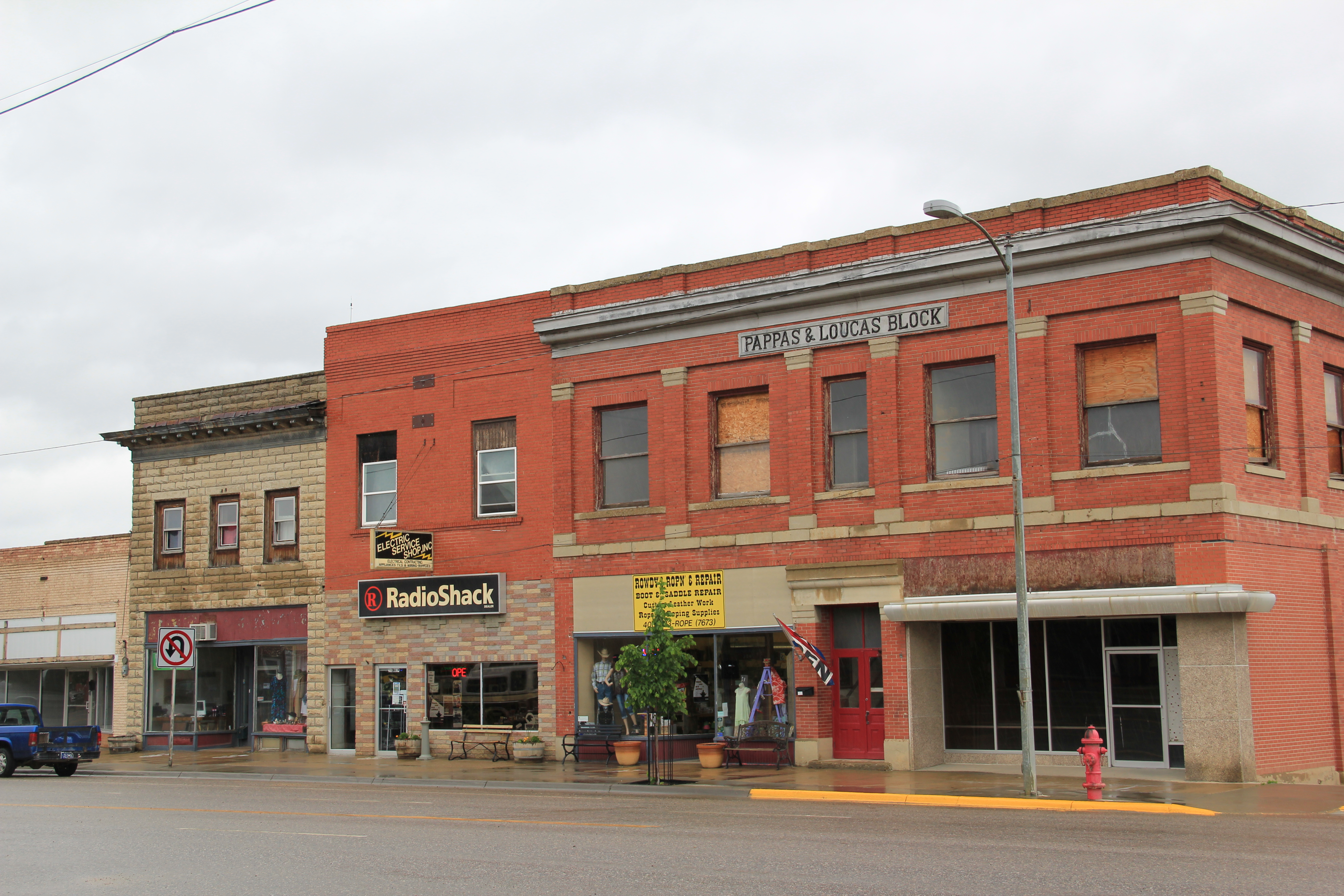
 You see the difference if how false frame stores and lodge buildings from the first years of the town’s beginnings still stand, and how the commercial district is pockmarked with more stately early 20th century brick commercial blocks, whether two stories high or a mere one-story. Yet the architectural details tell you the community had ambitions. It
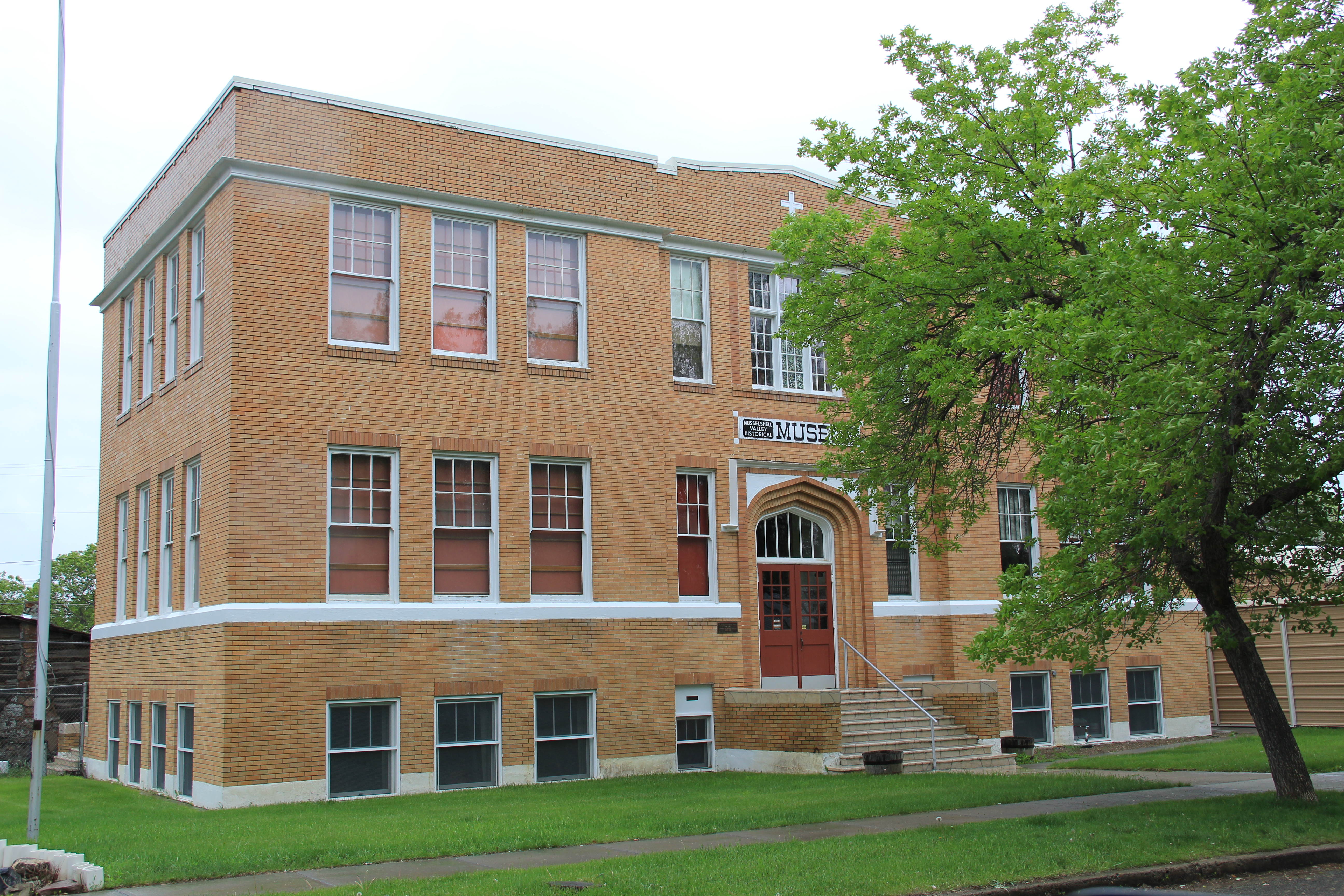
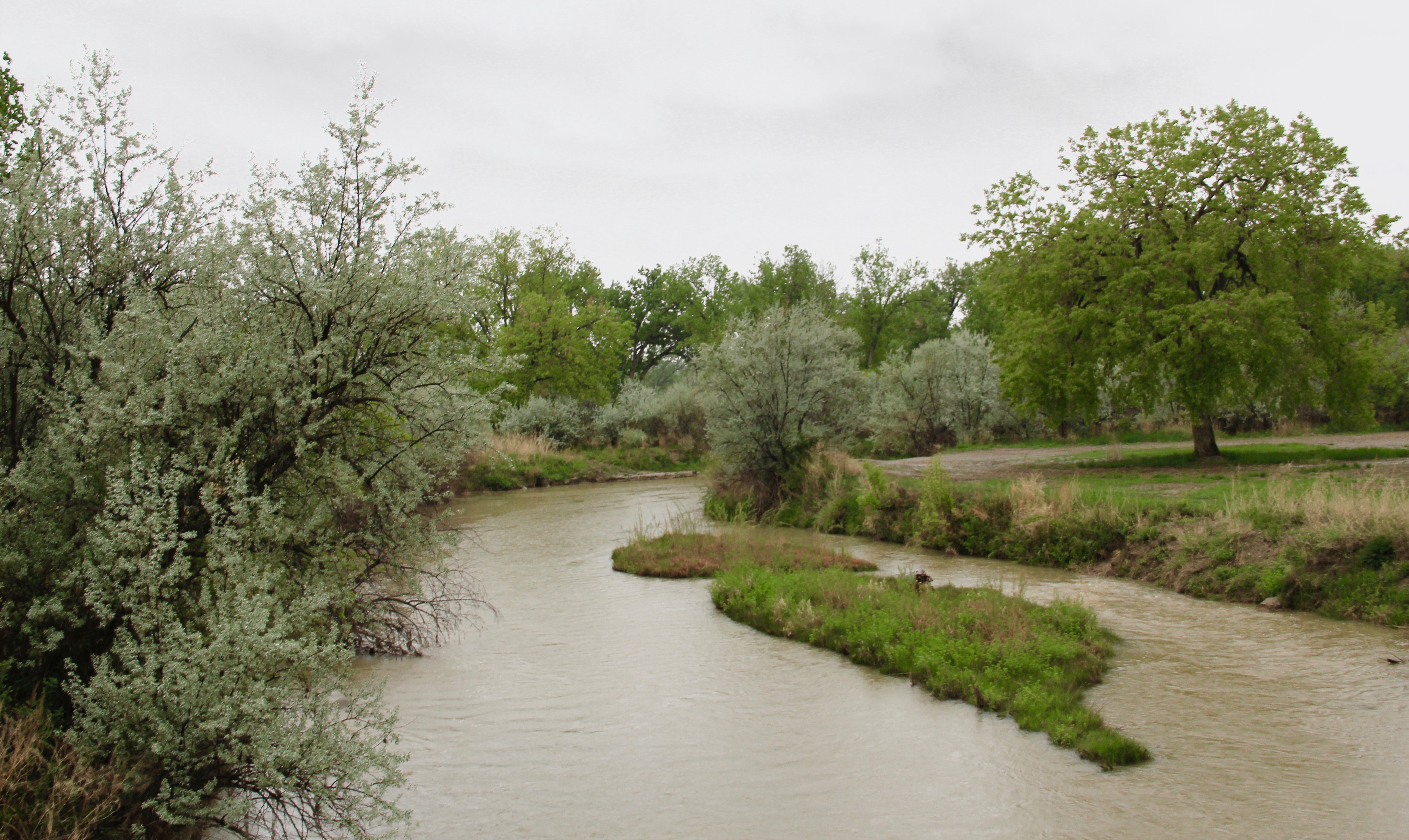
 I found a place then, and still today, that was proud of its past and of its community. I visited and spoke at the county museum, which was housed in the old Catholic school and included one of county’s first homestead cabins moved to the school grounds. The nearby town park and fairgrounds (covered in an earlier post) helped to highlight just how beautiful the Musselshell River valley was at Roundup.


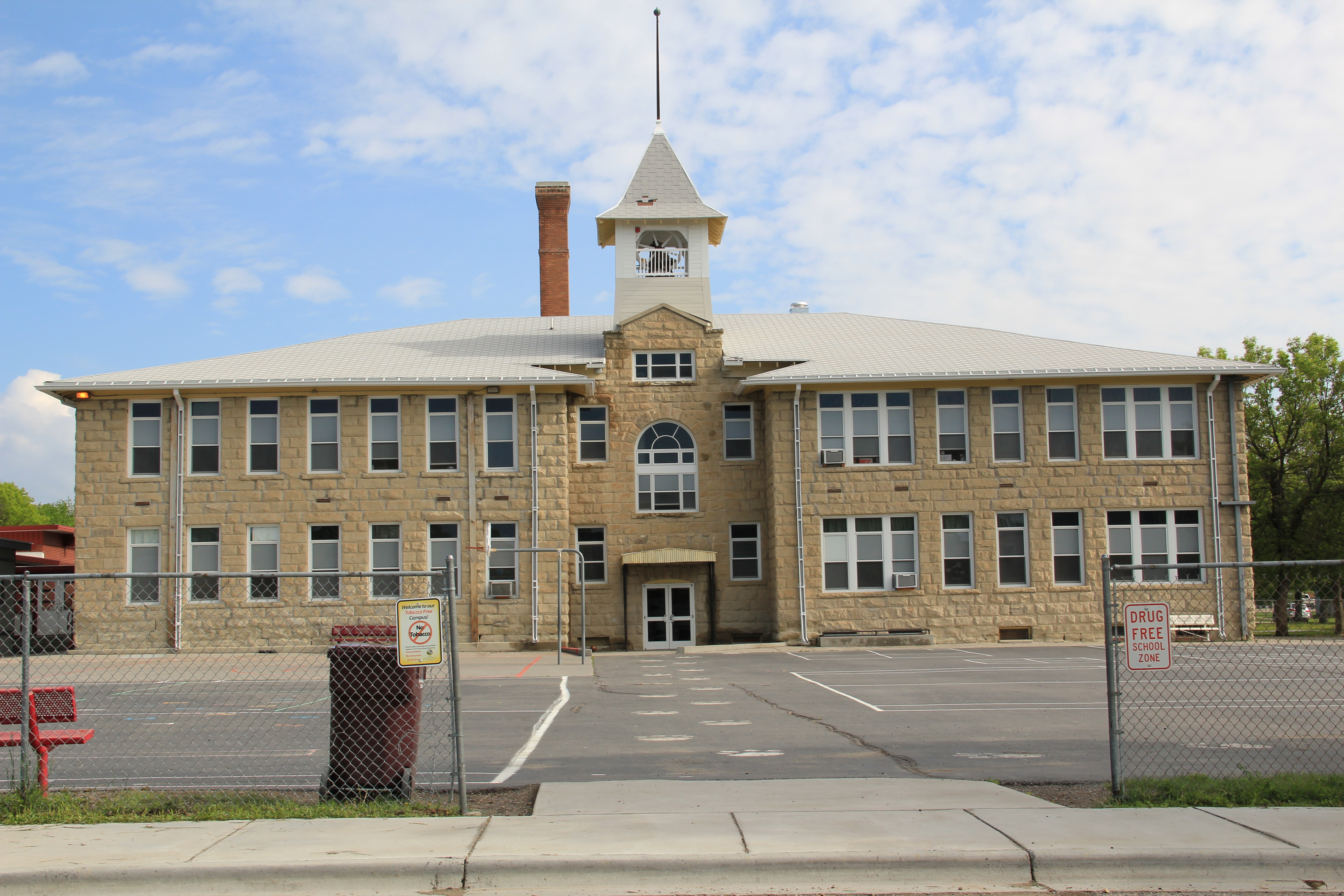
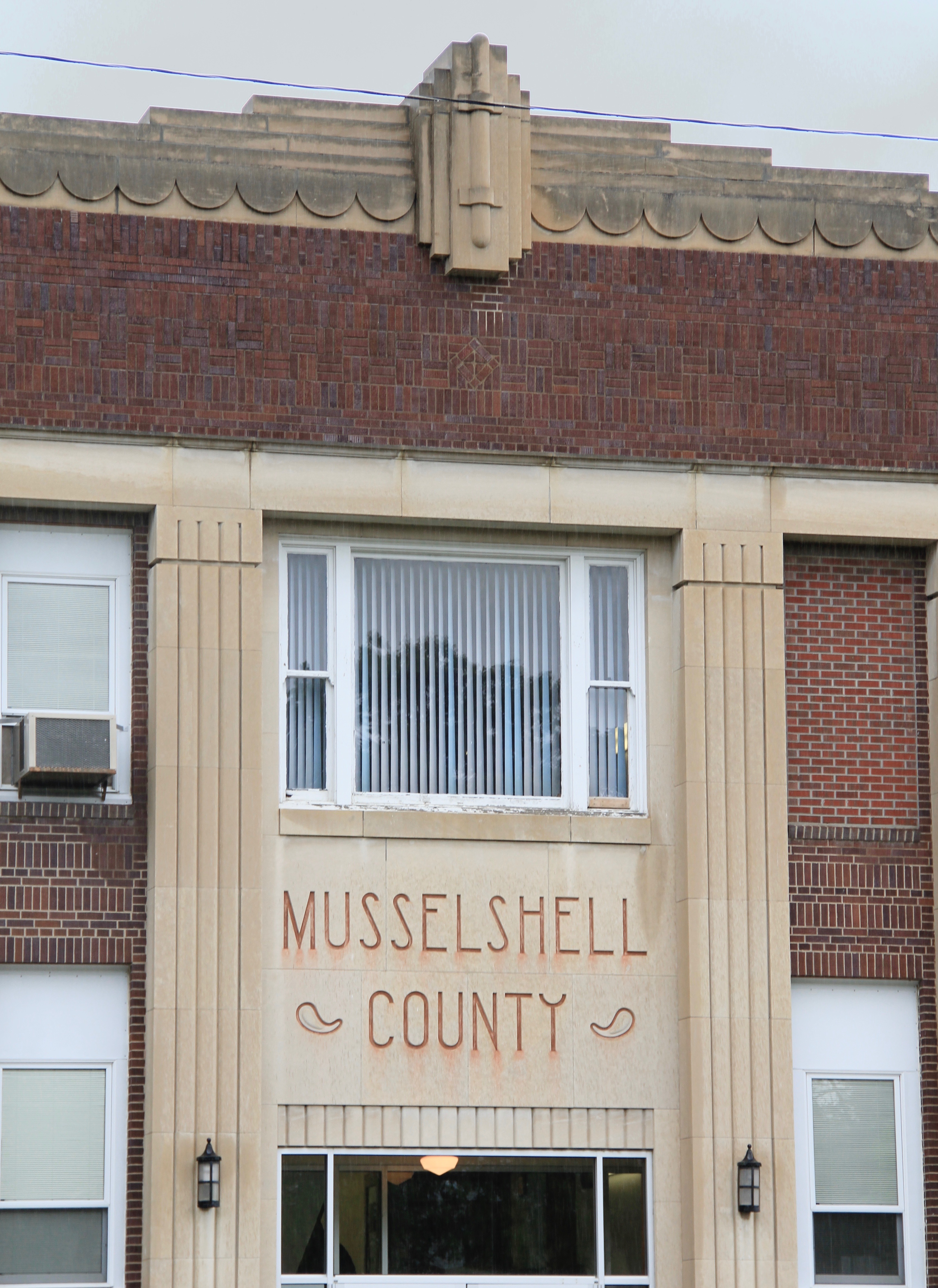
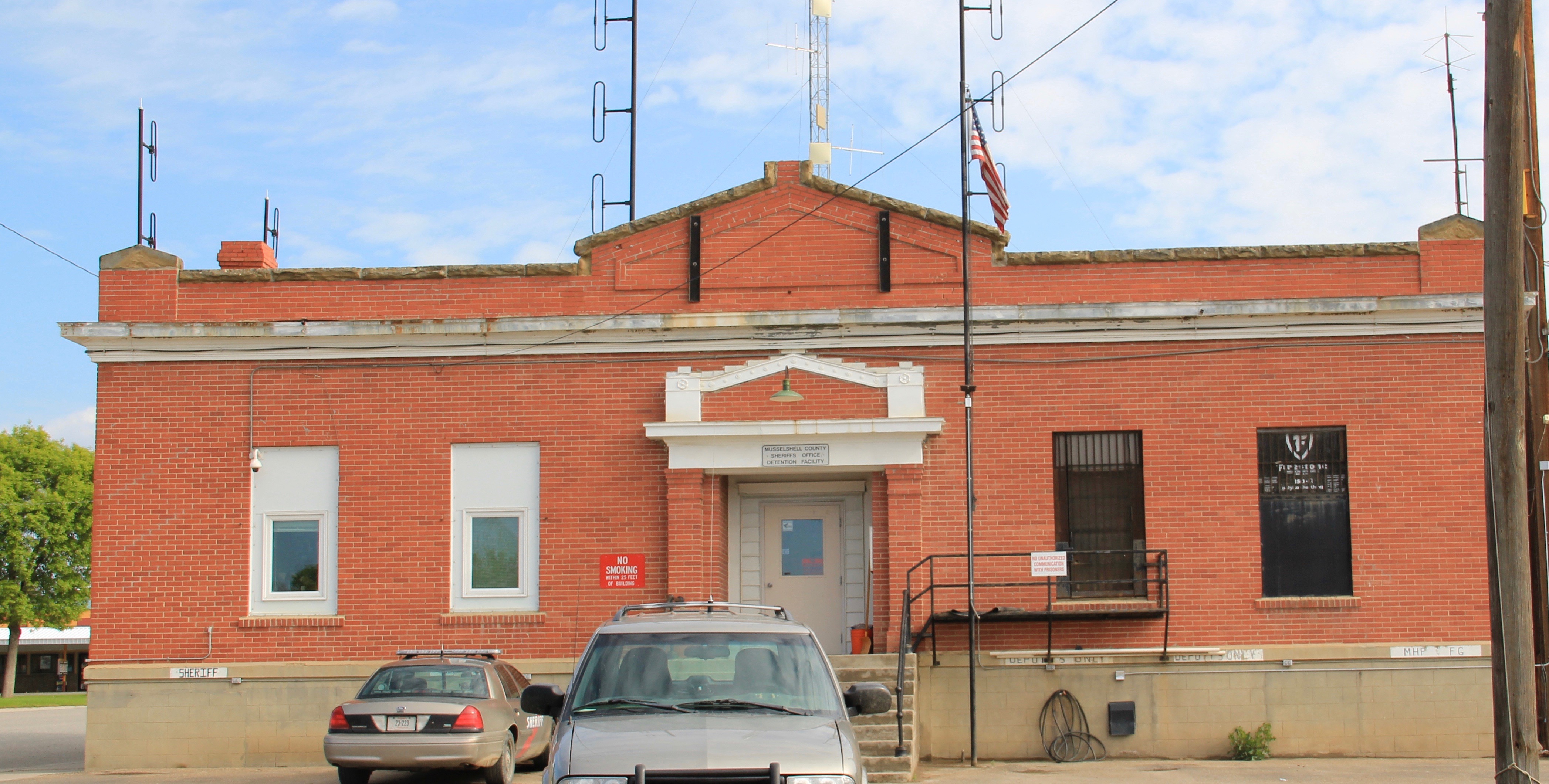 Then the public buildings–the school, the courthouse, and even the classically tinged county jail shown above–added to the town’s impressive heritage assets. Of course some buildings I ignored in the 1980s but find compelling today–like in the riverstone lined posts of the modernist Wells Fargo Bank, and the effective and efficient look of city hall.

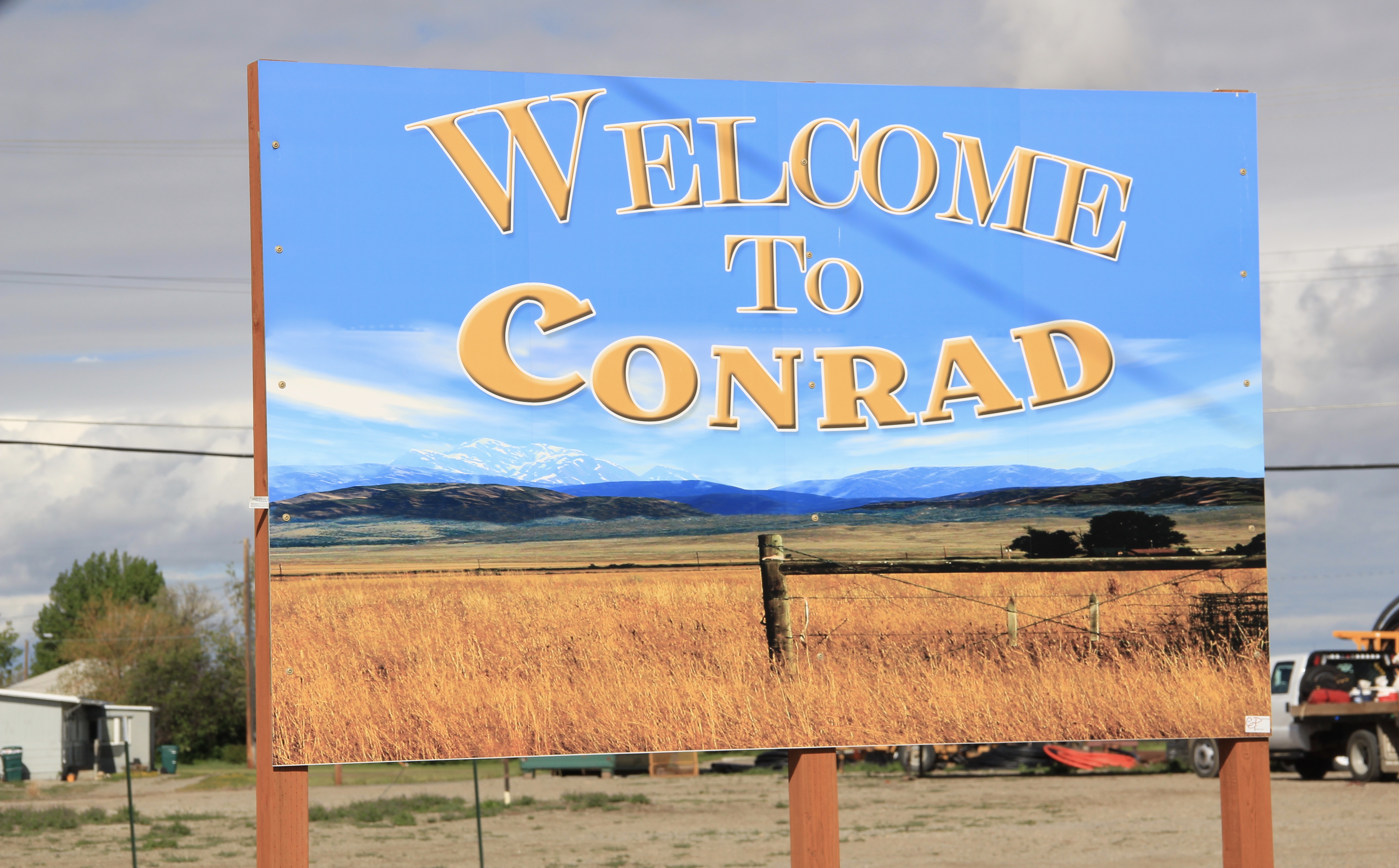 Conrad, the seat of Pondera County, is a railroad town, although the town’s close proximity to Interstate I-15 means that so many have forgotten the importance of this Great Northern Railway spur line that stretches from Shelby on the main line south to Great Falls.
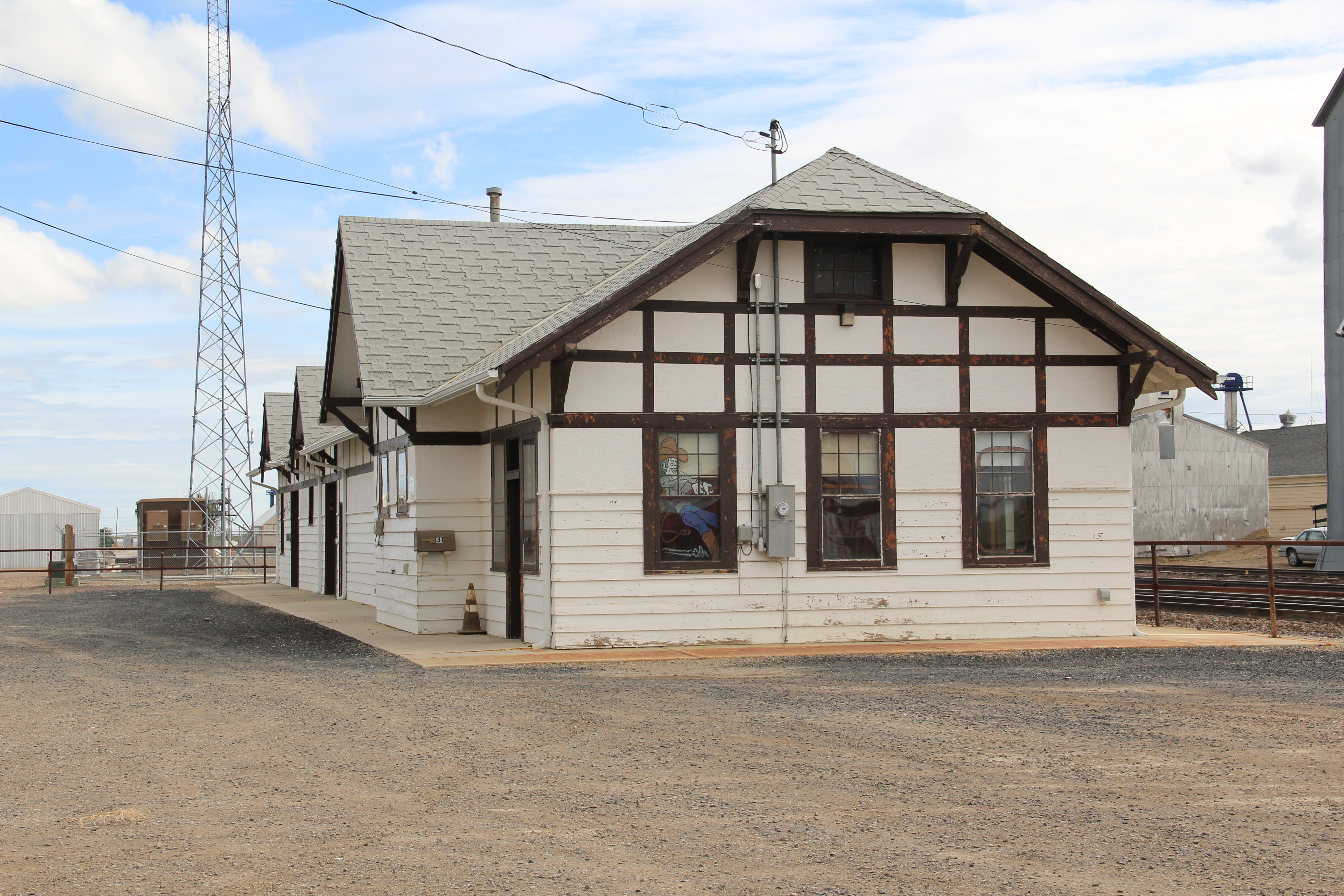
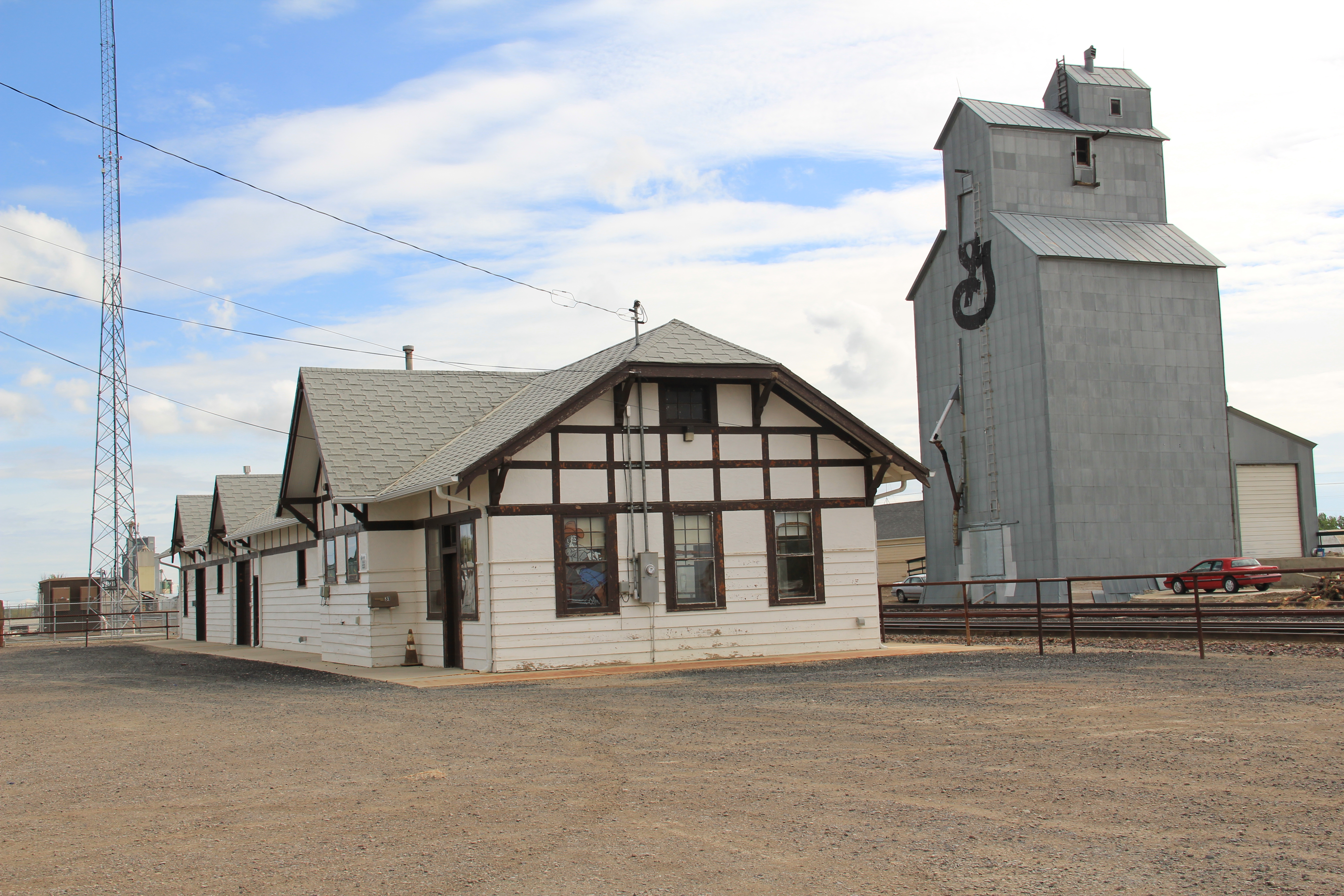 The town’s 1920s Arts and Crafts/ Chalet style Great Northern passenger station, along with grain elevators, serve as a reminder of the railroad’s importance to transporting the grains from neighboring ranches.
 Facing the depot is a combination symmetrical town, with one story brick buildings, several of them classic western bars, and then a block long T-plan that connects to the historic federal highway U.S. 87.