A fall drive along U.S. 12

When I lived in Helena from 1981 to 1985 one of my favorite jaunts was along U.S. Highway 12 from Townsend to Roundup. It remains so today, 40 years later. My initial interest centered on railroad corridors. Helena to Townsend followed the Northern Pacific Railroad and a good bit of the Missouri River (now Canyon Ferry Lake).

Northern Pacific bridge over Missouri River near Townsend
Missouri River and Canyon Ferry valley near Townsend
Missouri River campground near Townsend

It was a brilliant day with fall colors just popping as we left US 287 and turned into the heart of Townsend.

As soon as you leave town to the east you encounter a lovely mix of ranches and irrigated fields until you thread your way through a national forest along Deep Creek.

Fall colors along Deep Creek

We decided to continue east by briefly jumping off US 12 and go to Montana 284 so we could follow the Milwaukee Road corridor from Lennep to Martinsdale where we would reconnect with US 12. Two of my travelers had never been to the Milwaukee Road “ghost town” of Lennep. It was a beautiful morning to be there.

Milwaukee Road powerhouse

You first realize that this abandoned railroad corridor is different when you encounter an electric powerhouse—the Milwaukee Road’s tracks were electrified from Harlowton Montana west to Idaho.
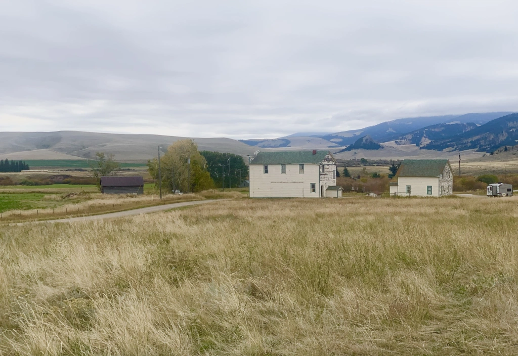
Lennep

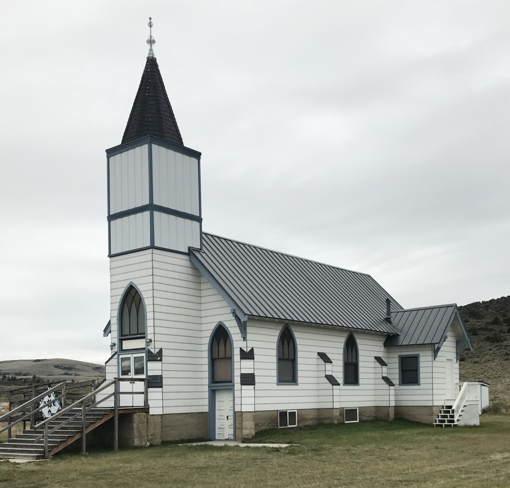
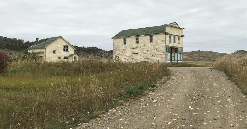
At Lennep the landmarks remain—the Trinity Lutheran Church, the store, the school, a teacher’s cottage and an early notched log house—but all were a little worse for the wear compared to my last visit 10 years earlier.
As we traveled east that morning we quickly moved through the county seats of Harlowton and Ryegate to get to Roundup by lunch. The Musselshell Valley was brilliant even as signs of the old railroad almost disappeared.
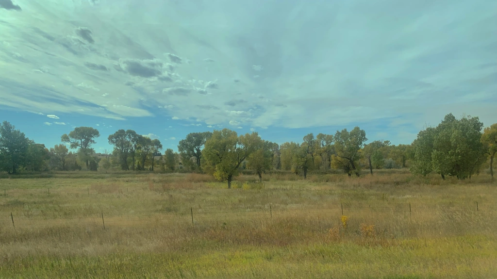
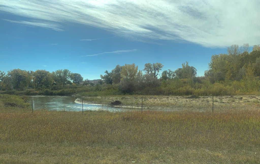
Near Ryegate
Near Lavina

Roundup continues its renaissance with new businesses and restored buildings. The town core, clustered around the intersection of US highways 12 and 87, was busy on a fall weekend.
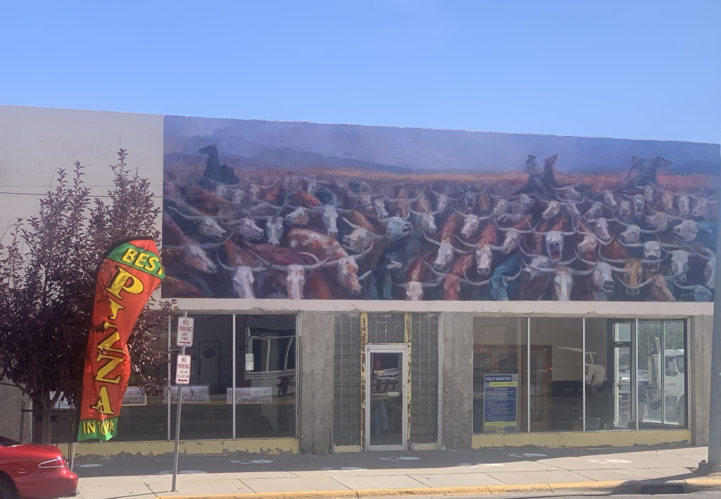
A mural on the great cattle drive of 1989
The Backporch—great bbq
New mural at the Keg
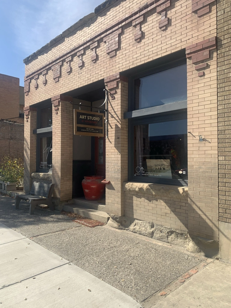
Art studio doing well
Awaiting its renovation
Community green spot

As I observed a few years ago Roundup residents worked together and created a plan—and the place continues to work the plan, from the adaptive reuse of its historic stone school to the careful stewardship of its historic fairgrounds. It’s impressive.

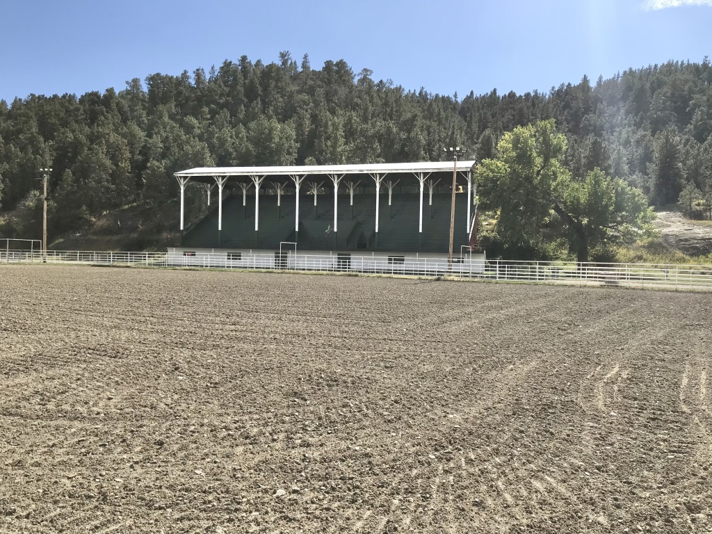
After Roundup we stopped at two county seats on the return to Helena. Harlowton was rocked by the closing of the Milwaukee Road over 40 years ago. It has struggled to reach the economic comeback achieved at Roundup. But the historic stone buildings have great potential. Three of them are now part of a large museum complex.

Then there’s the newcomer: the Gally’s microbrewery and pub, housed in the 1913 Montana Block.

It’s a great place for local beer and good conversation—and maybe the start of something good for the town.

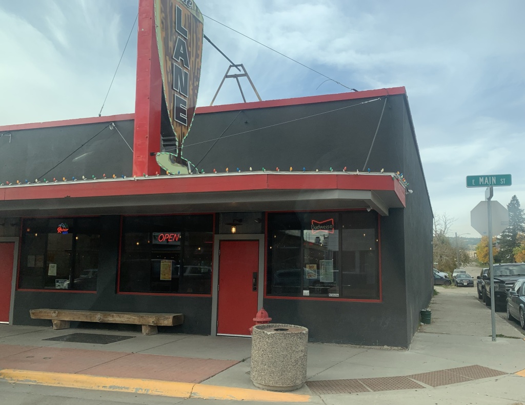
US Highway 12 was torn up for major repairs when I last visited White Sulphur Springs last decade. The improvement along its population growth and the ever expanding hot springs gives the place a new look, reflected in new catchy fronts to local bars along with new businesses such as a huge Town Pump.

But historic White Sulphur Springs is doing ok too: the New Deal constructed Meagher County Courthouse is still a roadside landmark while the old railroad corridor, just west of the Hot Springs, remains, awaiting its rebirth.

These places are mere highlights along a historic route that’s worth a drive anytime in the fall.
Marysville, a Montana “ghost town”

Marysville was the first mining ghost town that I visited in Montana in 1982. Forty years ago it wasn’t really a ghost town—several families lived there year round. But many buildings were abandoned, in disrepair, even one of the historic churches. Whenever families or friends visited me in Helena, I always took them to Marysville to see what was left because I wondered just what the future of the place would be.

I need not have worried. I had not been in Marysville since 1985 when I visited in May 2023. Today about 80 people live in Marysville—again far from being a ghost town. But so much preservation work had taken place since the 1980s.

Today many historic buildings from c. 1880 to the 1920s help to tell the story of gold mining in Montana at the fabled Drumlummon Mine owned by Thomas Cruse, a mine that overlooked the town. But work remains—other key buildings need their champion to ensure their preservation.

Drumlummon concentrator ruins
Ruins only remain of this dwelling
Stone commercial building from 1895
The 1898 Masonic Lodge Building with its impressive brick exterior dates to 1898. Both Mountain Star 130 and Ottawa 51 met in the building.
Another important building was the general store, initially established by Ann and Blibal Betor (Betor was from Lebanon) c. 1898. When I lived in Helena the place was abandoned and in rough shape. A well planned restoration began in 2004 and was finished in 2018.
The general store interior speaks to its conversion into a saloon and dance hall c. 1940.
The former Northern Pacific railroad depot is now home to the town’s bar and cafe.
Another restoration was led by the Hollow family at the town’s Methodist Episcopal church. This 1886 building is listed in the National Register of Historic Places.
Our Lady of Lourdes Catholic Church also dates to 1886. Thomas Cruse later took some of his Drumlummon fortune and donated it for the construction of the Cathedral of St. Helena in Helena, MT.
The Marysville Pioneer Memorial Building contains a museum about the town and its mining history.

The people who call Marysville home have been remarkable stewards. By keeping the town alive they also have preserved a special place in Montana’s mining past.

Canton, a forgotten Missouri River town

Canton was one of the early Missouri River towns in what is now Broadwater County, Montana. Canton was never much of a place but it had enough people and vision to build one of the first landmarks in this part of the Missouri River valley, St. Joseph’s Catholic Church in 1875-76.

Listed in the National Register of Historic Places, the church served local residents from almost the beginning of the town’s settlement through the homesteading boom of the early 20th century. The Northern Pacific Railroad ran along the other side of the River, diminishing the importance of Canton but never really indenting the significance of the church as a territorial-era landmark and as a compelling example of vernacular church architecture. Regularly held services continued until 1954.

The church faces the River (now Canyon Ferry Lake)

It really is a splendid bit of craftsmanship. The Gothic influenced bell tower entrance dates to the homestead boom of the early 20th century while the rounded arches over the windows well express its late 19th century roots.

Determined residents saved the church from destruction in 1954. They had the building moved to this place, higher ground away from the lake and lakeside developments created by Canyon Ferry Dam and Reservoir. The grand Bureau of Reclamation project totally reshaped Broadwater County. The town of Canton was erased but St. Joseph’s remained.

Thirty years later when I stopped at the church in 1984, it was ragged and needed attention. Residents did that in the 1990s and ever since the church has stood as a quiet but imposing marker of the territory days of Montana.

Buffalo, Montana: the town, not the mammal

I had not been to Buffalo in Fergus County, Montana since 1984–some 37 years ago in the summer of 2021. The place dates to the late 19th century with a post office and trading post. In 1908 it took on the town plan you find today–elevation at the head of town along with railroad line and the public school at the other end of town–as it became part of the Great Northern Railroad route between Billings and Great Falls.

The same landmarks I found in 1984 still defined the town. The First State Bank of Buffalo (there was never a second one) was slowly ebbing away then; the bank had closed during the Great Depression, when so many Montana towns from the homesteading boom had their economic life sucked away. In 1921 I was frankly amazed that it still stood, missing a roof and part of a wall but still expressing its small-town neoclassical style with pride.

Buffalo bank in 1984

Buffalo bank in 2021

The Buffalo school was another statement building from the homesteading era, its two-story brick construction expressing not only the need of a rapidly booming place but how the residents valued public education. The school was the community’s statement of pride.

The community church made a statement of faith and community spirit for the 21st century. The town numbers less than 200 inhabitants but actually that number had grown in recent years. The Craftsman-styled church is extremely intact for a 100 year old plus building–the maintenance of the church is a credit to its members.

Not everything was as it had been in 1984. The community hall had fallen on lean times indeed.

But the hipped roof post office–the one civic building–hadn’t changed a bit. Here was a statement of continuity, and thanks to everyone who fought the good fight last decade to keep post offices alive in rural Montana.

Barber, a disappearing Milwaukee Road Town

Barber, Montana

I first visited Barber, a Milwaukee Road-associated town in the Musselshell River Valley, in 1984. Now almost 40 years later, I revisited the place to see, particularly, if the landmark Grace Lutheran Church still stood. Yes, indeed, it has survived another four decades, but now had a handicap access ramp to better serve its aging congregation.

Grace Lutheran Church photo from 1984
Grace Lutheran Church, Barber, MT

This vernacular Gothic styled building dated from 1917–the one decade of Barber’s prosperity–and when I visited in 1984 it was the smallest American Lutheran congregation in the country. Its defining Gothic architectural elements–the Gothic window hoods and the tracery in the gable ends–remain intact. Clearly the surrounding ranch families are effective stewards for this National Register-listed jewel of a rural northern plains church.

Barber, MT

I noted in 1984 that a store still operated–but now it is barely hanging so, with the foundation has failed and you wonder how much longer its false-front facade will remain standing. I observed that all that was left of the town bank was the vault–that is still there–but a two-story turn-of-the-century house is now abandoned, almost on its last legs.

Abandoned Victorian-styled house, Barber, MT

The Milwaukee Road created scores of towns similar to Barber across the plains in the first two decades of the twentieth century. One hundred years later–some 40-plus years since the railroad went bankrupt–a few buildings remain at these spots on the map, physical reminders of the homesteading boom and bust of that era. Hats off to the residents keeping Grace Lutheran Church alive–as along the church remains, there will be a Barber, Montana.

Back on the Hi-Line: Hinsdale and Saco

Phillips Co Saco west on US2 showing old road, new, and GN tracks

Hinsdale (just over 200 people in Valley County) and Saco (just under 200 people in Phillips County) are two country towns along the Hi-Line between the much larger county seats of Glasgow and Malta.  I have little doubt that few visitors ever stop, or even slow down much, as they speed along the highway.  Both towns developed as railroad stops along the Great Northern Railway–the image above shows how close the highway and railroad tracks are along this section of the Hi-Line.  Both largely served, and still

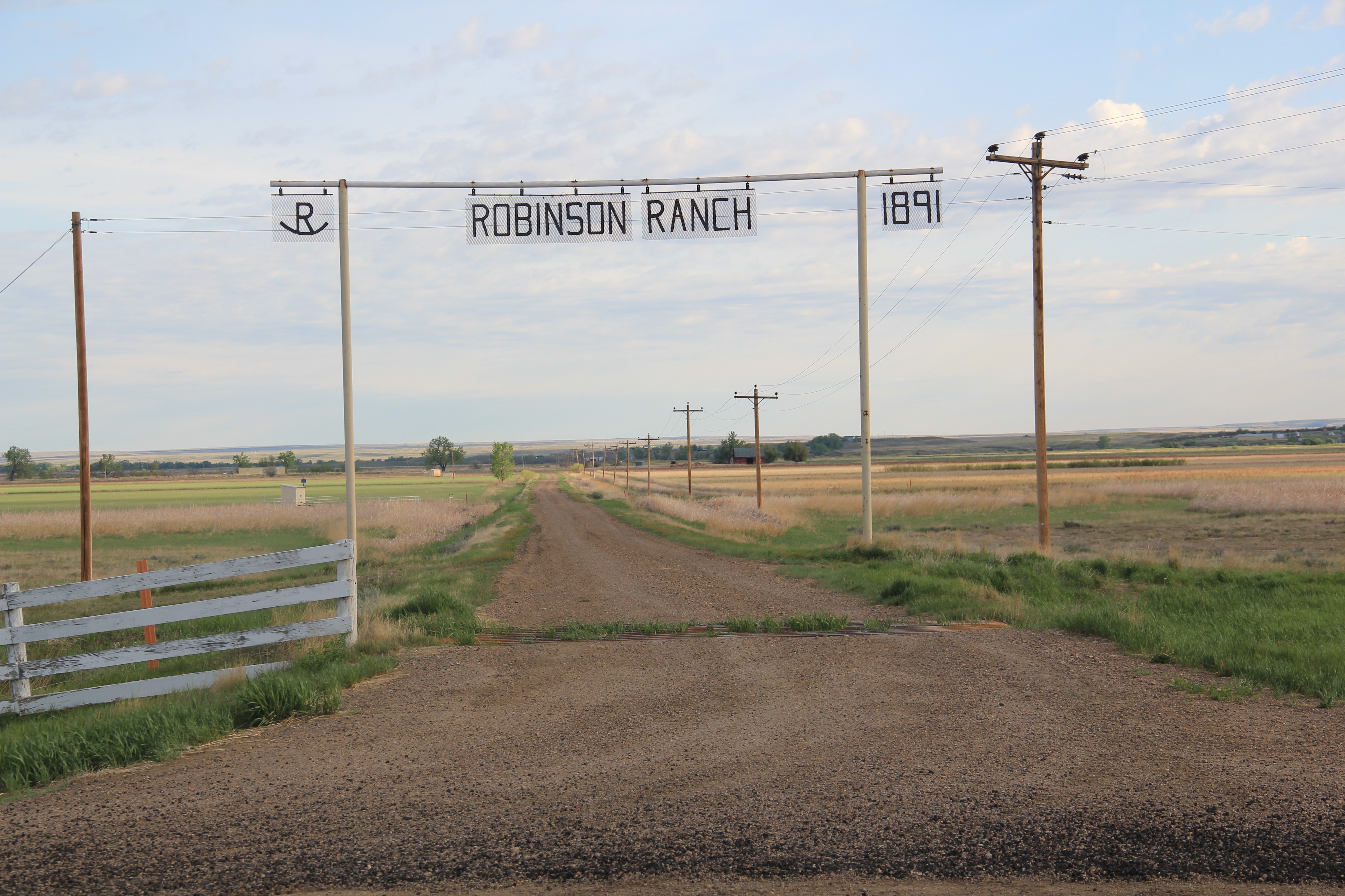
Phillips Co Robinson Ranch w of saco roadside

serve, historic ranches, such as the Robinson Ranch, established in 1891, in Phillips County.  Both towns however have interesting buildings, and as long as they keep their community schools, both will survive in the future.

Valley Co Hinsdale school

Hinsdale School, Valley County

Phillips Co Saco school

Saco School, Phillips County

Of the two towns, I have discussed Saco to a far greater extent in this blog because it was one of my “targeted” stops in the 1984 survey.  The State Historic Preservation Office at the Montana Historical Society had received inquiries from local residents in Saco about historic preservation alternatives and I was there to take a lot of images to share back with the preservationists in Helena.  But in my earlier posts, I neglected two community

Phillips Co Saco post officebuildings, the rather different design of the post office from the 1960s and the vernacular Gothic beauty of the historic Methodist Church, especially the Victorian brackets of its bell tower.

Phillips Co Saco UM church

I ignored Hinsdale almost totally in its first posting, focusing on roadside murals.  This Valley County town is worth a second look, if just for its two historic bank buildings.  The former First National Bank and the former Valley County Bank both speak to the hopes for growth along this section of the Milk River Project of the U.S. Reclamation Service in the early 20th century.  Architecturally both buildings were touched by the Classical Revival style, and both took the “strongbox” form of bank buildings that you can find throughout the midwest and northern plains in the first two decades of the 20th century.

Valley Co Hinsdale 4 1st national bank

Valley Co Hinsdale 2 bankValley Co Hinsdale 1 bank

The rest of Hinsdale’s “commercial district” has the one-story “false-front” buildings often found in country railroad towns along the Hi-Line.

Valley Co Hinsdale 3

Local residents clearly demonstrate their sense of community not only through the school, which stands at the of the commercial area.  But community pride also comes through in such buildings as the c. 1960s American Legion Hall, the c. 1902 Methodist church (the separated cupola must be a good story), and St. Anthony’s Catholic Church.

Valley Co Hinsdale American Legion hall

Valley Co Hinsdale UM Church 1902

Valley Co Hinsdale St Albert's Catholic

These small railroad towns of the Hi-Line have been losing population for decades, yet they remain, and the persistence of these community institutions helps to explain why.

Eastern Montana County Seats: Scobey

Daniels Co Scobey signs

For whatever reason, readers of Montana’s Historic Landscapes have been very interested in Daniels County, way up in the northeast corner of the state.  In previous posts I have discussed the Daniels County Courthouse–one of my favorites–the county’s historic rural schools and Flaxville, one of the most interesting tiny towns left from the homesteading era in all of eastern Montana.

Daniels Co Scobey 5

Today I want to look back at Scobey, the seat of Daniels County, which was established in 1920 at the end of the homesteading era.  Sometimes it is referred to as the most isolated county seat in America.  But whatever its isolation may be, I found Scobey a relaxing, interesting place, and actually took many images.  But outside of the courthouse, schools, the fairgrounds, and wonderful Pioneer Museum, I did not share much with the readers.  This post changes that.

Daniels Co Scobey 5 libraryThe county library, above, is small but busy, a reminder of how important these public buildings can be.  About 5 years ago, the time of my last visit, Scobey still had its own medical center, below, as well as a distinctive post office, different from many in the region due to its modernist style.

Daniels Co Scobey hospital

Daniels Co Scobey post office

Much of its past remains, and remains in use.  The railroad corridor had changed–the passenger depot was gone, but historic grain elevators still mark how Scobey was a major grain shipping point for much of the 20th century.

Daniels Co Scobey elevators 2

Historic churches have left deep roots in Scobey.  Below are the Scobey United Methodist Church, the Scobey Lutheran Church (which has a wonderful Gothic altar), and St. Bonitus Catholic Church, another example of mid-century modern in the Catholic church buildings of Eastern Montana.

Daniels Co Scobey Methodist

Daniels Co Scobey Lutheran

Daniels Co Scobey St Philip Bonitus

The residential area has plenty of vernacular-styled 20th century homes, most from the first half of the century.  I particularly liked the next two bungalows on Timmons Street.

Daniels Co Scobey Timmons St

Daniels Co Scobey timmons street

Five years ago the business district had clearly weathered the 2007-2008 recession and lots of stores and bars were open, anchored by Independence Bank, another example of 1960s-1970s modern commercial style in Scobey.

Businesses from the first decade of settlement also were part of the “downtown” fabric, such as this historic two-story Masonic Hall and the Pioneer Hotel, which once served as a first stop for homesteaders upon their arrival in Scobey.

Daniels Co Scobey 22

Daniels Co Scobey Pioneer Hotel

There is a persistence in Scobey that is admirable.  The Daniel County Leader, the local newspaper, also has weathered the storm of media change in the 21st century and stands in the heart of town, still undoubtedly serving as a community communication center.

Daniels Co Scobey 9

How I missed these properties in my initial post–well I can’t explain that.  I am sure I had a good reason 5 years ago. But what is really inexplicable to me is why I did not share more of my photos from the Scobey School–especially its football and track field below–

Daniels Co Scobey 1 football

along with more interior images from the Daniels County Courthouse, the one building in Scobey that is listed in the National Register of Historic Places.  Here you see the courthouse’s long hallway (with its National Register sign in the corner), the records vault, the courtroom’s jury box, and the jury room.  Just walking into this place takes me to the beginning years of Daniels County.

Daniels Co Scobey courthouse interior

Daniels Co Scobey courthouse interior 1

Daniels Co Scobey courthouse interior 4

Daniels Co Scobey courthouse interior jury room

One property type many people ask about are cemeteries.  Unfortunately I did not have the time to record every tombstone in these places–another time, perhaps.  But I can add to the blog additional images from the Daniels County Cemetery, which lies outside of Scobey.  These images hardly cover everything but they do document what a special place this tiny county seat is, for residents and for visitors willing to go exploring.

Daniels Co Scobey Cemetery

Daniels Co Scobey cemetery 6

Daniels Co Scobey cemetery 4

Daniels Co Scobey Cemetery 3

Daniels Co Scobey cemetery 1


Eastern Montana County Seats: Ryegate

Golden Valley Co US 12 Ryegate sign football filed

Ryegate, population of approximately 236, is the seat of Golden Valley County.  Since it stands along U.S. Highway 12 at its junction with Montana Highway 300, it is a small town that I visit almost every time I am in Montana and making a trek between Billings and Helena.  I always prefer the two-lane U.S. and state roads because they give you a sense of immediacy in the landscape that driving interstates do not.

Golden Valley Co Ryegate elevators signsBut like most travelers I roar down the highway, perhaps noting the tall grain elevators facing the town proper, and pay little attention to anything else.  In a post of four years ago, I spoke of Golden Valley County and its historic landmarks, highlighting the grain elevators, the Golden Valley Courthouse, the Sims-Garfield historic ranch, and the historic town bar in Ryegate.  But like the other eastern Montana county seats, Ryegate deserves a closer look.

Golden Valley Co Ryegate courthouse

Golden Valley Courthouse, photo from 2007


Although the depot and tracks are long gone, surviving railroad bed reminds us that Ryegate is a historic Milwaukee Road town, established c. 1910, and became a county seat in 1920 when Golden Valley County was established.  As the seat, the town became the county’s center for public education.  Ryegate School is still a K-12 school serving the entire county.

Golden Valley Co Ryegate school 2

The intro photo to this post shows the athletic field; the school uses the historic gym below for sports and community events.

Golden Valley Co Ryegate schoolRyegate received one of the standardized “modern” post office designs from the federal government in the 1970s–the town’s fortunes have remained basically frozen after the Milwaukee Road declared bankruptcy and shut down the tracks in 1980.

Golden Valley Co Ryegate post office

In my original posting I ignored a historic church building, below, St, Mathias Catholic Church, which was dedicated and opened in October 1914. From what I know it is the oldest institutional building in Ryegate. I want to research this compelling example of vernacular church architecture more!

Golden Valley Co Ryegate St Mathias Catholic

Ryegate, like many of the towns along U.S. Highway 12, got the big whammy in the late 1970s of the interstate system being finished and the railroad going bankrupt.  The amount of traffic passing through now is a fraction of what it used to be. The historic commercial building below once served different businesses and customers.  It is mostly used for storage today.

Golden Valley Co Ryegate 1


Gold Creek and Pioneer: bypassed landmarks

Gold Creek overview from school

When I began my fieldwork for the state historic preservation plan in 1984, there was one spot I was particularly eager to visit:  Gold Creek and Pioneer on the west side of Powell County.  Granville Stuart and Conrad Kohrs both loomed large in the history of Montana; they were associated, respectively, with the two mines.  Stuart was been among the party who first struck gold there in 1858; Kohrs later owned the Pioneer mines.  Plus the two mining areas were counted among the state’s earliest.  Then one winter in 1982 traveling along Interstate Highway I-90 I had looked to the west and saw the faded wooden signs marking what they called the first gold strike in Montana–one of 1858 even before the Mullan Road had been blazed through the area.  Not far away was

NP last spike,jpg (2)

another nondescript sign–this one about the last spike of the Northern Pacific Railroad–it too was visible from the interstate. I had to know more.

Created with GIMP

Gold Creek store and post office, 1984.

What I found was not much, at least anything much that could become part of public interpretation.  The folks at the general store and post office, where exterior signs proudly noted that it began in 1866, told me that the granite marker for the Gold Creek strike was on private property–well maintained but something no one was interested in doing more with.  The last spike for the Northern Pacific Railroad was a similar story. Once that spot was all in the national news.  Now it was a place on the railroad right-of-way and Burlington Northern wasn’t interested in visitors being on such a heavily traveled section.

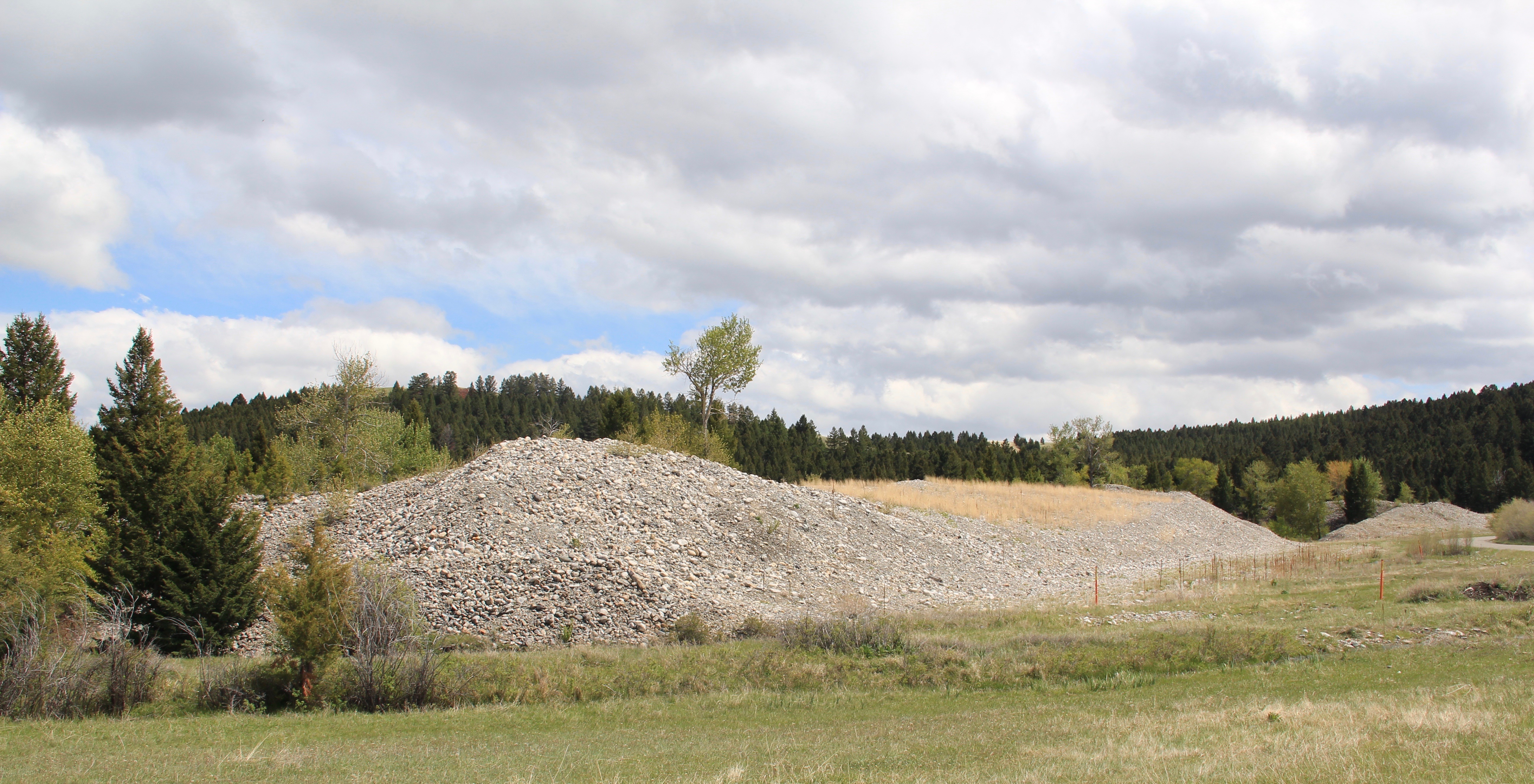
Tailings at Pioneer, Powell Co

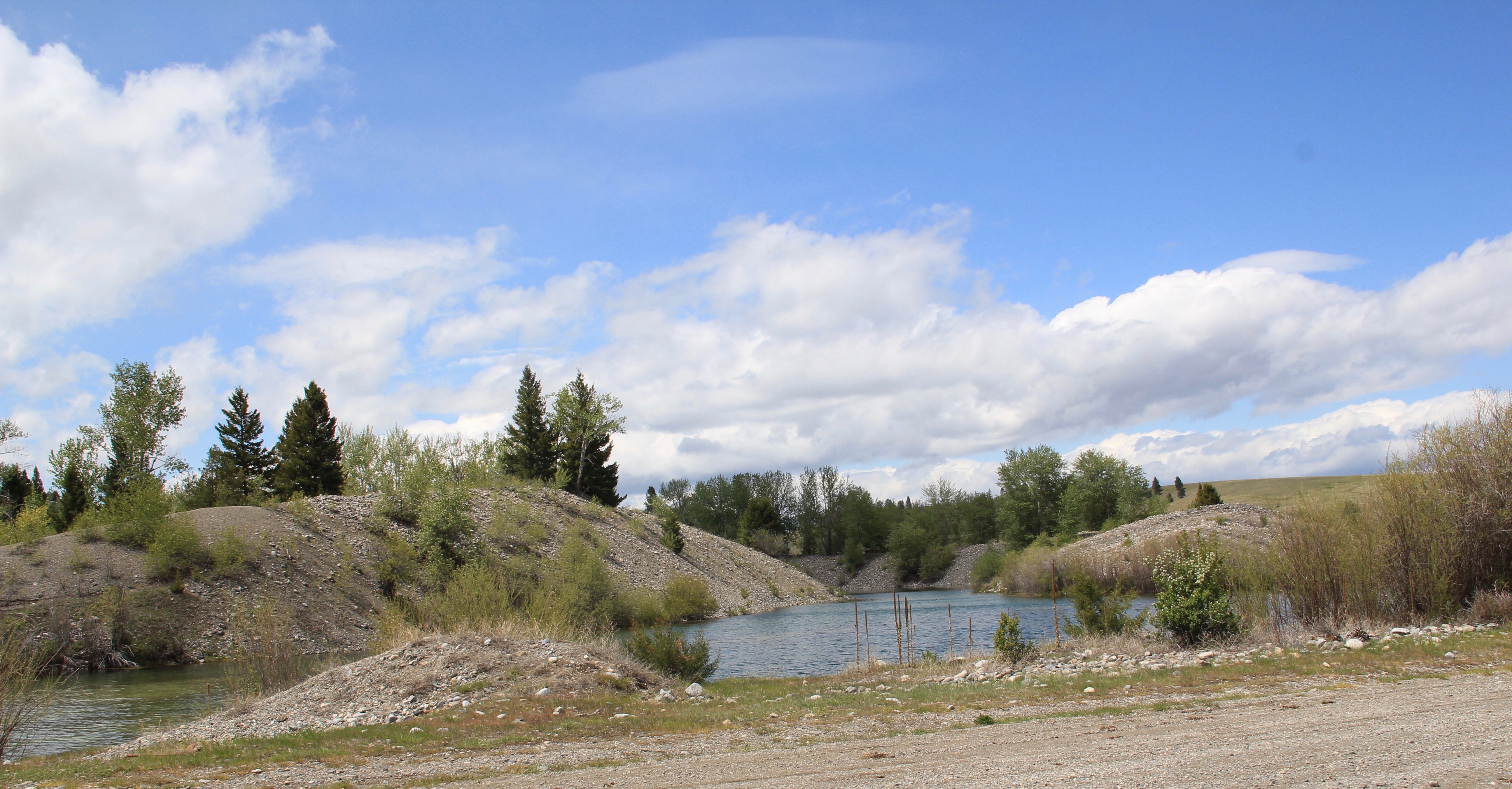
The road west of Gold Creek led into the later placer mining of the Pioneer Mining District (established 1866)–with the high mounds of tailings coming from much later efforts to dredge every bit of precious metal from the property.

Pioneer tailings, Powell CoRanchers had taken bits of older buildings from Pioneer and incorporated them into later structures between the mining district and Gold Creek.  Pioneer as a ghost town barely existed then and little marks its past except for the scars of mining.

Log barn E of Pioneer, Powell Co 2

Old buildings grafted into barn, E of Pioneer, Powell Co

Gold Creek, Powell Co

Gold Creek has existed since the dawn of Montana Territory but it has rarely caught a break–its monument about mining is landlocked on private property.  The interpretive markers about the Northern Pacific’s last spike are on the interstate at the Gold Creek Rest Area.  Much of what is there today dates to its last “boom” when the Milwaukee Road built through here c. 1908, but as regular readers of this blog know, the success of the Milwaukee and short lived and by 1980 it was bankrupt. Today little is left except the roadbed, as is the case, almost, in Gold Creek.

MR corridor, Gold Creek, Powell Co

I say almost because the Milwaukee Road located one of its electric transmission buildings in the middle of Gold Creek, along the electrified line. Abandoned when I surveyed the town in 1984, the building has been restored and put back into business.

MR power plant, Gold Creek, Powell Co

Milwaukee Road Electric Station facing the Northern Pacific line.

Two community institutions still shape Gold Creek. On the “far” end of town is the St. Mary’s Mission Catholic Church, built c. 1910, with its original Gothic design still intact.

Catholic Church, Gold Creek, Powell Co 1But the most important community institution (yes, the Dinner Bell Restaurant out on the interstate exit is important but it is a new business) is the Gold Creek School, a rather remarkable building in that residents took two standard homestead era one-room schools and connected them by way of a low roof “hyphen” between the front doors.

Gold Creek school, Powell CoAdaptation and survival–the story of many buildings at Gold Creek and Pioneer.  Historical markers are scarce there but the history in the landscape can still be read and explored.


Adaptive Reuse and Montana’s Depots

When I carried out the 1984-1985 survey of Montana as part of the state historic preservation planning process, one resource was at the forefront of my mind–railroad passenger stations.  Not only had recent scholarship by John Hudson and John Stilgoe brought new interest to the topic, there had been the recent bankruptcy of the Milwaukee Road, and the end of passenger service in large parts of the state, except along the Hi-Line of the old Great Northern Railway (where Amtrak still runs today.)

IMG_9052.JPG

The mid-20th century standardized design for Great Northern stations at Chester on US 2.

Some of the passenger stations in the major cities had already been converted into new uses, such as restaurants, offices, and various downtown commercial uses. The lovely turn of the twentieth century stations for the Great Northern (left) and the Milwaukee Road (right) in Great Falls showed how the location of the buildings, plus their

architectural quality and the amount of available space made them perfect candidates for adaptive reuse.  While the tenants have changed over the past 30 plus years, both buildings still serve as heritage anchors for the city. While success marked early adaptive reuse projects in Great Falls and Missoula, for instance, it was slow to come to Montana’s largest city–the neoclassical styled Northern Pacific depot was abandoned and

Billings 2006 002deteriorating in the mid-1980s but a determined effort to save the building and use it as an anchor for the Montana Avenue historic district has proven to be a great success in the 21st century.

In the 1984-1985 I documented hundreds of railroad depots across Big Sky Country.  From 2012-2015 I noted how many had disappeared–an opportunity to preserve heritage and put a well-located substantial building for the building back to work had been wasted.  But I also came away with a deep appreciation of just how many types of new lives train stations could have.

park County 2008 017

Turning iconic buildings into community museums is a time-honored tradition, as you can find at the magnificent Northern Pacific station at Livingston, shown above.  A handful of Montana communities have followed that tradition–I am especially glad that people in Harlowton and Wheatland County banded together to preserve the

IMG_9725.JPGMilwaukee Road depot there, since Harlowtown was such an important place in the railroad’s history as an electric line.

IMG_0003.JPG

But there are so many other uses–as they know in Lewistown.  Already in the mid-1980s investors in Lewistown had turned the old Milwaukee Road station, shown above, into a hotel and conference center, the Yogo Inn.  When I visited Lewistown in 2013 the Yogo was undergoing a facelift after 30 years as a commercial business. The town’s other

IMG_9910.JPG

IMG_9916.JPG

historic depot, a substantial brick building (above) from the Great Northern Railway, was a gas station, convenience mart, office building, and store, all in one.


Deer Lodge MT 2006 001

Deer Lodge MT 2006 002

Deer Lodge is blessed with both of its historic depots.  The Milwaukee Road depot has become a church while the Northern Pacific depot became the Powell County Senior Citizens Center.  Indeed, converting such a community landmark into a community center is popular in other Montana towns, such as the National Register-listed passenger station shown below in Kevin, Toole County, near the border with Canada.

IMG_9152.JPG

One of the most encouraging trends of this century is how many families have turned depots into their homes–you can’t beat the location and the long, horizontal nature of the often-found combination depot (passenger station and luggage warehouse in same building) means that these dwellings have much in common with the later Ranch-style houses of the 1950s and 1960s.

IMG_9840.JPG

A former Great Northern depot in Windham.

IMG_0125.JPG

A Milwaukee Road depot turned into a home in Rosebud County.

But in my work from 2012-15 I found more and more examples of how local entrepreneurs have turned these historic buildings into businesses–from a very simple, direct conversion from depot to warehouse in Grassrange to the use of the Milwaukee Road depot in Roundup as the local electric company office.

IMG_0020.JPG

IMG_0051.JPG

As these last examples attest–old buildings can still serve communities, economically and gracefully.  Not all historic preservation means the creation of a museum–that is the best course in only a few cases.  But well-built and maintained historic buildings can be almost anything else–the enduring lesson of adaptive reuse