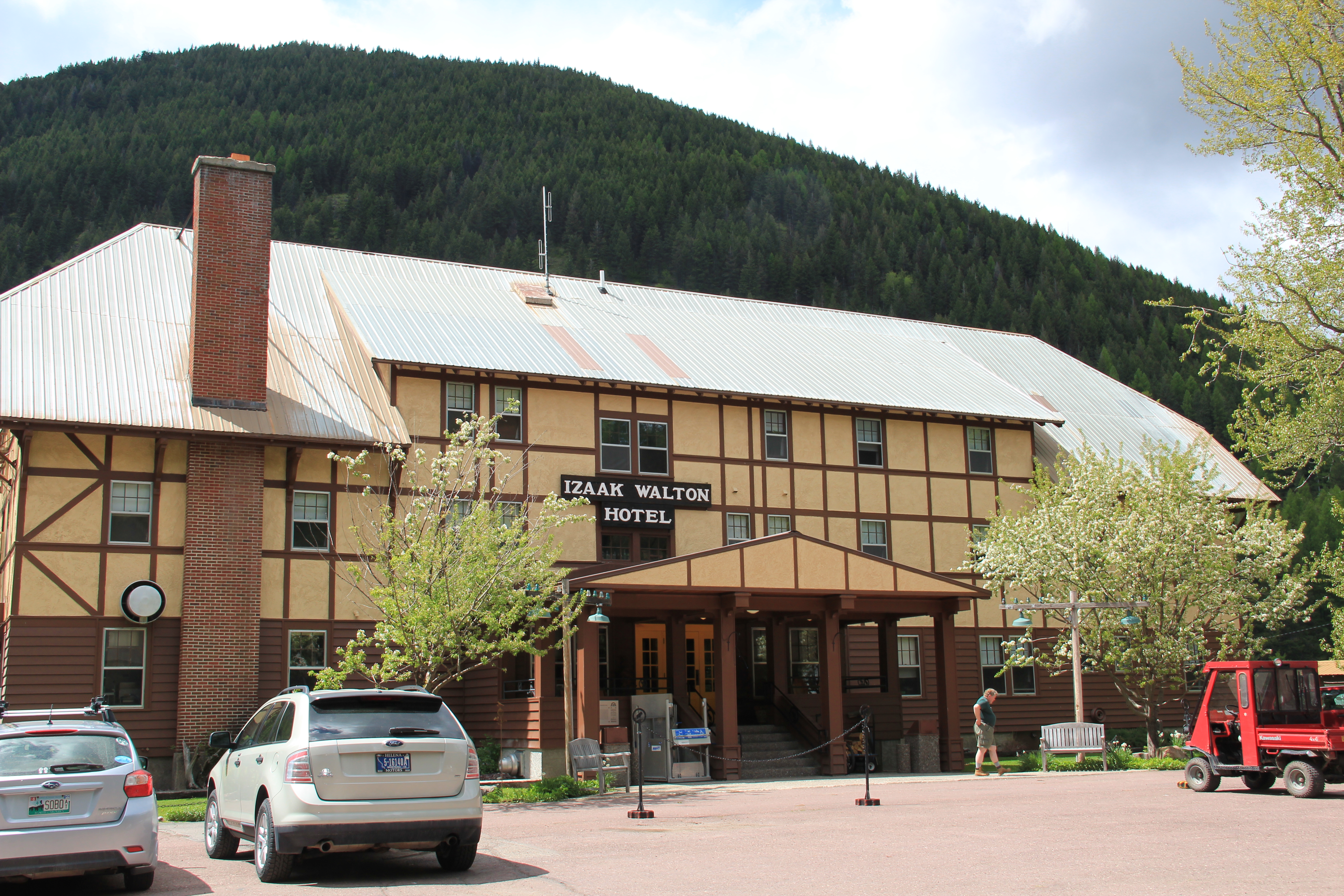
The news came like a thunderbolt in the December 16, 2022 edition of the Montana Free press: the Izaak Walton Inn had been sold to LOGE Camps.

I must admit that the place is special to me because it was one of the first National Register of Historic Places nominations that I had ever worked on. As I have discussed earlier in this blog, my task was to document its extraordinary significance because at that time of nomination (1984) the building was not yet 50 years old.
Making the case was not that difficult because when it was built in 1939, it basically WAS the village of Essex: lodging for railroad workers, food, bar, post office, etc., but I have covered these points earlier in the blog. I stopped in May 2023 to document the place one last time, before n auction of interior stuff and collections and before renovations began.
In that December 16, 2022 Montana Free Press story, LOGE Camps official Slate “Olson said LOGE was well aware of the inn’s history and is not planning drastic changes to the property. However, the company does plan to make upgrades. Olson said it’ was’s too early to know exactly what those improvements will be, but that new furniture and room amenities are likely on deck in the coming year. We have a ton of respect for the history of the Izaak Walton Inn,” he said. “We want to create a destination where you feel the history, but you also appreciate the updated touches and amenities.””
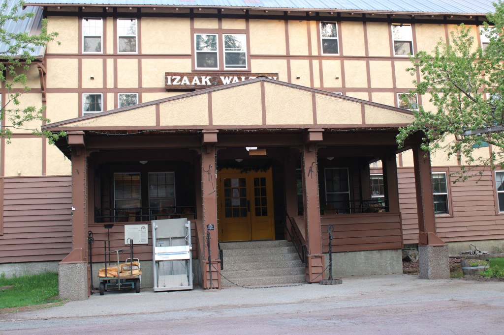

Let’s hope so. A good part of the historic integrity of the property lies with its rough edges. The old boarding houses was upgraded to a degree in the mid-1980s, certainly. But you also had the right spaces, the post office boxes, and the laid back vibe of common areas. And wi-fi: well good luck once you left the link in the lobby.


Believe me, I get it. Historic places are always changing. But here at Essex you have to accept that the building was a key part of a working landscape of the railroad. That its history will forever be tied to the tracks and the people who worked here. Take away that gritty reality, and you lose so much.


Here’s to the first 38 years of the Izaak Walton Inn as a National Register landmark adjacent to Glacier National Park. Let’s hope the next generations recognize and nurture the qualities that make it special.

 All of Glacier National Park is spectacular, frankly, but as you reach Logan Pass and consider the historic architecture on the east side of the park, often the landscape itself overpowers the man-made environment, be it the modernist visitor center at Logan Pass, above to the left of center of the image, or the Many Glacier Hotel on the north end of the park, below. The manmade is insignificant compared to the grandeur of the mountains.
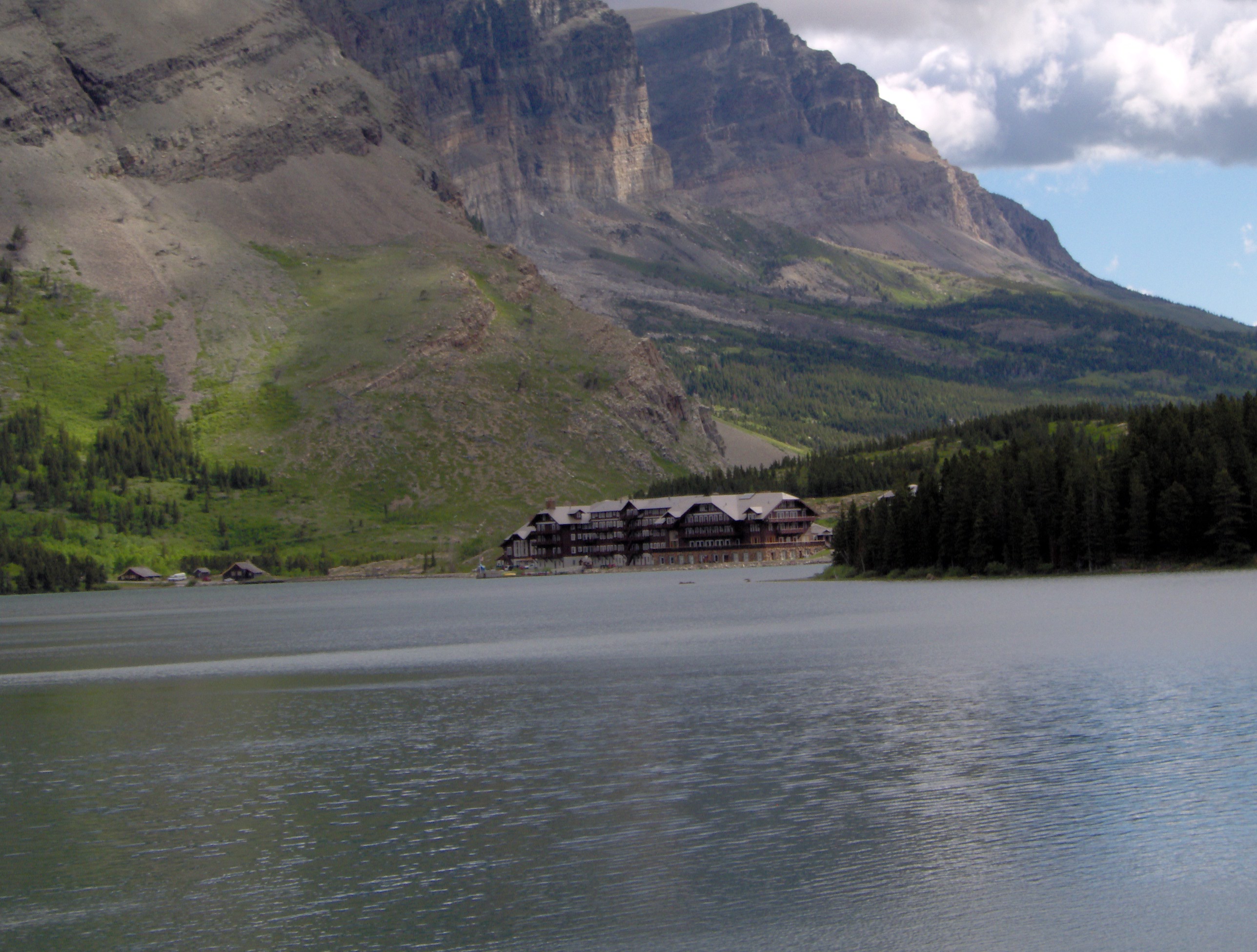 The reverse is true at East Glacier, where the mammoth Glacier Park Lodge competes with the surrounding environment. The massive log hotel was the brainchild of Louis Hill, the president of the Great Northern Railway, who wished for a building that could mirror the earlier 1905 Forestry Hall for the Lewis and Clark Centennial Exposition. Hill had the vision but architect Samuel L. Bartlett of St. Paul, Minnesota, carried the vision into an architectural plan.
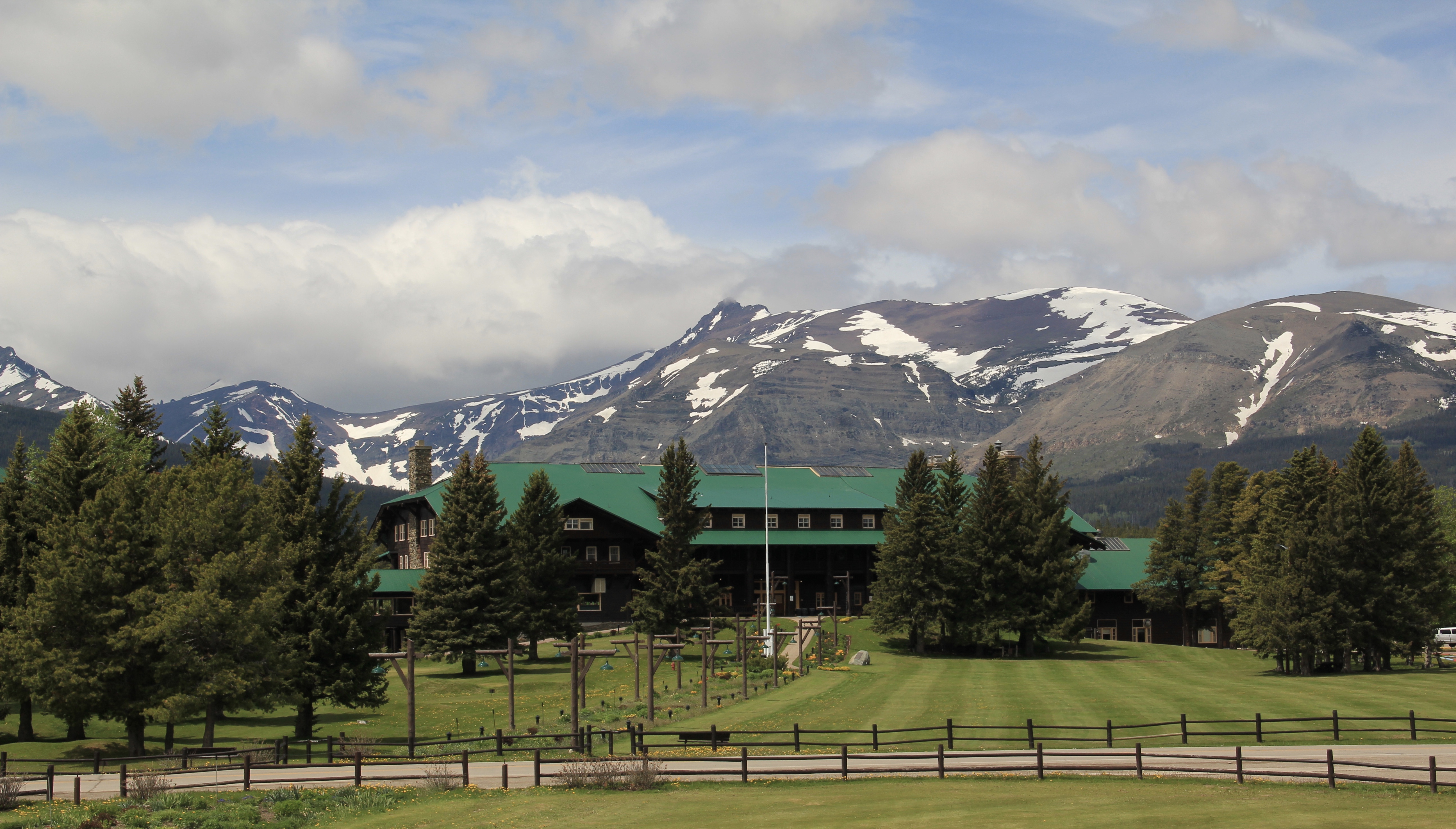
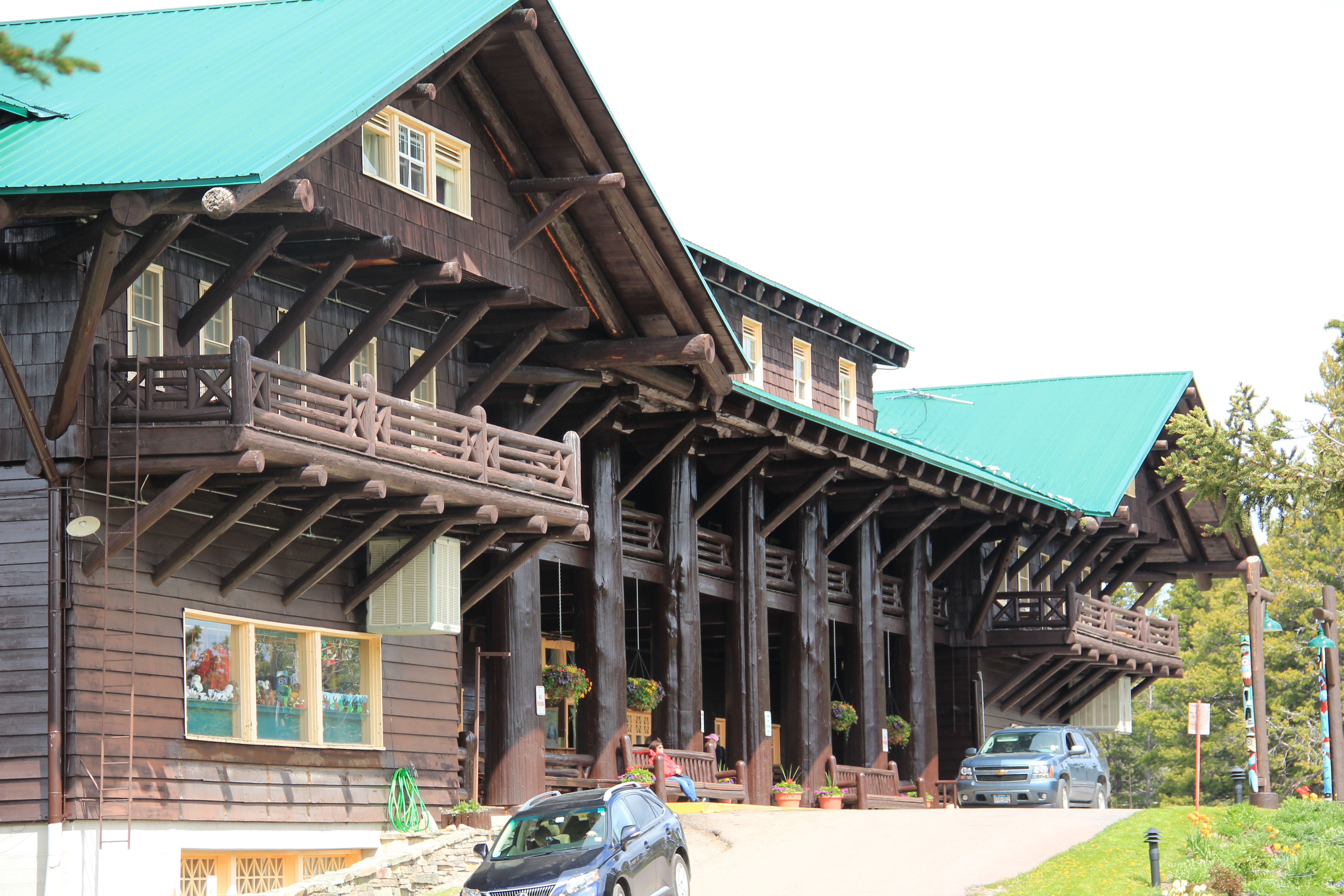


 But the long landscaped walkway from the Glacier Park Lodge to the Great Northern passenger station, also themed in Rustic style, let everyone know who was in charge–the railroad, whose influence created the national park and then built the facilities that defined the look of the park for the next 100 years.
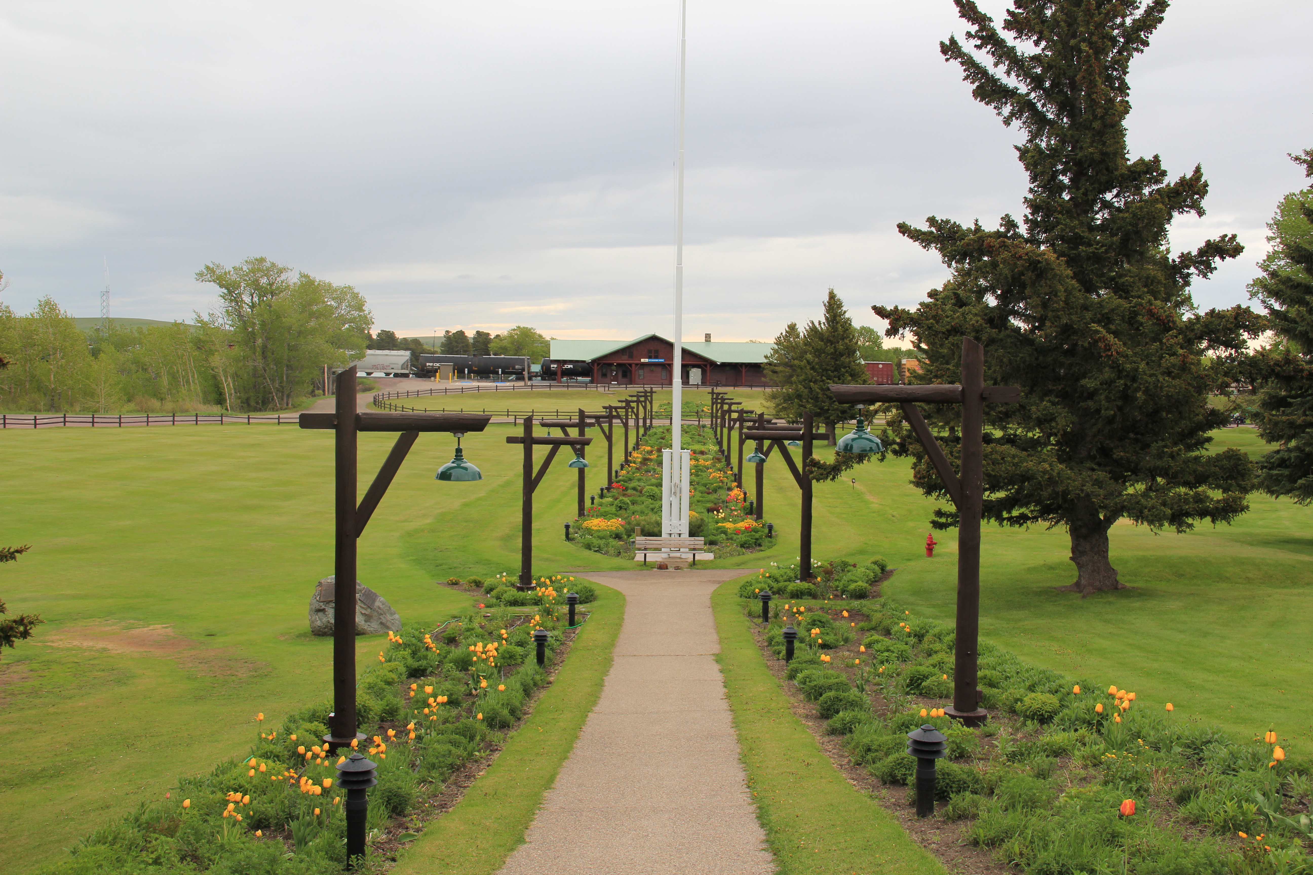


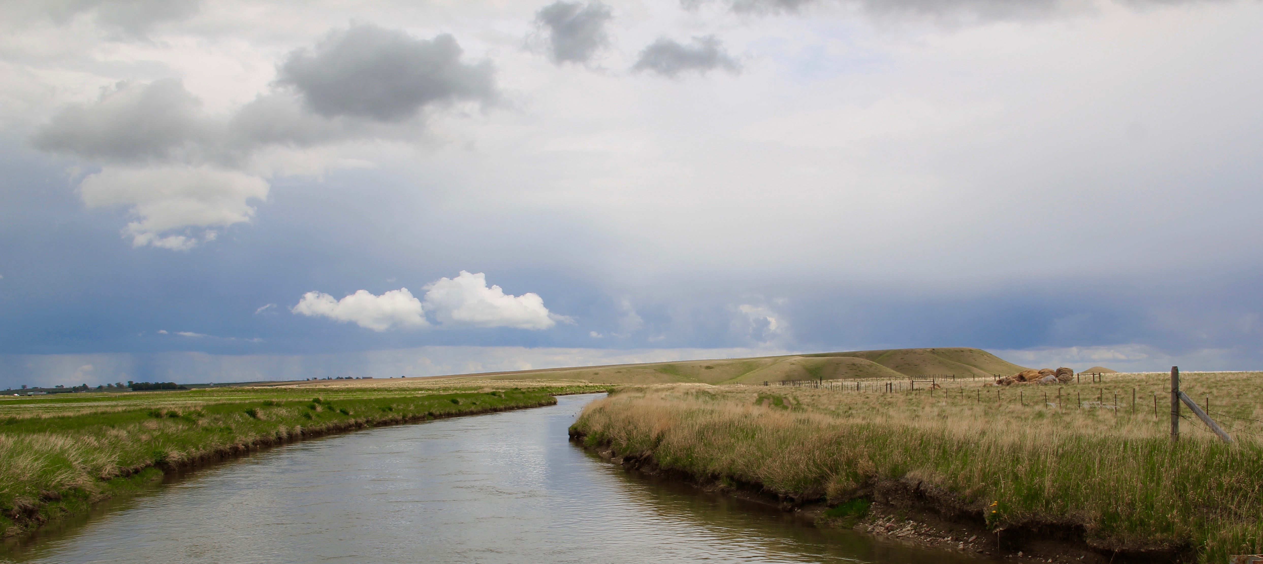 We just finished an exploration of U.S. Highway south from Great Falls to Livingston, the gateway to Yellowstone National Park. Now let’s head in the opposite direction, north of Great Falls to Glacier National Park. In the first half of this trek, one great man-made landscape dominates either side of the road–the Sun River Irrigation Project, established by the U.S. Bureau of Reclamation in 1906 but not completed until the late 1920s.

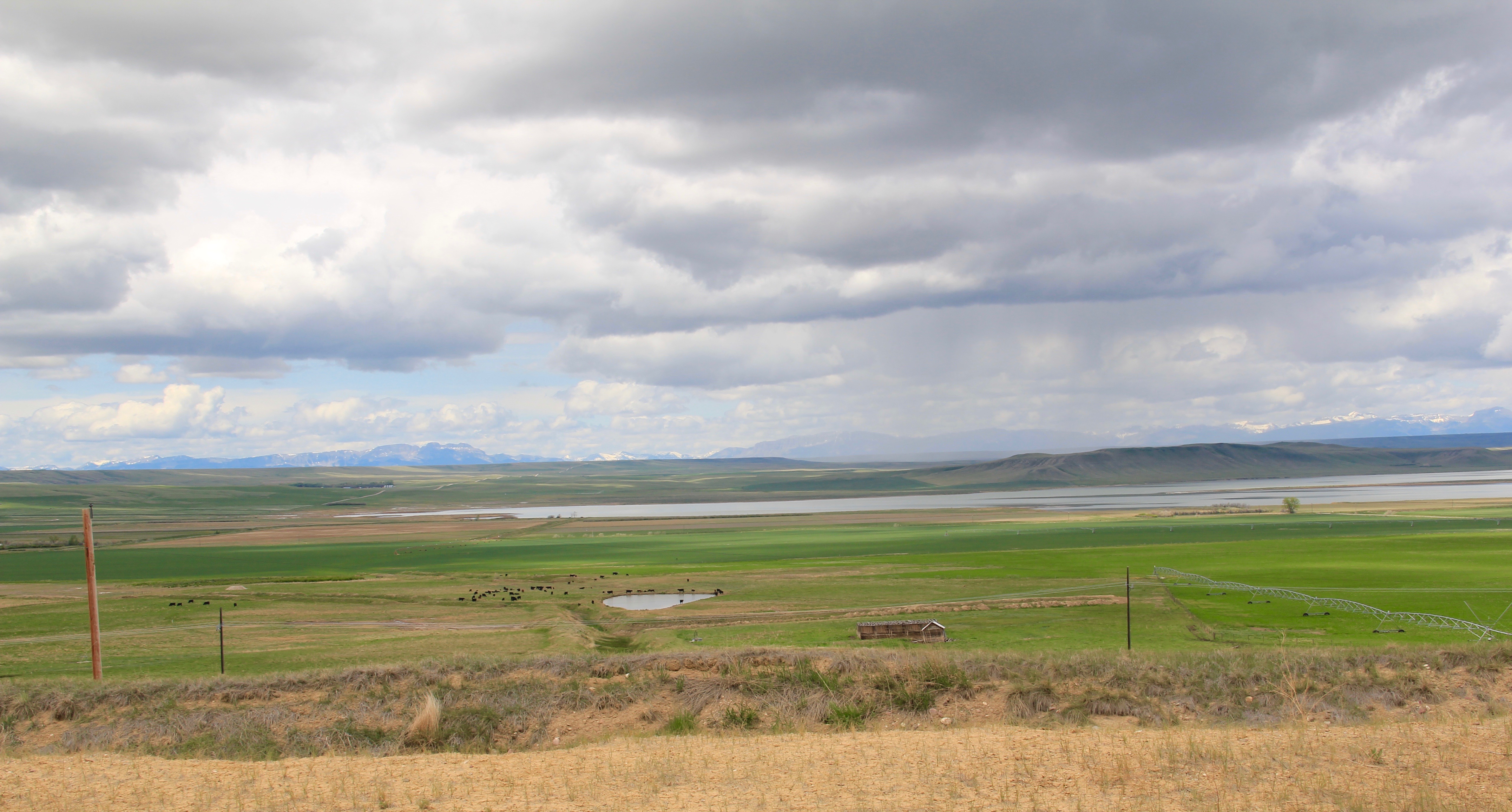
 Feeding in and out of Fairfield are multiple canals and ditches, with the great bulk of land devoted to the production of malting barley, under

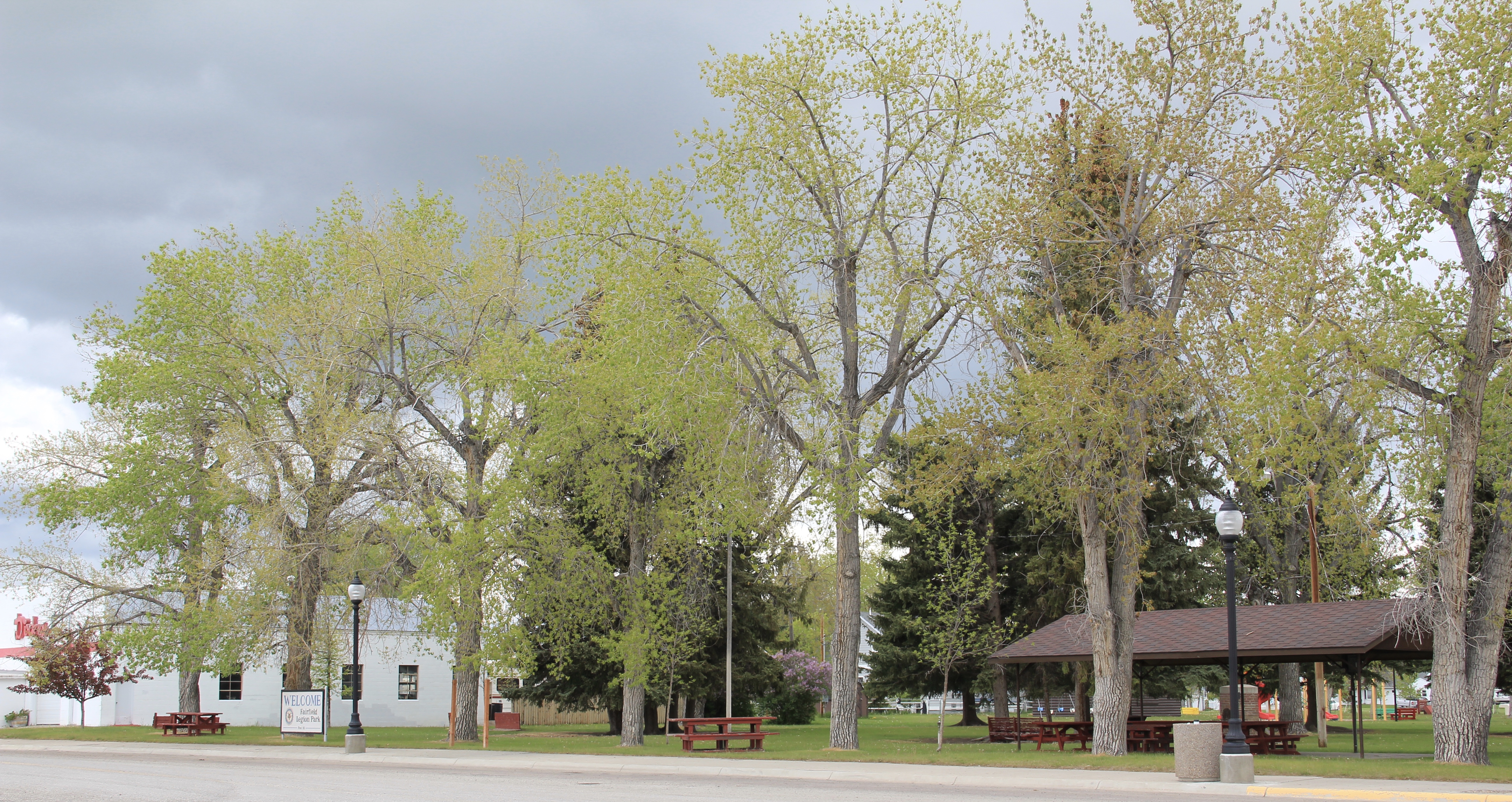
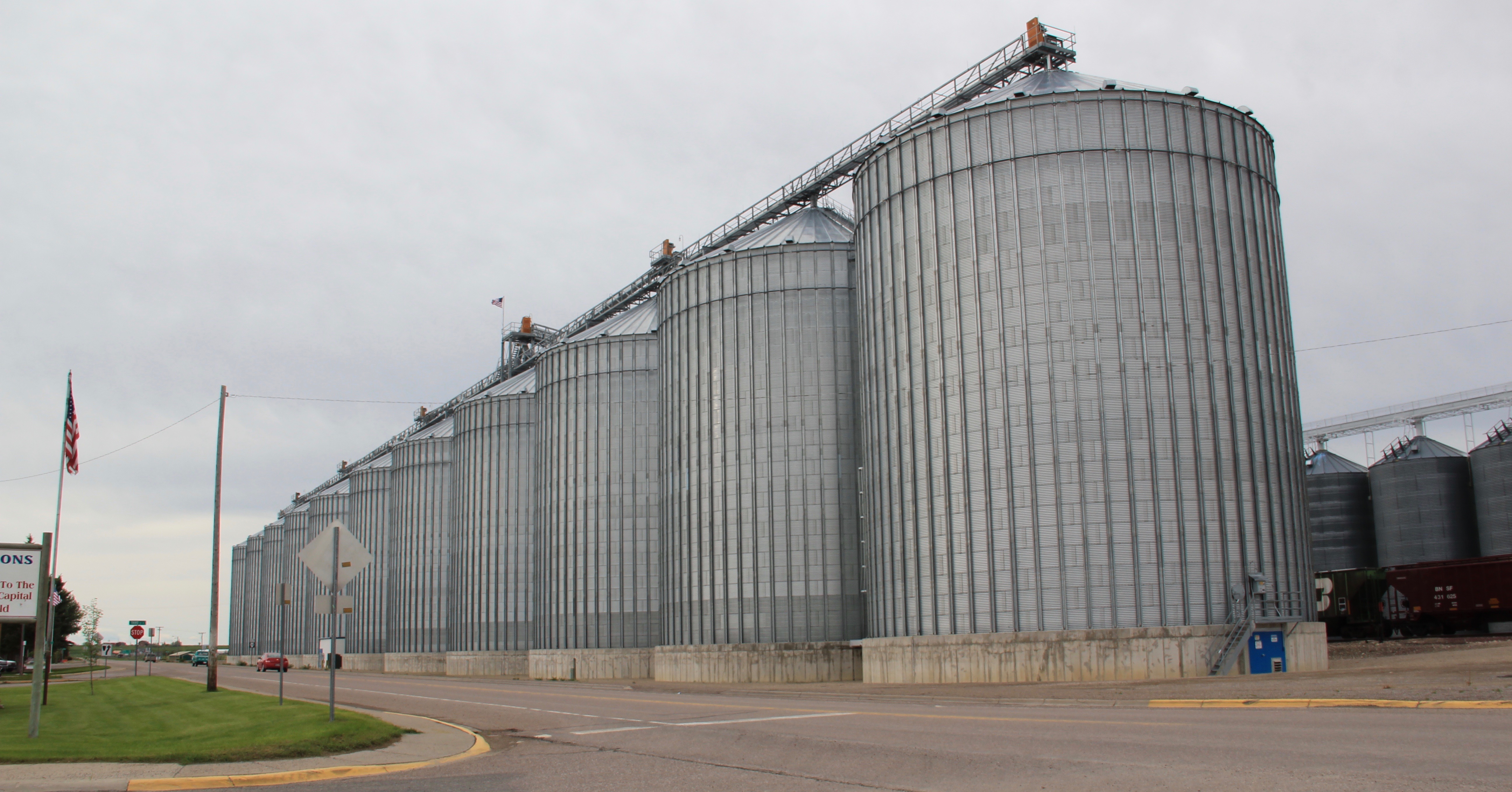 Fairfield itself is a classic T-plan railroad town. The barley granaries dominate the trackside, where also is located the headquarters for the Greenfields Irrigation District, so designated in 1926.
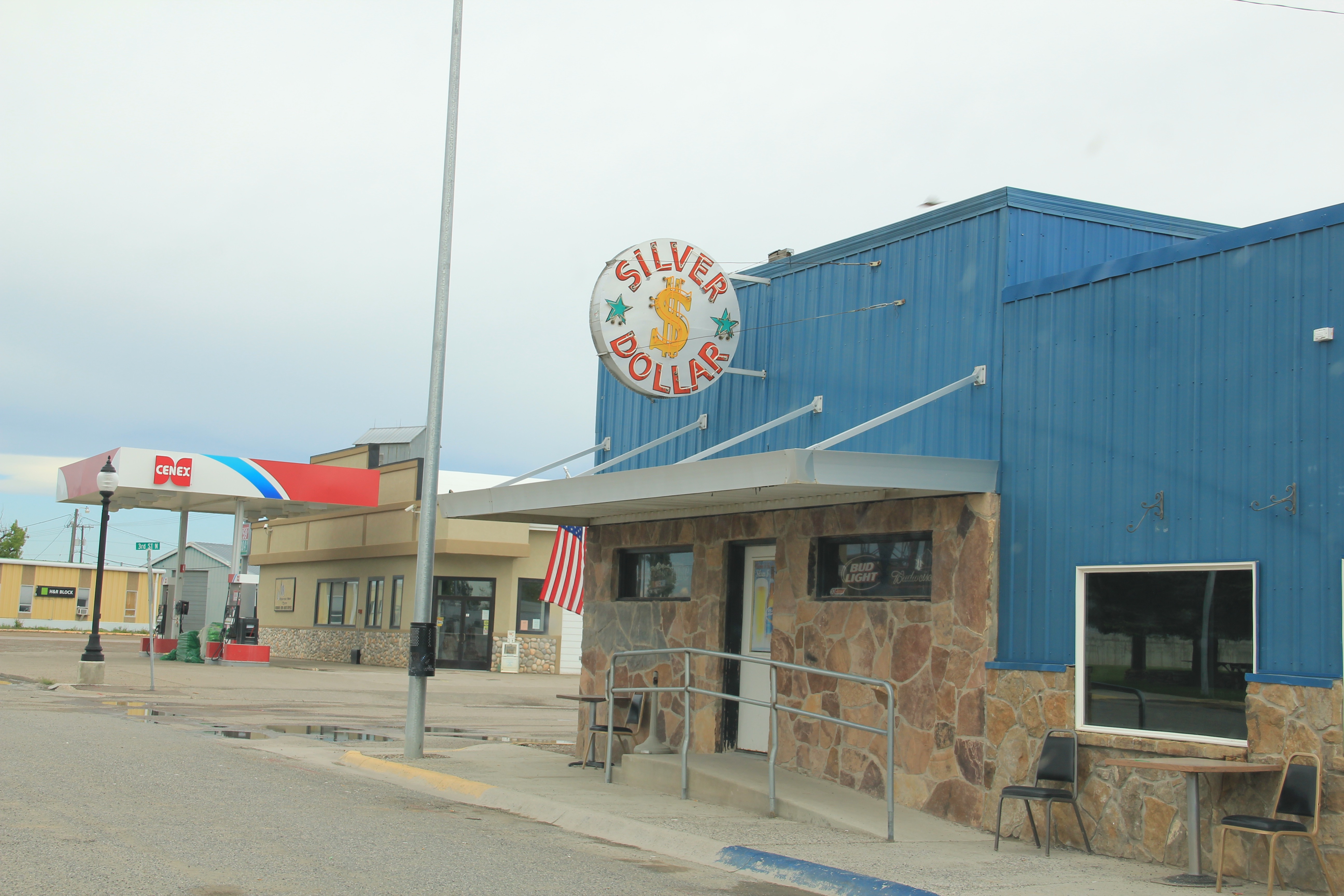
 Along the stem of the “T” plan are all of the primary commercial buildings of the town, from an unassuming log visitor center to various one-story commercial buildings, and, naturally, a classic bar, the Silver Dollar.


 Public spaces and institutions are located at the bottom of the “T,” including a community park and swimming pool, a c. 1960 community hall, and an Art-Deco styled Fairfield High School. The park, pool, and high school were all part of the second period of federal improvement at Fairfield during the New Deal era.


 As the highway leaves the central plains east of Great Falls, it heads east through coal country (see the earlier post on Belt) and south into the Little Belt Mountains and the old mining towns of Monarch and Neihart (above). Both Cascade County towns are proud of their heritage, a story embodied in the Monarch-Neihart School, a wonderful bit of log craftsmanship from the New Deal era, a WPA project finished in 1940 that is listed in the National Register of Historic Places.
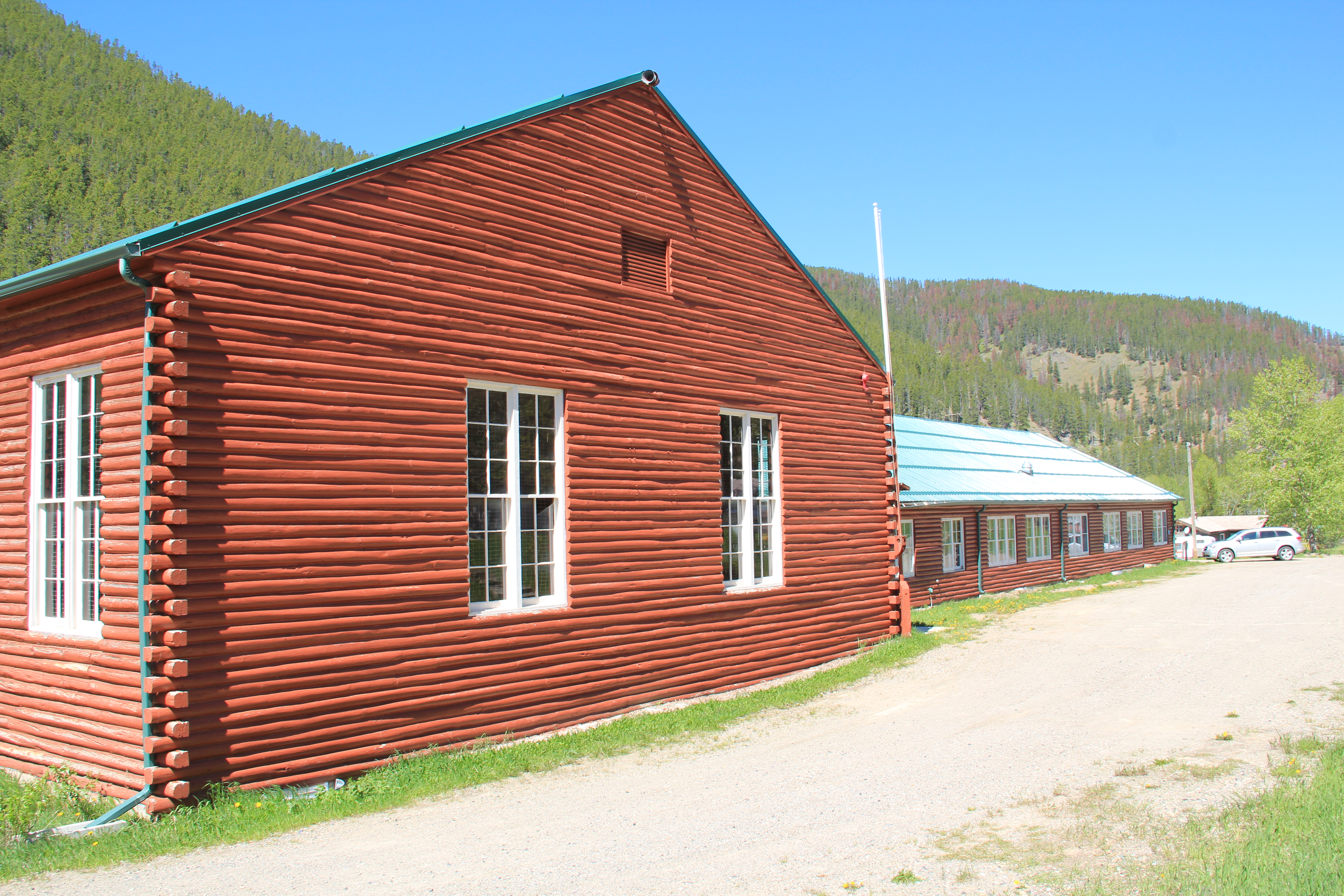
 When I last visited there in 2015 the combined route of U.S. 89 and 12, which passes in front of the courthouse and the center of town, was being rebuilt, giving the historic business district the look of a ghost town.

 U.S. Highway 89 continues south, crossing the historic corridor of the Milwaukee Road at Ringling, another Meagher County town discussed in an earlier post, marked by the landmark St. John’s Catholic Church.
 Travelers continuing south soon find themselves in Park County, entering the Shields River Valley just north of Wilsall, where highway markers and monuments, like that for “Thunder Jack” (2006) by sculptor Gary Kerby, convey the significance of the place.
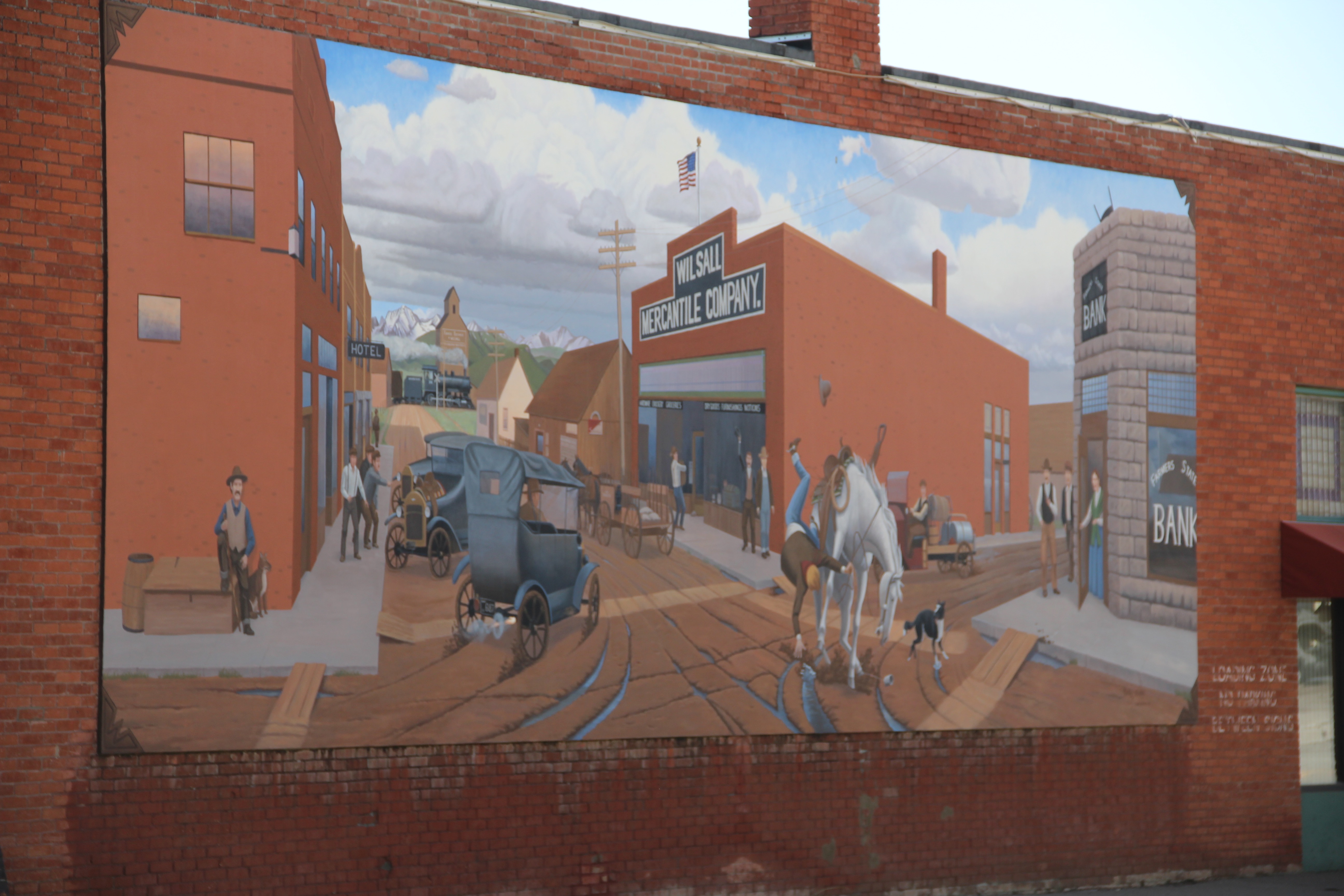
 Wilsall was not much a place 30 years ago, a small trade town on the edge of a Northern Pacific Railroad spur line, a past still recalled by the tall elevator and old railroad corridor.
 But the growing popularity of the Shields River Valley has led to a new boom in Walsall, with old banks converted into bars and old general stores


 Clyde Park Tavern is still the place to go for an adult beverage, or two. Historic grain elevators still serve local ranchers, marking the railroad line that defined the town’s landscape until the impact of the highway in the early 20th century.

 Many heritage areas in the eastern United States emphasize the relationship between rivers, railroads, and industrial development and how those resources contributed to national economic growth and wartime mobilization. Great Falls can do that too. Situated on the Missouri River and designed by its founders to be a northwest industrial center, entrepreneurs counted on the falls to be a source of power and then on the railroads coming from Minnesota, especially the promising Manitoba Road headed by James J. Hill, to provide the transportation.
 Paris Gibson, the promoter of the Electric City, allied his interests to two of most powerful capitalists of the region: Marcus Daly, the baron of the Anaconda Copper Company interests and James J. Hill, the future rail king of the northwest. Their alliance is embodied in several different properties in the city but the most significant place was where the Anaconda Copper Company smelter operated at Black Eagle until the last decades of the 20th century. When I surveyed Great Falls for the state

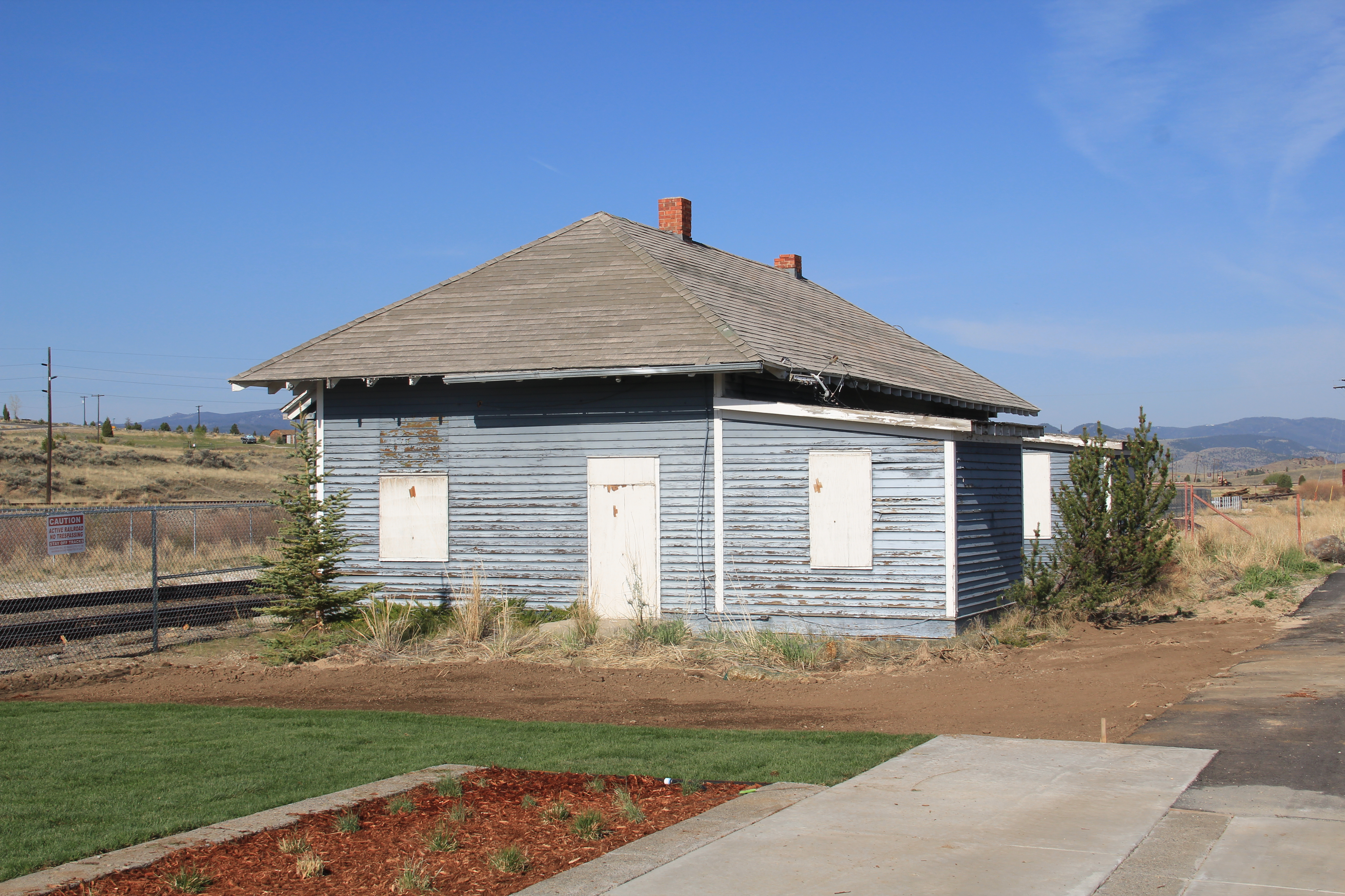
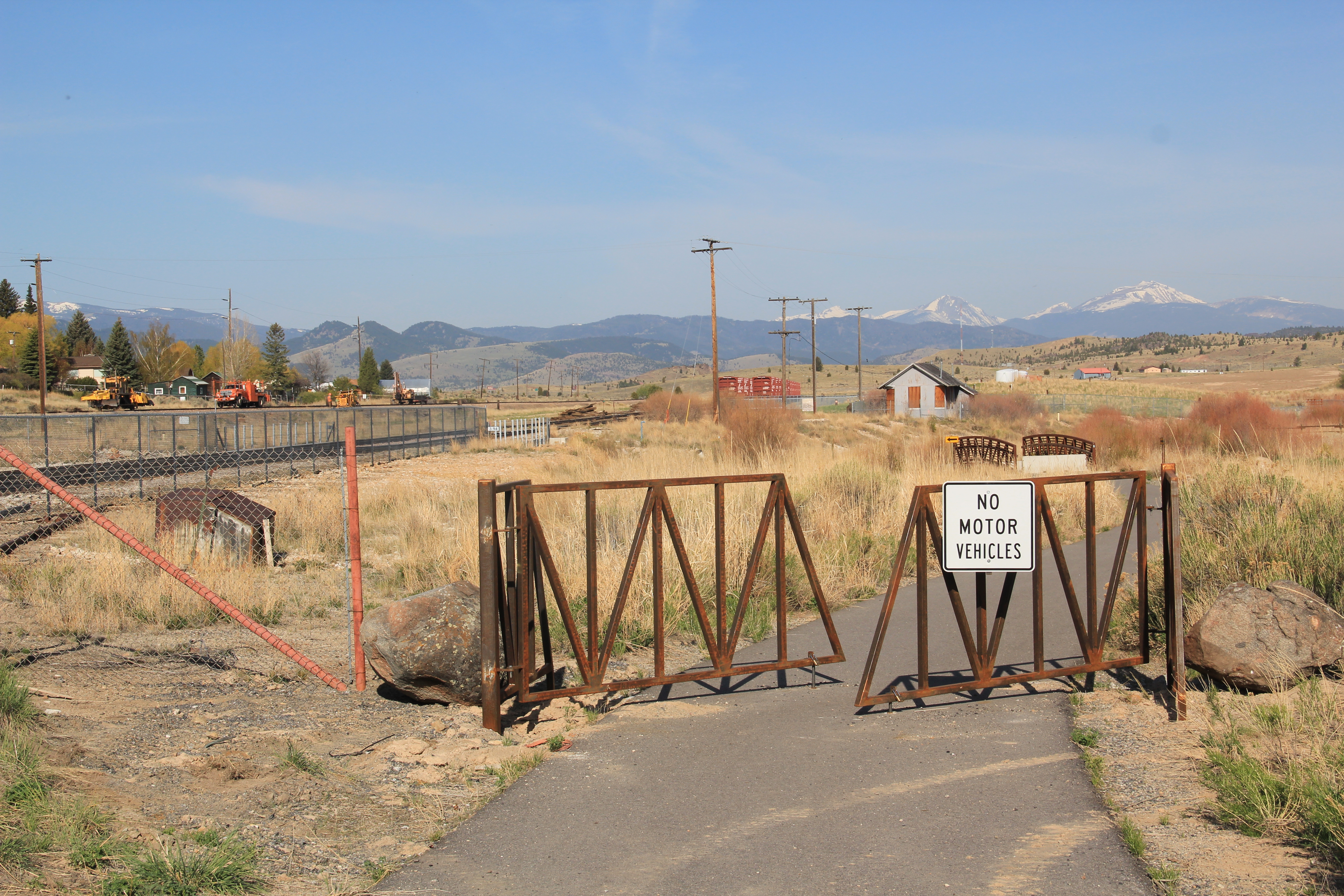
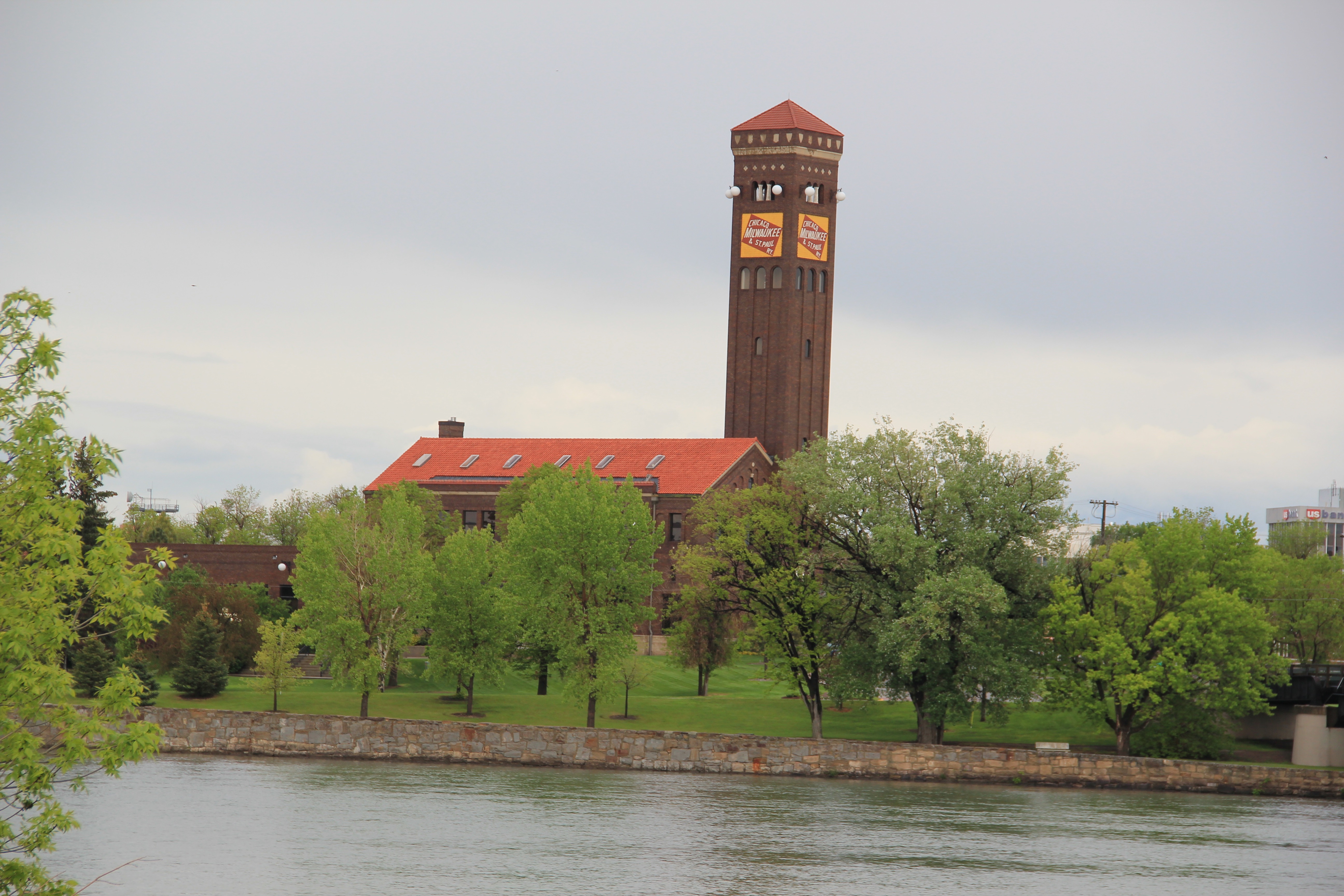 decade of the 20th century and soon erected its tall tower depot right on the Missouri River. But wherever you go along the river you find significant buildings associated with the Great Northern and its allied branch the Montana Central Railroad, especially the downtown warehouses. Some are still fulfilling their original function but others