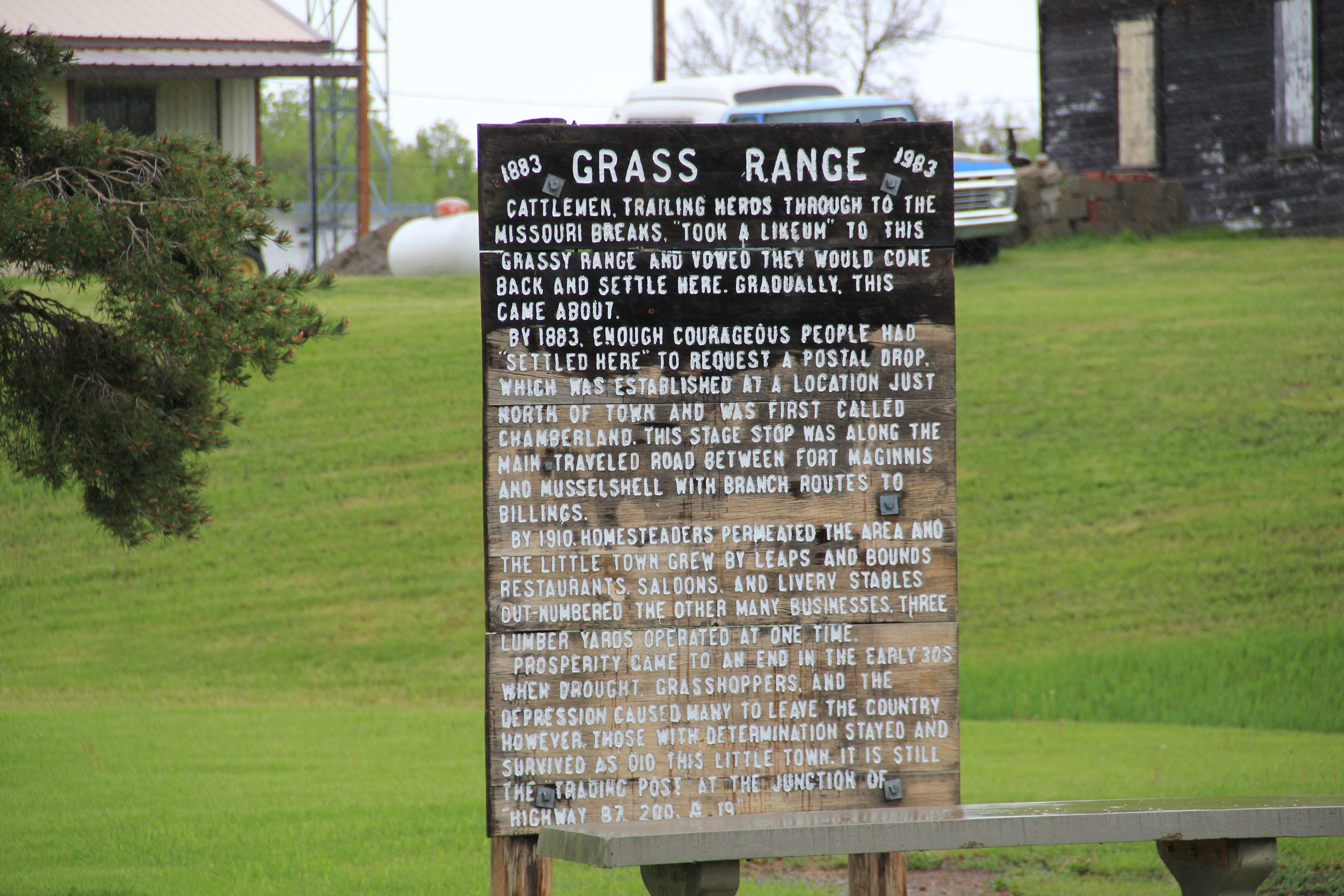
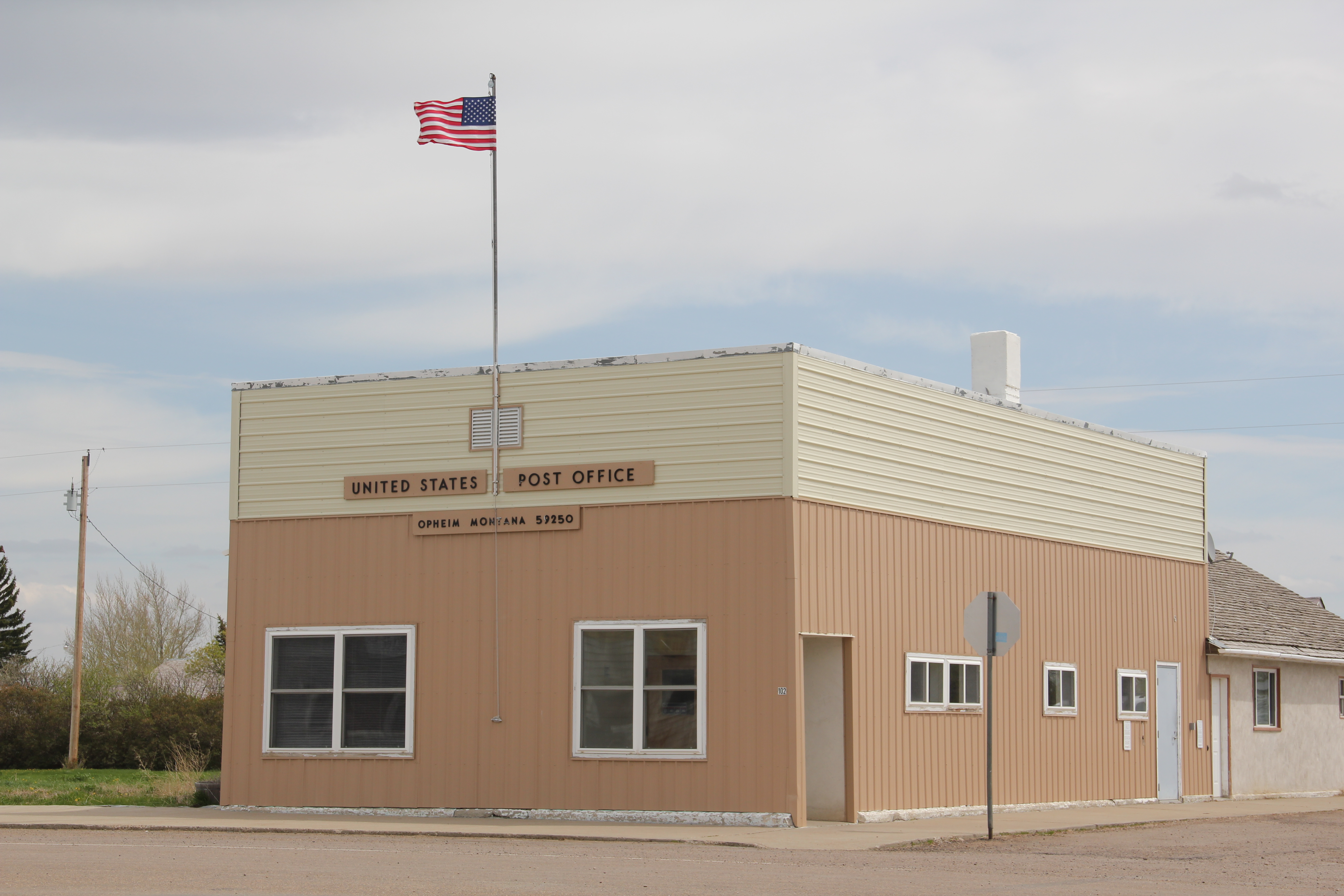
My last post looked at the disappearing towns of the Milwaukee Road in central Montana’s Meagher County. Those themes of a railroad, town creation, and abandonment were constant in several posts as I traced the imprint of the Milwaukee on Montana’s landscape in the 20th century. However, not all central Montana plains towns tied to the Milwaukee Road have disappeared–Geraldine in Chouteau County is one of those exceptions.
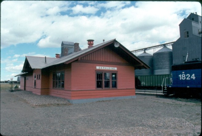
Milwaukee Road depot at Geraldine, c. 1998
Geraldine was established c. 1913 along a major spur line of the Milwaukee Road that connected its division point at Harlowtown to the much larger railroad transportation center of Great Falls to the north. Due to the richness of the high plains agriculture of southern Chouteau County–the land south of the Missouri River–and the commitment of its citizens, Geraldine has remained generally solid through the decades. According to census records, the town has never topped 400 residents, 375 being the largest number of residents, and now, according to the 2010 count, there are only about 100 less, a little over 260 residents. Losing what amounts to 25-30% of the population over the 100 years sounds like a disappearing town, true, but in an eastern Montana perspective, it is not. As this blog has documented at many places, too many plains country towns have lost 50% or more of their population in just the last 30 years.
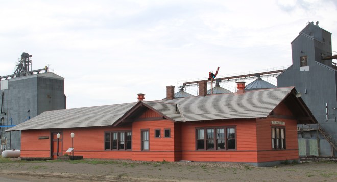
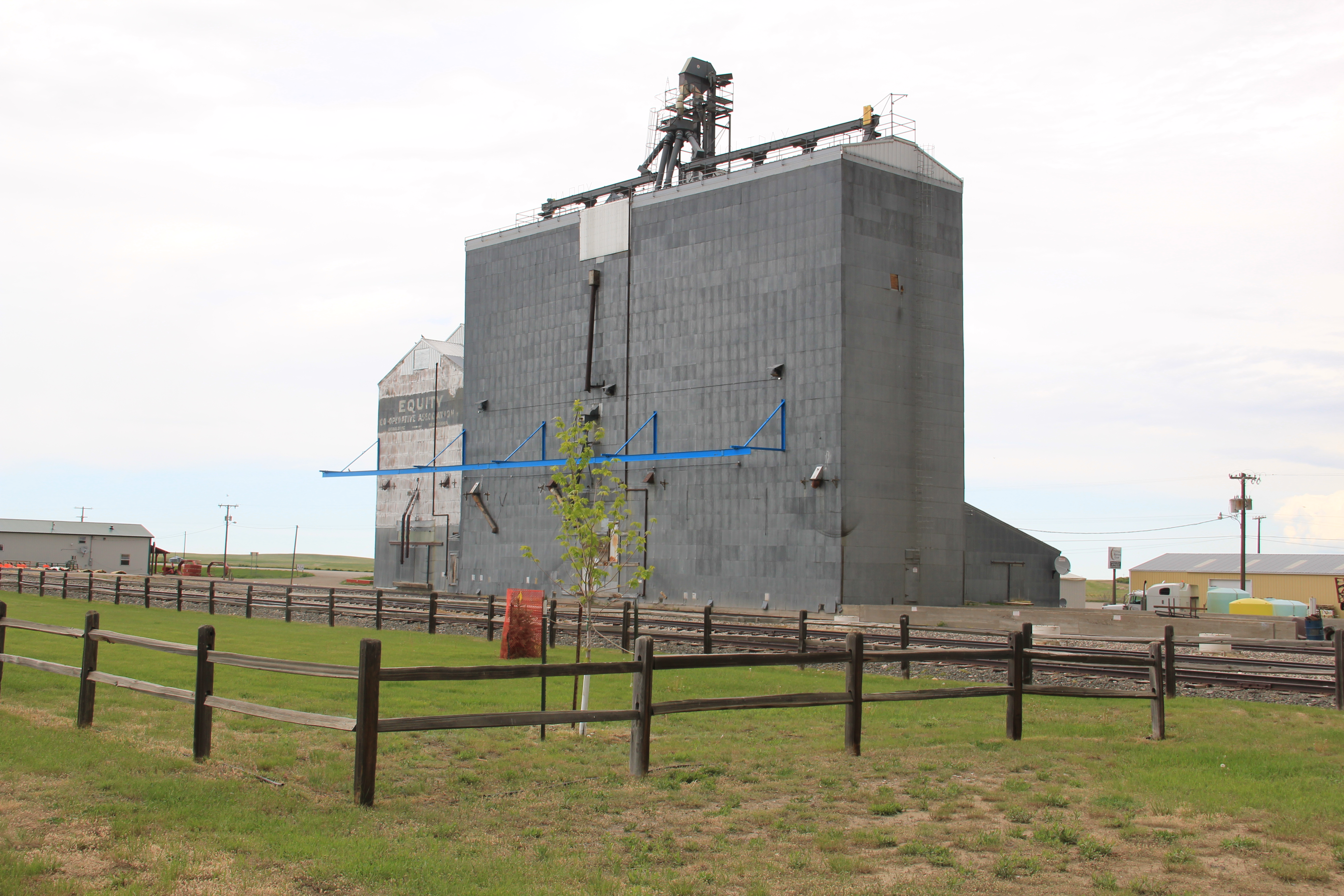
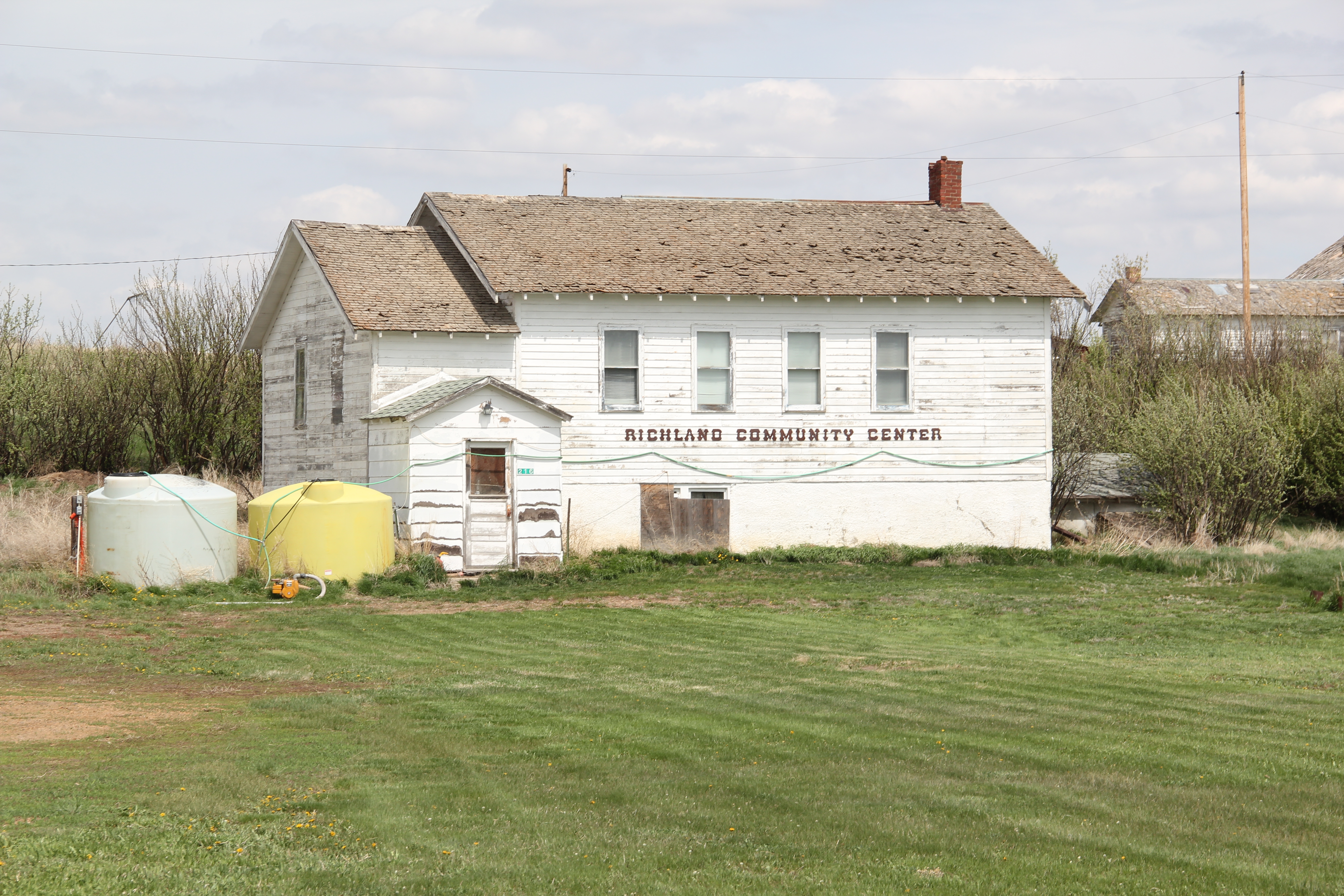
In the 1984-85 historic preservation survey, Geraldine impressed me for several reasons. First was the dominating presence of the grain elevators, as seen above and with the first photo in this blog. I had grown accustomed to Milwaukee Road towns where the corporate standardized design for the combination depot–a building that joined both freight and passenger operations–dominated the railroad corridor. Here the elevators punctuate the skyline and loom over the town itself–the railroad created the need for them, certainly, but by the end of the 20th century the elevators were still viable businesses while the depot had become a local museum and community center.

Then there was the town plan. Milwaukee Road country towns were “T-plan” towns where the tracks, depot, and elevators defined the top of the T while the town’s business district formed the stem of the T. Geraldine was a bit different, a tilted T-plan town, where the top
 of the T, due to the railroad’s approach was slanted, giving Geraldine, compared to other Milwaukee towns, an off-kilter look. Geraldine also still had business, although the number of independent places had diminished since 1984-1985. Two key institutions today are

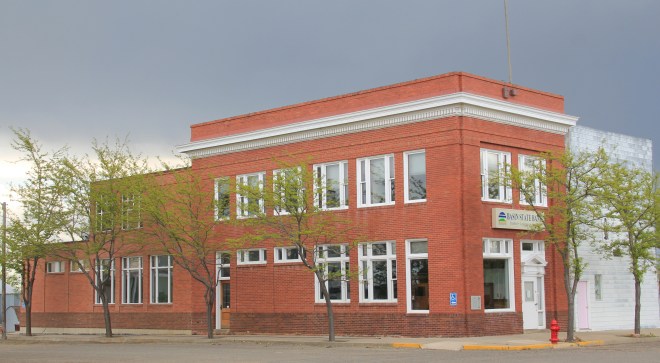
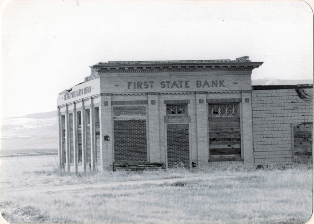
the local state bank, a Classical Revival-styled two-story building from c. 1914 that is listed in the National Register of Historic Places as the First National Bank of Geraldine. Unlike scores of other local institutions in the 1920s and 1930s, the Geraldine bank did not close its doors and continues to serve ranchers and town residents today. It is a rock from Geraldine’s past that surely helps to define its future. The same can be said for the
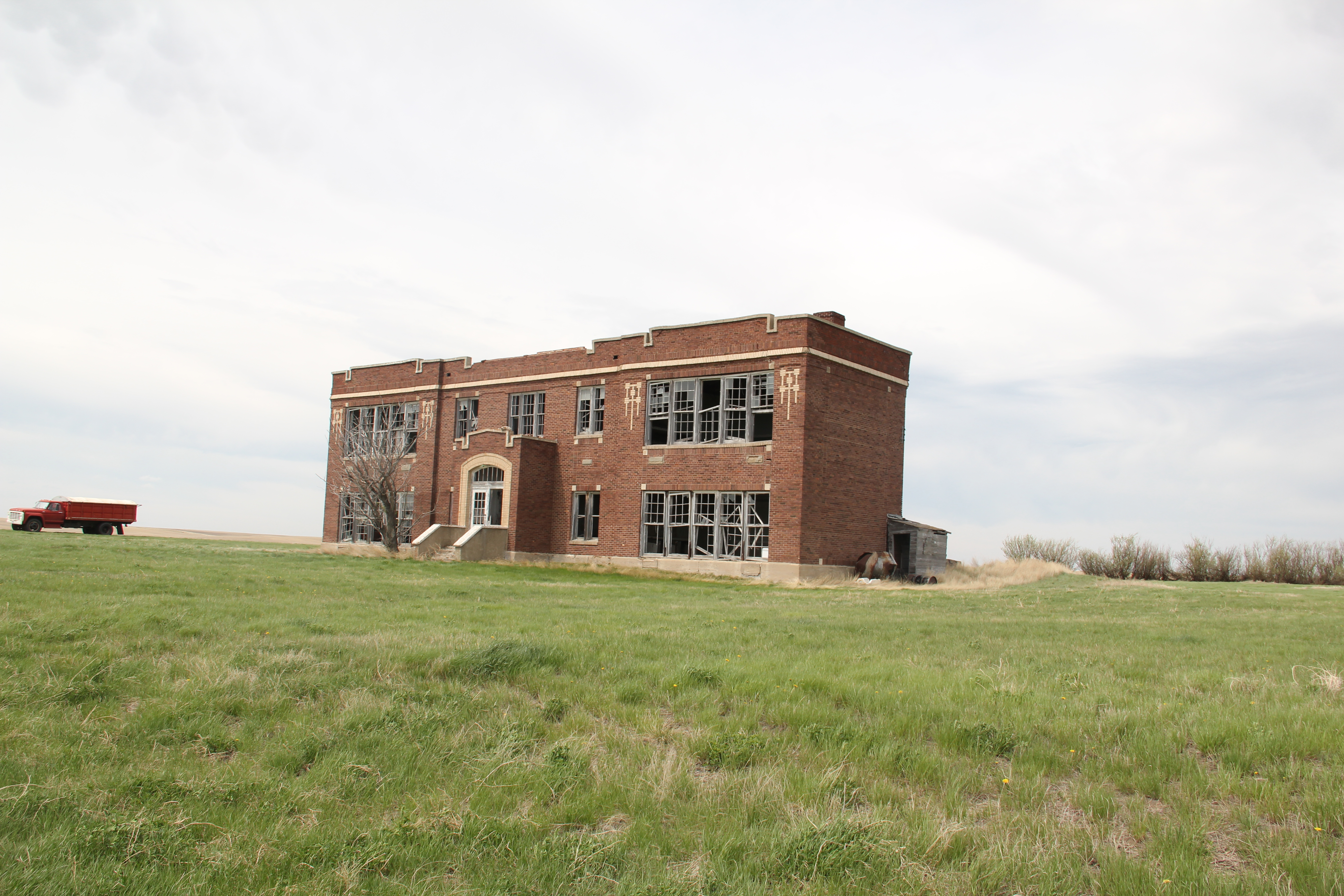
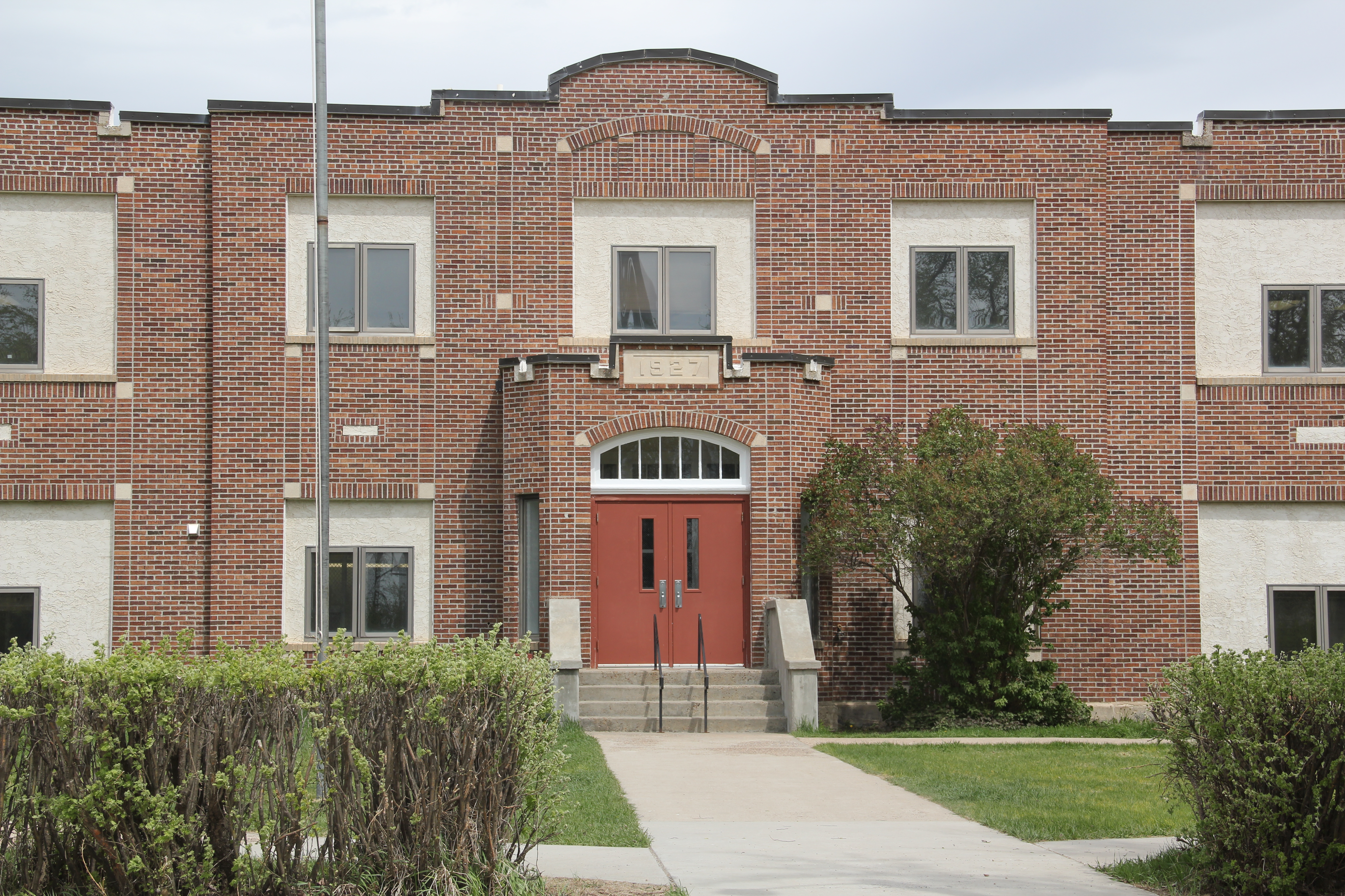
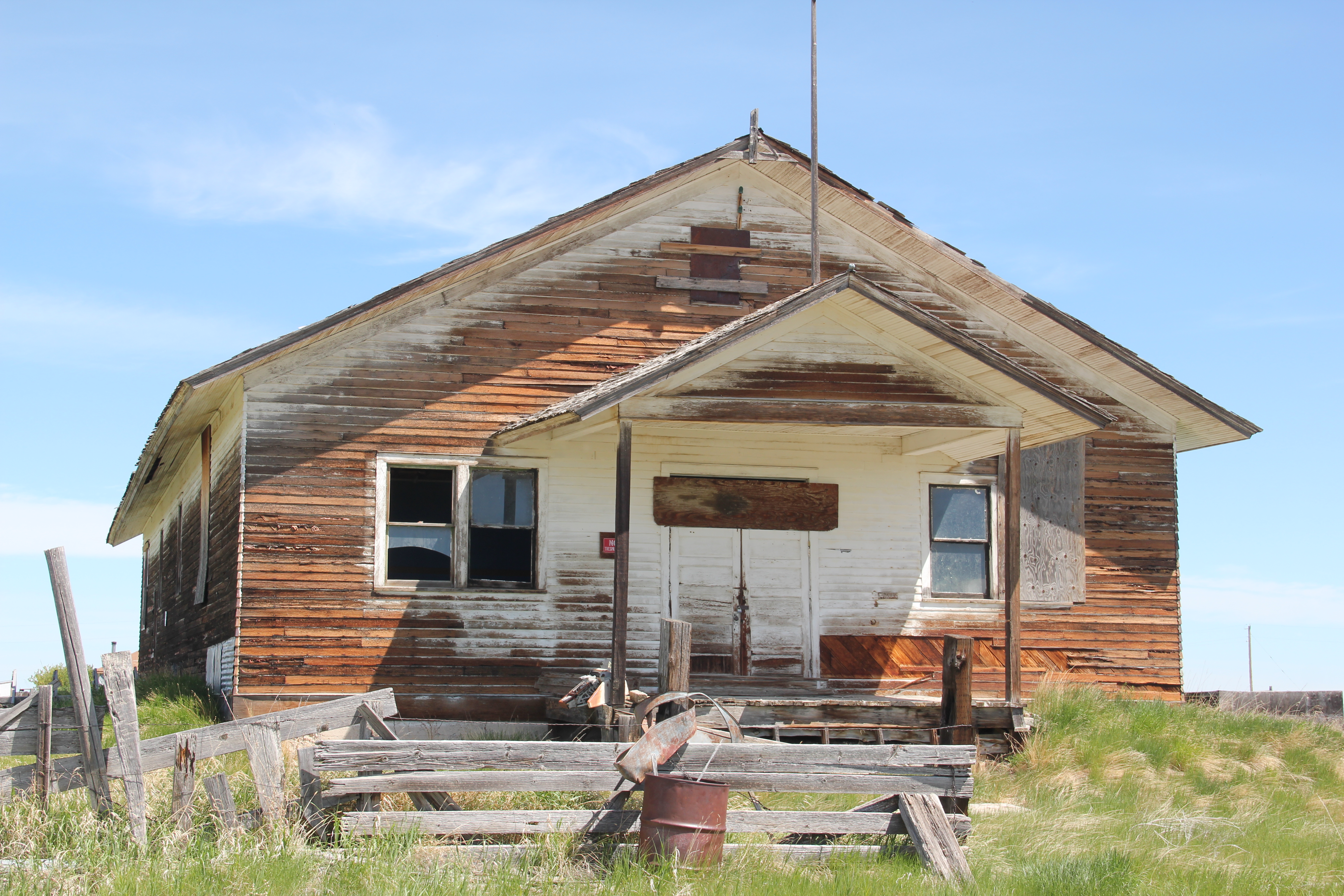
Geraldine school–home of the Tigers. This local school has several different building periods, as this image of its facade indicates, but maintaining a school district is vital to the town–plains country towns that lose their schools soon become abandoned places.

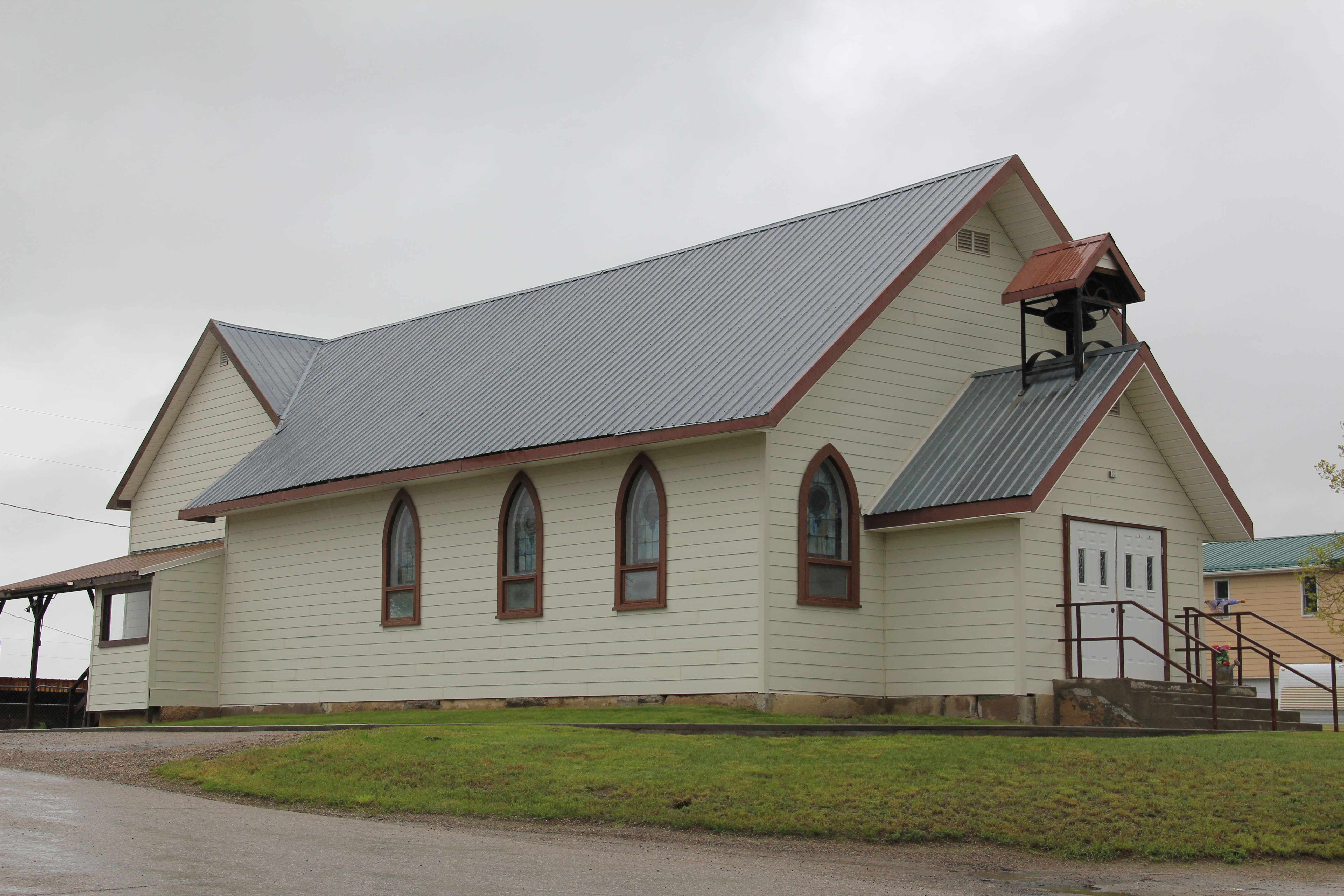
Geraldine touches upon many key theme of eastern Montana history–in subtle yet significant ways. It even lightly touches on another theme of this blog–Montana Modernism. No one was much looking at the contemporary styled buildings of the late 1950s and 1960s in 1984-1985. I was no exception. But in the 21st century, we want to document those buildings and appreciate how the new architecture expressed the hopes of the post World War II generation. Geraldine’s contribution is its United Methodist
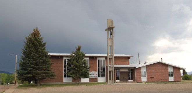
Church, with its particularly notable tall concrete bell tower, mixing a bit of tradition with the new look of the postwar generation.
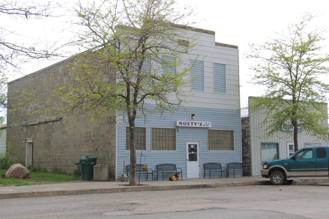
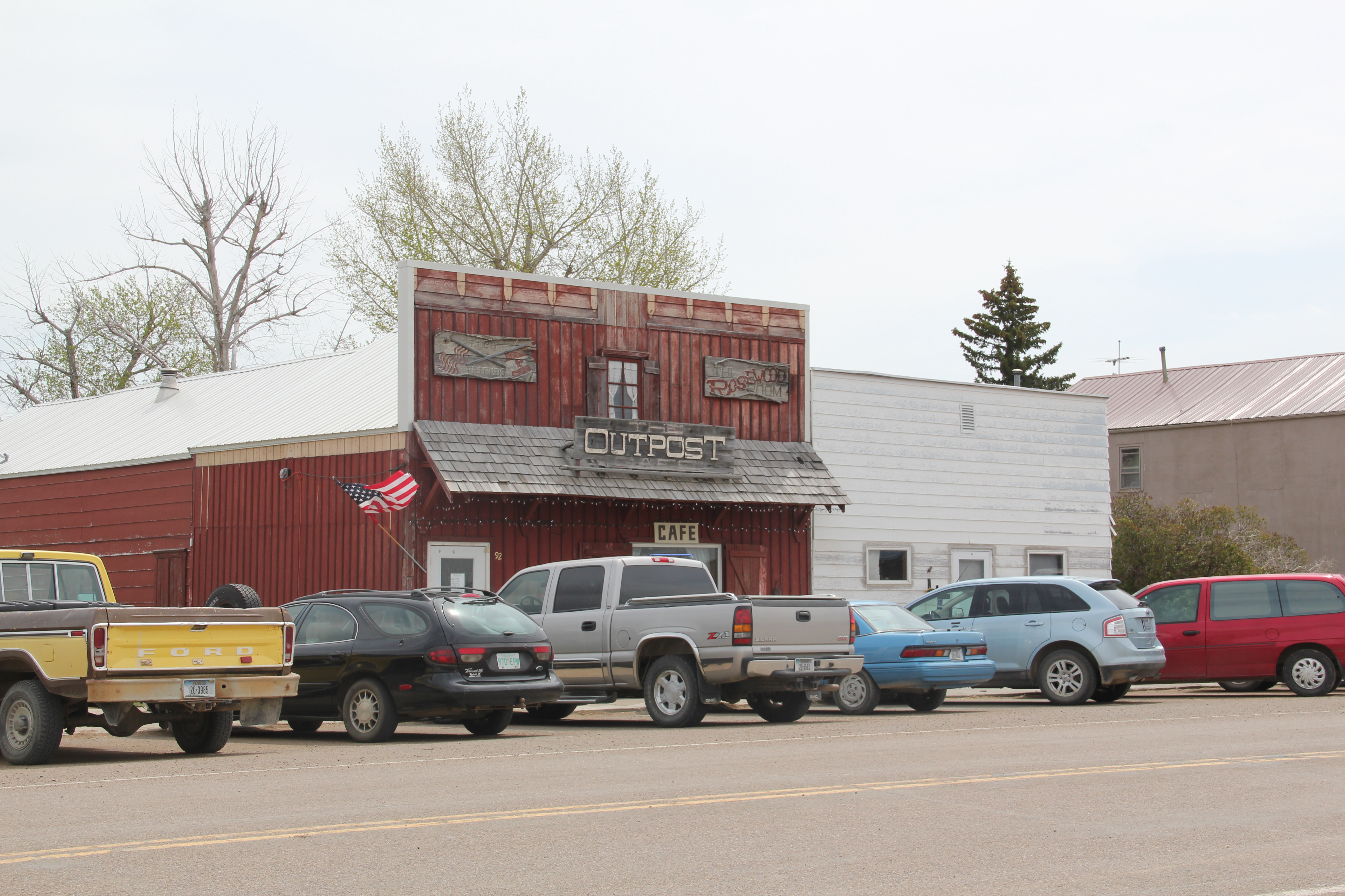
Geraldine of course has a classic western watering hole–Rusty’s Bar and Grill, completed with its front glass block windows. It is highly recommended–not much on the outside admittedly but a full community experience on the inside. Historic depot and bank, modern-styled church, unique town plan, and great bar: more than enough reasons to come to Geraldine, not once but whenever travels take you between Great Falls and the Musselshell River Valley.


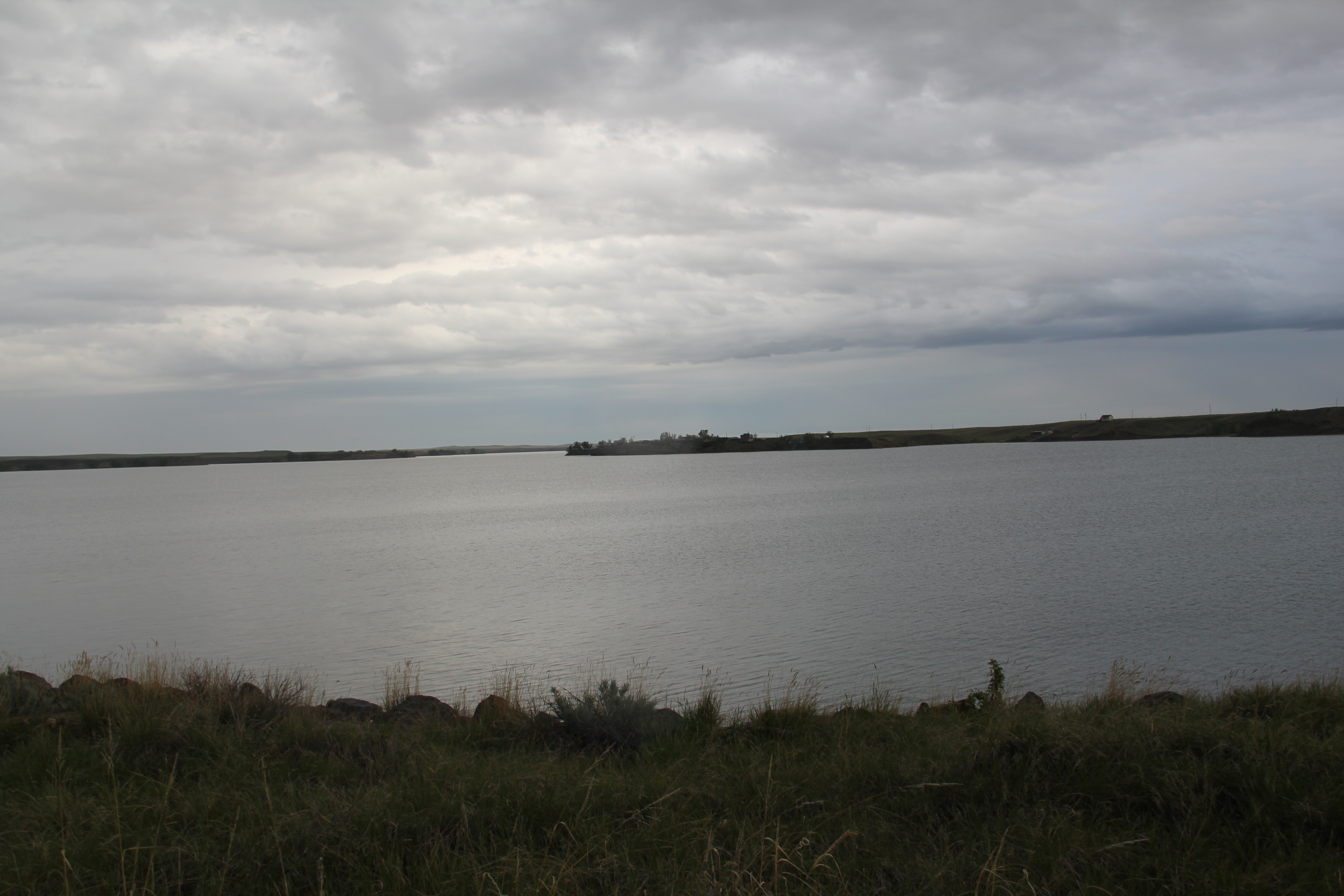
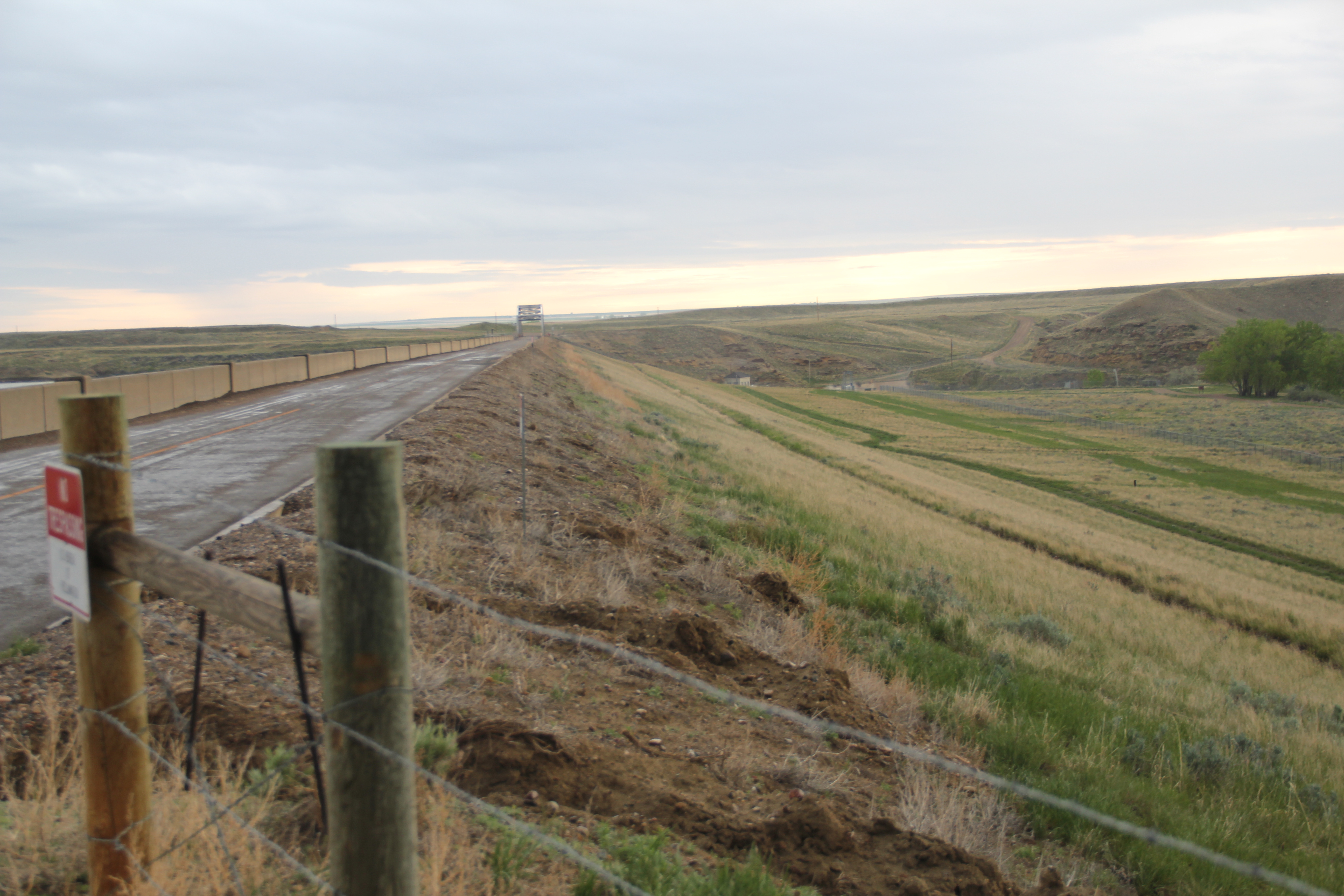
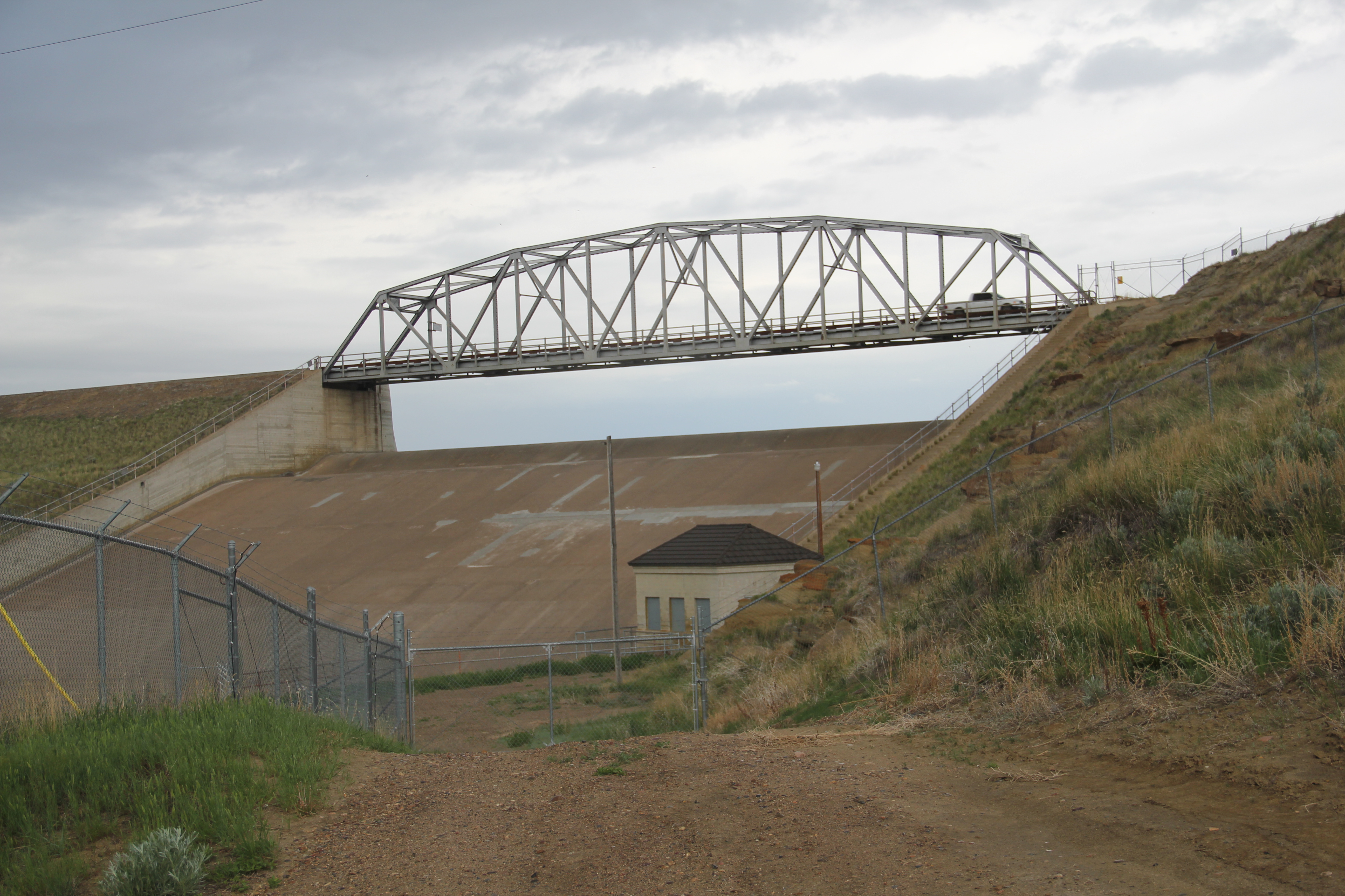
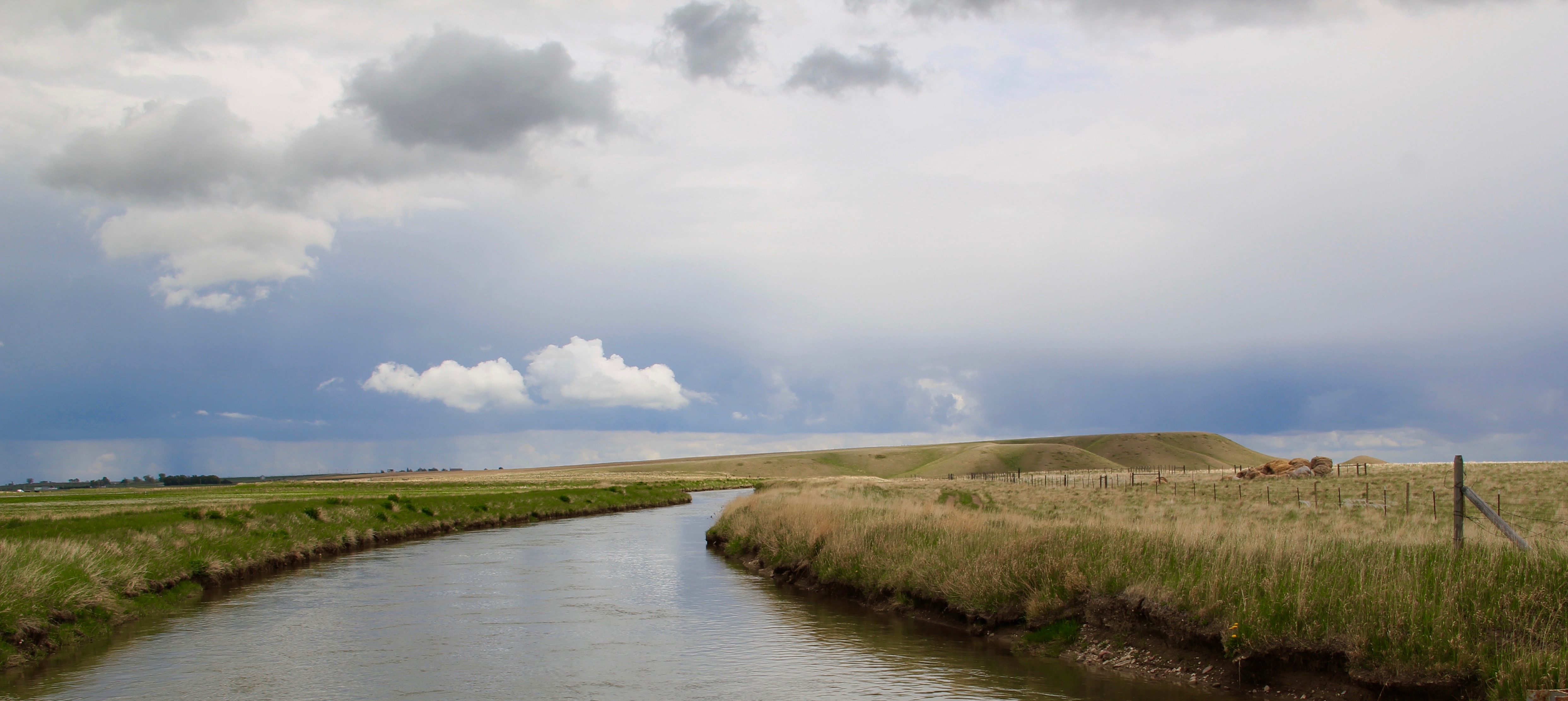 We just finished an exploration of U.S. Highway south from Great Falls to Livingston, the gateway to Yellowstone National Park. Now let’s head in the opposite direction, north of Great Falls to Glacier National Park. In the first half of this trek, one great man-made landscape dominates either side of the road–the Sun River Irrigation Project, established by the U.S. Bureau of Reclamation in 1906 but not completed until the late 1920s.

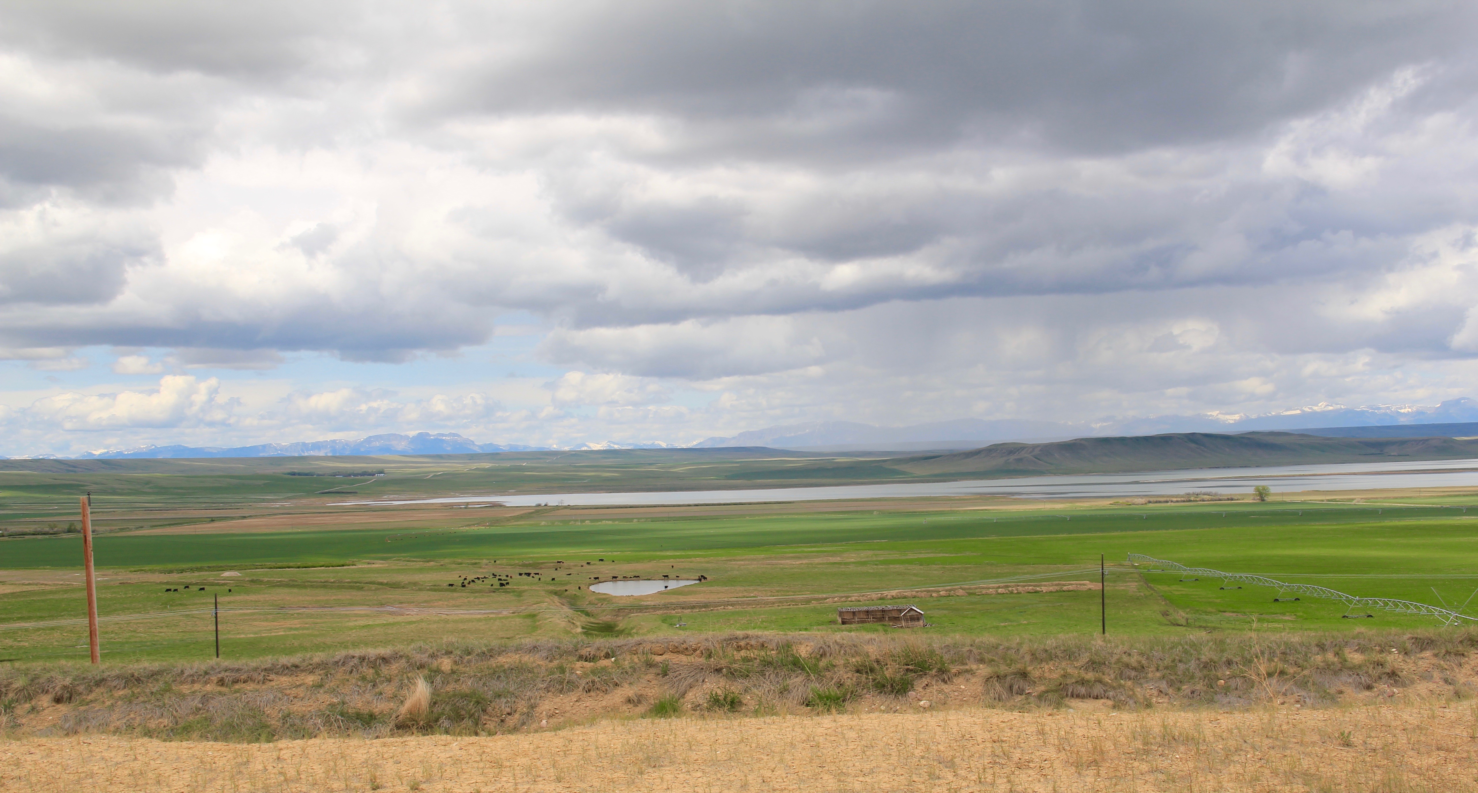
 Feeding in and out of Fairfield are multiple canals and ditches, with the great bulk of land devoted to the production of malting barley, under

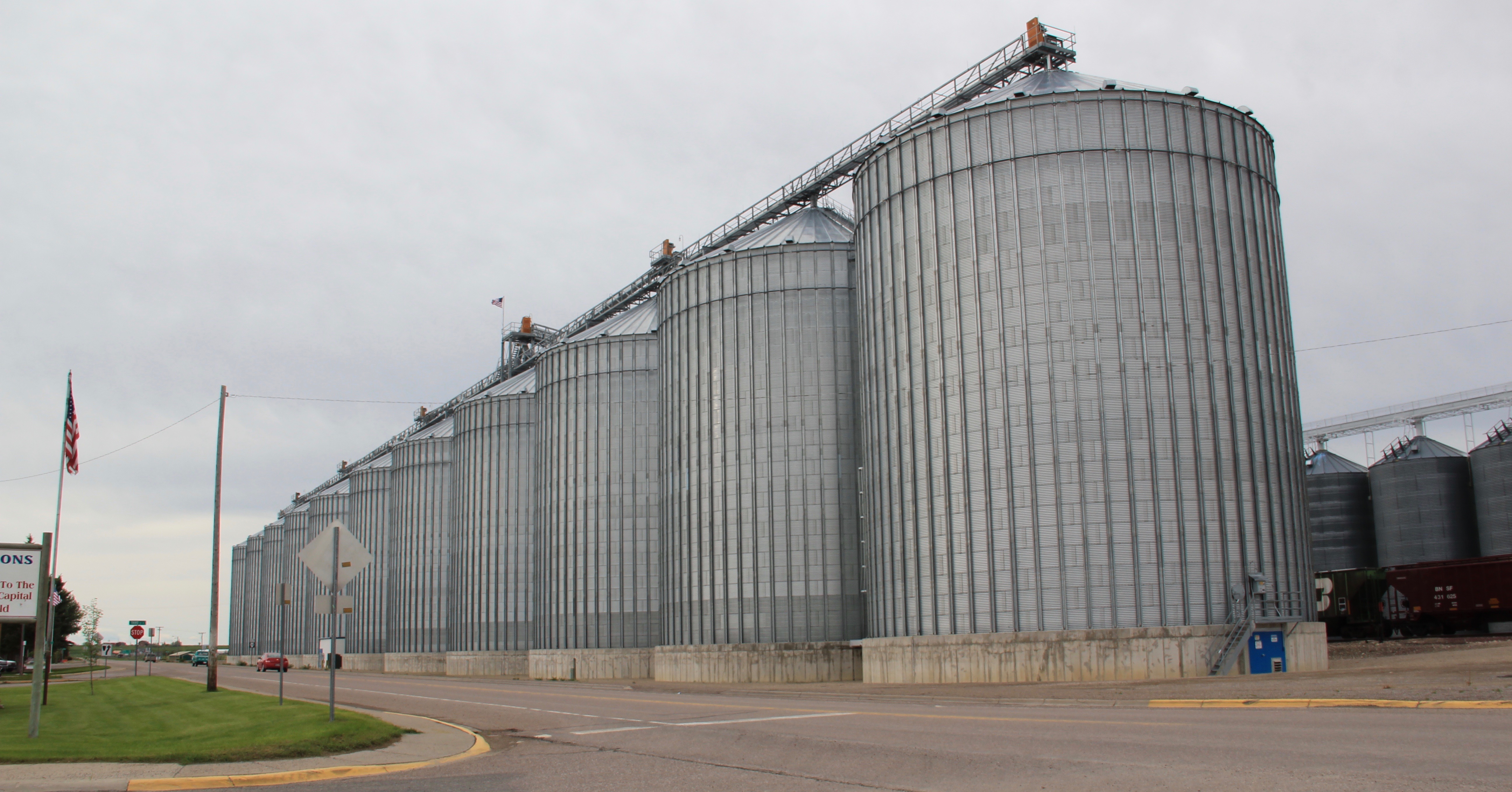 Fairfield itself is a classic T-plan railroad town. The barley granaries dominate the trackside, where also is located the headquarters for the Greenfields Irrigation District, so designated in 1926.
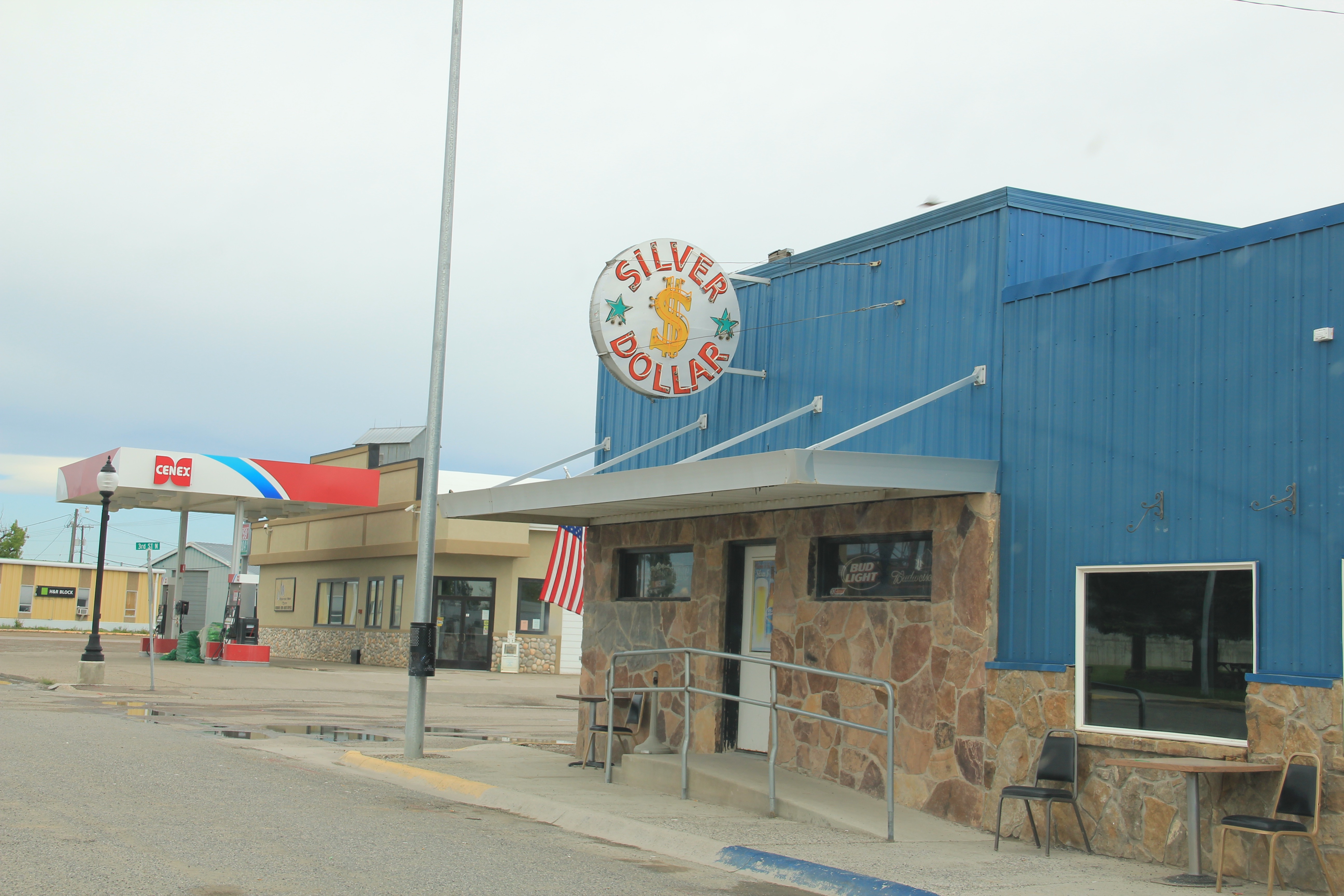
 Along the stem of the “T” plan are all of the primary commercial buildings of the town, from an unassuming log visitor center to various one-story commercial buildings, and, naturally, a classic bar, the Silver Dollar.


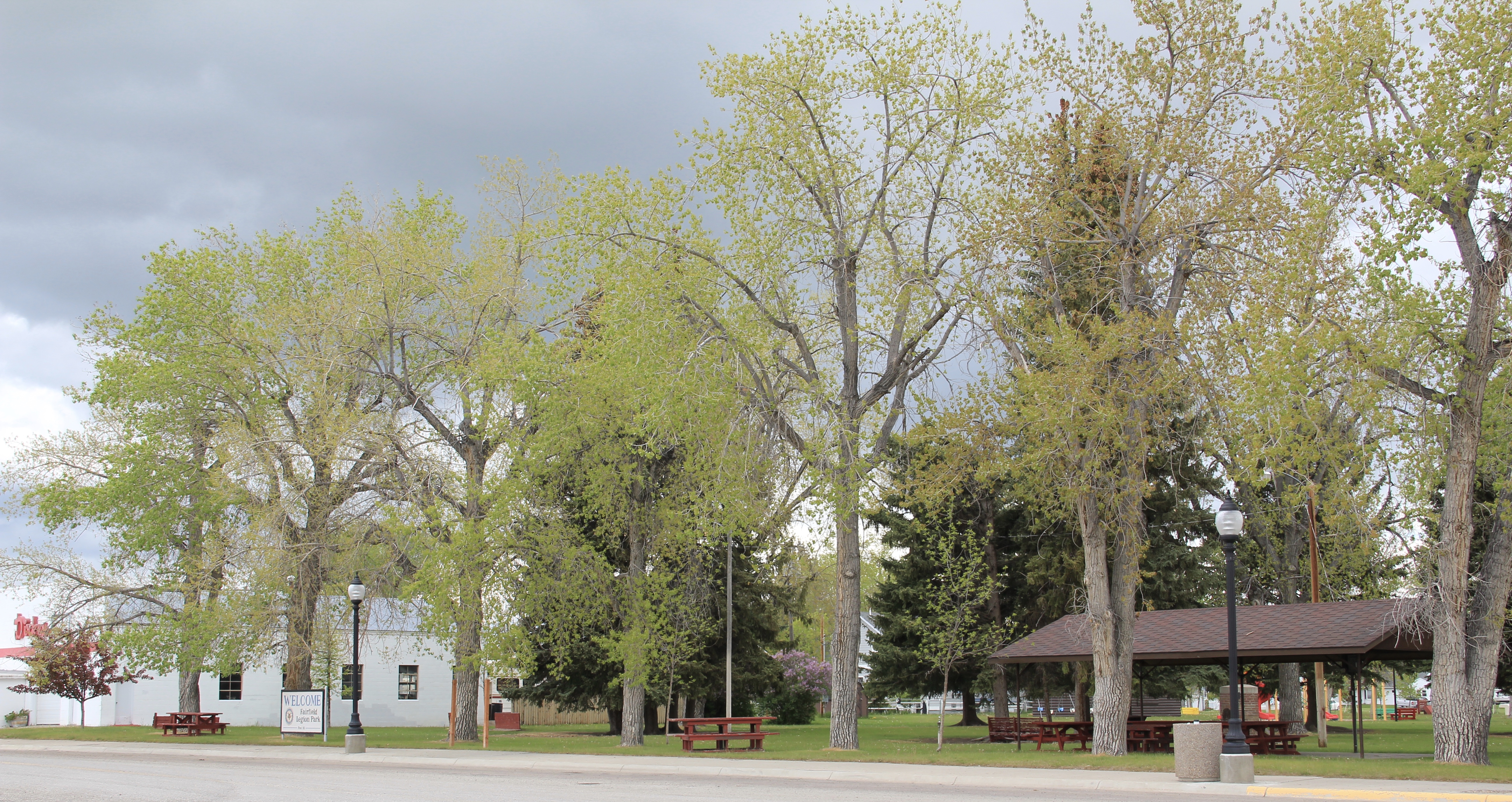
 Public spaces and institutions are located at the bottom of the “T,” including a community park and swimming pool, a c. 1960 community hall, and an Art-Deco styled Fairfield High School. The park, pool, and high school were all part of the second period of federal improvement at Fairfield during the New Deal era.