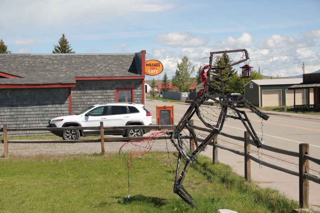
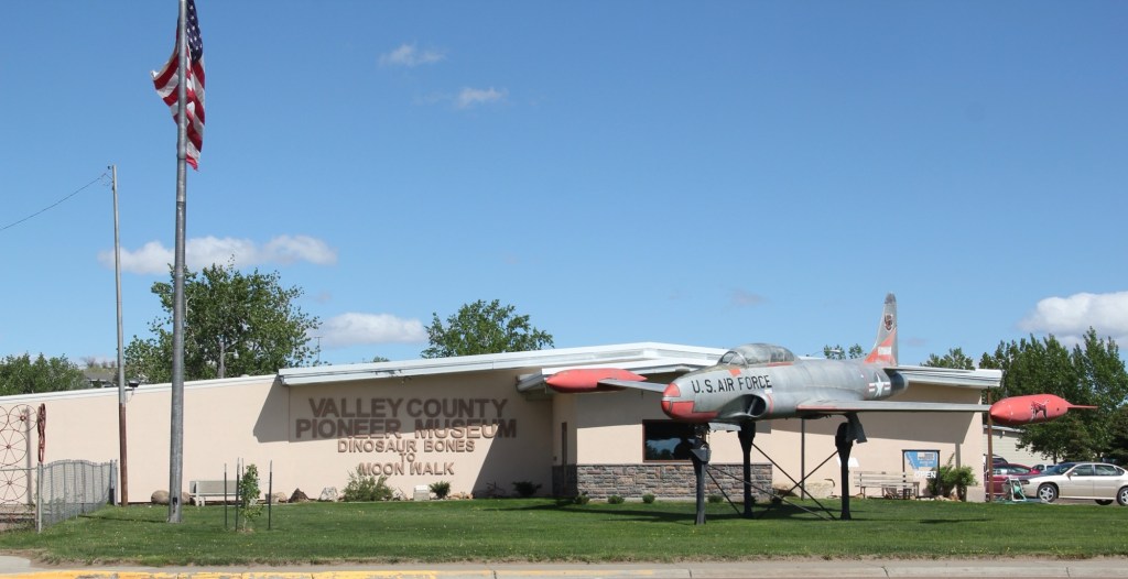
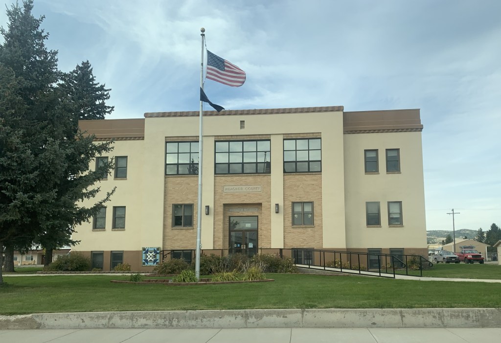
Montana newspapers this week featured a story about economic resurgence in Great Falls, where the population has remained basically level in the 21st century while other Montana cities have grown by leaps and bounds. Readers of this blog recognize that I am a big booster of what heritage and historic preservation has meant to the city, and certainly that pride in history and culture you find anytime you visit Great Falls as I found during a fall 2025 visit.
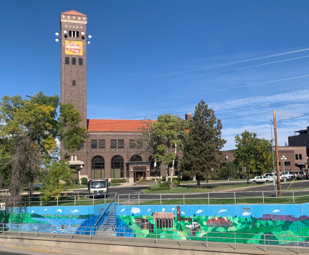
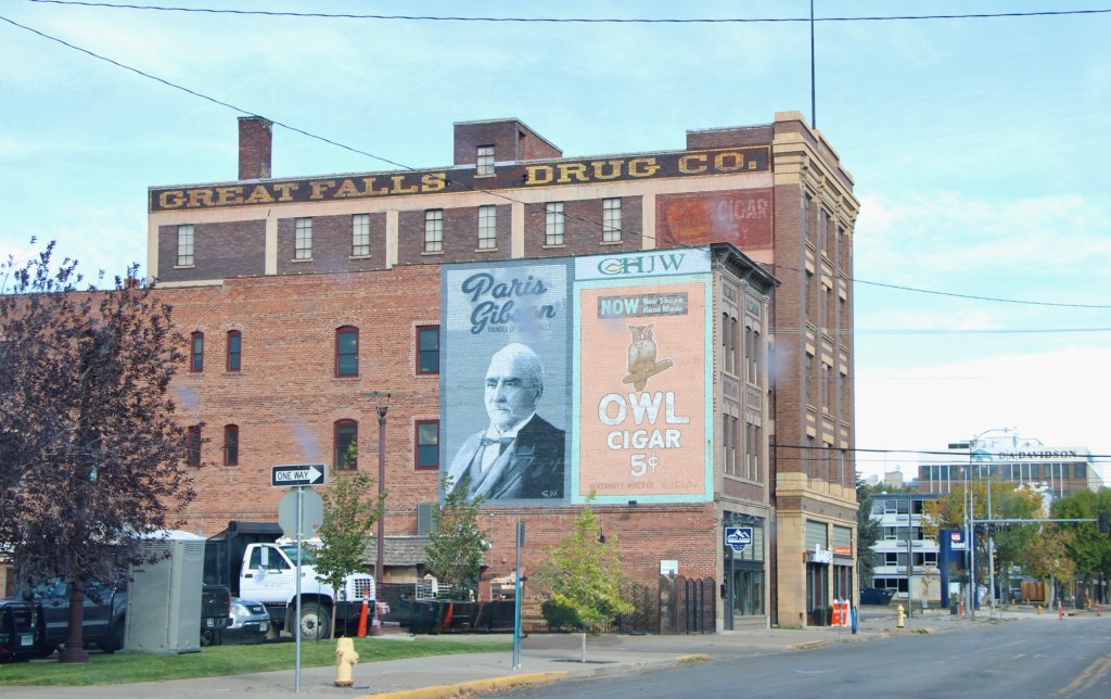
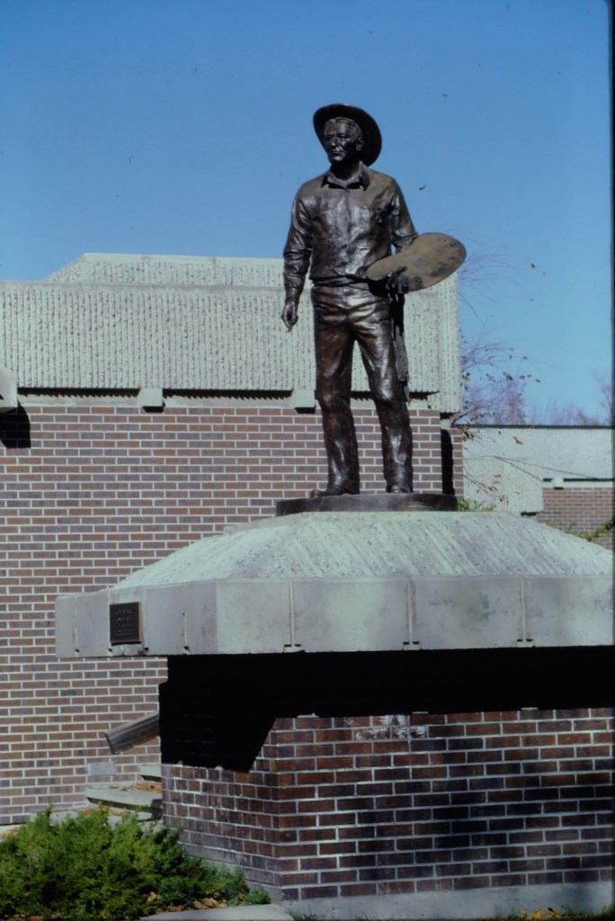
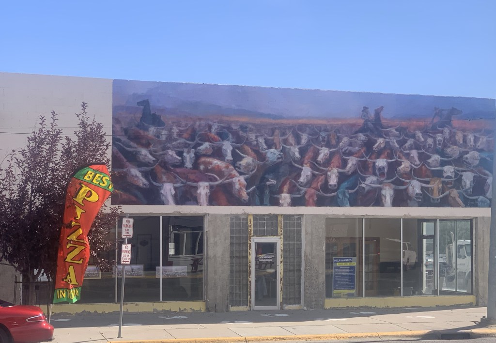
The proliferation of colorful, descriptive murals enliven downtown commercial buildings, including the highway underpass at the restored Milwaukee Road passenger station. the topic has been historic—witness the penetrating graze of town founder, Paris Gibson, below.
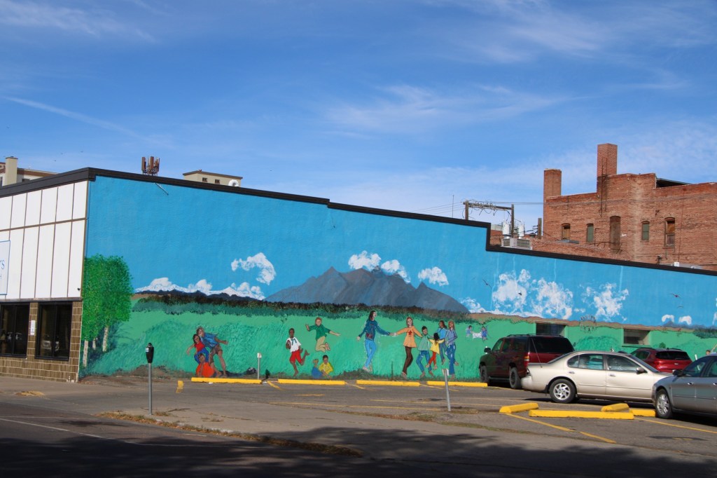
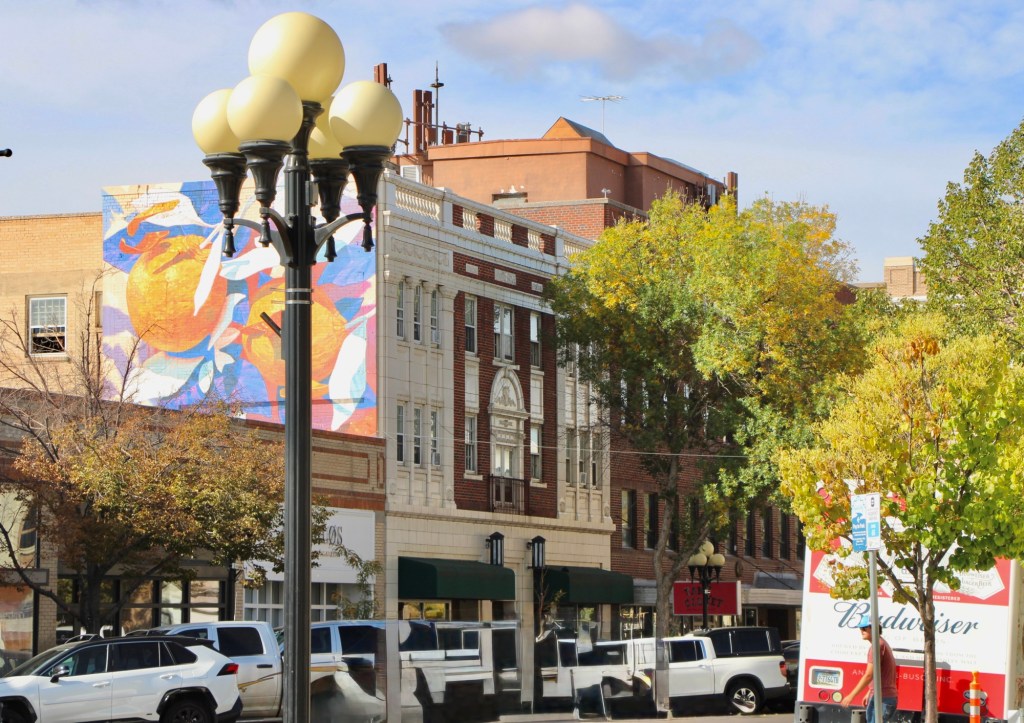
Or if it is a more abstract design in the city’s commercial heart ( the reproduction city street lights add charm too).
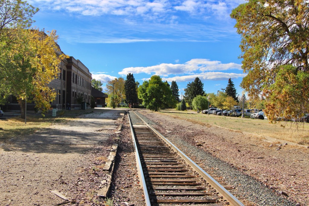
Downtown recreation is another positive change, as the river trail between the tracks of the Great Northern Railway and the Missouri River continues to expand and improve.
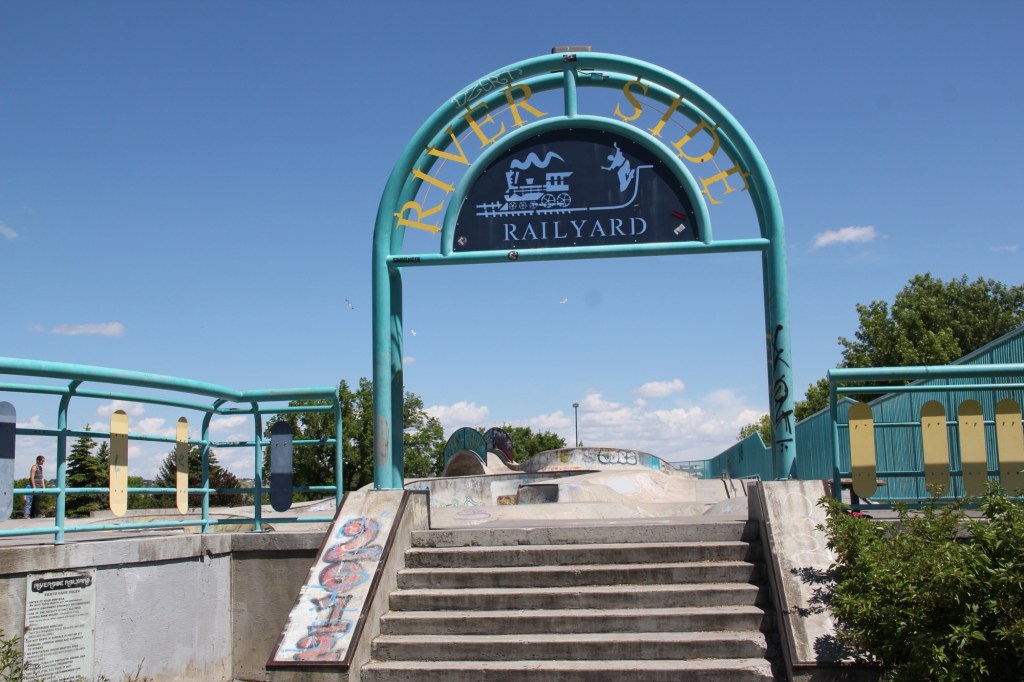
One of the state’s best skateparks also adds significantly to recreation, and community building in Great Falls.
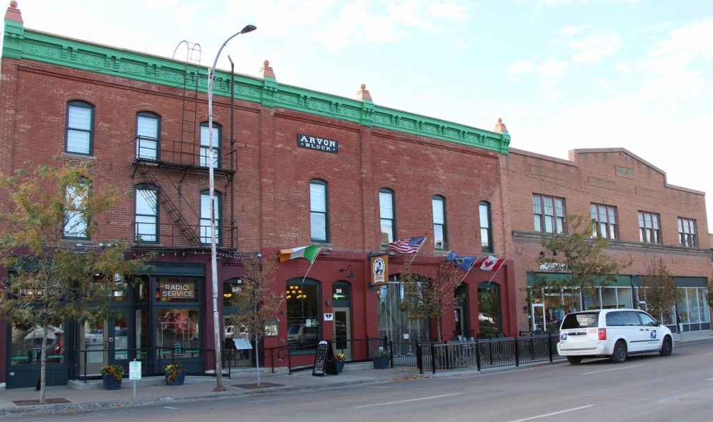
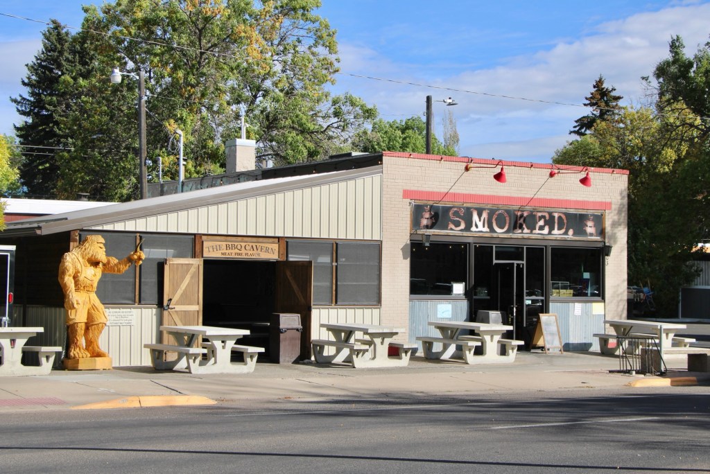
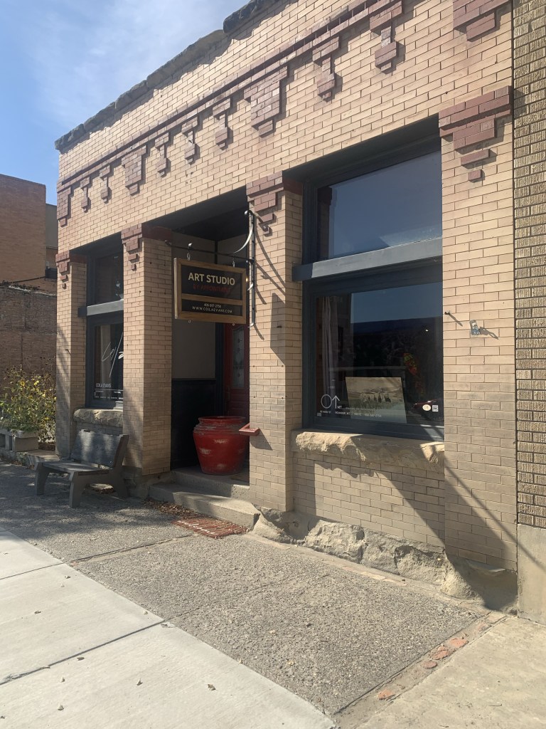
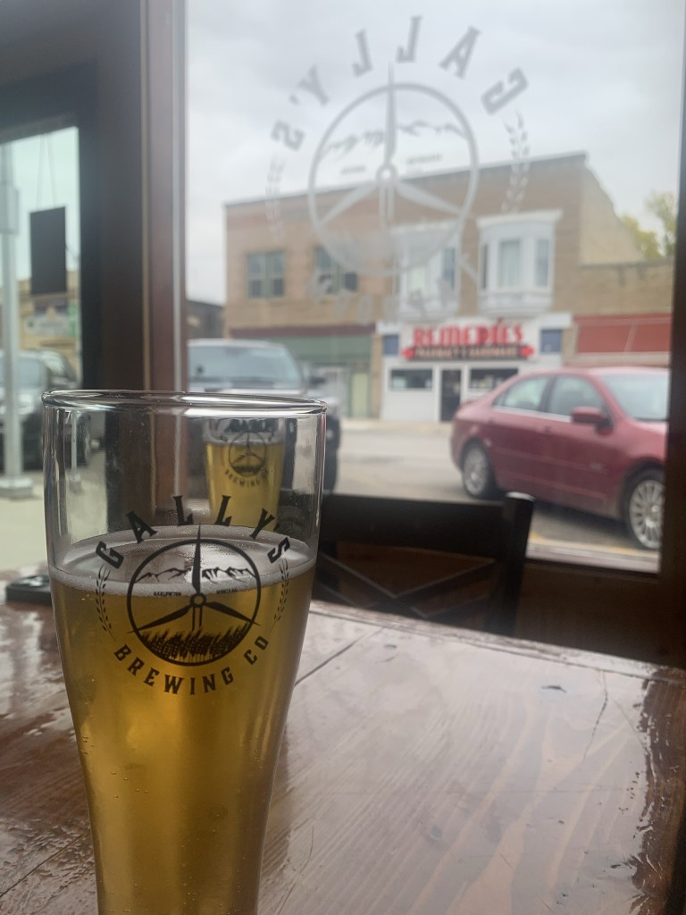
And speaking to community building the restoration and adaptive reuse of downtown buildings create nighttime gathering spots, giving residents plenty of reason to come downtown. The Celtic Cowboy, located in a circa 1890 livery building, has become a popular pub while the owe era of Smoked took a 1930s building and made it a must-stop place for Barbeque.
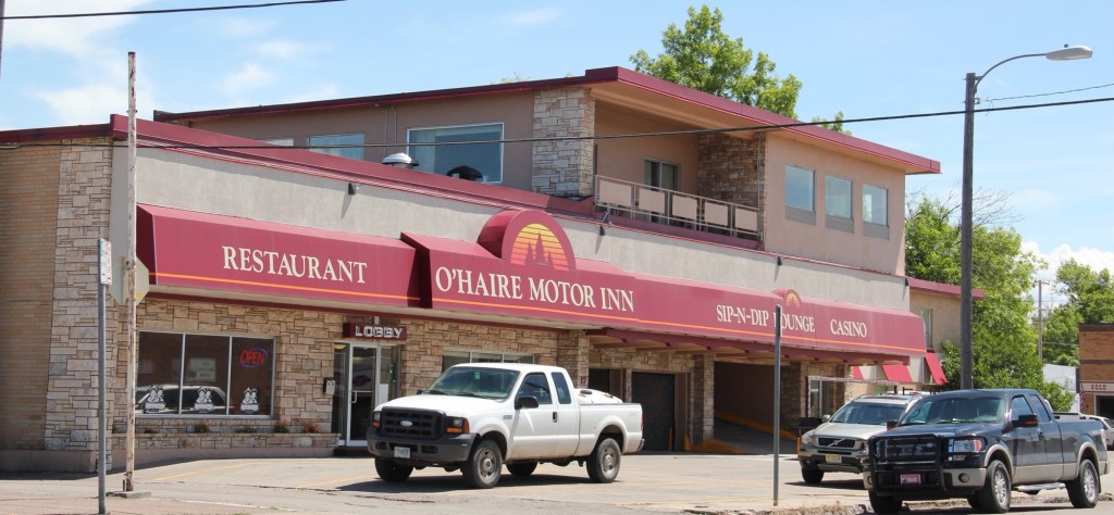
Even the iconic Sip-N-Dip lounge has announced a renovation and improvements to this mid-20th century landmark.
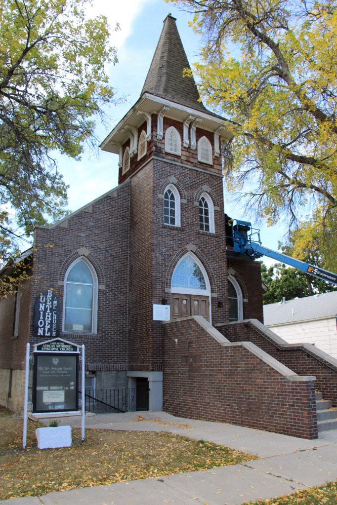
My stop in Great Falls last October centered around a check of the renovation of the National Register-listed Union Bethel AME Church. Like many others I supported its grant application and I was pleased to see work underway to ensure another 100 years for this landmark.
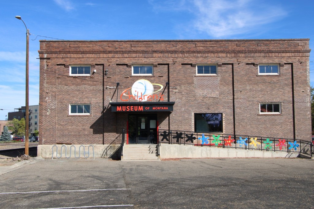
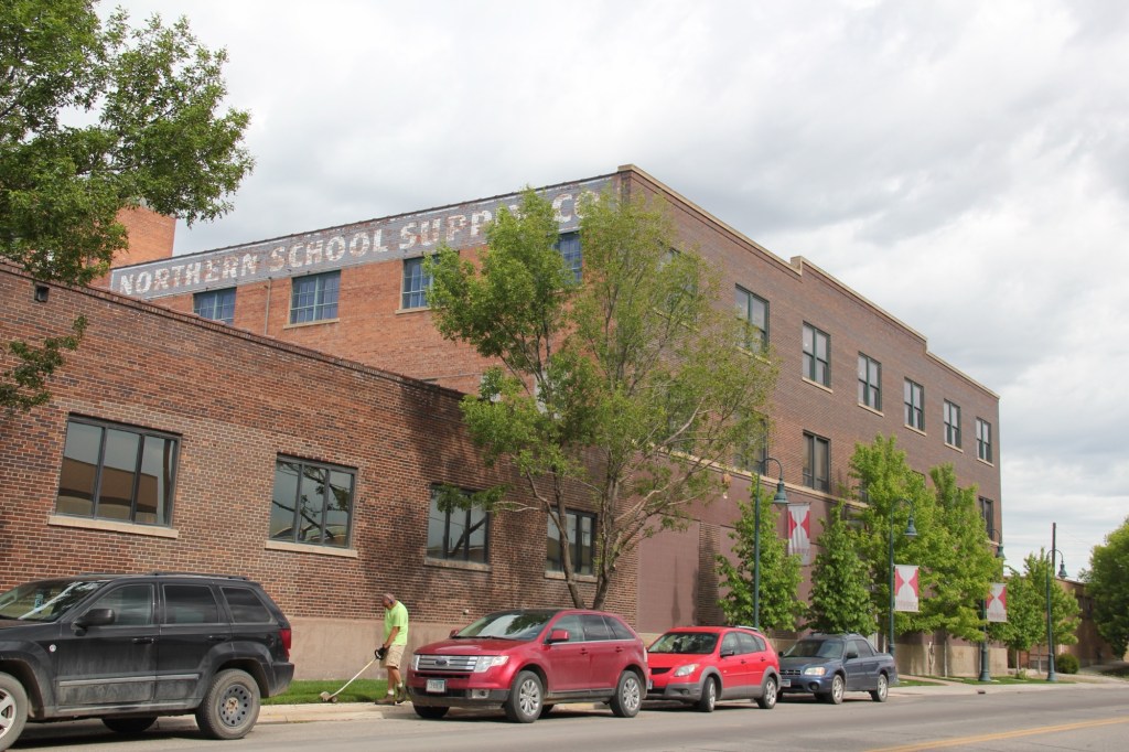
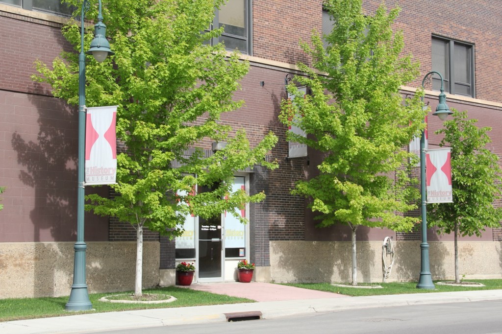
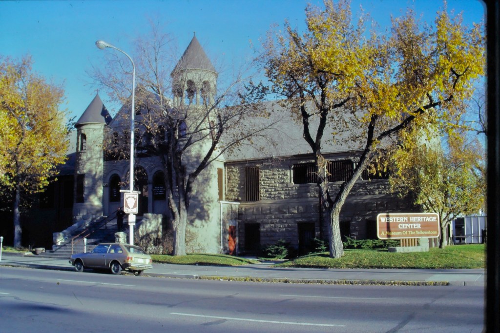
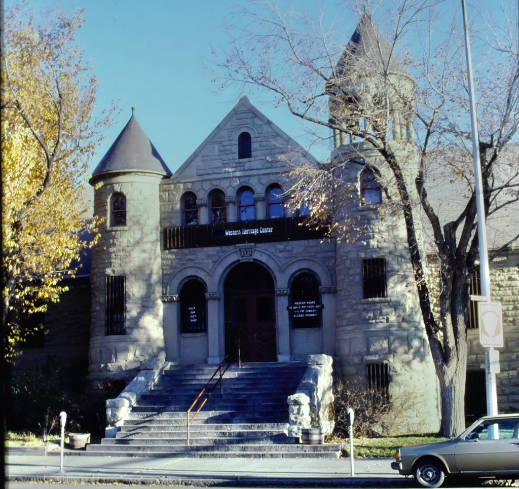
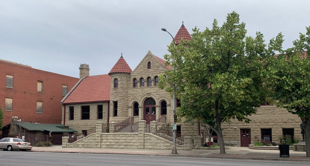
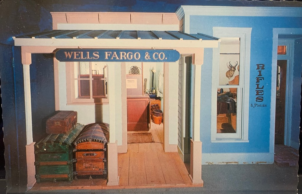
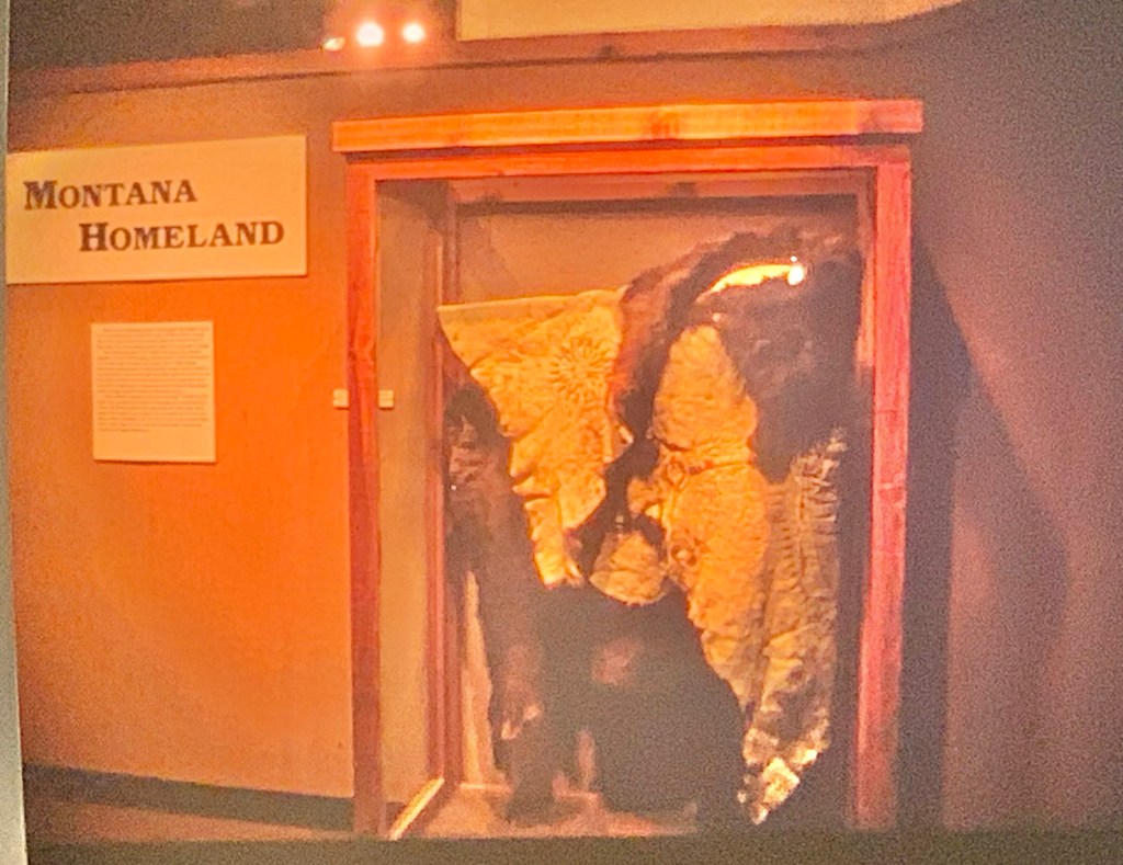
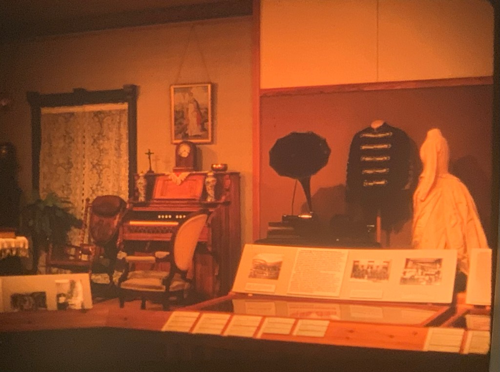
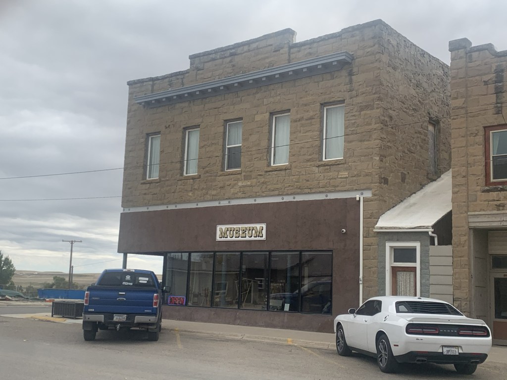
No doubt the protection of the city’s historic buildings and finding new community uses for them continues as an anchor for Great Falls, be it the Children’s Museum or the impressive History Museum and Archives. Both are located along the city’s historic railroad corridor.
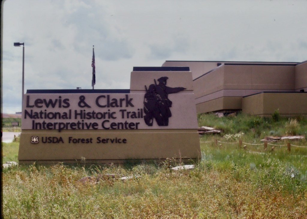
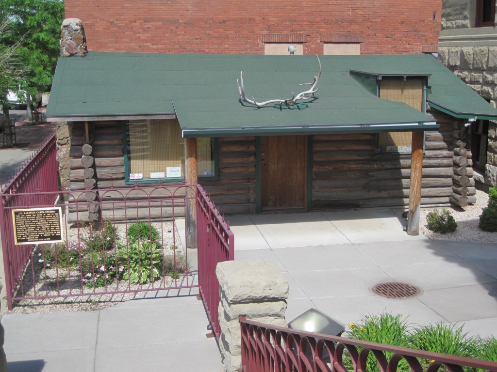
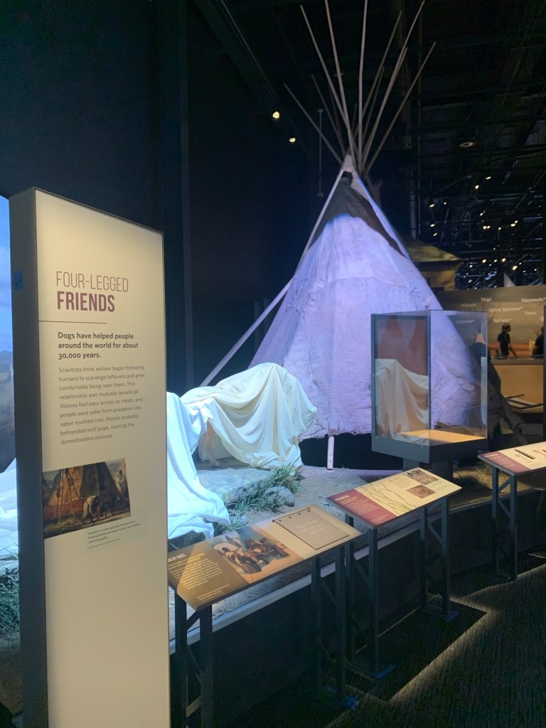
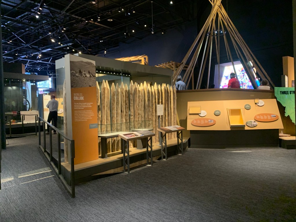
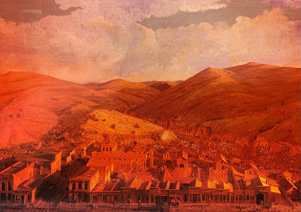
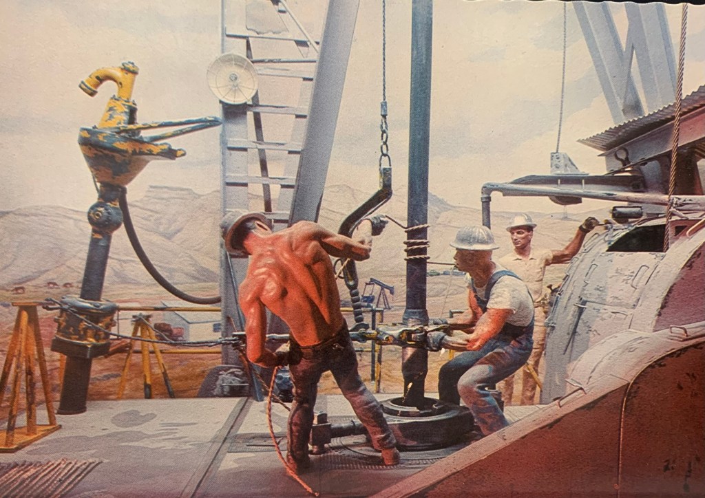
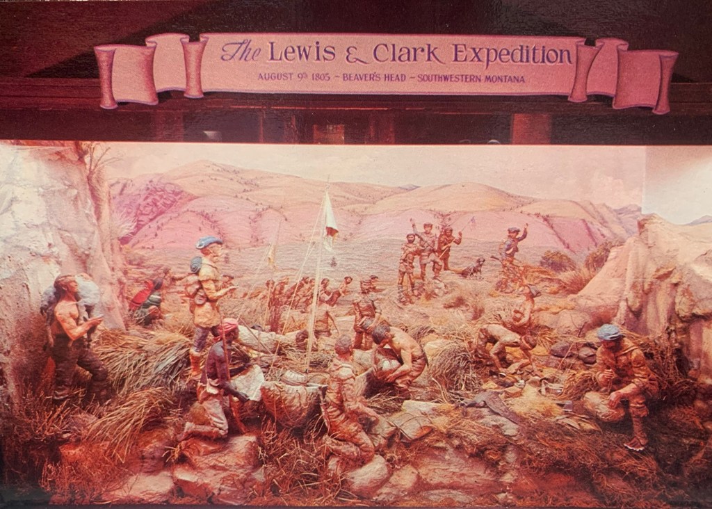
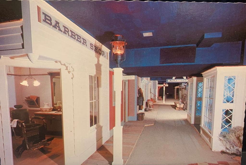
Preserving and telling local stories but Great Falls is further enhanced by two major national institutions—the Lewis and Clark National Historic Trail interpretive center and the Charles M. Russell Museum.
The Russell continues to expand, and amaze, as it evolves from a regional to truly national cultural center. The city too is trending in that direction, which means that next visit will certainly be sooner than later.


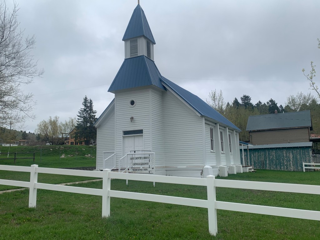


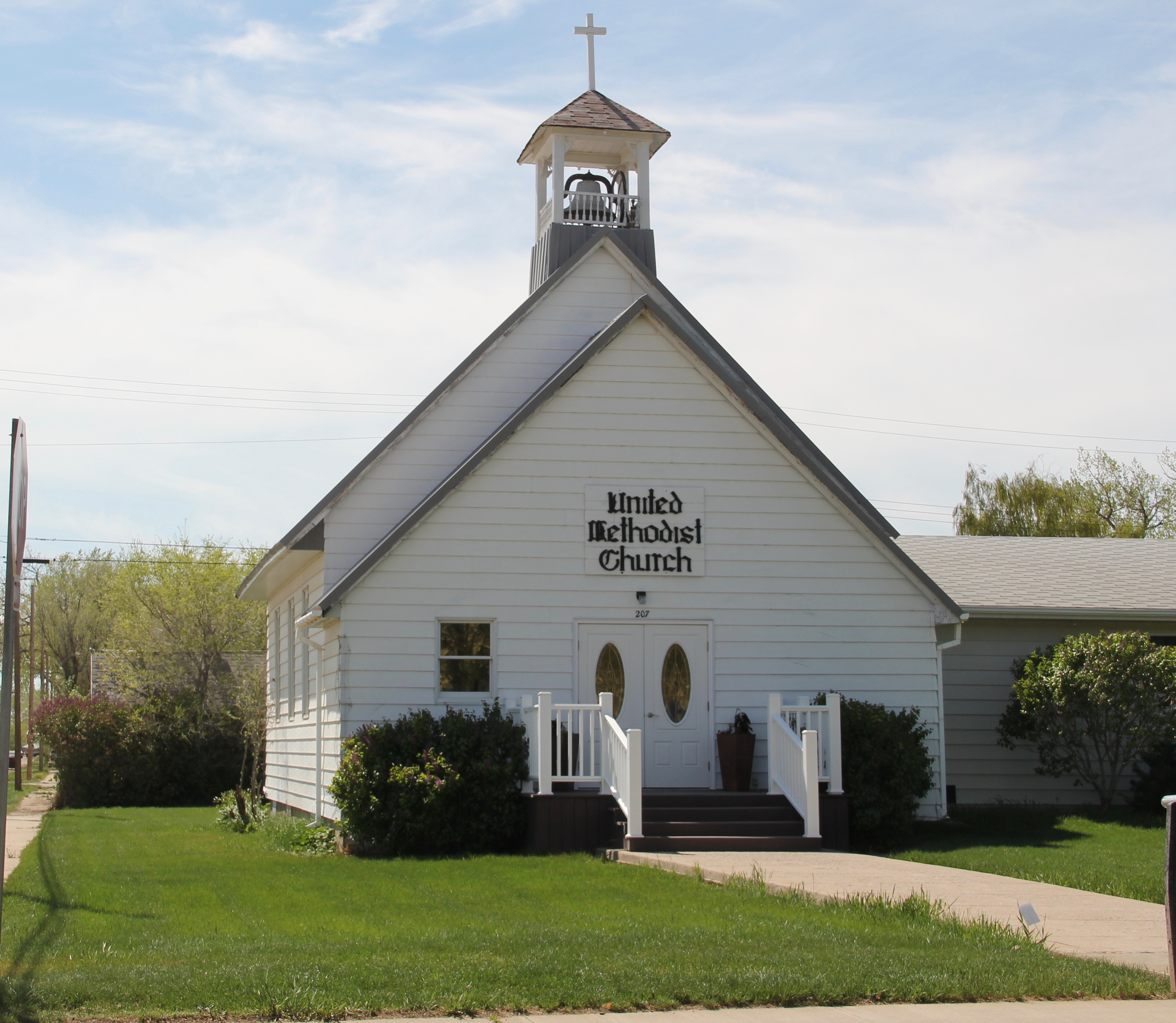
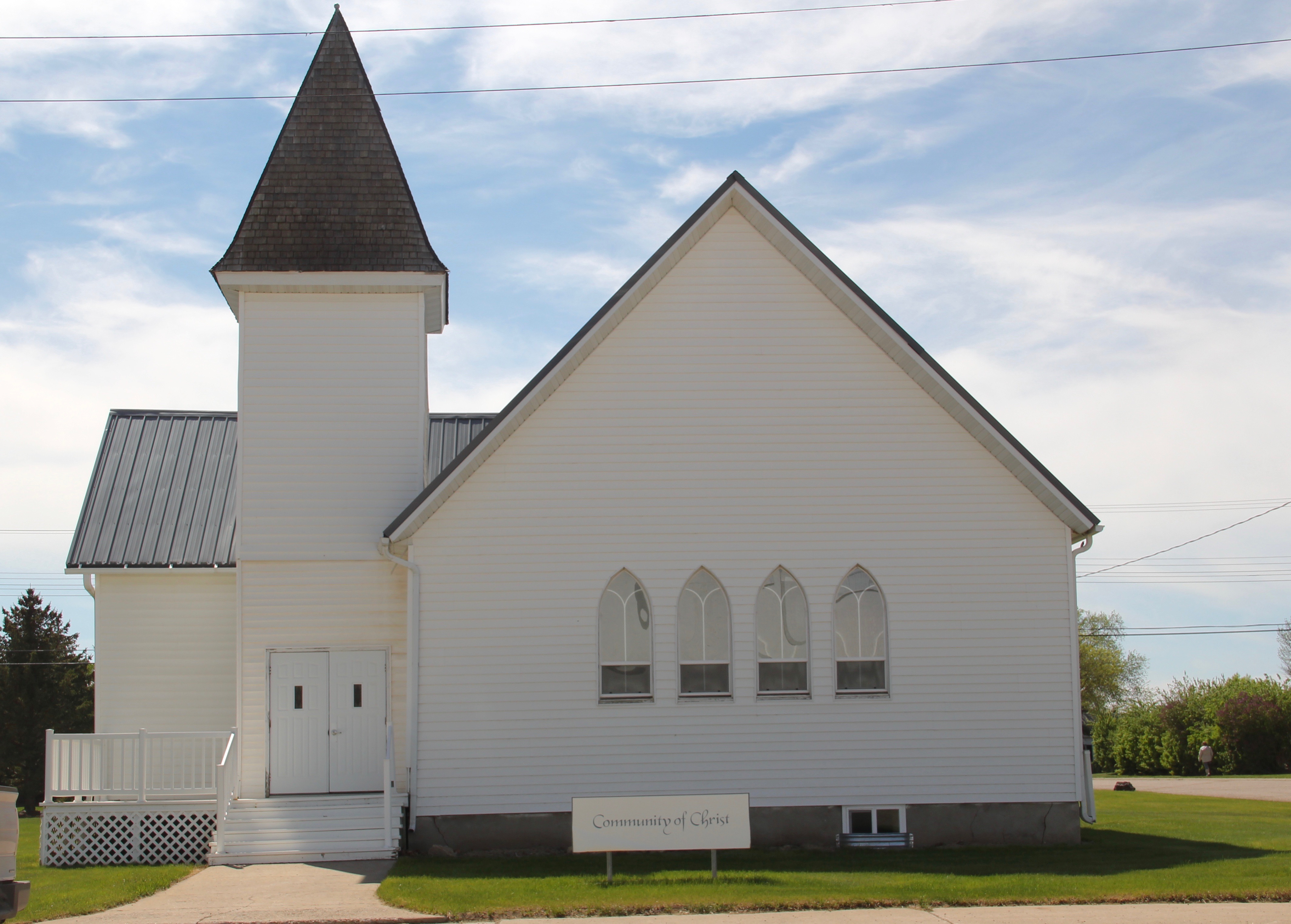
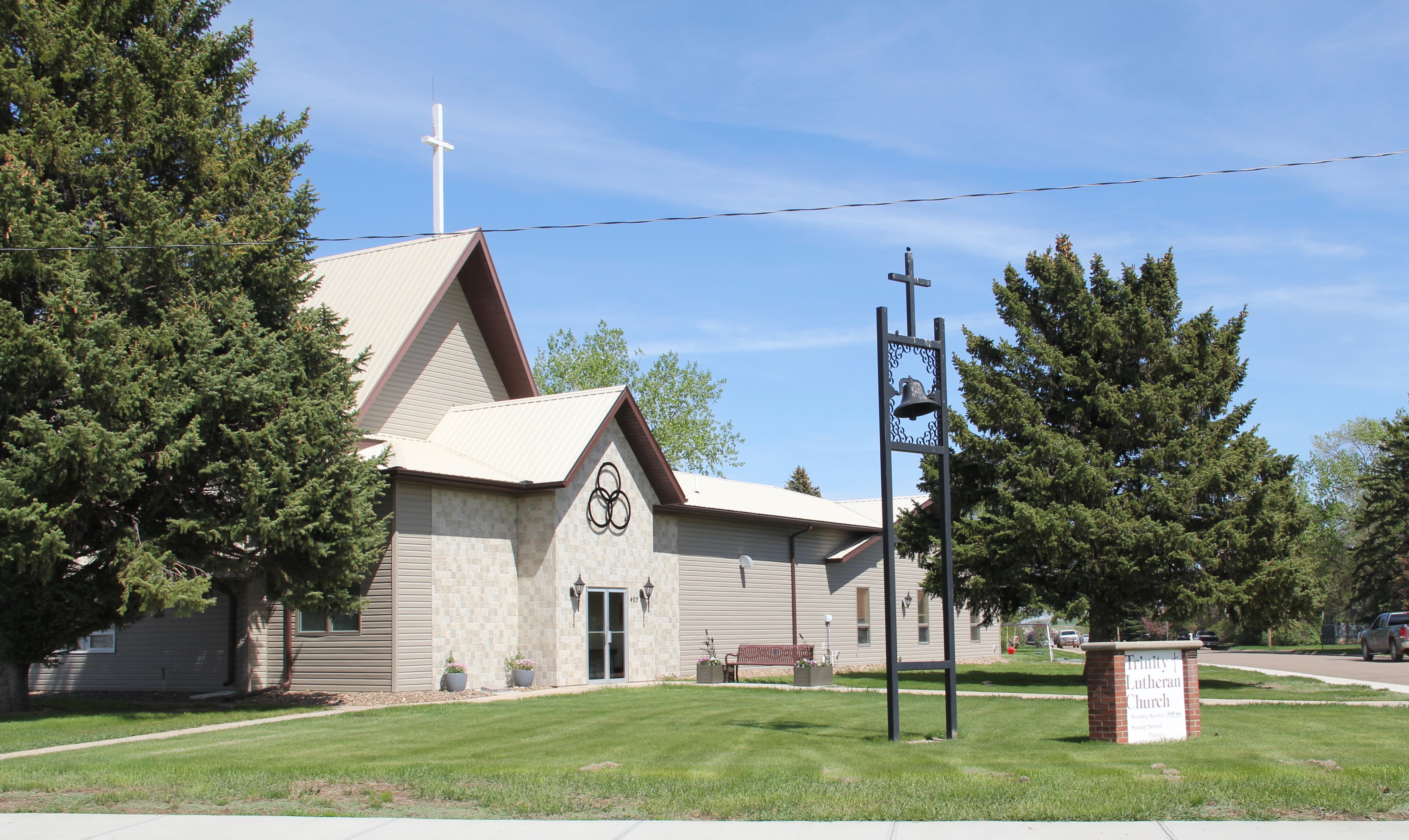
 modern style for many Catholic churches in eastern Montana. The Culbertson church is a good example of that pattern. Another church that belongs to the modern design era of the 20th century is Trinity Lutheran Church, especially as this distinguished building expanded over the decades to meet its congregation’s needs.