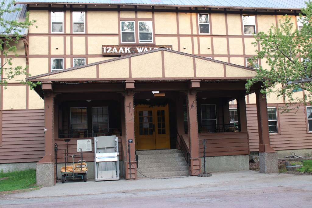
The news came like a thunderbolt in the December 16, 2022 edition of the Montana Free press: the Izaak Walton Inn had been sold to LOGE Camps.

I must admit that the place is special to me because it was one of the first National Register of Historic Places nominations that I had ever worked on. As I have discussed earlier in this blog, my task was to document its extraordinary significance because at that time of nomination (1984) the building was not yet 50 years old.
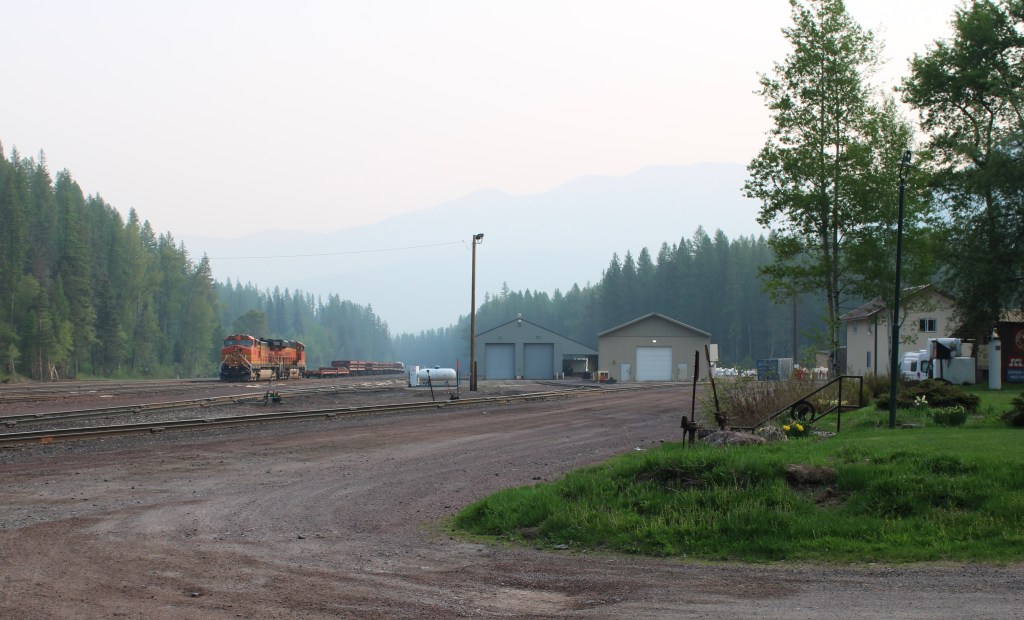
Making the case was not that difficult because when it was built in 1939, it basically WAS the village of Essex: lodging for railroad workers, food, bar, post office, etc., but I have covered these points earlier in the blog. I stopped in May 2023 to document the place one last time, before n auction of interior stuff and collections and before renovations began.
In that December 16, 2022 Montana Free Press story, LOGE Camps official Slate “Olson said LOGE was well aware of the inn’s history and is not planning drastic changes to the property. However, the company does plan to make upgrades. Olson said it’ was’s too early to know exactly what those improvements will be, but that new furniture and room amenities are likely on deck in the coming year. We have a ton of respect for the history of the Izaak Walton Inn,” he said. “We want to create a destination where you feel the history, but you also appreciate the updated touches and amenities.””

Let’s hope so. A good part of the historic integrity of the property lies with its rough edges. The old boarding houses was upgraded to a degree in the mid-1980s, certainly. But you also had the right spaces, the post office boxes, and the laid back vibe of common areas. And wi-fi: well good luck once you left the link in the lobby.


Believe me, I get it. Historic places are always changing. But here at Essex you have to accept that the building was a key part of a working landscape of the railroad. That its history will forever be tied to the tracks and the people who worked here. Take away that gritty reality, and you lose so much.


Here’s to the first 38 years of the Izaak Walton Inn as a National Register landmark adjacent to Glacier National Park. Let’s hope the next generations recognize and nurture the qualities that make it special.


 My friends in the environs of Helena have been surprised that after 300 something posts I had yet to say anything about Augusta, a crossroads town in northern Lewis and Clark County along U.S. Highway 287, during my revisit of the 1984-1985 state historic preservation plan. They knew that I loved the open range drive to Augusta, whether approaching from U.S. 287 or U.S. Highway 89.
 Then, the various businesses and bars along Main Street represented not just a favorite place in rural Lewis and Clark County, but also document a classic western town with great roadside architecture such as the Wagon Wheel Motel.


 Augusta began as a crossroads town for neighboring ranches; the later extension of a railroad spur to nearby Gilman spurred competition between the two towns. But Augusta
  won that battle–today not much outside of the Montana Highway Historical marker, a steel bridge, and a disappearing railroad corridor remains of Gilman.

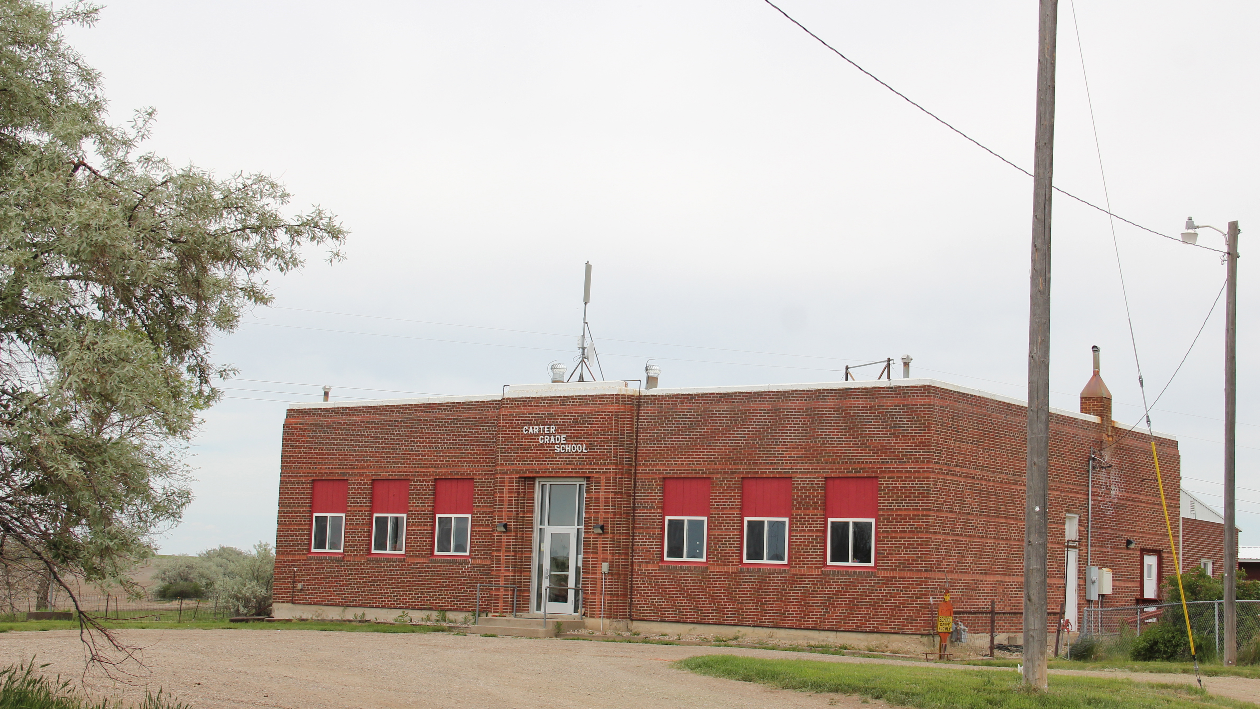
 But I like the football field almost as much as the historic school–could a more neighborhood setting even be imagined?
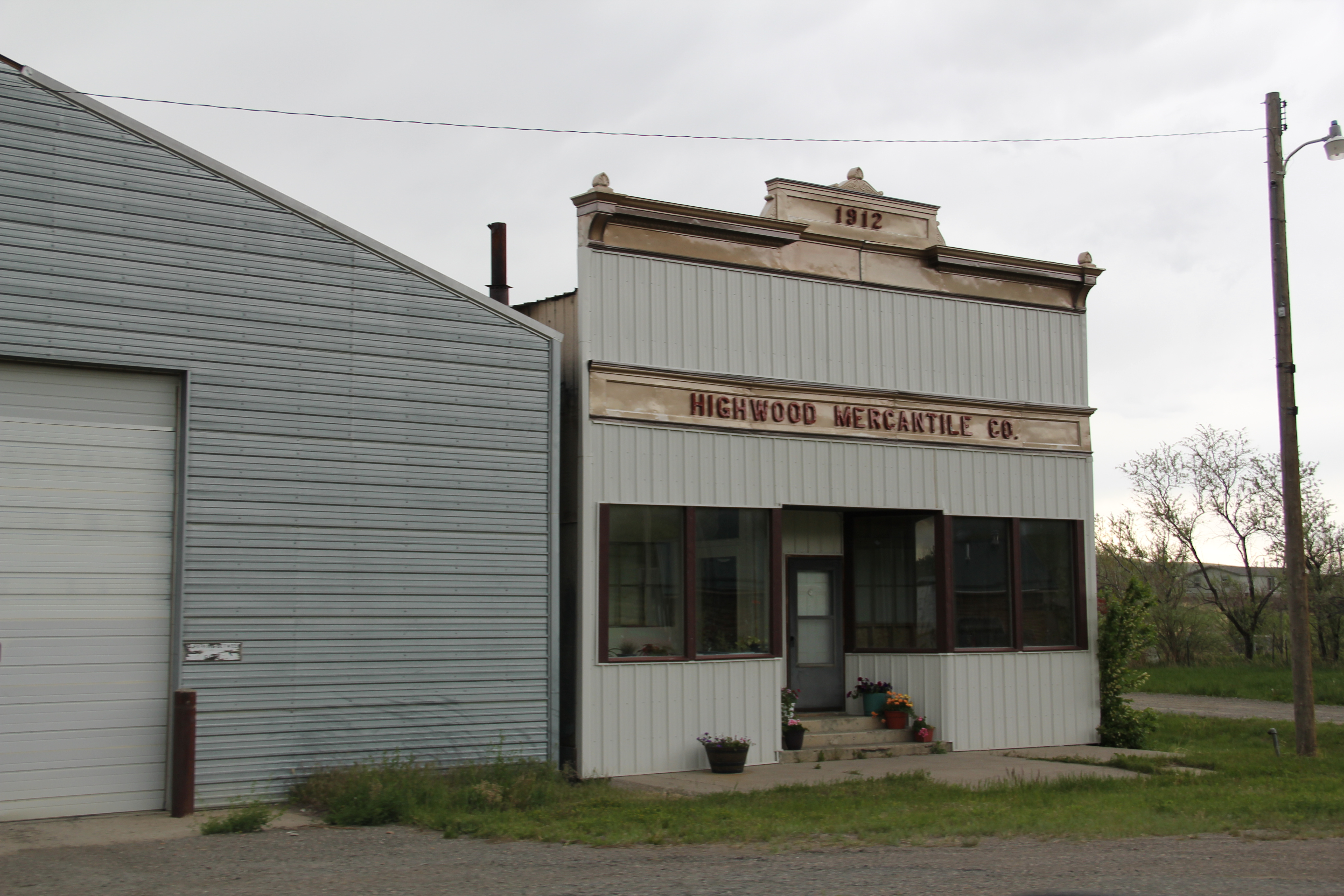
 Then there are historic commercial buildings from the early 20th century–several with National Register qualities, especially the F. M. Mack General Merchandise store–a frame building with paired bracketed cornice.


 Over 300 people call Augusta home today, a slight increase since my work 30 years ago. The community not only has kept the historic buildings noted above, residents also have opened the Augusta Area Museum–heritage is clearly part of the town’s future.
 All of Glacier National Park is spectacular, frankly, but as you reach Logan Pass and consider the historic architecture on the east side of the park, often the landscape itself overpowers the man-made environment, be it the modernist visitor center at Logan Pass, above to the left of center of the image, or the Many Glacier Hotel on the north end of the park, below. The manmade is insignificant compared to the grandeur of the mountains.
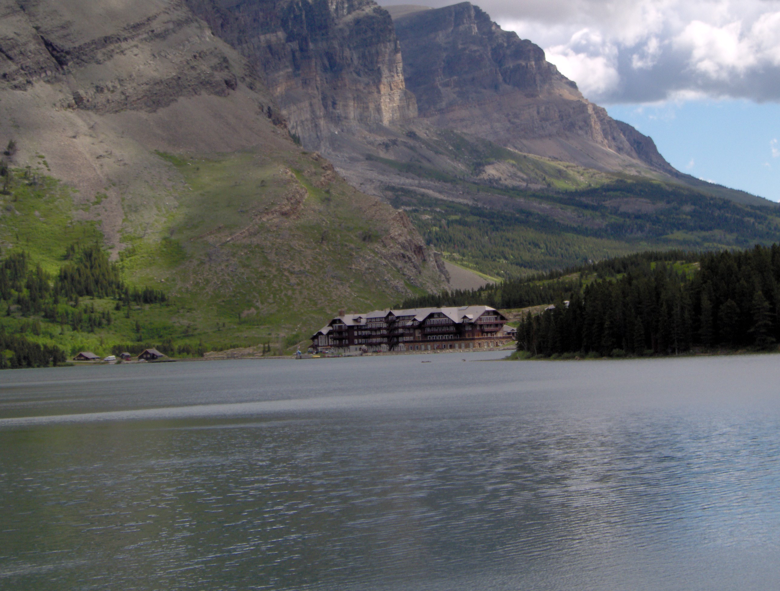 The reverse is true at East Glacier, where the mammoth Glacier Park Lodge competes with the surrounding environment. The massive log hotel was the brainchild of Louis Hill, the president of the Great Northern Railway, who wished for a building that could mirror the earlier 1905 Forestry Hall for the Lewis and Clark Centennial Exposition. Hill had the vision but architect Samuel L. Bartlett of St. Paul, Minnesota, carried the vision into an architectural plan.
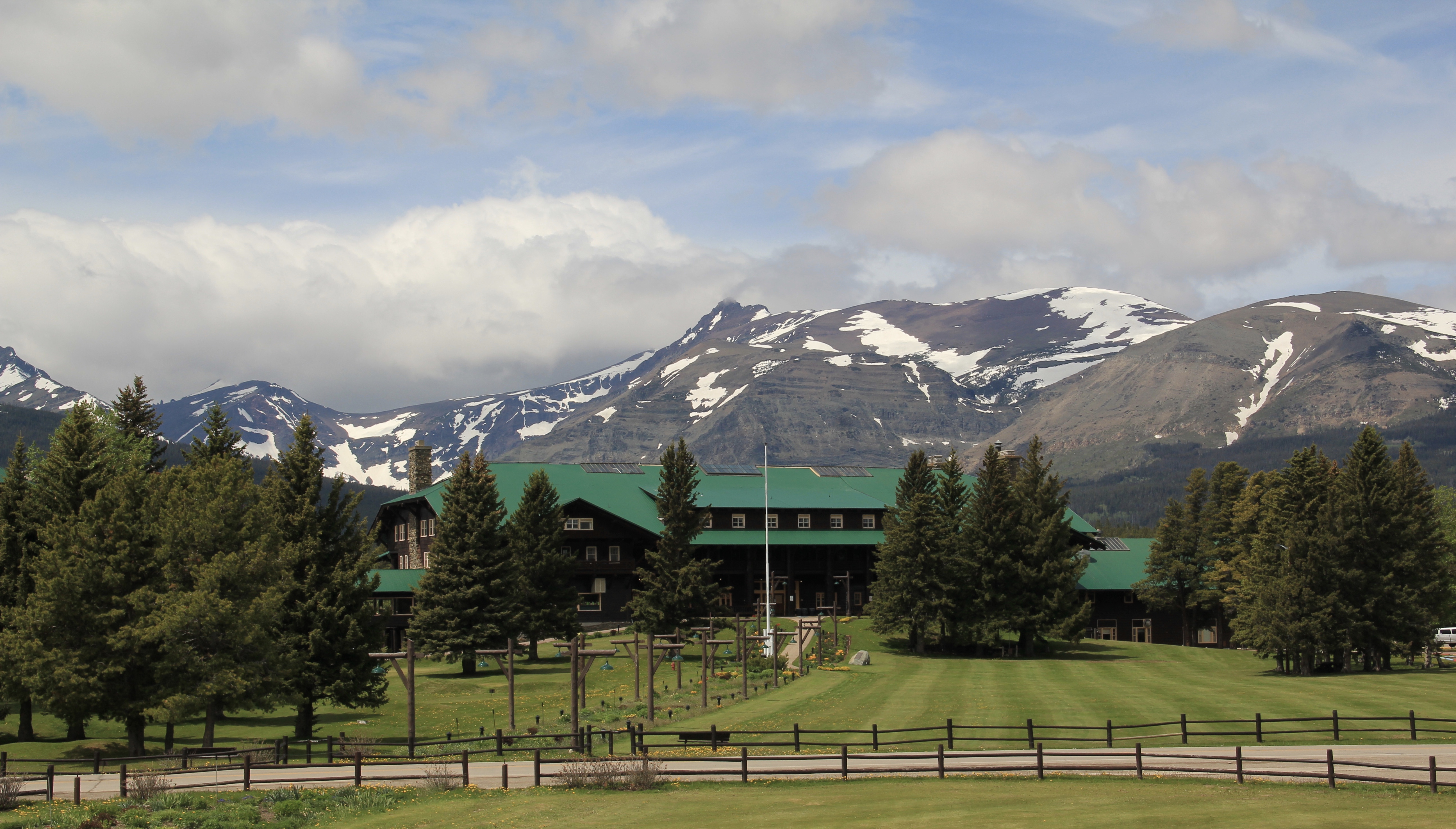
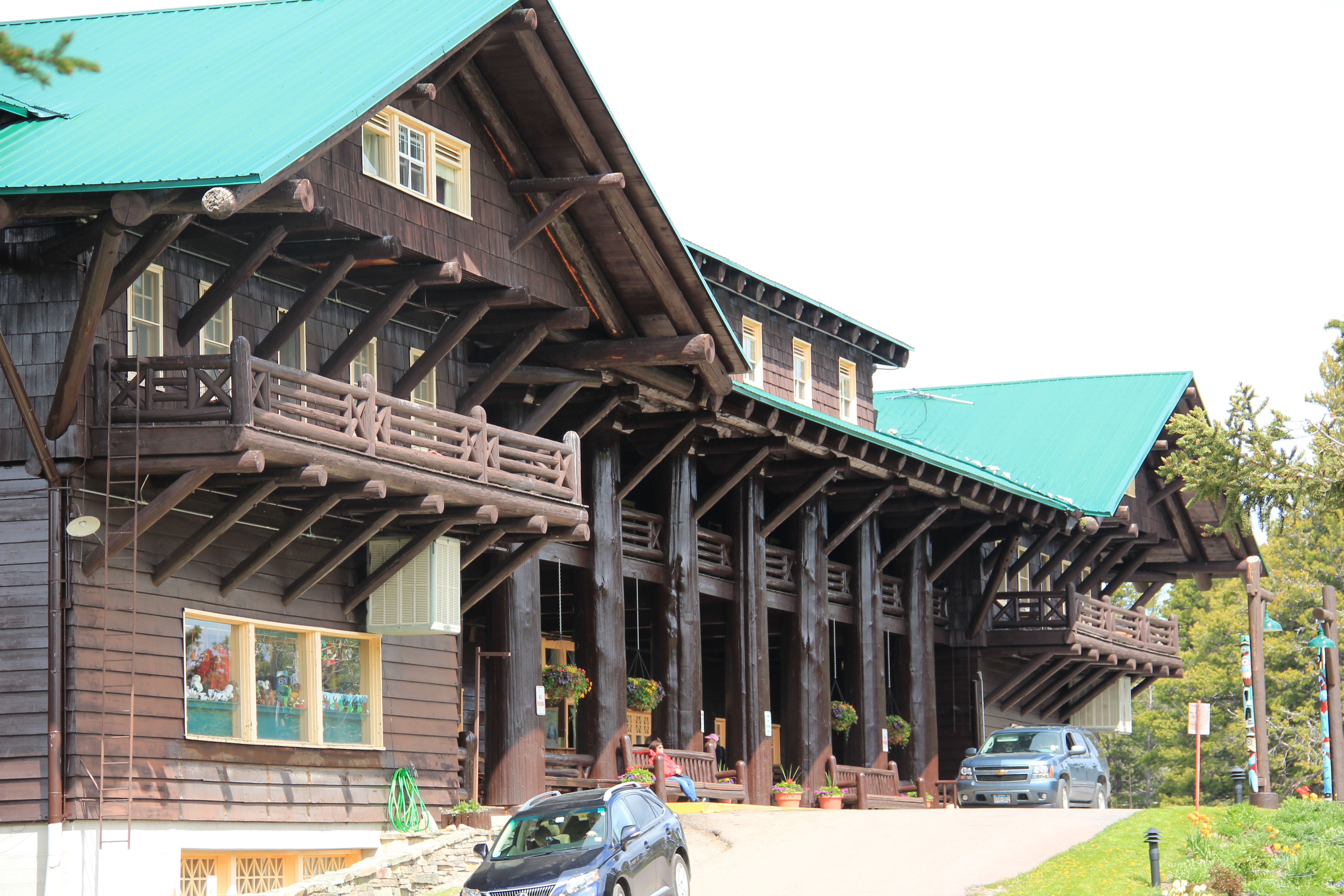


 But the long landscaped walkway from the Glacier Park Lodge to the Great Northern passenger station, also themed in Rustic style, let everyone know who was in charge–the railroad, whose influence created the national park and then built the facilities that defined the look of the park for the next 100 years.
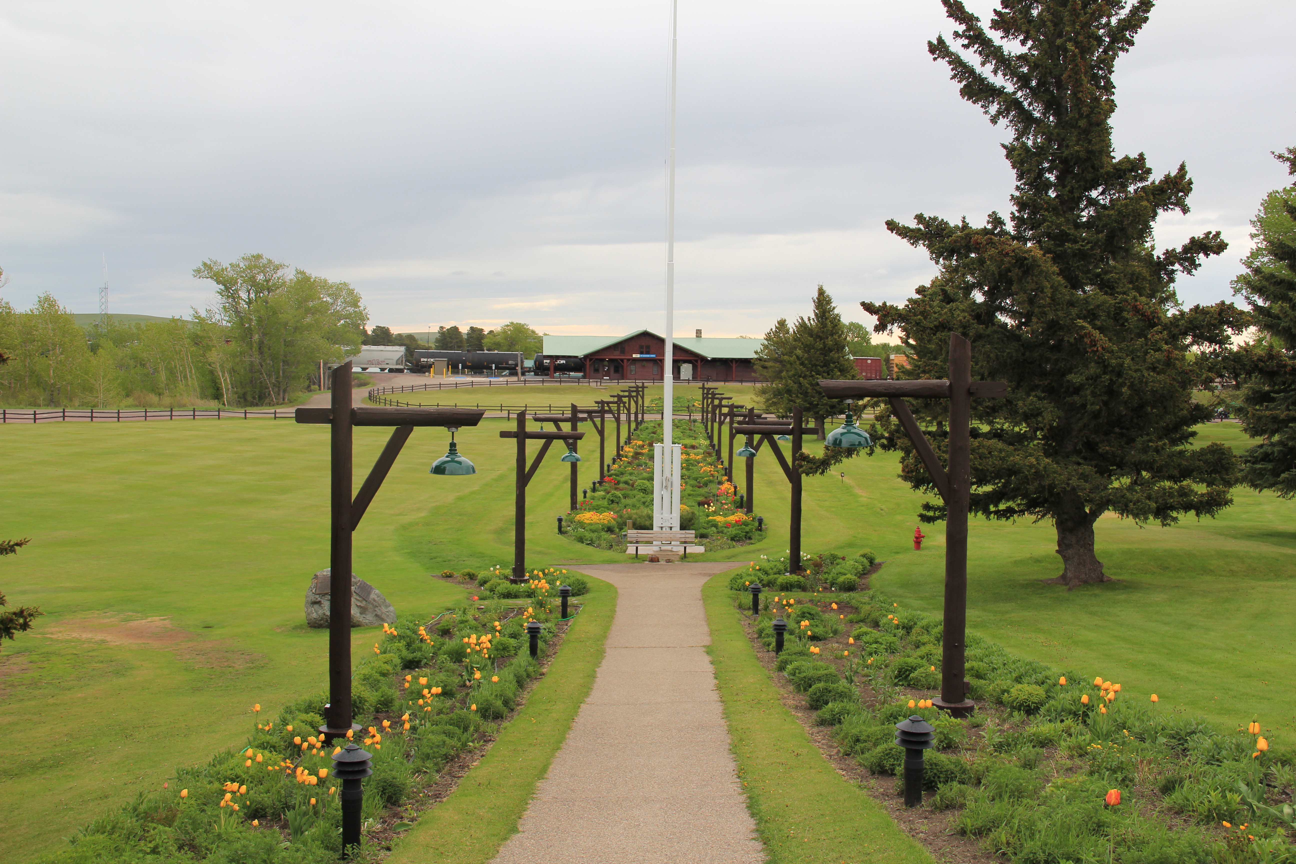


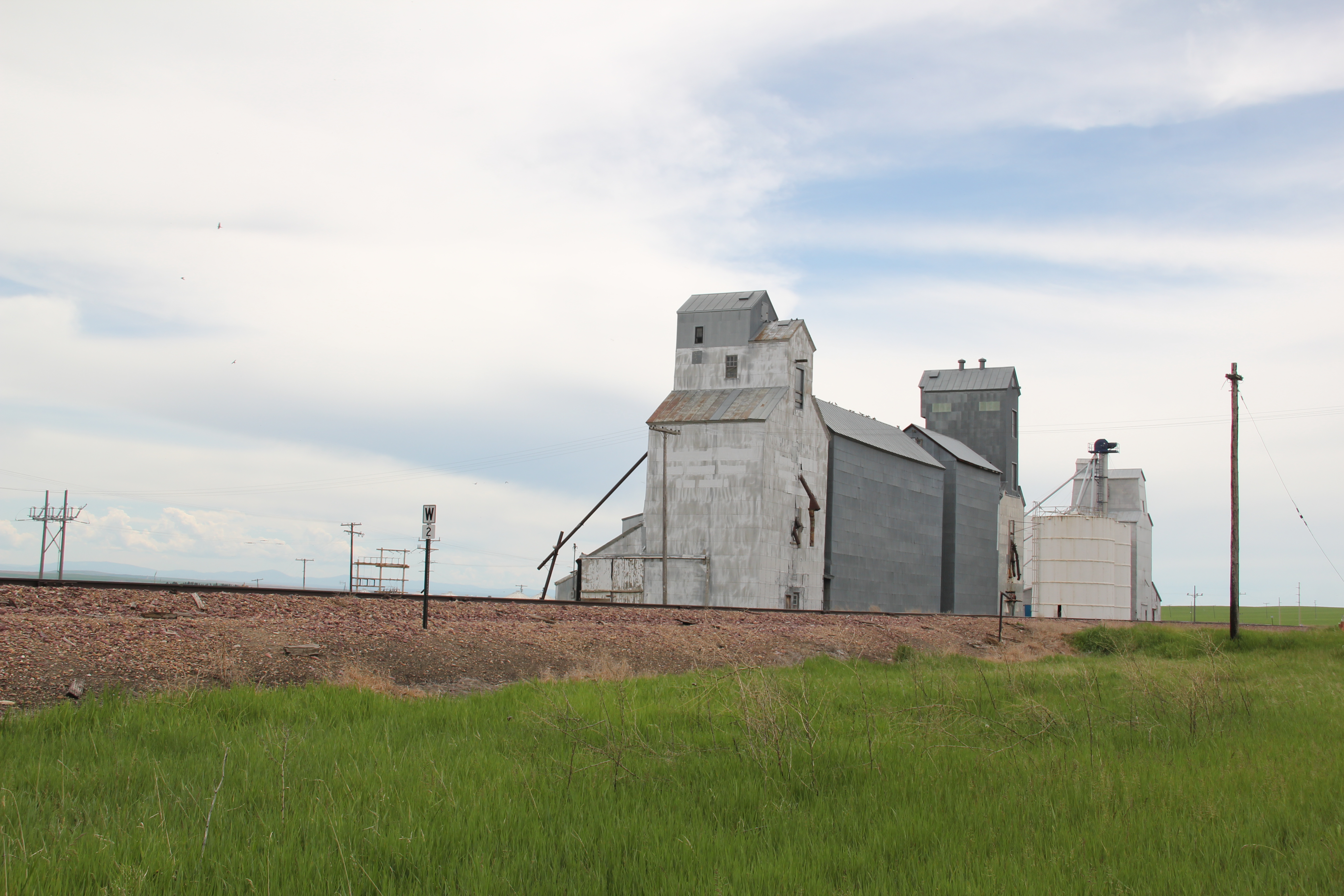
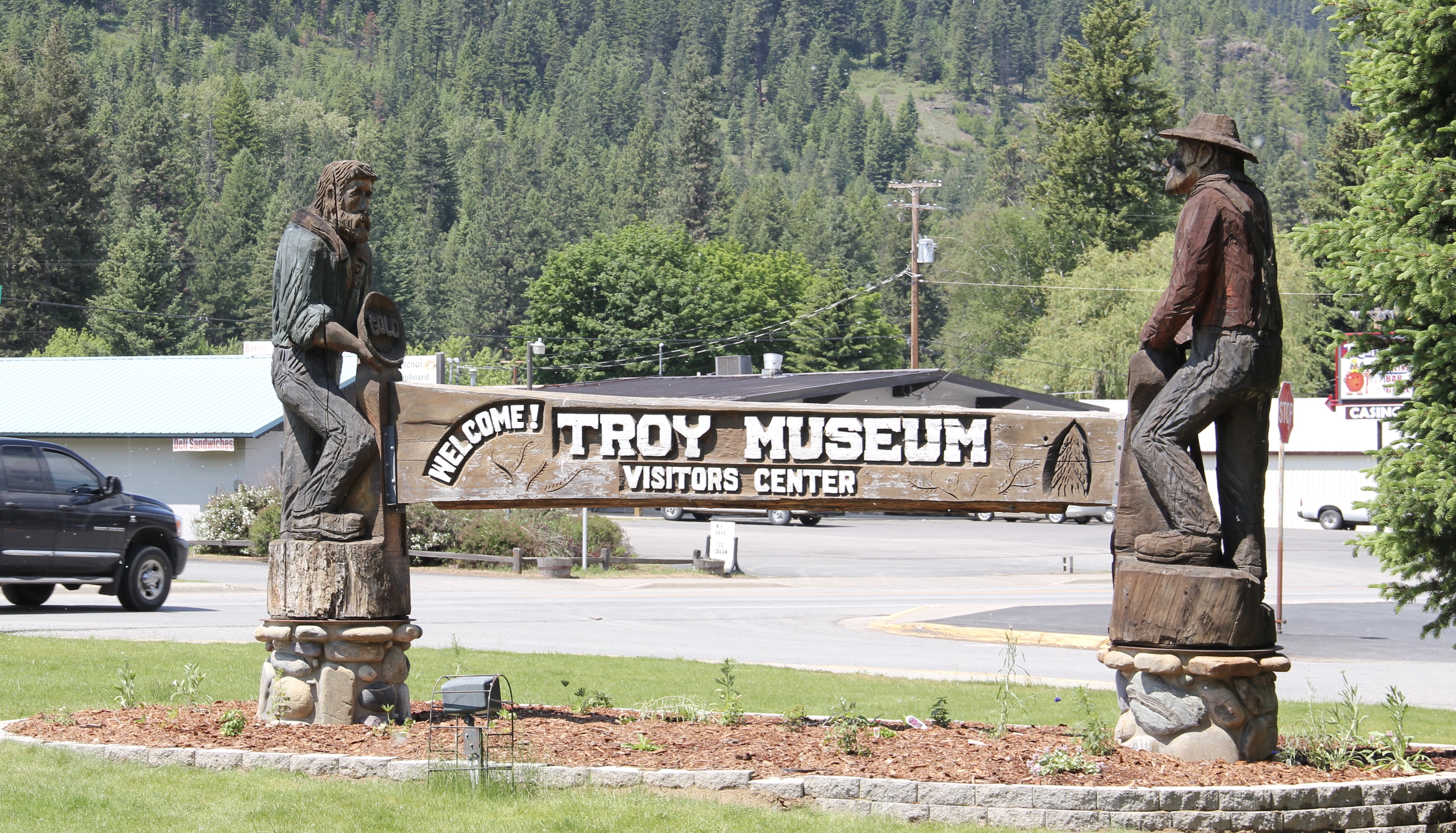 I love Montana town signs, and Troy, deep in the state’s logging country, has one of the best. The sign lures to a city park nestled along the Kootenai River. The focus point is a


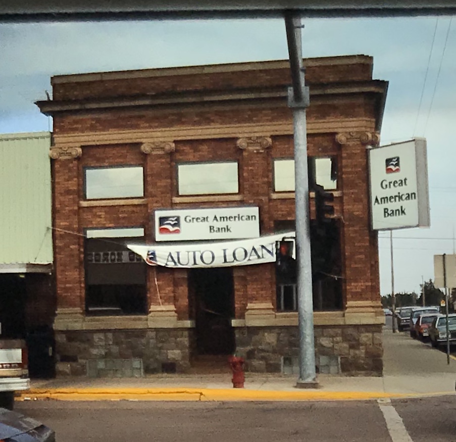
 the Great Northern’s main line, and I documented the few historic buildings left facing the railroad tracks today. The Home Bar (c. 1914) and the Club Bar were institutions then, and remain so today. The Kootenai State Bank building still stands but has experienced a major change to its facade–made better in part by the American flag painted over some of the frame addition.
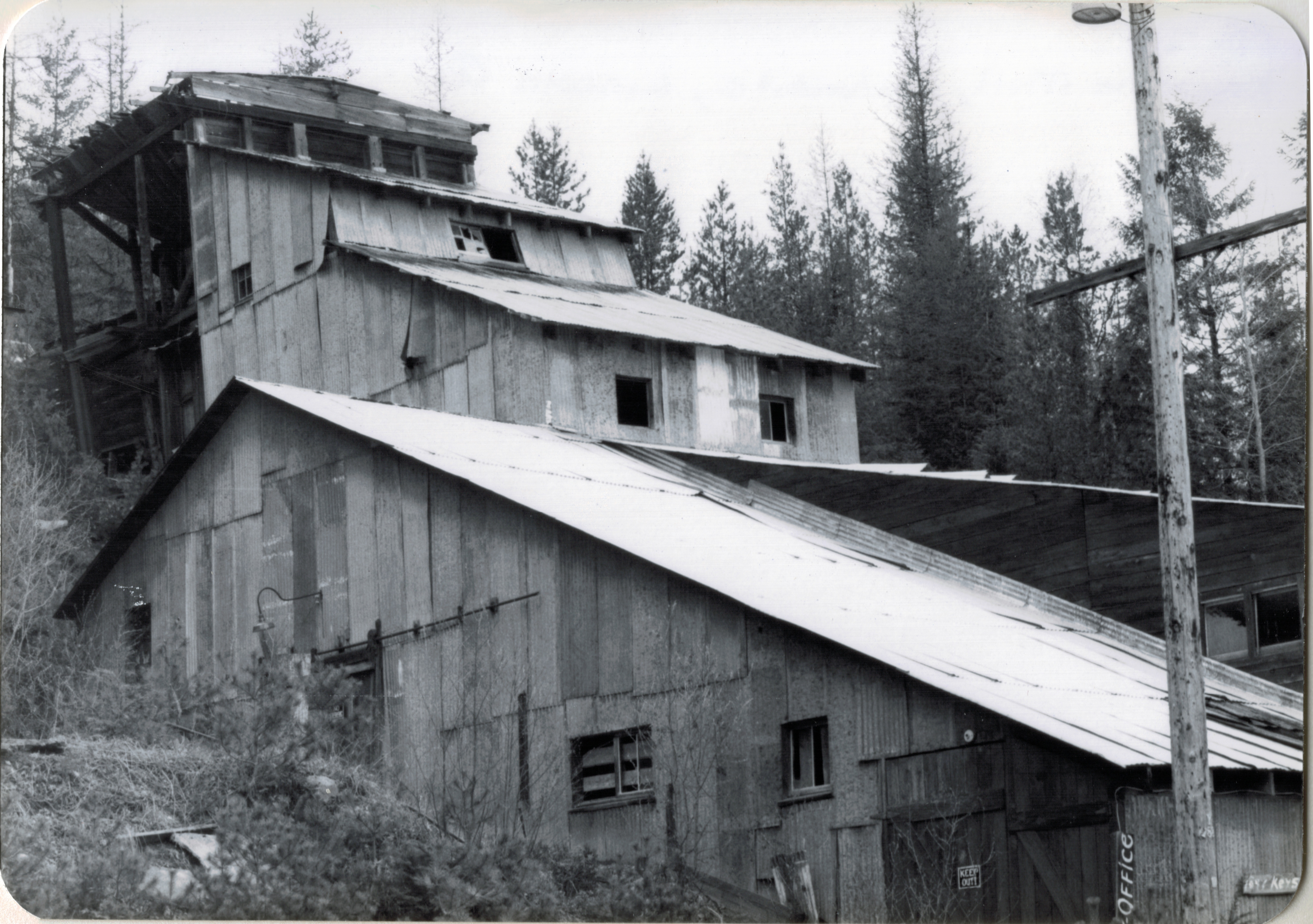
 The Troy Jail, above, was listed in the National Register of Historic Places in 2006 and it remains the only building so listed in the town today. D.E. Crissey, a local contractor, built it out of concrete in 1924 during Troy’s boom from 1916 to 1926 when its population jumped from 300 to 1300. The Snowstorm mine, which produced lead, zinc, and silver, started to serve the demand for raw materials during World War I. The mine soon turned what had been a small railroad town into a mining camp best known for its brothels and bars. Then in the early 1920s the Great Northern decided to build a division point here, further booming the town. The Sandpoint Pole and Lumber Company began its logging business in 1923, and Troy suddenly was the largest town in the county


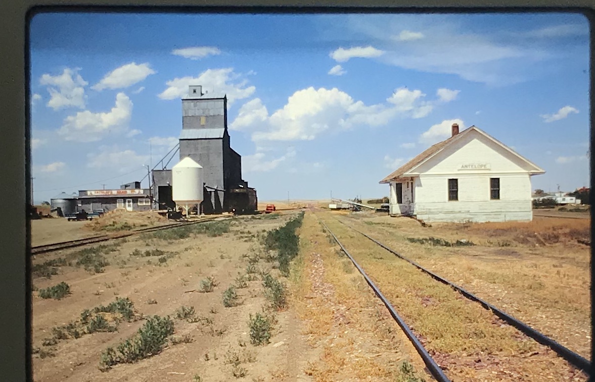
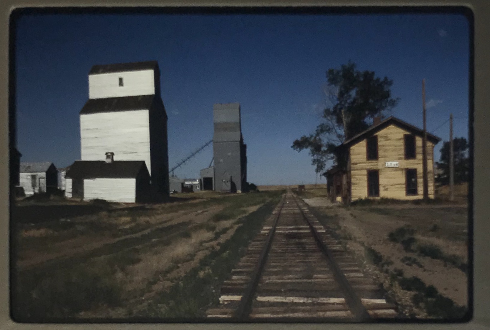
 As I would come to find out, on two return trips here in 1984, the town was much more than that, it was a true bordertown between two nations and two cultures. The two trips came about from, first, a question about a public building’s eligibility for the National Register, and, second, the fieldwork for the state historic preservation plan, where such obvious landmarks as the National Hotel and Eureka passenger depot were noted. Thirty
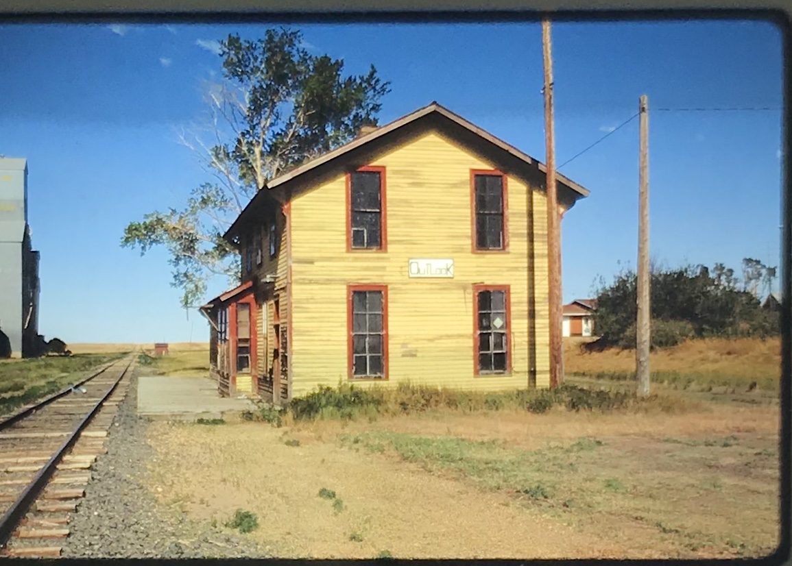
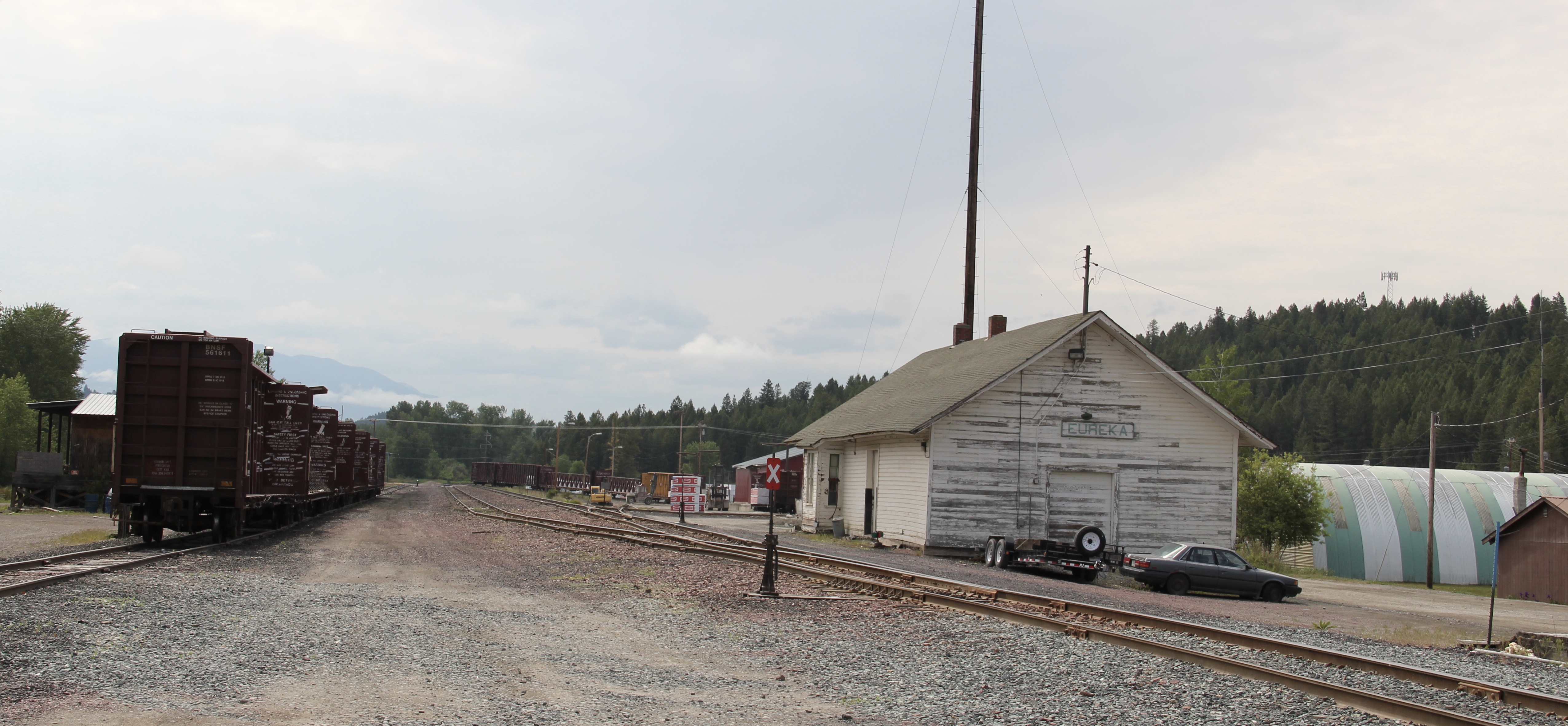 years later I was pleased to see the National Hotel in much better condition but dismayed to see the Great Northern passenger station–a classic example of its early 20th century standardized designs–is far worse condition that it had been in 1984.
 Otherwise, Eureka has done an impressive job of holding together its historic core of downtown one and two-story commercial buildings. In 1995, owners had the Farmers and Merchants State Bank, built in 1907, placed in the National Register. Walking the town, however, you see the potential of a historic district of this turn of the 20th century place.
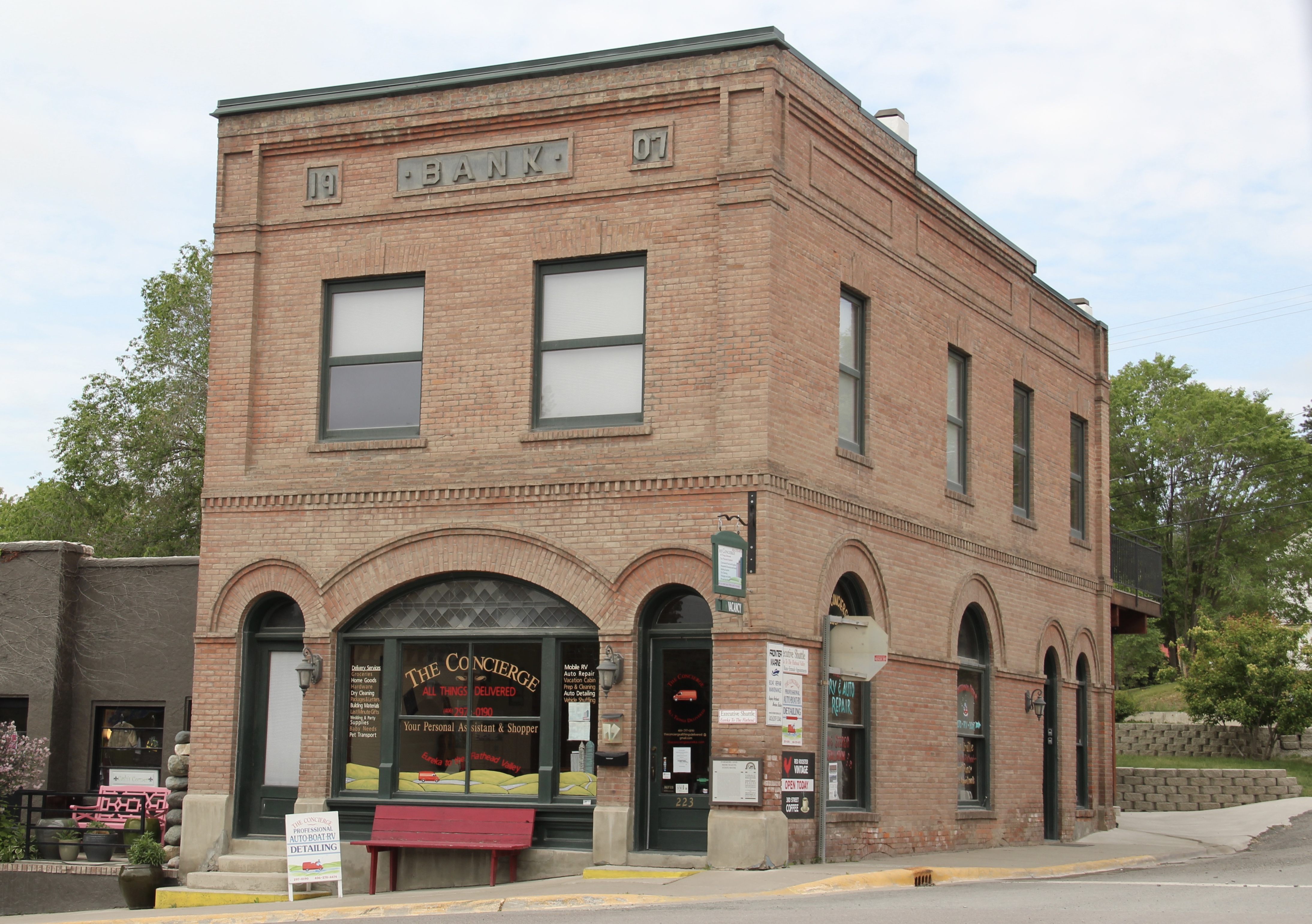


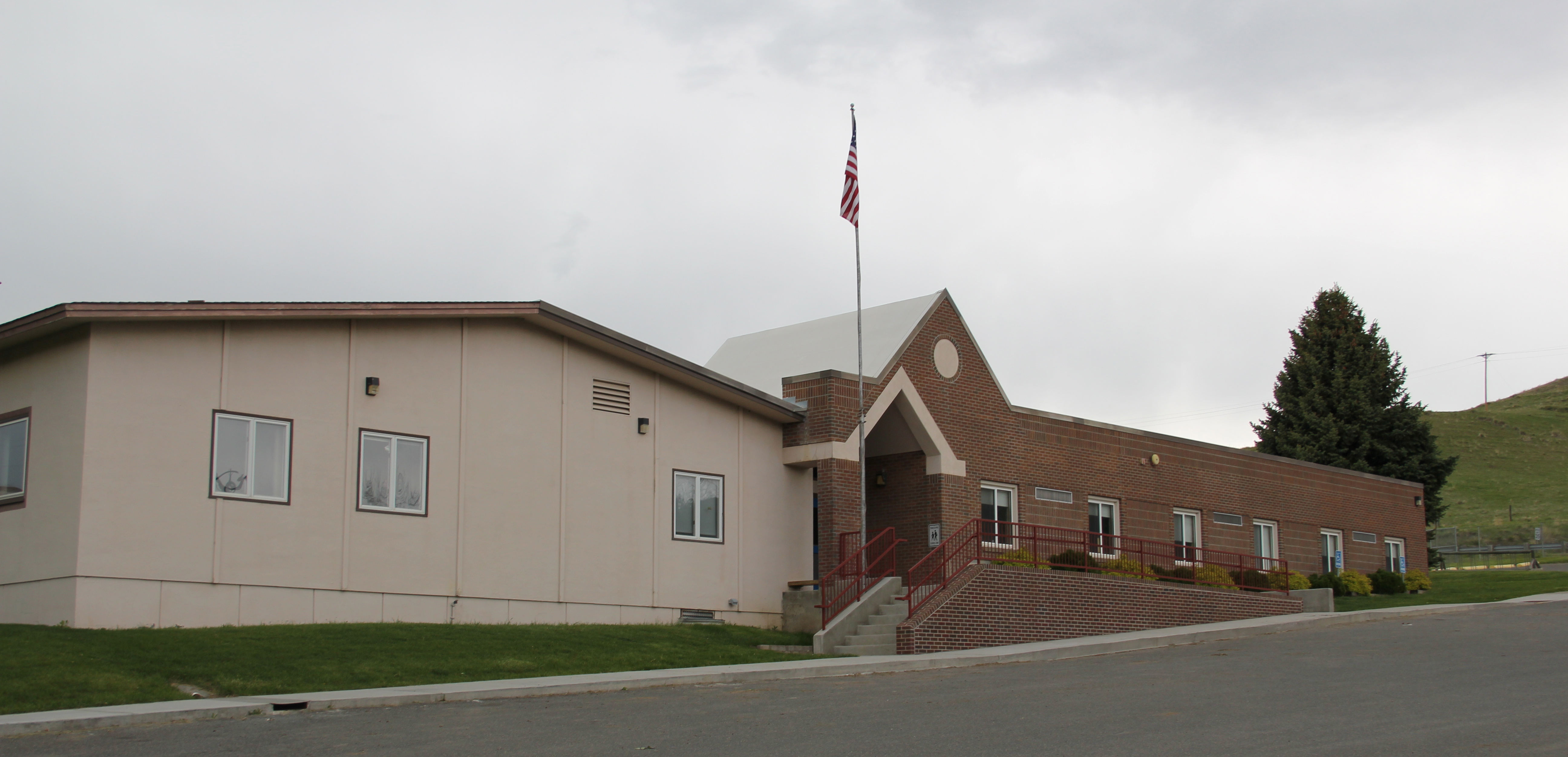
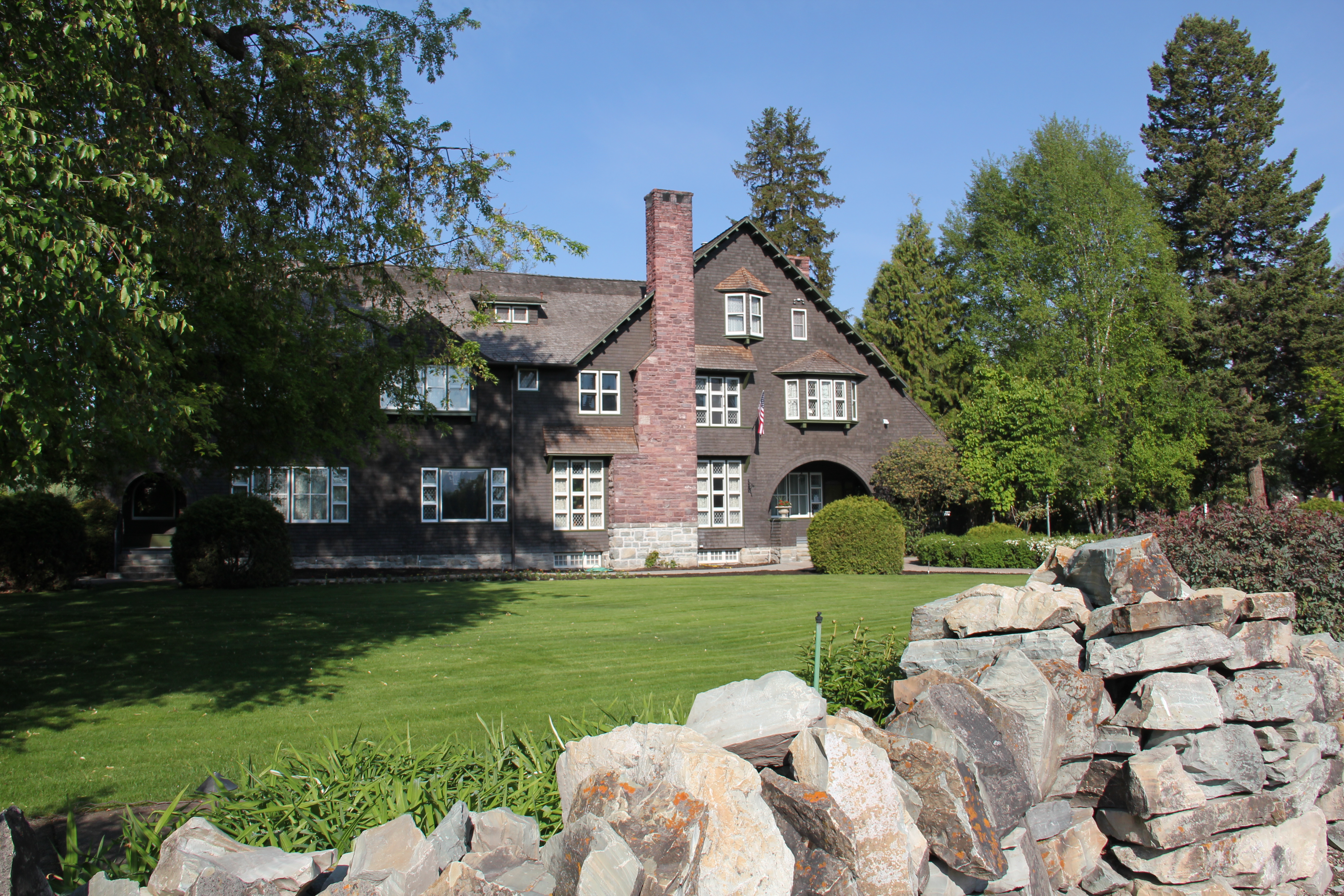
 Located on a hill perched over the town, the building was obviously a landmark–but in 1984 it also was just 42 years old, and that meant it needed to have exceptional significance to the local community to merit listing in the National Register of Historic Places. Eureka had been a logging community, and the depression hit hard. The new building not only reflected community pride but also local craftsmanship, and it became a
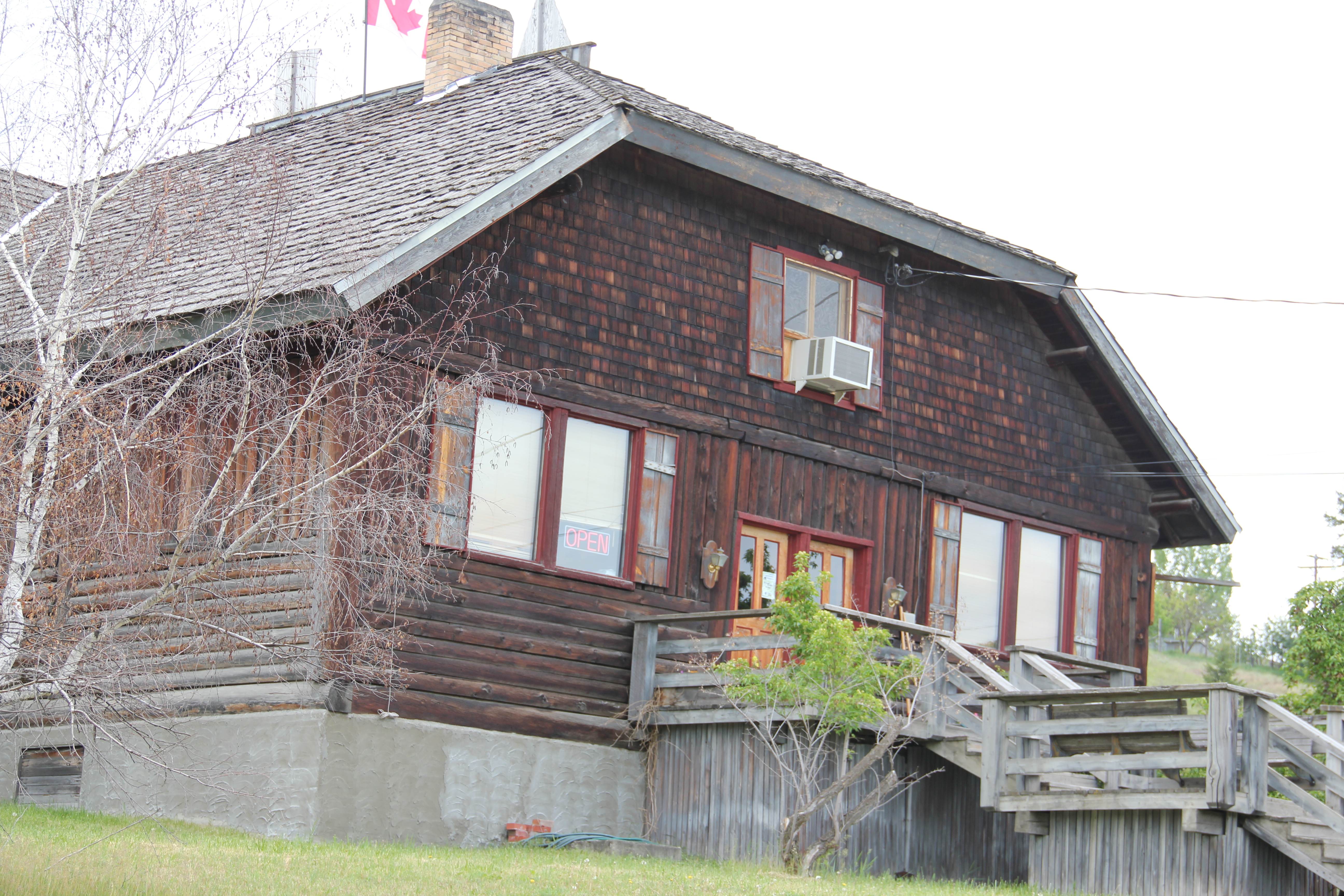 foundation for community resurgence in the decades to come. The building was listed in 1985, and was the first to have my name attached to it, working with Sally Steward of the local historical society. But credit has to go to Pat Bick and especially Marcella Sherfy of the State Historic Preservation Office for urging me to take it on, and to guide me through the maze of the National Register process. Today, it has experienced an adaptive reuse and serves as a rustic log furniture store.
 During those visits in 1984 I also held a public meeting in Eureka for the state historic preservation plan, where I learned about the Tobacco Valley Historical Society and its efforts to preserve buildings destined for the chopping block through its museum village on the southern edge of town. Here the community gathered the Great Northern depot (1903) of Rexford, the same town’s 1926 Catholic Church, the Mt. Roberts lookout tower, the Fewkes Store, and a U.S. Forest Service big Creek Cabin from 1926.