The Foundation for Montana History does many good things across the Treasure State. The Foundation announced its new round of grant awards and I was extremely happy to learn of the grant for a preservation study for the Westetn Heritage Center.
The WHC has been an outstanding regional museum for decades and my professional relationship with the museum is almost 45 years in duration.
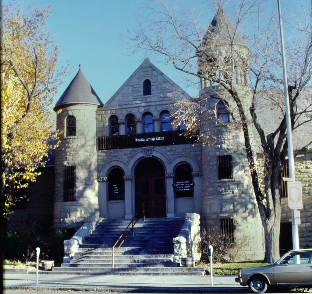
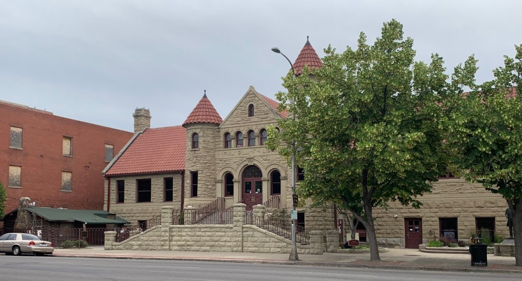
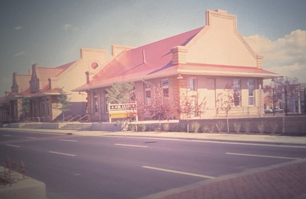
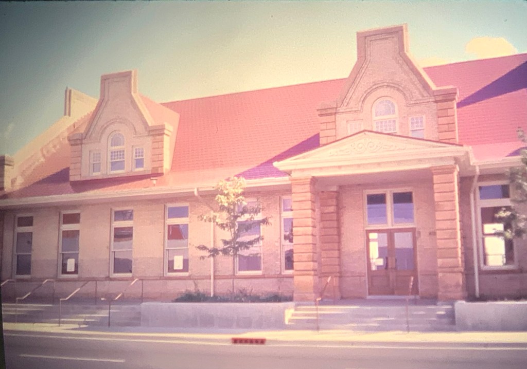
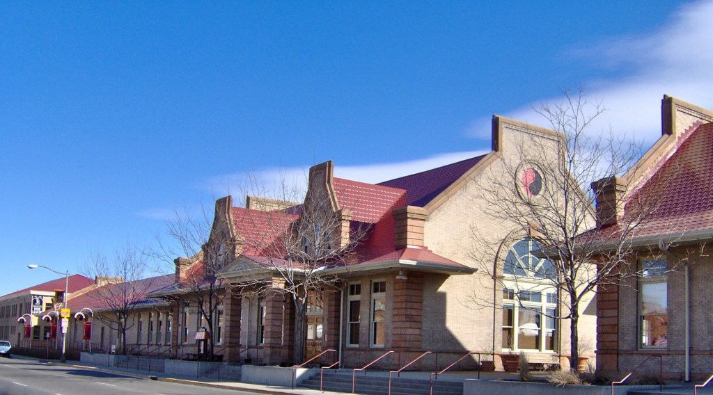
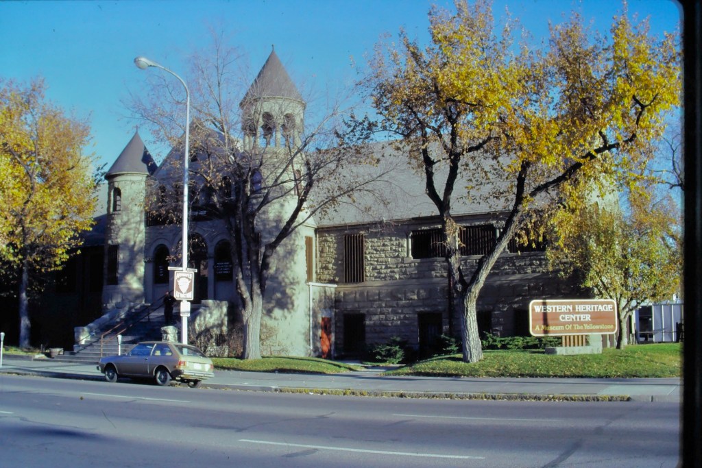
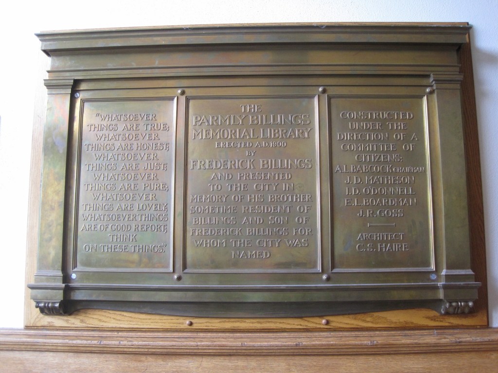
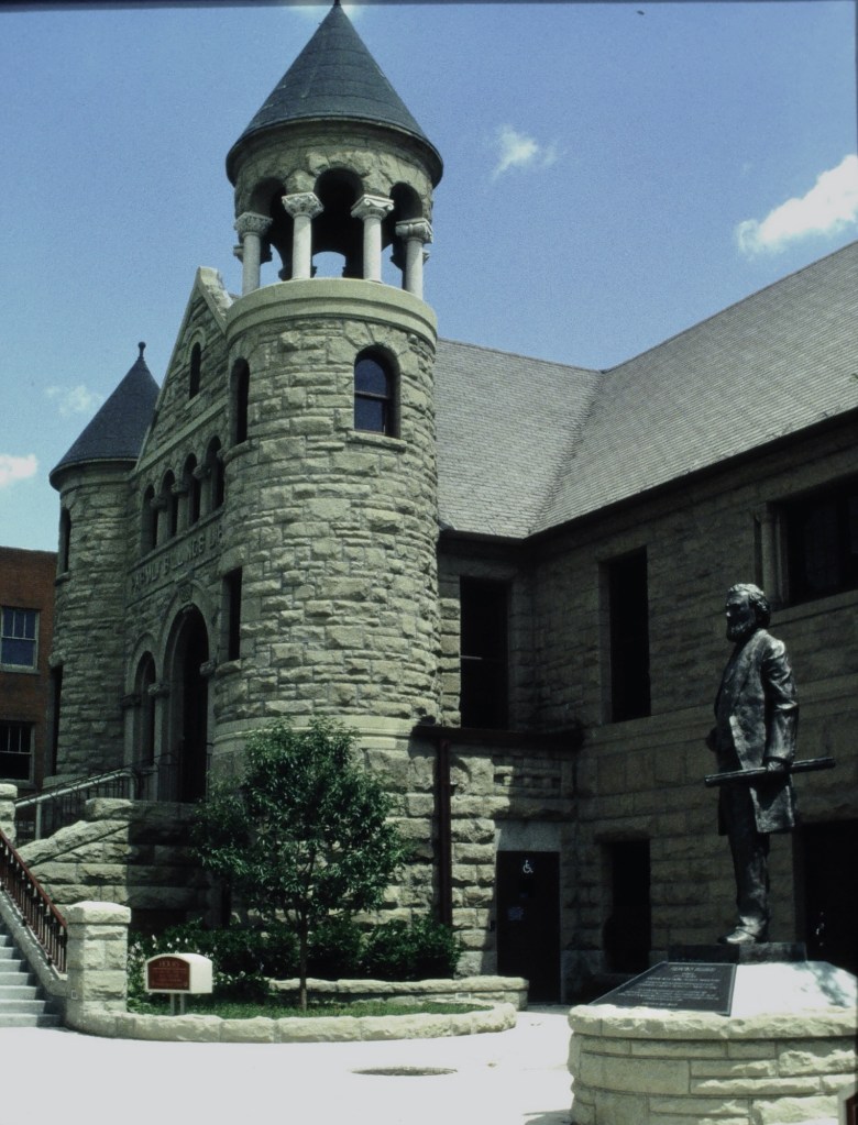
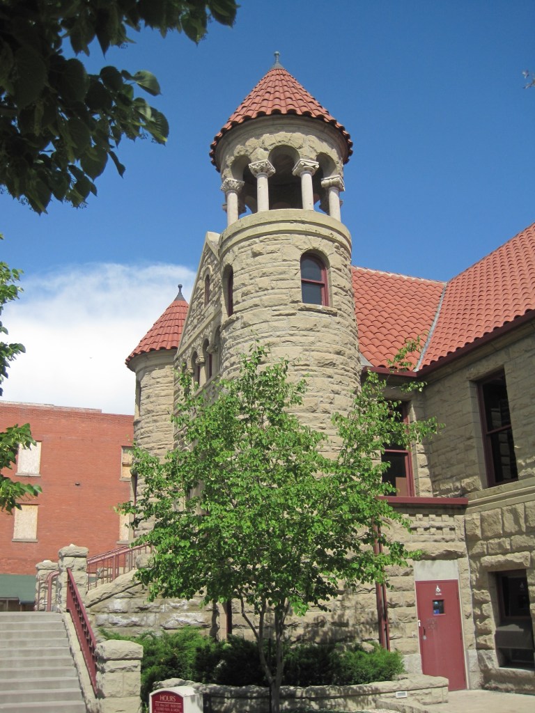
The building was constructed at the turn of the century in honor of Parmly Billings, a pivotal figure in the city’s early development. He was the son of Frederick Billings, the city’s founder and namesake. Parmly’s brother, Frederick, Jr., donated funds for the building to be the Parmly Billings Memorial Library. Montana architect Charles S. Haire designed the library in a Richardsonian Romanesque style. Supervising the project were several leaders of Billings including Albert Babcock and I.D. O’Donnell, who had been a good friend of Parmly.
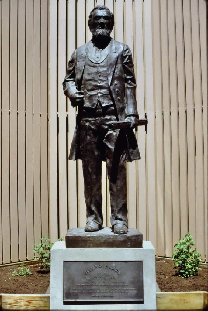
In the early 1990s visionary WHC director Lynda Bourque Moss reconnected the museum with the Billings heirs and they helped to fund a renovation that restored the original entrance and name and also reorganized the landscape so that a statue of Frederick Billings, which had stood alone in front of a city parking garage, could stand in front of the building.


I was involved with the museum both for the research of my book Capitalism on the Frontier: The Transformation of Billings and the Yellowstone Valley (1993) and an award winning exhibit on the valley’s history that was created in 1990s.
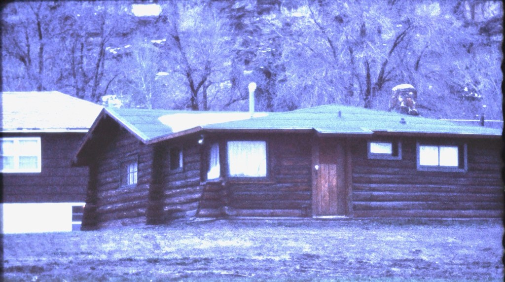
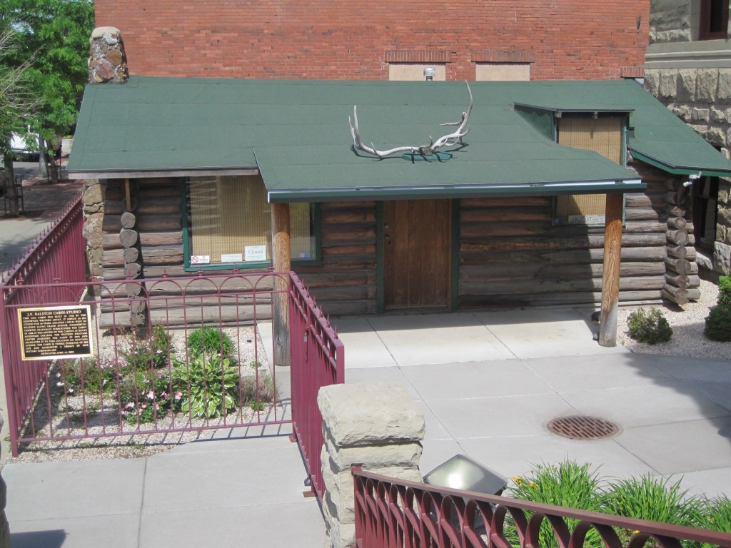
Since then I have of course visited the museum on numerous occasions. In the new century, the museum accepted the donation of the J.K. Ralston studio to the east corner of the property.
it has been over 30 years since the mid-1990s renovations and so it’s time for a new preservation assessment of this very significant building. Congrats to the Foundation for Montana History for making it happen!