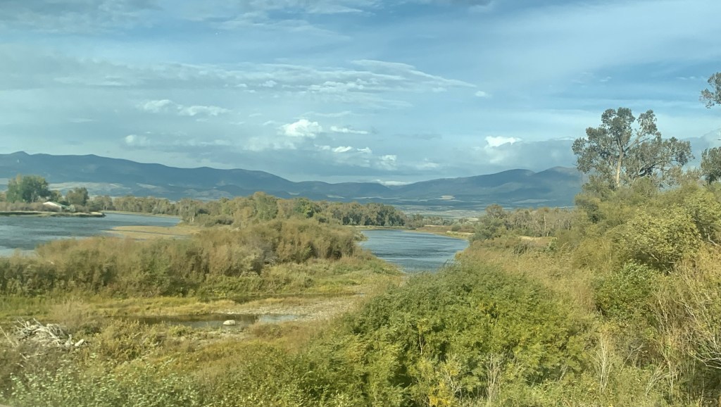
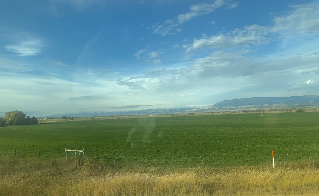
Montana Highway 246 is one of those “side” roads that few travel, unfortunately, because if you go that way from the west toward Glasgow it will take longer than US Highway 2. But the time is well worthwhile because once you cross the Milk River (by way of a modern concrete bridge) you step back to the turn of the 20th century.
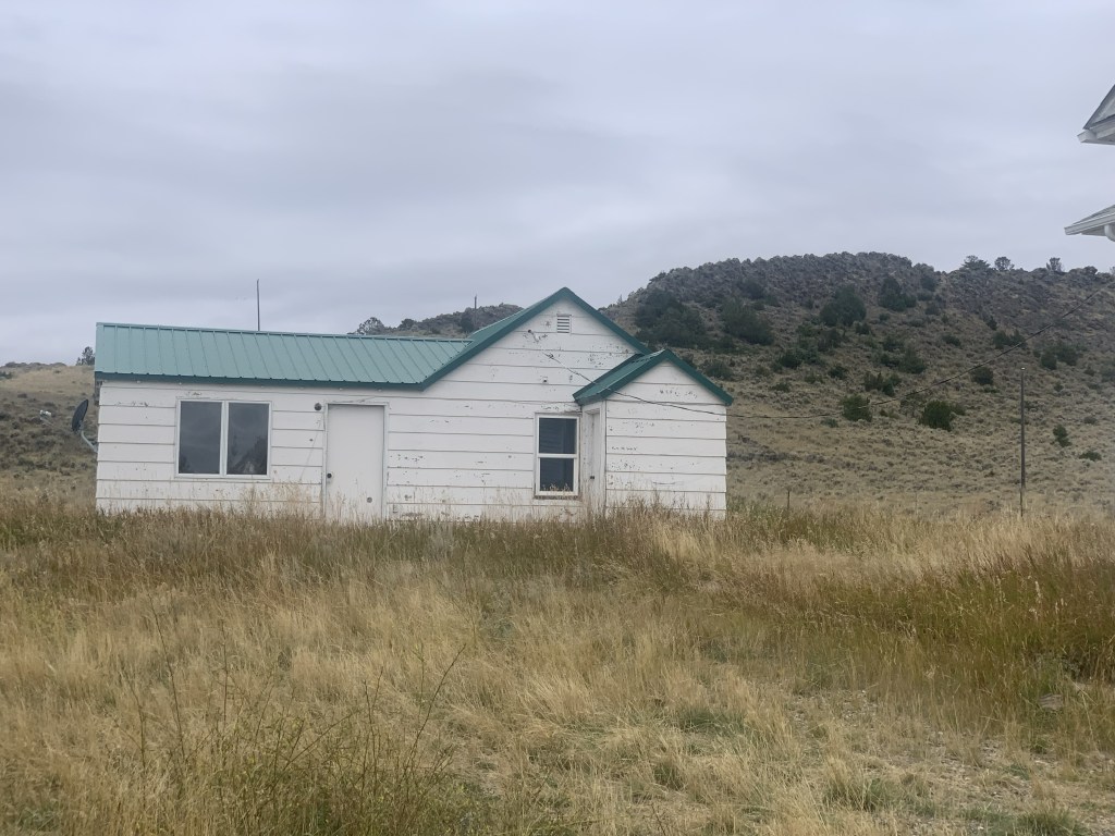
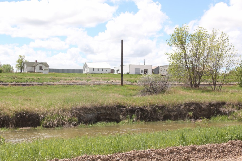
Vandalia has history as a late 19th century trading post at the crossing of the Milk River. Then it became one of the early milk River ranches. Once the Great Northern Railroad built its initial route westward the tracks came this way, following the river.
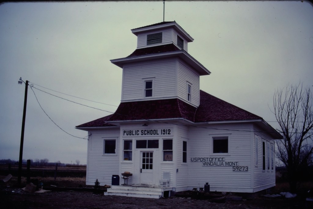
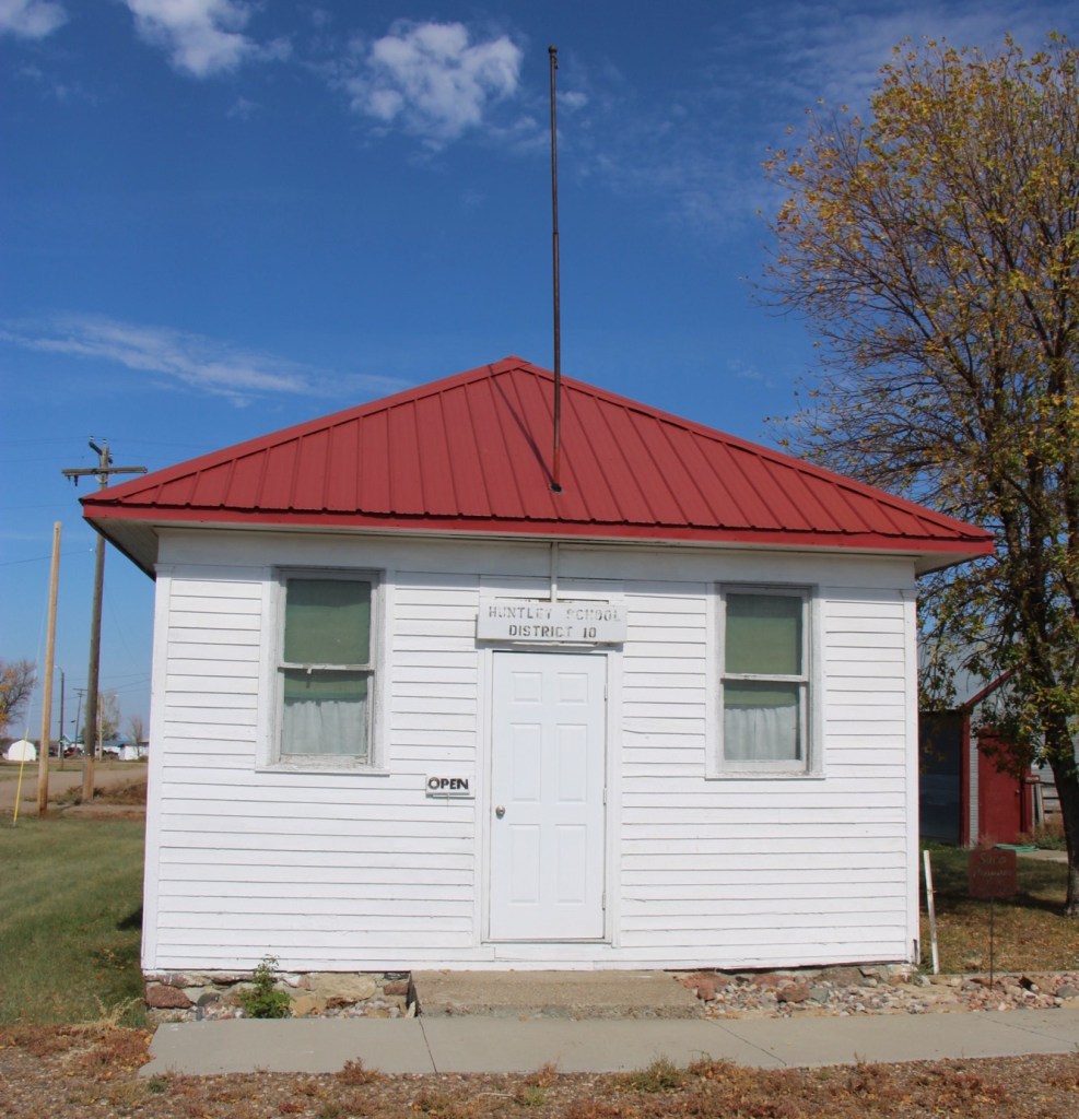
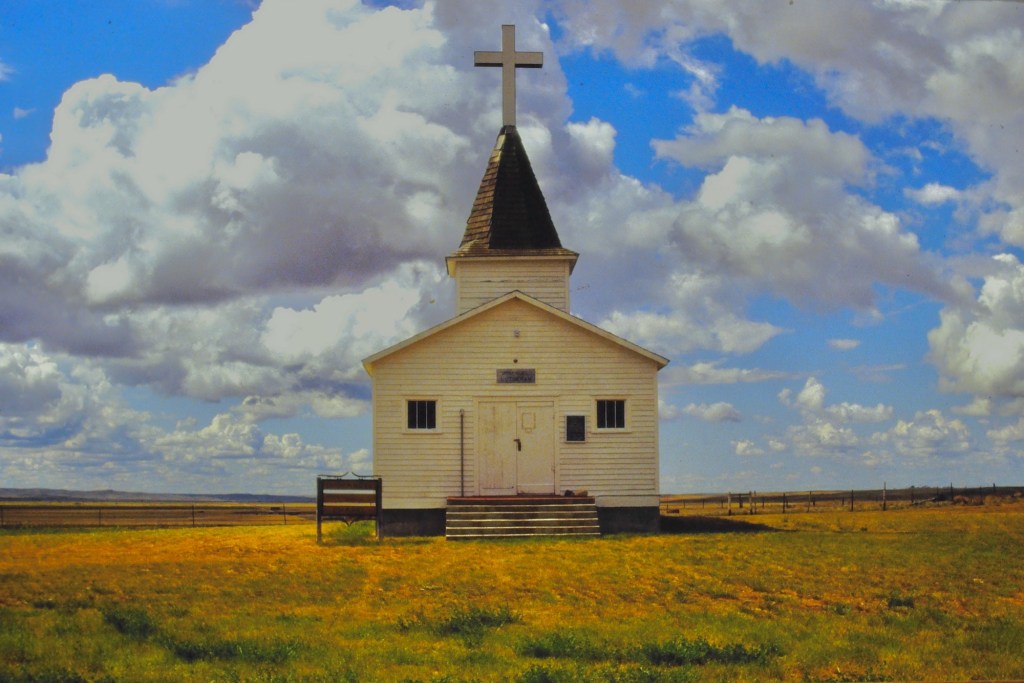
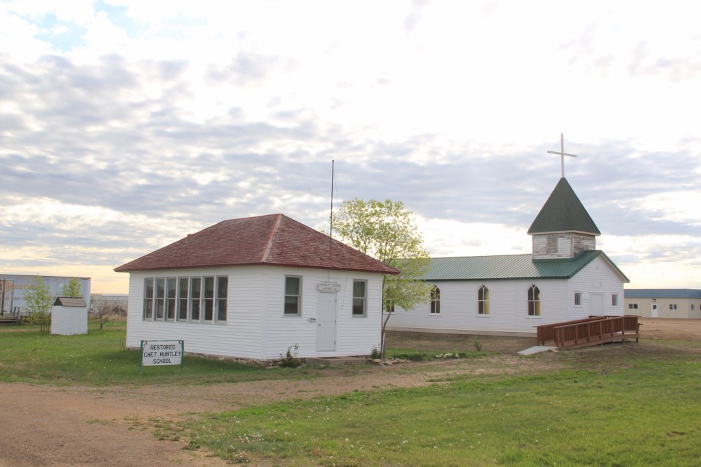
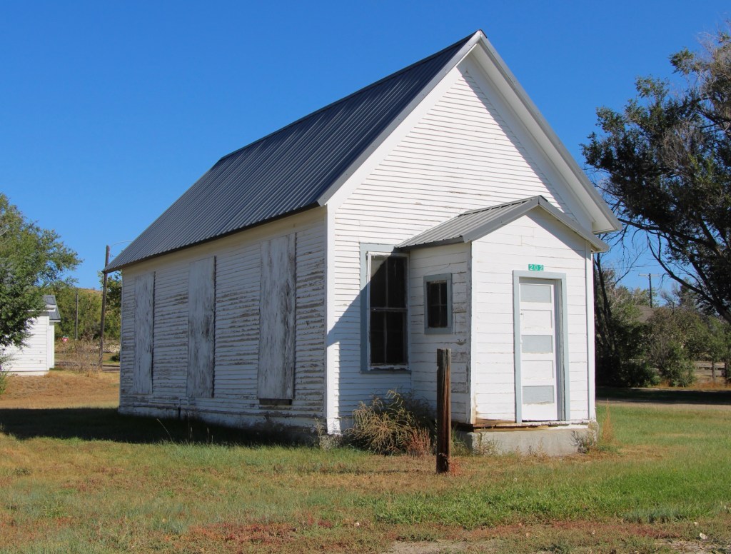
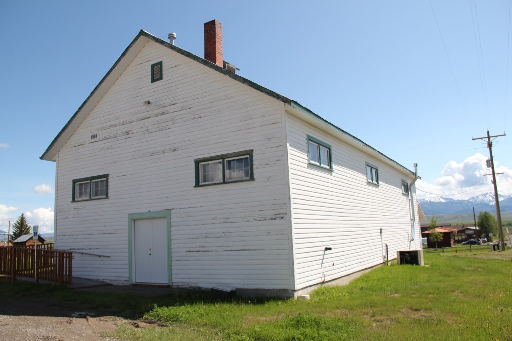
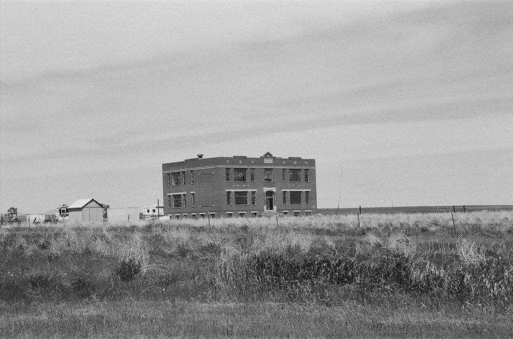
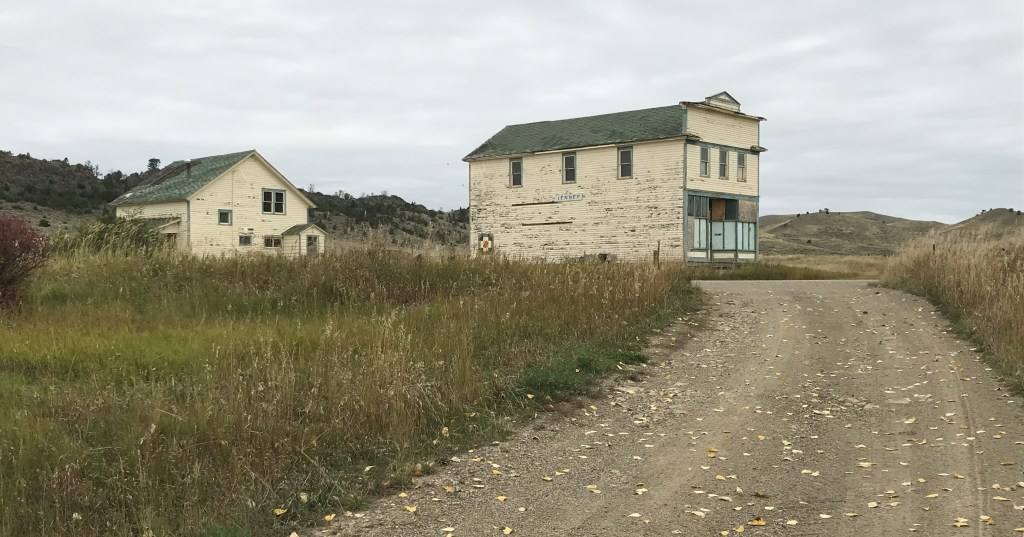
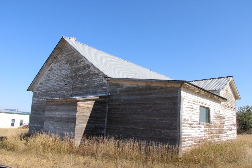
The tracks brought the first generation of homesteaders who built the white-painted frame school in 1912. The school later became the post office, and served that role when I first visited Vandalia in 1984.
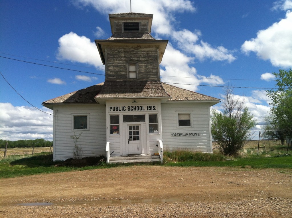
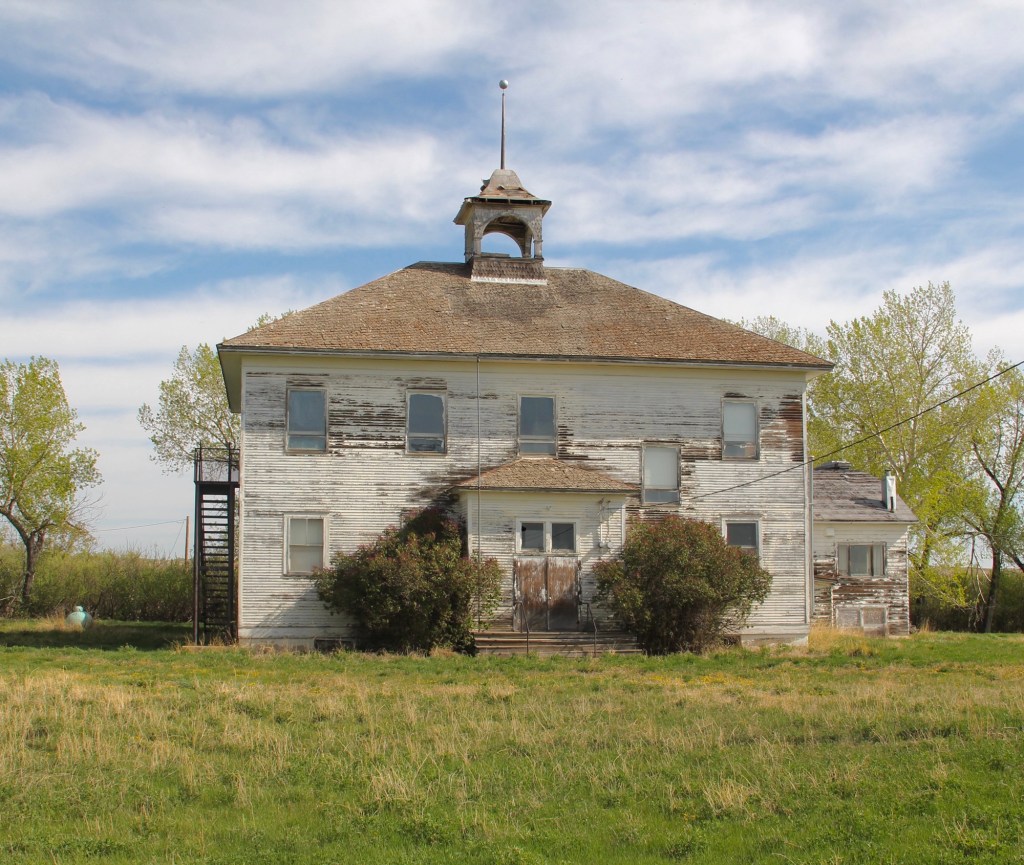
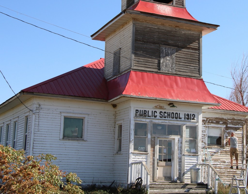
When I next visited almost 30 years later, the post office had closed and the school was in rough condition. Imagine my delight when I next stopped in the fall of 2025. The school was taking on new life. The roof had been prepared and replaced, and prep work was underway to give it a fresh coat of paint.

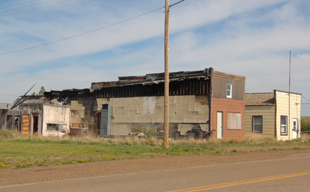
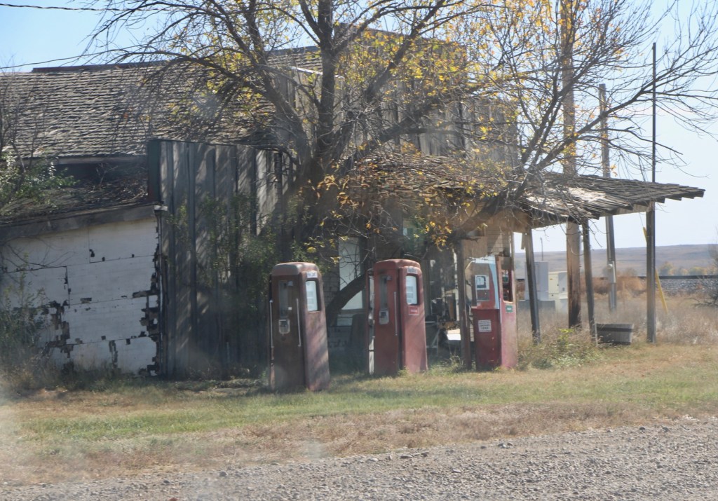
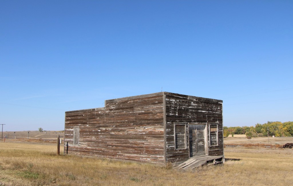
The story was not so bright for the old bar and store that was next door. The old gas pumps were still there but the porch roof was sagging and it looked forlorn.
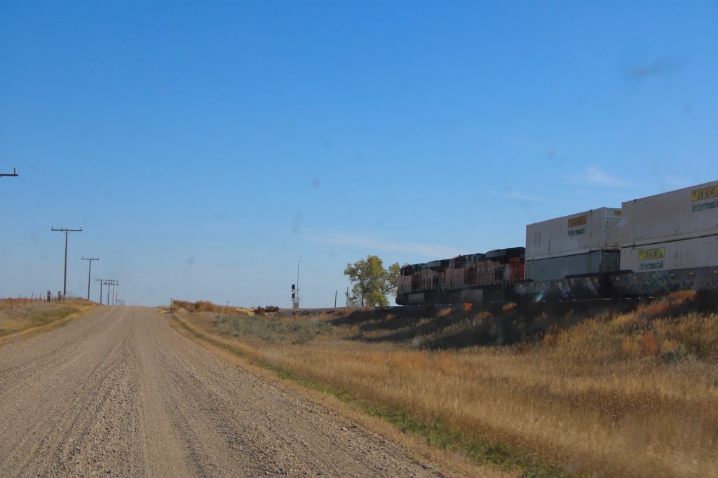
The drive remains fun, especially the graveled original route of US Highway 2 with the occasional Burlington Santa Fe freight train roaring by. Imagine driving cross country on this route when large sections of it remained unpaved.
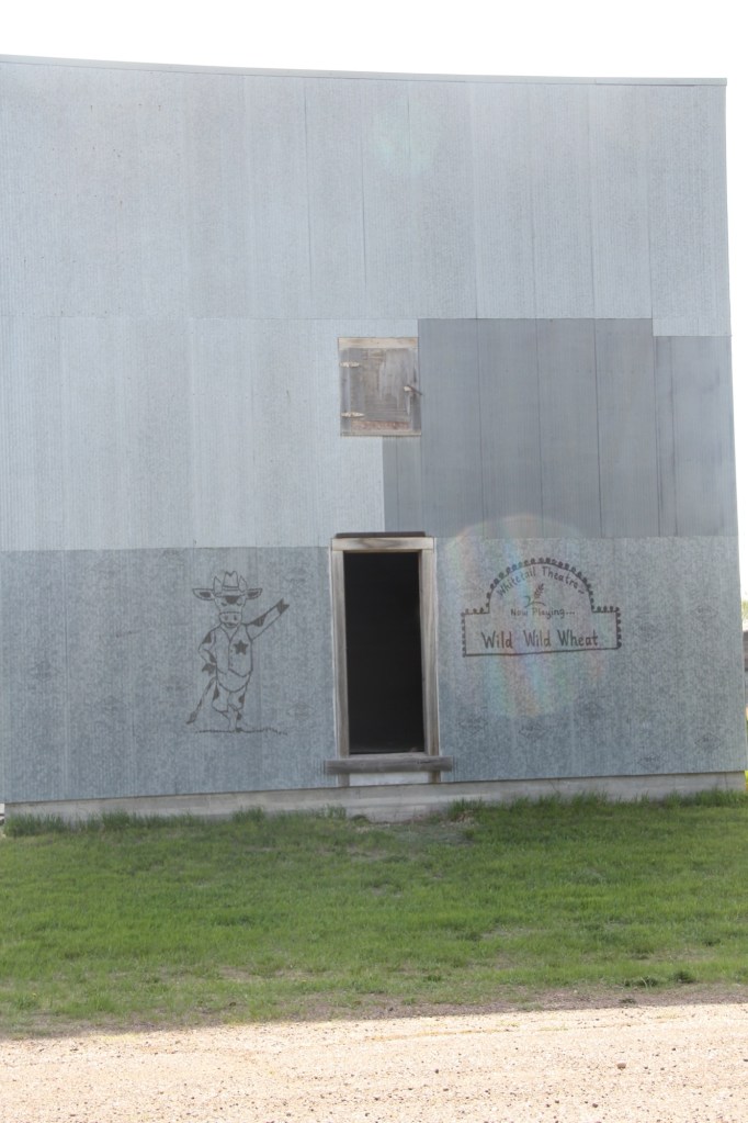
The next town to the east is Tampico, established around 1908. In 2013 the town was tiny but showed some life. Twelve years later, the abandonment was striking.

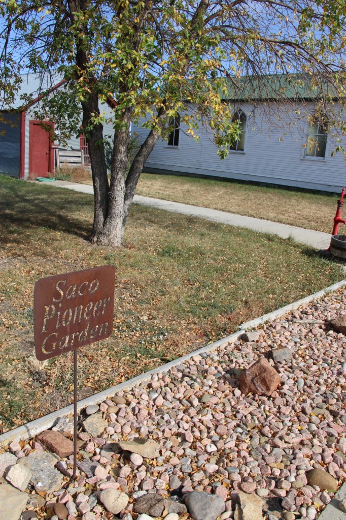
Most early 20th century railroad towns across the northern plains struggle one hundred years later but those off the major highways, like Vandalia and Tampico, could easily disappear.