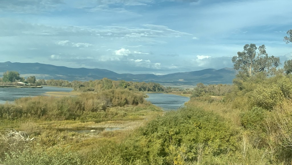
 Between Garrison Junction, where U.S. Highway 12 and Interstate I-90 meet, to Elliston, at near the Mullan Pass over the continental divide, is a beautiful, historic valley carved by the Little Blackfoot River. It is a part of Powell County that hundreds whiz through daily as they drive between Missoula and Helena, and it is worth slowing down a bit and taking in the settlement landscape along the way.

 Captain John Mullan came this way shortly before the Civil War as he built a military road between Fort Benton and Walla Walla, Washington. A generation later, in the early 1880s, the tracks of the Northern Pacific Road used the Mullan Pass to cross the divide and then followed the Little Blackfoot River west towards Missoula.
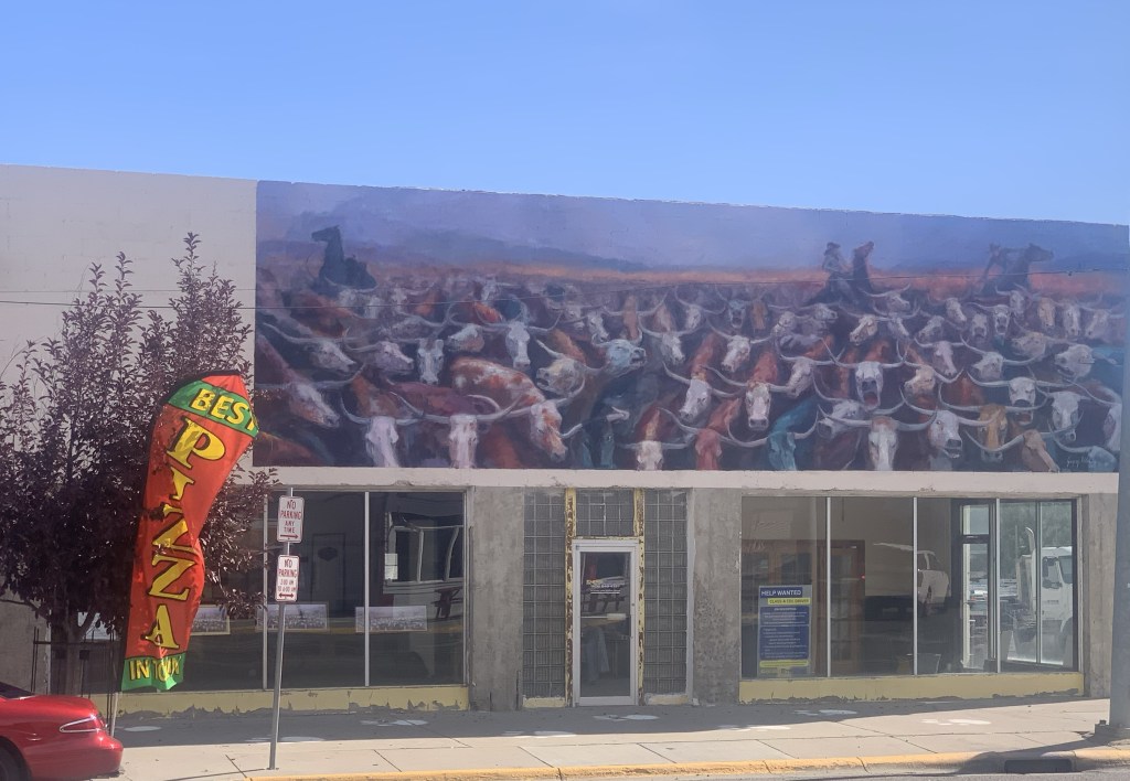
Elliston was the first Northern Pacific town of note on the west side of the divide and while today it is perhaps best known for Lawdog Saloon–definitely worth a stop–it also retains key public buildings from the early twentieth century, including its Gothic-styled
community church, a large gable-front log building that to my eye reads like a 1930s era community hall (I have not verified that), and then a quite marvelous Art Deco-styled brick school, built by the New Deal’s Works Projects Administration in the 1930s.
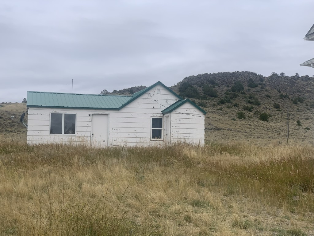
 The oldest federal imprint in Elliston comes from the ranger’s headquarters for the Helena National Forest in its combination of a frame early 20th century cottage and then the Rustic-styled log headquarters.
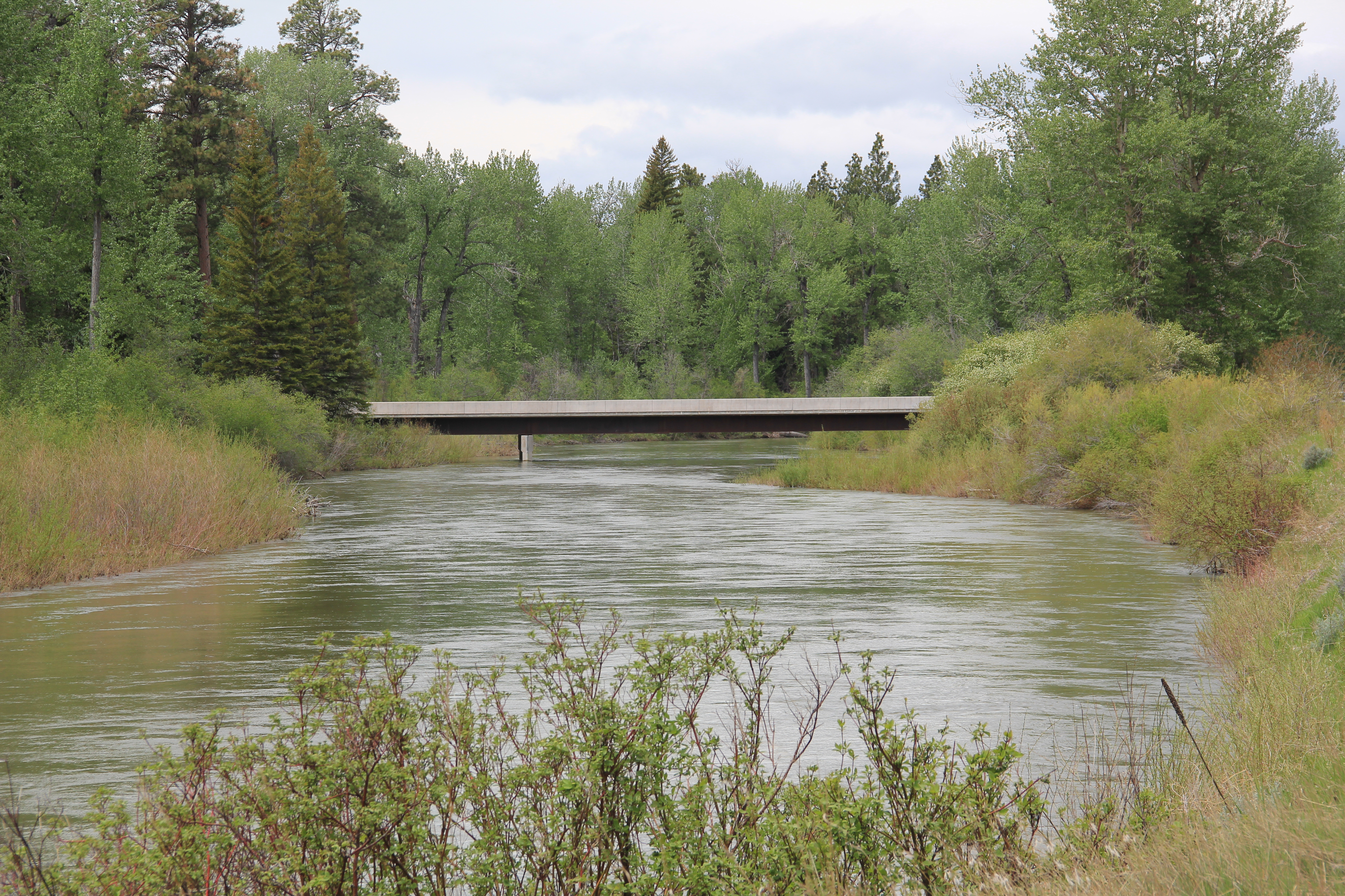
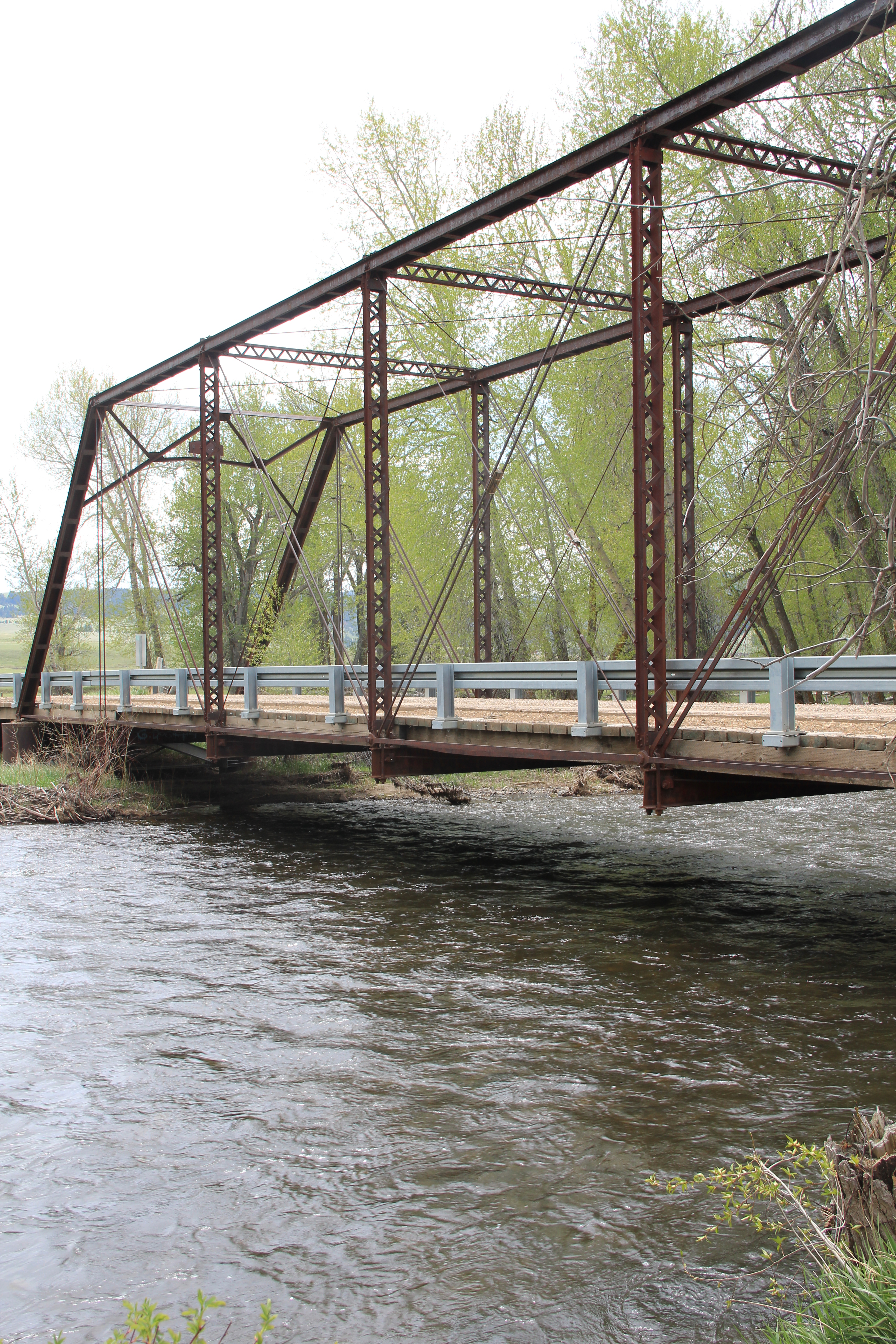
 The next railroad town west is Avon, which is also at the junction of U.S. Highway 12 and Montana Highway 141 that takes travelers northwest toward the Blackfoot River. Like Elliston, Avon has several buildings to note, although the National Register-listed property is the historic steel truss bridge that crosses the Little Blackfoot River and then heads into ranch territory.
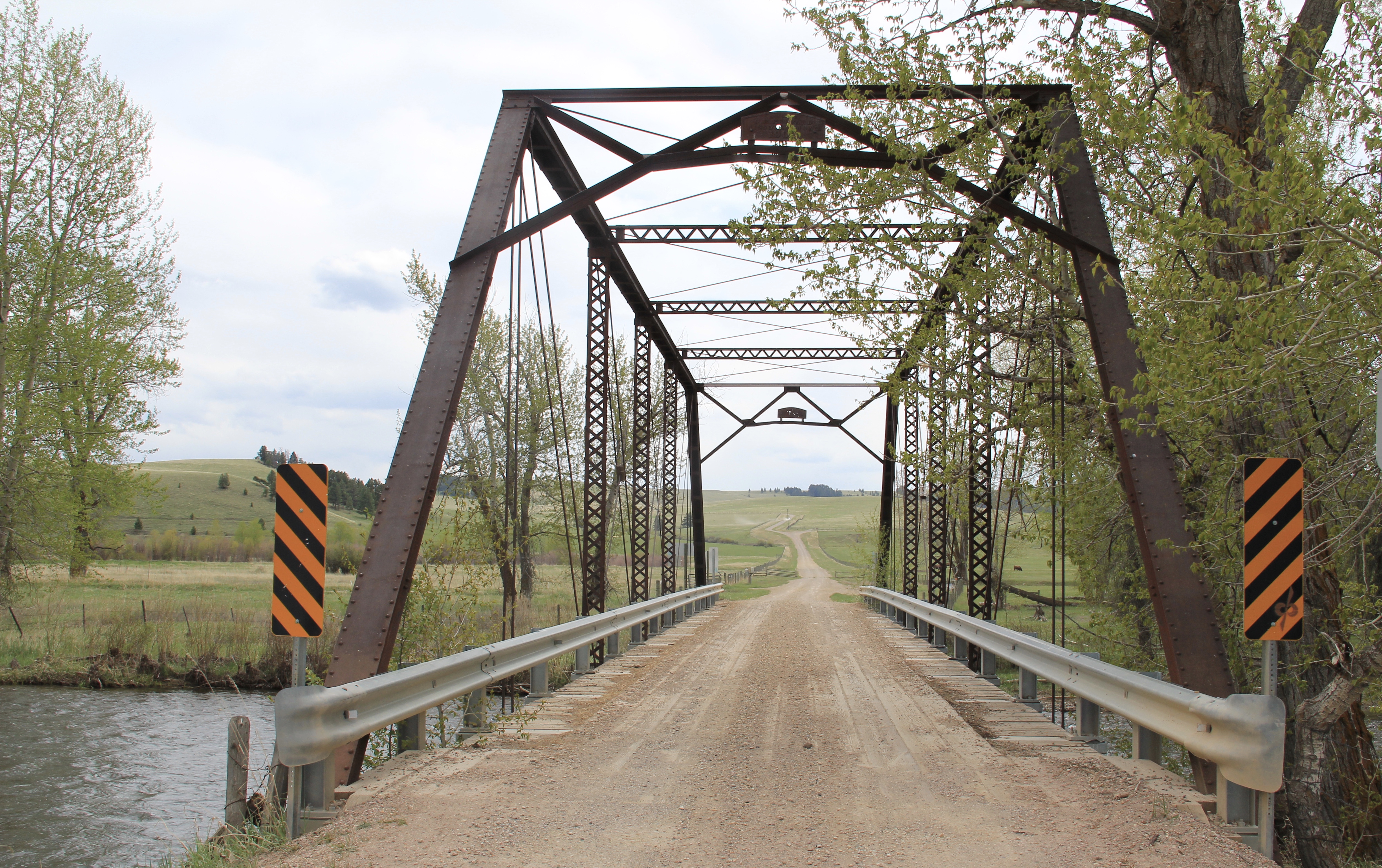 The bridge is a Pratt pony truss, constructed in 1914 by contractor O.E. Peppard of Missoula, and little altered in the last 100 years. As the National Register nomination notes, the bridge’s camelback trusses are unusual and have not been documented in other Montana bridges from the early 20th century.
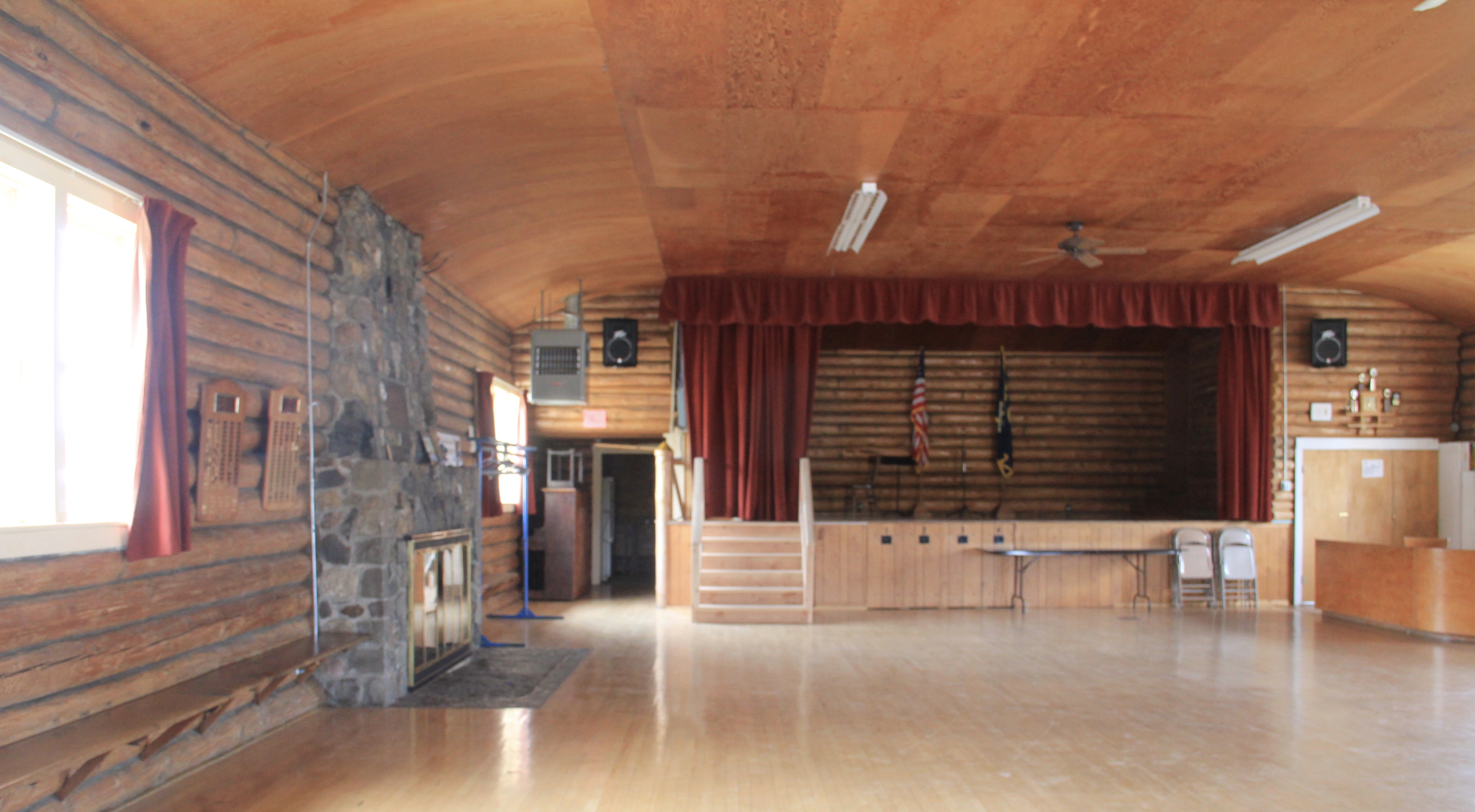
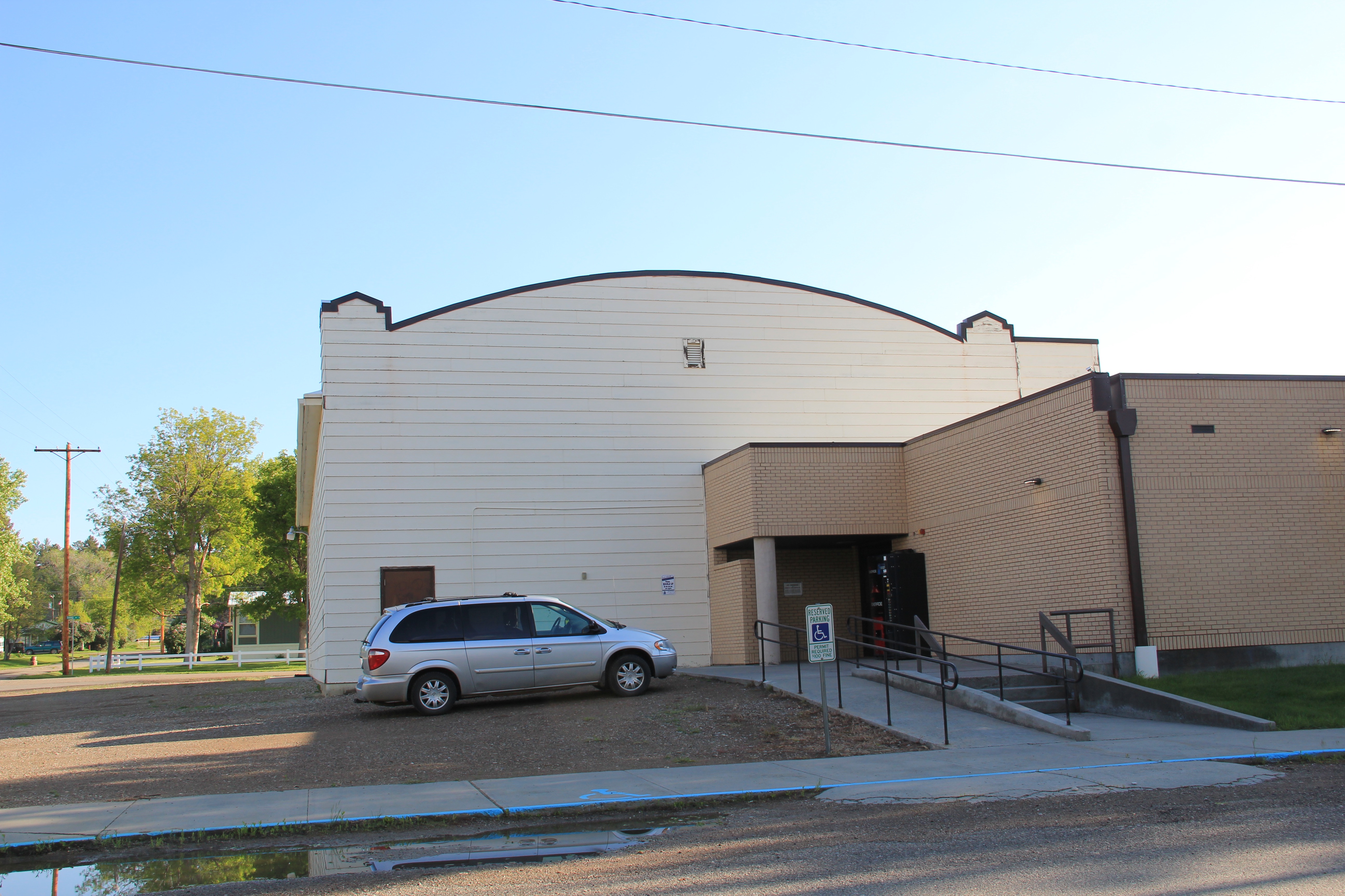
 Avon has another clearly National Register-worthy building in its 1941 community hall, a late New Deal era building, which has served the community in multiple ways, as a meeting place for the Avon Grange, a polling place, and a place for celebrations of all sorts, including stage presentations and bands.


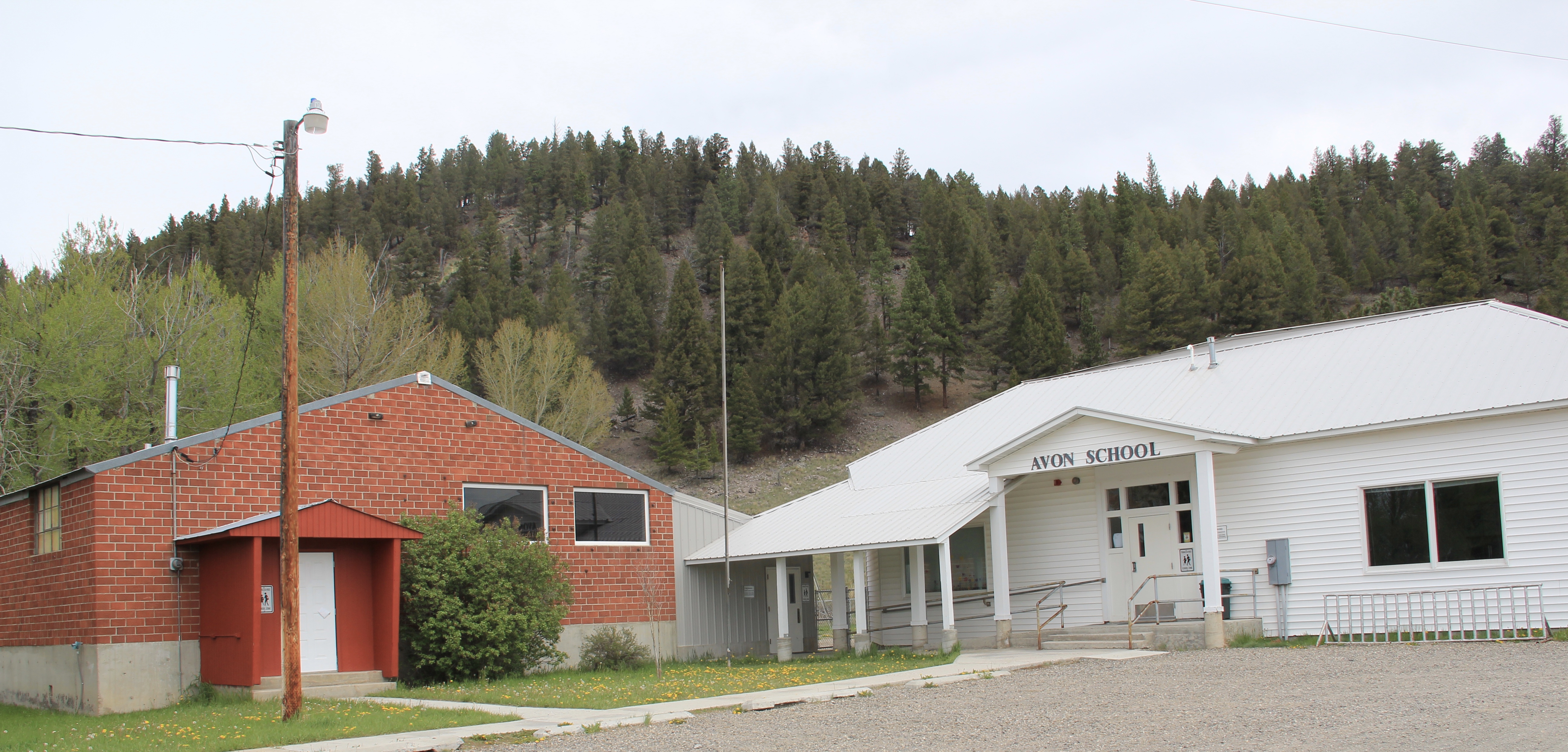
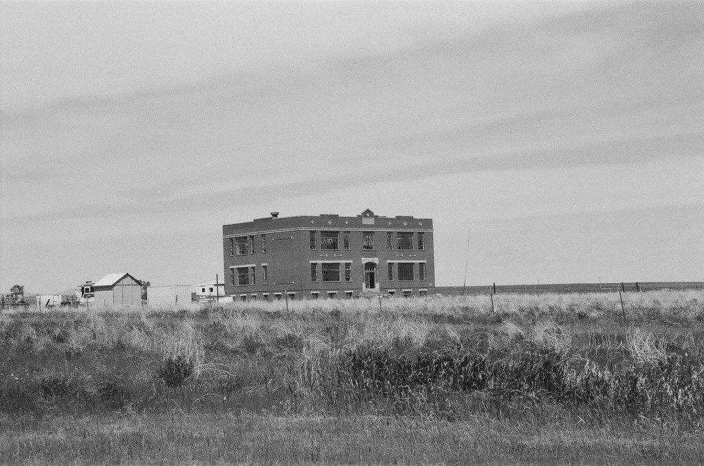
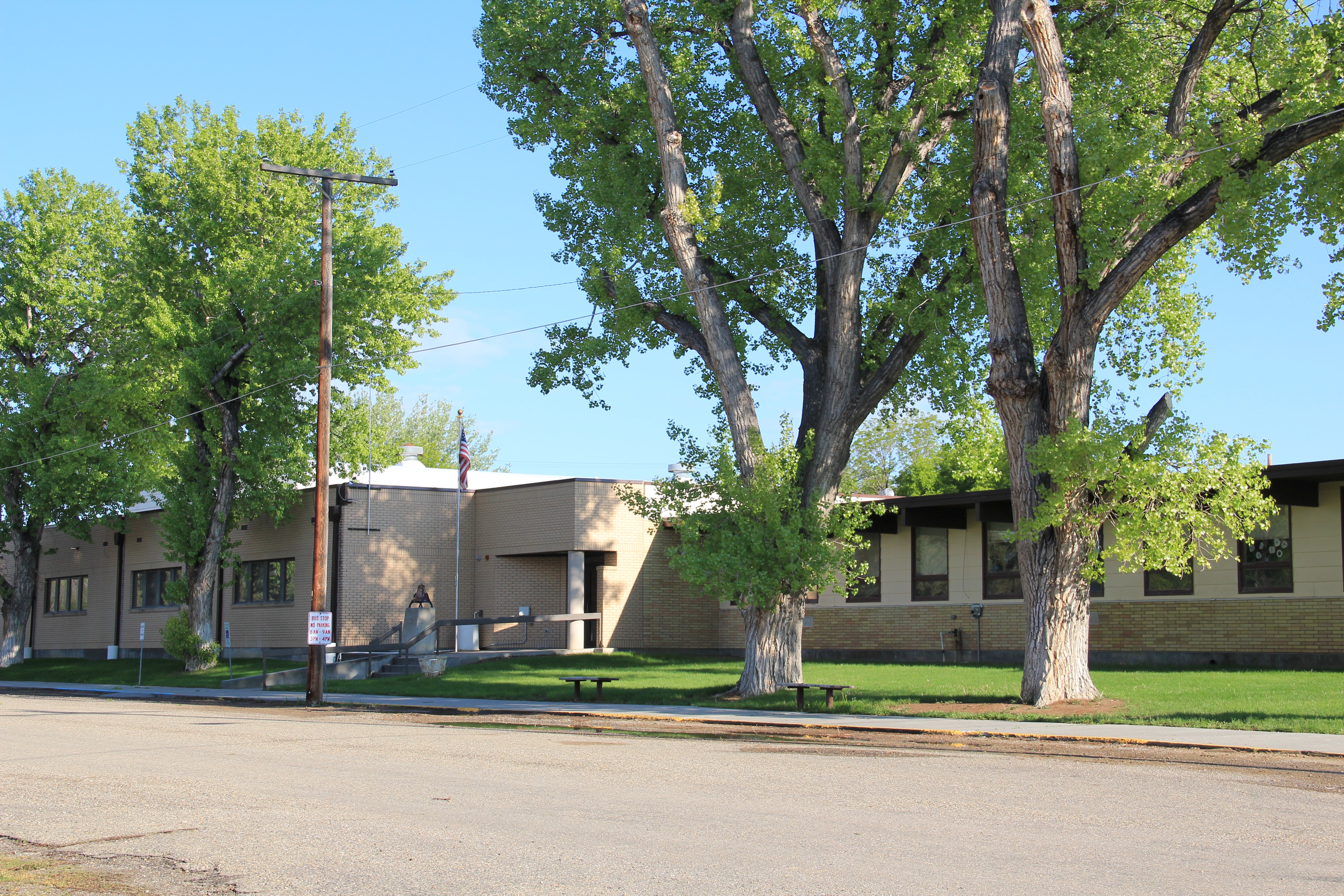
 The Avon School also has a New Deal era affiliation, with the Works Progress Administration. Although remodeled in the decades since, the school still conveys its early 20th century history.
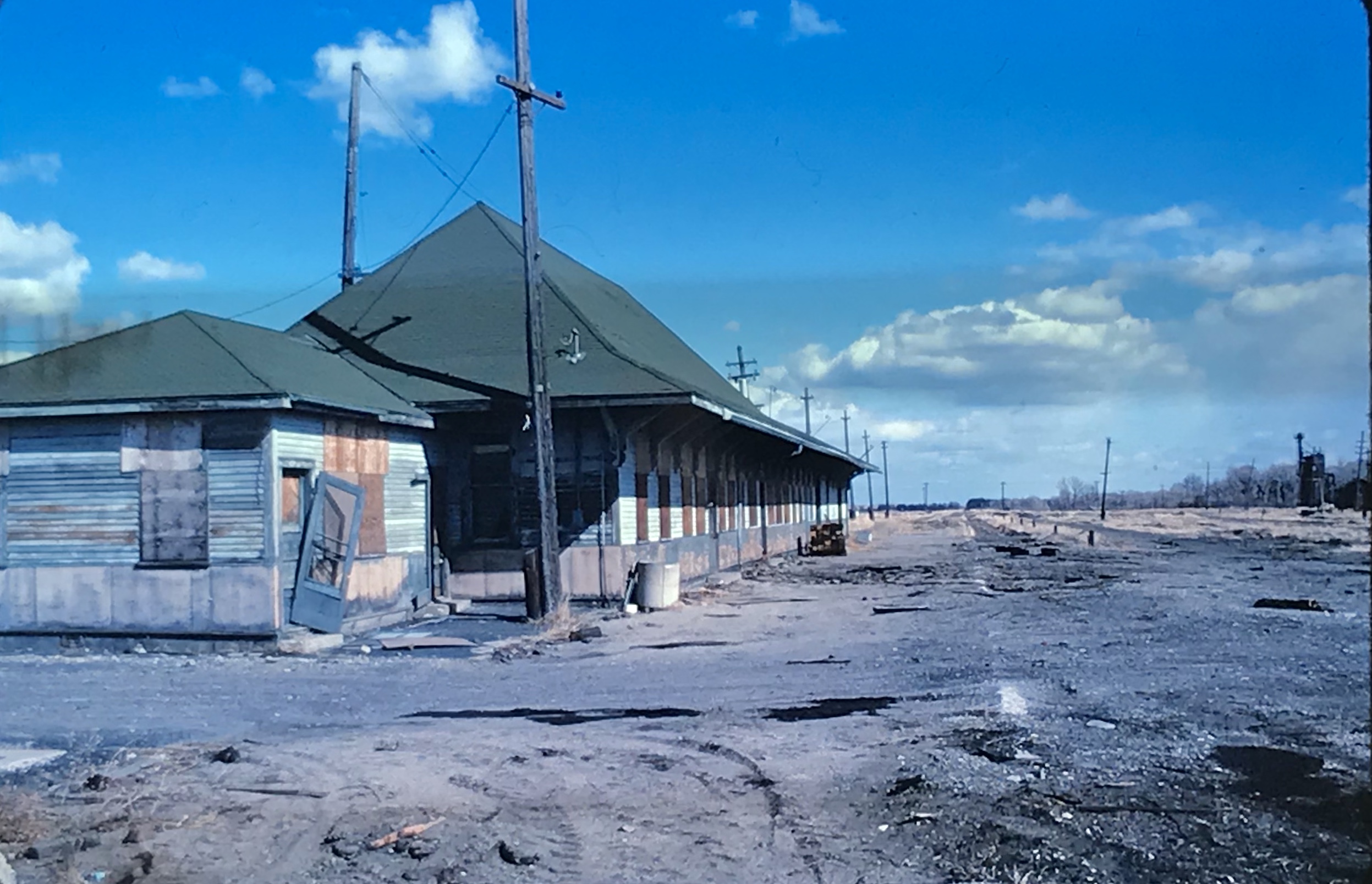
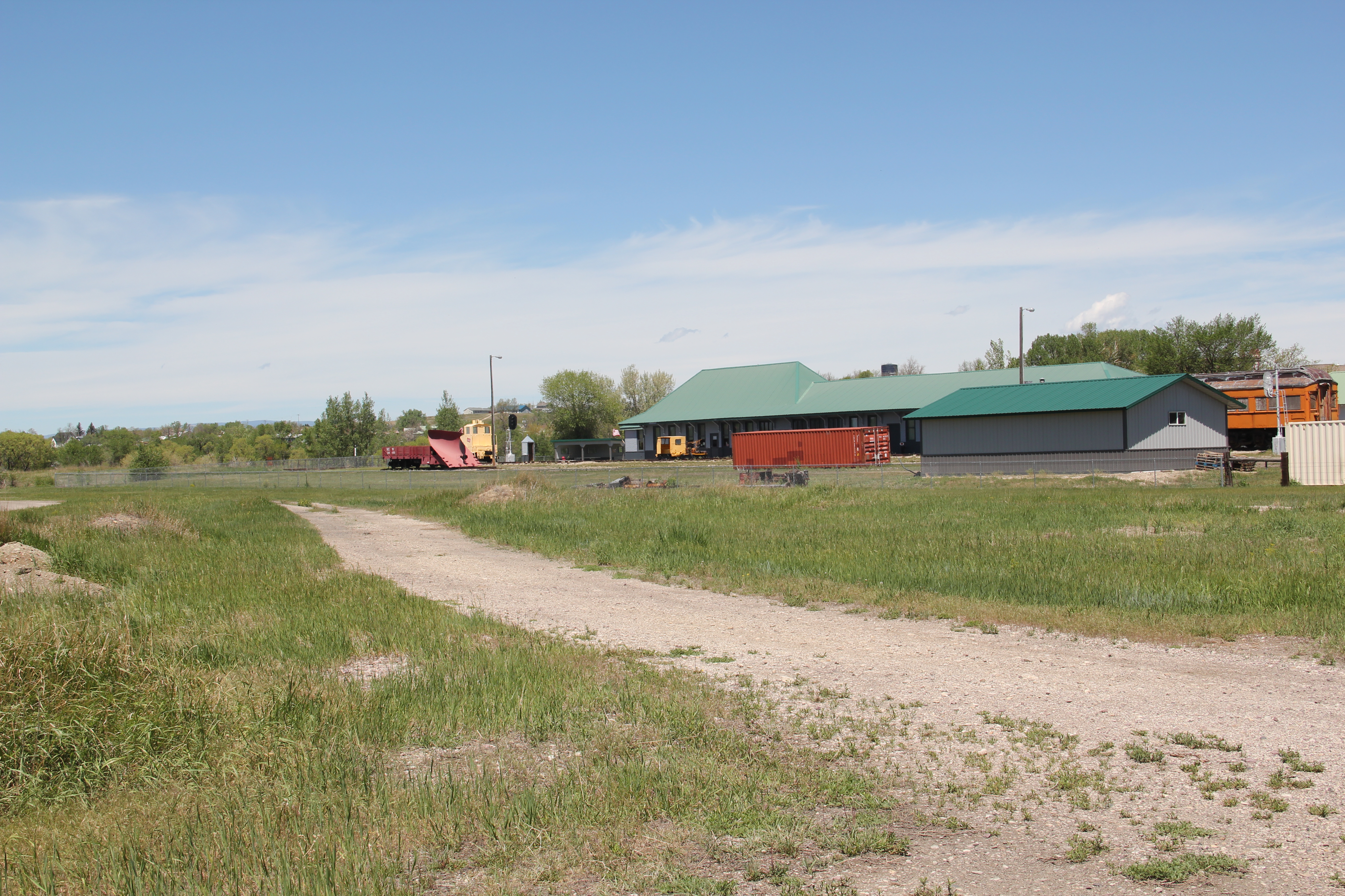
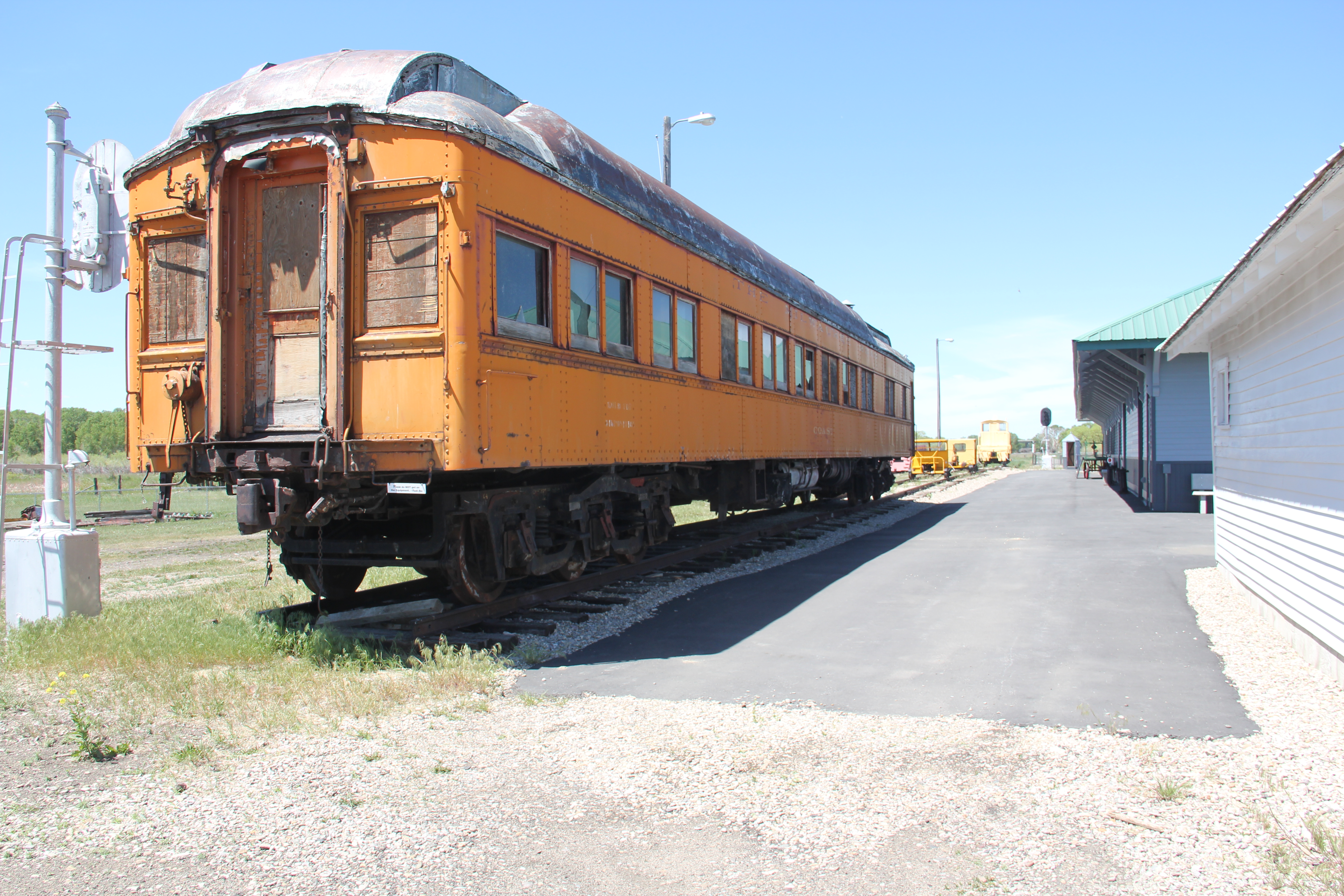
 Avon even has its early 20th century passenger station for the Northern Pacific Railroad, although it has been moved off the tracks and repurposed for new uses.
 In front of the depot is the turn of the 20th century St. Theodore’s Catholic Church. The historic Avon Community Church incorporates what appears to be a moved one-room school building as a wing to the original sanctuary.
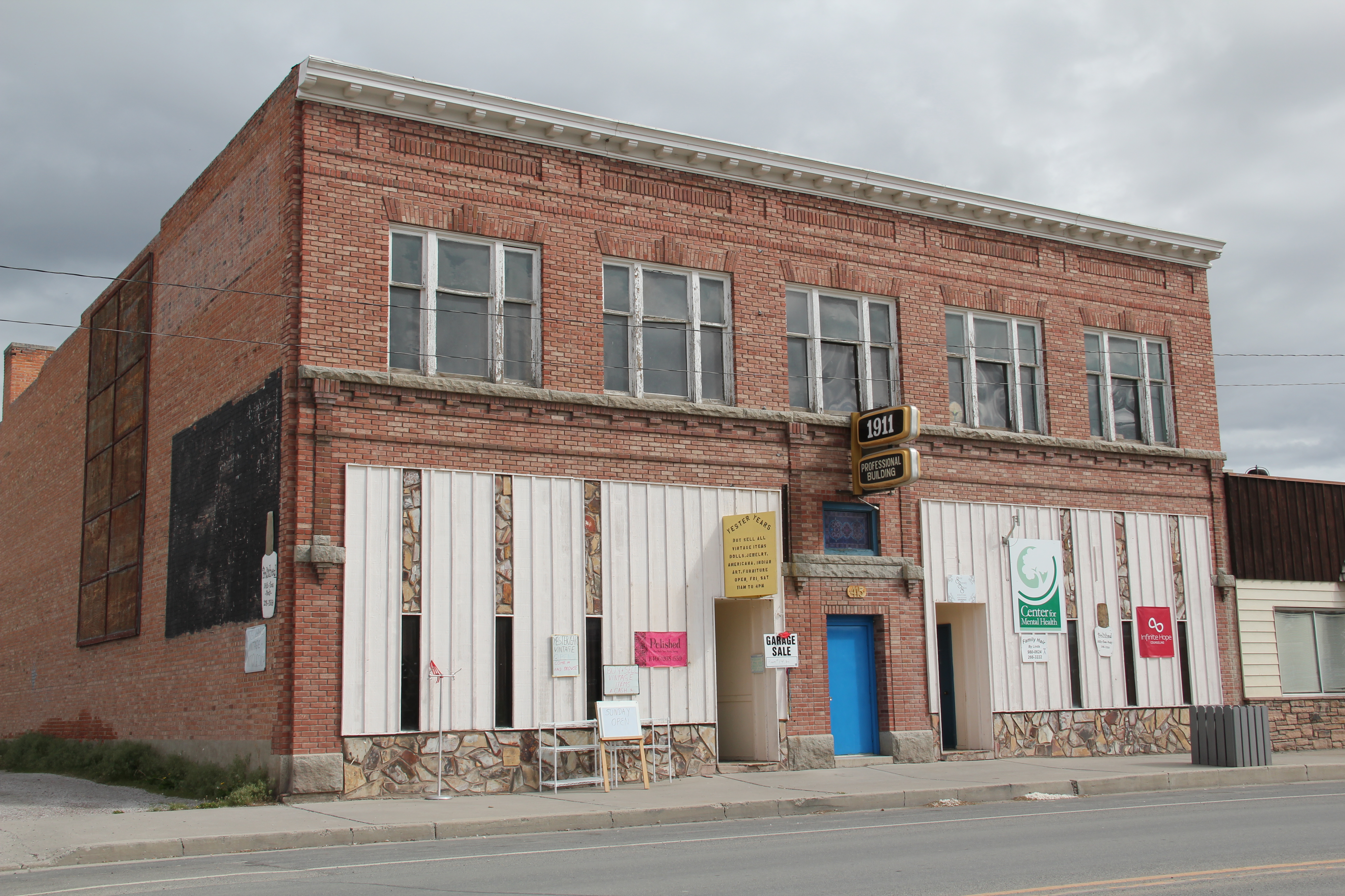
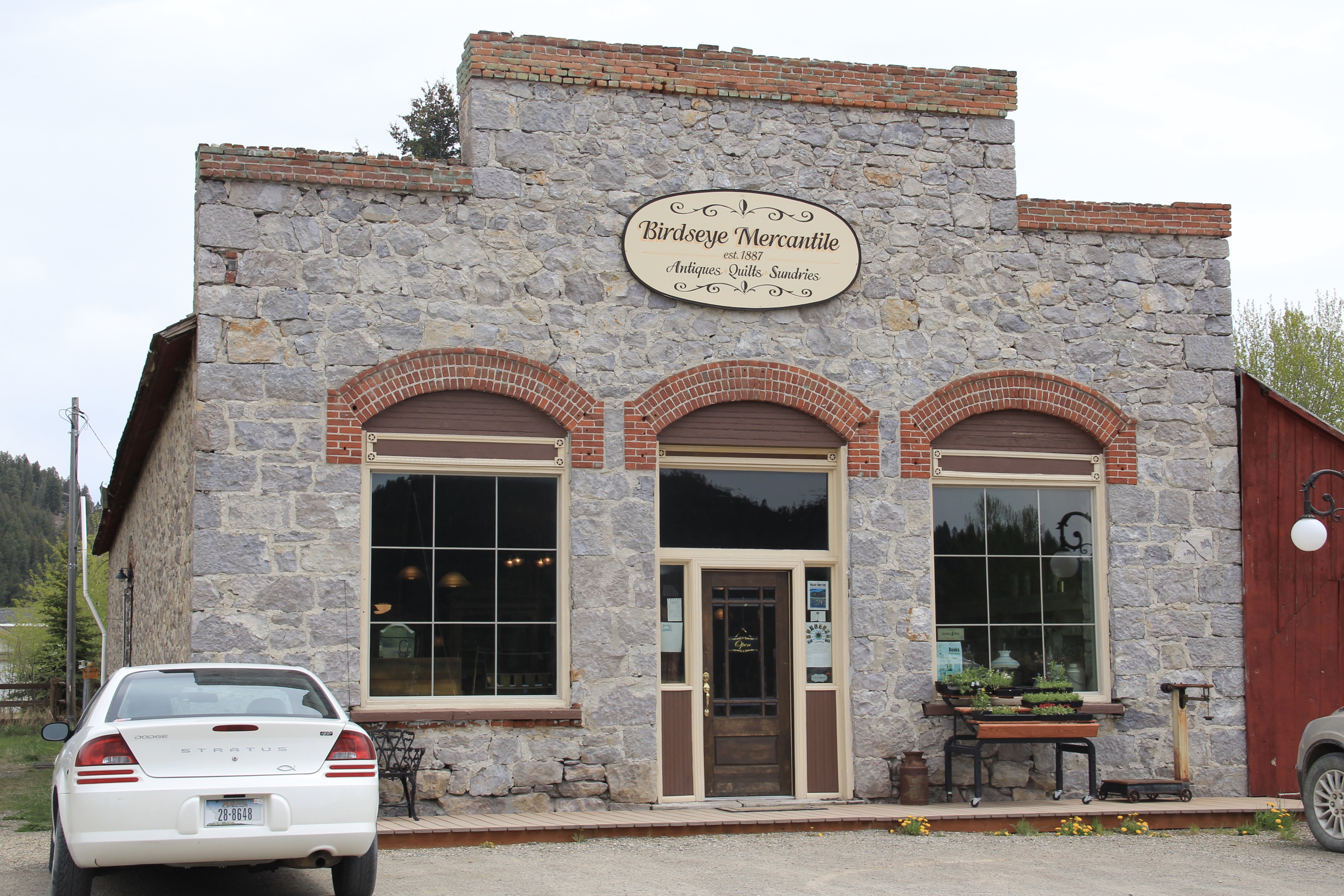
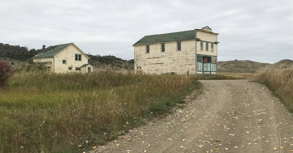
Early railroad era commercial buildings also remain in Avon, with a frame false front building serving both as a business and the community post office. Birdseye Mercantile is an architecturally impressive stone building, dated c. 1887, that has for a decade housed a quilt business. It too may be National Register worthy.
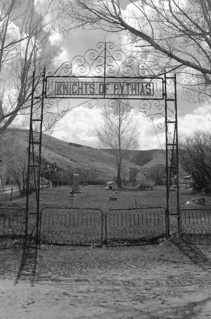
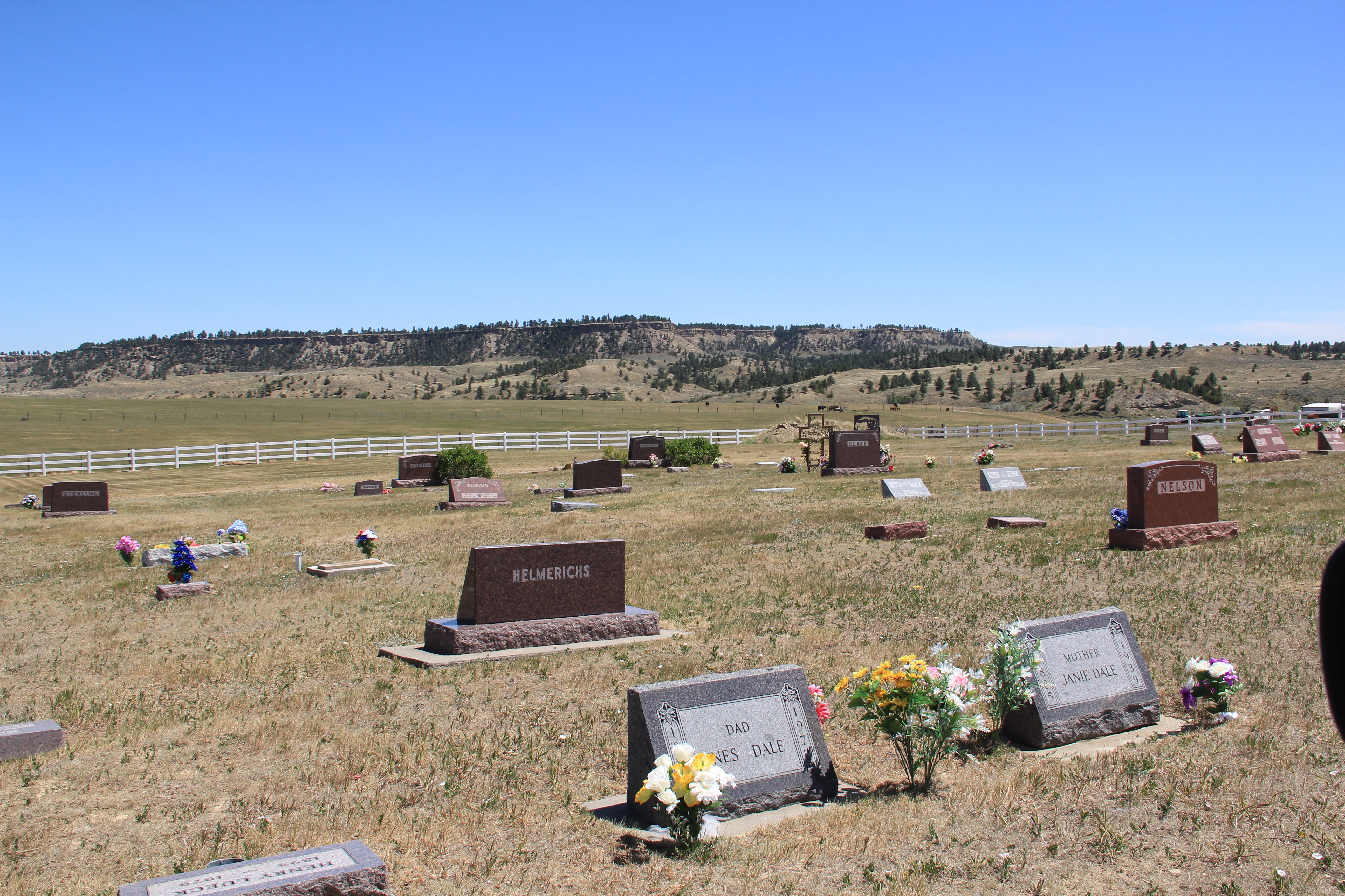
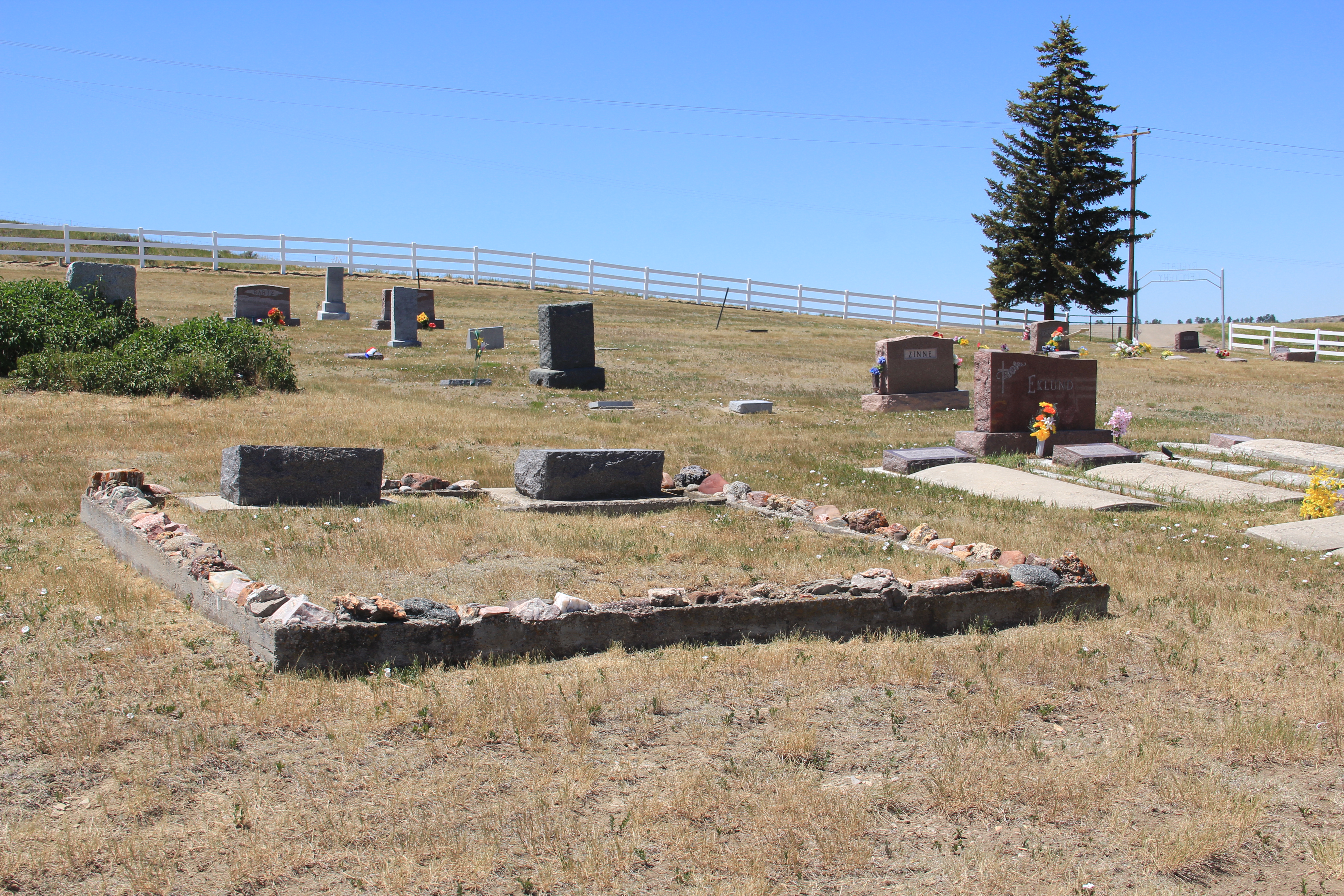
 Another important property in Avon, but one I ignored in 1984-85, is the town cemetery, which also helps to document the community’s long history from the 1880s to today.

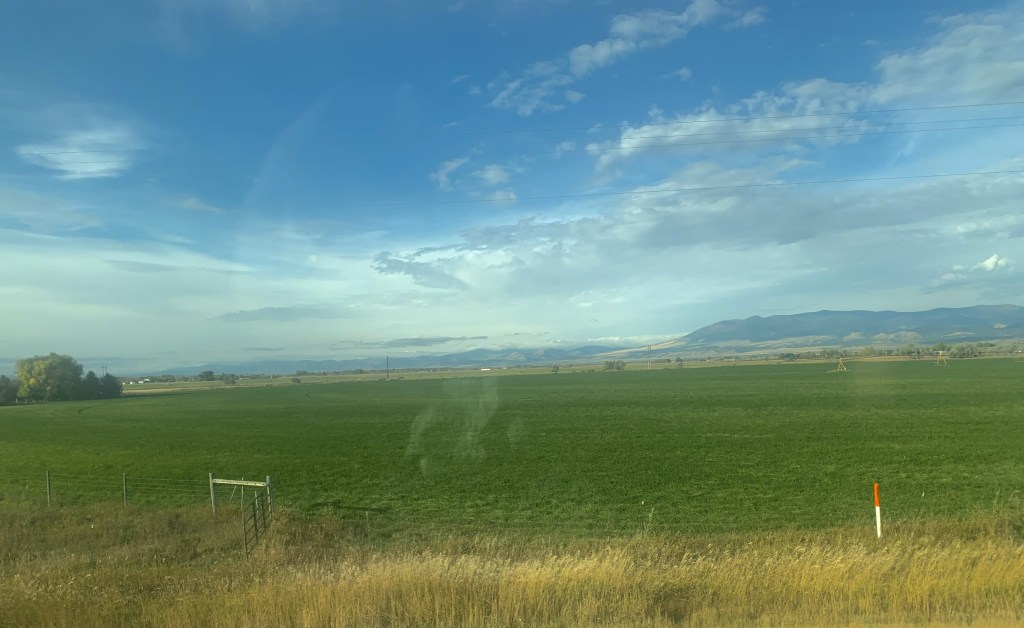
 Heading west from Avon on U.S. Highway 12 there are various places to stop and enjoy the river valley as it narrows as you approach Garrison. I always recalled this part fondly, for the beaverslide hay stackers–the first I encountered in Montana in 1981–and they are still there today, connecting the early livestock industry of the valley to the present.


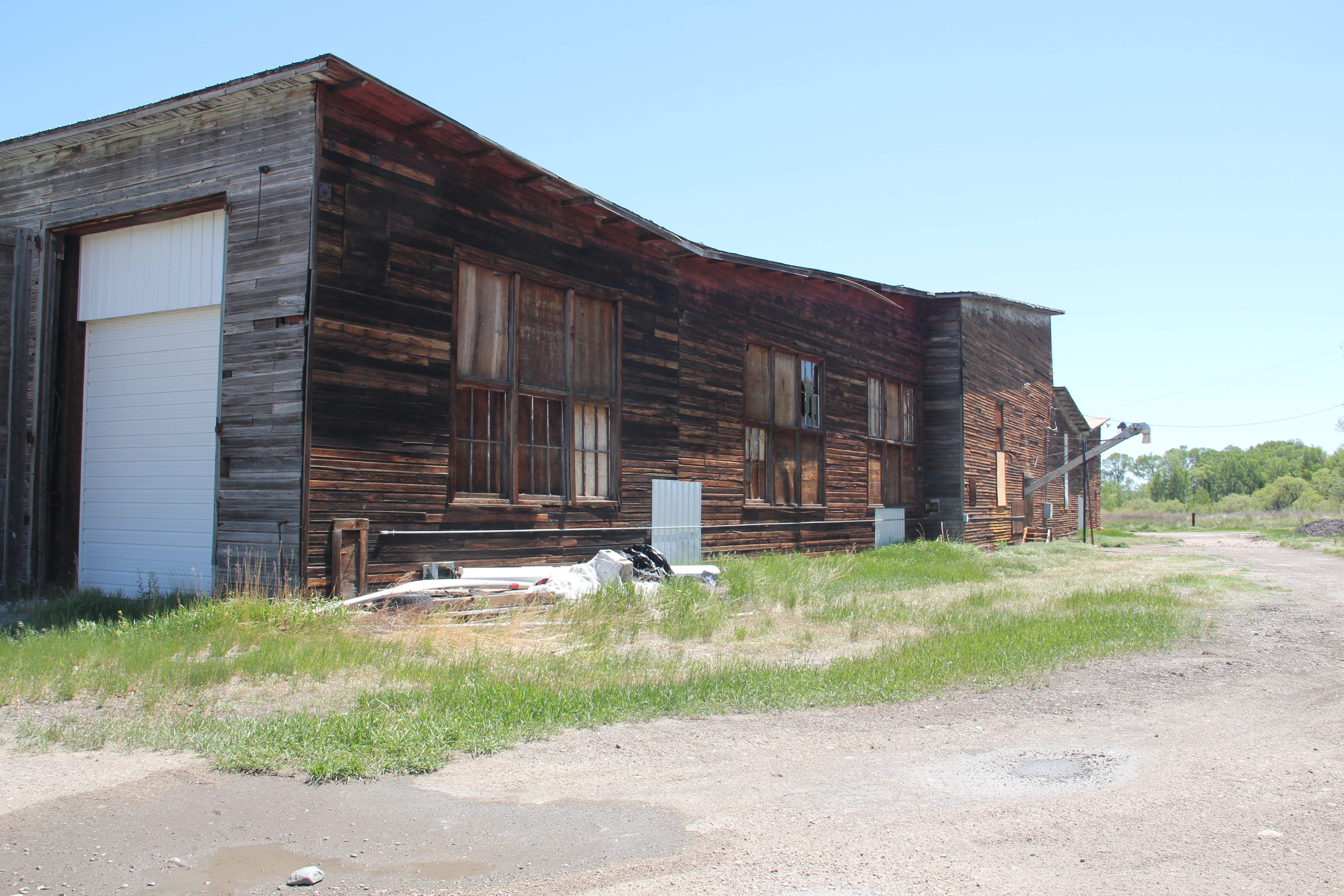


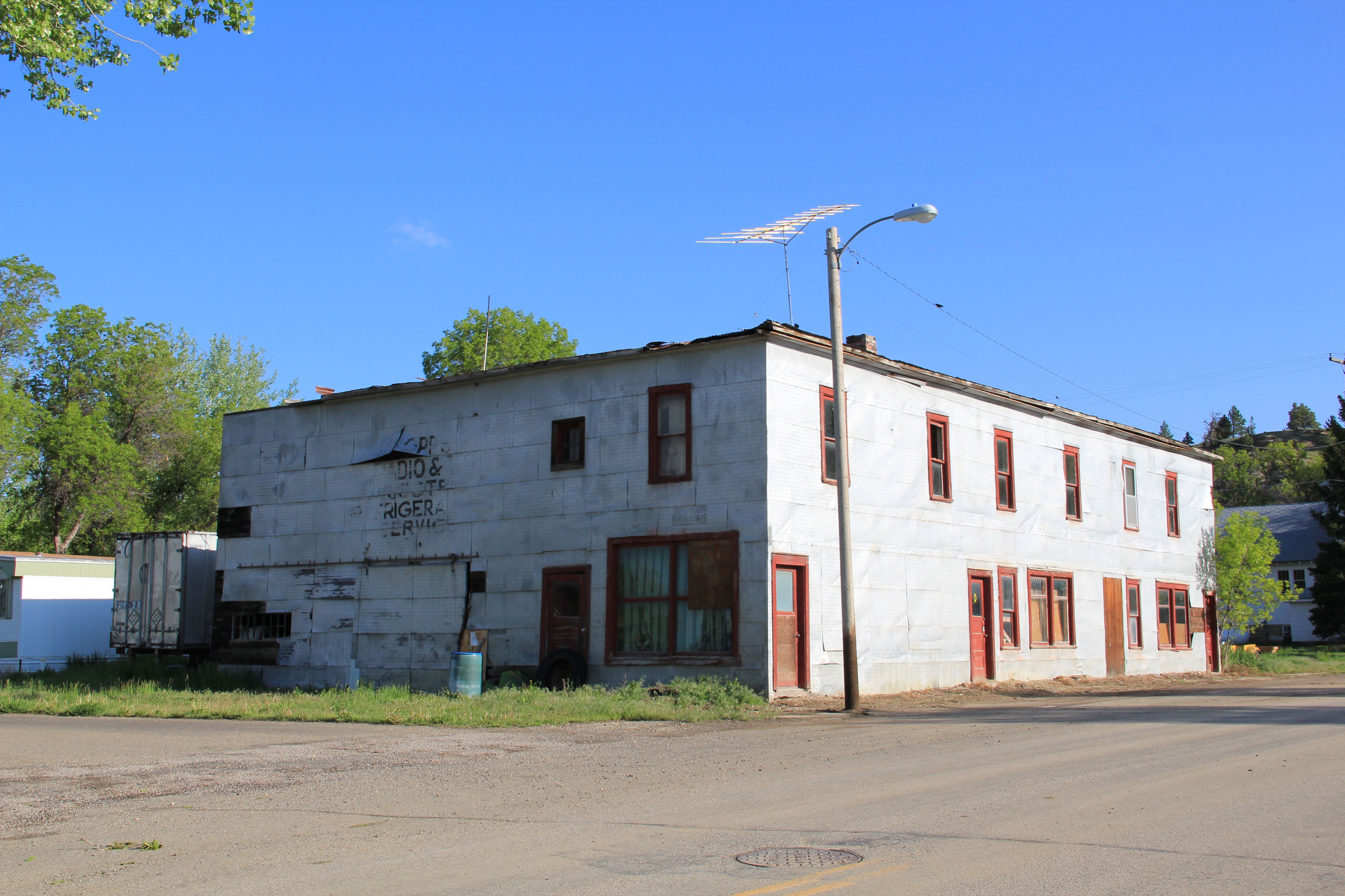
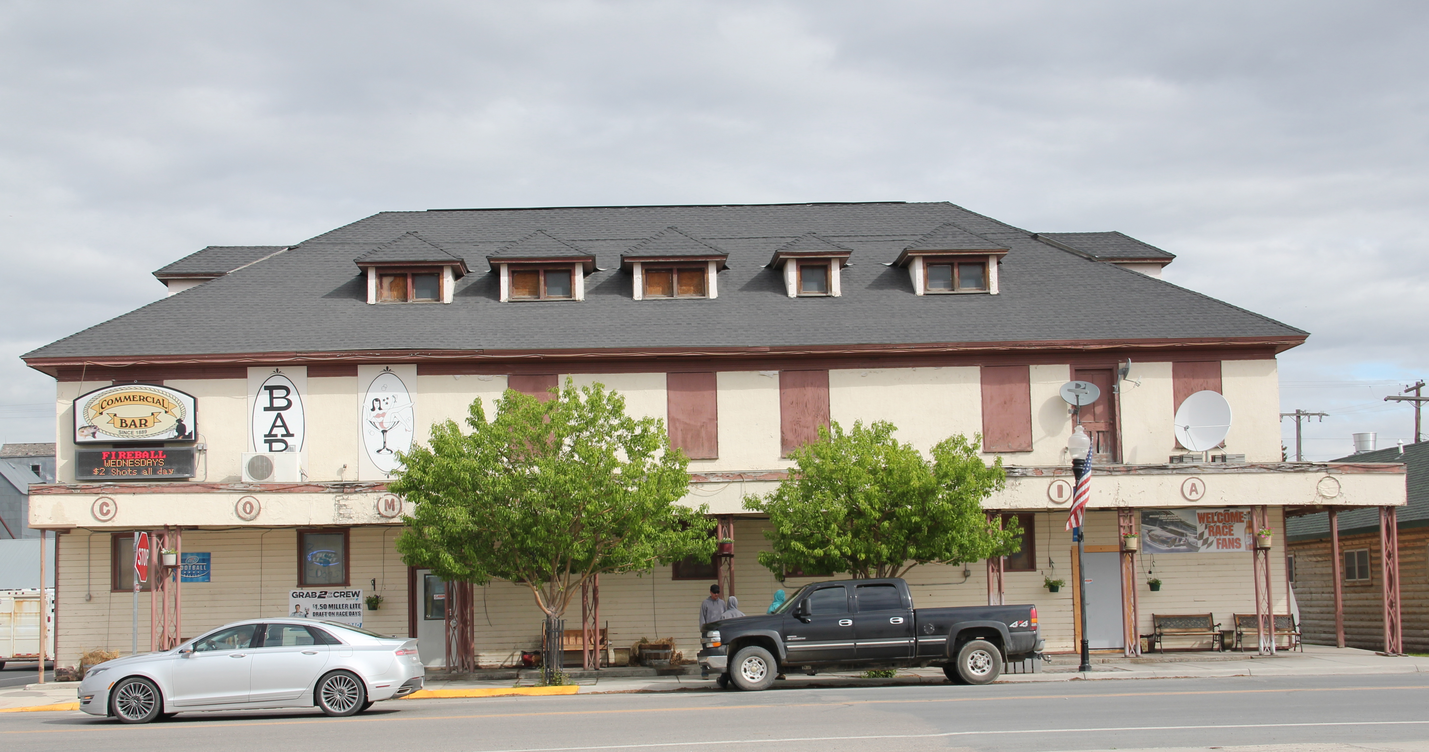
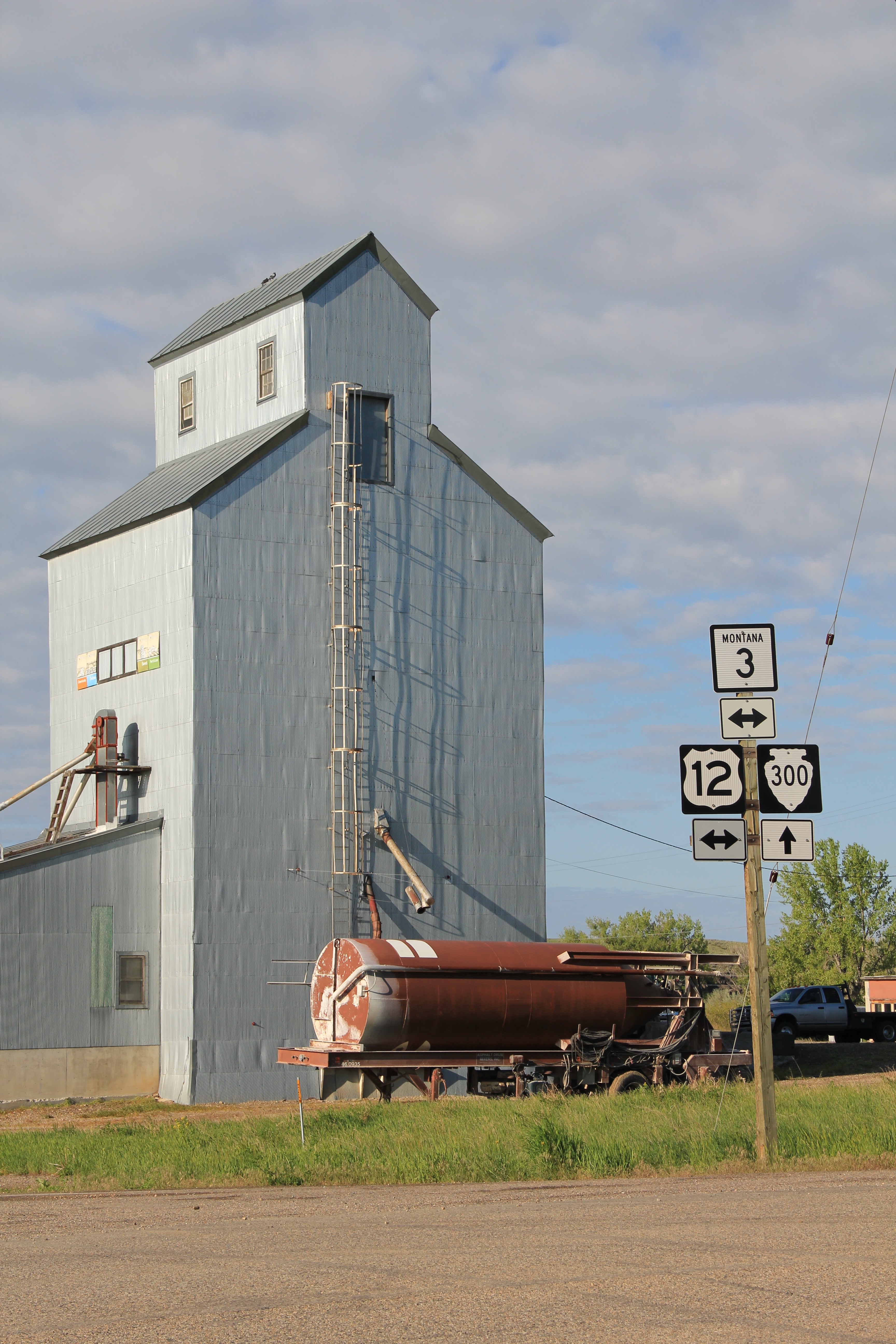 But like most travelers I roar down the highway, perhaps noting the tall grain elevators facing the town proper, and pay little attention to anything else. In a post of four years ago, I spoke of Golden Valley County and its historic landmarks, highlighting the grain elevators, the Golden Valley Courthouse, the Sims-Garfield historic ranch, and the historic town bar in Ryegate. But like the other eastern Montana county seats, Ryegate deserves a closer look.
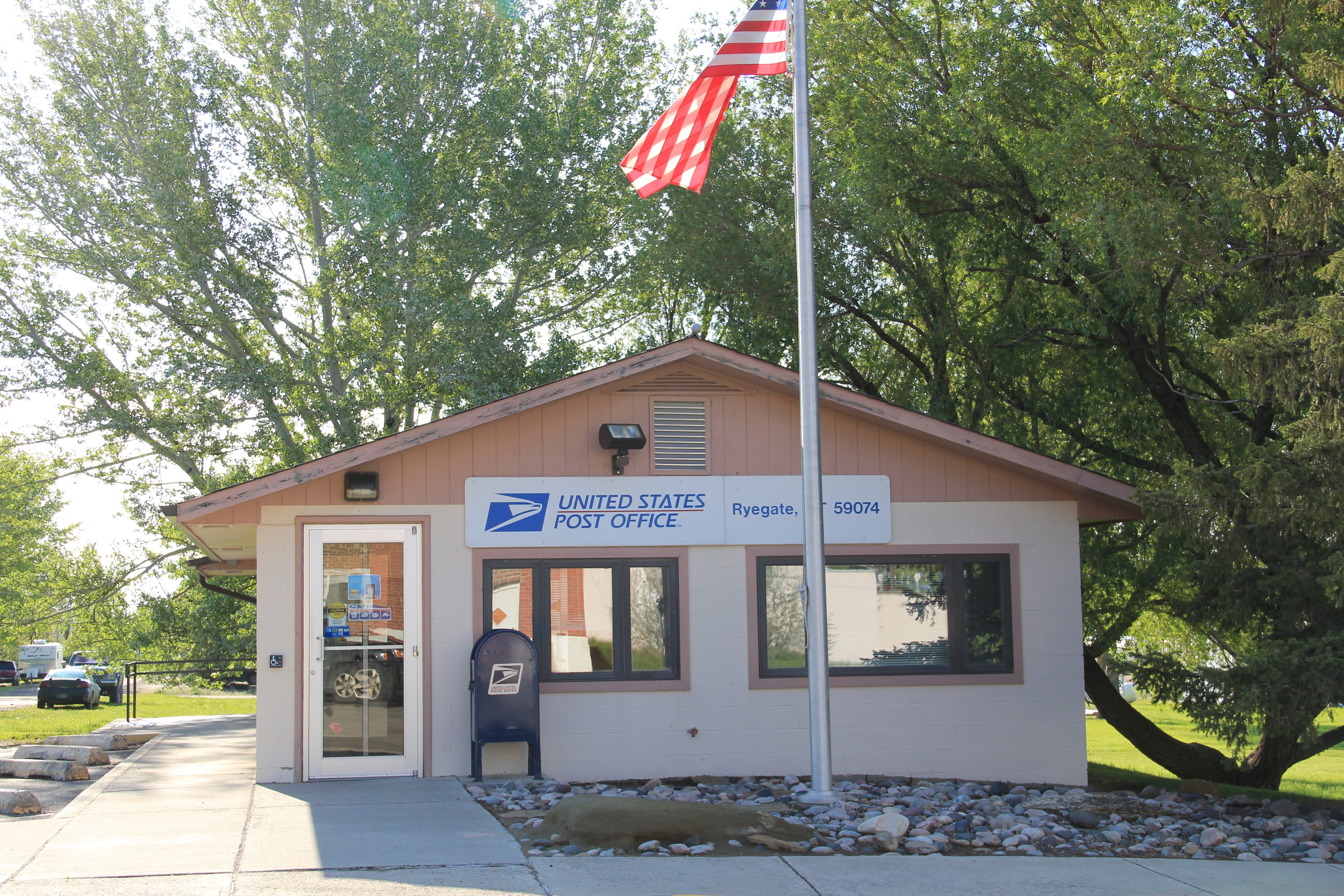
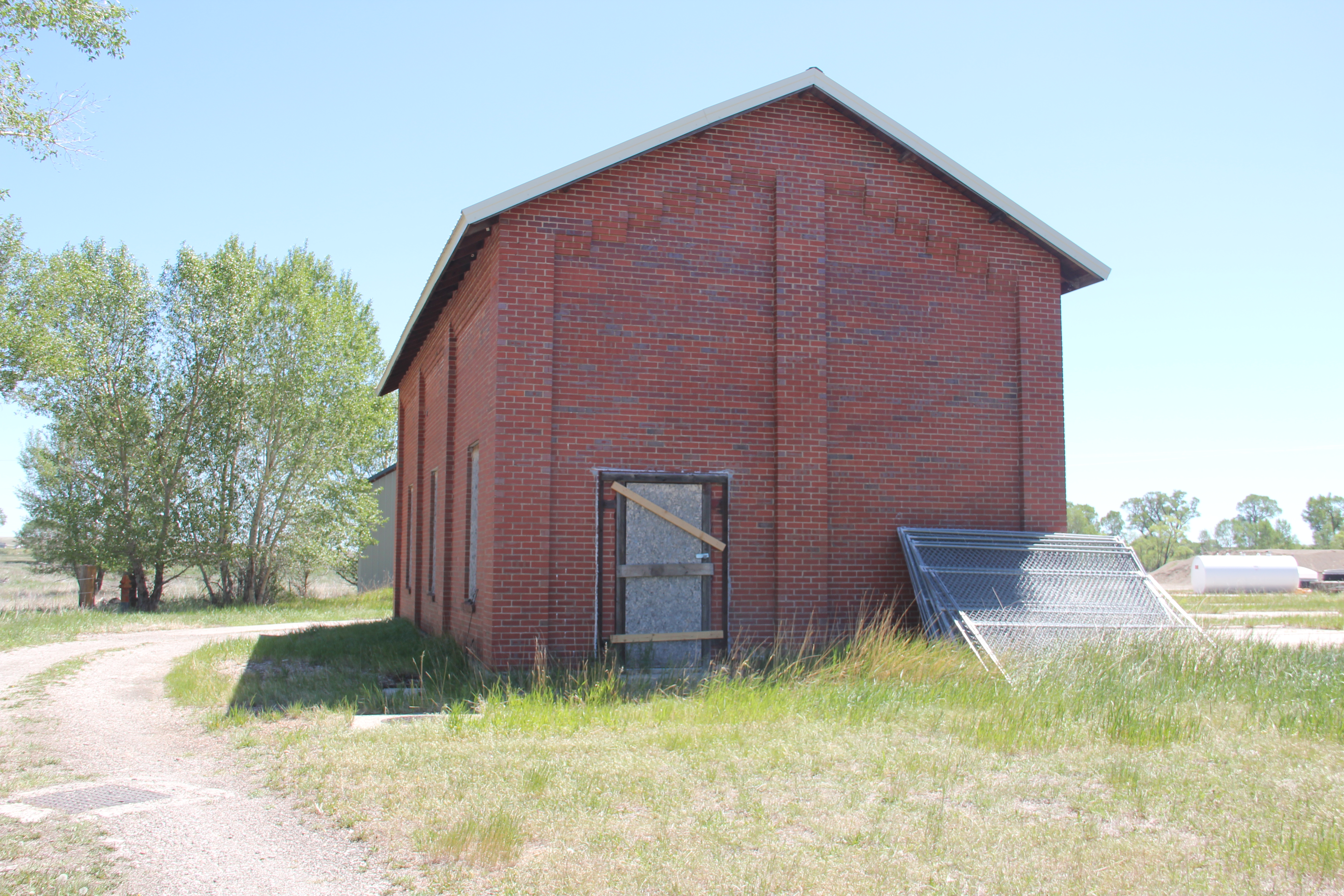
 Ryegate received one of the standardized “modern” post office designs from the federal government in the 1970s–the town’s fortunes have remained basically frozen after the Milwaukee Road declared bankruptcy and shut down the tracks in 1980.