Two Forts on the Bighorn

IMG_6010
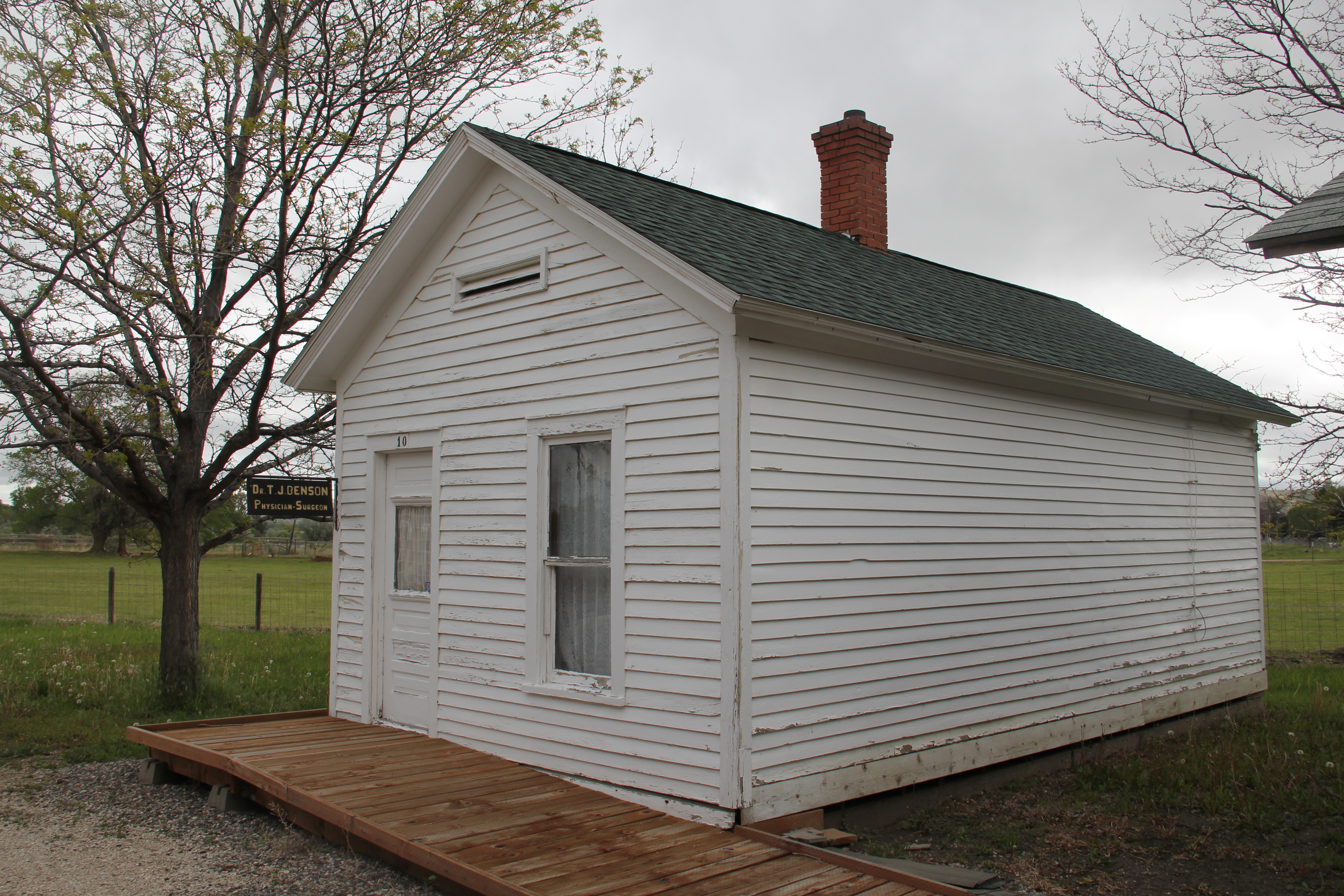
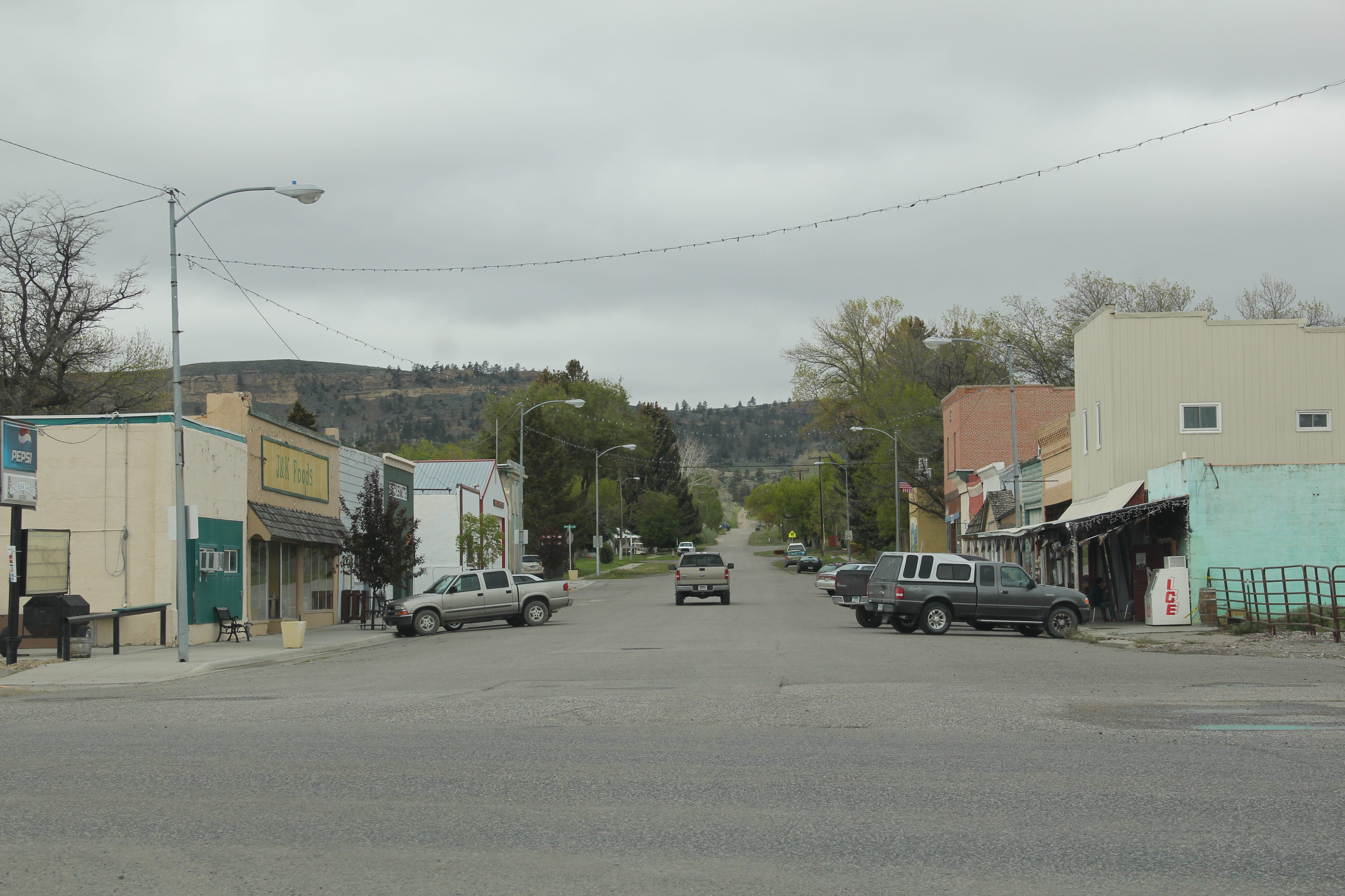
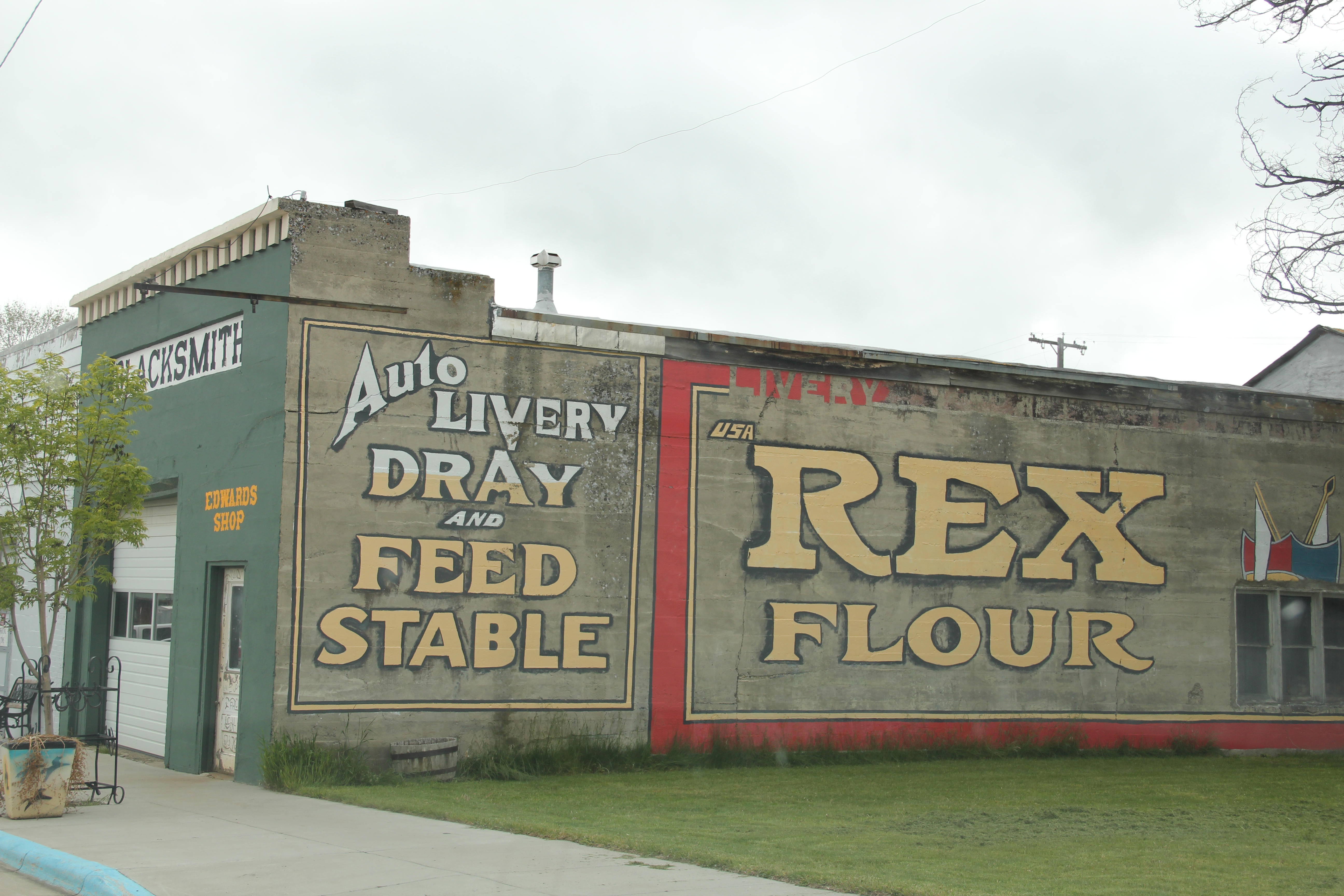
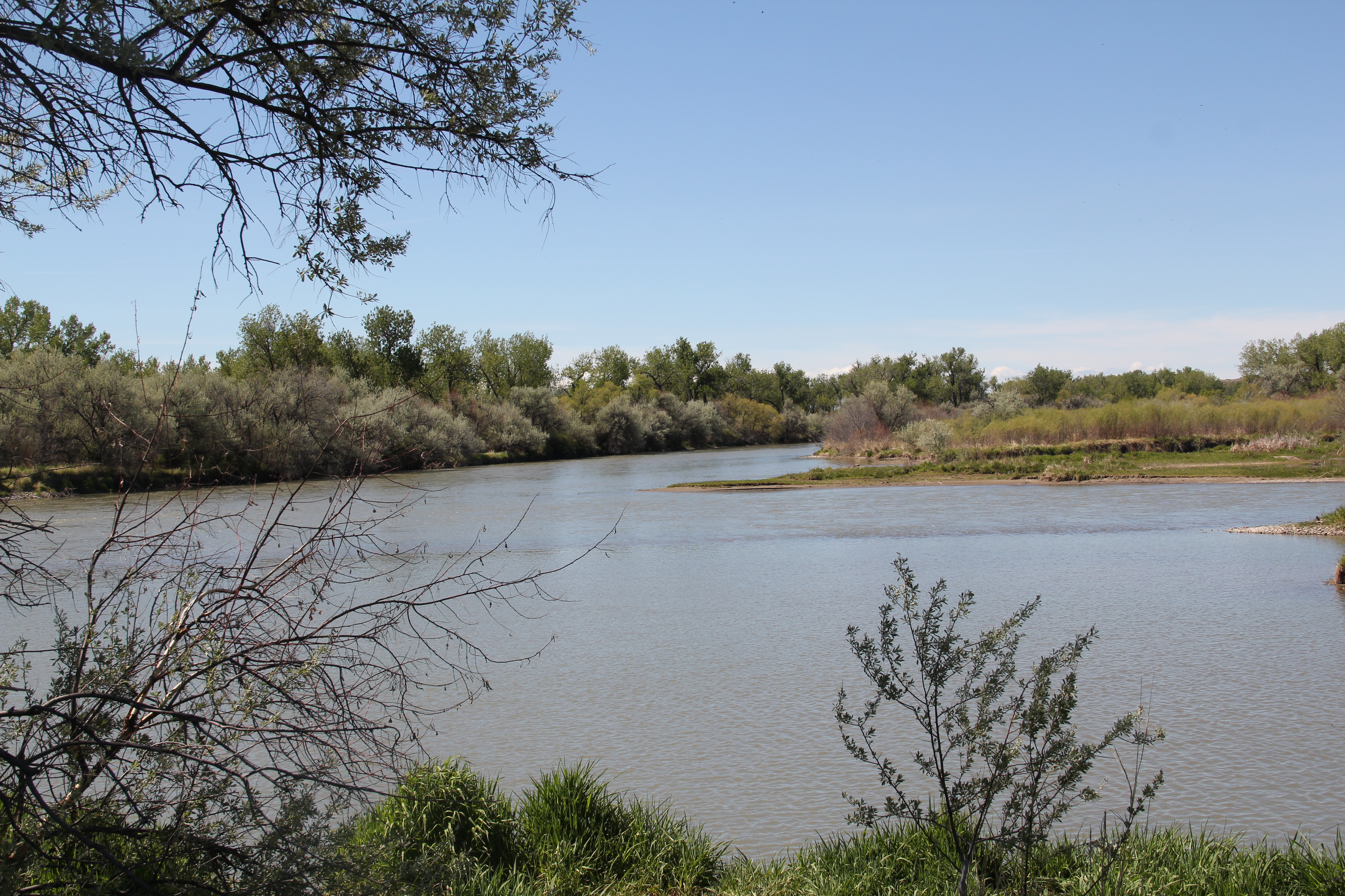
The Big Horn River is among Montana’s most famous as it winds its way out of the high mountains and empties into the Yellowstone River near the village of Custer.  In the southern end of Big Horn County are two forts, one barely noticeable today while the other speaks to the radically different history of the Big Horn over the last 50-plus years.

Fort smith map
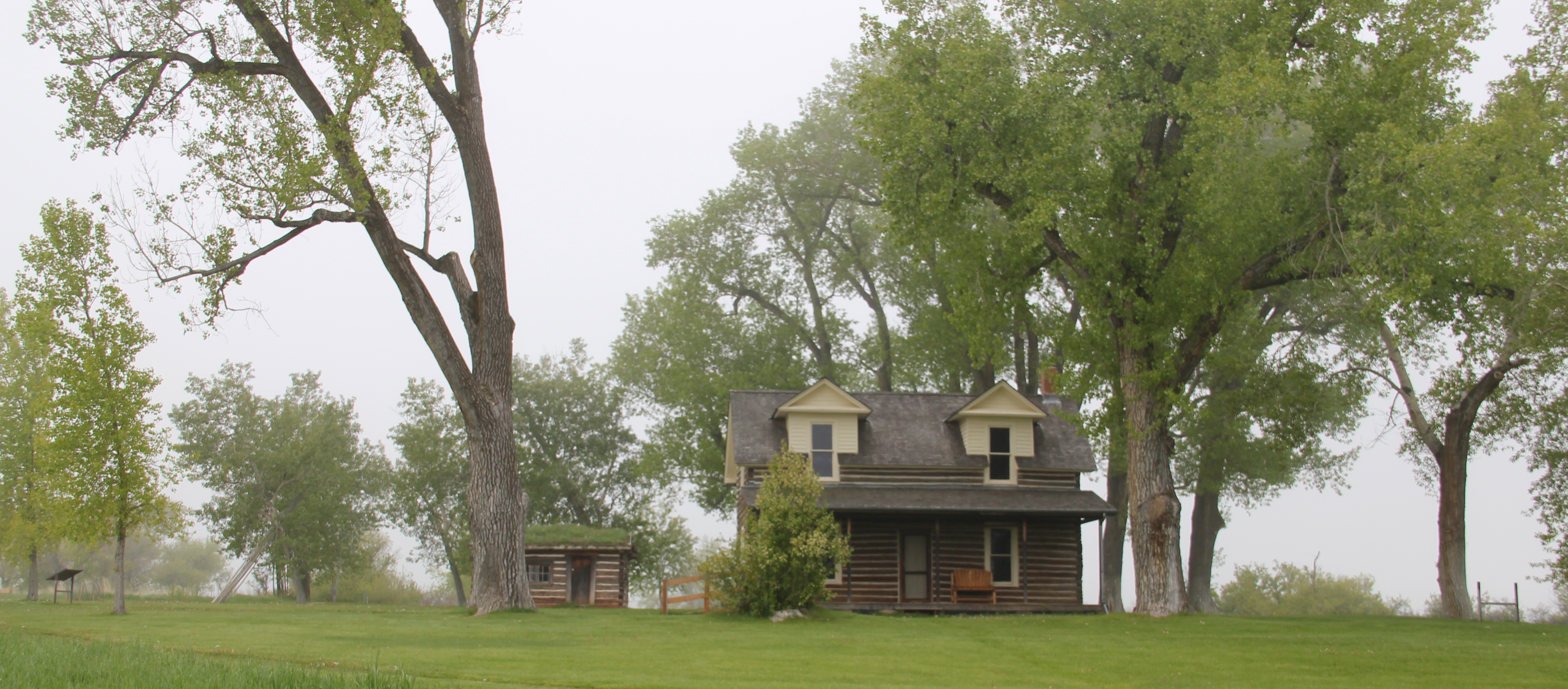
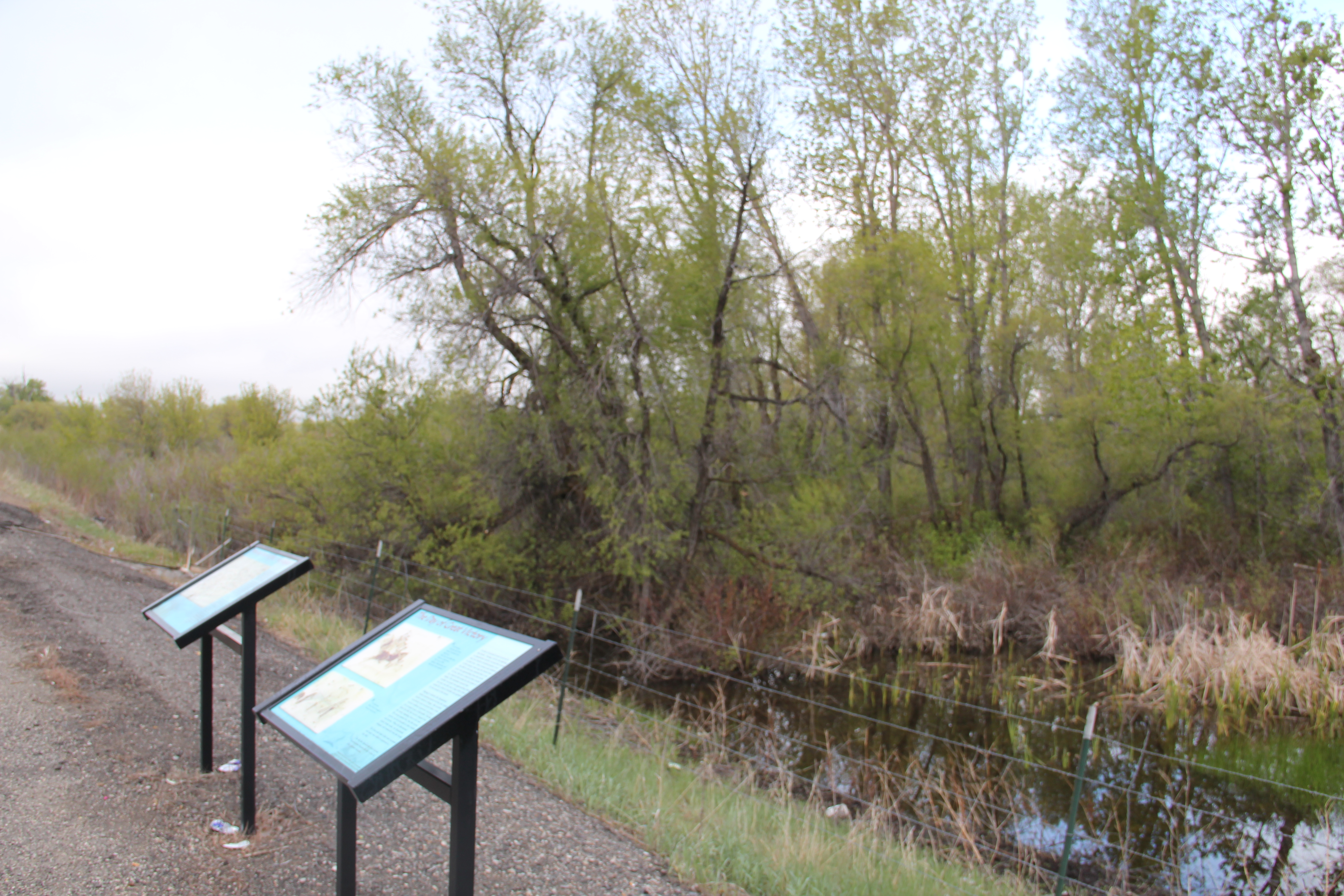
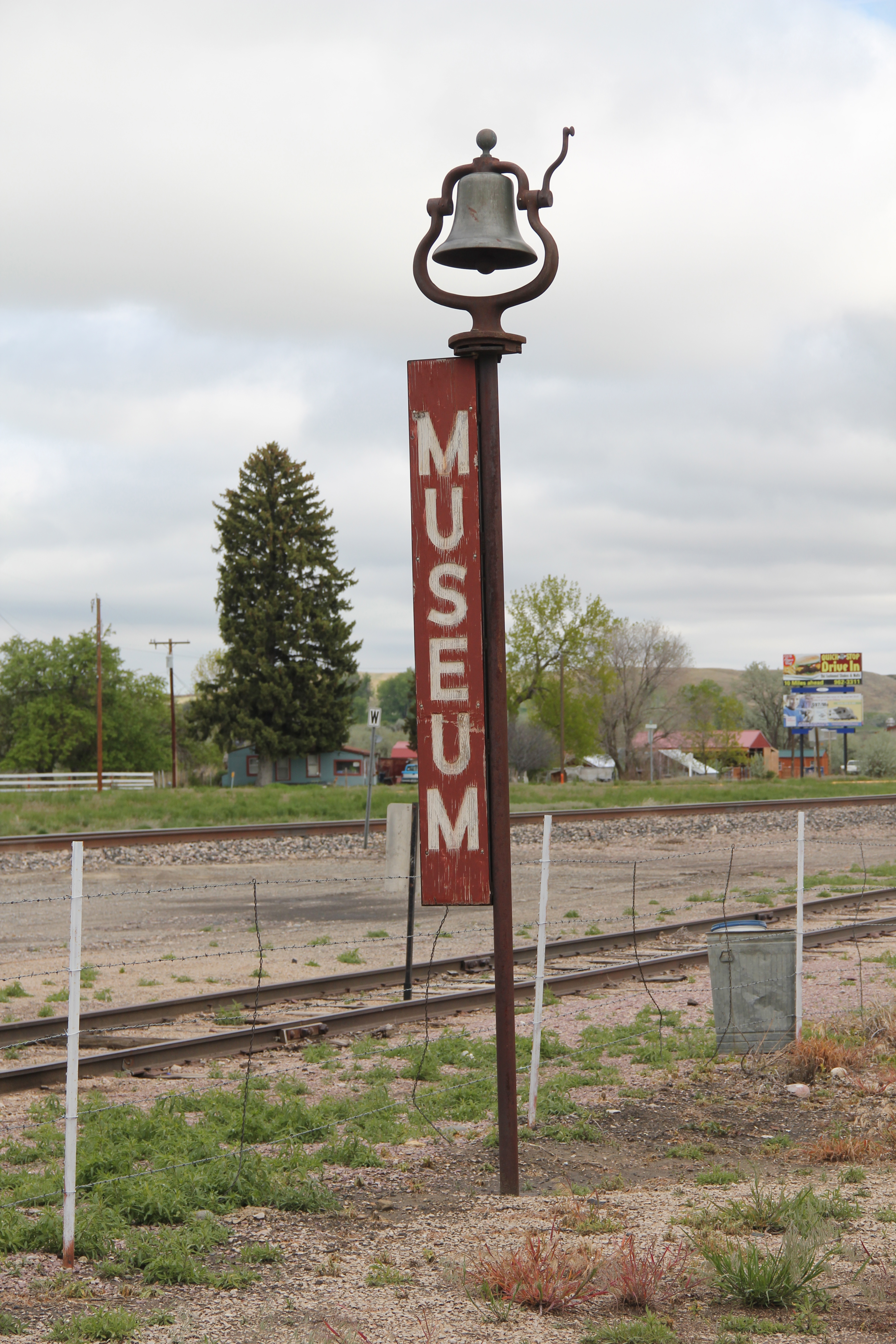
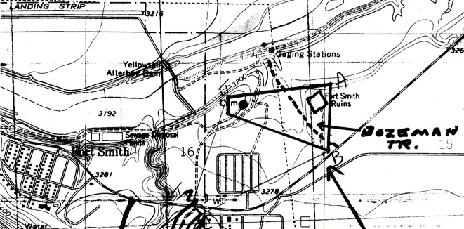
The oldest is Fort C. F. Smith, established by the U.S. Army in 1866-1868 as part of its system of defensive installations to protect travelers along the Bozeman Trail.  Named for Civil War general Charles Ferguson Smith, the post stood near the trail, as seen above, and also near a major Big Horn ferry, a location deemed almost 100 years later as perfect for a major federal dam and reservoir project.  A peace treaty between the federal government and Sioux and Cheyenne Indians who had opposed the trail and the forts led to the abode constructed fort’s abandonment in 1868.  Today, the site is marked–the Big Horn County chapter of the Federation of Montana Woman’s Clubs did so in 1933–but on private property.    It has become a forgotten place within the state’s historic landscape.

Fort_CF_Smith_Marker

Photograph courtesy of the National Park Service and its website on the Big Horn Canyon National Recreation Area.

The second Fort Smith is the name given to the government-planned town developed by the Bureau of Reclamation as part of its Yellowtail Dam project of the early 1960s.  The project was part of the massive federal reordering of the plains landscape through the Pick-Sloan Missouri River Basin Program, an attempt to coordinate efforts between the Bureau of Reclamation and the Army Corps of Engineers.  The Yellowtail Dam project received Congressional funding in 1961.  The contractors included Morrison-Knudsen Company from Boise; Kaiser Company from Oakland, CA; Perini Corporation from Massachusetts, the Walsh Construction Company of Iowa, and the S Contracting Company from Butte.  The contractors received almost $40 million for the project.

IMG_5985Built from 1961 to 1966, Yellowtail Dam, named for Crow Indian Robert Yellowtail and standing at 525 feet in height, instantly dominated the surrounding landscape and turned the Big Horn Canyon into a huge lake some 72 miles along, that is managed as the Big Horn Canyon National Recreation Area.

IMG_5983

Access to the dam and its power plant was significantly curtailed after 9/11/2001.

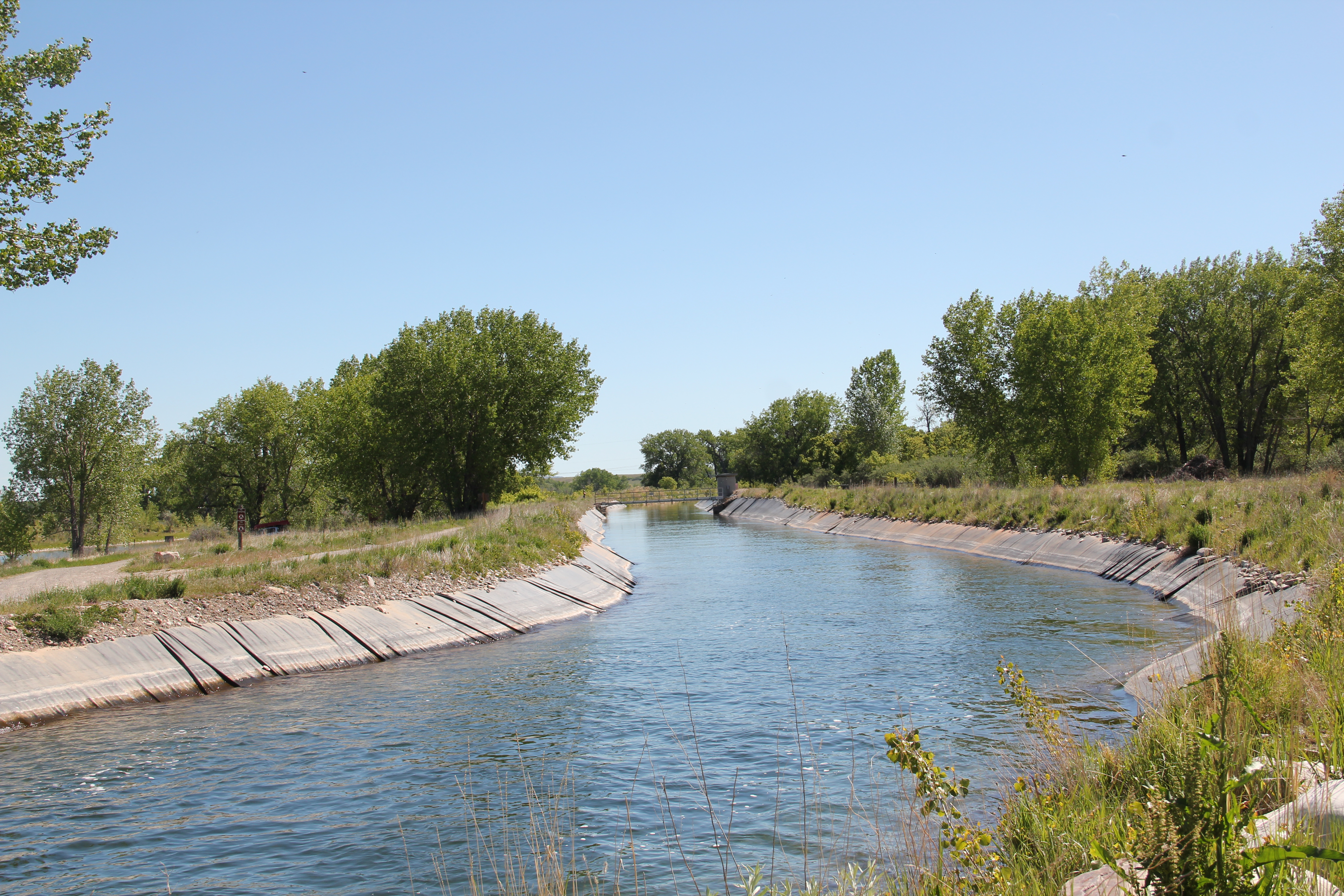
The dam was part of an entirely new engineered landscape that defined this part of Big Horn Canyon and the Crow Indian reservation, with new ditches, the spillway, and a planned town for government employees.

IMG_5998

IMG_5997
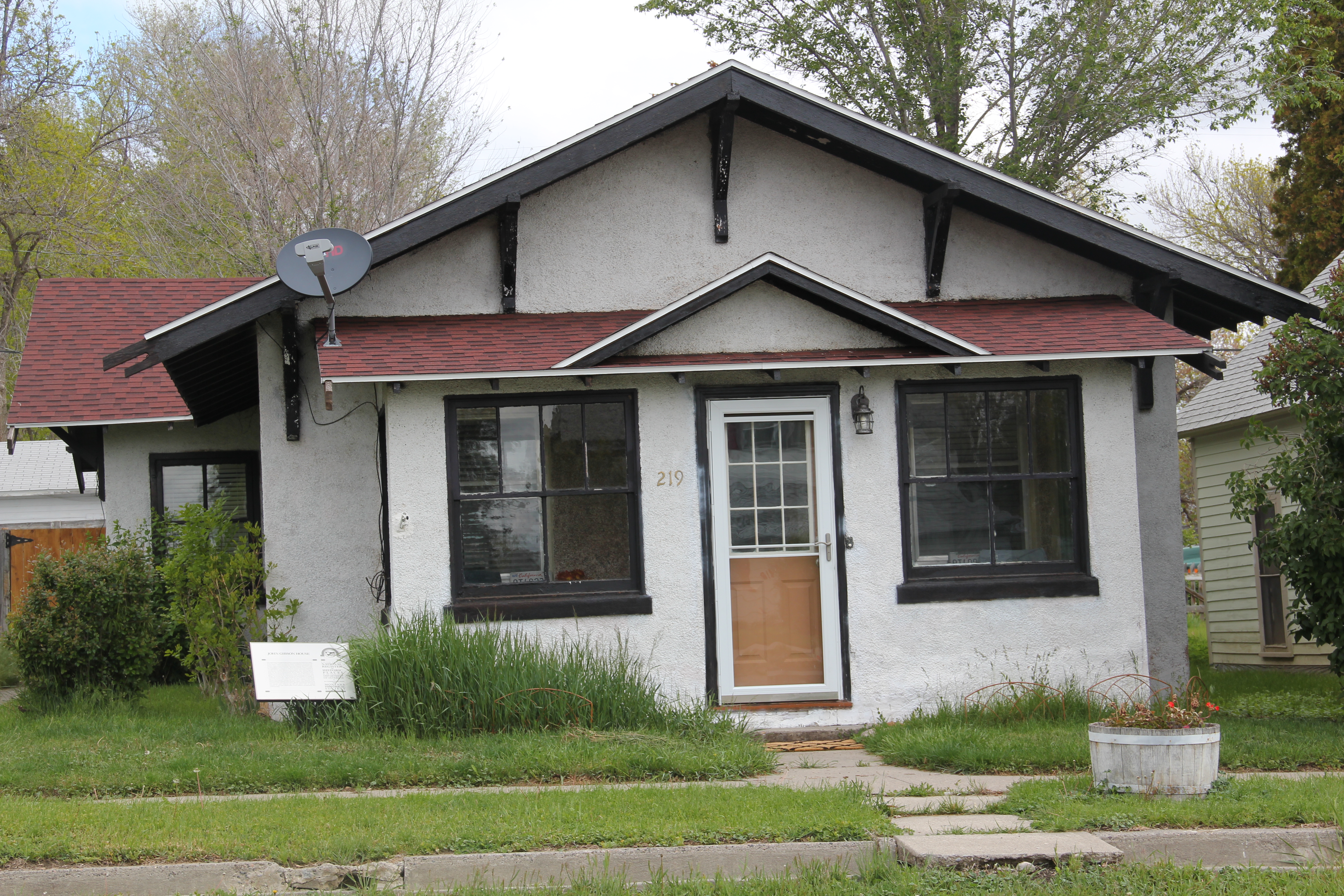
The town of Fort Smith was an obvious nod to the earlier army installation.  But this was not a rectangle of adobe quarters; it was a typical 1960s suburban development dropped into the middle of the Crow Reservation.  The streets are wide and circular, a concession to suburban models of planning but also taking advantage of the surrounding landscape.IMG_5980

In keeping with other suburbs of the early 1960s, the houses mixed “contemporary” styles such as split-levels and the long, horizontal Ranch house.  There were set-aside open

IMG_5972

IMG_5979

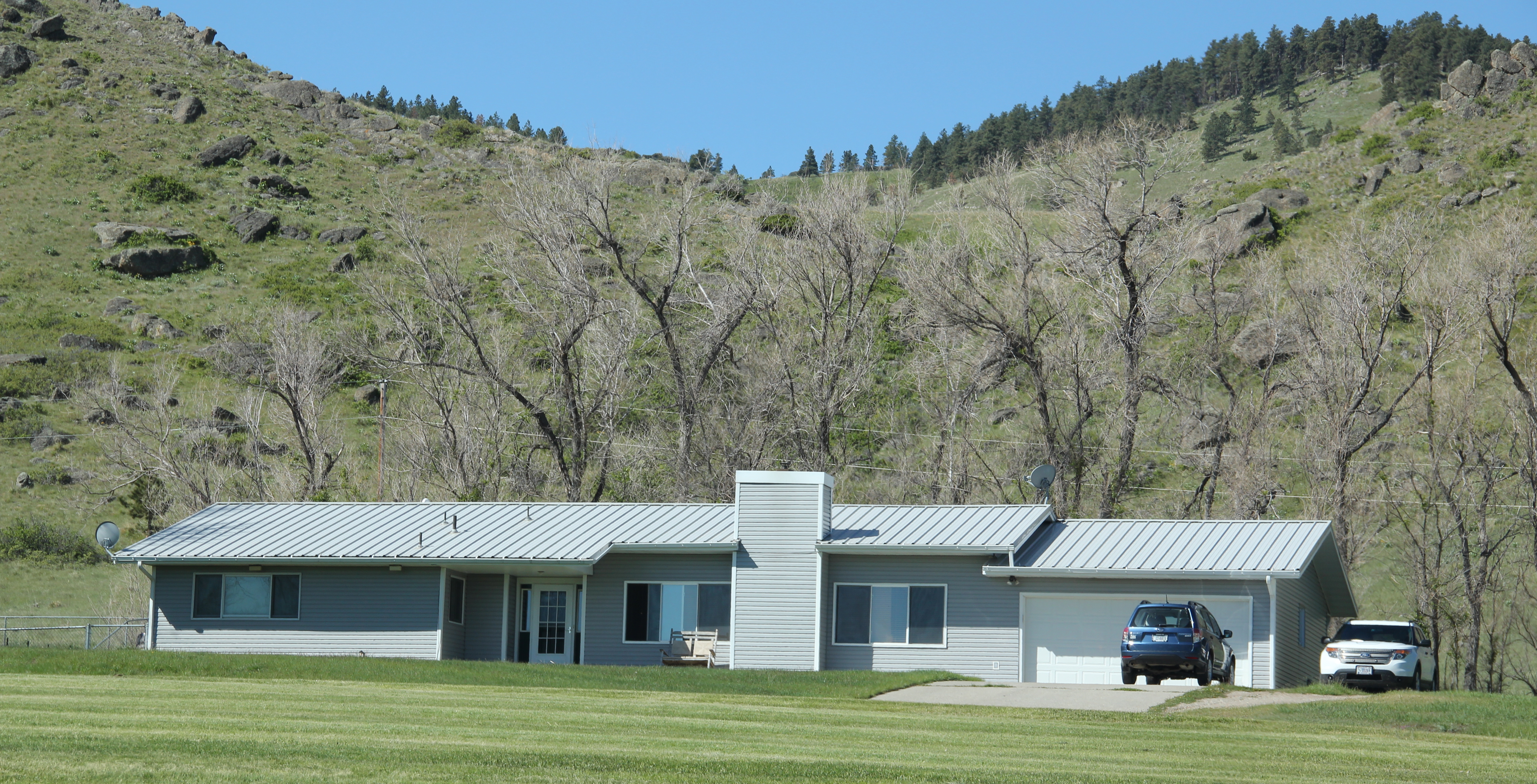
spaces for recreation and parks as well as a separate commercial area.

IMG_5976

IMG_5966

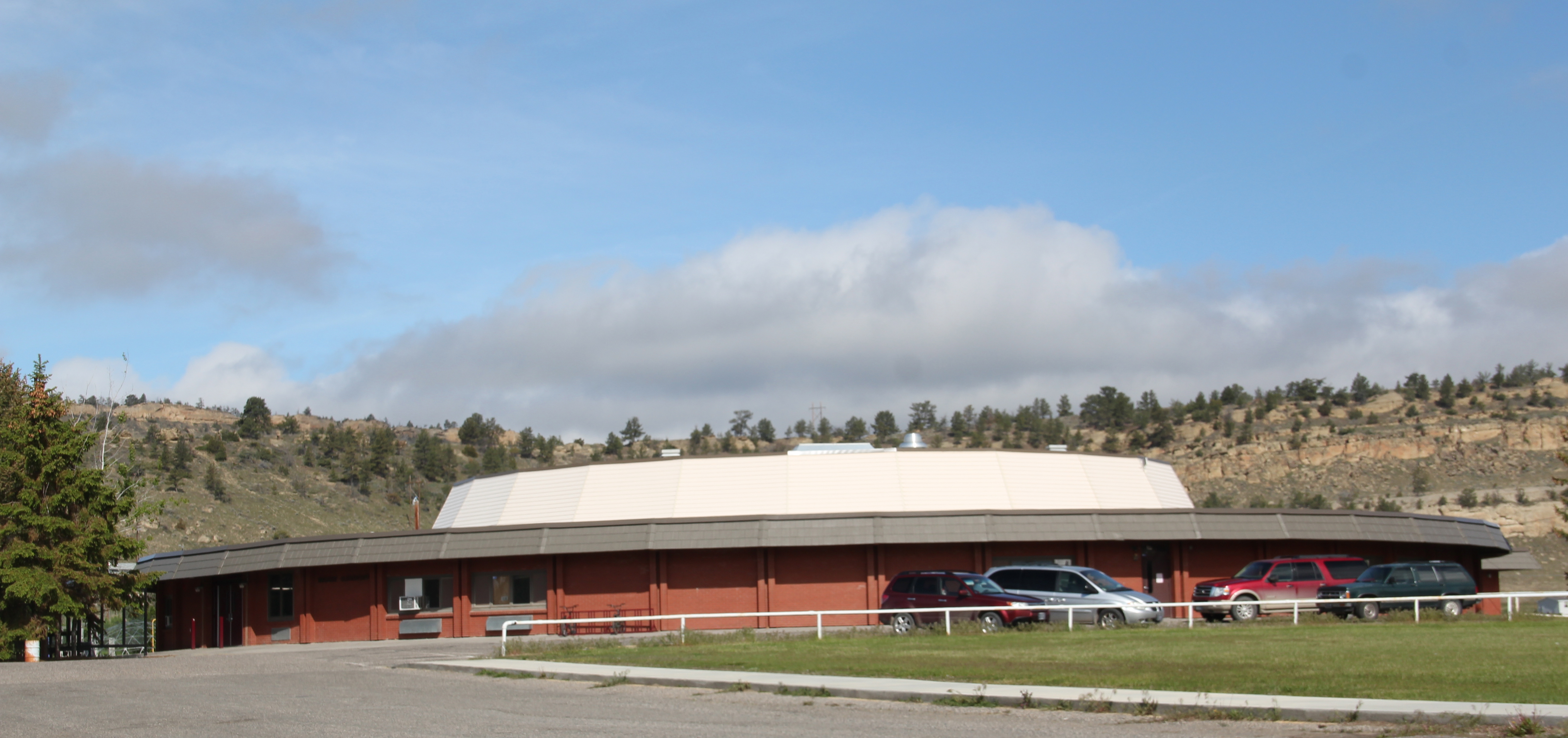
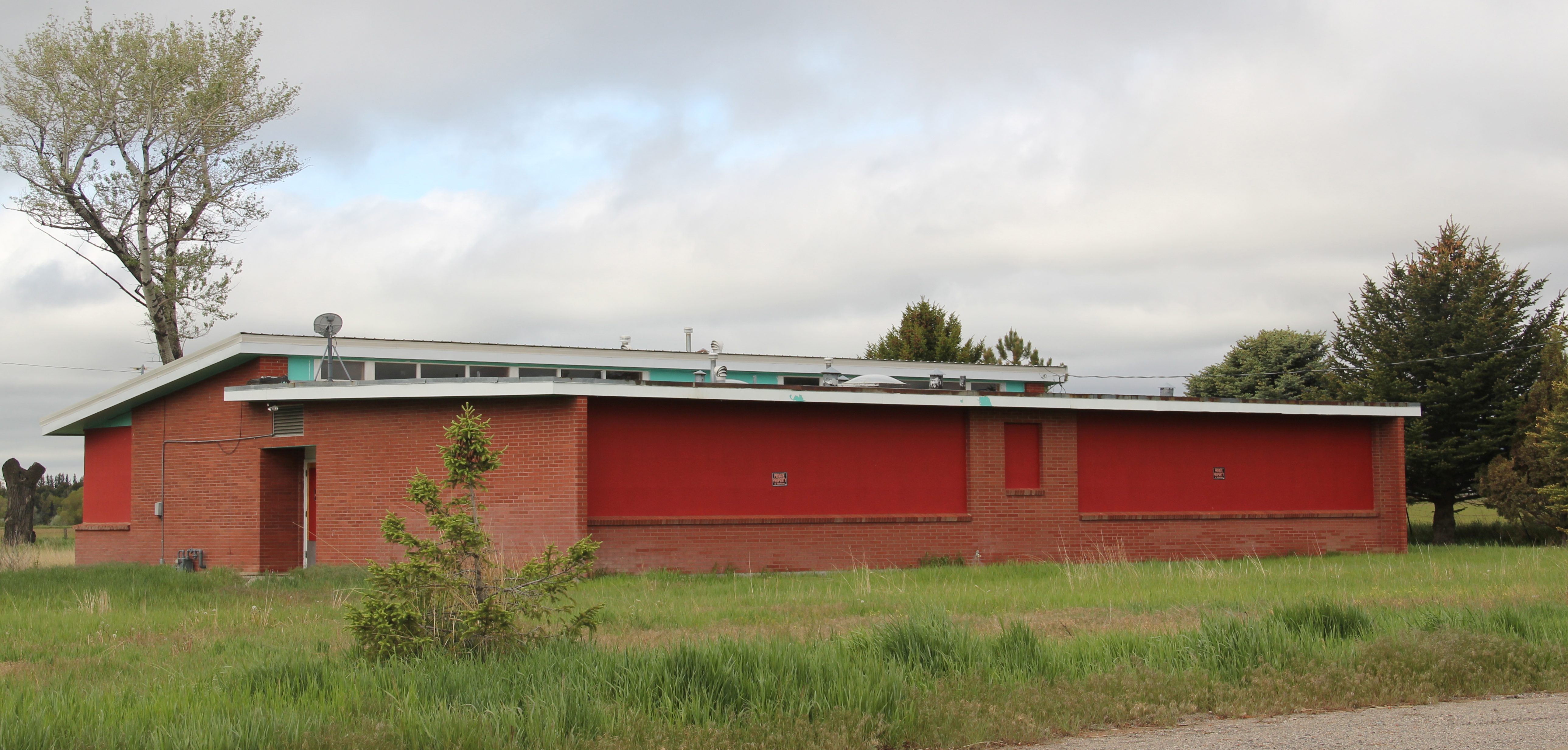
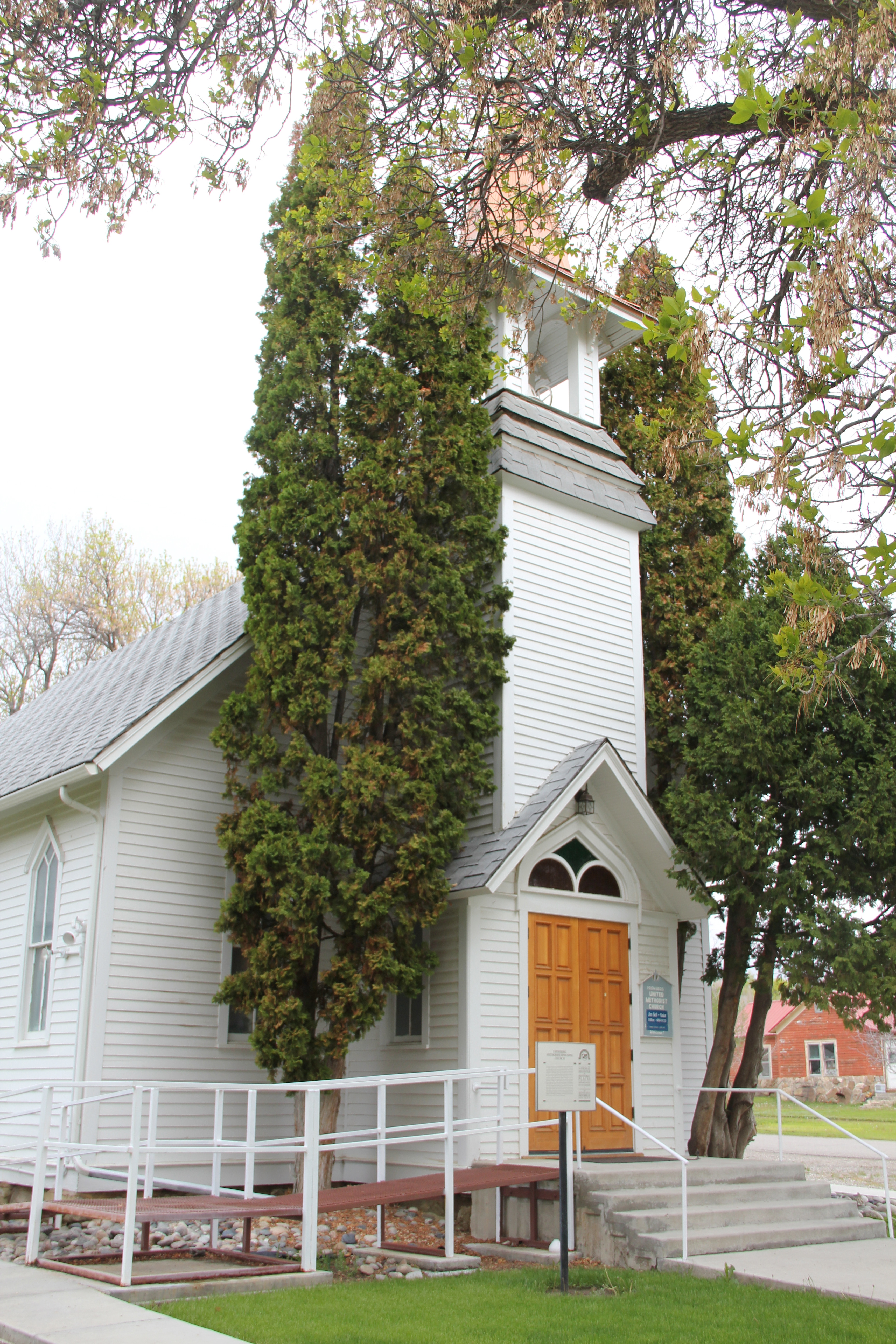
At the heart of the community was not a agency headquarters but a modernist styled public school–recognizing that children and their needs would help to define community among the different federal officials.

IMG_5978

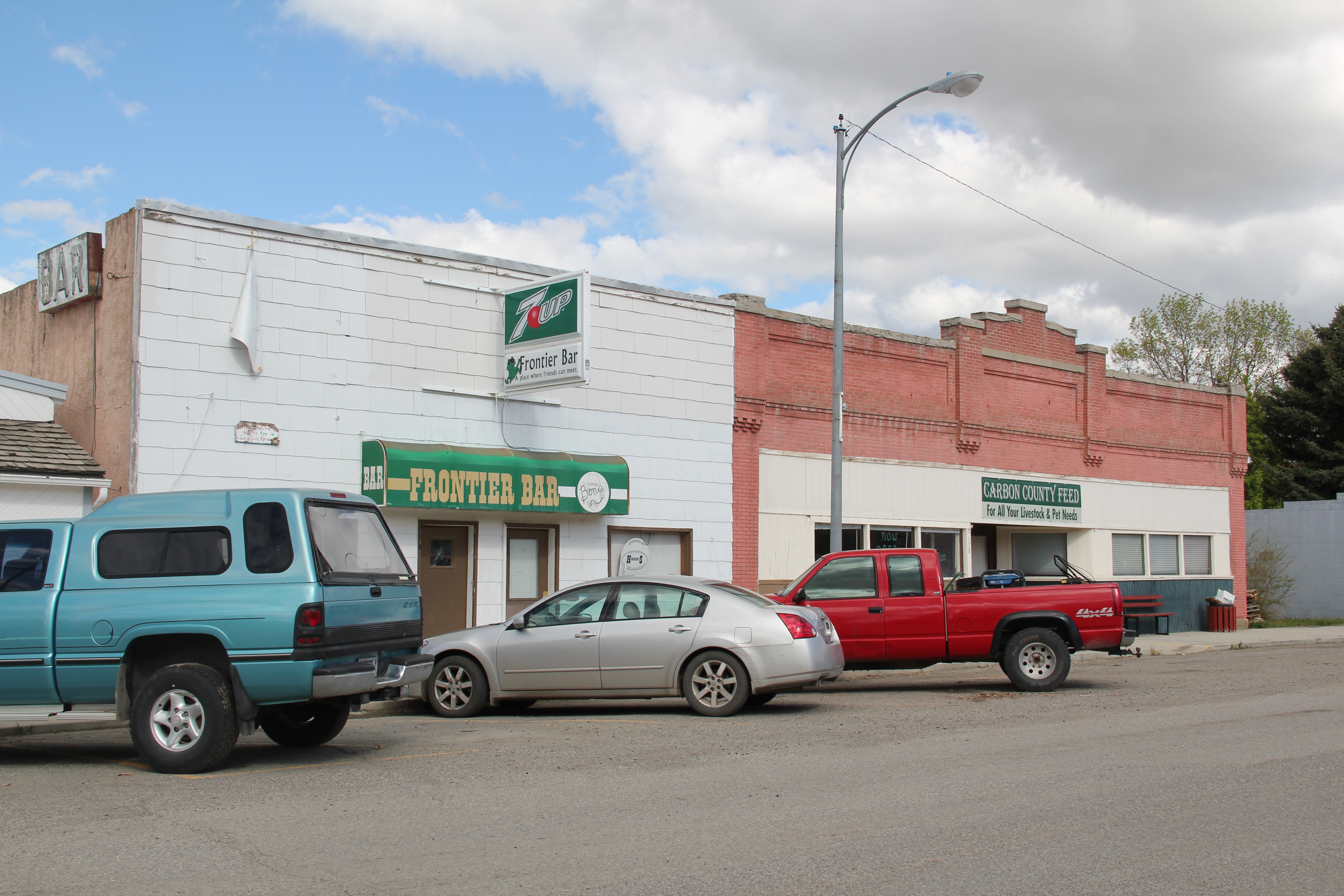
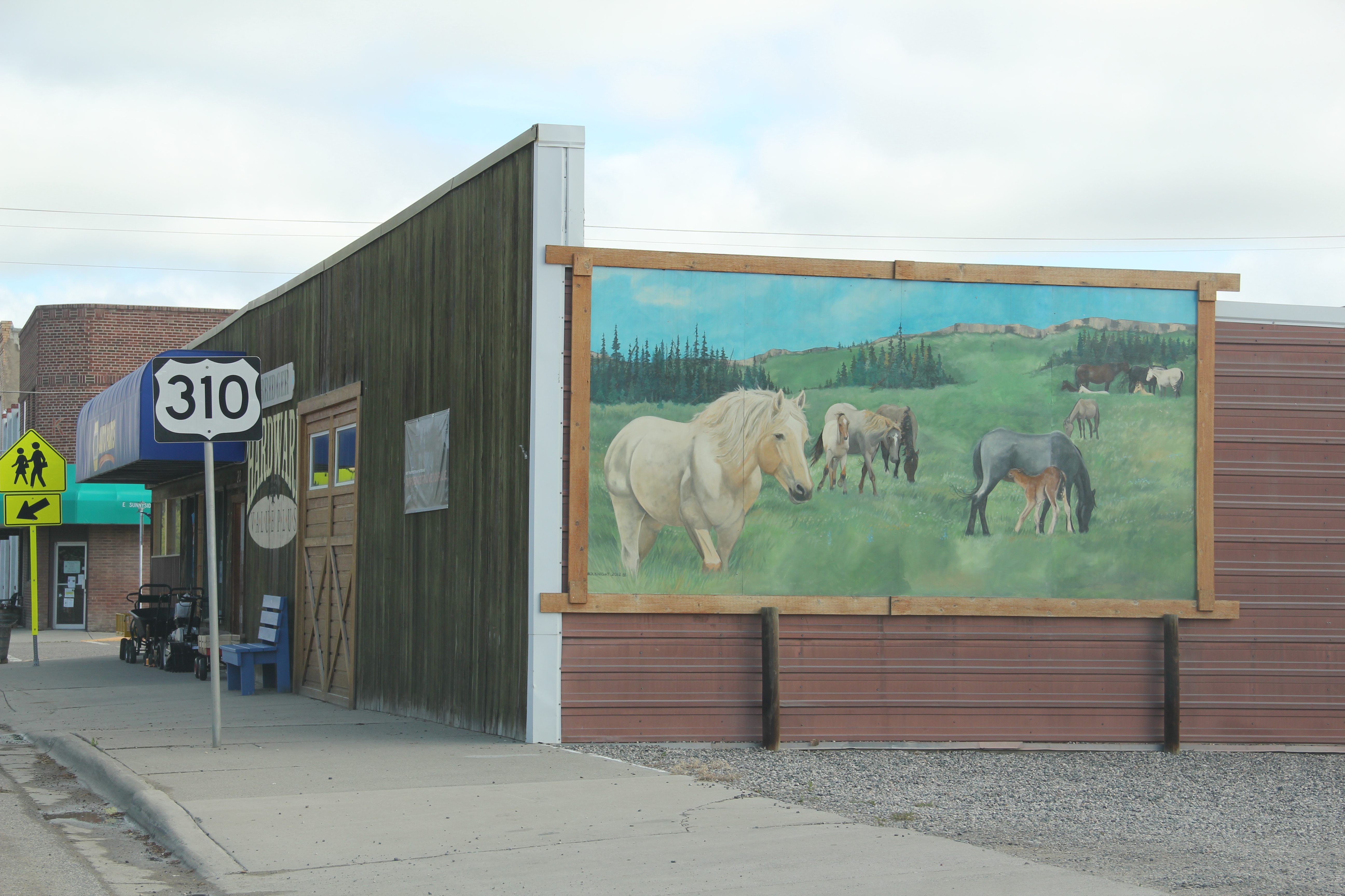
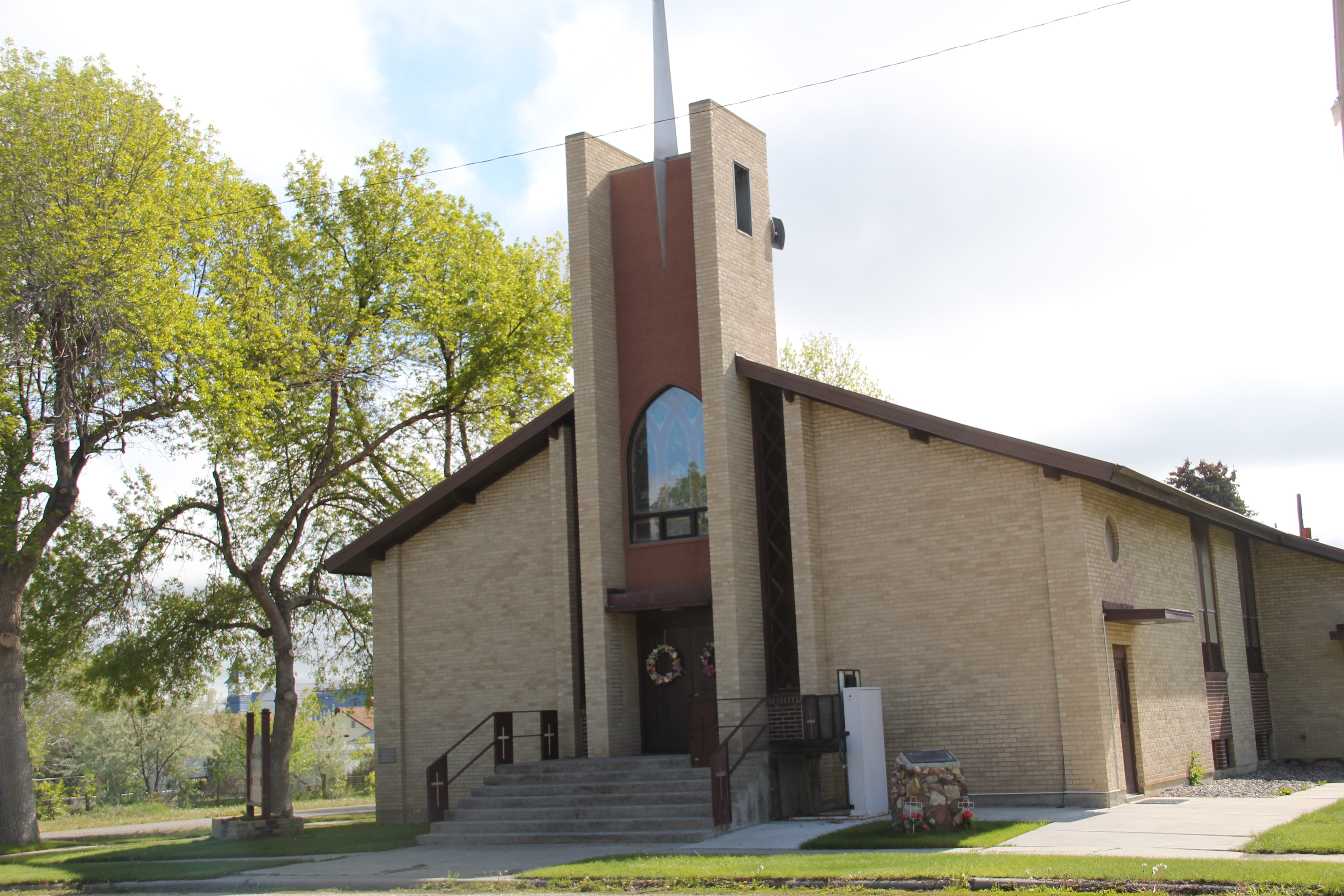
The second Fort Smith is a fascinating landscape documenting the federal impact on the Big Horn River in the middle decades of the 20th century–a basic reordering of nature that created new impetus for recreation in the county and impacted the county seat of Hardin with its own new wave of modernist styling.  A suburb in the middle of nowhere–Fort Smith is among the state’s most distinctive places.

A last look at Carbon County, and a visit into the Crow Nation

In the northern reaches of Carbon County are two additional towns on U.S. 212 I would like to review before I turn into a far different landscape in neighboring Big Horn County.  I looked earlier at the Boyd store, and its changes over 30 years, briefly in passing on to other railroad towns in the Clark’s Fork Valley.

IMG_5916But Boyd is worth a second look if for nothing more than its rambling vernacular design post office since so many of those buildings have been replaced in the last 30 years by standardized USPS designs.  The same can be said of the Boyd School, a frame building now encased in vinyl that has layers of history in it as the community made additions as necessary over the decades.IMG_5917Continuing north on U.S. Highway 212 is the much larger, prosperous town of Joliet. Joliet is an anomaly–its population now is larger than it has ever been since census data has been recorded.  So many eastern Montana towns steadily lost population to where they are mere skeletons of themselves today.  Joliet has avoided that fate; in fact its population in 2010 was slightly more than when I first visited in 1984.

IMG_5928

The Joliet Community Center symbolizes the town’s stability and sense of itself.

The Rock Creek State Bank, now the Rebakah Lodge Building, anchors one of the town’s most prominent commercial corners.  It is one of several buildings in Joliet listed in the National Register of Historic Places, including a large historic residential district, in the last 30 years.  Joliet had nothing designated in the National Register when I visited in 1984.

IMG_5923While there is a bright new sheen to a good bit of Joliet, the downtown still has that classic mix of vernacular frame and brick one-story commercial buildings typical of the turn of the century railroad/homestead boom towns.  And like most, a tavern, in this case the Frontier Bar, is a permanent fixture in the town.

IMG_5920Outside of town is a wonderful array of roadside public sculpture, courtesy of long-time Joliet resident Charles Ringer.  Ringer moved to town, purchasing an old junk yard and part of a WPA granary, in 1971.  His works have become landmarks for travelers along U.S. Highway 212.  Ringer runs a studio shop out of an old ranch-style house.

IMG_5932Known to many winter travelers as “The Snow God” but named “The Creature” by its creator Charles Ringer, this huge metal sculpture is roadside art at its best in Montana.

IMG_5930

Ringer is also known for his various kinetic sculptures, and the entire property becomes a way for travelers to interact with, or just enjoy, the general wackiness of his creations.

IMG_5931

From Joliet you can strike out east on an improved gravel road, passing through the town of Edgar, and then climbing up out of the Clark’s Fork Valley and into the land of the Apsaalooke, or the Crow Indian Tribe.  Traveling west in the Crow reservation, you encounter two instant landmarks, one much more recent than the other but both are tightly intertwined.  A compelling metal sculpture of a warrior announces the entrance to the Plenty Coups High School, shrouded on the morning I went there in 2015 by an early morning fog.

BH Co Plenty Coups HS - Version 2

Across the road is the Plenty Coups State Park, a fascinating memorial to the former Crow chief Plenty Coups, who the Crow Indian Tribe has designated as its last traditional tribal

IMG_5544 IMG_5575

chief.  Plenty Coups had been among the first Crow Indians to take up a homestead, 320 acres along Pryor Creek, in 1884.  His succession of dwellings, using locally available

IMG_5564materials to build a log house, help to tell his story as well as how some Crows became ranchers.  The park has erected a modern tipi to show earlier Crow dwelling types; the rambling nature of the log house, is both typical and spectacular.  Typical in that

IMG_5549

IMG_5559

IMG_5551it is a three-bay house with a centered front door, but actually quite spectacular in its interior feel of open space, and that its very size would have spoken to the family’s prominence and achievements. The park also interprets a traditional sweat lodge, adding to the understanding of tradition and new ways that blended to create the homestead.

IMG_5561

IMG_5578When Plenty Coups died in 1932 he was 84.  He and his wife Strikes the Iron left 195 acres of their property to be a public park.  Later the National Park Service designated the site as a National Historic Landmark. Since my first visit in 1982 a new museum building had been added to the park, significantly enhancing the public interpretation of the site; you left with the feeling that this was just not a static installation and memorial (as it was in the 1980s) but a true museum and park which will continue to grow and adapt to the needs of the Crown Indian Tribe and the park’s visitors.

IMG_5572

To the east of Pryor, on Pryor Creek Road, was another historical place associated with the Apsaalooke–the Pryor Creek Battlefield.  Where in the low creek bluffs and the narrow

IMG_5533

valley created by the water, a major battle between the Apsaalooke and their enemies the Lakota, Cheyenne, and Arapaho took place c. 1861–just at the time the Civil War was beginning in the United States far to the east.

IMG_5536

The Crows had worked with federal officials to build a road turn-off and place interpretive markers about this key battle for the control of the Yellowstone Country c. 1861, just before the time that the first permanent white settlers entered what would become Montana Territory.  Thirty years ago, I knew from Crow historian Joe Medicine Crow that this famous battle, where the Apsaalooke secured control of the region in what Medicine Crow called a “glorious victory,” took place along Pryor Creek Road. But the markers now pinpoint the battlefield and interpret what happened plus the significance of the fight.

IMG_5538

Here was suddenly a place that I had truly never “seen” before–and an indication of how good interpretive markers can make a desolate place come alive with historical meaning.  Kudos to all for bringing forth this forgotten battlefield and a site of a famous Crow victory.

IMG_5539

Bridger: Northern Pacific Railroad Hub in the Clark’s Fork Valley

IMG_5650As you head north into Montana from Wyoming on U. S. 310, the first substantial place you encounter is Bridger, named for famed fur trader and early Yellowstone traveler Jim Bridger.  Like its neighbor to the north in Fromberg, Bridger is another turn of the 20th century Northern Pacific Railroad town in the Clark’s Fork River Valley that was much the same from my initial visit 31 years ago.  Its population had remained steady–a tad over 700, about the same as in 1984, and only 150 or so less than its height in 1950.

IMG_5659The town’s grain elevators speak to the formative impact of the railroad.  Here back in the late 1890s engineers followed a well worn and recognized Indian trail–a similar route to what Chief Joseph of the Nez Perce Indians chose a generation earlier as he tried to find safety for his people, traveling from Wyoming into the Clark’s Fork Valley.

IMG_5631The town’s commercial district retains much of its early 20th century look.  Old bank buildings dominate the town center, while substantial 2-story commercial buildings (including properties listed in the National Register) remain, showing how quickly merchants came to Bridger and launched businesses to attract the growing number of homesteaders in the Clark’s Fork River valley in the 1910s.

IMG_5658

IMG_5633

IMG_5655That first generation of settlers did their part to build lasting community institutions.  The Bridger United Methodist Church is an impressive example of vernacular Gothic design. It is listed in the National Register of Historic Places.  The town library is almost a picture perfect example of what this institution should look like in a small town setting.

IMG_5644

IMG_5636The irrigation ditch drifting through the town park is a reminder of how the engineered landscape of irrigated fields provided much of Bridger’s early wealth and development.  The park itself was a creation of the Works Progress Administration in the late 1930s.

IMG_5634

Within the park is a ceramic and brick arch, one of the town’s many examples of public art.  The mural on a side of a store seen earlier in this post is another example while creative metal statues of wild horses grazing or the imposing figure of Jim Bridger himself welcoming visitors at the southern end of the town underscores a local tradition of public art not often seen in Montana’s small towns.

IMG_5635

IMG_5661                     Carbon Co Bridger jim bridger mt 2 - Version 2

IMG_5630

Other historic statements of the town’s sense of community include the 1930s Civic Center, a bit worn today but a center for community gatherings and social events for decades.

IMG_5651Bridger’s schools from the 1960s introduce Montana modernism to the townscape, almost like spaceships landing within the middle of the Clark’s Fork River Valley.  Modernism 1960s style also characterize Sacred Heart Catholic Church, St. Paul’s Lutheran Church, and the Bridger Seventh Day Adventist Church, constructed in 1965.

IMG_5640

IMG_5646

St. Paul Lutheran ChurchIMG_5639                                            Sacred Heart Catholic Church

IMG_5649These community anchors date from 50 years ago, so obviously growth has been stagnant, or stable, pick your terms, since the boom introduced in the valley through expanded irrigation projects in the post-World War II era.  But all of the buildings are well maintained, and are part of the sense of overall sense of pride you get from a visit to Bridger.

IMG_5654Bridger has reminders, both in monuments and in businesses, of the deep past of the Clark’s Fork River Valley.  It is an interesting place of strong institutions, several National Register-listed historic homes, and local business, and a significant part of the often ignored history of the Clark’s Fork Valley.

Railroad Towns of the Clark’s Fork Valley

IMG_5595

The name Carbon County seemingly says it all–here is a Montana place that is mining country, and coal mining at all.  As earlier posts have discussed, coal mining is vitally important to the county’s history.  The county seat of Red Lodge was a major coal mining town. But even Red Lodge’s historic built environment speaks of another side of Carbon County’s history. Its tall shiny grain elevator along the railroad tracks remind us that Carbon County was also agricultural country, especially in the Clark’s Fork River Valley.Carbon Co Red Lodge elevator - Version 2

The next couple of posts will explore this part of Carbon County–the towns and places many tourists roar by as they seek out Red Lodge and the mountains beyond.  Some places were, and are, tiny but still changes over 30 years are apparent. Boyd, for instance.  In 1984 I caught this iconic view of past and present at the historic Boyd store. The building is still there but the facade is changed, to a rustic western style, one more to the liking of fast-moving tourists.

General Store- PO. Boyd Caron Co. MT  IMG_5919

Edgar is a place that admittedly I gave little attention to in 1984.  That was a mistake.  I missed a very interesting modernist-styled school, probably part of the county-wide WPA projects for schools in the late 1930s, along with another 1960s styled addition.  The school closed in 2009.

Carbon Co Edgar New Deal school 3 - Version 2

IMG_5594

Edgar still has its bar, located in a fine one-story brick building–but not much else from the decades when it mattered in the 20th century.

IMG_5589Fromberg is a different story.  Unlike so many country railroad towns in Montana, Fromberg has a strong sense of itself, both in the present and in the past.  Part of that has to be a reflection of its comparative stability.  Its population height came in 1940, with mover 500 residents.  Today the population remains over 400, just about a 100 person decrease over 70 years.  For Montana rural towns that is exceptional.  Indeed, from my first visit in 1984 to my last in 2015, the town had only lost a few families.

IMG_5598 IMG_5597Fromberg has its own museum; the centerpiece of which is its restored railroad depot, part of the old Northern Pacific spur line.  In true northern plains fashion, other historic buildings have been moved onto the museum grounds.  It’s not quite a building zoo but the buildings give the place enough presence to attract visitors speeding along the highway.

IMG_5600 IMG_5599

Fromberg is a t-plan town, and all of the patterns of that type of town planning are apparent.  From the depot, running west, is the primary commercial street, with brick and fame buildings on either side.

IMG_5601

IMG_5622

The historic Odd Fellows hall dominates the commercial district–its conversion into the town’s post office, rather than a historic building being lost so a modern standardized design post office could be put in its place, is an excellent example of historic preservation done right.  Indeed, Fromberg residents have embraced the possibilities of preservation and multiple buildings are listed in the National Register of Historic Places.

IMG_5623

IMG_5618The mural about overland travel on the front of the Clark’s Fork Bank adds a touch of public interpretation.  If you want first-person stories, a stop at the Little Cowboy Bar (and “museum”, located at where the commercial district intersects with the highway, will be worth it.  It is one of the region’s classic watering holes.

IMG_5626

Fromberg also has documented its historic domestic architecture, raining from vernacular styled early 20th century homes to more stylish bungalows and even a couple of good examples of Dutch Colonial Revival style.

IMG_5617

IMG_5614

The homes are clustered around two historic churches, the brick St. Joseph Catholic church and the frame Gothic-styled and National Register-listed Methodist Church, built in 1907-1908 by contractor Charles Darnell and the community.

Carbon Co Fromberg St. Joseph Catholic - Version 2   IMG_5615T

The historic Fromberg school, like its counterpart in Edgar, was part of the countywide program of building modern schools by the WPA during the New Deal.  Its still impressive facade conveys well the WPA’s sense of modernism, and it remains the town’s primary community center today.

IMG_5607