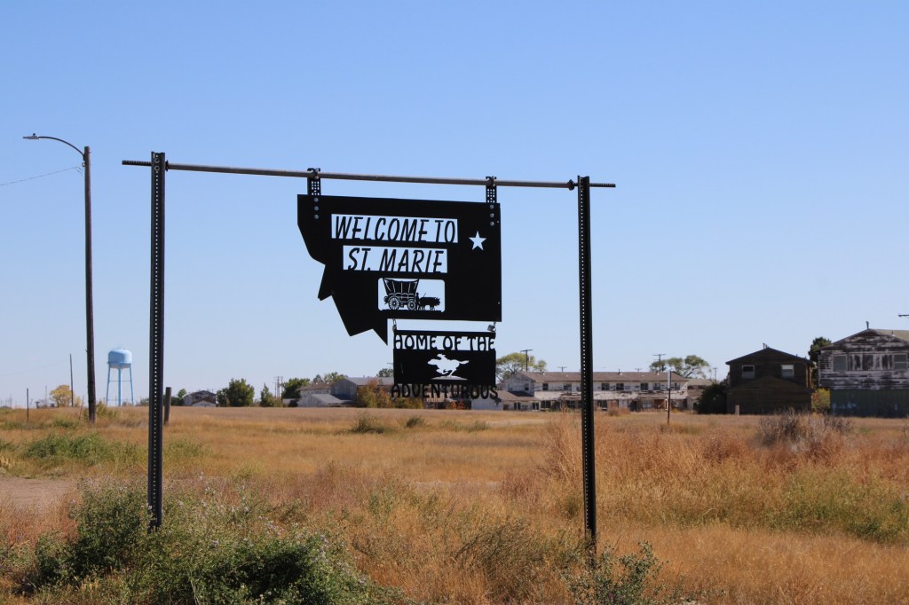
St Marie: Cold War Ghost Town

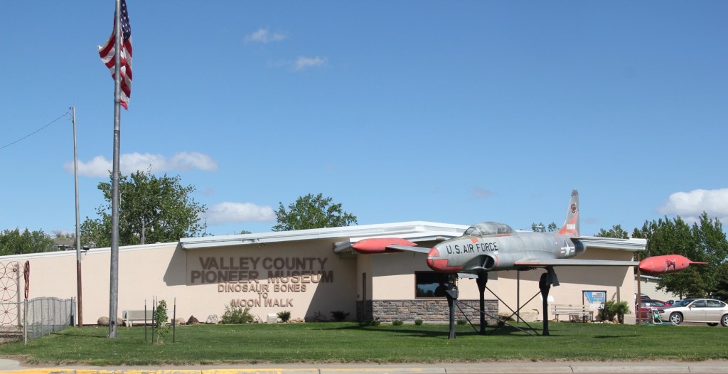
My first visit to what became known as St Marie came in 1984 when local Glasgow residents associated with the Valley county museum took me to the closed Glasgow Air Force Base, about 15 miles north of town. From the late 1950s to the 1970s, the base was an important cog in the Cold War military capabilities of the United States when huge B-52 bombers ruled the sky. Then suddenly it was not so important and the Air Force left.

Valley County Museum, Glasgow

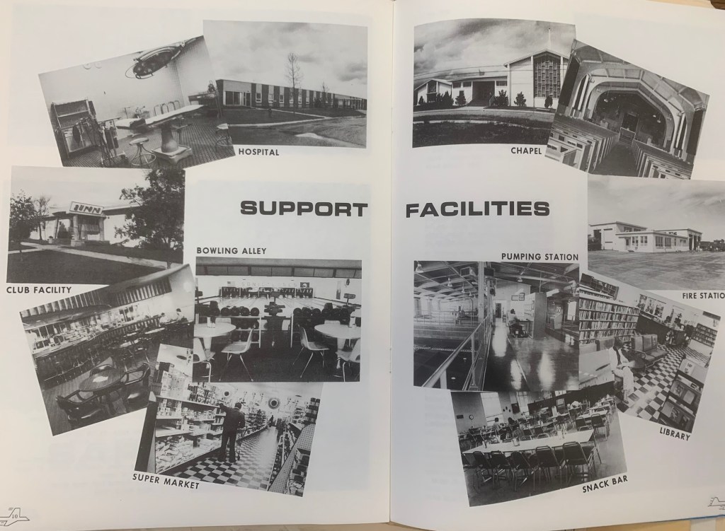
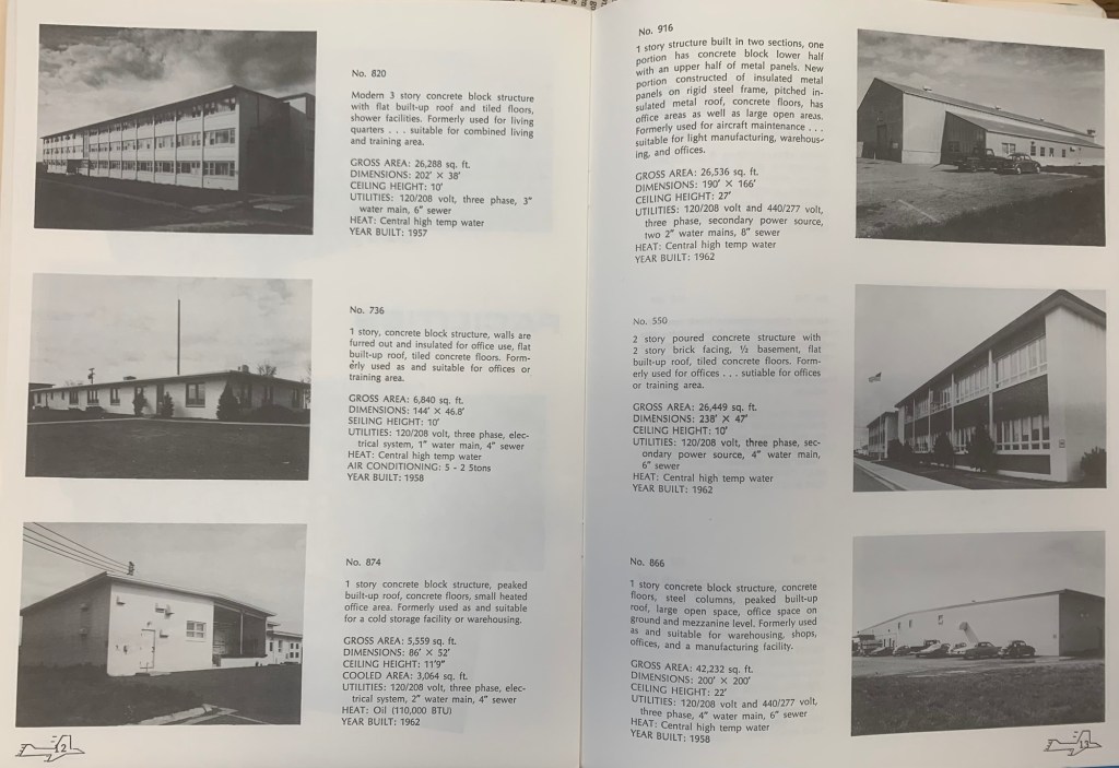
The locals in 1984 spoke of grand plans, of how the Air Force was in the process of selling the base, building by building. That part was true. They gave me a booklet that explained the past purpose of each building and the value of each building at that time.

In 1984 it seemed unlikely to me that a new use could be found because the base was so big—its population was once 50% of the entire county—and it was so isolated. If the Air Force didn’t have a use for it, who would?

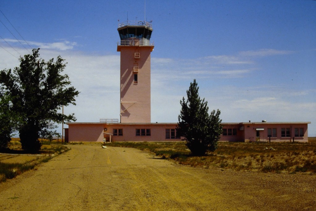
Control tower 1988

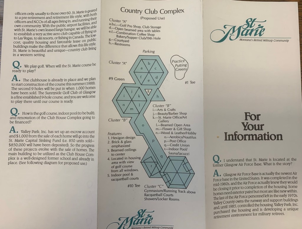
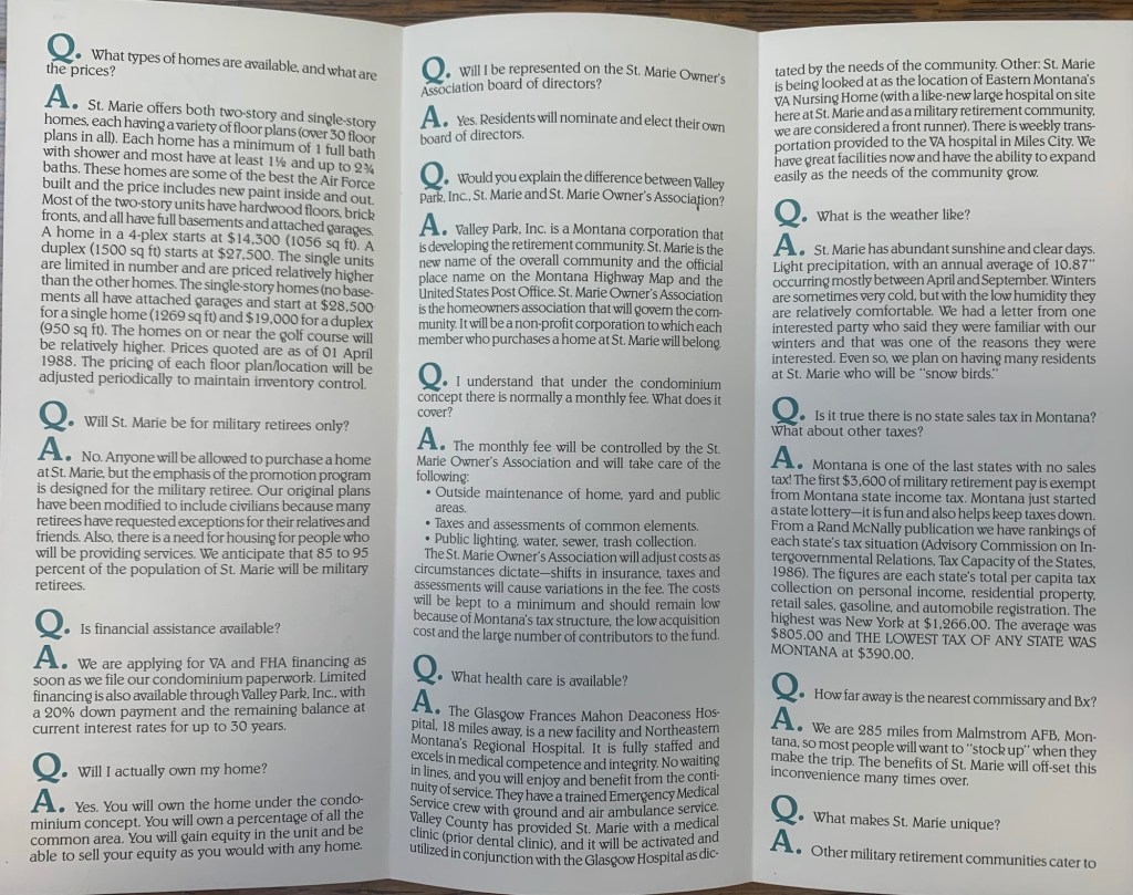
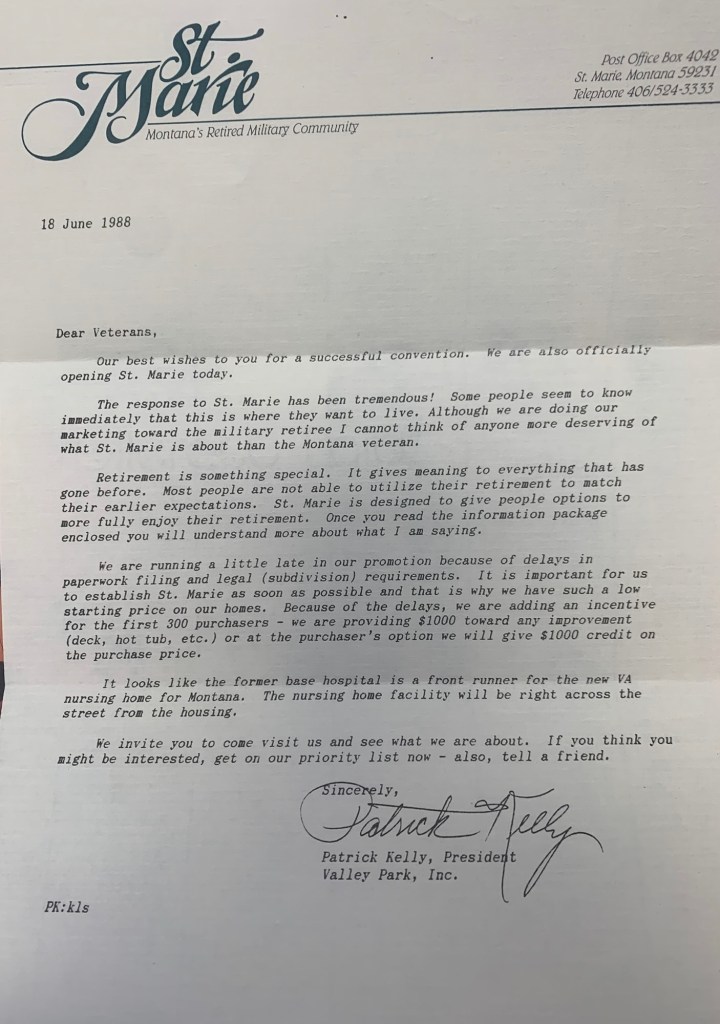
When I returned in 1988, the transformation of the base into civilian control was underway. Locals excitedly informed me of the new comprehensive plan to turn the base into a retirement community named St Marie, targeting veterans. The old support facilities would be humming once again and a golf course would be central to everything.

I was urged to invest now—get one of the officers homes, or half of a duplex for remarkably little—$27,500 for a 1,500 sq ft unit.

Obviously I passed on the opportunity, as did so many others who visited the community in the making over the next years. But enough said yes to give St Marie a fighting chance for a future. The promise didn’t last long, as several recent research articles detail. When I next visited Glasgow 25 years later in 2013, the folks at the museum didn’t urge me to buy—they told me to go and see what was left.

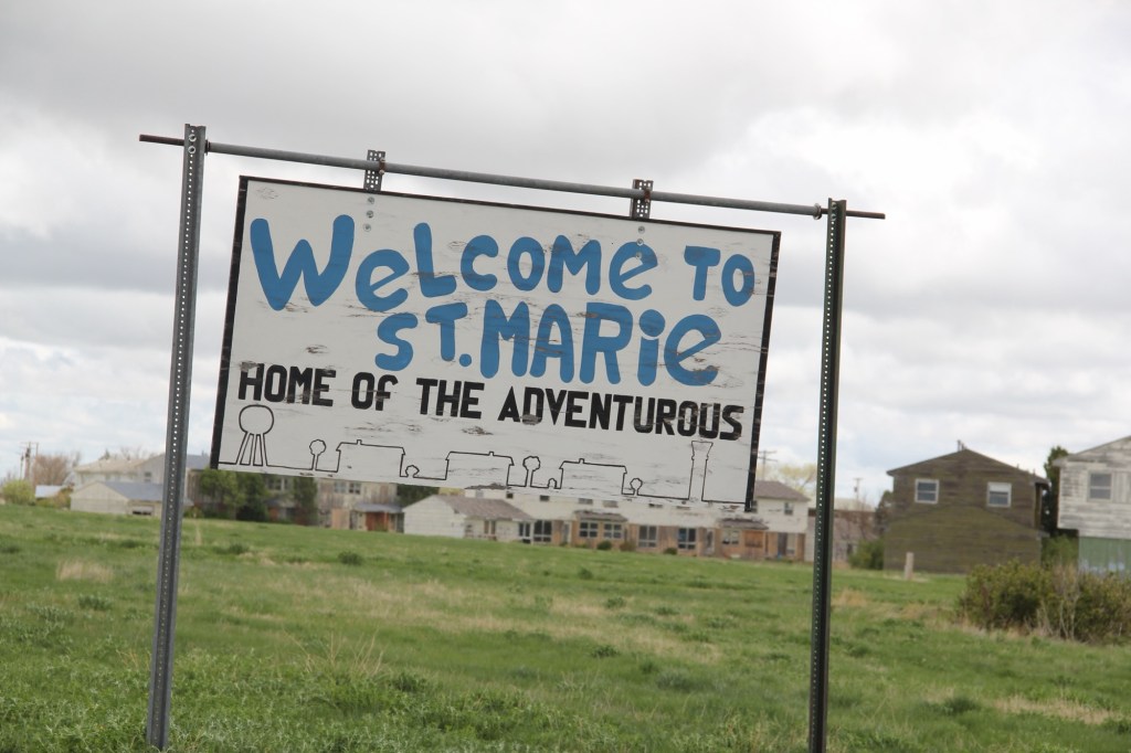
St Marie in 2013
2013
2013
2013
2013
2013

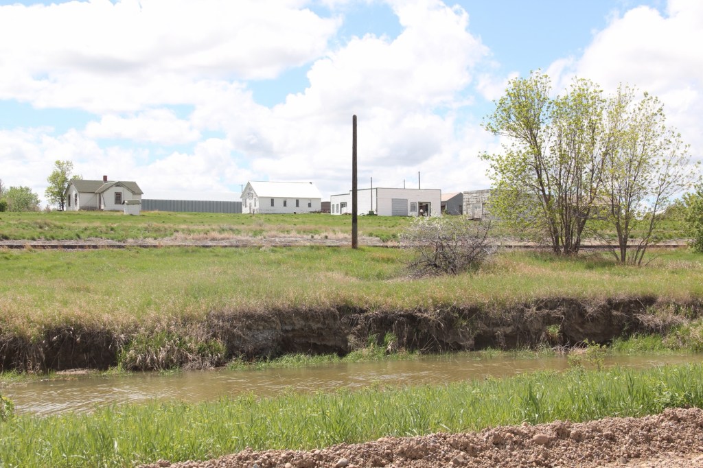
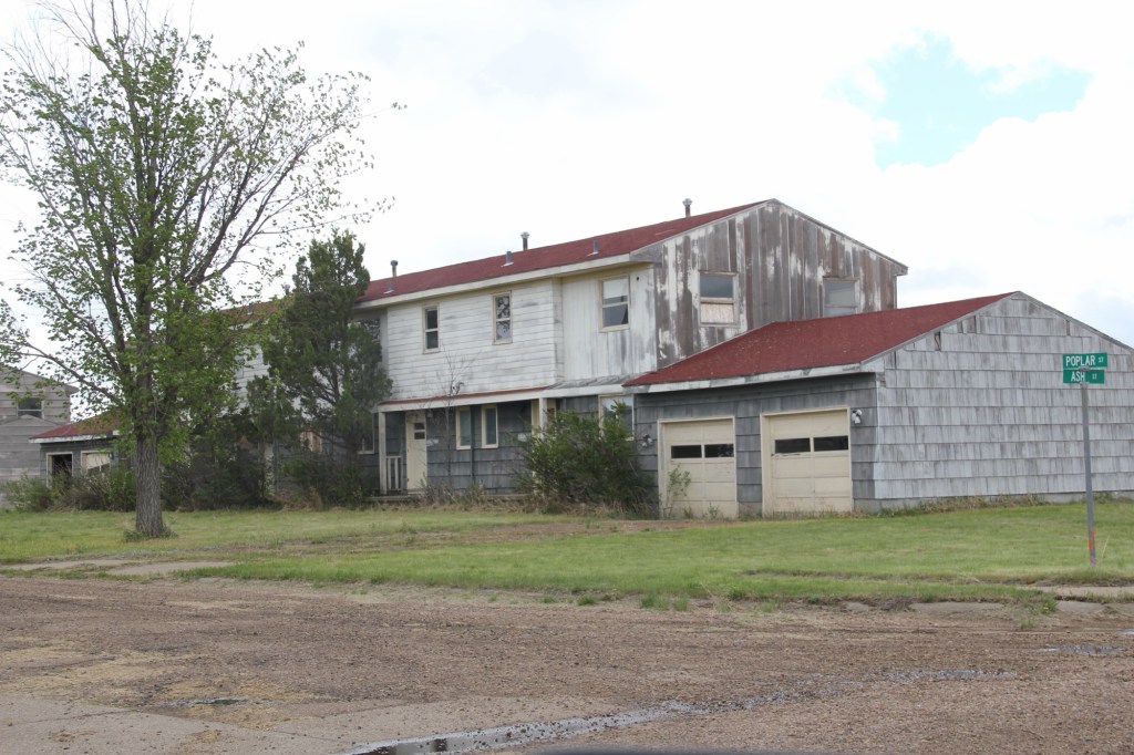
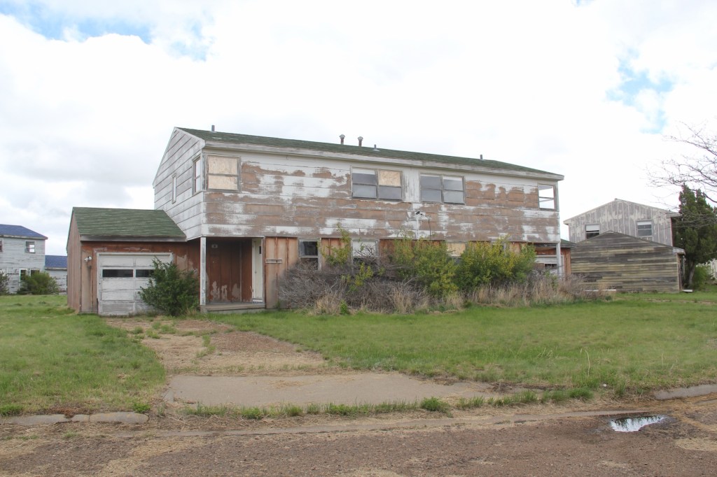
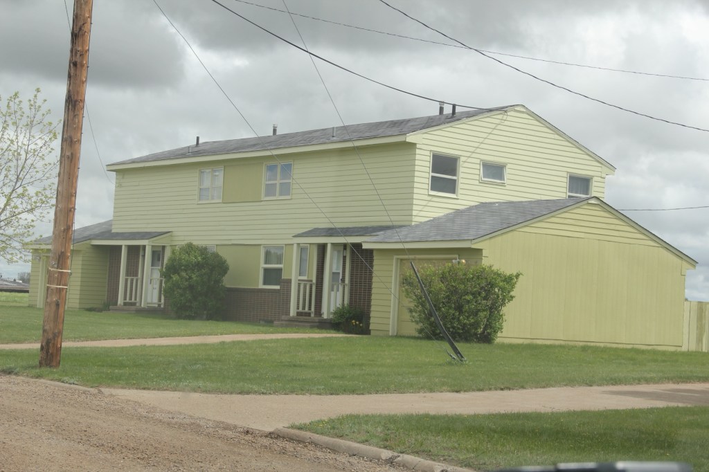
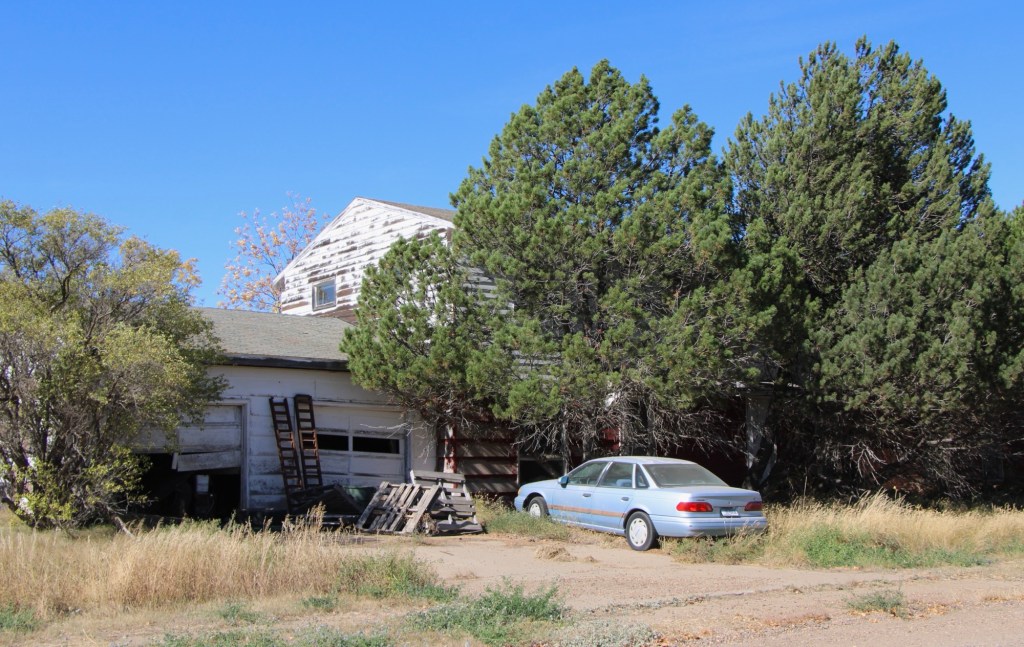
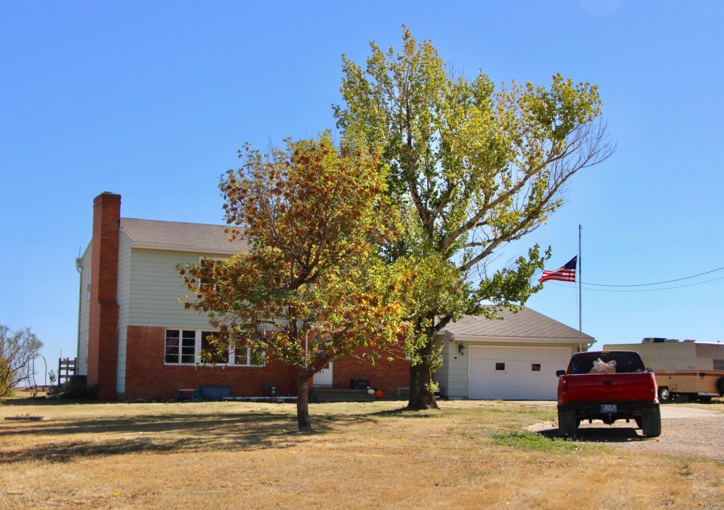
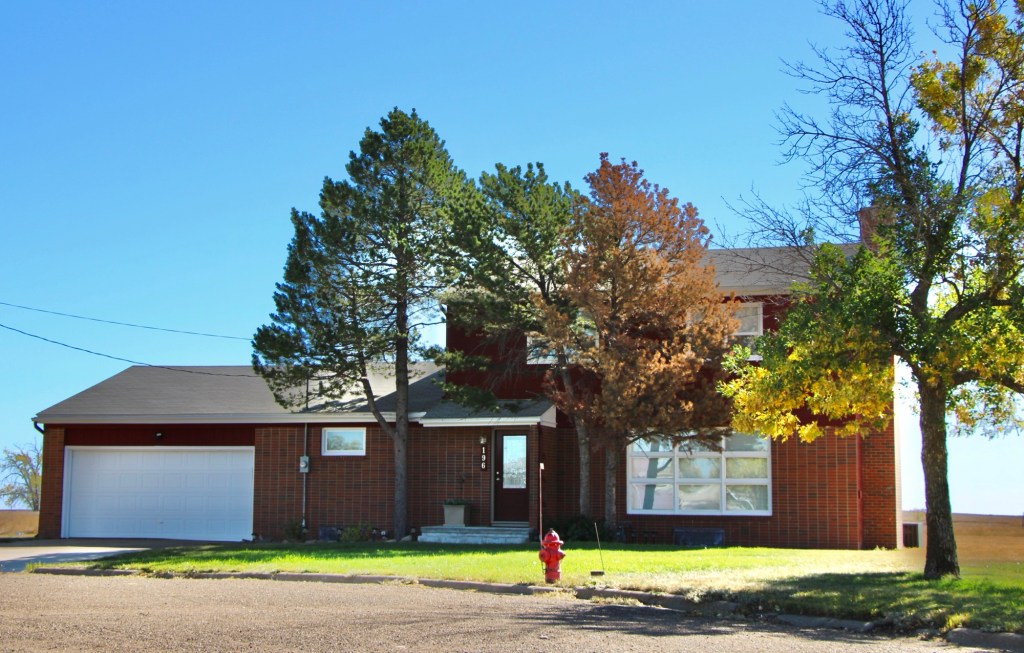
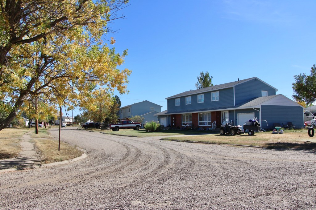
Rot, decay, mold were everywhere—but just like so many Montana ghost towns there remained a core group of residents who kept their homes well and expressed pride in what had been accomplished.

2013
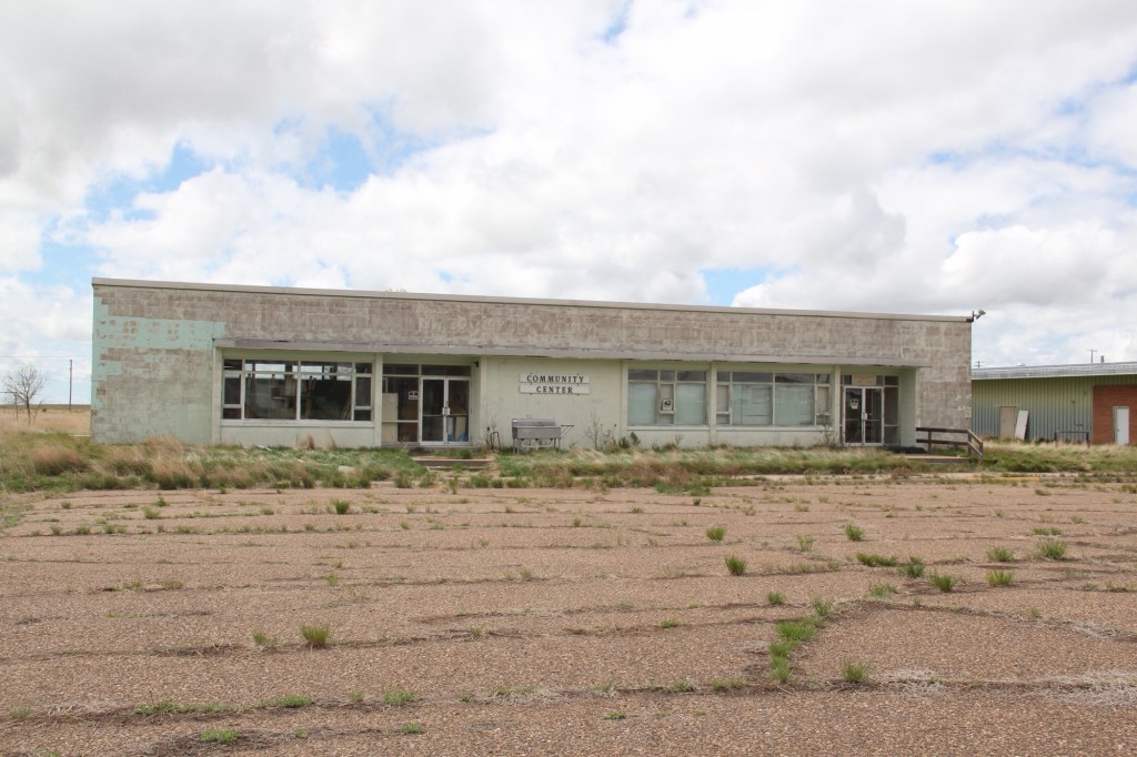
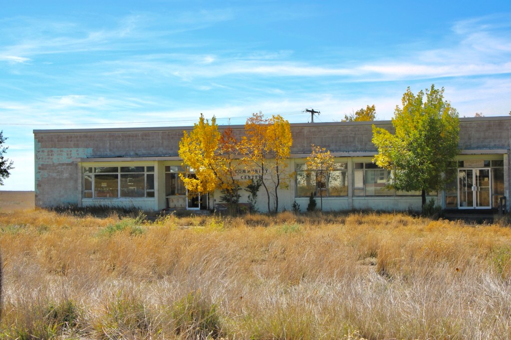
Community center 2013

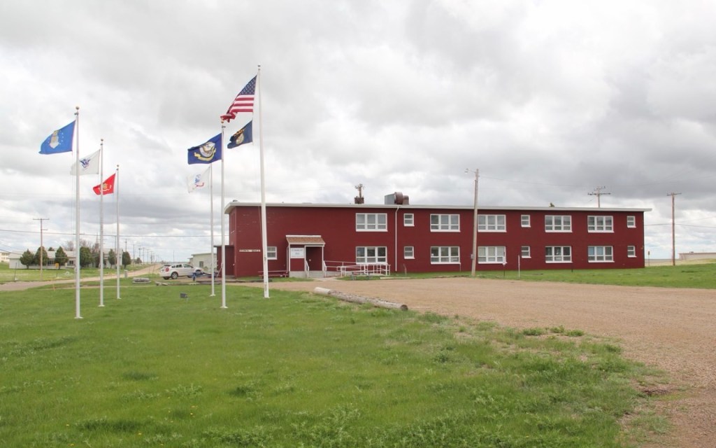
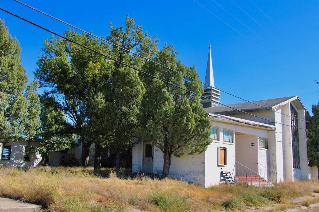
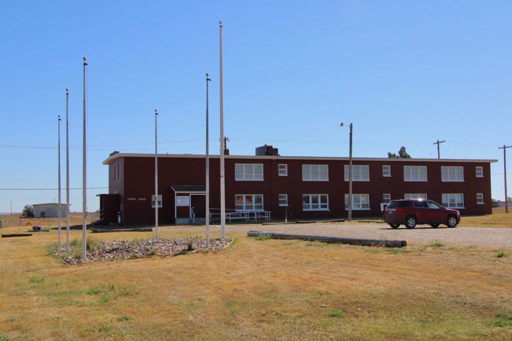
While key community buildings such as the chapel and post office/community center were closed, the flags were still flying proudly at the town hall. Officials spoke of a turnaround in the making.

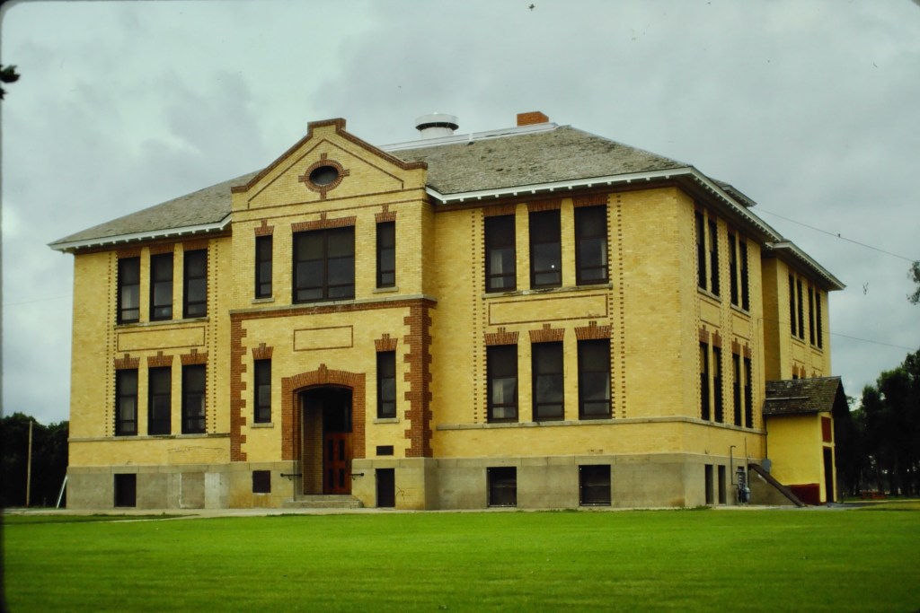
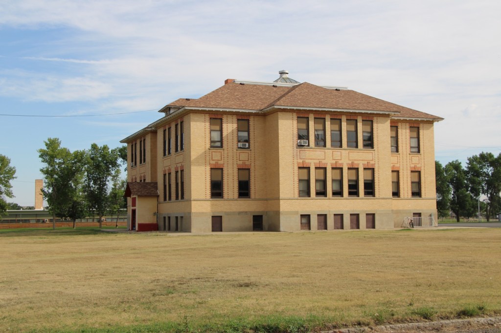
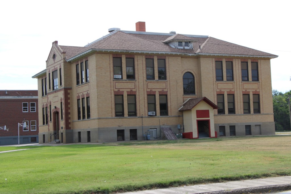
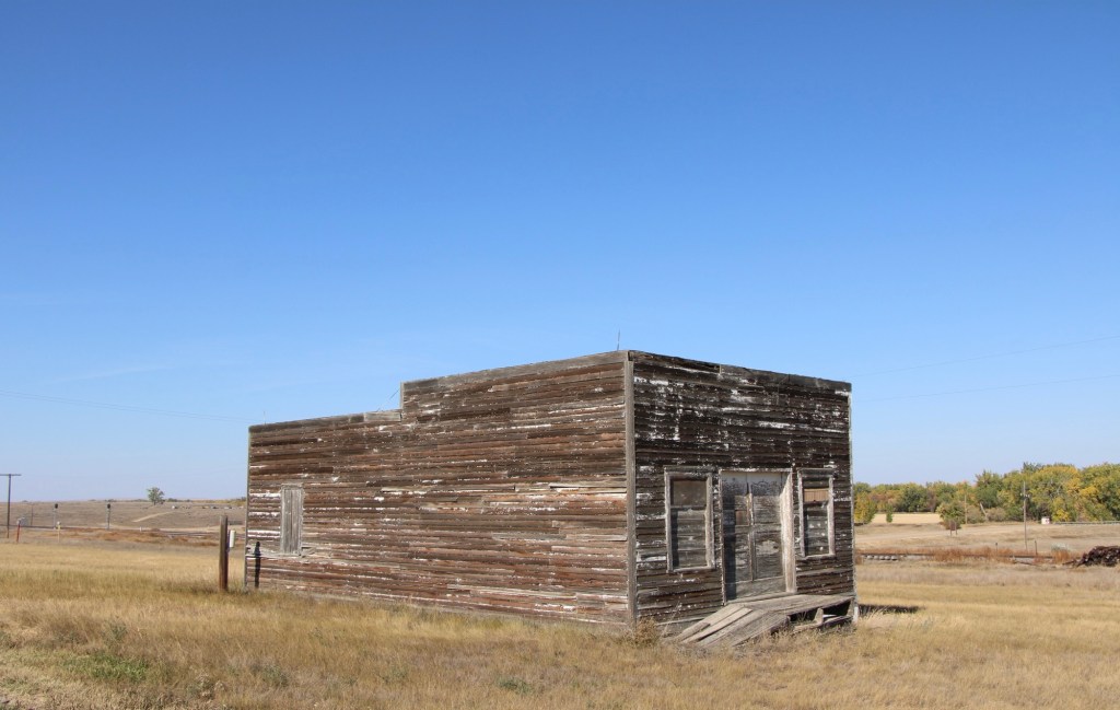
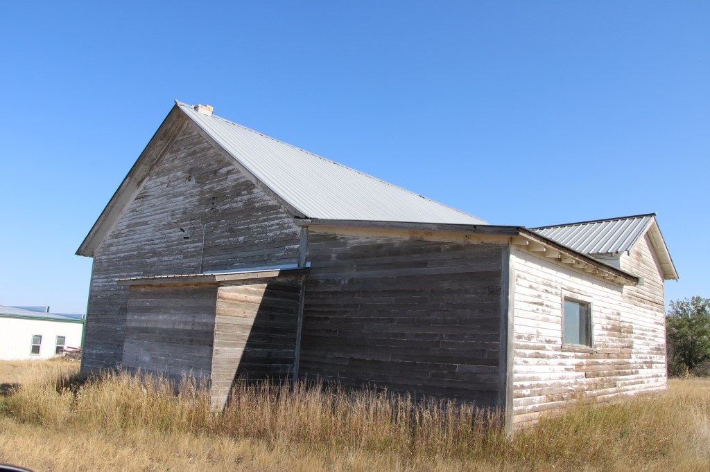
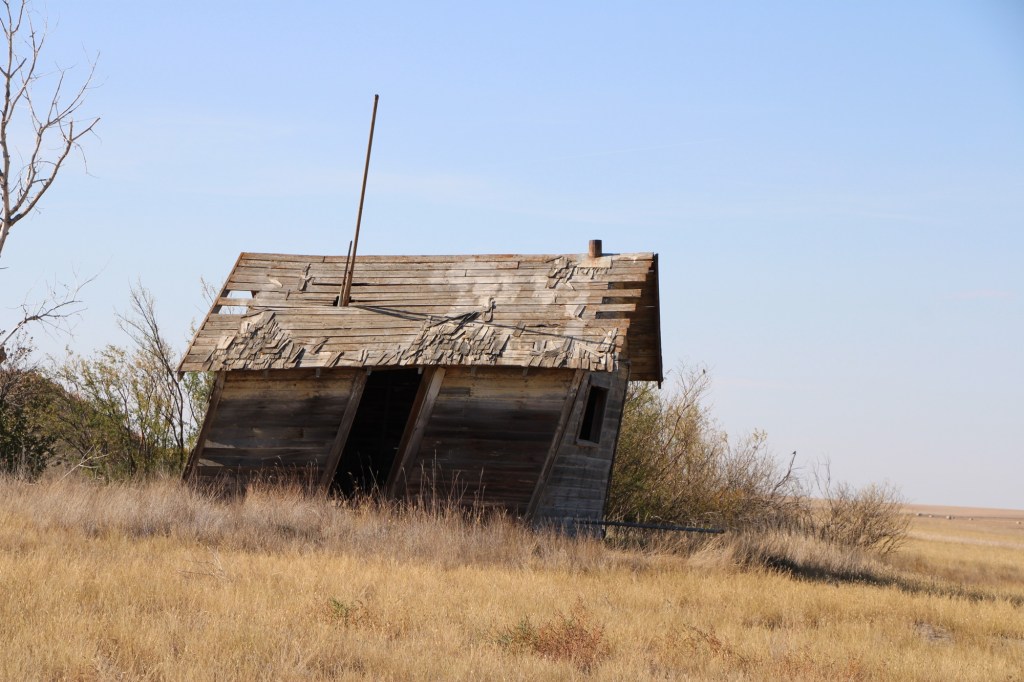
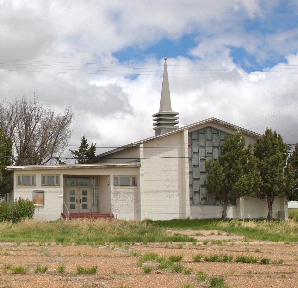
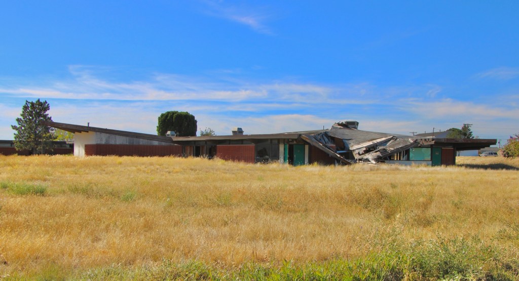
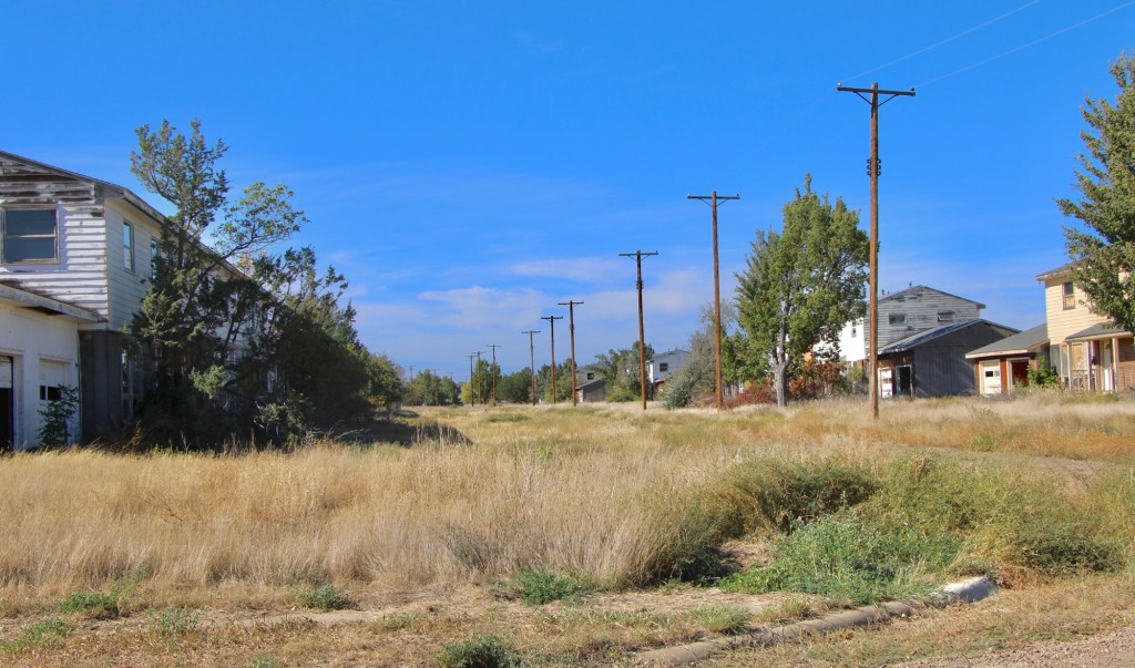
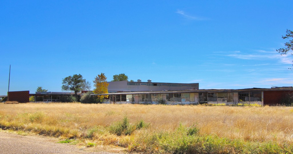
I returned in the fall of 2025–more than 40 years after my first visit—to find hopes mostly extinguished. The deterioration of the chapel, community center, and schools was shocking—little hope there.

October 2025
October 2025
October 2025
October 2025

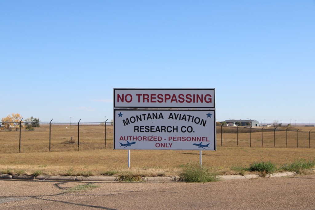
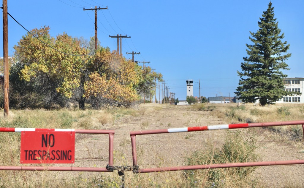
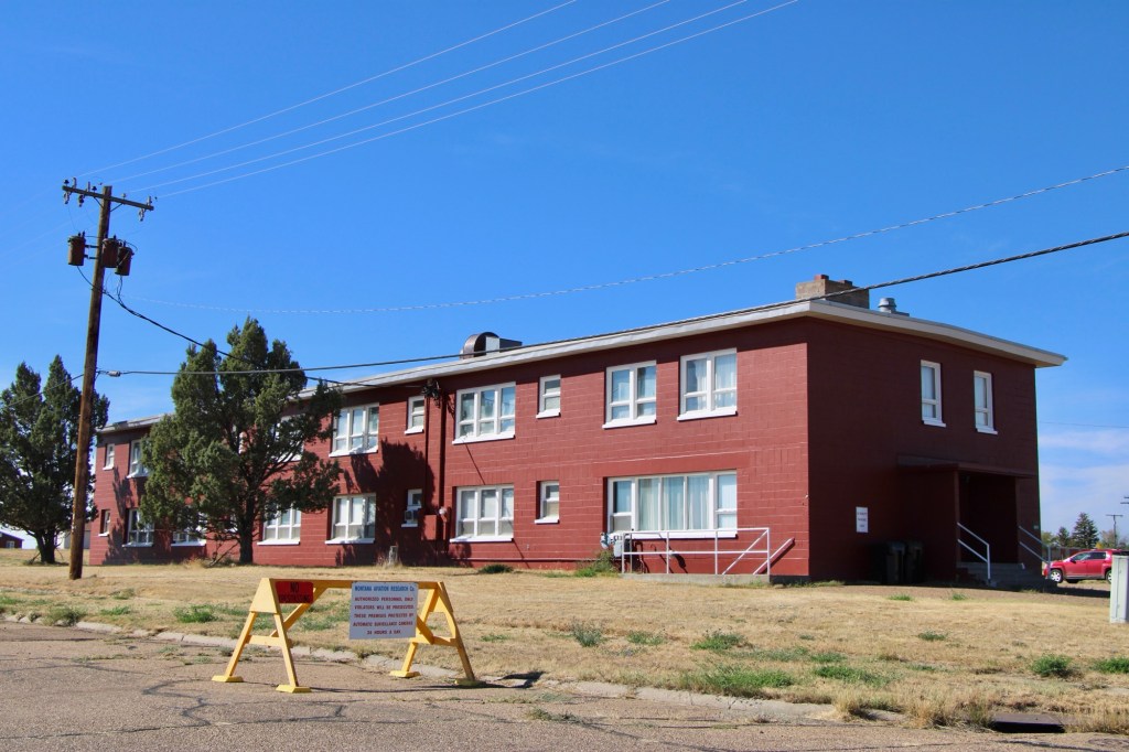
There were no flags flying at the town hall but everywhere it seemed there were new signs and barriers of the Montana Aviation Research Co. This private company was now using the runaways and had converted several buildings for employees’ use.

October 2025
October 2025
October 2025
October 2025

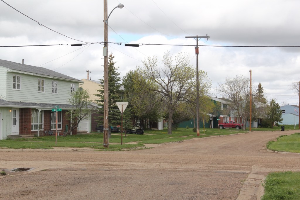
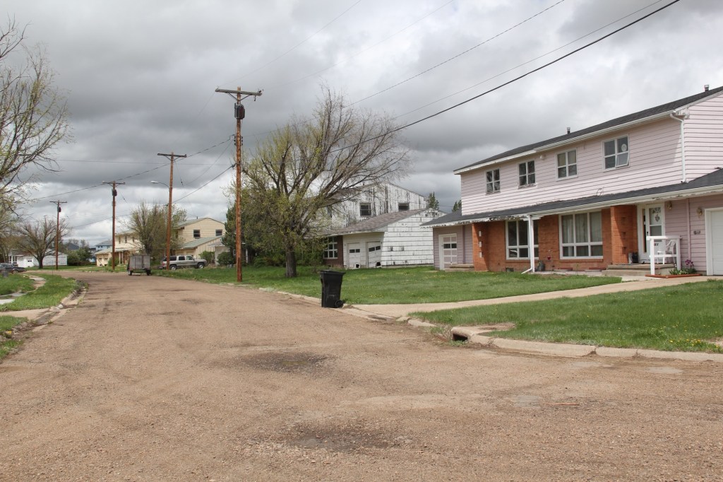
The population had cratered since 2013 but of those approximately 300 people who still called St Marie home, you have to admire their commitment to the place. Numerous homes were well maintained even with the signs of abandonment everywhere.

October 2025
October 2025
October 2025
October 2025
October 2025

What will be left when I next visit this modern-day ghost town of the northern plains?

Another win in Helena

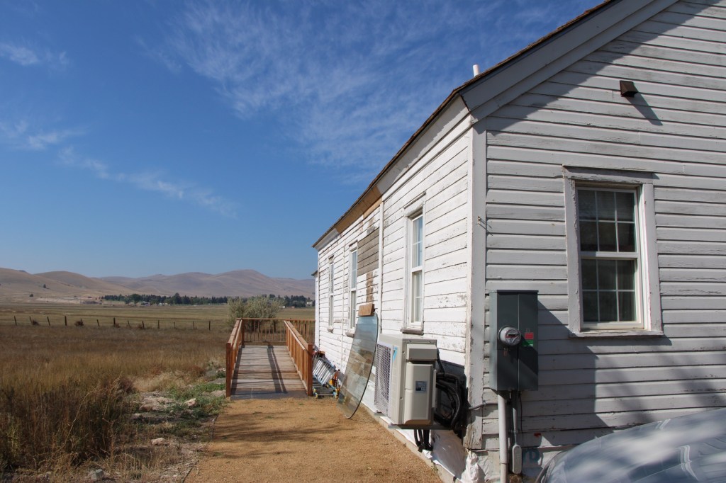
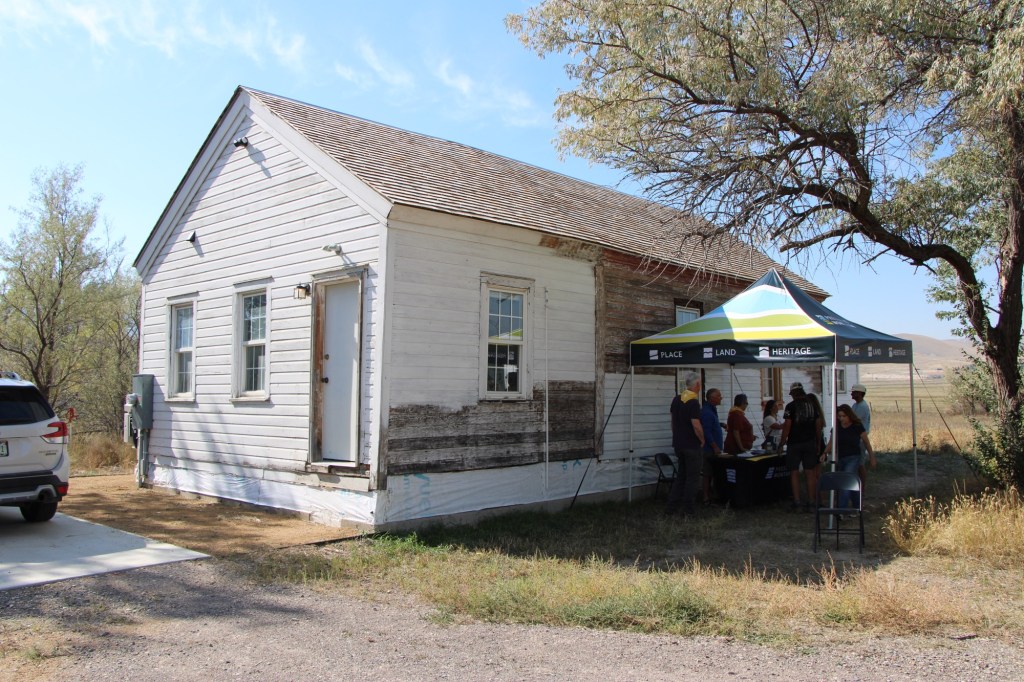
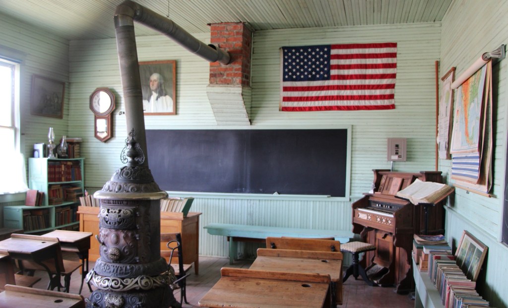
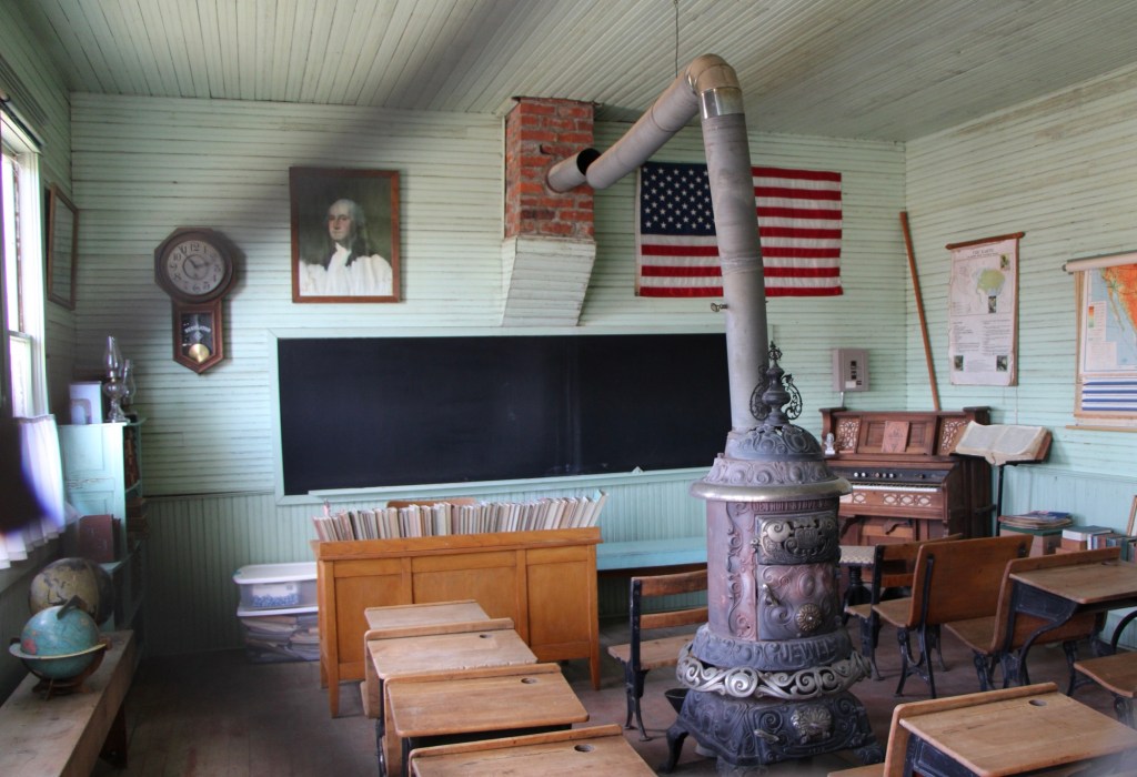
This year’s grants of the Foundation for Montana History are supporting many worthy projects across the state. One that I have been watching for some time, about 7 years, is the progress made in the restoration and reuse of the historic Baxendale School outside of Helena.

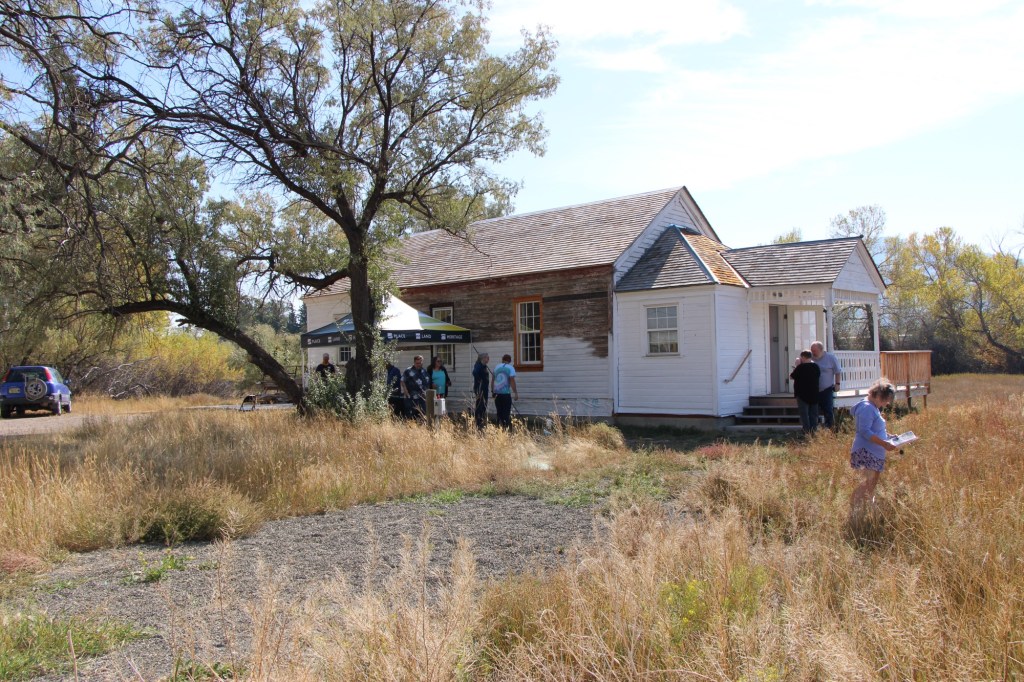
Built in the 1890s, it served as a one-room school in rural Lewis and Clark County until the mid-29th century. Luckily no one tore it down over the following decades. About 15 years ago Preserve Montana (then called the Montana Preservation Alliance) carried out a study of the state’s one room schools and convinced the National Trust for Historic Preservation to list Montana’s rural schools as one of the nation’s most threatened historic resources.

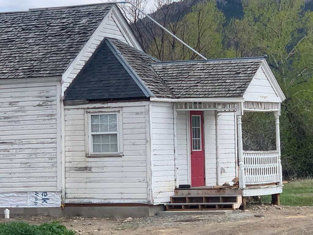
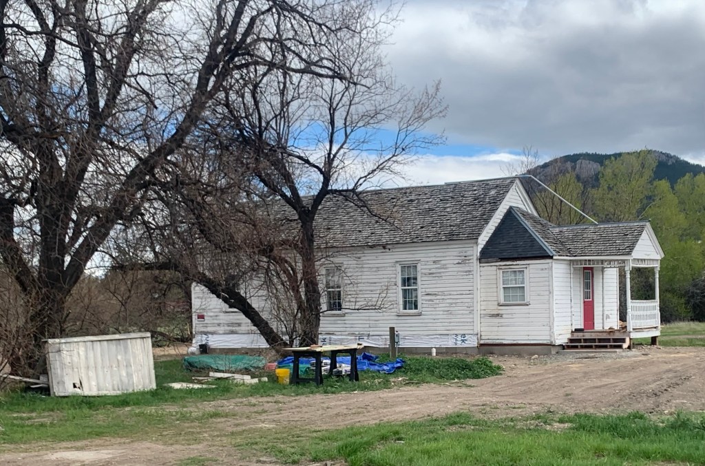
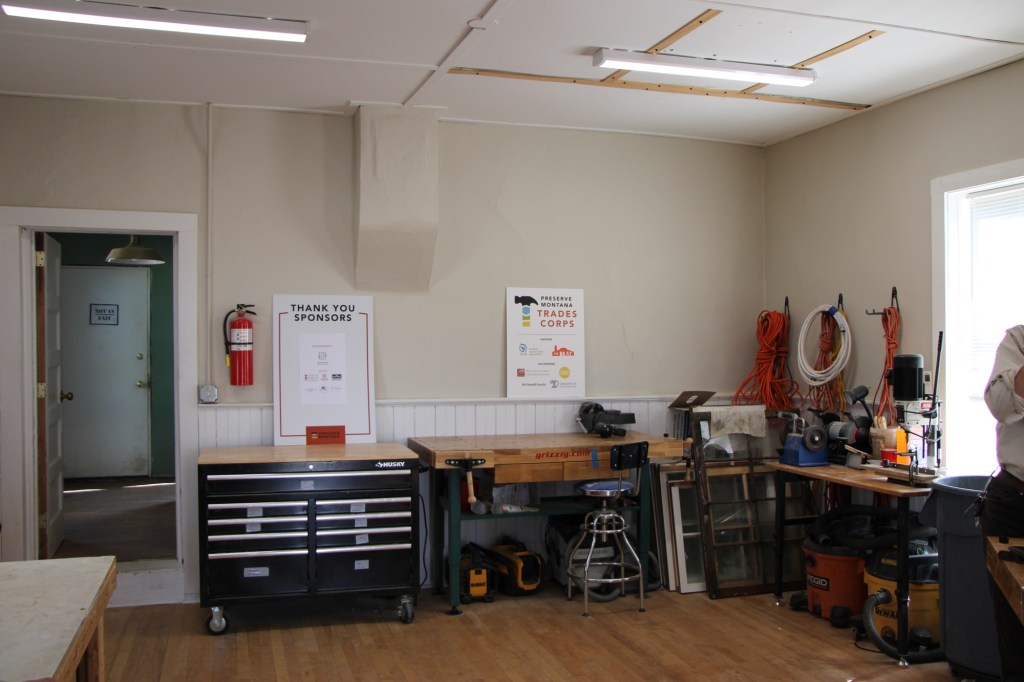
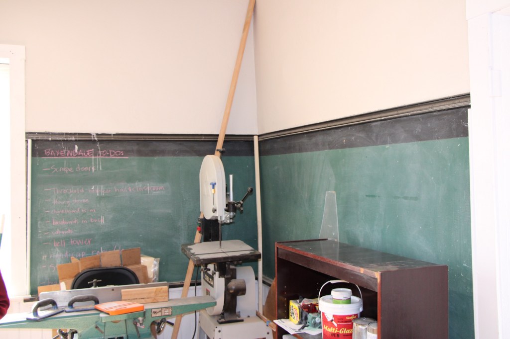
But Preserve Montana wanted to do more than advocate for preservation. I wanted to demonstrate how to give these buildings new lives. In 2019 it acquired the Baxendale School, moved it to the outskirts of Helena, and began to use it as a hands-on training center for the repair of older buildings.

School interior in 2025
School in 2025

I was able to see the progress up close in the fall of 2025, and came away impressed with the progress and plans for next steps.

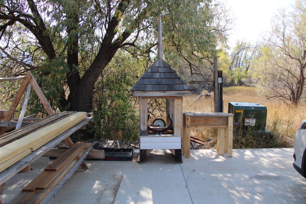
The support from the Foundation for Montana History will help complete the exterior restoration. What a productive partnership between the Foundation and Preserve Montana!
Huntley School, U.S. Highway 2 Landmark

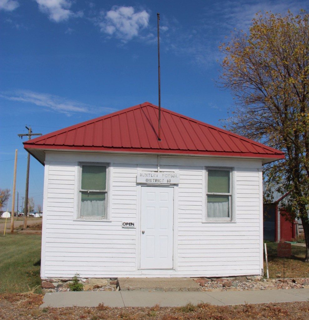
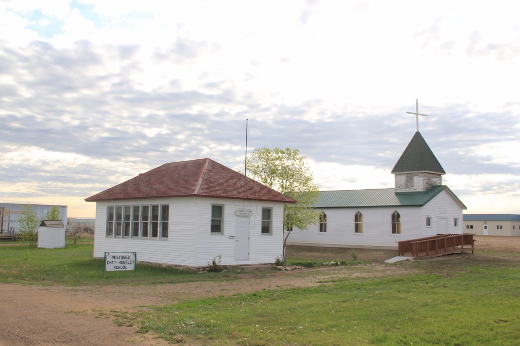
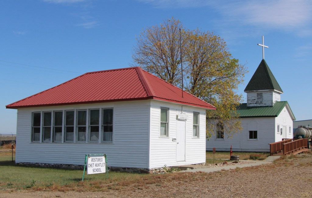
One of the oldest historic preservation projects along Montana’s U.S. Highway 2 route is at Saco. In 1961, the Saco Garden Club moved, restored, and interpreted the 1916 Huntley school, which once served homesteaders in Phillips County. Their efforts came five years before the landmark National Historic Preservation Act and the creation of the National Register of Historic Places.

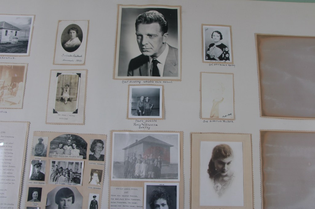
Why this school and why in 1961? The answer lay with one of the school’s primary students, Chet Huntley. His father had earlier donated the land for the school, thus it was given the name of Huntley. In 1961, however, Chet Huntley was a national news icon, part of NBC Network’s Huntley-Brinkley Report.

Tiny Saco had a direct connection to one of the most famous newscasters in America. The show, with Huntley reporting from New York City and David Brinkley reporting from D.C., began in 1956 and continued on air until 1970.

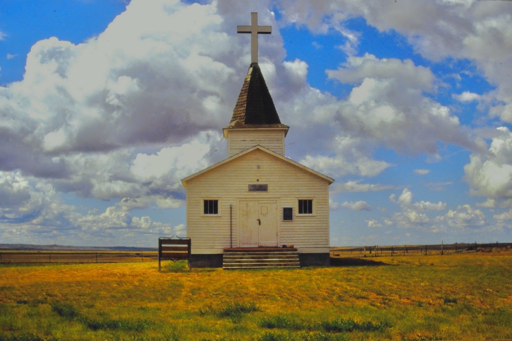
Sometime between 1988 and 2013, the Saco Garden Club added another historic building to their site. 1n 1988, the Immanuel Lutheran Church stood to the east, outside of Sleeping Buffalo Hot Springs (below).

By my next visit to this corner of the state, the building had been added to the Huntley site.

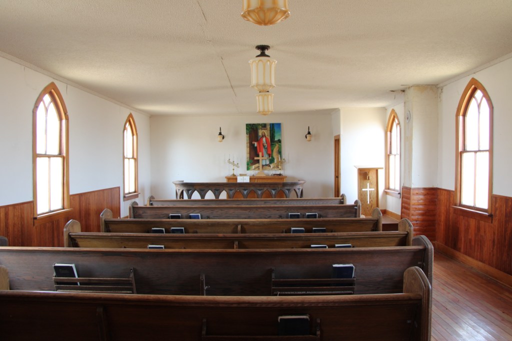
Like the school, the church is well preserved and maintained, particularly its compelling and beautiful interior.

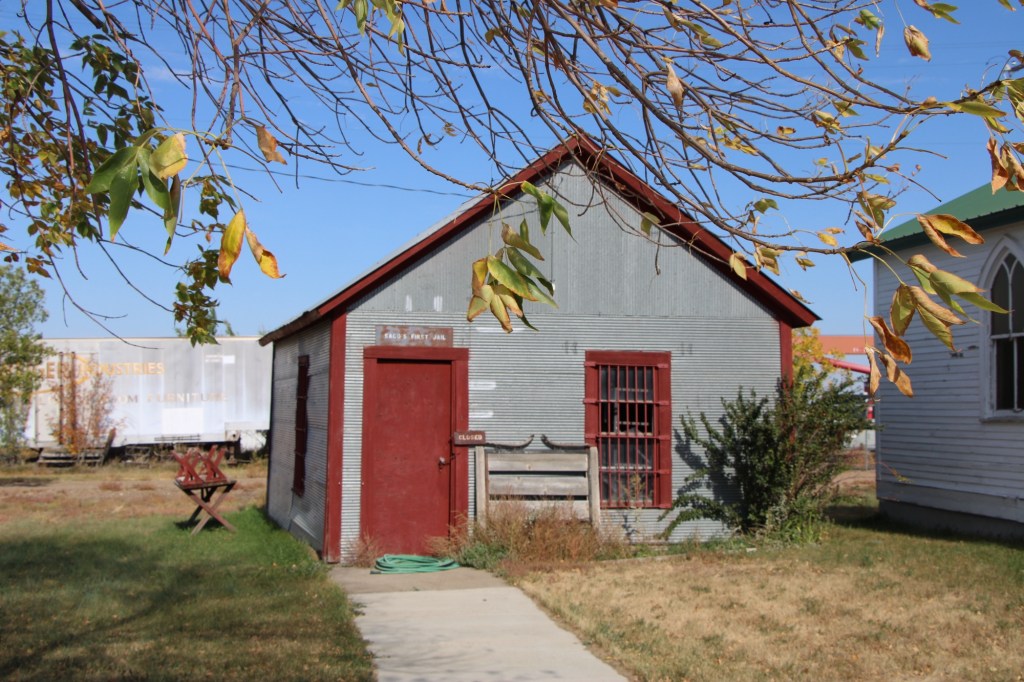
When I visited Saco again in the fall of 2025 I found a third historic building, the first Saco Jail, added to the site.

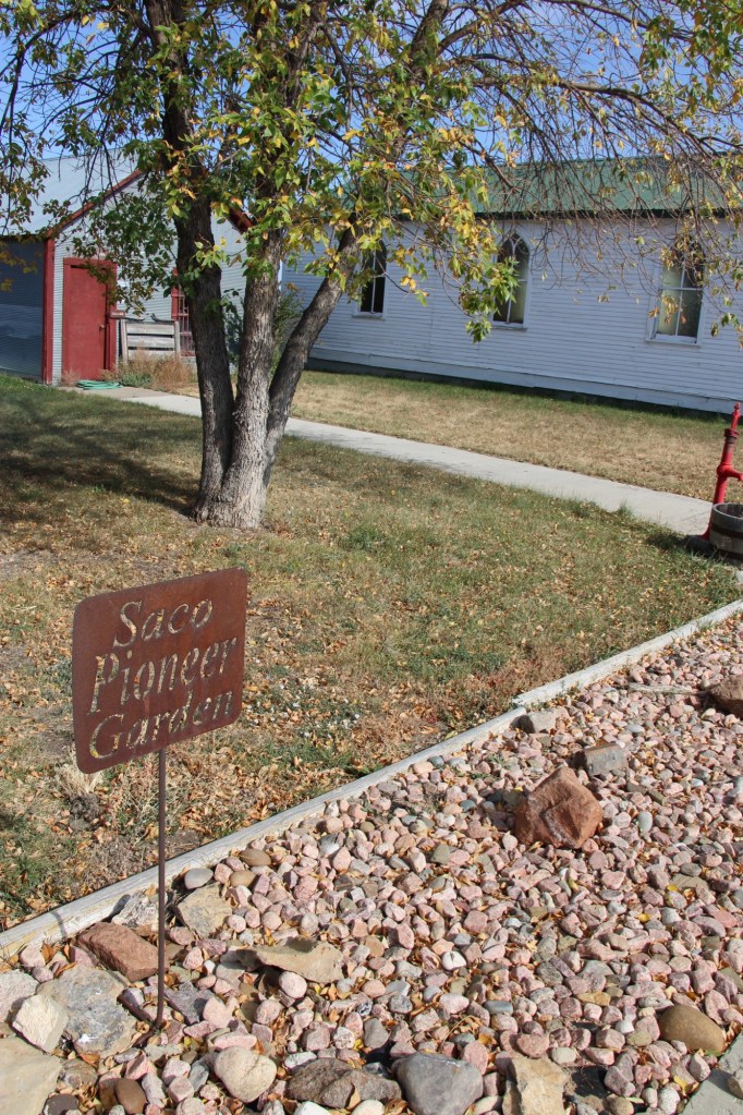
Plus the Garden Club had installed new landscaping and a sidewalk tying together the properties by the Saco Pioneer Garden.

The efforts made by tiny rural communities across Montana to preserve their history and to share their stories never ceases to amaze. The Huntley School is one of the most impressive landmarks along the Hi-Line, and a reminder of the role of women in the state’s historic preservation traditions.

Craig, from railroad stop to Fish Town

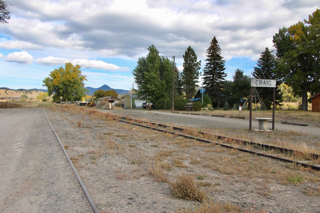
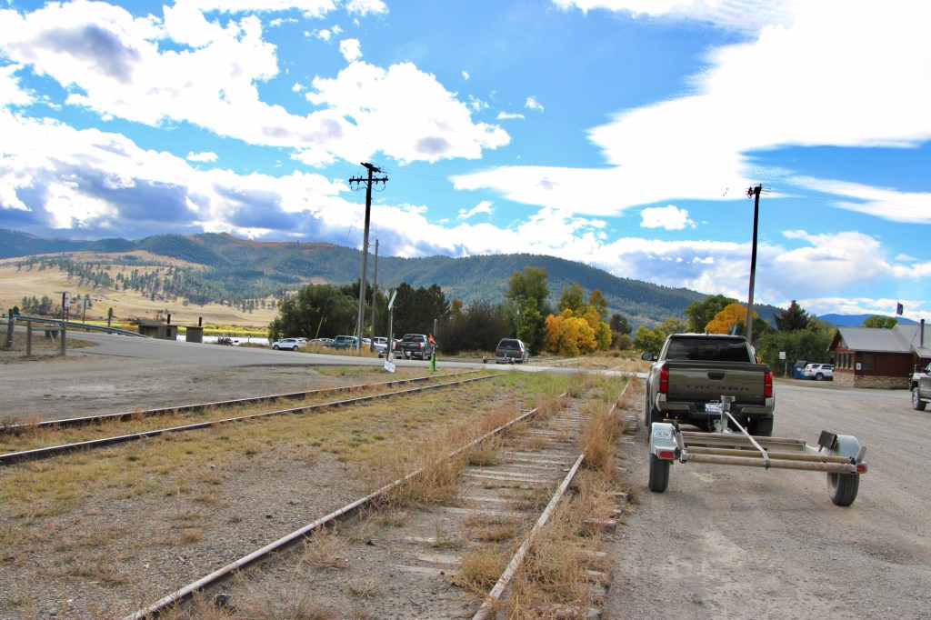
As the Missouri River winds its way into the mountains of Montana, one of my favorite stops for 40 years is the town of Craig. Ben Stickney was the first to farm here in the 1870s. He and Frank Wagner also established a ferry crossing. Other early settlers were Warren and Eliza Craig who platted a townsite named Craig once the construction of the Montana Central Railroad between Great Falls and Helena was finished in late 1887. By 1890, the town had 77 residents.

The story of Craig in its early years was all about the railroad corridor, with houses and businesses arranged on either side of the tracks.

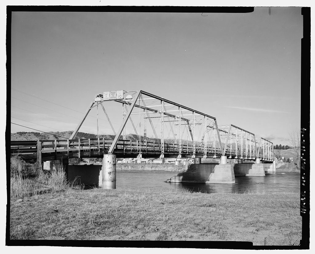
The Missouri River defined the east side of town as it closely paralleled the tracks. Then in 1902-1904 came the construction of a steel bridge, which replaced the ferry.

The Craig Bridge, c. 2002. Photo by Jon Axline, Montana Department of Transportation. The bridge was demolished c. 2004.

The bridge made Craig a crossroad town but it never grew that much in the next decades.

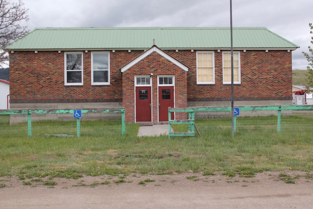
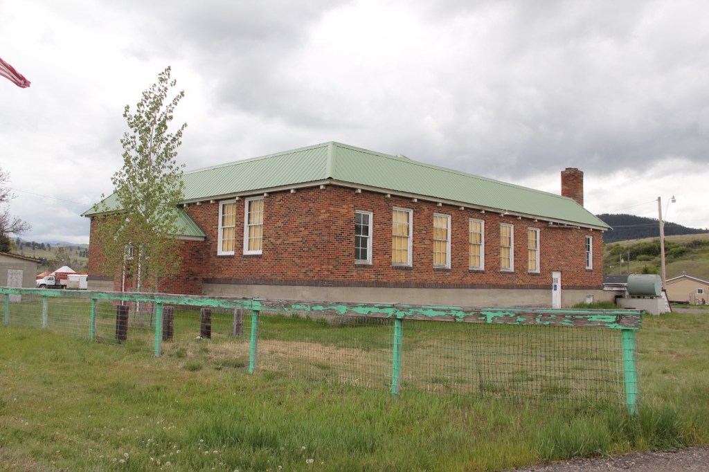
When in the 1930s the state constructed its section of U.S. Highway 91, the improved transportation led to the growth of the local school, which closed in the 21st century and now serves as a community building.

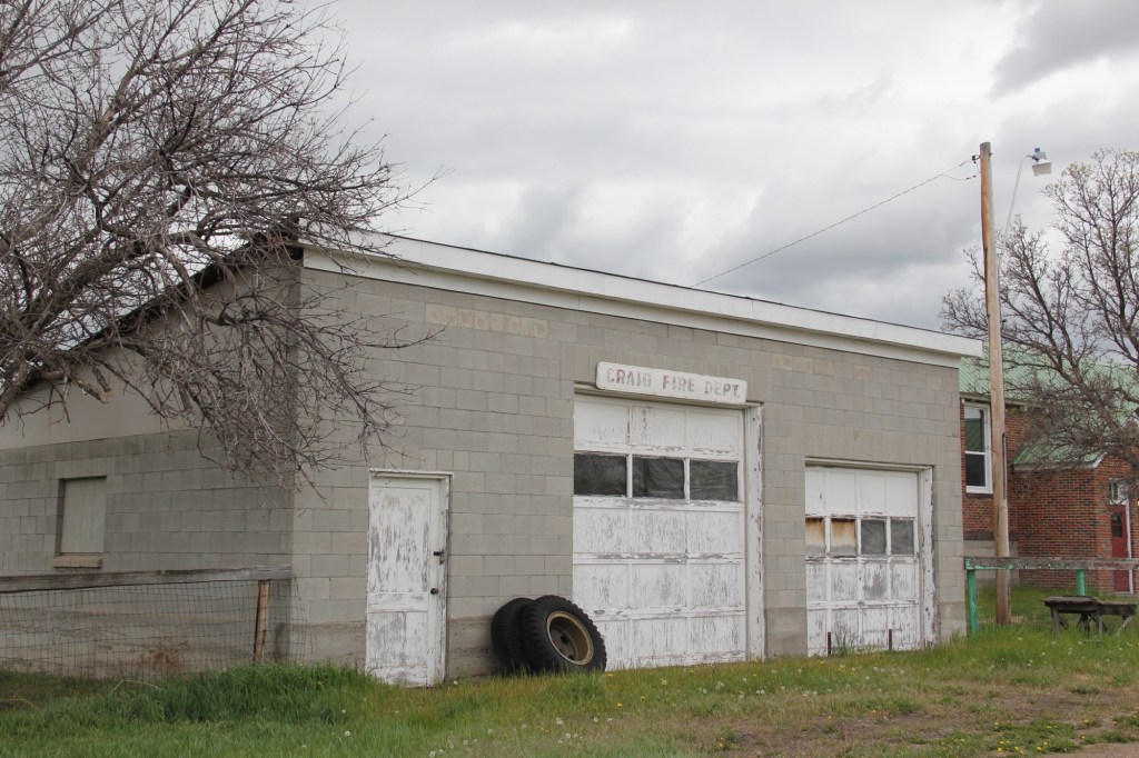
Residents also established a volunteer fire hall next to the school.

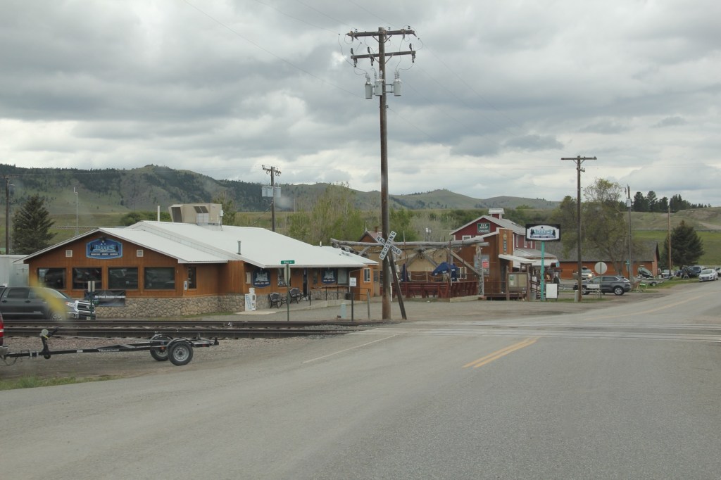
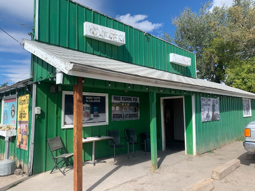
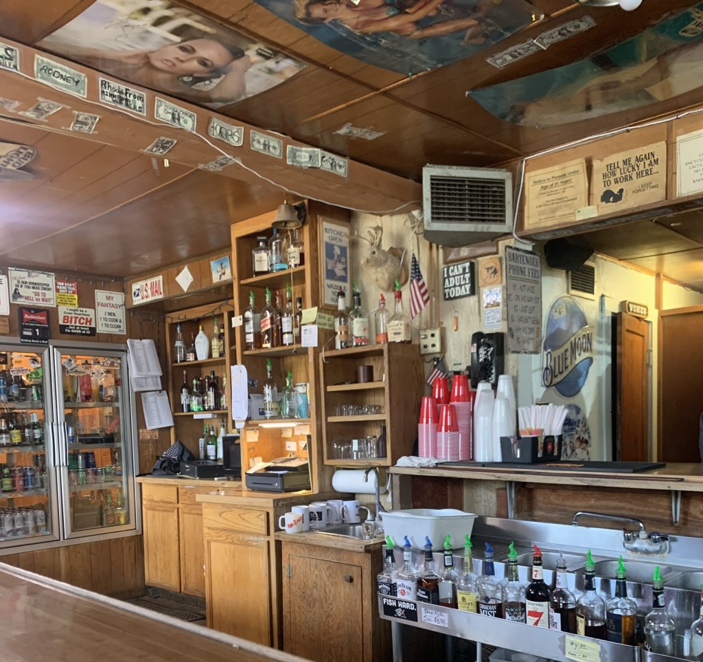
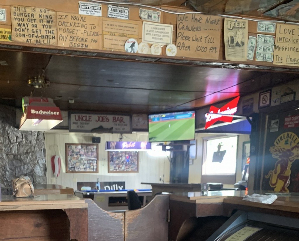
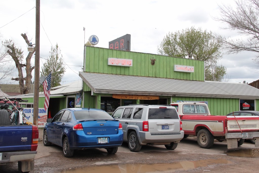
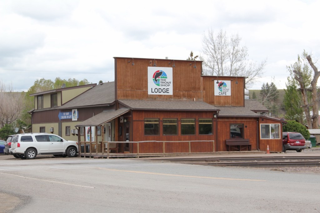
At the time historian Jon Axline documented the steel bridge c. 2002, he noted that Craig had only a bar and a fishing shop. There was not much else left. The Craig Bar is still there if you want a throwback small town bar experience.

Craig Bar on a busy day in 2015

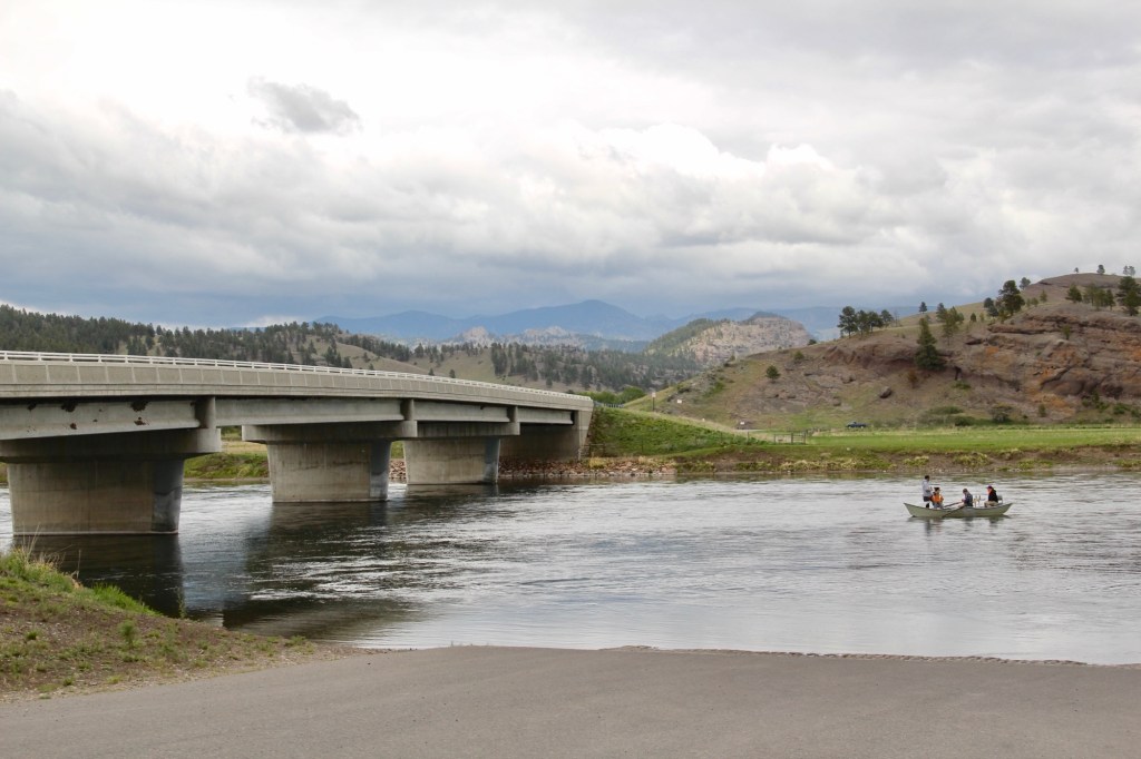
An almost totally different Craig has emerged since the construction of the concrete bridge 20 years ago. New businesses that cater to the ever-growing fly fishing industry are everywhere it seems. Floaters and fisherman crowd the landing on weekends and in the summer.

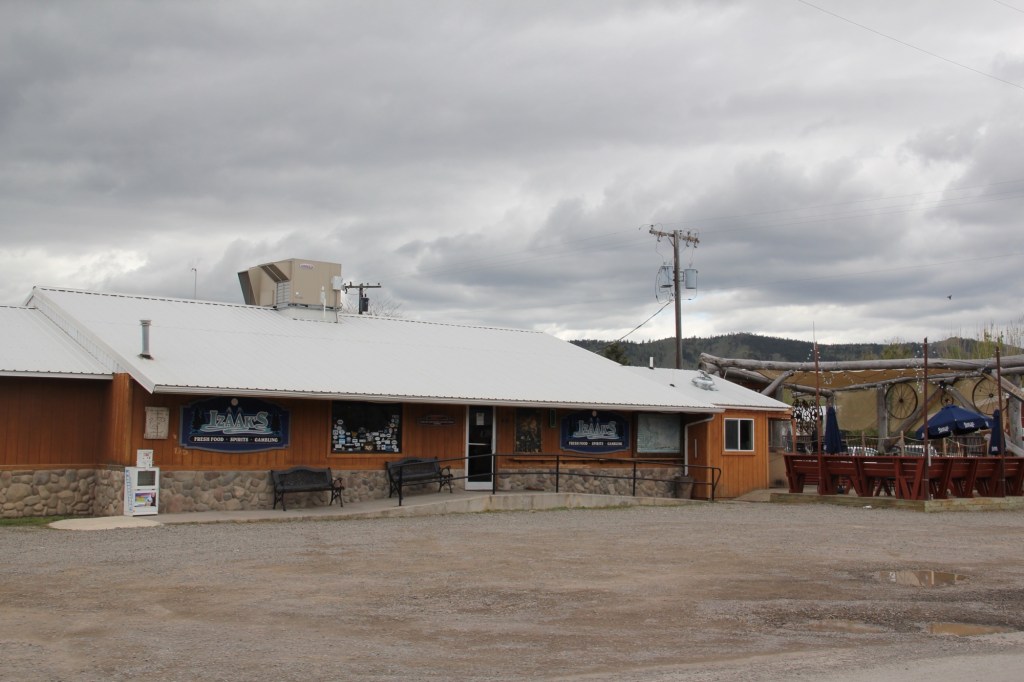
Izaak’s is a popular bar and grille
The new taphouse caters to a different clientele than the older Craig Bar

Big Sky Journal has nicknamed Craig as Fish Town, a “quintessential fishing village” on the Missouri River. Fishing and recreation now have replaced its earlier reputation as a transportation crossroads in the Missouri River Canyon. And the concrete bridge is like a slash across the river compared to the beautiful steel trusses of the first bridge.

Big Timber and suburban aesthetics

Readers of this blog on Montana’s historic places will see that, clearly, Big Timber is one of my favorite railroad towns of the Yellowstone Valley. Its classic T-plan is one reason why. The top of the “T” runs roughly along the river and railroad tracks, facing the Crazy Mountains, while the stem of the “T” becomes the town’s Main Street, as you can see above.

Big Timber school in 2014

Distinguished one and two-story historic buildings along Main Street and scattered throughout the town are among the other reasons I enjoy Big Timber. The fate of of one of those places is the theme of today’s post.

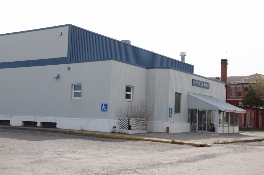
I have earlier talked about the town’s three primary public spaces (the courthouse, the school/library, and the Sweet Grass Mill park at the south end of Main Street.) The second oldest space is defined by its historic school and the adjacent Civic Center (which also served as the school’s gym) and the Carnegie Library, which was expanded last decade.

Civic Center in 2014. Note the rear of the school in the far right side of the image
Expanded Carnegie Library, 2021
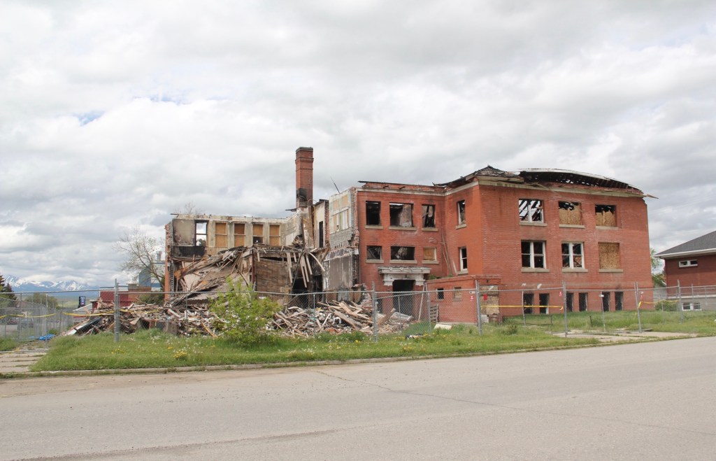
School after fire, taken in 2018

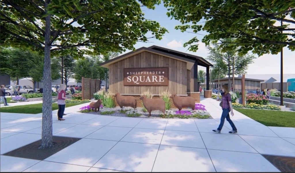
After the disastrous fire of 2017 that destroyed the school, the future of this public space was left in doubt. Here at the end of 2025 an answer has been presented—a new outdoor space called Sheepherder Square, designed by a Bozeman-based architectural firm. A foundation has been established to support the project and fundraising is underway.

The square will be an open space with an amphitheater and other amenities that link the library and civic center. The rendering above, from the Helena Independent Record website, shows a lot of concrete walkways, perhaps too much of a suburban aesthetic for a western railroad town. Will it compete with/ replace the Sweet Grass mill park? How will it blend with pedestrian traffic at the library and the Main Street business district?

This envisioned transformation of an empty lot will be interesting to monitor over the next year or two. Is the look and feel of Big Timber headed in the right direction?

Revisiting Nashua in Valley County in 2025

It had been over a decade since I last stopped in late September 2025 at the tiny railroad town of Nashua in Valley County. Recently in the state and regional press, there have been stories about the uptick in tourism in northern Montana. It’s about time, especially for intrepid heritage tourists. As my posts from over ten years ago emphasized, an amazing array of stories and places await those who venture beyond Havre on U.S. Highway 2.

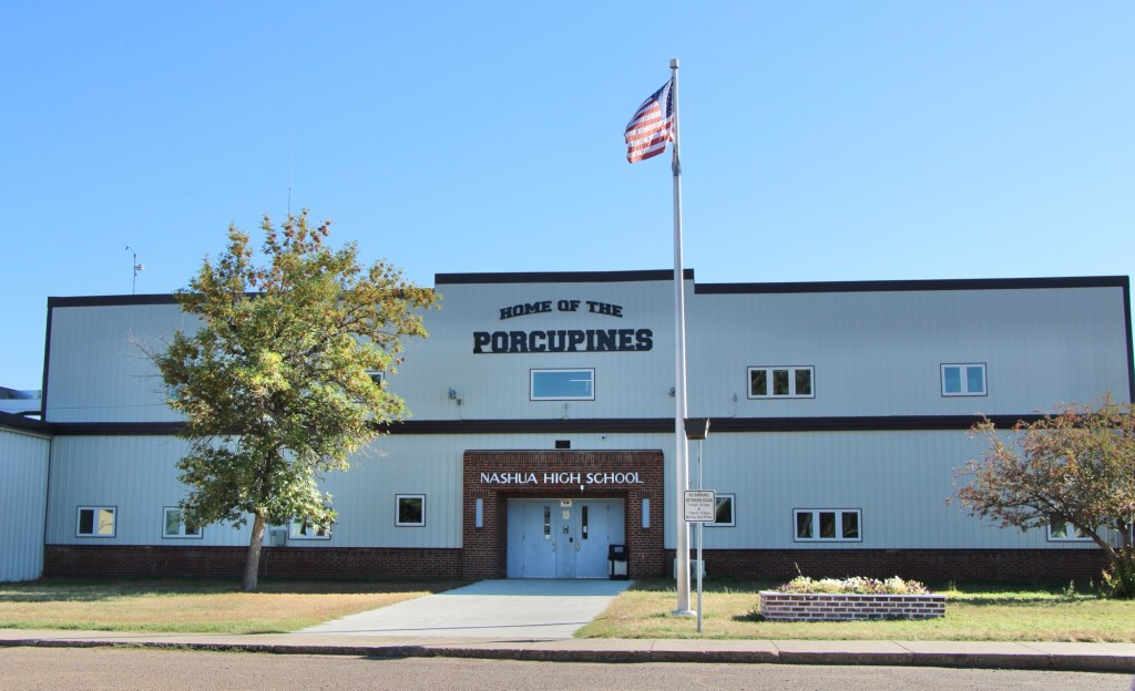
Even tiny Nashua (probably less than 300 residents today) reflects virtues worth exploring—community pride especially as reflected at the recently renovated Nashua High School, above. Since the town had lost population since my last visit, I had wondered if the school was still there as an anchor. Indeed it was, and looked almost modern as its 1935 core from the New Deal had been layered over with a new facade.

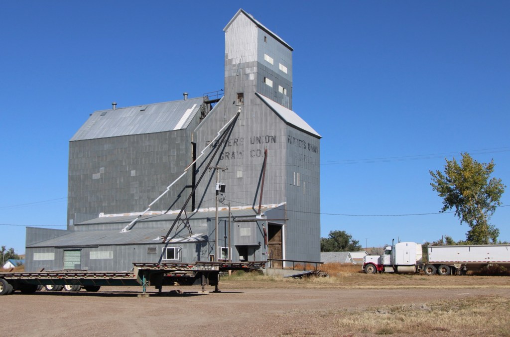
The railroad was the dominant influence in the town’s history—save for the 1930s boom during the construction of nearby Fort Peck Dam—and the town’s rail corridor is still defined by its grain elevators.

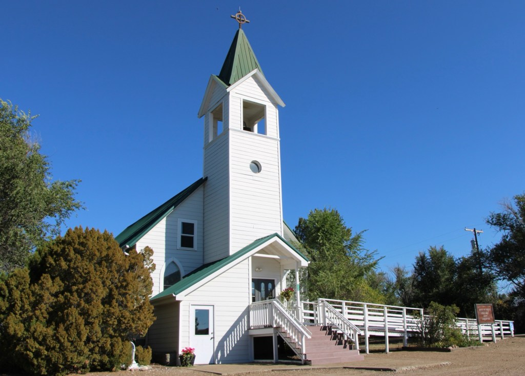
Queen of Angels Catholic Church

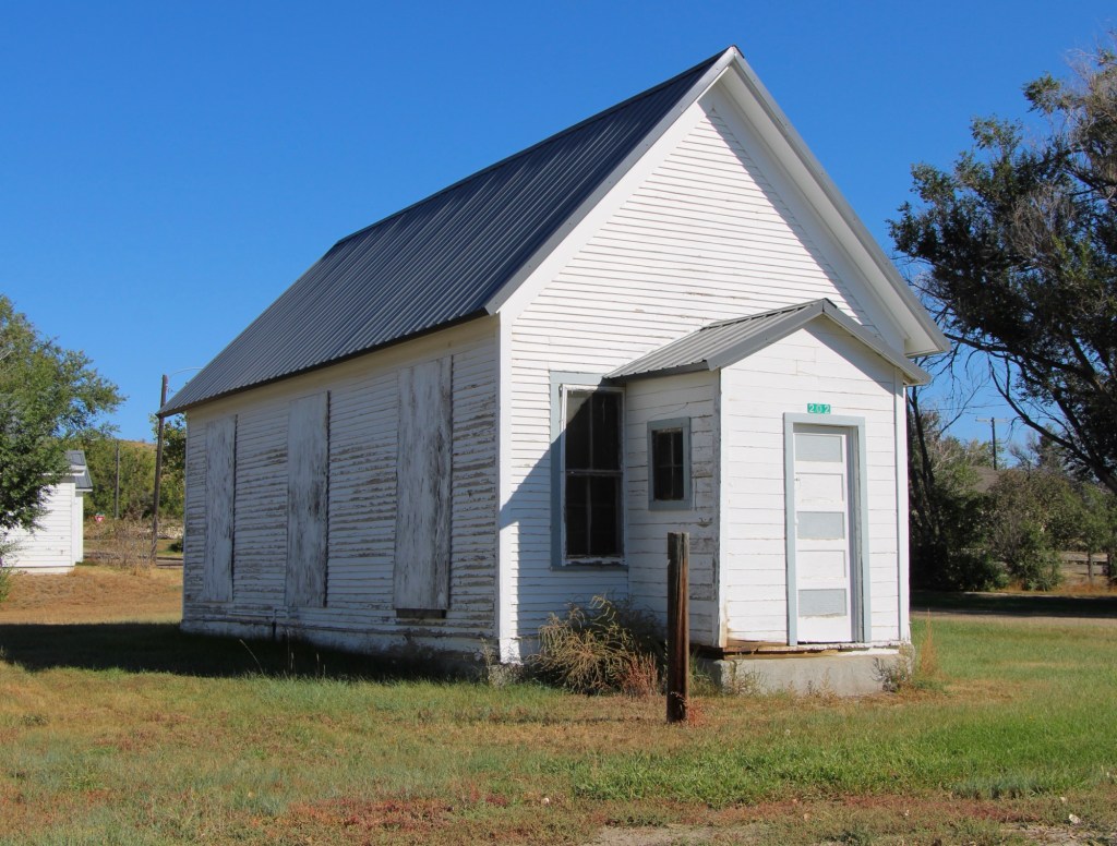
Competing for the Big Sky line of Nashua is the tall Gothic style bell tower of the Catholic Church. Established in 1917, Queen of Angeles Catholic Church began as a mission church. The Sisters of Charity worked with the diocese to establish an adjacent one-room school, below, as a way of growing and maintaining the congregation after the end of the Fort Peck Dam boom.

Then in 1953 Rev A. J. Schuh wrote an appeal to The Catholic Worker, a major newspaper, asking for the support for the construction of a rectory so that a more permanent foundation for the church’s work in Nashua could be laid. I had no idea if the appeal worked or not—but something happened. Queen of Angels Catholic Church was in great condition, and a major town landmark.

Front Street, Nashua

Along the old highway route was another landmark, of a quite different purpose: Vic’s Bar and Bowling Alley. Here is the private social center for the town. Great rural Montana towns always have at least one traditional watering hole. Vic’s is that place in Nashua.

Victor Dostert (1886-1961) homesteaded south of the town along the Milk River during the boom of the 1910s but when the bust came in the 1920s Dostert, his wife Anna, and their three sons stayed, making their mark with construction projects (from a theater to the Catholic Church) and taking advantage of the thousands of construction workers passing through by building and operating Vick’s Bar in 1935. He added the bowling alley in the 1950s—a decade when the bowling craze as a community institution reached its peak across the nation.

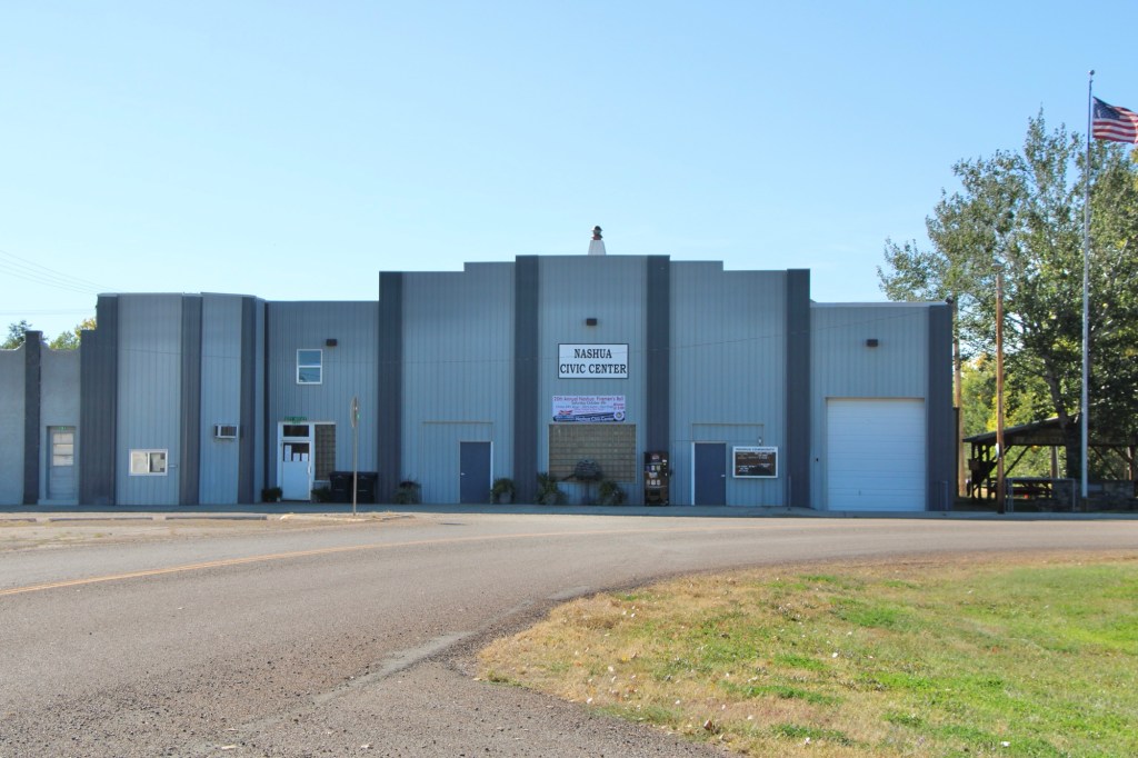
Dostert as Nashua’s town official had already been instrumental a few years earlier in the creation of the Nashua Civic Center, the public community center for this part of Valley County still today.

These places and brief stories hint at the richness of heritage experiences in Valley County. I’m glad I stopped at Nashua again (just too bad that it was early in the morning and Vic’s Bar was not yet opened). But give the residents much credit—they hung through another tough decade through commitment, community spirit, determination and faith.

A bit more on Wilsall

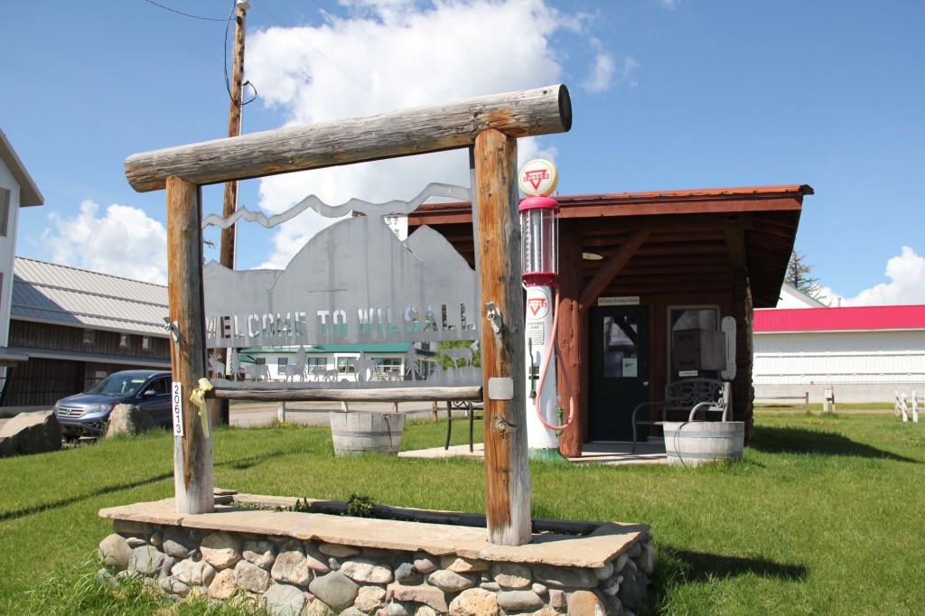
As readers of the blog know, the Shields River Valley is one of my favorite places in Montana. A good place to start any exploration is the village Wilsall, which, from my perspective, is close to a lot of larger towns and population but, then, also thrives quite well in its own.

The town’s past lies with the cattle ranch of Will and Sally Jordan—thus the same Wilsall—and the building of a spur line by the Northern Pacific Railroad in 1909, and the homesteading boom in northern Park County. The historic grain elevator is one potent reminder of both the railroad and homesteading. The tracks ran to the west of the present US 89 highway.

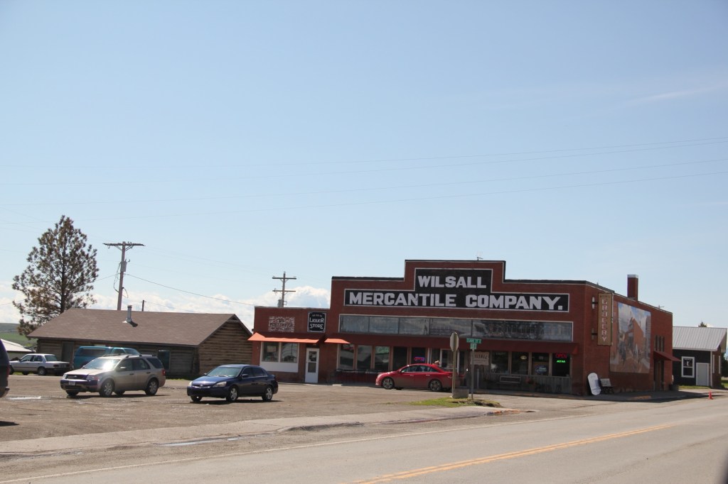
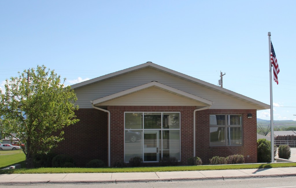
By 1910, the place had a post office; a modern one stands along the highway while an older one is attached to the mercantile building.

Soon the town’s primary crossroads at Elliot and Clark streets was defined by an impressive classical style bank on the west side and a large brick mercantile store on the east side.

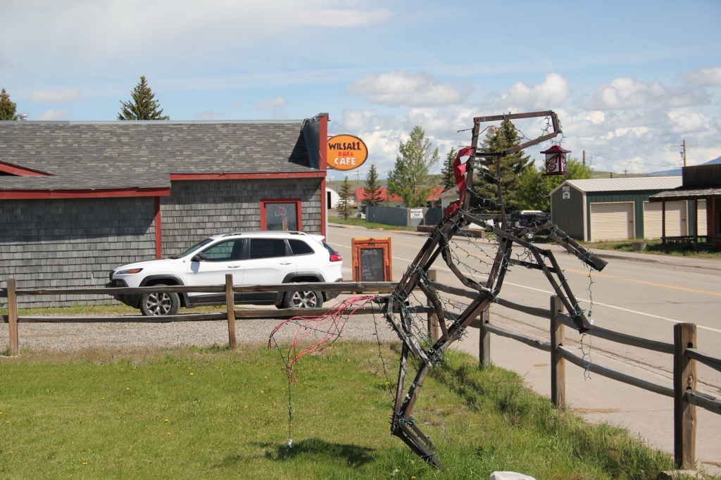
The Bank Bar in fact has recently been in the news because, guess what, national media has again “discovered” a great Montana eatery—

something that locals have known about for years. Maybe the review will get more people to slow down a bit and look around.

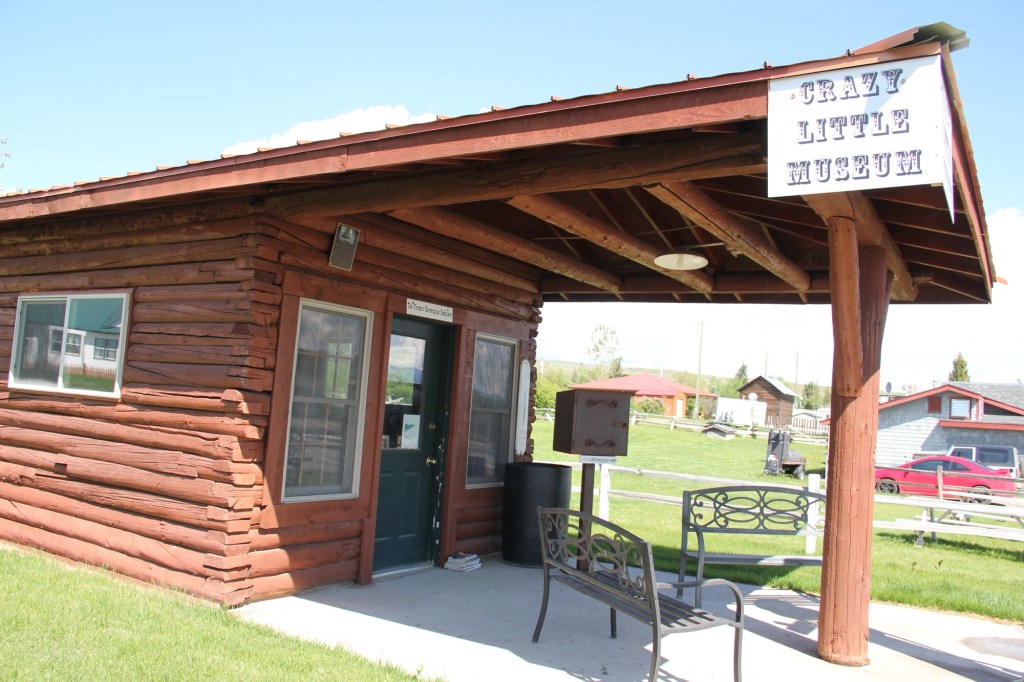
The stop is worth it, not just for a cold brew and perfect burger, but for the town’s Crazy Little Museum (also called the former Norwegian Embassy). It’s always refreshing when a place has a good perspective on itself and honors a person like Bob Tomasko who did a lot for the town before his death in 2012.

Historic community buildings survive such as the school from the 1910s, now boarded up.

And the town community hall, which remains in use even as the population has dwindled from 237 in 2000 to under 200 in 2020.

US Highway 89 is one of my favorite north-south routes in Montana stretching into Wyoming. I always look forward to my next visit to Wilsall.

Medicine Lake, the place and town in Sheridan County

Montana Highway 16 stretches north from U.S. Highway 2 following a spur line of the Great Northern Railway laid about 1910. Following that railroad corridor first brought me to Medicine Lake, the actual lake and town of that name in February 1984.

Great Northern depot in 1984

When I returned over thirty years later, the depot was gone, but the lake and town were doing ok.

Depot is gone today

Medicine Lake is a very important place in northeast Montana and the 8,000 + acre lake has been protected as a National Wildlife Refuge since 1935.

Medicine Lake NWR
Medicine Lake NWR

Native Americans for centuries visited and hunted here, as hundreds of tipi rings along the lake bluffs documented. The lake remains a touchstone for several tribes today.

Medicine Lake, MT

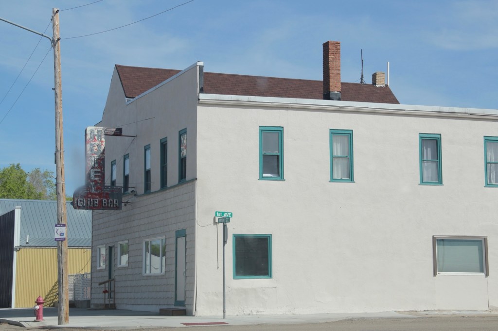
The town is much more recent, established by the railroad in 1910, with the iconic Club Hotel and Bar in business within a year.

I have stopped at the Club Bar where the old neon sign was a bit weathered but hospitality was everywhere. Don’t know about the hotel—maybe rooms was still used during the hunting season.

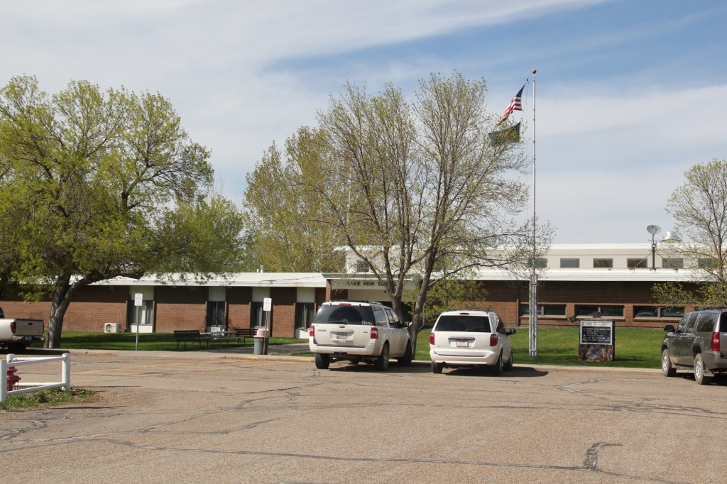
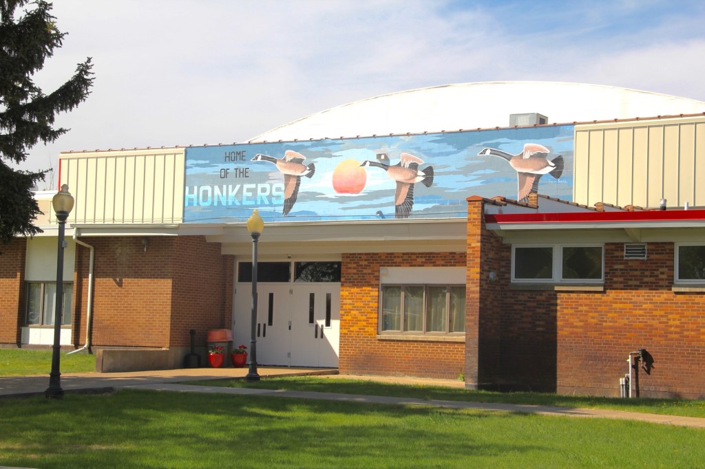
The Medicine Lake K-12 school keeps the town of about 250 people together but since my last visit the school lost its distinctive mascot name of The Honkers. For sports the school has merged with Froid and took us nickname of Red-Hawks. Did that mean that town gathering spot would change its name from the Honker Pit? Absolutely not. Great place!

Medicine Lake, the town, has several buildings from its first generation of settlement, including a corner gas station (adapted into a new business) and classic false-front one-story commercial buildings, including a lumber business and a hardware store.

Yet a dwindling population has hurt the business core. For 40 years between 1940 and 1980 the town’s population stayed around 400. The next 40 years witnessed a decline—and in a small town a loss of 150 people can really hurt.

But the town began a slight rebound in population in between 2010 and 2020, with some of it fueled by fracking man-camps

The bones of an early 20th century homestead town are still there. I hope to visit again and see new changes in 2025.

Whitetail: almost another Soo Line ghost town in northeast Montana

Town sign 2013

I last visited Whitetail ten years ago. Established along the Canadian-based Soo Railroad line a century earlier, the town was in a free fall, from a height of 500 c. 1920 to a handful of families in 2010. Then the Canadian, then the U.S. government closed the border crossing between 2011 and 2013. Now the town is down to a population of nine in 2020. God bless those still there, doing what they can.

The school building tells much of the story. Built when hopes for the town were high in the 1920s, it’s two-story height and bell cupola made it a landmark in the flat open terrain. I hope when I visit next, the school is there, a silent statement of the dreams with which our high plains were settled.

Secure in its concrete base, the old school bell, removed 50 years ago, is still there to ring, or so I can hope.

The community church, still a gathering place or has it gone the way of the Catholic Church, moved to the Daniels County Museum in Scobey?

Grain Company Building
Gas station and Garage, 2013
Abandoned businesses, 2013
A metal facade and open door marked what was left of the Whitetail Theater.

Businesses were largely gone ten years ago. But the post office and grain elevators remained. I bet the elevators are still there serving ranch families but you wonder about the post office.

Whitetail in Montana’s northeast corner is as far removed from Whitefish in Montana’s northwest corner as two places could ever be. They both began as railroad towns. One didn’t make it; the other thrives.

Abandoned home at Whitetail

But what’s been lost at Whitetail tells as much about history as what has been gained in Whitefish. You cannot understand Montana history without both.

Soo Line corridor at Whitetail

Montana in Black and White

In doing the photography for the 1984-85 survey for the State Historic Preservation Office, everything was in Black and White, both for the stability of black and white negatives but also for the cost—color slides were expensive. Thirty plus years later, it’s totally different. Everything is digital and only a few places will even process black and white film.

But I have continued to take a few rolls of black and white film on my recent work in Montana. Here are a few images to share.

The older US 2 route into Cut Bank features this wonderful piece of roadside sculpture. And back in 1984 the Glacier Gateway Inn was the place to stay.
Frank Little Grave in Butte. The starkness and shadows of black and white film is perfect for cemetery work, as this famous grave at Mountain View Cemetery shows.
The same is true for Anaconda’s historic cemetery. As I have said in earlier posts, this place is one of the state’s most compelling places. I can explore there all day long.
Love the decorative iron work on the gate and entrance to the Knights section at Anaconda
Ghost towns from either the mining or homestead eras always leave buildings that just seem to say more in black and white. Here we are at Barber on US Highway 12 in central Montana.
Abandoned schools that become lonely landmarks of hopes crushed: Buffalo, Montana