

It has been five years since I revisited the historic built environment of northeast Montana. My last posting took a second look at Wolf Point, the seat of Roosevelt County. I thought a perfect follow-up would be second looks at the different county seats of the region–a part of the Treasure State that I have always enjoyed visiting, and would strongly encourage you to do the same.

Grain elevators along the Glasgow railroad corridor.
Like Wolf Point, Glasgow is another of the county seats created in the wake of the Manitoba Road/Great Northern Railway building through the state in the late 1880s. Glasgow is the seat of Valley County. The courthouse grounds include not only the modernist building above from 1973 but a WPA-constructed courthouse annex/ public building from 1939-1940 behind the courthouse.

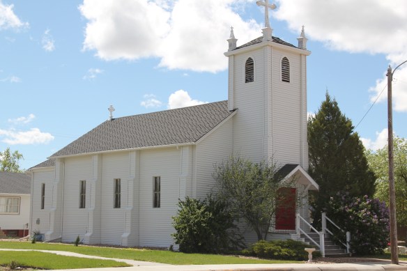
The understated WPA classic look of this building fits into the architectural legacies of Glasgow. My first post about the town looked at its National Register buildings and the blending of classicism and modernism. Here I want to highlight other impressive properties that I left out of the original Glasgow entry. St. Michael’s Episcopal Church is an excellent late 19th century of Gothic Revival style in Montana.
The town has other architecturally distinctive commercial buildings that document its transition from late Victorian era railroad town to am early 20th century homesteading boom town.
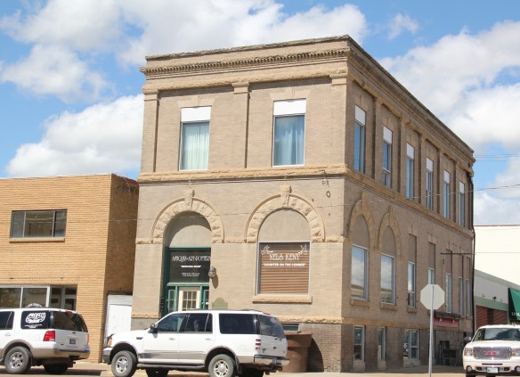

The fact that these buildings are well-kept and in use speaks to the local commitment to stewardship and effective adaptive reuse projects. As part of Glasgow’s architectural legacy I should have said more about its Craftsman-style buildings, beyond the National

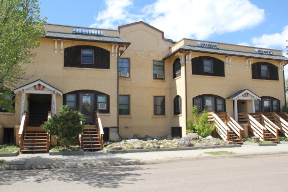
Register-listed Rundle Building. The Rundle is truly eye-catching but Glasgow also has a Mission-styled apartment row and then its historic Masonic Lodge.

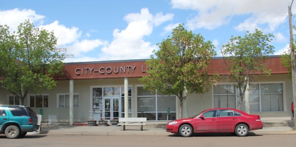
I have always been impressed with the public landscapes of Glasgow, from the courthouse grounds to the city-county library (and its excellent local history collection)
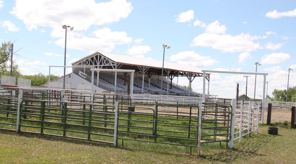
and on to Valley County Fairgrounds which are located on the boundaries of town.

Another key public institution is the Valley County Pioneer Museum, which proudly emphasizes the theme of from dinosaur bones to moon walk–just see its entrance.

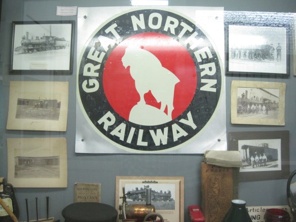
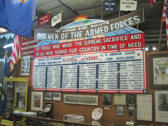
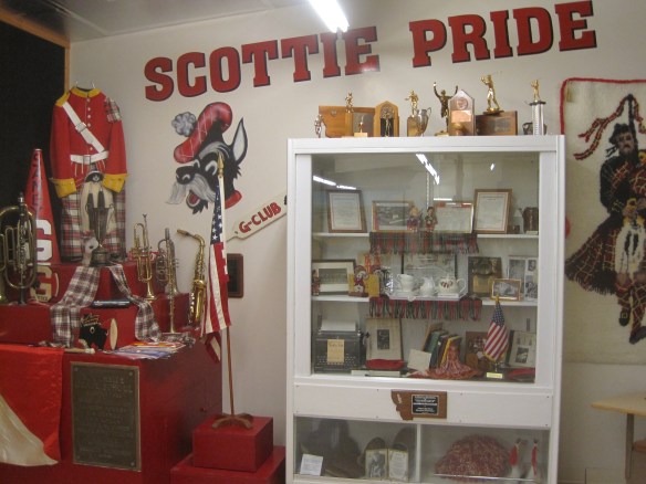
The museum was a fairly new institution when I first visited in 1984 and local leaders proudly took me through the collection as a way of emphasizing what themes and what places they wanted to be considered in the state historic preservation plan. Then I spoke with the community that evening at the museum. Not surprisingly then, the museum has ever since been a favorite place. Its has grown substantially in 35 years to include buildings and other large items on a lot adjacent to the museum collections. I have earlier discussed its collection of Thomas Moleworth furniture–a very important bit of western material culture from the previous town library. In the images below, I want to suggest its range–from the deep Native American past to the railroad era to the county’s huge veteran story and even its high school band and sports history.


A new installation, dating to the Lewis and Clark Bicentennial of 2003, is a mural depicting the Corps of Discovery along the Missouri River in Valley County. The mural is signed by artist Jesse W. Henderson, who also identifies himself as a Chippewa-Cree. The mural is huge, and to adequately convey its details I have divided my images into the different groups of people Henderson interprets in the mural.


The Henderson mural, together with the New Deal mural of the post office/courthouse discussed in my first Glasgow posting (below is a single image of that work by Forrest
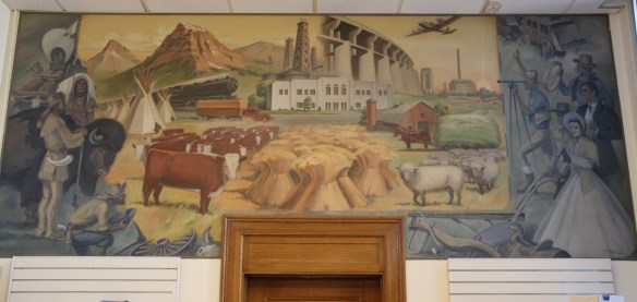
Hill), are just two of the reasons to stop in Glasgow–it is one of those county seats where I discover something new every time I travel along U.S. Highway 2.


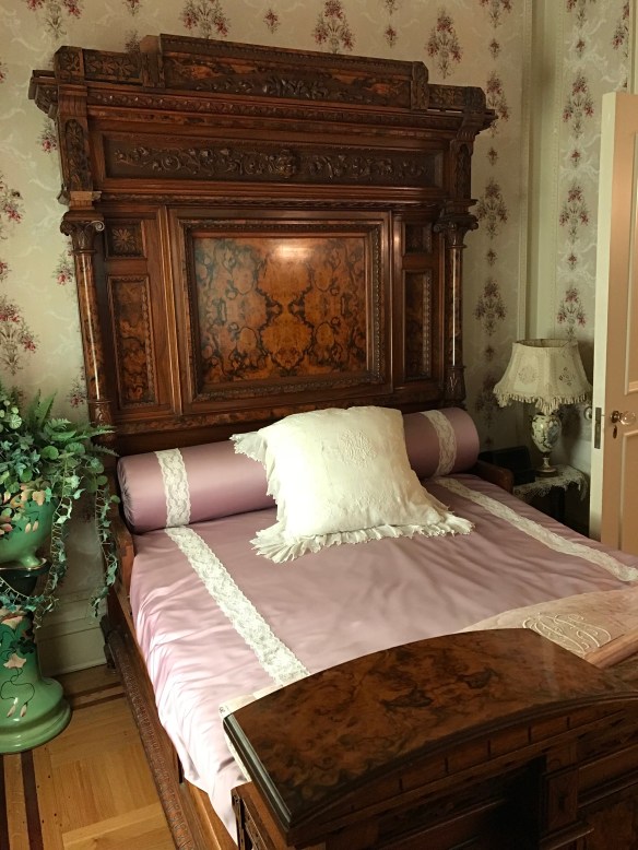

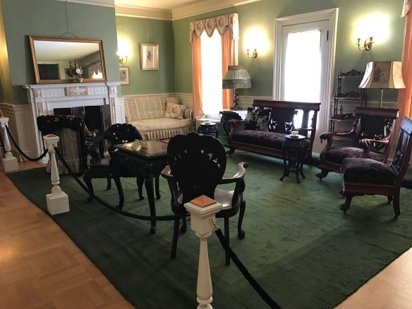


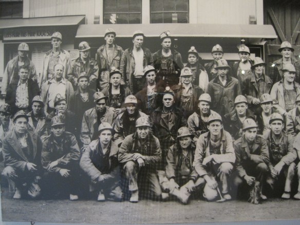
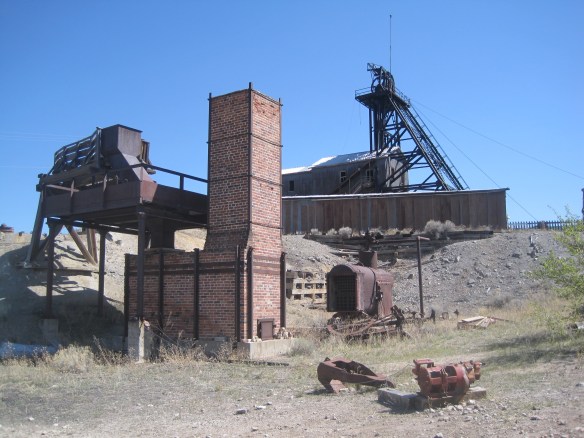


 The Hell Roaring’ Gulch part of the museum is in stark contrast to the mid-20th century engineered, technological landscape of the Orphan Girl Mine. It interprets the mining camp days of Butte from the late 1860s into the 1880s before the corporations stepped in and reshaped the totality of the copper mining industry and built environment of Butte.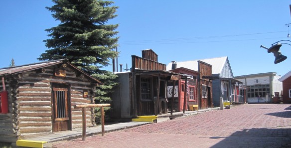


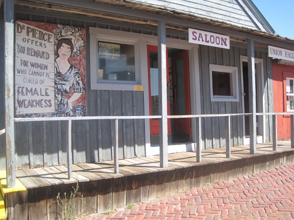
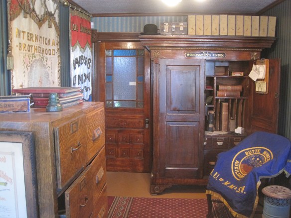 artifacts and banners shown in this photo); the store, which displays common items sought by the miners and their families; and various offices that show the business of
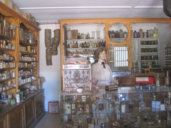 mapping the mines, registering claims, and assaying the metals .
 In my first post about the World Museum of Mining, I addressed this valuable collection of a historic mine, several historic buildings, and thousands of historic artifacts briefly. Properties like the impressive log construction of St. Patrick’s Catholic Church, shown below, are invaluable. The World Museum of Mining deserved more attention, and it deserves the attention of any serious heritage tourist to Montana.


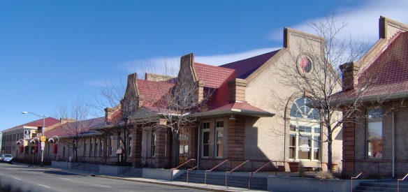 deteriorating in the mid-1980s but a determined effort to save the building and use it as an anchor for the Montana Avenue historic district has proven to be a great success in the 21st century.
 Milwaukee Road depot there, since Harlowtown was such an important place in the railroad’s history as an electric line.








 First came efforts to better interpret the Corps of Discovery and their travels through this section of the Missouri River 15-20 years ago. The theme was Lewis & Clark in the Missouri River Country, but by the 2010s the region’s demanding weather had taken its toll on the installation.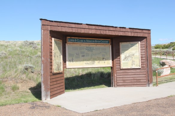


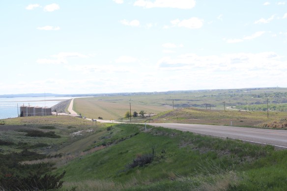
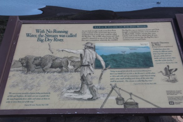 At the lake’s edge are additional markers encouraging visitors to imagine the time before the lake when the Big Dry River often meant exactly what it said–the reservoir keeps it full now.
 New interpretive markers combine with a well-defined pull-off to encourage travelers to stop and think about the loss of life that occurred in building the dam. Many of the massive infrastructure projects of the New Deal have similarly sad stories to tell–but few of them do.
 You can explore the landscape with the assistance of the highway markers to a far greater degree than in the past. Even if today it is difficult to “see” the transformation brought about by the massive earthen dam, there are informative markers to help you.




 My friends in the environs of Helena have been surprised that after 300 something posts I had yet to say anything about Augusta, a crossroads town in northern Lewis and Clark County along U.S. Highway 287, during my revisit of the 1984-1985 state historic preservation plan. They knew that I loved the open range drive to Augusta, whether approaching from U.S. 287 or U.S. Highway 89.
 Then, the various businesses and bars along Main Street represented not just a favorite place in rural Lewis and Clark County, but also document a classic western town with great roadside architecture such as the Wagon Wheel Motel.


 Augusta began as a crossroads town for neighboring ranches; the later extension of a railroad spur to nearby Gilman spurred competition between the two towns. But Augusta
  won that battle–today not much outside of the Montana Highway Historical marker, a steel bridge, and a disappearing railroad corridor remains of Gilman.

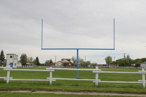
 But I like the football field almost as much as the historic school–could a more neighborhood setting even be imagined?
 Then there are historic commercial buildings from the early 20th century–several with National Register qualities, especially the F. M. Mack General Merchandise store–a frame building with paired bracketed cornice.


 Over 300 people call Augusta home today, a slight increase since my work 30 years ago. The community not only has kept the historic buildings noted above, residents also have opened the Augusta Area Museum–heritage is clearly part of the town’s future.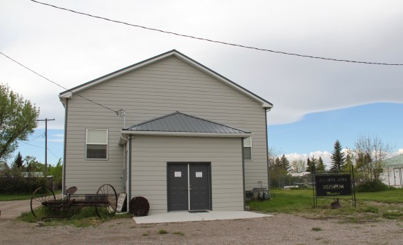
 I love Montana town signs, and Troy, deep in the state’s logging country, has one of the best. The sign lures to a city park nestled along the Kootenai River. The focus point is a


 the Great Northern’s main line, and I documented the few historic buildings left facing the railroad tracks today. The Home Bar (c. 1914) and the Club Bar were institutions then, and remain so today. The Kootenai State Bank building still stands but has experienced a major change to its facade–made better in part by the American flag painted over some of the frame addition.
 The Troy Jail, above, was listed in the National Register of Historic Places in 2006 and it remains the only building so listed in the town today. D.E. Crissey, a local contractor, built it out of concrete in 1924 during Troy’s boom from 1916 to 1926 when its population jumped from 300 to 1300. The Snowstorm mine, which produced lead, zinc, and silver, started to serve the demand for raw materials during World War I. The mine soon turned what had been a small railroad town into a mining camp best known for its brothels and bars. Then in the early 1920s the Great Northern decided to build a division point here, further booming the town. The Sandpoint Pole and Lumber Company began its logging business in 1923, and Troy suddenly was the largest town in the county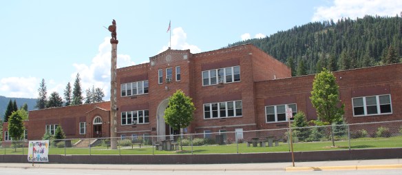




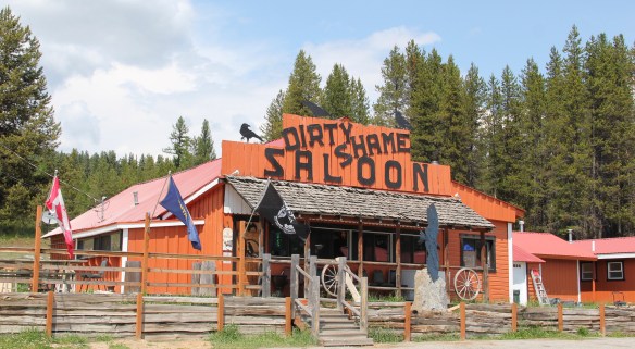


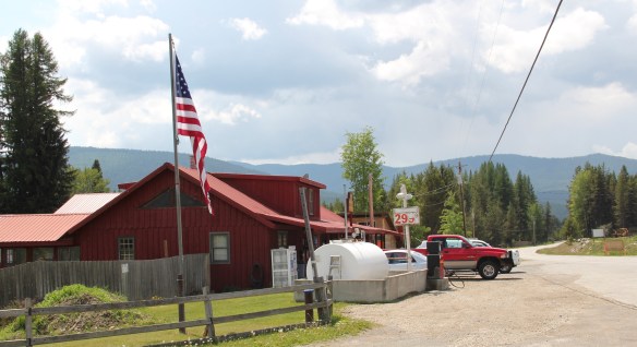
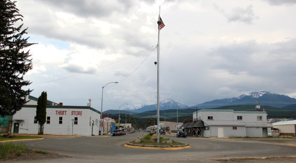 Libby is the seat of Lincoln County, a typical railroad town along the historic Great Northern Railway corridor. The image above is from the town’s railroad depot, the symbolic beginning of town, from which runs a long main street of businesses, reflecting the T-plan town design, where the long railroad corridor defines the top of the T and the main street forms the stem of the T.


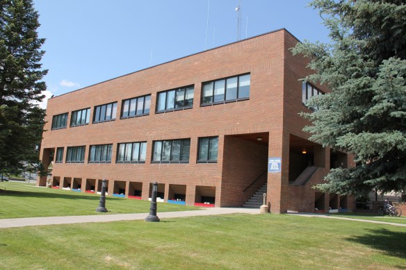
 courthouse received a totally new front, in a contemporary style, in the 1970s as the town and county expanded in the wake of the federal spending in constructing Libby Dam. The rectangular blockiness, flat roof, and band of windows set within a symmetrical facade makes the courthouse one of the state’s best designs for a rural public building in the late 20th century.
 I liked all of those things about Libby in 1984. Imagine my shock and disappointment to learn, as everyone else did, that Libby was one of the poisoned places in the west. In 1919, vermiculite, a natural material that contains asbestos, had been discovered outside of town, and the mines were still operating, producing 80 percent of the vermiculite in the world, under the control of the W.R. Grace company. Residue from the mines had been used in local yards and buildings for decades, a fact that was not known when I visited the town for the state historic preservation plan. When the discovery of the danger became public, and the federal Environmental Protection Agency entered into the fray in 1999, it was already too late for many residents. A federal Superfund project began, and did not conclude its work until 2015, spending some $425 million. Then in 2009 the Environmental Protection Agency announced a public health emergency, spending another $130 million to help residents and to leave a new health infrastructure in place. In a generation, Libby had been turned inside out. EPA announced in 2016 that the cleanup would continue to 2018, and that the project was the longest in the agency’s history.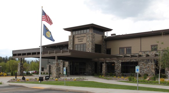
 Despite the disaster, I saw many signs that Libby residents were determined to remain and rebuild their community. One of the most powerful examples is the conversion of one of the town’s historic schools into a new community arts center as well as school administration offices.


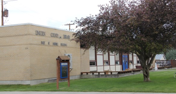
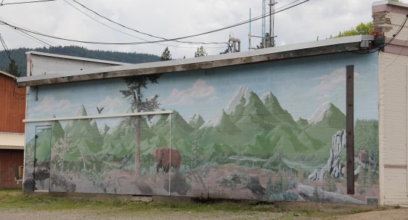
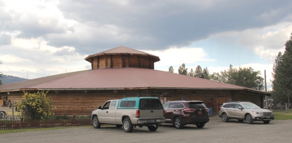 The asbestos crisis was a terrible disaster for Libby–yet residents refused to let it define their future. There are past accomplishments to acknowledge, an active railroad depot to cherish, a beautiful river and lake, the mountains all around, as celebrated in this public art mural on a downtown building. This place is here to stay, and the historic built environment is a large part of it.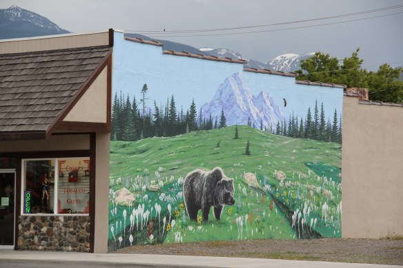
 In my state historic preservation plan work of 1984-1985, Thompson Falls became one of my favorite stops. No one much in the professional field had been surveyed here yet, and then I was particularly interested in how the Northern Pacific Railroad transformed the late territorial landscape. As the image above shows, Thompson Falls was a classic symmetrical-plan railroad town, with a mix of one and two-story buildings from the turn of the 20th century. I focused on this commercial core.
 The public meeting at the mid-20th century Sanders County Courthouse was well attended and most were engaged with the discussion: the pride, identity, and passion those in attendance had for their history and their interest in historic preservation was duly noted. The courthouse itself was not a concern–it dated to 1946 and wasn’t even 40 years old then. But now I appreciate it as a good example of Montana’s post-World War II modern movement, designed by Corwin & Company in association with Frederick A. Long
 Little did I understand, however, that the sparks of a local community effort were already burning–and within two years, in 1986, Thompson Falls had placed many of its key historic properties in the National Register of Historic Places.
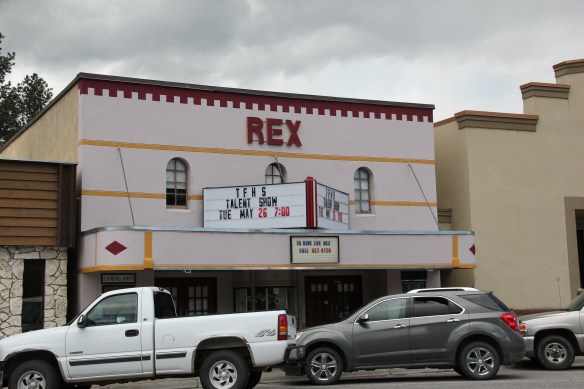
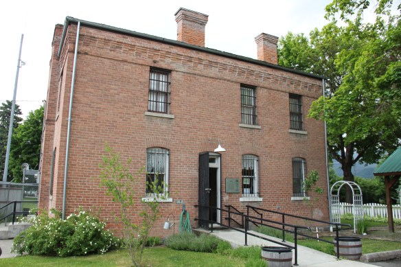 The old county jail (1907) has been transformed into a museum, both preserving one of the town’s oldest properties but also creating a valuable heritage tourism attraction. The contractors were Christian and Goblet, a local firm that had a part in the construction of the town’s building boom once it was designated as the county seat.

 The mid-20th century Sanders County Courthouse is to the west of the commercial core and it marks how the town stretched to the west in the latter decades of the century.
 Along with the conversion of businesses and the adaptive reuse of older buildings, Thompson Falls also has located key community institutions, such as the local library first established in 1921, along Main Street facing the railroad tracks.
 But many community institutions–fraternal lodges such as the Masonic Lodge above, the public schools, and churches are on the opposite side of the tracks along the bluffs facing the commercial core. Thompson Falls is a very good example of how a symmetrical plan could divide a railroad town into distinctive zones.


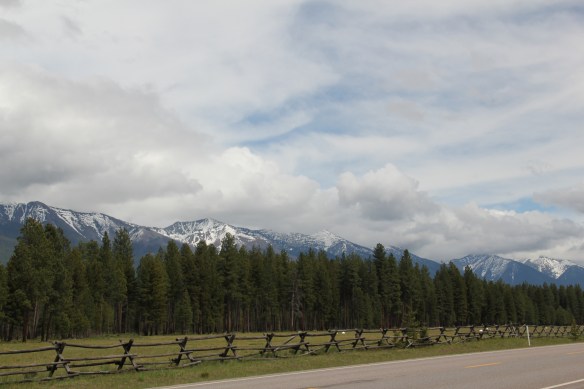 Missoula County has grown, a lot, since my state historic preservation plan work in 1984-1985, especially in the county seat of Missoula and surrounding suburbs. Yet Missoula County still has several spectacular rural drives, like Montana Highway 83 above at Condon, along with distinctive country towns. This post will share some of my favorites.


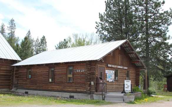 The Condon Community Center and adjacent Swan Valley Community Library serve as additional hubs for those living along the lakes and mountains of northeast Missoula County. Both buildings are excellent examples of mid-20th century Rustic style–a look that, in different variations, dominates the Highway 35 corridor.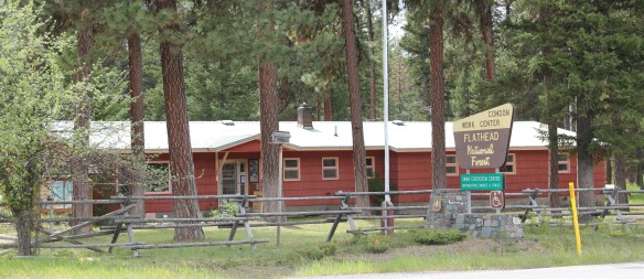
 Condon is also the base for the Condon Work Center, home to the Great Northern Fire Crew, of the Flathead National Forest. Here you can take a mile-long Swan Ecosystem Trail and learn of the diversity of life in this national forest region.
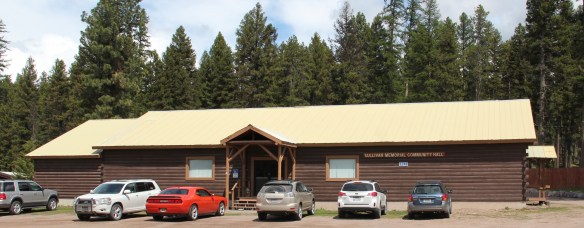
 South of Condon on Montana Highway 83 is Seeley Lake–a place that certainly has boomed in the last 30 years–witness the improved highway, new businesses, and population that has increased over 60 percent since my last visit in 1992. Yet it still had places rooted in the community’s earlier history such as the Sullivan Memorial Community Hall–a good example of mid-20th century Rustic style.
 And it had added one of my favorite bits of roadside architecture in this part of Montana: the Chicken Coop Restaurant as well as opening a new Seeley Lake Historical Museum and Chamber of Commerce office at a spectacular highway location just outside of town.


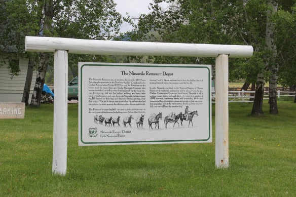
 I don’t recall even thinking about the forest service facility, but here was an entire complex devoted to the forest service’s use of mules and horses before the days of the ATV that was built by the Civilian Conservation Corps. The remount depot is an interesting


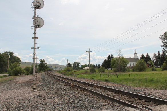
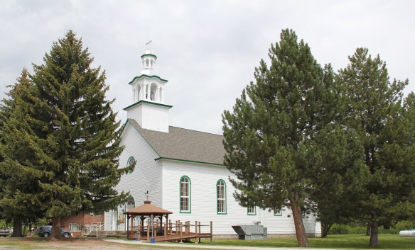
 The name Frenchtown dates to 1868 and is a reference to a number of French Canadians who moved here in the early settlement period. A National Register-listed church, the St. John the Baptist Catholic Church (1884) marks that first generation of settlers. Its classical-tinged cupola has long been the town’s most famous landmark.
 The Milwaukee Road built through here in 1907-1908 and there remains a handful of historic business buildings from the time of the Milwaukee boom. There is one landmark
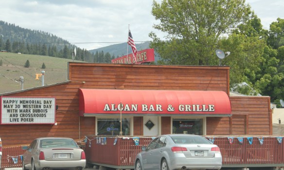
 another roadside landmark–the Bucksnort Bar, just further evidence to add to the Chicken Coop and the Alcan that you won’t go hungry if you explore the small towns of Missoula County.


