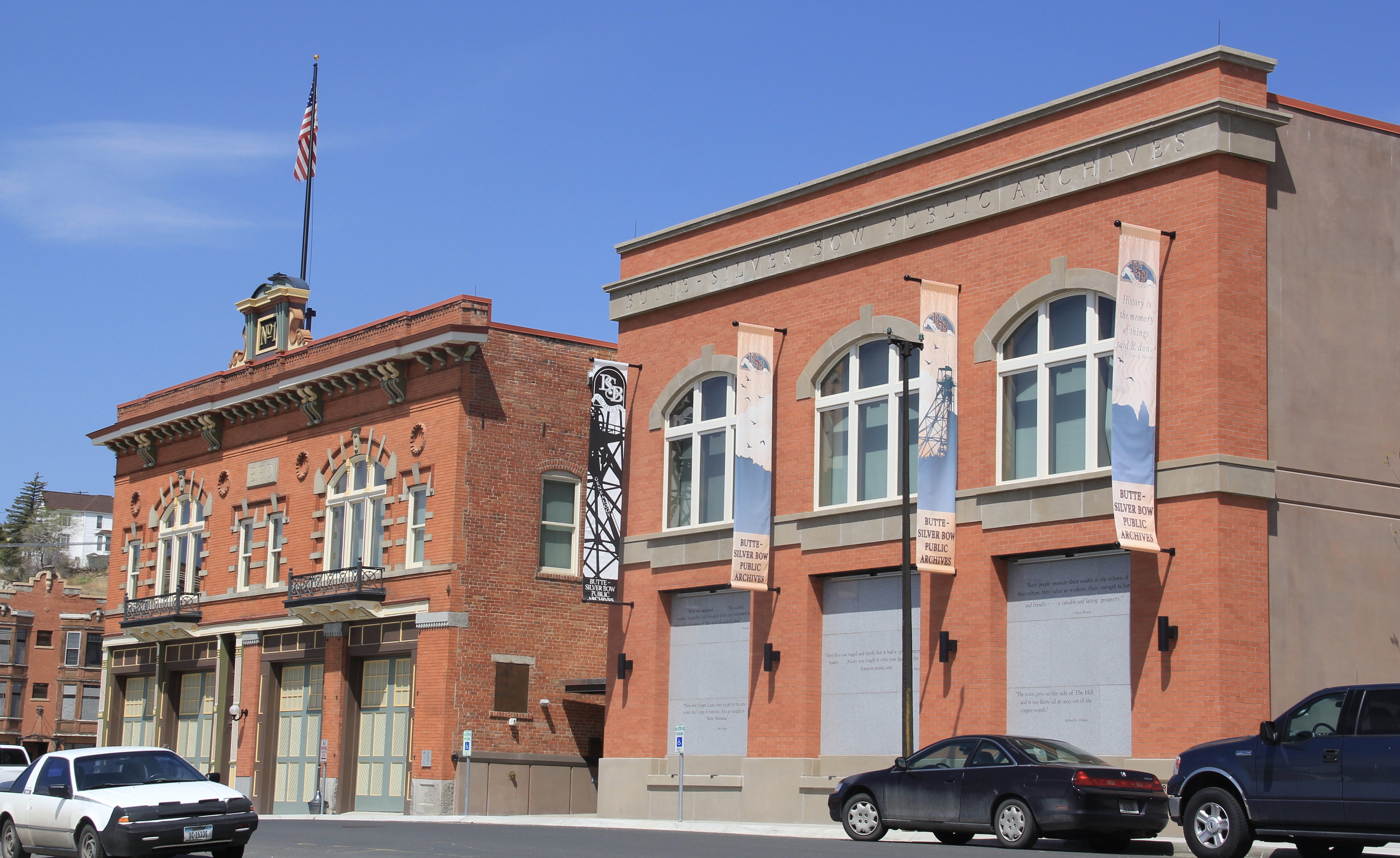
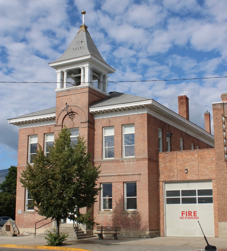
 Let me just jump right in: I do not know of another town in Montana that has done more with the concept of heritage development than Butte in the last 30 years. Heritage development, in brief, means that a community identifies the stories and places that define their past and sense of identity and then uses them as tools for community revitalization and growth. The stories and places must be authentic, meaningful, real–fake pasts don’t get you very far. In 1981, out of fears that its storied and nationally significant history would be lost in the haze of late 20th century urban renewal and economic change, Butte created as part of local government the Butte-Silver Bow Archives–everyone I knew were excited about its potential and its early discoveries at the time of the state historic preservation plan work in 1984-1985. Now that institution is one of the key rocks upon which Butte’s future lays. Above is the conversion of a historic firehall into the modern archives/heritage center the institution is today–in itself a great example of adaptive reuse and historic preservation at work.
Professional staff and volunteers, all led by Ellen Crain, keep both the community and scholars engaged–the number of strong histories, public projects, and exhibits that have come, in whole or in part, from this place in the last 30 years is very impressive. Plus it is
 a vibrant institution, always in touch as its community room hosts other heritage groups and special programs throughout the year. The archives is just around the corner from one of the most important, and solemn, places in the city, the location of the Butte Miners’ Union Hall, which was bombed in 1914.

Now an interpretive monument talks about the union, the bombing, and addresses directly a chilling chapter in the long struggle between labor and capital in Butte. Installed c. 1993 near the “top” of Main Street, this site sets the stage for the amount of public interpretation found in the city today.
 Heritage development has become part of the basic sinews of Butte. Along with its active archives board, the city also maintains an effective historic district commission, and provided seed money for several key projects over the past generation. The Original Mine site below, the city’s first copper mine, not only serves as part of the city’s public
interpretation efforts, it is also a place for community gatherings, such as the Montana Folklife Festival in recent years. It is important to note that the marker at the Original just doesn’t celebrate the technology it also notes how many men–43–died at that mine. The progress of Butte happened on the back of its working class miners.

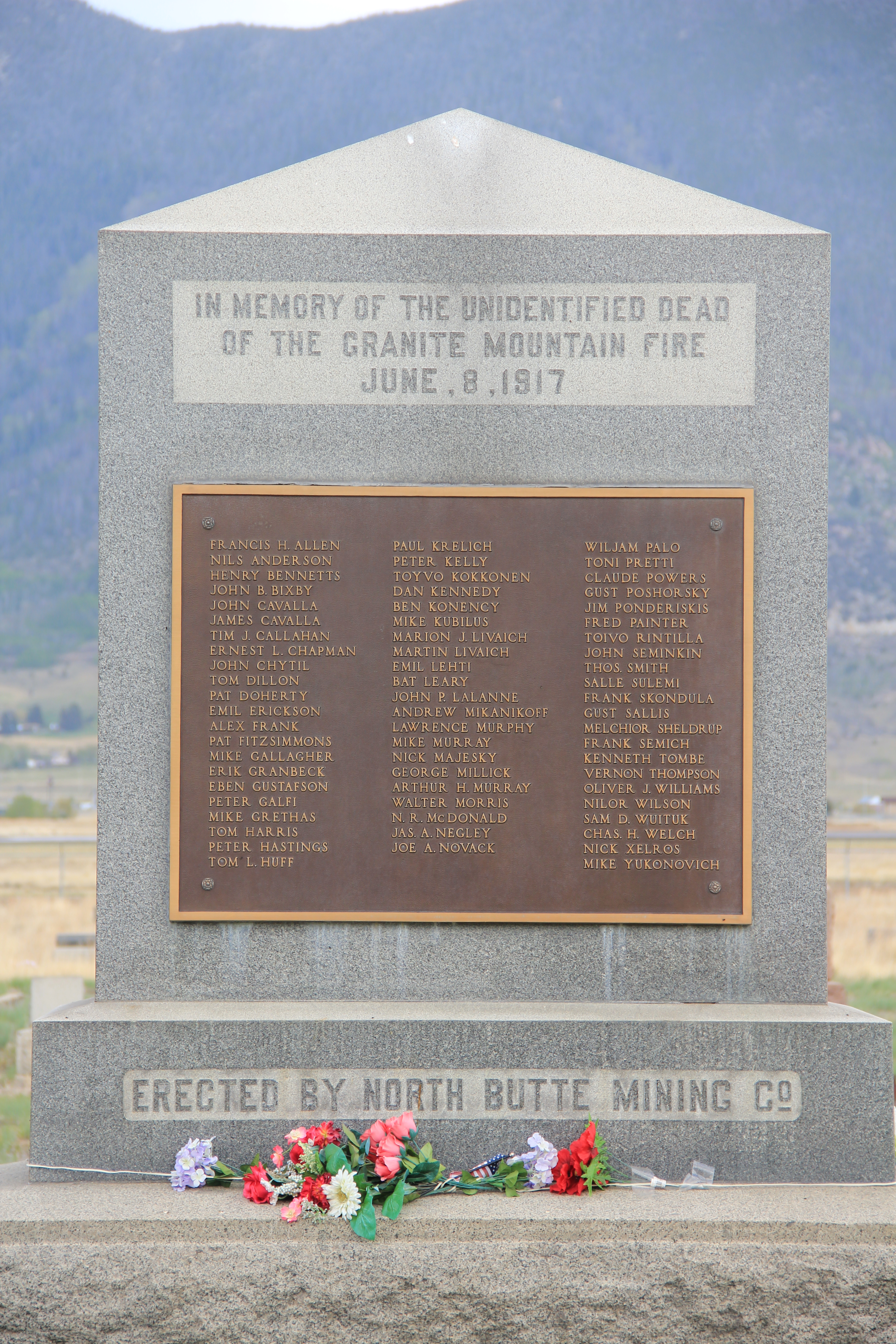
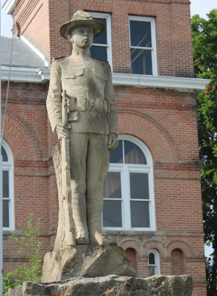
Here is another promising change: the willingness to landmark and discuss the human costs of mining. Butte’s most infamous event was the Granite Mountain/ Speculator Mine disaster of 1917 in which 168 miners died–still the single most deadly disaster in American hard-rock mining history. Not that the event was ignored at the time. In fact the North Butte mining company erected the memorial above to those who perished in Mountain View Cemetery, far from the scene, shortly thereafter. Who knew this memorial existed? There were no signs marking the way there–you had to search to find it.
 Today the Granite Mountain site is one of the best interpreted mining properties I have encountered. The miners’ stories are told–often with the words they were able to write down before dying from the lack of oxygen–and their multiple ethnic backgrounds are acknowledged, and celebrated.
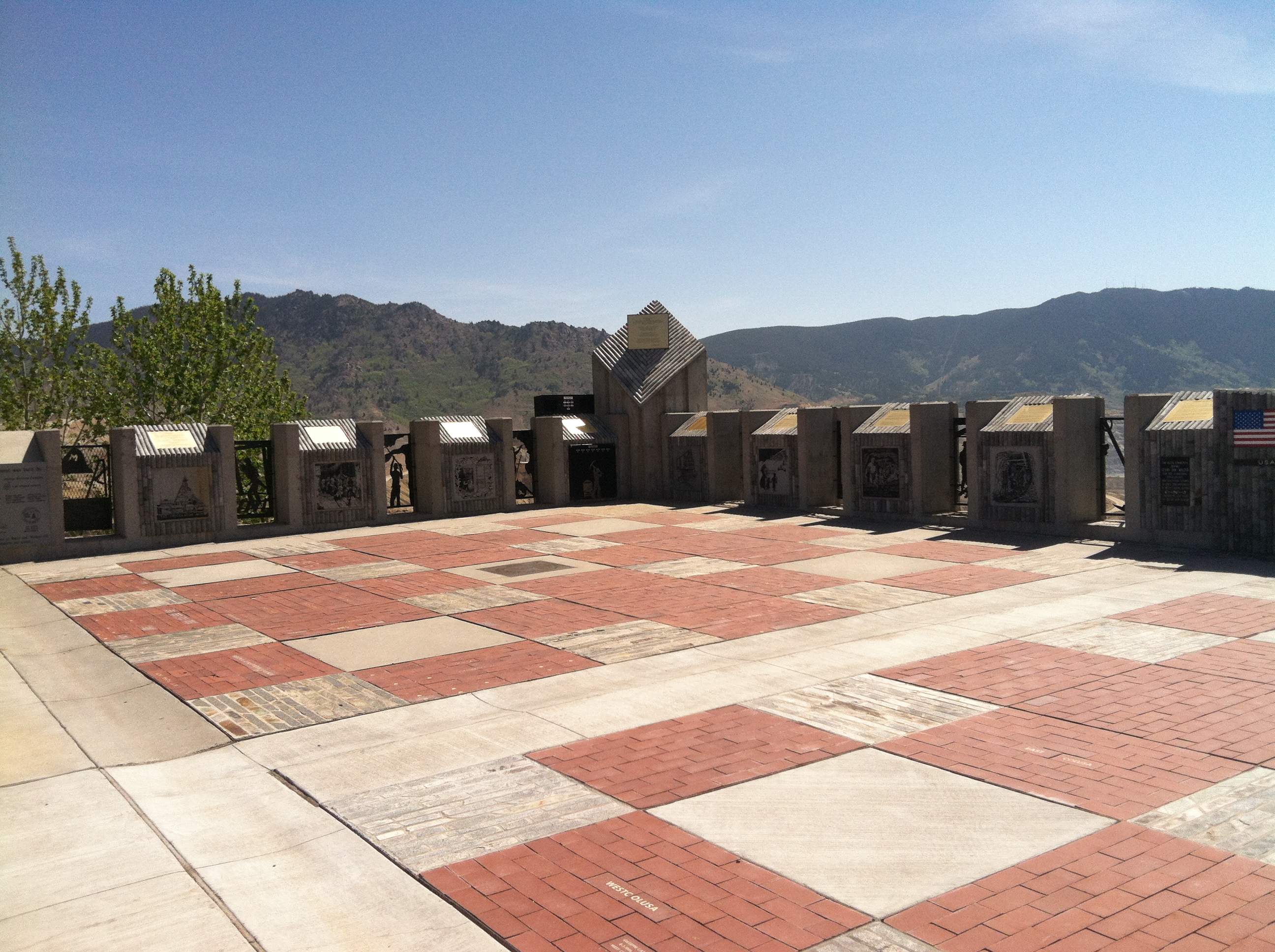
 The interpretive memorial overlooks the mine, and is located high over town. But when I visited in May 2012 a school group was there too, along with visitors like me.
ARCO, along with public partners, funded the site in this century, as part of the general Superfund cleanup of the mining district. But the park was long overdue as well as the recognition that some 2,500 miners lost their lives in the Butte district. The marker’s statement–“you are standing on hallowed ground”–is typically reserved for military parks. Within the context of Butte, however, it is totally justified, and an important point to remember wherever you are in the city.
The reality that Butte’s mines contributed significantly to American war efforts in the 20th century is recalled through a public art mural near a public transit stop. Public sculpture also interprets what was and what has been lost in Butte.
Through the efforts of the state historic preservation office, and its commendable program of providing interpretive markers for National Register properties, the residential side of Butte’s story is also being told. You have to love the “blue” house, associated with U.S. Senator Burton K. Wheeler, one of the New Deal era movers and shakers.
 All of these efforts considerably enhance earlier efforts at public interpretation, be they along Interstate I-15 and its overview of Butte or the visitor center maintained just off the
 interstate by the local chamber of commerce. The center, yet another change in the last 30 years, is an attractive reproduction of a classic railroad depot design. It also provides a useful perspective of the city from its south side, giving special prominence to the soaring clock tower of the historic Milwaukee Road depot.
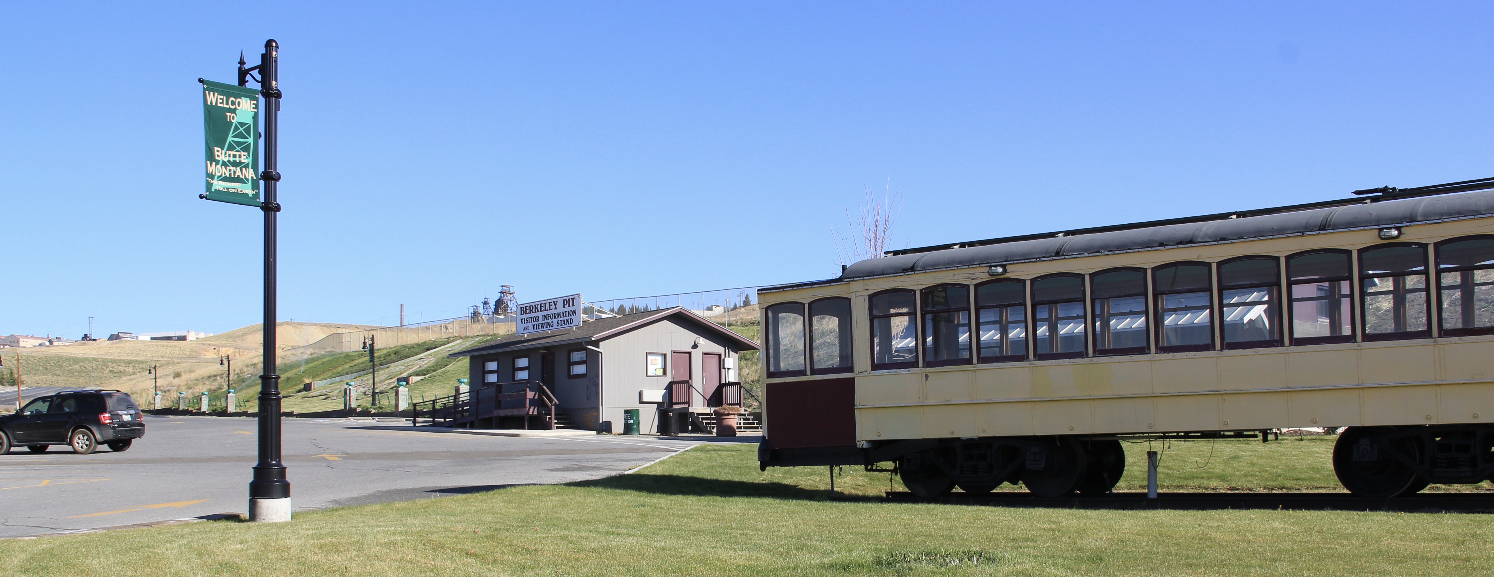
 The Berkeley Pit in 1984 was a giant hole in the earth, with a viewing stand. It too now has a more comprehensive heritage experience with a small visitor center/ museum adding to the public understanding of the massiveness and significance of the pit.
Then of course, designed for highway travelers and tourists, there is the now classic World Museum of Mining, established in 1965 around the Orphan Girl mine. The WMM lets rusting industrial artifacts convey part of the story while the existing mining buildings are open, allowing you to get a more physical experience of what the head frames and mines were really about. And, as typical of Montana museums of the 1960s and 1970s, there is the attached “frontier village,” interpreting what early Butte was all about. Don’t get me
wrong: there are many things to like about the WMM–it is rich in artifacts, as the miners items above suggest (and more about it in another post). But it is a controlled, sterile experience, and I would hate for that to be the only takeaway visitors have about Butte and its significance. The museum is away from uptown Butte, and visitors who stop here may never go explore the deeper story within the town and its historic neighborhoods.

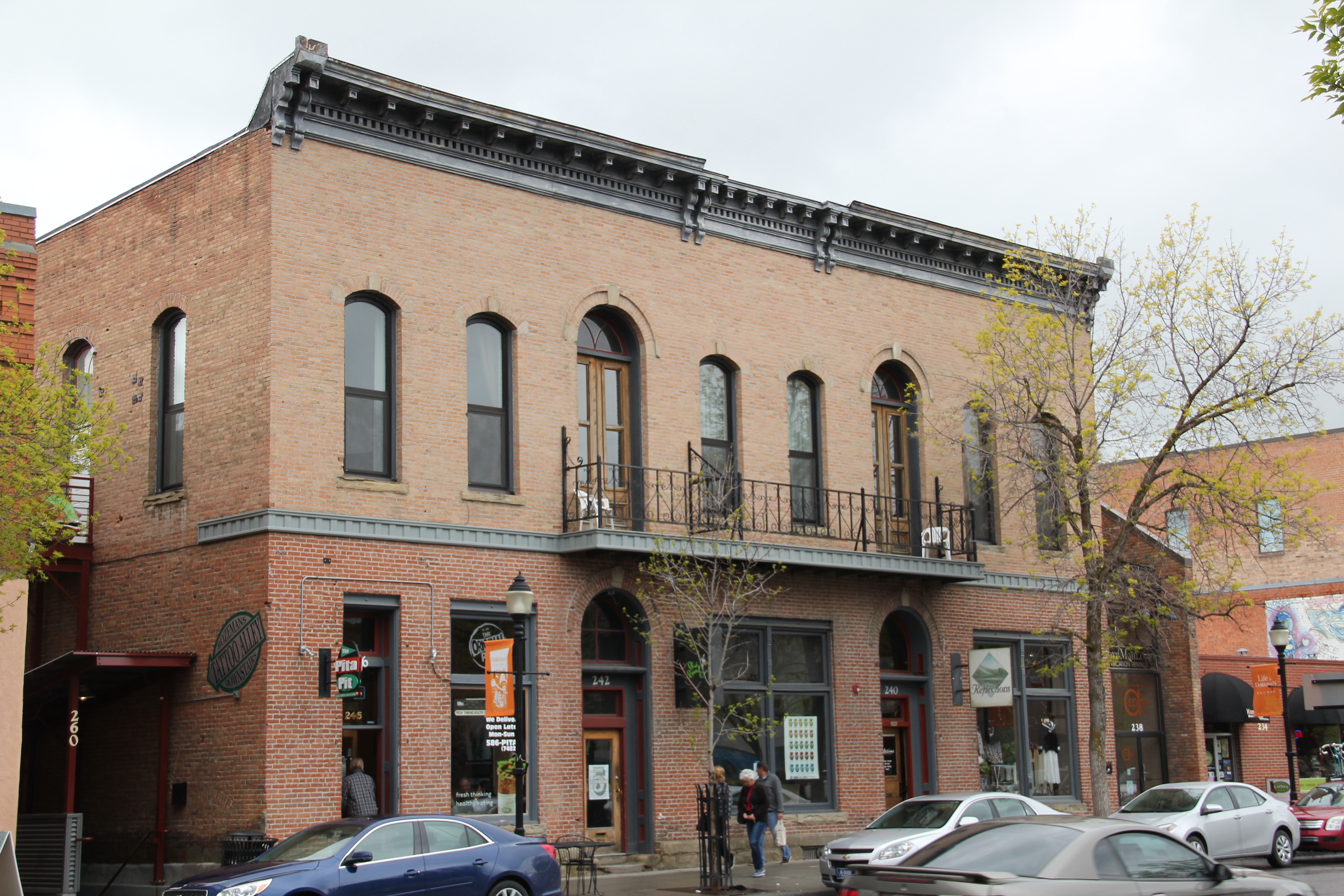
Old Butte Historical Adventures on Main Street is just one group of heritage entrepreneurs who provide visitors with a “up close and personal” viewpoint and experience of Butte’s historic landscape. Walking tours of Uptown along with various special theme tours engage visitors and residents with local history in a way different from traditional monuments, markers, and historic sites.
But one must be aware that the pressure to commercialize can also distort, and demean, the significance of it all. What happens at the Dumas Hotel–a historic brothel–will be interesting to watch. The story of prostitution is very much part of the fabric of the city, but one that for many years people did not want to tell, except with snide references and a snicker or two. Let’s hope that changes as the Dumas is restored and opened as a heritage venue: addressing the sex trade and role of women and men accurately and in context would add immeasurably to the sense of authenticity, of realism, in the Butte story.
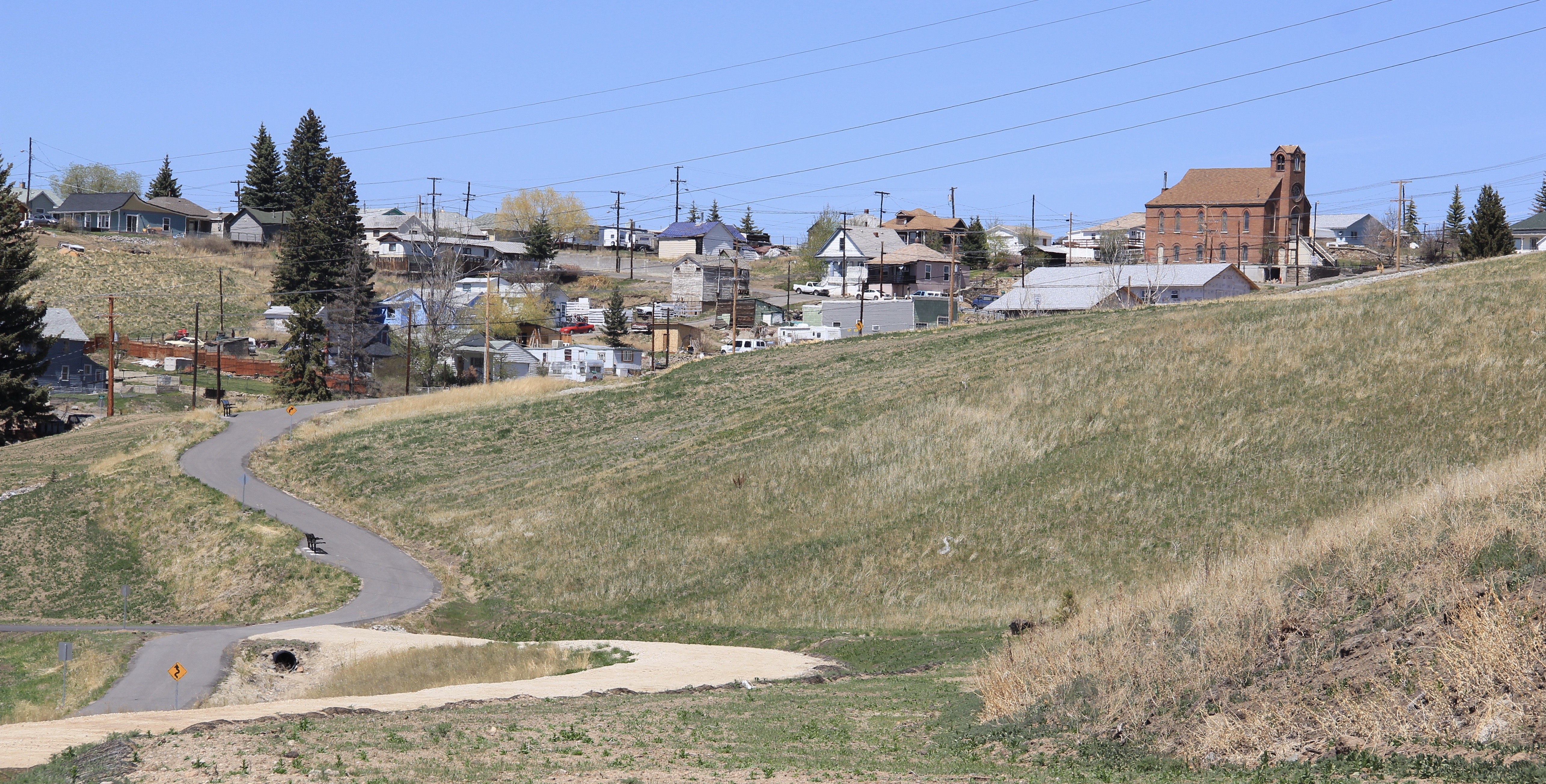
The most exciting part of Butte’s heritage development to my mind are the series of greenways or trails that link the mines to the business and residential districts and that link Butte to neighboring enclaves like Centerville (shown above). Recreational opportunity–walking, jogging, boarding, biking–is a huge component of livable spaces for the 21st century. When these trails are enhanced by the stories they touch or cover,

they become even more meaningful and valuable. If you have lived in Montana for 6 months or 60 years, it is time to return to Butte and take the Montana Copperway (trailhead shown above) –not only would it be good for your health, it also gives you a lasting perspective of a mining town within the vast Northern Rockies landscape, and how men and women from all sorts of backgrounds and nations established a real community, one that has outlasted the mines that first created it.


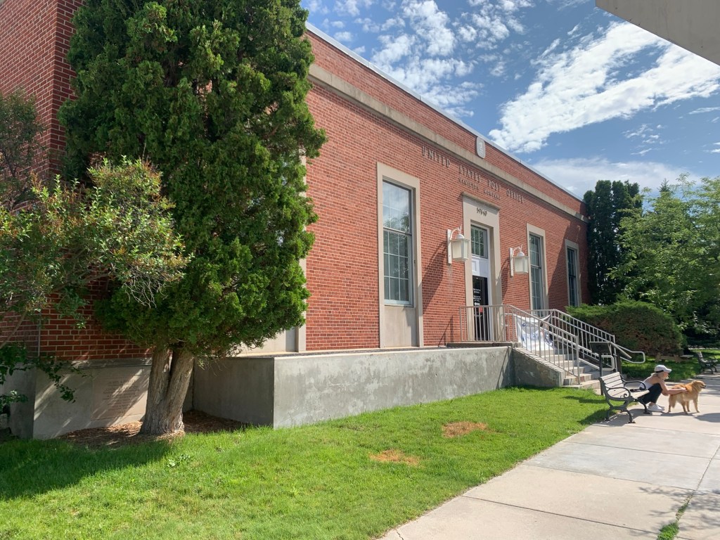


 which once hung in the Richland County Courthouse in Sidney (and now displayed at the Mondak Heritage Center in Sidney) and the numerous murals that graced new post offices and federal buildings across Montana, the one below from Dillon demonstrates
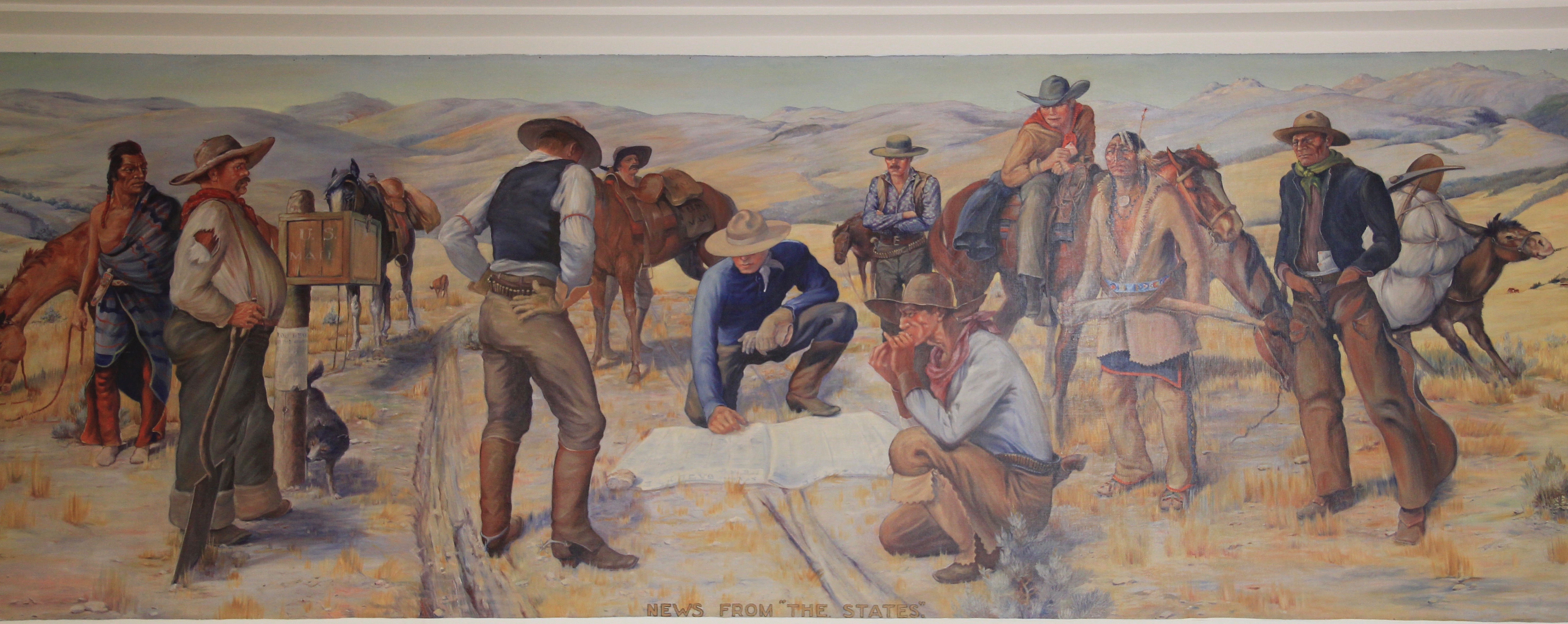 that the arts program of the 1930s stretched across Montana, from Sidney to Dillon.
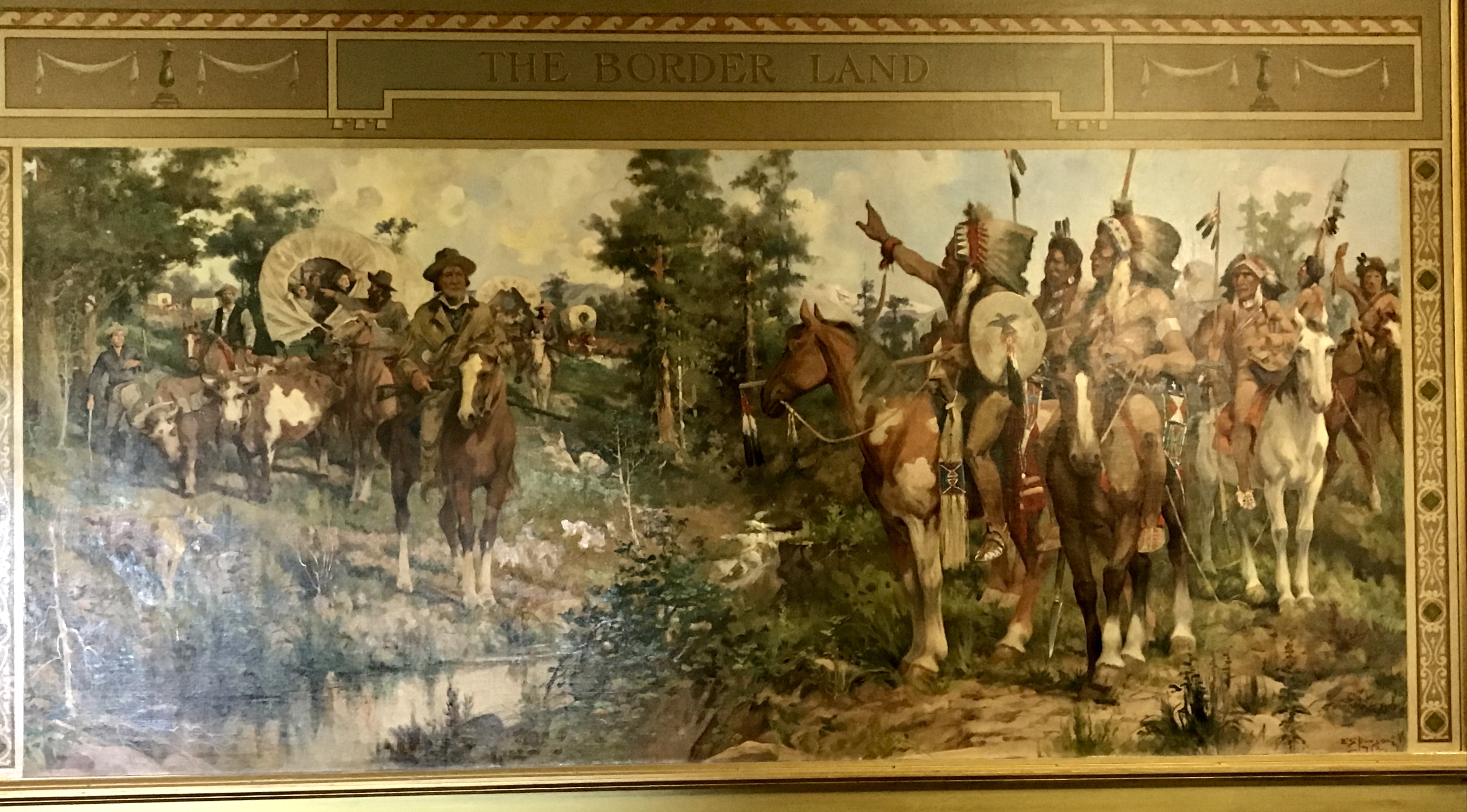
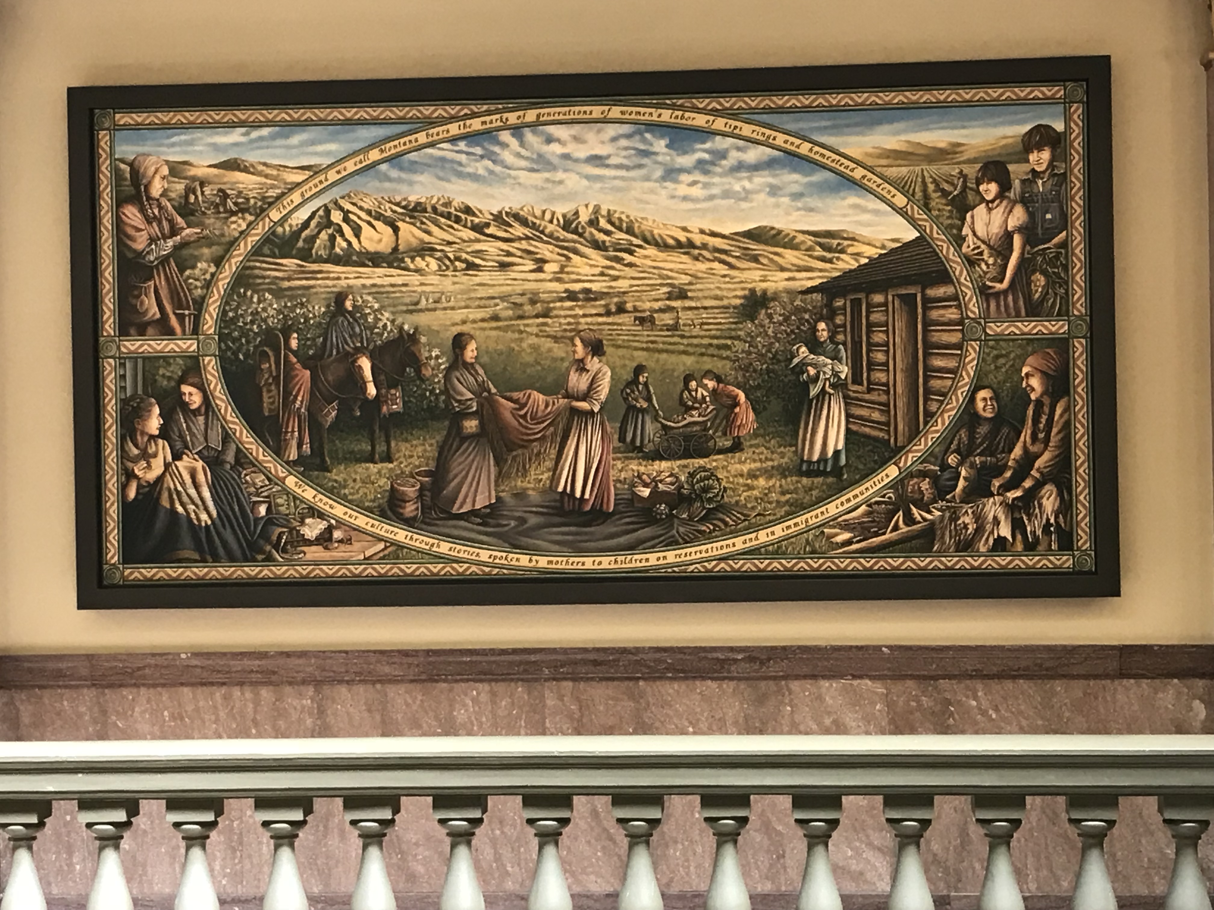
 When I lived in Helena in the first half of the 1980s, of course I noticed murals, such as one above on the state’s important women’s history on Last Chance Gulch, which itself had various installations of interpretive sculpture to tell the story of a place that had been so “renewed” as to lose all meaning.


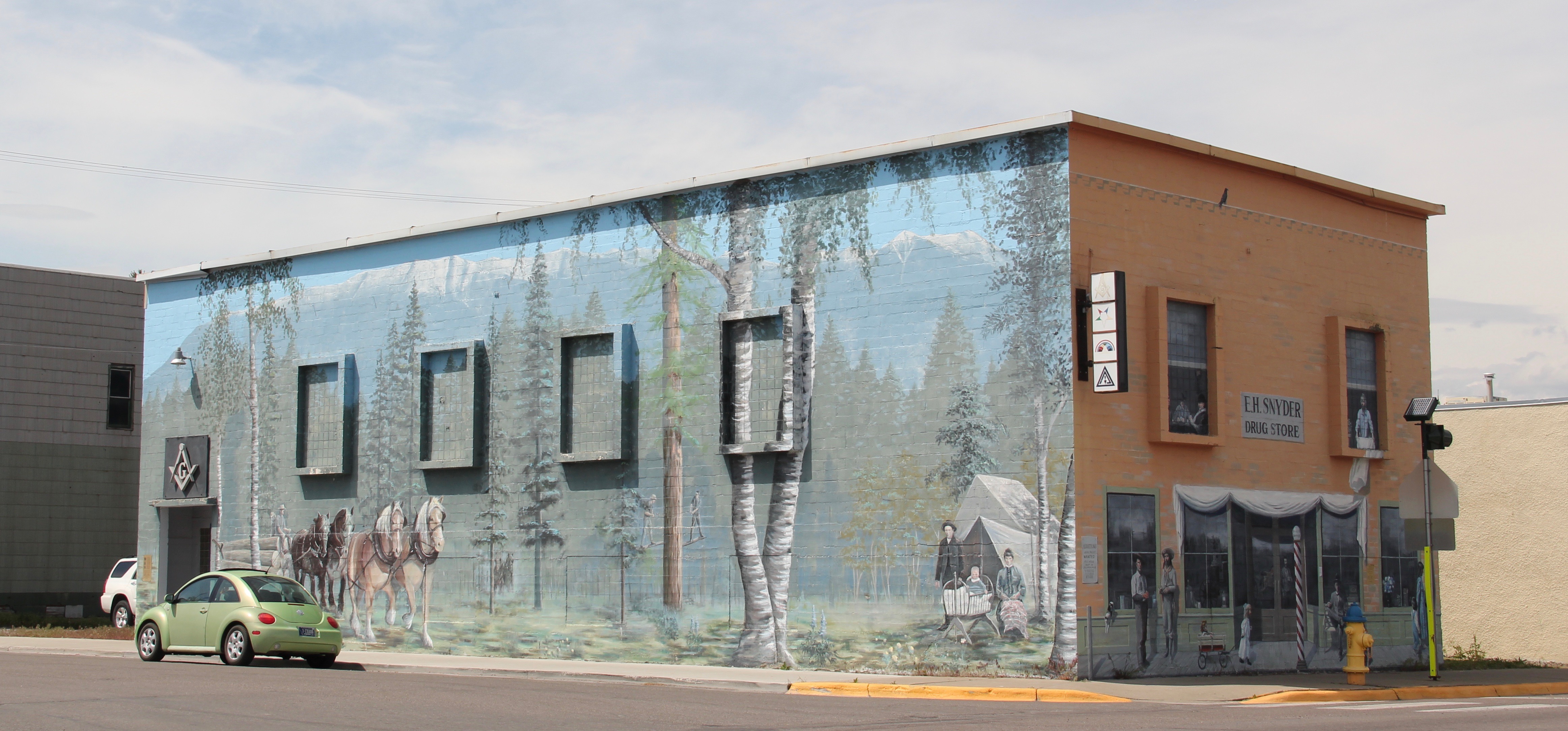 Another northwestern Montana town–the gateway town of Eureka on U.S. Highway 89. uses a mural to set the scene of a quiet, peaceful place no matter the season:


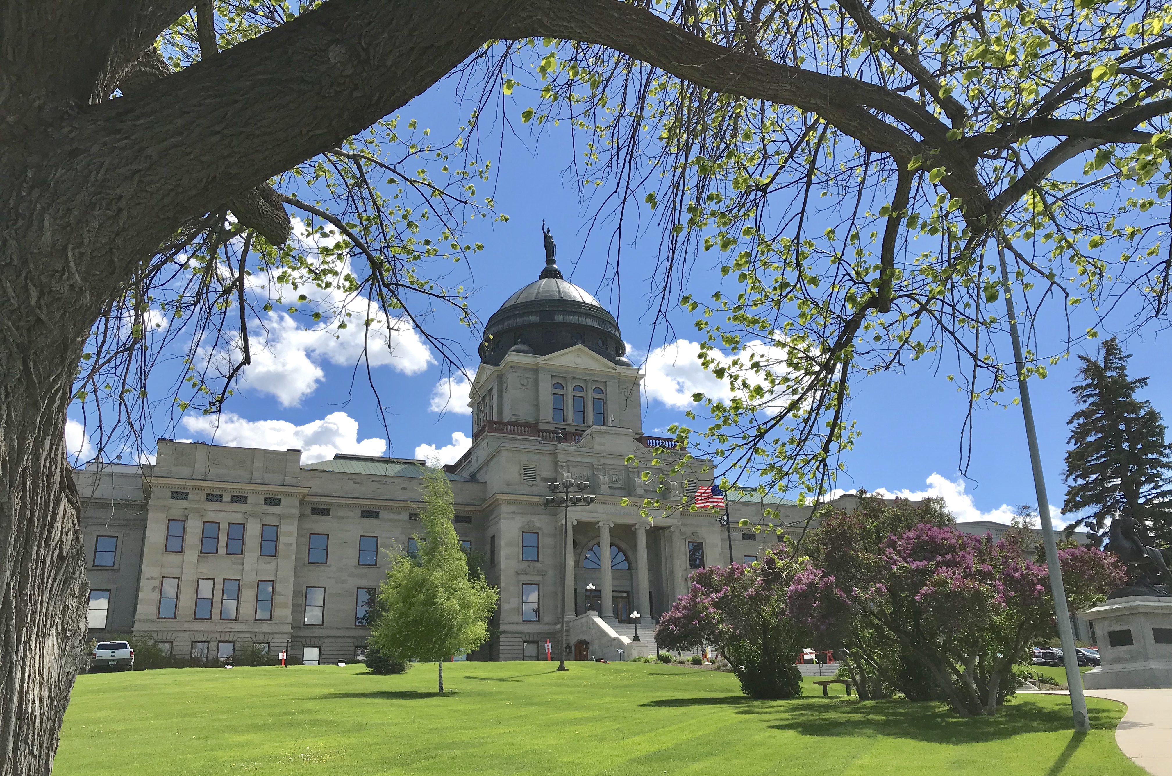
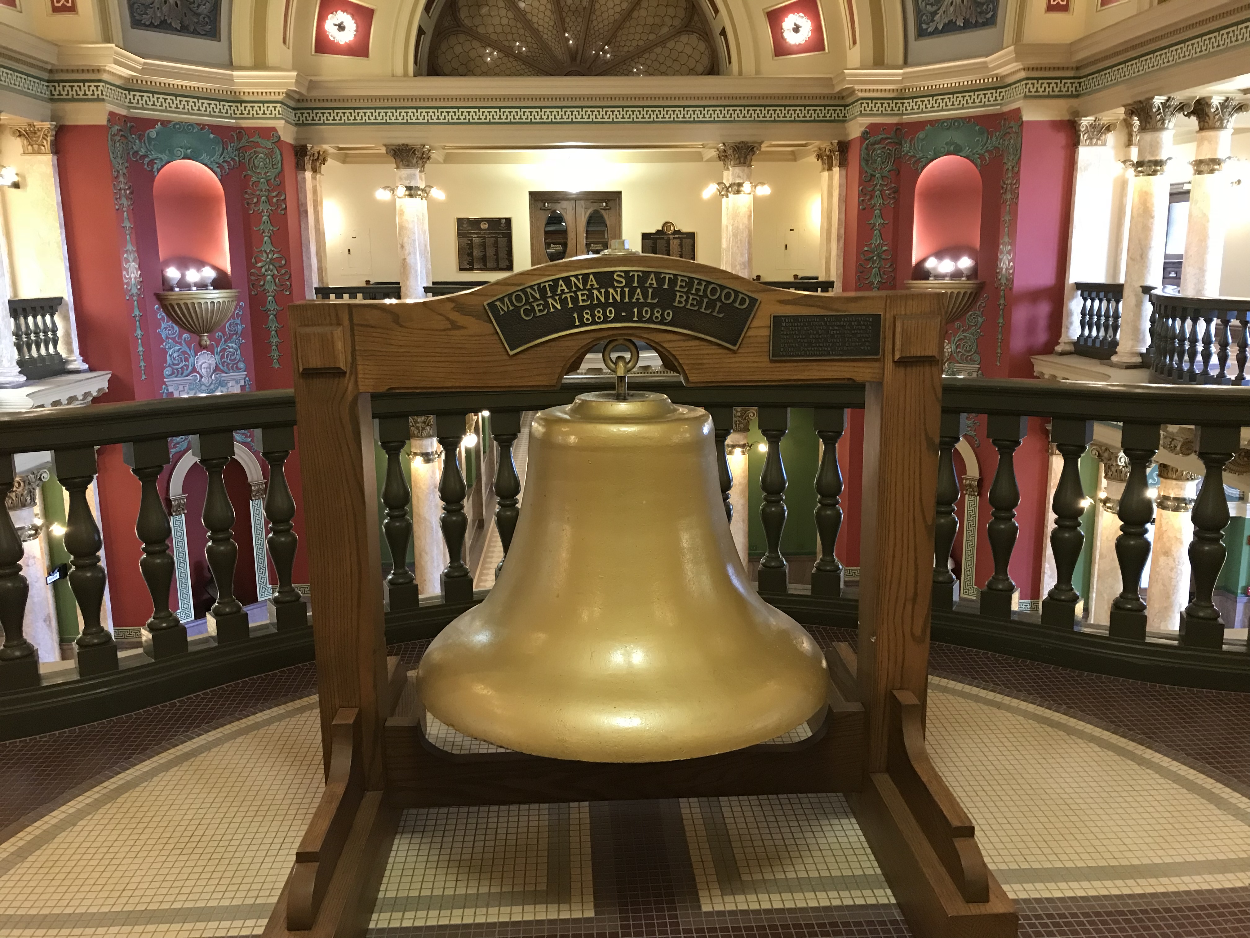
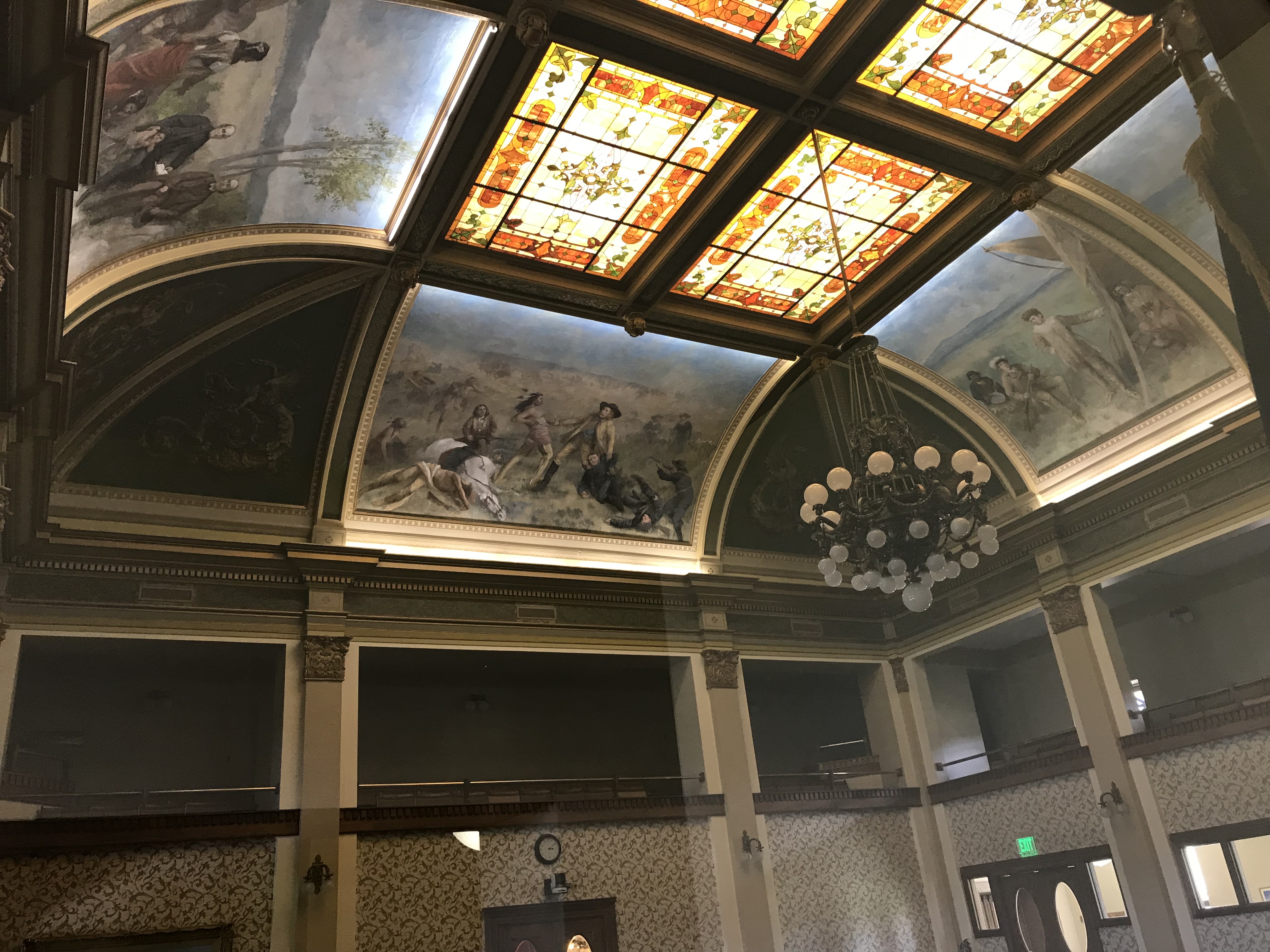
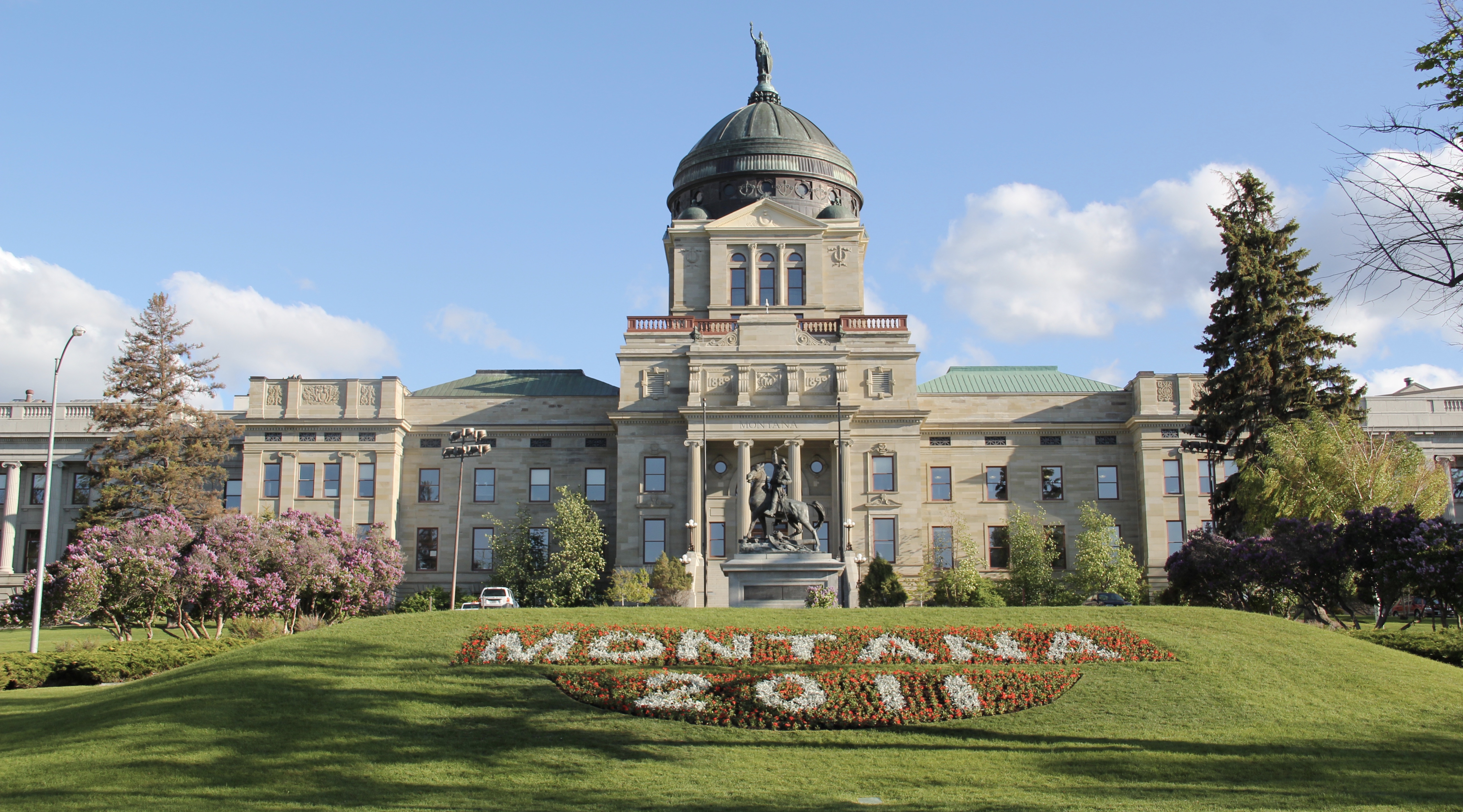 The Montana State Capitol was my first heritage project in the state–the Montana Department of General Services worked with the Montana Historical Society to have me prepare an interpretive guide to the capitol, and then set up the interpretation program, following an excellent historic structures report prepared by the firm of Jim McDonald, a preservation architect based in Missoula.


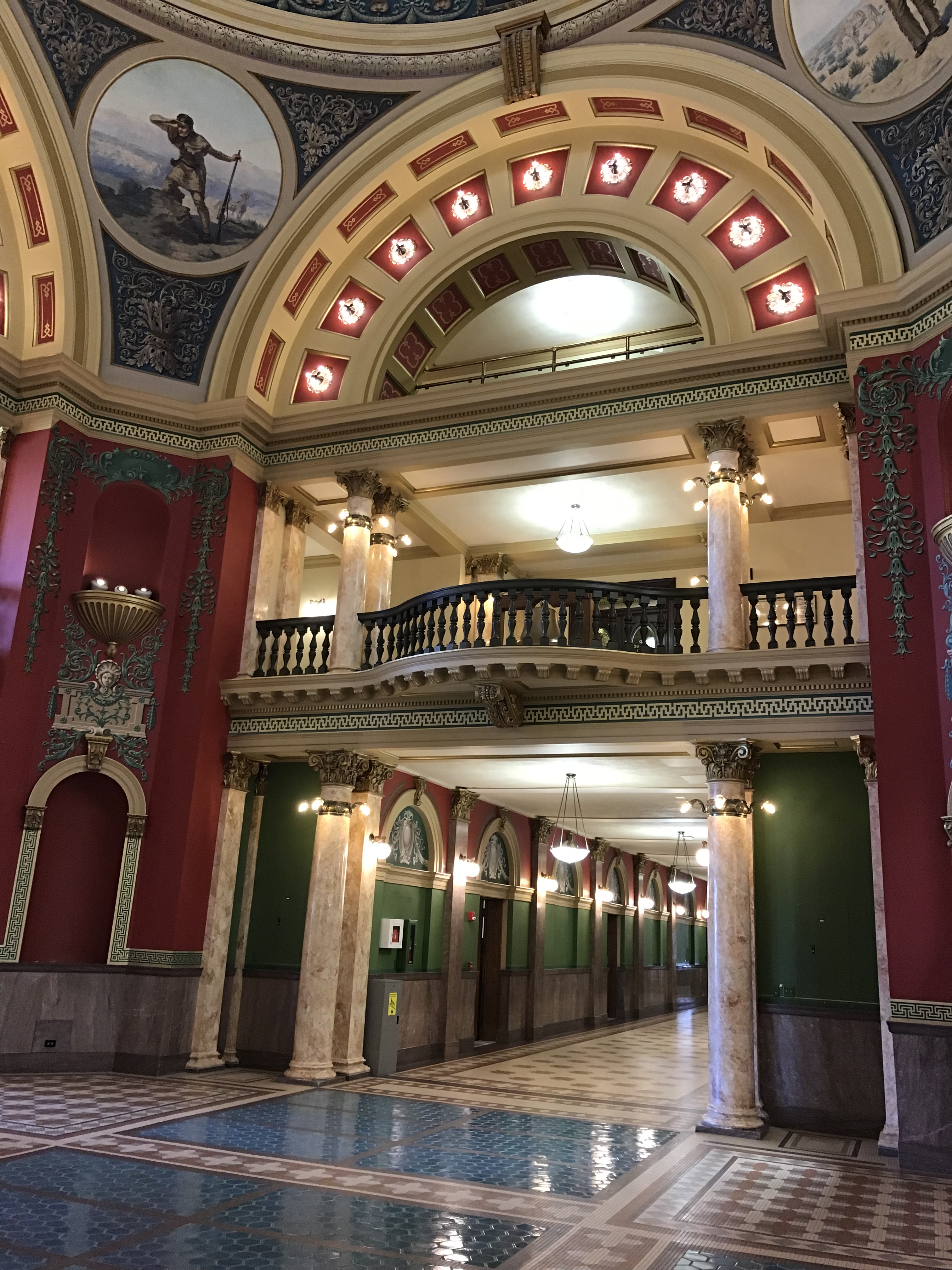
 When I worked at the capitol, of course I passed daily by other state government buildings, and rarely gave those “modern” buildings another thought, except perhaps for the museum exhibits and archival collections at the Montana Historical Society. Years later, however, what seemed unbearably recent in the early 1980s were now clearly historic. One of my MTSU graduate assistants, Sarah Jane Murray, spent part of a summer last decade helping develop a inventory of the buildings and then, finally, in 2016 the Montana State Capitol Campus historic district was listed in the National Register of Historic Places.


 The Capitol Annex (1910) was the first building added to the capitol campus, and its restrained classicism came from the firm of Link and Haire.
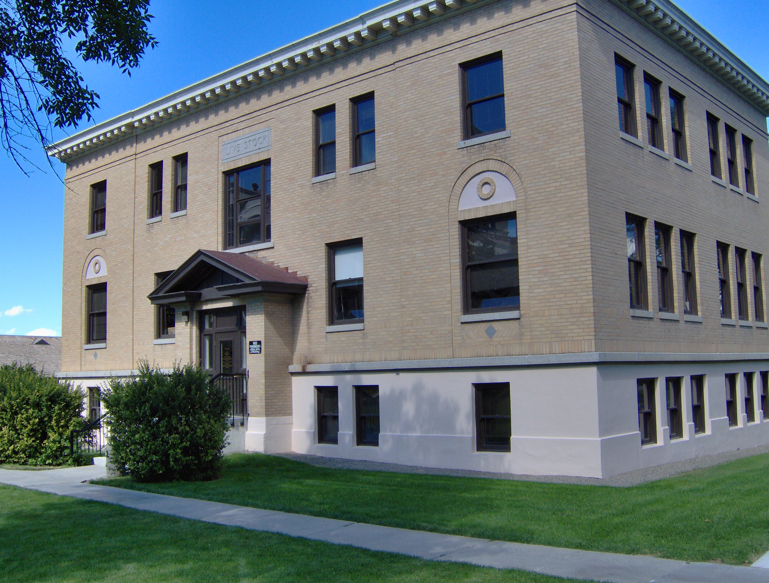 The nearby Livestock Building (1918) is like the annex, complimentary of the capitol’s classicism but also distinguished in its own Renaissance Revival skin. Link and Haire were the architects.
 The mammoth Sam W. Mitchell Building (1948-50) reflected the post-World War II interpretation of institutional modernism and its mammoth scale challenged the capitol itself, especially once a large addition was completed at the rear of the building in 1977. The architect was Vincent H. Walsh of Helena.
 Another Link and Haire building on the campus is the Board of Health Building (1919-1920), which continues the pattern of more restrained architectural embellishment that shaped the look of the government buildings in the middle decades of the century.
 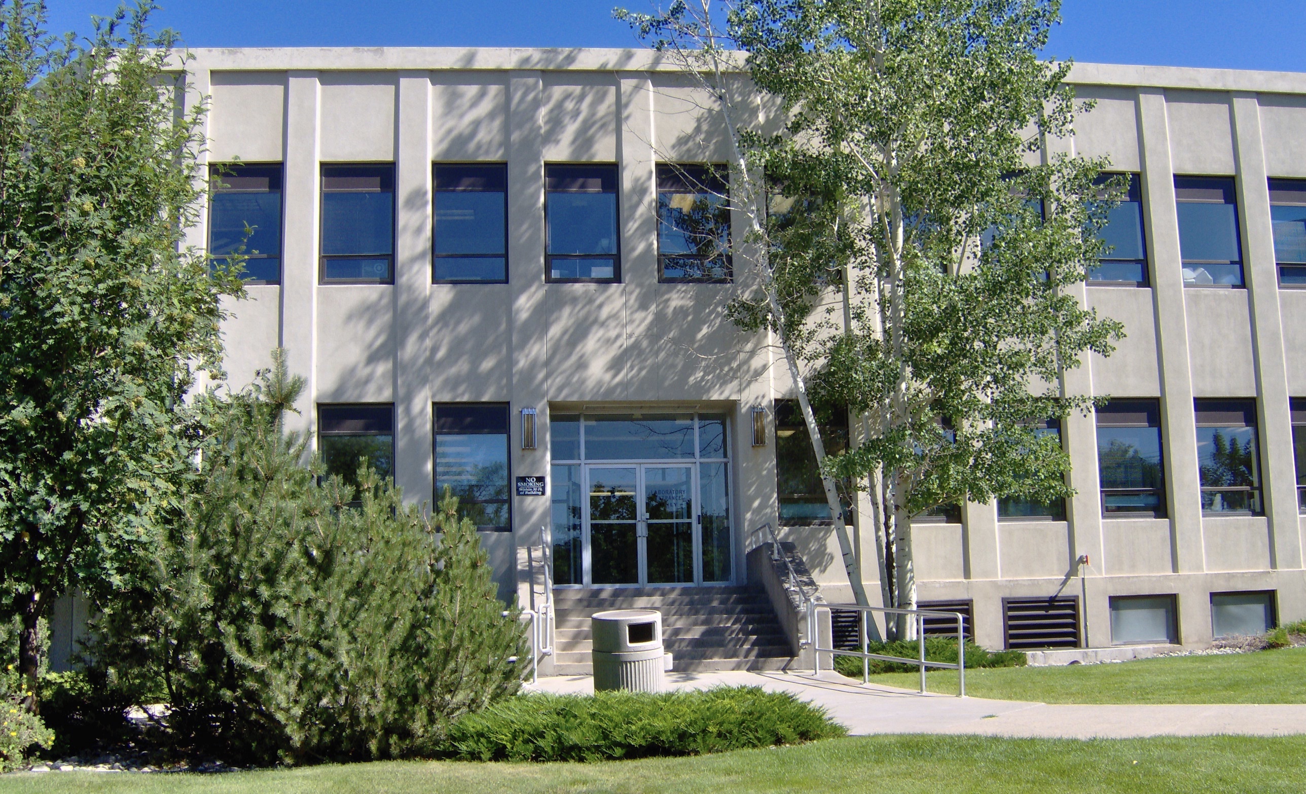 The Cogswell Building (1954-55, 1981) is another Vincent H. Walsh design, again reflecting the stripped classicism institution style often found in Cold War era public buildings.
 While the capitol campus took form on a hill about a mile east of Last Chance Gulch, the state’s governor still lived downtown, in the Queen Anne-style “mansion” originally built by miner and entrepreneur William Chessman and designed by the St. Paul firm of Hodgson, Stem and Welter. The state acquired the house in 1913 to serve as the residence for the governor and his family, and it remained the governor’s “mansion” until 1959.
 It was the opportunity to be the curator of this house museum that attracted my newlywed wife Mary Hoffschwelle that led me to come with her to Montana. She was born in Billings; I had never been west of Dallas. But then over 25,000 miles of driving, visiting, and looking in Montana transformed me, and led not only to the 1986 book A Traveler’s Companion to Montana History but now this Montana historic landscape blog. Fate, perhaps. Luck–I will take it any day.
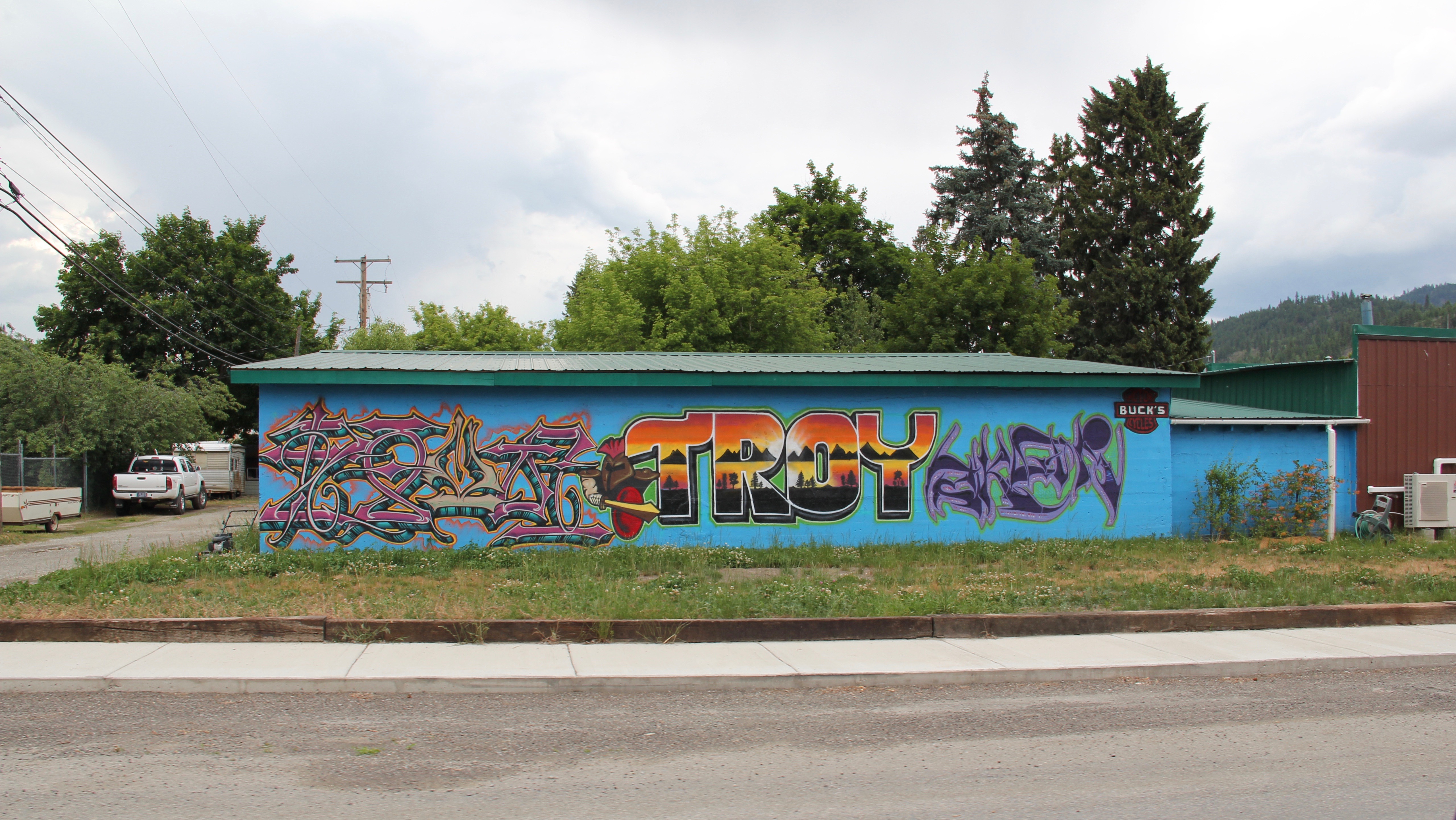
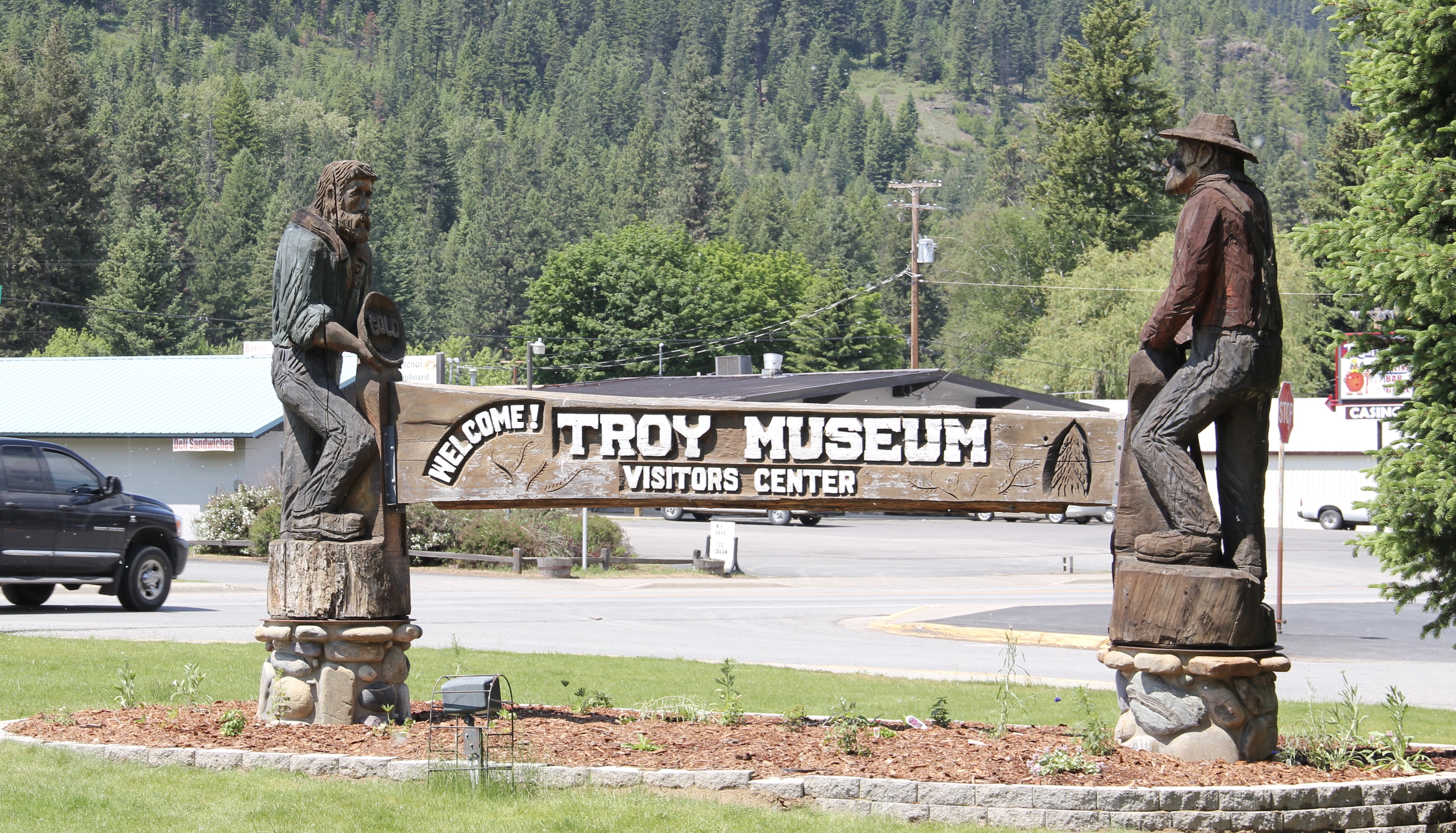 I love Montana town signs, and Troy, deep in the state’s logging country, has one of the best. The sign lures to a city park nestled along the Kootenai River. The focus point is a


 the Great Northern’s main line, and I documented the few historic buildings left facing the railroad tracks today. The Home Bar (c. 1914) and the Club Bar were institutions then, and remain so today. The Kootenai State Bank building still stands but has experienced a major change to its facade–made better in part by the American flag painted over some of the frame addition.
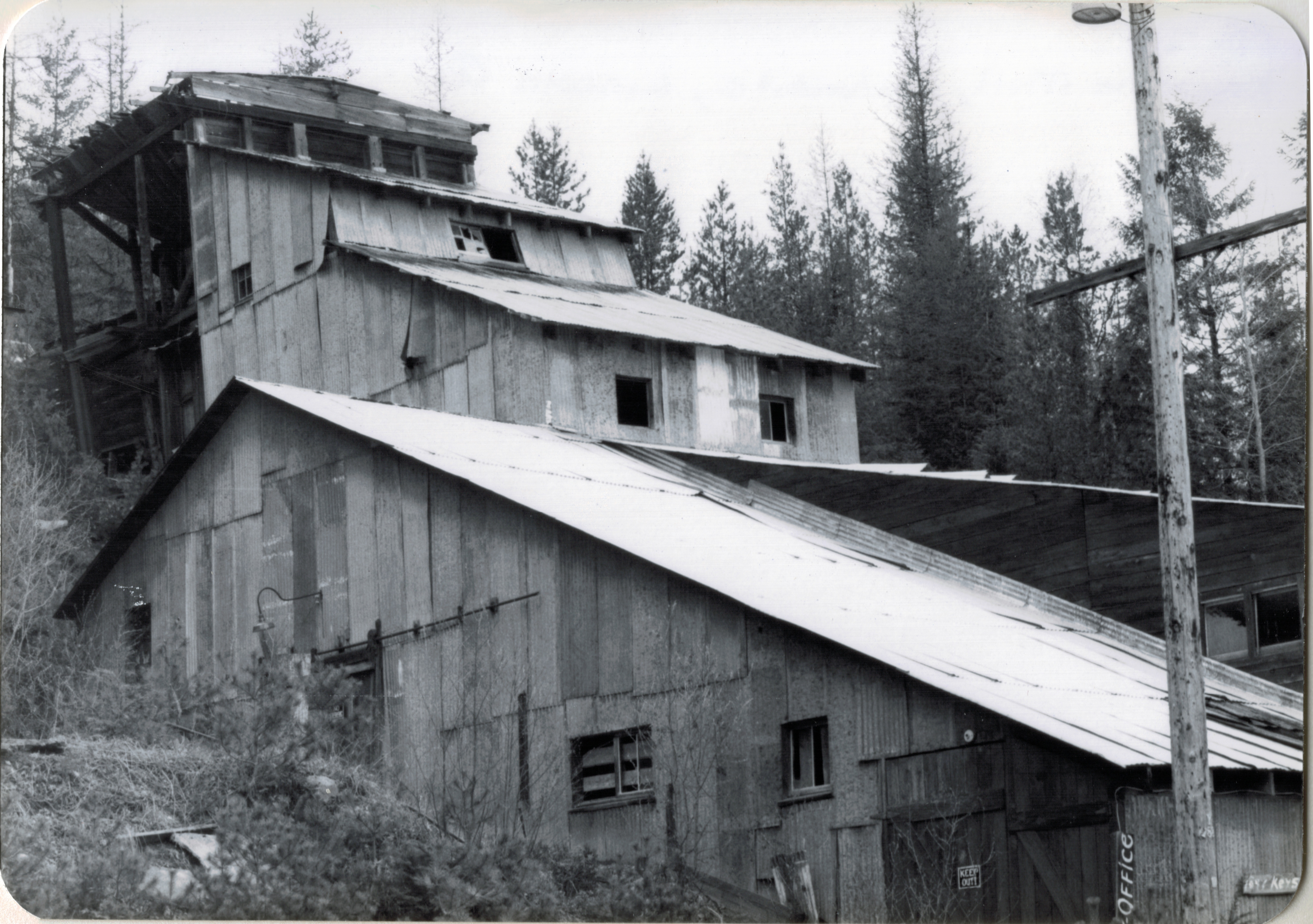
 The Troy Jail, above, was listed in the National Register of Historic Places in 2006 and it remains the only building so listed in the town today. D.E. Crissey, a local contractor, built it out of concrete in 1924 during Troy’s boom from 1916 to 1926 when its population jumped from 300 to 1300. The Snowstorm mine, which produced lead, zinc, and silver, started to serve the demand for raw materials during World War I. The mine soon turned what had been a small railroad town into a mining camp best known for its brothels and bars. Then in the early 1920s the Great Northern decided to build a division point here, further booming the town. The Sandpoint Pole and Lumber Company began its logging business in 1923, and Troy suddenly was the largest town in the county


 Along Interstate I-90 as you travel northwest into Idaho, St. Regis is the last town of any size in Montana, and, at that it only counts just over 300 residents. The town has a long significant history in transportation. Old U.S. Highway 10 follows part of the historic Mullan Road–the Mullan monument above marks that route in St. Regis. The town lies at the confluence of the Clark’s Fork River and the St. Regis River. It is also the point where
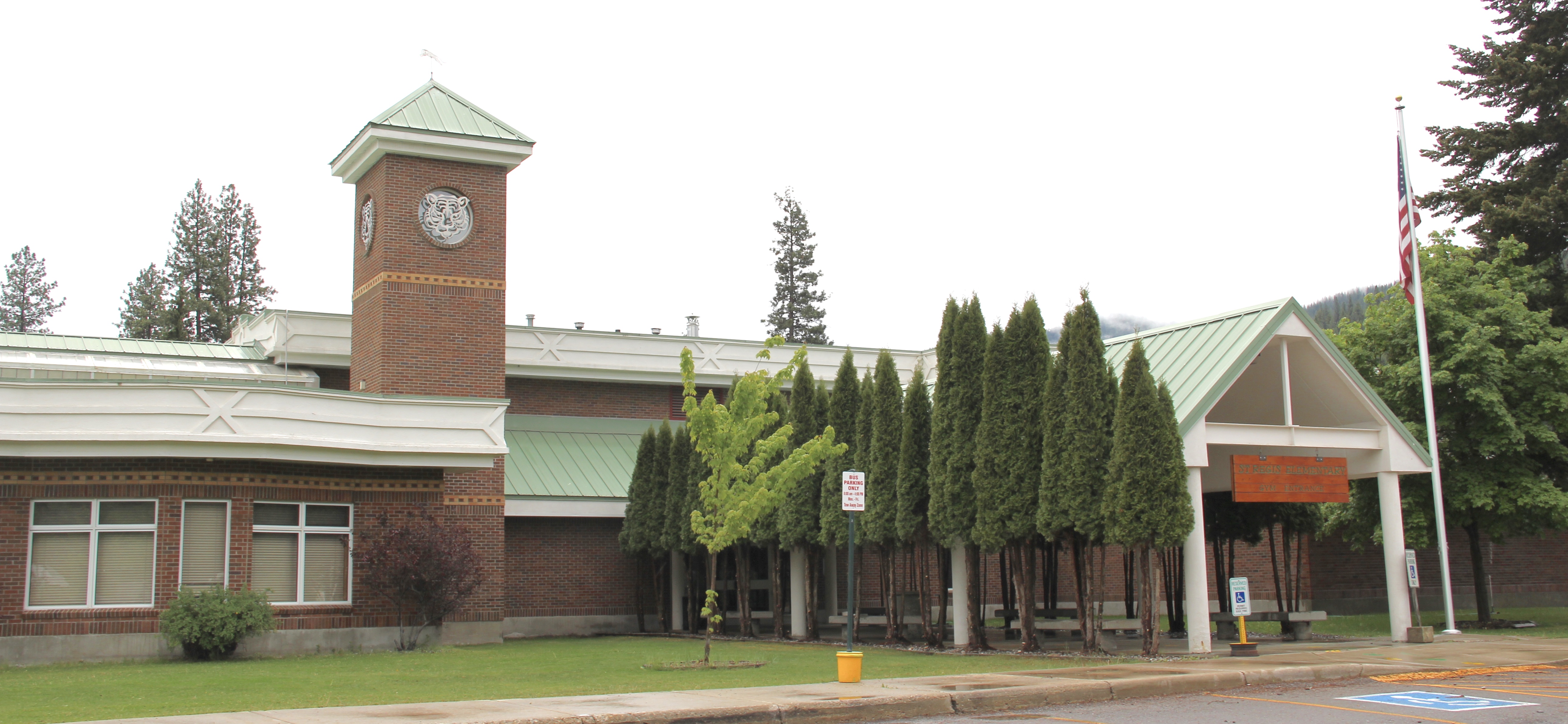

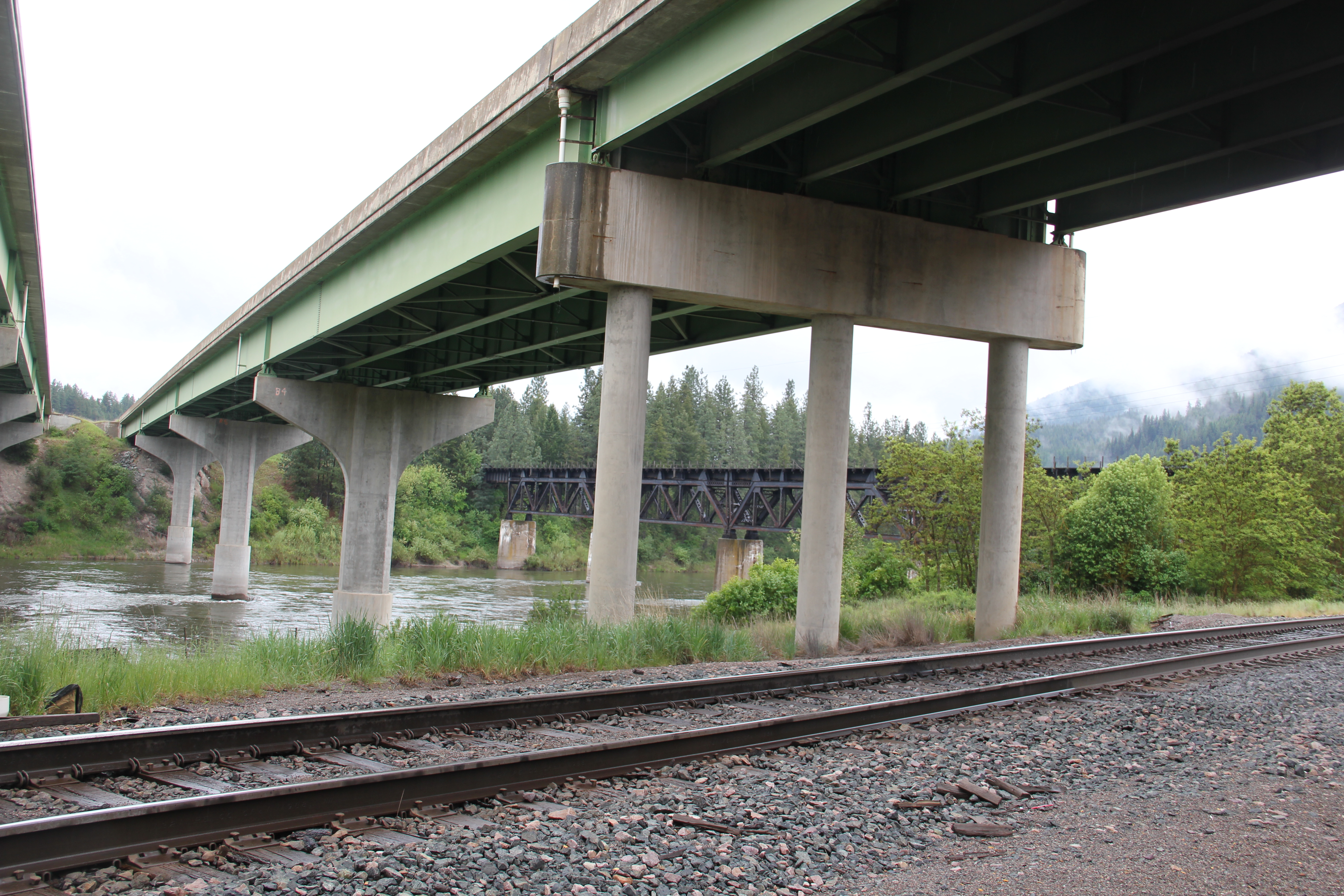
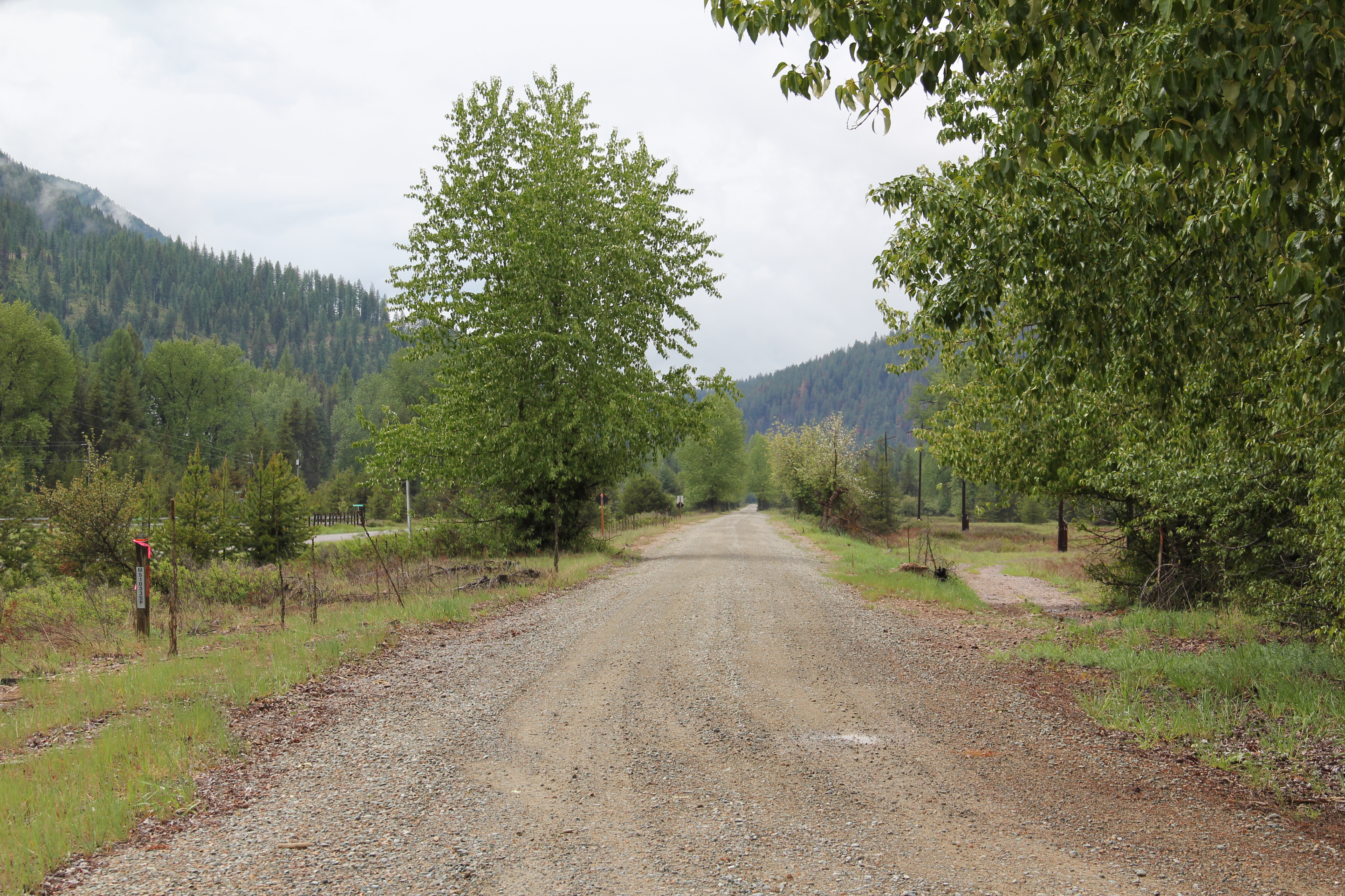
 As the photos above show, one of the Milwaukee’s bridges over the Northern Pacific right-of-way has been cut while the interstate rises high above and dwarfs both earlier railroads along the Clark’s Fork River. From St. Regis to Taft, the Milwaukee Road route has new life. In the 21st century the U.S. Forest Service and local residents have worked diligently to preserve the corridor, not to restore the tracks but to find a new recreational use for the abandoned railroad bed.
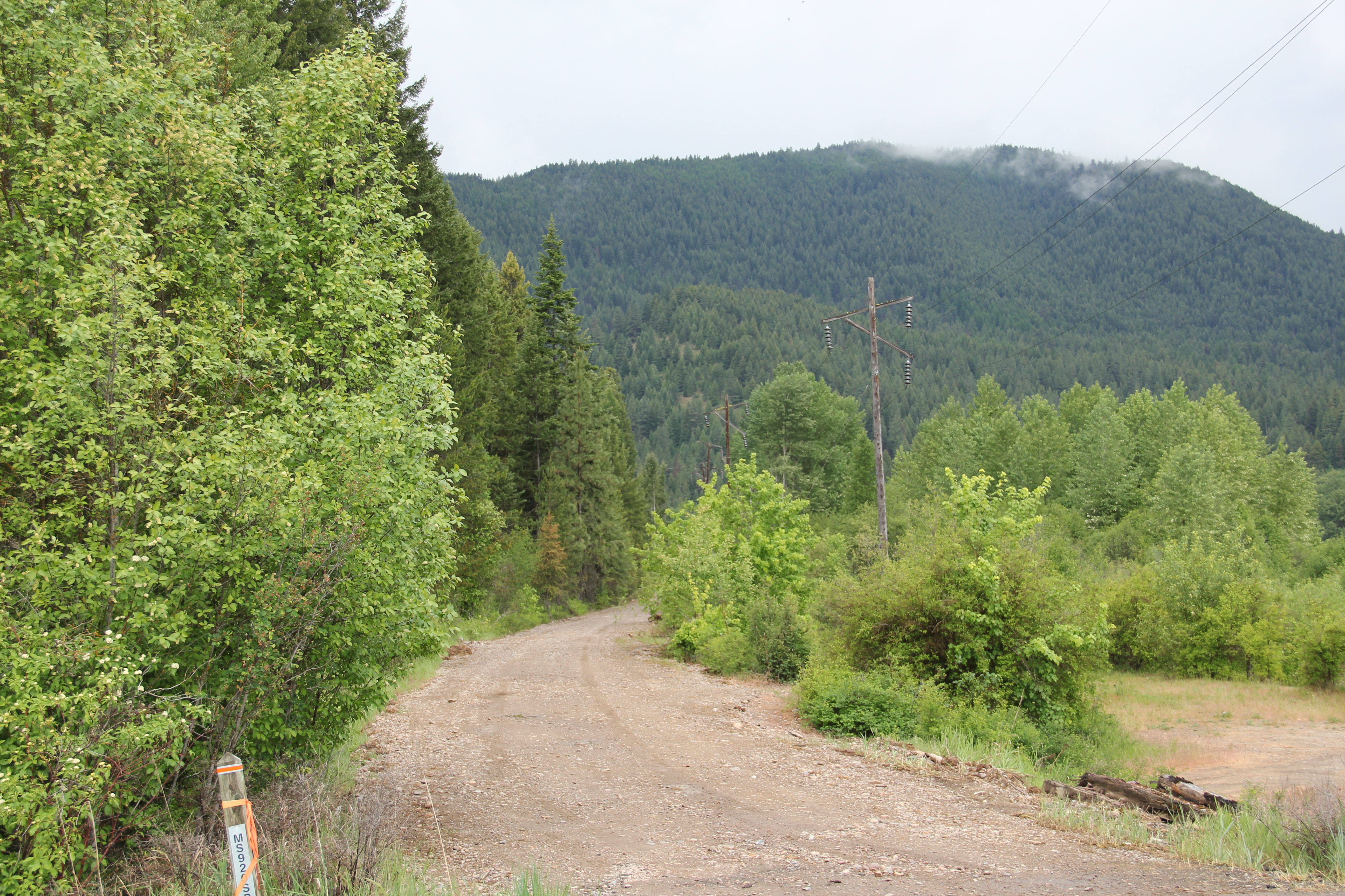 Note in the photograph above, how one of the distinctive electric power poles that carried electricity to the Milwaukee’s engines remains in place. In the central part of Montana, many of these poles are long gone from the corridor. The Milwaukee’s stretch of electrified track began in Harlowton and ended in Idaho–and the St. Regis to Idaho section has some of most intact features of this distinctive engineered landscape.
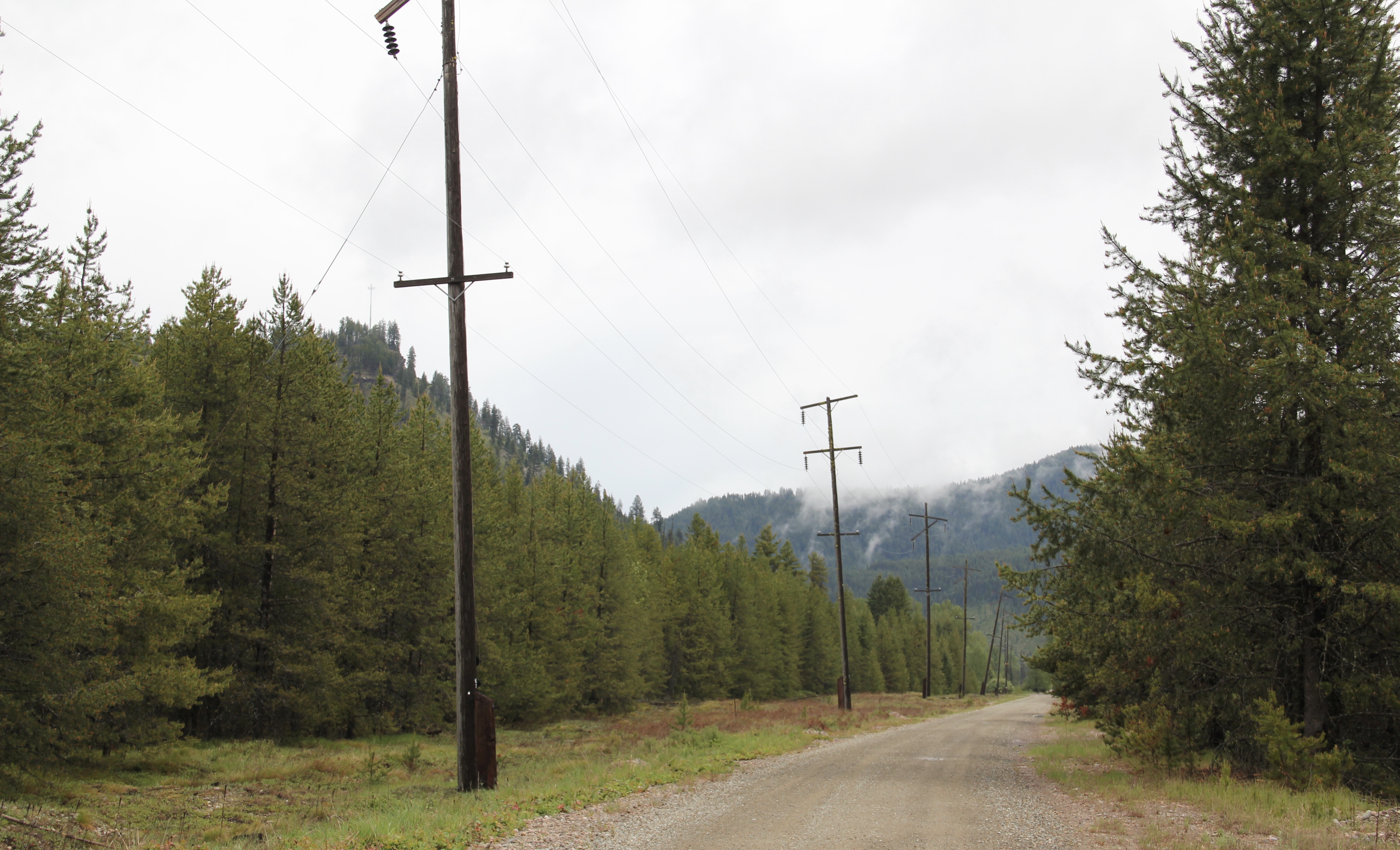
 The village of Haugan is also the location of the Savenac Nursery, which the U.S. Forest Service established here c. 1907, as the Milwaukee’s tracks were being constructed. Under the direction of Elers Koch of the forest service, Savenac’s became one of the largest seedling operations in the department of agriculture, yielding as many of 12 million seedlings in one year.
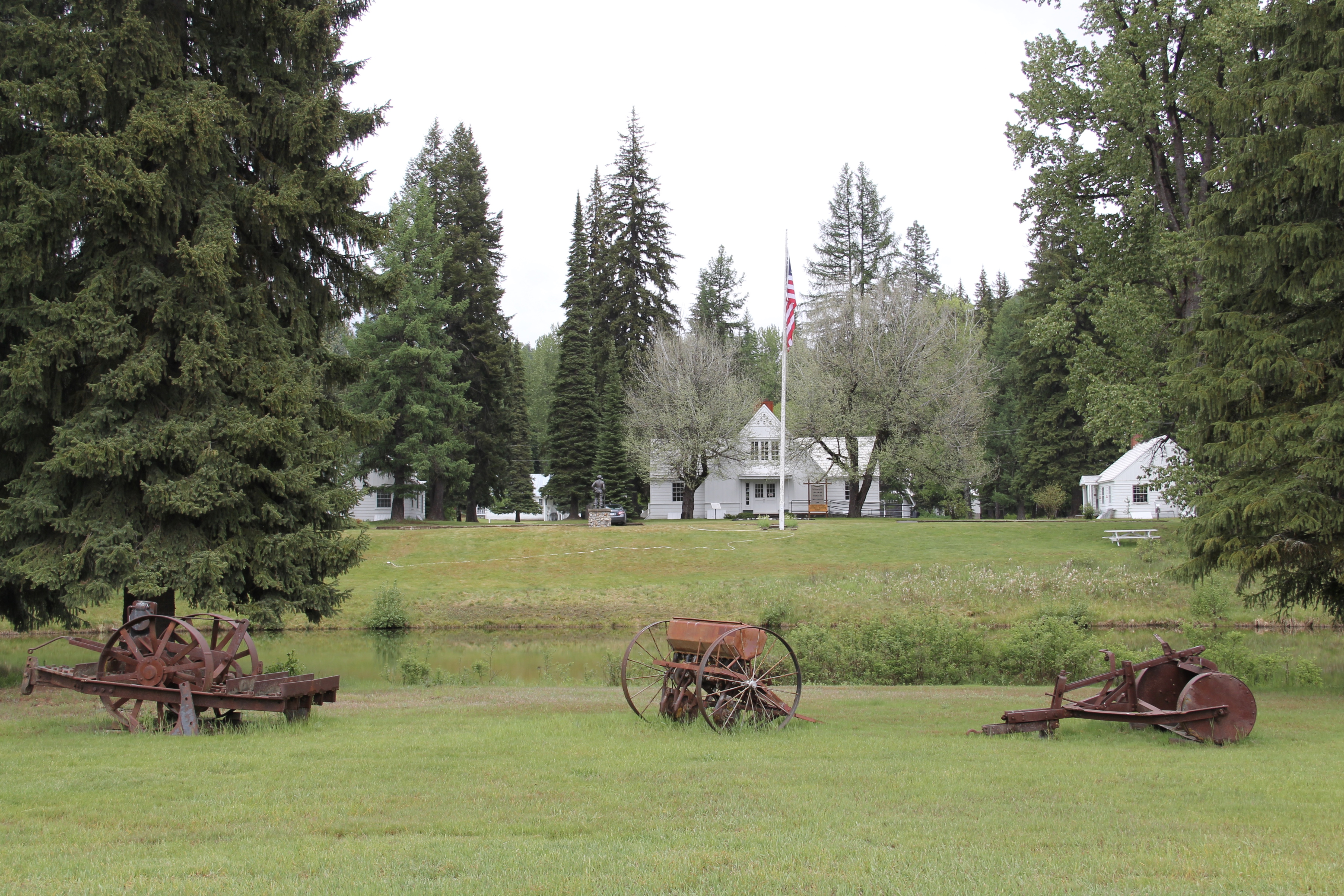 The historic nursery is open to the public, another example of the important work that the Forest Service has carried out for both preservation and public interpretation in the last 30 years. Listed in the National Register of Historic Places, the property has a museum that operates in the tourist season.
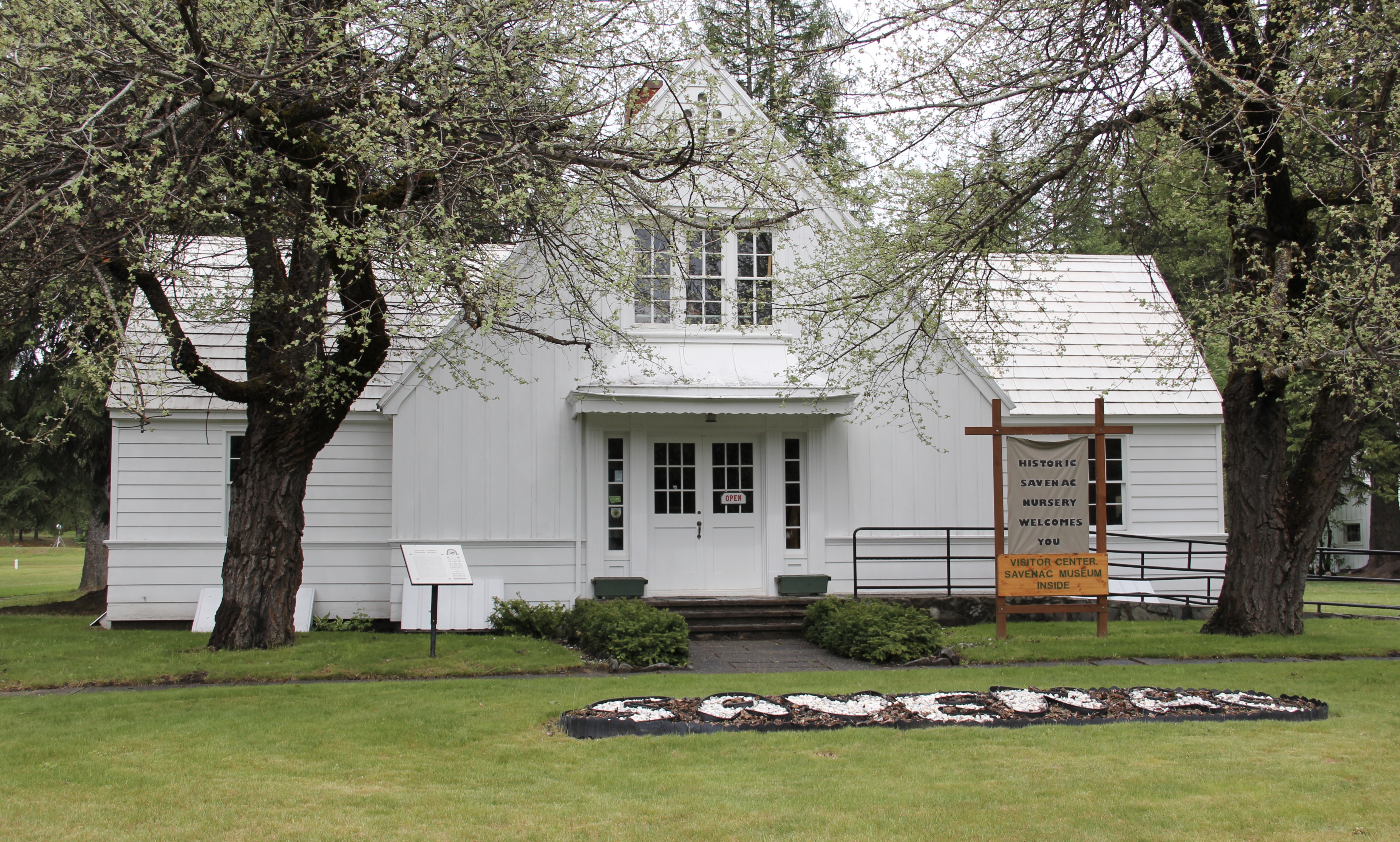


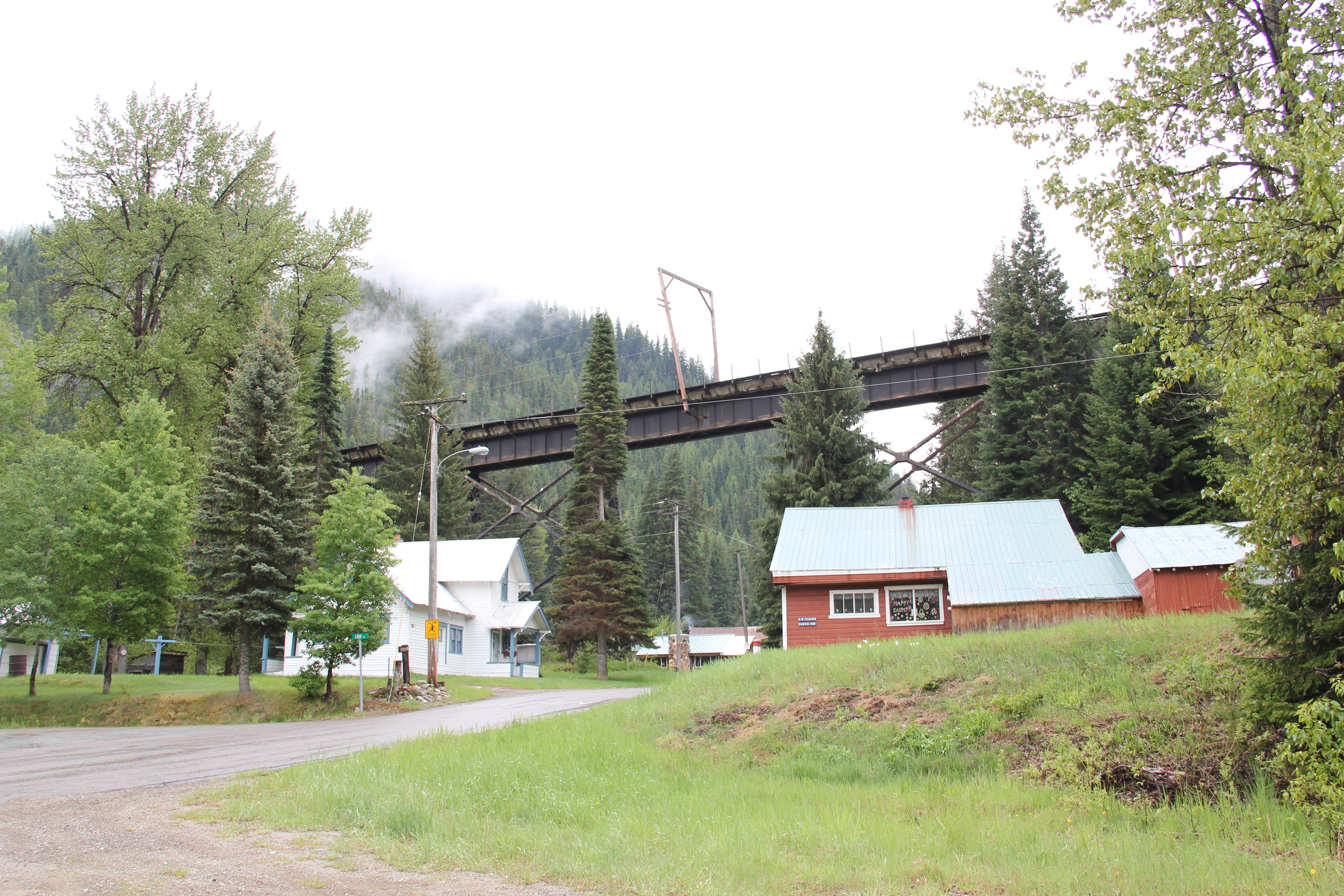
 Haugan is also home to one of the state’s modern pieces of roadside architecture along the interstate, Silver’s truck stop, restaurant, bar, and casino.
 Saltese’s contemporary styled school from c. 1960 remains but has closed. Its historic motels and businesses, as well as an abandoned c. 1930 gas station on old U.S. Highway 10, welcome travelers from the west to Montana.


 The railroad trail route from Taft provides access to some of most spectacular industrial ruins of the old Milwaukee route left in the west.
 It is a land watered by the river, framed by the mountains, and famous for its beef–which they even brag about at the crossroads of Montana Highways 200 and 83.
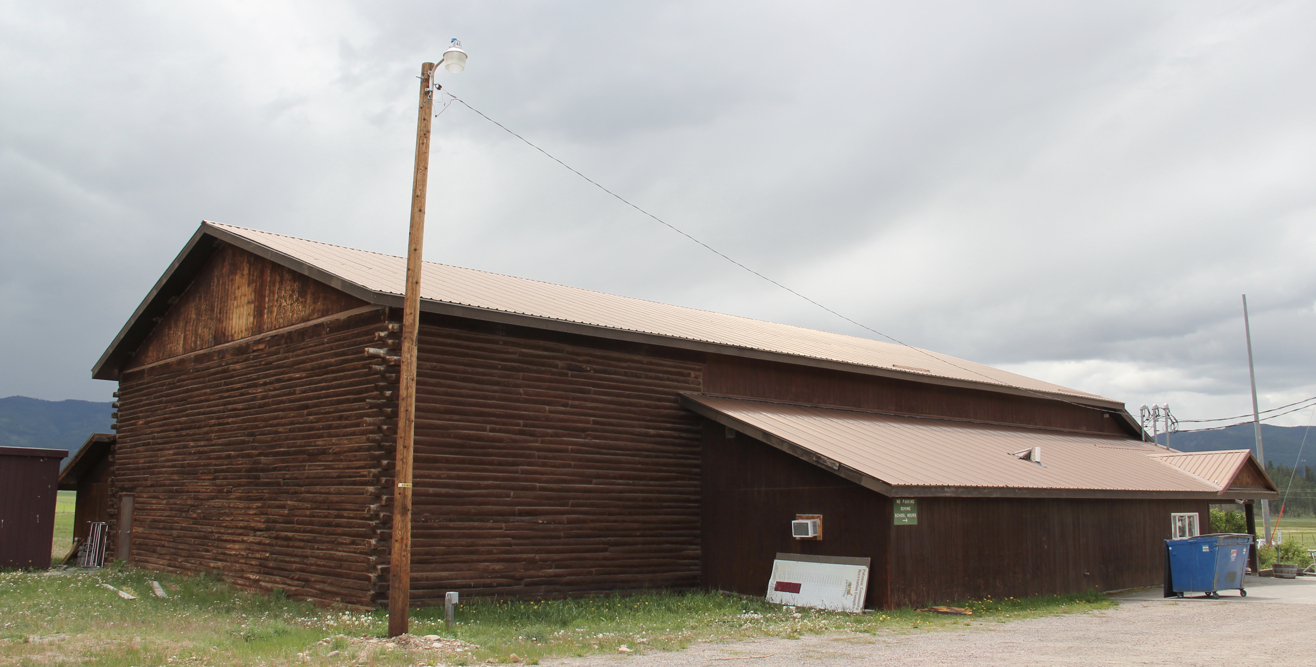
 But soon after passing the junction, you enter a much different landscape, particularly at the point where the Blackfoot River meets the Clark’s Fork River. This is an industrial world, defined by the company town design of Bonner and the active transportation crossroads at Milltown. Suddenly you shift from an agricultural landscape into the timber industry, which has long played a major role in the history of Missoula and northwest Montana.
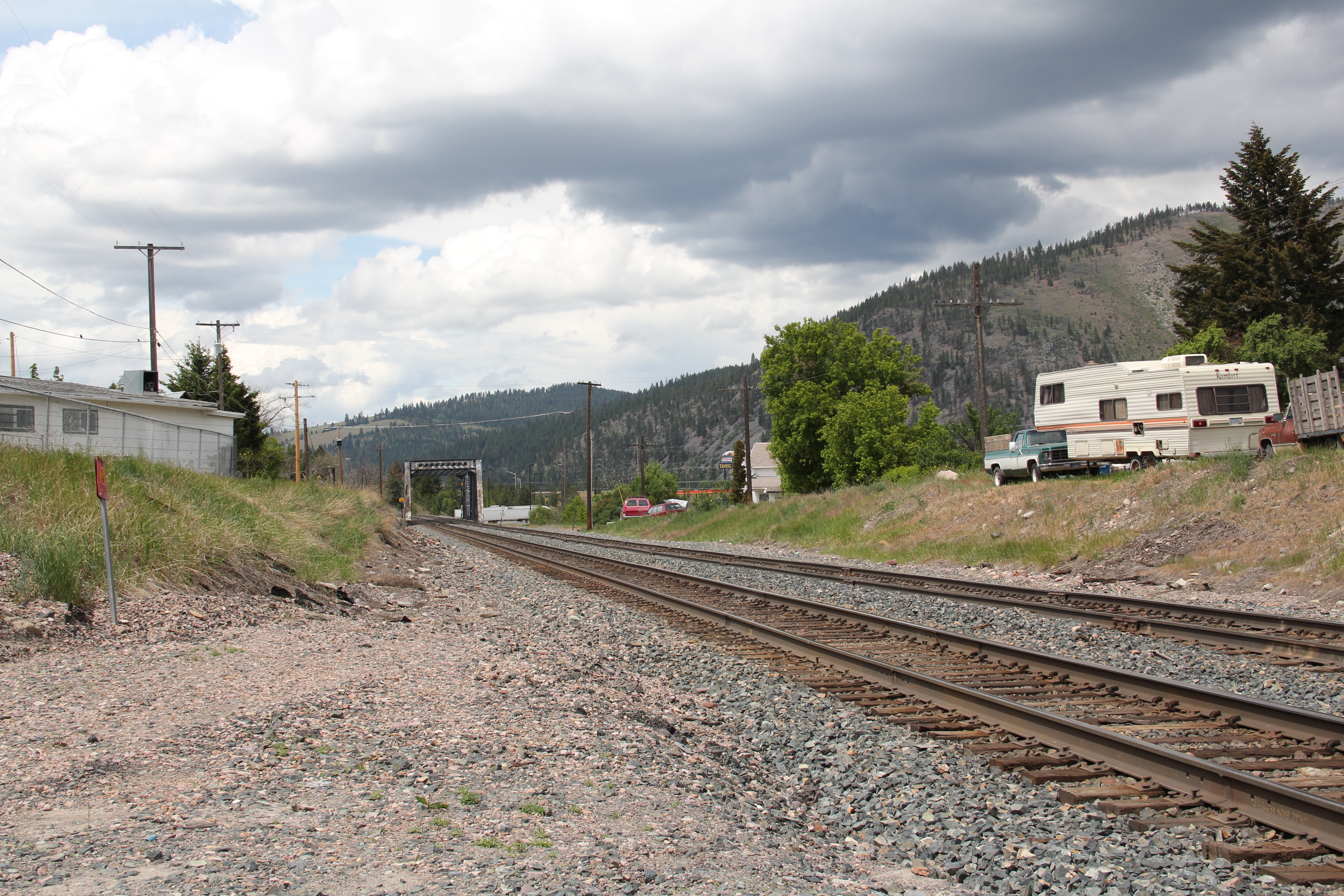 In 1881 the Northern Pacific Railroad was approaching the river confluence. It contracted with a company led by E. L. Bonner, Andrew Hammond, and Richard Eddy to supply everything the railroad needed but steel as it passed through the region. Two years later the railroad provided the capital for Bonner, Hammond, Eddy, and M.J. Connell to establish the Montana Improvement Company. In c. 1886 the improvement company dammed the rivers and built a permanent sawmill–the largest in the northern Rockies, and created the town of Bonner. The sawmill works and town would later become the Blackfoot Milling and Manufacturing Company and eventually by the late 1890s it was under the control of Marcus Daly and his Anaconda Copper Company. Anaconda ran Bonner as a company town until the 1970s.
 Although buildings have been lost in the last 30 years, especially at the sawmill complex which had a disastrous fire in 2008 and a heavy snow damaged another historic structure in 2011, I found Bonner in 2014 to remain a captivating place, and one of the best extant company towns left in Montana.
 Montana Highway 200 passes through the heart of Bonner while Interstate I-90 took a good bit of Milltown when it was constructed in the 1970s. Both Bonner and Milltown are heavily influenced by transportation and bridges needed to cross the Blackfoot and Clark’s Fork rivers.
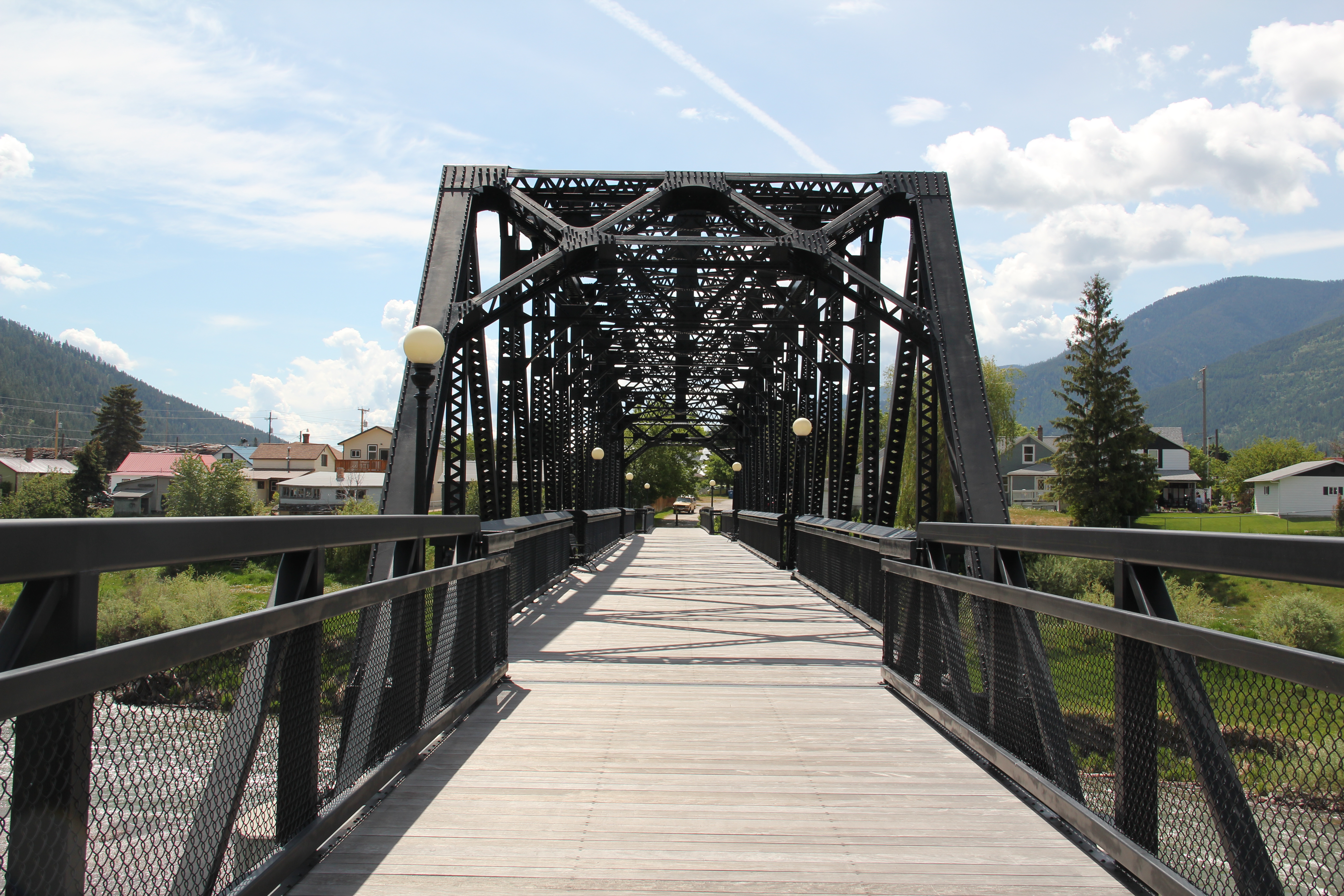 The Milltown Bridge has been restored as a pedestrian walkway over the Blackfoot River. It is the best place to survey the Blackfoot Valley and the old sawmill complex.
 The pedestrian bridge and heritage trail serve as a focal point for public interpretation, for the Lewis and Clark Expedition, the Mullan Road, and then the lumber industry, which all passed this way over time, a conjunction of rivers and history that lie at the heart of the local and state (Milltown State Park) effort to interpret this important place.


 Nestled where Montana Highway 287 encounters U.S. Highway 287 in the southern end of Madison County, Ennis has changed in significant ways in the last 30 years. Its earlier dependence on automobile tourism to Yellowstone National Park has shifted into the favor of population growth and development in this portion of the county.
 The iconic Ennis Cafe, always a favorite place back in the day of the statewide work, remains, with a new false front emphasizing the wildlife and open spaces of this area. That place, along with several classic watering holes, served not only locals but the


 of a section of the highway where you will encounter magnificent views of the Madison River Valley and open ranch lands.


 Then Senator Moss took me for a quick tour of its late 1990s renovation in 2007–its conversion into law offices respected both its original spaces and interior design.