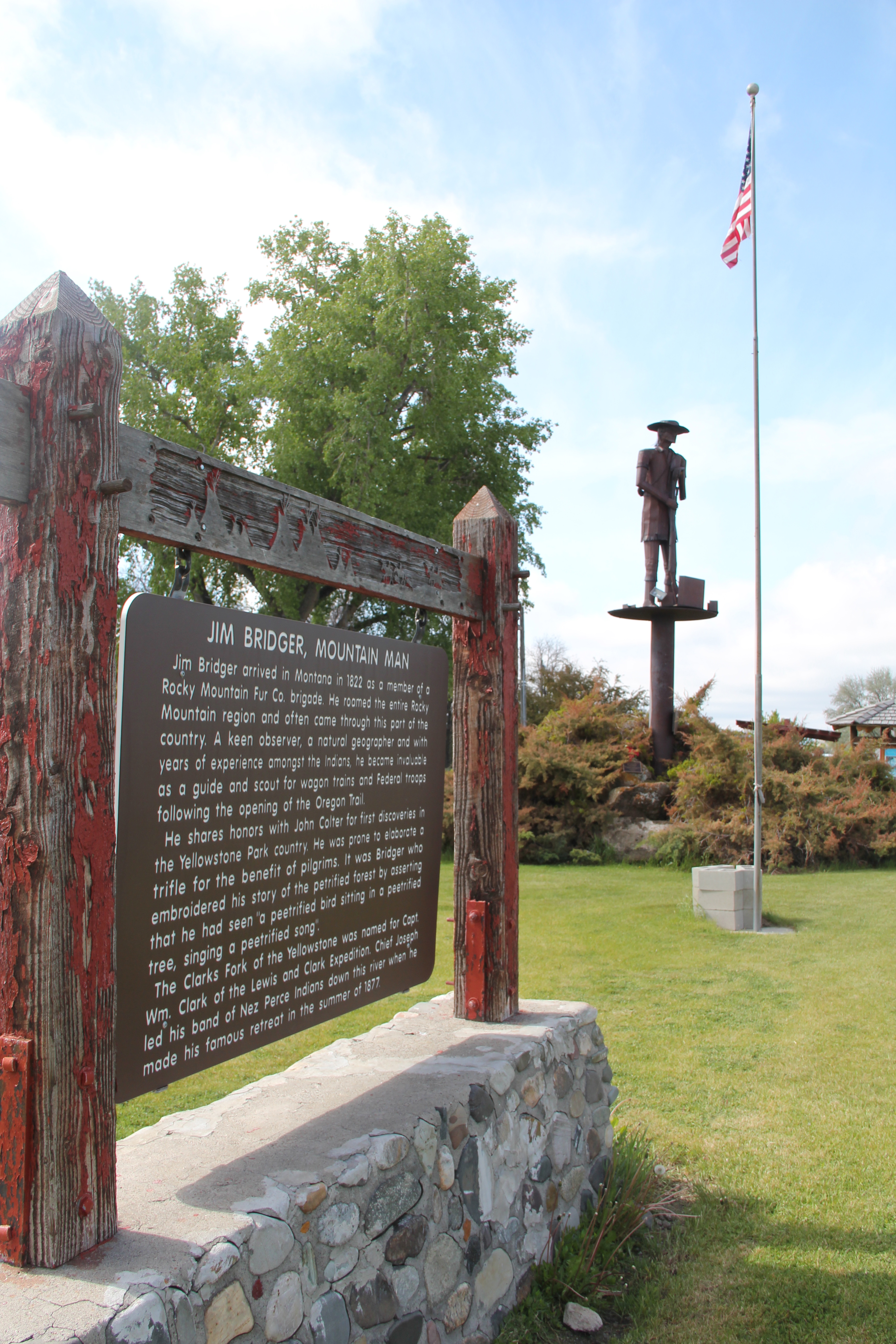
For whatever reason, readers of Montana’s Historic Landscapes have been very interested in Daniels County, way up in the northeast corner of the state. In previous posts I have discussed the Daniels County Courthouse–one of my favorites–the county’s historic rural schools and Flaxville, one of the most interesting tiny towns left from the homesteading era in all of eastern Montana.

Today I want to look back at Scobey, the seat of Daniels County, which was established in 1920 at the end of the homesteading era. Sometimes it is referred to as the most isolated county seat in America. But whatever its isolation may be, I found Scobey a relaxing, interesting place, and actually took many images. But outside of the courthouse, schools, the fairgrounds, and wonderful Pioneer Museum, I did not share much with the readers. This post changes that.
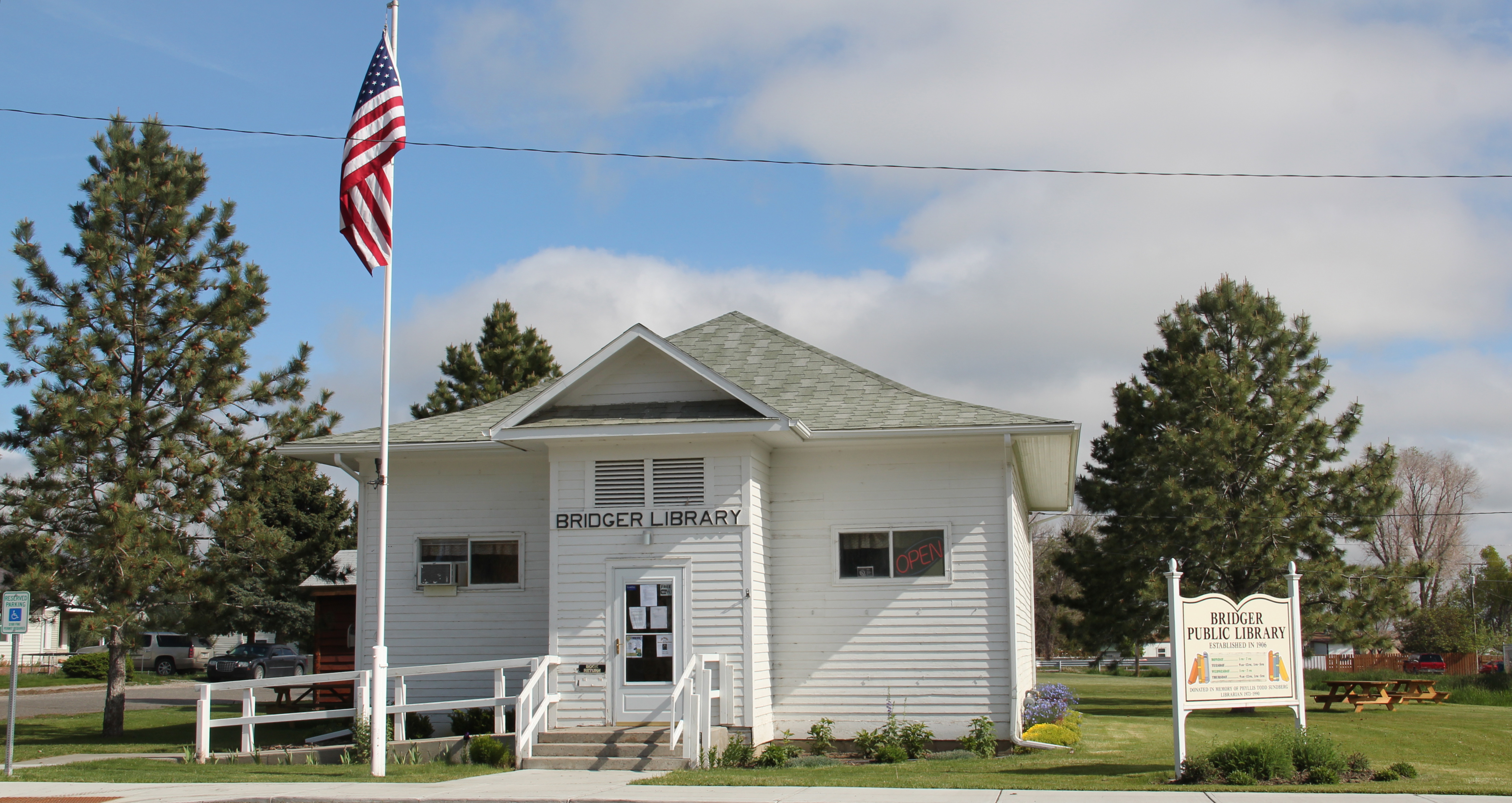
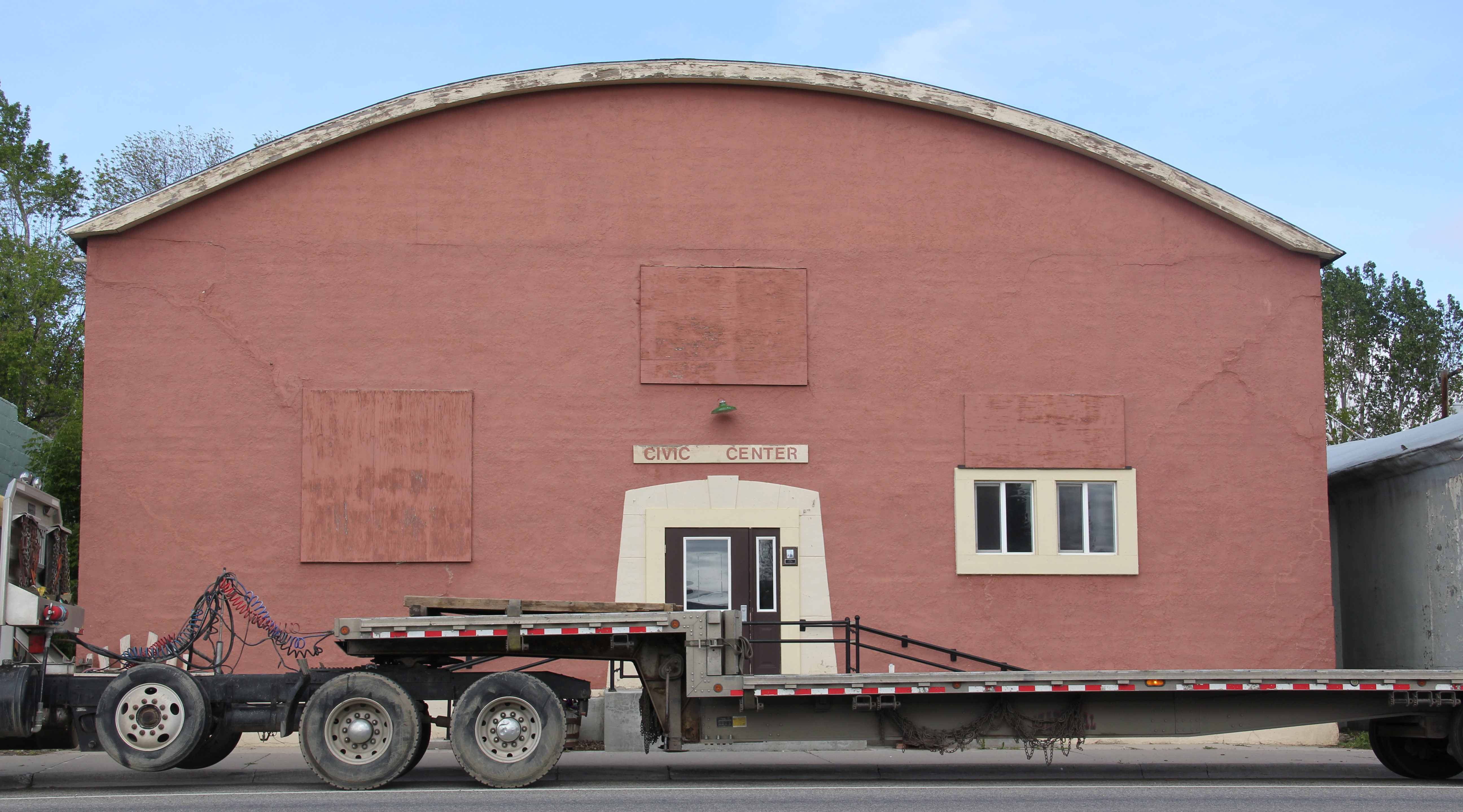
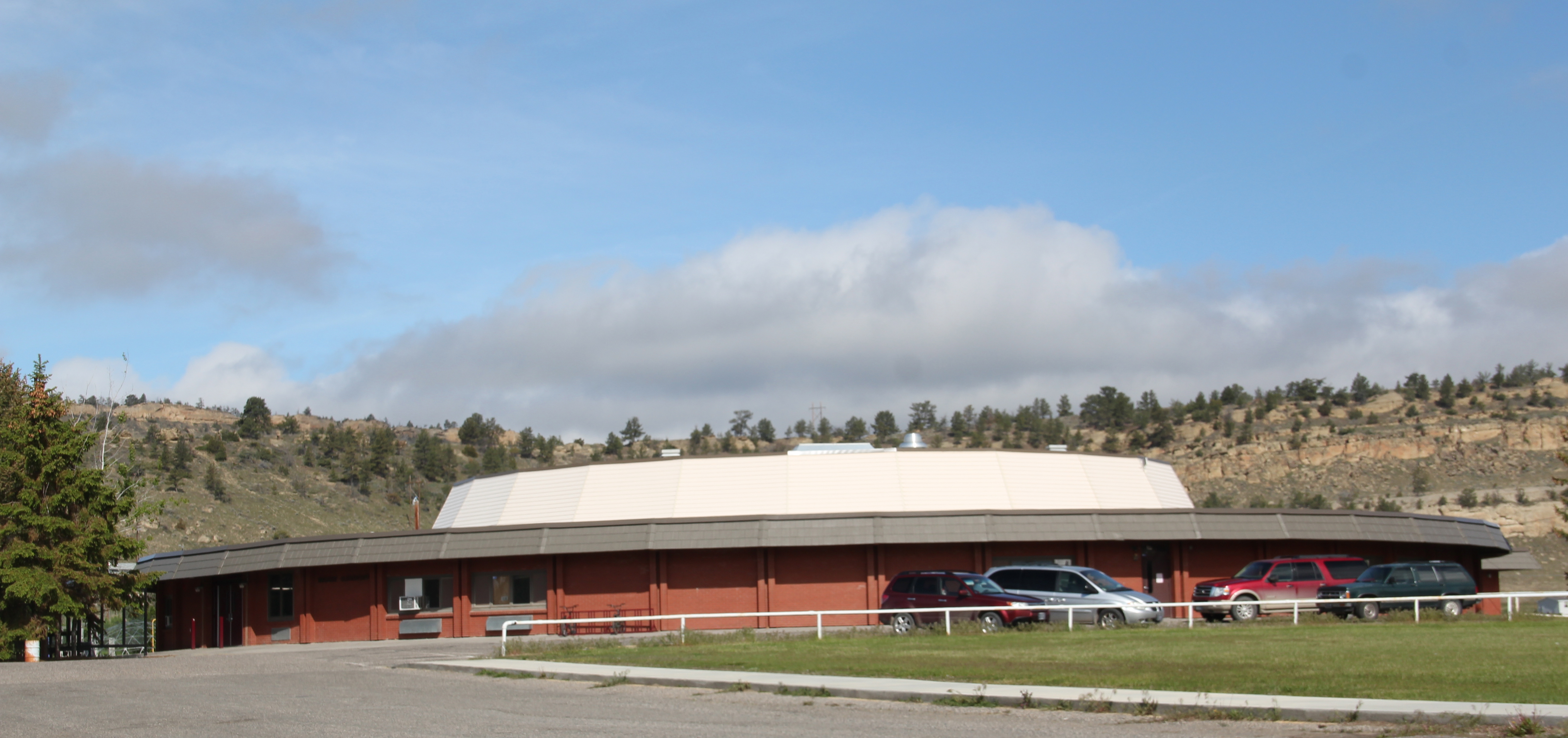
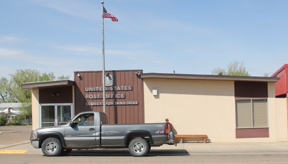
 The county library, above, is small but busy, a reminder of how important these public buildings can be. About 5 years ago, the time of my last visit, Scobey still had its own medical center, below, as well as a distinctive post office, different from many in the region due to its modernist style.

Much of its past remains, and remains in use. The railroad corridor had changed–the passenger depot was gone, but historic grain elevators still mark how Scobey was a major grain shipping point for much of the 20th century.

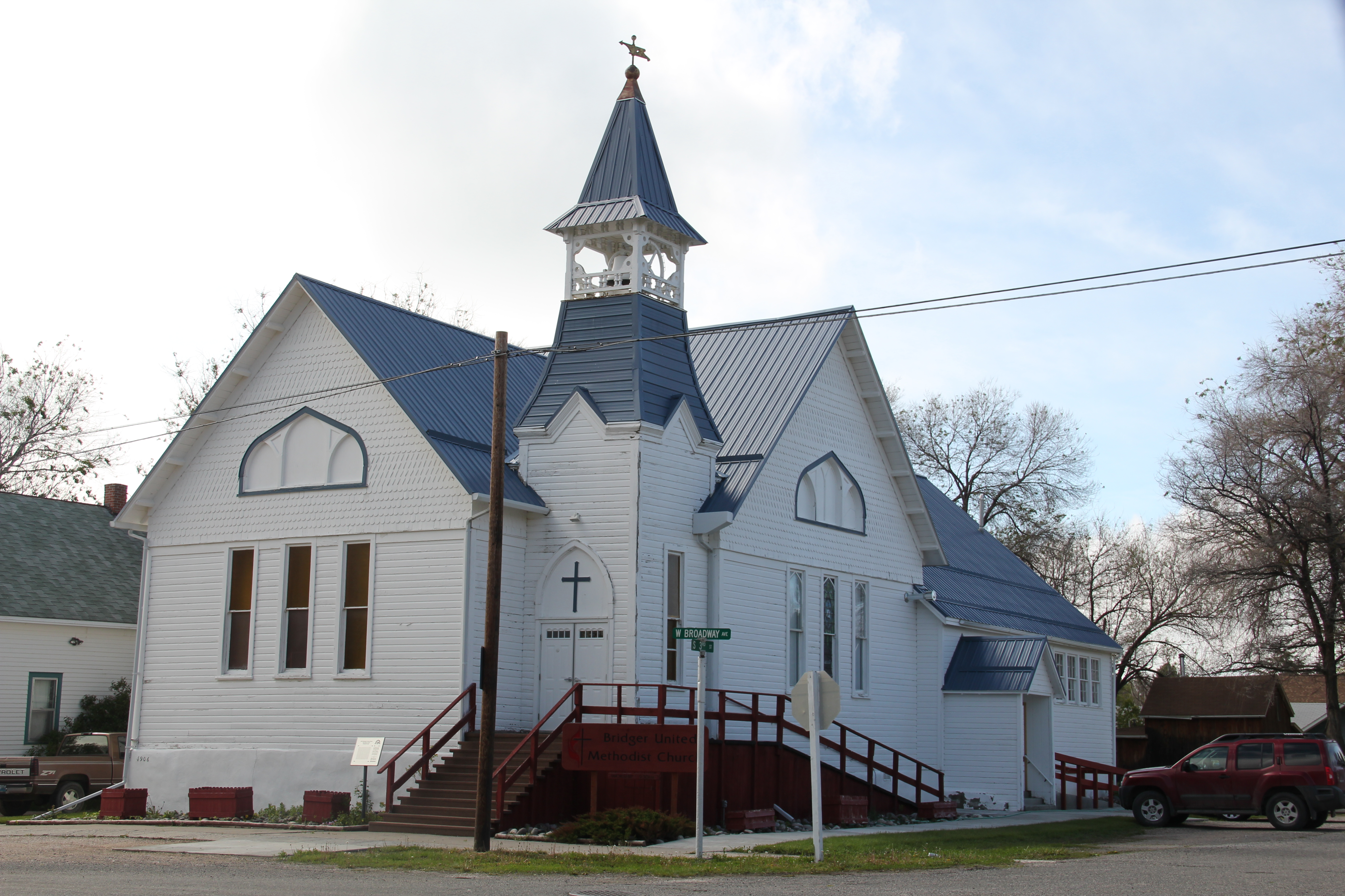
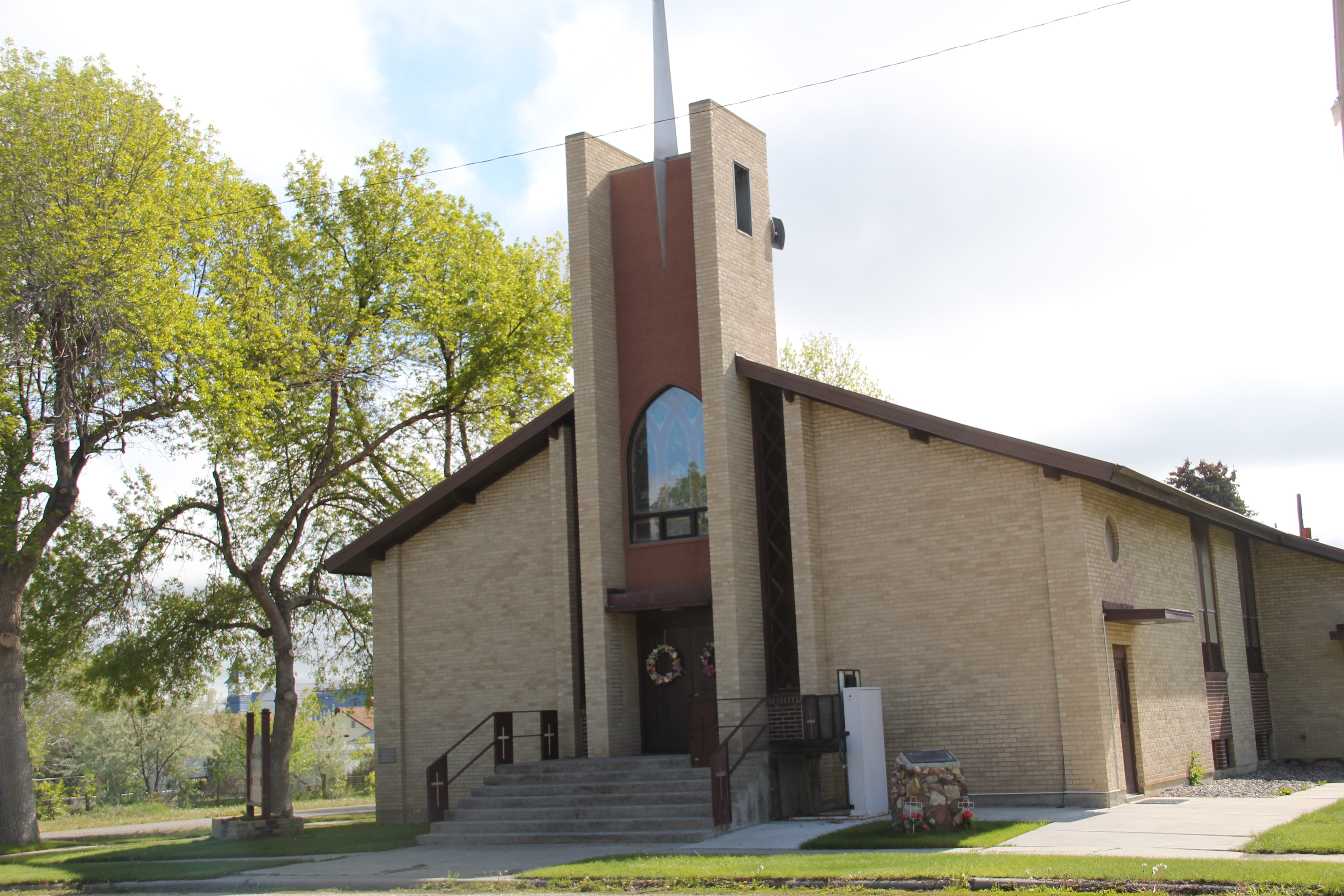
Historic churches have left deep roots in Scobey. Below are the Scobey United Methodist Church, the Scobey Lutheran Church (which has a wonderful Gothic altar), and St. Bonitus Catholic Church, another example of mid-century modern in the Catholic church buildings of Eastern Montana.


The residential area has plenty of vernacular-styled 20th century homes, most from the first half of the century. I particularly liked the next two bungalows on Timmons Street.


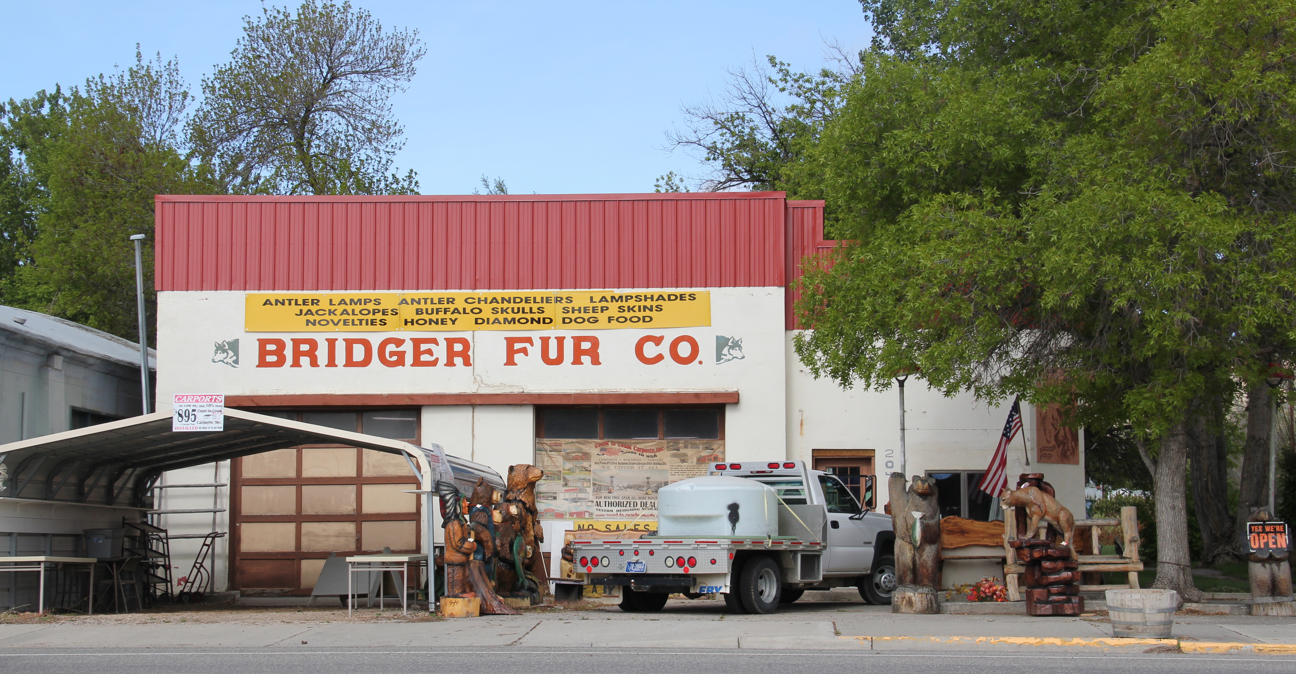
Five years ago the business district had clearly weathered the 2007-2008 recession and lots of stores and bars were open, anchored by Independence Bank, another example of 1960s-1970s modern commercial style in Scobey.


There is a persistence in Scobey that is admirable. The Daniel County Leader, the local newspaper, also has weathered the storm of media change in the 21st century and stands in the heart of town, still undoubtedly serving as a community communication center.

How I missed these properties in my initial post–well I can’t explain that. I am sure I had a good reason 5 years ago. But what is really inexplicable to me is why I did not share more of my photos from the Scobey School–especially its football and track field below–

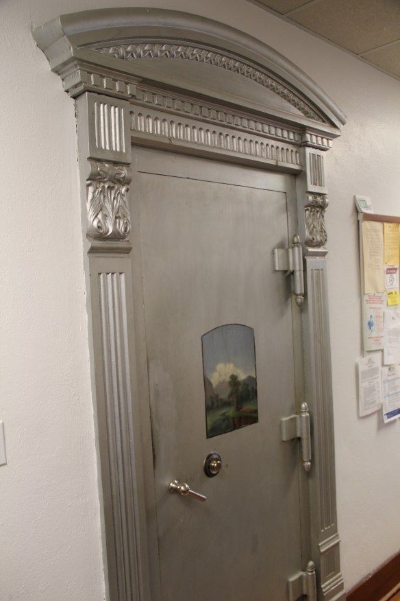
along with more interior images from the Daniels County Courthouse, the one building in Scobey that is listed in the National Register of Historic Places. Here you see the courthouse’s long hallway (with its National Register sign in the corner), the records vault, the courtroom’s jury box, and the jury room. Just walking into this place takes me to the beginning years of Daniels County.


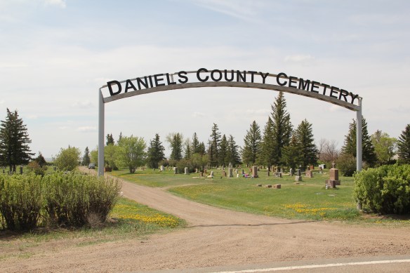
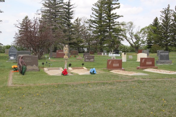
One property type many people ask about are cemeteries. Unfortunately I did not have the time to record every tombstone in these places–another time, perhaps. But I can add to the blog additional images from the Daniels County Cemetery, which lies outside of Scobey. These images hardly cover everything but they do document what a special place this tiny county seat is, for residents and for visitors willing to go exploring.


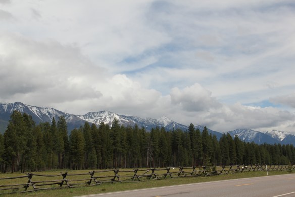 Missoula County has grown, a lot, since my state historic preservation plan work in 1984-1985, especially in the county seat of Missoula and surrounding suburbs. Yet Missoula County still has several spectacular rural drives, like Montana Highway 83 above at Condon, along with distinctive country towns. This post will share some of my favorites.


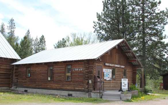 The Condon Community Center and adjacent Swan Valley Community Library serve as additional hubs for those living along the lakes and mountains of northeast Missoula County. Both buildings are excellent examples of mid-20th century Rustic style–a look that, in different variations, dominates the Highway 35 corridor.
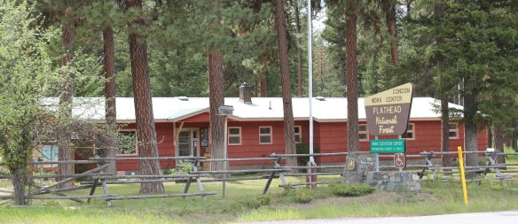
 Condon is also the base for the Condon Work Center, home to the Great Northern Fire Crew, of the Flathead National Forest. Here you can take a mile-long Swan Ecosystem Trail and learn of the diversity of life in this national forest region.
 South of Condon on Montana Highway 83 is Seeley Lake–a place that certainly has boomed in the last 30 years–witness the improved highway, new businesses, and population that has increased over 60 percent since my last visit in 1992. Yet it still had places rooted in the community’s earlier history such as the Sullivan Memorial Community Hall–a good example of mid-20th century Rustic style.
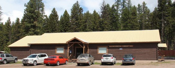 And it had added one of my favorite bits of roadside architecture in this part of Montana: the Chicken Coop Restaurant as well as opening a new Seeley Lake Historical Museum and Chamber of Commerce office at a spectacular highway location just outside of town.


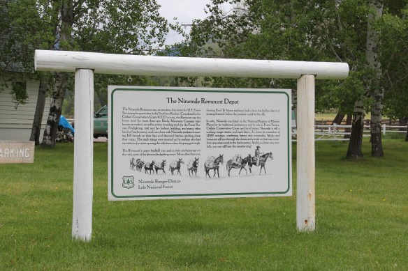
 I don’t recall even thinking about the forest service facility, but here was an entire complex devoted to the forest service’s use of mules and horses before the days of the ATV that was built by the Civilian Conservation Corps. The remount depot is an interesting


 The name Frenchtown dates to 1868 and is a reference to a number of French Canadians who moved here in the early settlement period. A National Register-listed church, the St. John the Baptist Catholic Church (1884) marks that first generation of settlers. Its classical-tinged cupola has long been the town’s most famous landmark.
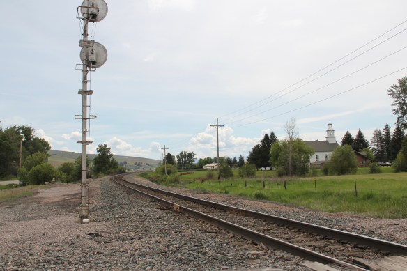
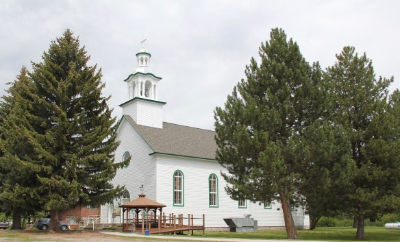 The Milwaukee Road built through here in 1907-1908 and there remains a handful of historic business buildings from the time of the Milwaukee boom. There is one landmark
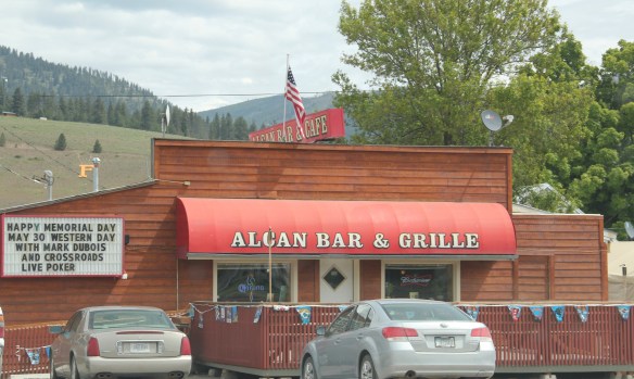
 another roadside landmark–the Bucksnort Bar, just further evidence to add to the Chicken Coop and the Alcan that you won’t go hungry if you explore the small towns of Missoula County.