Plains Country Towns in Montana’s Judith Basin

Created with GIMP

Milwaukee Road Corridor, Moore, 1984.

In my work with the State Historic Preservation Office in 1984-1985, my colleagues put up with many of my own peculiar interests and views of the Montana historic landscape, especially the focus on public buildings and the state’s railroad corridors.  My interests, however, in the country towns of the Judith Basin was probably always a puzzler; staff always wished I would press on to Lewistown, where some of the best preservation work in the state was taking place in the mid-1980s (much more on Lewistown a bit later).  But I must admit that the maze of small towns–never numbering more than 200 or so souls in any given place–created by the railroads as they fought for market dominance in the rich agricultural region of the Judith Basin some 100 years ago was just fascinating.

Moore Elevators Fergus Co

Grain elevators at Moore, 1984

And they remain so today.  The geographer John Hudson had provided basic insights on the creation, distribution, and purpose of the country towns in the larger development of the northern plains–he coined the phrase “plains country towns.” The constant elements that they all shared–oriented to the tracks, the dominance of grain elevators, the prominence of depots–underscore the railroad era origins.  But the towns all had their own individual places and statements, be it a woman’s club, a library, the school, and the bars and taverns.  Thirty years later, much was missing from what I experienced in 1984–every place lost population between 1980-2010–but much still remained, and residents seemed determined to keep it that way.

IMG_9782

IMG_9783

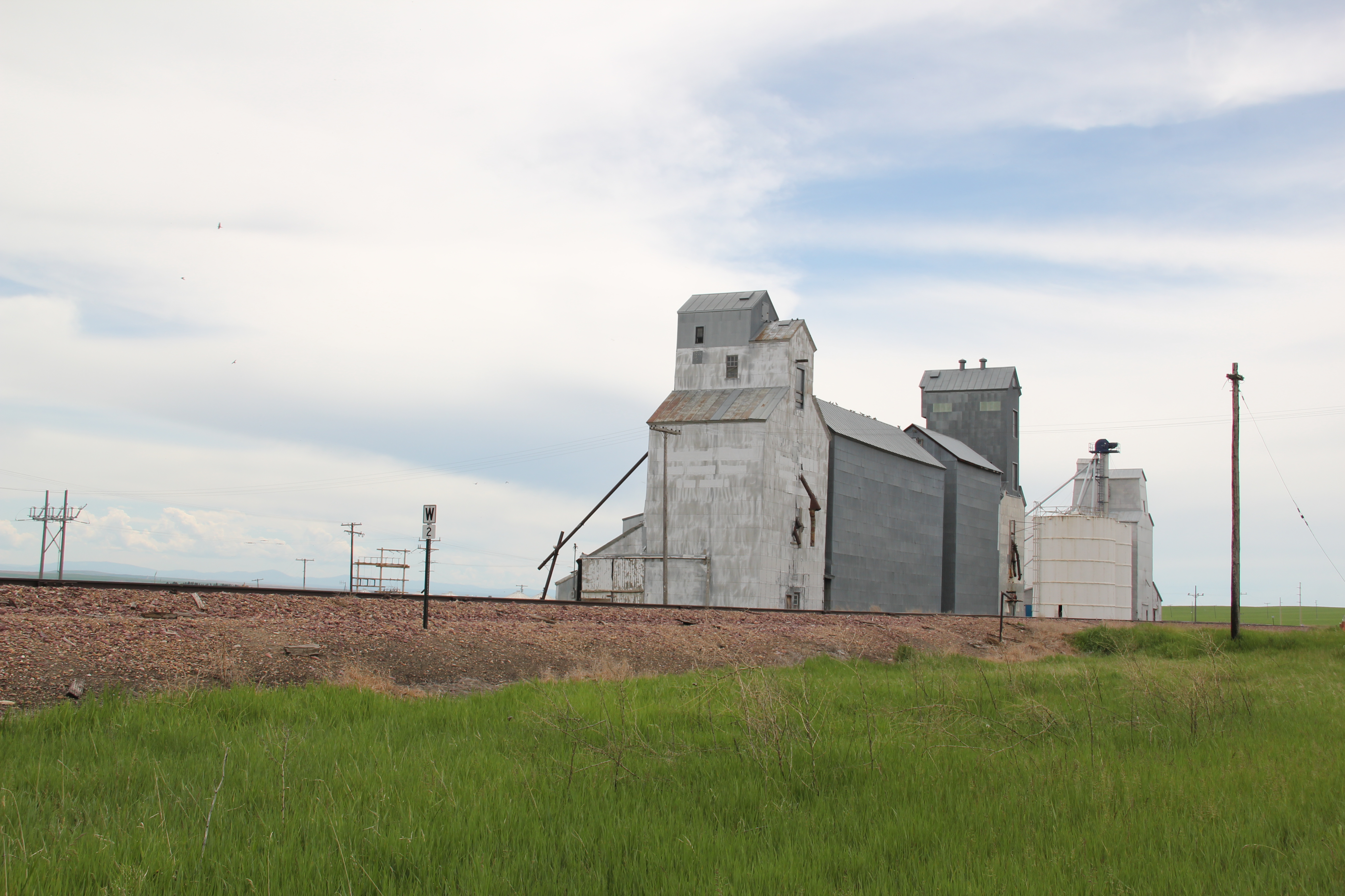
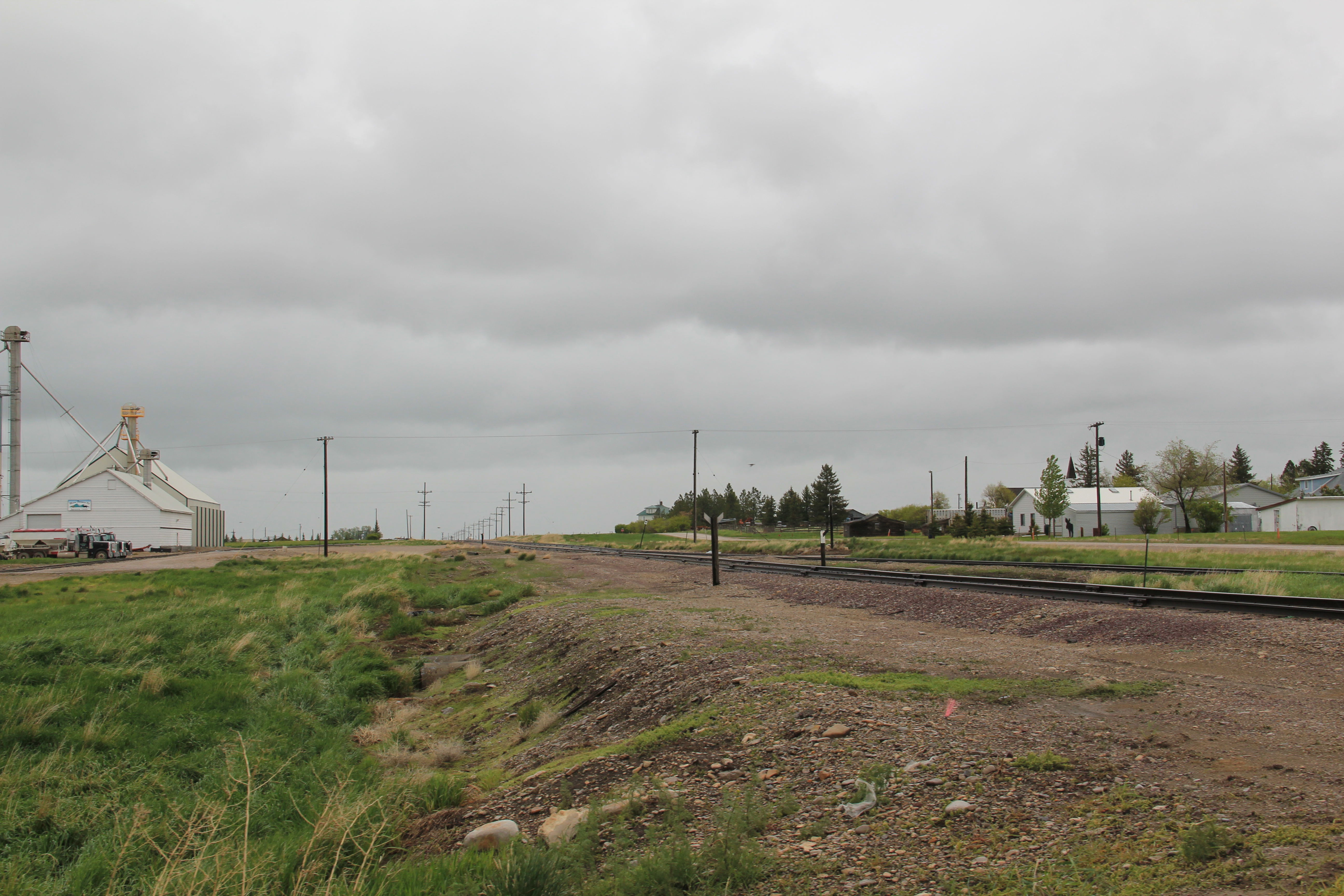
Moore still has its grain elevators but the Milwaukee depot is long gone, creating an empty space along the corridor.  Moore has the look of so many Milwaukee Road towns with a T-plan design apparent today even as the town decline from its height of 575 residents in 1920 to the 193 of today.

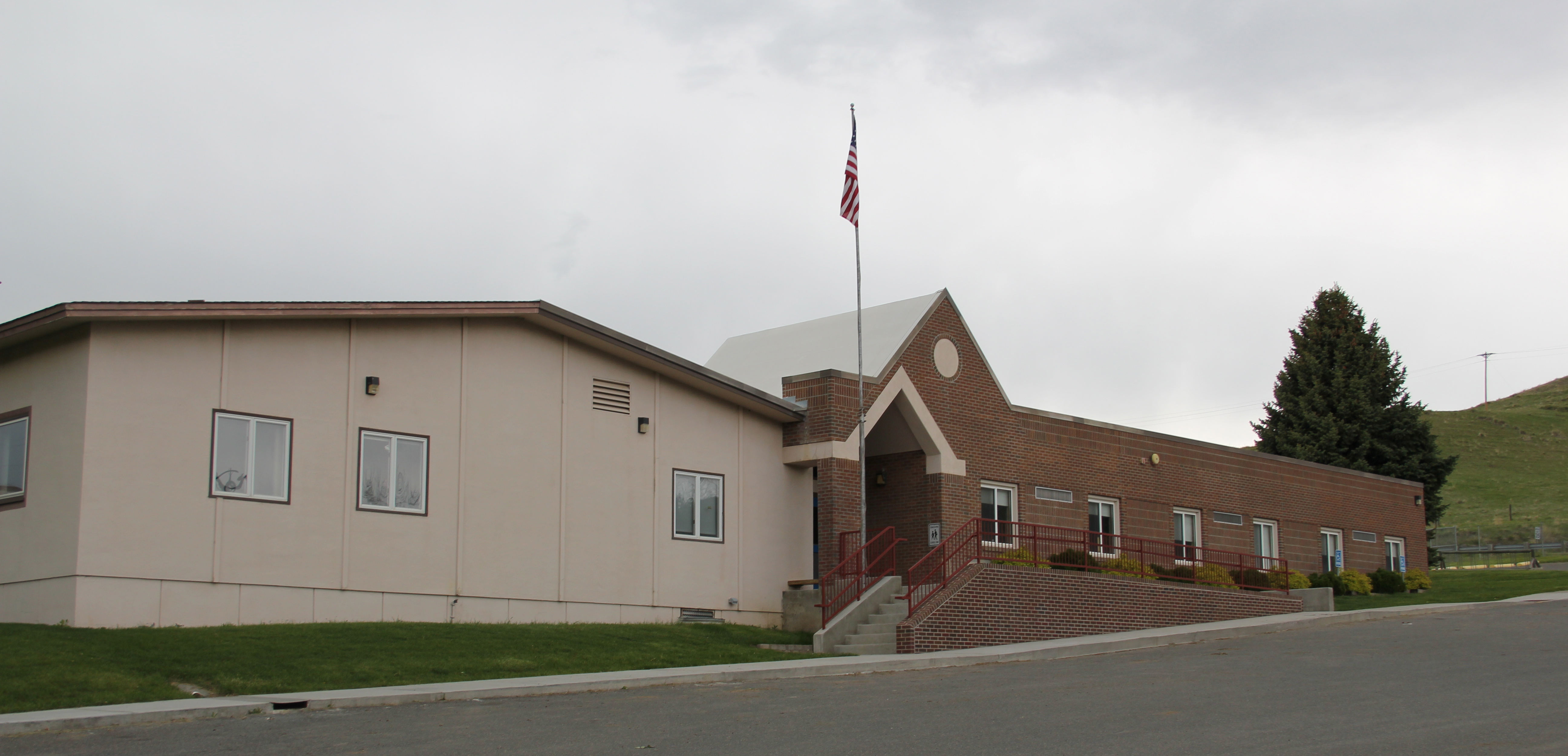
IMG_9790But the town, which compared to many I visited in 1984 had declined to a lesser degree (229 residents in 1980 to 193 in 2010), still has its public institutions.  The Moore Woman’s Club is celebrating its centennial in 2015 while the town’s public library is another key community center while the continued operation of the unassuming Moore public school

IMG_9787

IMG_9785_2is undoubtedly the major reason that the town is still here today.

IMG_9788

The Great Northern Railway spur line that snaked north from the Yellowstone Valley at Laurel through the Judith Gap then the basin was always a corridor of great interest to me, although the towns created along the way were small, seemingly inconsequential compared to the linking of Great Falls and Billings.
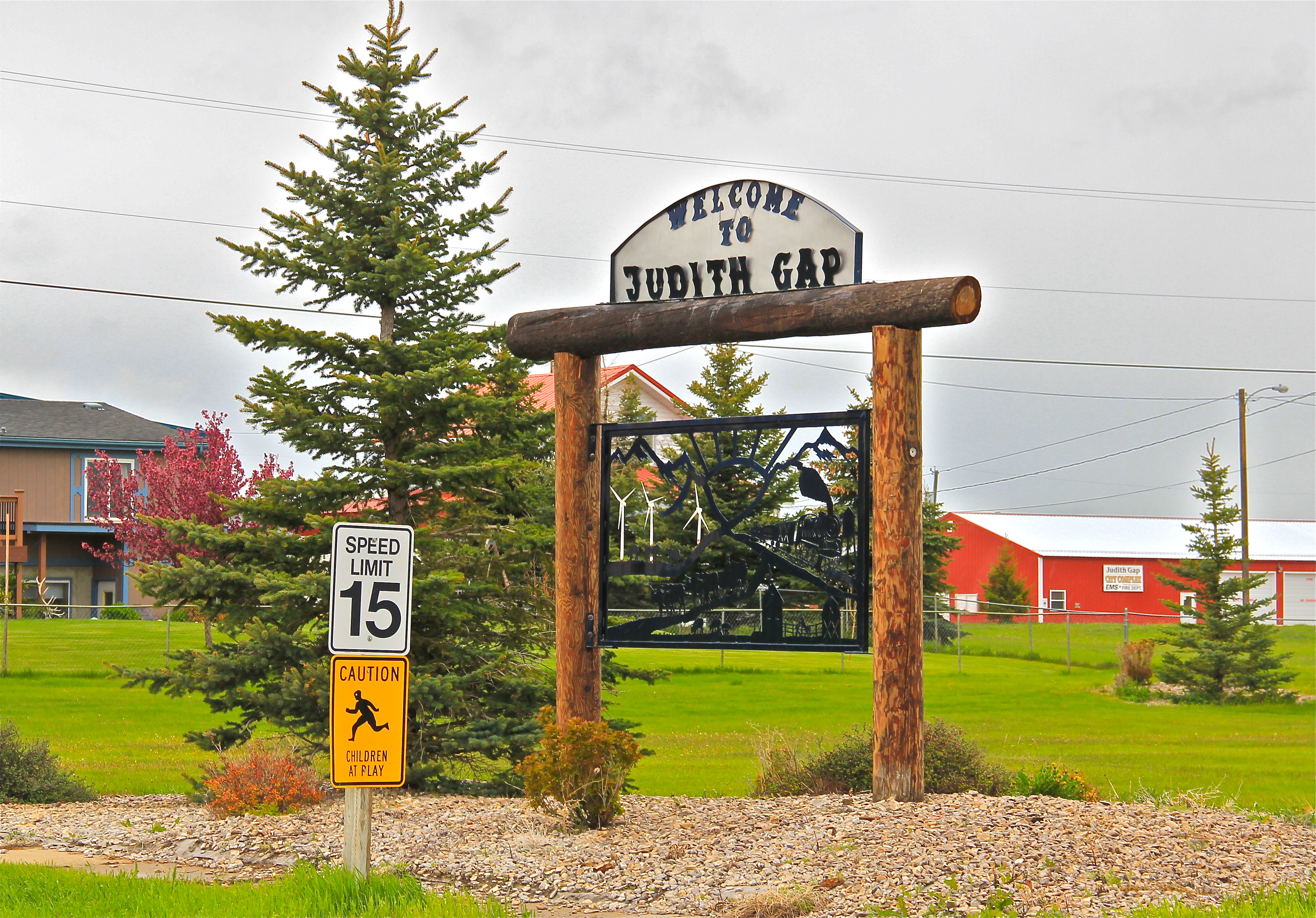
IMG_9770Traveling north out of the Yellowstone then Musselshell valleys, the Great Northern line entered the basin at Judith Gap, and the homesteaders who followed built a grand two-story brick school that spoke of their ambitions.

IMG_9769

The corridor then left in its wake places forgotten today.  Travelers along U.S. 191 may notice the old brick state bank building and elevators at Garneill, but they may not.

IMG_9779

The highway veers away from the railroad line at Garneill, meaning that the old state bank at Buffalo was a forgotten place in 1984–and the town remains so today.

Buffalo, Judith Basin Co (p84 35-15)

First State Bank, Buffalo, 1984.

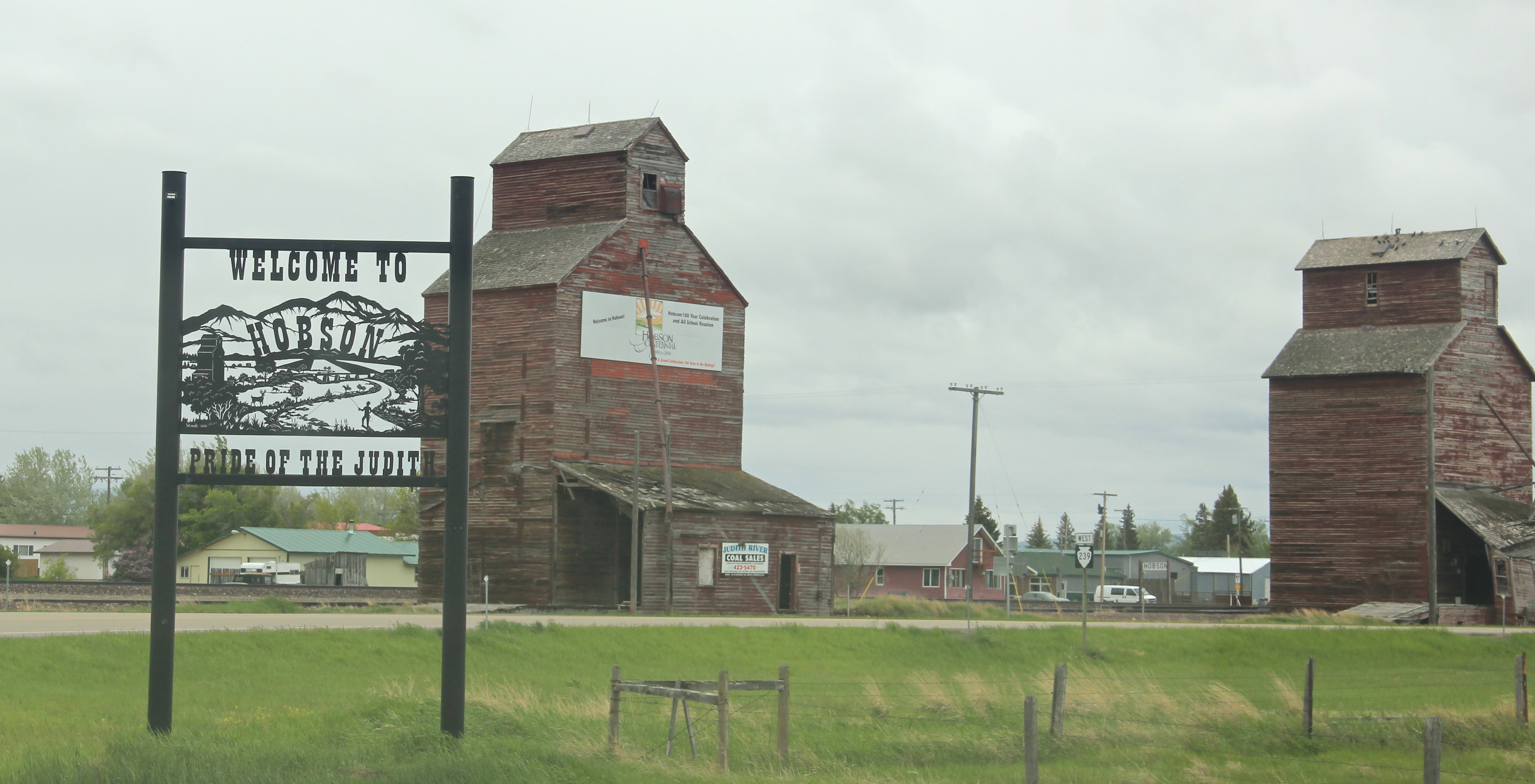
Hobson, on U.S. 87/Montana 200, has experienced a much brighter history. Its brick bank building houses a local bar.  While no depot remains, the town’s railroad line remains a IMG_9797
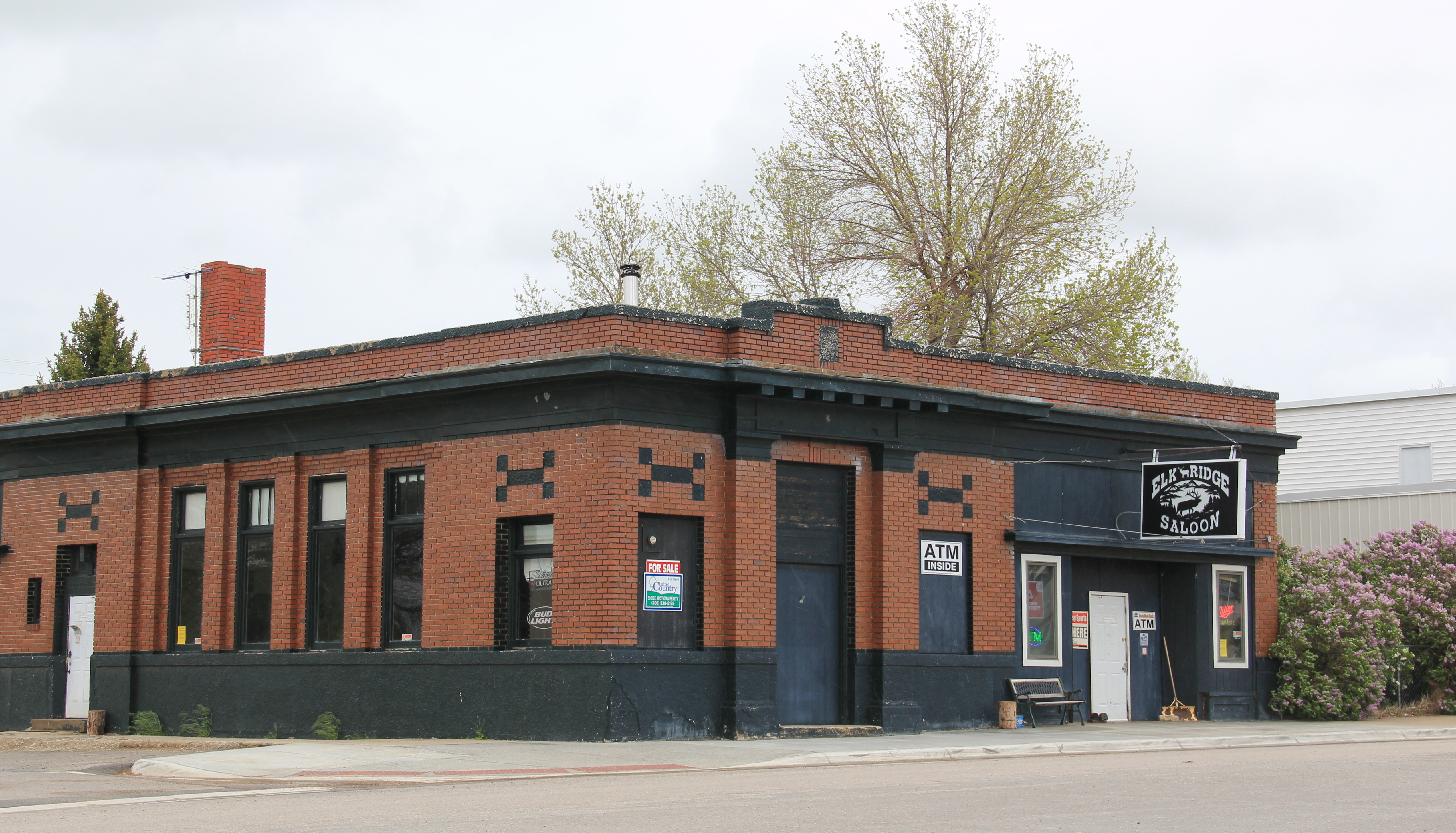
IMG_9792point of focus, although most traffic, commercial and otherwise, relies on the highway.  Hobson’s population when I visited in 1984 was at its height, 261 people in 1980, and it still tops over 200 today.  Another defining characteristic is Hobson’s rather unique (for a plains country town) boulevard plan.
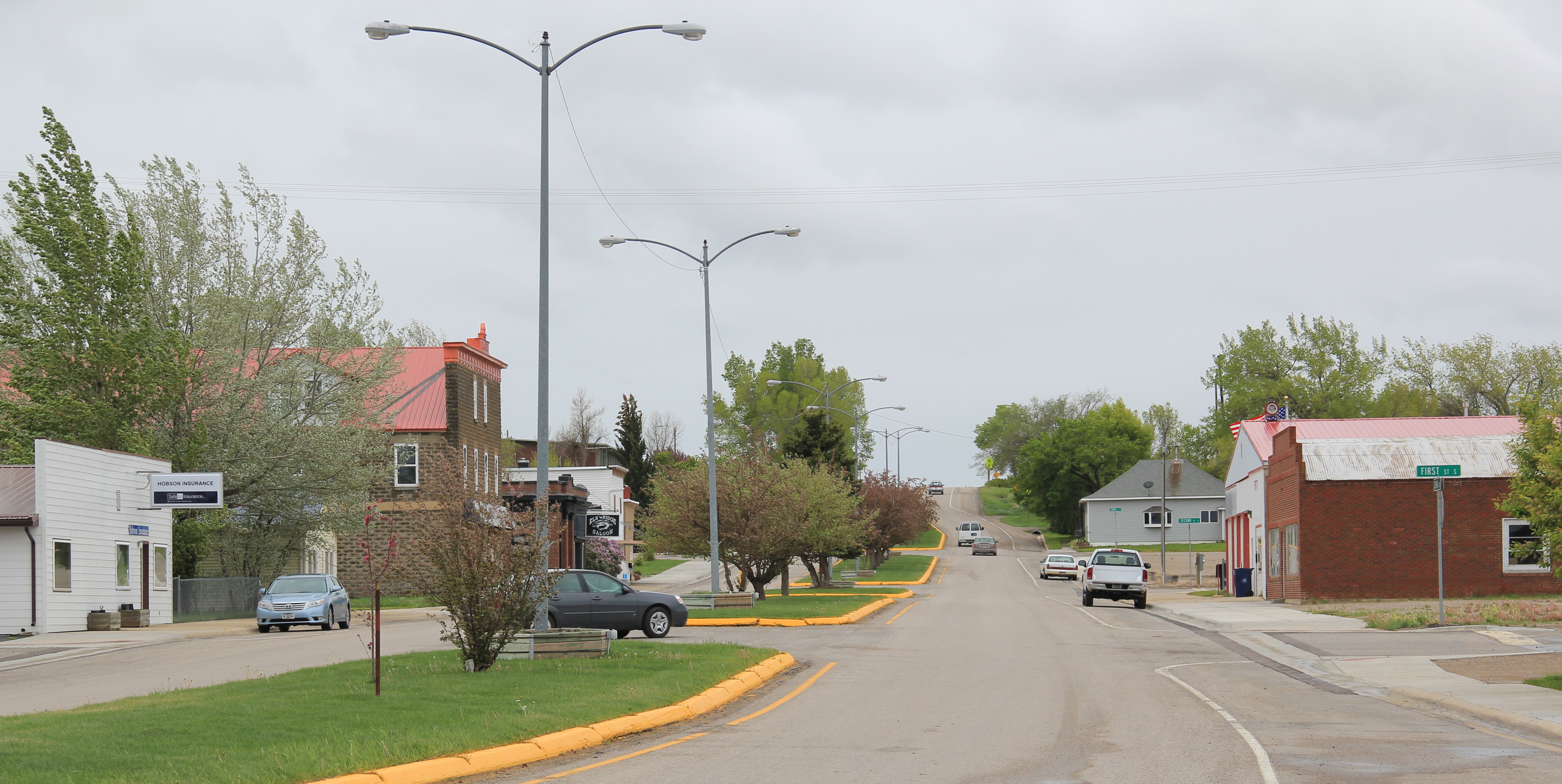
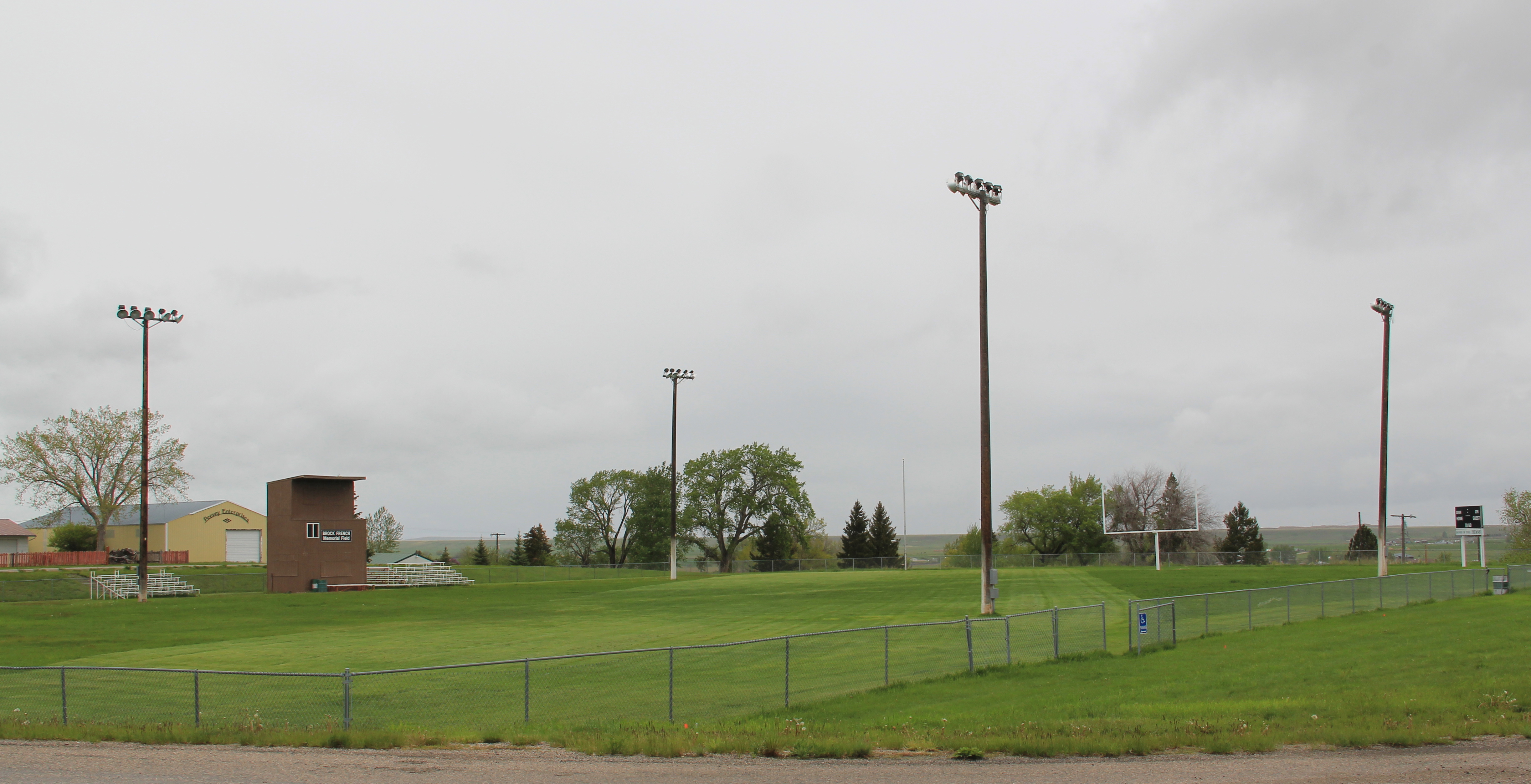
IMG_9794On either side lie business and public buildings and the street ends at the high school, where the six-man football field is a central element of the community’s public landscape.
IMG_9801The Murray Block, 1910, dominates the business district today as it much have done one hundred years ago–it is rare to see a false-front concrete block building.  The Masonic
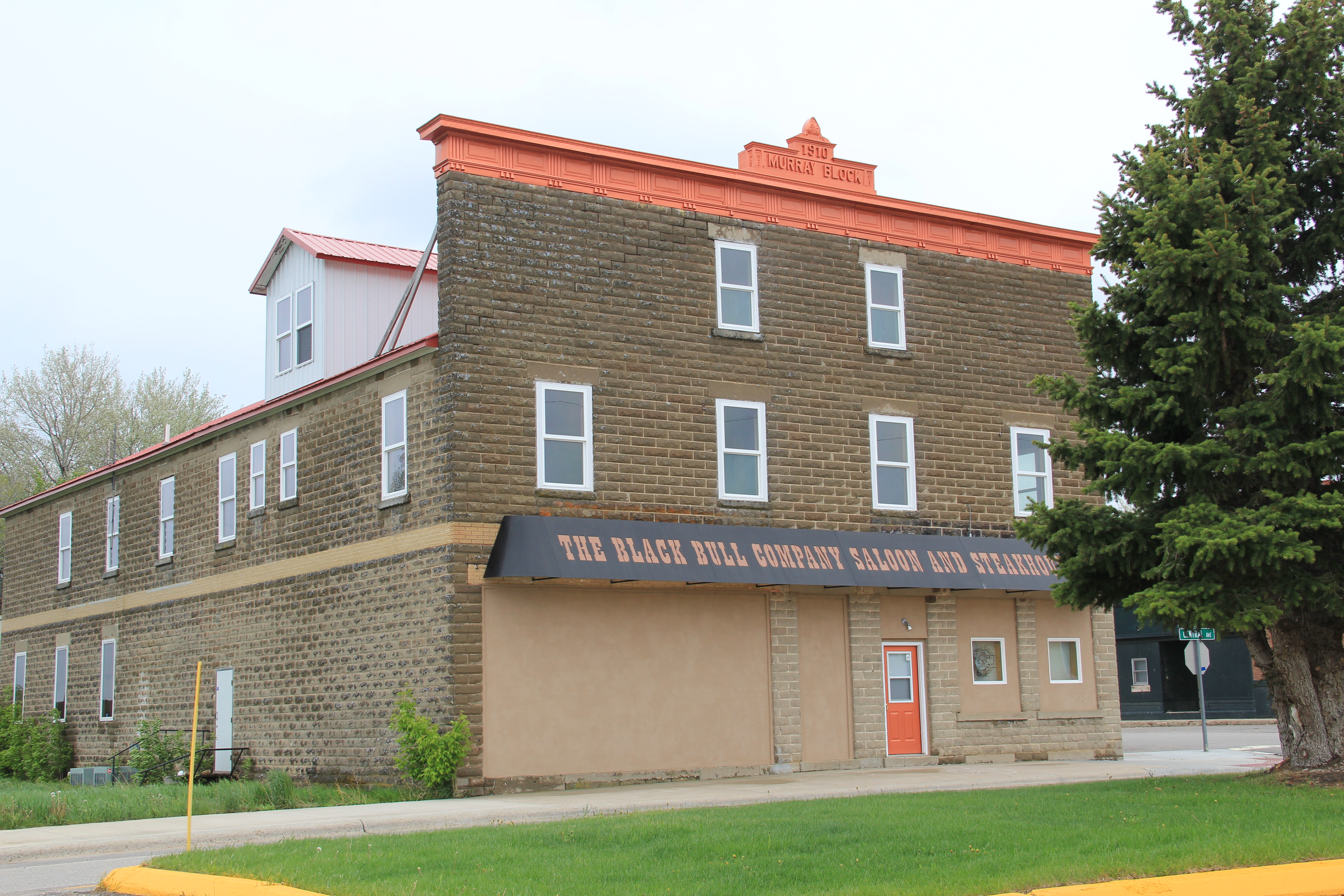
IMG_9795Lodge probably helps to identify some of the builders of Hobson’s historic structures located on the boulevard.  But whoever the builders were, here is a very interesting place

IMG_9802

IMG_9798

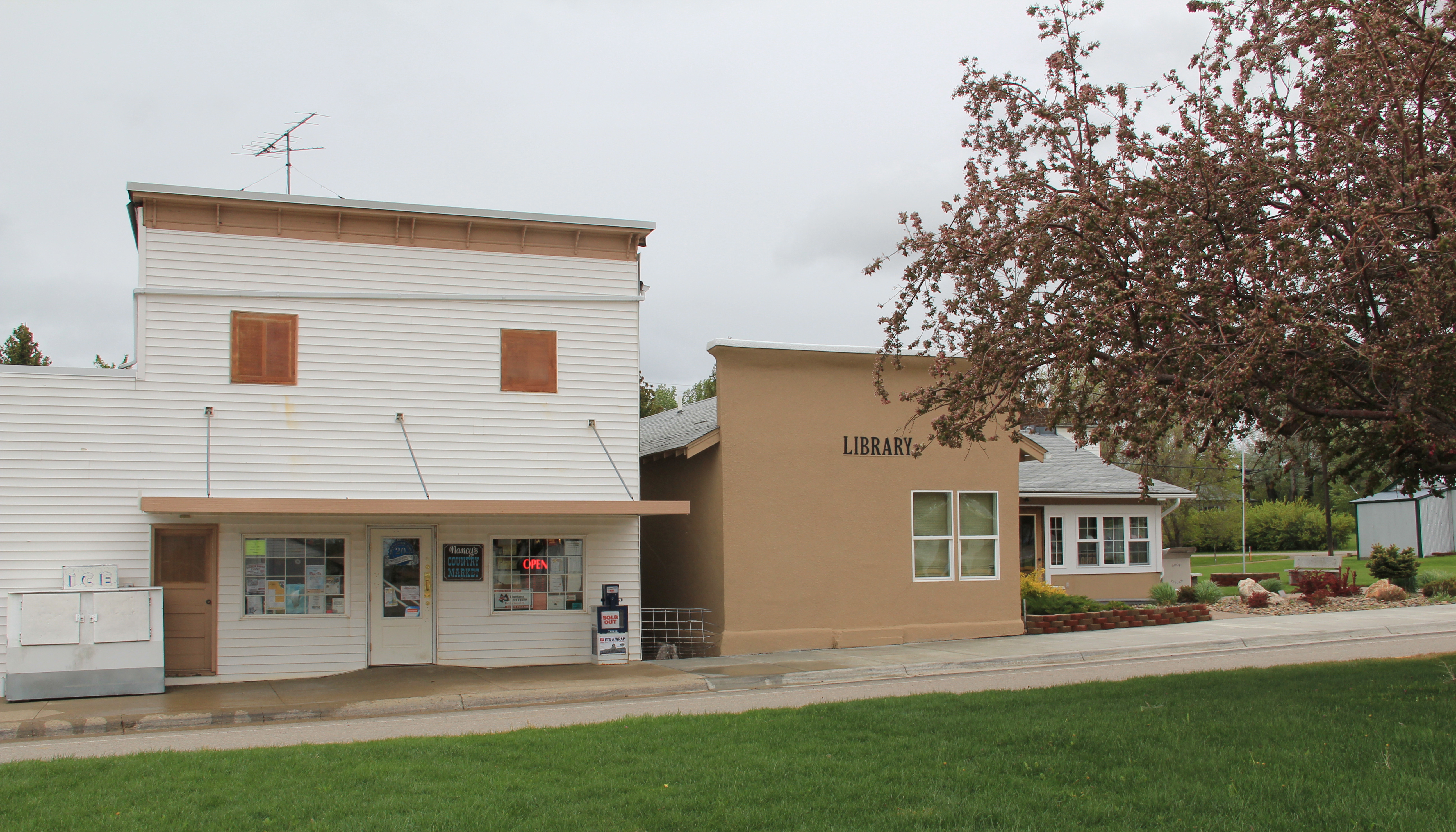
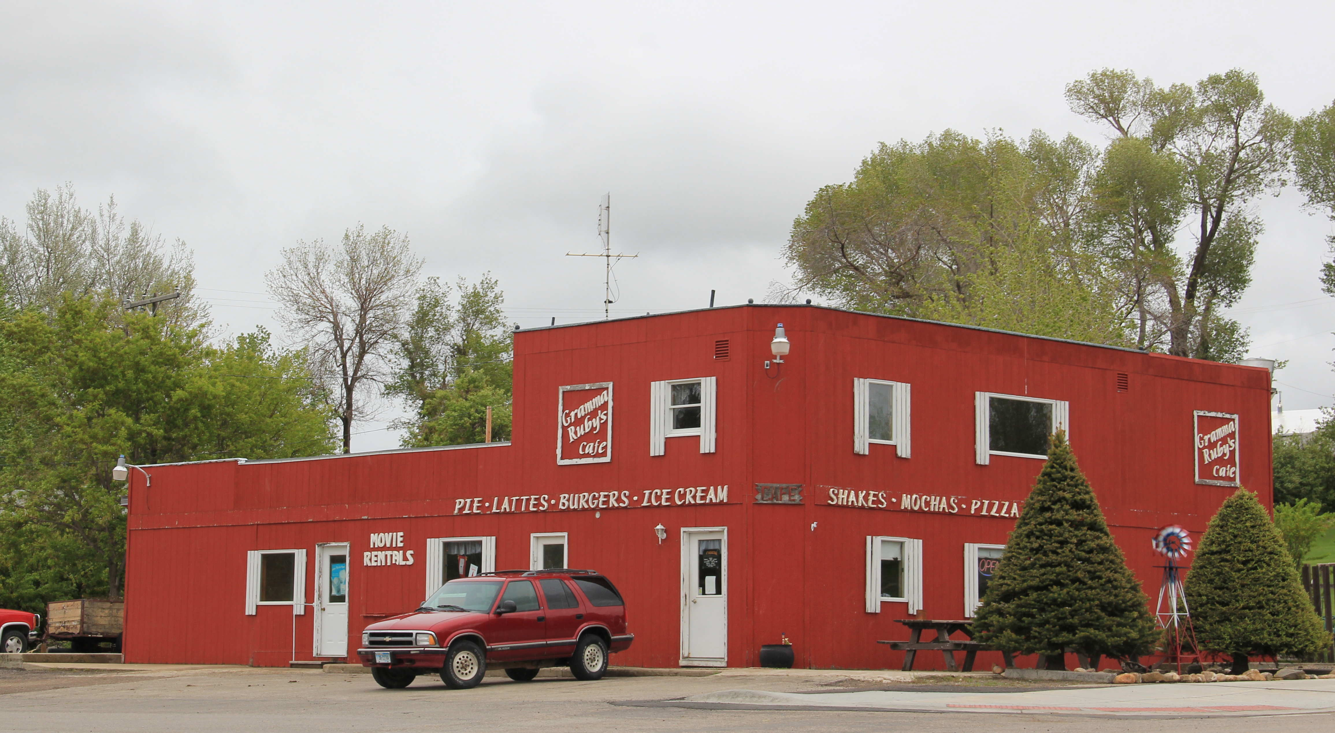
IMG_9799and just as importantly the properties are in use, be they a cafe, a store, or a library. A long two-lane road, Montana 239, stretches east from Hobson along the Judith River and headed into Little Belt Mountains.  The paved road ends at the earlier settlement of the

IMG_9419basin, the cowboy town of Utica, made famous by the paintings and writings of Charles M. Russell, the state’s most famous artist.  Utica has a strong sense of itself, although it is justa tiny place today.  A large part of that sense of the past is maintained and enhanced by the work of the Utica museum, the local historical society, and the town rod and gun club.  Utica has a level of public interpretation that was certainly not in place in 1984 and that today is rarely matched in a small Montana town.

IMG_9425

IMG_9429

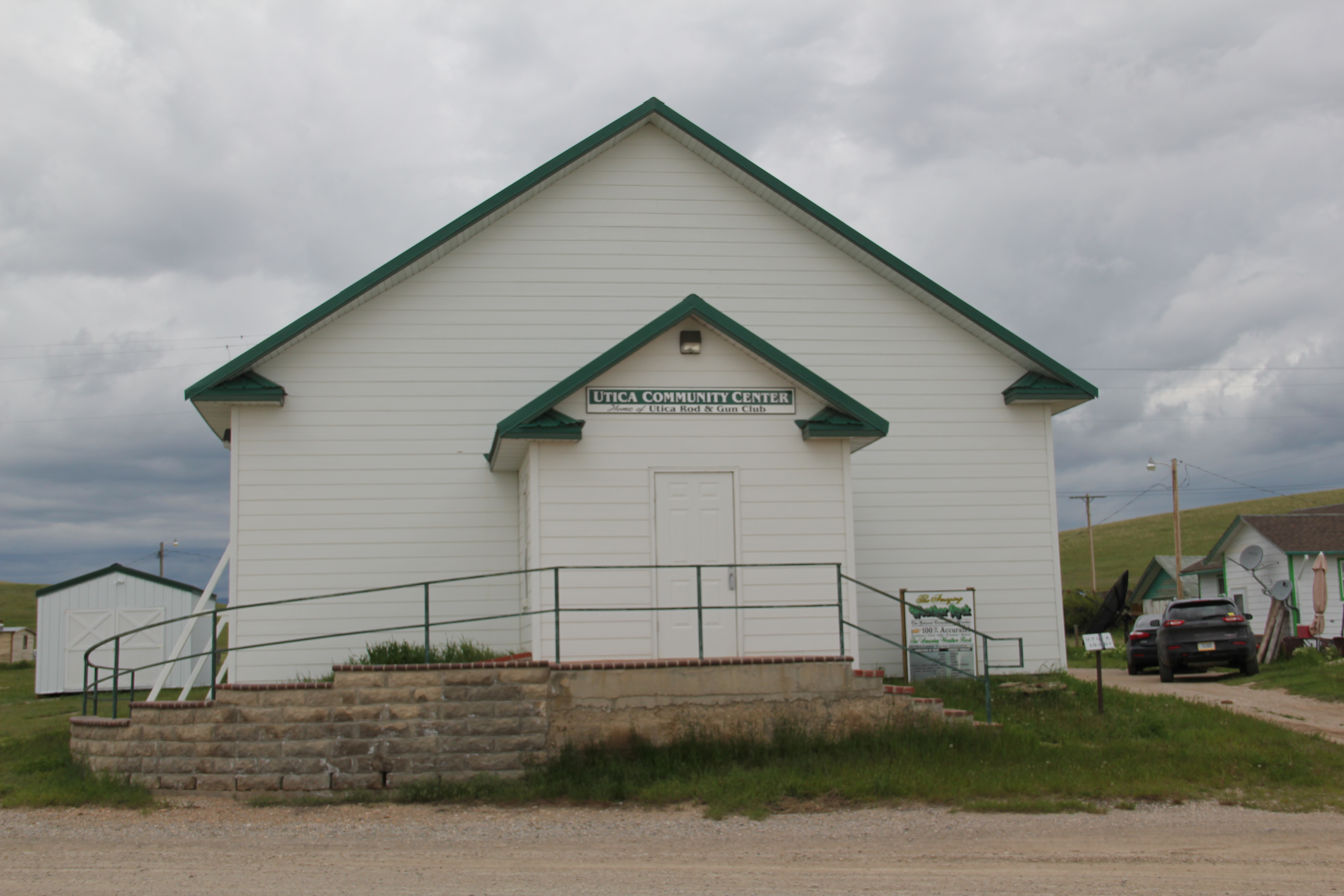
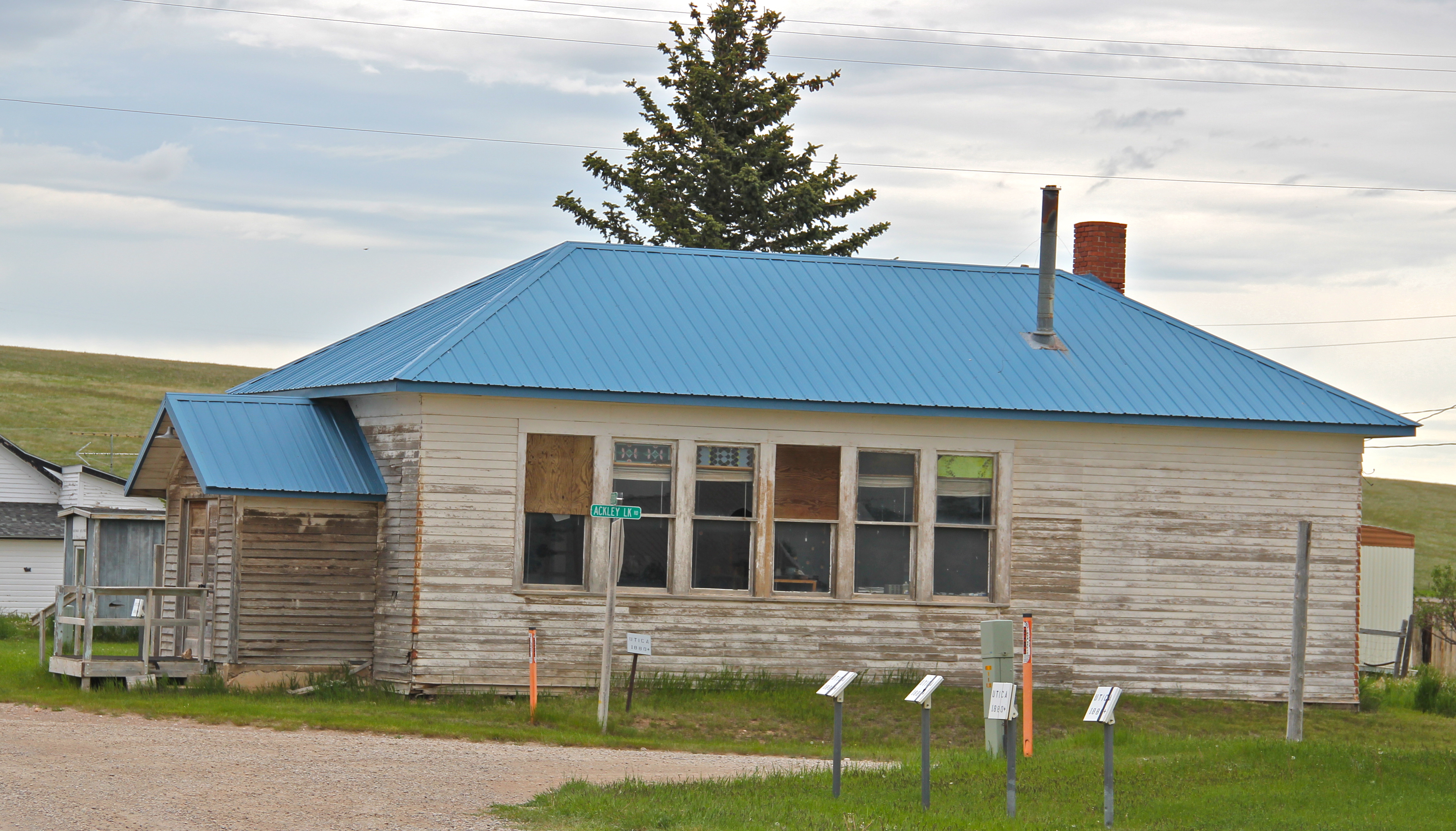
IMG_9422Utica also has done a commendable job of maintaining and preserving key community buildings, such as the early 20th century school and community hall, both properties associated with the homesteading boom of that time.  The town’s historic store is a little
IMG_9426

IMG_9427worse for the wear of 100 years of use, but it is still here, and the stone construction speaks strongly to the vernacular quality of the area’s built environment.

IMG_9428History and preservation are not the only reasons for Utica’s survival.  In true Montana fashion, most people who take the long drive here come for the food, drink, and good

IMG_9430times at the Oxen Yoke Inn–why else would you locate the town’s primary interpretive sign next to the bar’s parking lot.

IMG_9431For most travelers the highway from Hobson at the eastern end of Judith Basin County to Stanford, the county seat, in the center of the county, is just open road.  But between those two towns three Great Northern hamlets still have significant remnants of their past.  Moccasin was such a favorite in 1984 that the resulting book from the survey work,  A Traveler’s Companion to Montana History, had two images from the place–the New Deal school, with its totally out of place but flashy Art Deco design, and the two-story Classical Revival styled bank building. Moccasin MT JB CoMoccasin, Judith Basin Co (p84 85-1)Those landmarks remain in Moccasin, but much worse for the wear.  The school is clearly among those threatened landmarks highlighted by the National Trust for Historic Preservation in 2012.  The bank is hanging on, barely.

IMG_9818

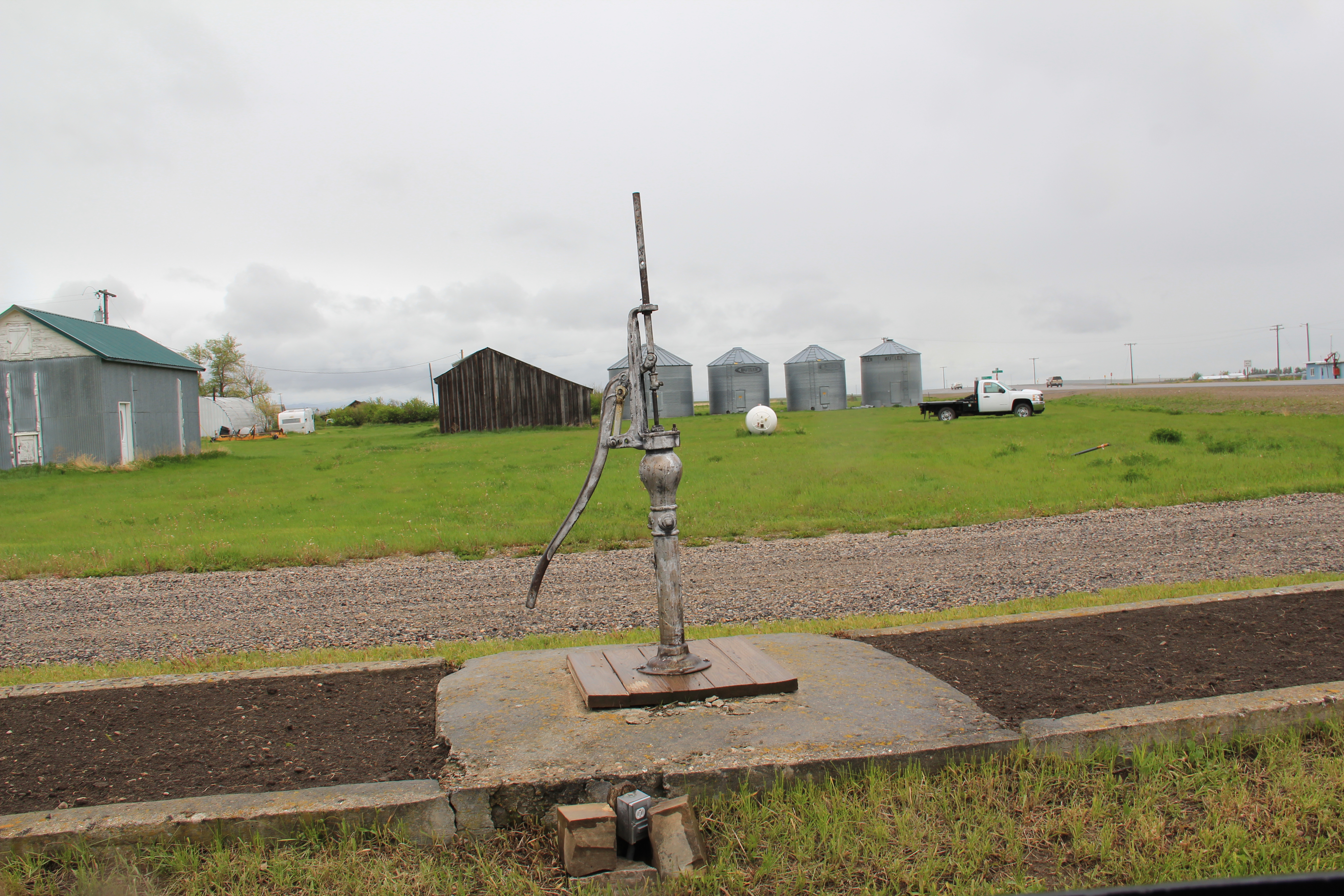
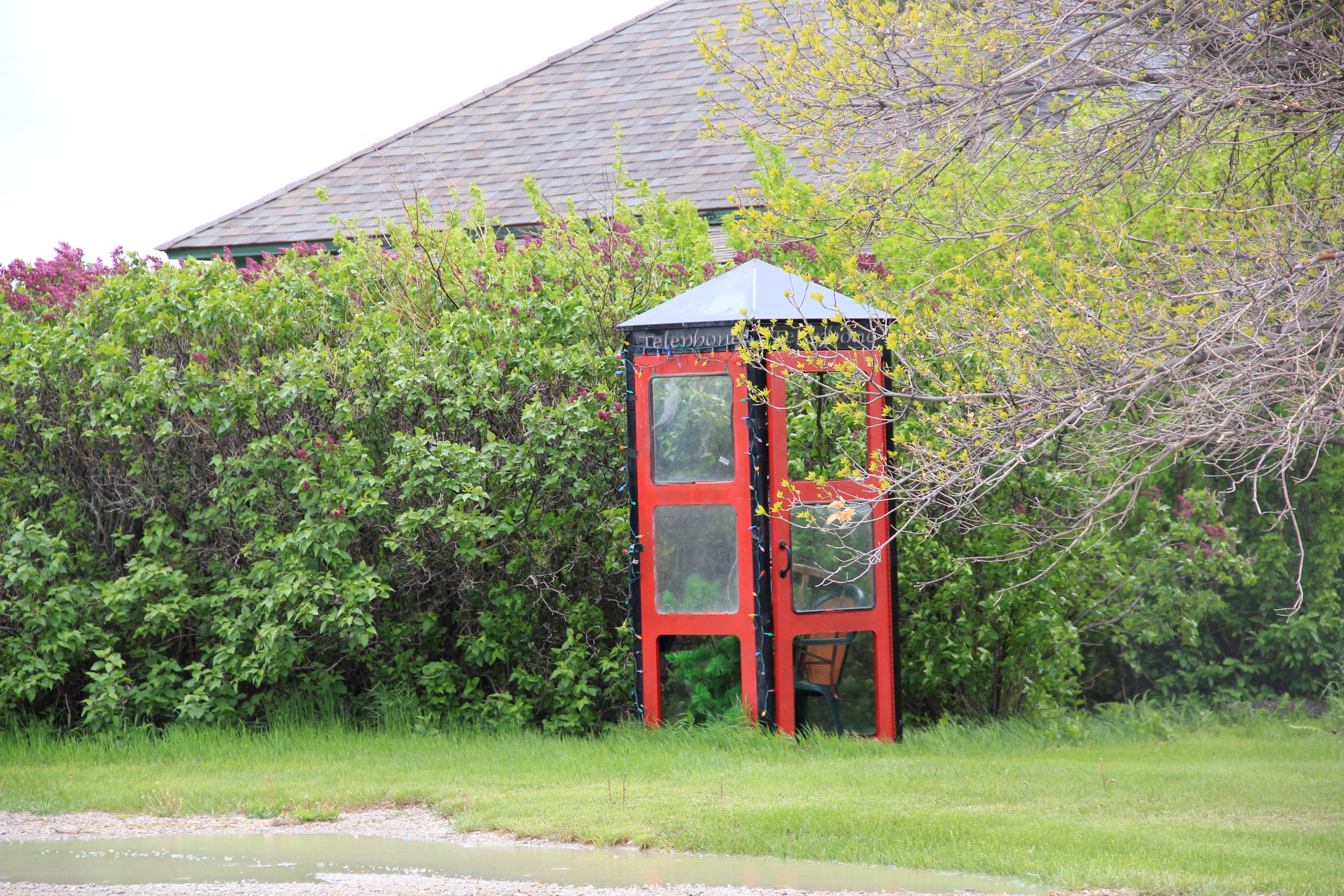
IMG_9821Moccasin still has other historic buildings worthy of note, such as a church, its town pump, even a telephone booth (a real disappearing part of the landscape from 1984 to 2014).

IMG_9812

IMG_9810

IMG_9822More importantly, its historic Great Northern combination depot, although battered, still is along the tracks nearby the elevators, reminding anyone looking closely enough of the railroad roots of the place.
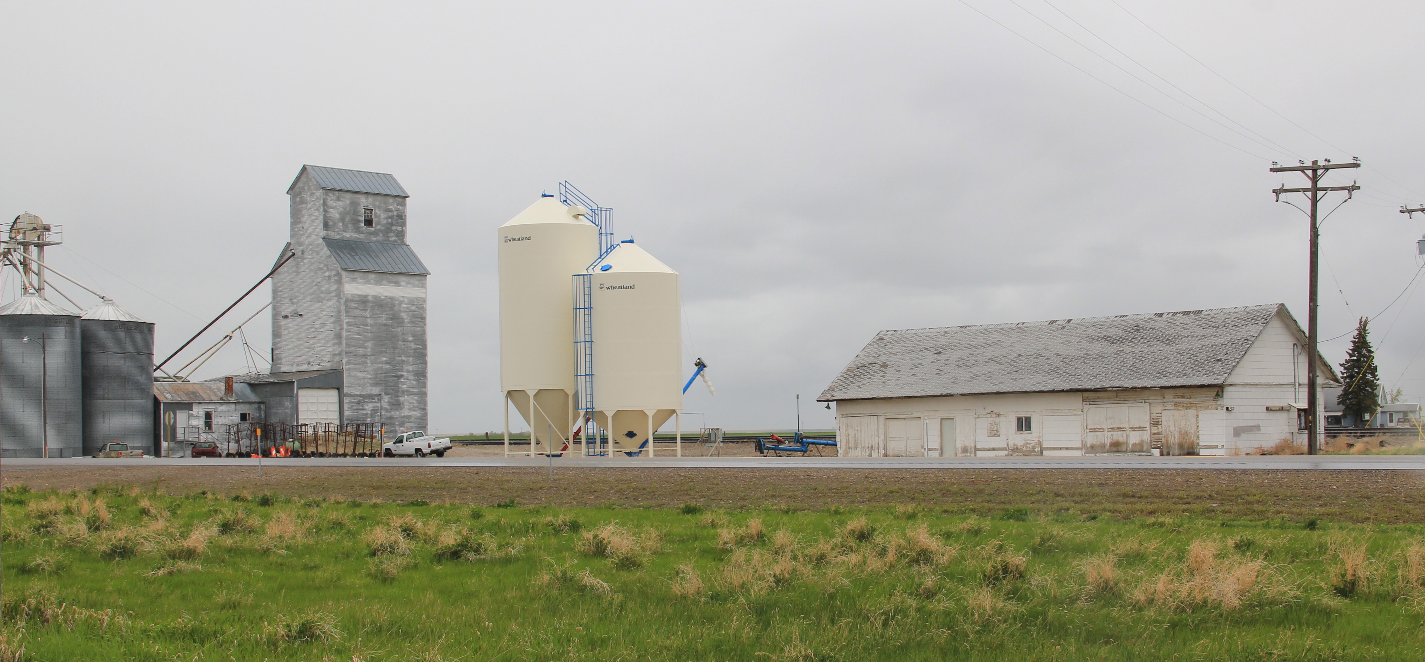
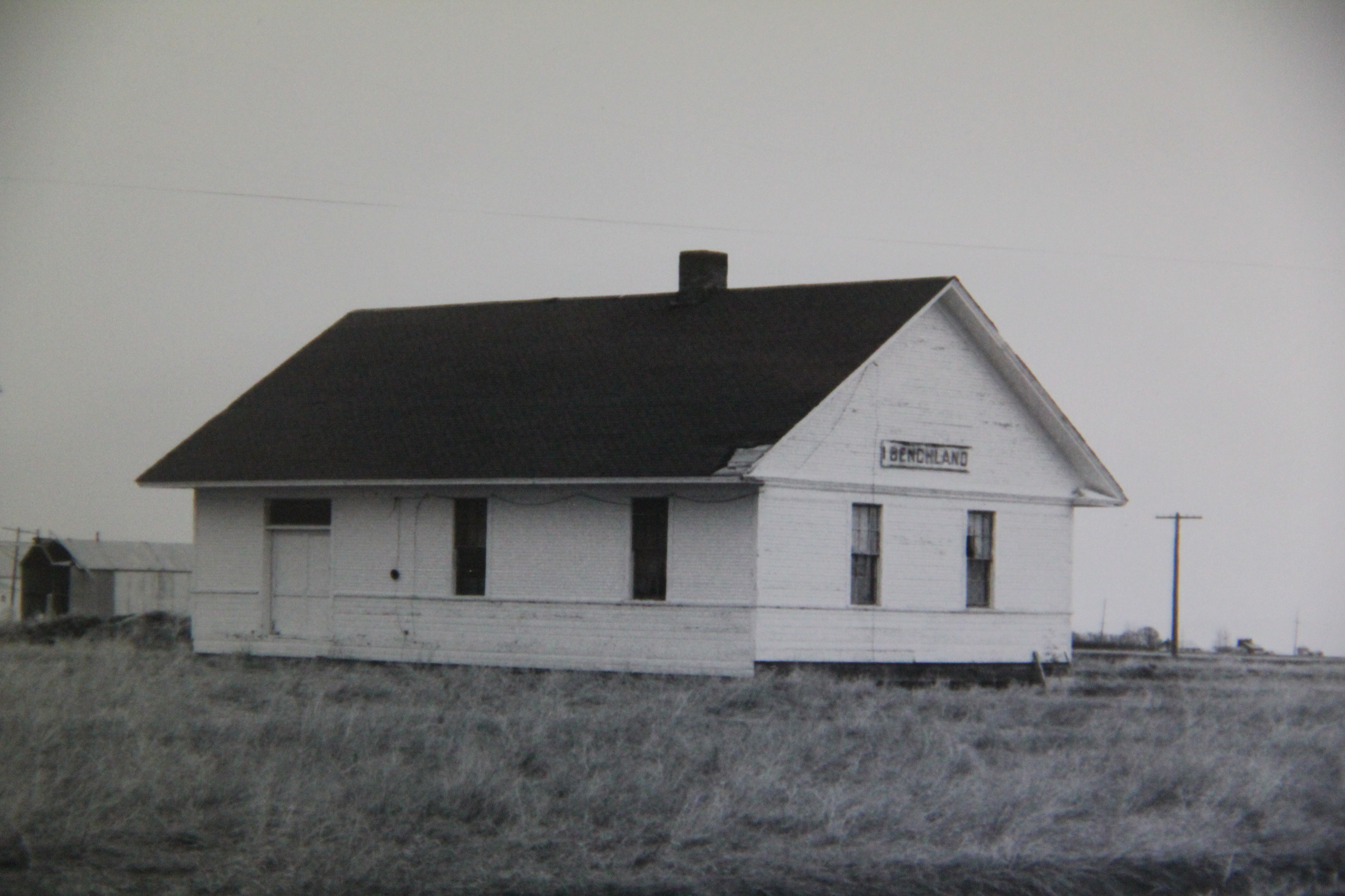
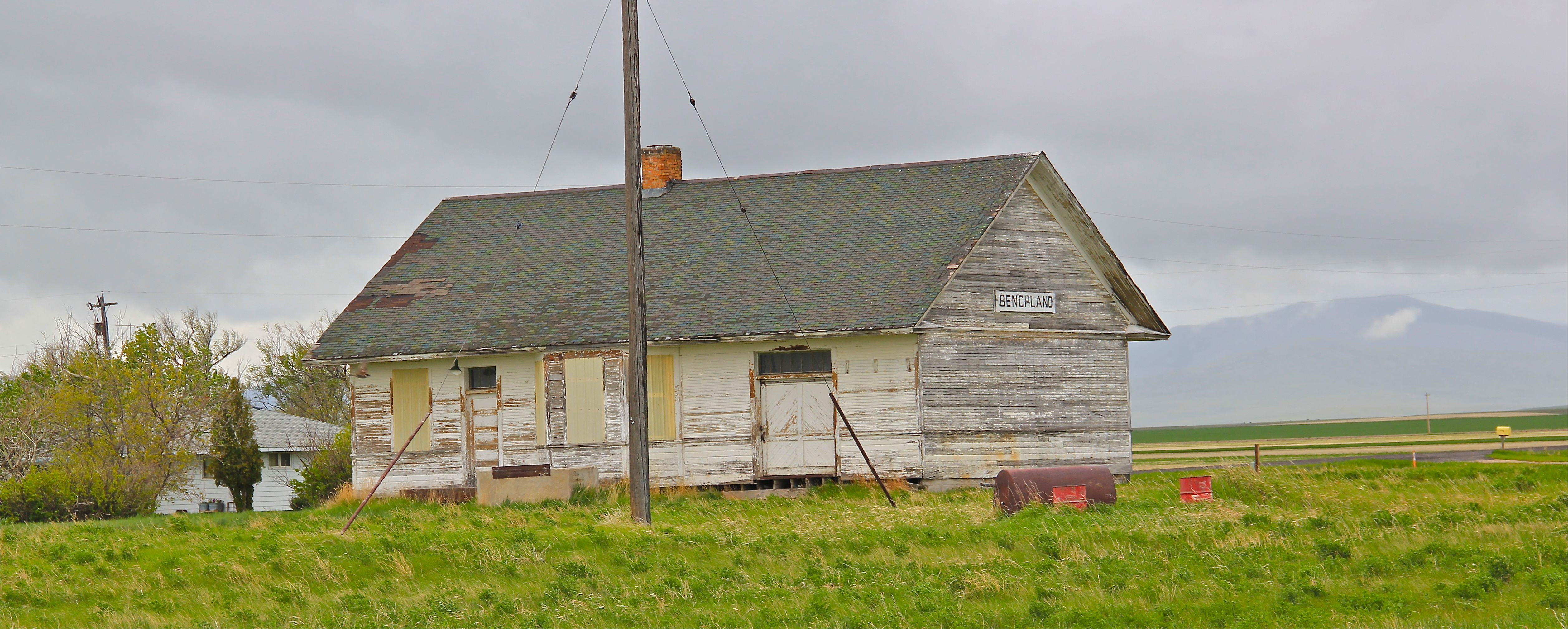
IMG_9809The next two towns of Benchland and Windham also retain their historic depots.  The Benchland station has deteriorated in the last generation as documented in a comparison of a 1984 image with one from 2014.
IMG_4054

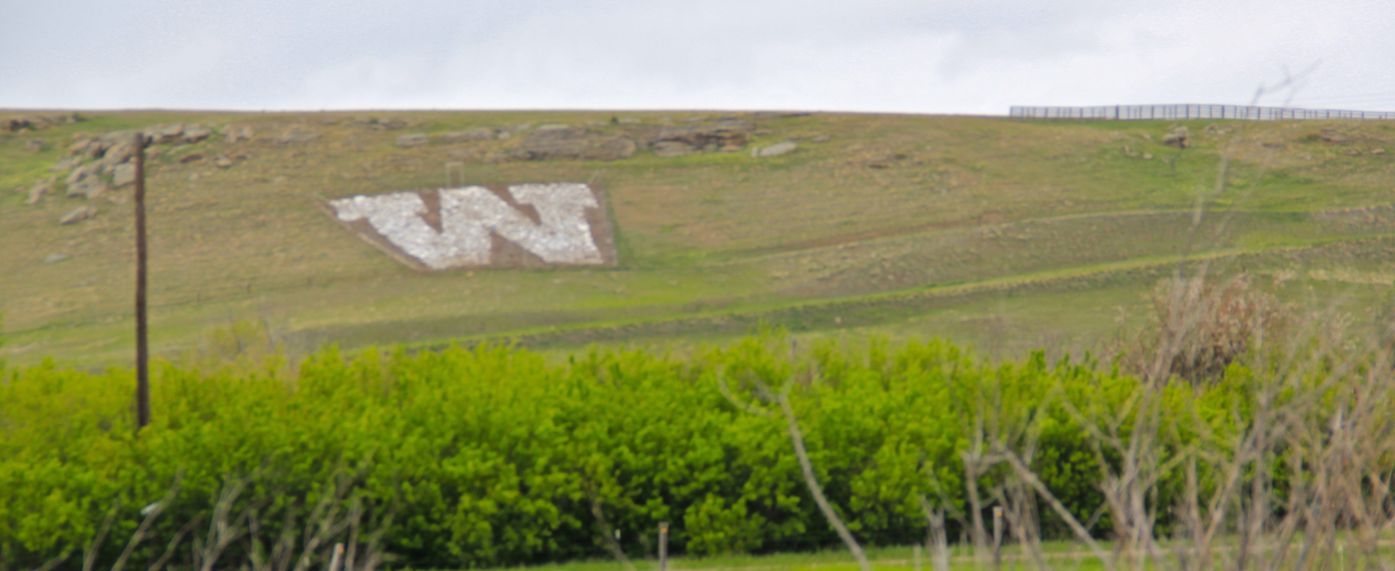
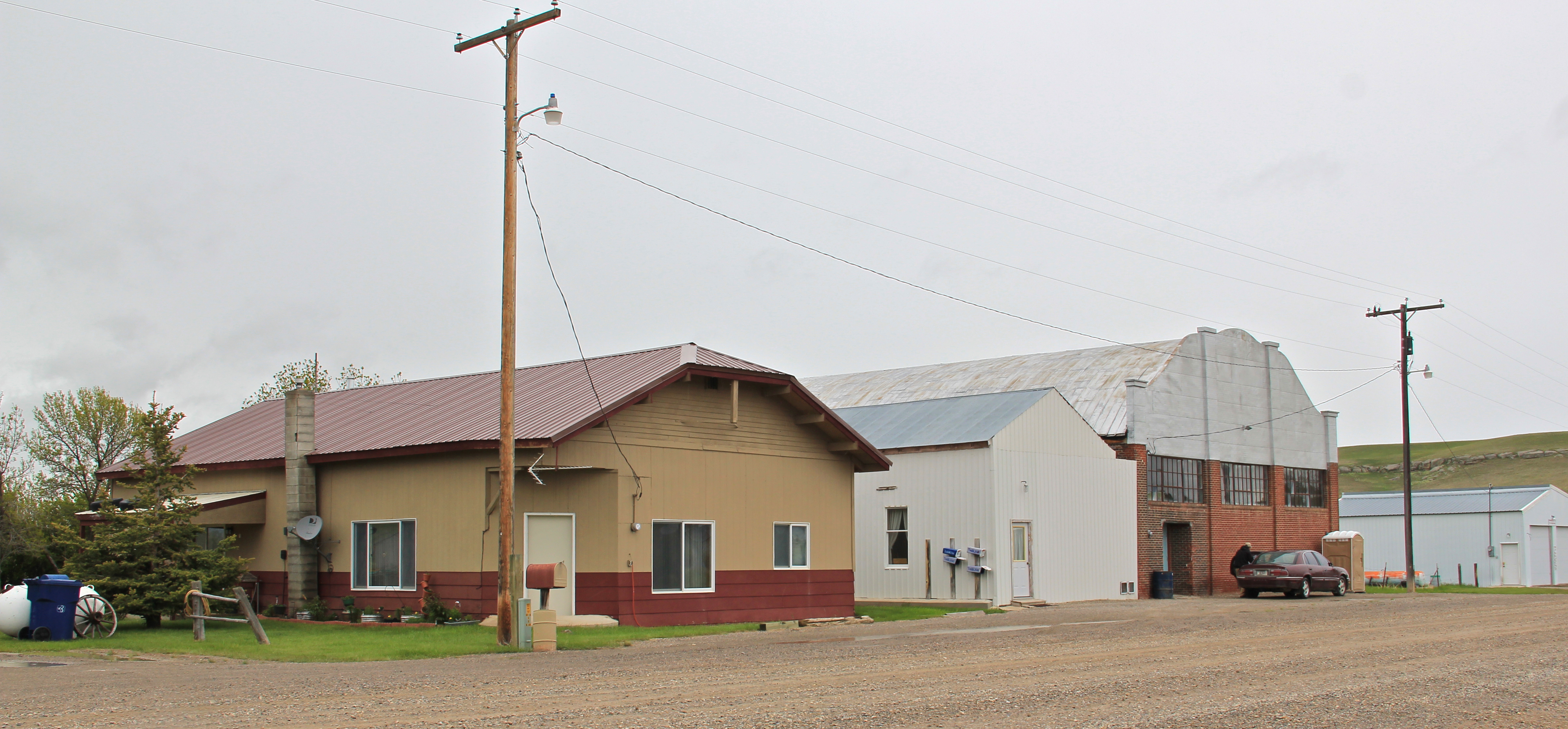
IMG_9834The Windham depot has been moved slightly off the tracks–but still within a stone’s throw of the rails.  The station, along with the historic commercial strip of the T-town plan, and historic elevators, still give meaning to the “W” of the town sign.

IMG_9840

IMG_9838

IMG_9841

IMG_9839The curve of the tracks headed to Stanford is a good place to rest with this post–more on the plains country towns of the Judith Basin in the next post.

Essex Under Fire

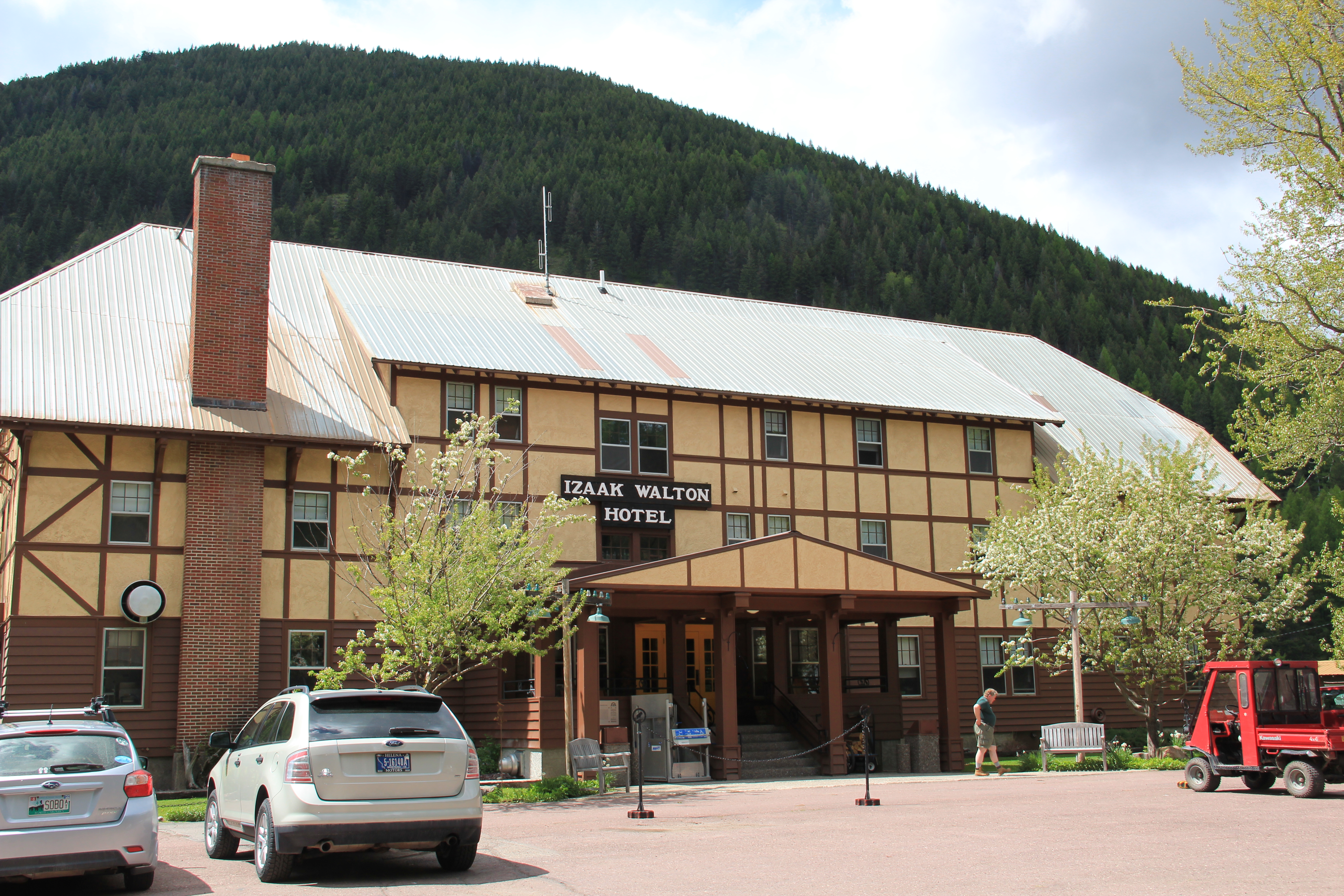
For more than a week many have been anxiously following one of the 2015 wildfires along U.S. Highway 2 that threatens the town of Essex adjacent to Glacier National Park.  I must admit a very personal concern because 30 years ago there was not much to Essex, except for its historic Great Northern Railway dormitory and the switching yards, where the railroad could add engines to help trains cross the Logan Pass.  At the state historic preservation office in Helena, I had just worked with Pat Bick and Marcella Sherfy on an exceptional significance statement to place the dormitory, which was not quite 50 years old then but certainly the town would have existed without the presence of the dormitory, in the National Register of Historic Places.

Izaak Walton Inn c. 1985

Izaak Walton Inn c. 1985

Back then travelers wishing to stop there just crossed the tracks, as generations of railroad workers had done, and came into the dormitory, which actually was little changed except the lobby had a desk to greet visitors, and the basement floor became a very nifty bar.

2011 MT Glacier Park and communities 150

2011 MT Glacier Park and communities 152Since the mid-1980s, Essex grew as a place as the Izaak Walton Inn grew as a business.  Additional buildings were added to the north side of the tracks, even an old school building was repurposed into a mini-meeting lodge.

2011 MT Glacier Park and communities 137At some point in the 1990s or early 2000s (I didn’t get to Essex between 1995 and 2005) a  pedestrian bridge was installed over the tracks, which suddenly gave you a different perspective on the old dormitory and the railroad tracks that it had served.

2011 MT Glacier Park and communities 133This view of the historic Great Northern main line, looking east toward Logan Pass, became one of my favorite spots in the state.  Here you still had the look and feel of the early 20th century when the railroad created a new engineered landscape through the mountains, and also had modern marketing had taken hold of the railroad’s image, as the vaguely Swiss Chalet look of the dormitory fit well into the entire design aesthetic that the railroad pursued in its Glacier National Park operations.

IMG_9210The Inn now has a busy winter season as skiers come here for lodging, often traveling by Amtrak train.  The business has expanded in many different ways, with even old Great Northern engines being repurposed into overnight lodging.

2011 MT Glacier Park and communities 149 spent a night at the Izaak Walton in May 2015, and now with the serious threat of fire to the entire town I am glad I did.  Thirty years ago, I enjoyed the isolated feel of the place and watching the passing of the occasional train through the night.  In May the train traffic was much heavier–thanks to the region’s overall growth but also the impact of the shale oil

IMG_8968explosion in North Dakota–and the place was not so isolated.  Essex had significantly grown in size.  That’s why the news of the past few days is so distressing.  Not only could the fires take an important Montana landmark, they could also destroy a town that has grown so much in the last 30 years.  Today comes news that the fires had so concerned

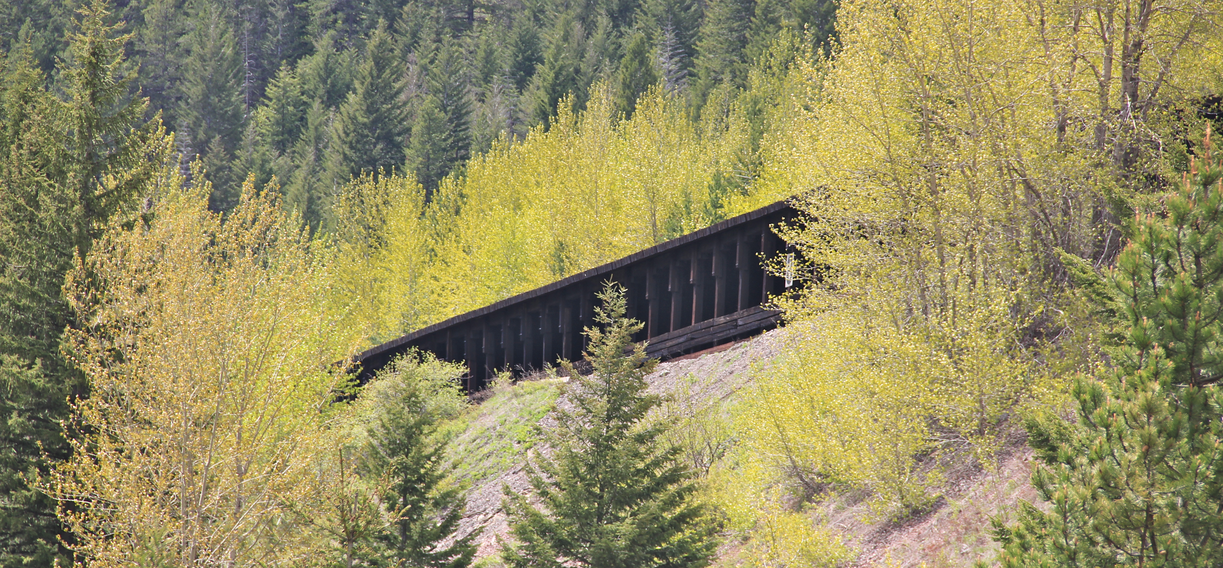
2011 MT Glacier Park and communities 131officials of the BNSF Railroad that the company is wetting down its historic avalanche sheds not far from Essex and visible from U.S. Highway 2 at several places.  If luck doesn’t come, a distinctive historic landscape could disappear.

IMG_9207

Chouteau County’s Plains Country Towns

IMG_9327

Thirty years ago geographer John Hudson wrote a series of articles and a book on the topic of “plains country towns,” addressing the landscape patterns he found among the railroad-established towns of the northern plains.  Ever since Hudson’s concept of plains country towns has influenced how I look at the Montana’s small towns.  Even in such river counties as Chouteau County where the Missouri River trade base of Fort Benton has dominated the county’s economy and population since the mid-19th century, you can still find the unmistakeable imprint of the railroad and the grain elevators that mark the presence of a town.

IMG_8832

Earlier in this blog I have discussed Square Butte (above) and Geraldine.  Today I want to review two other small towns, Highwood and Carter.  Highwood is the largest, counting

IMG_8873

just about 175 people in the last census.  Like most plains country towns, it has steadily lost population in the last 50 years.  In fact this weekend’s Great Falls Tribune discussed how the Highwood High School was going to forge a co-op for sports with Geraldine so both schools could continue to have basketball, volley ball and 7-man football, played at this tiny field in Highwood.

IMG_8875

IMG_8877

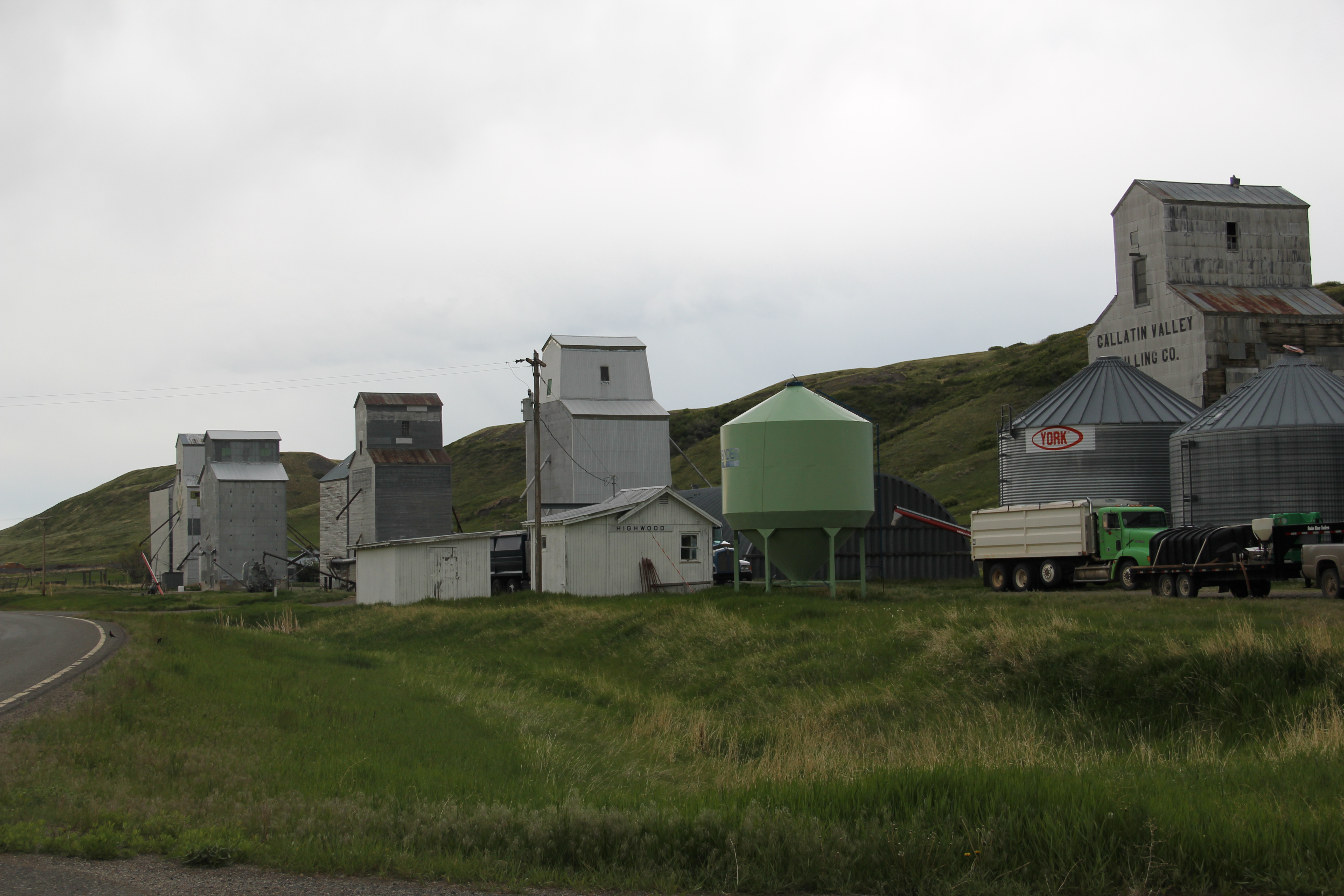
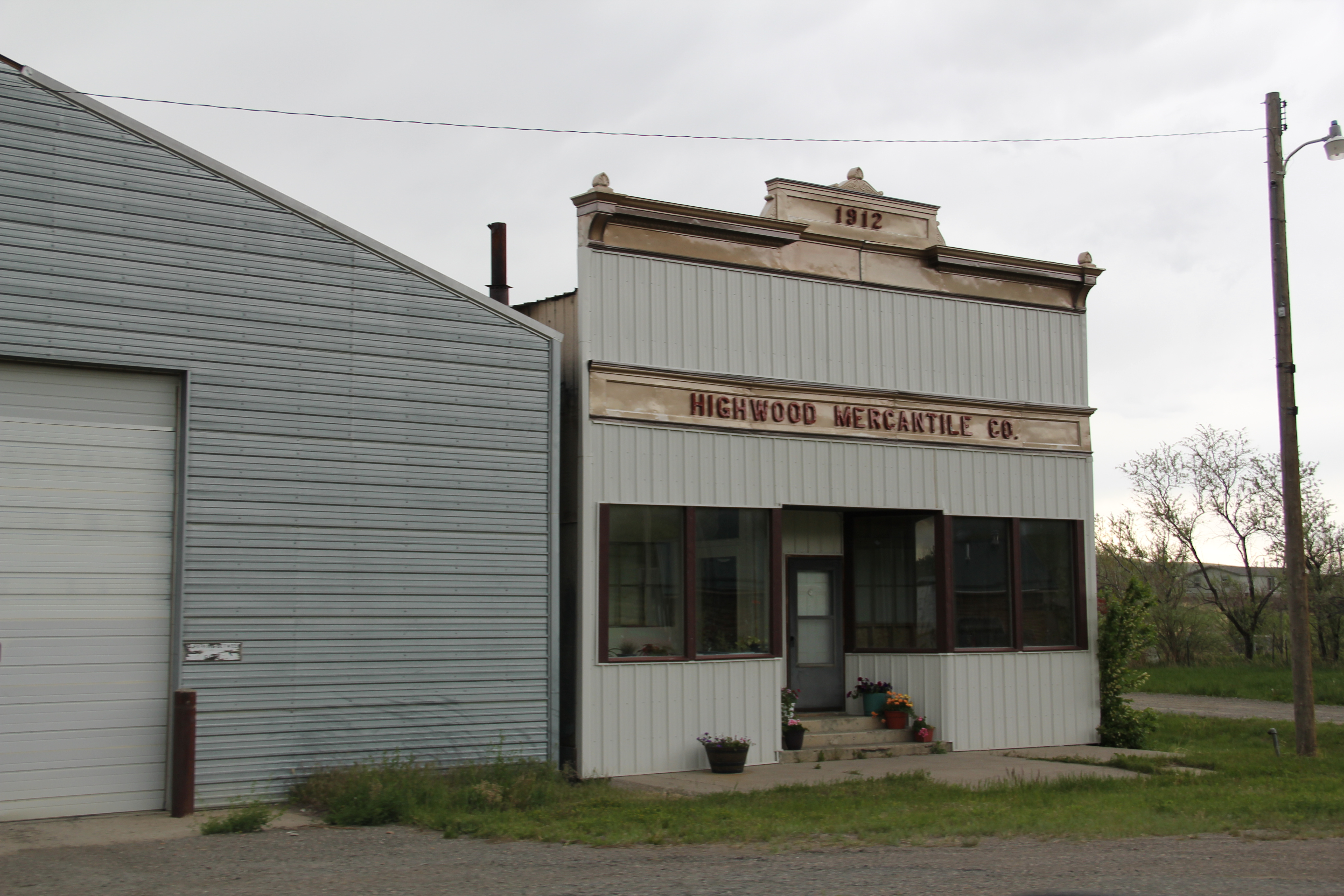
The Highwood School is no doubt the pride and center of this community, a place not often found by travelers nestled as it is in a gulch formed by Highwood Creek along Montana Highway 228.  It began in the 1880s as cattle country but with the coming of the railroad in the 1910s t became an outlet for grains, as its set of tall elevators makes apparent.  A small one-story false front building for the 1912 Highwood Mercantile Company also remains to mark the town’s railroad years.

IMG_8881

IMG_8880

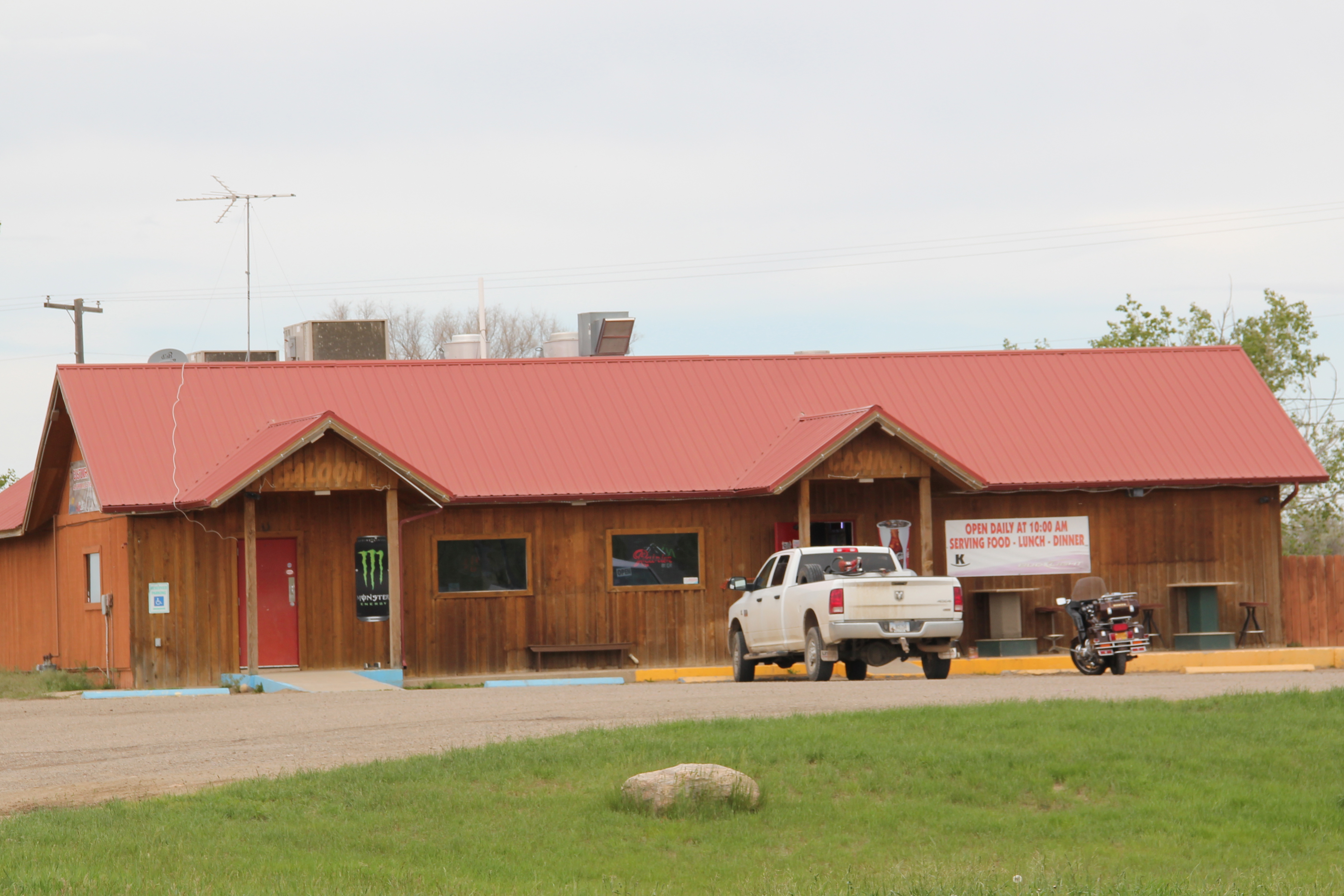
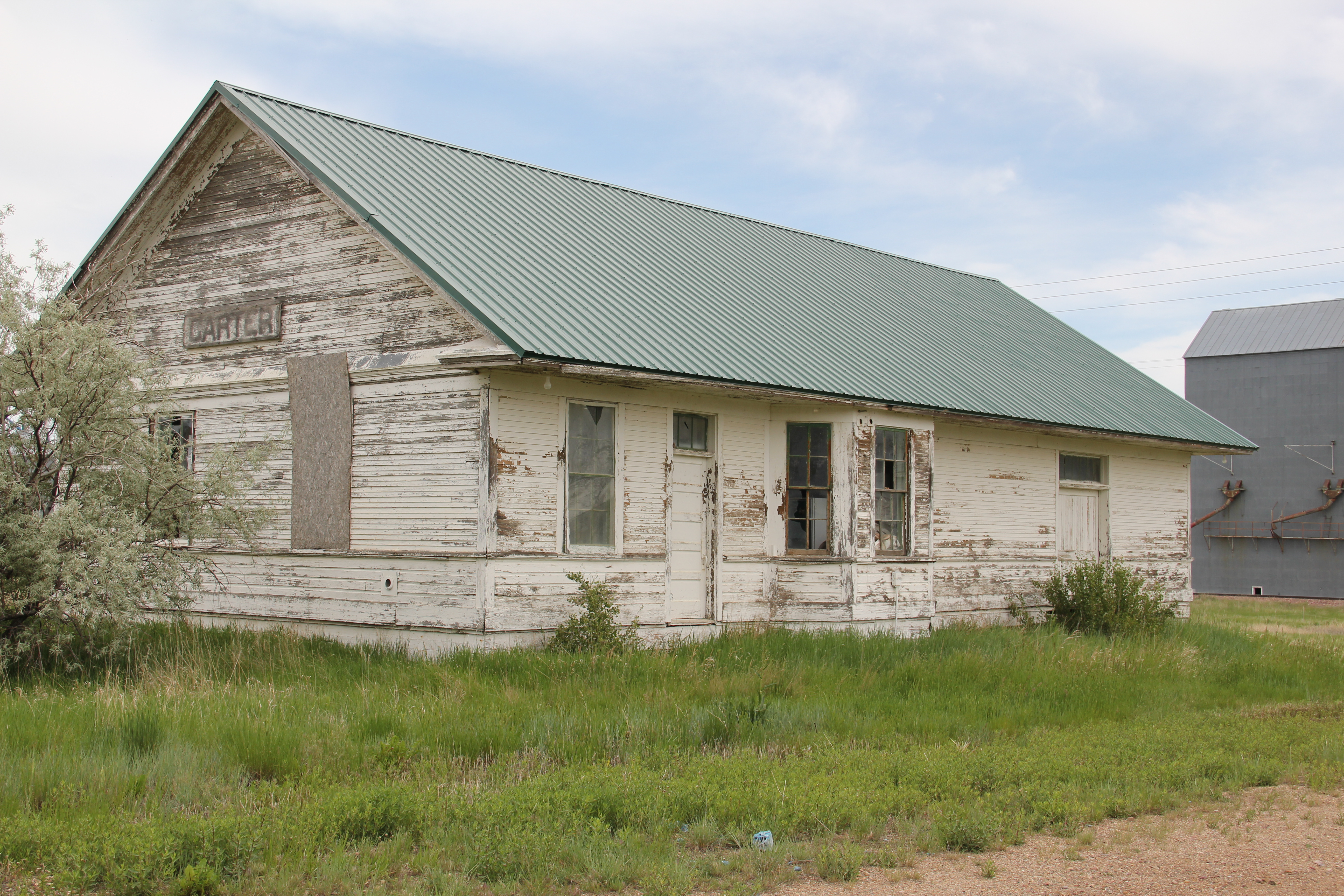
Carter has one-third the population of Highwood–only about 50 people in the 2010 census–but is better known to travelers due to its location along U.S. Highway 87 between Great Falls and Fort Benton.  The Rocking K Bar is the roadside landmark but travelers

IMG_9334should turn south and drive down into Carter proper since the town, despite its tiny number of residents, still has many of the community institutions that defined a proper plains country town of 100 years ago.

IMG_9318

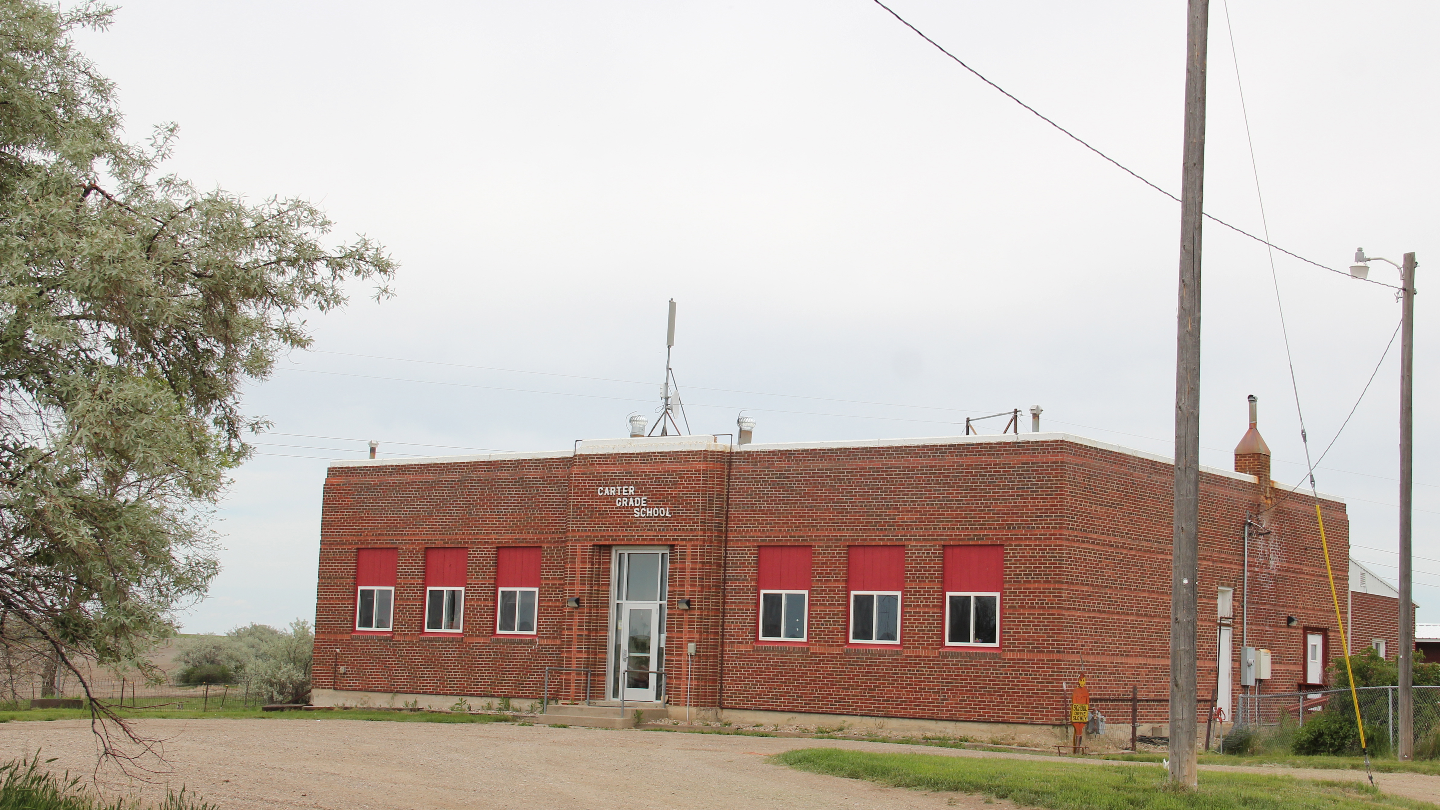
First, there is the still operating Carter Elementary School, probably the one institution that keeps the town alive–when country towns lose their school soon everything else goes too.

IMG_9319

Next comes the tracks, railroad depot, and the grain elevators–while not public institutions they do give the community commercial lifeblood, and as long as the trains roll by there remains an economic reason for Carter to exist.

IMG_9326

The depot has been moved from its original location paralleling the tracks, but this early 20th century standardized designed combination depot for the Great Northern Railway still stands–there were hundreds across the state in my survey of 1984-1985 and one of the more disturbing trends of the new survey of 2013-2015 is how many Great Northern depots are gone, eliminating from the landscape they once dominated.

IMG_9325

Faith too has remained in Carter, with the persistence of the town’s small vernacular styled gable-front little white Methodist church, although in its first generation several congregations had been established here.

IMG_9329

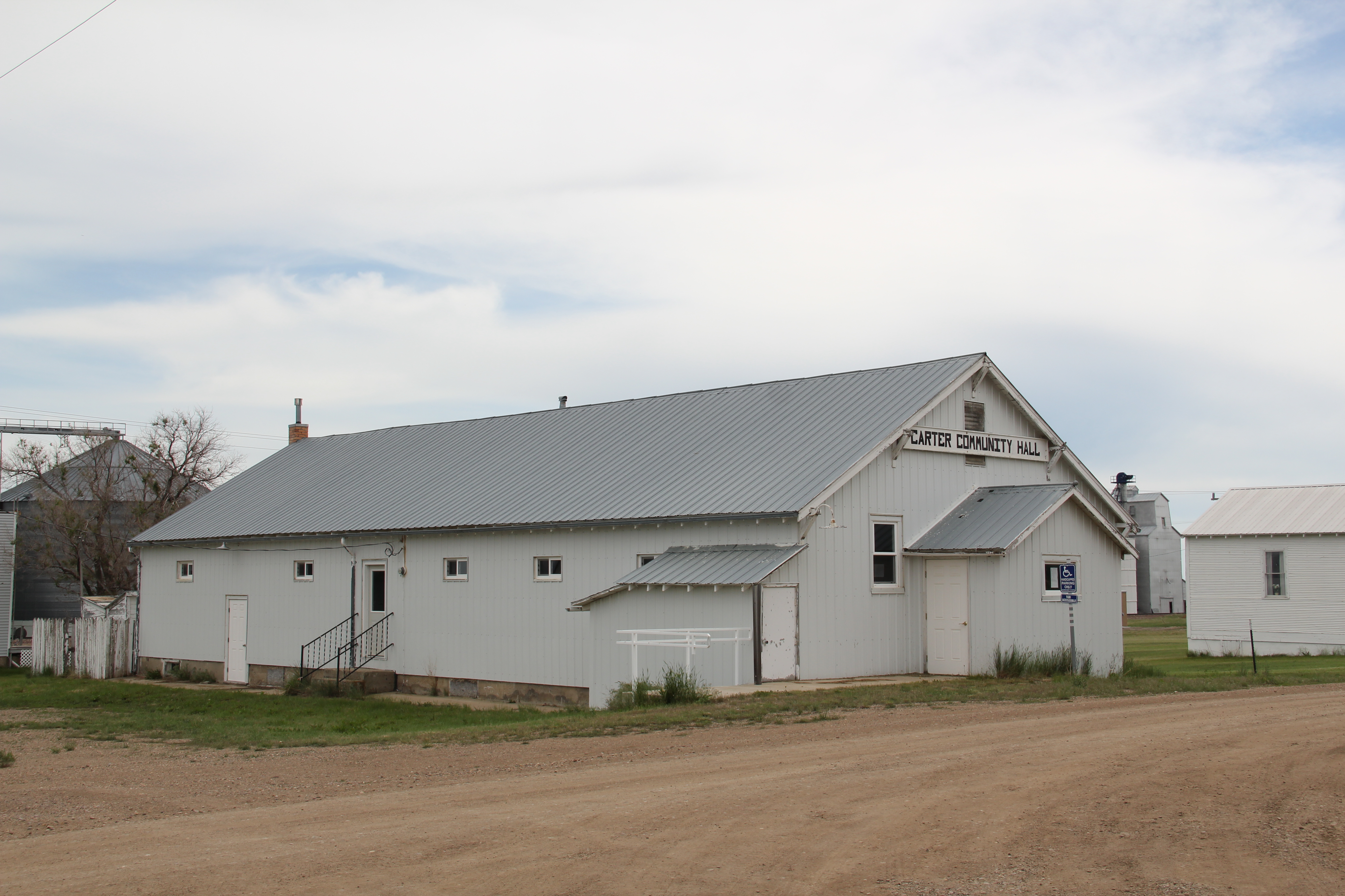
Carter also still has its Community Hall–an institution across the northern plains that defined hope and persistence in the years following the homesteading bust of the 1920s.
IMG_9331
Community halls too were more numerous in 1984-1985 than today–the building in Carter is a significant community link between past and present.

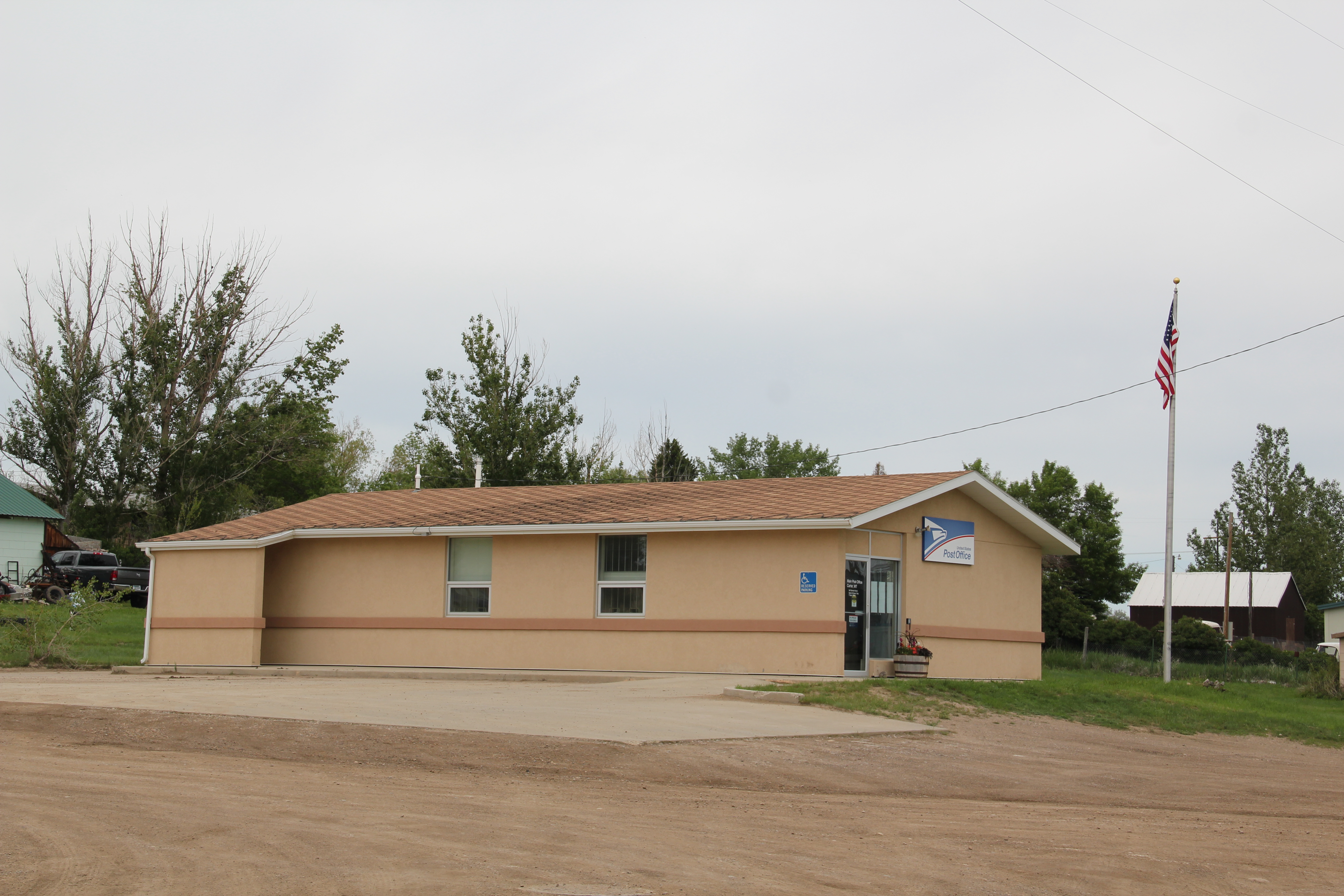
IMG_9330Finally there is the federal presence–marked by a concrete block post office from the last decades of the 20th century.  The threat a few years ago to close hundreds of rural post offices across the region brought new, and necessary, addition to role of post offices as modern community landmarks for plains country towns.

Admittedly, Carter is a place that hundreds roar pass daily as they drive U.S. Highway 87. But with its extant school, depot, brace of elevators, church, community hall, and post office, Carter is a valuable physical document of the plains country towns that once populated eastern Montana, serving as important way stations along the metropolitan corridors of rails and sidings that crisscrossed the west.

A turn into the Yellowstone Valley

Note: sorry about the delayed posts–real life, and work, interfered in October.

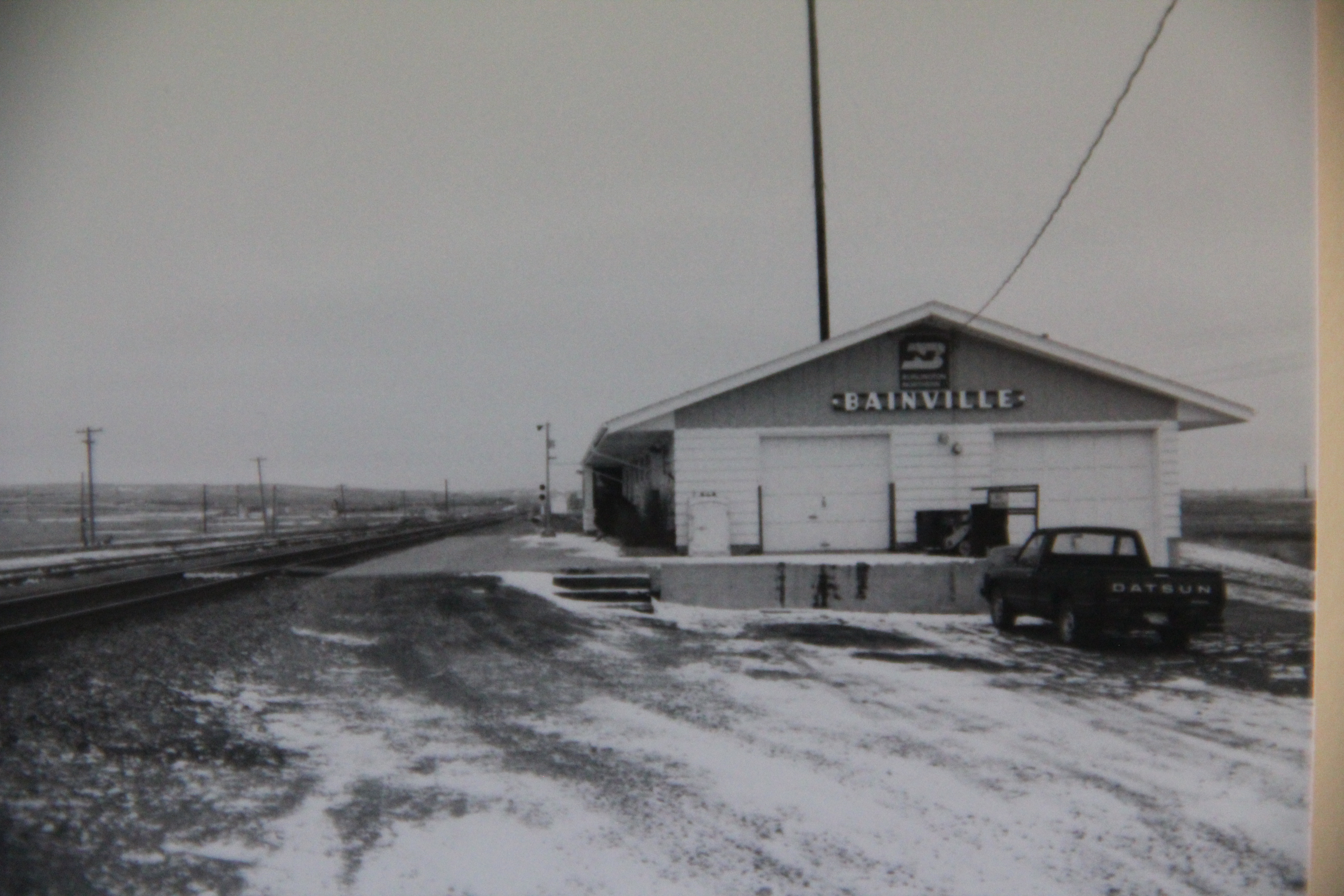
In the 1984 survey of Montana’s landscapes for the state historic preservation office, when I turned southward at the Bainville depot, a Great Northern Railway landmark now sadly missing from the landscape, I understood that a new phase of the project, and of the state, was opening up before my eyes as a cold February turned into March.
IMG_4077
I first encountered Fairview, at the tip of the Lower Yellowstone Valley and a product too of the Lower Yellowstone Irrigation Project, which I addressed in earlier posts this fall.

Historic Hotel Albert, a 3-story brick relic of the homesteading boom

Historic Hotel Albert, a 3-story brick relic of the homesteading boom


Fairview then and even more so now was a place of transition between the agriculture made possible through the engineering marvel of the federal irrigation project and the slowly creeping westward push of the oil boom associated with North Dakota’s Williston Basin.
Ft. Gilbert highway marker, north of Fairview: note oil well to the right

Ft. Gilbert highway marker, north of Fairview: note oil well to the right


As I drove south along MT Highway 16, I passed through the Lower Yellowstone Project towns of Crane, Savage, Sidney, and Intake–discussed in earlier posts–and then hit Interstate I-94: the first interstate I had seen in weeks. But instead of turning into Glendive, the major town in the region, I veered to the east to explore Wibaux County.
IMG_1683
I knew a bit about Wibaux through the standard narratives of Montana history because here stood the ranch house of Pierre Wibaux, one of the most famous early cattlemen in Montana. The house had long served as a heritage tourism stop, even as a state welcome center since Wibaux is positioned a few miles west of the Montana-North Dakota border on I-94. In 1984 I knew that I wanted to visit the ranch house, and see the monument erected to Wibaux to commemorate his life and achievements.
IMG_0494
I also found, however, the heavy imprint left in the wake of the Northern Pacific Railroad as it headed into Montana and aimed for the Yellowstone Valley. For the next several weeks I explored this connection between rail and river that so defines the valley still today.
Underpass separating MT 16 from the Northern Pacific mainline at Wibaux

Underpass separating MT 16 from the Northern Pacific mainline at Wibaux


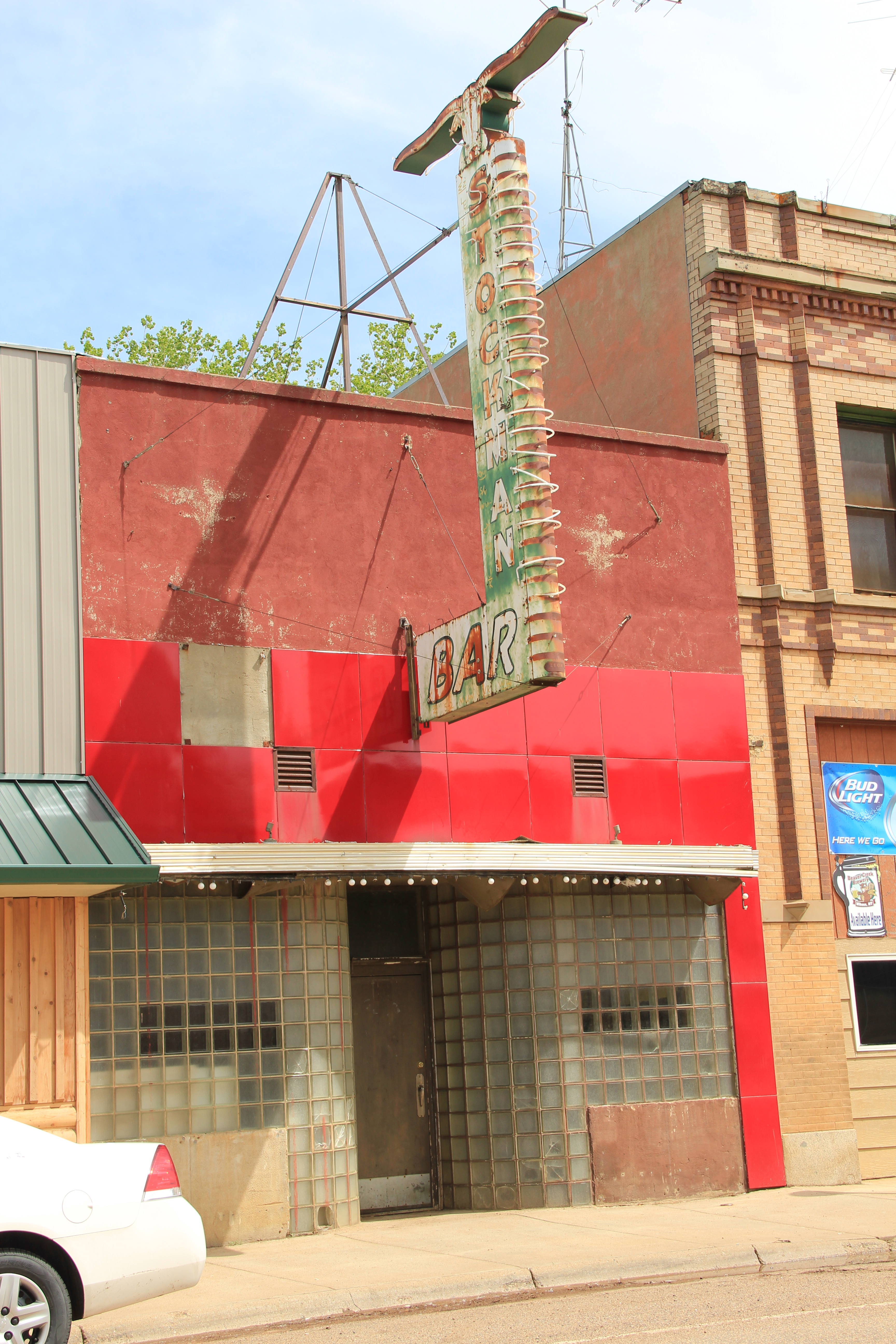
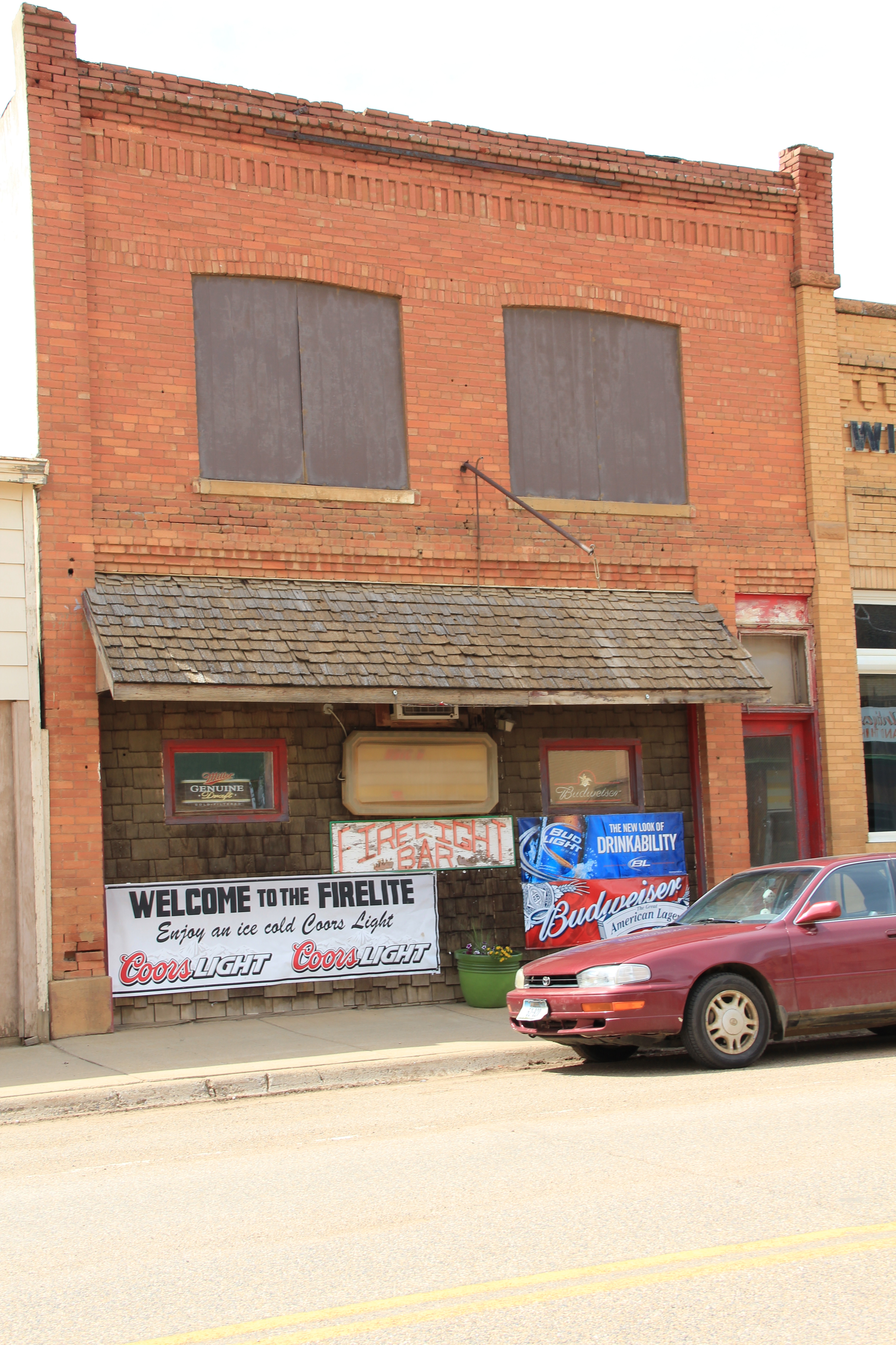
Wibaux is a town of bars–the Shamrock became my favorite in 1984, but the Rainbow Bar, housed in a building with more than a nod to Northern Pacific iconography, and the Stockman Bar were always worth a stop. Among newcomers in 2013, the Firelite was friendly but the big hit with locals and visitors was the Beaver Creek Brewery, a microbrewery way out on the plains of Montana.
IMG_0384IMG_0385
IMG_0387
IMG_0381
IMG_0383
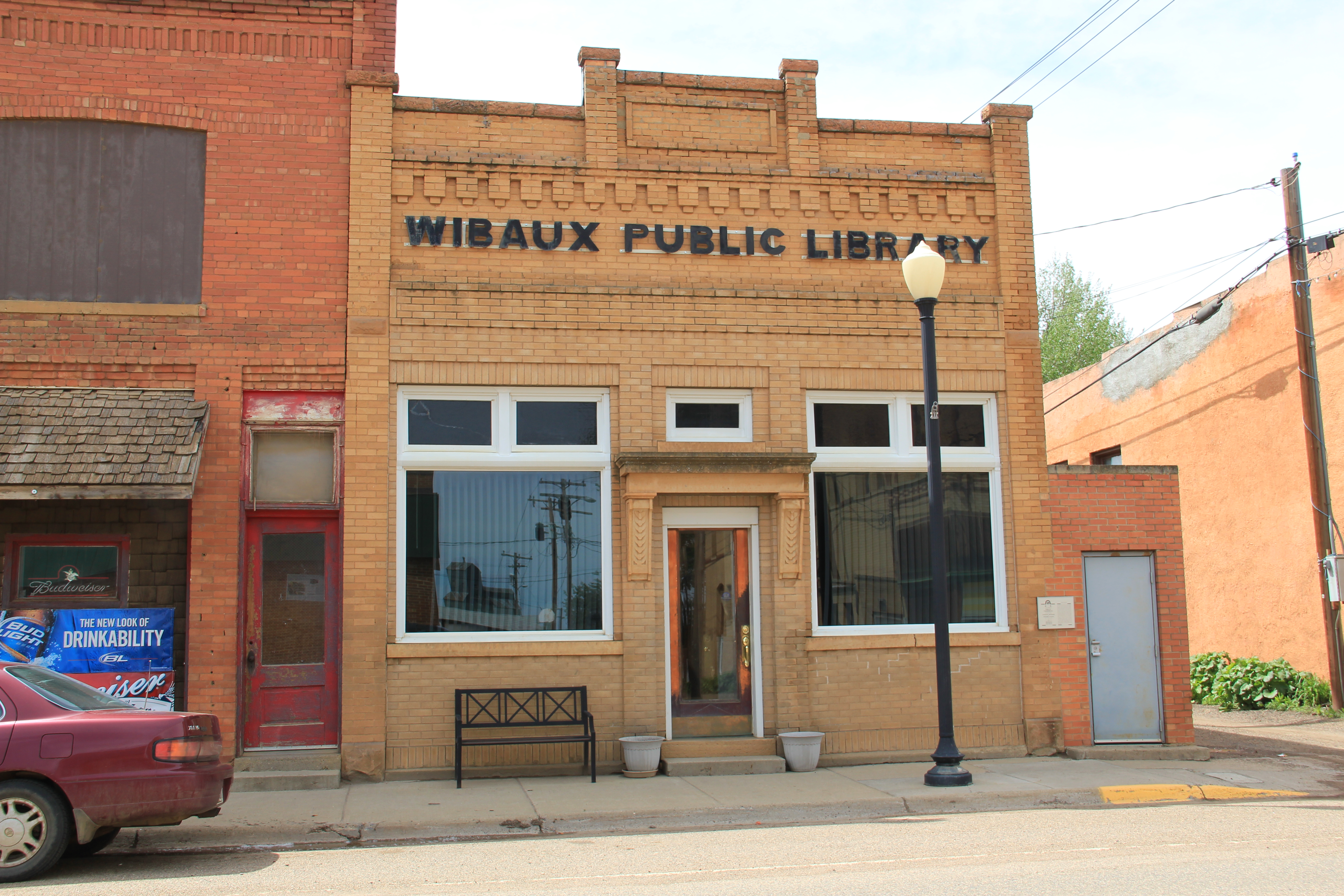
With old historic hotels, business blocks, and bank buildings–one transformed into the town library–still intact, here is a commercial historic district just waiting one day to be placed into the National Register of Historic Places.
IMG_0382
Besides the bars, however, I enjoy Wibaux for its sense of a western ranch town, even in the face of the expanding reach of the Williston oil boom. There is the 1950s contemporary-styled Wibaux County Courthouse; the county fairgrounds south of town; and a bit farther south on MT 16 the historic Nunberg Ranch, which is listed in the National Register.
IMG_0483
IMG_0480
IMG_0479
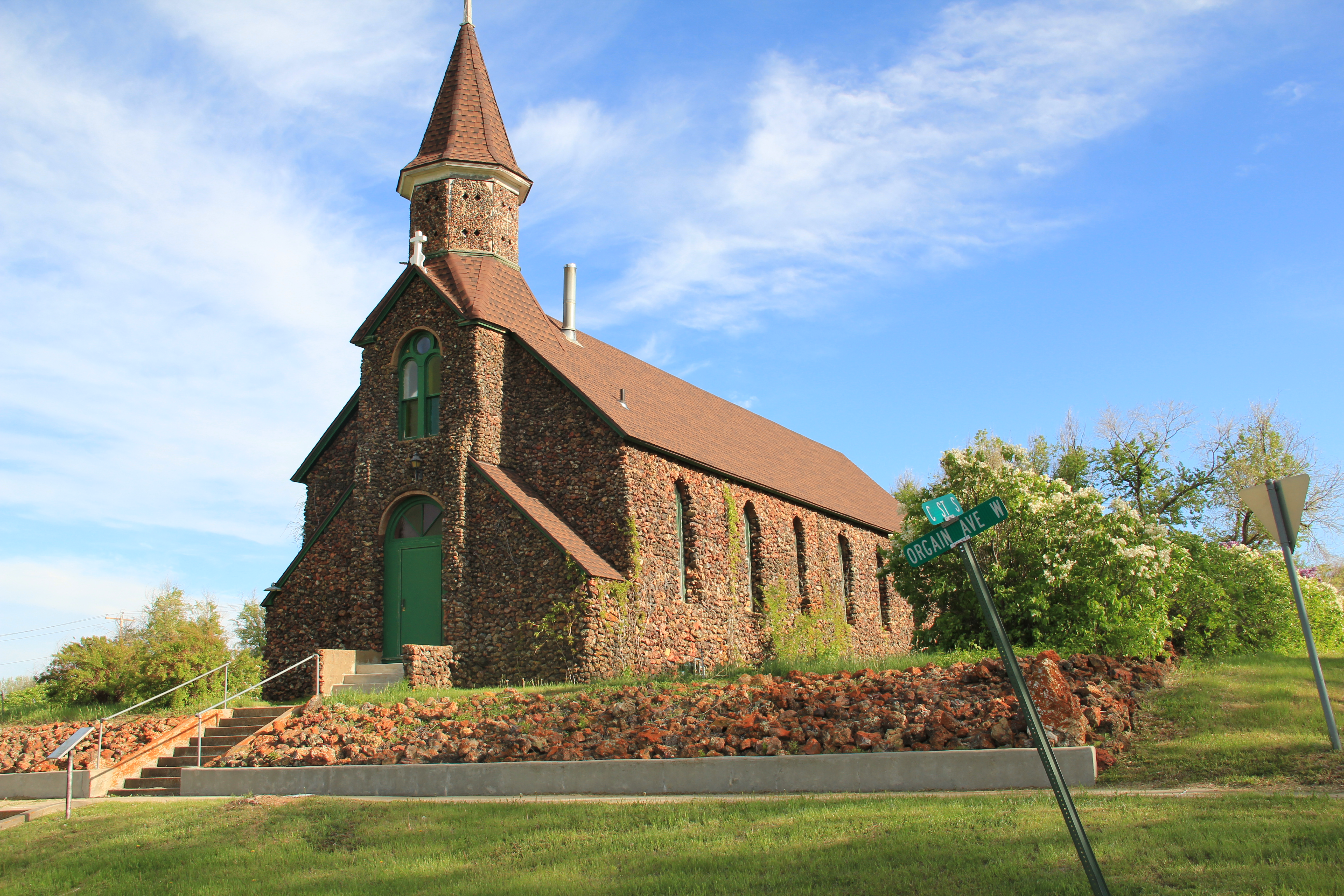
Also listed in the National Register is the striking St. Peter’s Catholic Church, certainly a Gothic Revival landmark when the congregation built it on a high point west of the business district but then made into a western landmark with the addition of river stone in 1938. Here was a statement in the depression era: we are here and we are proud.
IMG_0493
But if you turn to the north, however, on the other side of the tracks is the life of the community, the school. And this image of the high school football field is perhaps the best way to close a post about Wibaux. Yep, it is small, determined, and still here, even when many think it should have blown away decades ago.
IMG_0496

Sheridan County: a forgotten railroad landscape

IMG_7450
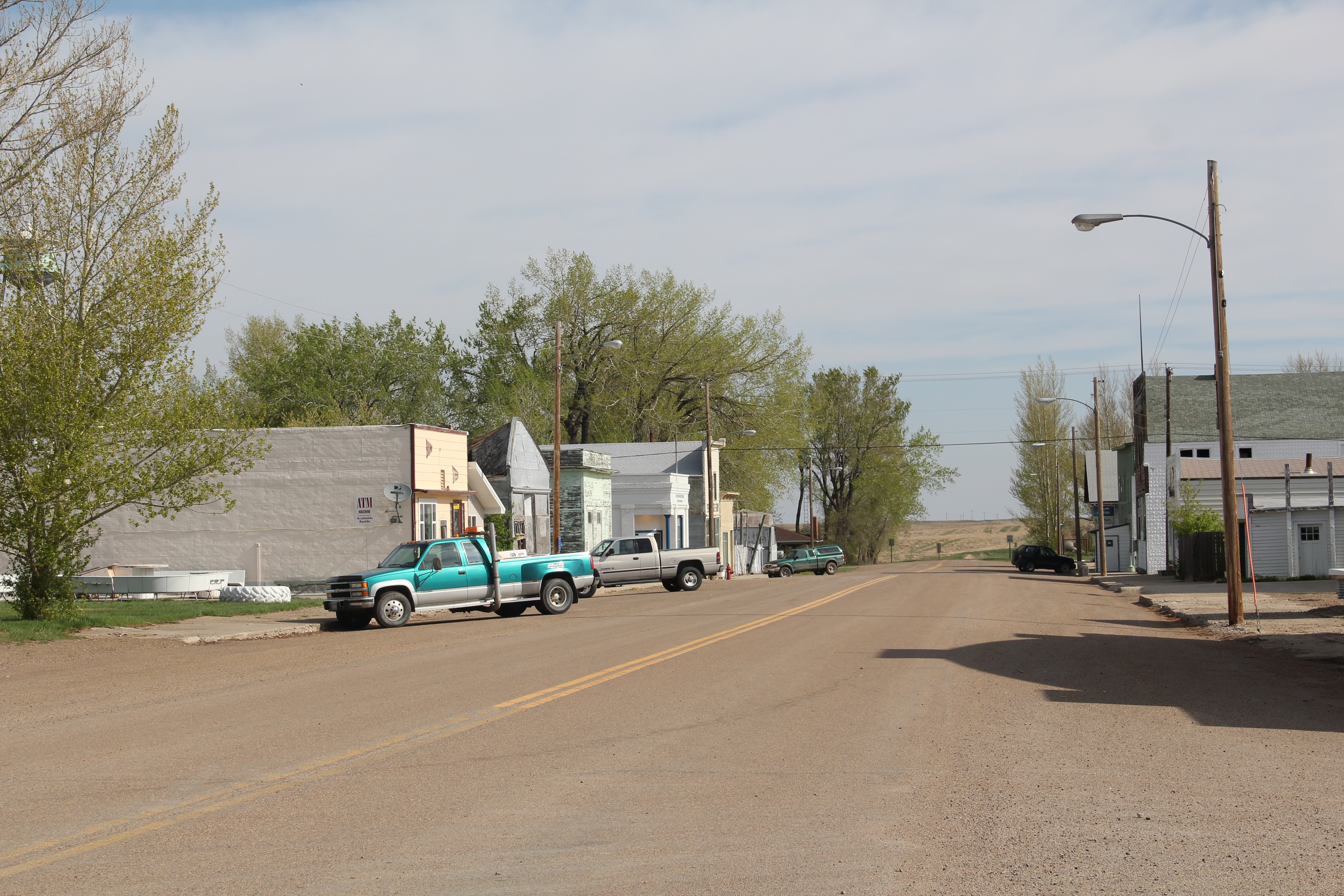
In the past posts I revisited the two Daniels County towns at the “end of the line” of a spur line constructed by the Great Northern Railway in the early 1910s as a way of countering the push into northeastern Montana by the Soo Line at the same time. These attempts at railroad expansion and town building took root during the homesteading boom of that decade. Now with depots gone and residents drifting away, the old railroad corridor as it stretches from Opheim on the west end to its junction with the main line at Bainville, takes on the appearance of a ghost line, attested by the image above from Homestead and the one below from Reserve,both in Sheridan County.
IMG_7473
At the rough mid-point of this spur line lies Plentywood–rather forsaken spot I thought in 1984 but a town now actually facing too much growth, too fast as the need for residences and space for the thousands of Bakken oil field workers seeps into northeast Montana. In 2013, the impact on Plentywood and Medicine Lake to the south was apparent as this just opened man camp at Medicine Lake shows.
IMG_7458
Plentywood was of considerable interest to me because once the initial homestead boom turned to disaster in Sheridan County by the time of the Great Depression, there was a local movement to create a communist party. This story was known in 1984 but now we have full accounting due to the research of Sheridan County native Verlaine Stoner McDonald in her book The Red Corner (2010).
IMG_7492
IMG_7491
Plentywood has a classic T-plan town, with its depot and huge grain elevators defining what was the head of the town–and then a long “stem” of the T, where first came the commercial district, then a residential district, and finally at the “bottom” of the T: the county courthouse.

Plentywood's T-town plan, looking from the courthouse

Plentywood’s T-town plan, looking from the courthouse


This arrangement of space spoke to the railroad’s concern for safety and efficiency: T-plans moved traffic and pedestrians off of the tracks. But when the Works Progress Administration built the understated WPA Modern-styled courthouse in 1937, placing it at the end of the town, you also had a classic statement of where power lay in these plains country towns. The railroad stood at the head; at the end of the town was the seat for local politics.
IMG_7497
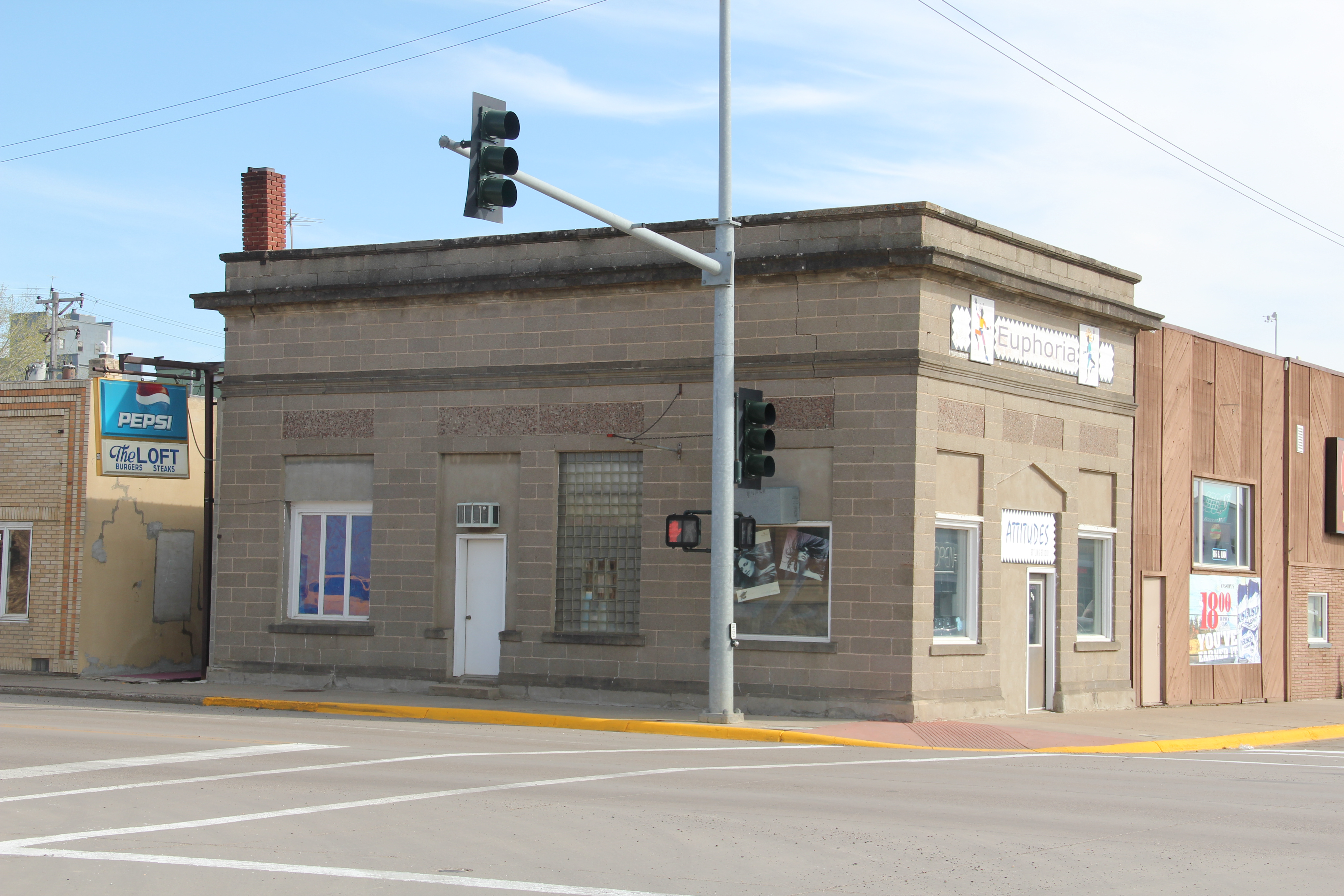
In 1984 another interesting arrangement of space I noted in Plentywood was how three different banks stood on three of the four corners of the town’s most prominent crossroads, where Montana Highway 16 crossed the main street. The banks are still there with the stone-work of the historic Adolph Riba bank (built by Henry and John Hill from the village of Raymond to the north), making it a prominent landmark.
IMG_7509
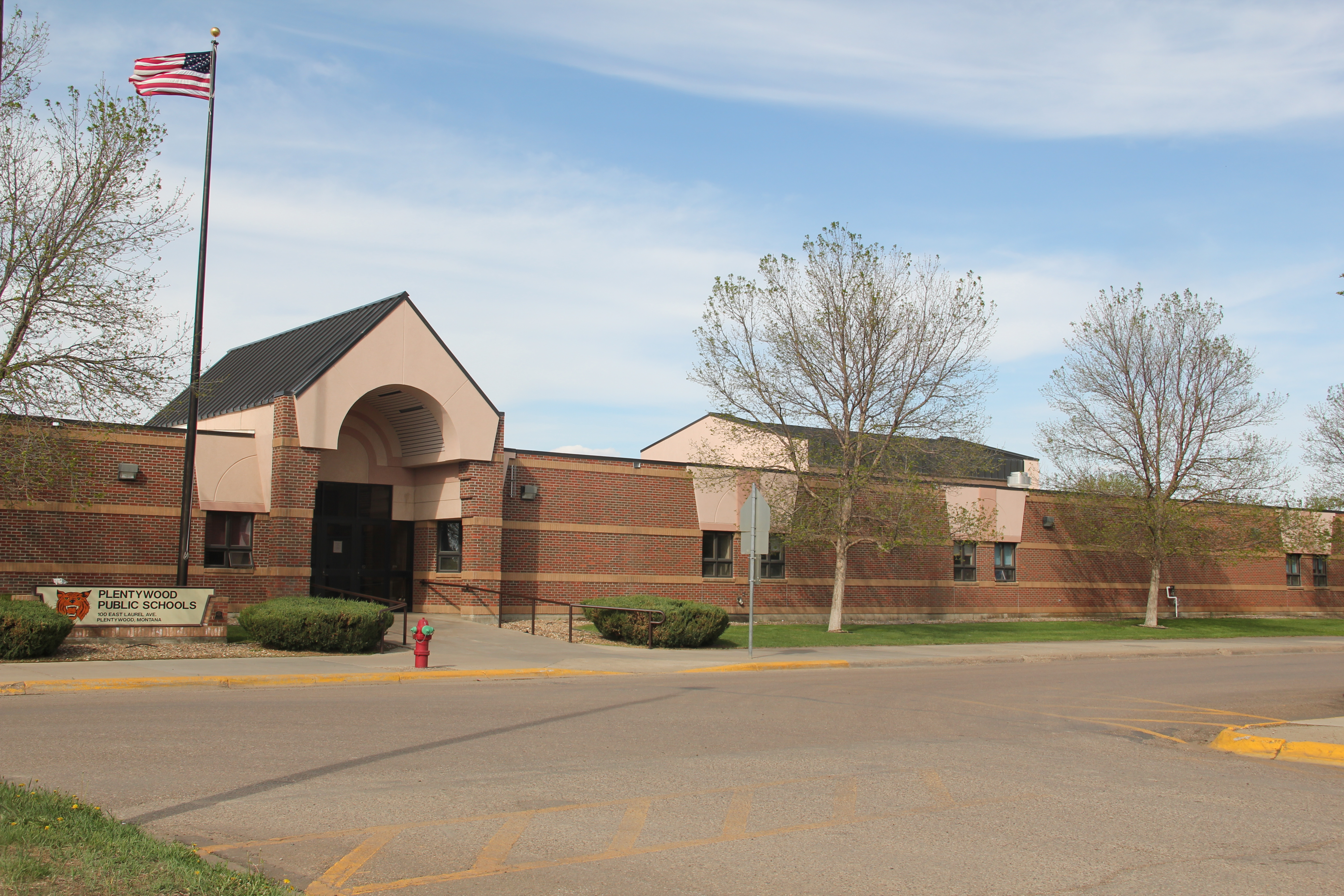
The impact of the regional oil boom on the public landscape is most evident in new schools and the new library, attached to the historic courthouse, changes I didn’t expect to find in a town that had lost 700 residents from the 2400 or so who lived there in 1984.
IMG_7500
I was especially pleased to see the town’s historic movie theater, the Orpheum, which stands adjacent to the “top” of the T, still doing well. It was rare to find a small town movie theater in 1984, even less common today. Plentywood today is more than the historic center point of a neglected railroad corridor; it lies in the center of the changes coming to the region out of the 21st century oil boom of the northern plains.
IMG_1680
IMG_7520

Flaxville’s disappearing act

IMG_7593
A generation after its first settlement in 1913-1914, over 500 people lived in Flaxville, a Great Northern spur line town in Daniels County. When I visited in 1984, I found a declining railroad town, very common in the region, but I also liked how an old one-story brick bank still served the town’s 142 residents as a post office. Adaptive reuse at its best.
IMG_7595
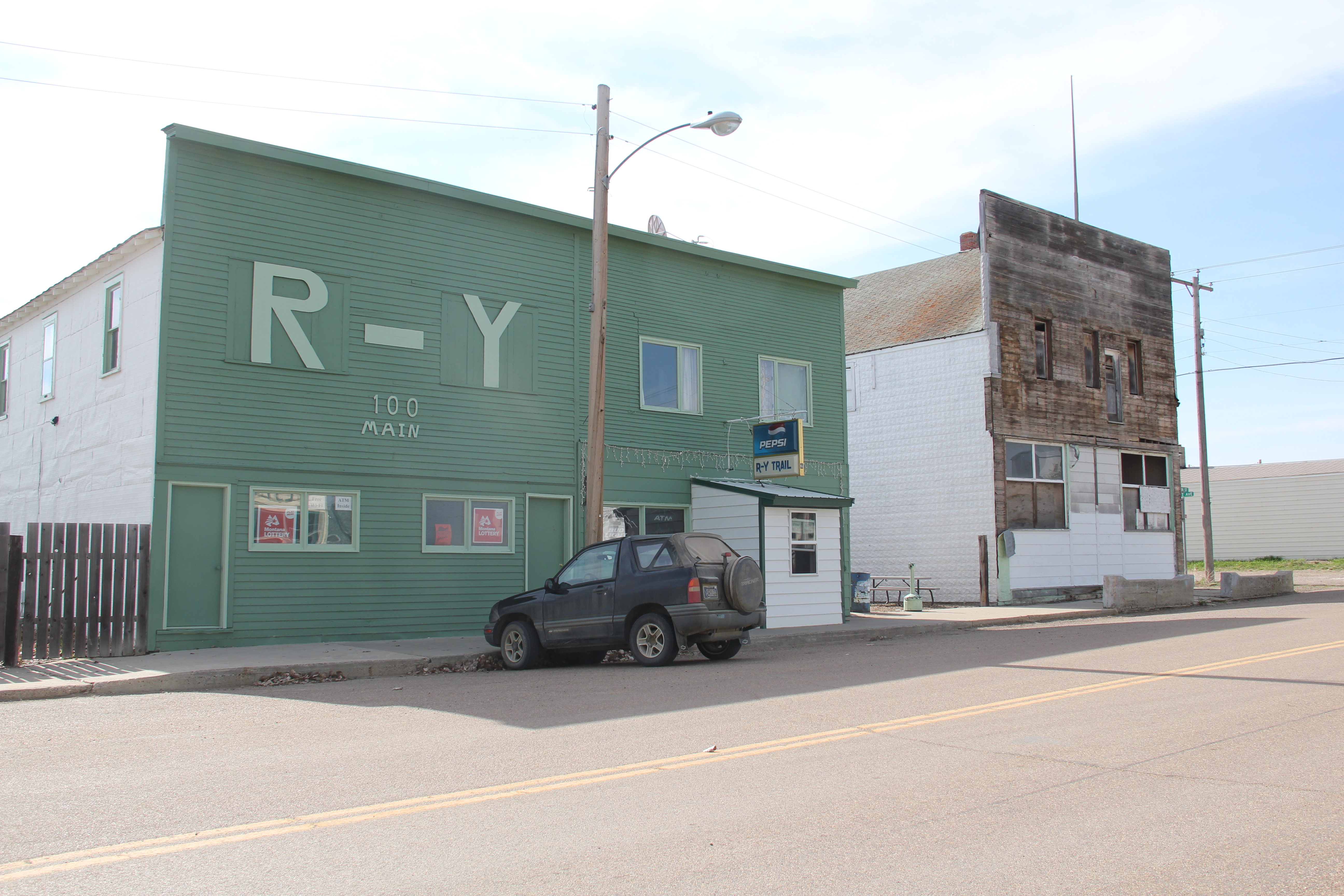
Almost 30 years later the post office remained but one-half of the residents had gone. The census taker in 2010 counted 71 people in Flaxville. Despite the disappearing numbers, Flaxville has many worthy landmarks beyond the historic bank. Let’s start with the R-Y Bar, one of the few reminders in all of Montana of a historic trail that once connected Regina, Saskatchewan, to Miles City, far to the south.
IMG_7600
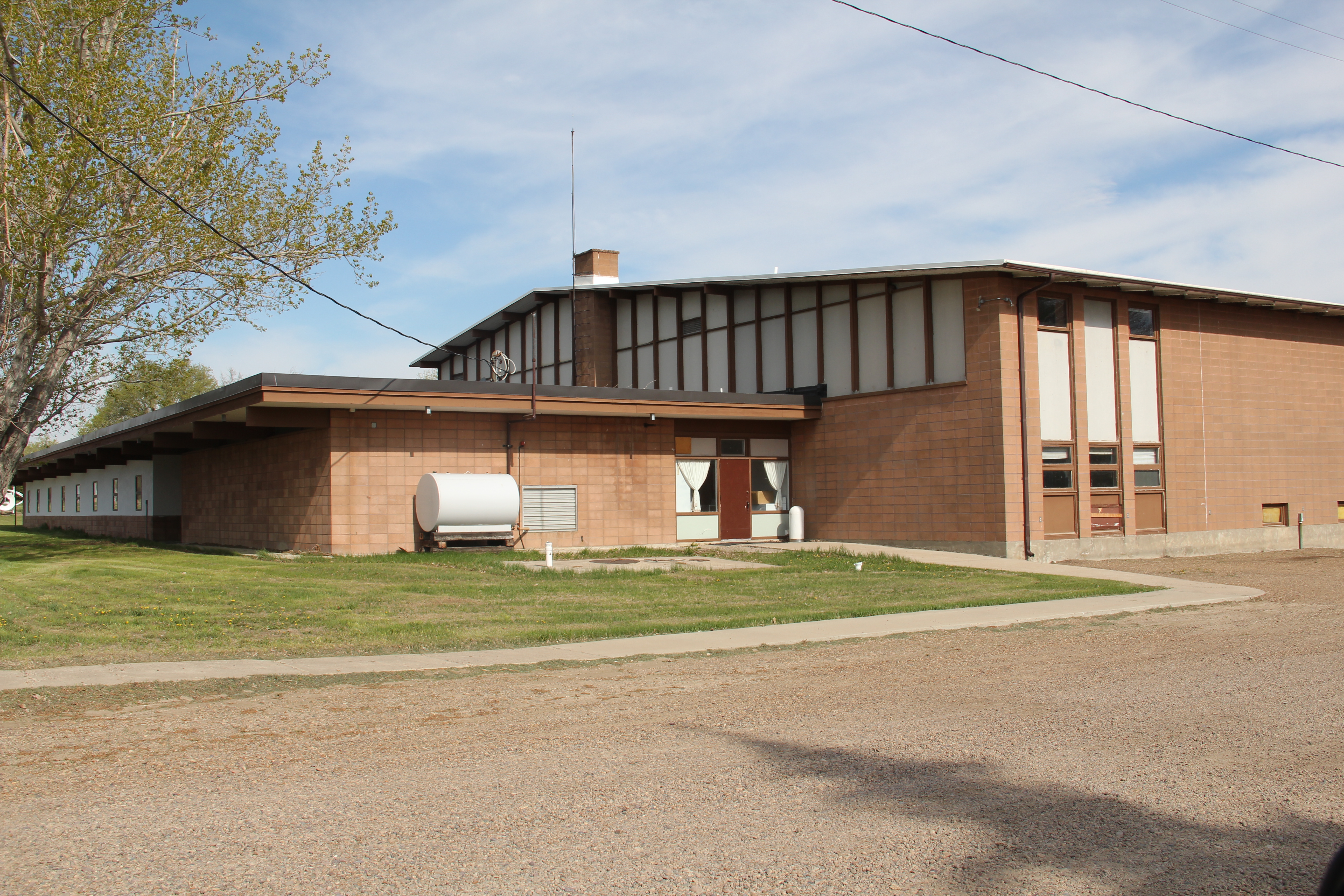
Then there is the Flaxville school, actually a marvel of contemporary design that you would never expect to find in such an out-of-the-way place. Once again we find Montana modernism is not just in the cities.
IMG_7604
IMG_7605
IMG_7602
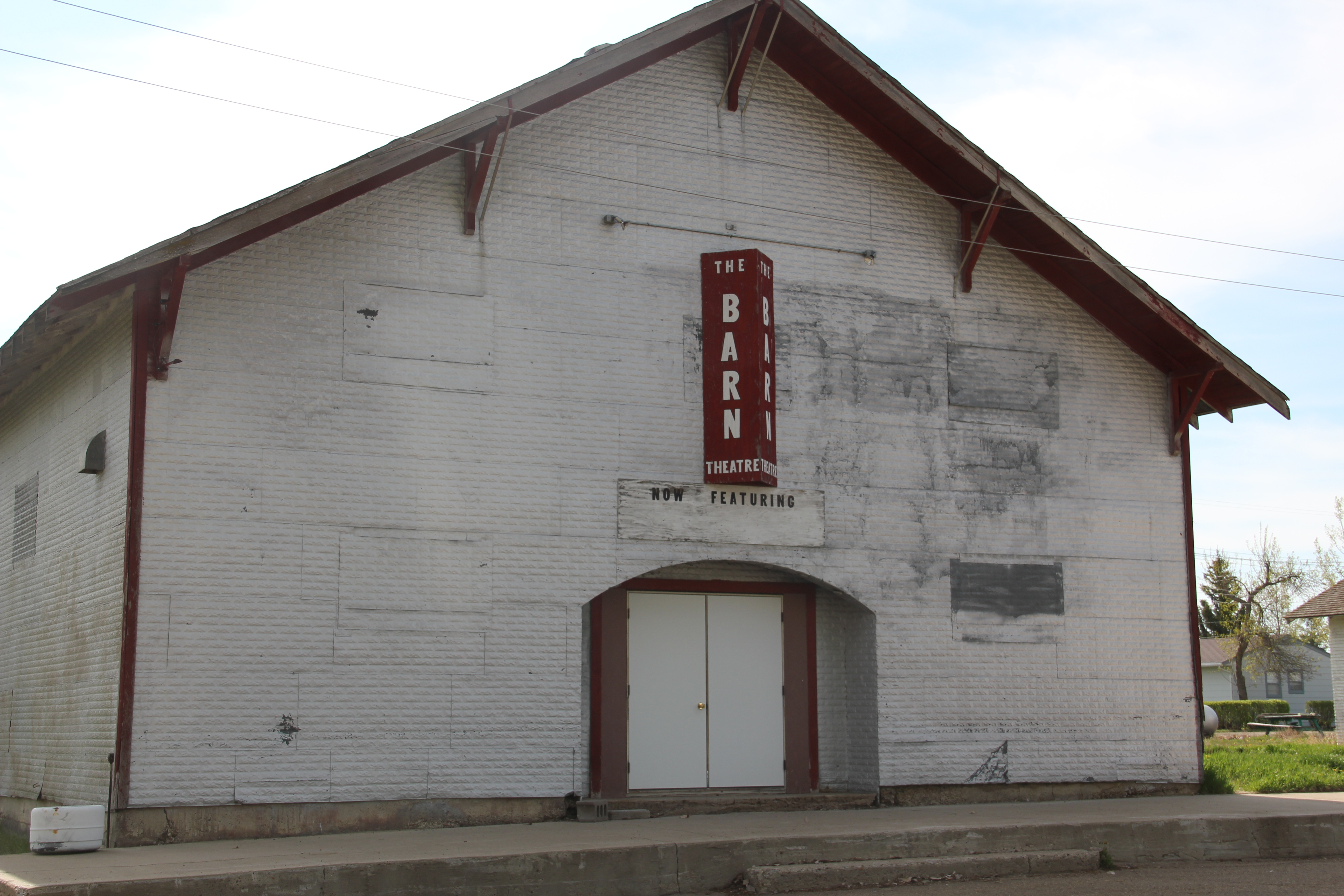
The Barn, once a movie theater now a community theater and center, is a true rarity–a vernacular design for a popular culture purpose that seems almost crazily out of place. Its size speaks to time when whole towns gathered in one place for the movies. Its empty marquee today records a much more unpleasant truth: the
IMG_7598
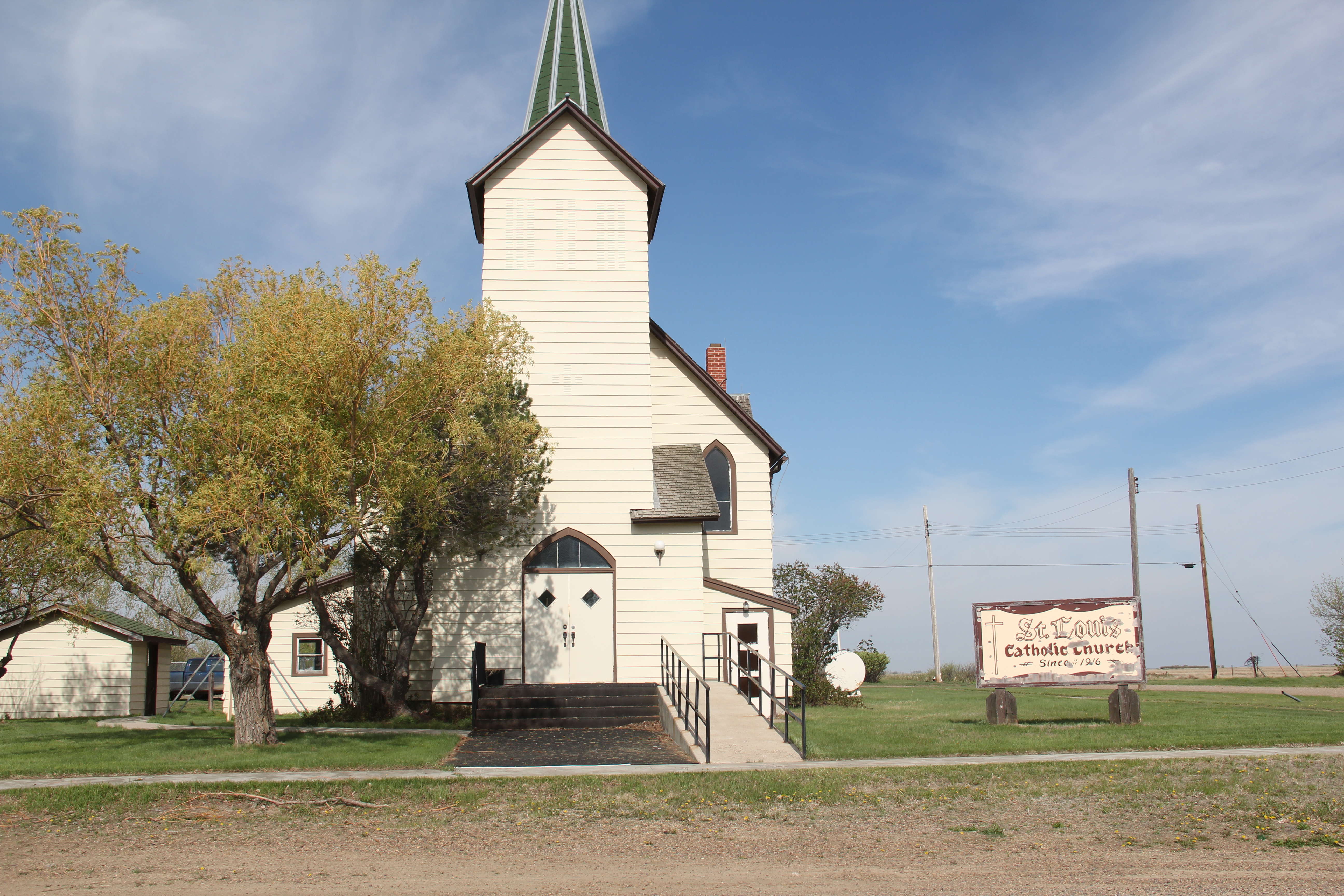
reality of what happens when everyone begins to leave: the lights do go out. Yet the remaining local Catholic and Lutheran churches also speak loudly, to the quiet determination of those who remain here in Daniels County.
IMG_7603
IMG_7601
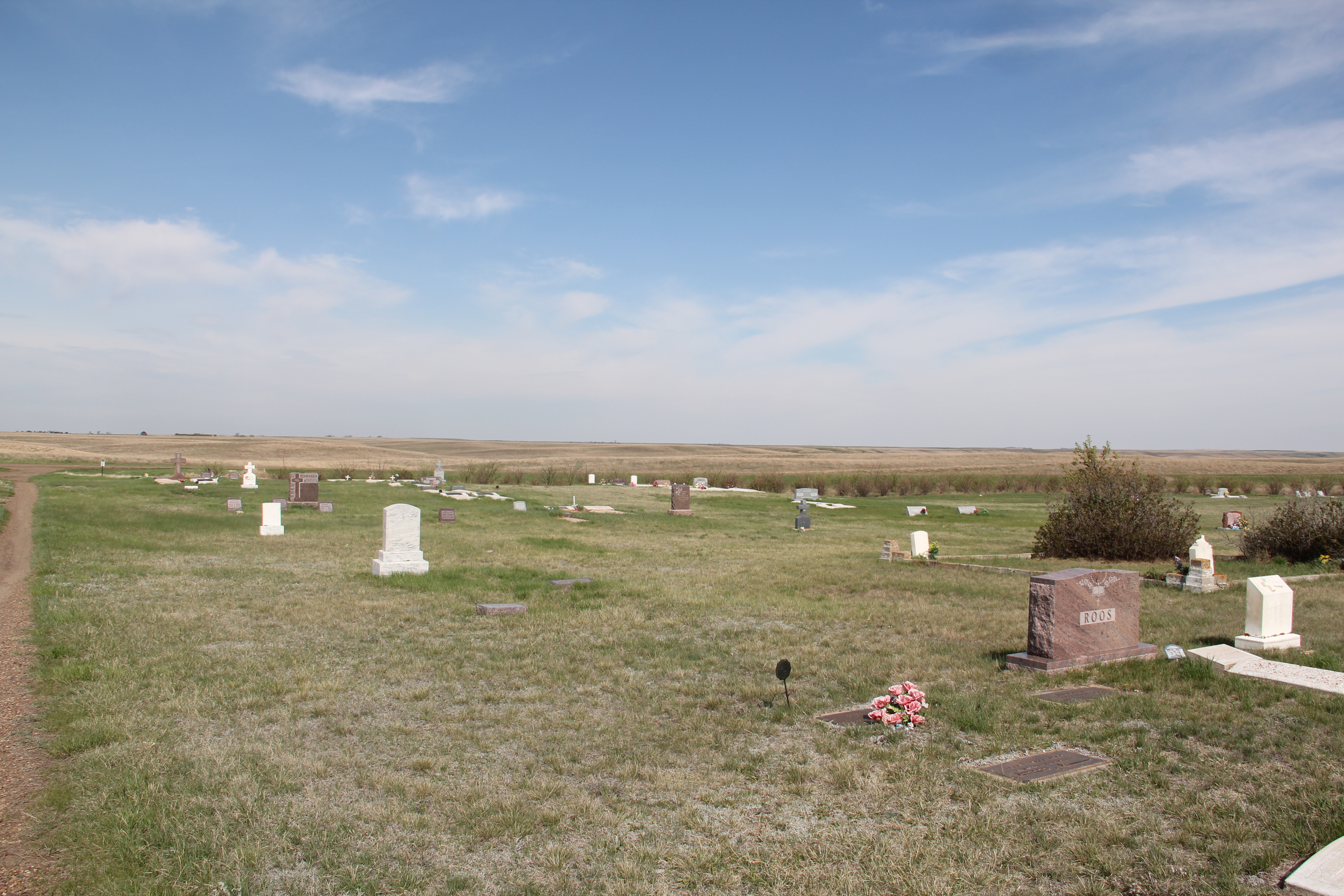
Naturally the grain elevators remain as sentinels overlooking Flaxville but few other commercial enterprises are open. The starkness of the town’s cemetery records both the past and future of this tiny place in Montana’s northern plains.
IMG_7592
IMG_7624

Fort Peck Indian Reservation, Poplar, Montana

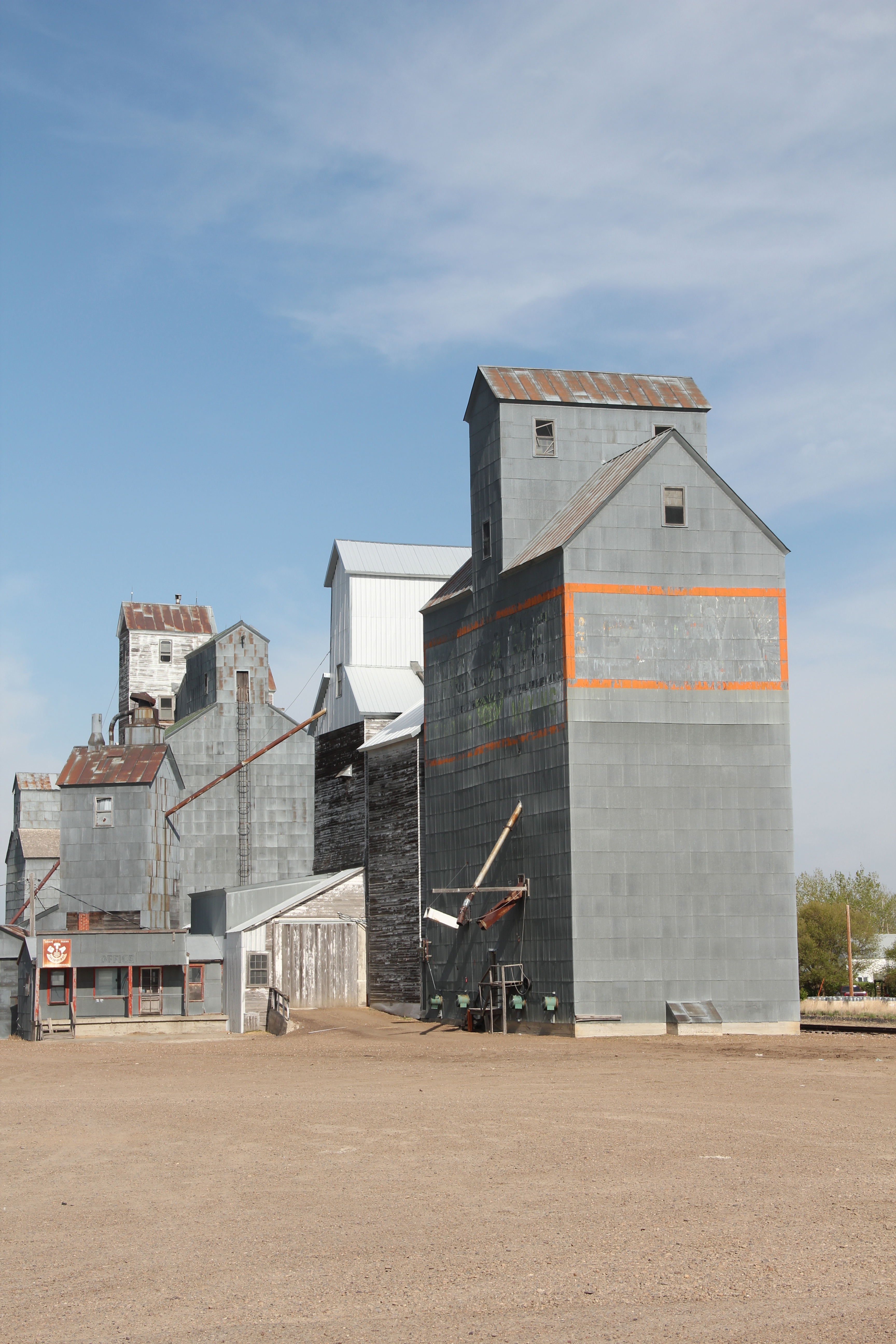
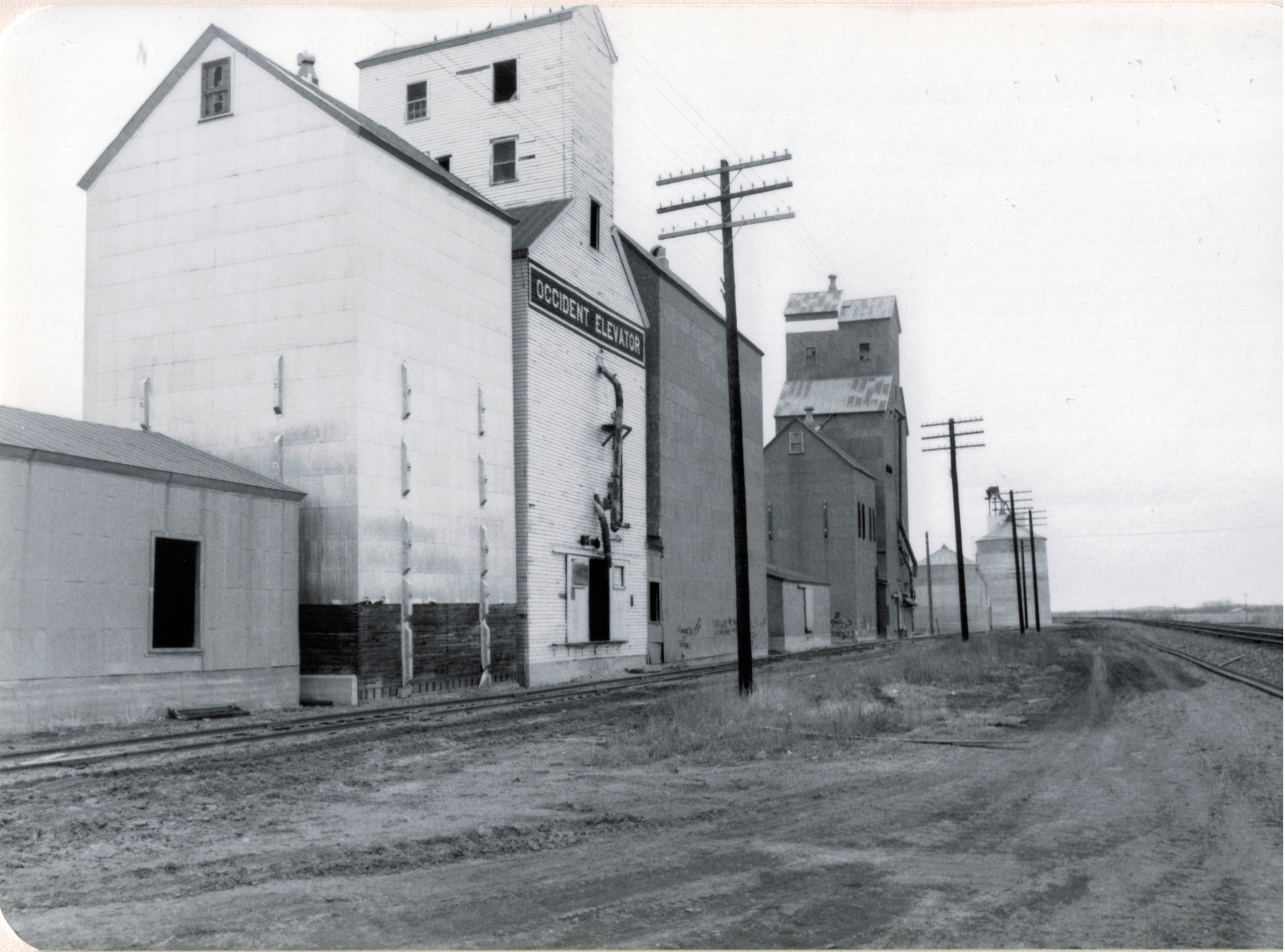
Grain elevators on Great Northern line, 1984

Grain elevators on Great Northern line, 1984

If you arrived in Poplar, Montana, via train, as tens of thousands did 100 years ago, you saw little that made this place seem different than dozens of other northern plains towns.  Grain elevators dominated the skyline; almost as imposing were multi-story hotels–not luxury lodgings but a place to literally land for newly arrived homesteaders or “drummers,” salesmen traveling the line trying to drum up business for industries located in faraway metropolitan centers.

IMG_7573

Gateway Hotel, Poplar MT

IMG_7571

Poplar Hotel, Poplar MT


But if you move north away from the tracks and toward the modern-day U.S. Highway 2, a different, distinct world is found, in the historic buildings of the Fort Peck Indian Reservation.  Near the Montana Highway Historical Marker telling the reservation’s story is a historic jail building from the late 19th century–the town’s most identifiable historic landmark in my 1984 work and today.

IMG_7562

IMG_7559


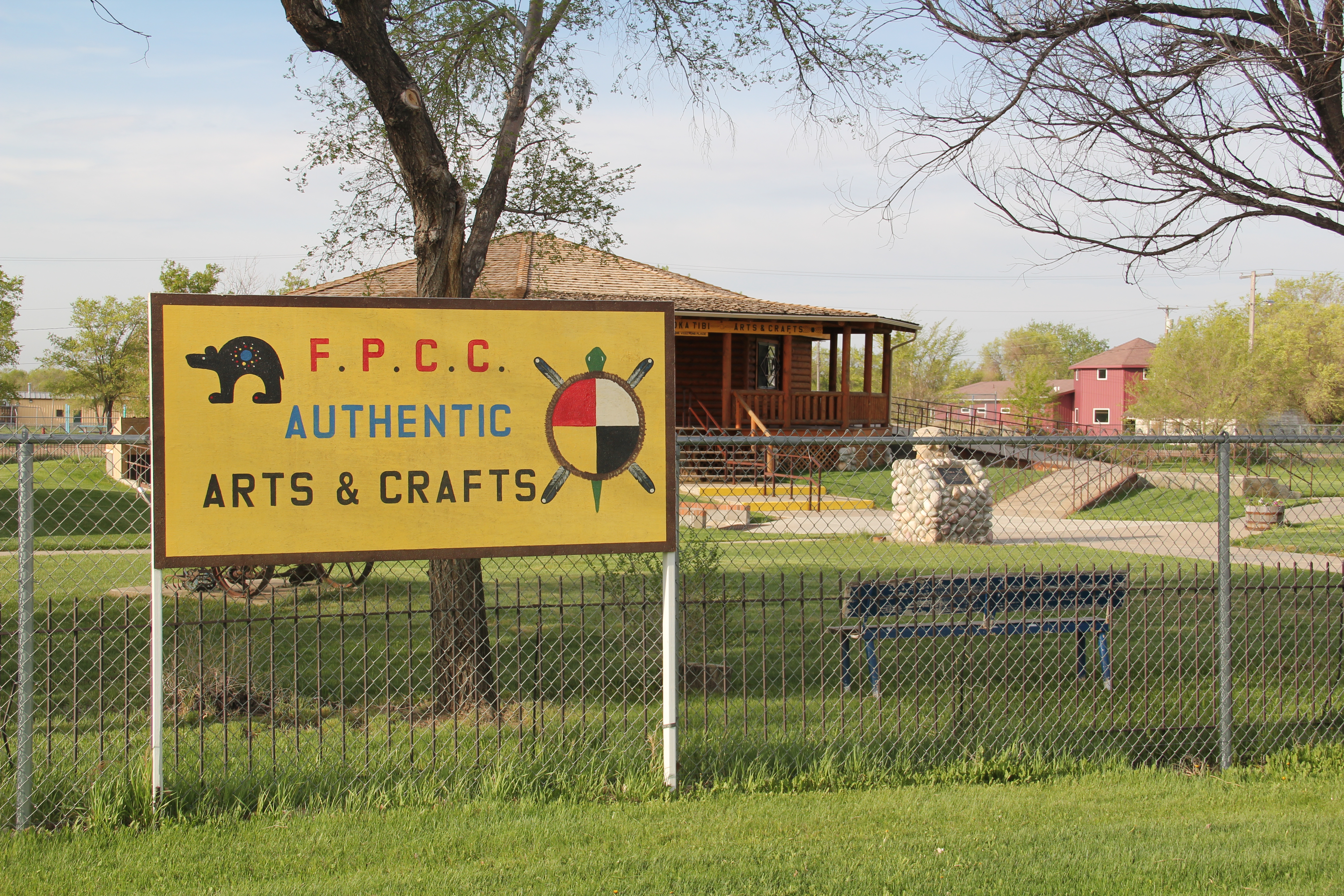
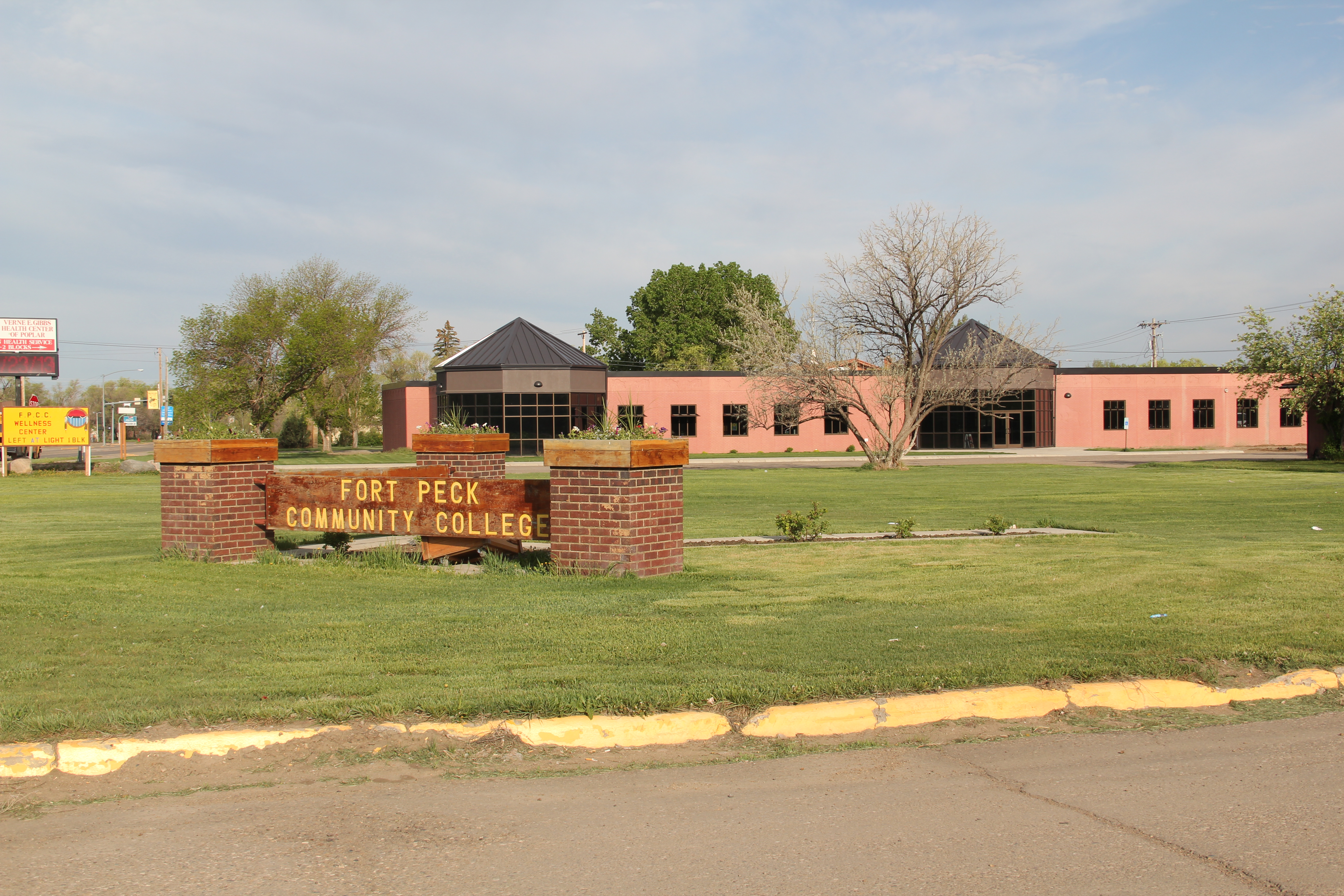
Next to the jail was a new arts and crafts shop, aimed at travelers along U.S. Highway 2, part of a significantly expanded presence for the Fort Peck Community College.

IMG_7561

Indeed, the new college buildings are among the most attractive institutional buildings that you can find along the eastern end of U.S. Highway 2 in Montana.  Their bold colors and dramatic placement along the highway demonstrates the importance of education for the future of the Fort Peck Indian Reservation.

IMG_7564

IMG_7558

IMG_7569

IMG_7566
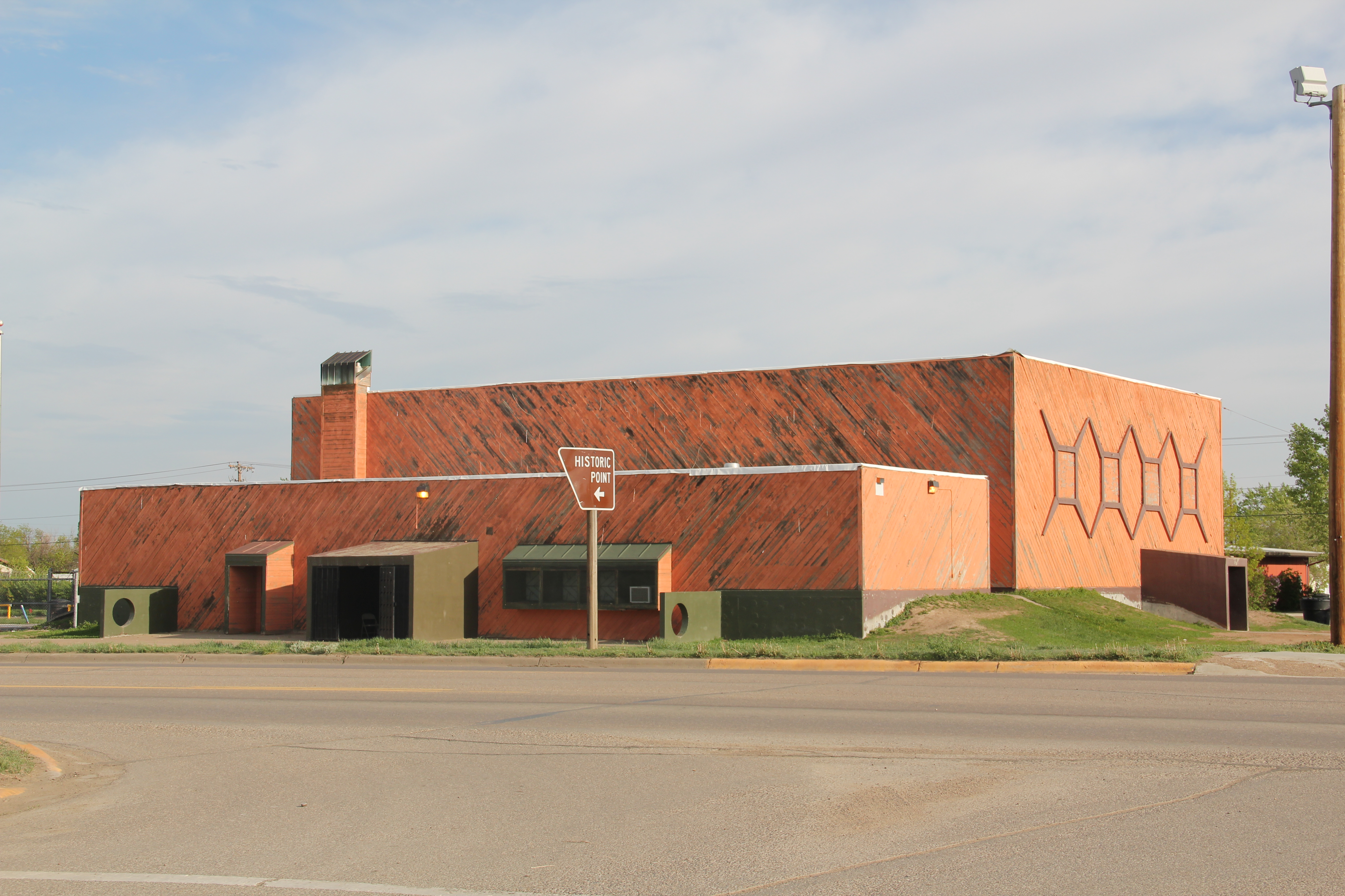
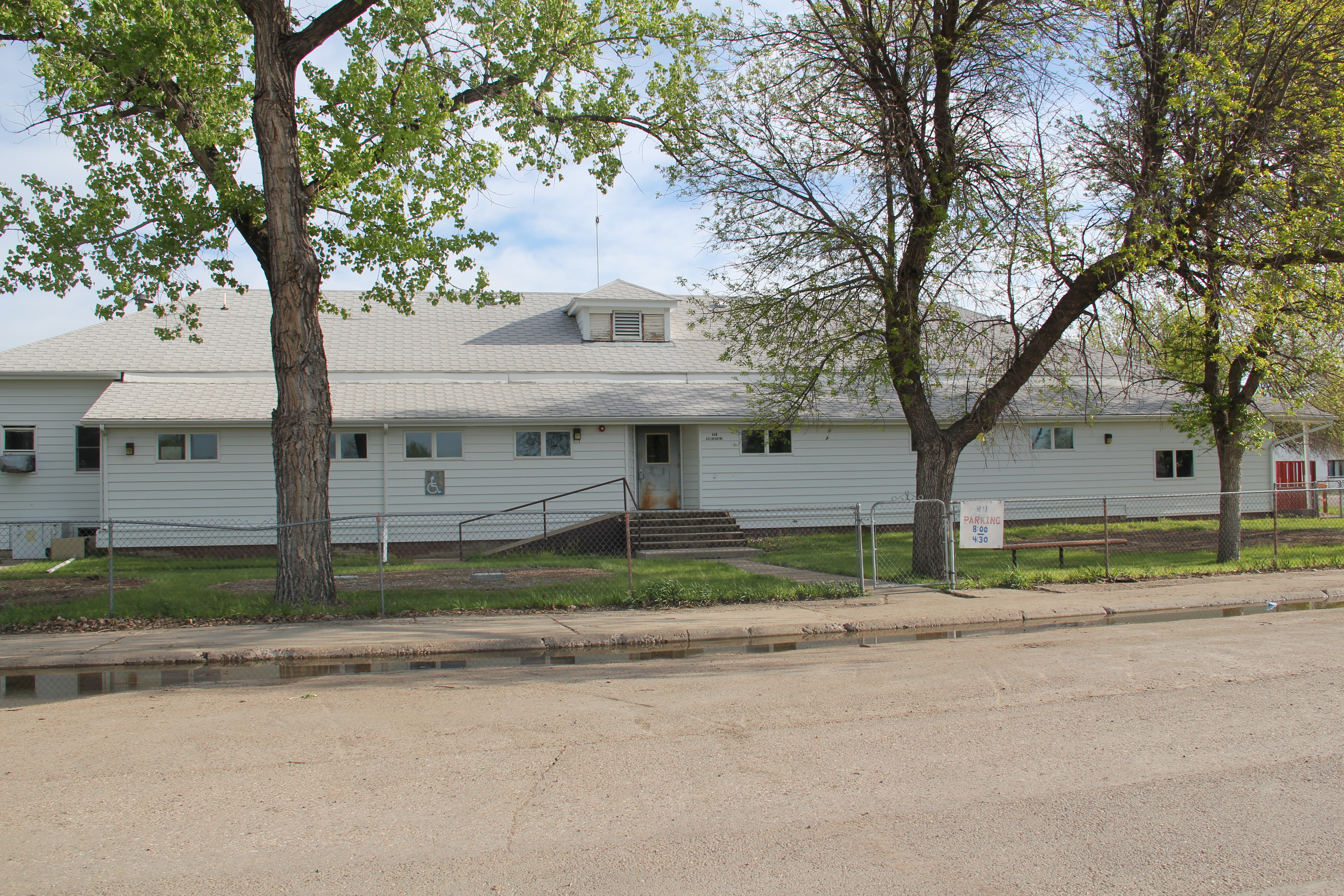
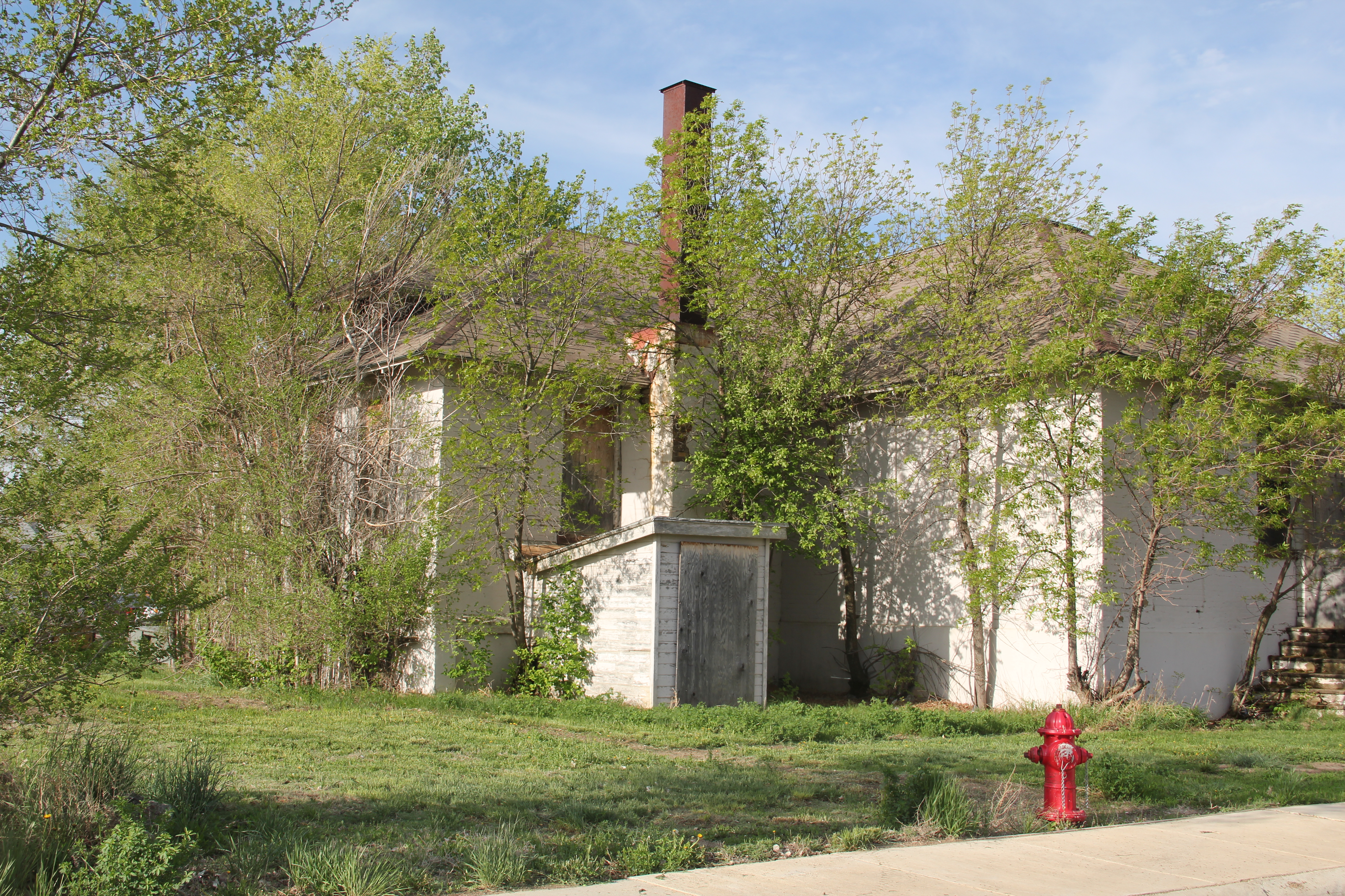
North of the new buildings are many historic buildings associated with the reservation’s development in the early 20th century.  Some are abandoned and in poor repair but most are in use, still serving the tribes in the 21st century.

This building was a museum in 1984; now that activity has moved to the highway, better to attract visitors

IMG_7778


No doubt as to my favorite new building in Poplar in 2013:  The Perculator.  Not only a classing roadside building, but they also made great coffee–perfect for a long day of fieldwork in the Fort Peck Indian Reservation.

Wolf Point on the Hi-Line

Great Northern corridor along U.S. in Roosevelt County

Great Northern Railway corridor along U.S. 2 in Roosevelt County

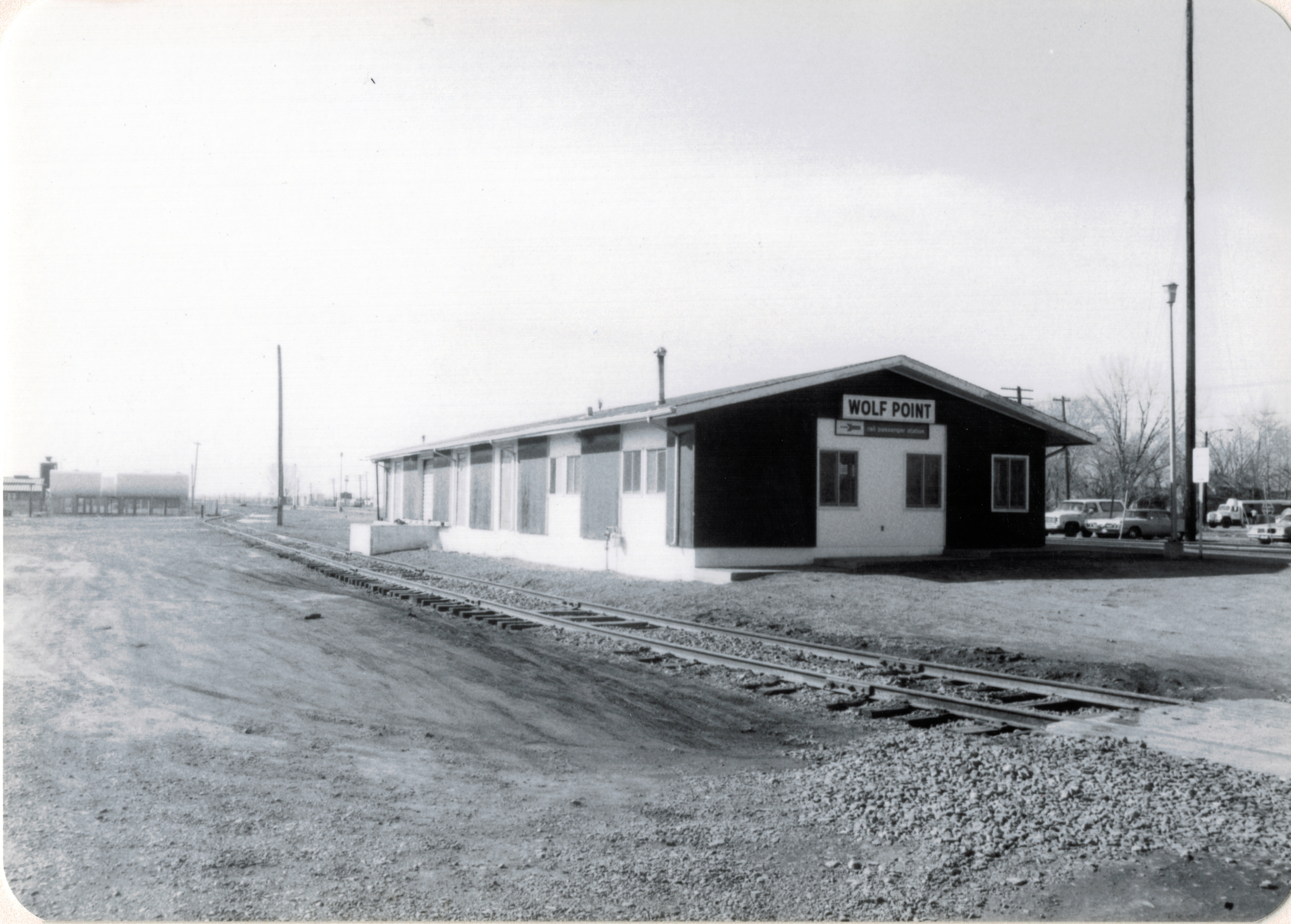
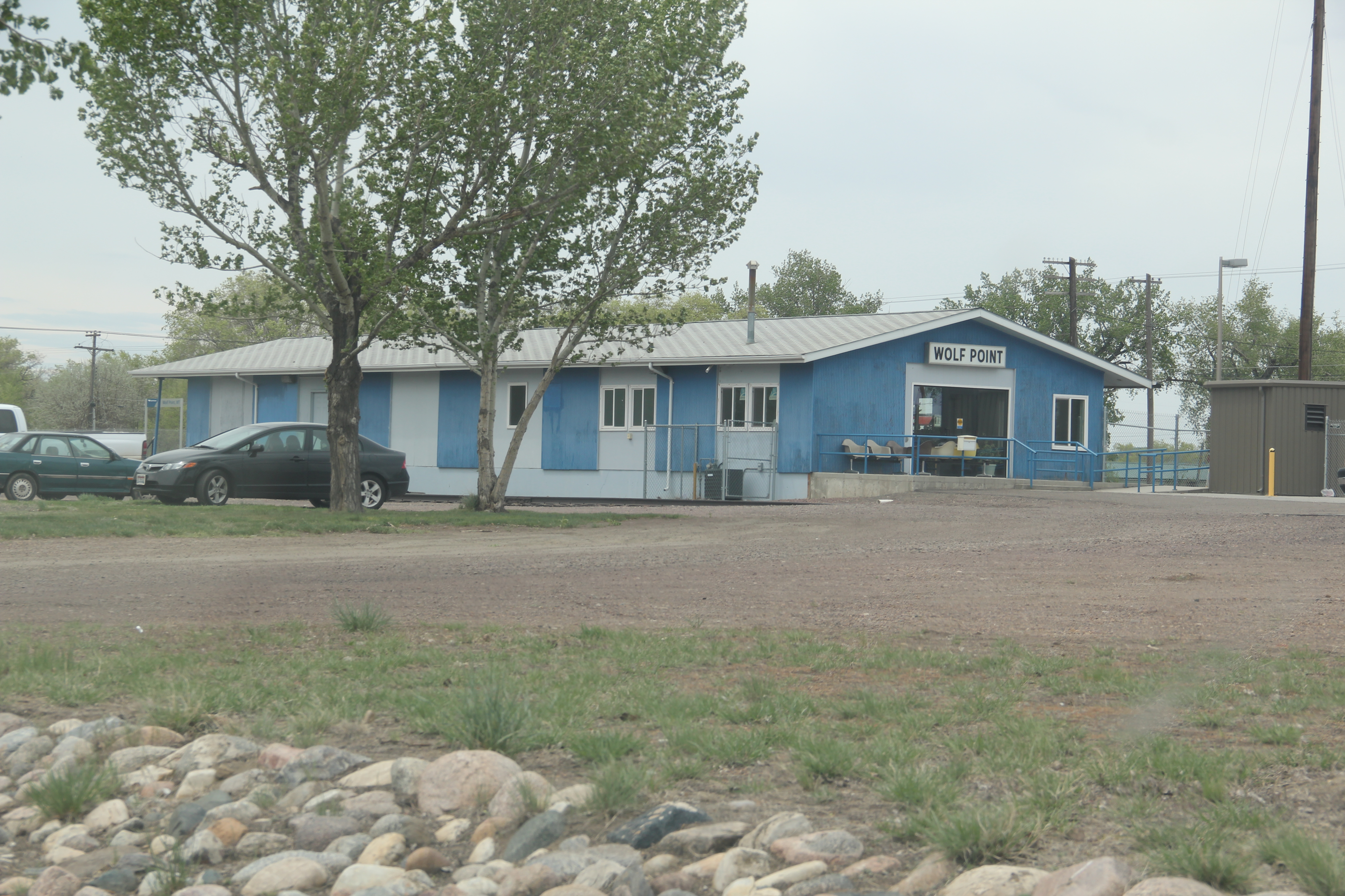
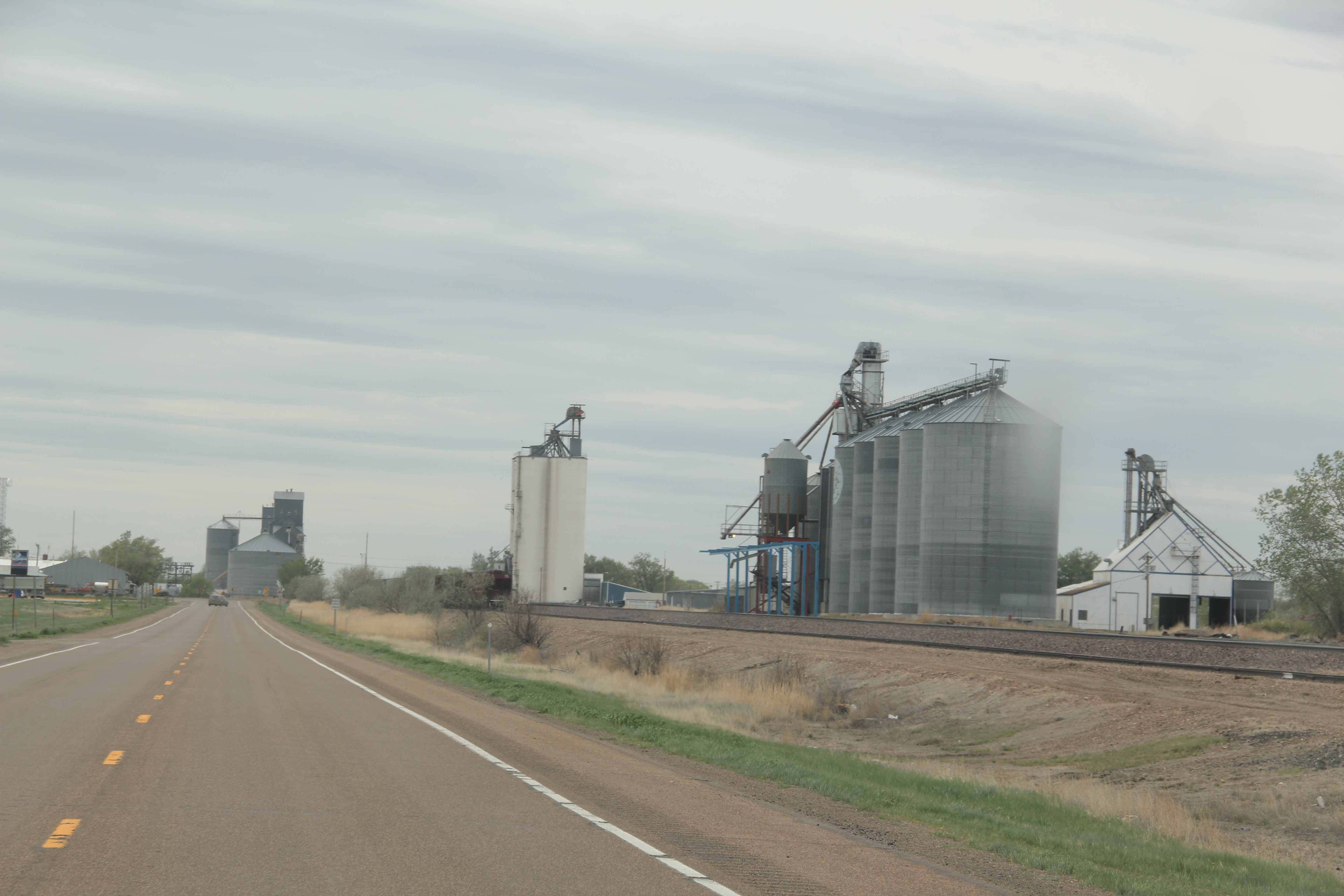
When I encountered the northern prairie of Roosevelt County in 1984, it was difficult to tear your eyes from the omnipresent tracks of the Great Northern Railway.  The trains roared past regularly, and the tracks defined space and town location throughout this stretch of U.S. Highway 2.  So when I arrived in Wolf Point, the seat of Roosevelt County, I immediately looked for the depot, and came away disappointed.  Here, for northeast Montana, was a large town: certainly I would

Wolf Point depot, Roosevelt  County

Wolf Point depot, Roosevelt County

find more than the standard-issue Great Northern design.  It was different but nothing as I expected.  No grand architectural statement–rather a modernist building with little ornament or aesthetics to it, except here was what the railroad had become in the second half of the 20th century–a functional transportation system not the town builder and landmark of the turn of the century.

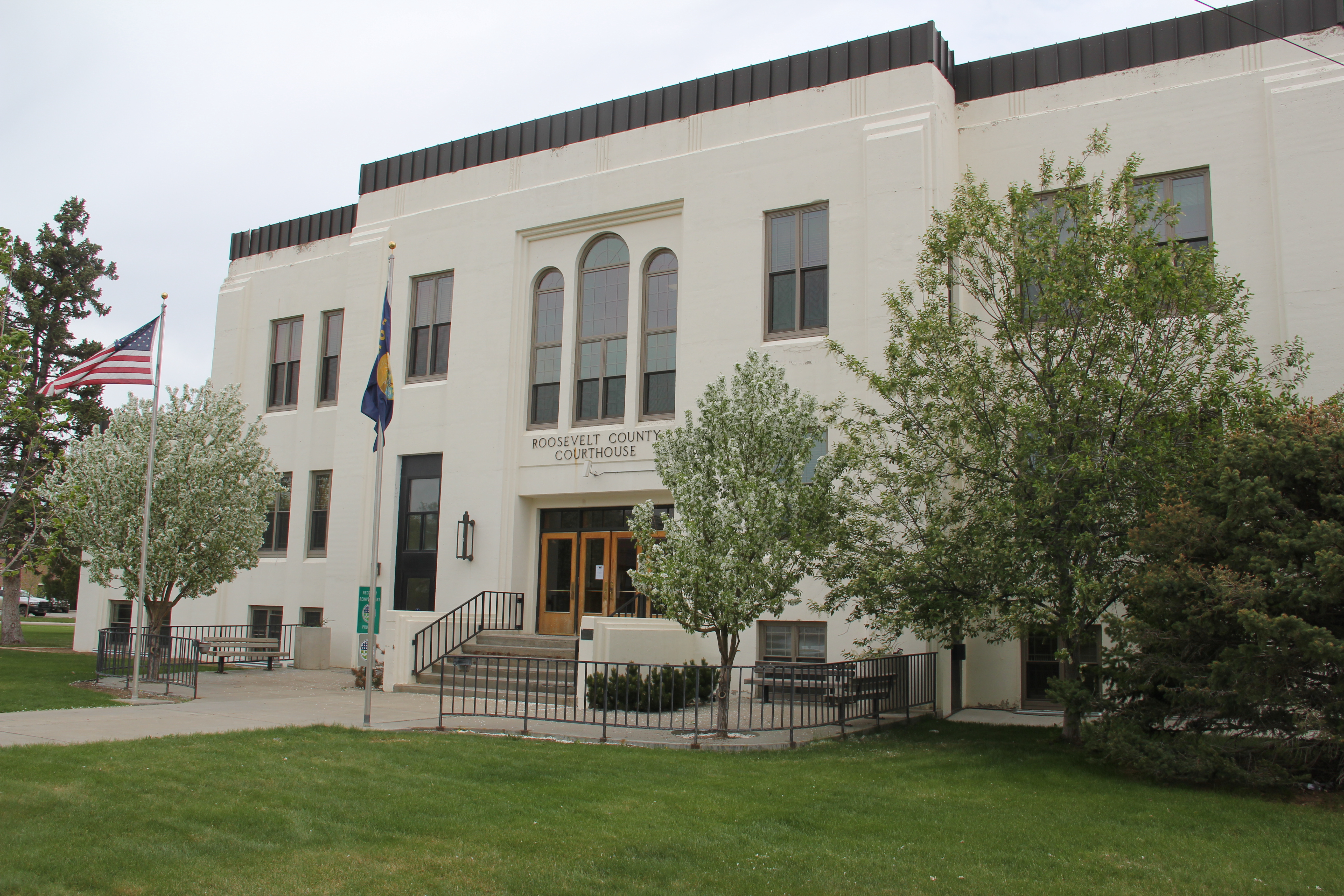
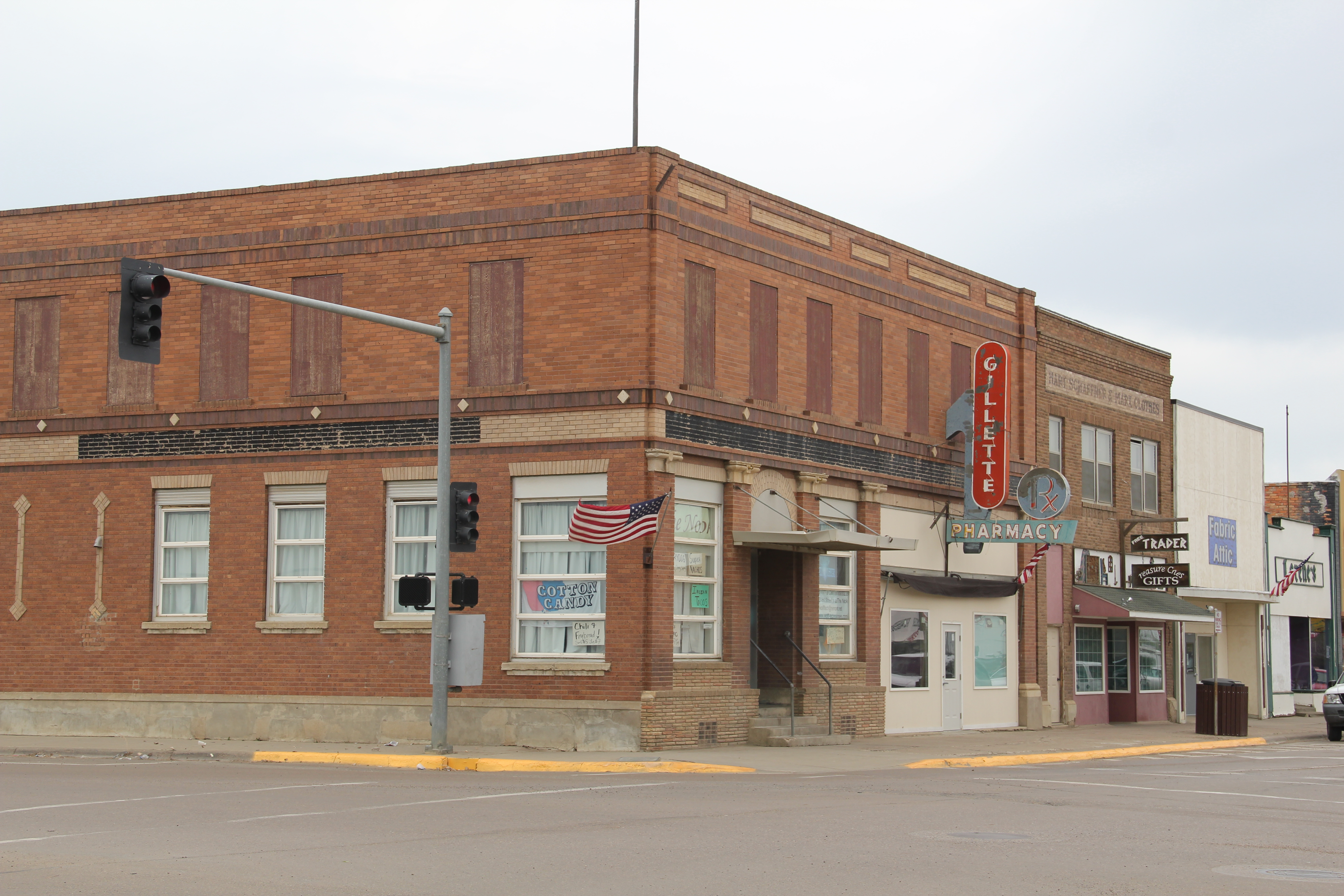
IMG_7737 But as I explored the town in 1984, and visited it again in 2013, I found several places worth considering in this small county seat of 2621 in 2010.  First was the impact of the New Deal.  Roosevelt County–named for TR not FDR–received one of the most striking modernist courthouses in the state, courtesy of the Work Projects Administration.

IMG_7743


Encountering such a gleaming landmark of the federal imprint on the region startled me, but also started me looking much more carefully at the impact of federal projects on the region, a research interest that culminated in an essay titled “The New Deal Landscape of the Northern Plains” for the Great Plains Quarterly.

Wolf Point, like almost every Hi-Line town, had suffered from population decline.  The town’s heyday came in 1960 with a population of 3585, which had dropped by 500 by 1980, and another 400 since then.  Yet Main Street was alive, not dead, but dilapidated with later day “improvements” marring historic commercial facades.

IMG_7764

IMG_7752

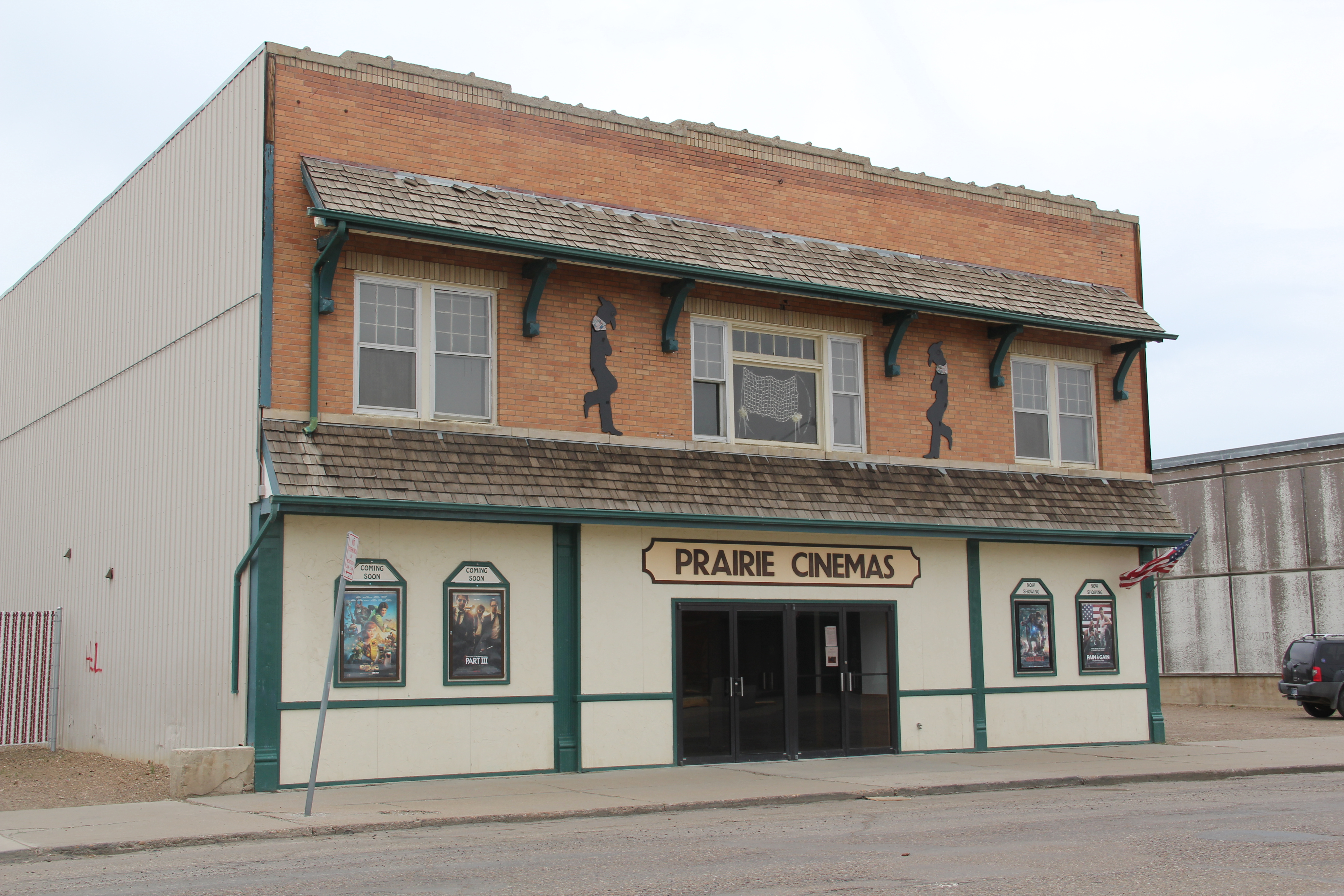
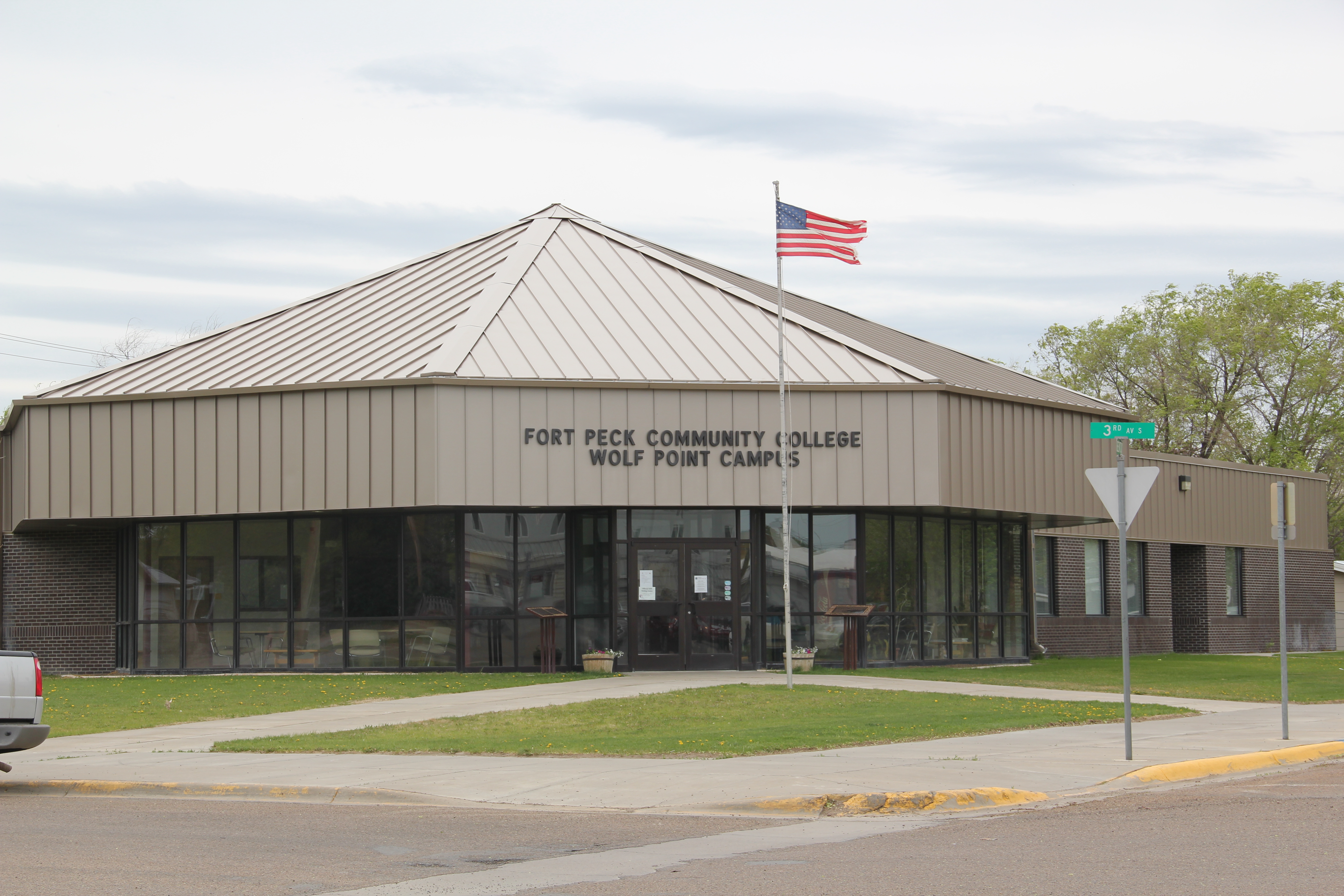
Yet the town retained its historic movie theater, and had recently expanded a local history museum that has a remarkable array of objects.  Wolf Point in the 2010 census was about 1/2 Native American in population; the most impressive building added to the town since 1984 was the Fort Peck Community College.

IMG_7761

IMG_7751

Wolf Point also had hoped to become the final landing spot for the Montana Cowboy Hall of Fame.  It was a worthy contender not just for its open plains, but the Wolf Point Rodeo is among the state’s oldest, and the historic fairgrounds continue to host the “Wild Horse Stampede” every summer.

IMG_7755

Smack in the middle of U.S. 2 is another monument to the Montana Cowboy, and a symbol of the hopes that the Hall of Fame would land in Wolf Point.  This bronze statue titled Homage was executed by Floyd DeWitt and given to the town by the Fort Peck Assiniboine and Sioux tribes.

IMG_7753

To travelers along U.S. 2 Wolf Point may be considered as one or two blinks and that it is, but the history here is deeper, and strongly felt.  Yes it has the rails and the elevators to define the horizontal and the vertical but its landmarks continue to say:  we’re here and we matter.

IMG_7756

IMG_7756

IMG_7757

Harlem on the Hi-Line


Image

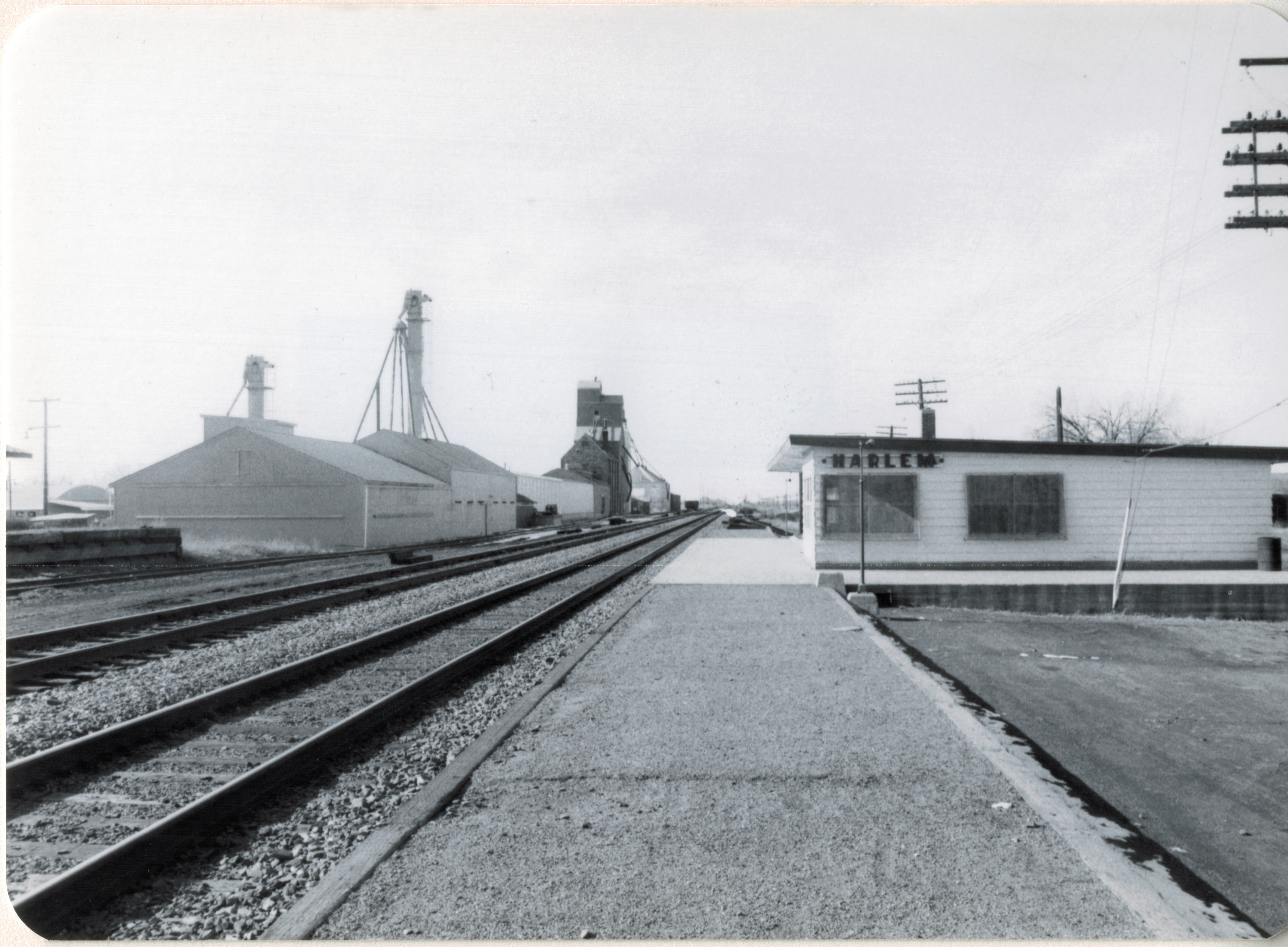
Whenever travelers or residents for that matter talk about Hi-Line towns, Havre, Shelby, Glasgow, Wolf Point always enter the conversation. Some places, inexplicably to my mind, never do: Harlem is a case in point.

Image

A gateway to the Fort Belknap Reservation, Harlem is one of the early Great Northern Railway towns, dating to 1889, and was established to serve as a commercial center on the northern border of the reservation.When the homesteading boom swept through the Hi-Line during the early 20th century, Harlem quickly expanded and most of the historic buildings found there today date between 1910 and 1940.

Image


What struck me powerfully when I visited in 2013, compared to my last visit in 1984, was dual themes of growth and decline. The Aaniiih Nadoka College, established in 1884, had left its initial spartan quarters on the edge of the reservation into new modern-styled buildings, that still reflected the spirit of earlier vernacular styled buildings.

Image Image

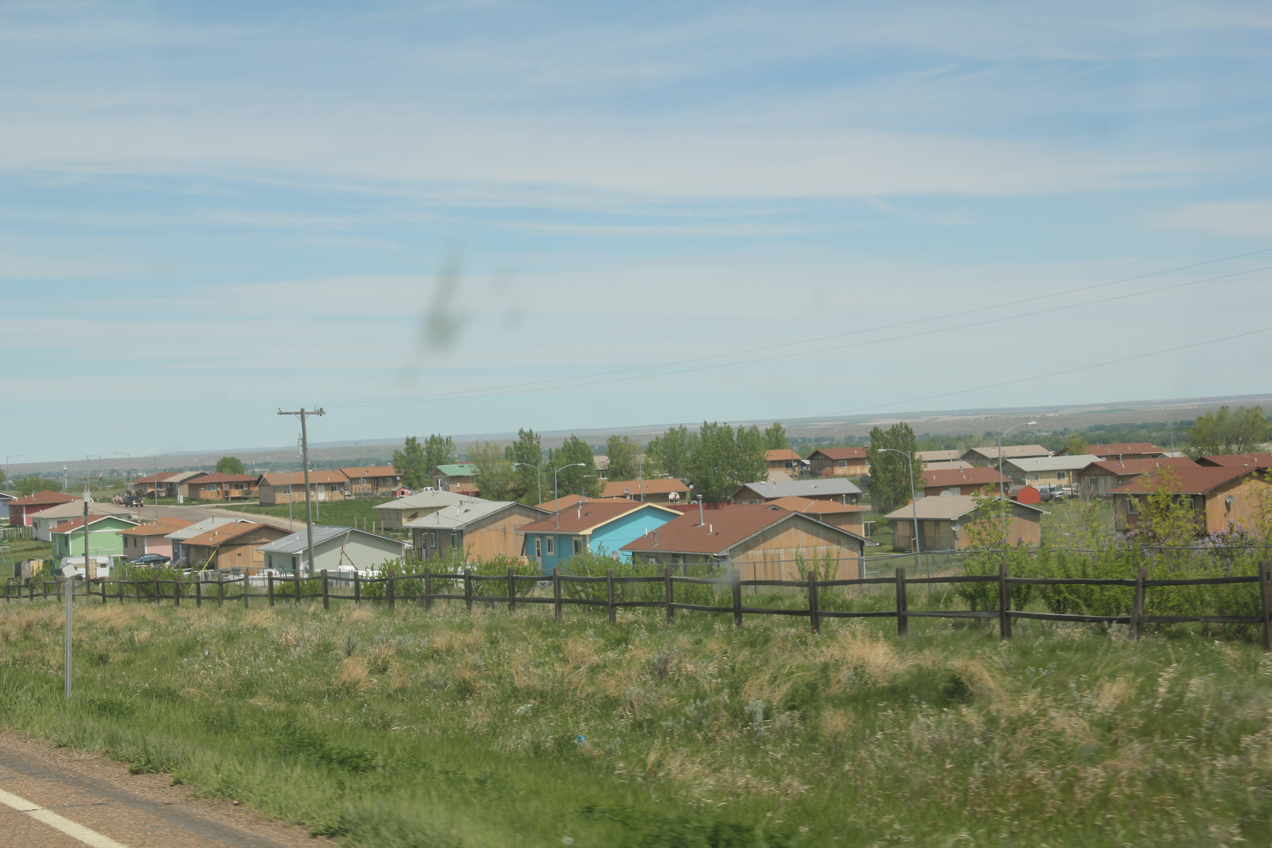
The 30-year growth of the college certainly underscored new opportunities as the flashy facade of the Ft Belknap Casino, facing U.S. Highway 2, showed a new revenue source. Standardized designs for federal housing also indicated the growth of a large neighborhood just south of the U.S. 2 and Montana 66 junction.

Image Image


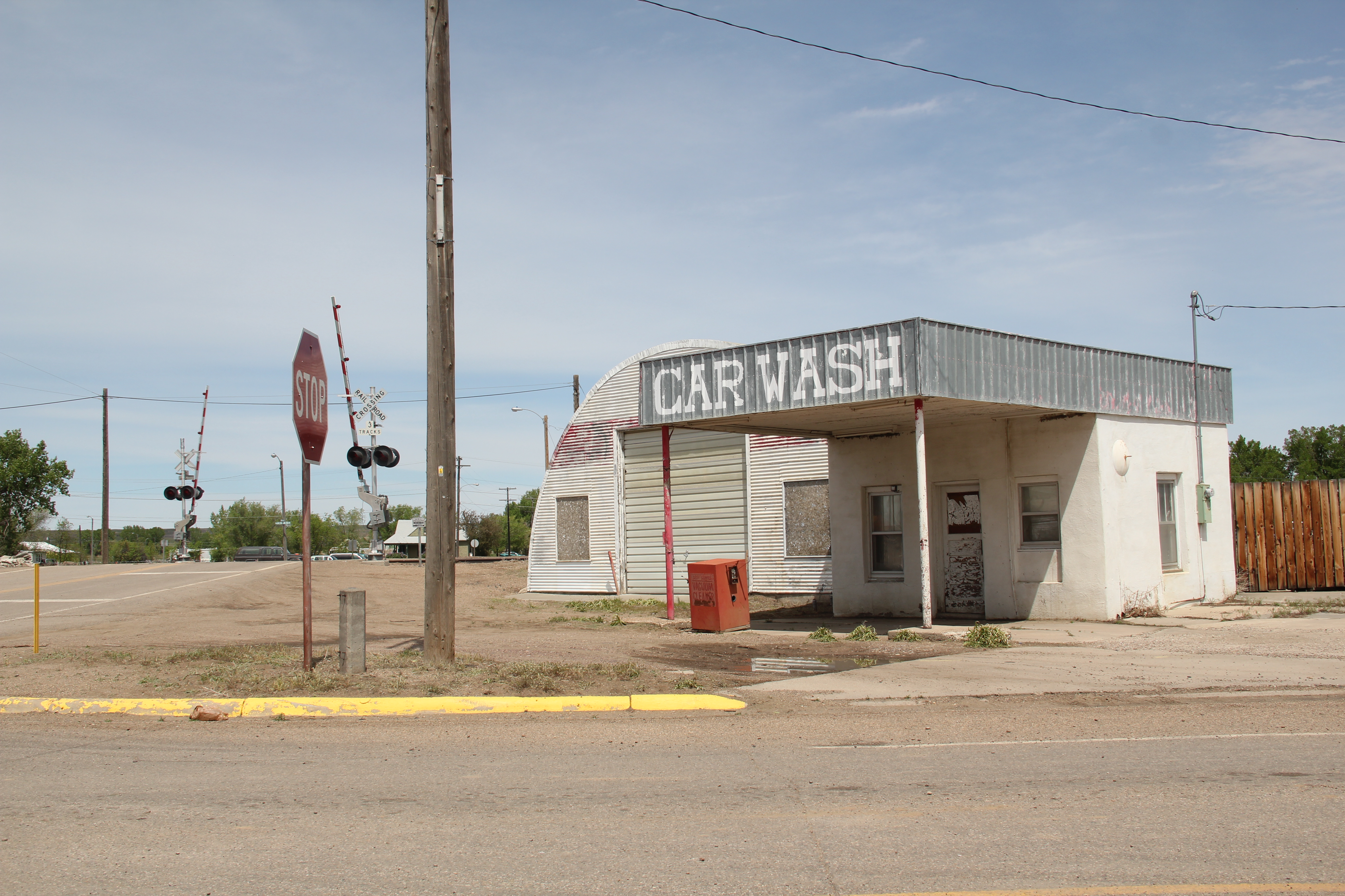
The theme of decline, however, marked the historic business district of Harlem. When I visited in 1984, Harlem had over 1000 residents–now that number is close to 800. Classic roadside gas stations, even at prominent corners, had closed.

Image Image

The Art Deco-ish Brekke Block (1941) only had a few going businesses; the early 20th century commercial block at Central and Main streets had even fewer signs of life. The Grand Theatre no longer showed movies. The imposing classical facade of the old state bank had broken windows and decaying architectural details.  These historic buildings retain their potential to impress, and could be heritage assets in multiple ways.  They need attention before it is too late.

Image  Image

While life and commerce enlivened the railroad and highway corridor, the downtown had a shuttered, tired look. But pride was there too. The Harlem Centennial Park, established in 1987, featured an memorial to the thirteen airmen who lost their lives when Air Force cargo planes collided north of town in 1992. The dedication and commitment to raise the funds and build such an appropriate monument impresses–and for travelers like me, I had no idea that this terrible air accident took place, and was glad that Harlem understood its obligation to the airmen and to history to record the event, permanently, with the memorial.  It was one of several surprises I encountered during my visit to Blaine County in 2013.

Image

Back on the Hi-Line at Chinook: a town that got it

Image

Chinook, the seat of Blaine County, has long been among my favorite Hi-Line towns.  Certainly there is the Elk Bar, with its cowgirl in the champagne glass neon sign,–is there a better bar sign in the Big Sky Country?  But then Chinook is most definitely a railroad town of Great Northern vintage.  Then it is part of U.S. highway corridor, and I loved staying at what was then a Mom and Pop Bear’s Paw motor lodge on the west side of town in 1984.  And it is irrigation country, and the impact of the federal Milk River Project in the early 20th century.  Railroads, highways, irrigation, bars–throw in that the town is also the gateway to the Bear’s Paw National Battlefield and the end of the Nez Perce National Historic Trail:  little wonder I stayed there for 3 days in 1984 exploring a wide swath of the region.

Image

This post is subtitled “a town that got it” for the simple reason that when I visited in 1984, outside of the battlefield (which was little more than preserved ground with a few early 20th century markers not the more fully interpreted landscape you find today) and the local museum (which was since grown considerably) the words “historic preservation” were new, and somewhat foreign.  Nothing was happening–30 years later however you can see a range of preservation work, along with some exciting adaptive reuse projects.  Chinook treasures its past and sees it as an asset for the present, and future.

Image

A U.S. 2 service station converted into a great ice cream stop in Chinook

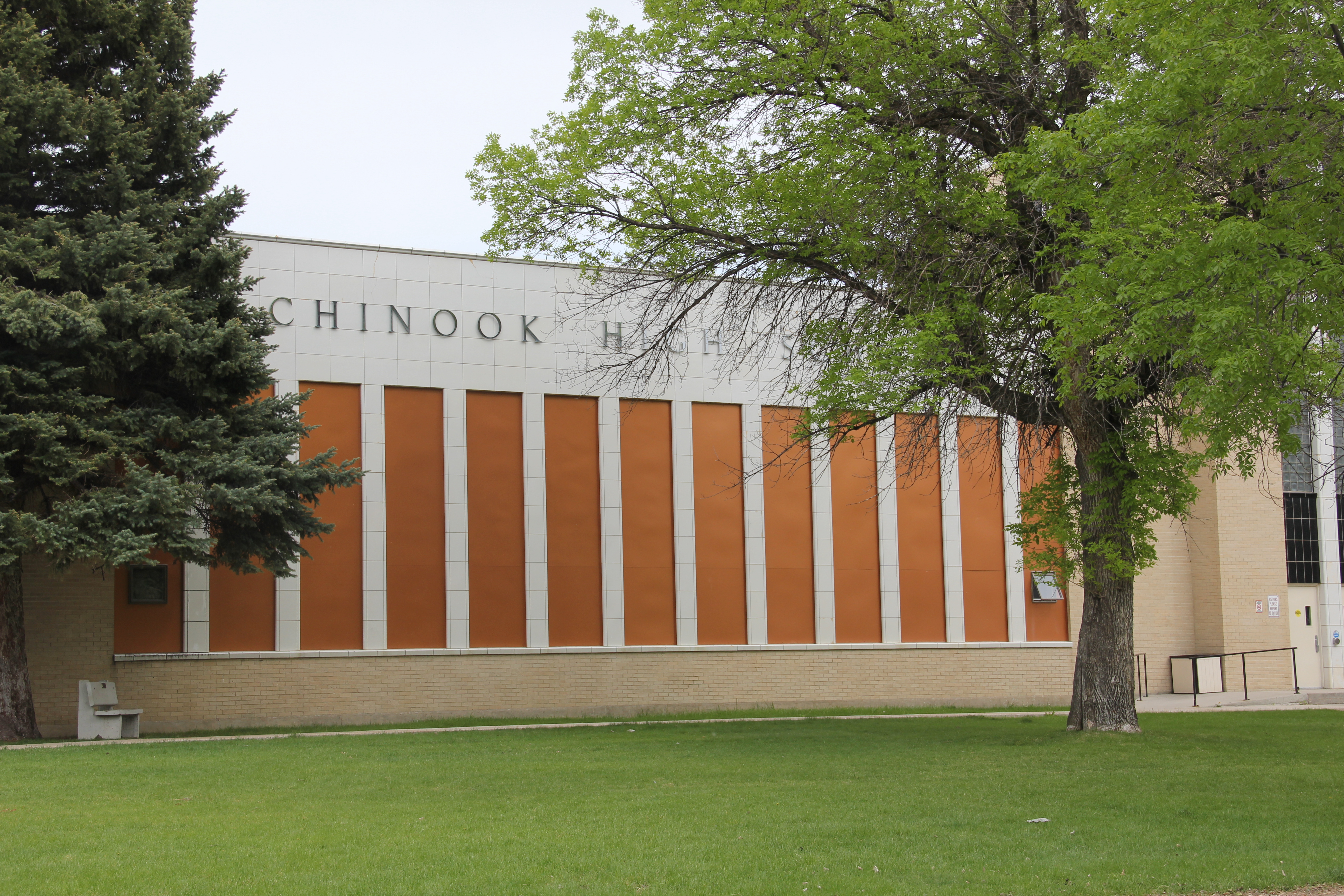
What didn’t I “see” in 1984:  the New Deal imprint on the town.  Frankly put, the Chinook High School is one of my favorite New Deal buildings in the state–perhaps its slick International modernism made it hard to grasp 30 years ago but today its powerful statement of 1930s aesthetics can’t be missed.

Image Image

Image

That’s not all the New Deal left the town–it also energized public buildings with a new City Hall and an annex to the county courthouse, both somewhat subdued architectural statements.

Image Image

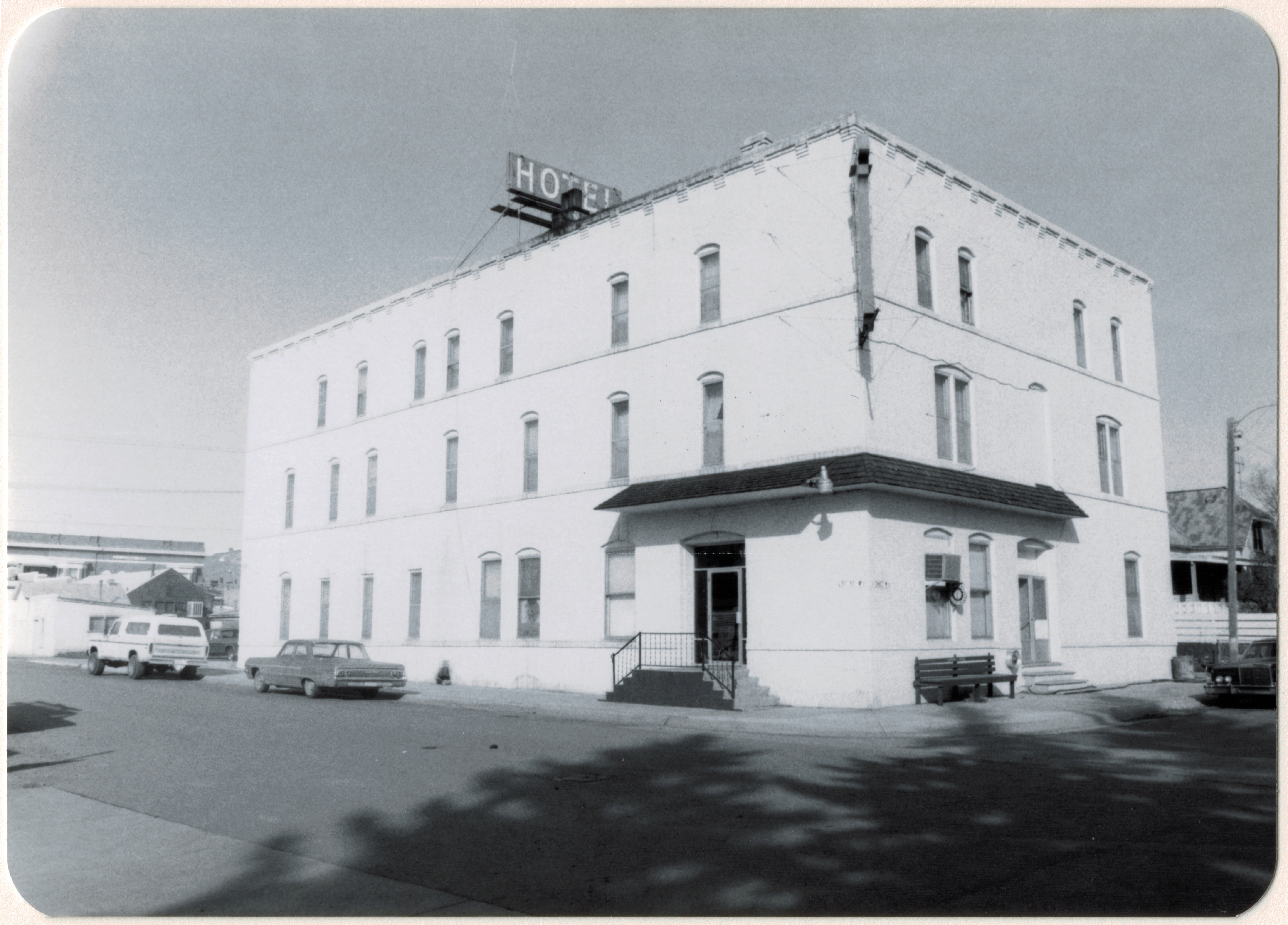
I did a better job of understanding the transportation corridors and how they impacted Chinook.  Most prominent to my mind was a three-story brick hotel, serving both railroad passengers and newly arriving homesteaders.  In 1984 it looked as if only minor changes had occurred since first construction-it still looks that way 30 years later with a few more windows filled-in, and general hard times apparent.

Image


Image

The Great Northern depot was another focus of my work but somehow I missed a great 1920s gas station that has been restored and converted into new uses by a local financial institution–it is now on the National Register of Historic Places and good example of how the roadside architecture of the 1920s can find new uses in the 21st century.

Image Image

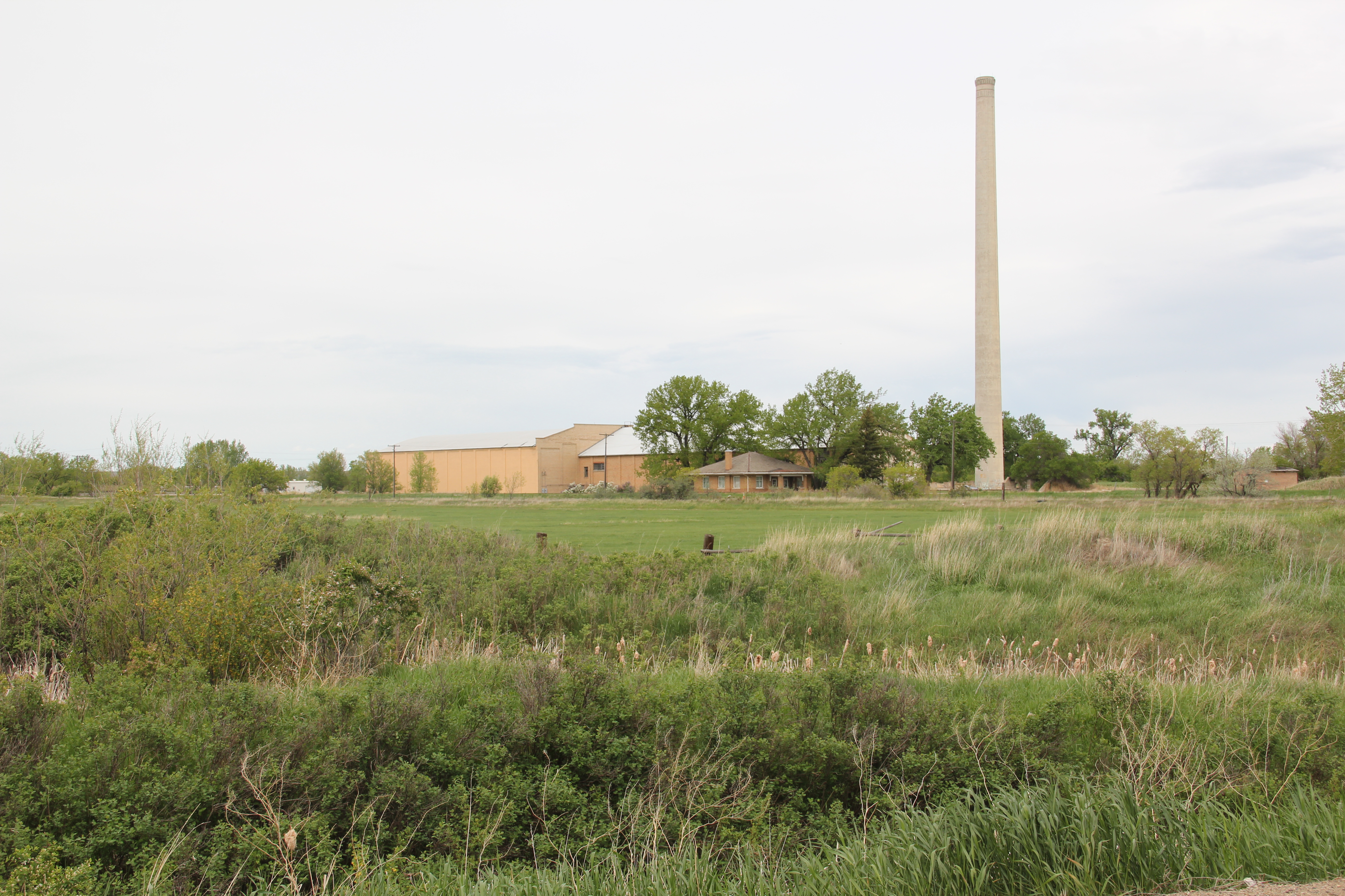
Another big miss was the Sugar Refinery–especially considering the role that Chinook played in the Milk River project, both in its origins, the nationally significant case of Winters v. United States at the turn of the century (see Beth LaDow’s epic study The Medicine Line (2001), and then the impact of this major federal project from 1911 to the present.  Not to mention that the high school nicknameImage

was the Sugarbeaters, surely one of the GREAT names in high school sports.

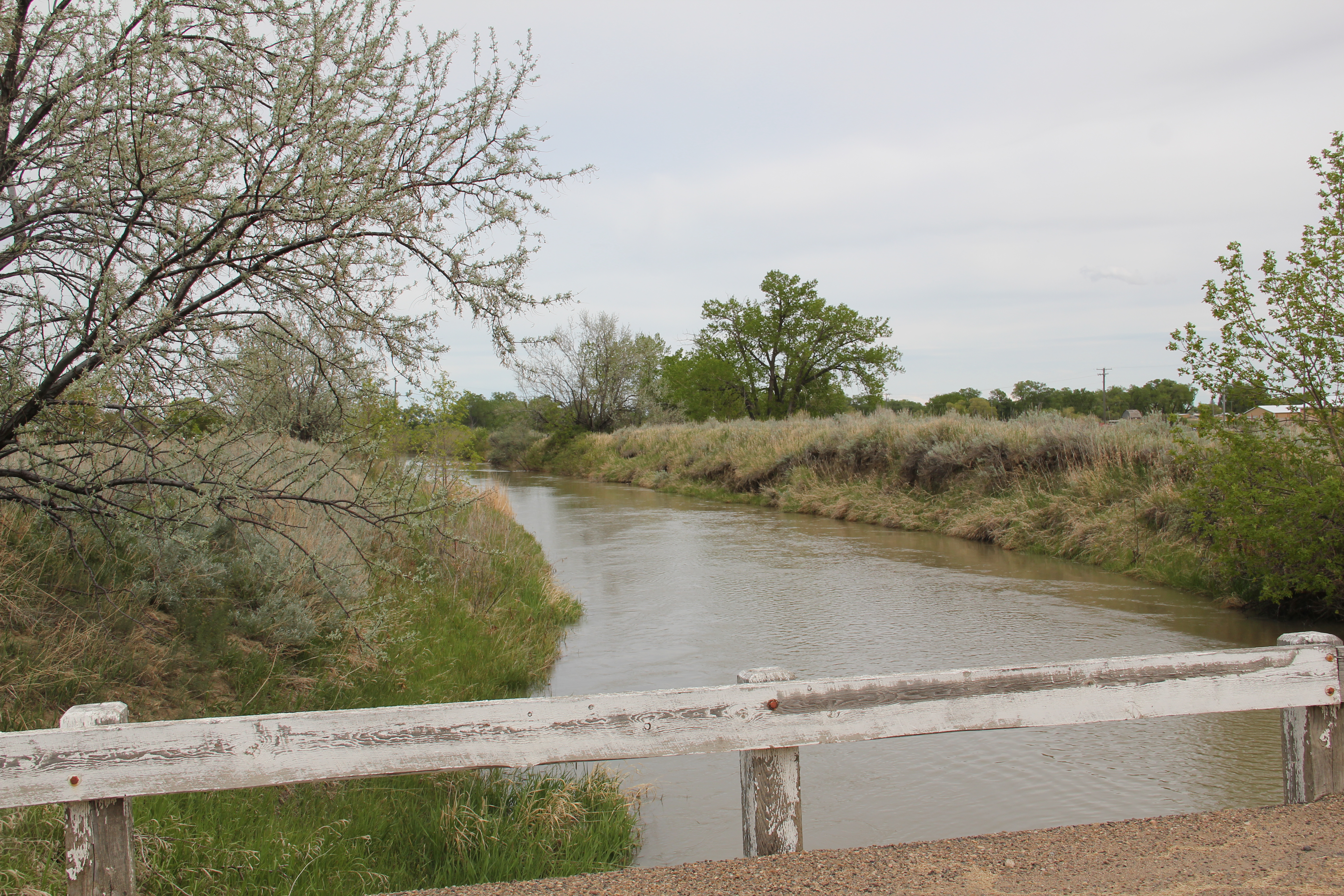
You cross a major ditch on the way to the refinery, on the outskirts of town.  A good bit of the property remains, with the tall stack speaking strongly to the merger of homestead and factory on the northern plains.  The refinery began an new era in the town’s history–a theme worth exploring in the next post.
IMG_8358