In 2013 I last visited Sleeping Rock Hot Springs, just north of U.S. Highway 2 in Phillips County. The following year I posted about the obvious changes then underway to put this once vibrant mid-20th century recreational area back to greater prominence.
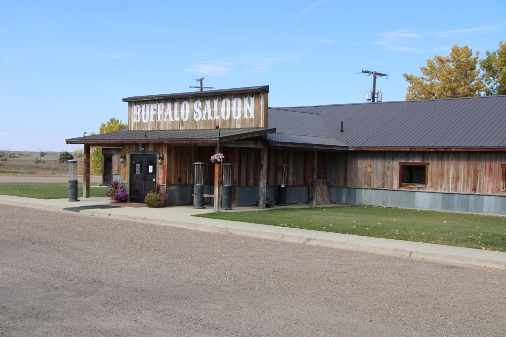
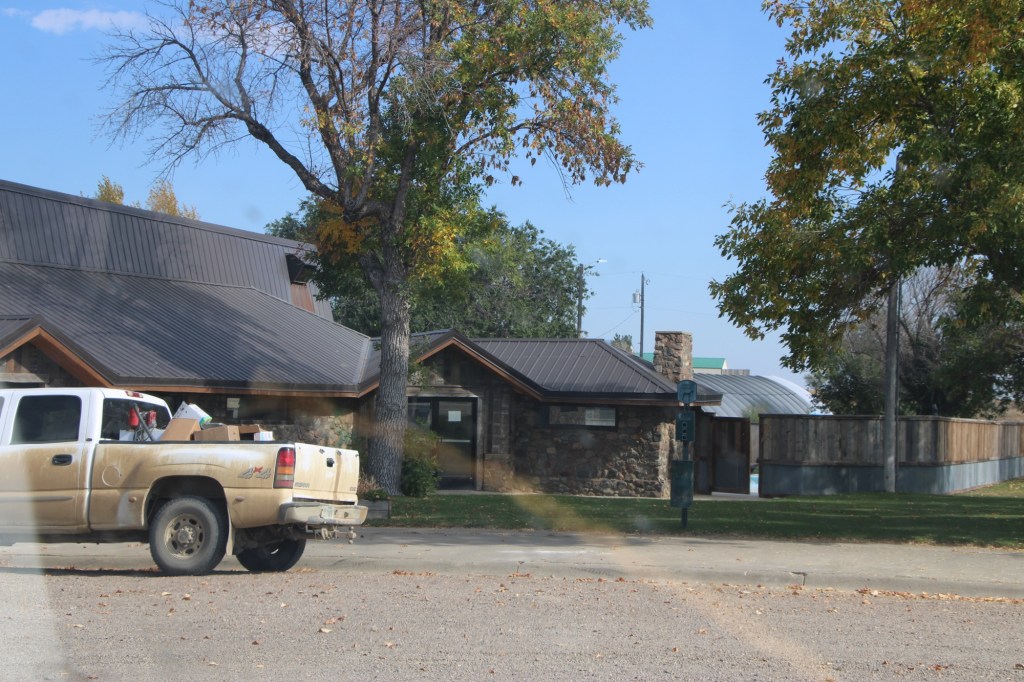
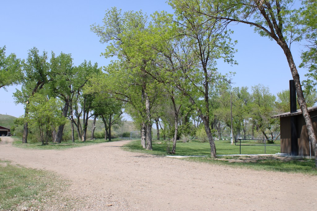
I returned in late September 2025 to find that, indeed, lots of improvements were made in the last ten years. A large bar/restaurant had been built, the grounds expanded and modernized, and the pool greatly enlarged.

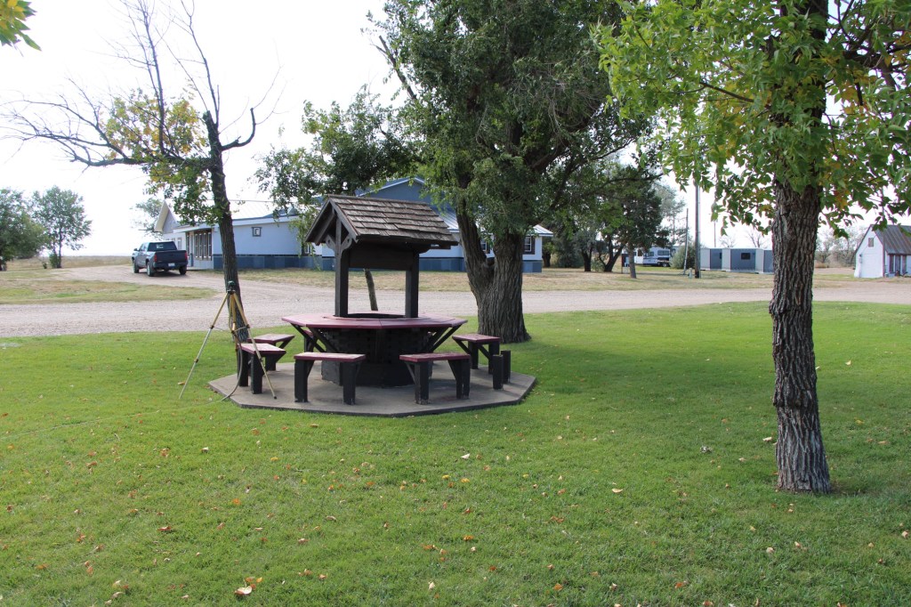
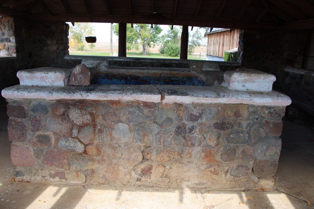
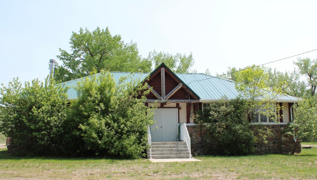
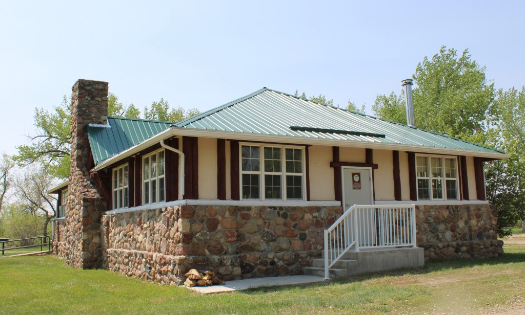
But the hot springs’ New Deal roots were still apparent because attached to the pool facility was the pergola of the early 1930s.
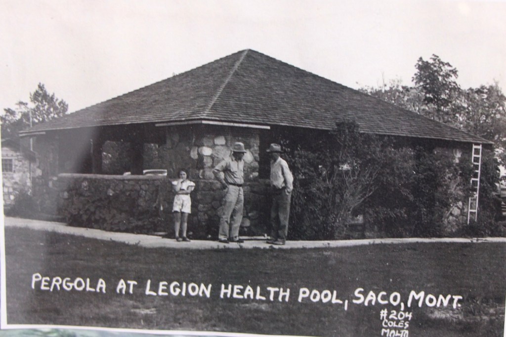

This hipped roof stone structure came about due to the joint efforts of local residents and government officials. An exhibit at the Phillips County Museum in Malta (more on that place later) points out that a rancher Elbert Davison first saw the mineral springs as having medicinal qualities. He built a small pool that brought relief to his son who had polio. That effort convinced the Saco American Legion to do more and soon a local effort to gain control of the spot for public use met its success in 1931. Later that year the American Legion Hot Springs was in operation, quite a feat in Depression-era northeast Montana.

That effort caught the attention of county agent H.L. Lantz to work with the New Deal’s Resettlement Administration, then active in the Milk River Project area, to get the Public Works Administration to fund the pergola. That story is told in the marker (above) still at the pergola today.


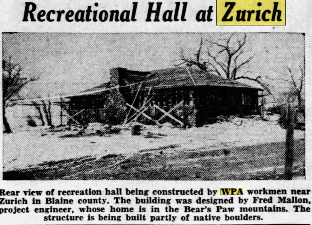
Bruno Partzsch was the stone mason for the buildings, and some of his work is still visible in the expanded and modernized pool building of today (2025). I wonder if Partzsch is also the crafter behind the stone building at Zurich Park in Blaine County since both places have ties with the Milk River Project.
Sleeping Buffalo Hot Springs is on the market in the fall of 2025. Business is tough—actually way beyond tough—in this part of Montana’s Hi-Line. I only hope that new owners who can keep the momentum going can be found and this jewel of a historic place—shaped by a partnership between locals and government—will survive well beyond its 100th anniversary in 2031.


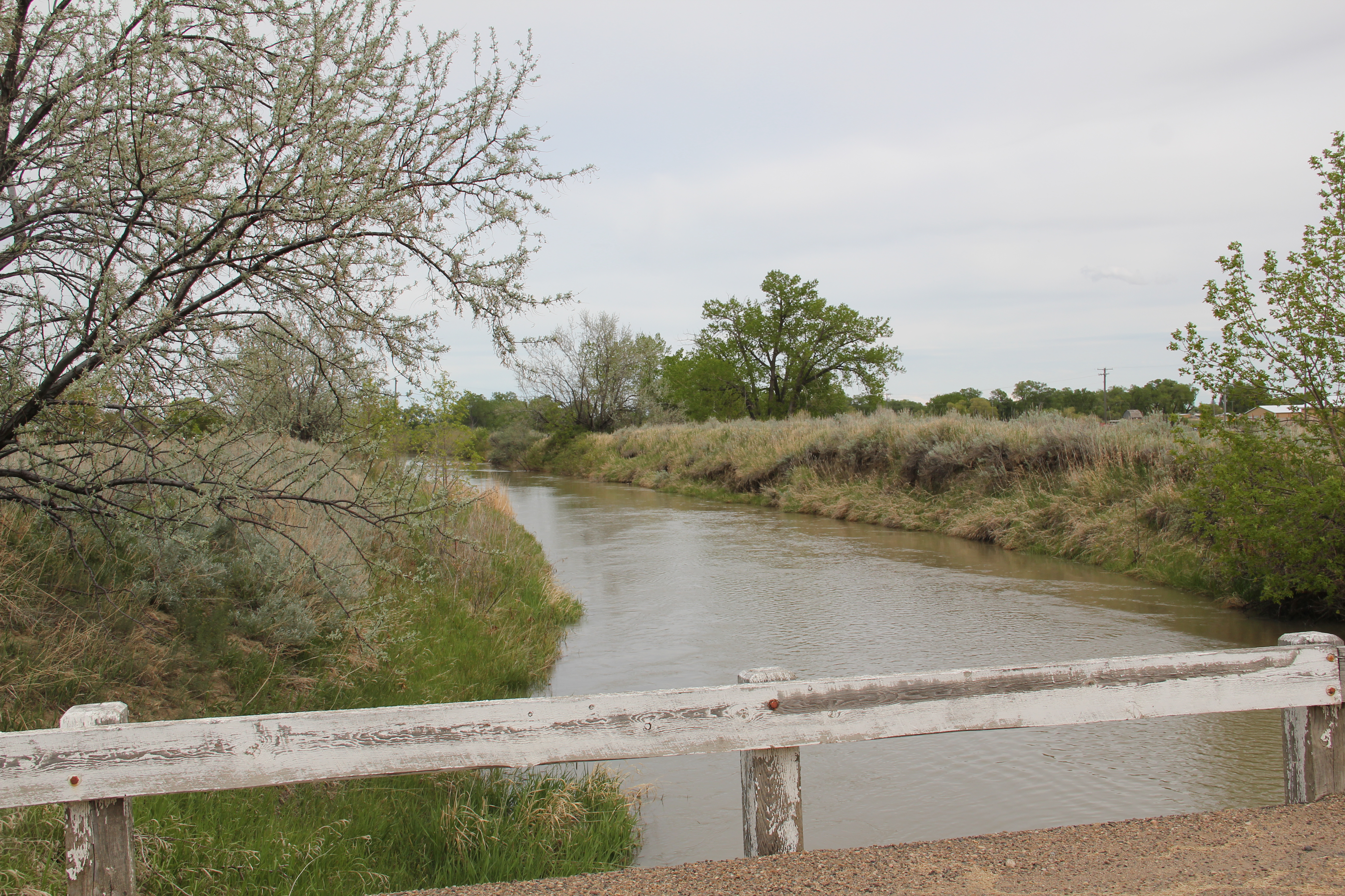
 One of the very few historical markers in Montana that touches on the state’s irrigation history focuses about a historic bridge that once stood nearby at Tampico.
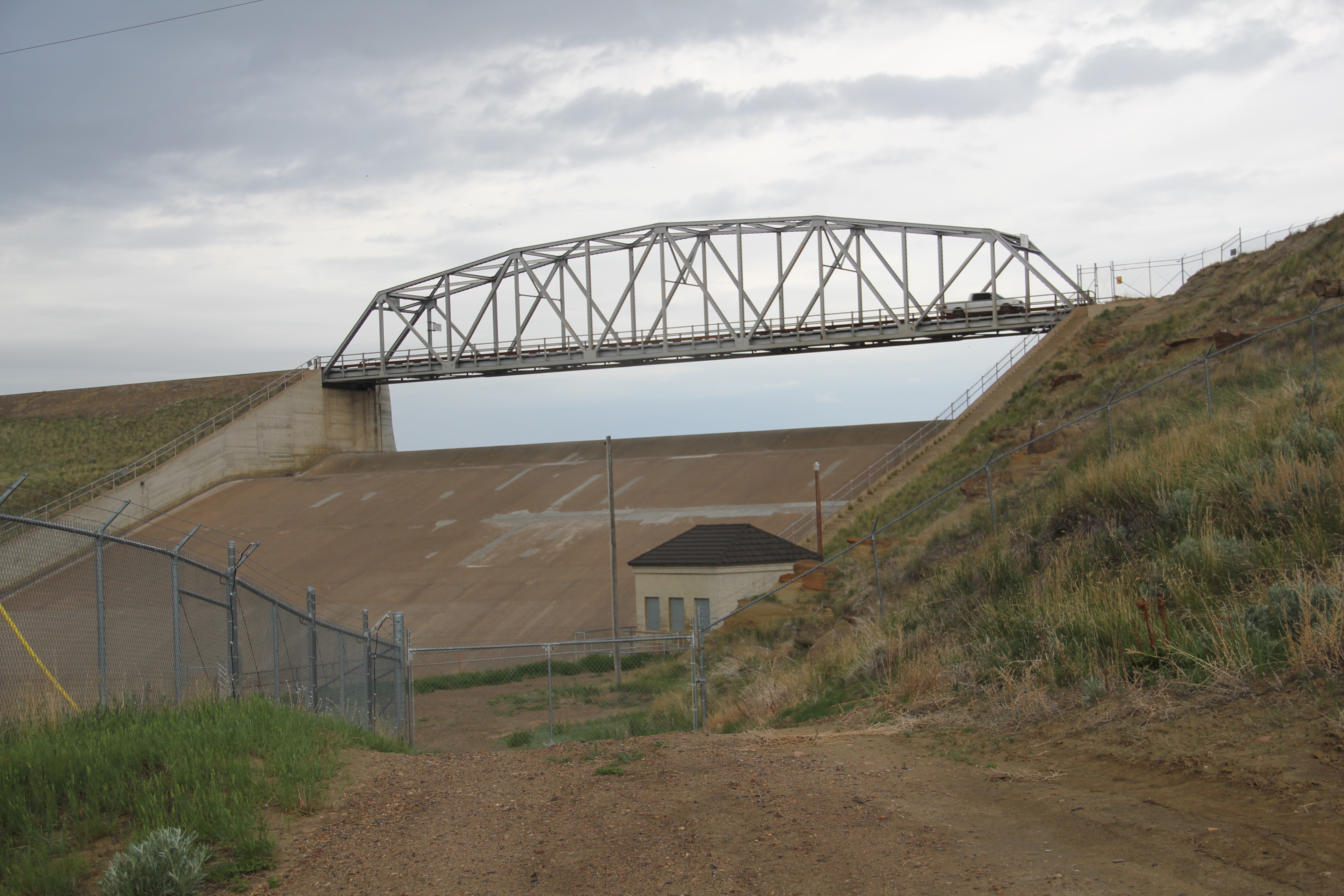
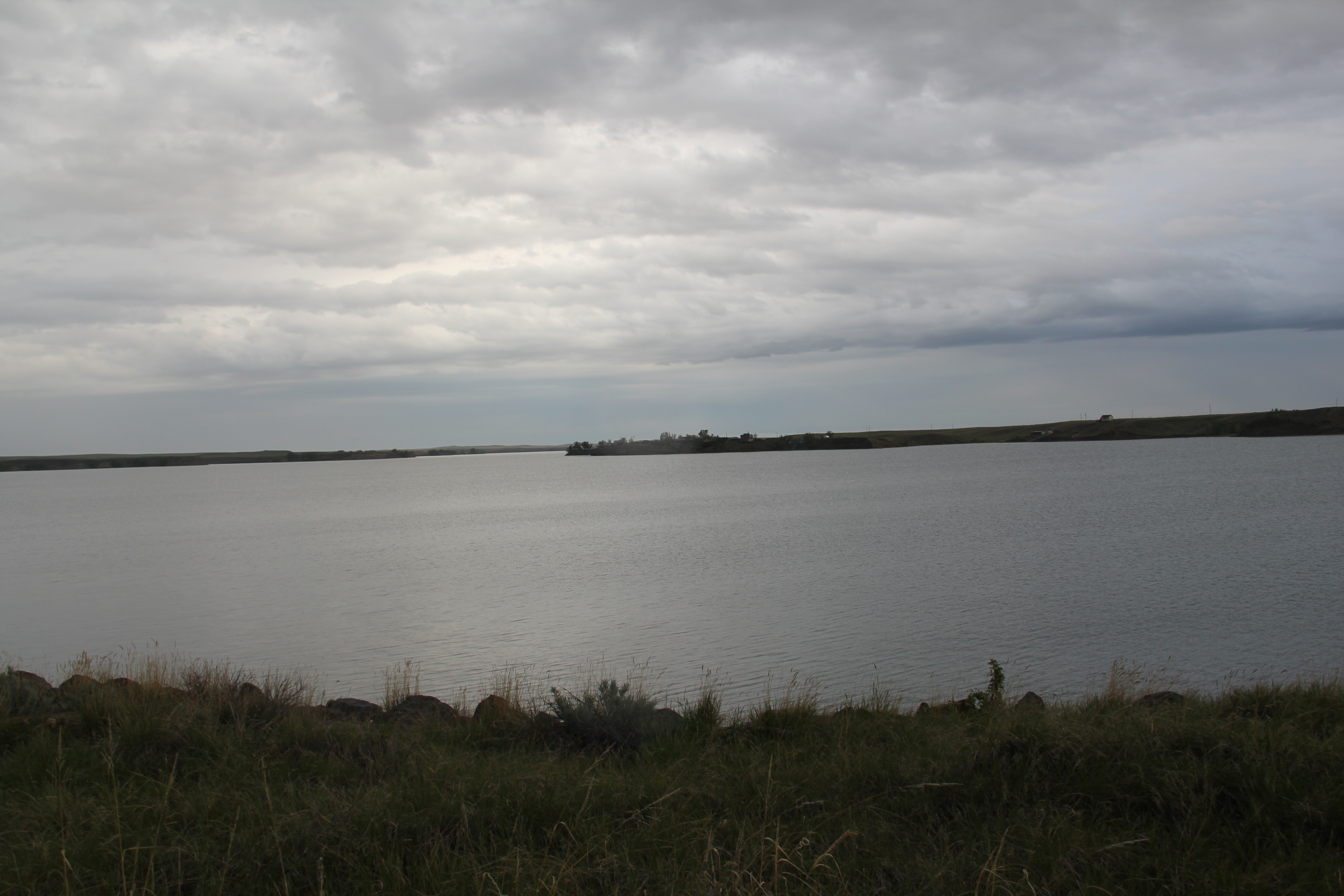
 Large man-made lakes capture water to reserve it for use throughout the growing season. The images above are of Fresno Reservoir, on a rainy morning, in Hill County. While the two images below are of Nelson Reservoir, on a typically bright sunny day, many miles downstream in Phillips County.
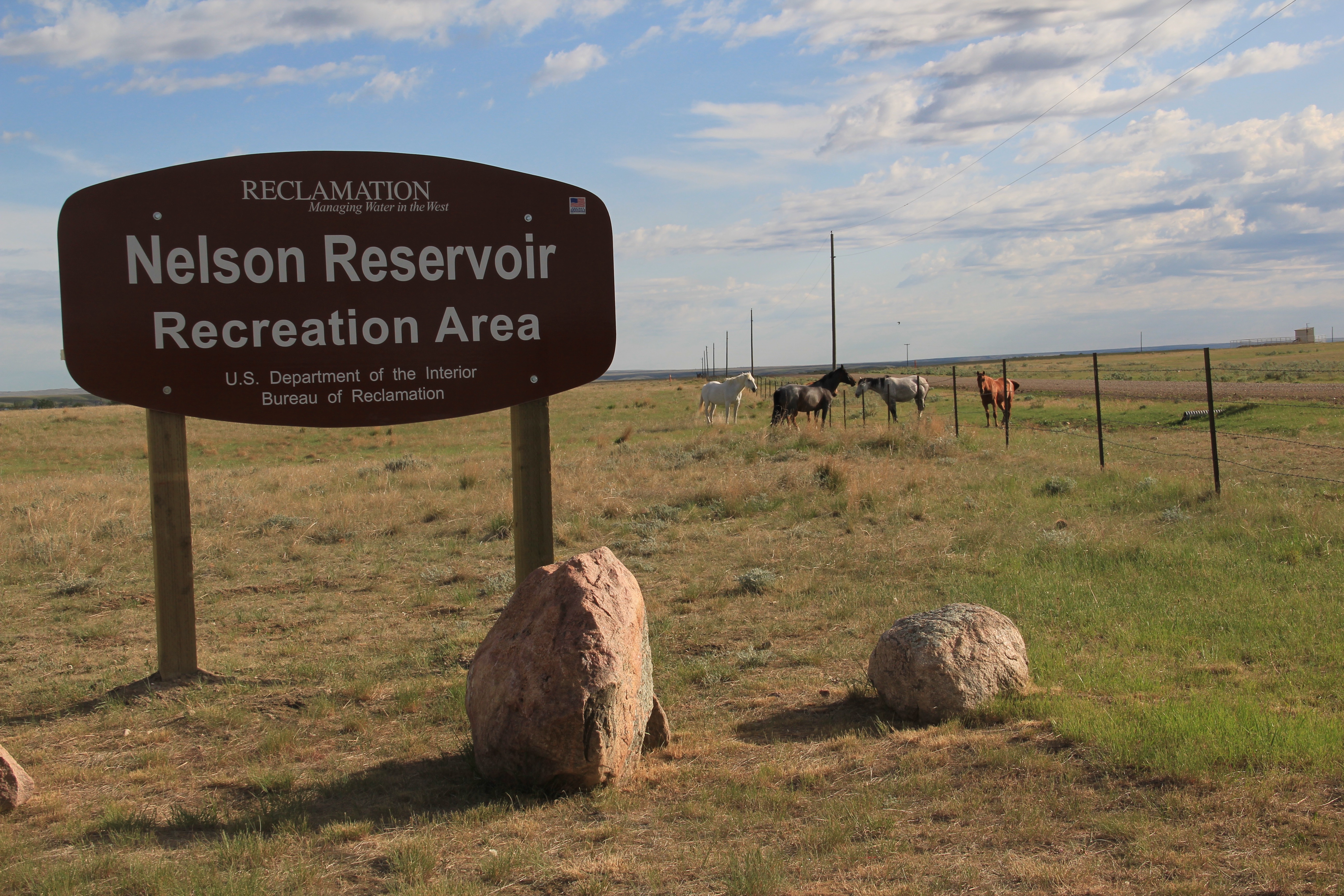
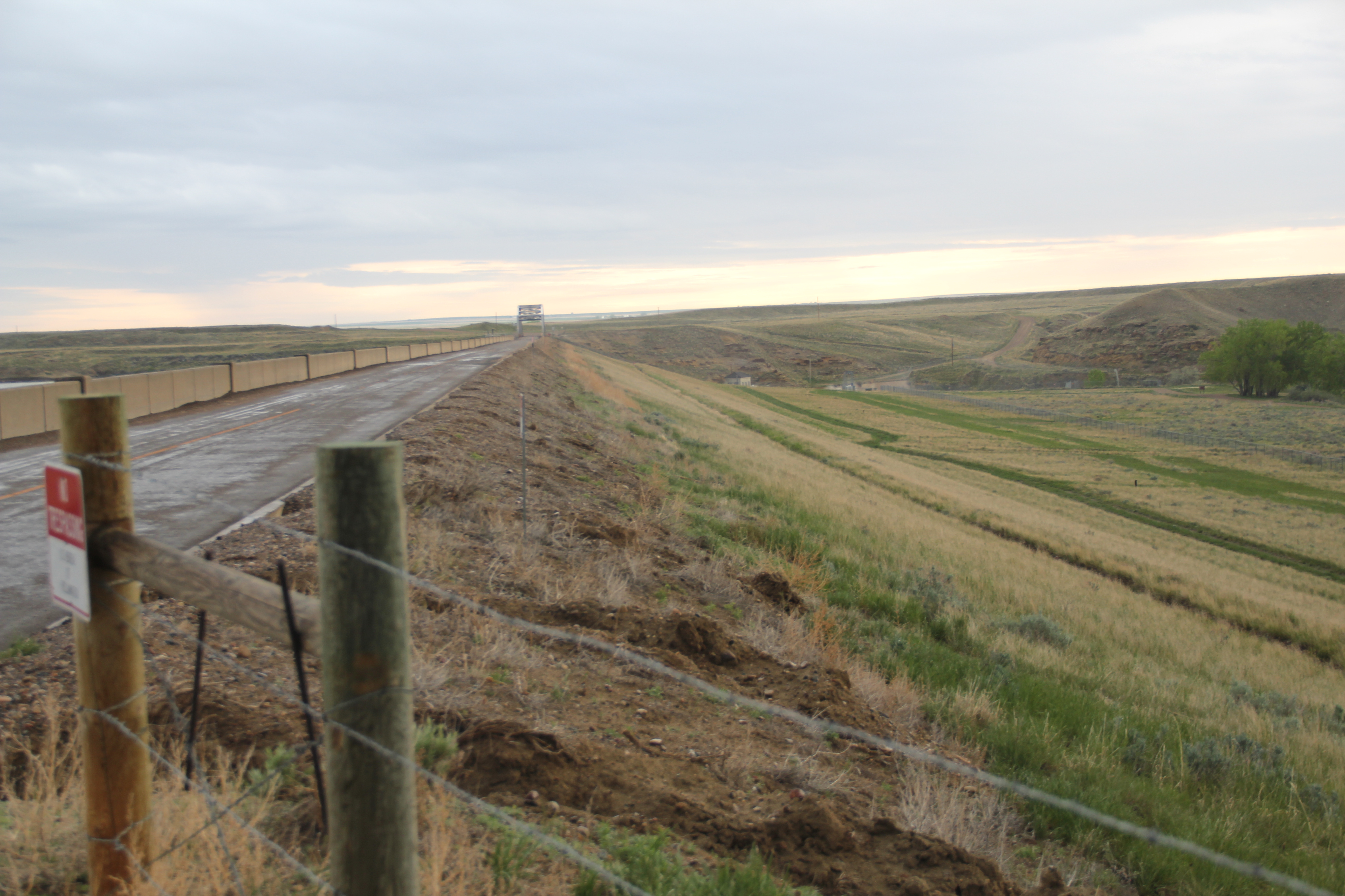
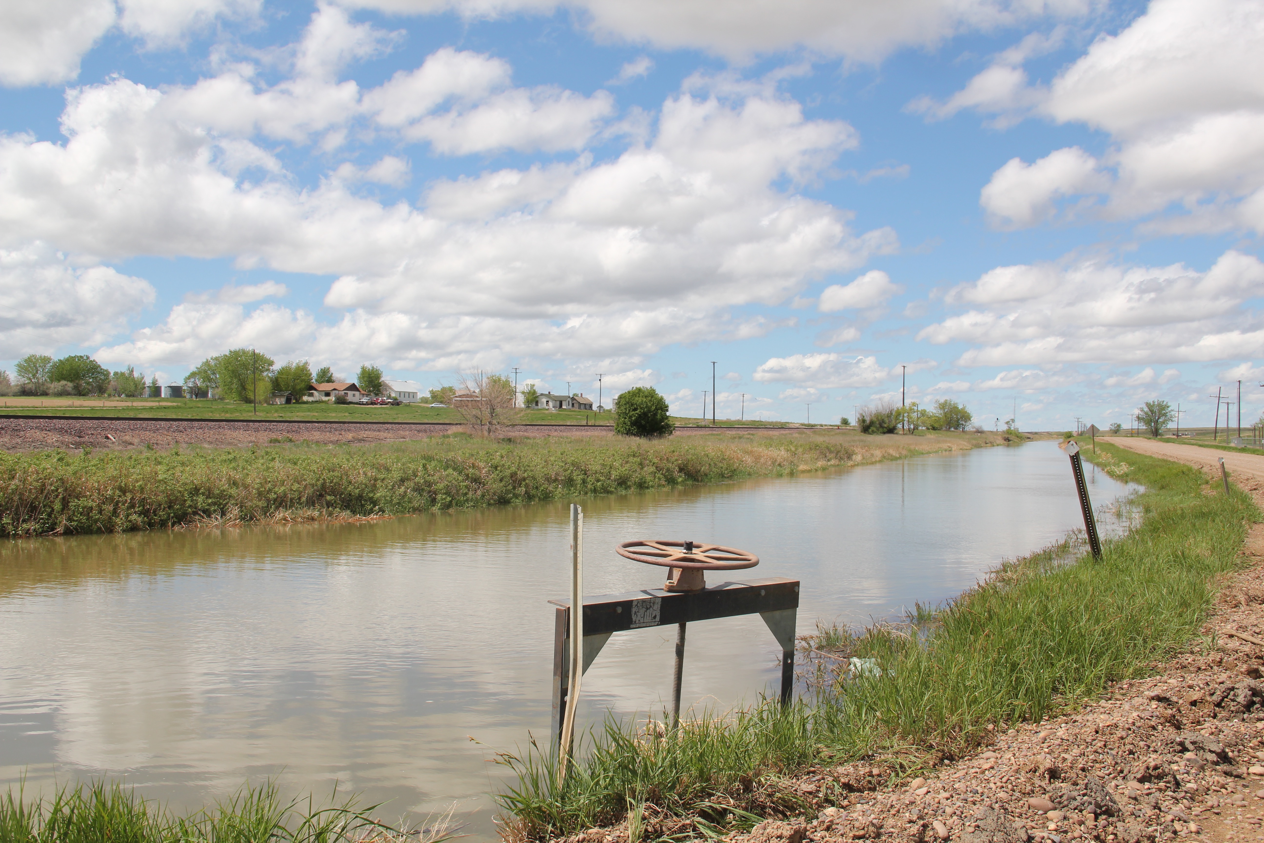
 The Milk River Project shapes so much of the Hi-Line, it has become just part of the scenery. I wonder how many travelers along U.S. Highway 2 in Phillips County even notice or consider the constant presence of the ditch along their route.

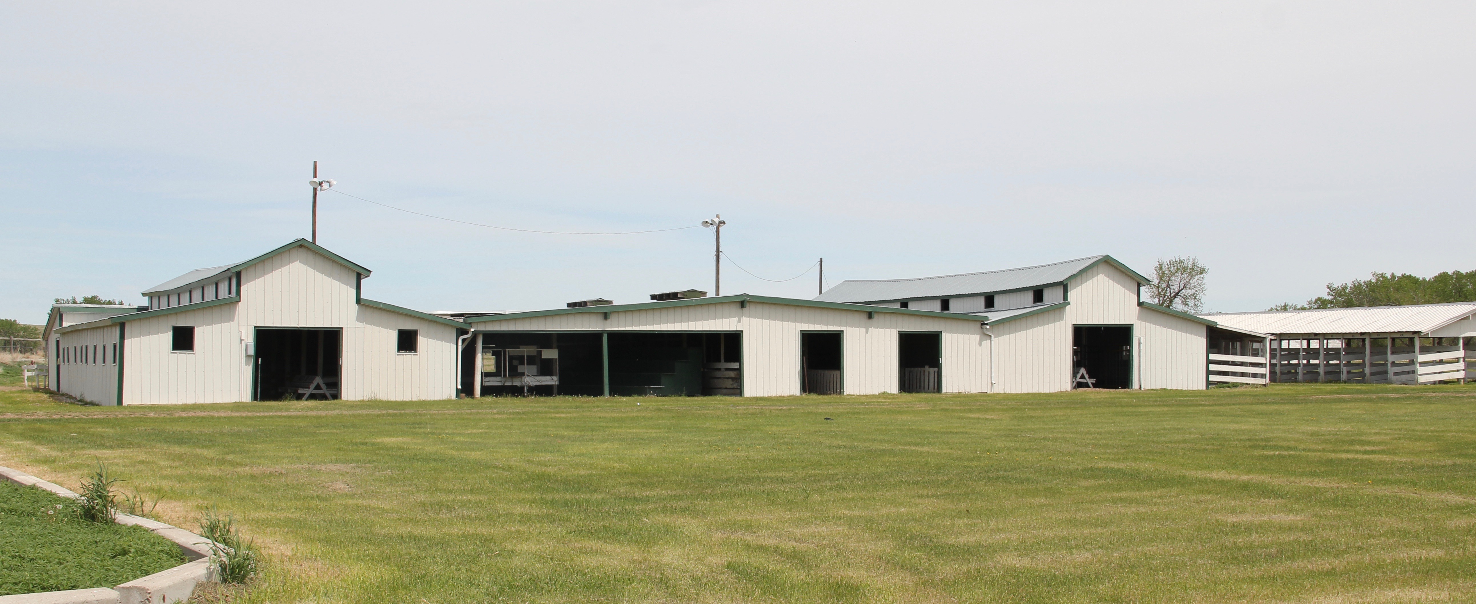 is a tiny place, almost 20 miles from the county seat of Malta. But at the time of the Milk River Project, Dodson was vital; the ditch neatly divided the town into two halves, and a major diversion dam was just west of town. Here was a perfect place, at the turn of the century, for a fairgrounds. And it is a gorgeous historic fairgrounds.


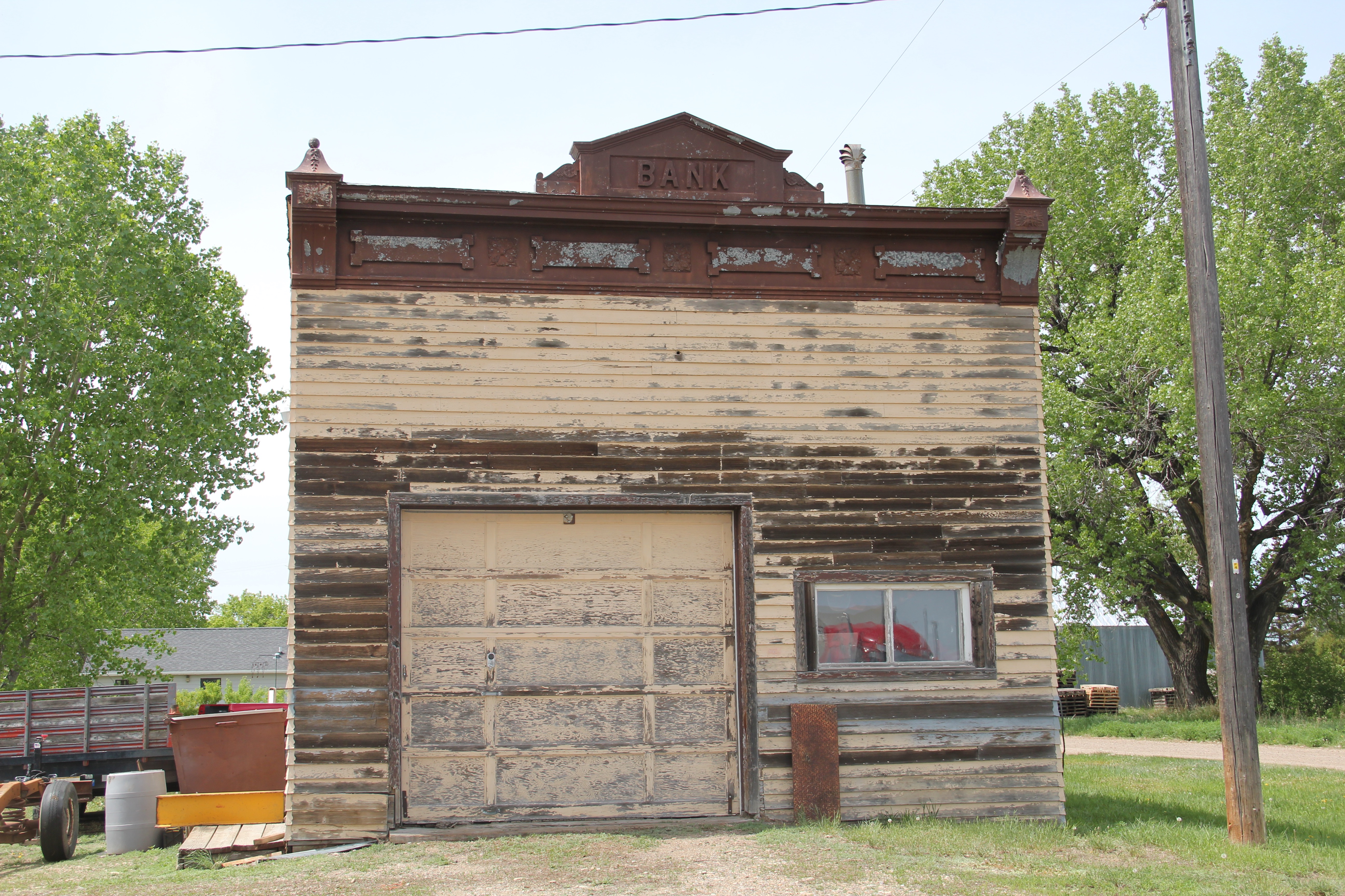
 Lehman, west of Chinook adjacent to both the Milk River and U.S. Highway 2, has almost totally disappeared as a place along the tracks. What is left of the town–this deteriorating commercial building in 2013–might even be gone today.