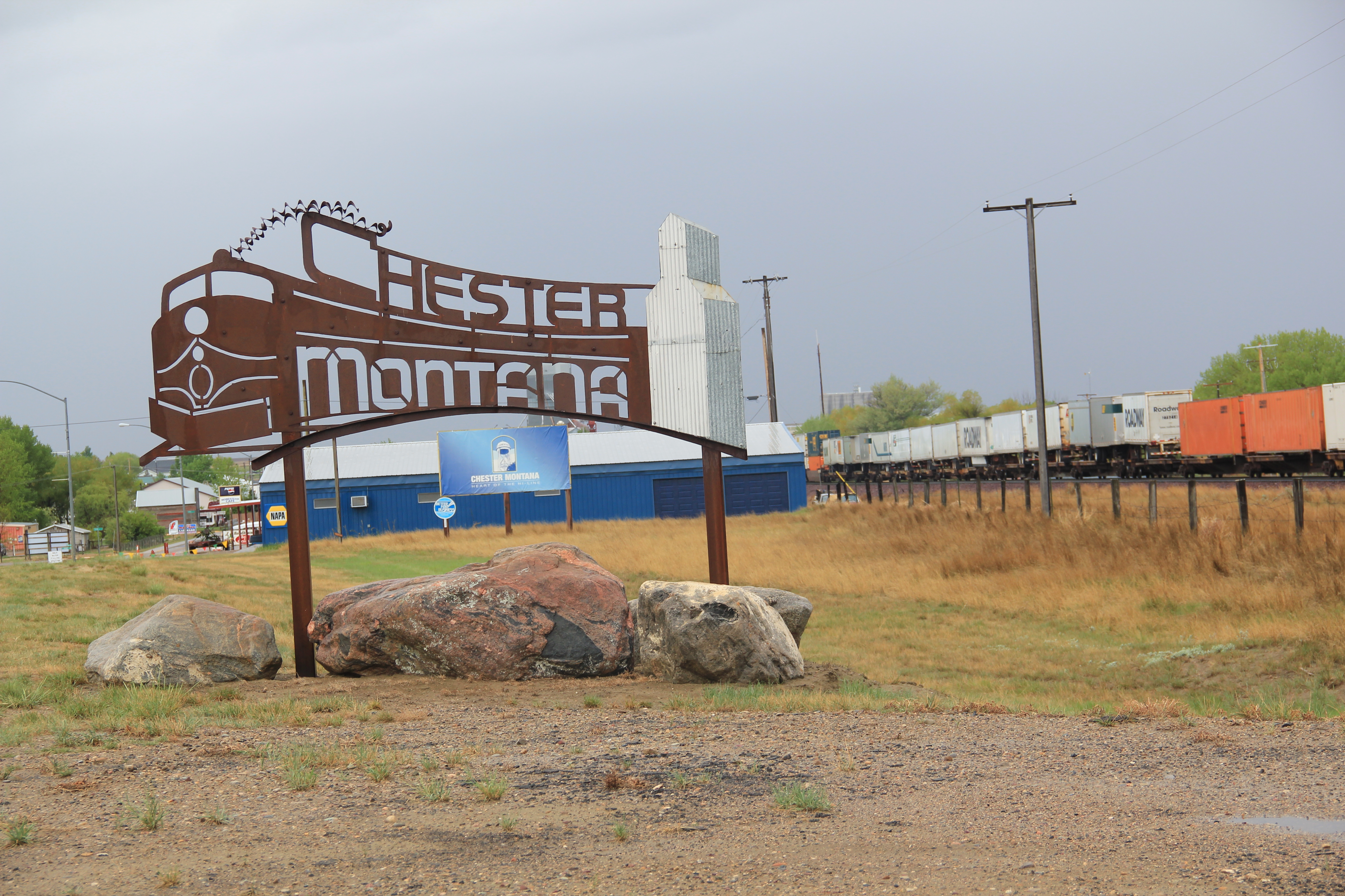
In 2024 I began to see media accounts, both regionally and nationally, of how Glasgow, the seat of Valley County, was the most isolated place you can imagine, truly in the Middle of nowhere.

I’m not one to argue with geographers and economists. I’m sure from their perspective, they got it right. But I never thought of Glasgow as isolated: it is on the Great Northern mainline, and part of the famed Empire Builder Amtrak route, and on U.S. Highway 2.

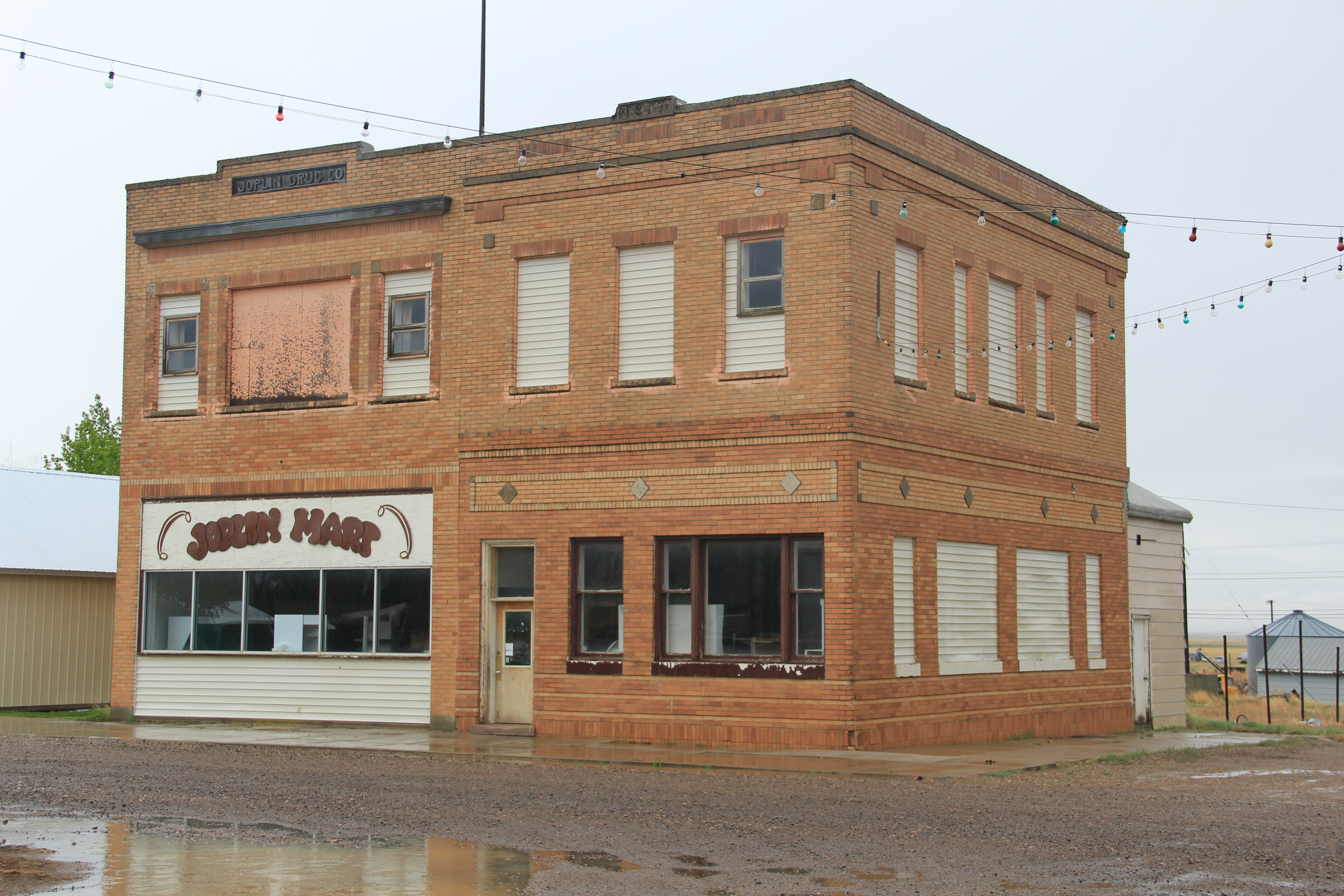
Then the town has always shown a great deal of pride and ambition, conveyed so effectively by its many historic buildings, starting with the First National Bank, built c. 1884 and listed in the National Register of Historic Places.
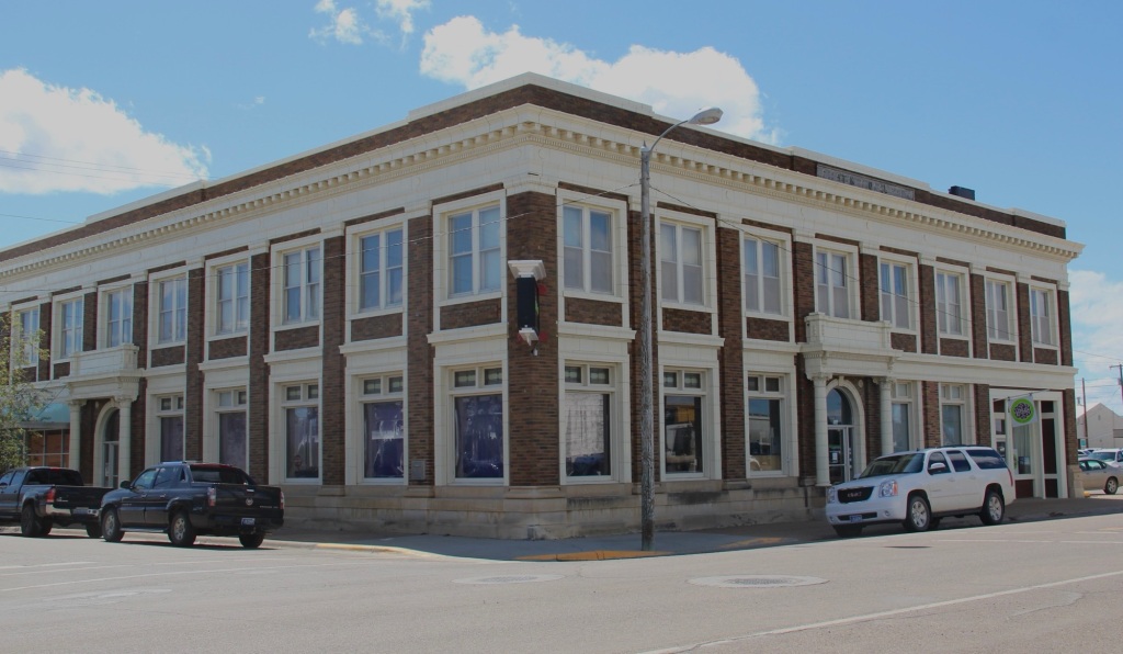
When you enter the town from the underpass of the railroad, the bank is the first landmark to catch your eye, appropriate too for the impact of local banks on a town’s economic prospects during the homesteading boom and bust of the 1910s and 1920s, respectively.
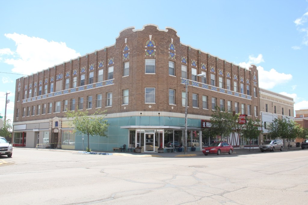
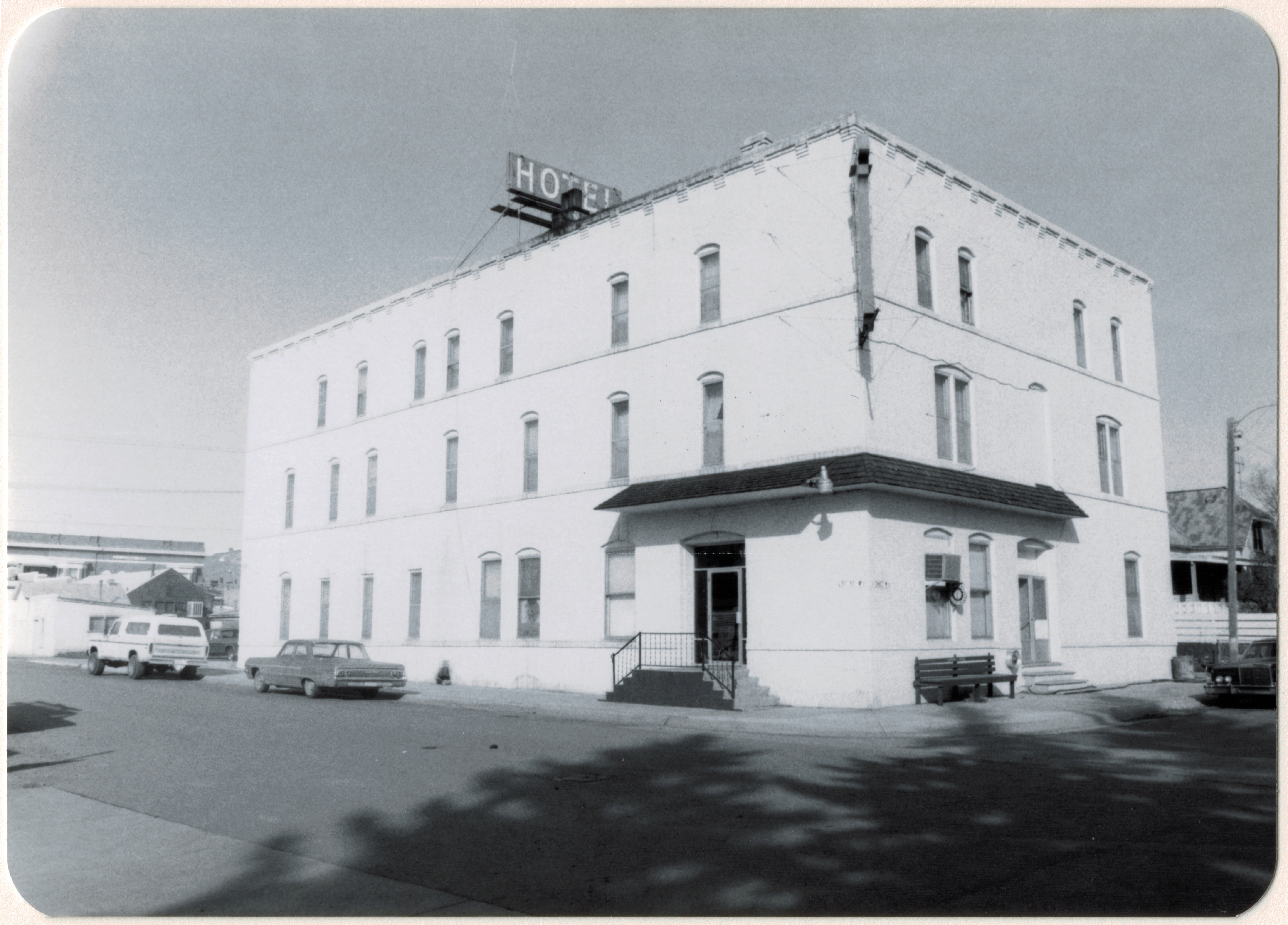
Another landmark from the homesteading era is the Rundle Building, once the Glasgow Hotel and restored in the last ten years as an upscale hotel in the heart of downtown. Built c. 1916 and designed by the important Billings firm of Link and Haire, the Rundle is a captivating statement of an Arts and Crafts-infused Mediterranean Revival style. I have been trying to get back to Glasgow to stay here for the last four years—maybe I will make it in 2025.

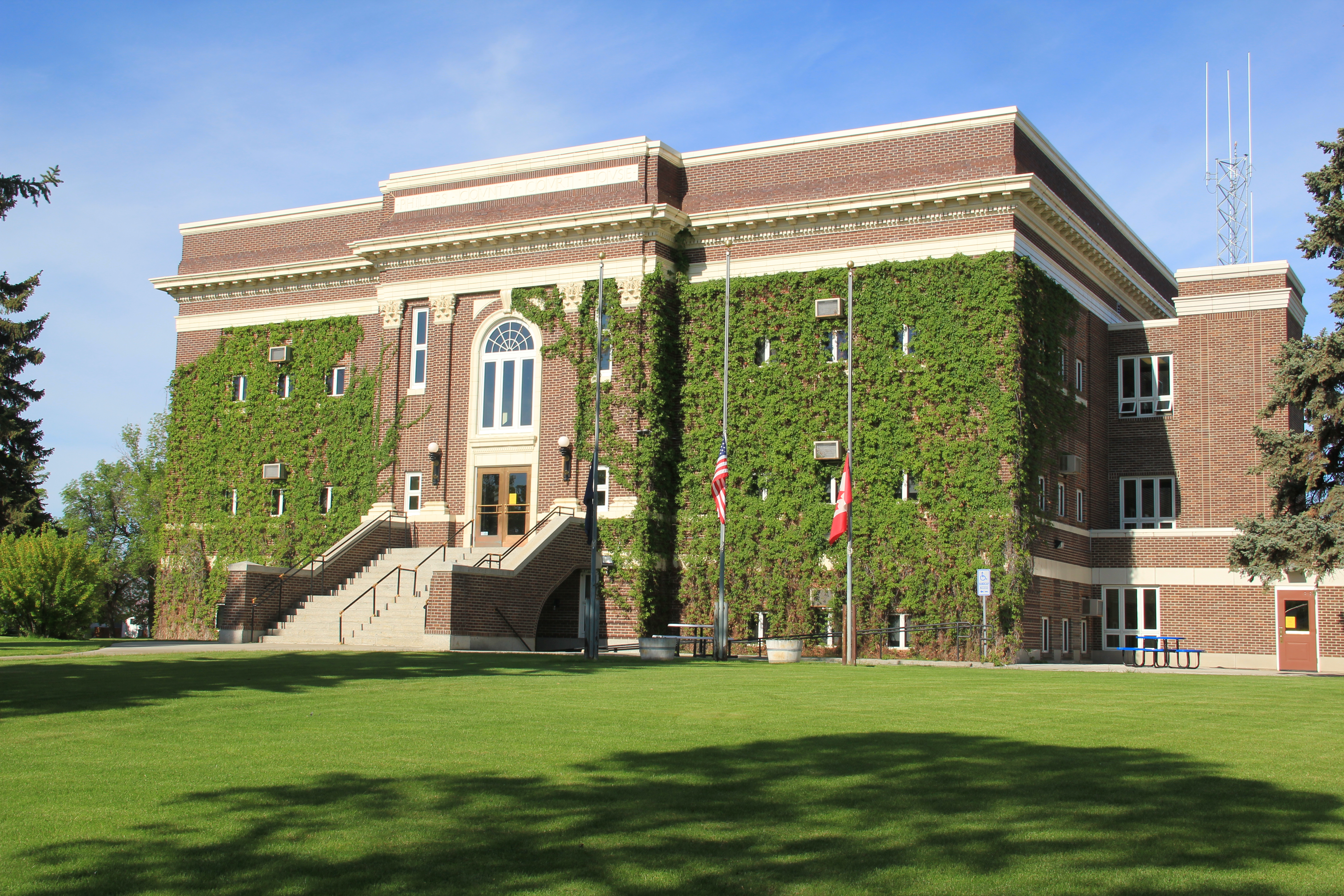
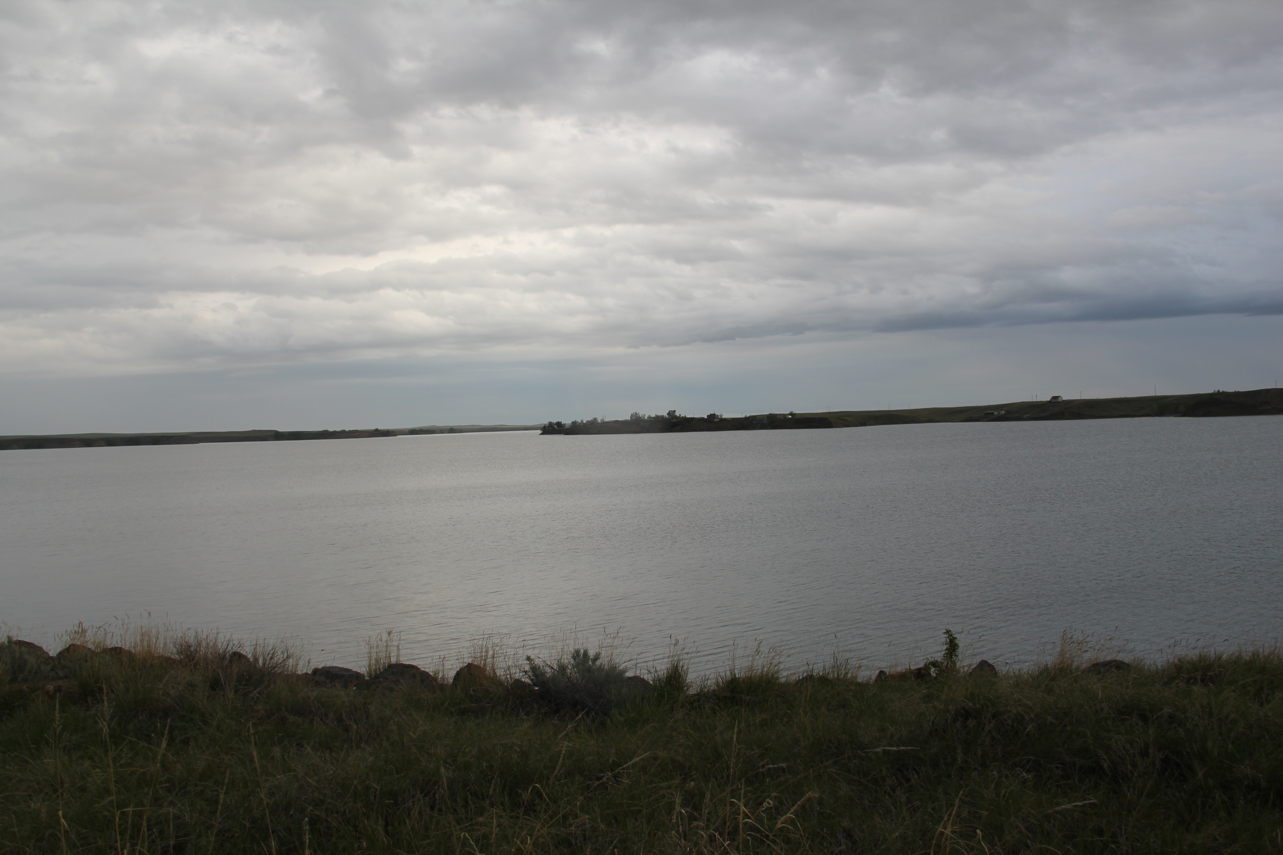
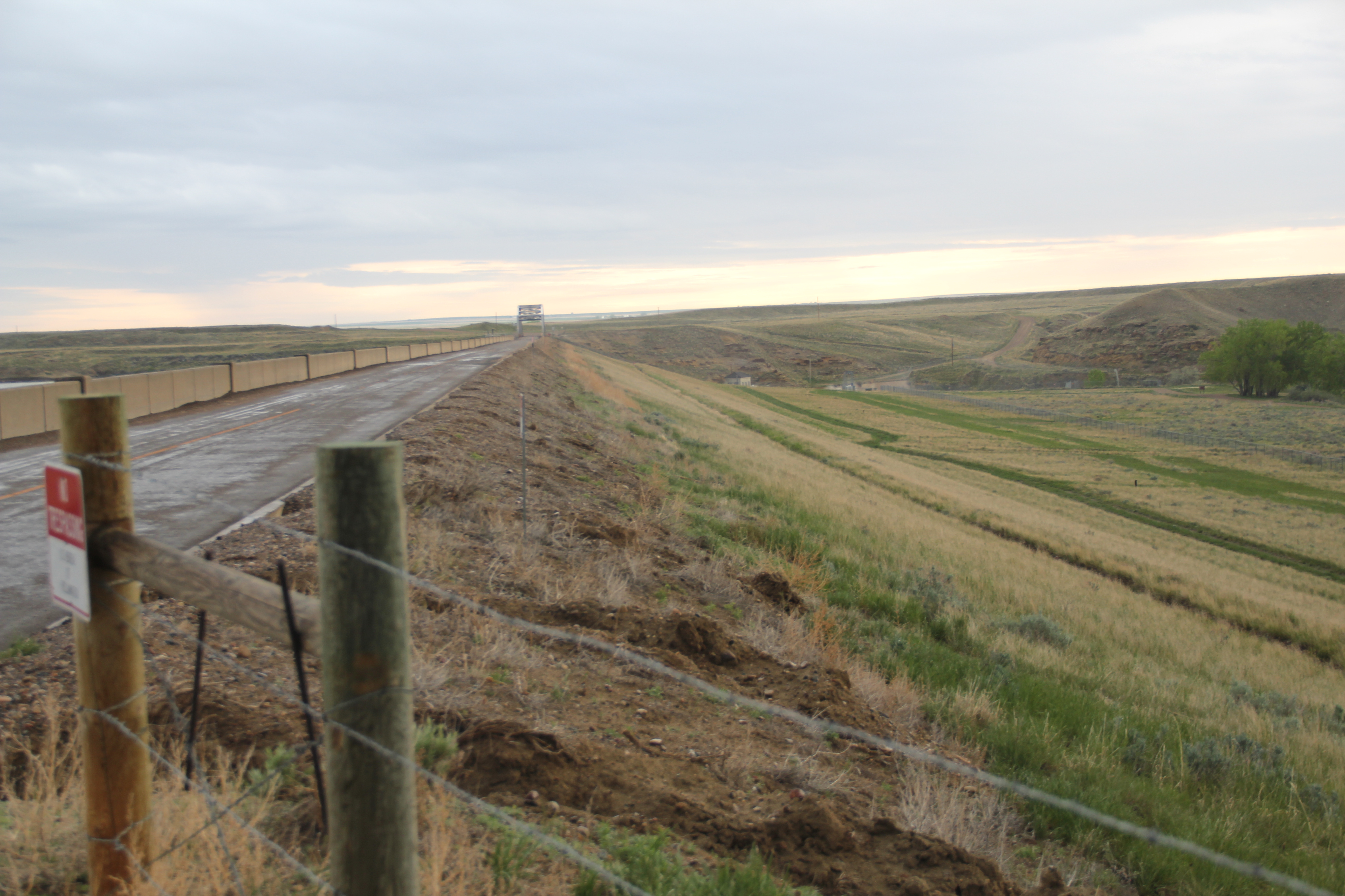
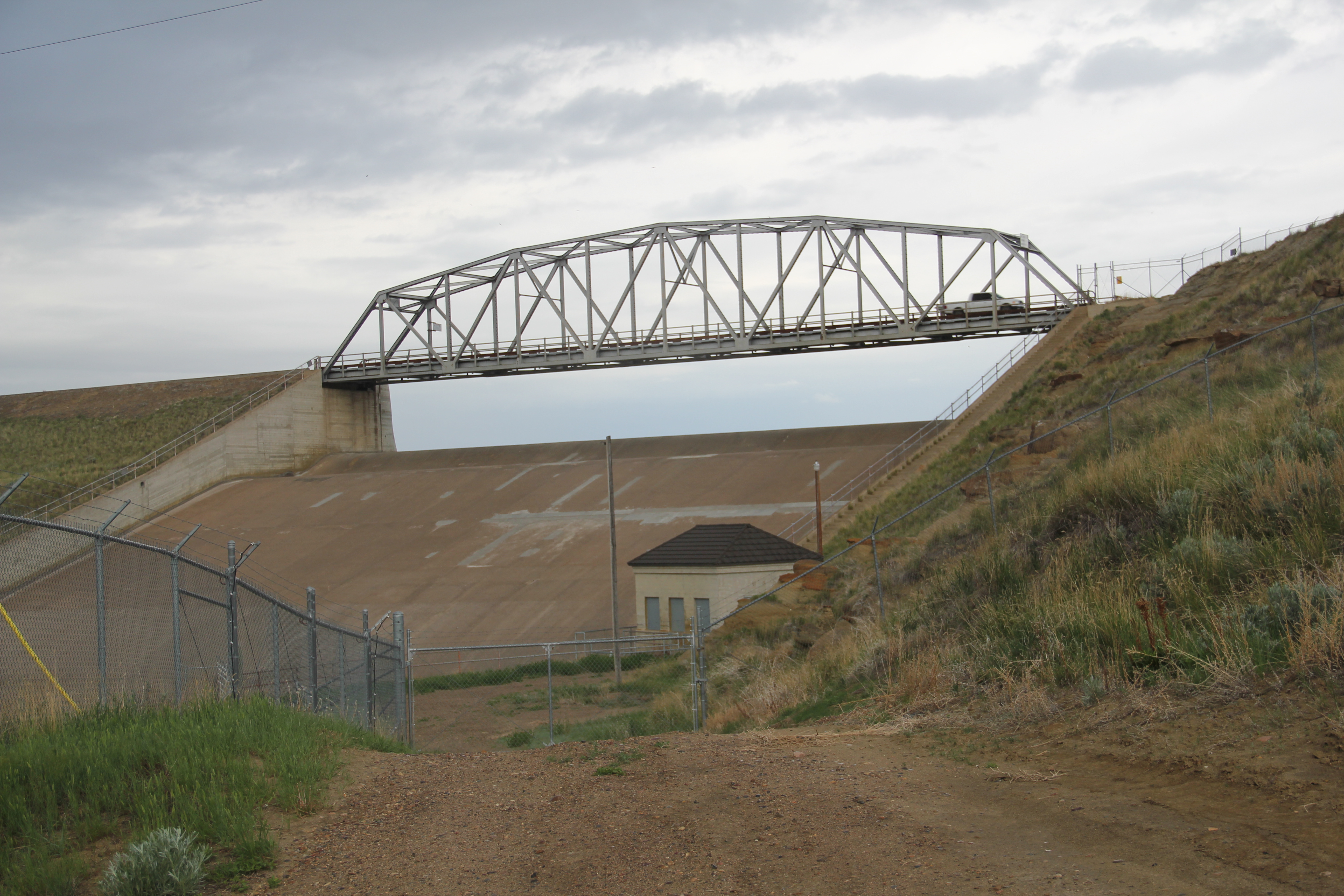
The 1930s transformed Valley County through the construction of the mammoth Fort Peck Dam on the Missouri River. Glasgow too has a major New Deal landmark in its U.S. post office and courthouse, built c. 1939 and designed by federal architect Louis A. Simon.

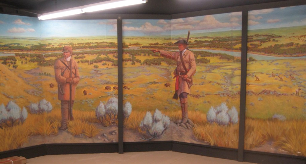
Its understated New Deal Deco exterior obscures a jewel of an interior, highlighted by its New Deal-funded 1942 mural depicting local history and the changes brought about by the Fort Peck Dam by artist Forest Hill. This building too is listed in the National Register.

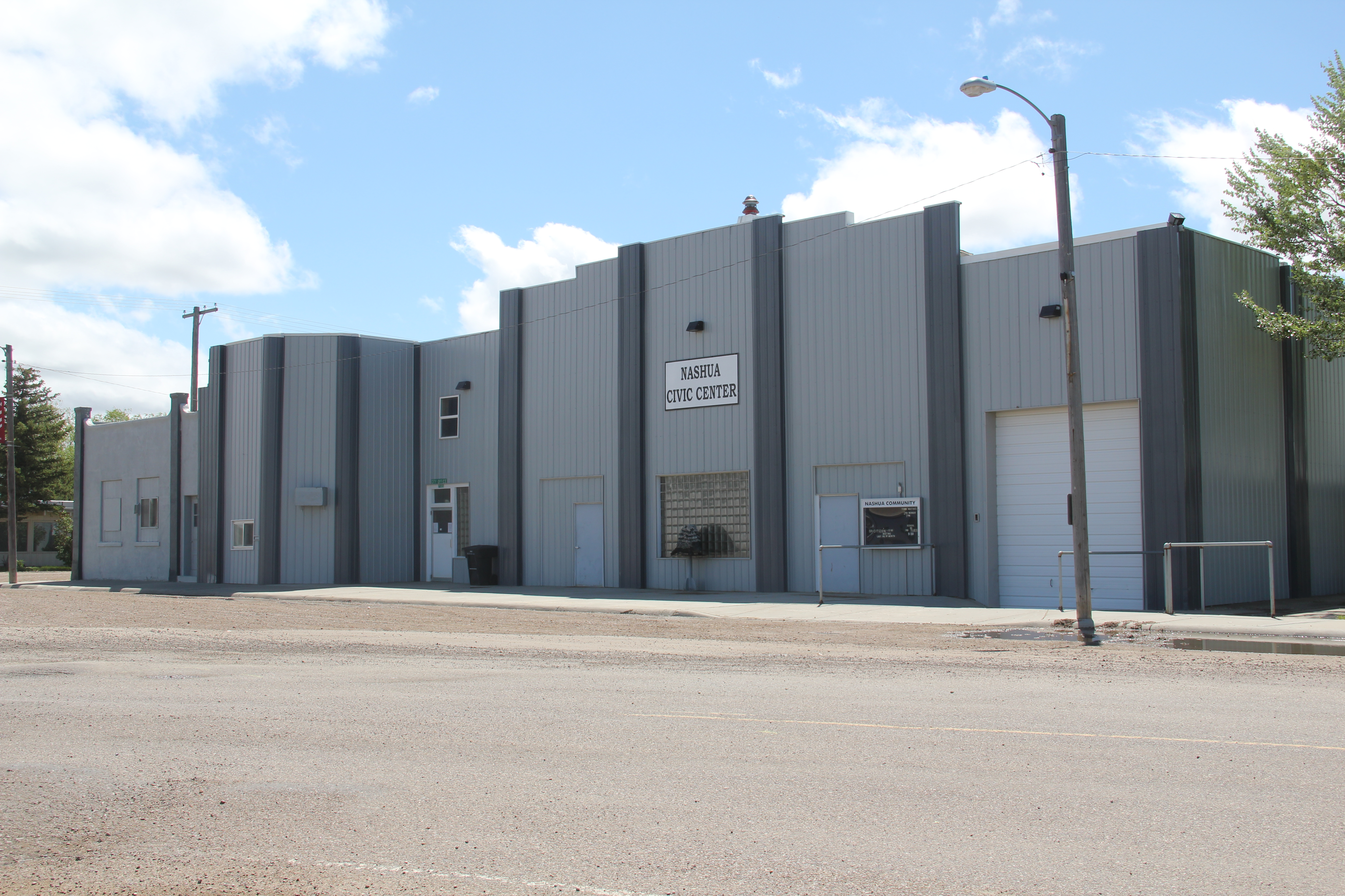
Another important New Deal supported building was all about the community, and providing new opportunities: the Glasgow Civic Center. It too has a New Deal Deco style, and its large public space has been used for almost every type of event or gathering you can imagine.


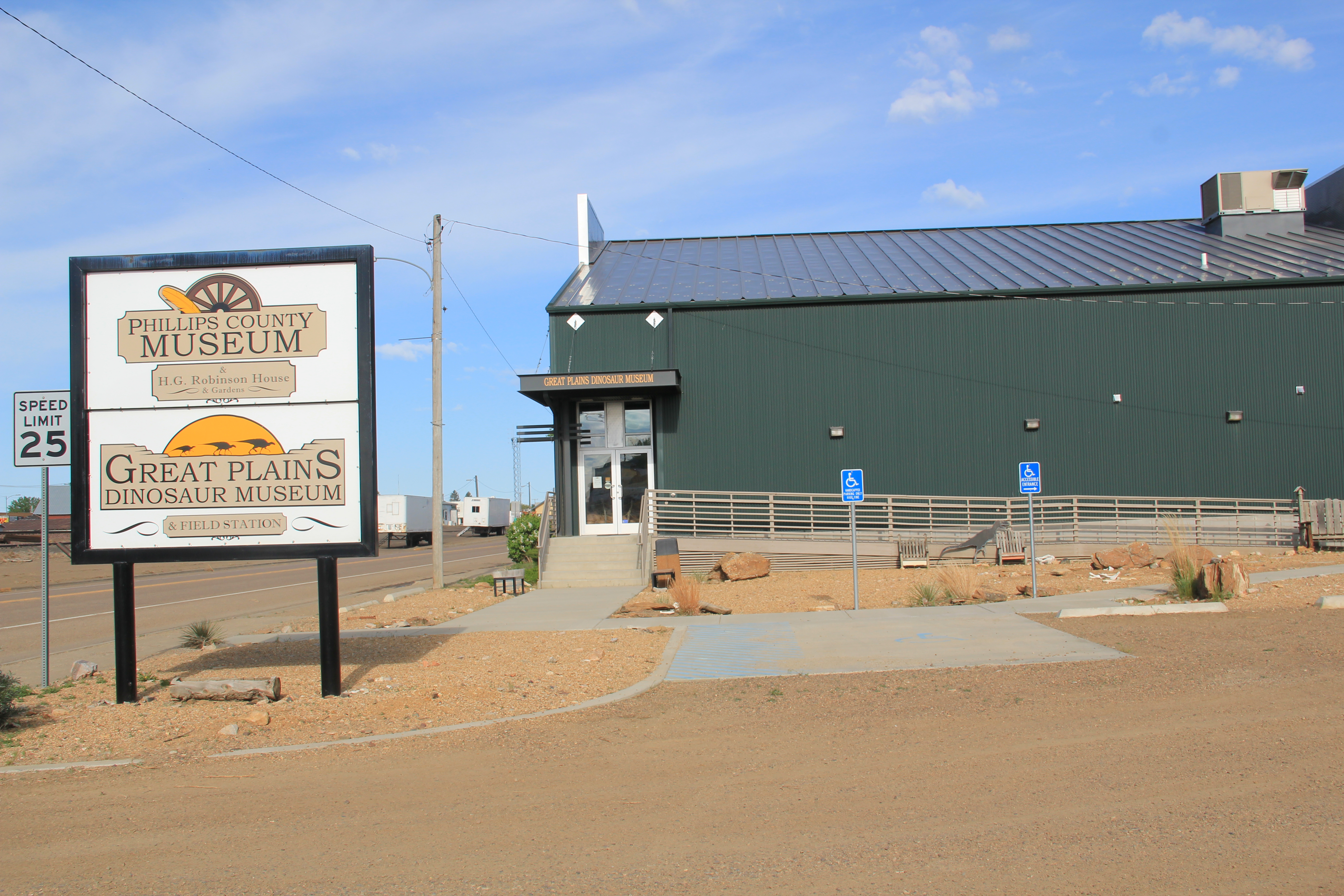
Glasgow’s sense of itself today still respects it past, brilliantly conveyed by its large and expansive museum. When I first visited Glasgow 40 years
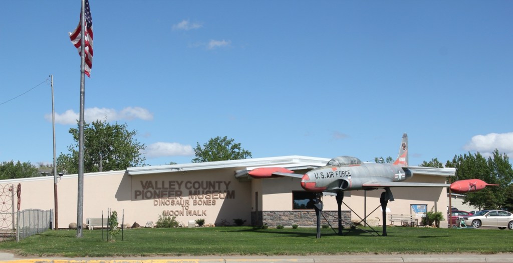
ago, I held a public meeting on the state historic preservation plan here, and the next morning residents gave me a detailed tour of the recently established museum. I was impressed with its collection then, now it sprawls through the building to the adjoining grounds.


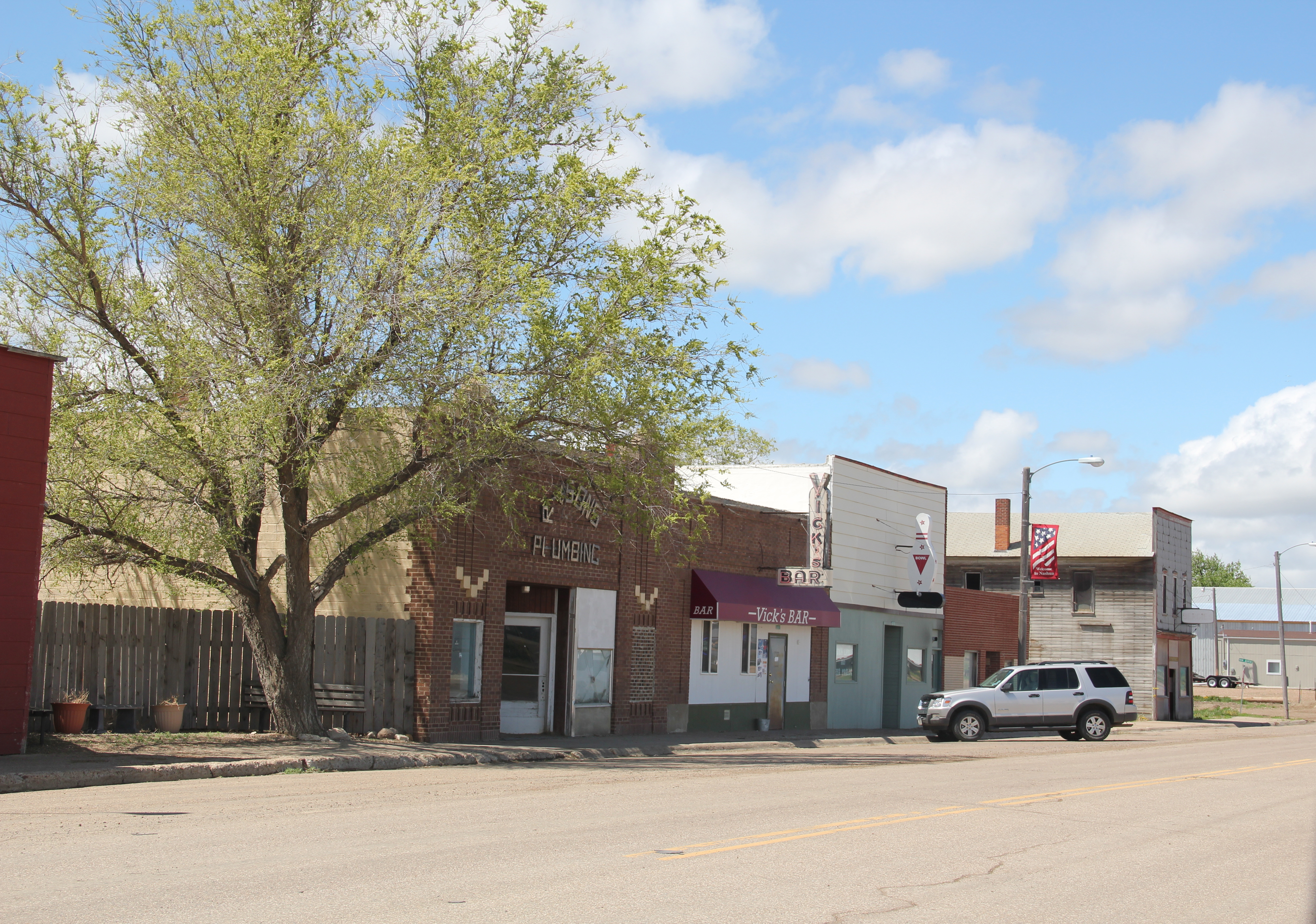
Indeed, the saloon exhibit underscores another fun part of Glasgow—across from the depot in the original route of Highway 2 is an amazing collection of bars, stores, and eateries, right out of the early 1900s.

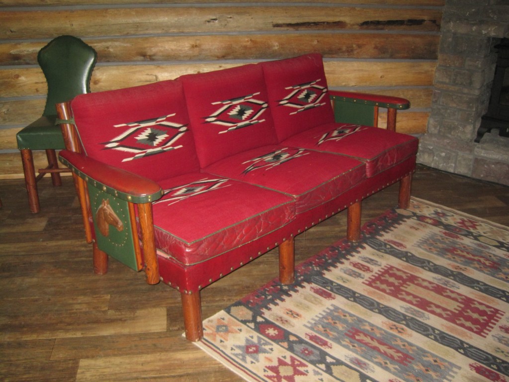
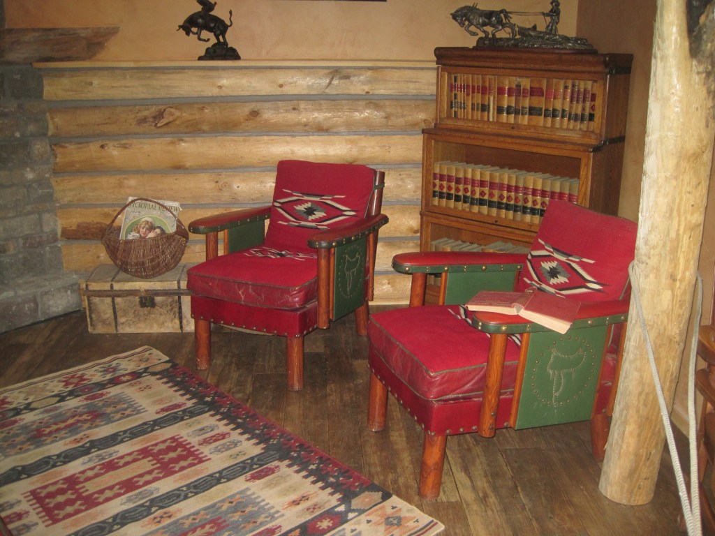
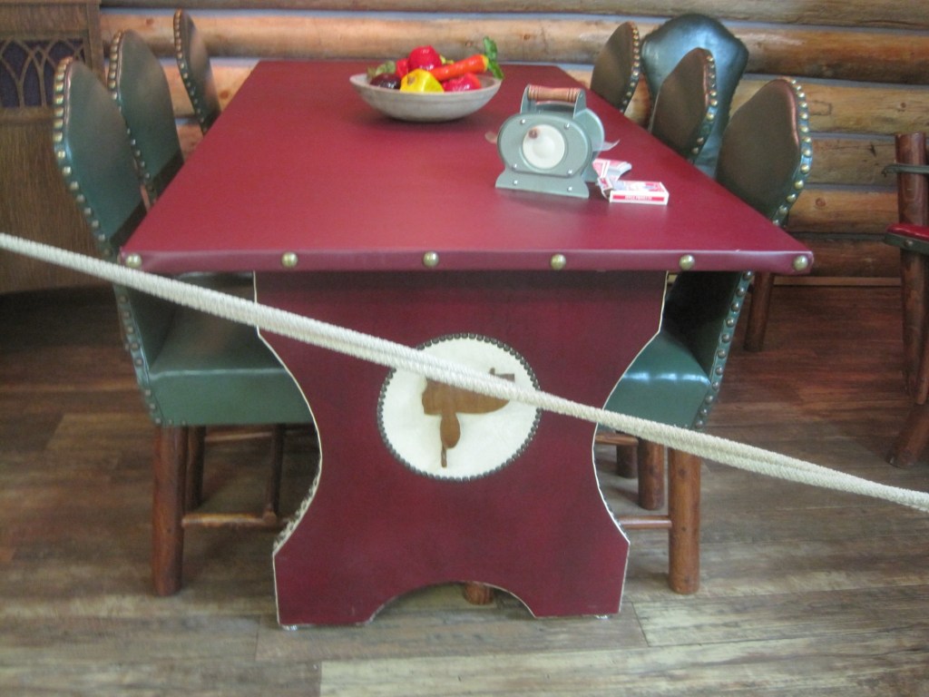
But back to the museum, and its important Montana decorative arts collection of the work of modern craftsman Thomas Molesworth, once in the town’s Carnegie library.
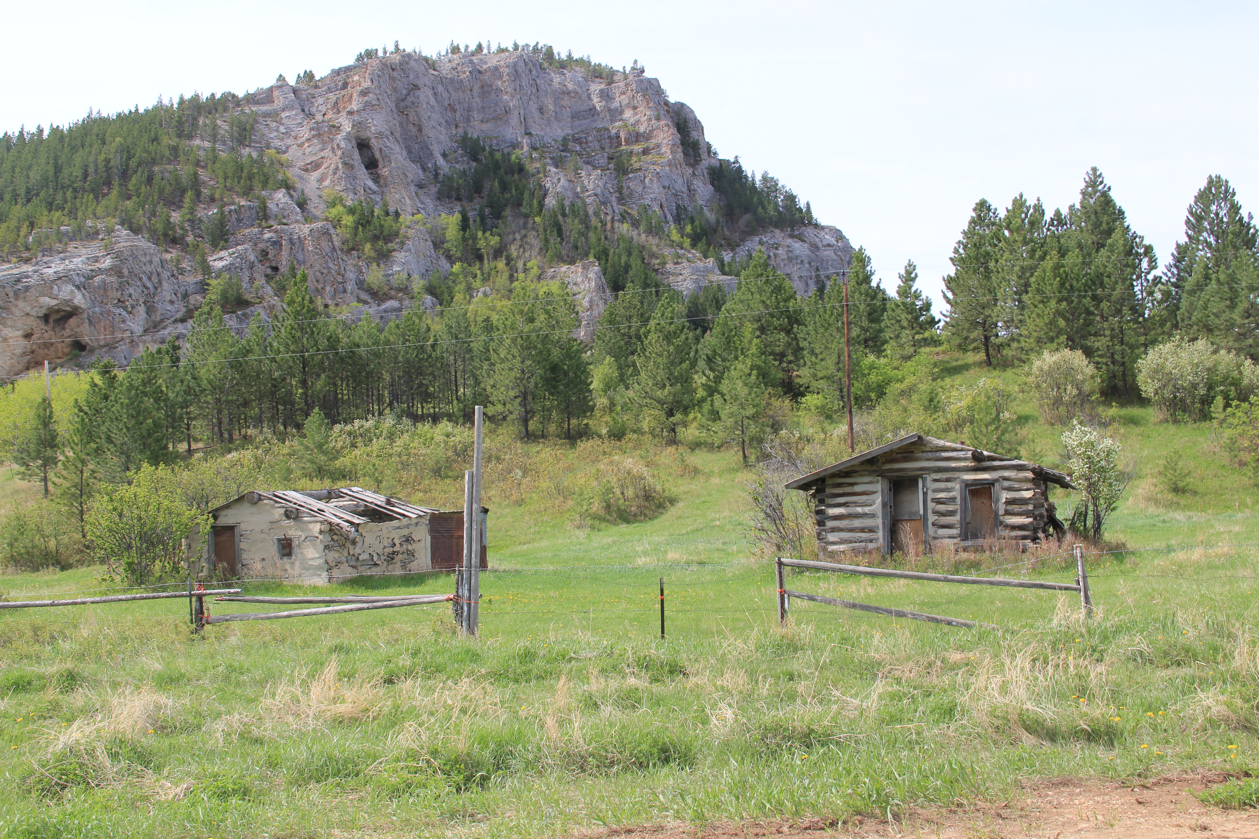
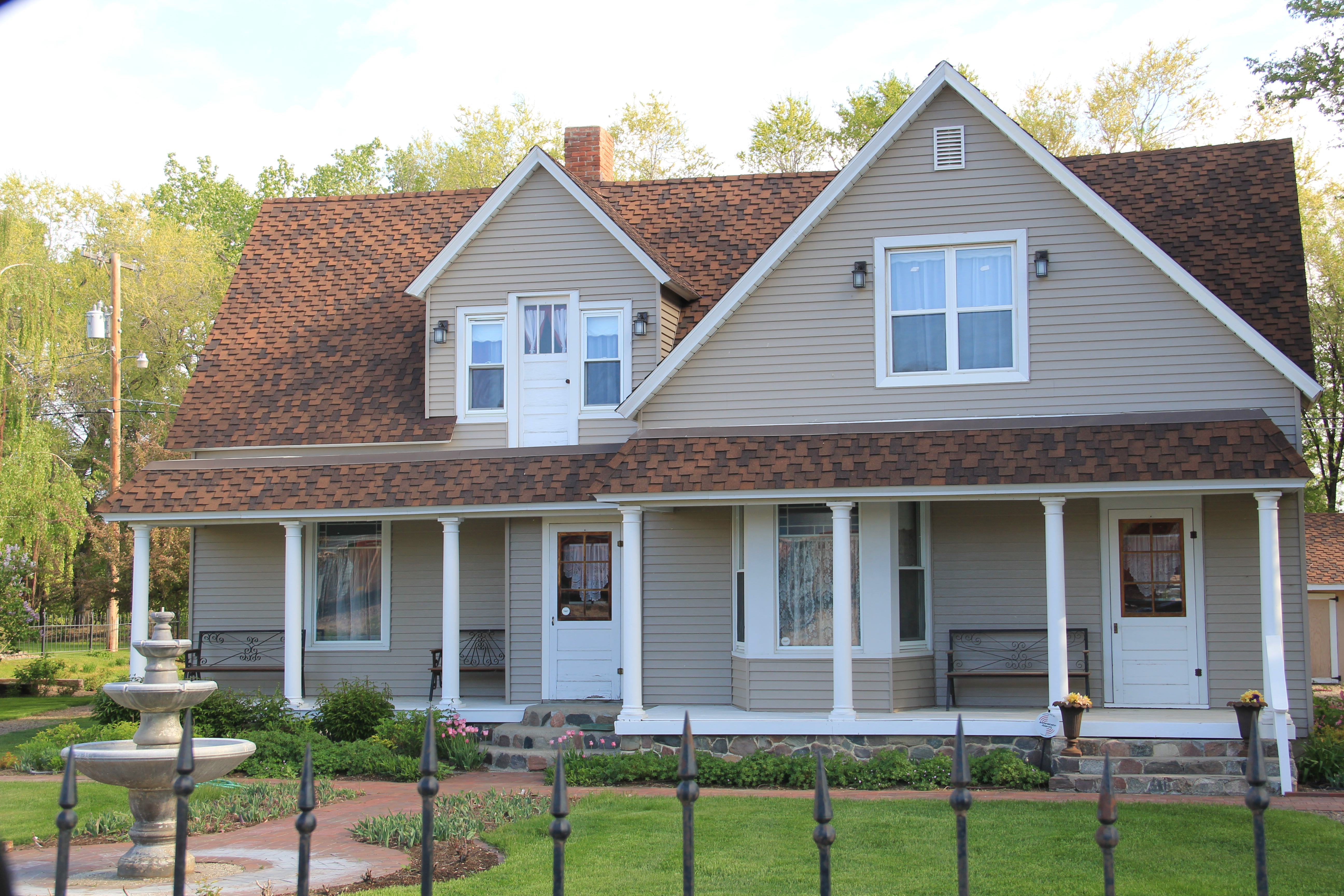
The newer exterior exhibits led the museum to move entire building to the property, including examples of the homestead shacks of the early 1900s that were followed by permanent homes such as this white painted bungalow.


Pride of place, pride of the past. Glasgow might be in the middle but it is far from being nowhere as this small sampling of properties demonstrates.