
 The two railroads and the river that shaped Missoula also carved the landscape to the northwest. Following the Clark’s Fork River to the northwest, the Milwaukee Road passes through Mineral County, adding to a transportation corridor that, earlier, included the Mullan Road, and then later U.S. Highway 10. It is now the route of Interstate Highway I-90 as i heads west to Idaho and then Washington State.


When I carried out the survey for the state historic preservation plan in 1984-1985, Mineral County had one property listed in the National Register of Historic Places. The DeBorgia School, built in the wake of the Milwaukee Road’s construction through the mountains in 1908, somehow survived the horrific fire of 1910 that claimed most of the county’s earliest buildings. As the railroad’s impact declined, and school consolidation took place, the building stopped being a local school in 1956. It has now served as a community center for longer than it was a school. A small town library has been constructed nearby since my last visit some 30 years ago.


But what was a solitary landmark in 1985 has become a county proud of its transportation history, especially the impact of the Milwaukee Road and the towns of Superior, Alberton, and St. Regis all have National Register properties that interpret railroads, transportation, and transformation in Montana’s northwest.
 As the interstate crosses the Clark’s Fork River near Tarkio it bypasses the earlier transportation network. A particular marvel is the Scenic Bridge, listed in the National Register in 2010, especially how the bridge of U.S. 10, built in 1928, was designed in dialogue with the earlier high-steel bridge of the Milwaukee Road.
 The Scenic Bridge has been closed to traffic but is safe to walk across, creating great views of both bridges and the Clark’s Fork River–travel here has always been challenging.


Alberton also has important transportation landmarks, especially its National Register-listed Milwaukee Road passenger depot. The railroad was why the town was established–it is so appropriate that now the railroad headquarters has been converted into city hall and other public uses.


 Twenty years historic preservationists stepped up to add numerous properties to the National Register throughout the county. In addition to the passenger depot, the Montana Valley Book Store, above, was listed. This two-story false front building, with attached one-story building, was once the town’s commercial heart and known as Bestwick’s Market–it has been close to the heart of book lovers for years now. Montana Valley Book Store was a relatively new business when I first visited in 1984 but now it is one of the region’s cultural institutions, especially when a visit is combined with a quick stop at the adjacent Trax Bar.
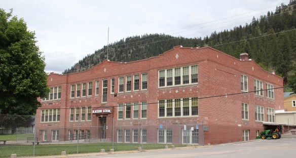
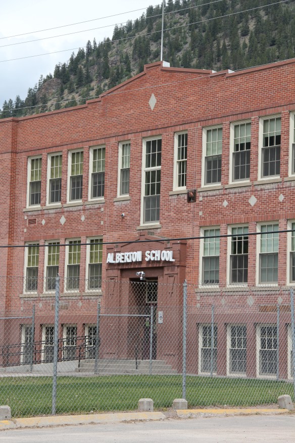 The historic three-story brick Alberton High School (now the Alberton School) operated from 1919 to 1960 as the only high school facility within miles of the railroad corridor. It too is listed in the National Register and was one of the community landmarks I noted in the 1984-1985 state historic preservation plan work.
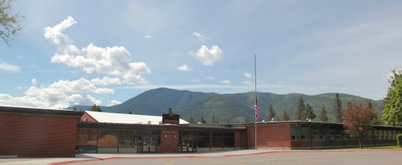
 I gave no notice to the replacement school, the modern Alberton High School, c. 1960. That was a mistake–this building too reflects school design ideas of its time–the Space Age of the late 1950s and 1960s, when open classrooms, circular designs, and a space-age aesthetic were all the rage. Alberton High School is one of my favorite small-town examples of Montana modernism.
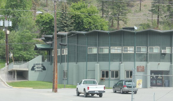 The school is a modern marvel just as the high school football field and track are reminders of how central the schools are to rural community and identity in Montana. Alberton has held its own in population in the decades since the closing of the Milwaukee Road, largely due to its proximity to Missoula and the dramatic gorges created by the Clark’s Fork River. Change is probably coming, and hopefully these landmarks will remain in service for years to come.

 To wrap up this multi-post look at Missoula and Missoula County, let’s take a brief look at the city’s historic neighborhoods. With seven historic districts, Missoula is rich in domestic architecture, and not only the homes built during its rise and boom from the early 1880s to the 1920s–there also are strong architectural traditions from the post-World War II era. This post, however, will focus on the early period, using the South Side and East Pine historic districts as examples.
 Listed in the National Register of Historic Places 25 years ago, the south side district was platted in 1890, with development especially booming after the turn of the century and the arrival of the Milwaukee Road depot by 1910. Within that 20 year period, an impressive grouping of domestic architecture, shaped by such leading architects as A. J. Gibson, was constructed, and much of it remains today. When the state historic preservation office designated the district in 1991, there were over 200 contributing buildings.
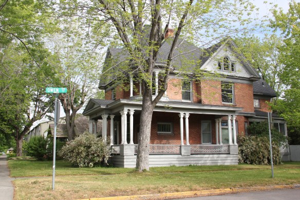 The neighborhood contains some of the city’s best examples of Queen Anne style, as seen above but also has many different examples of other popular domestic styles of the era, such as the American Four-square and variations on the various commonplace turn of the century types as the bungalow.


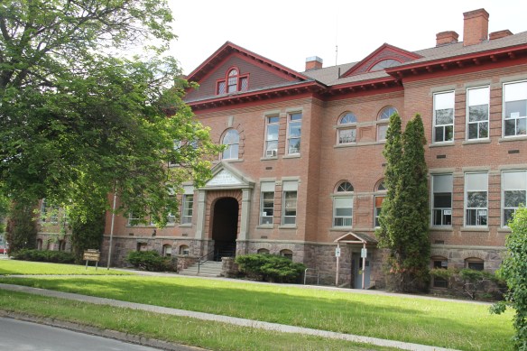 Apartment blocks and duplexes from the turn of the century also are important contributing buildings to the neighborhood. They reflect the demand for housing in a rapidly growing early 20th century western city.


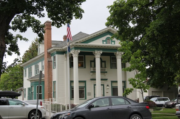


 Before we leave Missoula, I want to also briefly consider its historic 1884 cemetery, an often forgotten place as it is located on the northside of the Northern Pacific Railroad corridor, and a property, like so many in 1984-1985, I gave no consideration to as I carried out the fieldwork for the state historic preservation plan.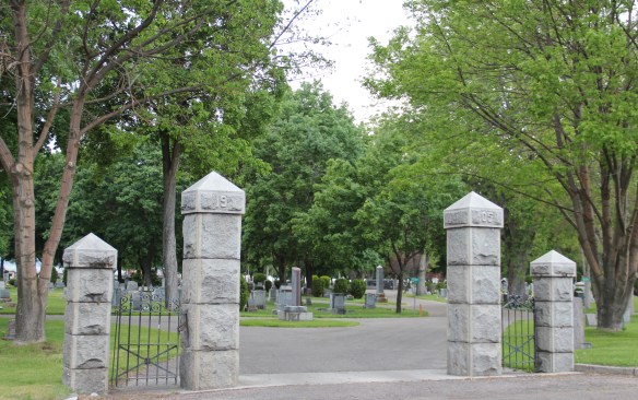
 A large concrete cross and adjacent river rock stone lined marker pay homage to the cemetery’s earliest burials as well as the many first citizens interred here.


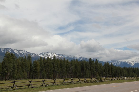 Missoula County has grown, a lot, since my state historic preservation plan work in 1984-1985, especially in the county seat of Missoula and surrounding suburbs. Yet Missoula County still has several spectacular rural drives, like Montana Highway 83 above at Condon, along with distinctive country towns. This post will share some of my favorites.


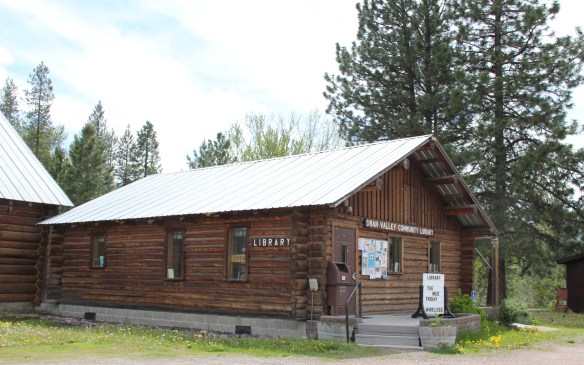 The Condon Community Center and adjacent Swan Valley Community Library serve as additional hubs for those living along the lakes and mountains of northeast Missoula County. Both buildings are excellent examples of mid-20th century Rustic style–a look that, in different variations, dominates the Highway 35 corridor.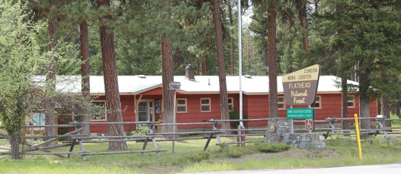
 Condon is also the base for the Condon Work Center, home to the Great Northern Fire Crew, of the Flathead National Forest. Here you can take a mile-long Swan Ecosystem Trail and learn of the diversity of life in this national forest region.
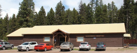
 South of Condon on Montana Highway 83 is Seeley Lake–a place that certainly has boomed in the last 30 years–witness the improved highway, new businesses, and population that has increased over 60 percent since my last visit in 1992. Yet it still had places rooted in the community’s earlier history such as the Sullivan Memorial Community Hall–a good example of mid-20th century Rustic style.
 And it had added one of my favorite bits of roadside architecture in this part of Montana: the Chicken Coop Restaurant as well as opening a new Seeley Lake Historical Museum and Chamber of Commerce office at a spectacular highway location just outside of town.


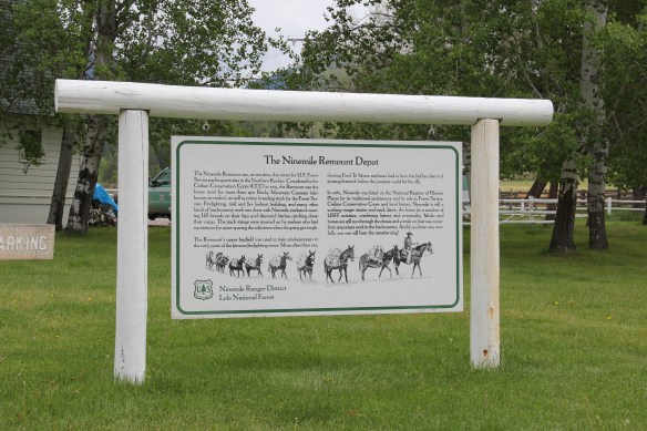
 I don’t recall even thinking about the forest service facility, but here was an entire complex devoted to the forest service’s use of mules and horses before the days of the ATV that was built by the Civilian Conservation Corps. The remount depot is an interesting


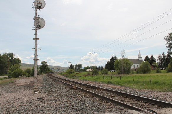
 The name Frenchtown dates to 1868 and is a reference to a number of French Canadians who moved here in the early settlement period. A National Register-listed church, the St. John the Baptist Catholic Church (1884) marks that first generation of settlers. Its classical-tinged cupola has long been the town’s most famous landmark.
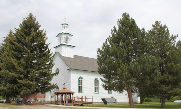 The Milwaukee Road built through here in 1907-1908 and there remains a handful of historic business buildings from the time of the Milwaukee boom. There is one landmark
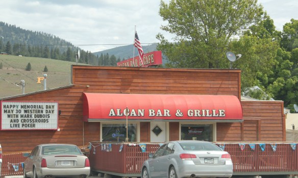
 another roadside landmark–the Bucksnort Bar, just further evidence to add to the Chicken Coop and the Alcan that you won’t go hungry if you explore the small towns of Missoula County.

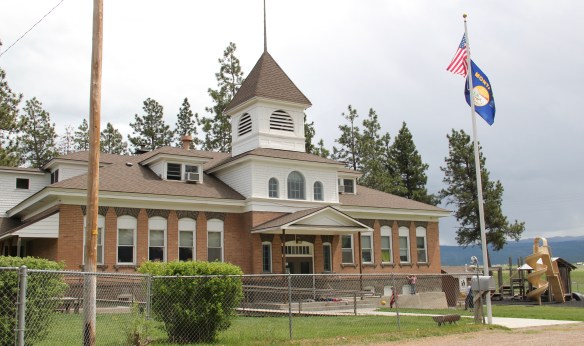
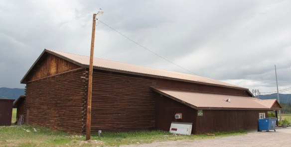 It is a land watered by the river, framed by the mountains, and famous for its beef–which they even brag about at the crossroads of Montana Highways 200 and 83.
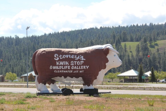 But soon after passing the junction, you enter a much different landscape, particularly at the point where the Blackfoot River meets the Clark’s Fork River. This is an industrial world, defined by the company town design of Bonner and the active transportation crossroads at Milltown. Suddenly you shift from an agricultural landscape into the timber industry, which has long played a major role in the history of Missoula and northwest Montana.
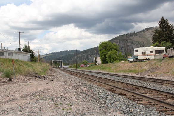 In 1881 the Northern Pacific Railroad was approaching the river confluence. It contracted with a company led by E. L. Bonner, Andrew Hammond, and Richard Eddy to supply everything the railroad needed but steel as it passed through the region. Two years later the railroad provided the capital for Bonner, Hammond, Eddy, and M.J. Connell to establish the Montana Improvement Company. In c. 1886 the improvement company dammed the rivers and built a permanent sawmill–the largest in the northern Rockies, and created the town of Bonner. The sawmill works and town would later become the Blackfoot Milling and Manufacturing Company and eventually by the late 1890s it was under the control of Marcus Daly and his Anaconda Copper Company. Anaconda ran Bonner as a company town until the 1970s.
 Although buildings have been lost in the last 30 years, especially at the sawmill complex which had a disastrous fire in 2008 and a heavy snow damaged another historic structure in 2011, I found Bonner in 2014 to remain a captivating place, and one of the best extant company towns left in Montana.
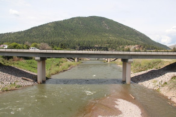 Montana Highway 200 passes through the heart of Bonner while Interstate I-90 took a good bit of Milltown when it was constructed in the 1970s. Both Bonner and Milltown are heavily influenced by transportation and bridges needed to cross the Blackfoot and Clark’s Fork rivers.
 The Milltown Bridge has been restored as a pedestrian walkway over the Blackfoot River. It is the best place to survey the Blackfoot Valley and the old sawmill complex.
 The pedestrian bridge and heritage trail serve as a focal point for public interpretation, for the Lewis and Clark Expedition, the Mullan Road, and then the lumber industry, which all passed this way over time, a conjunction of rivers and history that lie at the heart of the local and state (Milltown State Park) effort to interpret this important place.




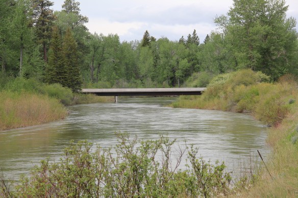 Between Garrison Junction, where U.S. Highway 12 and Interstate I-90 meet, to Elliston, at near the Mullan Pass over the continental divide, is a beautiful, historic valley carved by the Little Blackfoot River. It is a part of Powell County that hundreds whiz through daily as they drive between Missoula and Helena, and it is worth slowing down a bit and taking in the settlement landscape along the way.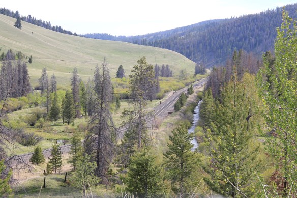
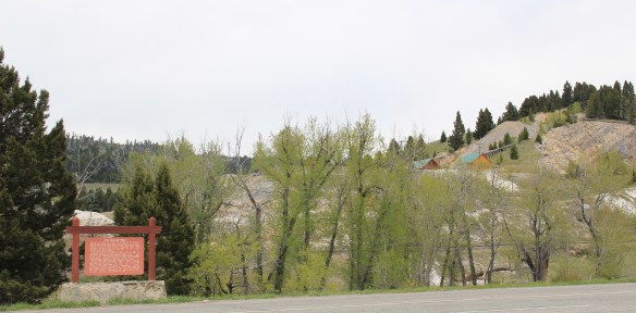 Captain John Mullan came this way shortly before the Civil War as he built a military road between Fort Benton and Walla Walla, Washington. A generation later, in the early 1880s, the tracks of the Northern Pacific Road used the Mullan Pass to cross the divide and then followed the Little Blackfoot River west towards Missoula.


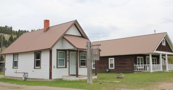
 The oldest federal imprint in Elliston comes from the ranger’s headquarters for the Helena National Forest in its combination of a frame early 20th century cottage and then the Rustic-styled log headquarters.
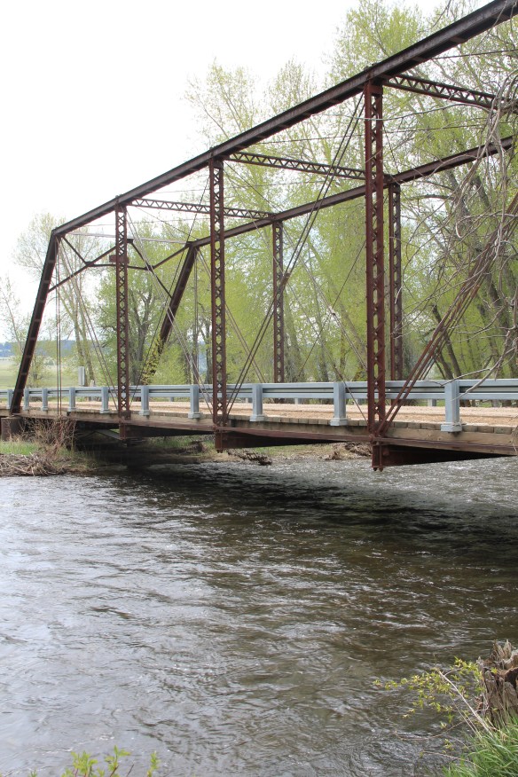
 The next railroad town west is Avon, which is also at the junction of U.S. Highway 12 and Montana Highway 141 that takes travelers northwest toward the Blackfoot River. Like Elliston, Avon has several buildings to note, although the National Register-listed property is the historic steel truss bridge that crosses the Little Blackfoot River and then heads into ranch territory.
 The bridge is a Pratt pony truss, constructed in 1914 by contractor O.E. Peppard of Missoula, and little altered in the last 100 years. As the National Register nomination notes, the bridge’s camelback trusses are unusual and have not been documented in other Montana bridges from the early 20th century.
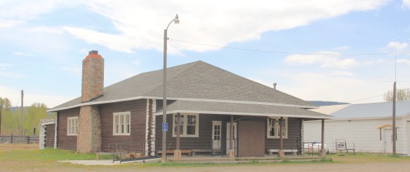
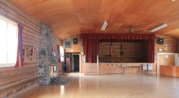
 Avon has another clearly National Register-worthy building in its 1941 community hall, a late New Deal era building, which has served the community in multiple ways, as a meeting place for the Avon Grange, a polling place, and a place for celebrations of all sorts, including stage presentations and bands.
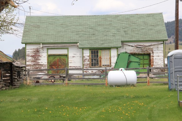
 The Avon School also has a New Deal era affiliation, with the Works Progress Administration. Although remodeled in the decades since, the school still conveys its early 20th century history.
 Avon even has its early 20th century passenger station for the Northern Pacific Railroad, although it has been moved off the tracks and repurposed for new uses.
 In front of the depot is the turn of the 20th century St. Theodore’s Catholic Church. The historic Avon Community Church incorporates what appears to be a moved one-room school building as a wing to the original sanctuary.


 Another important property in Avon, but one I ignored in 1984-85, is the town cemetery, which also helps to document the community’s long history from the 1880s to today.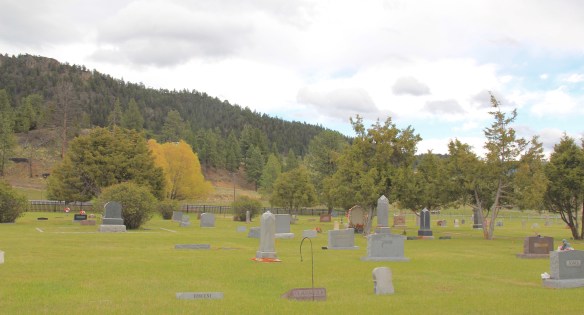
 Heading west from Avon on U.S. Highway 12 there are various places to stop and enjoy the river valley as it narrows as you approach Garrison. I always recalled this part fondly, for the beaverslide hay stackers–the first I encountered in Montana in 1981–and they are still there today, connecting the early livestock industry of the valley to the present.


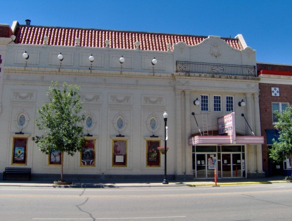
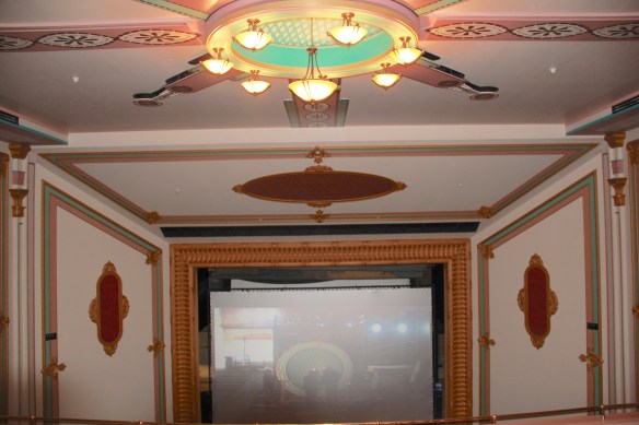
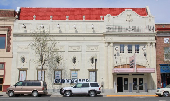 Imagine my pleasure to be there for the theatre’s grand opening May 19, 2012. Not only had the community raised the funds to repair and reopen the business, they also took great pains to restore it to its earlier architectural glory. Such an achievement for a town of just over 3,000 residents–when you consider that the next city south on Interstate I-90 is Anaconda with its monument Washoe Theatre, I immediately began to think of future “movie palace” trips. What a treat, both for the experience and architecture.



 In that same trip to Deer Lodge, I noted how the community had recently enhanced the National Register-listed W. K. Kohrs Memorial Library (1902), one of the region’s great Classical Revival buildings by the Butte architectural firm of Link and Carter (J.G. Link would soon become one of the state’s most renowned classicists), by expanding the library
 with an addition to the side and behind the commanding entrance portico. Although it has proven to be difficult for such a small town to keep the library professionally staffed, the care they have shown the exterior and interior indicate they understand the value of this monument from the past.

 Then add in the impressive examples of turn of the 20th century church architecture, represented by the Cotswold Gothic stone work of St. James Episcopal Church, the more former Tudor Revival of the 1st Presbyterian Church, and the more vernacular yet


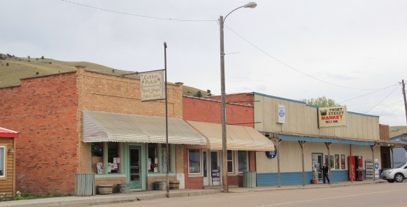 Drummond is the north entrance of the Pintler Scenic Route. The first ranchers settled here in the 1870s but a proper town, designed in symmetrical fashion facing the railroad tracks, was not established until 1883-1884 as the Northern Pacific Railroad built through here following the Clark’s Fork River to Missoula.


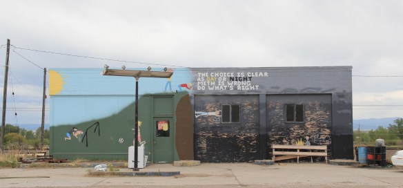 There is a faintly classically influenced two-story brick commercial block, a Masonic Lodge made of concrete block, various bars and cafes, a railroad water tank, and a slightly Art Deco movie theater, which was open in the 1980s but is now closed.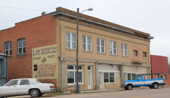


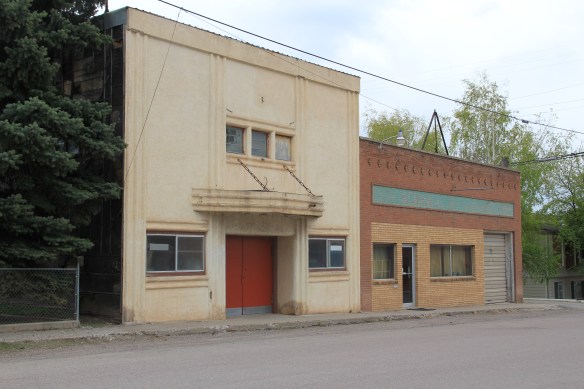 Due to the federal highway and the later Interstate I-90 exit built at Drummond, the town even has a good bit of motel roadside architecture from c. 1970 to 1990.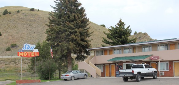
 Between the Northern Pacific corridor and old U.S. 10 is the town’s most famous contemporary business, its “Used Cow” corrals, and now far away, on the other side of the
 tracks are rodeo grounds named in honor of Frank G. Ramberg and James A. Morse, maintained by the local American Legion chapter.
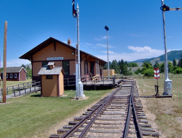
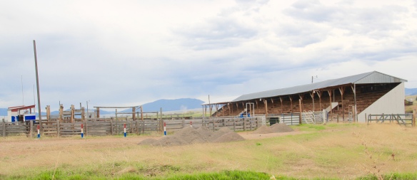 The rodeo grounds are not the only cultural properties in Drummond. The Mullan Road monument along the old highway is the oldest landmark. The local heritage museum is at the New Chicago School (1874), an frame one-story school moved from the Flint River Valley to its location near the interstate and turned into a museum.

 Another local museum emphasizes contemporary sculpture and painting by Bill Ohrmann. A latter day “cowboy artist” Ohrmann grew up in the Flint River Valley but by the 12960s he was producing sculpture and painting on a regular basis. The museum is also a gallery and his works are for sale, although the huge sculptures might not be going anywhere.


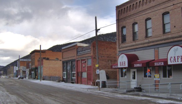 When I carried out the Montana State Historic Preservation Plan field work in 1984-1985 I passed through Basin Street in the heart of “downtown” Basin quite frequently, not because of the Silver Saddle Bar–fine place it is–but because I had no choice if headed
 The glory days of Basin had long since passed, although some locals and visitors would go to the Merry Widow Mine for a dose of radon, thinking it could cure their ills (of course radon exposure is actually dangerous). Led by the Butte capitalist Augustus Heinze, the town from the mid-1890s to mid-1920s had been a quite thriving place, served as both the Great Northern and Northern Pacific Railroads with its Basin Street becoming the route for U.S. Highway 91. The numerous two-story brick commercial buildings reflected that era of prominence while a decaying c. 1930 garage on the town’s outskirts documents the impact of the federal highway.
 Several key community landmarks remain. The most impressive is the two-story frame Basin School, built in 1895 and still in use as a school today. Here is another great Montana rural school building–the state is so rich in this type of public architecture.
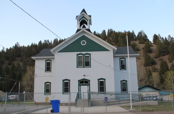 Nearby is the Community Church, another late Victorian-era styled building, with its tall bell tower and distinctive corner entrance.


 Miners first began to gather at what is now Philipsburg in the late 1860s; the town was later named for Philip Deidesheimer, who operated the Bi-Metallic Mine works. As the Bi-Metallic Mine and Mill expanded operations in the 1880s, a rapid boom in building


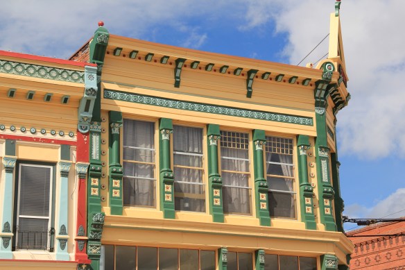 The quality of the Victorian commercial architecture still extant in Phillipsburg, such as the 1888 Sayrs Block above, astounded me during the 1984-85 preservation work. So much was intact but so much needed help. Residents, local officials, and the state preservation office understood that and by 1986 the Philipsburg Commercial historic district had been added to the National Register of Historic Places.
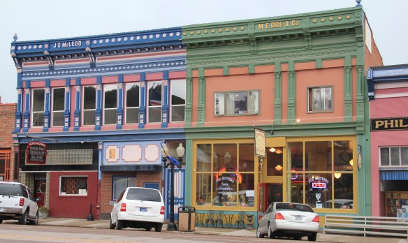 What is exciting is that in this decade, entrepreneurs are building upon early successful renovations and adaptive reuse project to launch new businesses and create new jobs. The town’s population is growing, after 30 years of decline.


 The new developments in Philipsburg are interesting and invaluable changes since 1984-1985. At the same time, I am happy that residents have still embraced their historic public buildings in a similar fashion. The photograph I used in my book about the town in 1985
 was the Philipsburg School, with its soaring tower symbolizing the hopes that residents had for Philipsburg’s future in the 1890s. The historic school, which is listed in the National Register, remains although the community built a new building adjacent to the historic one in 1987. (you can see a corner of the new building at the lower left).
 When I first visited in 1984 the only building in Philipsburg listed in the National Register was the Queen Anne-styled Granite County Jail of 1902. It also remains in use.
 But now the Classical Revival-styled Granite County Courthouse (1913) is also listed in the National Register. Designed by the important Montana architectural firm of Link and Haire, this small town county courthouse also speaks to the county’s early 20th century ambitions, with its stately classical columned portico and its central classical cupola.


 By climbing the hill above the courthouse you also gain a great overview look of the town, reminding you that these rather imposing public buildings are within what is truly a modest urban setting that is connected to the wider world by Montana Highway 1.


 The Philipsburg Cemetery, which like so many that I ignored in 1984-1985, was a revelation, reflecting the quality of Victorian period architecture found in the town.
 The beauty and serenity of its setting were impressive enough, but then some of the family plots and individual markers reflected Victorian era mortuary art at its best.
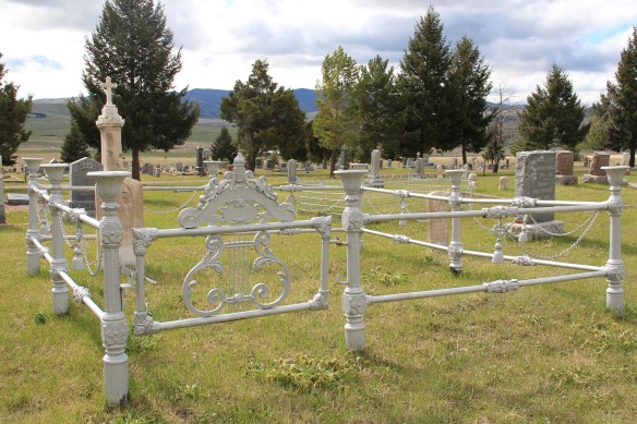
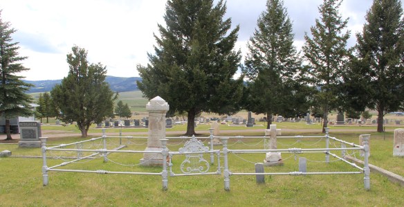 This cast-iron gate, completed with urns on each post and the music lyre gate, is among the most impressive I have encountered in any small town across America. And this cemetery has two separate ones.
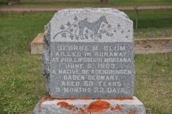
 Many grave markers came from local or nearby masons but others, like these for the Schuh and Jennings families, were cast in metal, imitating stone, and shipped by railroad to Philipsburg.

 Since my earlier work on the state historic preservation plan in 1984-1985, few places in Montana had experienced such rapid population growth as Stevensville. The place had just over 1200 residents in the 1980s, and that increased to a mere 1221 in 1990. But now Stevensville is close to 2,000 in population.
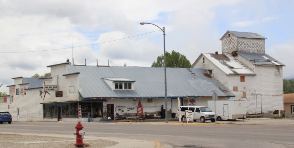 But enough is still here–like the historic mill complex above–that even as the business changes there is still the feel of an agricultural town at Stevensville. A major reason for the sense of continuity is the Stevensville Commercial Historic District, which has helped to protect the core of the town.
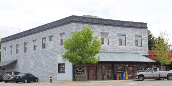
 Also, buildings such as the two-story Old Fellows Hall (1912) have been individually listed in the National Register, adding prominence to the historic district. The district has a range of one-story and two-story brick buildings, most from the agricultural boom of the first two decades of the 20th century. A notable exception is a two-story concrete block

 One major trend of Stevensville over 30 years is how buildings have been adapted to new uses. You expect that in a commercial area with a rising population, but here it has happened to such landmarks as the historic turn of the 20th century school building,
 which is now the United Methodist Church, while the two-story brick American Four-Square house below is the historic Thornton Hospital (1910), but now serves as the Stevensville Hotel. Both buildings are listed in the National Register.
 One area that I really failed to consider in the 1984-1985 work was the diversity and cohesiveness of the historic residential neighborhood. It too has been documented by a National Register historic district, but some dwellings, such as the impressive Classical Revival-styled Bass House have been individually listed.
 Another favorite dates to the 1930s and the impact of the International Style on Montana domestic architecture: the Gavin House, with its flat roof, its boxy two-story shape and bands of windows at the corners.
 Between these two extremes of early 20th century domestic design, Stevensville has an array of architectural styles, from the Folk Victorian to the more austere late 19th century vernacular to bungalows to revival styles.


