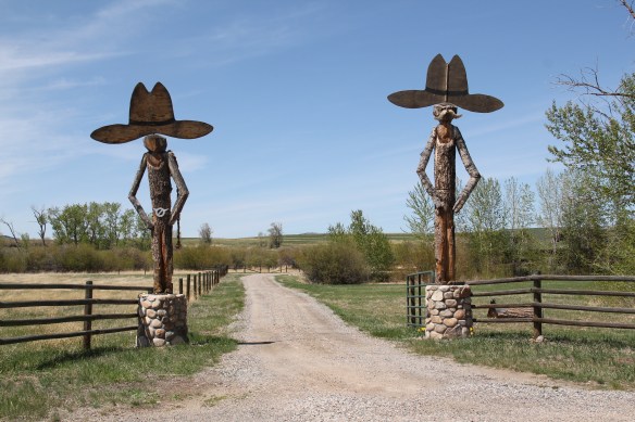
Montana Highway 141 cuts north from Avon On U. S. Highway 12 to halfway between the towns of Ovando and Lincoln on Montana Highway 200. Its is high mountains prairie travel at its best, although the height of ranching along this route disappeared a while back. About 12-13 miles north of Avon you cross into the Nevada Creek drainage, which has long watered the land, enhanced after the New Deal added the Nevada Creek earthen dam that created Nevada Creek Reservoir in 1938.

Nevada Creek Dam Spillway.
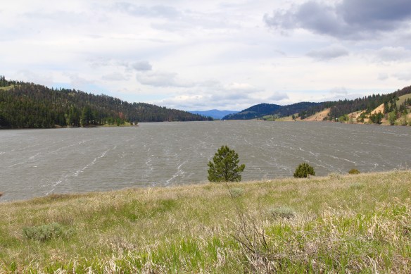 Along the east banks of the lake are remnants of the Fitzpatrick Ranch, which is listed in the National Register of Historic Places. I highlighted the property in my book A Traveler’s Companion to Montana History (1986). Jimmy Isbel established the property in 1872,
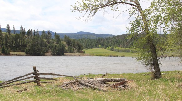
Fitzgerald Ranch facing Nevada Creek Reservoir.
building a log cabin. But he did little to develop it and c. 1885 he sold it to J.F. Fitzpatrick. His family patented his homesteading claim in 1890 and in the next decade, they built a two-story log home, a wooden-frame barn, and other outbuildings before adding a Queen Anne-influenced frame wing to the house, totally transforming the look of the ranch.
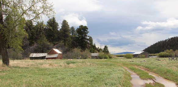 Thirty years ago, this significant collection of vernacular buildings was in good condition, but the years since have been hard on the property, and the complex now needs serious preservation attention. The loss of the roof on the log barn, and the general poor condition of the roofs of the outbuildings are major concerns.


 Between the Fitzpatrick Ranch and Helmville is the Barger Ranch, also from the late 19th century judging from the more polished example of Queen Anne style in the ranch house. It is living proof that not all of the Nevada Creek ranches have passed away. The Nevada Creek Water Users Association at Helmville still operates to distribute the invaluable water from the reservoir.
  Helmville was another topic in my 1986 book. Throughout the Nevada Creek drainage, you could help but be impressed with the log construction, and the various types of notching used for the buildings. Helmville had a particular interesting grouping of wood frame and log buildings, which were highlighted by a 1984 photograph in the book. That exact view could not be replicated 30 years later but several of the old buildings still stood.

 Helmville has a good bit of continuity. Along with the row of buildings on Montana 271 there is a turn of the 20th century gable-front cottage and a two-story lodge building that has been turned into a garage.


 Trixie’s was the same fun dive that I always recalled, but the village’s historic buildings had been restored, looking good. Business appeared to be brisk. A new community church has been opened, and a major interpretive place for the “Lewis Minus Clark” expedition had been installed. Kudos to both the U.S. Forest Service and the Lewis and Clark National Historic Trail for allowing a bit of humor in this marker.


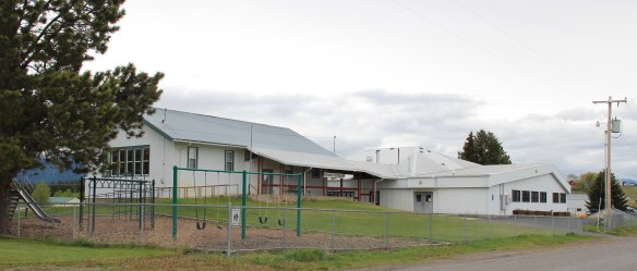 The school had also expanded from its New Deal core of the 1930s, courtesy of the Works Progress Administration. But the most noticeable change was the town’s street signs–first the fact that a small place had street signs but then the nostalgic backpacker theme of these cast iron marvels.
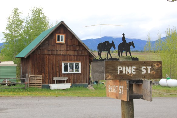 Ovando is a good location on the Blackfoot River for sportsmen, anglers, and hikers headed into the Bob Marshall Wilderness–its recent change demonstrates the influence on those groups on the 21st century Montana landscape.
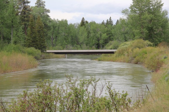 Between Garrison Junction, where U.S. Highway 12 and Interstate I-90 meet, to Elliston, at near the Mullan Pass over the continental divide, is a beautiful, historic valley carved by the Little Blackfoot River. It is a part of Powell County that hundreds whiz through daily as they drive between Missoula and Helena, and it is worth slowing down a bit and taking in the settlement landscape along the way.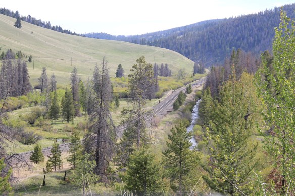
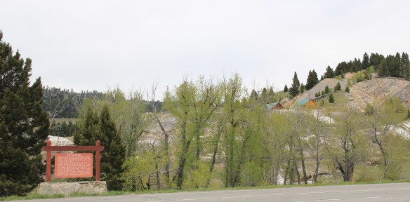 Captain John Mullan came this way shortly before the Civil War as he built a military road between Fort Benton and Walla Walla, Washington. A generation later, in the early 1880s, the tracks of the Northern Pacific Road used the Mullan Pass to cross the divide and then followed the Little Blackfoot River west towards Missoula.


 The oldest federal imprint in Elliston comes from the ranger’s headquarters for the Helena National Forest in its combination of a frame early 20th century cottage and then the Rustic-styled log headquarters.
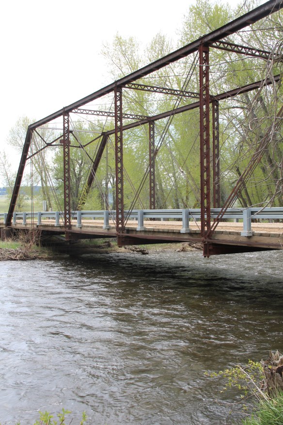
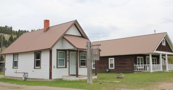 The next railroad town west is Avon, which is also at the junction of U.S. Highway 12 and Montana Highway 141 that takes travelers northwest toward the Blackfoot River. Like Elliston, Avon has several buildings to note, although the National Register-listed property is the historic steel truss bridge that crosses the Little Blackfoot River and then heads into ranch territory.
 The bridge is a Pratt pony truss, constructed in 1914 by contractor O.E. Peppard of Missoula, and little altered in the last 100 years. As the National Register nomination notes, the bridge’s camelback trusses are unusual and have not been documented in other Montana bridges from the early 20th century.
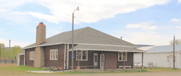
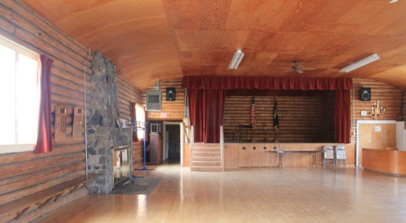
 Avon has another clearly National Register-worthy building in its 1941 community hall, a late New Deal era building, which has served the community in multiple ways, as a meeting place for the Avon Grange, a polling place, and a place for celebrations of all sorts, including stage presentations and bands.
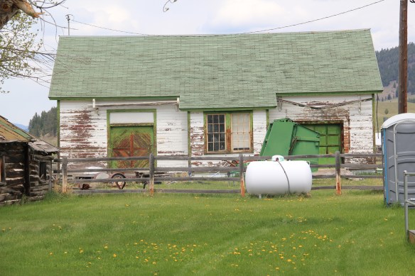
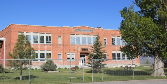
 The Avon School also has a New Deal era affiliation, with the Works Progress Administration. Although remodeled in the decades since, the school still conveys its early 20th century history.
 Avon even has its early 20th century passenger station for the Northern Pacific Railroad, although it has been moved off the tracks and repurposed for new uses.
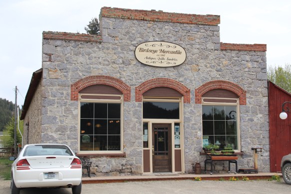
 In front of the depot is the turn of the 20th century St. Theodore’s Catholic Church. The historic Avon Community Church incorporates what appears to be a moved one-room school building as a wing to the original sanctuary.


 Another important property in Avon, but one I ignored in 1984-85, is the town cemetery, which also helps to document the community’s long history from the 1880s to today.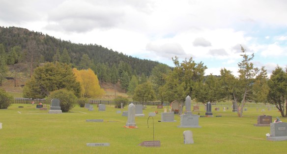
 Heading west from Avon on U.S. Highway 12 there are various places to stop and enjoy the river valley as it narrows as you approach Garrison. I always recalled this part fondly, for the beaverslide hay stackers–the first I encountered in Montana in 1981–and they are still there today, connecting the early livestock industry of the valley to the present.

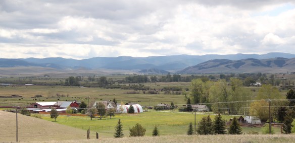 Montana Highway 1, the Pintler Scenic Route as I knew it during the 1984-85 state historic preservation plan survey, provides travelers with two distinct experiences. The southern half is a mining landscape, centered on the urban places of Anaconda and Philipsburg. The northern half is very agricultural, a place where cowboys and cowgirls still roam. It is one of my favorite parts of the state. Fret not, I won’t explore every nook and cranny but I will talk about three favorite places.
 First up is the village of Hall, which is north of Phillipsburg. The Northern Pacific Railroad ran its spur line from Drummond to Philipsburg through the middle of the valley, leaving Hall as the halfway stop between the larger towns. Just as in 1984, the old town bank still served as the post office. Hogan’s Store still stood near the railroad tracks and a lone grain elevator stood along the old railroad corridor.
 So too was the historic school at Hall still standing–in fact this c. 1920 brick building continues to serve local children as it has for decades. The same was true for the Stockman
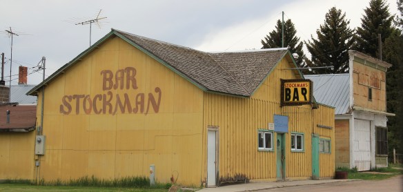 Bar–maybe not as old as the school building but not far behind and still in business despite the proximity to Drummond and Philipsburg. Then there is a wonderful piece of yard art in Hall–leaving no doubt about the primary agricultural product here.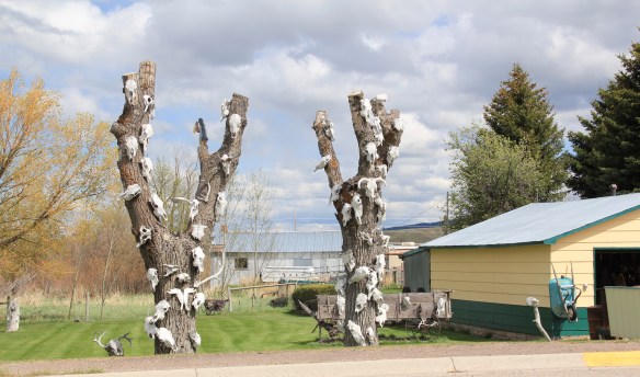
 As you travel north on Montana Highway 1 you next, unexpectedly, cross the historic Mullan Road, one of the oldest roads in the northwest. Parts of the road are graveled and graded, others are paved, but whatever the condition the road takes you to 19th century log
 buildings, even a dog-trot type log dwelling as well as the spectacular Valley Cemetery. I call it spectacular not for its cemetery art–although there is more than you would expect–but for its setting in the Flint Valley.

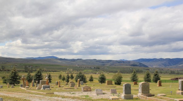 Wherever you look the vista is jaw dropping and can’t be that different than what Capt. Mullan and crew experienced in the late 1850s as they trekked this way. The Annie Milroy grave marker and statue (1912) speaks to the sadness that many homesteaders experienced as they tried to make a go of it in this demanding land.


 The nearby elaborate carving of the Bergman family marker is just another indication that this cemetery deserves additional, full research. (Not far away from Hall is the lone obelisk marker for the historic Emmitsburg Cemetery, another early settlement site.) My next post will finish the Pintler Scenic Route with a deep look at Drummond.
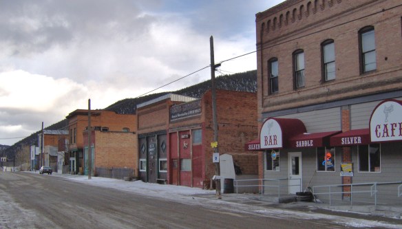 When I carried out the Montana State Historic Preservation Plan field work in 1984-1985 I passed through Basin Street in the heart of “downtown” Basin quite frequently, not because of the Silver Saddle Bar–fine place it is–but because I had no choice if headed
 The glory days of Basin had long since passed, although some locals and visitors would go to the Merry Widow Mine for a dose of radon, thinking it could cure their ills (of course radon exposure is actually dangerous). Led by the Butte capitalist Augustus Heinze, the town from the mid-1890s to mid-1920s had been a quite thriving place, served as both the Great Northern and Northern Pacific Railroads with its Basin Street becoming the route for U.S. Highway 91. The numerous two-story brick commercial buildings reflected that era of prominence while a decaying c. 1930 garage on the town’s outskirts documents the impact of the federal highway.
 Several key community landmarks remain. The most impressive is the two-story frame Basin School, built in 1895 and still in use as a school today. Here is another great Montana rural school building–the state is so rich in this type of public architecture.
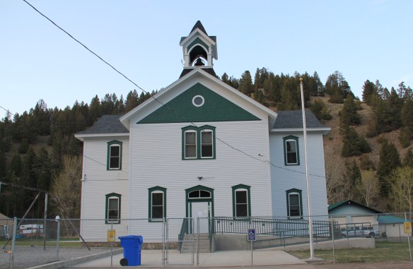 Nearby is the Community Church, another late Victorian-era styled building, with its tall bell tower and distinctive corner entrance.


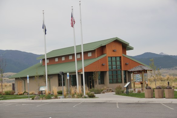
 Montana Highway 1, designated the Pintler Scenic Route, has long been one of my favorite roads. It was the first Montana road to be paved in its entirety. During the state historic preservation plan work of 1984-1985, I documented the route as U.S. 10A, but once government officials decided to decommission the U.S. 10 designation in 1986, the name U.S. 10A also went away. t. In its early decades the route had passed through Opportunity to Anonconda onto Phillipsburg and then Drummond, but for all of my time in Montana, the highway has gone from Interstate I-90, Anaconda/Opportunity exit to the west and then north to the Drummond exit on the same interstate. There is a new 21st century rest stop center at the Anaconda I-90 exit that has a Montana Department of Transportation marker about the mountain ranges and the Pintler route.
 The town of Opportunity was not a priority for my travels in 1984-1985 but recent scholarship on how local residents have fought back against the decades of pollution from Anaconda’s Washoe Stack led me to give this small town of 500 a new look. The book is Brad Tyer’s Opportunity, Montana: Big Copper, Bad Water, and the Burial of an American Landscape (2014). Tyler details how the success of Anaconda also meant the sacrifice of thousands of surrounding acres to the pollution belching daily from the Washoe Stack until it closed in 1981. He then reviews in detail how in the 21st century, EPA heaped a new disaster on the town by moving Milltown wastes from the Clark’s Fork River near Missoula to Opportunity, telling locals that the Milltown soil would be new top soil for Opportunity. The environmental solution didn’t work, leaving the town in worse shape than before.
 Opportunity residents got a small fraction of SuperFund monies for the environmental cleanup in the form of Beaver Creek park. But the centerpiece of the park, the Opportunity School built for residents in 1914 by the Anaconda Company, has been mothballed for now. It operated from 1914 until the smelter ceased operations in 1981 and
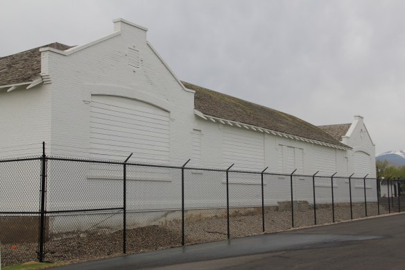 served as the community’s focal point. Restoration of the school is problematic due to the prior use of asbestos, meaning the federally funded park is only partially finished since the SuperFund support is now gone.



 Sitting at 6,425 feet in elevation Georgetown Lake covers over 3700 acres. Today it is very much a recreational landscape but when it was created in 1885 its job was to generate electrical power for the nearby mines since it stood roughly equal distance between


 As the state highway historical marker above documents, this high country area was another mining region. With an vantage point above the lake, Southern Cross is a significant remnant of the mining activities from the early 20th century. The mines here
 began operation in the mid-1860s and production continued for until World War II. The settlement was largely Finnish and Swedish in the early 20th century when most of the remaining buildings were constructed.


 When most people think of Ravalli County they think of the ever suburbanizing northern half, as you take U.S. Highway 93 south–a four lane highway–from Missoula and encounter the new suburbs of Florence. But if you use U.S. Highway 93 from the southern end, you find a very different place, one that starts with Ross’ Hole.
 There are few more beautiful places in the state, even on this cloudy day in 2012, the hole beckoned, as it has for centuries. In western American history, its importance has multiple layers, from ancient Native American uses to the peaceful encounter between Flathead Indians and the Lewis and Clark Expedition in 1805. Without the horses the expedition acquired from the Flathead, its journey would have been much more difficult, if not impossible.
 Montana “cowboy” artist Charles M. Russell painted the scene as a prominent historical mural in the House of Representatives chamber at the Montana State Capitol in 1912. His composition, as I used to like to point out when I gave state capitol tours in 1982, emphasized the centrality of the Native Americans in the region–the expedition were minor characters, in the background of the painting’s right side. The place name Ross’s Hole refers to Hudson Bay Company trader Alexander Ross who traded there in 1824. Hole was a trader and trapper term for mountain valley.
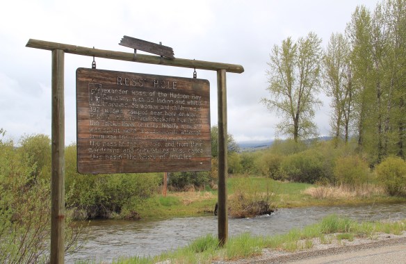 At the time of the 1984 survey, Ross’ Hole was interpreted by this single wooden sign, now much worse for the wear of the decades. But like many important landscapes in the state, today you find a rather full public interpretation in a series of markers sponsored by the Montana Department of Transportation, the U.S. Forest Service, and the Lewis and Clark National Historic Trail.


 Any trip to Ross’ Hole would not be complete with a stop, however brief, at the roadside architecture-a log bungalow–home to the Sula Community Store, which can basically provide you with about anything you might need while traveling on U.S. Highway 93.
 And the coffee is always hot, and strong.
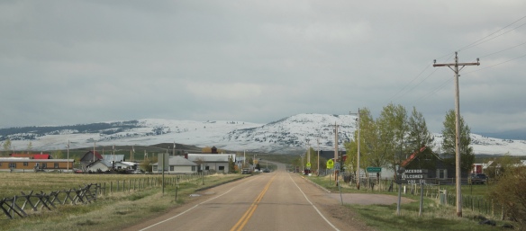 Jackson, Montana, is another favorite place of mine in Beaverhead County. Located on Montana Highway 278, far away from any neighborhoods, the town dates to the 1880s, as
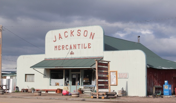 this area of the Big Hole Valley opened up to ranching. Its name came from Anton Jackson, the first postmaster; the town still has a historic post office building even though its

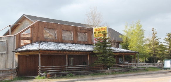
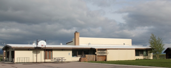 Jackson grows significantly during the winter, as it is an increasingly popular winter get-away destination, centered on the historic Jackson Hot Springs, which had been upgraded and significantly expanded since my last visit in 1984.
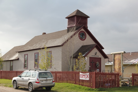
 But my real reason to tout the wonders of Jackson, Montana, lie with a simple but rather unique adaptive reuse project. A turn of the 20th century church building has been converted into a hat manufacturer business, the Buffalo Gal Hat Shop–and I like hats!
 Grant is another ranching town along a Montana secondary highway, this time Montana Highway 324. Like Jackson, it too has enough year-round residents and children from nearby ranches to support a school, a tiny modernist style building while an older early 20th century school building has become a community center.

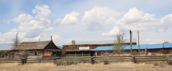 Back when I visited in 1984, Monte Elliott (only the third owner of the property he claimed) showed off his recent improvements made within the context of a business location that dated to the Civil War era. The lodge still keeps records from those early days that they share with interested visitors. In the 21st century, new owner Jason Vose additionally upgraded the facilities, but kept the business’s pride in its past as he further expanded its offerings to hunters and travelers.
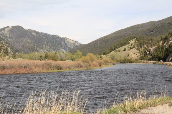 Far to the north along Montana Highway 43 is the Big Horn River Canyon, a spectacular but little known landscape within the state. Certainly anglers and hunters visited here, but the two towns along the river in this northern end of Beaverhead County are tiny places, best known perhaps for their bars as any thing else.


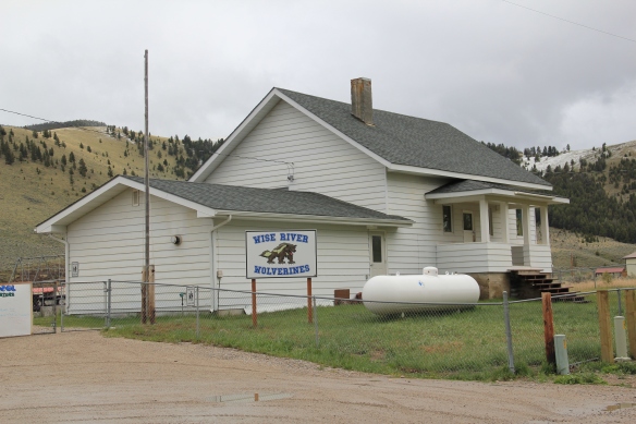 Just as important as a town anchor is the Wise River Community Center, which began in the gable-front frame building as the Wise River Woman’s Club but has expanded over the last 30 years into the larger building you find today.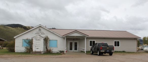
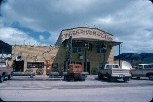 The liveliness of that 1984 exterior–note the mini-totem pole, the log benches, wagon wheels, and yes the many antlers defining the front wall–is muted in today’s building.
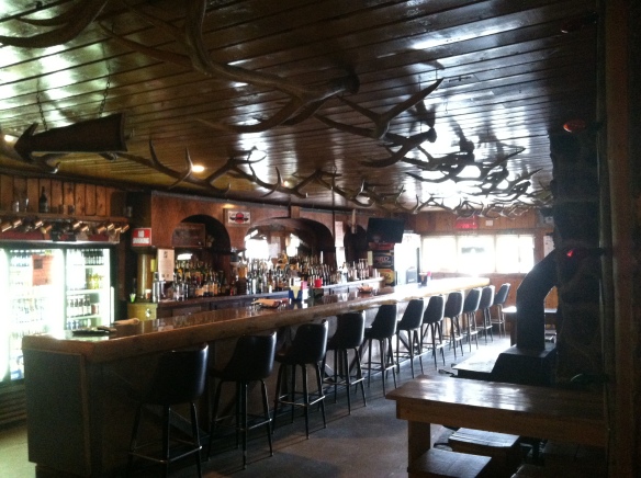
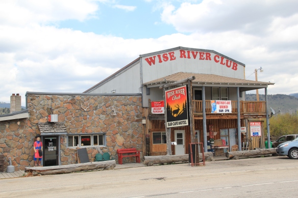 But the place is still there, serving locals and travelers, and a good number of the antlers now grace the main room of the bar.
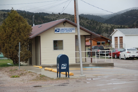
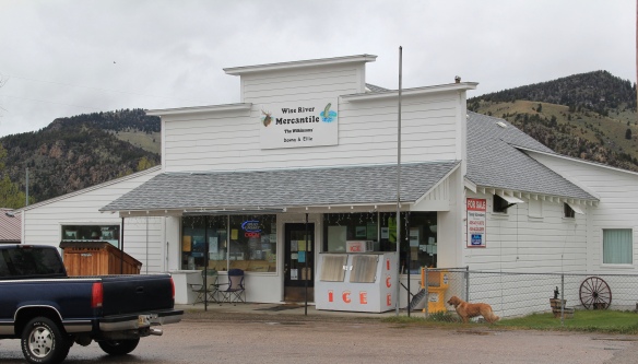
 Wise River, unlike Dewey but similar to Jackson, has been able to keep its historic general store in business. The post office moved out in the 1990s to the new separate building but the flag pole remains outside to mark how this building also served both private and public functions.
 The country towns of Beaverhead County help to landmark the agricultural history of this place, and how such a huge county as this one could still nurture tiny urban oases. Next I will leave the rural landscape and look at Beayerhead’s one true urban landscape–the county seat of Dillon.
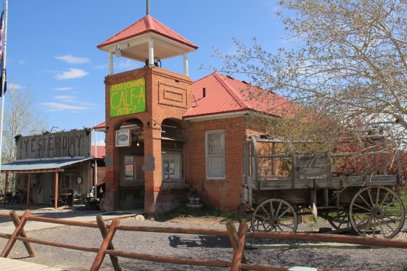
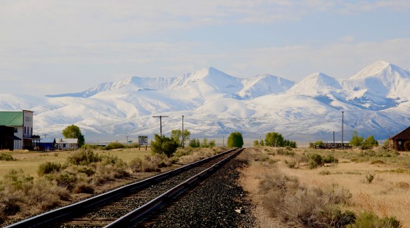
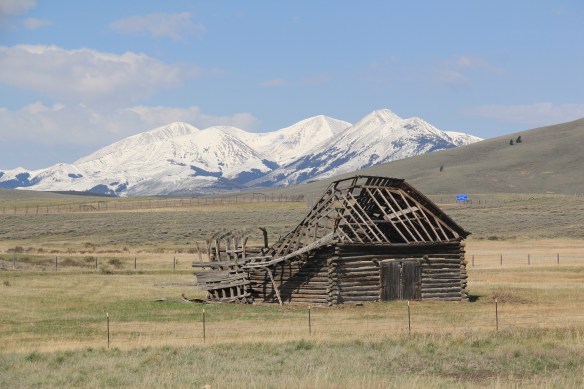 Let’s start this theme with the railroad/ federal highway towns. Monida, at the state border with Idaho, is a good place to start, first established as a place on the Utah and Northern Railroad line as it moved north toward the mines at Butte in 1881. Monica had a second life as a highway stop on the old U.S. Highway 91 that paralleled the tracks, as evident in the old garages left behind.


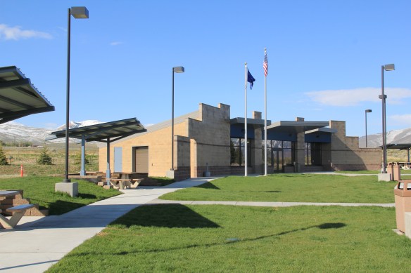 which possesses a Montana welcome center and rest stop. That’s important because at this stop you also can find one of the state’s mid-20th century examples of a tourist welcome center, which has been moved to this stop and then interpreted as part of the state’s evolving roadside architecture.




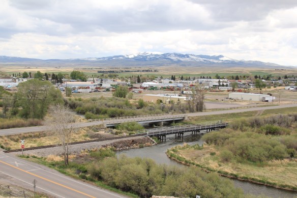
 The reclamation project, which stored water for irrigation, also covered the site of Camp Fortunate, a very important place within the larger narrative of the Lewis and Clark Expedition and its relationships and negotiations with the Shoshone Indians. An early




 My first trip to Beaverhead County in 1981 had two primary goals–and the first was to explore Bannack, the roots of Montana Territory, and one of its best connections to Civil War America. As this simple wooden sign below remarks, here in 1862 the first gold strike in what became Montana Territory occurred.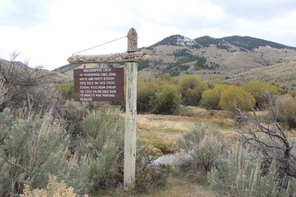
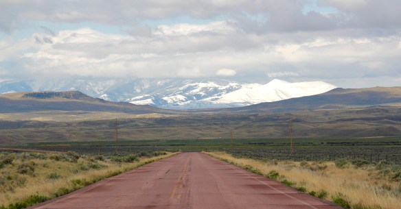 a path because the glistening bits of metal loose in the sands of the creek had never interested the Native Americans but news of the find was enough to drive easterners, many of them southerners, away from the landscape of war and into a wholly different place, crested by beautiful mountains.
 Grasshopper Creek was not much of place then, and even now, but this stream of water became the source of a boom that eventually reshaped the boundaries of the northern Rockies and nearby its banks grew the town of Bannack, a name taken in part from the Bannock Indians who had used this landscape in far different ways for many years.
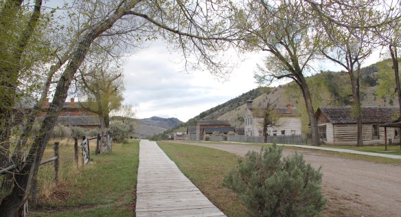 The story of the preservation of Bannock begins with local land owners, who protected the site, and kept most of the buildings from being scattered across the region. There was little official interest in the place at first. The state Daughters of American Revolution
 marked it in 1925, otherwise the buildings remained, some in use as residences or for public purposes, others melting away in the demanding climate. The Boveys moved the Goodrich Hotel to their preservation project at Virginia City and transformed it into the Fairweather Inn, which is still in use as lodging.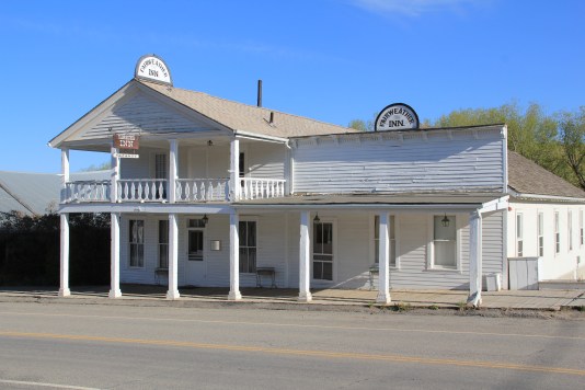
 In 1954, the Beaverhead County Historical Society transferred about 1/3 of the present property to the state for protection and development as a state park. Not until 1961 did the National Park Service recognize the town as a National Historic Landmark.


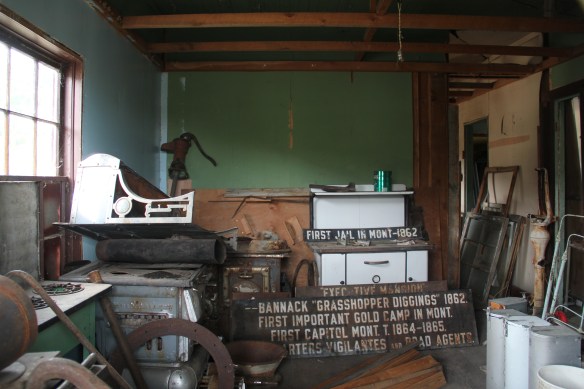 Gritty, dusty, forlorn: yes, Bannack is the real deal for anyone wanting to explore ground zero of the gold rush era in Montana, and to think about how in the midst of the great Civil War, federal officials found time to support adventurous citizens to launch a new territory in forgotten expanses of the northern Rockies.
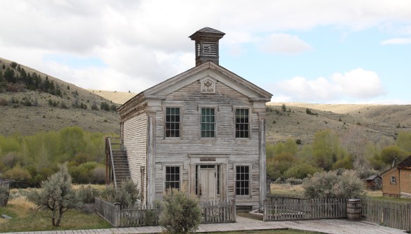 I thought that 30 years ago I “got” Bannack–there wasn’t much that I missed here. I was wrong. Probably like thousands of other visitors who fly into the town, and leave just as quickly, I missed what is still called the “new” town cemetery. Almost hidden in the sagebrush along Bannack Road, the “new” cemetery is not Boot Hill–where is Plummer
 buried people still want to know–but it is a remarkable place of hand-carved tombstones, others rich with Victorian imagery, and a few that are poignant reminders of the Civil War veterans who came here and stayed.


 Pony, as a gateway into the Tobacco Root Mountains, may be categorized as a ghost town in much of today’s literature about Montana, but it certainly has a lot of real people hanging around to be a ghost town. Established during the gold rush decade of the 1860s, mines here stayed in operation until World War II, and consequently, a wide range of historic buildings remain in the town today.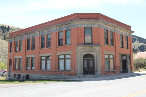


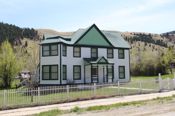 Yes, Pony has a park, another of positive developments since my work in 1984-1985. The park is not only community space, but it also has various artifacts and machinery from the mining era, along with public interpretation of the district’s history and of the artifacts within the park.