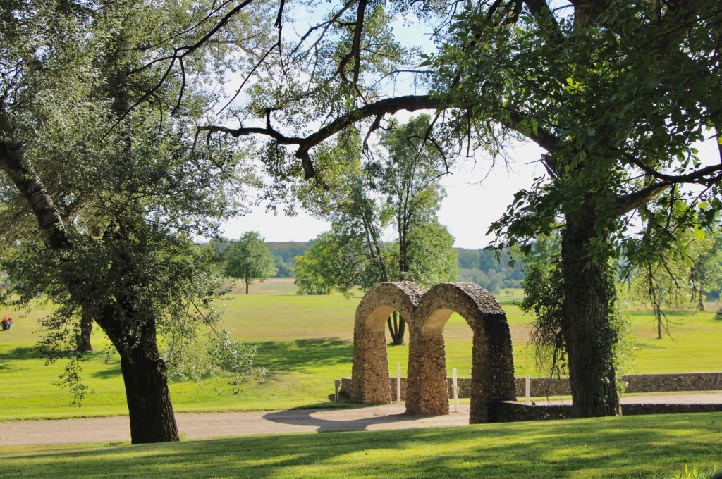
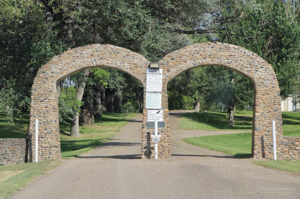
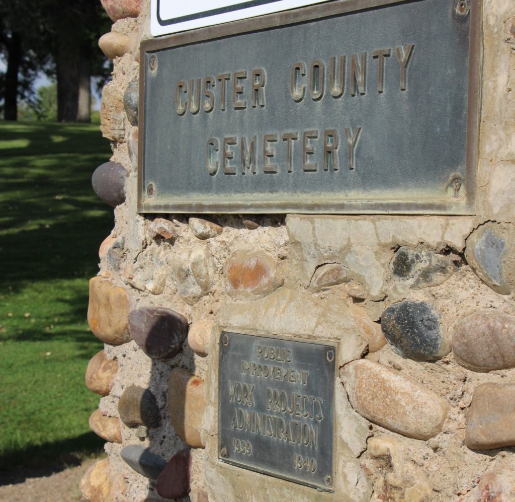
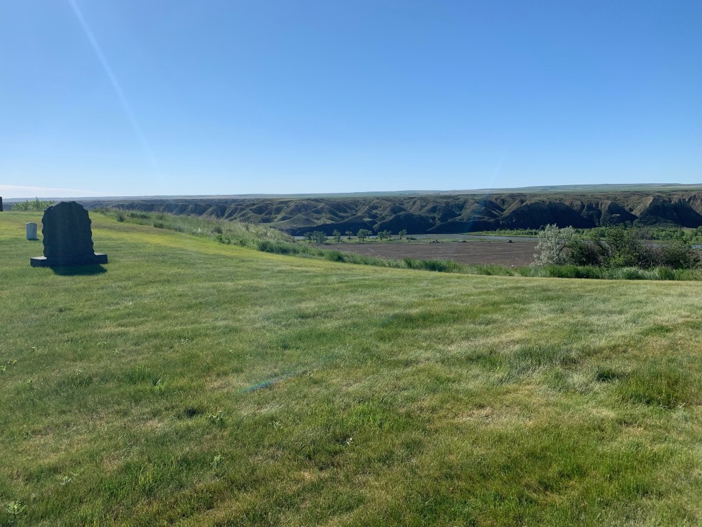
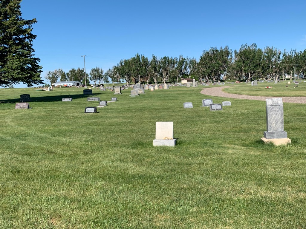
About 13 years ago, I made a quick stop at the Mountain View Cemetery in Big Timber. Located south of the interstate exit, next to the local historical society museum, the cemetery’s well crafted stone gates, walls, and stone office dated to a Works Projects Administration undertaking in the late 1930s.
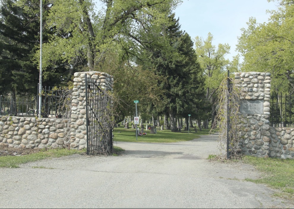
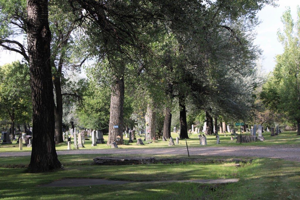
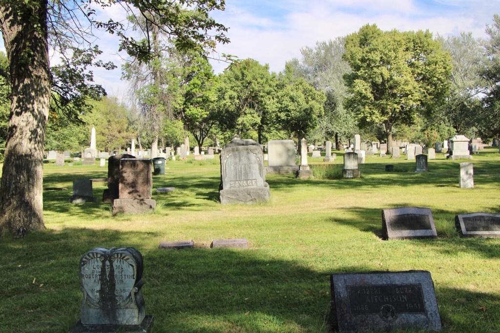
Thirteen years later, in the summer of 2026, I took the time to explore beyond the gates and found a quite fascinating place, full of interesting grave markers and stories.
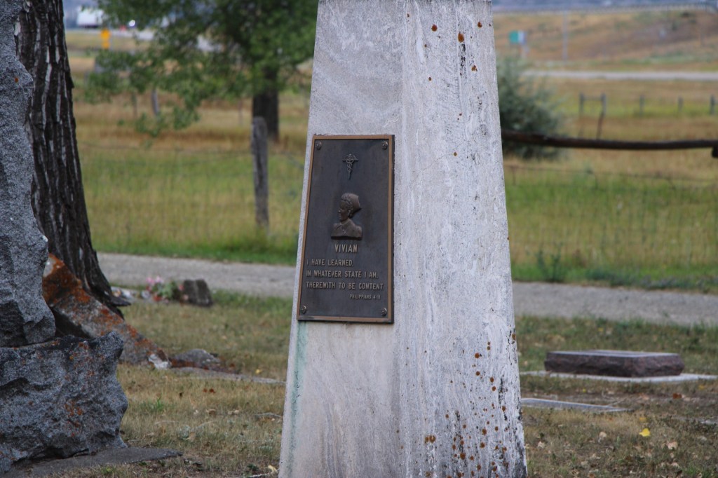
On the north side of the cemetery is a tall concrete obelisk dedicated to Vivian Ogilvie, who died in 1967. A native of Sweet Grass County, she graduated from high school and then worked on ranches around Melville. In about 1935 she moved to California to train as a nurse and made her career there before returning with her husband George Ogilvie to Big Timber in 1964.
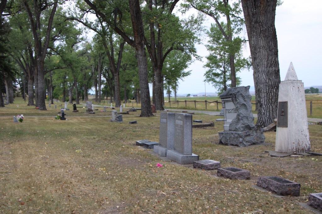
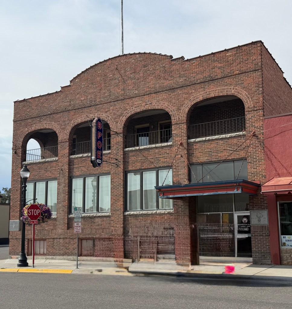
Adjacent to the Ogilvie markers is a large ornate granite marker for Santos Forsythe, who grew up in the Melville area. He died in 1918, at the age of 30. A member of the Elk lodge in Livingston, he received a heartfelt goodbye from his fellow Elk members at his funeral.
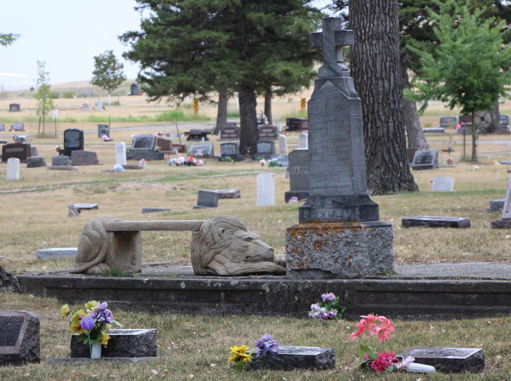
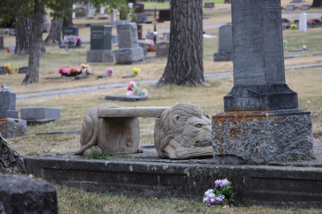
I next moved to the center of the cemetery to pay respects at the Hickman family, erected following the tragic and horrific death of Nellie Hickman and two children at their Sweetgrass County ranch.
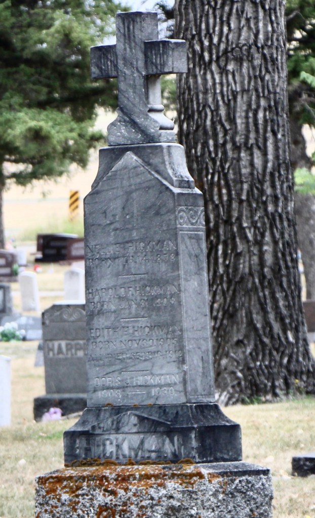
But much to my surprise—you had to rub your eyes—there was a new piece of cemetery furniture installed at the Hickman marker. On the east side was a bench in the shape of a lion. I have never seen anything like it in a Montana cemetery.
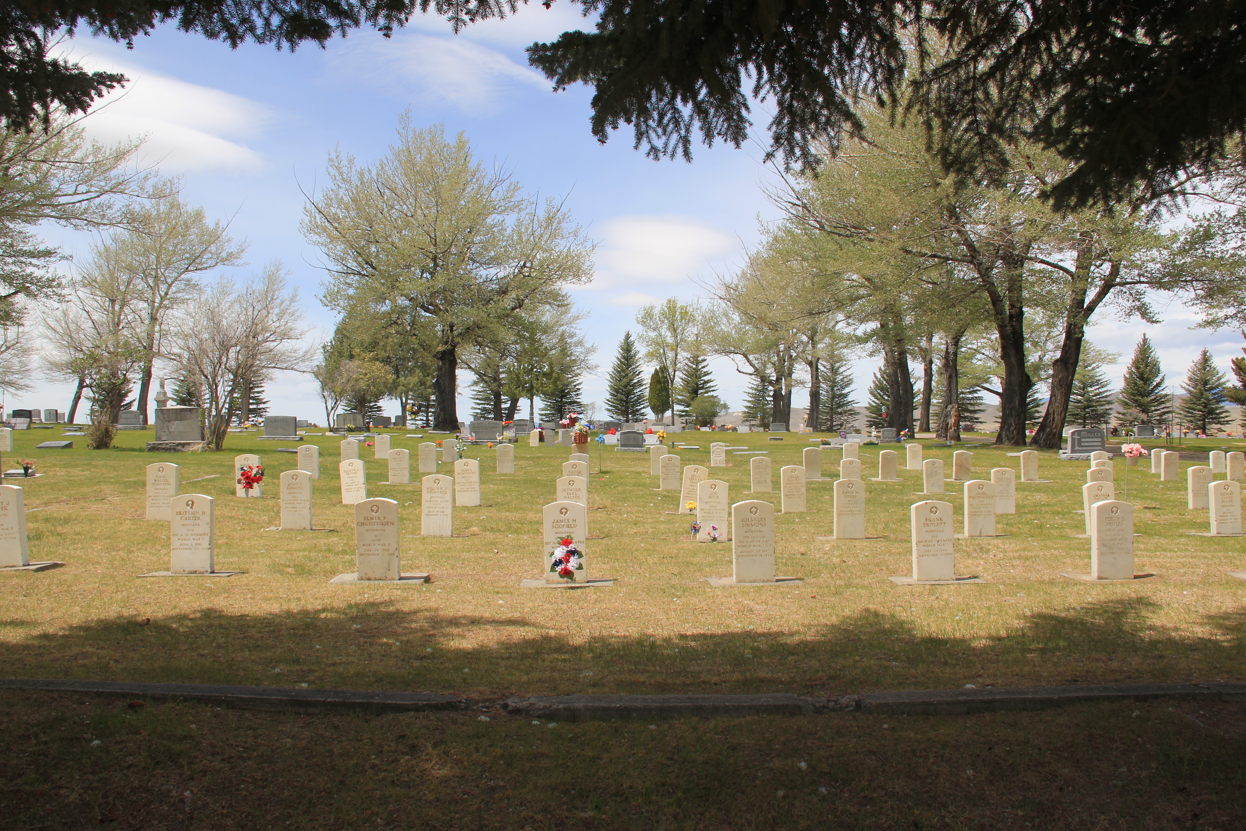
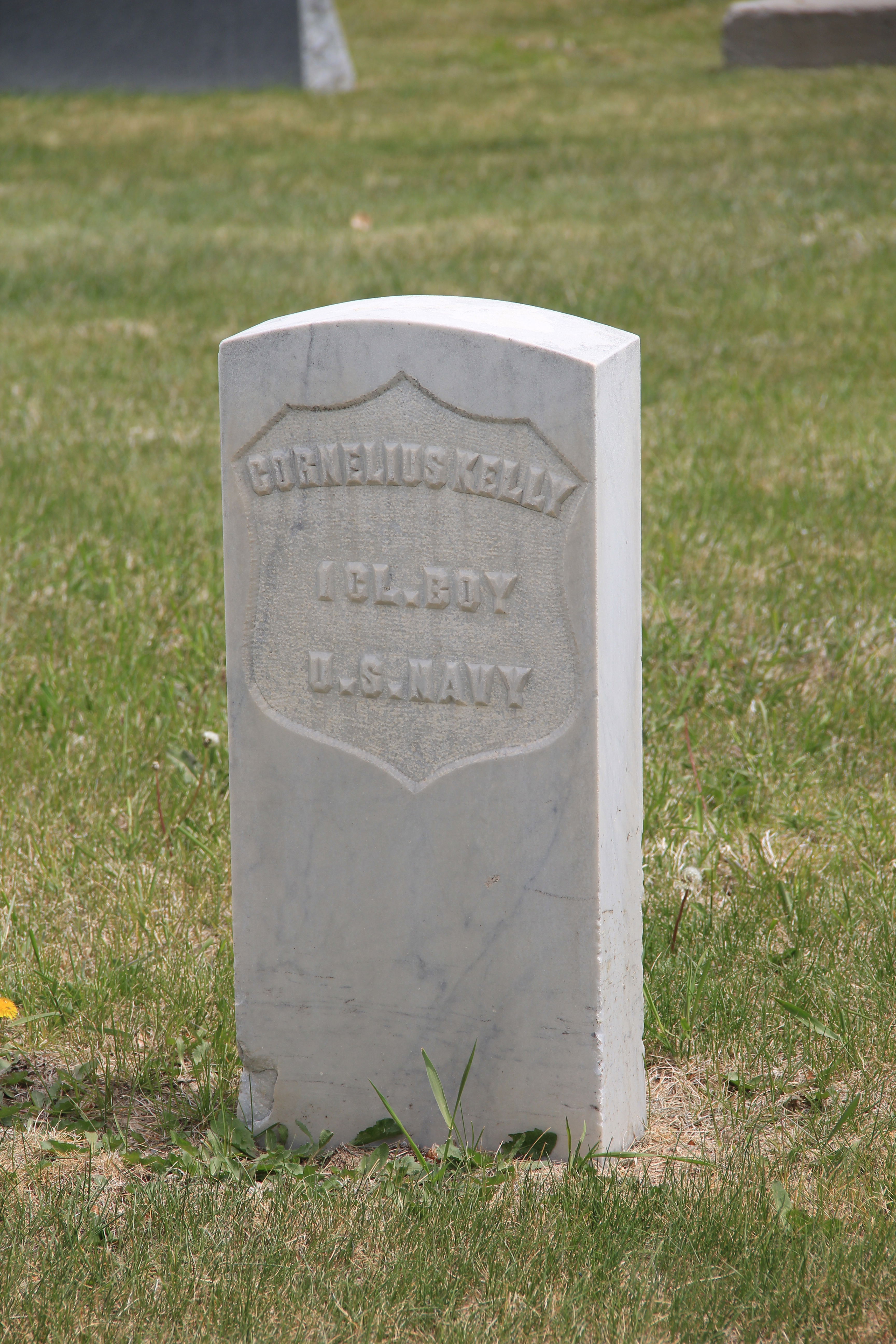
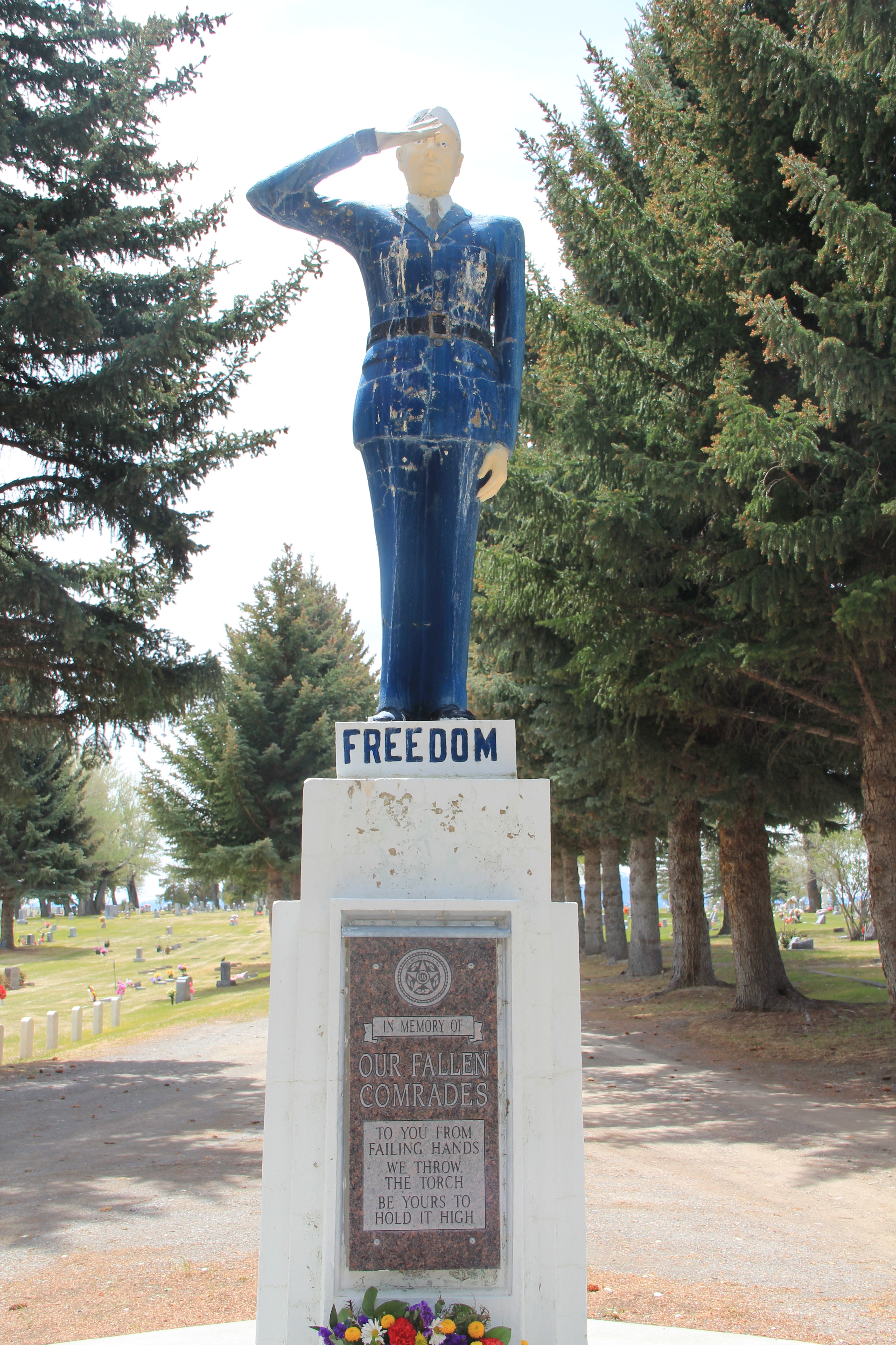
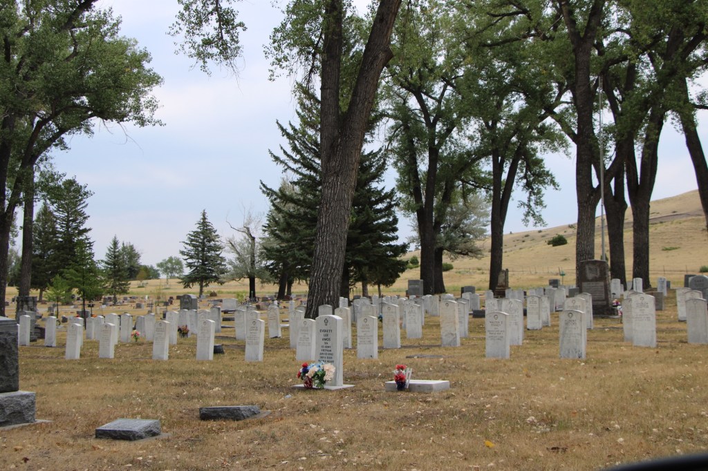
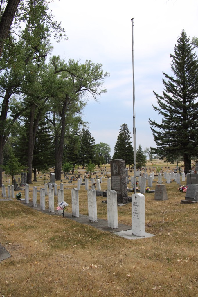
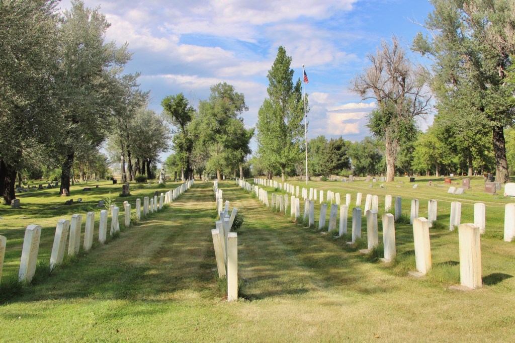
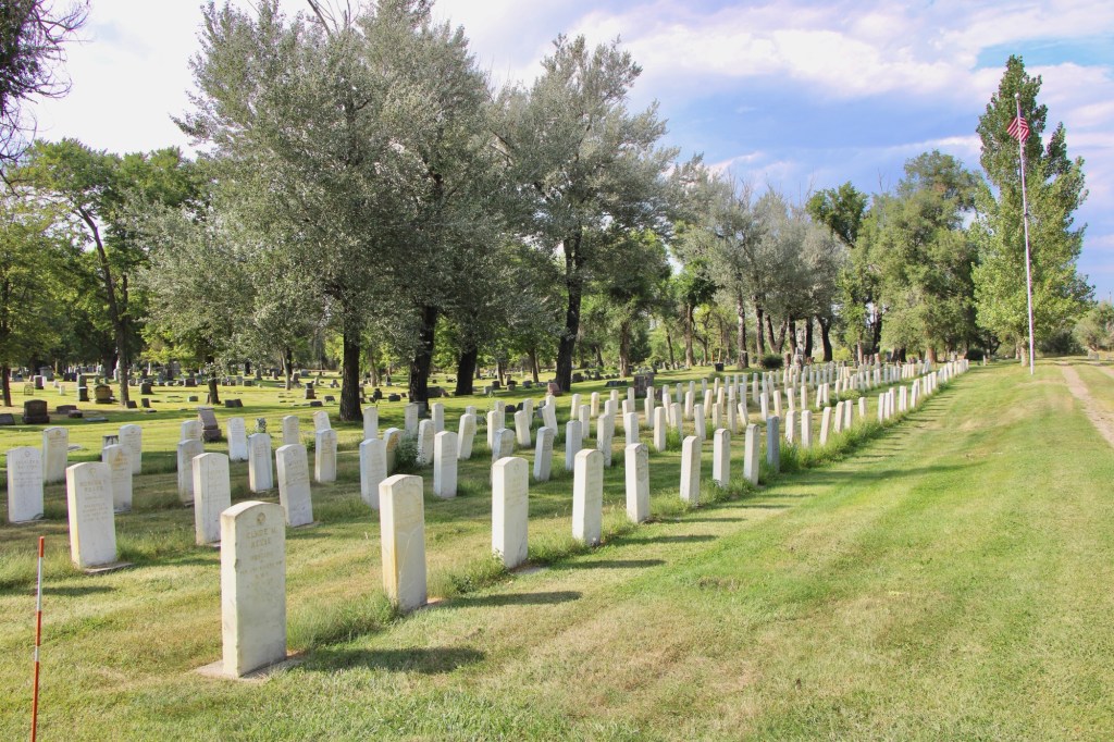
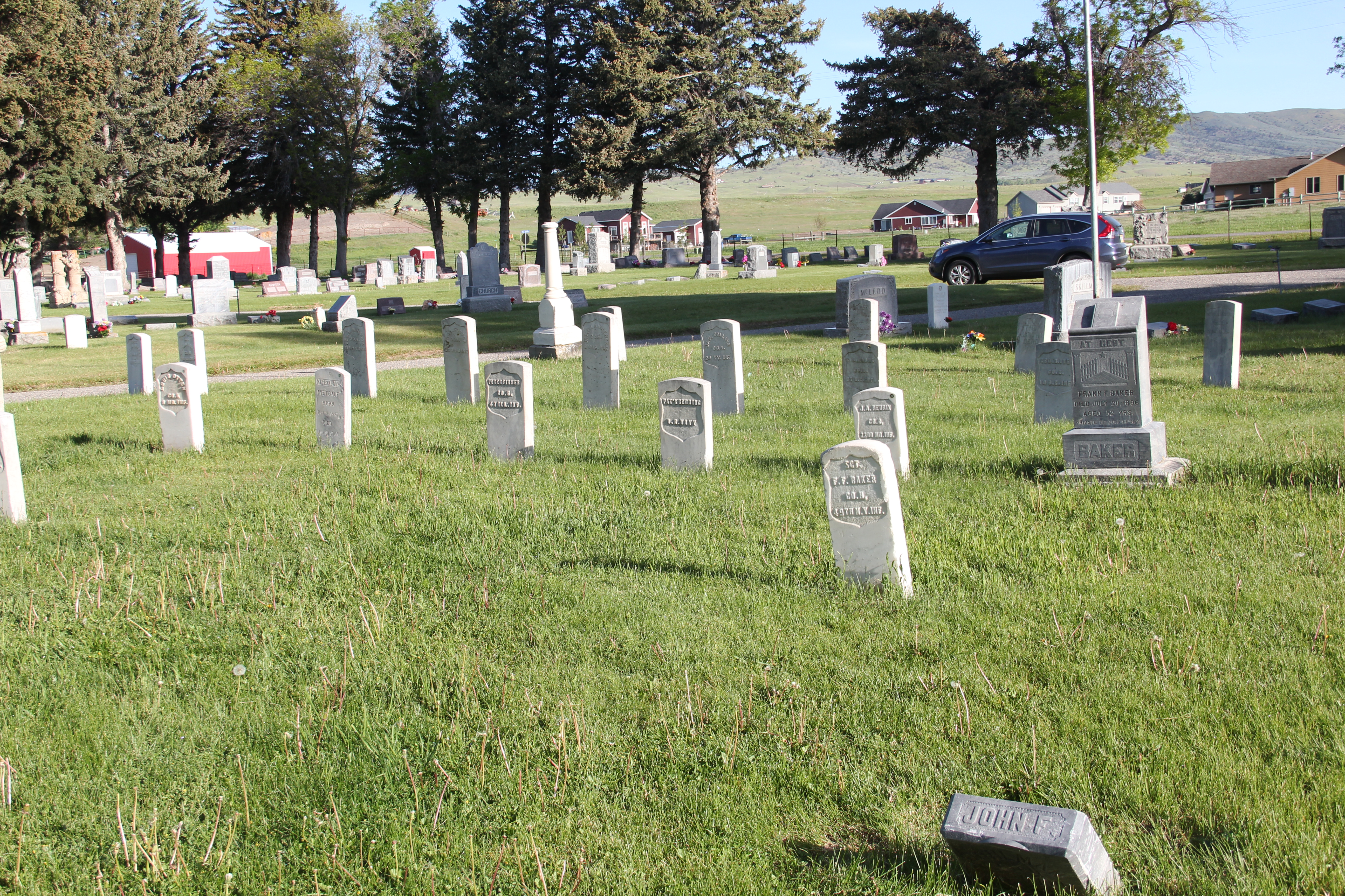
The dedicated veterans section is near the west end of the cemetery. The local American Legion chapter established this humble, respectful section in 1950.
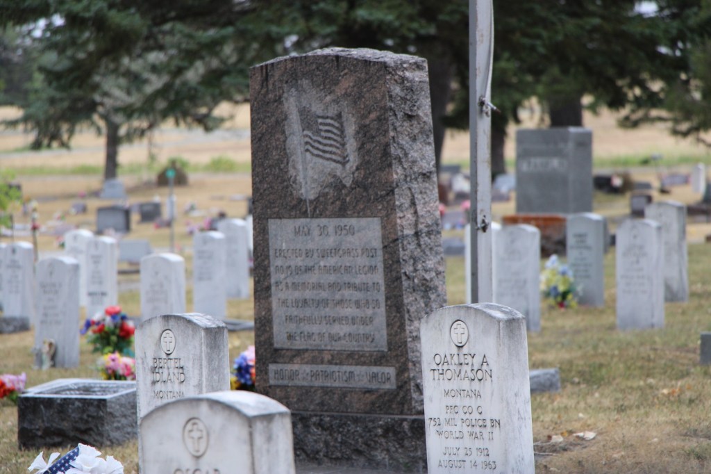
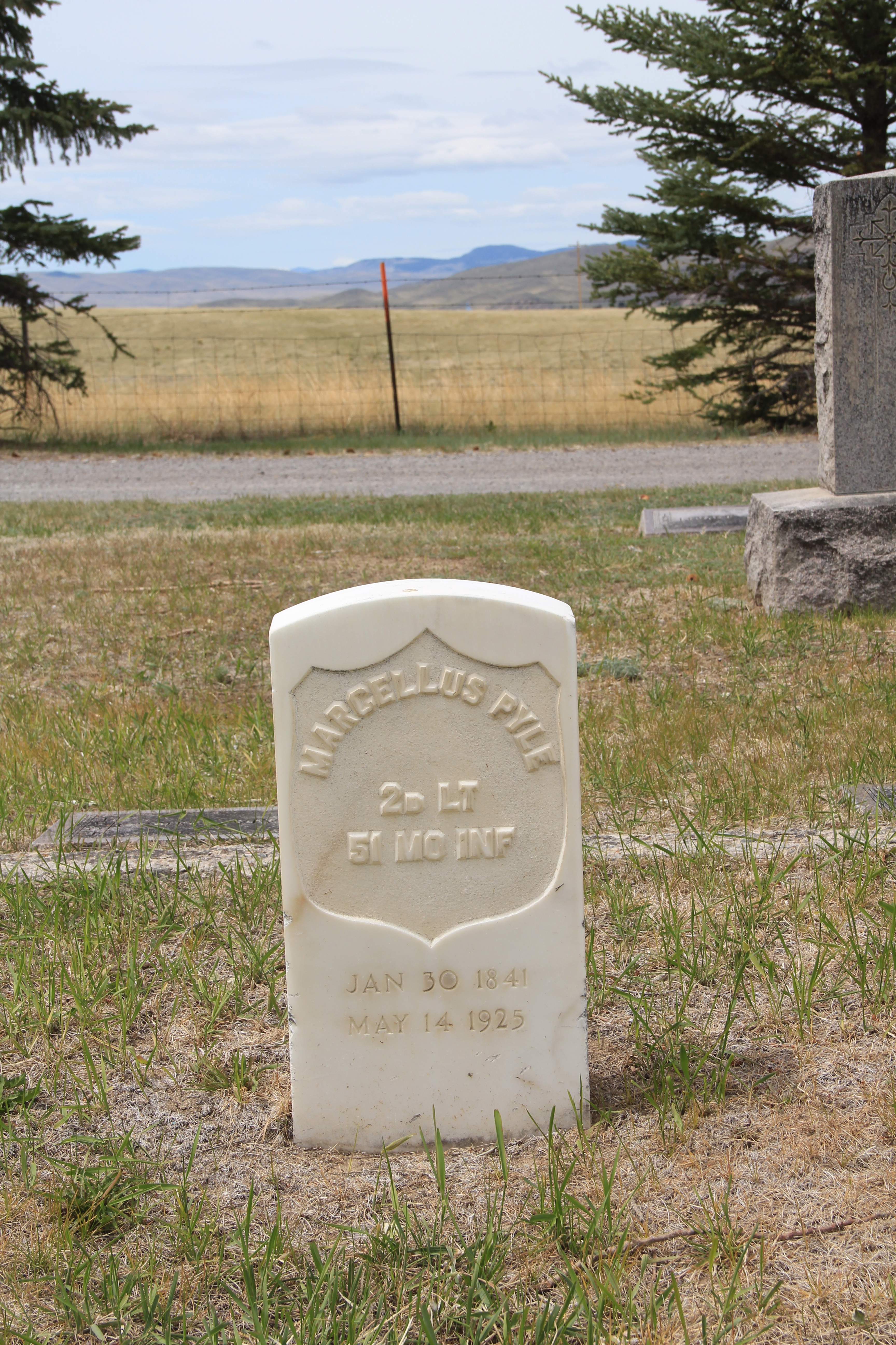
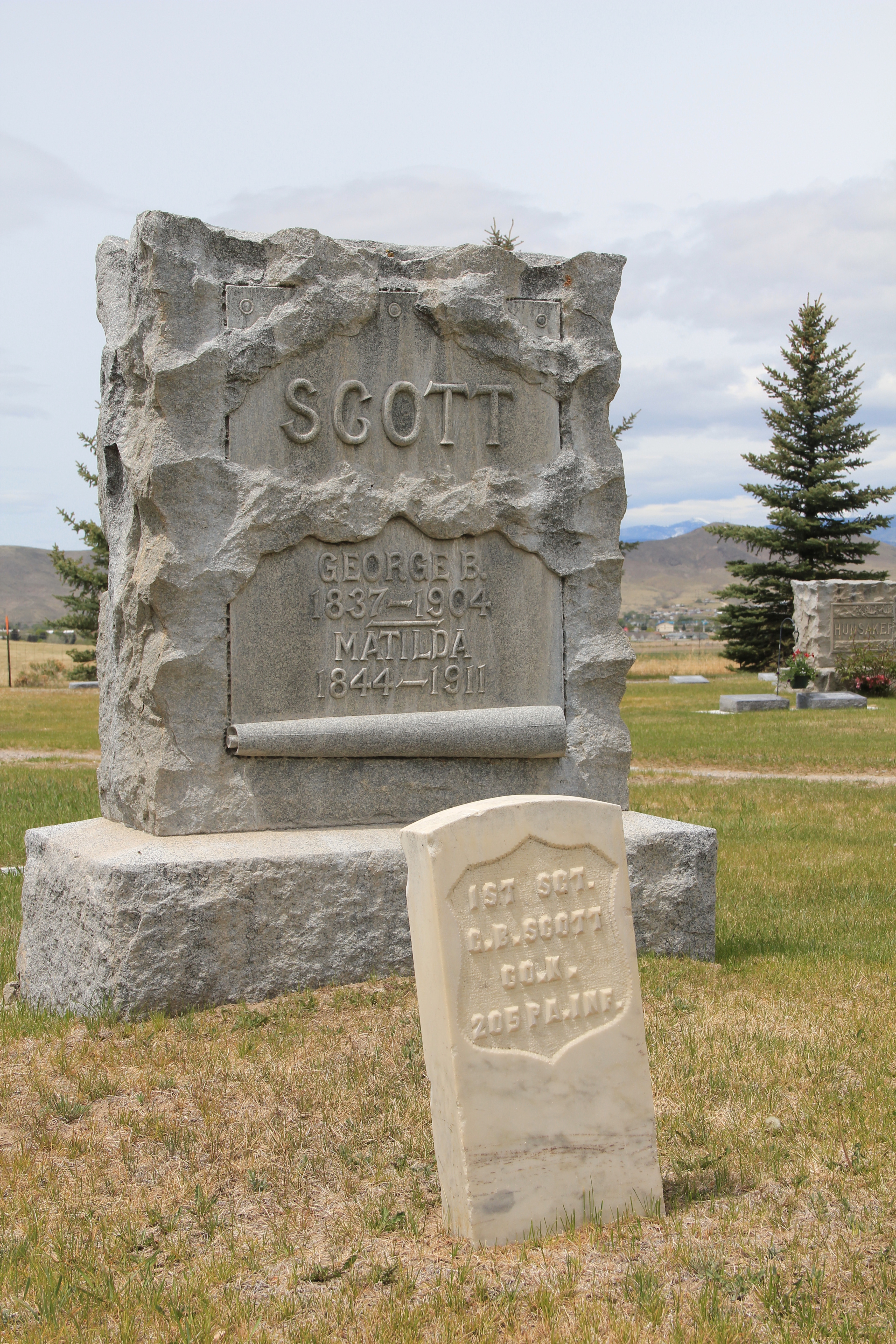
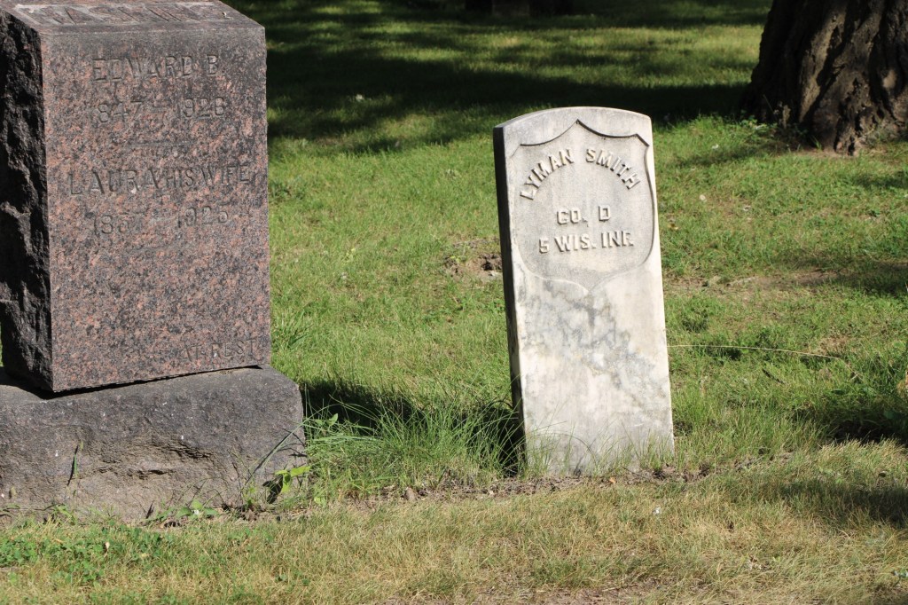
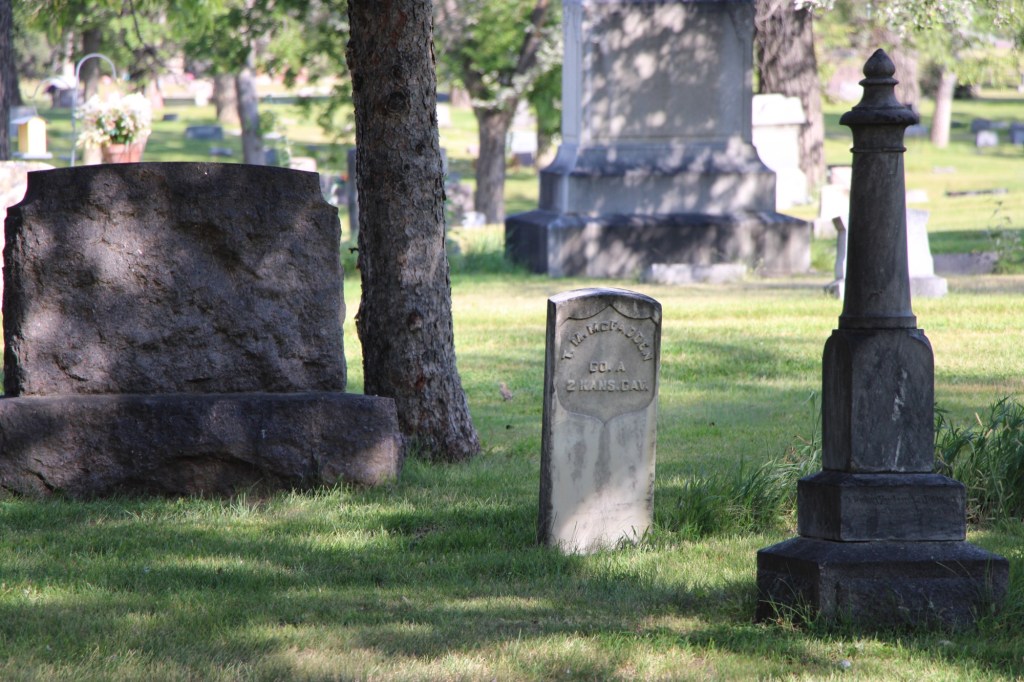
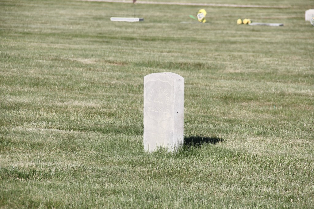
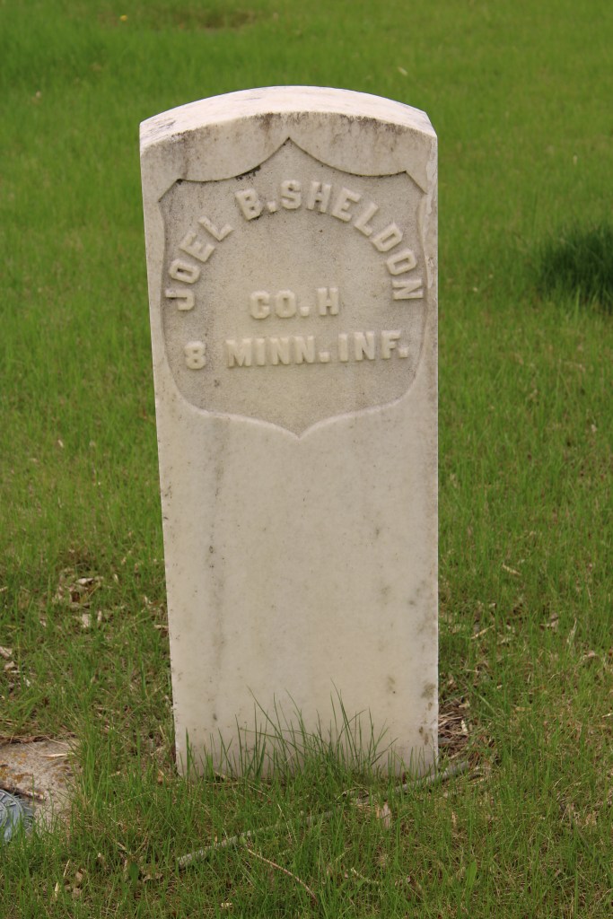
U.S. veterans from the Civil War era are also found in earlier sections of the cemetery. Peter McMartin served in a Colorado unit. James Woods served in. West Virginia unit.
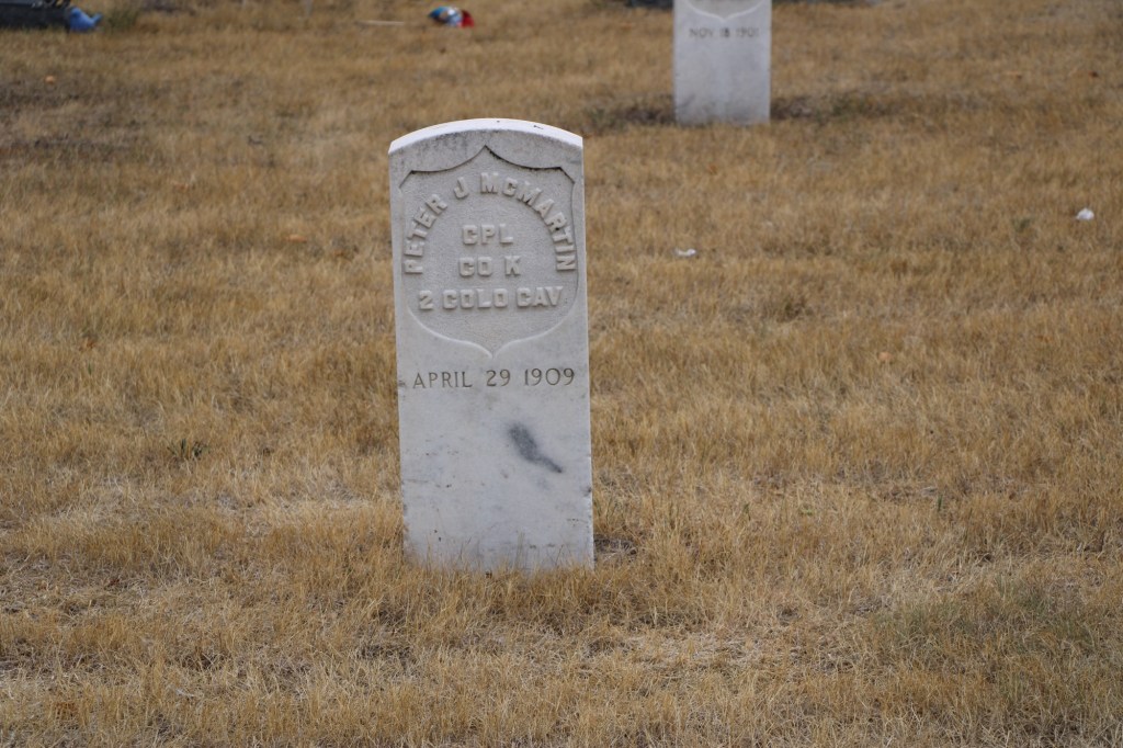
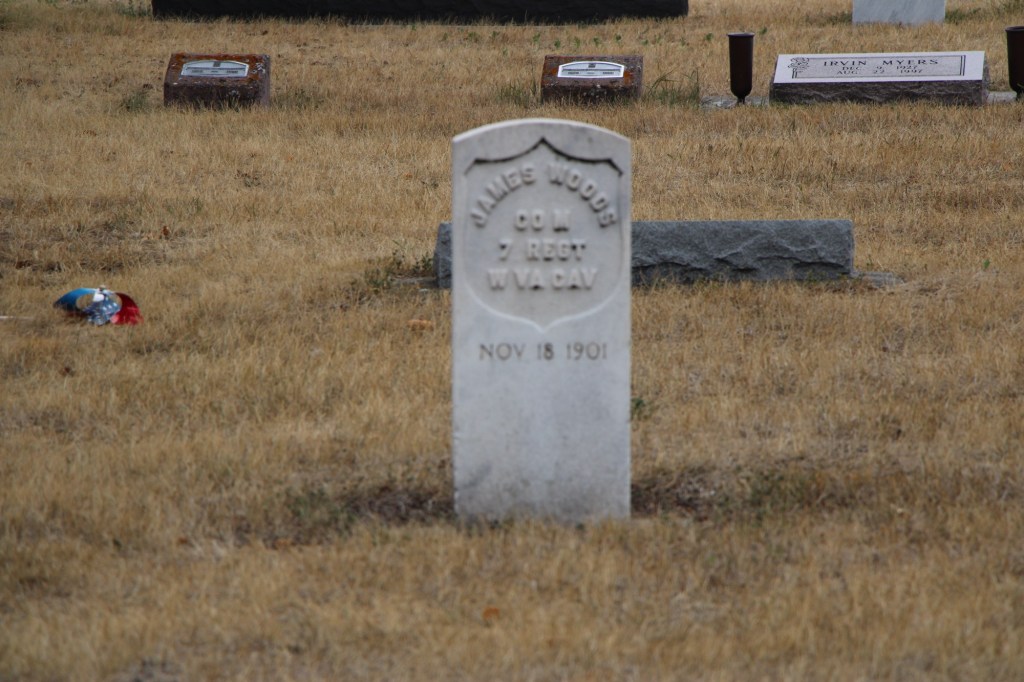
McMaster worked as a sheep herder in the county. He died in 1909. Woods left the South after the war and farmed in Minnesota marrying his wife Elizabeth in 1873. They were still in Minnesota in 1880 but after the construction of the Northern pacific railroad they moved west. Woods died in 1901.
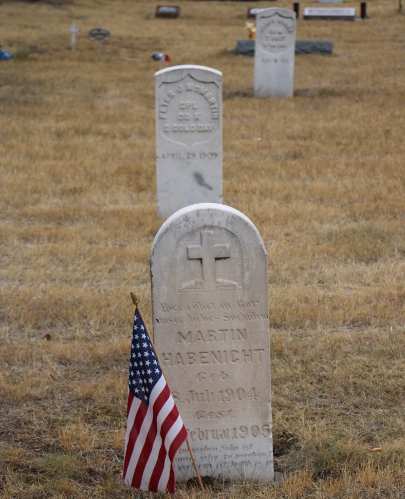
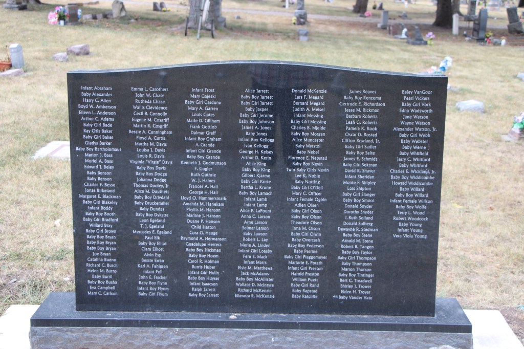
Nearby the two veterans is a beautifully carved child’s grave marker, Martin Habenicht who died only eight months old. Not far way, also in the cemetery’s west end, is a modern monument, to all of the children buried in the cemetery who did not have a tombstone.
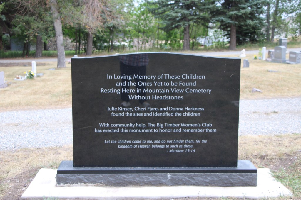
What a commendable effort to identify all of these children! One side credits the hard work of three women and the support of the Big Timber Women’s Club. The children names are on the reverse side.
The cemetery is well maintained and watered. It is a restful place to visit although traffic noise from the nearby interstate interrupts quiet reflection.
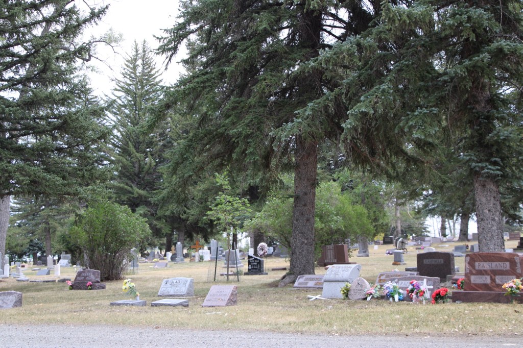
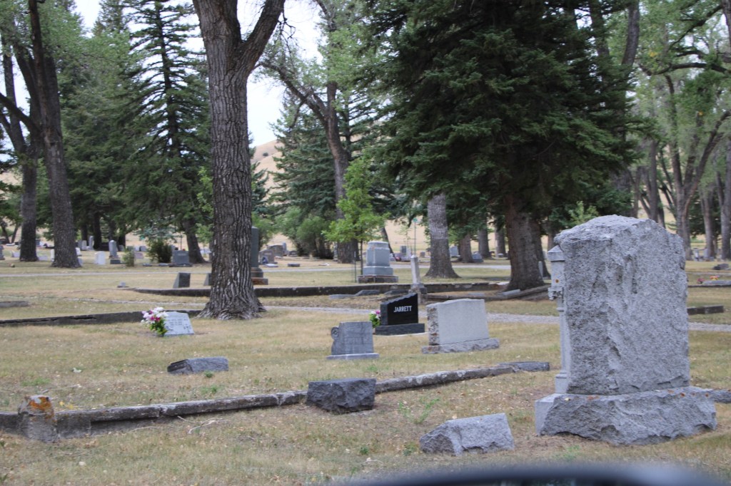
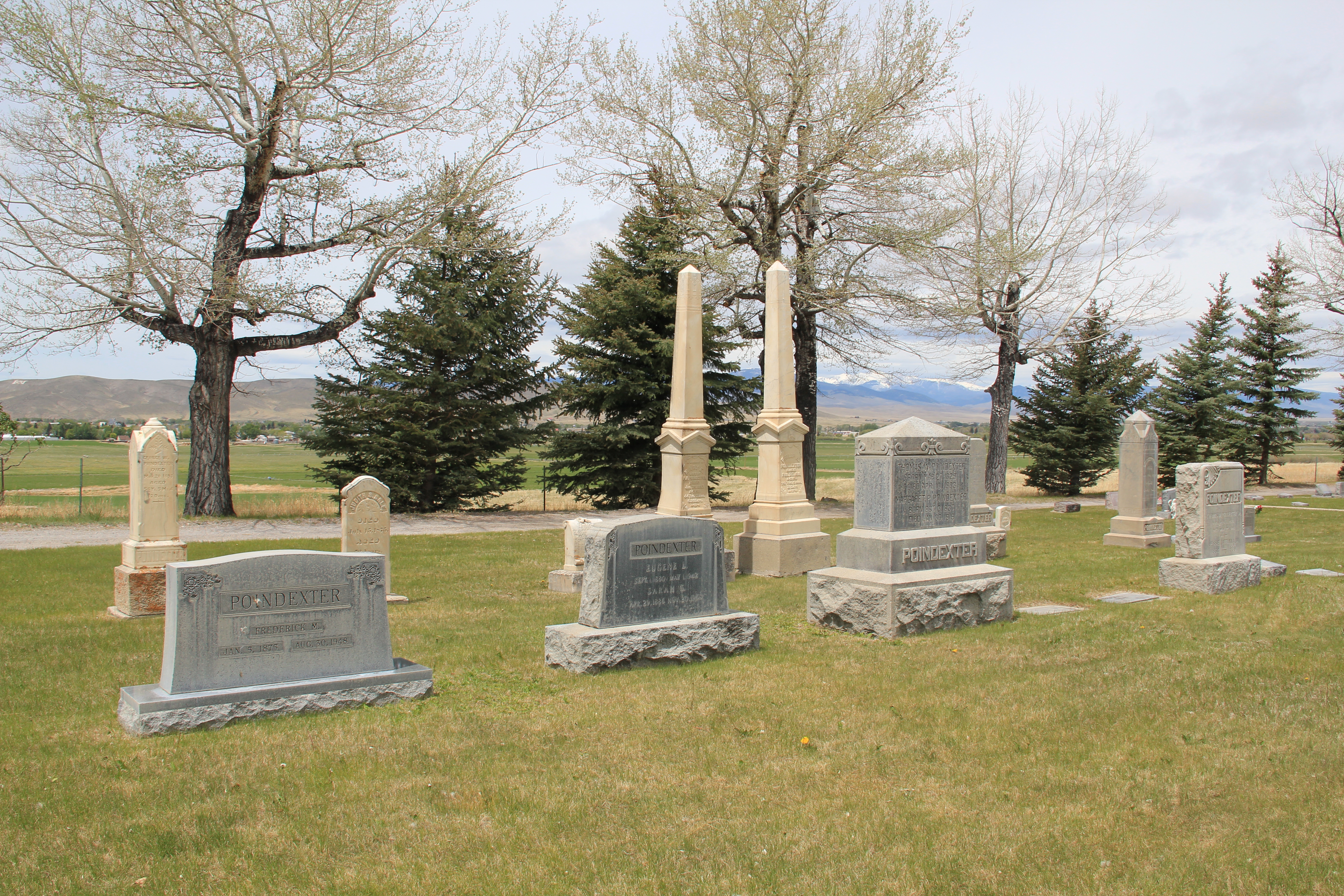
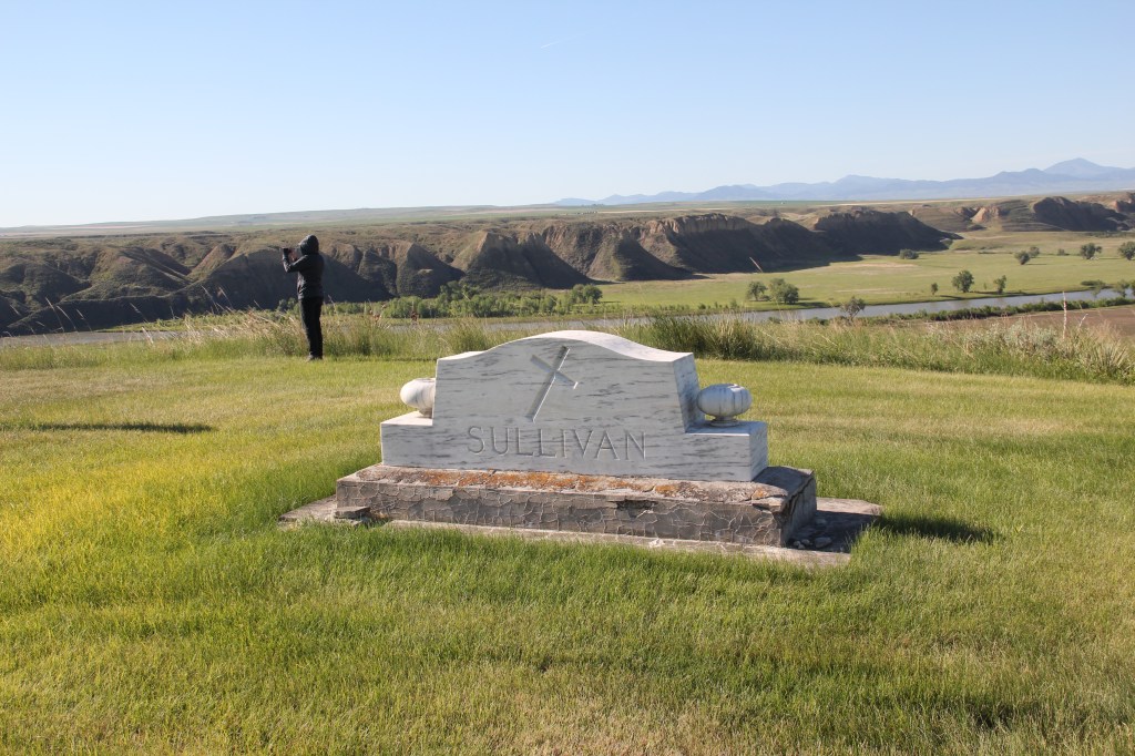
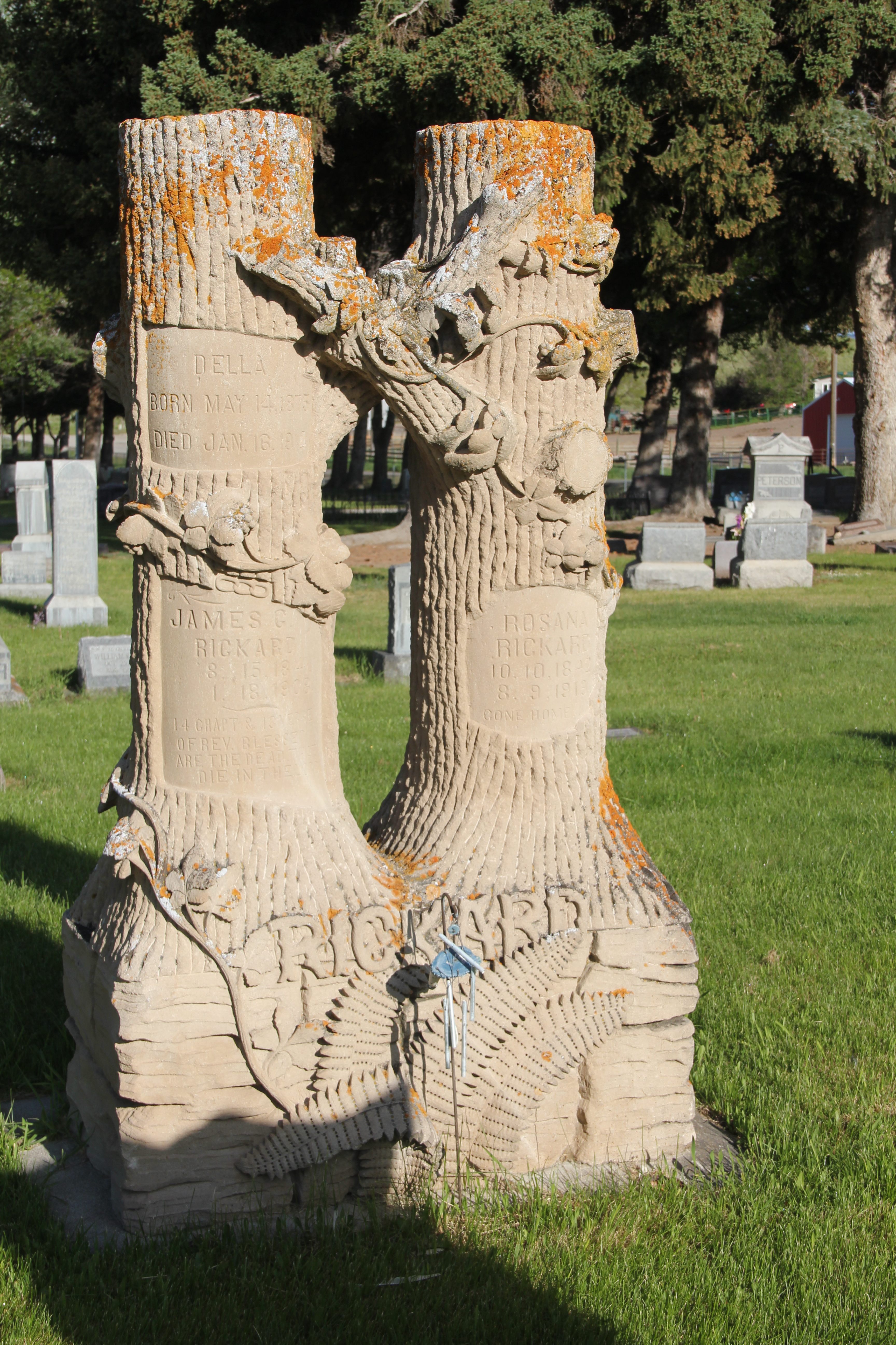
Family plots are scattered throughout as subscriptions helped to pay for the cemetery’s creation. Many are adorned with beautiful markers.
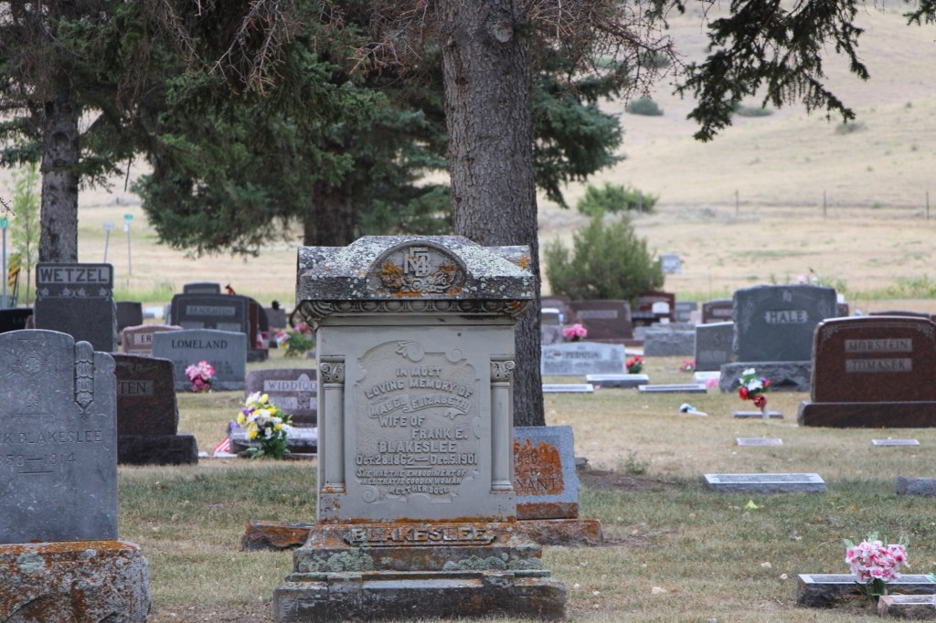
Mabel Blakeslee died in 1901. She and her husband Grank operated the Blakeslee Hotel and were considered among the pioneers of Big Timber.
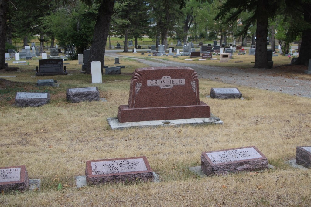
A stylish Art Deco style gravestone marks the plot of Abraham Grosfield’s family plot. He and his wife Alena emigrated to the United States in 1883. They were ranchers in the county. Alena died in 1940 and Abraham died in 1944. At his funeral at the Big Timber Lutheran Church, the minister sand a hymn in Norwegian.
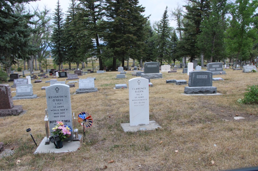
Many more stories await exploration at this special place in Big Timber.
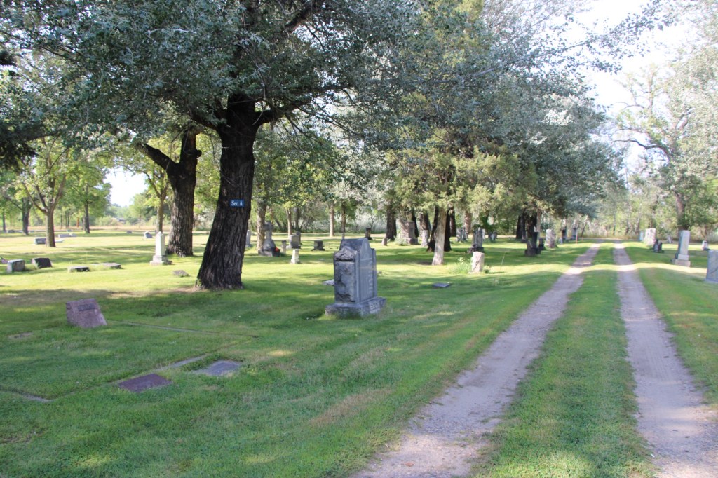
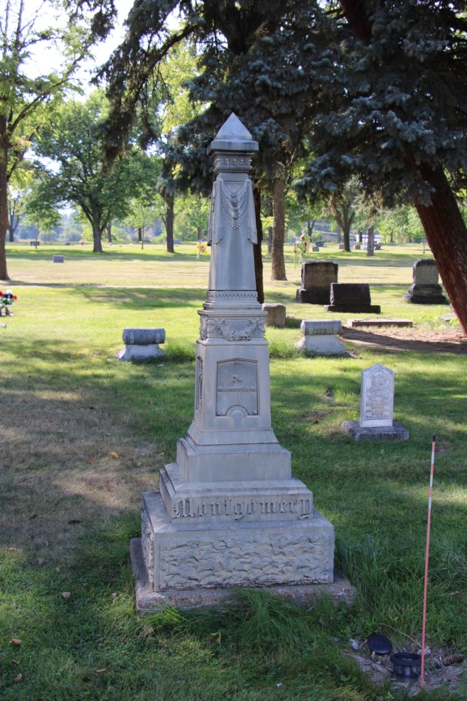
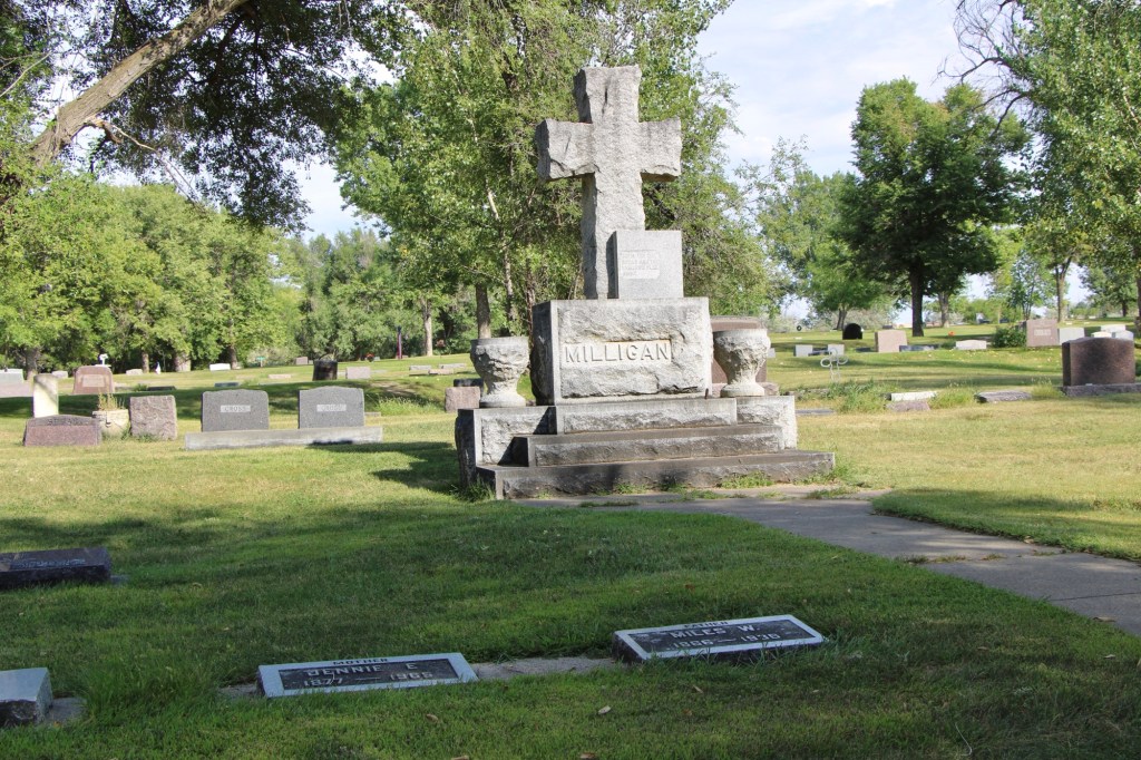
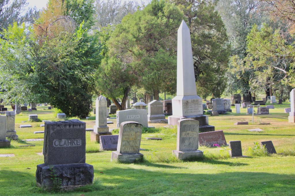
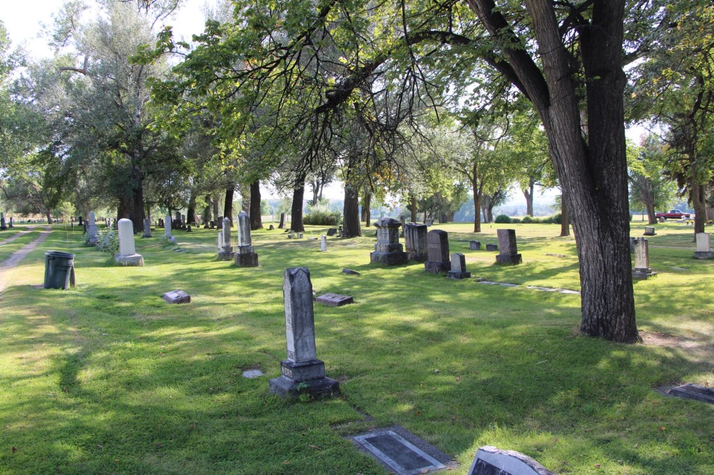
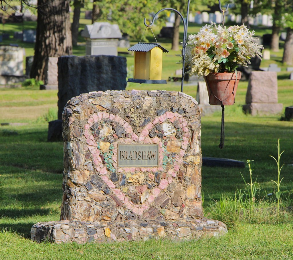
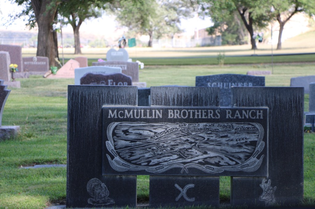
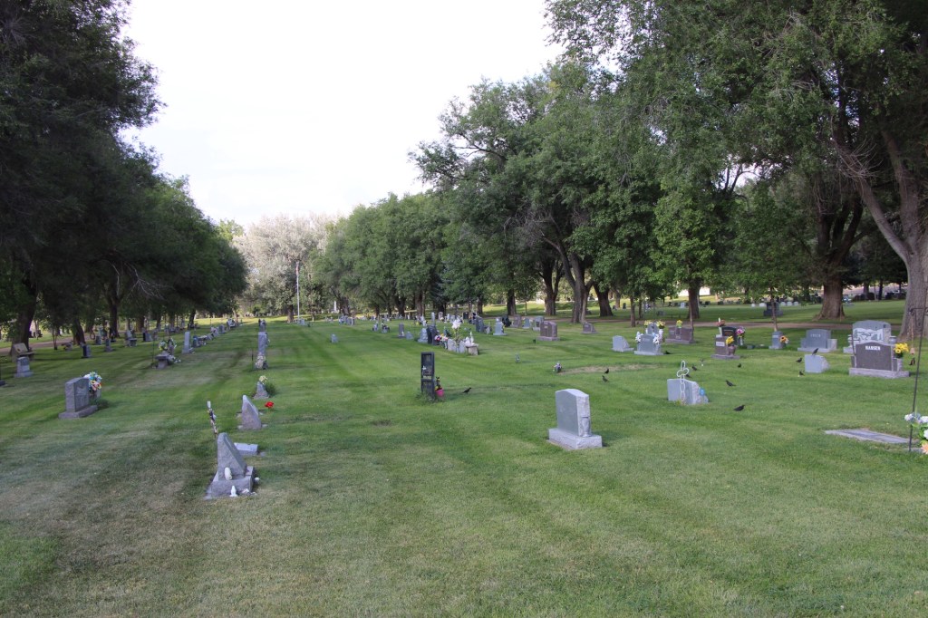




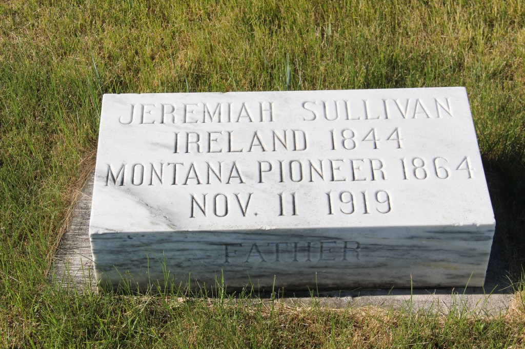

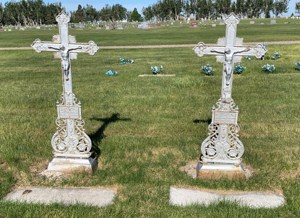
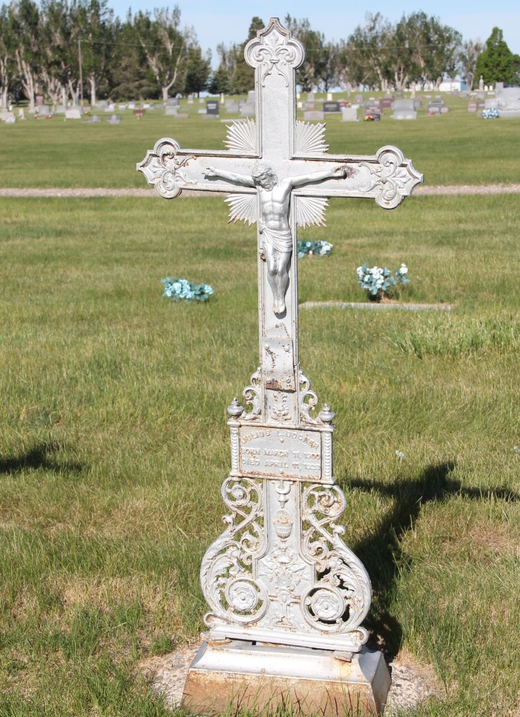


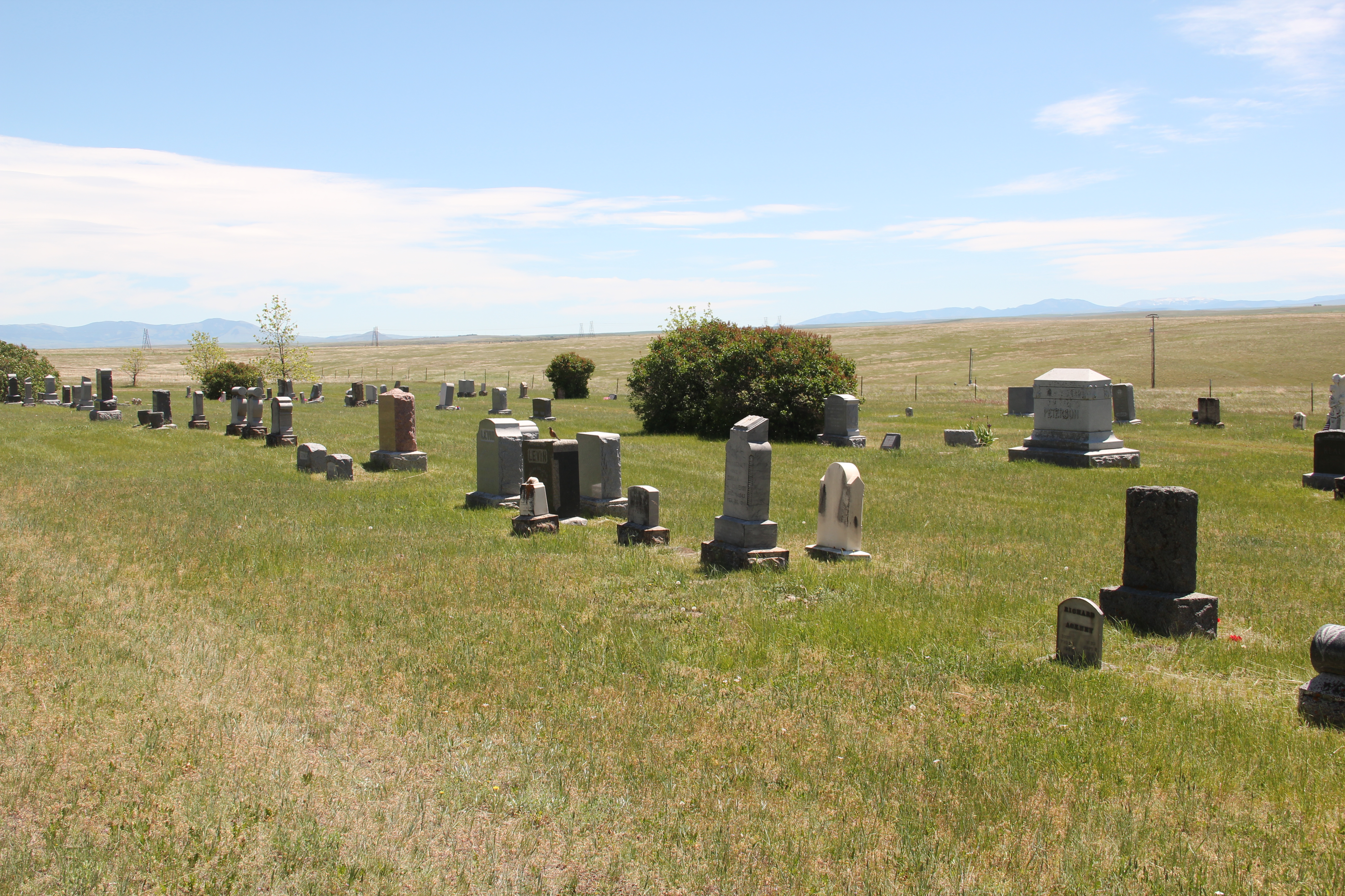
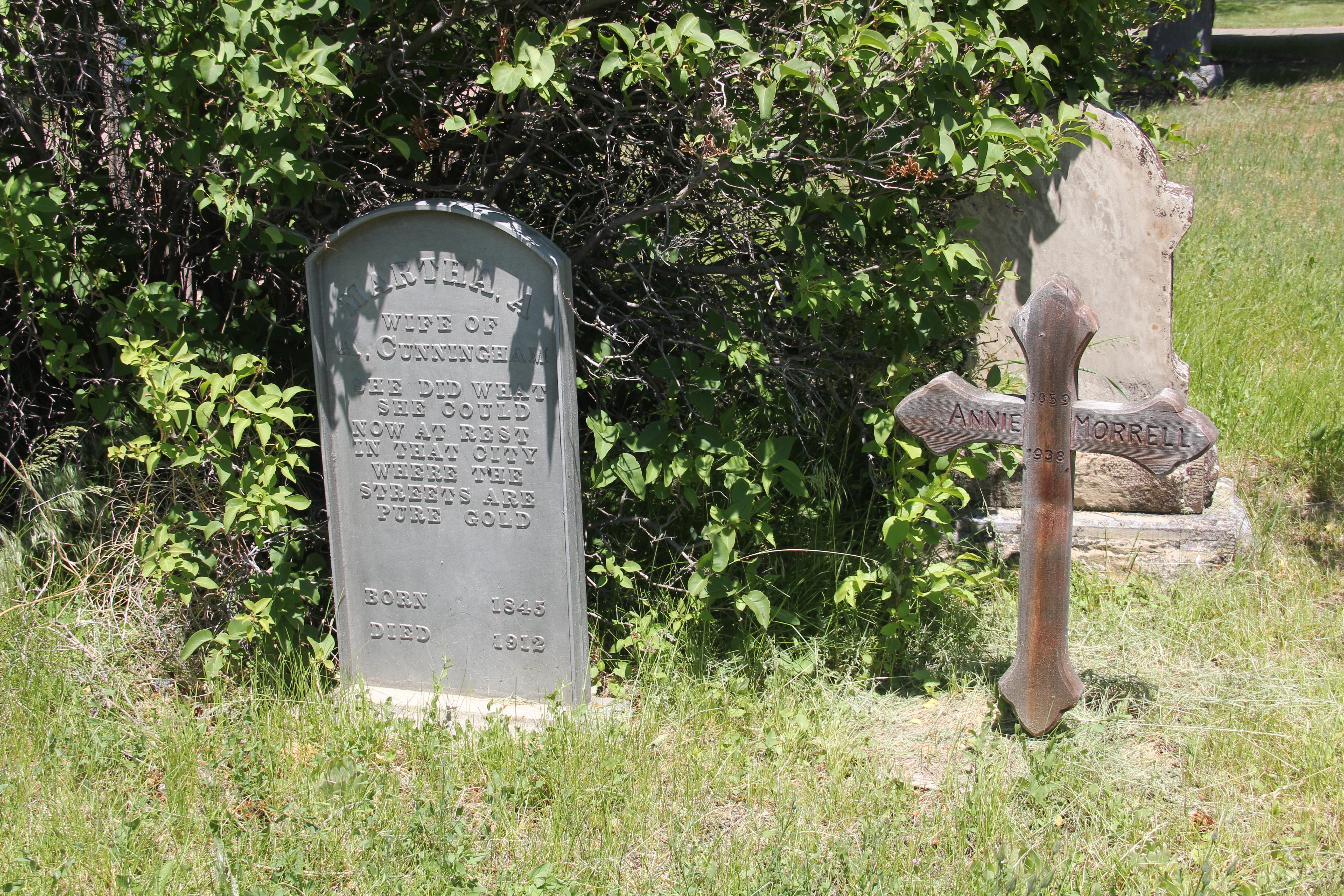
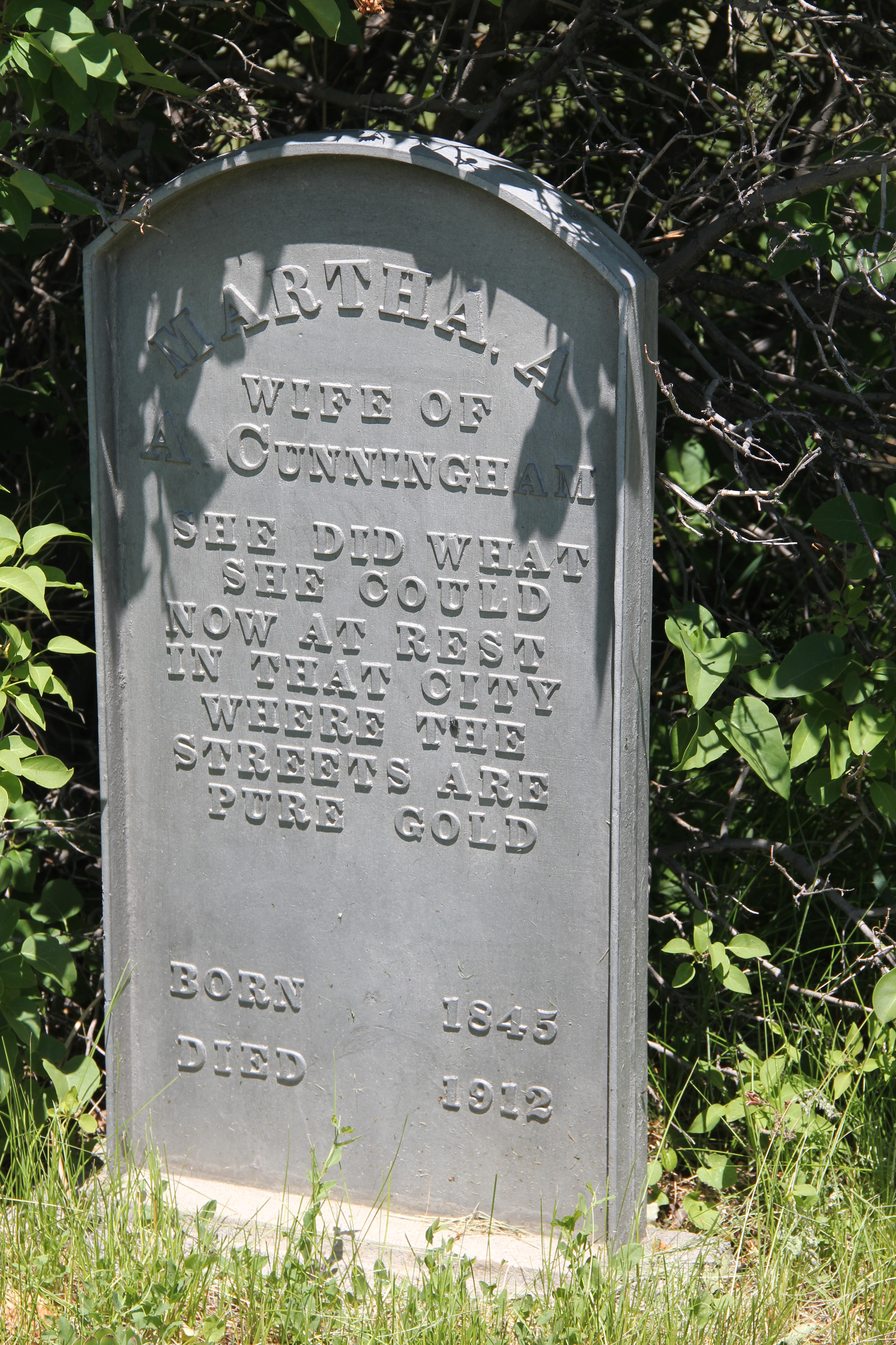
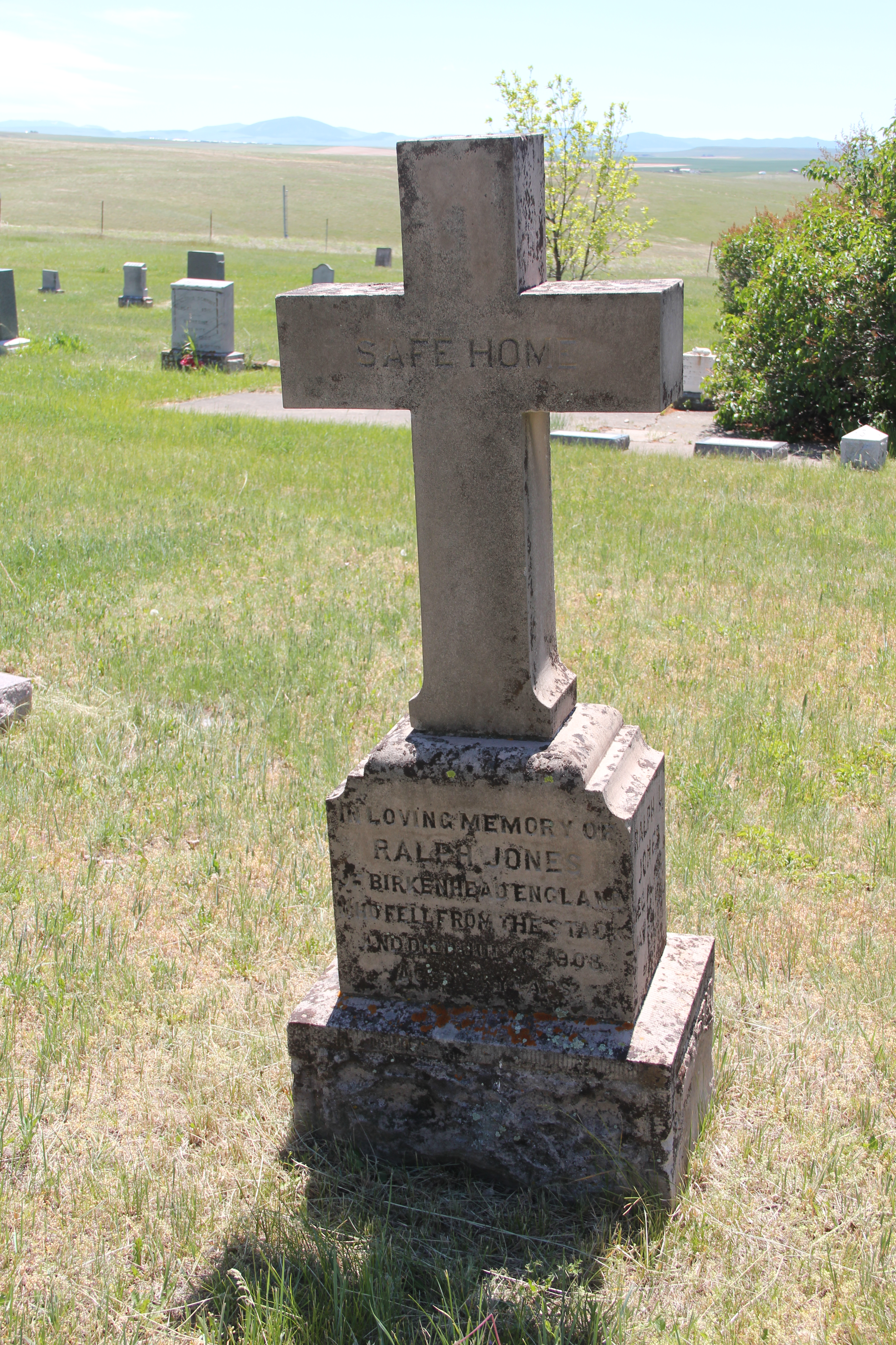
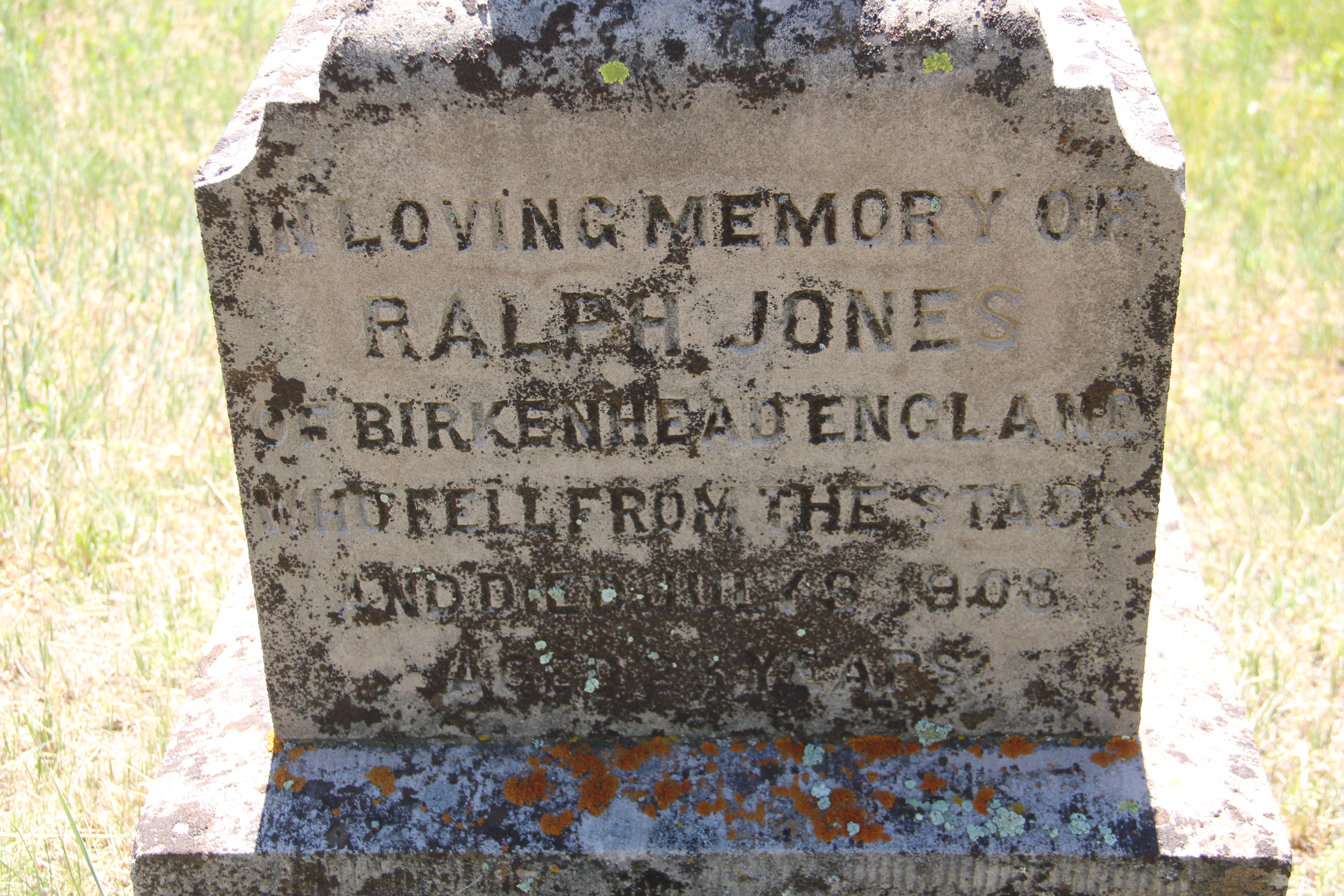

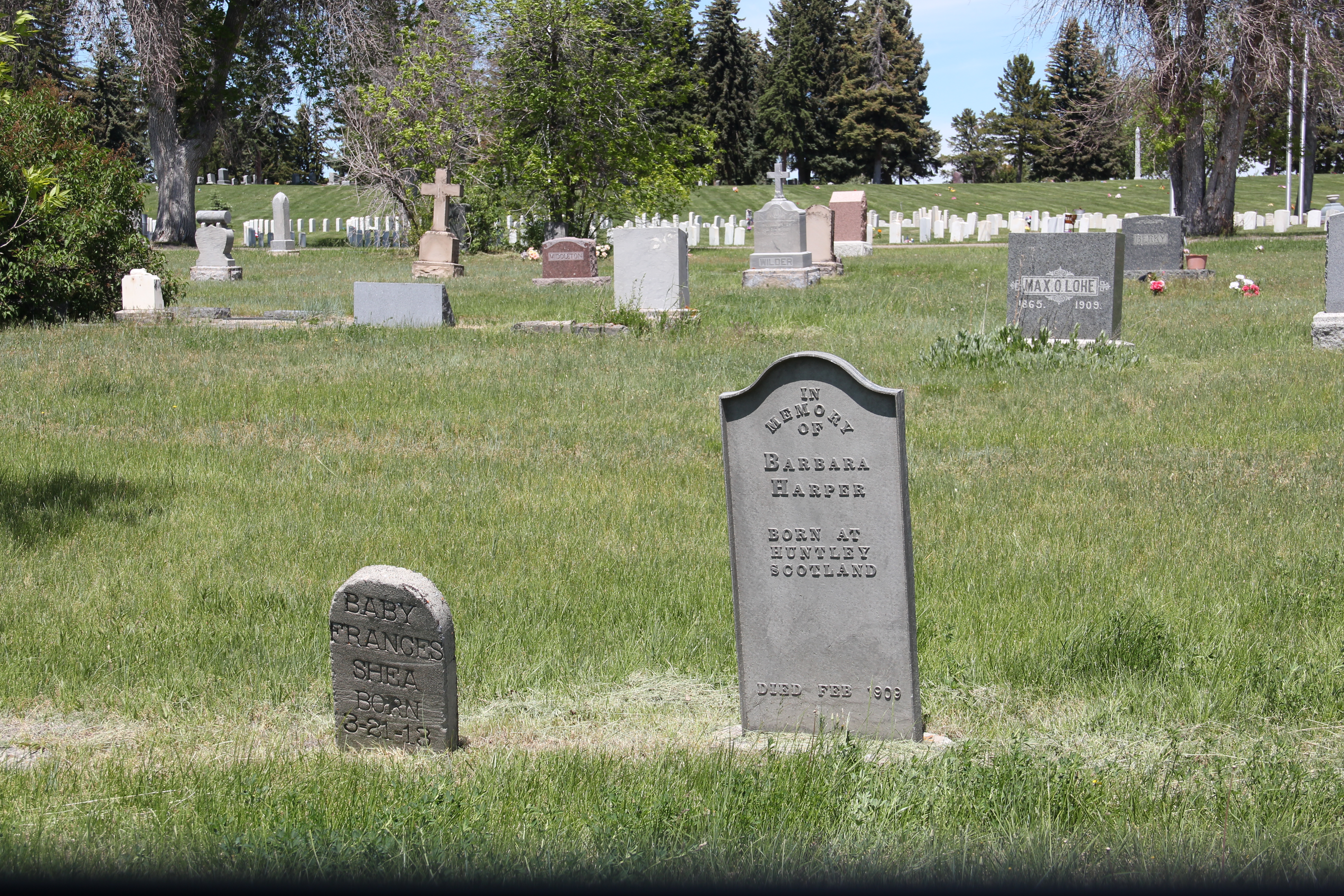


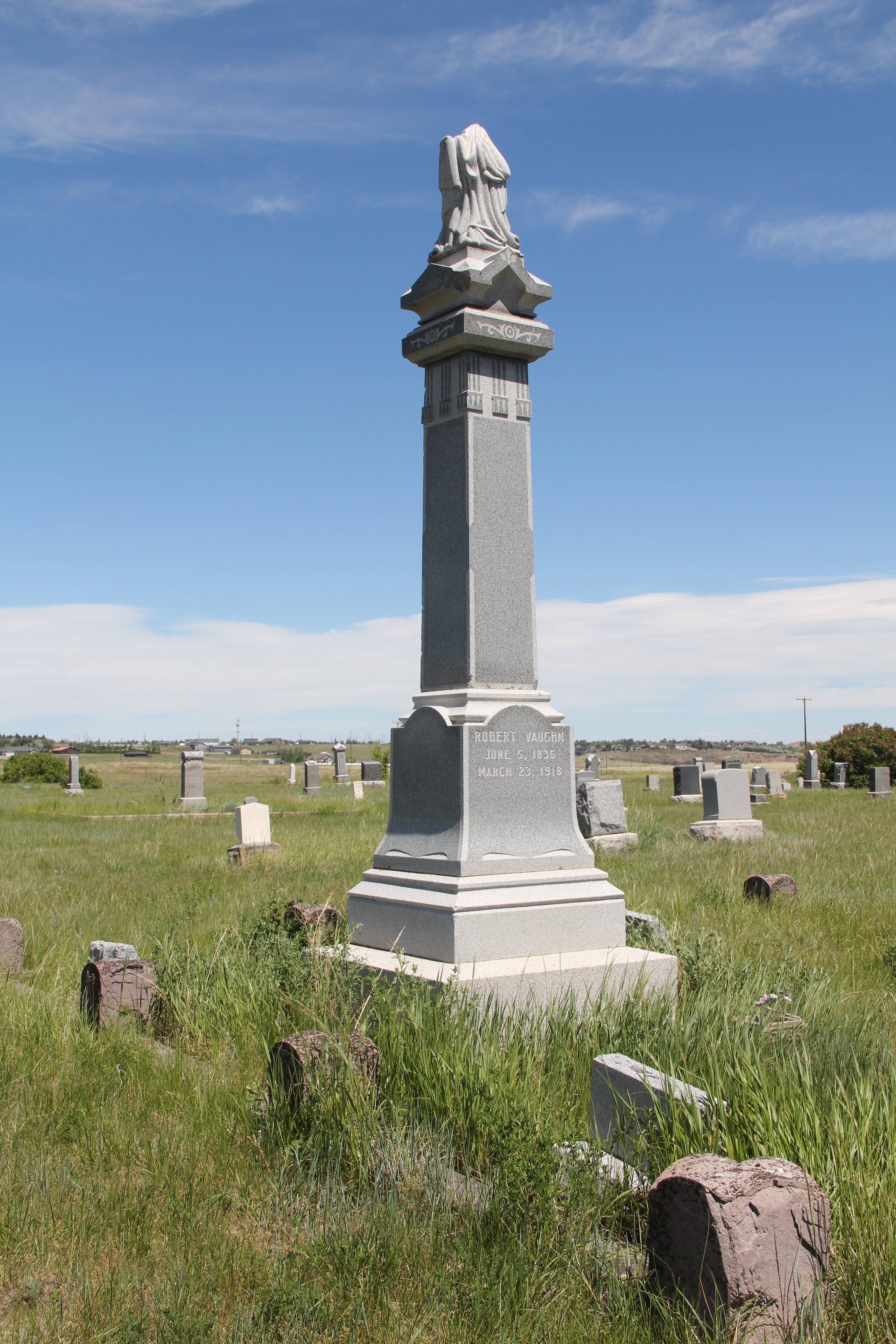
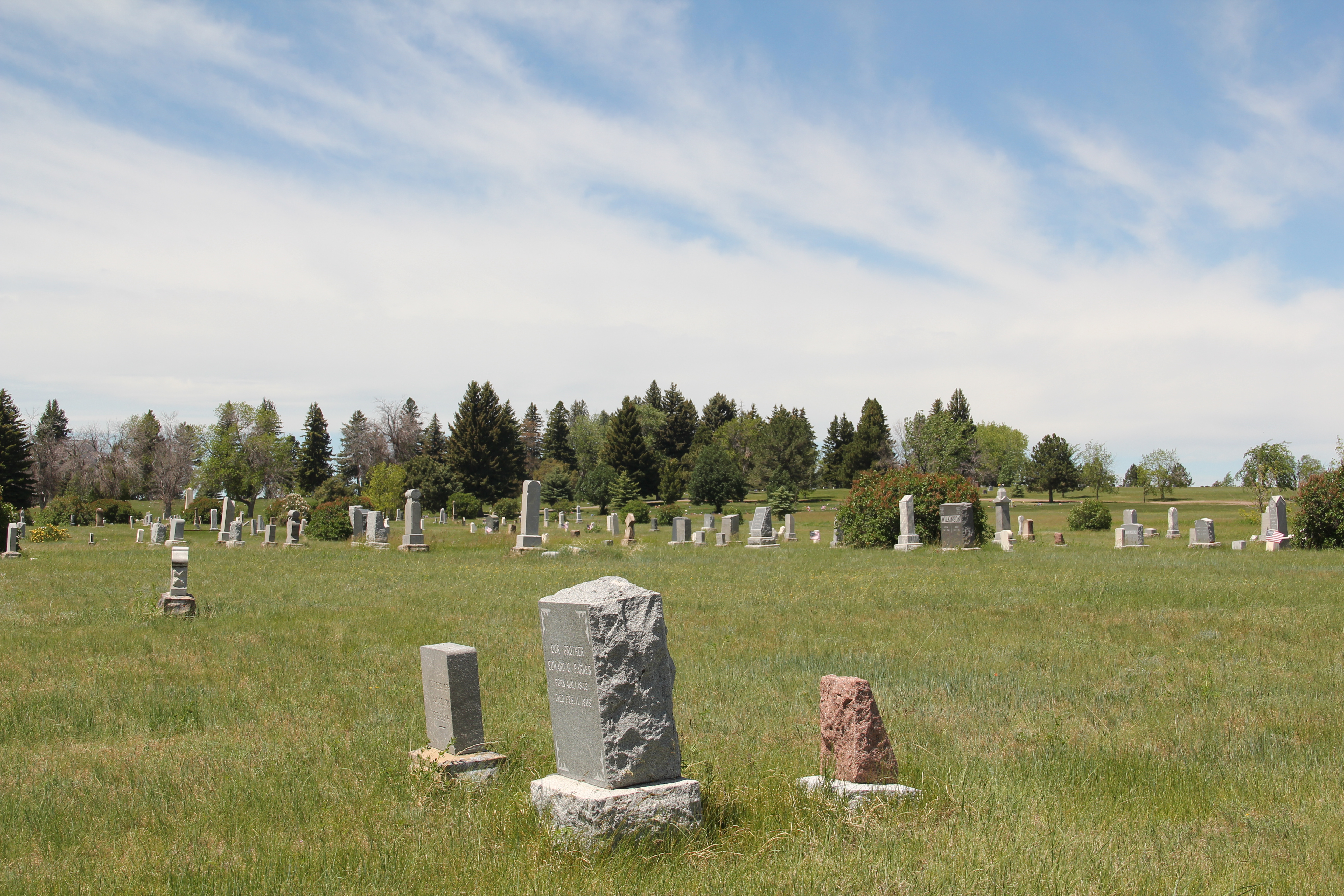


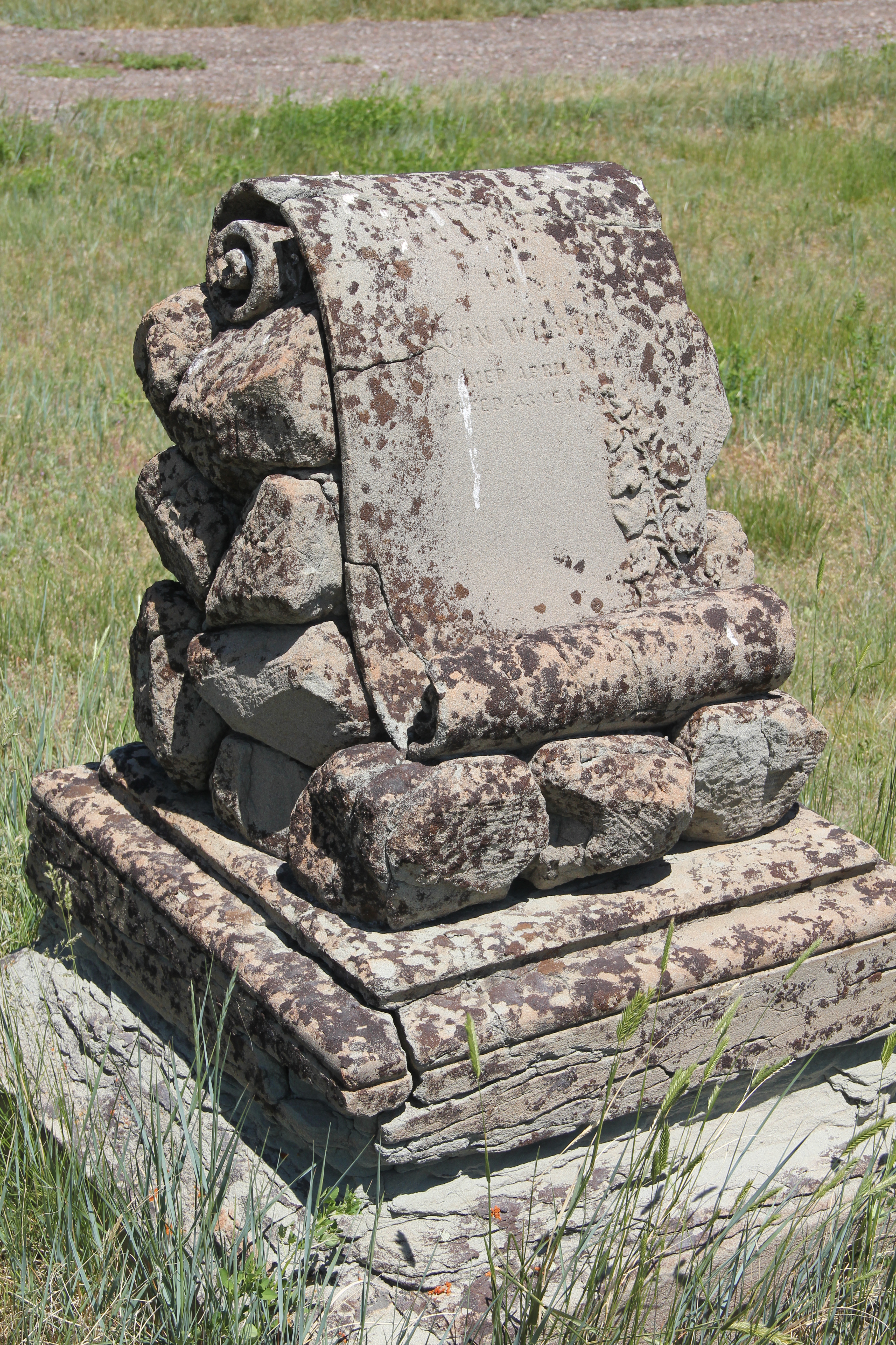





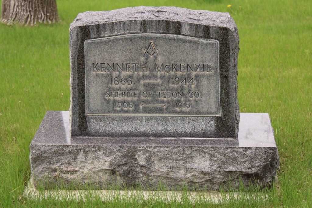


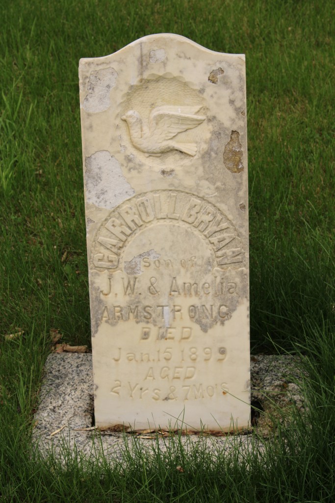


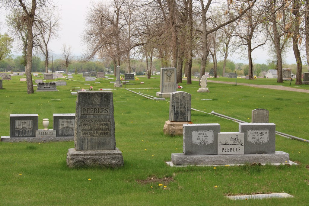

 On the northwestern outskirts of Livingston is Mountain View Cemetery, another of the historic properties that certainly existed when I carried out the 1984-1985 fieldwork for the Montana state historic preservation plan, but since it was a cemetery, we as a field gave it, or any cemetery for that matter, little consideration thirty years ago.










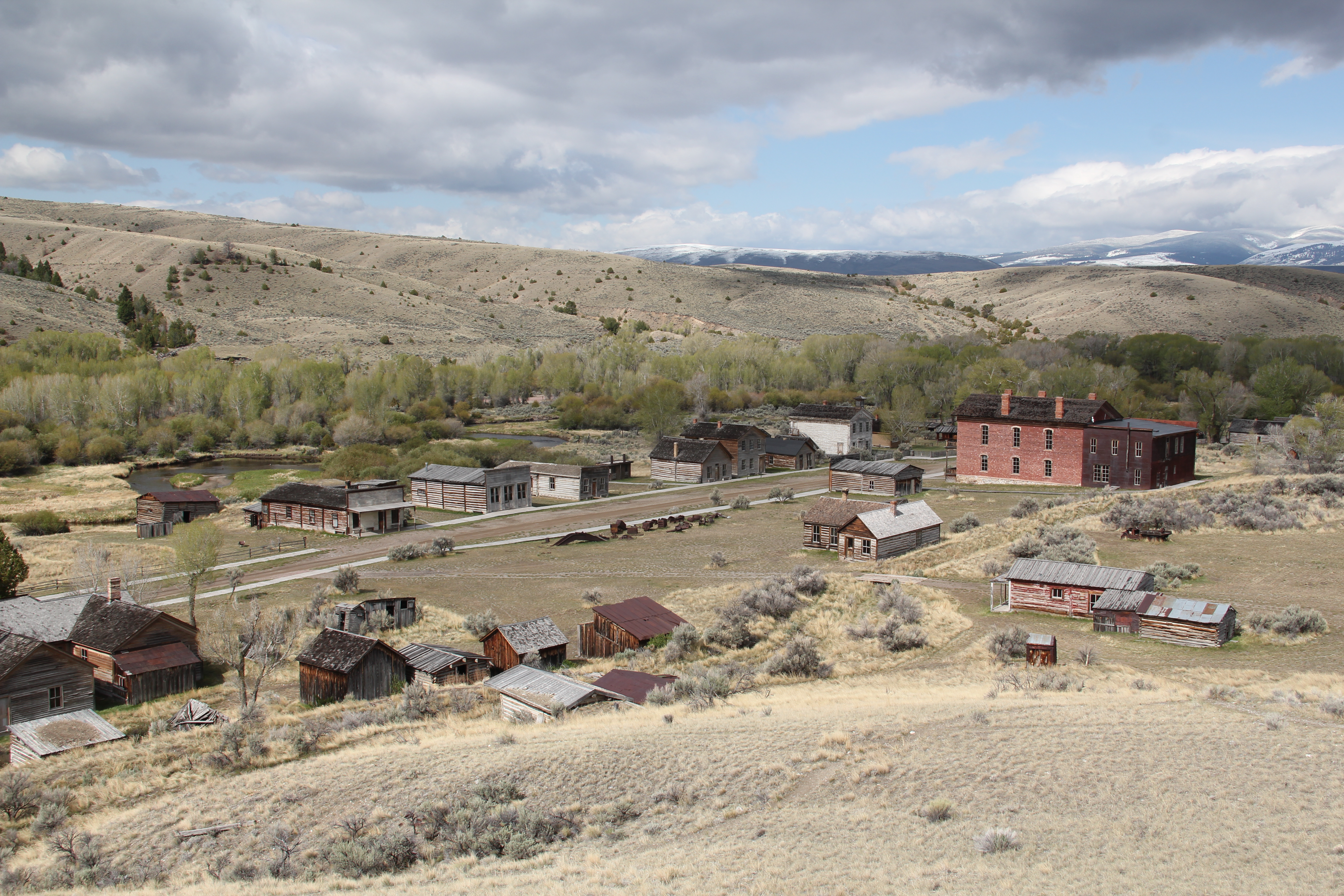 My first trip to Beaverhead County in 1981 had two primary goals–and the first was to explore Bannack, the roots of Montana Territory, and one of its best connections to Civil War America. As this simple wooden sign below remarks, here in 1862 the first gold strike in what became Montana Territory occurred.
 a path because the glistening bits of metal loose in the sands of the creek had never interested the Native Americans but news of the find was enough to drive easterners, many of them southerners, away from the landscape of war and into a wholly different place, crested by beautiful mountains.
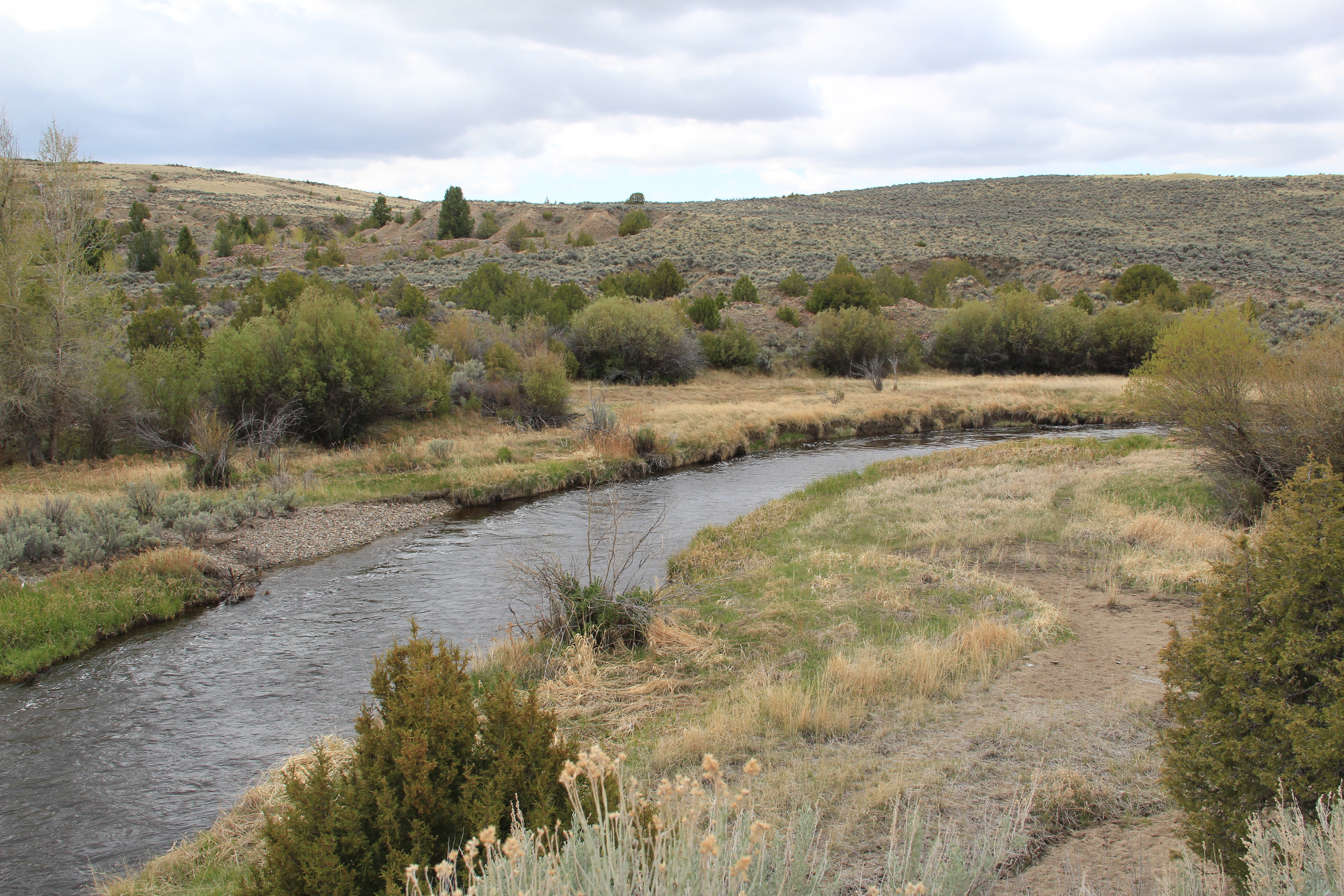 Grasshopper Creek was not much of place then, and even now, but this stream of water became the source of a boom that eventually reshaped the boundaries of the northern Rockies and nearby its banks grew the town of Bannack, a name taken in part from the Bannock Indians who had used this landscape in far different ways for many years.
 The story of the preservation of Bannock begins with local land owners, who protected the site, and kept most of the buildings from being scattered across the region. There was little official interest in the place at first. The state Daughters of American Revolution
 marked it in 1925, otherwise the buildings remained, some in use as residences or for public purposes, others melting away in the demanding climate. The Boveys moved the Goodrich Hotel to their preservation project at Virginia City and transformed it into the Fairweather Inn, which is still in use as lodging.
 In 1954, the Beaverhead County Historical Society transferred about 1/3 of the present property to the state for protection and development as a state park. Not until 1961 did the National Park Service recognize the town as a National Historic Landmark.


 Gritty, dusty, forlorn: yes, Bannack is the real deal for anyone wanting to explore ground zero of the gold rush era in Montana, and to think about how in the midst of the great Civil War, federal officials found time to support adventurous citizens to launch a new territory in forgotten expanses of the northern Rockies.
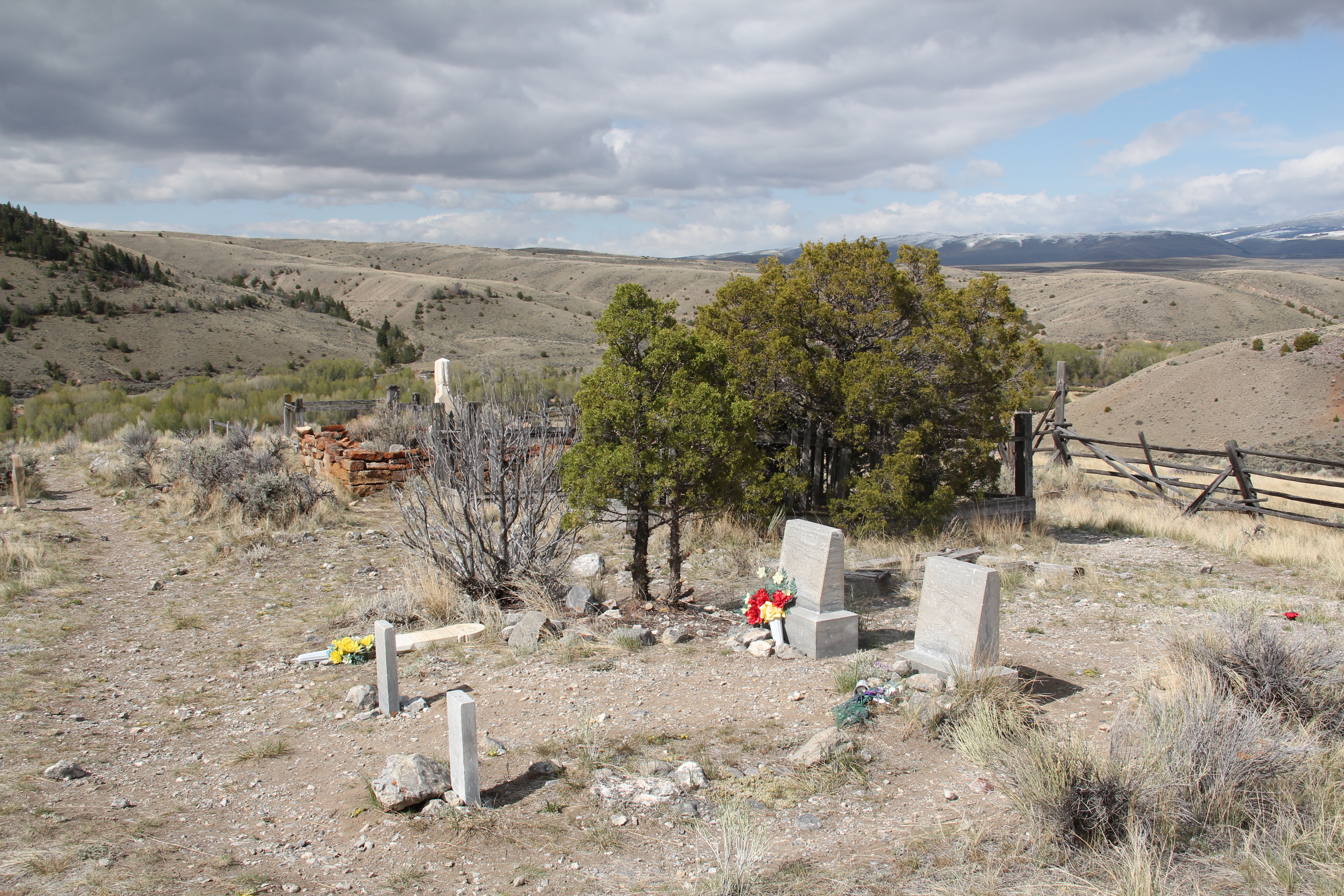
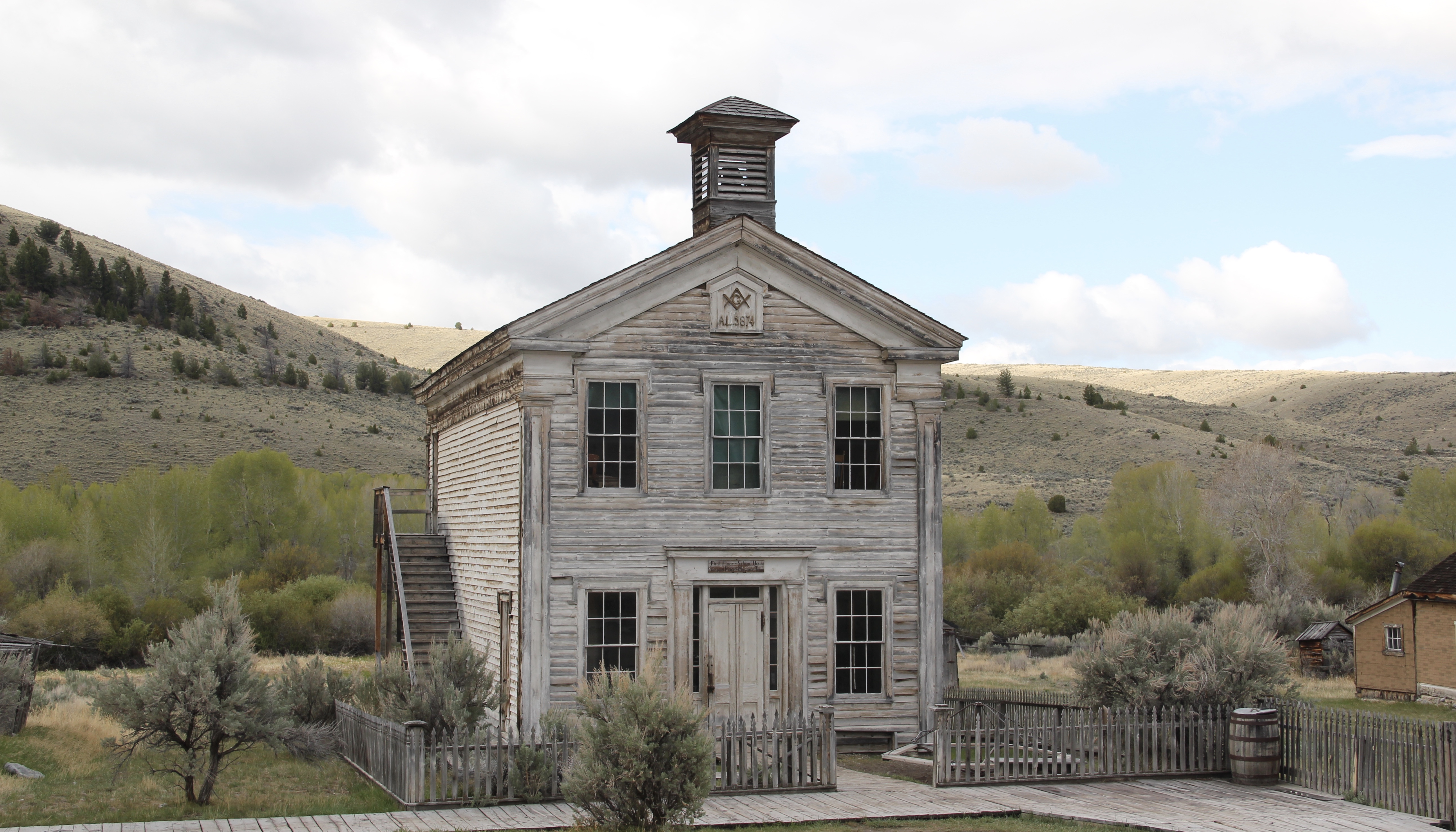 I thought that 30 years ago I “got” Bannack–there wasn’t much that I missed here. I was wrong. Probably like thousands of other visitors who fly into the town, and leave just as quickly, I missed what is still called the “new” town cemetery. Almost hidden in the sagebrush along Bannack Road, the “new” cemetery is not Boot Hill–where is Plummer
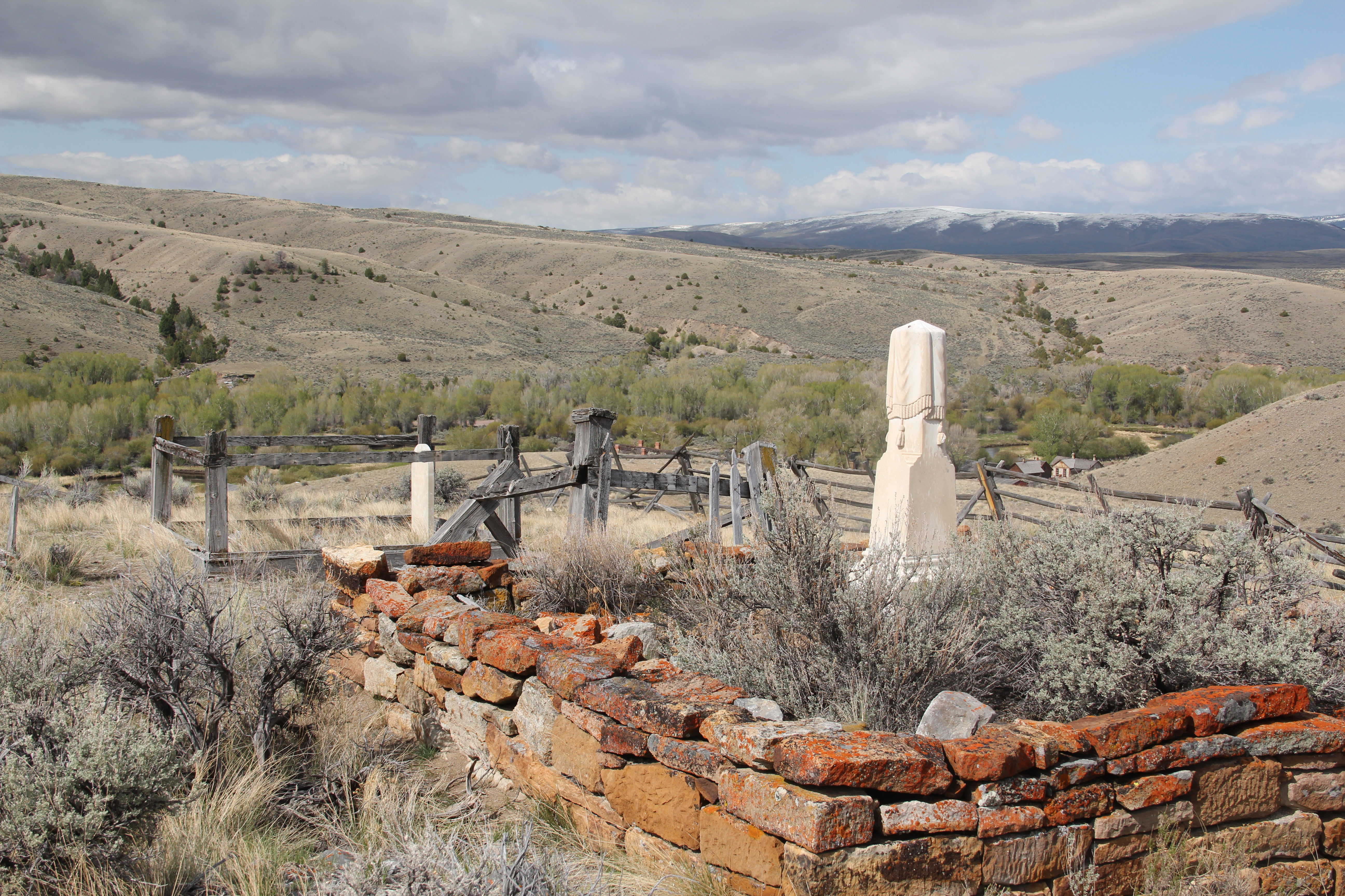 buried people still want to know–but it is a remarkable place of hand-carved tombstones, others rich with Victorian imagery, and a few that are poignant reminders of the Civil War veterans who came here and stayed.