
Standard histories tell you that Cut Bank, the seat of Glacier County, dates to 1891. But significant numbers of permanent settlers did not arrive until the first years of the 20th century, following a major investment by the Great Northern Railroad to build a huge steel bridge and railroad offices, shops, and a roundhouse. The Fort Benton River Press on February 12, 1901, reported that “Cut Bank is rapidly assuming a metropolitan appearance.”
The initial railroad boom soon slowed until the homesteader movement brought new growth. In 1911 town officials agreed to discuss the creation of a permanent town cemetery with state officials. Between 1911 and 1914 citizens formed the Crown Hill Cemetery Association and the first documented burials in the local newspaper took place in 1914.
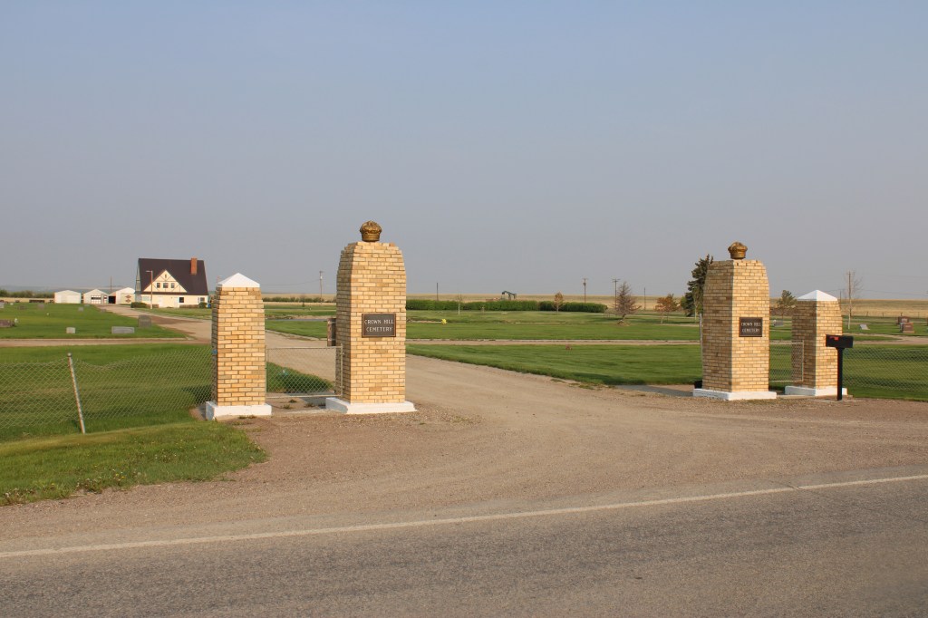
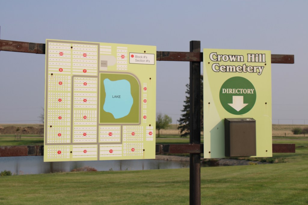
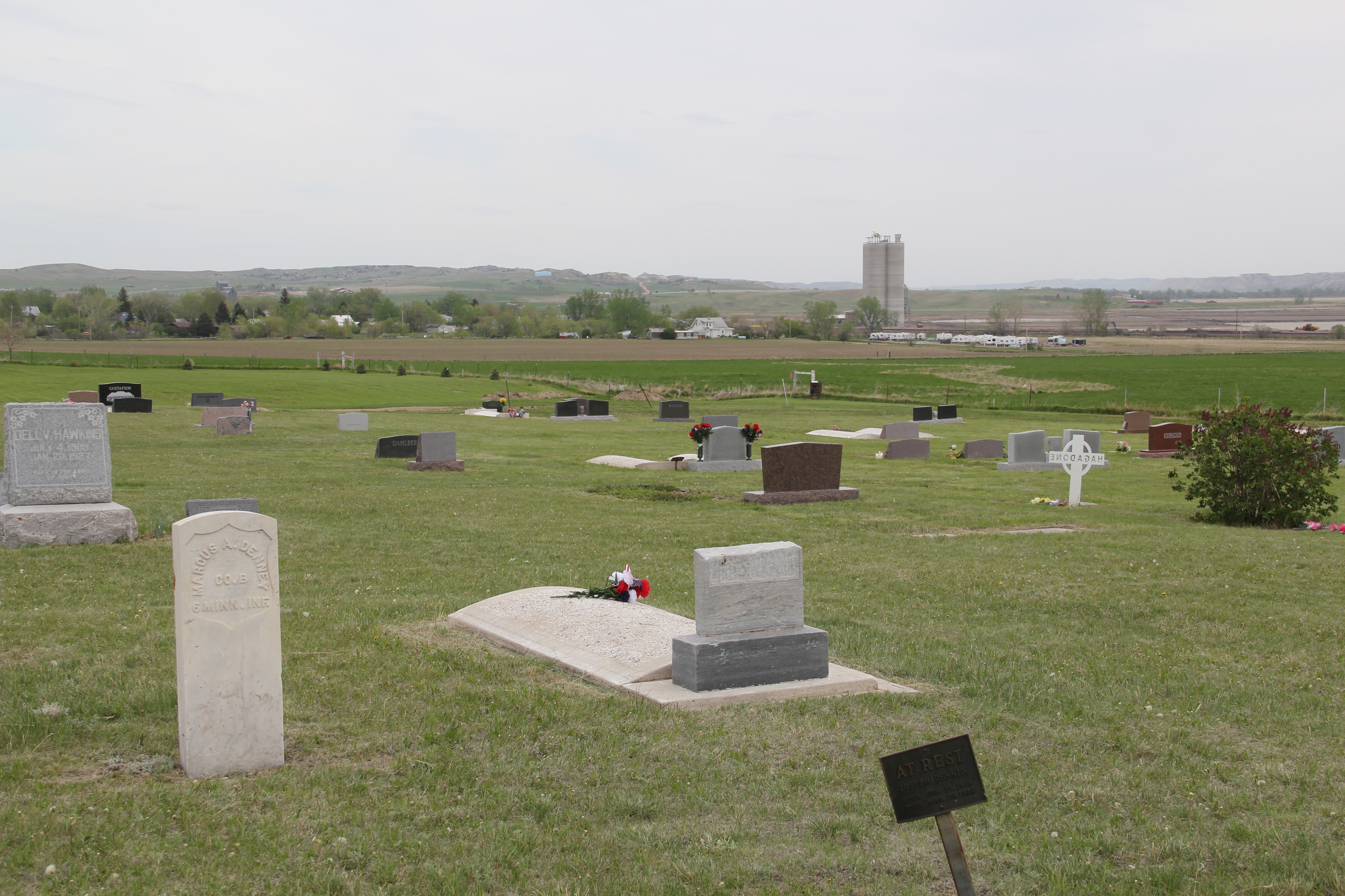
Located north of town the cemetery is on a slight rise and has an impressive view of Cut Bank to the South. A small lake is the focus of the cemetery plan.


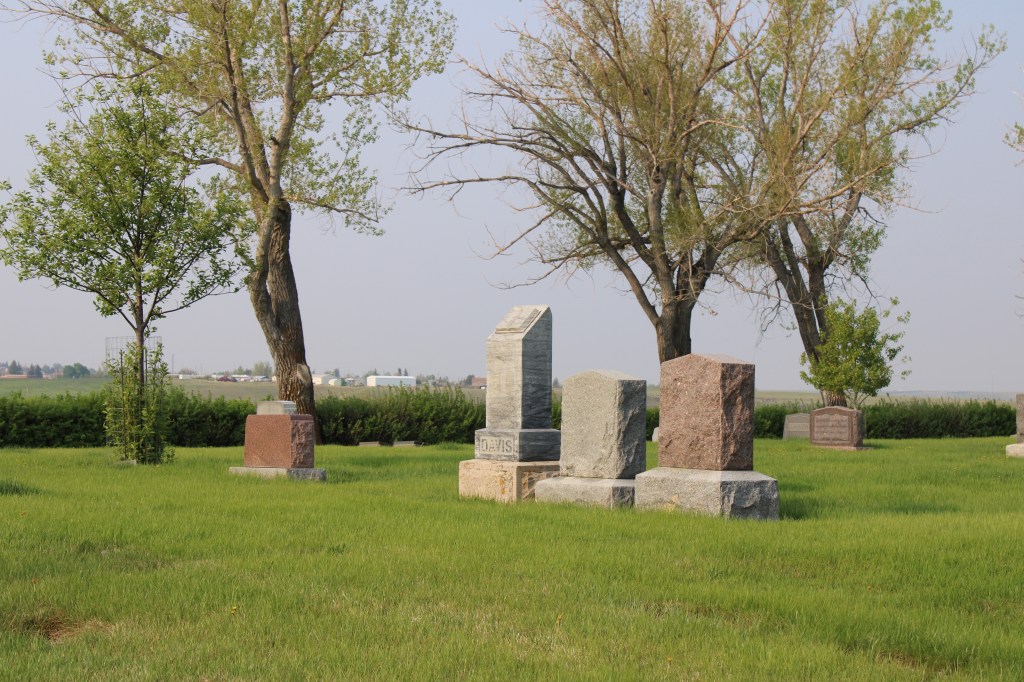
Otherwise the cemetery contains long rows in a rectangular manner and there are few huge grave markers, instead many dignified and subtly designed markers cover the grounds.
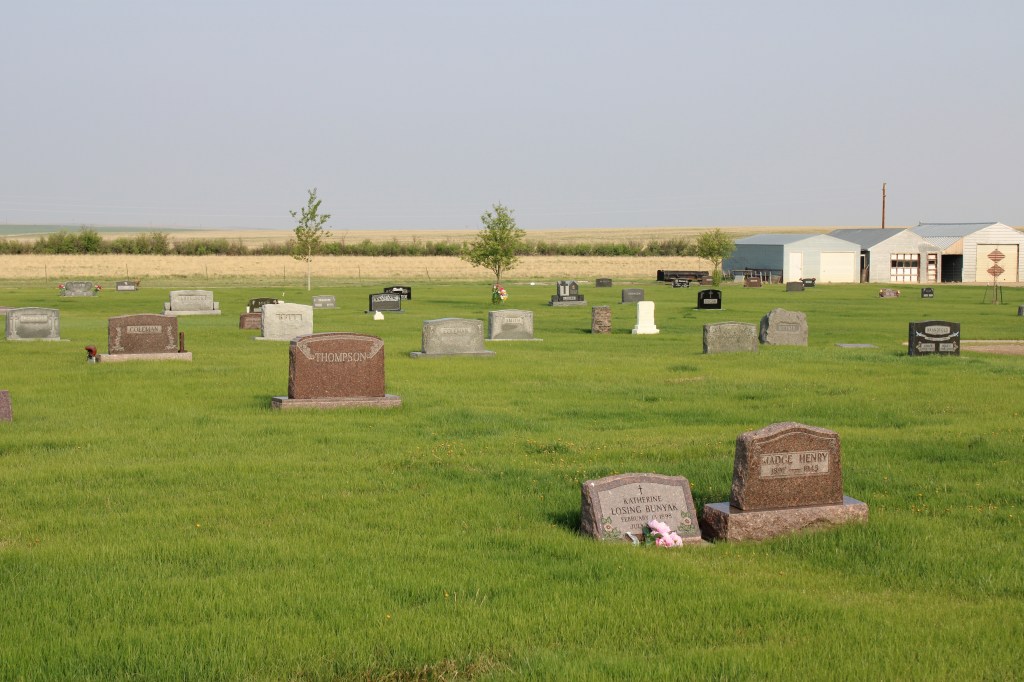

There are several interesting markers and many note a fraternal lodge association.


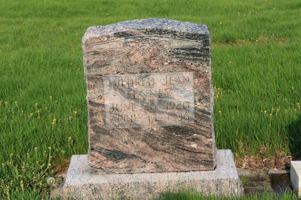
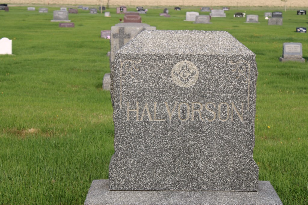
The Halvorson marker dates to be death of Mrs. Harry Halvorson who died in 1924. At that time her funeral was the largest ever held in Cut Bank. The Midland Empire of April 22, 1924 reported that 650 attended the funeral and that 77 cars went from the town Masonic Hall to the cemetery. A member of the Rebekah lodges in both Cut Bank and Shelby, Halvorson’s funeral attracted other lodge members from Shelby, Conrad, Valier and Browning. Her husband was the senior member of the Halvorson mercantile company, which started in 1901.
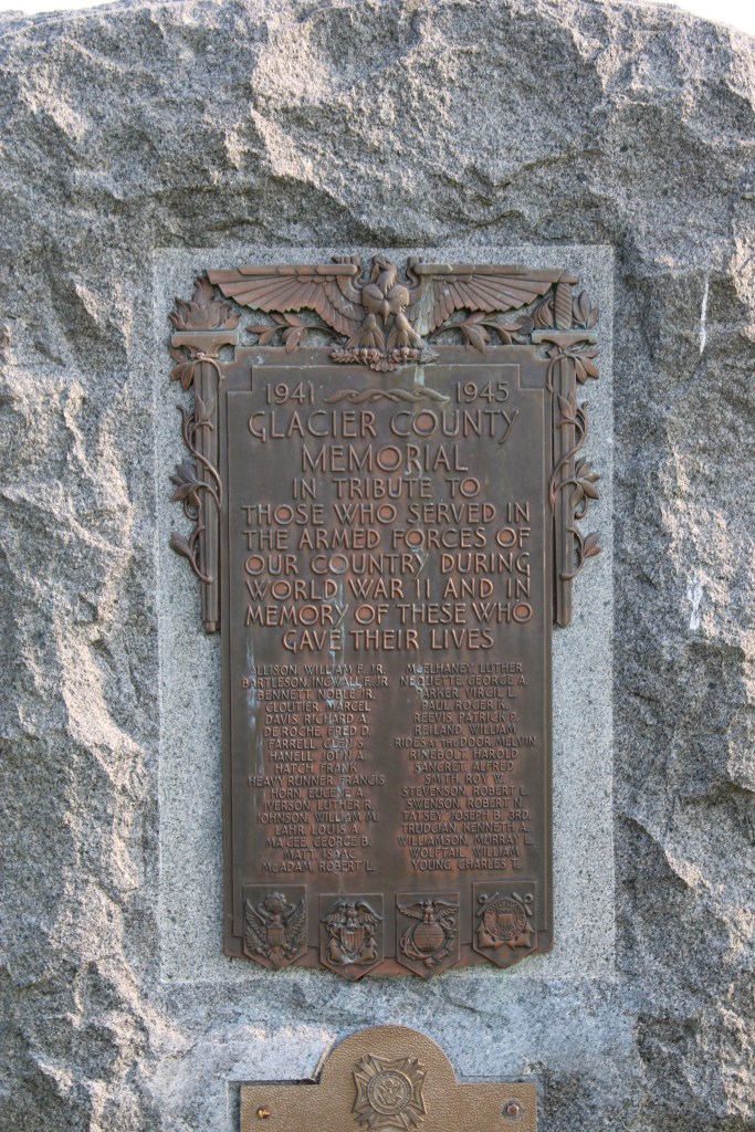
Another important marker is the veterans memorial from World War II. Cut Bank played a significant role as a satellite air field for the Great Falls Army Air Base. In 1942-43 pilots trained here in flying the B-17 Flying Fortresses. In 1948 the army conveyed the base to the town for civilian use.

Perhaps an unattended consequence of the military air base is that winter temperatures at Cut Bank was regularly available to national media, which played up the mage of Cut Bank as the coldest place in the lower 48 states. Cut Bank embraced the image, as this bit of roadside sculpture below attests. It stands at the eastern entrance into town on US Highway 2.

Crown Hill Cemetery is one of the oldest properties in Cut Bank open to the public. The cemetery is well maintained, well manicured and a testament to the respect and dignity local residents give to their past.


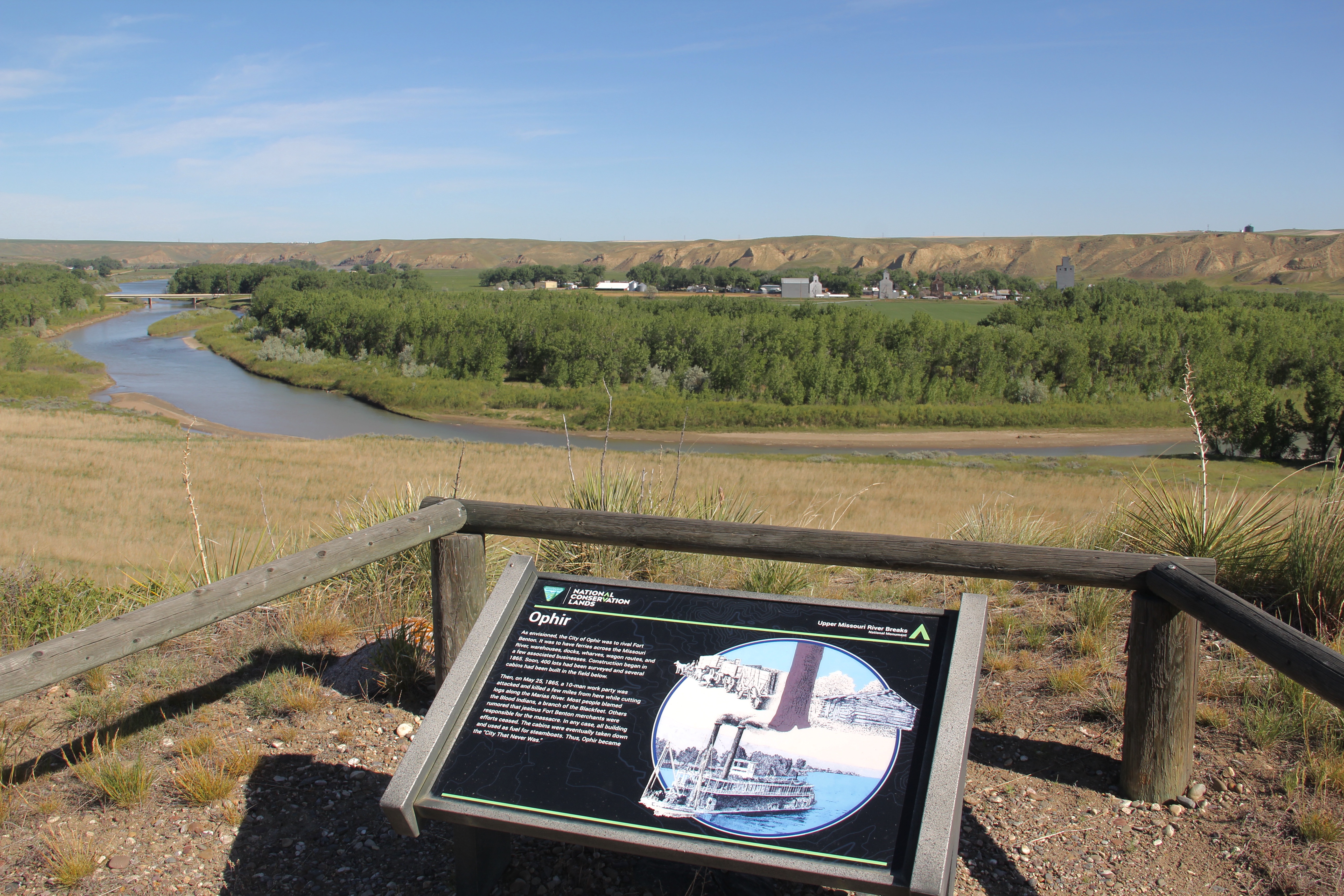

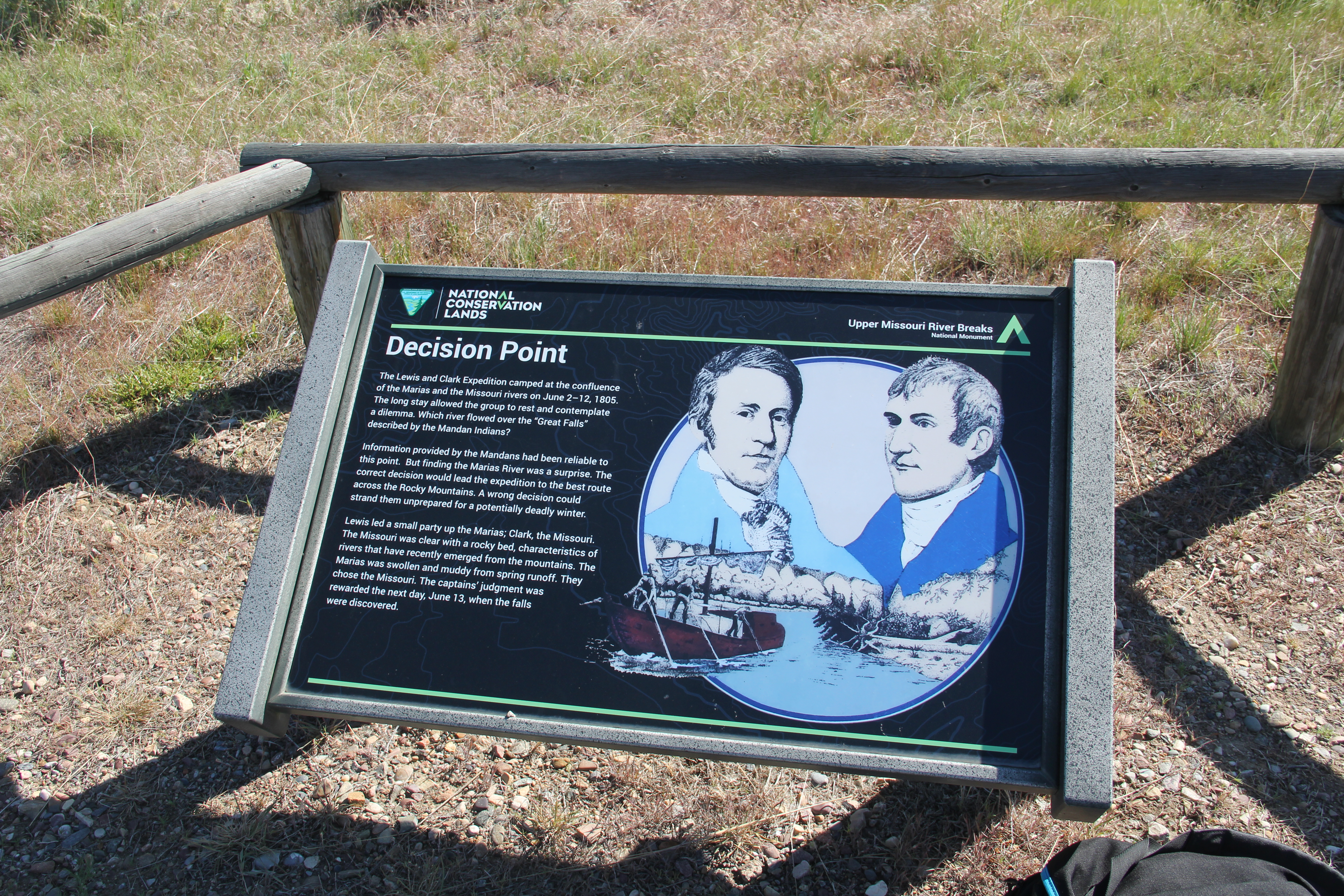
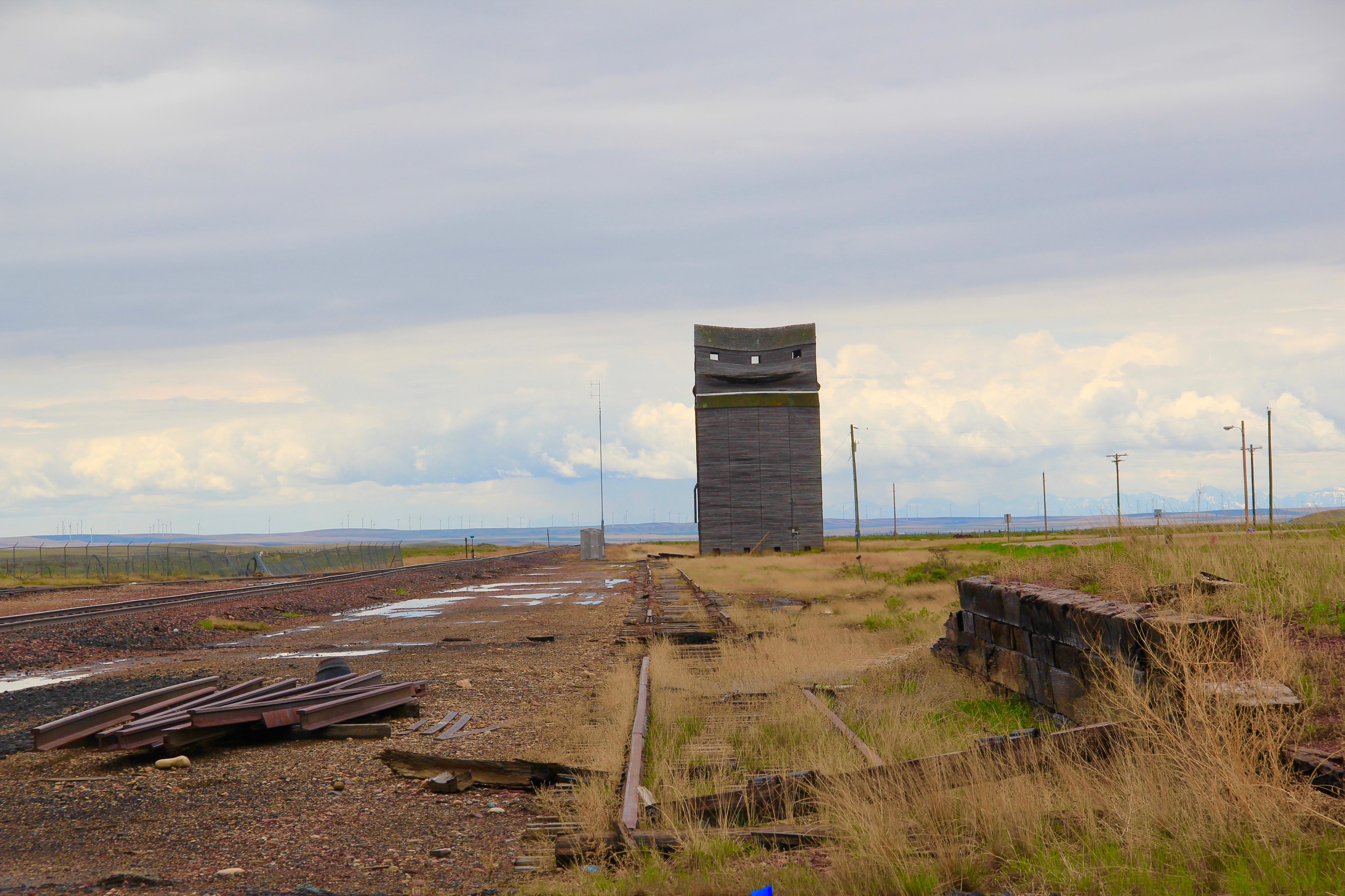

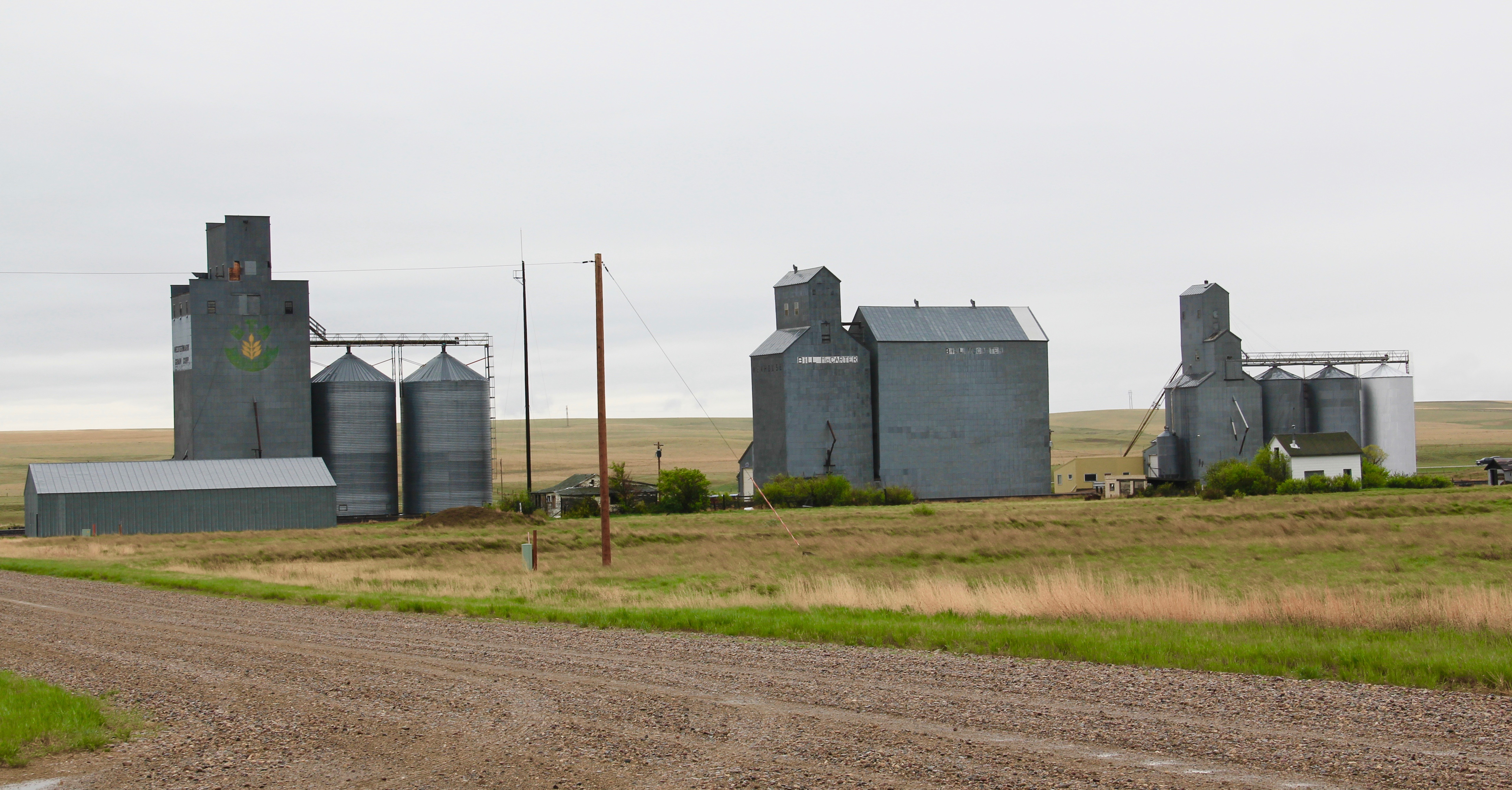
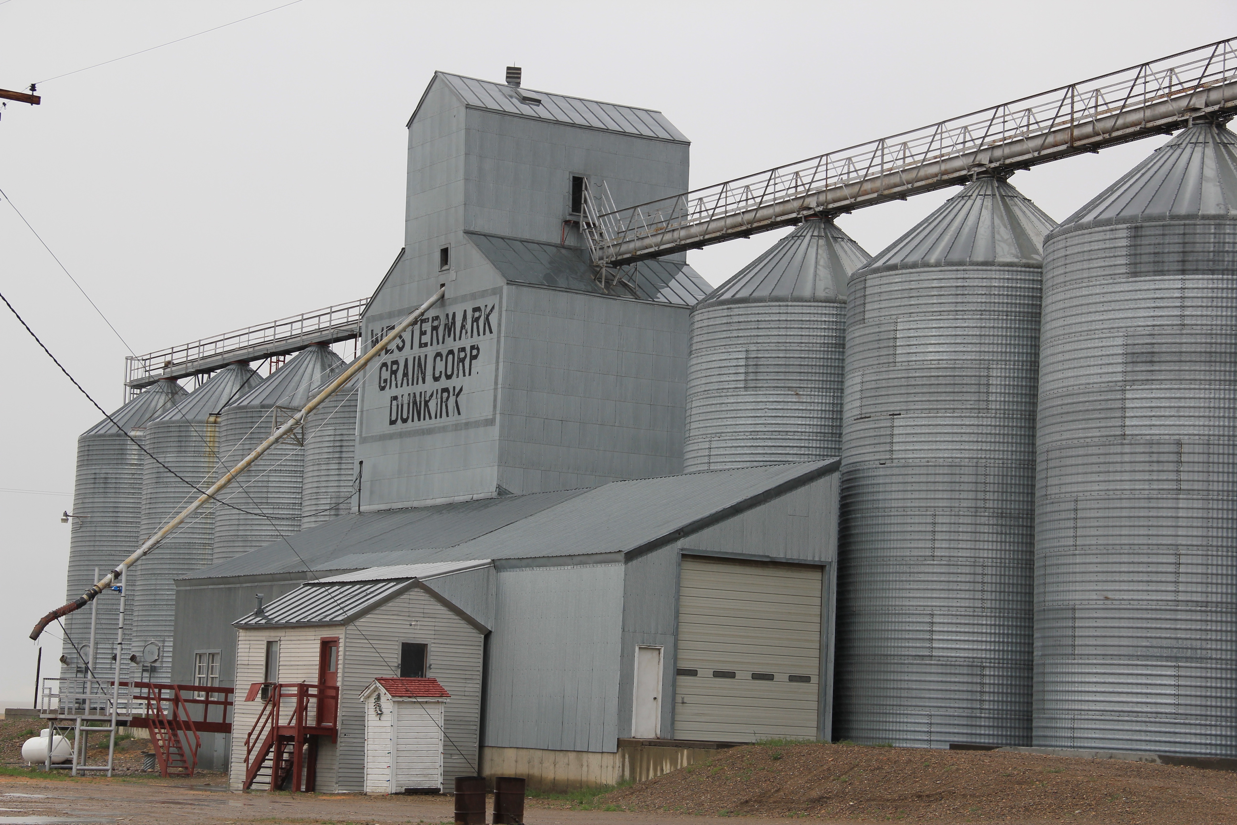


 One of the very few historical markers in Montana that touches on the state’s irrigation history focuses about a historic bridge that once stood nearby at Tampico.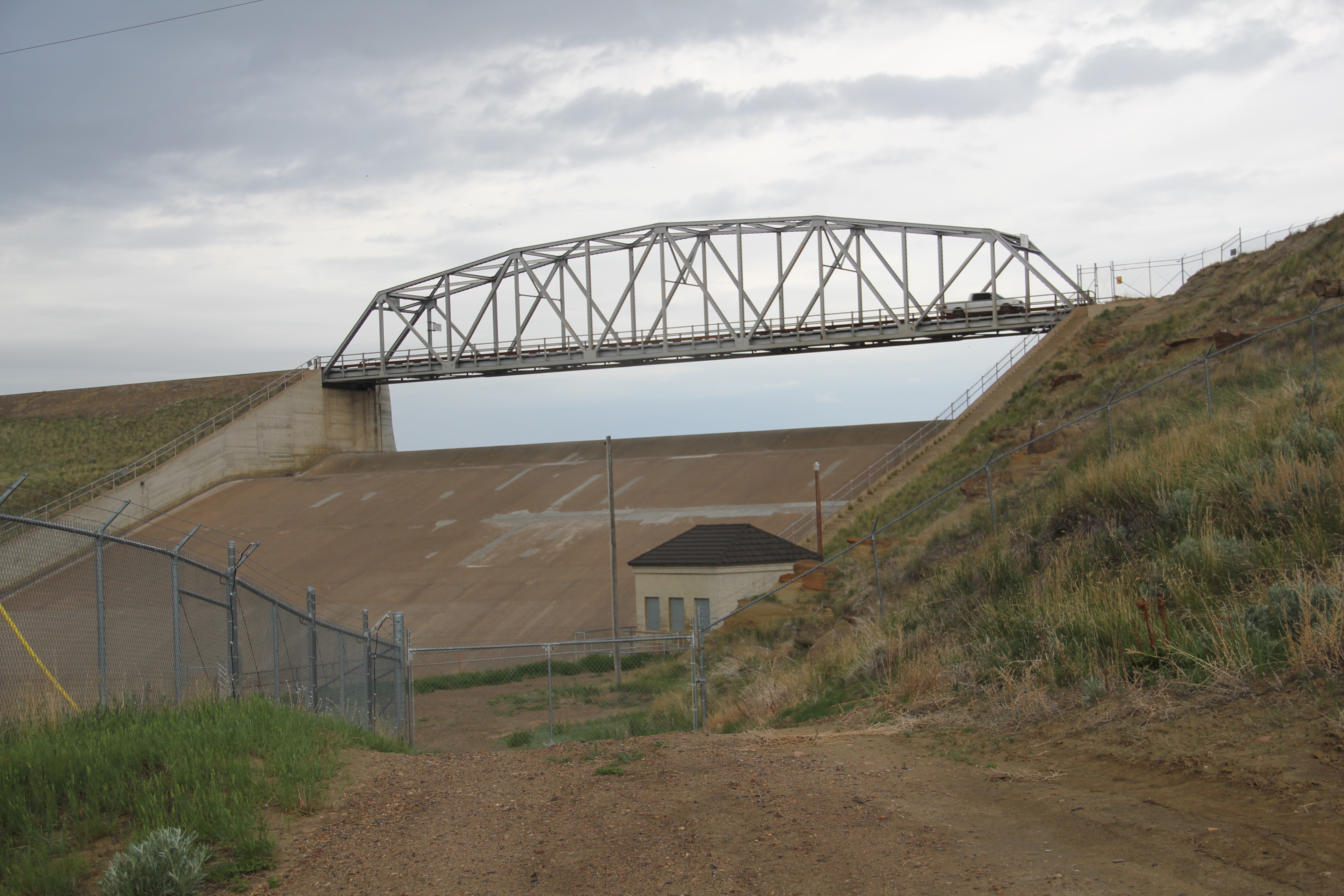
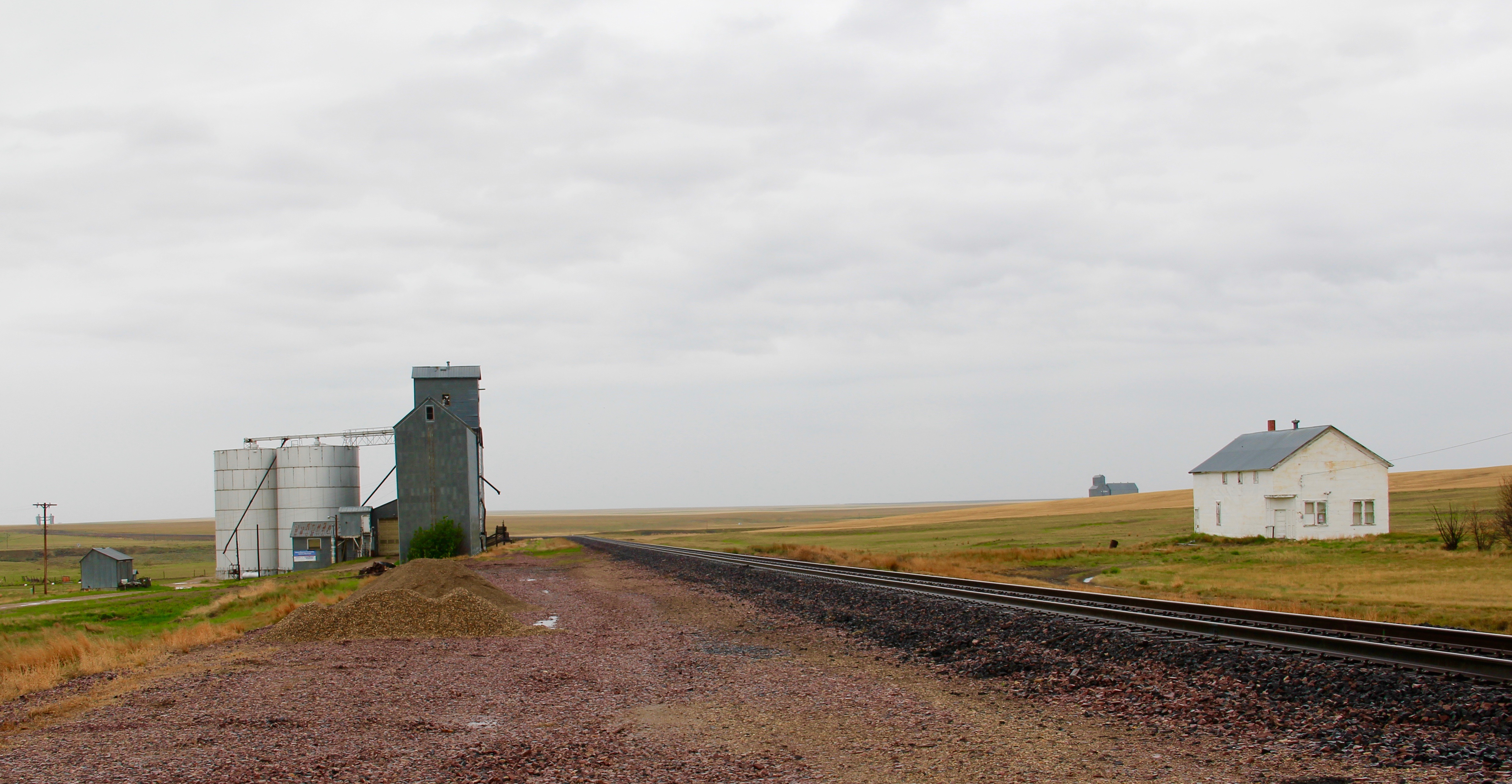
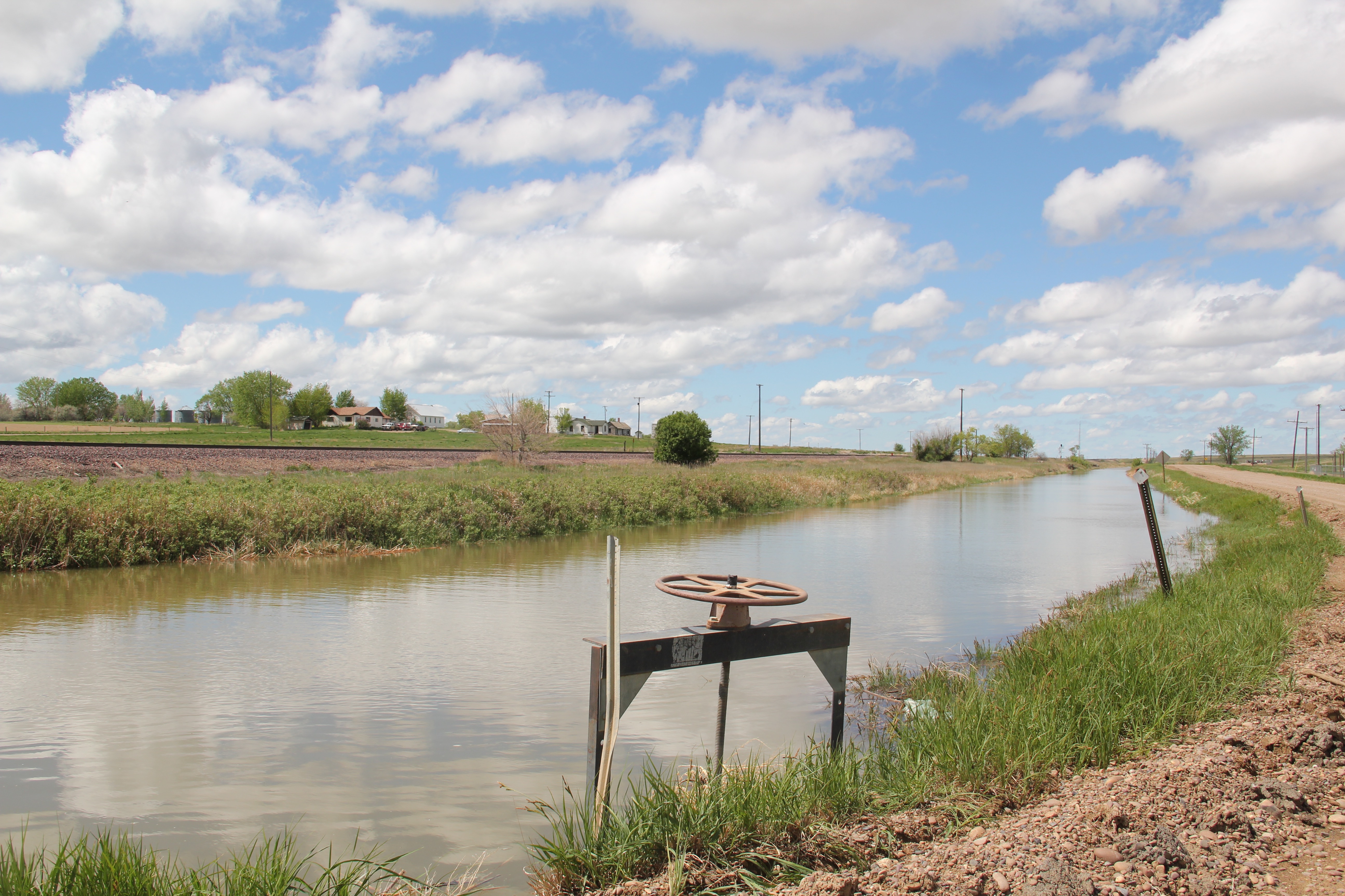
 Large man-made lakes capture water to reserve it for use throughout the growing season. The images above are of Fresno Reservoir, on a rainy morning, in Hill County. While the two images below are of Nelson Reservoir, on a typically bright sunny day, many miles downstream in Phillips County.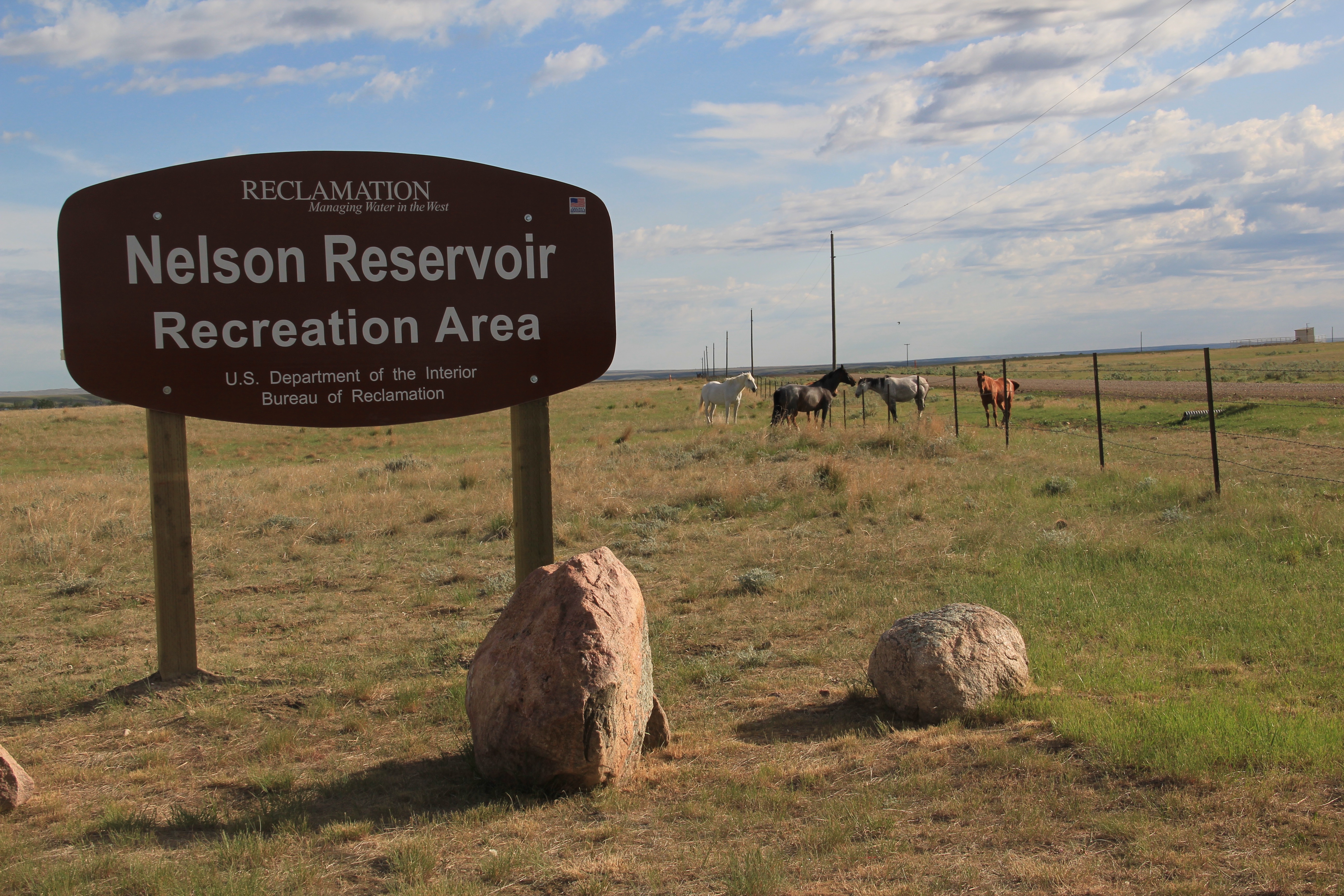
 The Milk River Project shapes so much of the Hi-Line, it has become just part of the scenery. I wonder how many travelers along U.S. Highway 2 in Phillips County even notice or consider the constant presence of the ditch along their route.

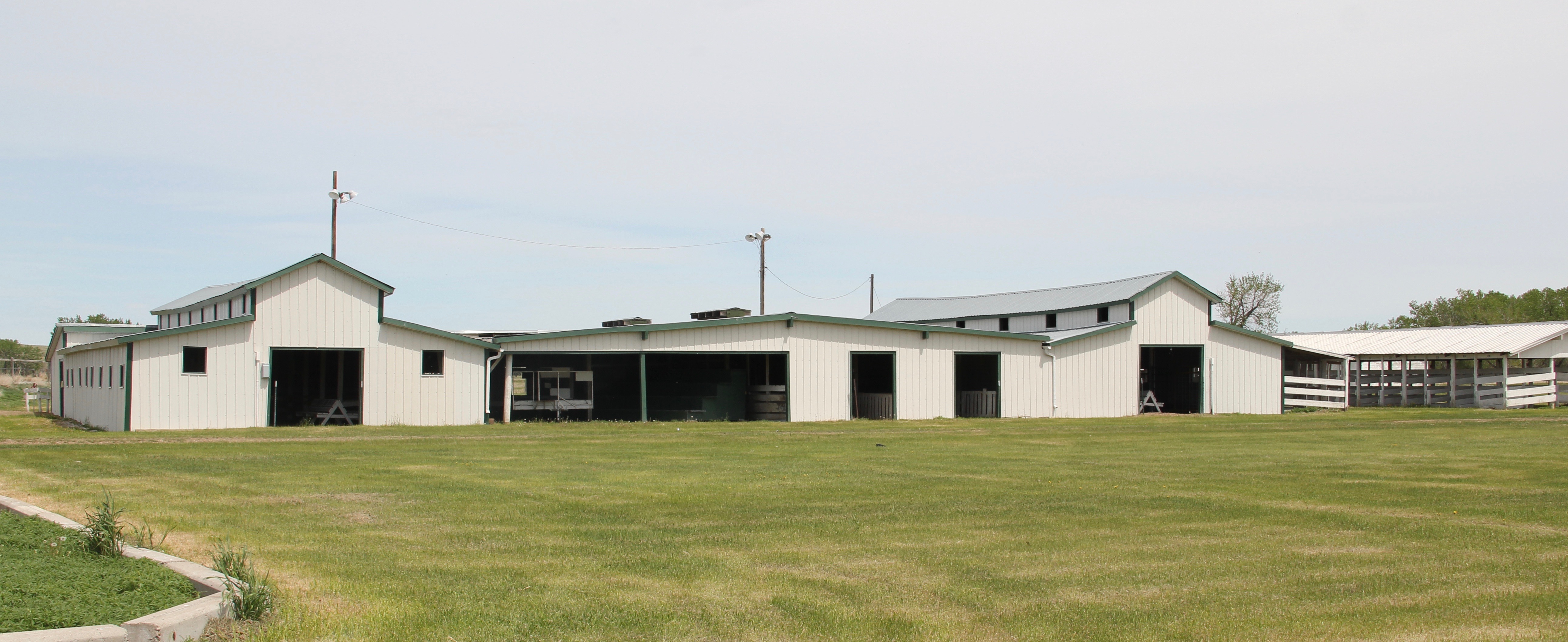 is a tiny place, almost 20 miles from the county seat of Malta. But at the time of the Milk River Project, Dodson was vital; the ditch neatly divided the town into two halves, and a major diversion dam was just west of town. Here was a perfect place, at the turn of the century, for a fairgrounds. And it is a gorgeous historic fairgrounds.




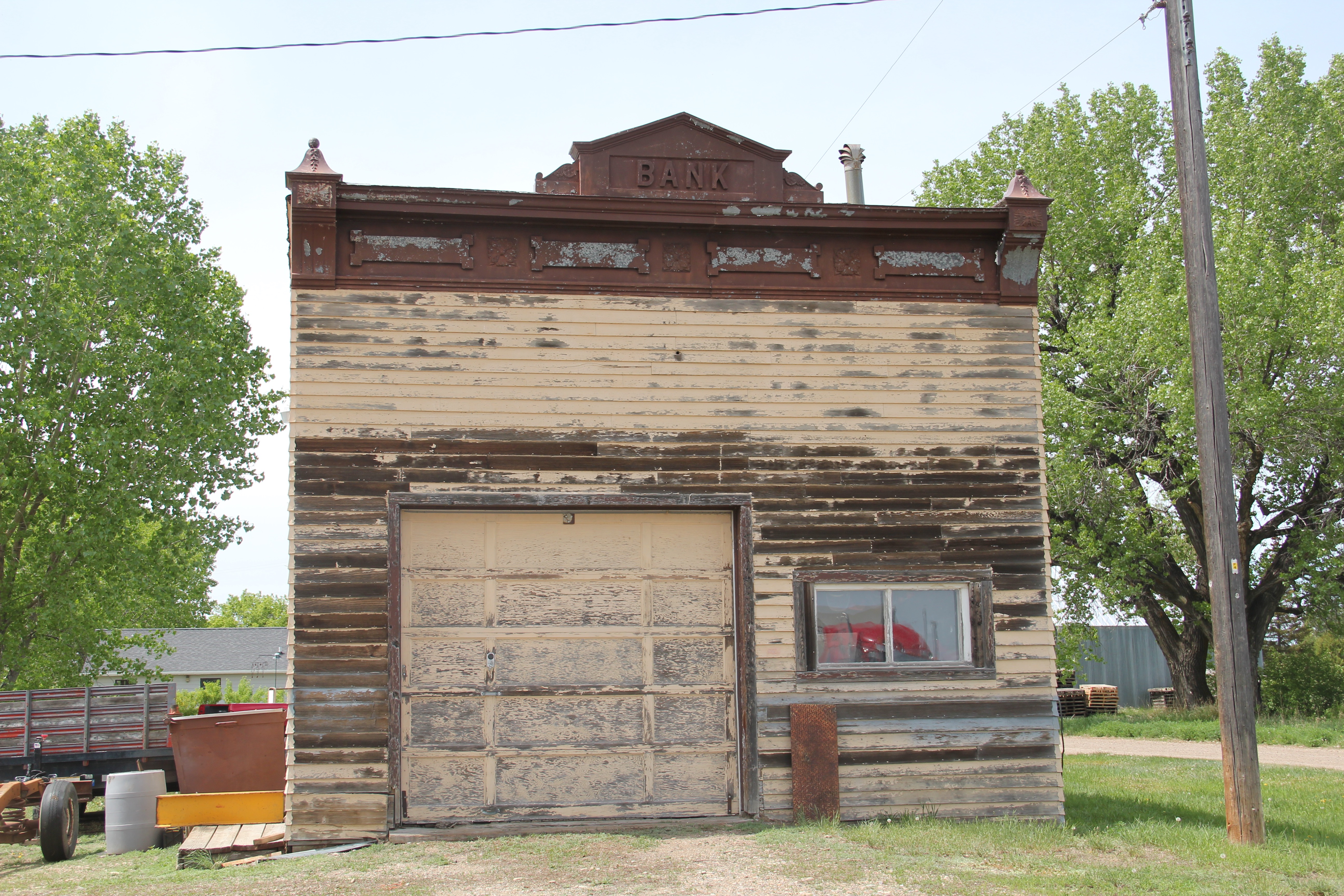
 Lehman, west of Chinook adjacent to both the Milk River and U.S. Highway 2, has almost totally disappeared as a place along the tracks. What is left of the town–this deteriorating commercial building in 2013–might even be gone today.



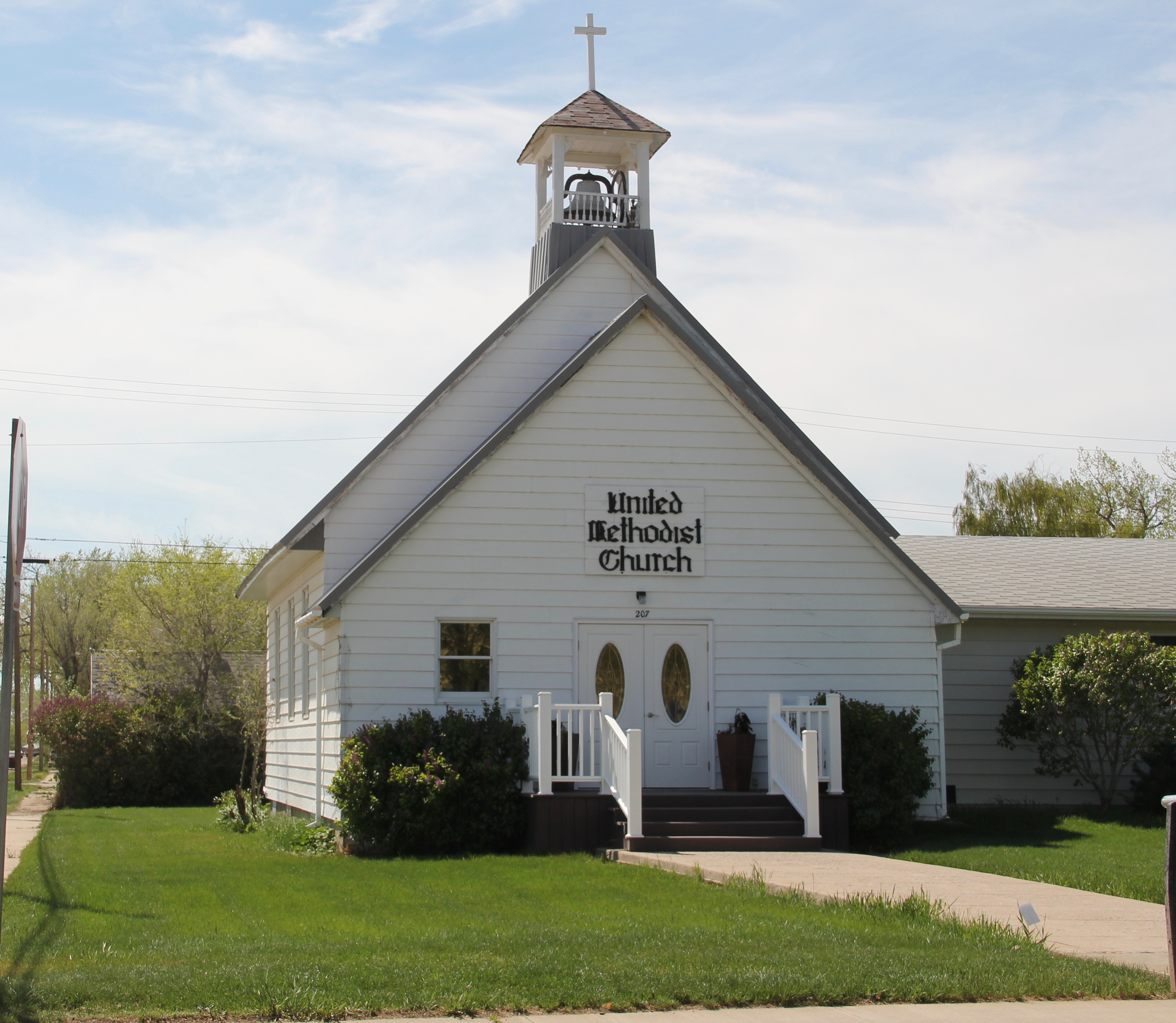
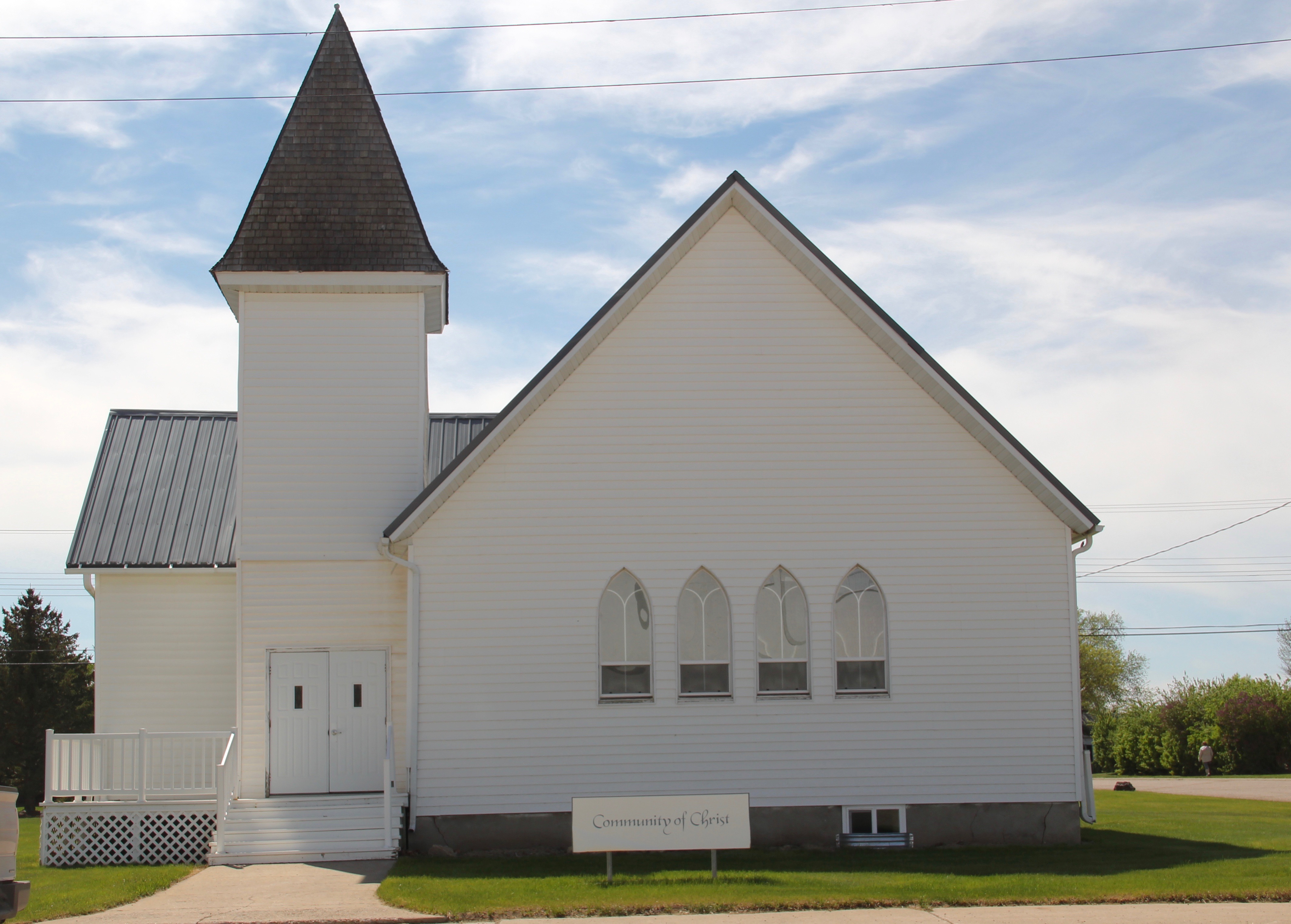
 modern style for many Catholic churches in eastern Montana. The Culbertson church is a good example of that pattern. Another church that belongs to the modern design era of the 20th century is Trinity Lutheran Church, especially as this distinguished building expanded over the decades to meet its congregation’s needs.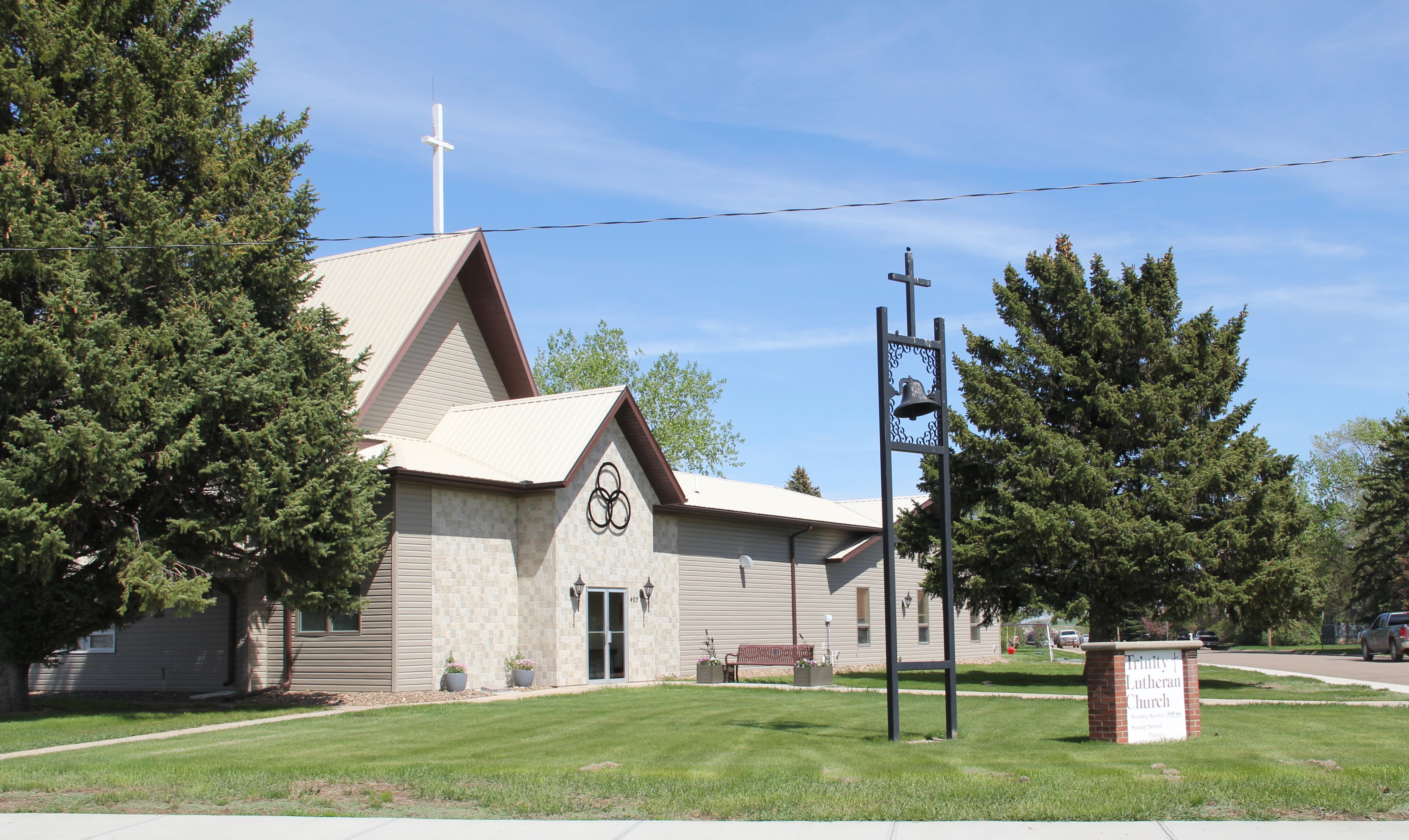
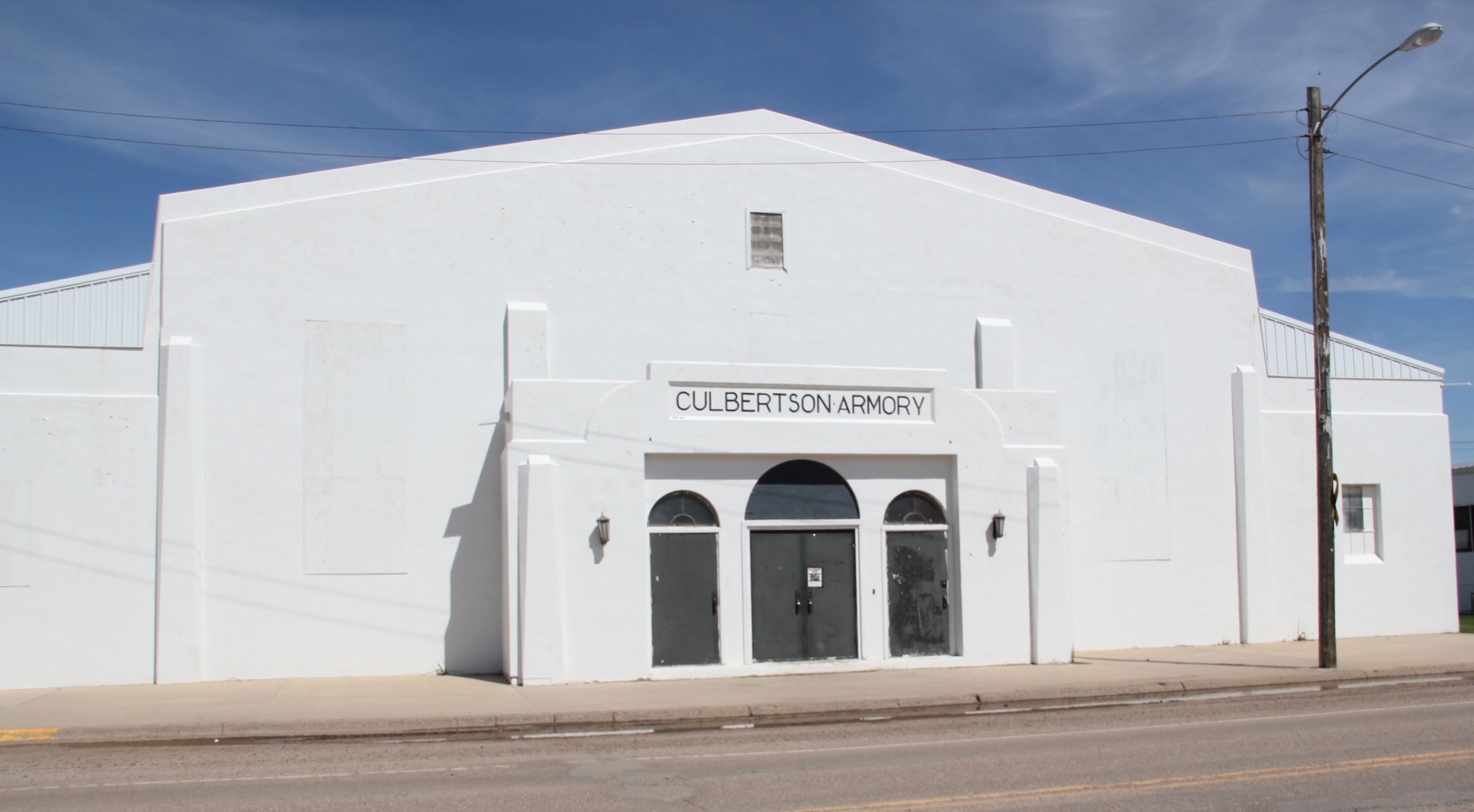






 
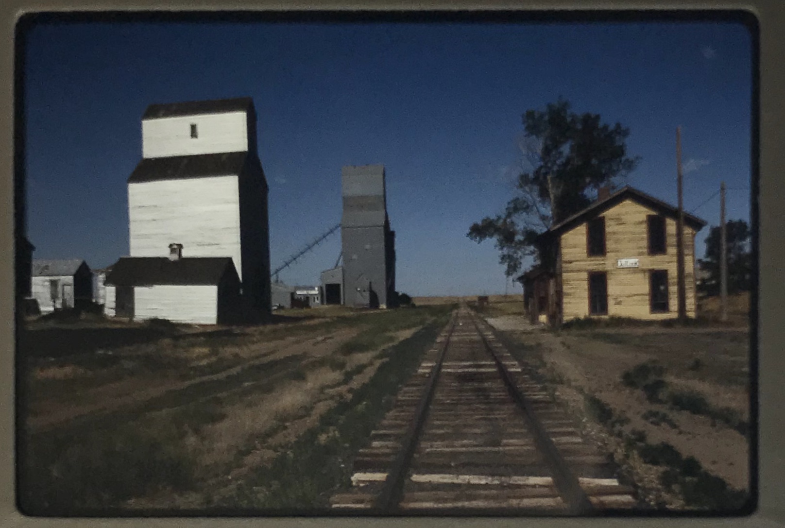
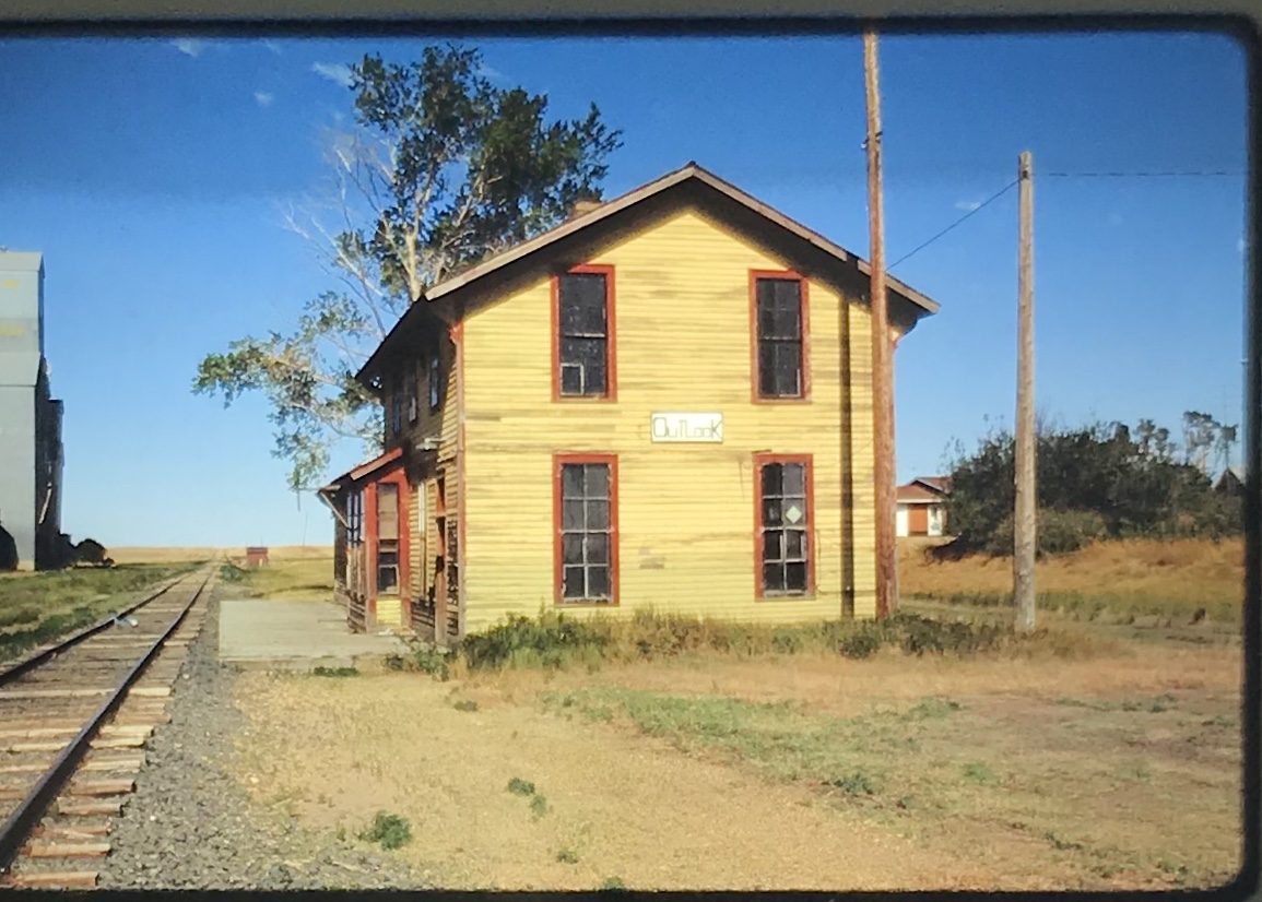

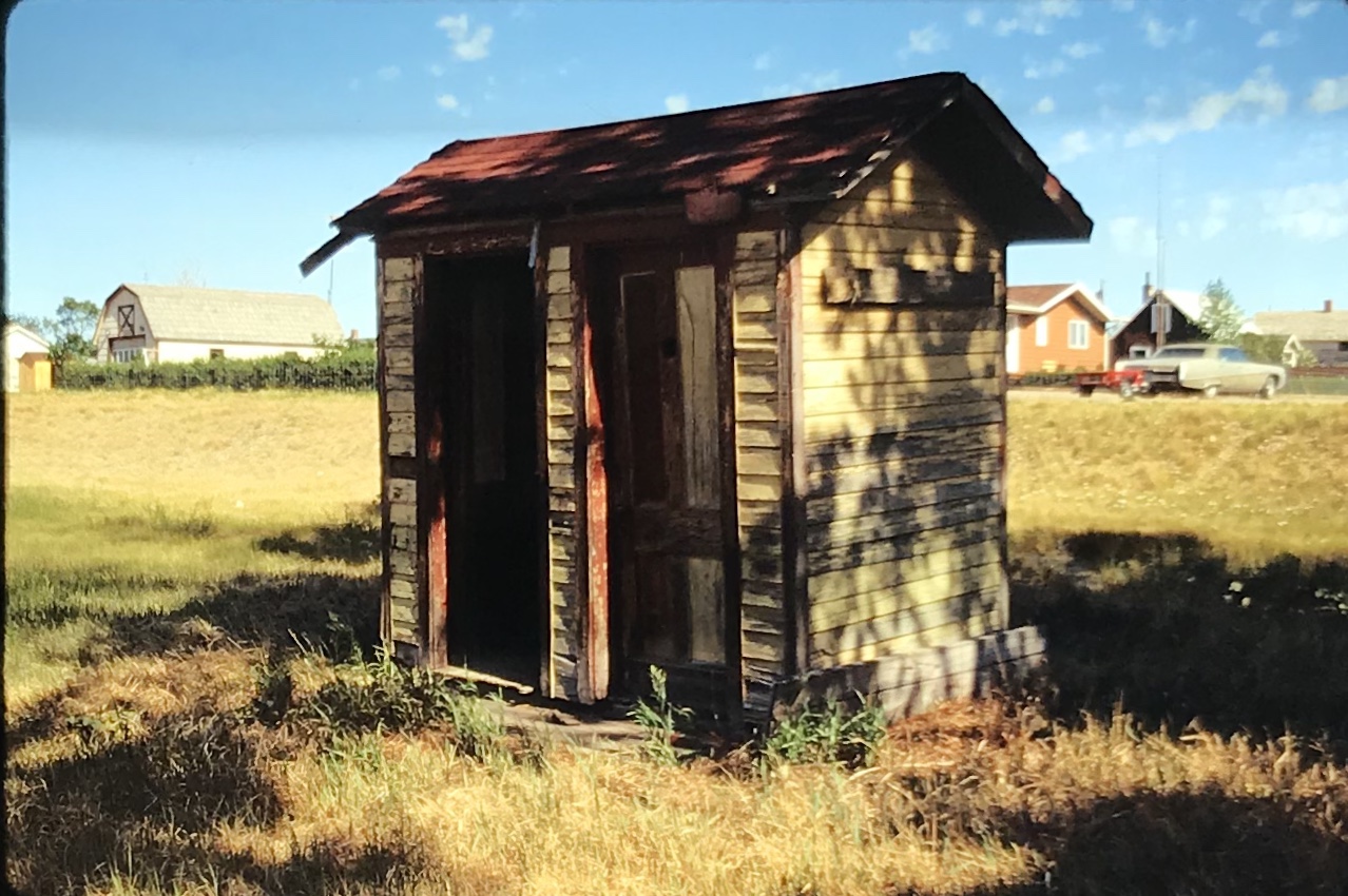


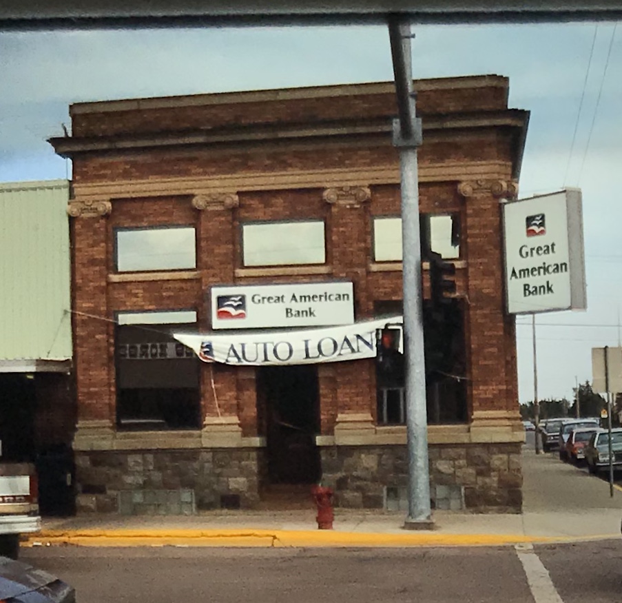


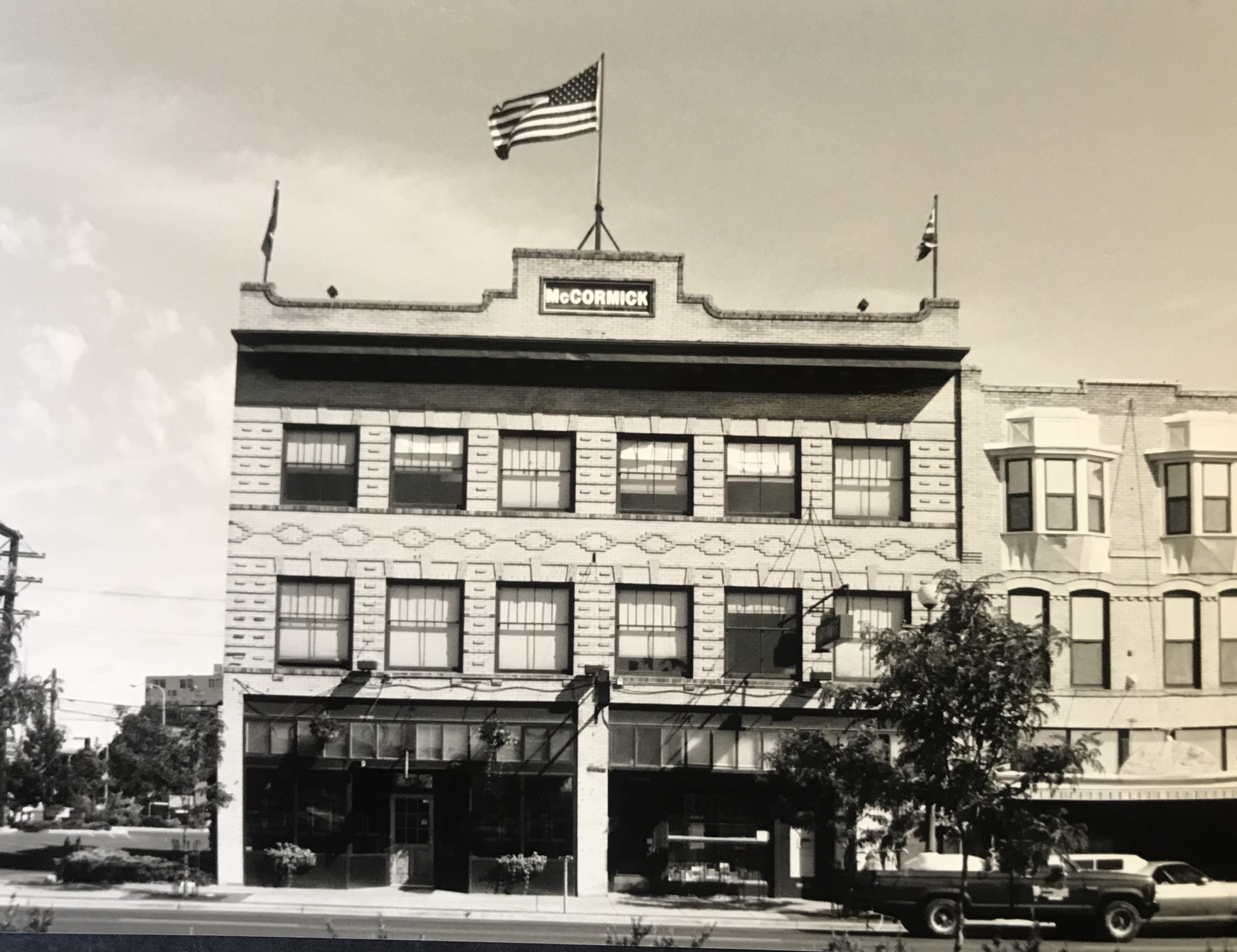


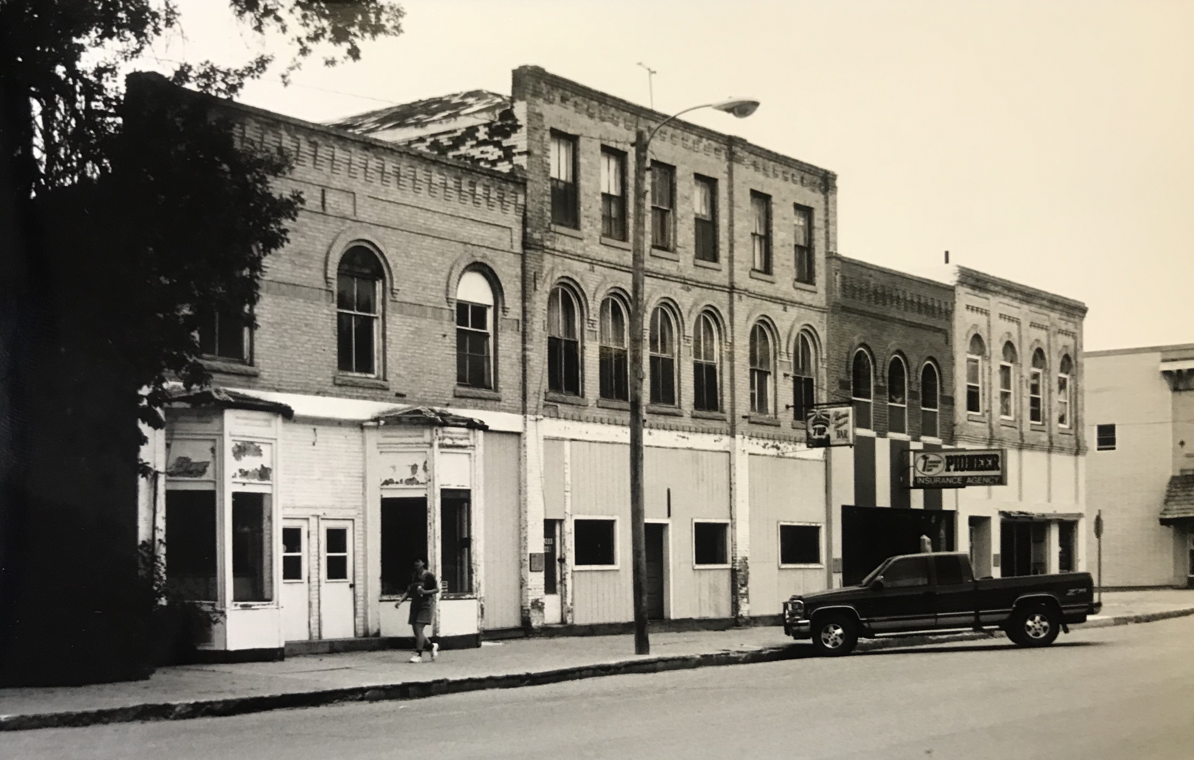


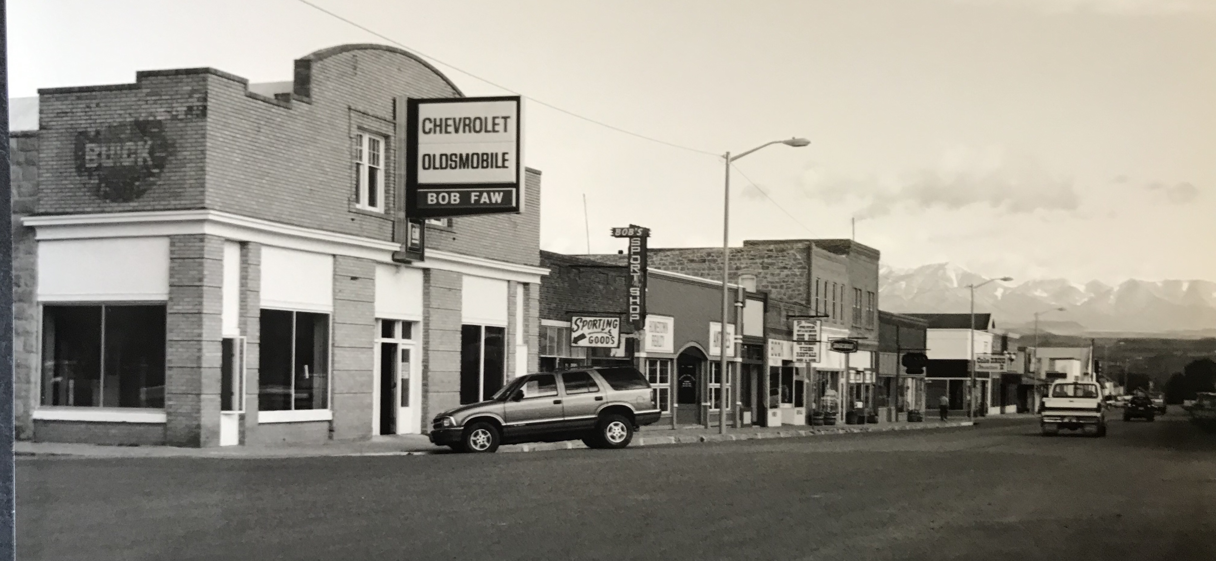


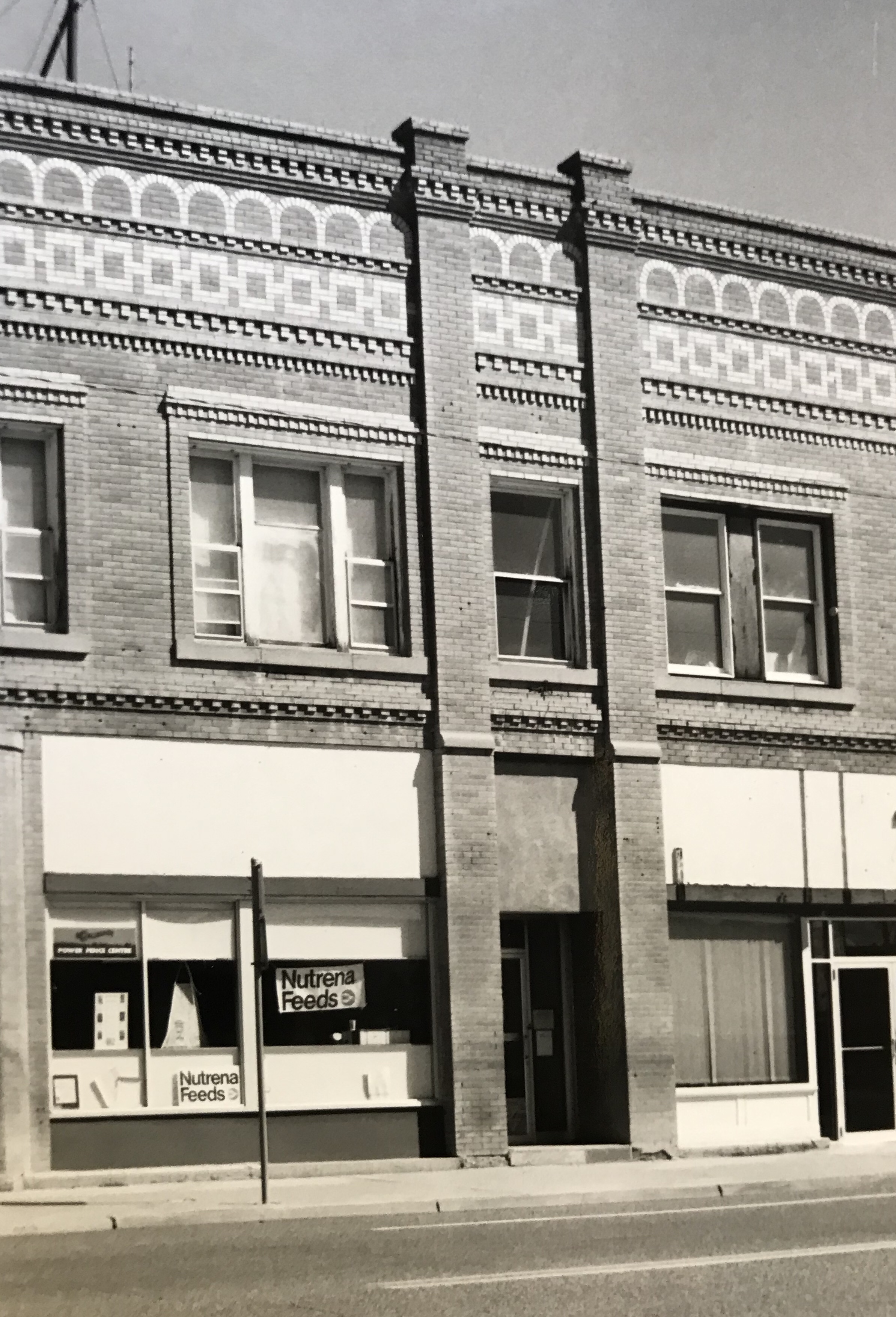




 deteriorating in the mid-1980s but a determined effort to save the building and use it as an anchor for the Montana Avenue historic district has proven to be a great success in the 21st century.
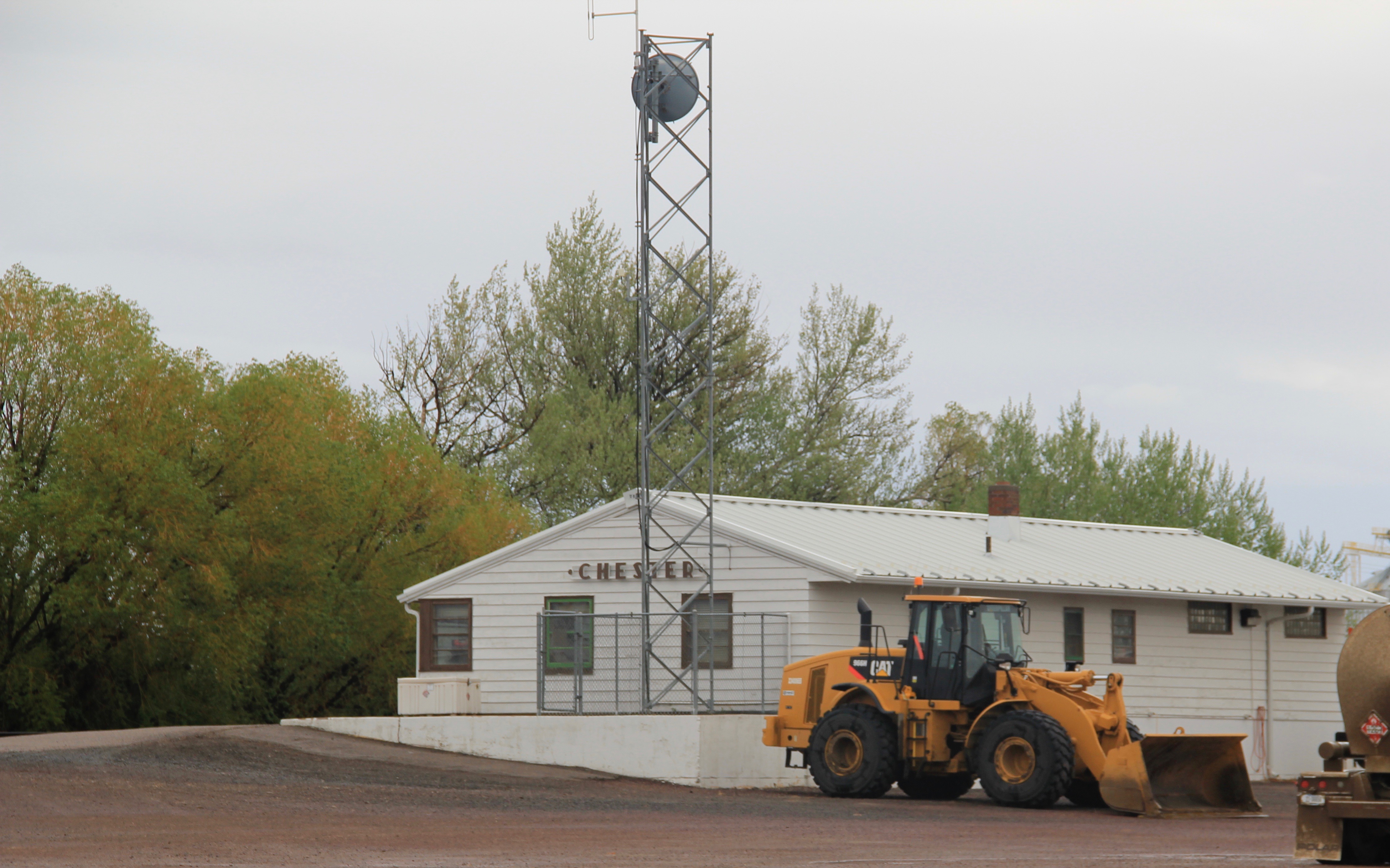
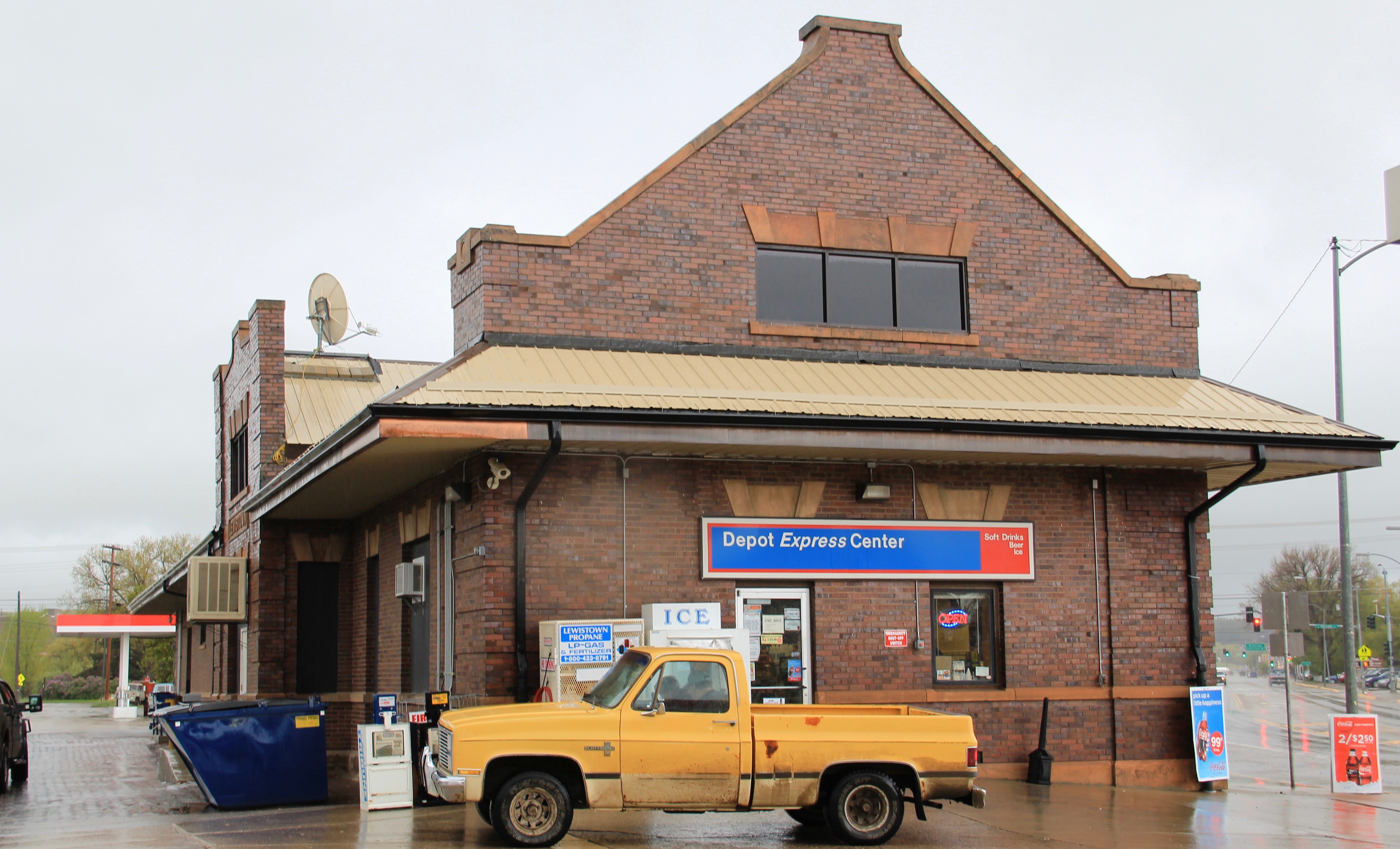
 Milwaukee Road depot there, since Harlowtown was such an important place in the railroad’s history as an electric line.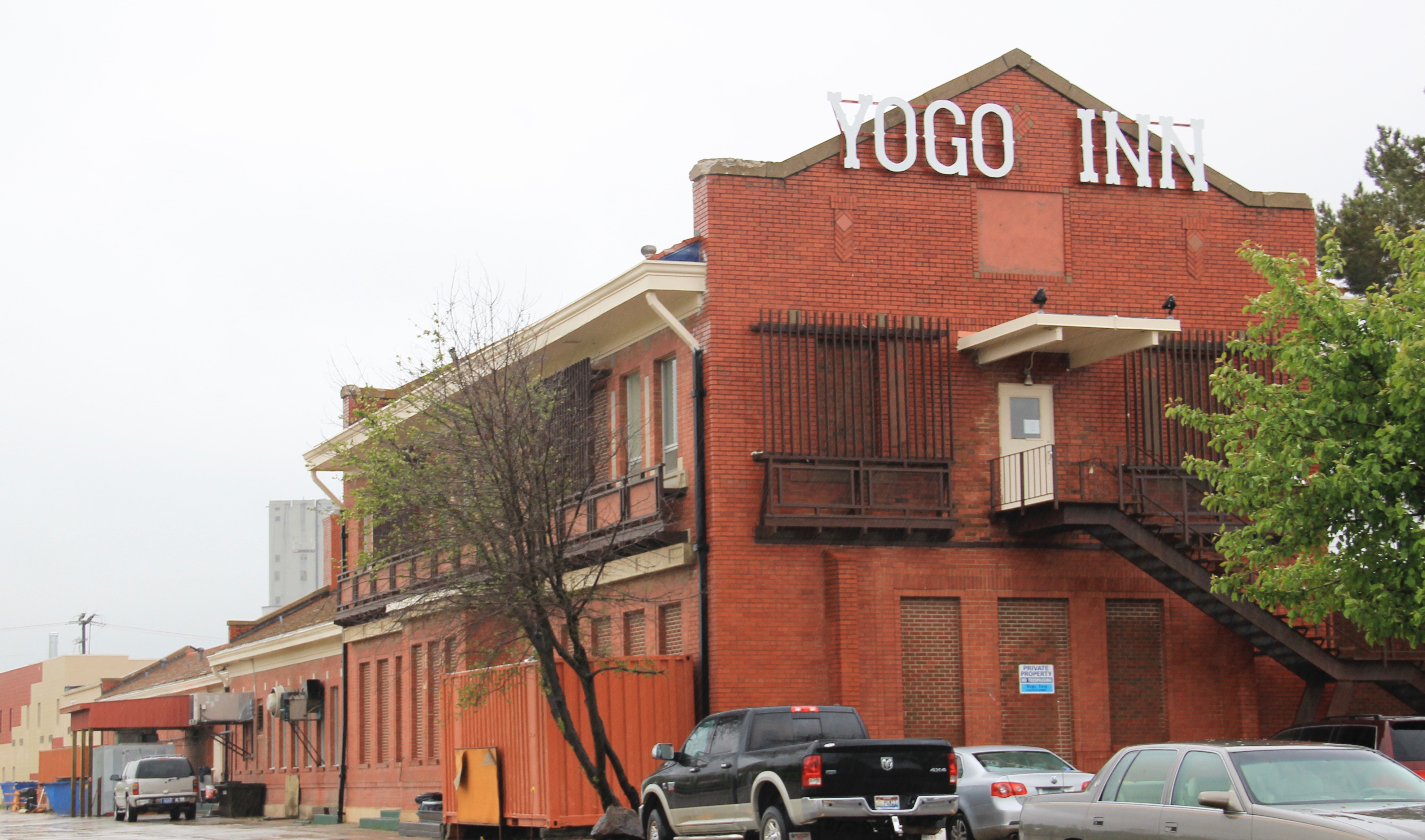

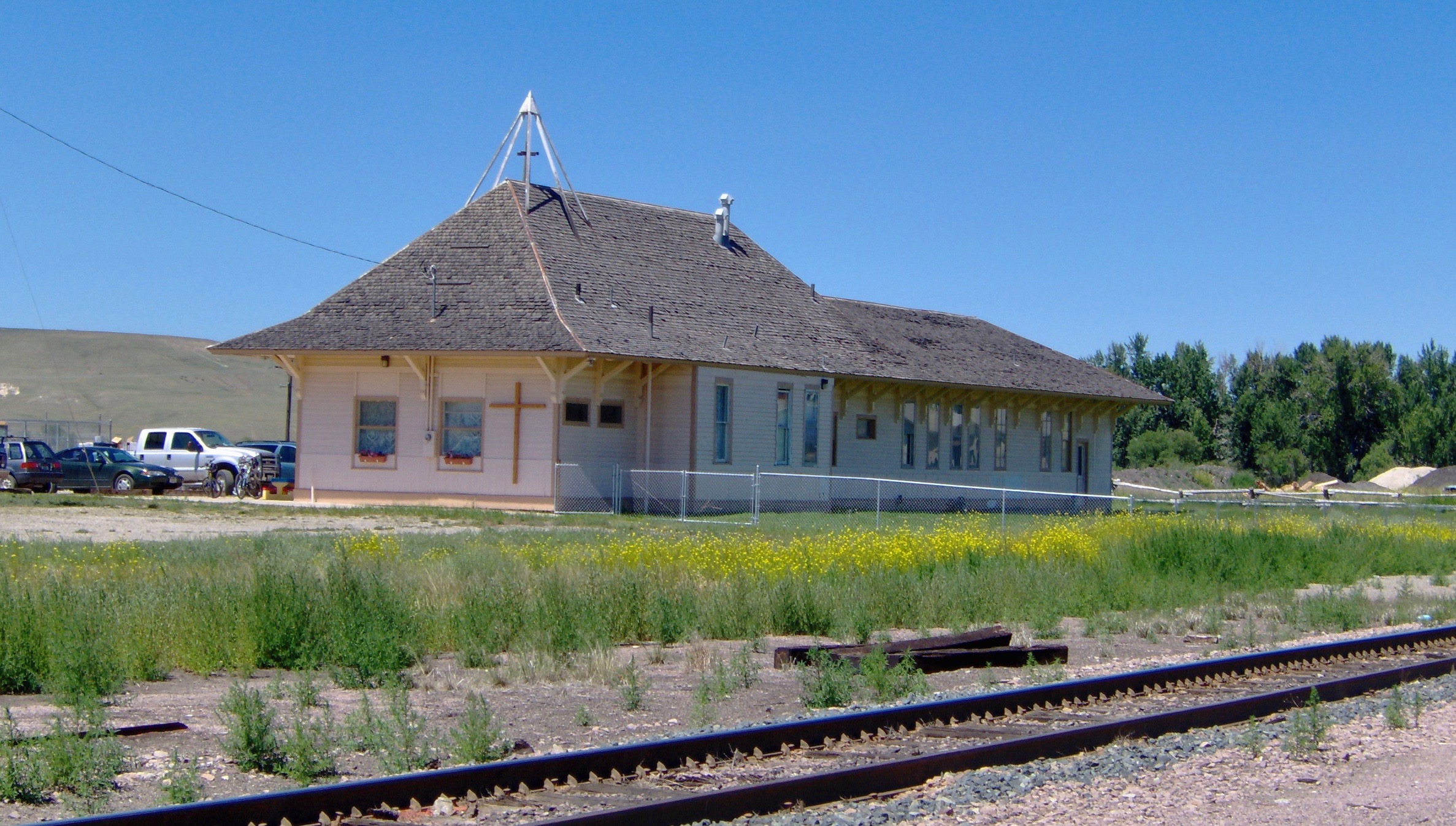


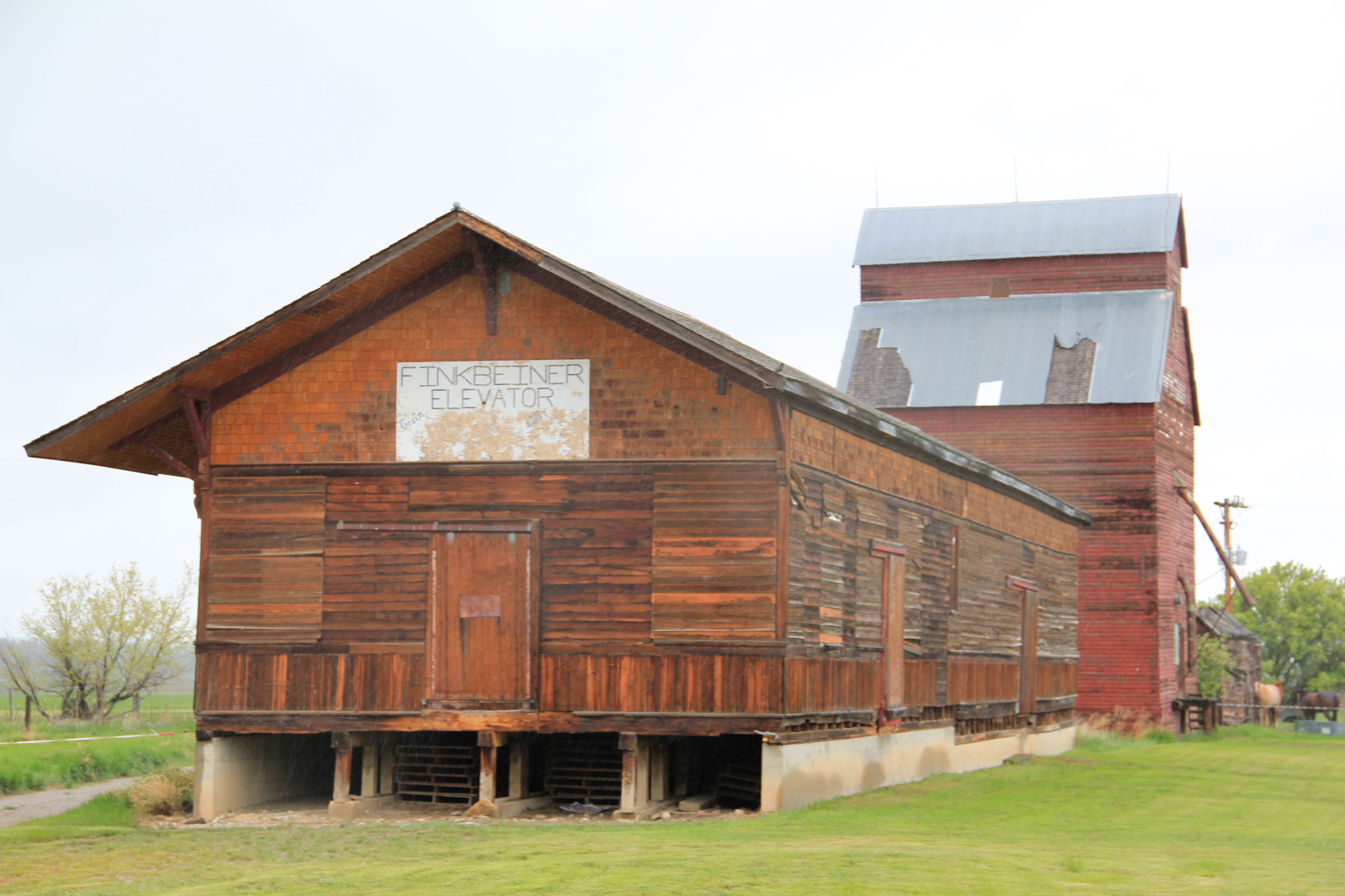

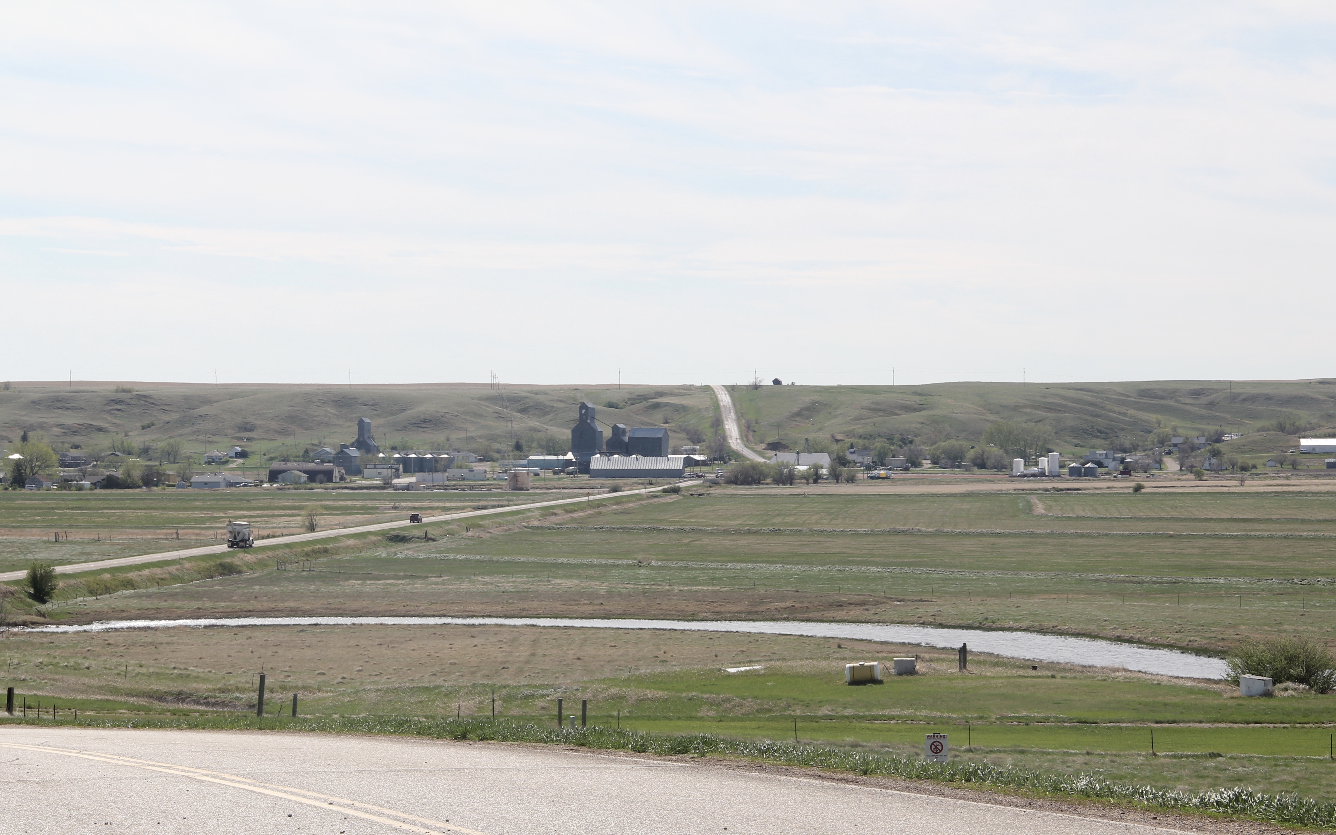
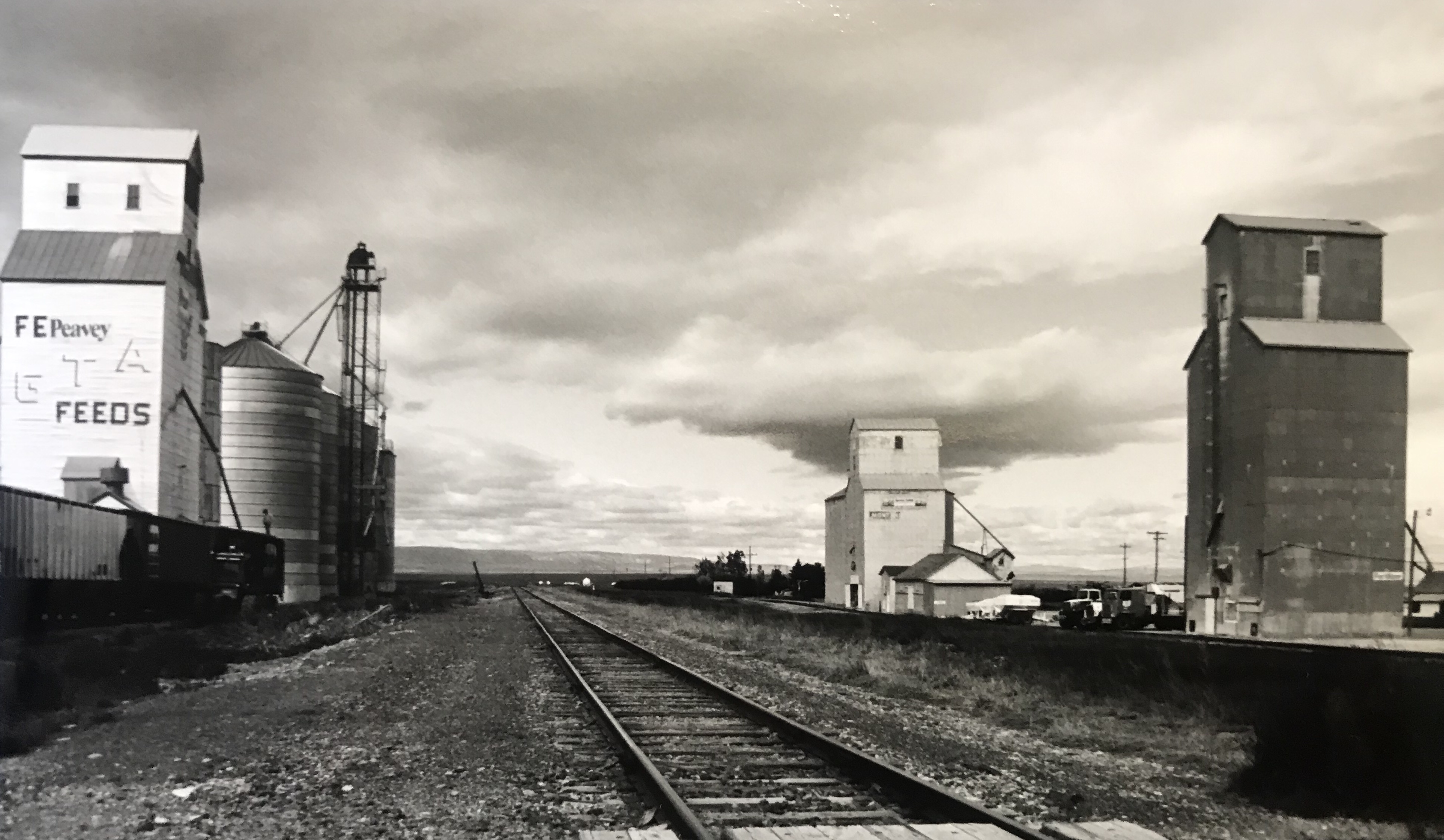
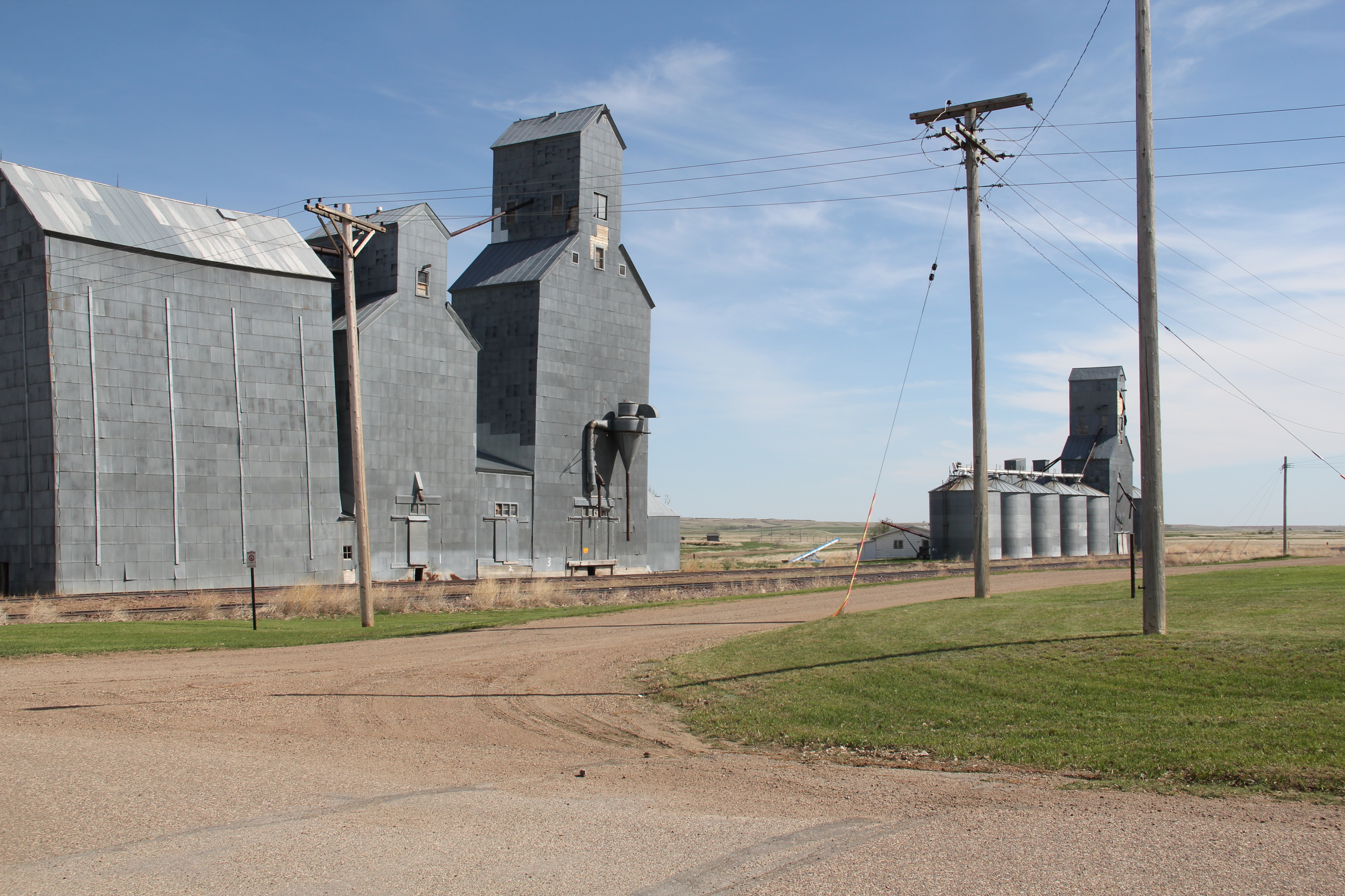 The town’s grain elevators really are its landmark–the town is along the railroad spur and sits off Montana Highway 16–without the elevators you might not even notice it.
 Agriculture defines the use of the largest buildings of the town, and while it is a tiny place Reserve serves a much larger region of ranches located between Plentywood, the county seat, to the north and Medicine Lake, to the south.
 This larger audience for services in Reserve helps to explain the survival of the Reserve Post Office–so many tiny Montana towns have lost the one federal institution that had been there since the town’s beginning.
 But naturally I will urge you to make a stop, however brief, at the Reserve Bar. This concrete block building, with its period glass block windows, is a friendly place, and a great way to talk with both residents and surrounding farmers.
