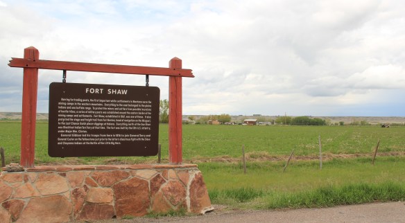
Another common features of heritage areas are properties associated with the nation’s military history and the process of nation building in the post Civil War United States of America. Cascade County has two major sites, one old and often forgotten, the other still at the heart of the nation’s defense. Let’s start with the oldest federal facility, Fort Shaw along the Sun River Valley in western Cascade County. As I was conducting the survey for the state historic preservation plan in 1984-1985, Fort Shaw was on everyone’s mind at the state historic preservation office. A proposal to list it in the National Register of Historic Places had been received, and the response was, generally, it is about time. This place had an important story to tell and was listed in 1985.

Commanders’ Quarters at Fort Shaw
As I noted in A Traveler’s Companion to Montana History, “Built in 1867 in what was then the heart of the country dominated by the Blackfoot Confederacy, Fort Shaw stood just a few miles west of where the Mullan Road [the important pre-Civil War federal military road through the region] crossed the Sun River. Colonel I.V.D. Reeves designed the fort, which was built with timber from nearby hills and sandstone and fieldstone found nearby. The soldiers also made adobe bricks that were used to construct the walls of many buildings at the fort. You can still see [in 1986 and 2015 as well] several of the original buildings, including two sandstone washhouses for the officers, the officers’ living quarters, and the commanding officer’s house.”


industrial school site, an interpretive site not there in 1984-1985 and another great example of how public interpretation of Montana’s landscape has broadened and improved in the last 30 years.
 Fort Shaw was not the region’s earliest mission site. That designation belongs to St. Peter’s Mission, located on the winding Mission Road to the south of Fort Shaw. An earlier blog discussed St. Peter’s but this special property is worth further discussion, as it is linked in time and purpose to what happened at Fort Shaw.
 The property has limited public accessibility as an active ranch surrounds it and uses some of the remaining historic buildings. But since my first visit in 1984, a small metal interpretive marker has been installed, which emphasizes its founding date of 1865-1866 by Catholic missionaries, many


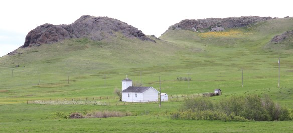
 Often we forget these connections between religious missionaries and the nation-building process of government. Within a few hundred yards of Fort Shaw school, for instance, is the old road connecting the school to the historic St. Ann’s Catholic Church (seen above is the historic church building; the congregation has built a modern church in recent years).
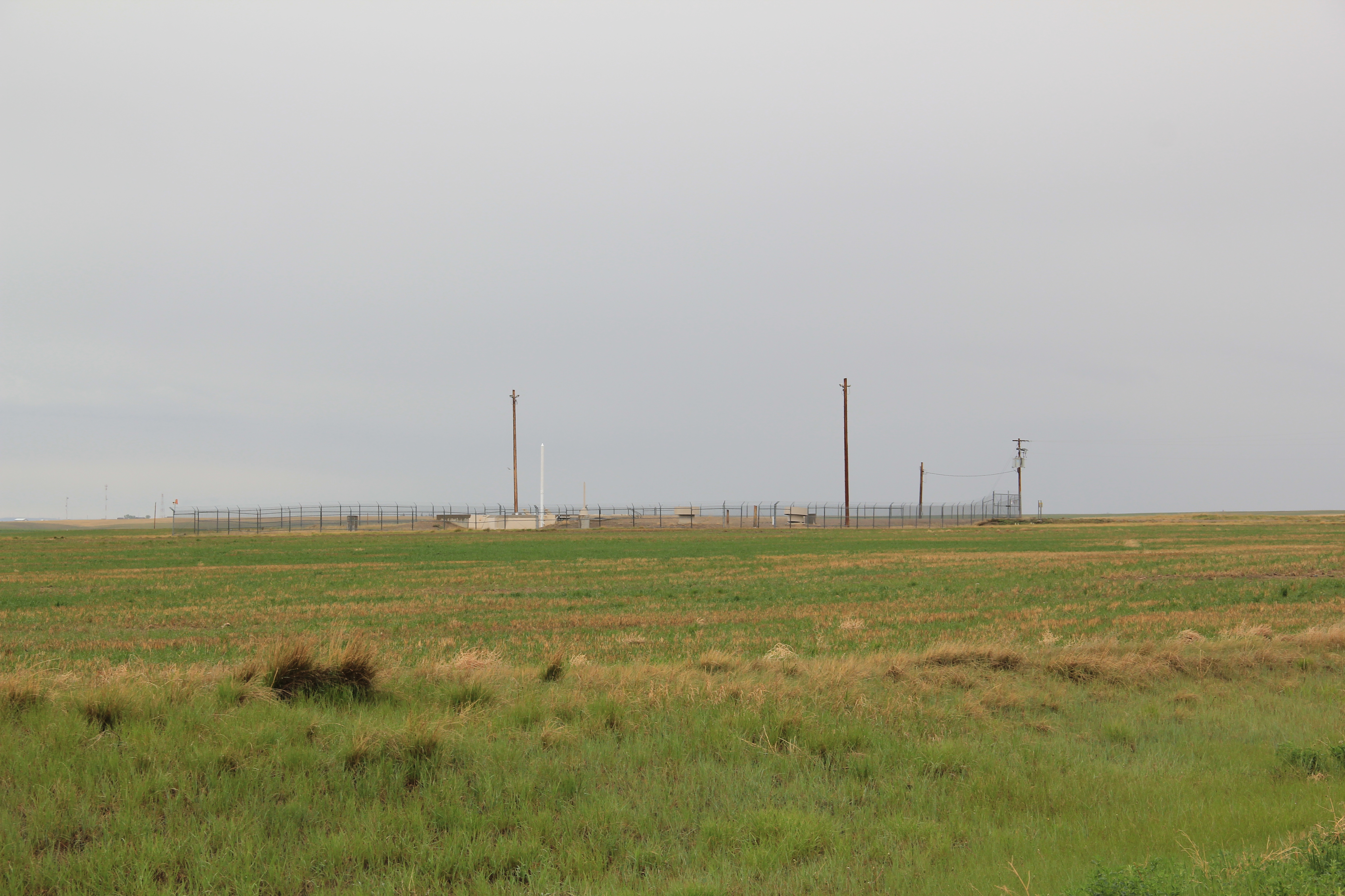
 And we further forget, or choose to ignore, how the messy present lies side by side with these older, seemingly sacred places. Along the Mission Road and the Simms Road are nuclear missile bases, some active, some inactive, that are administered by the Malmstrom Air Force Base in Great Falls. Much like Fort Shaw from 100 years earlier, military commanders in the 1960s saw Cascade County as part of the edge of America’s national defense, the ideal location for nuclear bases that could protect, or retaliate, in case of a nuclear strike from the nation’s enemies.
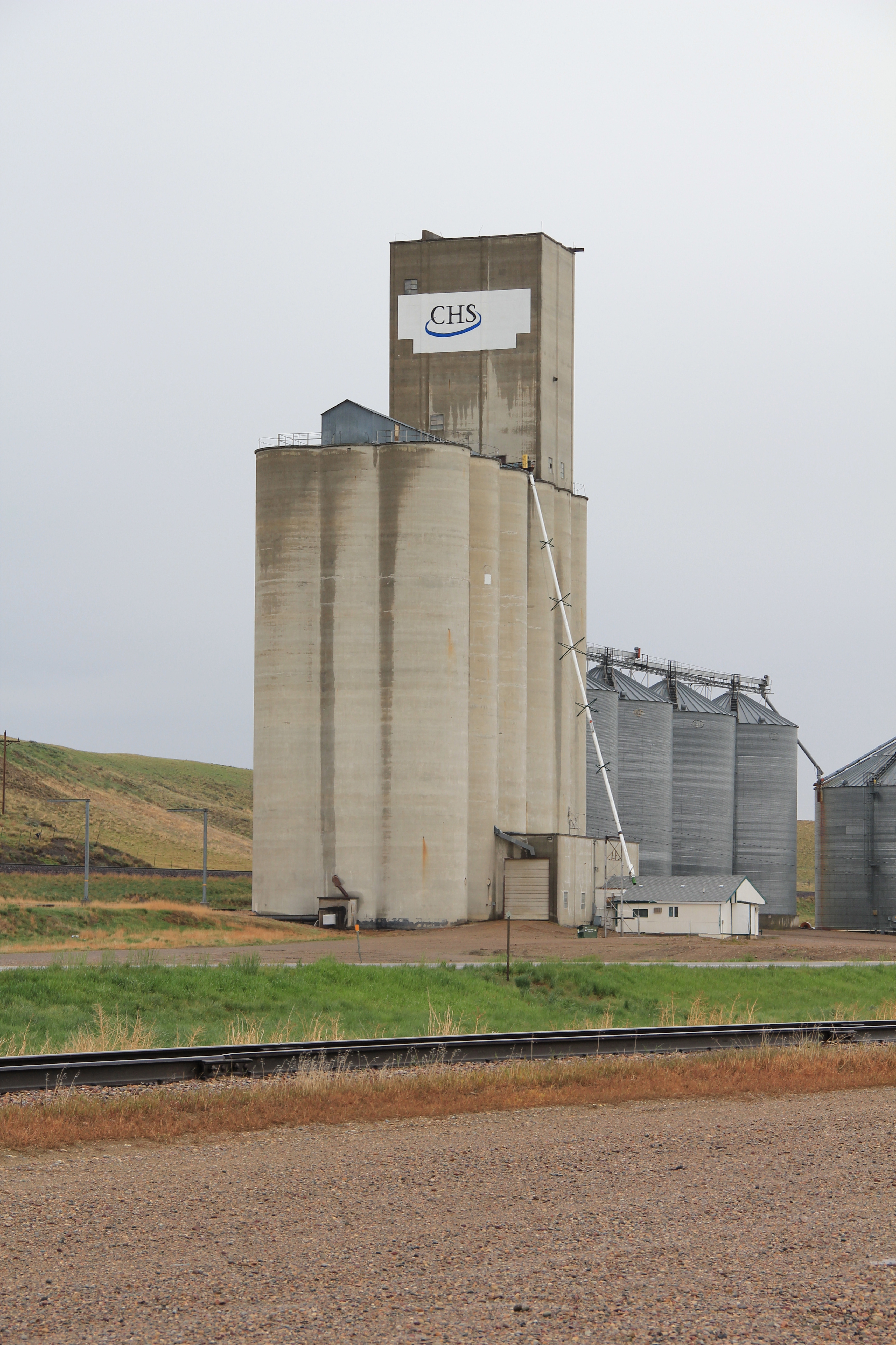
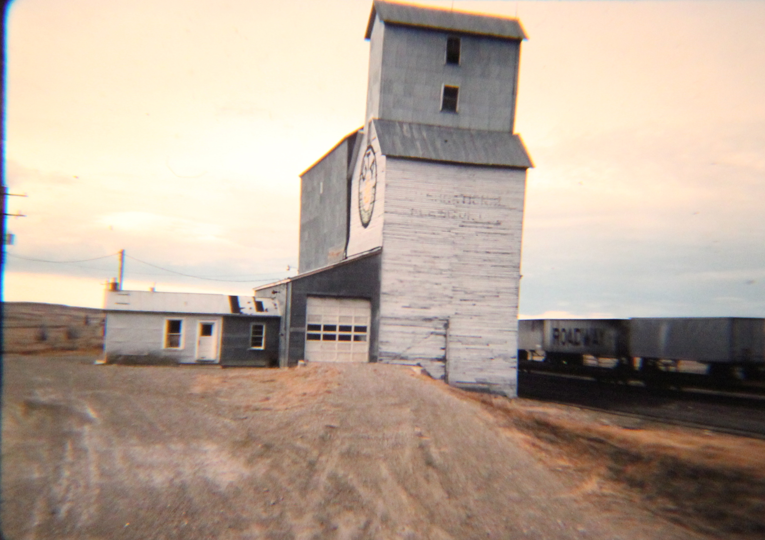
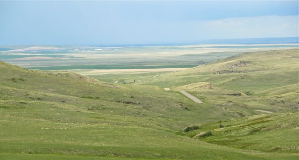
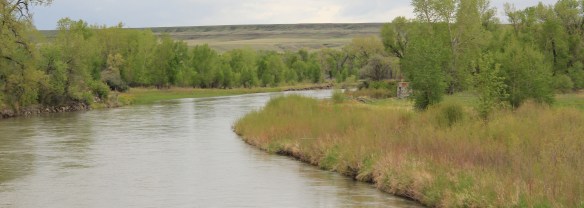
 The Sun River Valley was transformed by homesteaders and irrigation during the great boom of the early 20th century; it shares that story of course with many towns in the Great Falls heritage area. Montana Highway 21 (shown above) connects with Montana Highway 200 to provide great opportunities to explore that landscape. The Sun River project of the U.S. Bureau of Reclamation especially left its mark.


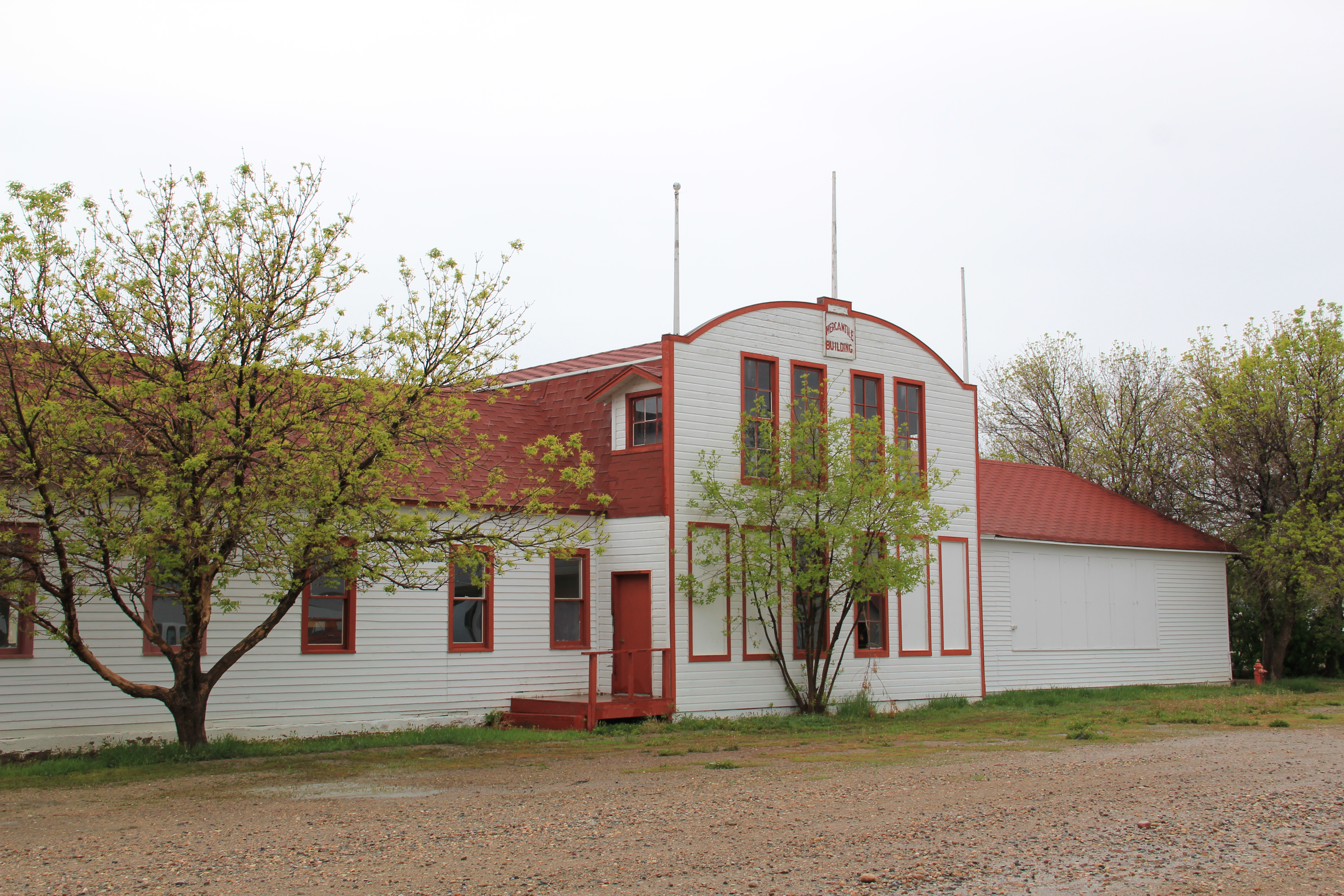
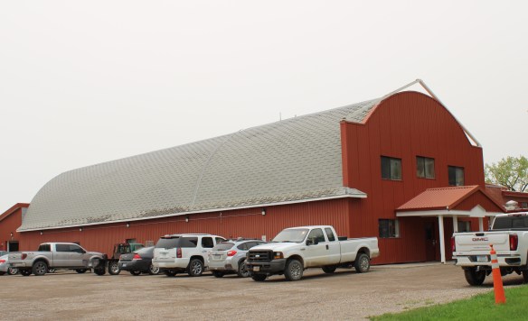
At Simms, reclamation engineers designed what they considered to be a model townsite plan, with the school at the center, and broad avenues radiating out from the school. Simms no doubt never reached the population that the planners envisioned, but here too in an unlikely place is the hand of the federal government, re-orienting the landscape in ways that can be seen, if you know where to look.

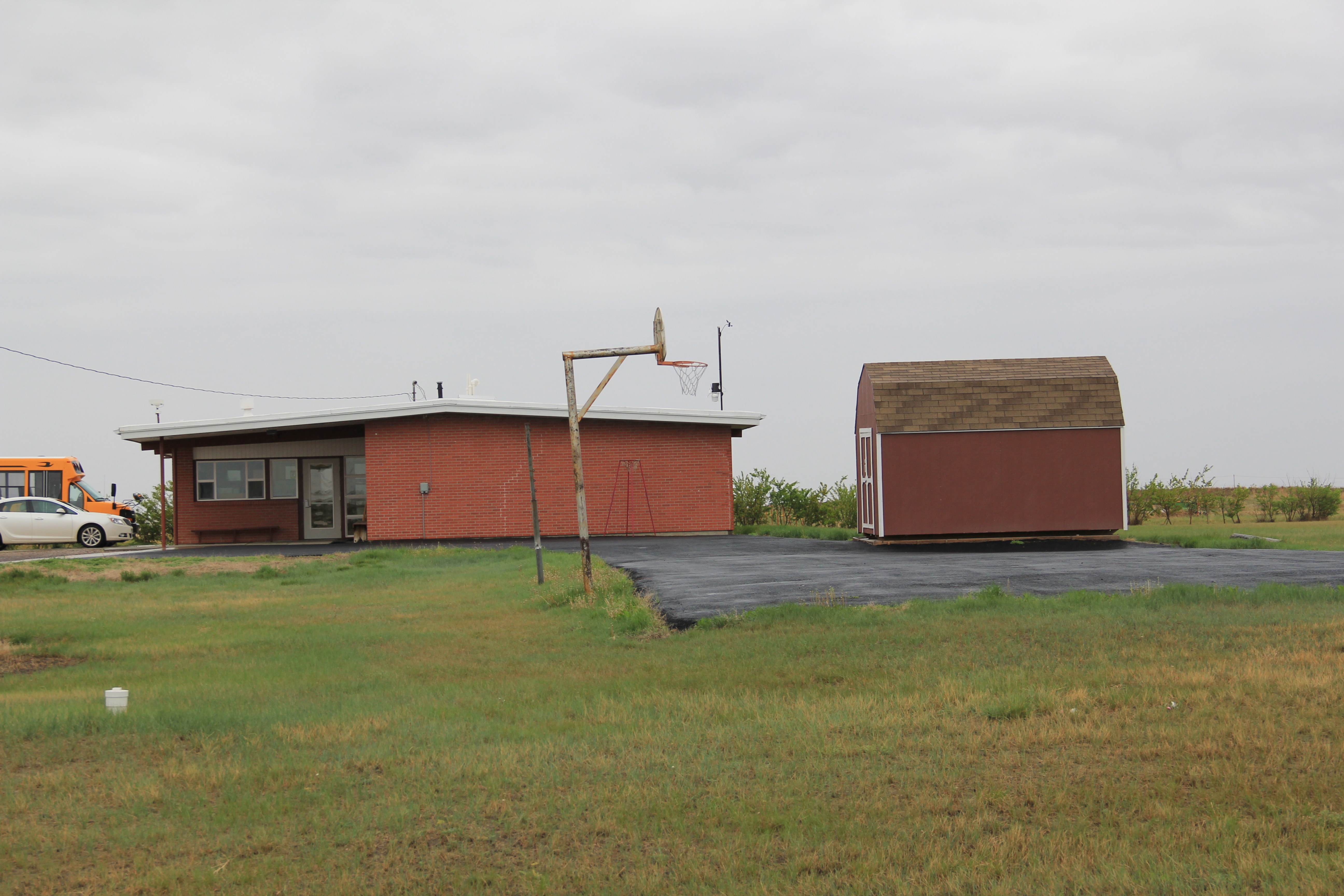
The school is very much the focus of the community–and the gymnasium at the rear has been the place for community events and sports for almost 100 years. The football and track field is in great shape too–a reminder of how sports bind the valley’s residents.

Not far from the school is another community building, the women’s club hall that dates to the Sun River project’s beginning years. I hope to see this building listed in the National Register in the future along with the other historic women’s club buildings scattered across the state.

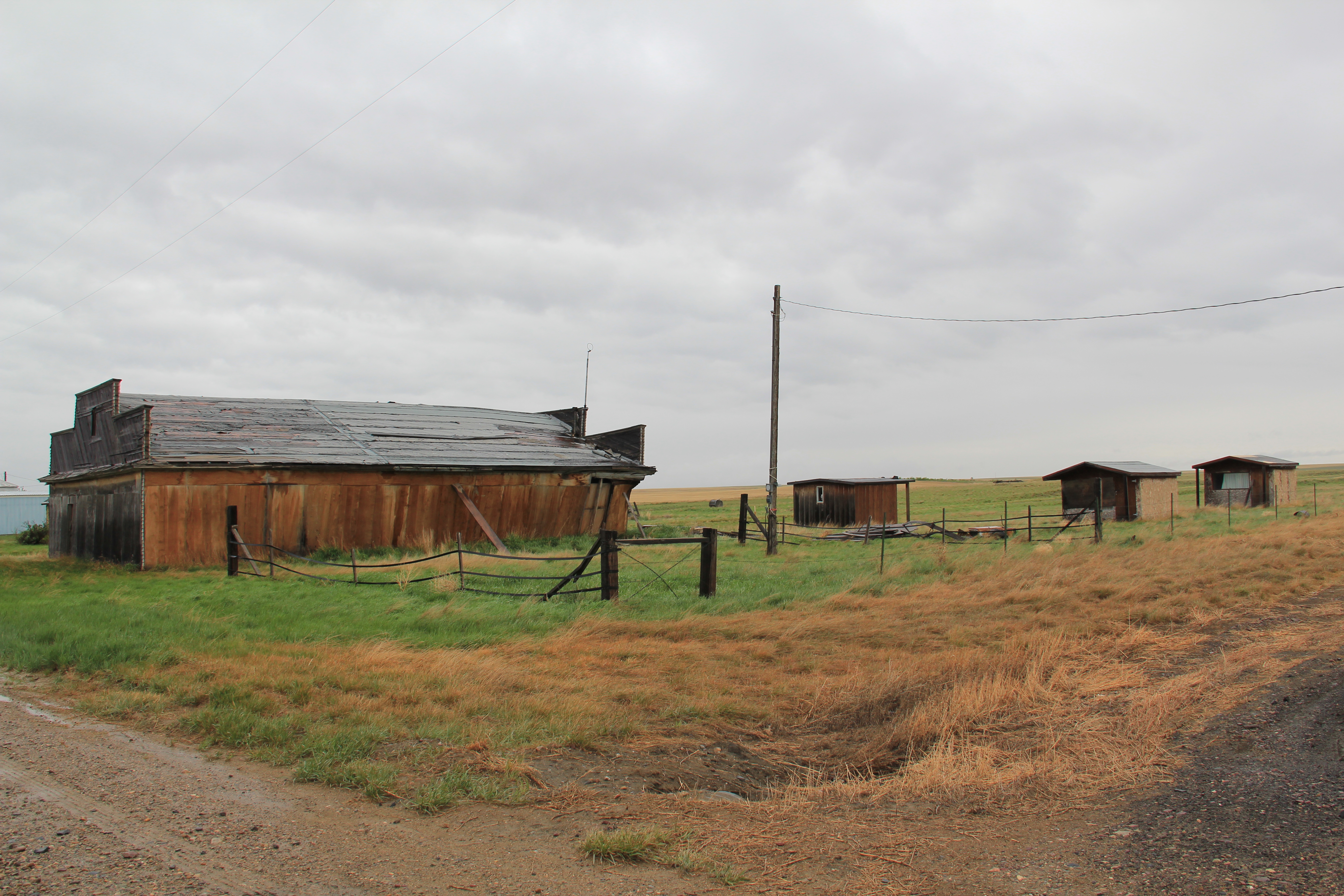
West of Simms was property of note to my SHPO colleagues in 1984 was the J.C. Adams Stone Barn, which had received a grant for “brick and mortar” work as part of President Reagan’s efforts to jump start the economy in 1982-1983. This magnificent structure predated the federal agricultural programs, dating to the mid-1880s. It rather spoke to the promise of stock-raising and freighting–Adams did both–as the region began to develop in the last years of the Montana territorial period.
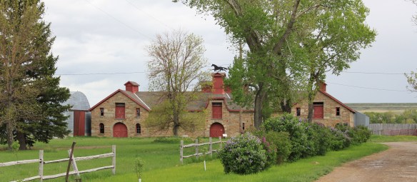 The barn is part of a still active ranch and is on private property. But the stone masonry can be viewed and appreciated from Montana Hwy 200.
 When one considers a Great Falls heritage area, the Missouri River of course will take center stage; as the next postings will show, it should be at the center of the story. But what happened along the Sun River, and what remains today, adds immeasurably to the national story and the overall significance of the region.