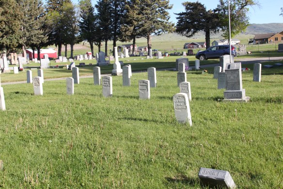
In the early posts of this exploration of Montana’s historic landscape I spoke of the transformation that I encountered when I revisited Glendive, the seat of Dawson County, for the first time in about 25 years, of how local preservation efforts had kept most of the town’s railroad era landscapes alive while leading to the revitalization of its amazing number of historic residences from 1900 to 1950.
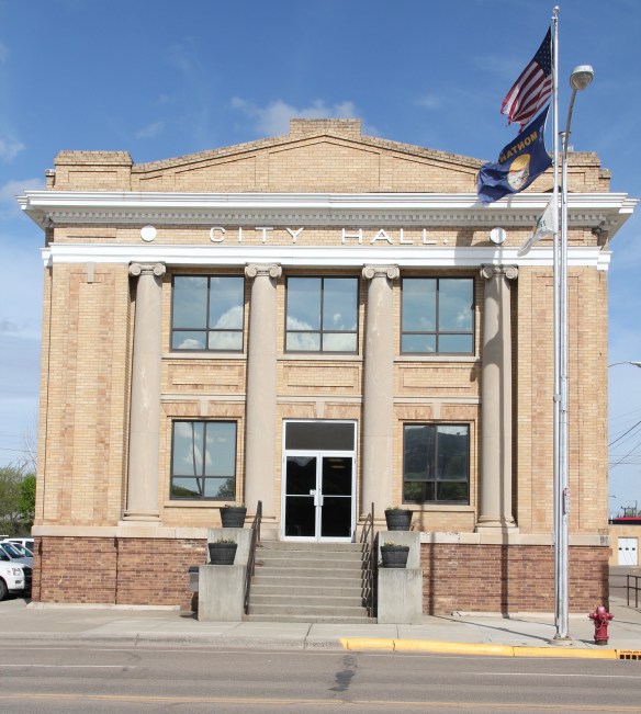 Let’s now turn our attention to public landmarks, old and more recent, that also deserve notice, starting with the magnificent Classical Revival-styled City Hall, one of the anchors of the Merrill Avenue historic district, which is listed in the National Register of Historic Places. Built in 1914, this all-in-one municipal building is an impressive architectural
 statement by the second generation of Glendale’s leaders that the town would grow and prosper during the homesteading boom of the first two decades of the 20th century. The architect was Brynjulf Rivenes of Miles City. His firm had so many commissions coming from eastern Montana and Yellowstone Valley patrons that by this time Rivenes operated offices in both Glendive and Miles City.
 Rivenes had earlier marked Glendive’s new emerging townscape with his Gothic design for the First Methodist Church, in 1909. Fifteen years later, he added another landmark church design with the Romanesque styled Sacred Heart Catholic Church (1924-1925).

The grand circular entrance window depicted the story of the sacred heart of Jesus. Bishop Mathias Lenihan dedicated the window in 1925. The tan brick of the building came from Hebron, North Dakota.

Rivenes also designed various commercial buildings along Merrill Avenue and its prominent side streets as Glendive business boomed from 1900 to the era of the Great Depression. During the New Deal, the federal government worked with local and state government to improve local infrastructure and irrigation. It also sponsored the construction of the Colonial Revival-styled Glendive post office, by federal architect Louis A. Simon, in the mid-1930s.
 With recovery and the arrival of more and more automobile traffic from the late 1930s to the 1950s, many of the older buildings received mid-century updates. The remodels could

overwhelming, like the glass block windows and brick wall inserts at the Classical Revival styled Masonic Lodge, above, or they could be more effective blending of the early 20th past with the mid-century present as at the Kolstad Jewelry shop, below.
 The 1950s and 1960s brought many changes to Glendive. Post World War Ii growth both in the town and the many surrounding ranches led to expansion and remodeling at the historic Glendive Milling Company in 1955. When the historic districts for Glendive were designated in the late 1980s, preservationists questioned the inclusion of this important industrial/agricultural complex due to the changes of the 1950s. Viewed today, however, the mill complex is clearly a very significant historic site.

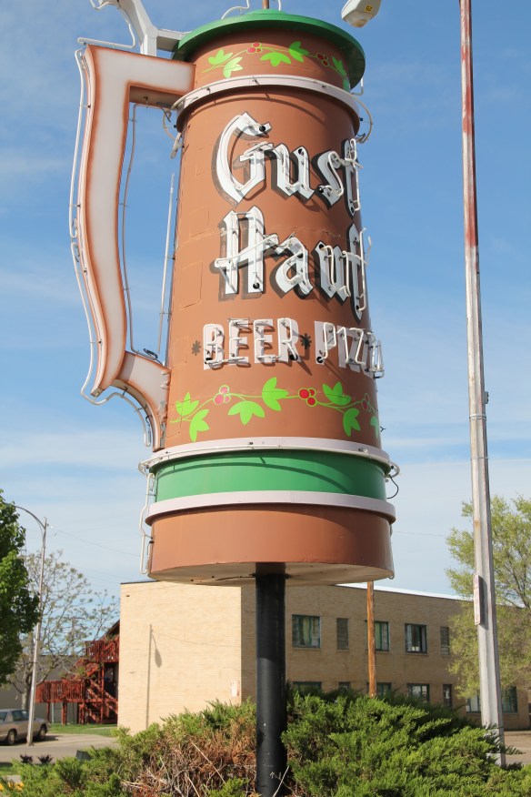
As passenger traffic on the Northern Pacific Railway slacked, automobile traffic on the Yellowstone Trail (U.S. Highway 10) became more important as the old motel above also attests. Architectural signs like for the Gust Hauf located at 300 West Bell Street downtown don’t really make sense today but it did in 1965 when travelers were still using U.S. Highway 10 every day.
 More contemporary styled church buildings were also dedicated in the mid-century, such as the classic “contemporary” styling of the Assembly of God building, with classrooms at
 at the front rather than the rear, or the modified A-frame style of the First Congregational Church, which I shared in an earlier post on Glendive.
 Glendive is very much a blending of different 20th century architectural styles, reaching back into the region’s deep, deep past, as at Makoshika State Park, where the visitor
 center/museum is an excellent example of late 20th century modern style–clearly a building of the present but one that complements, not overwhelms, the beauty of the park itself.


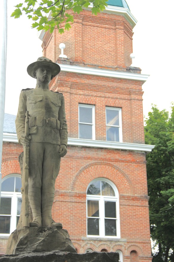
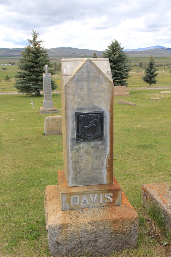 Paul E. Davis’ gravemarker at Valley Cemetery, along the historic Mullan Road, in Powell County is an early example of the WWI doughboy bronzed and rooted in Montana soil. The plaque says “America Over the Top,” a reference to the courage it took to jump out of the trenches and charge the enemy but also a reference to how the world war literally put America in a new position of world leadership.




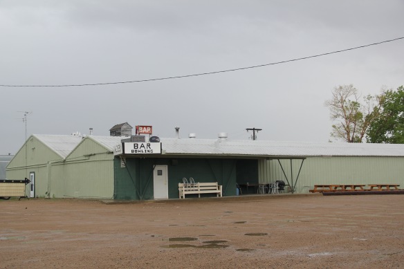
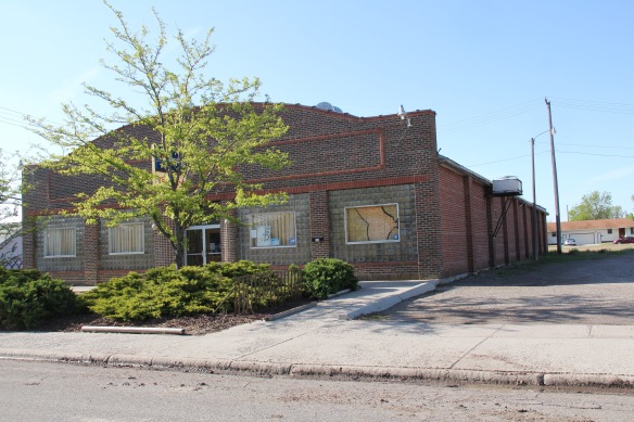 Community Center Bowl in Hardin, Big Horn County, is a wonderful recreational space, with its bays defined by c. 1960 styled “picture windows” framed in glass blocks. The owners have refurbished the lanes two years ago–this institution still has years left in it.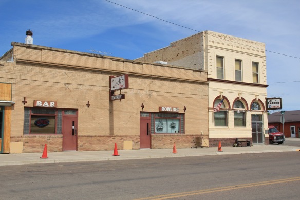
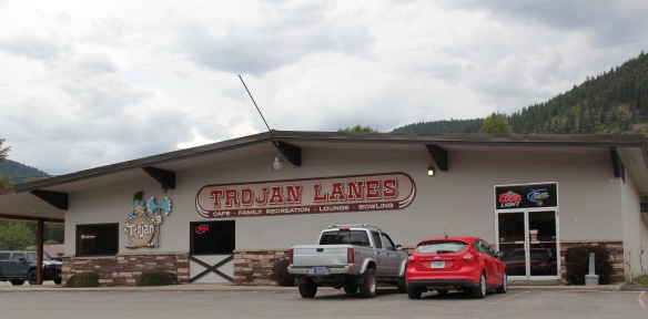 From the southeast corner of the state to its northwest corner–the Trojan Lanes (so named for the school mascot) in Troy, Montana. Here you find the type of alley that is common throughout the small towns of Big Sky Country. Not only do you have a recreational center but you often have the best family restaurant in town. That’s the
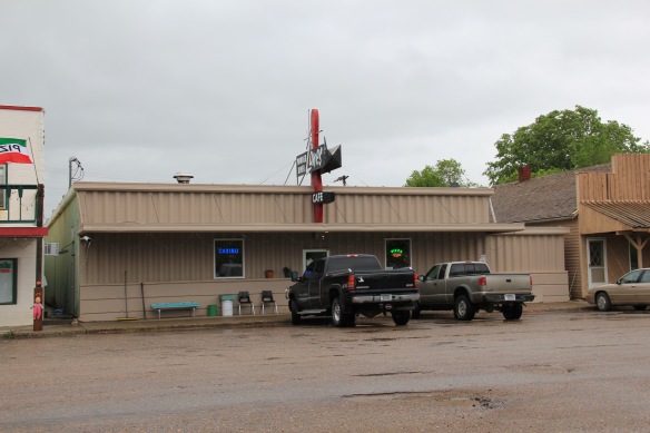 case where at Troy’s Trojan as well as–returning to the southeast corner–the Powder River Lanes in Broadus. This tiny county seat has lost several of its classic cafes from the 1980s–the Montana Bar and Cafe on the opposite side of the town square being my favorite in 1984–but Powder River Lanes makes up for it.
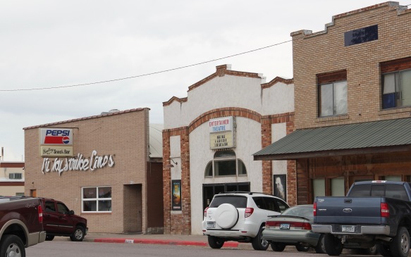 I am sorta partial to the small-town lanes, like the Lucky Strike above in Ronan, Lake County. Located next door to “Entertainer Theatre,” this corner of the town is clearly its center for pop culture experience.
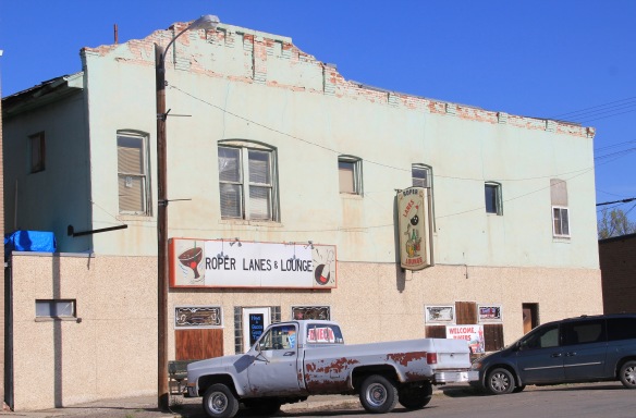 Another fav–admittedly in a beat-up turn of the 20th century building–is Roper Lanes and Lounge in Whitehall, Jefferson county, in the southwest corner of the state. Gotta love the painted sign over the entrance–emojis before they were called emojis.



 First came efforts to better interpret the Corps of Discovery and their travels through this section of the Missouri River 15-20 years ago. The theme was Lewis & Clark in the Missouri River Country, but by the 2010s the region’s demanding weather had taken its toll on the installation.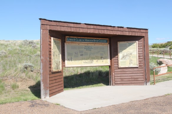


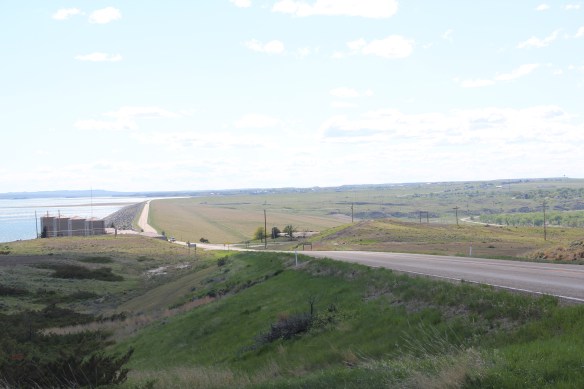
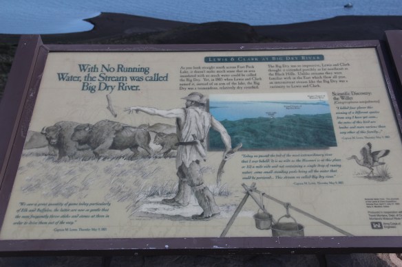 At the lake’s edge are additional markers encouraging visitors to imagine the time before the lake when the Big Dry River often meant exactly what it said–the reservoir keeps it full now.
 New interpretive markers combine with a well-defined pull-off to encourage travelers to stop and think about the loss of life that occurred in building the dam. Many of the massive infrastructure projects of the New Deal have similarly sad stories to tell–but few of them do.
 You can explore the landscape with the assistance of the highway markers to a far greater degree than in the past. Even if today it is difficult to “see” the transformation brought about by the massive earthen dam, there are informative markers to help you.




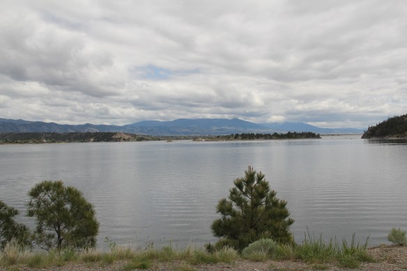

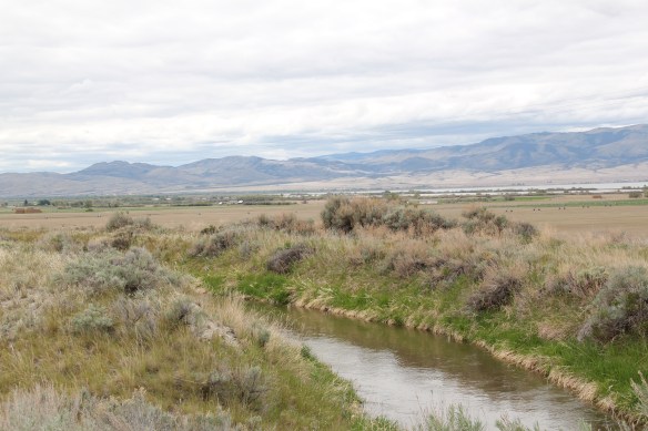
 St. Joseph Catholic Church, perched now on a barren bluff facing the lake, was moved about 2.5 miles east to its present location in 1954. Originally near the river in what was then known as the Canton Valley settlement, the church building is one of the state’s oldest, dating to 1874-1875 and is listed in the National Register of Historic Places. The proud Gothic styled church is the remnant of one of the valley’s earliest settlements.
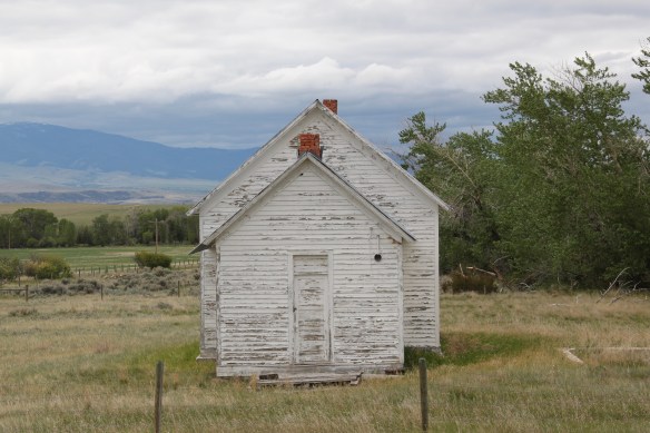


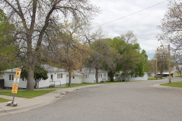










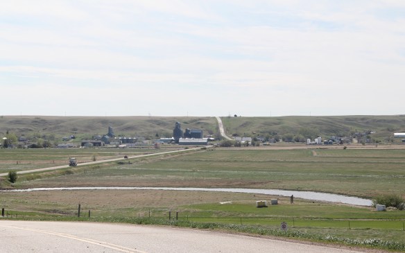
 The town’s grain elevators really are its landmark–the town is along the railroad spur and sits off Montana Highway 16–without the elevators you might not even notice it.
 Agriculture defines the use of the largest buildings of the town, and while it is a tiny place Reserve serves a much larger region of ranches located between Plentywood, the county seat, to the north and Medicine Lake, to the south.
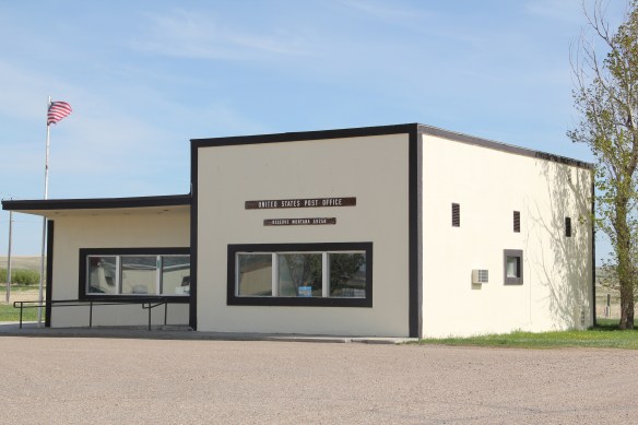 This larger audience for services in Reserve helps to explain the survival of the Reserve Post Office–so many tiny Montana towns have lost the one federal institution that had been there since the town’s beginning.
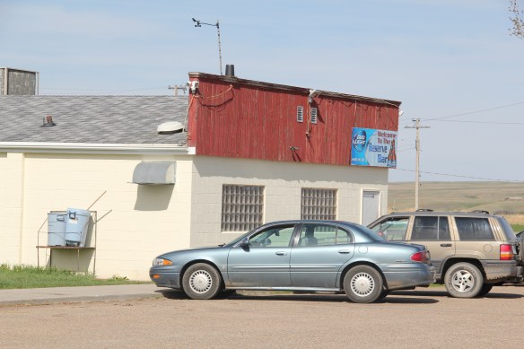 But naturally I will urge you to make a stop, however brief, at the Reserve Bar. This concrete block building, with its period glass block windows, is a friendly place, and a great way to talk with both residents and surrounding farmers.


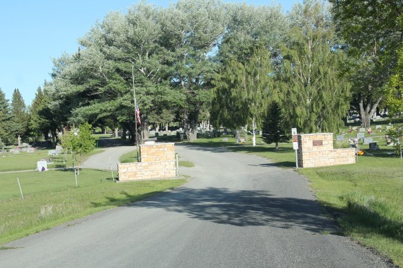 On the northwestern outskirts of Livingston is Mountain View Cemetery, another of the historic properties that certainly existed when I carried out the 1984-1985 fieldwork for the Montana state historic preservation plan, but since it was a cemetery, we as a field gave it, or any cemetery for that matter, little consideration thirty years ago.