As the historic promotional image above conveys, the Bitterroot Valley is an agricultural wonderland, but one dependent on irrigation and agricultural science. This image is on display at the Ravalli County Museum, which is located in the historic county courthouse from the turn of the 20th century.
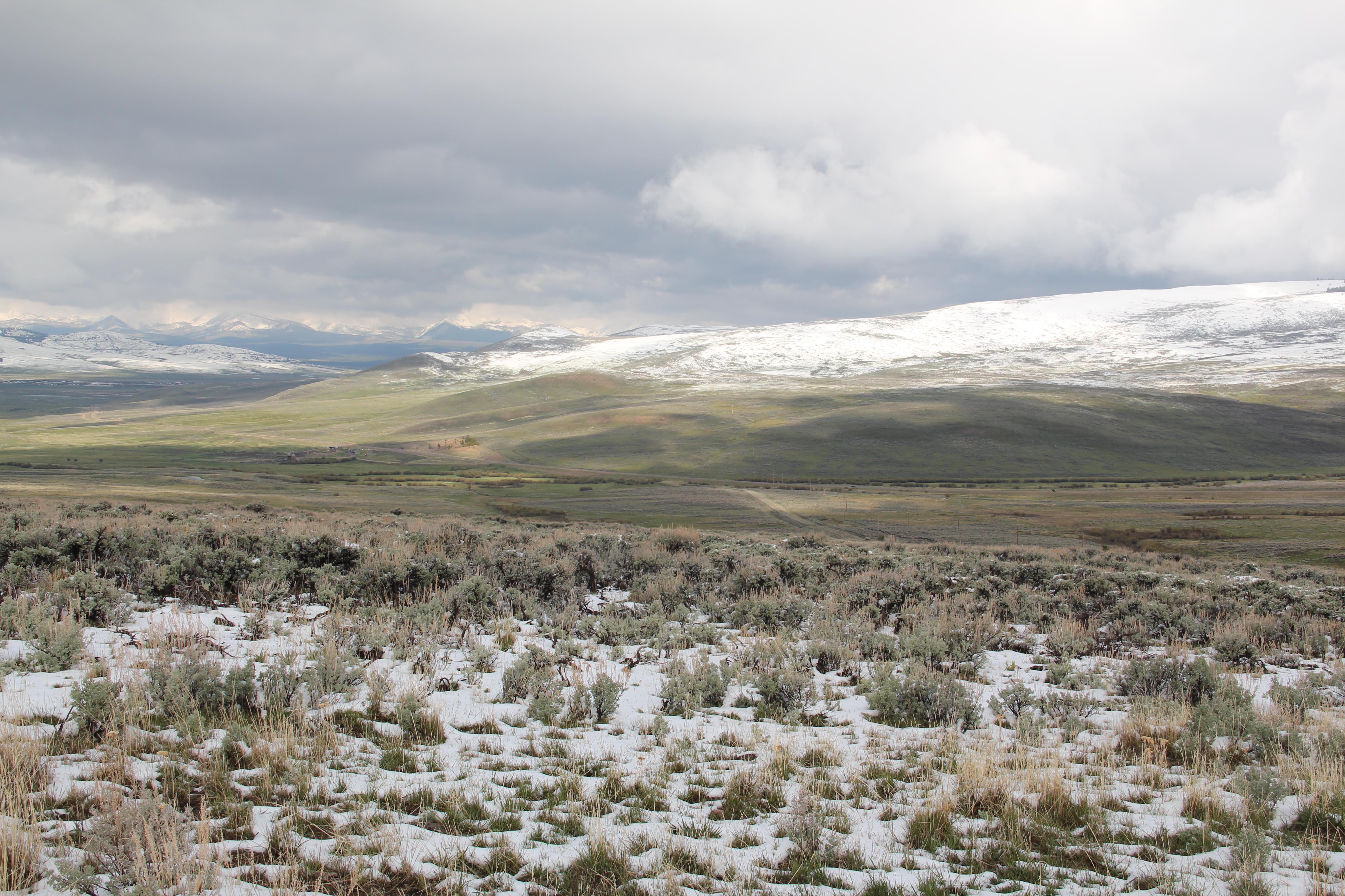
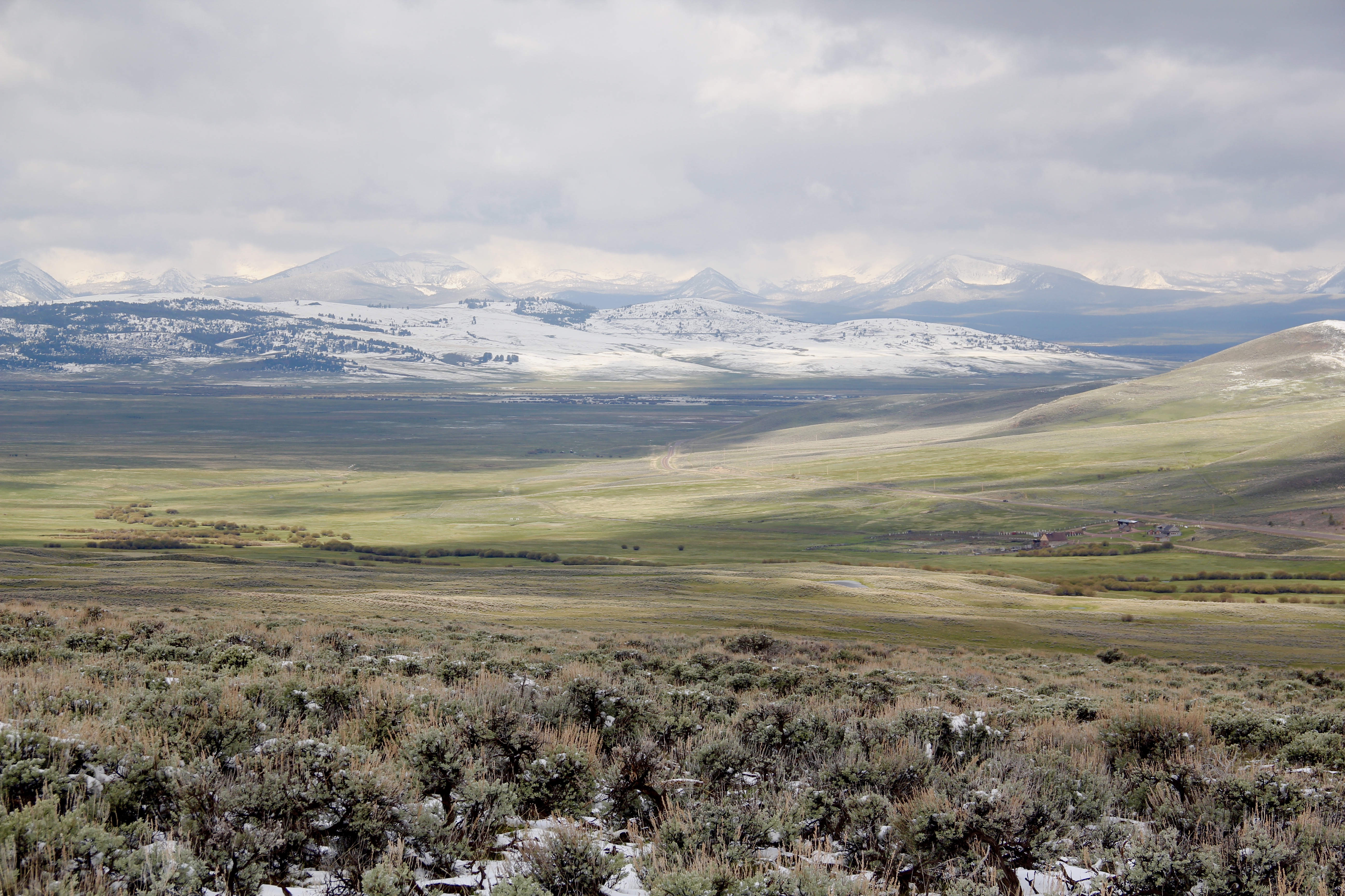
 Local ranchers and boosters understood the economic potential of the valley if the land was properly nurtured. Some of the best evidence today is along the Eastside Highway,
both north and south of Corvallis stretching onto Darby. Lake Como, located between Corvallis and Darby, supplied much of this water: it began as a private irrigation effort in 1909, and the dam has since been rebuilt to keep the water flowing, in addition to creating one of the favorite summer recreation spots in western Montana. In recent years, an interpretive marker by the U.S. Forest Service underscores the dam’s significance.
The water was just part of the story. There were key farmer organizations such as the Grange, which still has a lodge in Corvallis. This grange dates to 1884, which Elijah Chaffin led a local effort to join what was then a new national effort to help farmers and ranchers fight back against the railroads and other corporate interests.
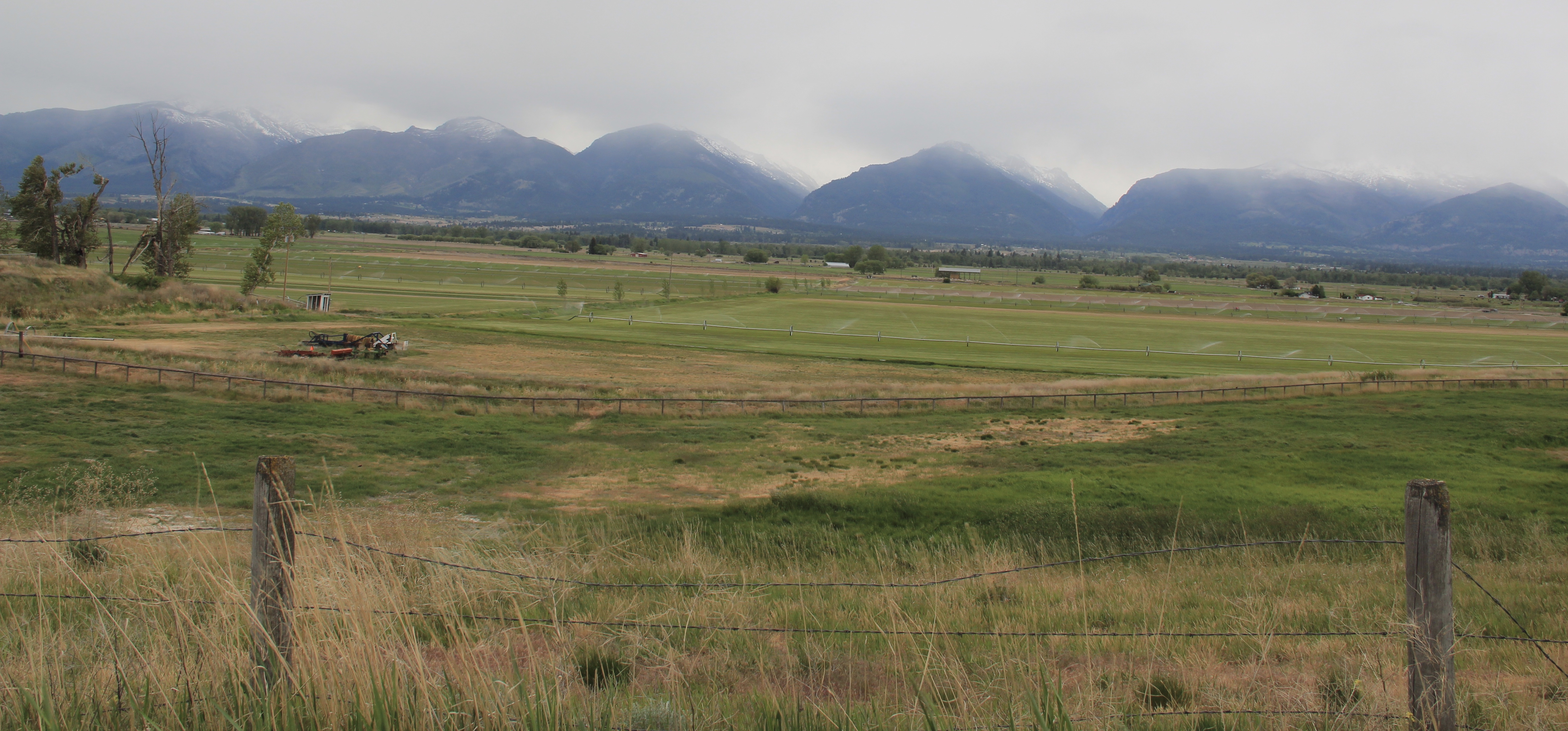
An important partnership between the Bitterroot Valley Irrigation Company and the State of Montana came in 1907 when the state, through its agricultural extension program at Montana State University, established what was first called the Horticultural Sub-station and later the Western Montana Experiment Station on 20 acres of land donated by the irrigation company outside of Corvallis. Now known as the Western Agricultural Research Center (see below), the station allowed agricultural
scientists to “determine, by testing, the most profitable varieties of apples, pears, cherries, plums, walnuts, peaches, apricots, strawberries, bushfruits, and vegetables.” Initial success came with apples but after that waned, “the center’s emphasis shifted to the development of small fruits and the sweet cherry industry in the Flathead [Lake] area.”
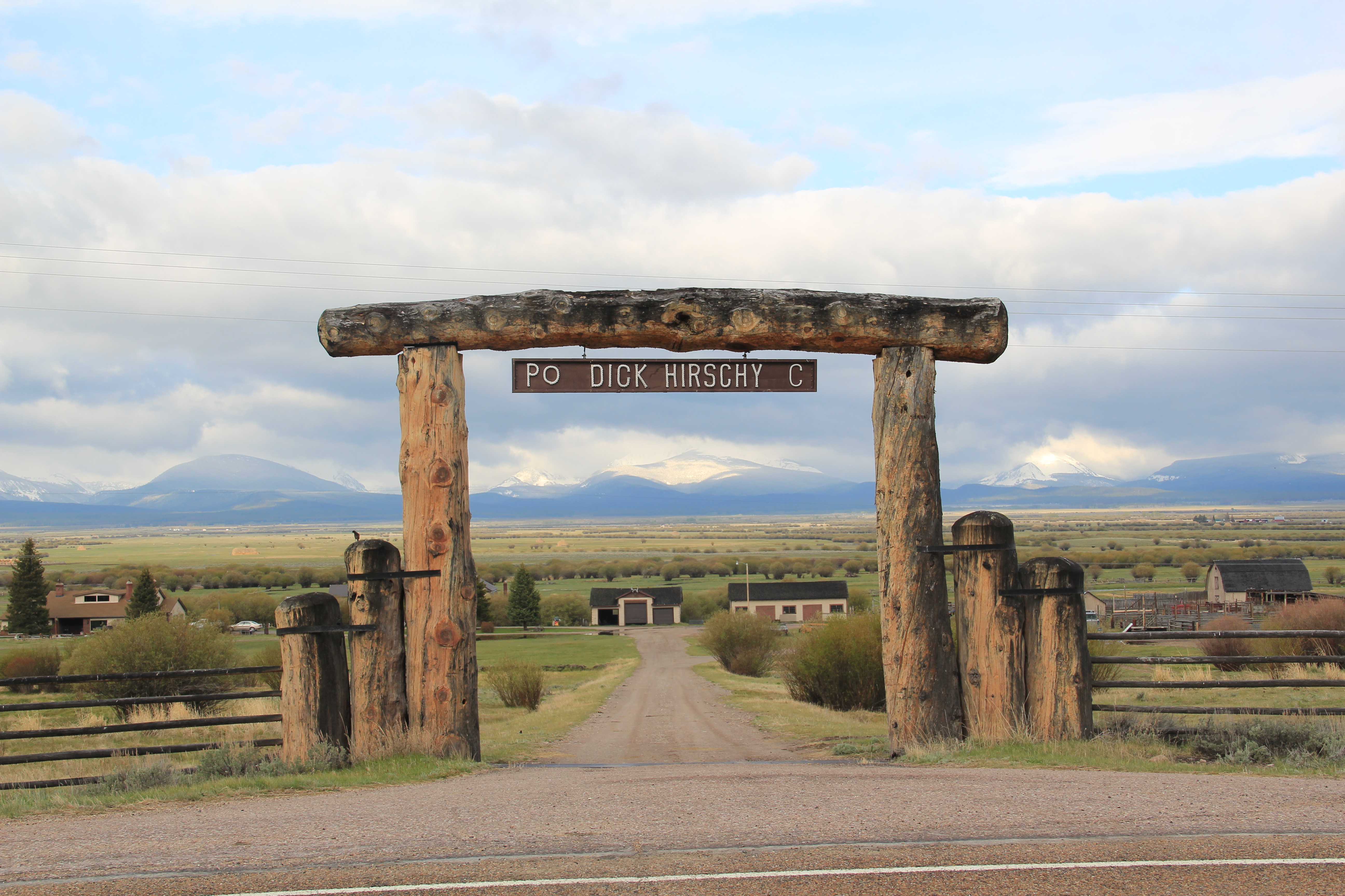
The nearby Swanson’s Orchards are just part of the industry spawned by the combination of land, water, and science. Charles J. Swanson began the ranch in 1909, turning to an apple crop by 1910. Although the apple industry in the Bitterroot is greatly diminished since the boom of the 1910s, Swanson’s still operates as a family-run orchard. Throughout the valley are ranches that trace their roots to the 1880s to early 1900s and the first


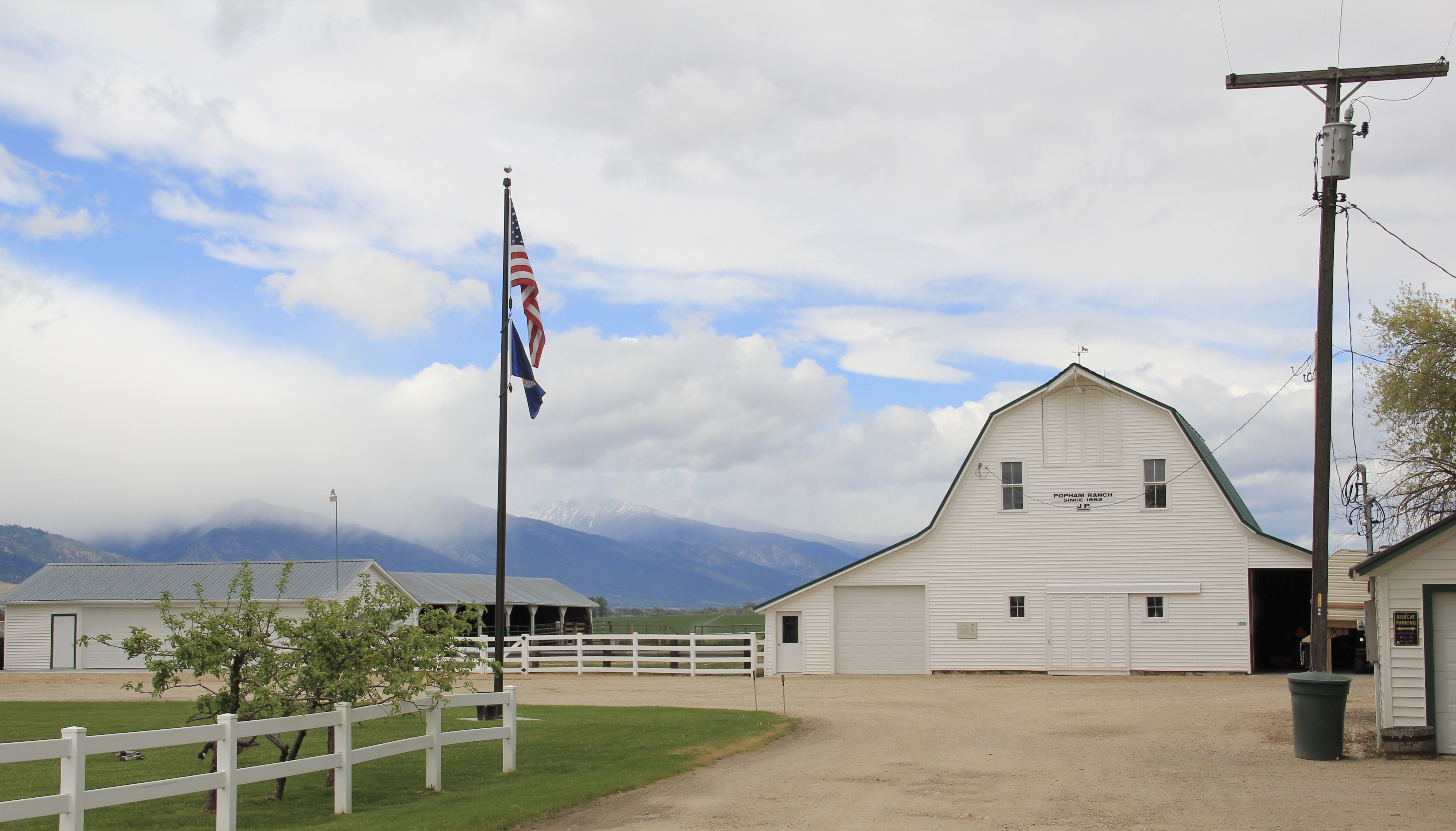
 railroad spur through the valley. With its Four-Square style dwelling, the Bailey Ranch, immediately above, is a good example of the places of the 1910s-1920s. The Popham Ranch, seen below, is one of the oldest, dating to 1882.

 One major change in the Bitterroot over 30 years is the fruit industry has diminished and how many more small ranches and suburban-like developments crowd the once expansive agricultural wonderlands of the Bitterroot. The dwindling number that remain deserve careful attention for their future conservation before the working landscape disappears.


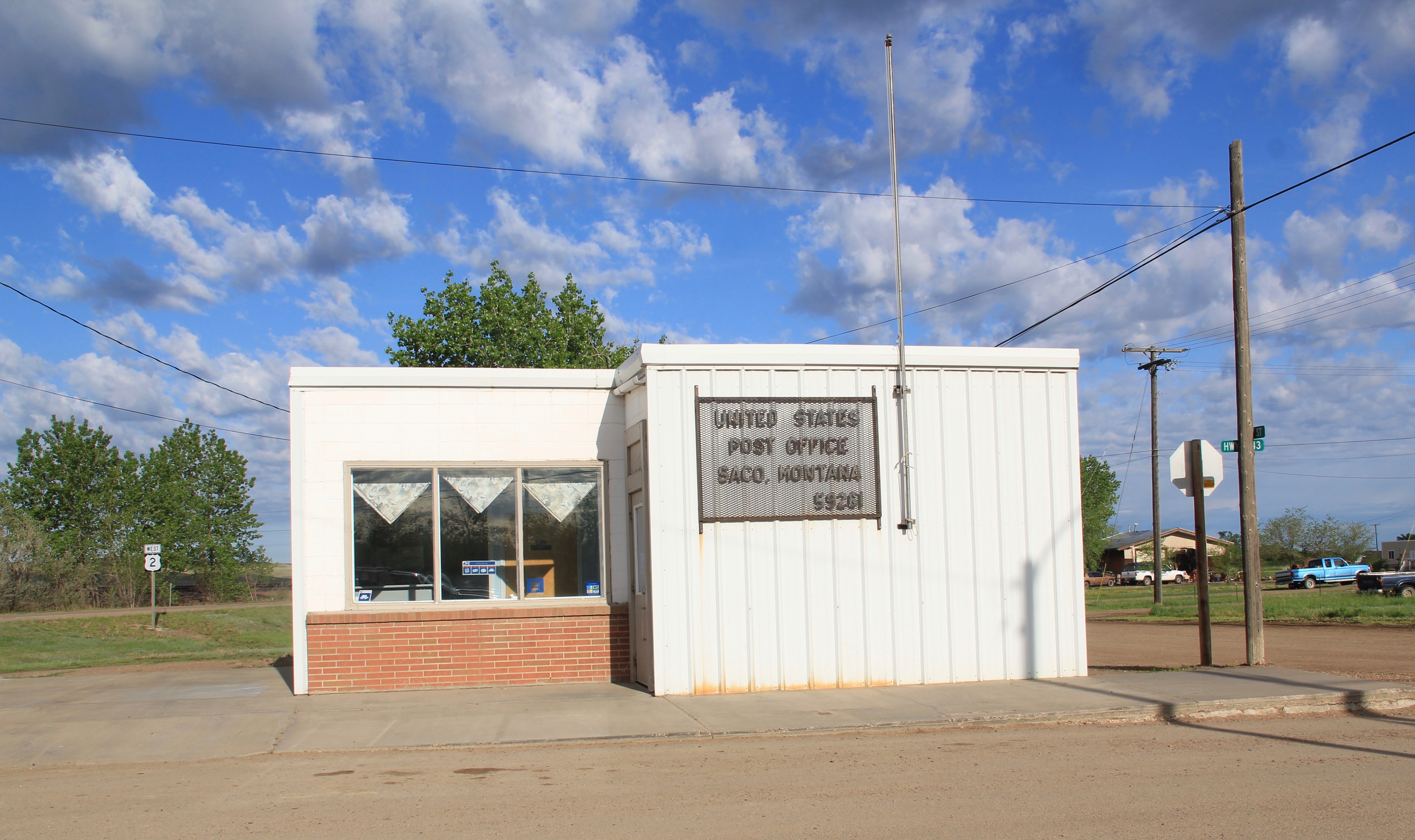 buildings, the rather different design of the post office from the 1960s and the vernacular Gothic beauty of the historic Methodist Church, especially the Victorian brackets of its bell tower.


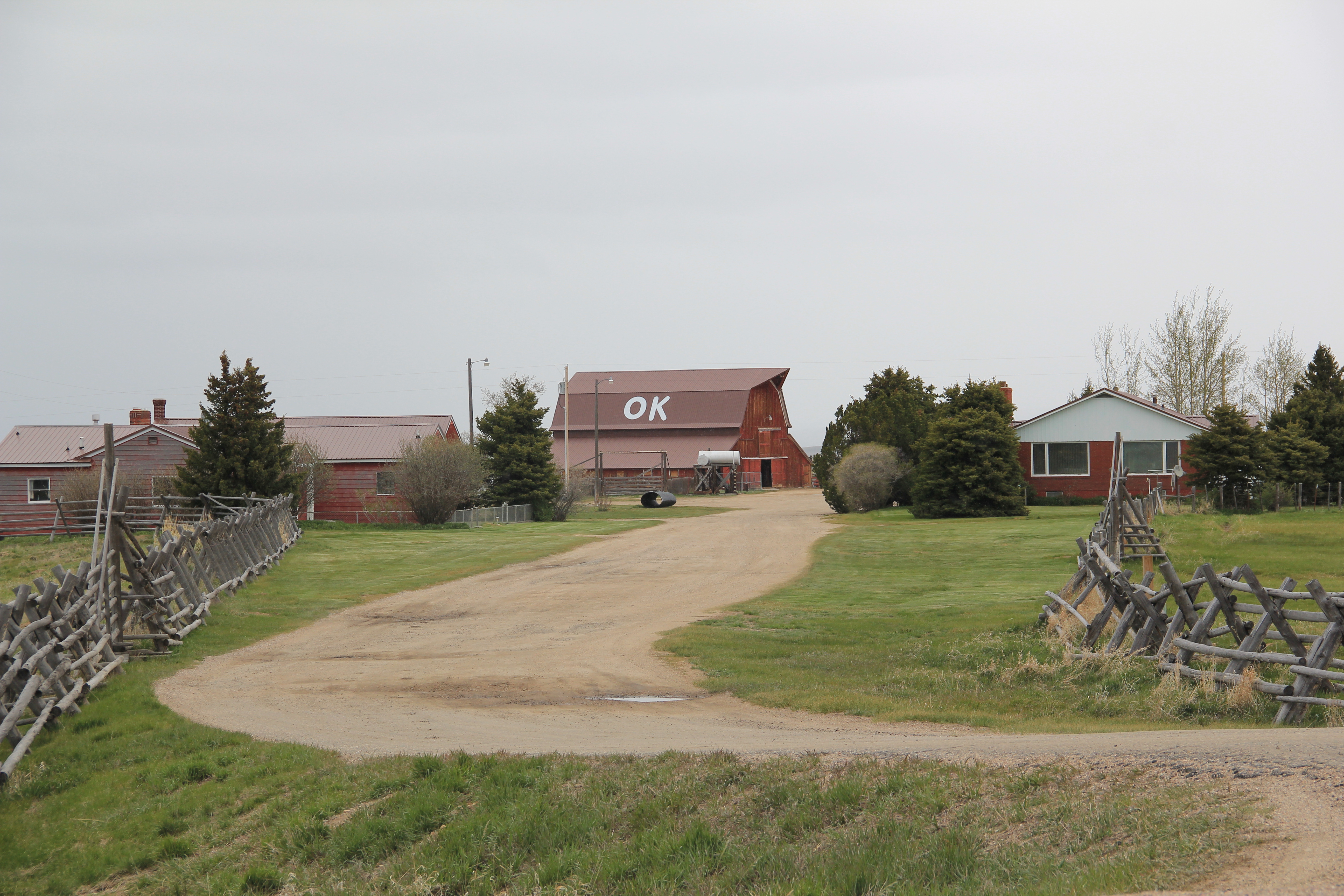

 The Big Hole Valley was a place of interest to me in 1984, noted by the image above, for how ranches used logs to build the physical infrastructure–the log snake fences, the gates, the log barns and other ranch structures–of their properties.
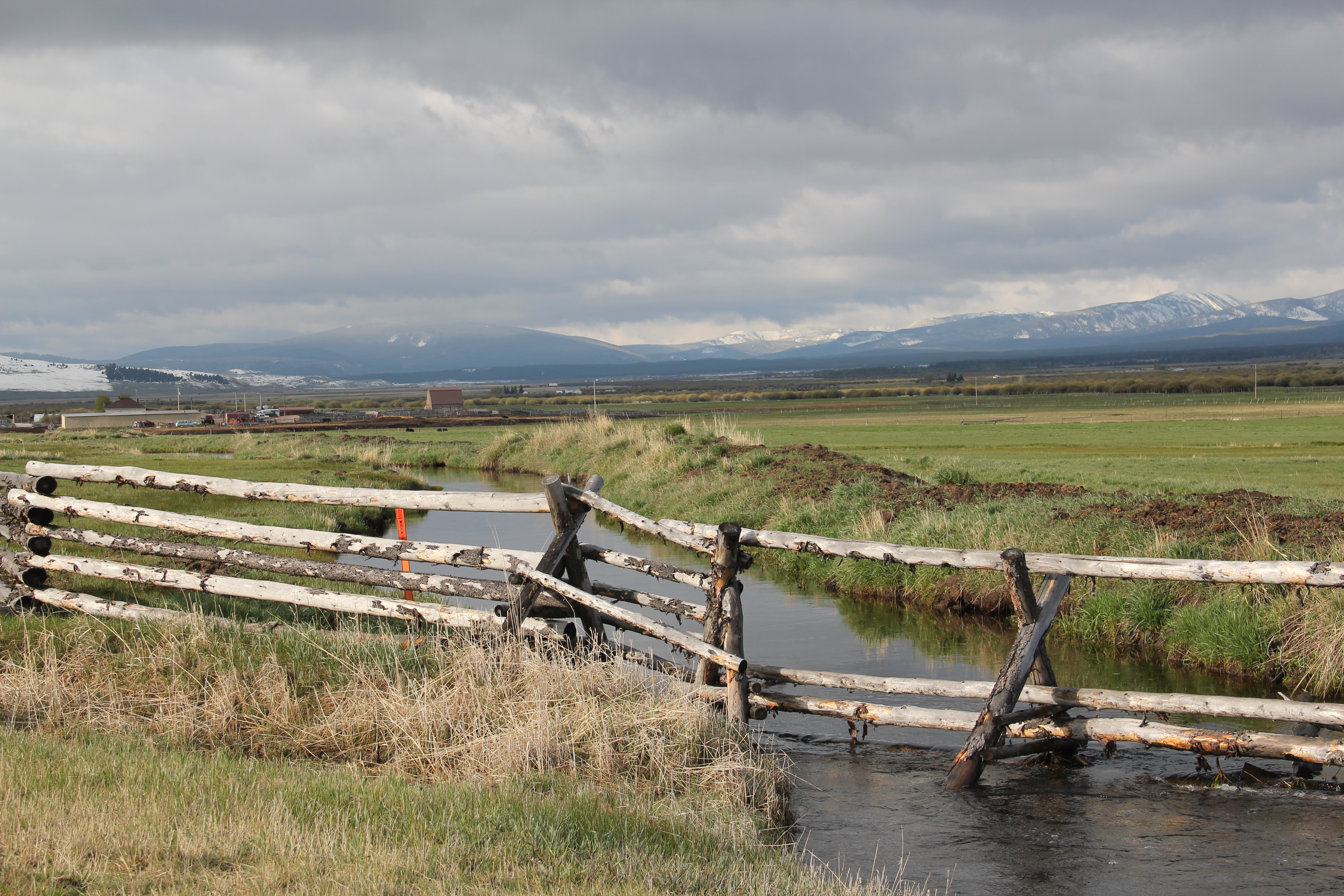
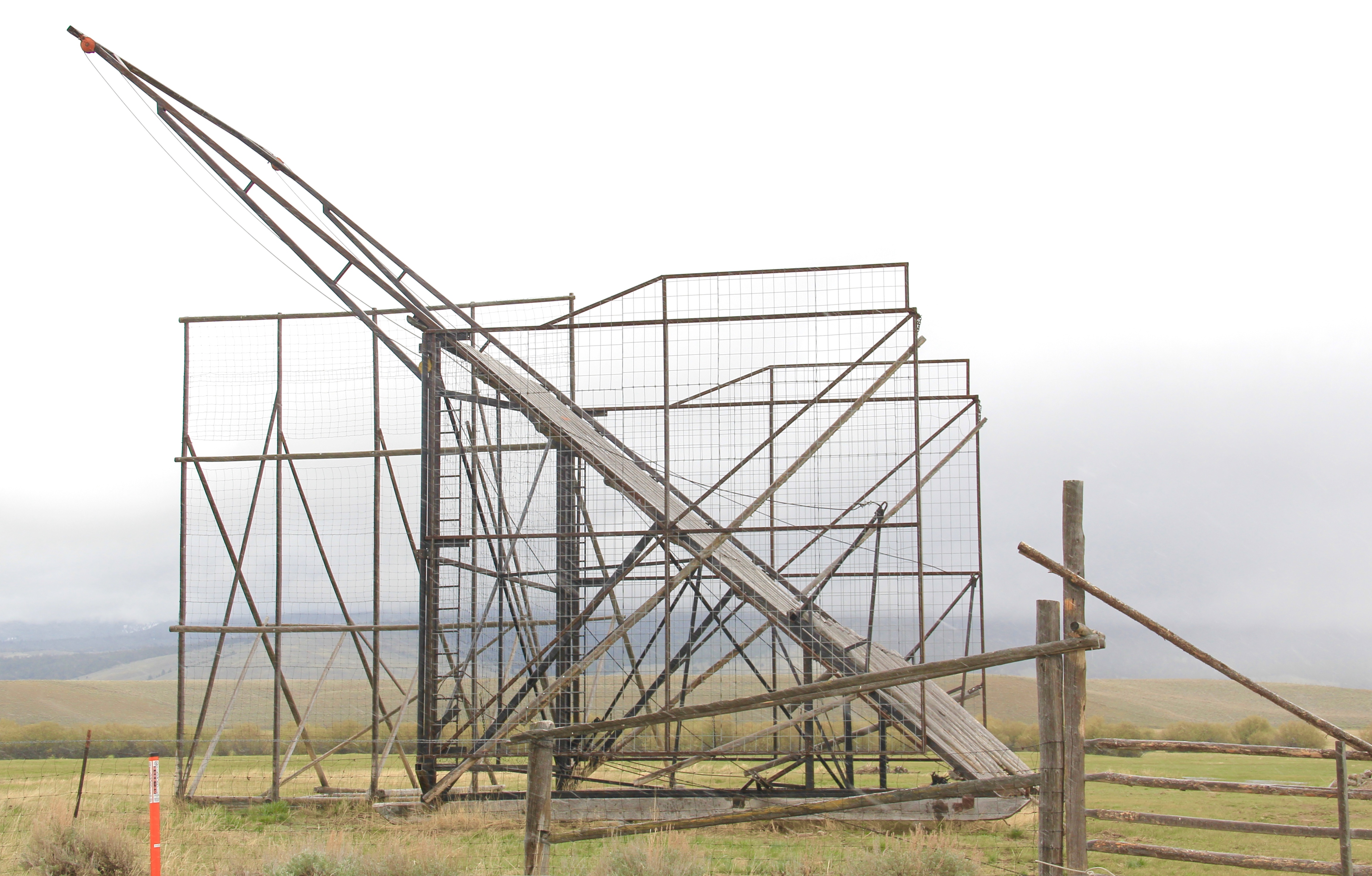
 What I didn’t give as much attention to, already commented on in this blog at numerous places, are the irrigation ditches, a more consistent supply of water that allowed ranchers to expand production.