
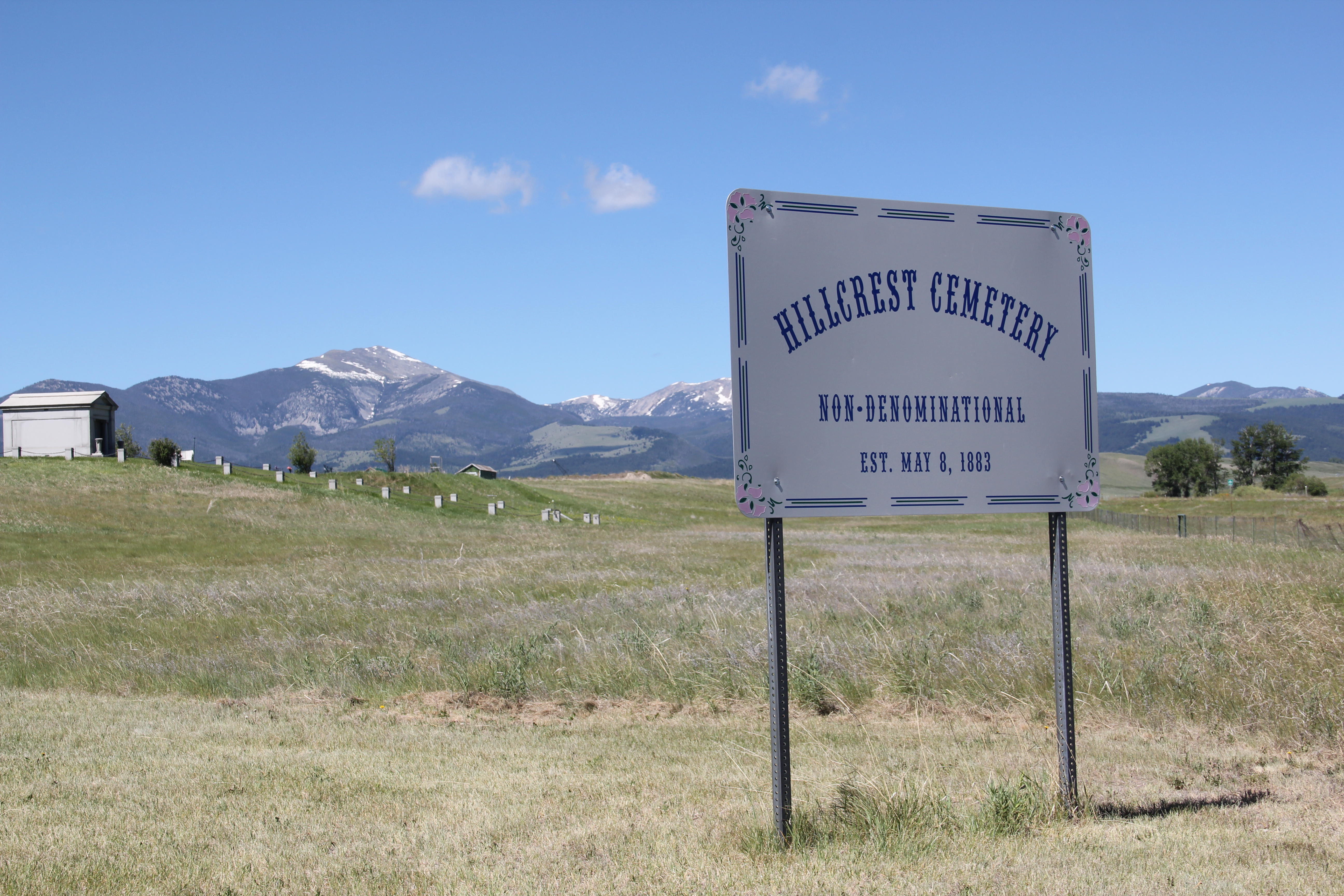
Hillcrest Cemetery, established in 1883, is not only one of Deer Lodge’s oldest community institutions, it is also one of its most compelling and beautiful nestled as it is west of the town within the Deer Lodge Valley. Burials here date to at least 1872 (the earliest legible death date I found on a marker). The general layout of the cemetery comes from a map provided by the City of Deer Lodge on its website.


The diversity of its grave markers adds to the beauty and rich stories found at Hillcrest. The classical mausoleum for the John Morony family commands the northern end of the cemetery, with its low square posts linked by chain defining a spot that is within the cemetery but also outside of it. John Morony was a Montana native who gained great wealth as the managing director of the Amalgamated Copper Company in addition to several banks from Great Falls to Anaconda, Missoula, and Dillon and as a major investor with the Montana Power Company.

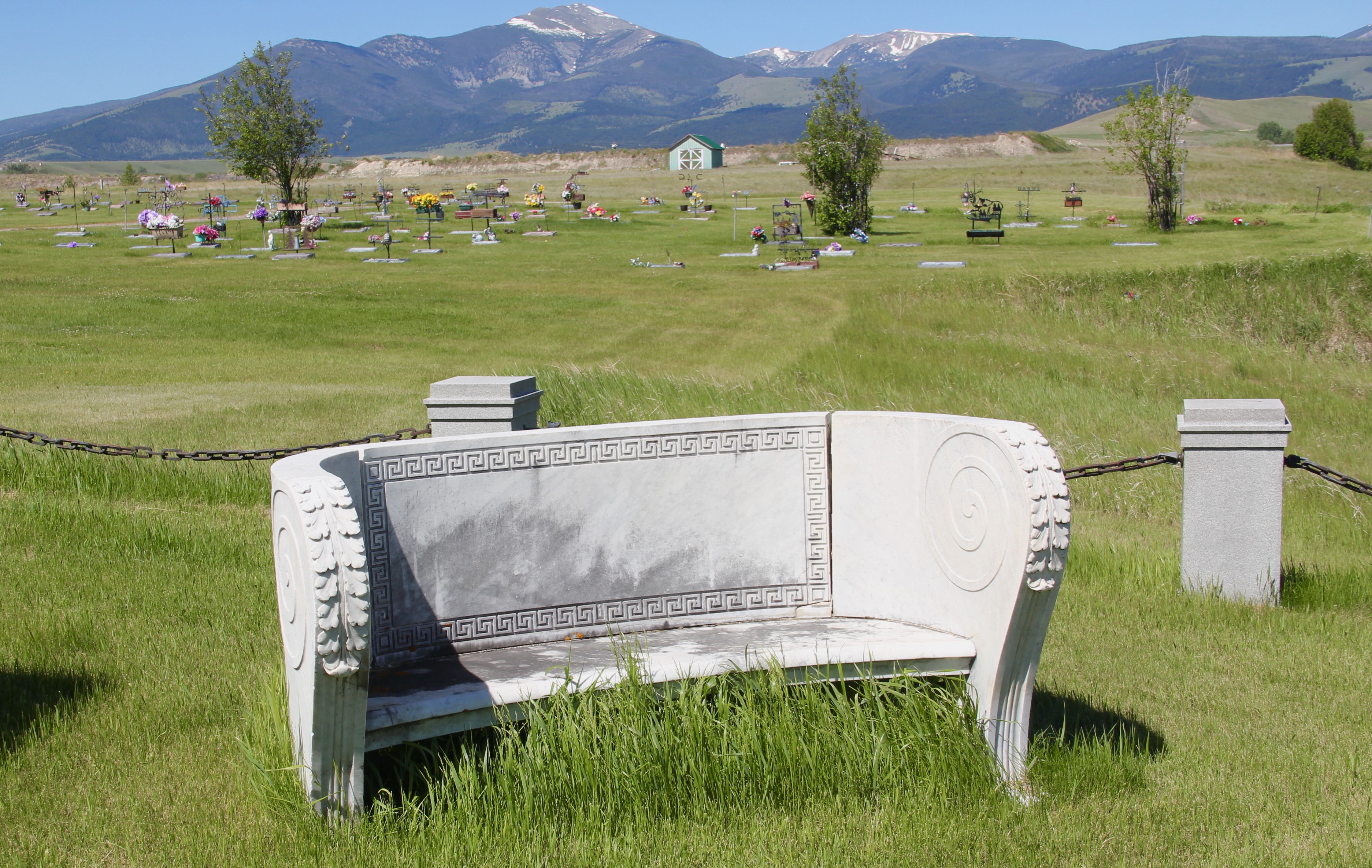
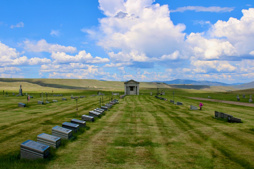
South of the Marony mausoleum is most of the cemetery’s burials, with the well maintained grounds marked by large trees, various ornamental plantings and drives that crisscross the cemetery allowing you easy access to its different sections.

The ethnic diversity of those buried here is striking, reminding us that Deer Lodge was more than the location of the state prison (a very important fact) but also a place that the railroads shaped, with the Utah Northern, then the Northern Pacific, and finally the Milwaukee Road laying tracks through the valley. The latter had the most impact as the Milwaukee made Deer Lodge a division point with roundhouses and other buildings, which stood in the 1980s but are now largely gone.
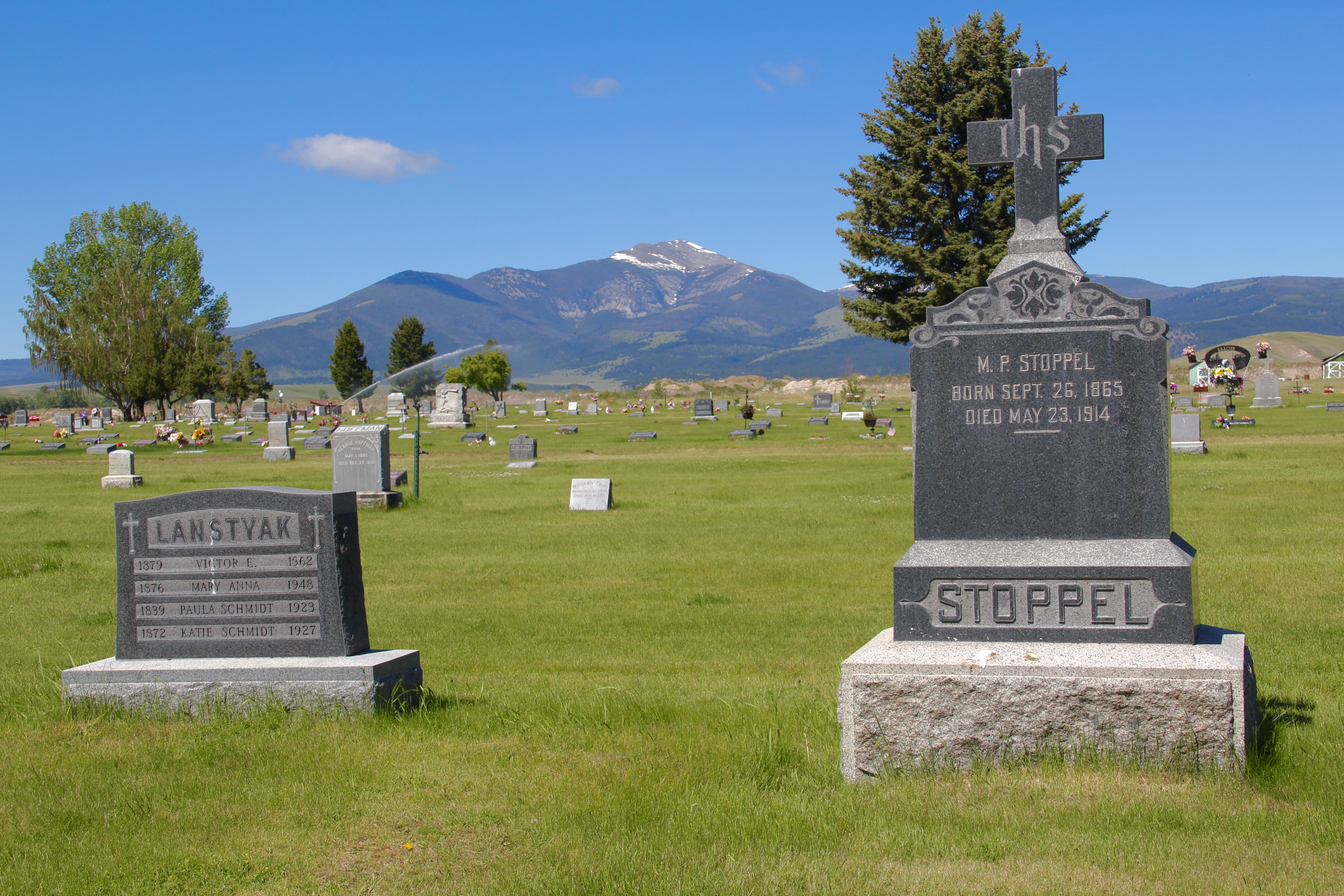
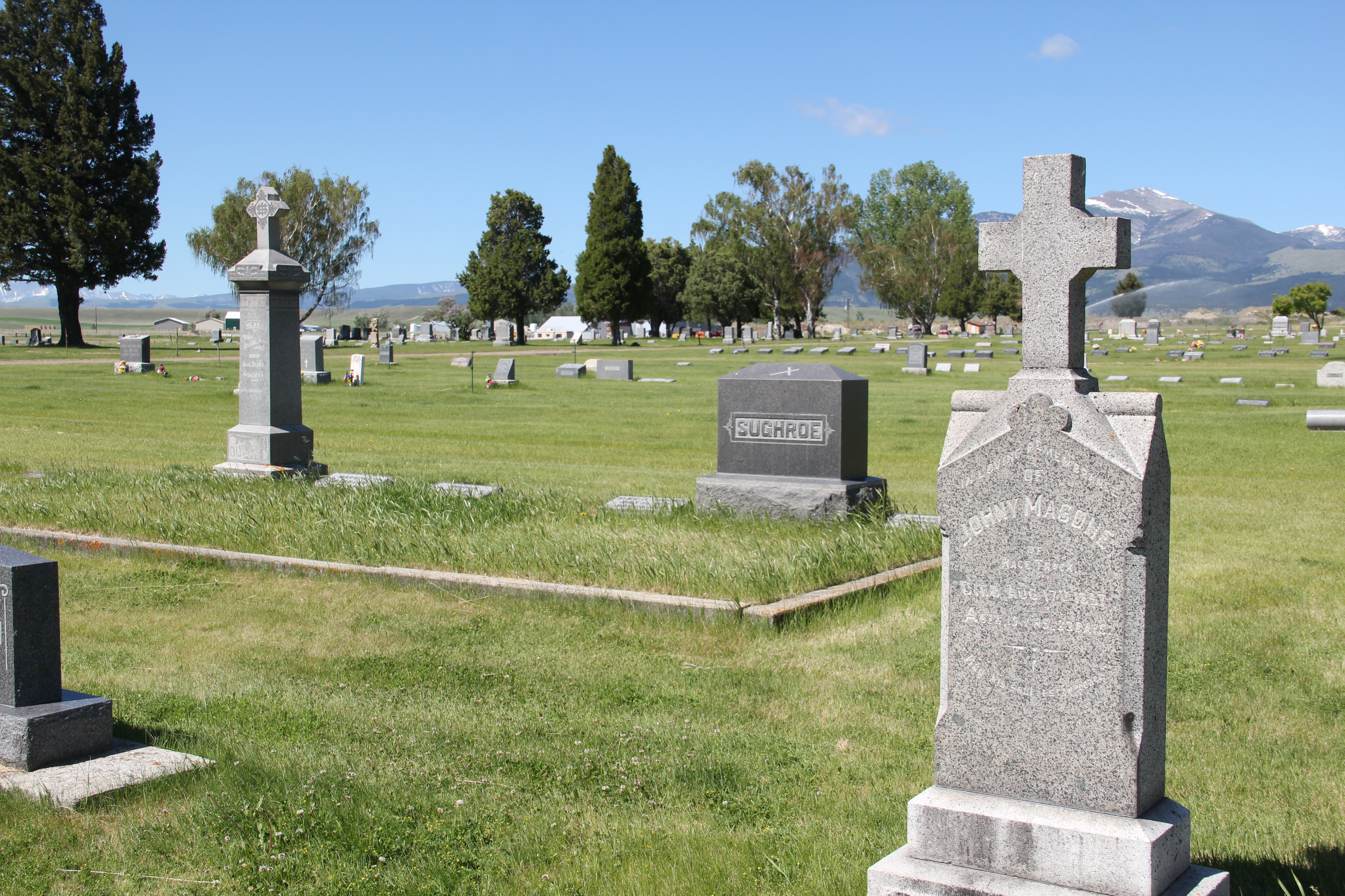

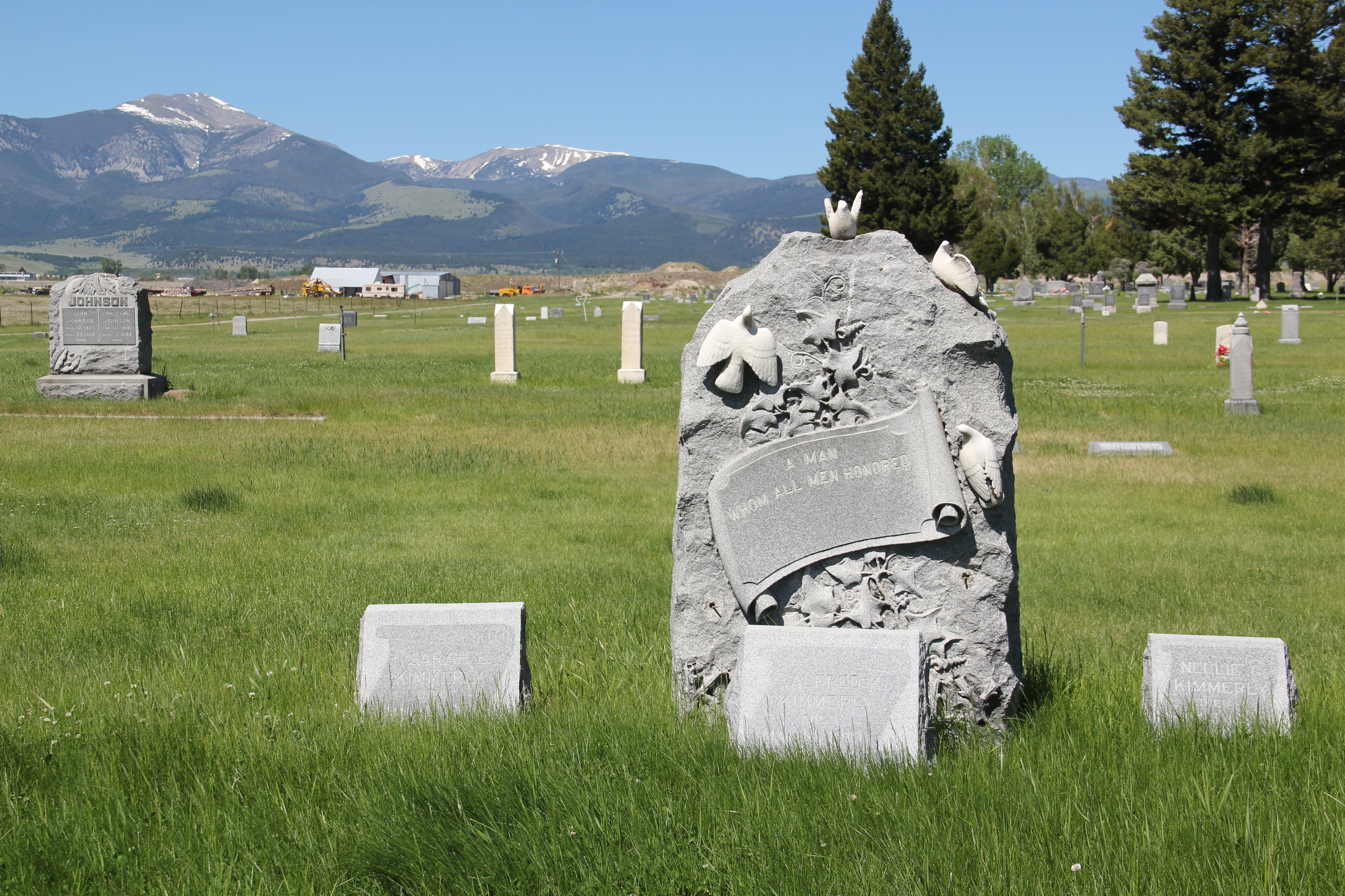
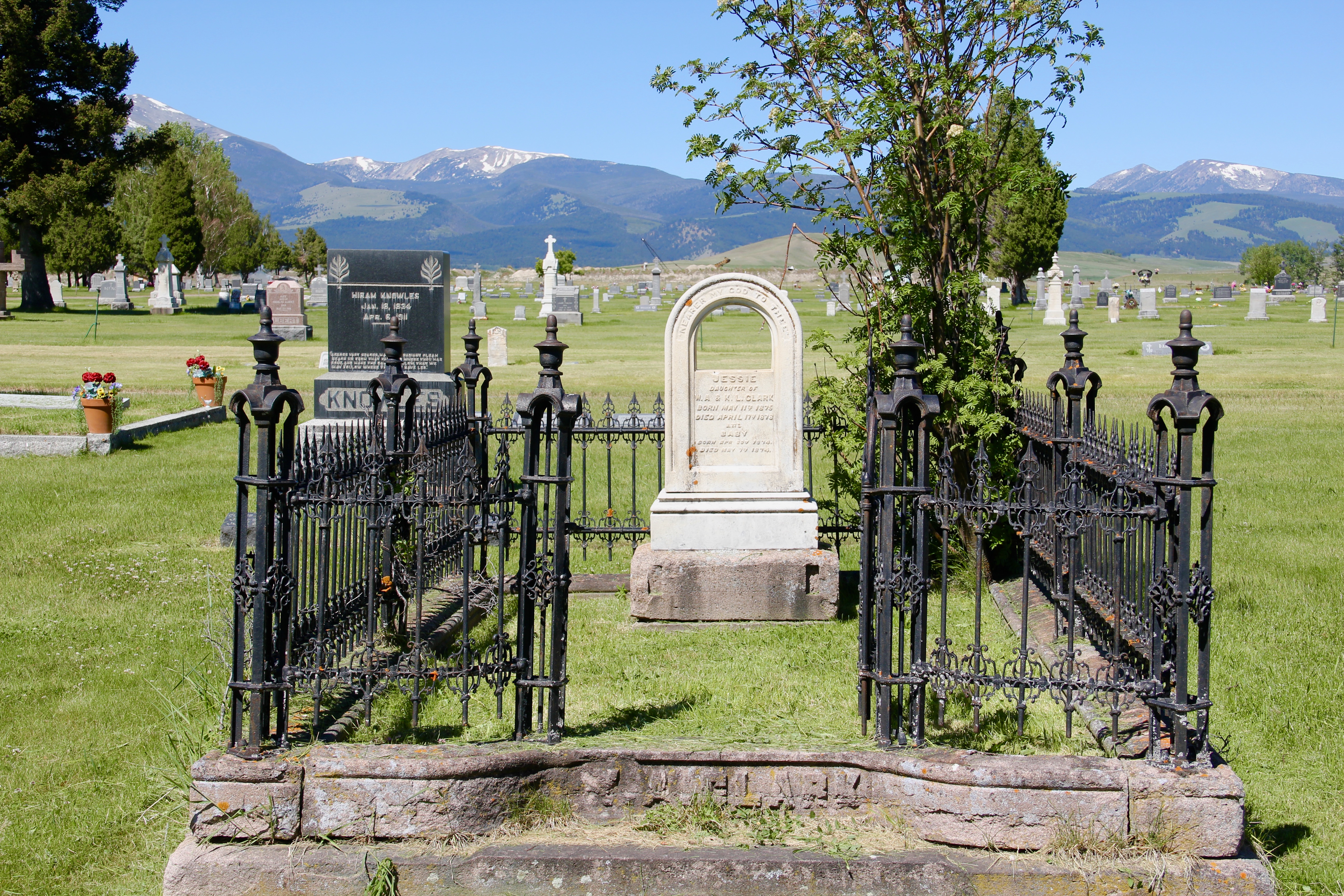
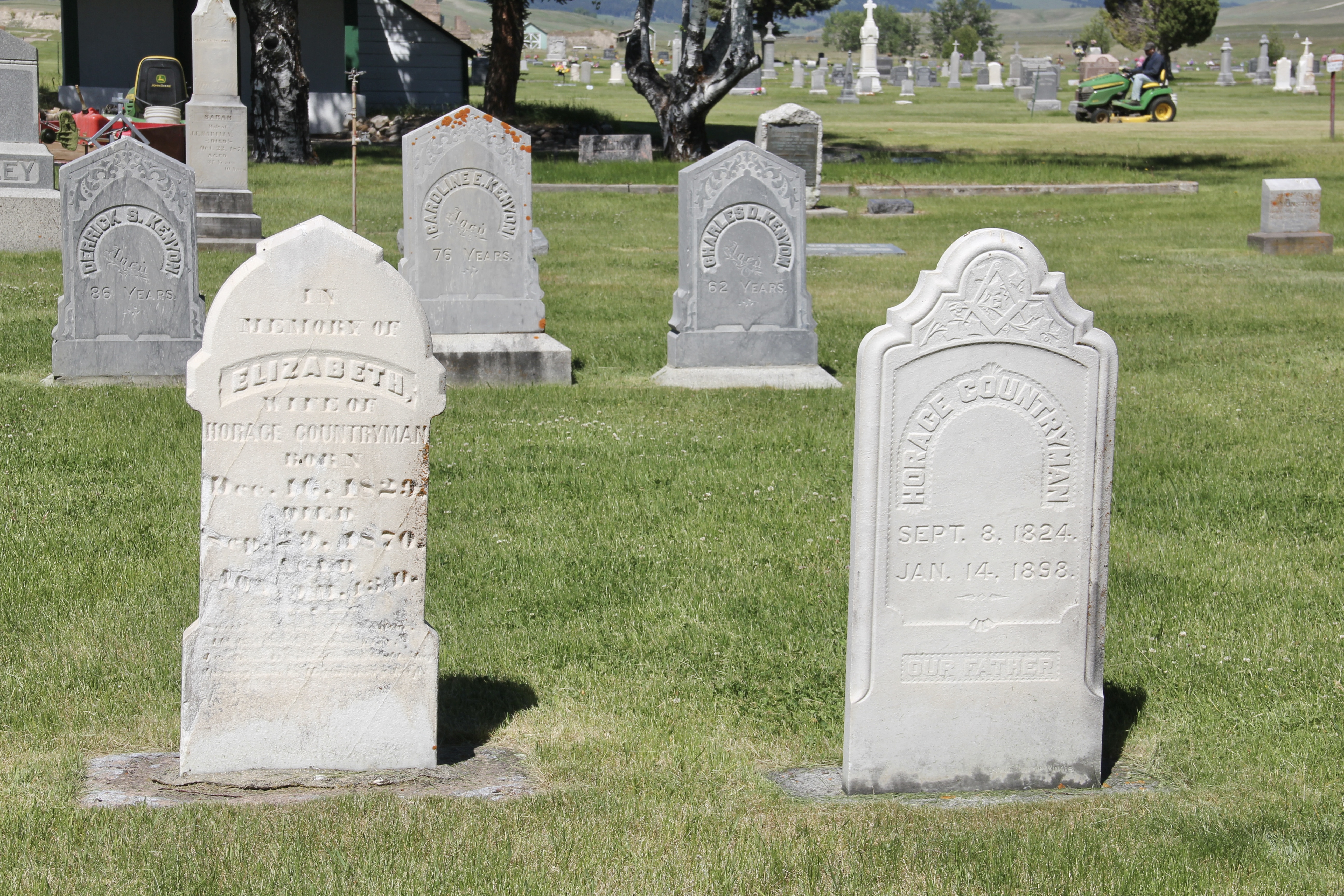
There are many markers of artistic value, from formal, carved stones rich in symbolism and architectural detail to those of a more vernacular design origins, which can even be difficult to translate today.

Hillcrest Cemetery also has grave markers that reflect patterns found in other Montana community cemeteries in those that mark fraternal lodge memberships and service in the U.S. armed forces.


The cemetery also has early pioneers buried here, including Conrad Kohrs, whose historic ranch, the Grant-Kohrs Ranch, is a National Historic Site, administered by the National Park Service not far from the cemetery.


The grave markers above are just a few of the many at Hillcrest Cemetery worthy of acknowledgement and fuller study. This historic place is one of the most interesting community cemeteries I have encountered in Montana.
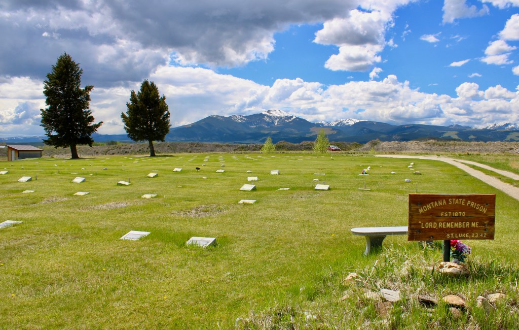
At the East rear of the cemetery is one of the oldest sections, reserved for inmates who died at the Montana territorial and then state prison. Separate from the the other sections, the prison cemetery is a somber experience.


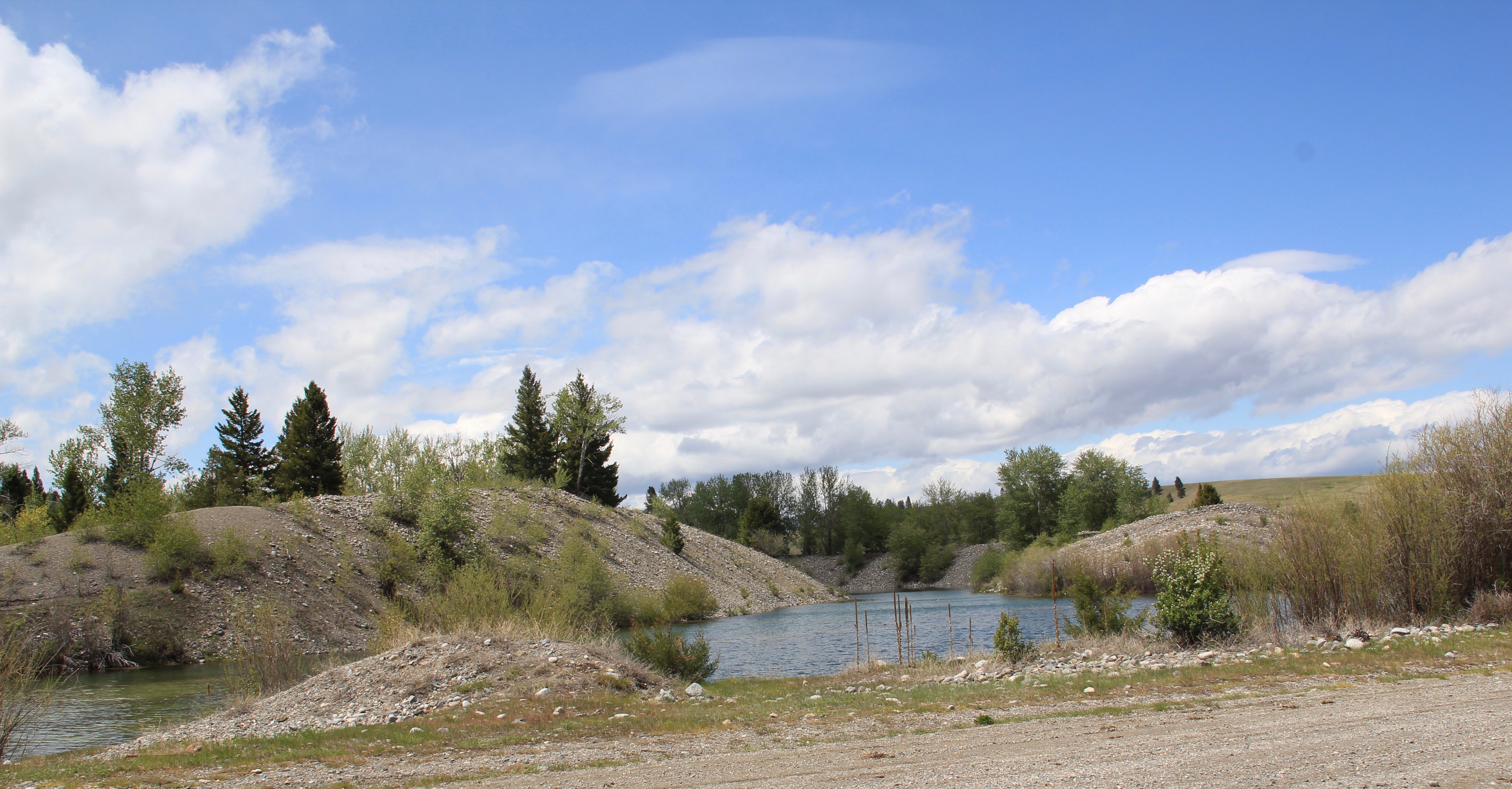 Ranchers had taken bits of older buildings from Pioneer and incorporated them into later structures between the mining district and Gold Creek. Pioneer as a ghost town barely existed then and little marks its past except for the scars of mining.
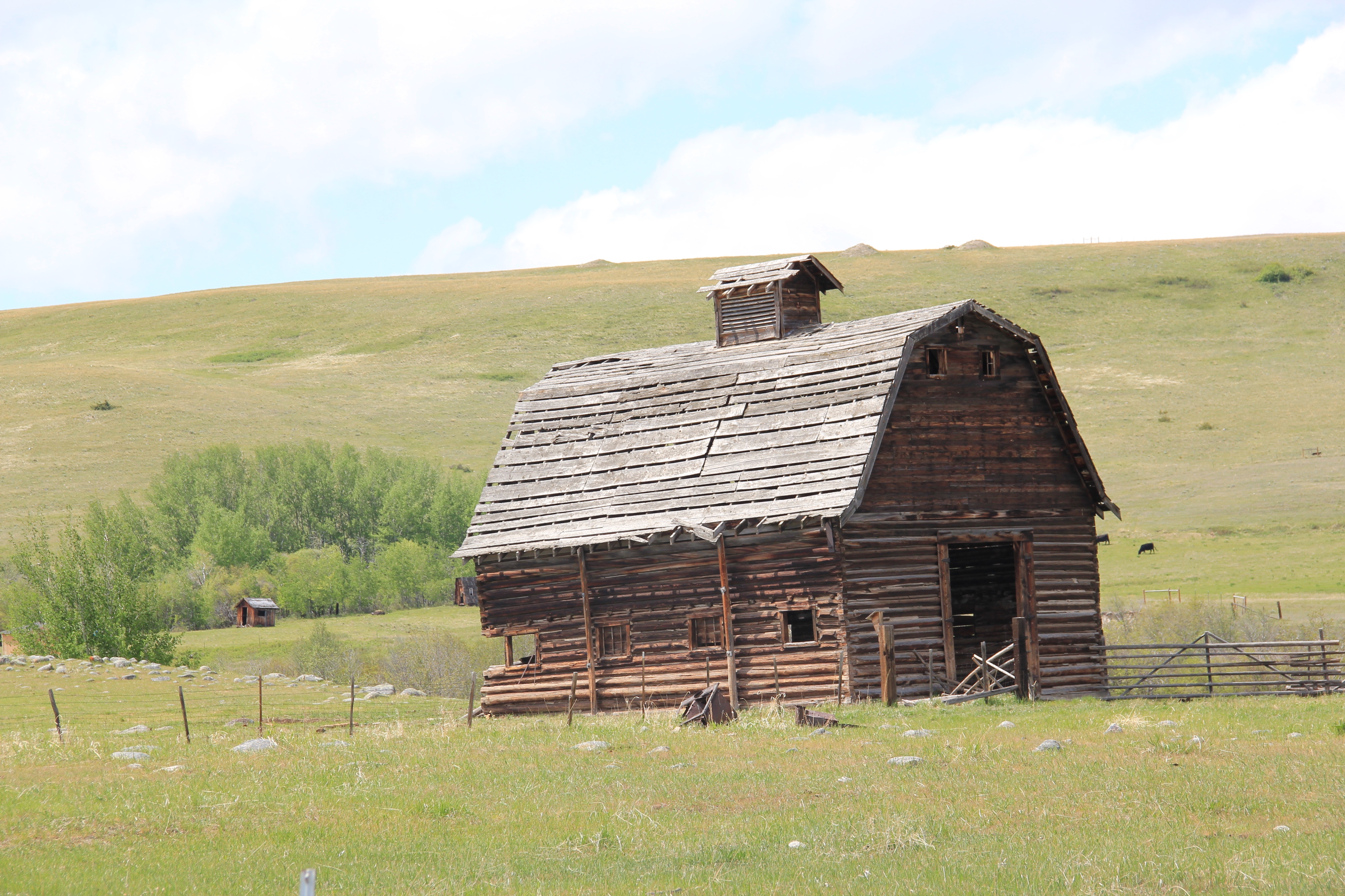
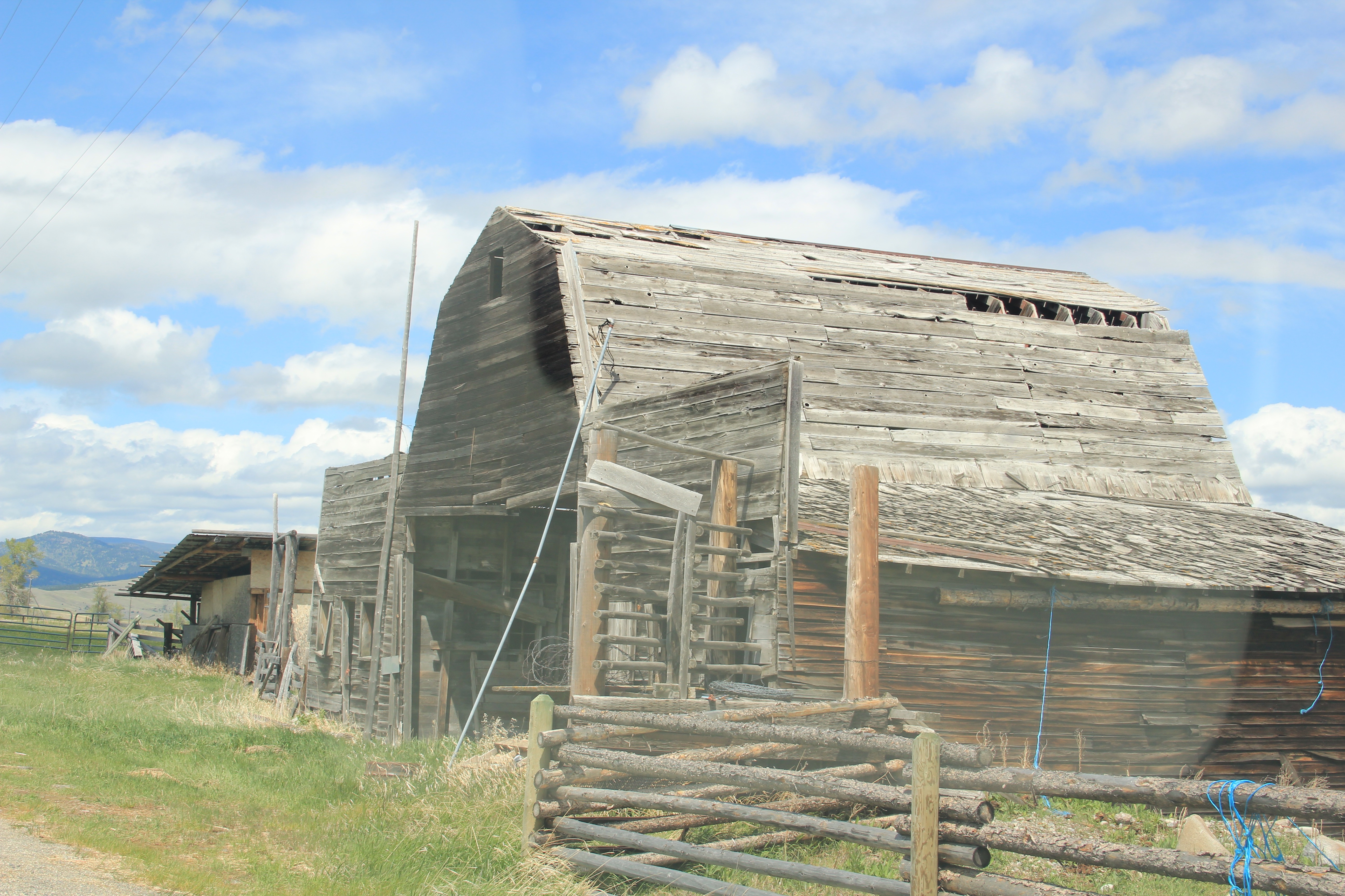


 But the most important community institution (yes, the Dinner Bell Restaurant out on the interstate exit is important but it is a new business) is the Gold Creek School, a rather remarkable building in that residents took two standard homestead era one-room schools and connected them by way of a low roof “hyphen” between the front doors.
 Adaptation and survival–the story of many buildings at Gold Creek and Pioneer. Historical markers are scarce there but the history in the landscape can still be read and explored.