

When I began my fieldwork for the state historic preservation plan in 1984, there was one spot I was particularly eager to visit: Gold Creek and Pioneer on the west side of Powell County. Granville Stuart and Conrad Kohrs both loomed large in the history of Montana; they were associated, respectively, with the two mines. Stuart was been among the party who first struck gold there in 1858; Kohrs later owned the Pioneer mines. Plus the two mining areas were counted among the state’s earliest. Then one winter in 1982 traveling along Interstate Highway I-90 I had looked to the west and saw the faded wooden signs marking what they called the first gold strike in Montana–one of 1858 even before the Mullan Road had been blazed through the area. Not far away was
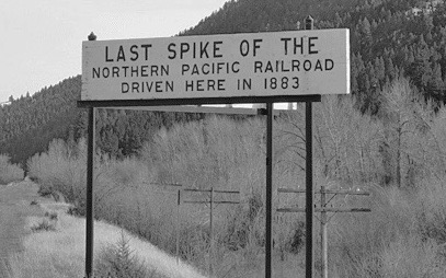
another nondescript sign–this one about the last spike of the Northern Pacific Railroad–it too was visible from the interstate. I had to know more.

Gold Creek store and post office, 1984.
What I found was not much, at least anything much that could become part of public interpretation. The folks at the general store and post office, where exterior signs proudly noted that it began in 1866, told me that the granite marker for the Gold Creek strike was on private property–well maintained but something no one was interested in doing more with. The last spike for the Northern Pacific Railroad was a similar story. Once that spot was all in the national news. Now it was a place on the railroad right-of-way and Burlington Northern wasn’t interested in visitors being on such a heavily traveled section.
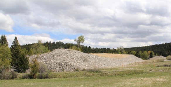
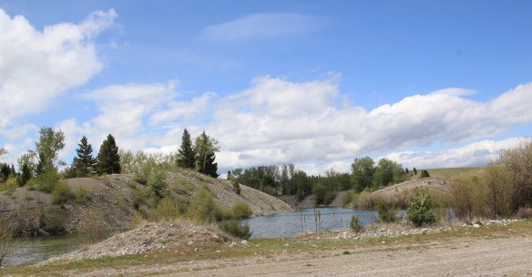
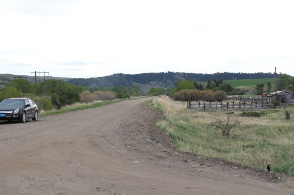
The road west of Gold Creek led into the later placer mining of the Pioneer Mining District (established 1866)–with the high mounds of tailings coming from much later efforts to dredge every bit of precious metal from the property.
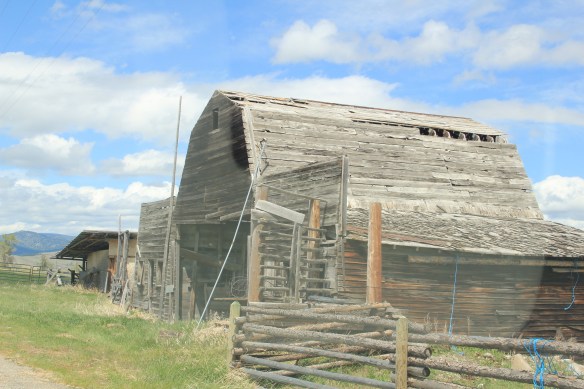
 Ranchers had taken bits of older buildings from Pioneer and incorporated them into later structures between the mining district and Gold Creek. Pioneer as a ghost town barely existed then and little marks its past except for the scars of mining.


Gold Creek has existed since the dawn of Montana Territory but it has rarely caught a break–its monument about mining is landlocked on private property. The interpretive markers about the Northern Pacific’s last spike are on the interstate at the Gold Creek Rest Area. Much of what is there today dates to its last “boom” when the Milwaukee Road built through here c. 1908, but as regular readers of this blog know, the success of the Milwaukee and short lived and by 1980 it was bankrupt. Today little is left except the roadbed, as is the case, almost, in Gold Creek.
I say almost because the Milwaukee Road located one of its electric transmission buildings in the middle of Gold Creek, along the electrified line. Abandoned when I surveyed the town in 1984, the building has been restored and put back into business.

Milwaukee Road Electric Station facing the Northern Pacific line.
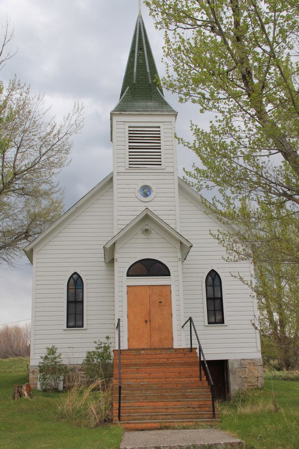
Two community institutions still shape Gold Creek. On the “far” end of town is the St. Mary’s Mission Catholic Church, built c. 1910, with its original Gothic design still intact.
 But the most important community institution (yes, the Dinner Bell Restaurant out on the interstate exit is important but it is a new business) is the Gold Creek School, a rather remarkable building in that residents took two standard homestead era one-room schools and connected them by way of a low roof “hyphen” between the front doors.
 Adaptation and survival–the story of many buildings at Gold Creek and Pioneer. Historical markers are scarce there but the history in the landscape can still be read and explored.


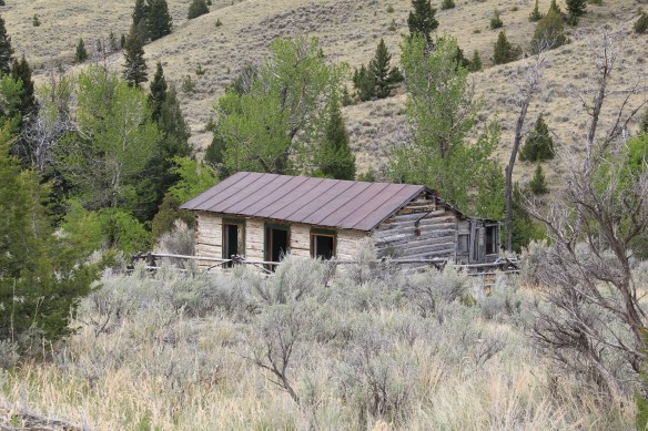


 At Farlin, the scars of mining are everywhere, surrounded by sage grass, brush, and scattered trees, trying to recover in what was once a denuded landscape. Operations had ended by the time of the Great Depression. While never a huge place–population estimates top out at 500–Farlin is representative of the smaller mining operations that reshaped the rural western Montana landscape. Not every place became a Butte, or a Virginia City. Properties like Farlin help to tell us of the often lonely and exceedingly difficult search for opportunity in the Treasure State over 100 years ago.