
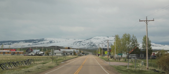
 Jackson, Montana, is another favorite place of mine in Beaverhead County. Located on Montana Highway 278, far away from any neighborhoods, the town dates to the 1880s, as
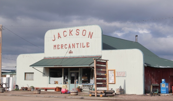 this area of the Big Hole Valley opened up to ranching. Its name came from Anton Jackson, the first postmaster; the town still has a historic post office building even though its


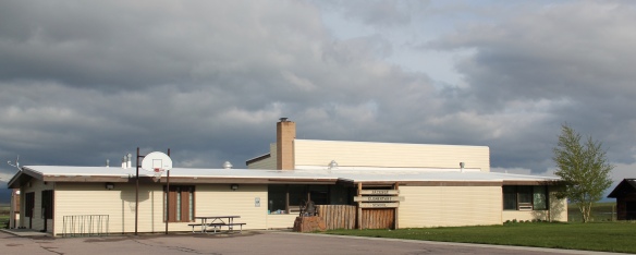
population barely tops 50. That is enough, once kids from surrounding ranches are added, to support the Jackson elementary school–a key to the town’s survival over the years.
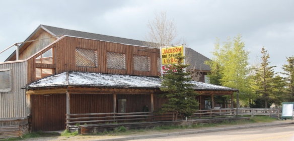
 Jackson grows significantly during the winter, as it is an increasingly popular winter get-away destination, centered on the historic Jackson Hot Springs, which had been upgraded and significantly expanded since my last visit in 1984.
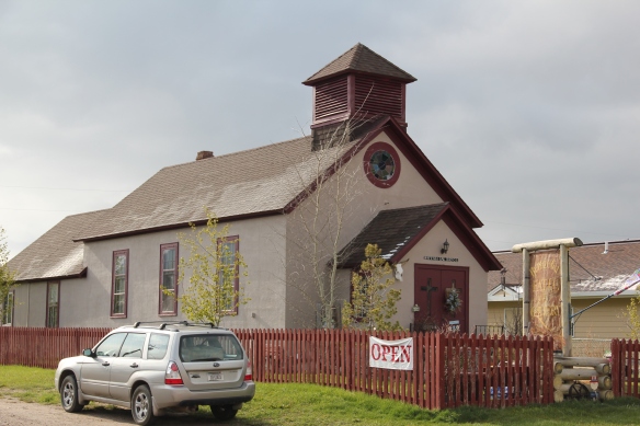
 But my real reason to tout the wonders of Jackson, Montana, lie with a simple but rather unique adaptive reuse project. A turn of the 20th century church building has been converted into a hat manufacturer business, the Buffalo Gal Hat Shop–and I like hats!
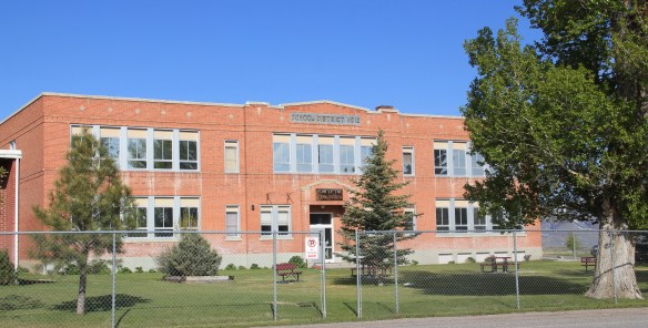
 Grant is another ranching town along a Montana secondary highway, this time Montana Highway 324. Like Jackson, it too has enough year-round residents and children from nearby ranches to support a school, a tiny modernist style building while an older early 20th century school building has become a community center.


Grant only attracts the more hardy traveler, mostly hunters. The Horse Prairie Stage Stop is combination restaurant, bar, and hotel–a throwback to isolated outposts of the late 19th century where exhausted travelers would bunk for a night.
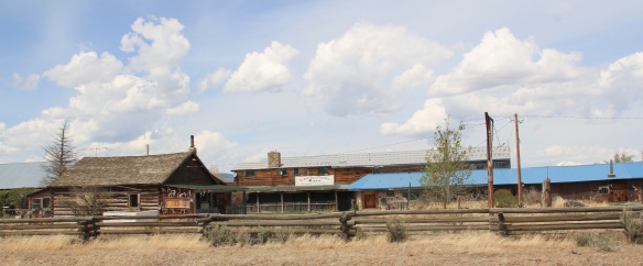 Back when I visited in 1984, Monte Elliott (only the third owner of the property he claimed) showed off his recent improvements made within the context of a business location that dated to the Civil War era. The lodge still keeps records from those early days that they share with interested visitors. In the 21st century, new owner Jason Vose additionally upgraded the facilities, but kept the business’s pride in its past as he further expanded its offerings to hunters and travelers.
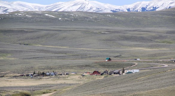
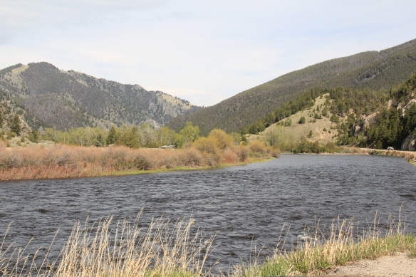 Far to the north along Montana Highway 43 is the Big Horn River Canyon, a spectacular but little known landscape within the state. Certainly anglers and hunters visited here, but the two towns along the river in this northern end of Beaverhead County are tiny places, best known perhaps for their bars as any thing else.


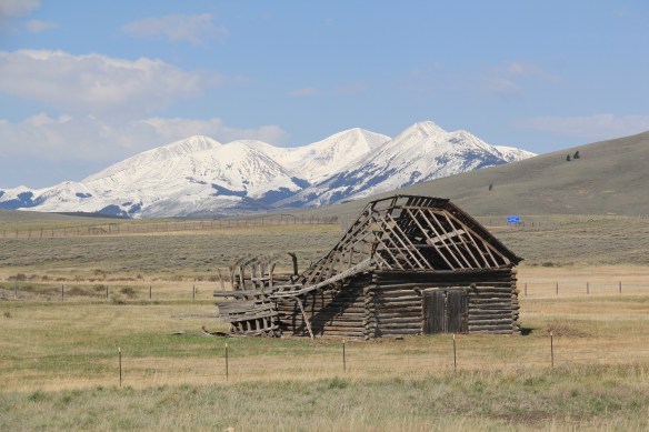
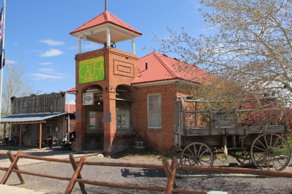
Certainly that is the case at Dewey, where the Dewey Bar attracts all sorts of patrons, even the four-legged kind. The early 20th century false-front general store that still operated in 1984 is now closed, but the town has protected two log barns that still front Montana Highway 43.


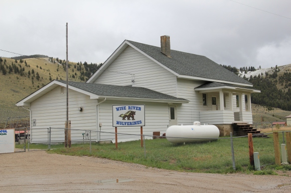
Wise River still has four primary components that can characterize a isolated western town: a post office, a school, a bar/cafe, and a community center. It is also the location for one of the ranger stations of the Beaverhead National Forest.


The station has a new modernist style administrative building but it also retains its early twentieth century work buildings and ranger residence, a Bungalow design out of logs.


The forest service station has provided Wise River with a degree of stability over the decades, aided by the town’s tiny post office and its early 20th century public school.
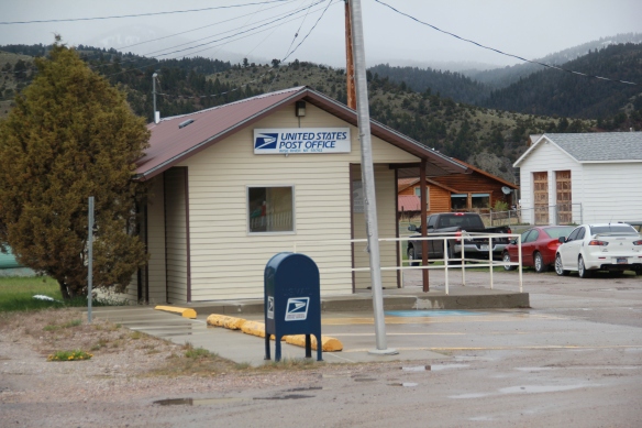
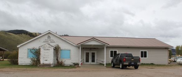
 Just as important as a town anchor is the Wise River Community Center, which began in the gable-front frame building as the Wise River Woman’s Club but has expanded over the last 30 years into the larger building you find today.
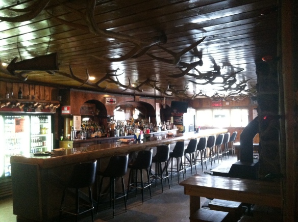
But to my eye the most important institution, especially for a traveler like me, is one of the state’s most interesting bits of roadside architecture, the Wise River Club. I have already written about this building, from my 1984 travels.
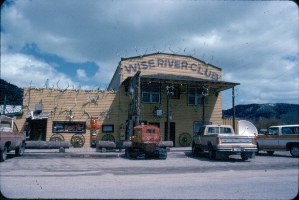 The liveliness of that 1984 exterior–note the mini-totem pole, the log benches, wagon wheels, and yes the many antlers defining the front wall–is muted in today’s building.
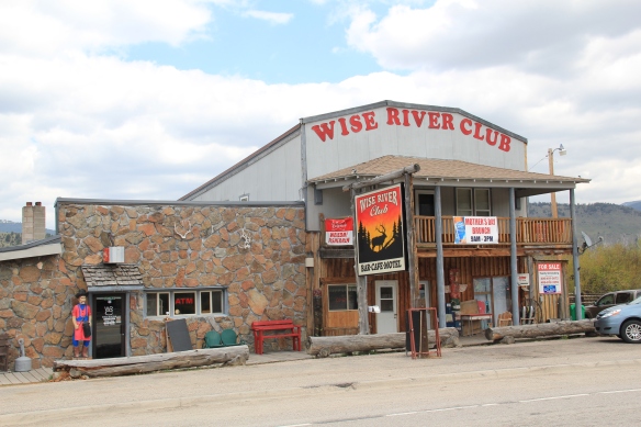 But the place is still there, serving locals and travelers, and a good number of the antlers now grace the main room of the bar.
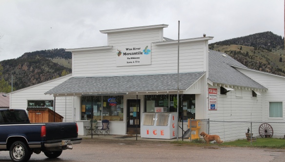
 Wise River, unlike Dewey but similar to Jackson, has been able to keep its historic general store in business. The post office moved out in the 1990s to the new separate building but the flag pole remains outside to mark how this building also served both private and public functions.
 The country towns of Beaverhead County help to landmark the agricultural history of this place, and how such a huge county as this one could still nurture tiny urban oases. Next I will leave the rural landscape and look at Beayerhead’s one true urban landscape–the county seat of Dillon.
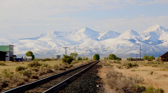
 Let’s start this theme with the railroad/ federal highway towns. Monida, at the state border with Idaho, is a good place to start, first established as a place on the Utah and Northern Railroad line as it moved north toward the mines at Butte in 1881. Monica had a second life as a highway stop on the old U.S. Highway 91 that paralleled the tracks, as evident in the old garages left behind.


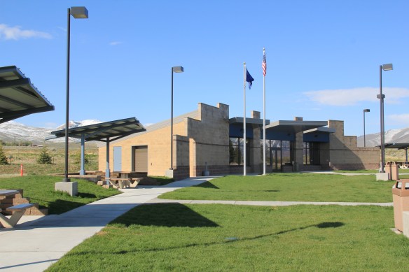 which possesses a Montana welcome center and rest stop. That’s important because at this stop you also can find one of the state’s mid-20th century examples of a tourist welcome center, which has been moved to this stop and then interpreted as part of the state’s evolving roadside architecture.




 The reclamation project, which stored water for irrigation, also covered the site of Camp Fortunate, a very important place within the larger narrative of the Lewis and Clark Expedition and its relationships and negotiations with the Shoshone Indians. An early


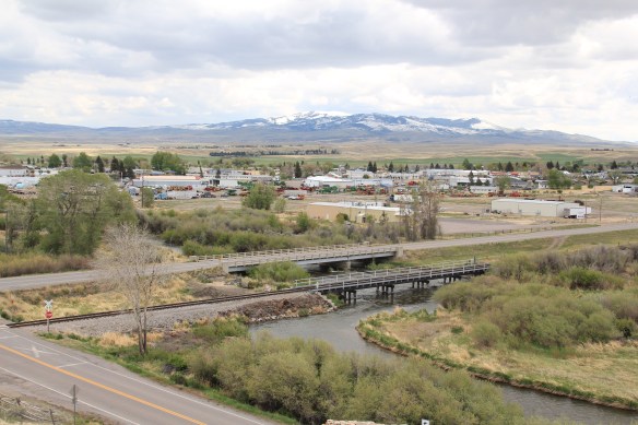


 My first trip to Beaverhead County in 1981 had two primary goals–and the first was to explore Bannack, the roots of Montana Territory, and one of its best connections to Civil War America. As this simple wooden sign below remarks, here in 1862 the first gold strike in what became Montana Territory occurred.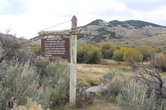
 a path because the glistening bits of metal loose in the sands of the creek had never interested the Native Americans but news of the find was enough to drive easterners, many of them southerners, away from the landscape of war and into a wholly different place, crested by beautiful mountains.
 Grasshopper Creek was not much of place then, and even now, but this stream of water became the source of a boom that eventually reshaped the boundaries of the northern Rockies and nearby its banks grew the town of Bannack, a name taken in part from the Bannock Indians who had used this landscape in far different ways for many years.
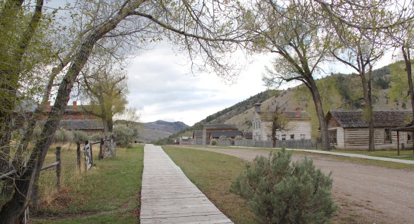 The story of the preservation of Bannock begins with local land owners, who protected the site, and kept most of the buildings from being scattered across the region. There was little official interest in the place at first. The state Daughters of American Revolution
 marked it in 1925, otherwise the buildings remained, some in use as residences or for public purposes, others melting away in the demanding climate. The Boveys moved the Goodrich Hotel to their preservation project at Virginia City and transformed it into the Fairweather Inn, which is still in use as lodging.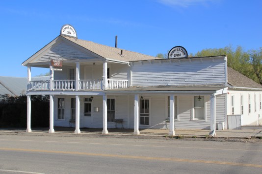
 In 1954, the Beaverhead County Historical Society transferred about 1/3 of the present property to the state for protection and development as a state park. Not until 1961 did the National Park Service recognize the town as a National Historic Landmark.


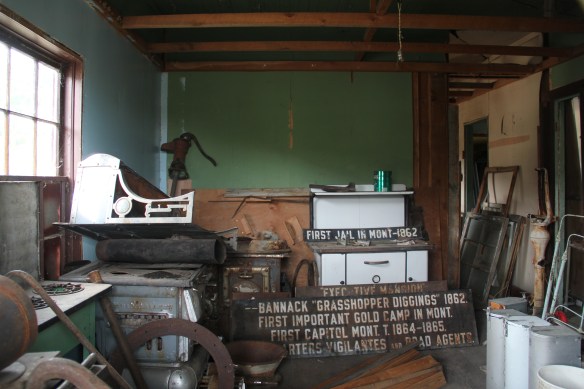 Gritty, dusty, forlorn: yes, Bannack is the real deal for anyone wanting to explore ground zero of the gold rush era in Montana, and to think about how in the midst of the great Civil War, federal officials found time to support adventurous citizens to launch a new territory in forgotten expanses of the northern Rockies.
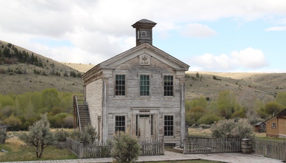 I thought that 30 years ago I “got” Bannack–there wasn’t much that I missed here. I was wrong. Probably like thousands of other visitors who fly into the town, and leave just as quickly, I missed what is still called the “new” town cemetery. Almost hidden in the sagebrush along Bannack Road, the “new” cemetery is not Boot Hill–where is Plummer
 buried people still want to know–but it is a remarkable place of hand-carved tombstones, others rich with Victorian imagery, and a few that are poignant reminders of the Civil War veterans who came here and stayed.


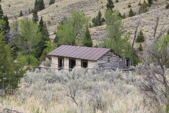


 At Farlin, the scars of mining are everywhere, surrounded by sage grass, brush, and scattered trees, trying to recover in what was once a denuded landscape. Operations had ended by the time of the Great Depression. While never a huge place–population estimates top out at 500–Farlin is representative of the smaller mining operations that reshaped the rural western Montana landscape. Not every place became a Butte, or a Virginia City. Properties like Farlin help to tell us of the often lonely and exceedingly difficult search for opportunity in the Treasure State over 100 years ago.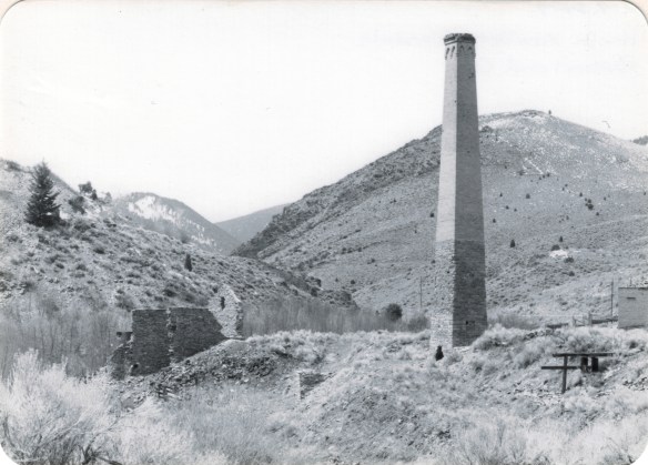
 When I returned to Glendale in 2012, I made sure to take a replica shot of the place I had photographed almost 30 years earlier. But I also went father and did my best to document a mining landscape in danger of disappearing in the 21st century. Below is an image when the Hecla smelter was in full production.
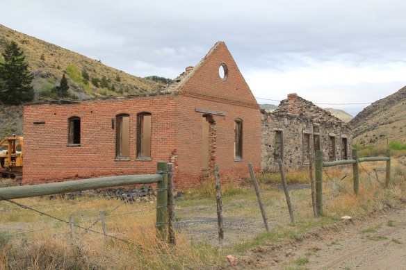
 There are some intact buildings at Glendale, but also numerous parts of buildings, facades and foundations that convey how busy the Glendale Road was some 100 years ago.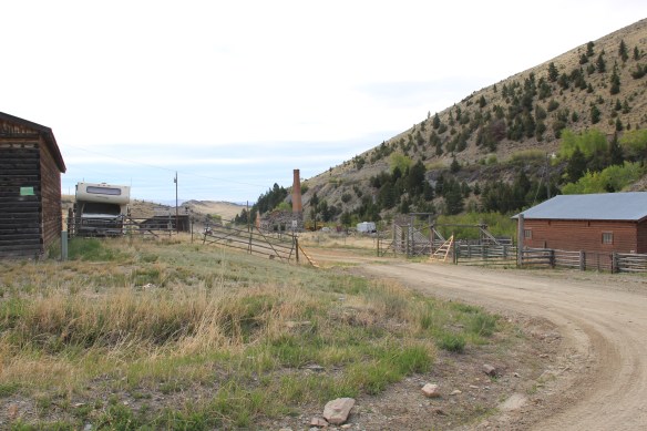



 Hecla Mining Company operated 28 kilns at a site a few miles away. Within the Beaverhead-Deer Lodge National Forest, the Canyon Creek Kilns are a remarkable property, preserved and now interpreted through the efforts of the U.S. Forest Service. The Forest Service should be commended for this effort. As the images below suggest, this property is one of the best places in Montana to stop and think of the mining landscape of the turn of the twentieth century and imagine what a moonscape it would have been 100 years ago when the kilns consumed all of the surrounding timber.


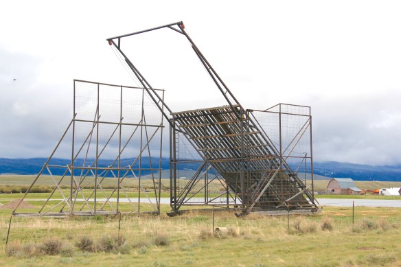
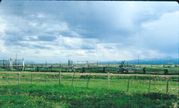 The Big Hole Valley was a place of interest to me in 1984, noted by the image above, for how ranches used logs to build the physical infrastructure–the log snake fences, the gates, the log barns and other ranch structures–of their properties.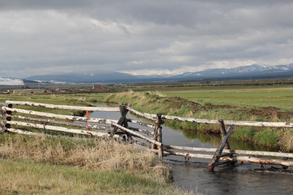
 What I didn’t give as much attention to, already commented on in this blog at numerous places, are the irrigation ditches, a more consistent supply of water that allowed ranchers to expand production.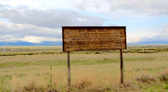


 Beaverhead County, named for the prominent, ancient landmark on the Beaverhead River at the corner of Madison and Beaverhead county, was the first rural place I visited in Montana after my arrival in Helena in 1981. Why? No pressing reason, except that the place name of Wisdom called out to me.


 The town’s large community hall remains in constant use. The separate Women’s Club
 building once welcomed ranch wives and daughters to town, giving them a place to rest and providing a small library of books. It has been converted into a small lodge for skiers and hunters–a great small town example of adaptive reuse.
 Of course the major landmark for travelers through Wisdom in the late 20th century was Conover’s Trading Post, a two-story false front building–clearly the most photographed place in town, and inside a classic western gun and recreation shop.
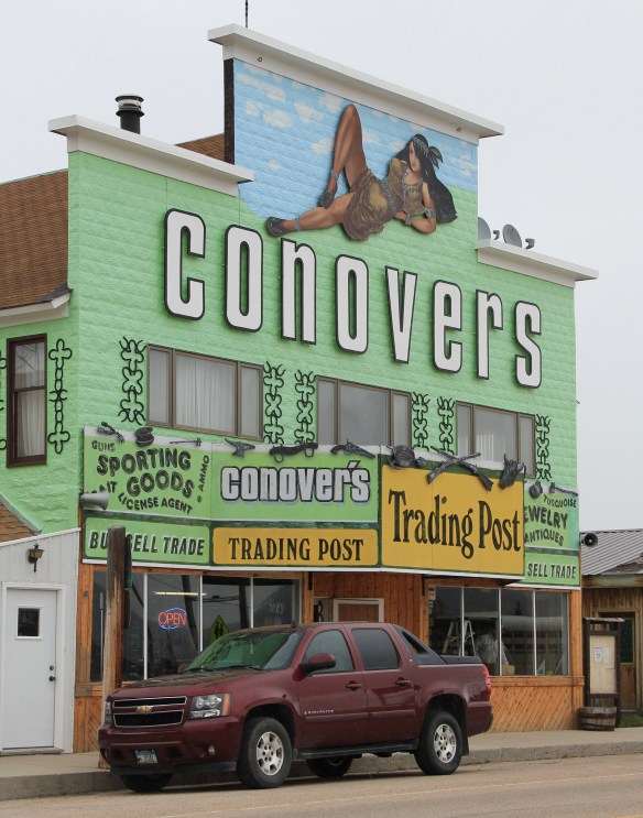 But the Conover’s facade, even the name, is no more. Not long after my 2012 visit to Wisdom, new owners totally remade the building and business, opening a new store named Hook and Horn.


 Pony, as a gateway into the Tobacco Root Mountains, may be categorized as a ghost town in much of today’s literature about Montana, but it certainly has a lot of real people hanging around to be a ghost town. Established during the gold rush decade of the 1860s, mines here stayed in operation until World War II, and consequently, a wide range of historic buildings remain in the town today.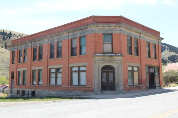


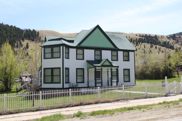 Yes, Pony has a park, another of positive developments since my work in 1984-1985. The park is not only community space, but it also has various artifacts and machinery from the mining era, along with public interpretation of the district’s history and of the artifacts within the park.

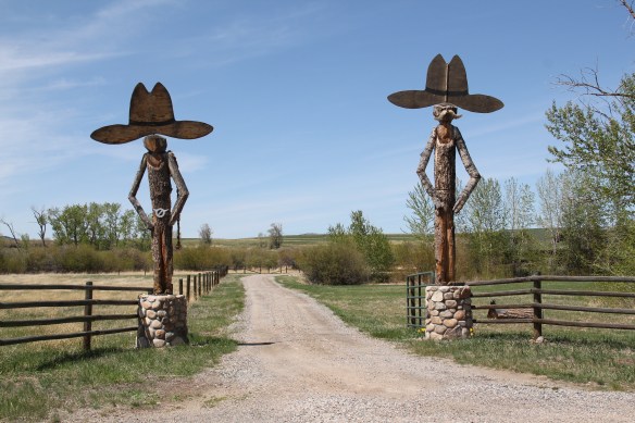
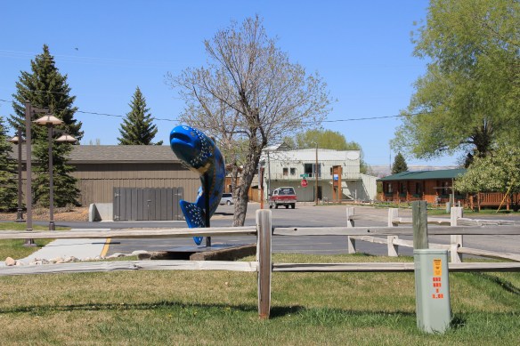
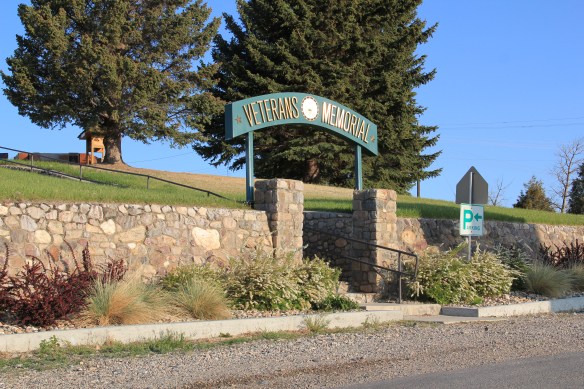 Nestled where Montana Highway 287 encounters U.S. Highway 287 in the southern end of Madison County, Ennis has changed in significant ways in the last 30 years. Its earlier dependence on automobile tourism to Yellowstone National Park has shifted into the favor of population growth and development in this portion of the county.
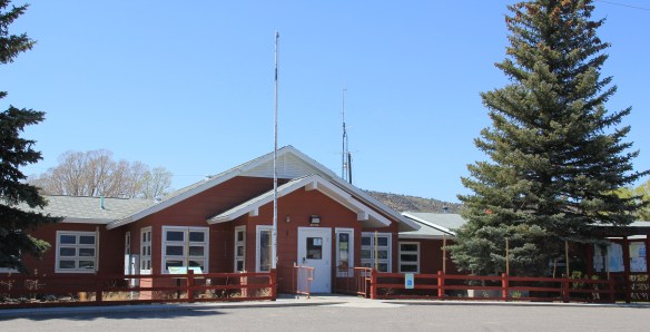
 The iconic Ennis Cafe, always a favorite place back in the day of the statewide work, remains, with a new false front emphasizing the wildlife and open spaces of this area. That place, along with several classic watering holes, served not only locals but the






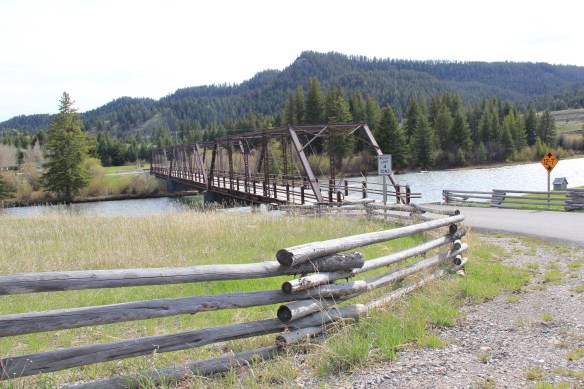 of a section of the highway where you will encounter magnificent views of the Madison River Valley and open ranch lands.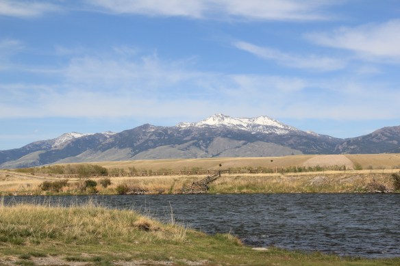
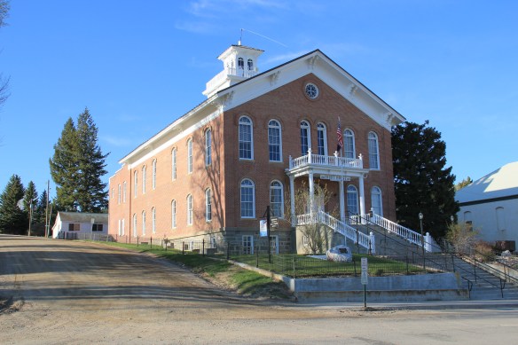 In restoring Virginia City, the Bovey family thus worked within a local government context. The Montana Heritage Foundation also works within that context today.
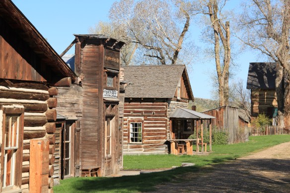
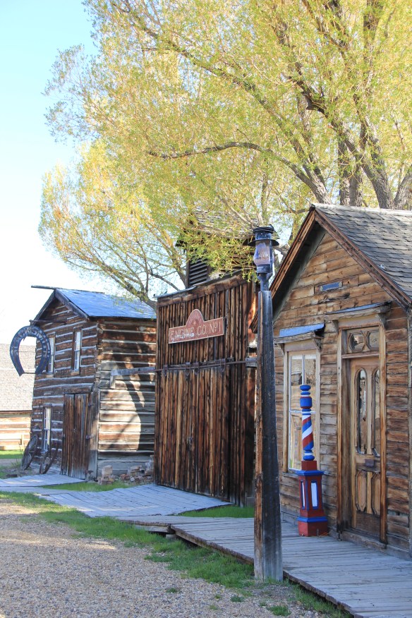
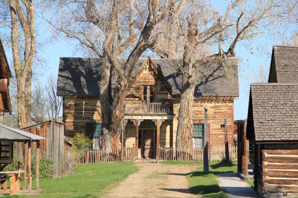 There was no living community here to speak of. It presented the opportunity for the Boveys to acquire and save other buildings from the area, however. The Finney property became the historic foundation of one of the state’s first “building zoos”–a collection of historic buildings moved together to tell a local history story. In 1984, when I was surveying Montana for the state historic preservation plan process, I paid little to no attention to Nevada City–here, I thought, was fake western history, with a bunch of moved buildings, which by definition are rarely eligible for the National Register.

 Nevada City tells multiple stories. One of the most apparent is how heritage tourism has shaped the late 20th century historic preservation movement. The lodging and restaurant at Nevada City is part of the general sustainability plan for the entire operation. The authentic environment and ease of highway access are major draws for tourists.
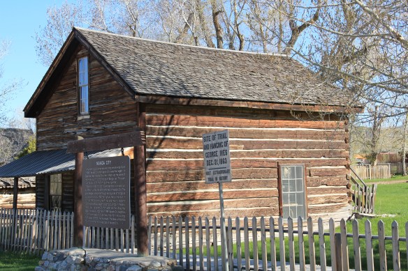

 Another way to consider Nevada City is how heritage tourism ideas of the 1960s–especially the idea of excursion passenger trains–impacted the built environment. What is now known as Alder Gulch Railroad started c. 1964, a way of attracting visitors to stop in Nevada City where then they could take the short ride to Virginia City.

 telling example of how historic preservation worked in the West, a true public-private partnership, in the years immediately before the passage of the National Historic Preservation Act in 1966.


