Lewistown’s Public Buildings: Legacies of Service in Two Centuries

IMG_9398

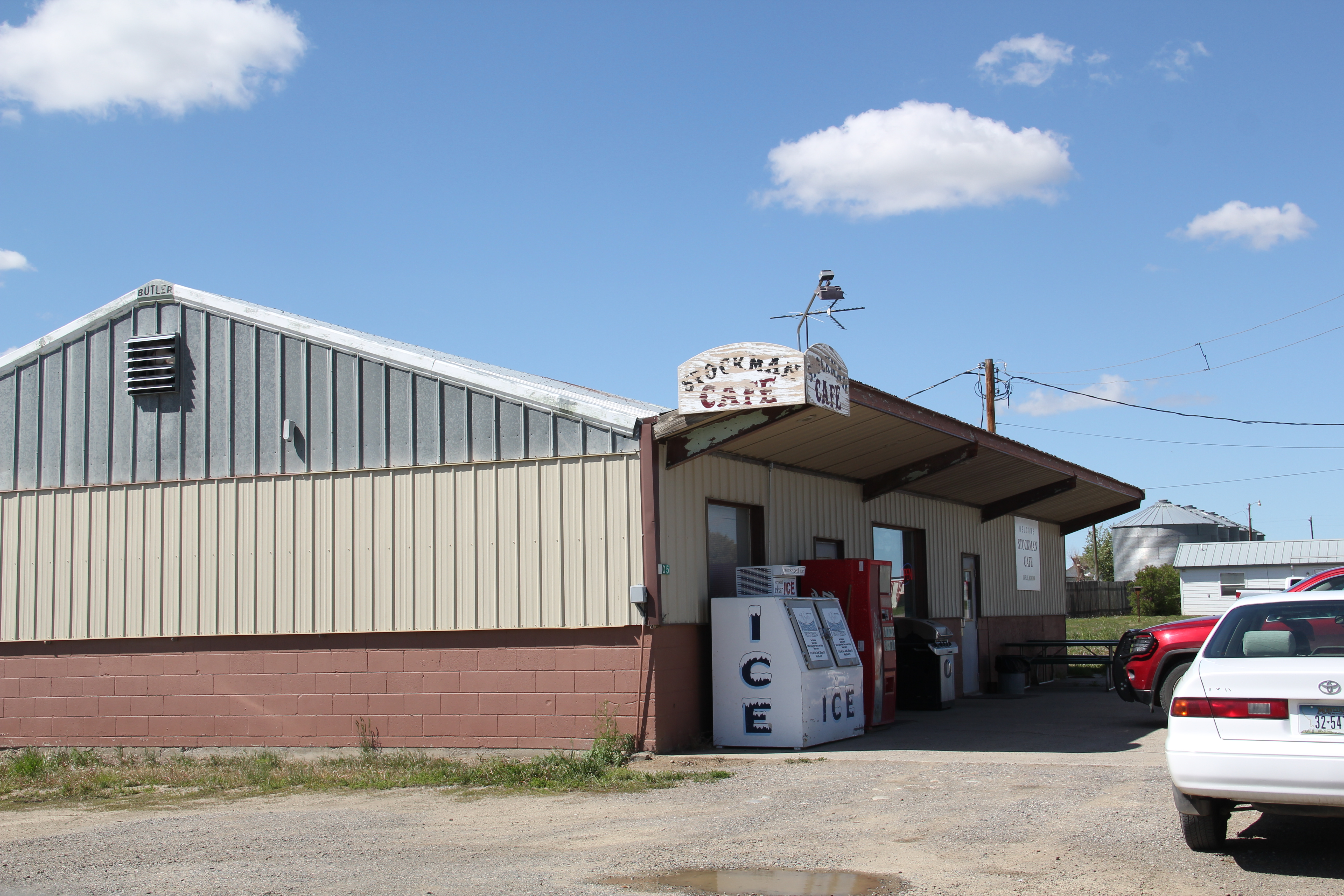
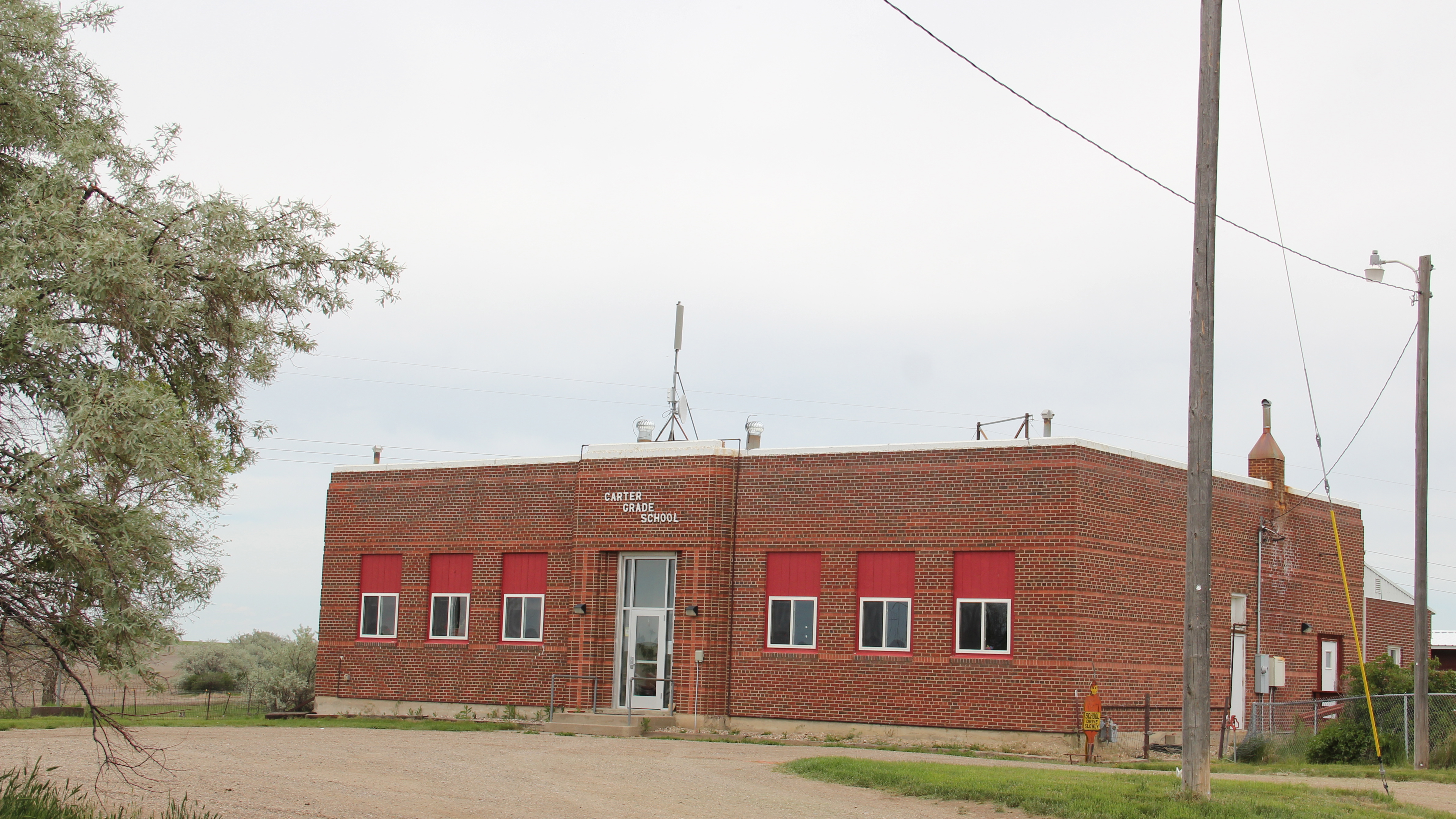
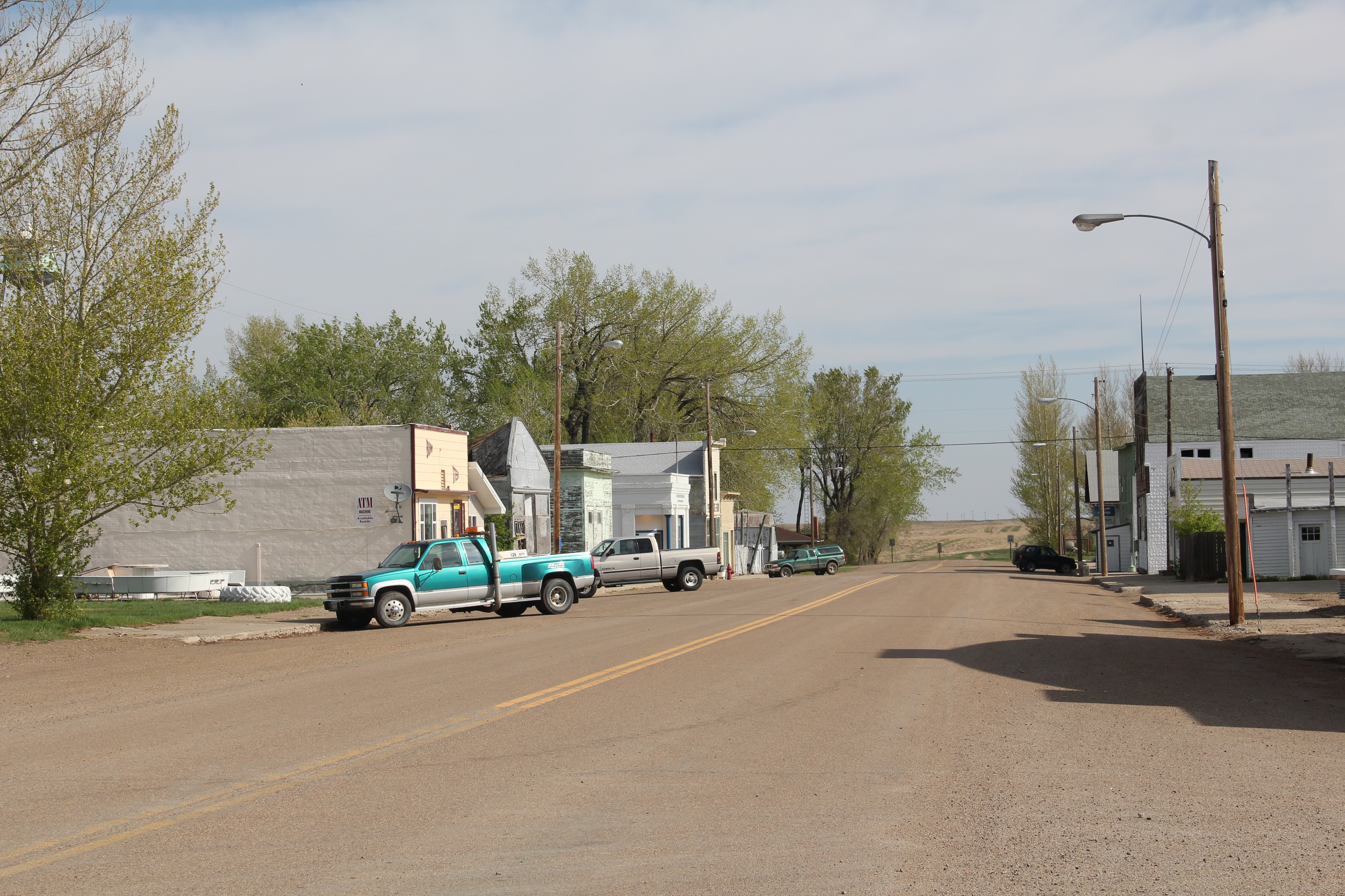
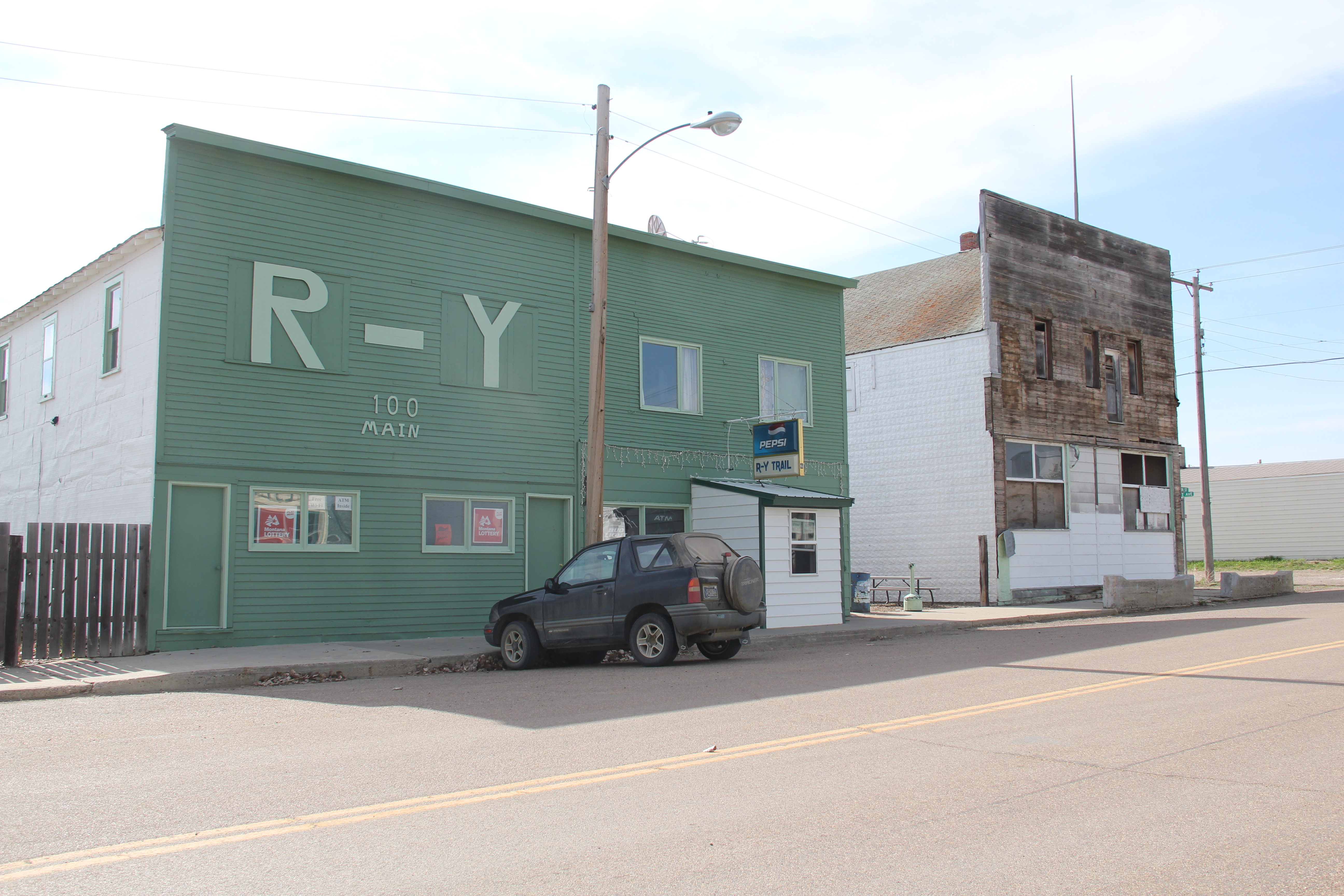
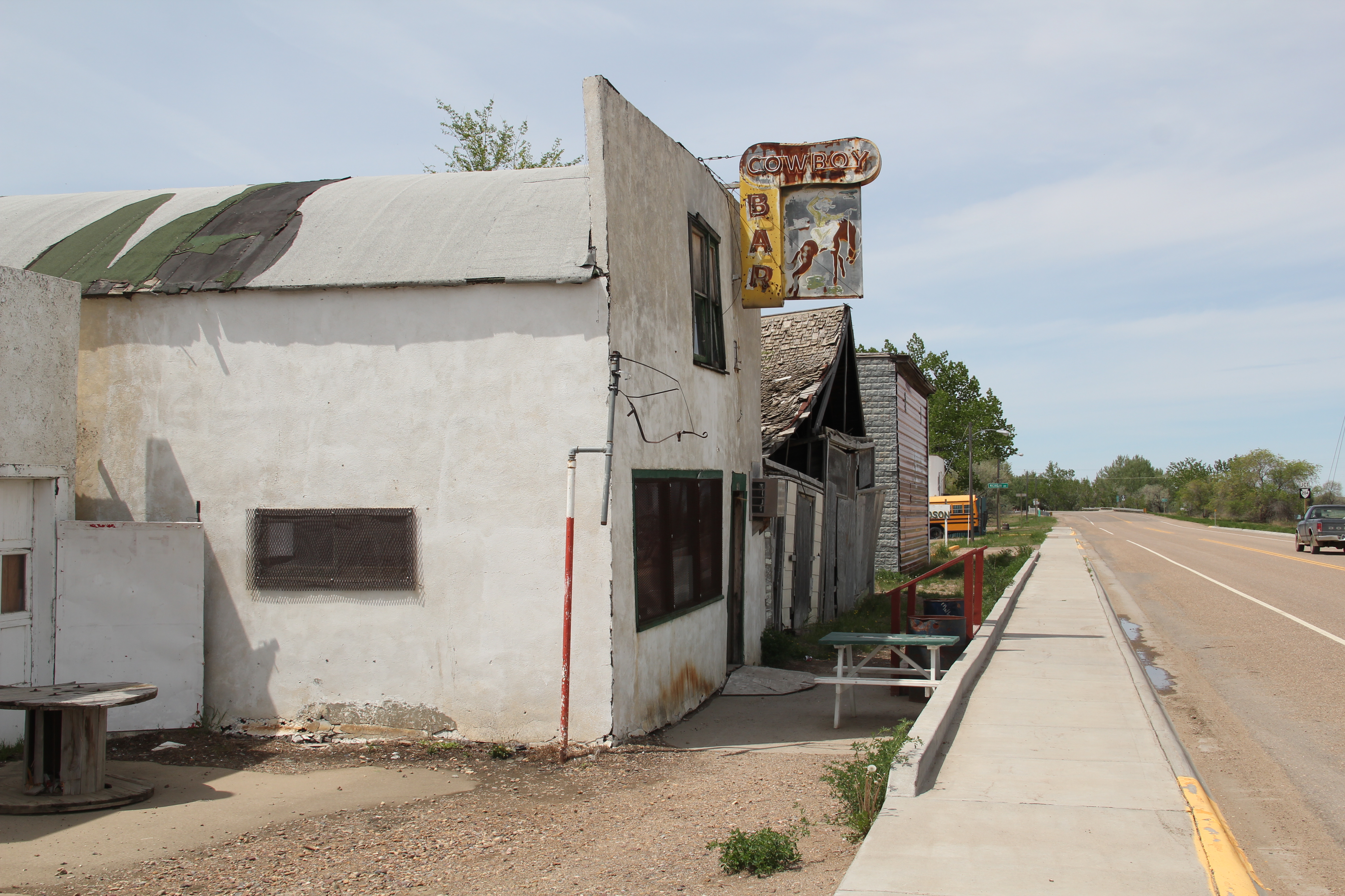
For a town of 6,000, Lewistown has an imposing, impressive public presence in its historic built environments.  Clearly town founders and generations of later residents have taken the meaning of public architecture to heart–not only are they just buildings meant to hold public services but they are buildings that are meant to ennoble–to say that the town matters to those who use them, and those who come this way.

IMG_9392

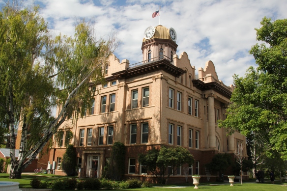
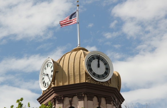
The Fergus County Courthouse (1907-1908) lies at the center of town, on a rise above the railroads tracks and central business district and then the homes and schools that surround it.  Newton C. Gauntt of Yakima, Washington, was the architect.  He also designed courthouses in Washington and Oregon.  His Classical Revival design reflected a more vernacular interpretation of the style that preceded the courthouse by two years–that would be the Carnegie Library of 1905.  T. J. Tubb was the

IMG_9386

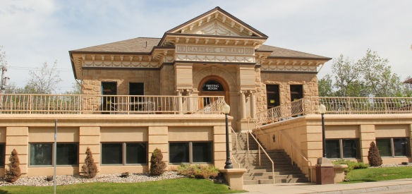
contractor/designer and used the town’s Croatian stone masons to create one of the most distinctive Carnegie designs in the state.  The additions below and in front came in 1990–quite the change in 30 years but also a necessary one to keep the original building as a community landmark and to serve a much different public library audience of the late 20th century.

IMG_9385

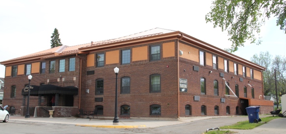
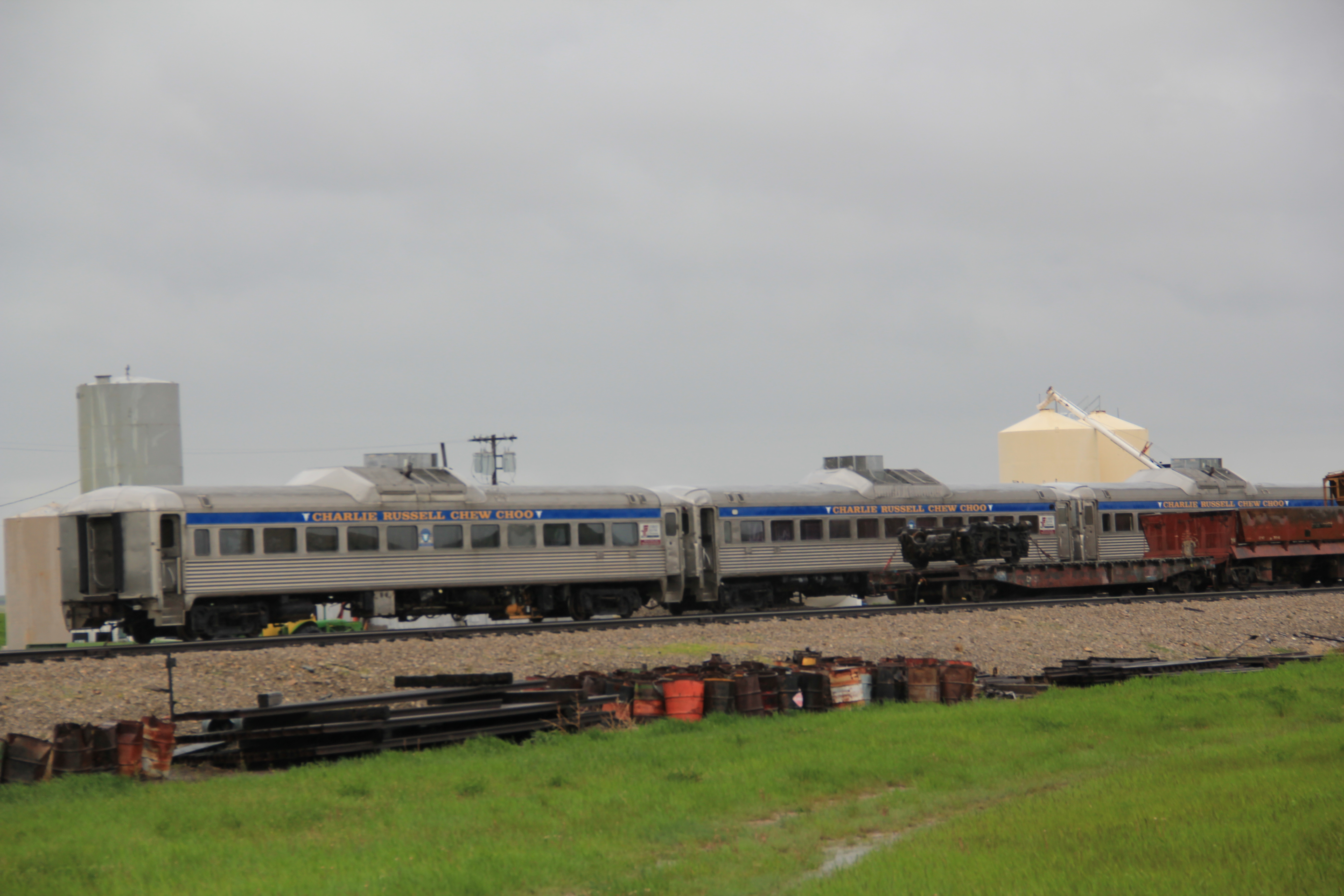
Behind the library was the place I always stayed at in Lewistown during the fieldwork of 1984–the Calvert Hotel.  Originally built as a girls’ high school dormitory, the building was a disappearing relic from the early homesteading days before buses and automobiles dominated traffic do and from county schools.  Students in faraway ranches would spend the week, maybe more, in the dorms during the school term–a reality that spoke to sense of distance and the limits of transportation 100 years ago.  In the 1980s, the Calvert was much like its dorm-day appearances: some modern upgrades but it was a rustic, and inexpensive, stay, perfect for someone like me.  New owners, thankfully, carried out a complete restoration and upgrade between 2007-2009.  The Calvert is now a totally different place, and fits squarely in our theme of a public building serving the community well, through adaptive reuse and historic preservation, in the 21st century.

IMG_9383

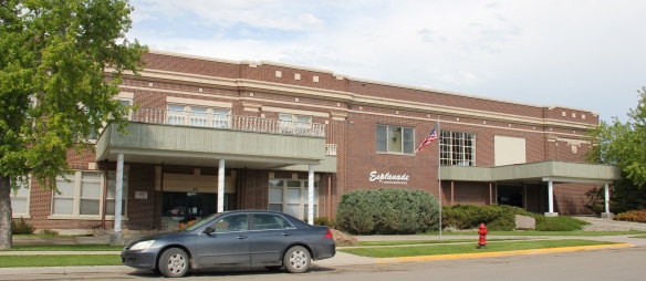
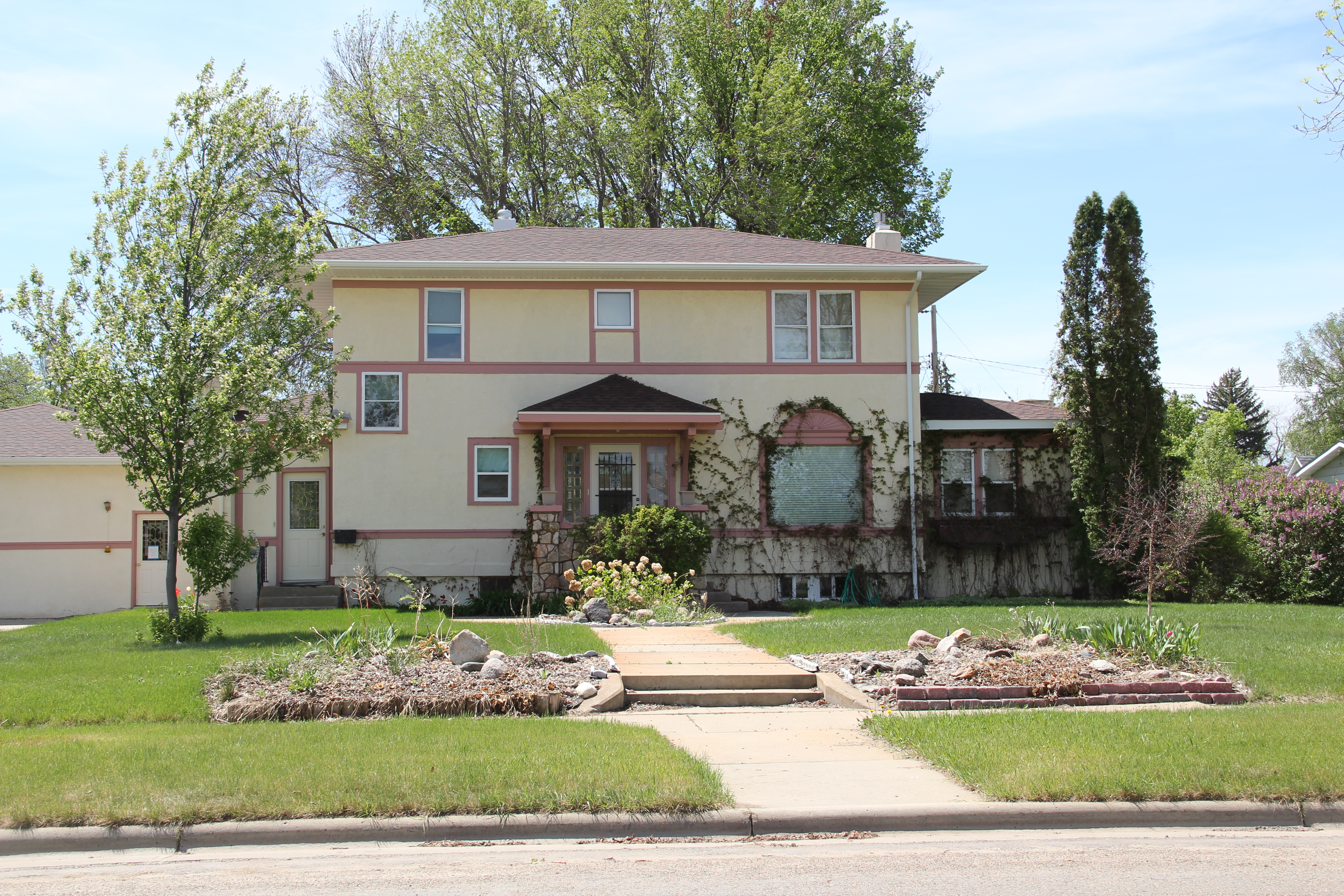
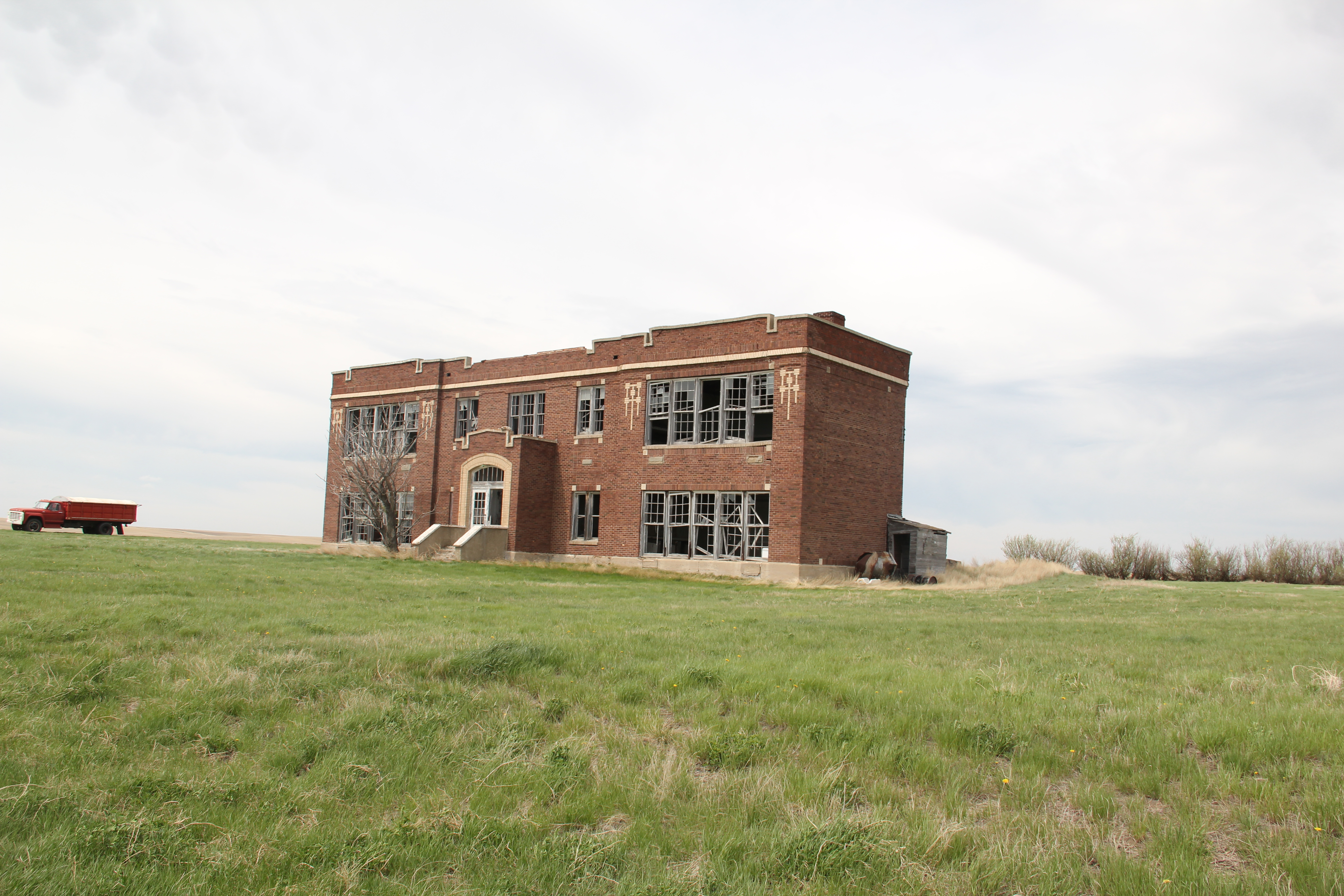
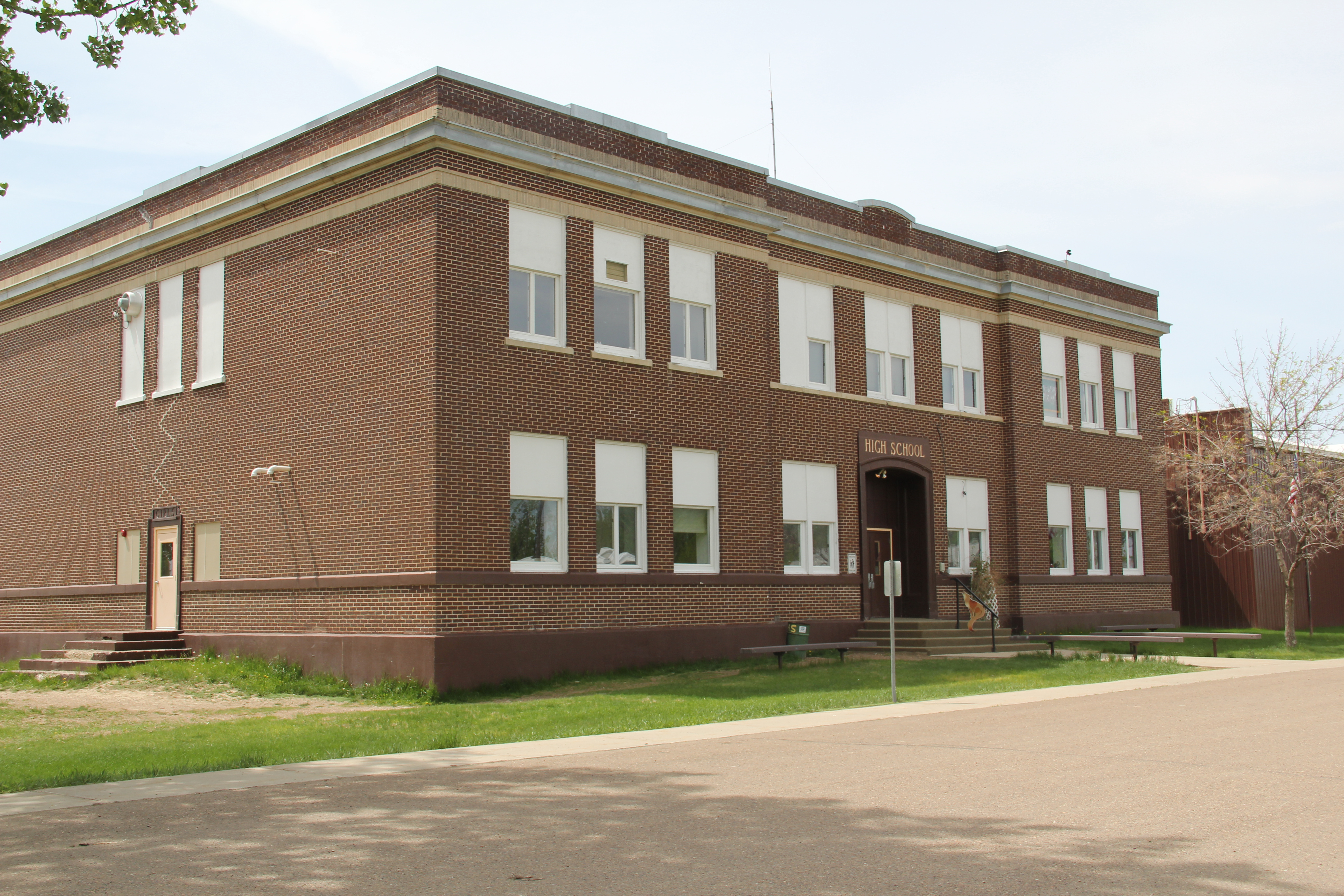
The same can be said for the historic school just up the street from the Calvert and its conversion into the Esplanade condominiums.  Here again, a public building still serves the community but in a different way than before.

IMG_9979

IMG_9976

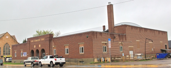
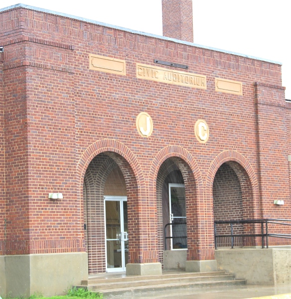
In the central business district, the grand triple-arched entrance of the Civic Auditorium is a reminder of the impact of the New Deal on the city.  The Works Progress Administration did a lot of little things in Lewistown, streets, sidewalks, utilities, but its most lasting contribution is the civic auditorium of 1936, still a meeting place for community events.

IMG_9921

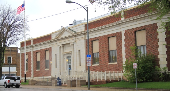
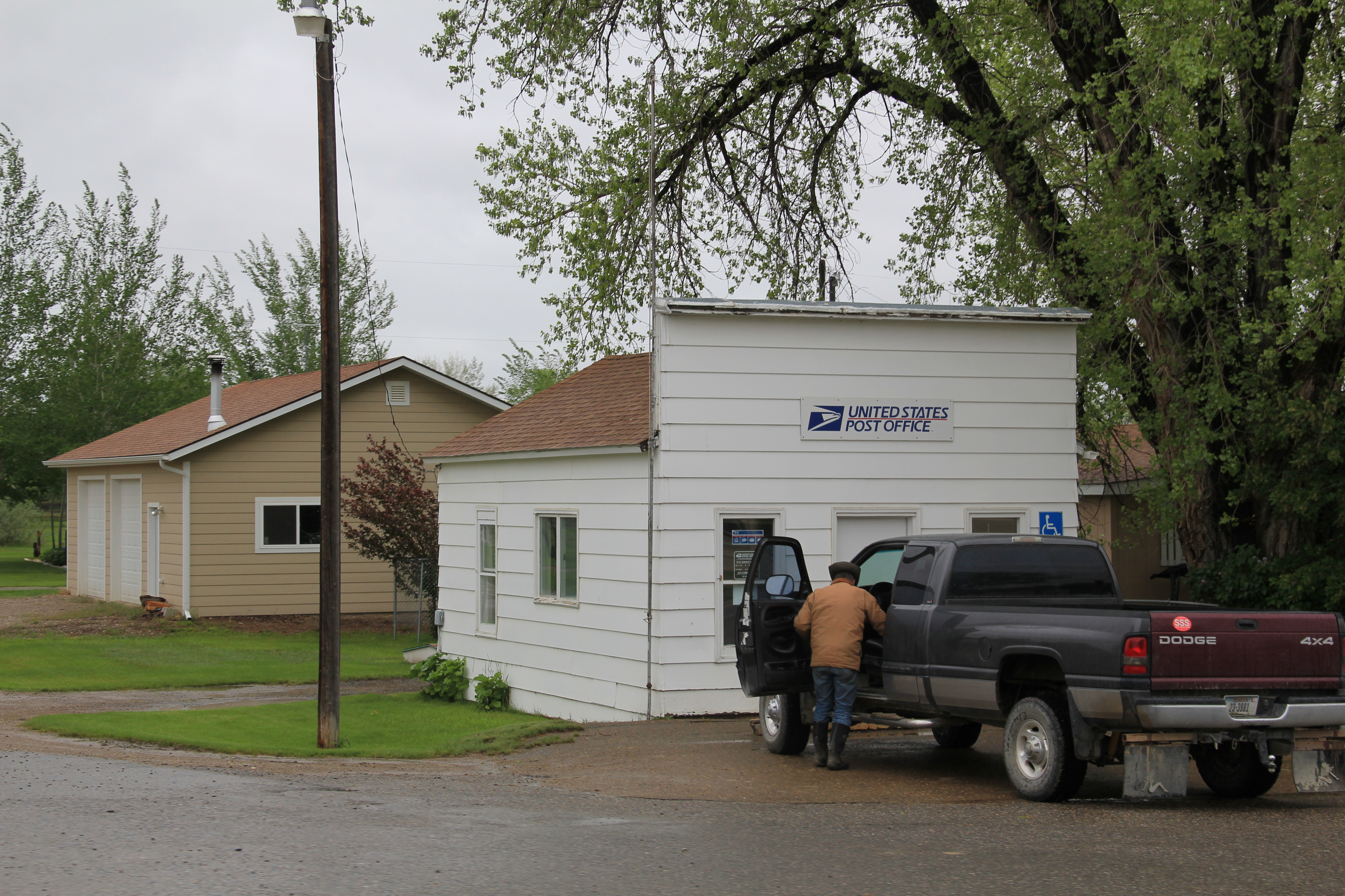
Another federally funded building a few steps away was finished during the beginning of the Great Depression, the Lewistown Post Office, an impressive Classical Revival design from 1931.


IMG_9907

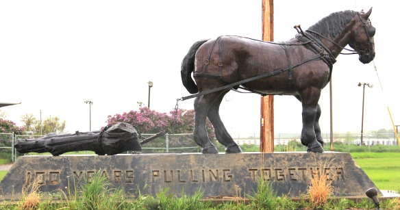
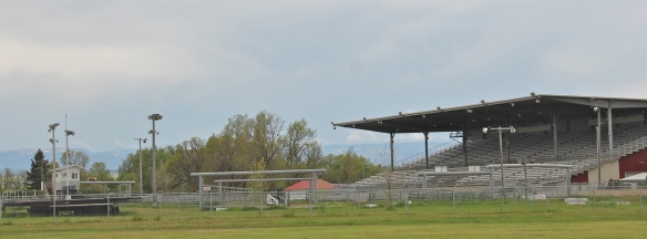
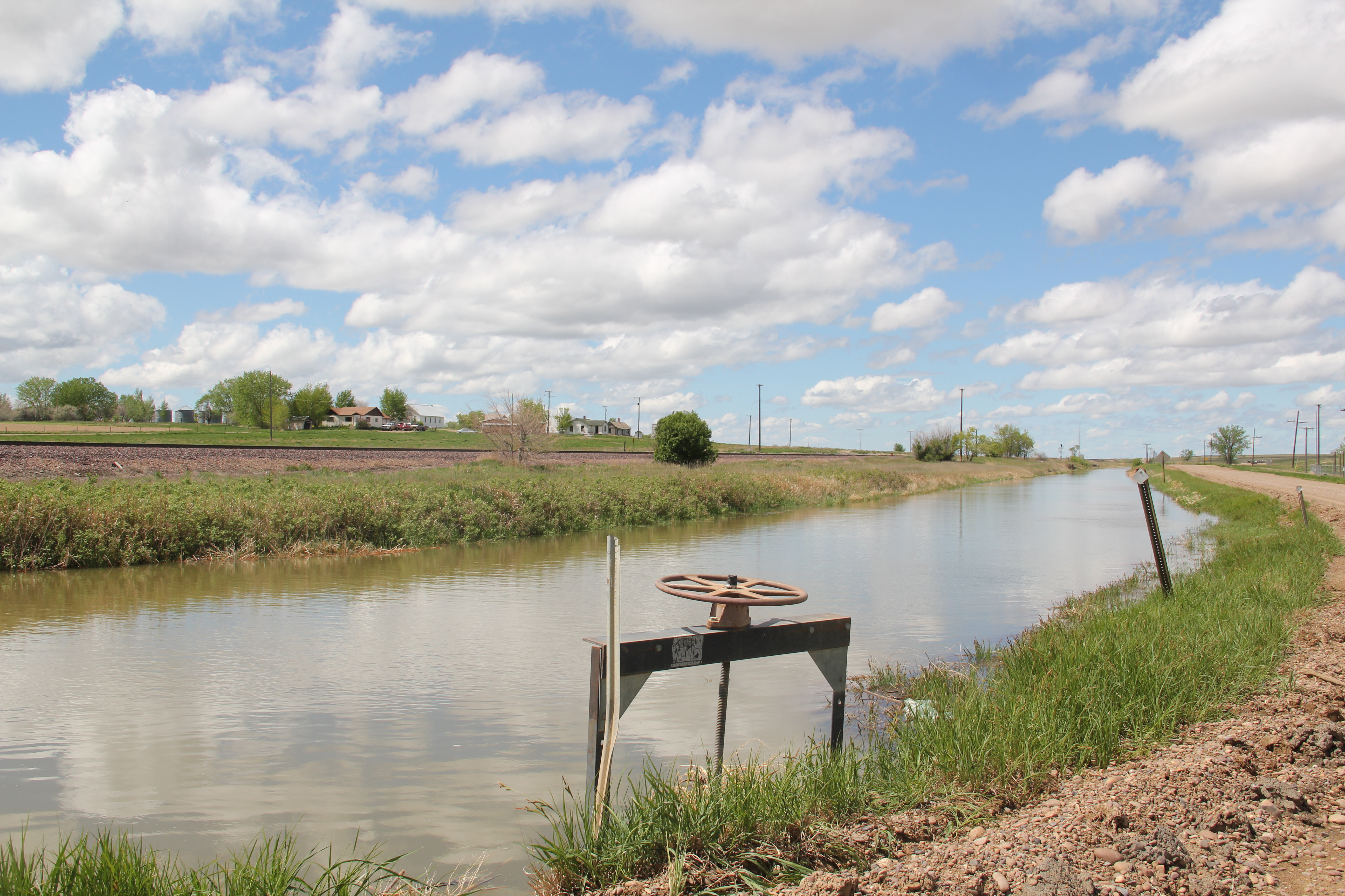
On the outskirts of town is another important set of buildings still in community service, not just to Lewistown but to towns and villages from miles away:  the Central Montana Fairgrounds.  The monument at the front entrance, part of the fair’s centennial celebration a few years ago, says it all:  100 years of pulling together.  Yes, it is a good motto for the fair, but to my eye it’s also a fitting motto for the entire town.

IMG_9378

IMG_9372

IMG_9373

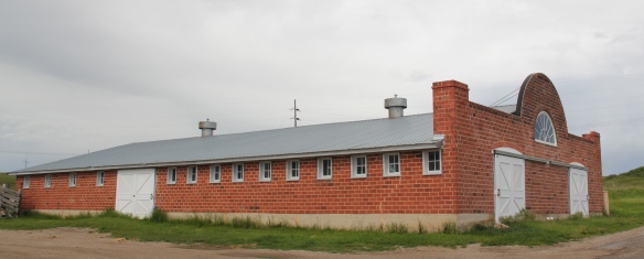
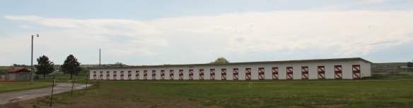
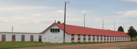
The fairgrounds has an array of historic barns, stalls, and exhibition buildings that define the grounds while the new grandstand defines the signature events of today’s 21st century fair experience.

IMG_9377


The High Prairie of Stillwater County

IMG_5914Stillwater County is one of the most beautiful spots in all of the Yellowstone Valley.   The parallel routes of the Yelllowstone River, the c. 1882 corridor of the Northern Pacific Railroad, the c. 1920 route of old U.S. Highway 10 and the modern marvel of Interstate I-90, shown above, define the county’s historic landscape for most residents, and travelers.

IMG_5894But running directly north from the county seat of Columbus  is a two-lane Montana highway that takes you to a totally different landscape, that of the high prairie of thousands of acres of wheat fields.  The road ends about 20 or so miles away at the town of Rapelje, a promising trade center when it was first established as a railroad branch in 1913

IMG_5909

during the homesteading boom but now one of the region’s small country towns, defined by its school, its church, its cafe, and its grain elevators.  Its set of four early 20th century elevators, standing as sentinels of settlement but also as just man-made landmarks in a vast landscape of seemingly nothingness, is a remarkable statement of the built environment of Montana’s homesteading era.

IMG_5900Businesses are few and far between–the handful of local residents and scattered ranch families take their business to Columbus, or a bit farther to Laurel and Billings.  There is still a town cafe–the Stockman Cafe–which is run as a volunteer cooperative for those passing through.  The past few summers a June bike race has become a popular fund-raiser for the cafe.

IMG_5907The town has retained two public buildings–its post office and its school, the pride of the community, which was built in 1920 and has since been renovated and expanded with a new wing to the rear of the historic building.  The school is home to the Rapelje Rockets.

IMG_5903With less than 100 residents in Rapelje, the school educates ranch kids living throughout the county’s high prairie, a role similar to the local post office, which despite threats last decade to close many of the state’s rural post offices, still serves this farming community.

IMG_5898The loss of population means that Rapelje has just two primary sacred places:  the Gothic-styled community church, built during the initial decade of settlement, and the town

IMG_5901cemetery, which is located south of the village on a rise that overlooks the open prairie in all four directions.  Of course, as Rapelje fades into the past, the cemetery grows in its number of headstones–a sign of what limits the future holds for this high prairie town.

IMG_5895 IMG_5897

Chouteau County’s Plains Country Towns

IMG_9327

Thirty years ago geographer John Hudson wrote a series of articles and a book on the topic of “plains country towns,” addressing the landscape patterns he found among the railroad-established towns of the northern plains.  Ever since Hudson’s concept of plains country towns has influenced how I look at the Montana’s small towns.  Even in such river counties as Chouteau County where the Missouri River trade base of Fort Benton has dominated the county’s economy and population since the mid-19th century, you can still find the unmistakeable imprint of the railroad and the grain elevators that mark the presence of a town.

IMG_8832

Earlier in this blog I have discussed Square Butte (above) and Geraldine.  Today I want to review two other small towns, Highwood and Carter.  Highwood is the largest, counting

IMG_8873

just about 175 people in the last census.  Like most plains country towns, it has steadily lost population in the last 50 years.  In fact this weekend’s Great Falls Tribune discussed how the Highwood High School was going to forge a co-op for sports with Geraldine so both schools could continue to have basketball, volley ball and 7-man football, played at this tiny field in Highwood.

IMG_8875

IMG_8877

The Highwood School is no doubt the pride and center of this community, a place not often found by travelers nestled as it is in a gulch formed by Highwood Creek along Montana Highway 228.  It began in the 1880s as cattle country but with the coming of the railroad in the 1910s t became an outlet for grains, as its set of tall elevators makes apparent.  A small one-story false front building for the 1912 Highwood Mercantile Company also remains to mark the town’s railroad years.

IMG_8881

IMG_8880

Carter has one-third the population of Highwood–only about 50 people in the 2010 census–but is better known to travelers due to its location along U.S. Highway 87 between Great Falls and Fort Benton.  The Rocking K Bar is the roadside landmark but travelers

IMG_9334should turn south and drive down into Carter proper since the town, despite its tiny number of residents, still has many of the community institutions that defined a proper plains country town of 100 years ago.

IMG_9318

First, there is the still operating Carter Elementary School, probably the one institution that keeps the town alive–when country towns lose their school soon everything else goes too.

IMG_9319

Next comes the tracks, railroad depot, and the grain elevators–while not public institutions they do give the community commercial lifeblood, and as long as the trains roll by there remains an economic reason for Carter to exist.

IMG_9326

The depot has been moved from its original location paralleling the tracks, but this early 20th century standardized designed combination depot for the Great Northern Railway still stands–there were hundreds across the state in my survey of 1984-1985 and one of the more disturbing trends of the new survey of 2013-2015 is how many Great Northern depots are gone, eliminating from the landscape they once dominated.

IMG_9325

Faith too has remained in Carter, with the persistence of the town’s small vernacular styled gable-front little white Methodist church, although in its first generation several congregations had been established here.

IMG_9329

Carter also still has its Community Hall–an institution across the northern plains that defined hope and persistence in the years following the homesteading bust of the 1920s.
IMG_9331
Community halls too were more numerous in 1984-1985 than today–the building in Carter is a significant community link between past and present.

IMG_9330Finally there is the federal presence–marked by a concrete block post office from the last decades of the 20th century.  The threat a few years ago to close hundreds of rural post offices across the region brought new, and necessary, addition to role of post offices as modern community landmarks for plains country towns.

Admittedly, Carter is a place that hundreds roar pass daily as they drive U.S. Highway 87. But with its extant school, depot, brace of elevators, church, community hall, and post office, Carter is a valuable physical document of the plains country towns that once populated eastern Montana, serving as important way stations along the metropolitan corridors of rails and sidings that crisscrossed the west.

Denton: Fergus County’s Agricultural Trade Centers

IMG_9892

Fergus County, with Lewistown as the county seat, lies at the heart of Central Montana.  Although gold and other precious minerals were found at Maiden and other sites in the early years, the region grew once the railroads came at the turn of the century.  More than a dozen substantial agricultural trade centers, all connected to Lewistown by the rails, soon surrounded the county seat.  When I surveyed the region in the 1980s, the continued vitality of these towns impressed–and they still deserve a close look today.

Denton Fergus Co

In 1984 I came looking for railroad depots, frankly, but was blown away by the Farmers State Bank, one of the best “strongbox” style of small town banks I had encountered anywhere in Montana.  The town then was in a pattern of slow, steady decline, from a high of 435 residents in 1950 to 356 in 1980.  That rate in most Montana country towns meant that the bank was long gone–but here it remained and stood proudly along Highway 81.

IMG_9884

Thirty years later, the bank building still made its statement of permanence in materials (brick) and in style along the highway.  Indeed, the town’s population had continued to slip downward, especially in the last 20 years, reaching a mere 255 residents in the last census.  But the bank remains–and even has a new addition to the rear of the building.

IMG_9885

I passed by this iconic Fergus County building in late May of this year, just weeks after the completion of its merger with Dutton State Bank (another great building to be discussed later).  All was well: it remained one of Denton’s anchors.

IMG_9896The town’s schools are another important anchor.  The football field (see the first image) serves as the eastern gateway to Denton; the schools are bunched together as though they grew organically from that spot one hundred years ago and have evolved ever since.

IMG_9880

True, Denton and its neighbor to the west Coffee Creek celebrated their centennials in 2013.  And it was appropriate that a granary announced this fact since grain is king here. The elevators standing along the old Milwaukee Road line still boldly state the importance of agriculture to Denton. Even after the Milwaukee ceased operations in 1980 state officials worked with local governments and ranchers to create a new Central Montana line, which kept the elevators running, and in more recent times, has made Denton the western terminus of the popular Charlie Russell Choo-Choo excursion train.

IMG_9881

IMG_9882

Schools, a bank, and grain elevators are anchors but Denton also has maintained vibrant cultural institutions from its town library, housed in a brilliant c1960 building, and churches such as the historic Gothic-styled Our Savior Lutheran Church and St. Anthony Catholic Church.

IMG_9887

IMG_9897

IMG_9898

Residents also have kept the local Masonic Lodge in operation, housed in the 2nd floor of the post office building, which, due to its overall neoclassical style-appearance and corner lot setting, was probably a bank building built shortly after Denton became a town in 1913.

Fergus Co Denton post office and masonic hall  - Version 2

Musselshell school and the Musselshell Valley

IMG_0091

Traveling west of U.S. 12 along the Musselshell River Valley, I eagerly sought out the town of Musselshell, assuming that the 30 years since my last visit had not been kind to the small country town.  I hope that the iconic 1913 school–a gleaming yellow brick landmark–was still there.  It had survived, as the photo above attests, although students no longer attend classes there.  Musselshell School closed as an education institution over 10 years ago, but a group of determined community-minded residents formed the Friends of Musselshell School and saved the building, turning it into community center for the western end of the county.  When I visited in 2013–new work to the building was evident, including newly installed windows, courtesy of a $10,000 grant from PPL Montana Community Fund.

Handel store, c. 1912, and Musselshell overview

Handel store, c. 1912, and Musselshell overview

Musselshell prospered in its first decade of existence, after the arrival of the Milwaukee Road, and has been in decline, really, ever since.  But it retains both the historic high school and elementary school (which is now headquarters for the volunteer fire department), along with early 20th century churches, community institutions for a vanishing population.

IMG_0093

IMG_0094

Community Bible Church, Musselshell

Vanishing as well is the story told by the area’s mid-20th century irrigation project, the Delphia-Melstone Canals, built in 1950 and 1953 by the State of Montana.  The diversion dam at Musselshell was the project’s largest at 182 feet.

IMG_0098

Somehow Musselshell has been able to hang on to its tiny false-front post office, a reminder of the community’s persistence along a railroad that has disappeared and a highway that receives so few travelers today.

IMG_0095

The Yellowstone’s Prairie County

Old U.S. 10 bridge over Yellowstone River, Prairie County, MT Old U.S. 10 bridge over Yellowstone River, Prairie County, MT

From Glendive in 1984, I began to move up the Yellowstone Valley, taking a particular interest in the various Northern Pacific railroad towns–that over-arching pattern in the region’s historic landscape was clearly my over-riding interest in 1984. But places like Prairie County added their own intriguing challenges. Here the Milwaukee Road, coming from the southeast, entered into the valley. And then there was the real treasure trove of early settlement photographs produced by Evelyn Cameron. Thirty years ago, Cameron’s stark yet compelling images were just become re-discovered and appreciated. Her images were also in my head as I traveled this small eastern Montana county.
Evelyn cameron
Fallon was the first town I encountered in Prairie County. Established during the building of the Northern Pacific in the early 1880s, it has never been a big place. Its National Register landmark is probably rarely recognized, since it is the steel truss bridge on old U.S. 10 that crosses the Yellowstone at this place. This magnificent continuous span Warren through truss bridge is Montana’s longest truss bridge, 1,142 feet. It was built in 1944 as a wartime emergency project after a ice flow destroyed an earlier crossing at this place. It is also a reminder of how crucial old U.S. 10 was to the nation’s transportation system in the mid-20th century.
IMG_7194
When I visited Fallon 30 years ago, the school was a focal point of the community. In 2013, it was closed, and counted as one of the National Trust for Historic Places threatened rural schools of Montana.
IMG_7206
The old bank building was the post office, a great adaptive reuse I thought in 1984. This neoclassical brick building is still the post office–having survived the earlier postal service to close many small town Montana post offices.
IMG_7196
Another really important place of continuity was the Lazy Jo’s bar and cafe. Housed in one of those typical Eastern Montana buildings that grew, morphed, and changed again over the last 100+ years, it is still a great place, and an active community center.
IMG_7197
Across from the bar, between the town’s main street and the railroad tracks, was the water trough, a reminder of those days amply recorded in Cameron’s photographs 100 years ago, and the town’s only marked historic structure.
IMG_7203
Community pride is probably expressed best through the tiny but still active Fallon Town Park and the quietly dignified Grace Lutheran Church. These are anchors for a place that has experienced and survived much and faces an uncertain 21st century future.
IMG_7199
IMG_7200
IMG_7201
I apologize for the gaps in recent posts, just extremely busy in the job that actually pays money–hopefully I can catch up in what goes for winter in Tennessee. Next is Terry, Montana.

Sidney, Montana, and the Lower Yellowstone Irrigation Project

The initial success of the Lower Yellowstone Irrigation project, along with the homesteading boom of the early 1910s, led to the creation of Richland County in 1914. The new county, so named for the promise of the U.S. Reclamation Service project and the booster rhetoric of the era, used the existing town of Sidney as the county seat.

Northern Pacific Railway corridor at Sidney, MT

Northern Pacific Railway corridor at Sidney, MT


Sidney was the largest town on the Northern Pacific’s spur that ran up the Lower Yellowstone Valley. The historic grain elevators along the tracks testify to generations of agricultural products shipped from the town, although today the incessant freight traffic serving the booming oil fields of the nearby Williston Basin overwhelm the earlier agricultural focus.
IMG_7354
But the oil boom has not overwhelmed the city’s traditional agriculture-based economy, yet. The reason why is the persistence of two institutions that both received an economic shot-in-the-arm in 2002. First was the former Holly Sugar refinery that came to Sidney in the mid-1920s. Sidney Sugars Inc. took over the plant in 2002 and sugar beets by the thousands of tons are still processed here. The second key institution that speaks to the primacy of agriculture in Richland County is the USDA’s Northern Plains Agricultural Research Laboratory, located just north of town. USDA established the center in the 1950s; the current complex dates to 2002, following a reorganization of its program two years earlier. One section of the unit stays focused on the center’s original program to support agriculture in the Lower Yellowstone project through research to enhance the productivity and profitability of dry land irrigated farming. The laboratory’s second focus studies how to better maintain weed and pest control through biological solutions rather than an over-reliance on chemicals.
IMG_7334
The Richland County Courthouse, which was undergoing a massive renovation when I visited a year ago, spoke to the hopes and dreams of Sidney in the early 20th century. This neoclassical monument stood above all buildings in the town–save for the grain elevators. Another important building was the post office, a New Deal era project of Colonial Revival design that featured one of the handful of Montana post office murals, a depiction of the Yellowstone River landscape before the railroads and irrigation project by J. K. Ralston. This building since 1984 had been converted into county offices.
IMG_7338
The 1930s also added two new buildings that have served the town’s youth ever since. Most prominent was the Sidney High School, now middle school, completed in the mid-1930s. A second was the log-construction Boy Scout Lodge, finished in 1932.
IMG_7331IMG_7346
The town also retains several examples of 1920s domestic architecture, speaking to the impact of the sugar beet industry on its fortunes. Despite the on-going oil boom, these historic homes confer a bit of stability to a rapidly expanding area.
IMG_7344
IMG_7343
When I visited in 1984 the town proudly hosted a lecture about the state preservation plan at its brand new MonDak Heritage Center. The museum’s creators and leaders spoke with pride about how their history nor town would not disappear–the center was among the most impressive Eastern Montana history institutions of the time.
IMG_7353
Little had changed over the past 30 years when I visited in 2013. The center had an over-flowing library and archives. Its art exhibits still celebrated J. K. Ralston. And its history exhibits still followed the model, set earlier by the Montana Historical Society in Helena in the 1970s, of a recreated frontier town, with period rooms, businesses, churches, and homesteading shacks.
IMG_7348
IMG_4241
IMG_4242
The MonDak Heritage Center was a comfortable step back into time–not only for the persistence of museum interpretation from 30 years ago but also from the realization that despite the rapid change all around them, some in Sidney still retained that earlier sense of self, of ranchers making do and building a community out of the demanding environment of the Lower Yellowstone.

Flaxville’s disappearing act

IMG_7593
A generation after its first settlement in 1913-1914, over 500 people lived in Flaxville, a Great Northern spur line town in Daniels County. When I visited in 1984, I found a declining railroad town, very common in the region, but I also liked how an old one-story brick bank still served the town’s 142 residents as a post office. Adaptive reuse at its best.
IMG_7595
Almost 30 years later the post office remained but one-half of the residents had gone. The census taker in 2010 counted 71 people in Flaxville. Despite the disappearing numbers, Flaxville has many worthy landmarks beyond the historic bank. Let’s start with the R-Y Bar, one of the few reminders in all of Montana of a historic trail that once connected Regina, Saskatchewan, to Miles City, far to the south.
IMG_7600
Then there is the Flaxville school, actually a marvel of contemporary design that you would never expect to find in such an out-of-the-way place. Once again we find Montana modernism is not just in the cities.
IMG_7604
IMG_7605
IMG_7602
The Barn, once a movie theater now a community theater and center, is a true rarity–a vernacular design for a popular culture purpose that seems almost crazily out of place. Its size speaks to time when whole towns gathered in one place for the movies. Its empty marquee today records a much more unpleasant truth: the
IMG_7598
reality of what happens when everyone begins to leave: the lights do go out. Yet the remaining local Catholic and Lutheran churches also speak loudly, to the quiet determination of those who remain here in Daniels County.
IMG_7603
IMG_7601
Naturally the grain elevators remain as sentinels overlooking Flaxville but few other commercial enterprises are open. The starkness of the town’s cemetery records both the past and future of this tiny place in Montana’s northern plains.
IMG_7592
IMG_7624

Valley County’s Farming Outposts, and some Lefse

Valley County–another huge Hi-Line county stretching from the border with Canada to the Missouri River–became one of my favorite places to explore in 1984, and then again in 1988. Fort Peck Dam made it a targeted area because I was interested in the New Deal agencies as back then an under-studied part of the national built environment, and because I came from Tennessee. Nowhere else did the New Deal leave such a heavy hand as the series of dams and lakes of the Tennessee Valley Authority. But in its massiveness–Fort Peck on the Missouri River came damn close.

Image

But let’s start considering Valley County not from its most visited landscape–Fort Peck Dam and Lake–but from its least visited the northern third of the county, where once thousands of homesteaders tried to make their mark but today only hundreds remain to help tell that story still documented by abandoned schools, scarely populated towns, and miles of open prairie. But some places from 1984 were so powerful that linger today, and Glentana School is one of those.

Image

It was abandoned but had hope in 1984–today it is 30 years into becoming a ruin, perhaps a majestic one at that, of the hopes and dreams of homesteaders at the end of the Great Northern spur line almost 100 years ago.

Image

Glentana had lost its post office–replaced by a plexiglass and metal postal delivery system one may guess it is called, a sure sign of being forgotten. Not so for its neighbor Richland, where the post office remains open (let’s hope it stays that way).

Image Image

But schools turned into homes and community halls are always signs of withering communities–indeed almost every business Richland had in 1984 was now closed.

Image


Image

Opheim, established in 1911, is the biggest place by far in the northern reaches of Valley County.  It had 85 residents in 2010, down from about 210 in 1984 and more than double that number in 1960, during the years that it served as federal radar base during the Cold War.

Image Image

Its population loss is documented not only in the historic town cemetery but also in its abandoned buildings. Yet, compared to other towns, Opheim had more than a sense of life about it, it had a strong sense of place and self, starting with the 1927 school remained vibrant, with a recent addition in place.

Image

The Mint Bar and Outpost were still in service, and the flag flew proudly over the town, and post office.

Image  Image

Most importantly, well at least after the school, is Granrud’s Lefse, once a family business that was fairly new in 1984 but that is now a regional institution for its traditional Norwegian lefse–a rolled potato snack that is fairly tremendous, and can be ordered online.

Image Opheim in 2013 is what it was, for so many years now: an outpost of America’s agricultural economy. Ignored and usually forgotten by most–true enough. But to those I have met there over 30 years, it is a place that helps to center life and community in the far northern reaches of Montana. And don’t forget the lefse.

Image

Milk River Project Towns: Dodson, Vandalia, and Tampico Jo

Image

The U.S. Bureau of Reclamation’s Milk River Project is one of its largest and most significant in Montana; it was one of the agency’s first five projects carried out under the Newlands Reclamation Act of 1902. I have already briefly mentioned the project in regards to Fresno Dam outside of Havre. Now let’s consider the project and its impact on three much smaller villages: Dodson in Phillips County and Vandalia and Tampico in Valley County. All three were once major stops along U.S. 2, but a later re-routing of the highway bypassed Tampico and Vandalia, and not much is left decades later but the canals and ditches of this massive irrigation system.

Image 

Original U.S. 2 route between Vandalia and Tampico (to right is Great Northern roadbed)

The Bureau launched the Milk River Project in the first decade of the 20th century but due to disputes over who controlled the water (the Winters case) along with international negotiations with Canada since the Milk River basin passes through both nations, serious construction did not begin until the century’s second decade. The project area encompassed 120,000 acres, with 219 miles of canals, and hundreds more of secondary laterals and ditches. The water begins at Lake Shelburne at Glacier National Park, flows through the St. Mary Canal to the Milk River where then water is stored at Fresno Reservoir outside of Havre and then at the Nelson Reservoir between Malta and Saco.

Image

Dodson developed as a major base for the Bureau. Nearby here was a major diversion dam, and bureau officials established a regional headquarters at Dodson in the 1910s.

Image

This impact of the federal agency is still reflected in the impressive two-story brick high school, the magnificent Phillips County Fairgrounds (discussed earlier in this blog), and the fact that such a small town has impressed contemporary styled churches from the 1950s. I was very impressed with the quality of the town’s built environment, considering its size, when I visited here in 1984.

Image Image


But in the mid-1990s the Bureau left Dodson for a more centralized regional office in Billings, hundreds of miles to the south. Dobson’s emptiness was shocking in 2013–even the iconic (and once very good) Cowboy Bar had shuttered its doors.

Image  Image

Dodson now is entering the same fate suffered by its neighbors to the east, Vandalia and Tampico. Although trains still rumble by on the former Great Northern route, these two towns lost their highway connection when U.S. was re-routed to the north. Ever since they are slowly ebbing away. Vandalia was another location of a Bureau diversion dam on the river along with a historic steel bridge from 1911. The dam remains but the bridge is gone.

Image Image

In 1984 I loved the historic Vandalia school (1912) and had a good conversation with folks there–the school was closed but now it was a post office and still very much a community center, competing with the bar next door. Now both businesses are closed.

Image Image

Tampico lays just south of both a major canal and the railroad tracks. A scattering of buildings marks its existence.

Image

The water still flows through the Milk River project but the towns it once nurtured are becoming fainter with each passing year. But it is not without promise:  later we will visit the Nelson Reservoir and what is happening at Sleeping Buffalo Hot Springs.  Next is Malta, the seat of Phillips County.