Vandalia and Tampico revisited

Montana Highway 246 is one of those “side” roads that few travel, unfortunately, because if you go that way from the west toward Glasgow it will take longer than US Highway 2. But the time is well worthwhile because once you cross the Milk River (by way of a modern concrete bridge) you step back to the turn of the 20th century.
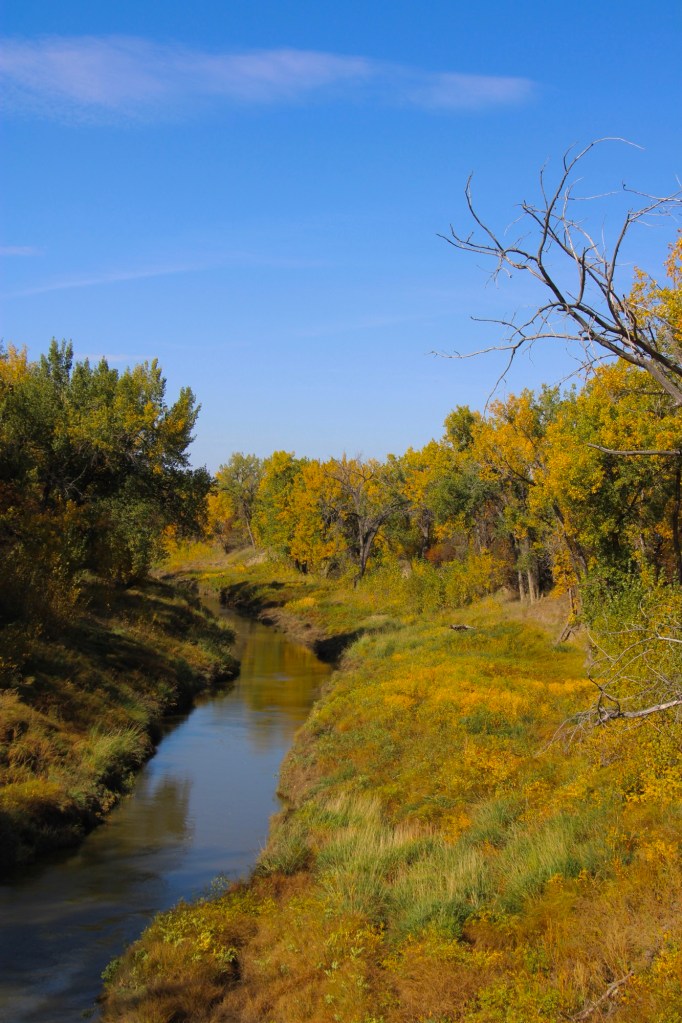
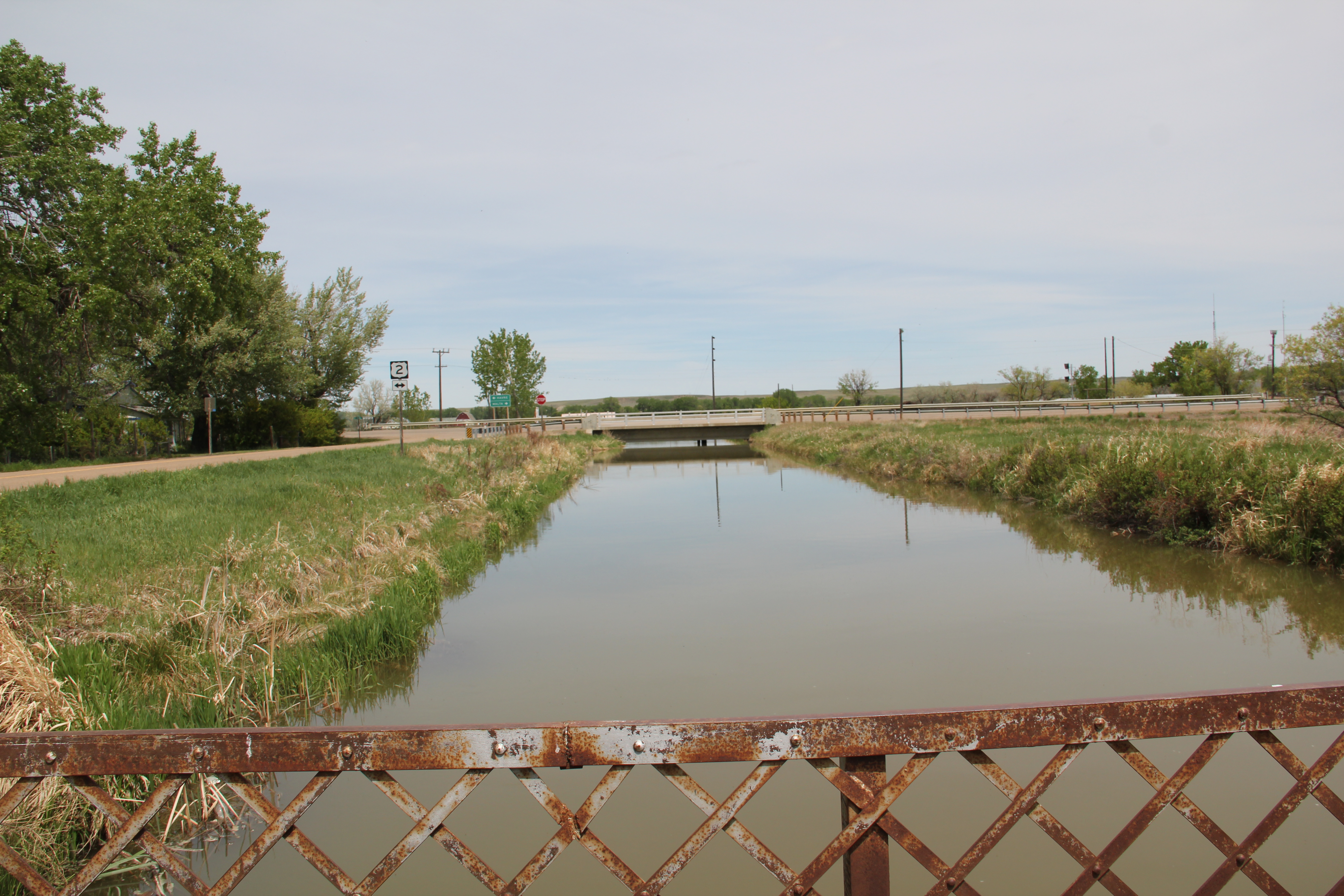
Milk River crossing on Montana 246

Vandalia has history as a late 19th century trading post at the crossing of the Milk River. Then it became one of the early milk River ranches. Once the Great Northern Railroad built its initial route westward the tracks came this way, following the river.
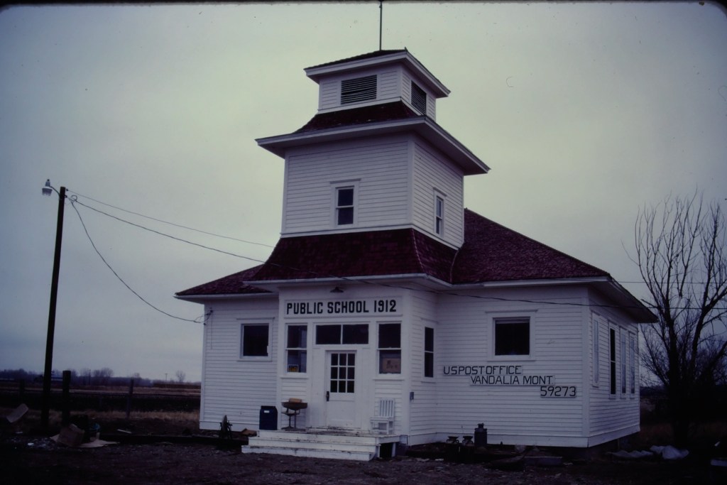
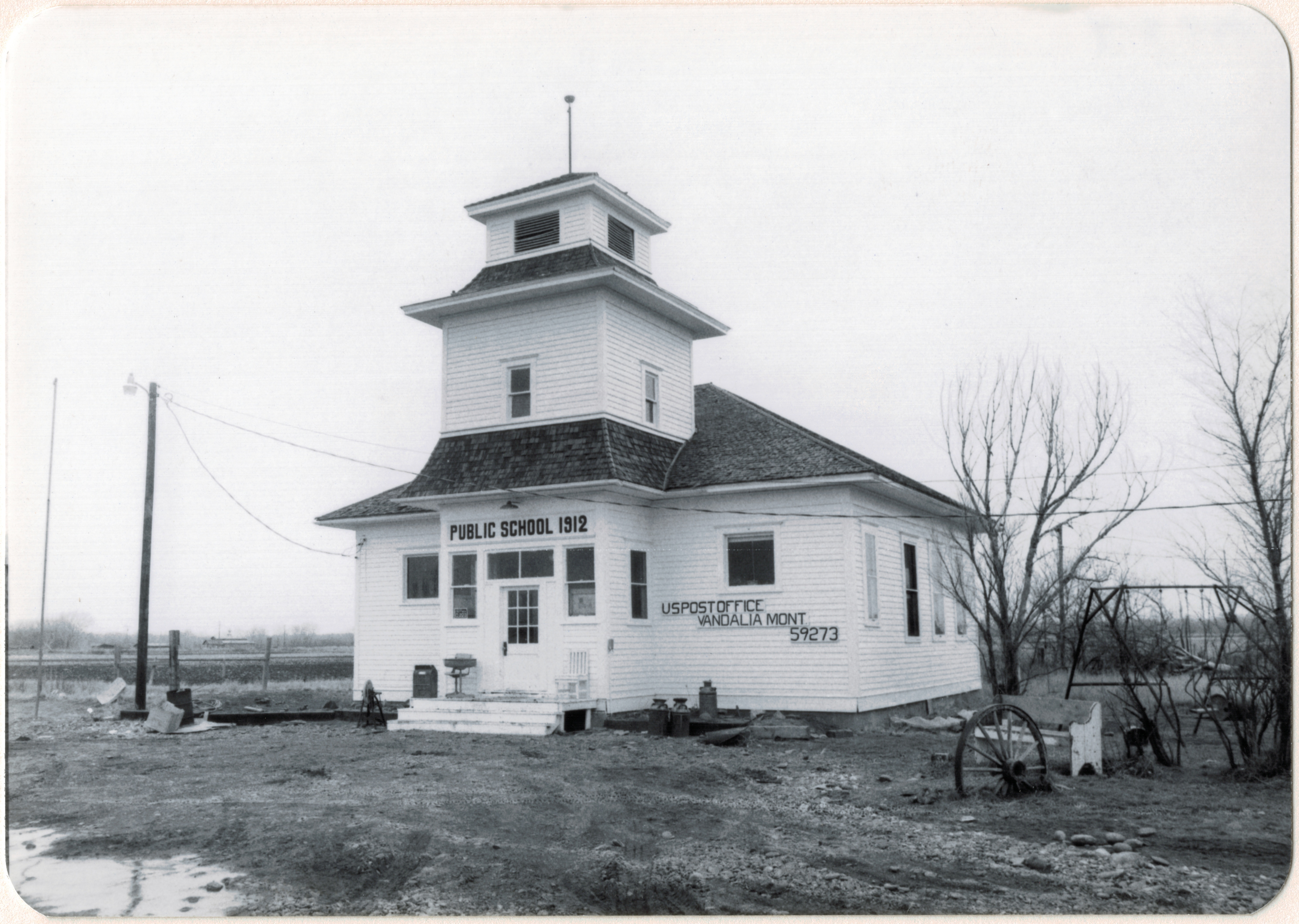
Vandalia school and post office in 1984

The tracks brought the first generation of homesteaders who built the white-painted frame school in 1912. The school later became the post office, and served that role when I first visited Vandalia in 1984.
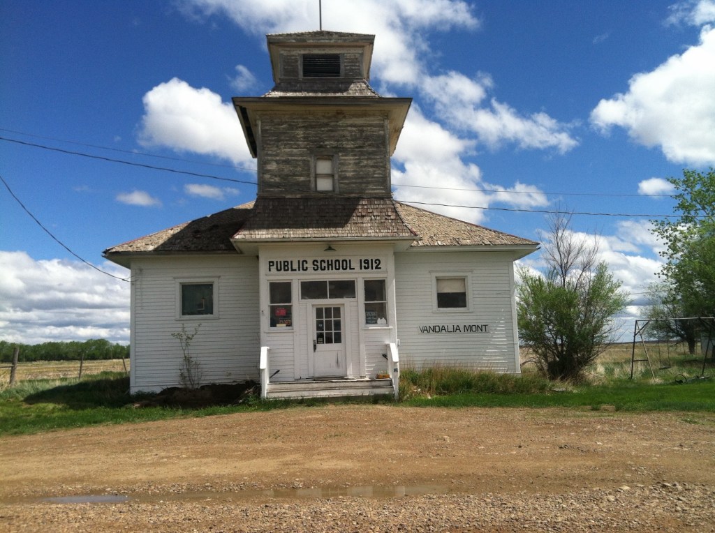
Vandalia school in 2013

When I next visited almost 30 years later, the post office had closed and the school was in rough condition. Imagine my delight when I next stopped in the fall of 2025. The school was taking on new life. The roof had been prepared and replaced, and prep work was underway to give it a fresh coat of paint.
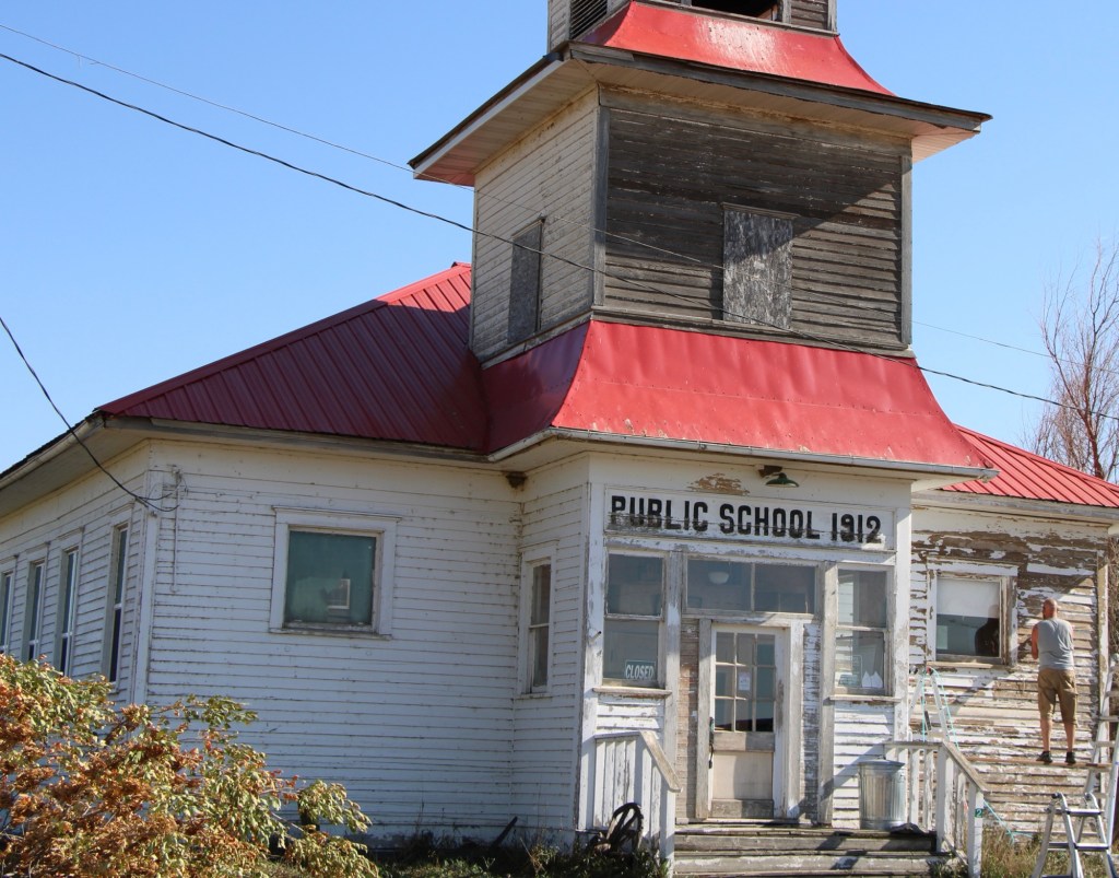
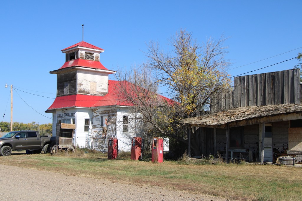
Vandalia school in 2025
Vandalia in 2025

The story was not so bright for the old bar and store that was next door. The old gas pumps were still there but the porch roof was sagging and it looked forlorn.
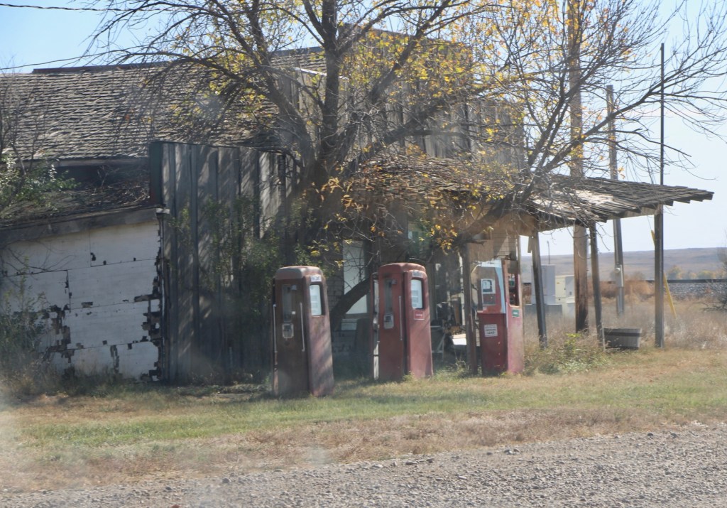
Vandalia store in 2025
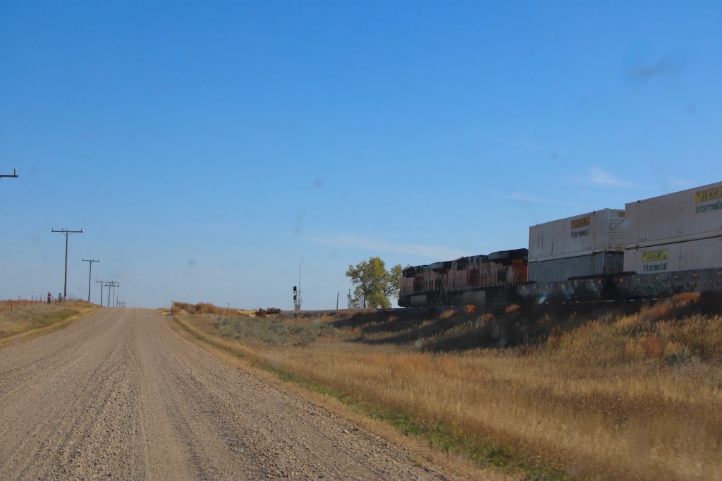
Original route US Highway 2 heading east toward Tampico

The drive remains fun, especially the graveled original route of US Highway 2 with the occasional Burlington Santa Fe freight train roaring by. Imagine driving cross country on this route when large sections of it remained unpaved.
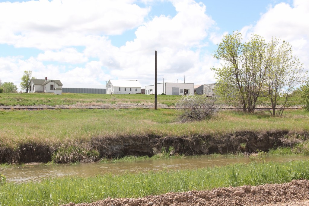
Tampico in 2013

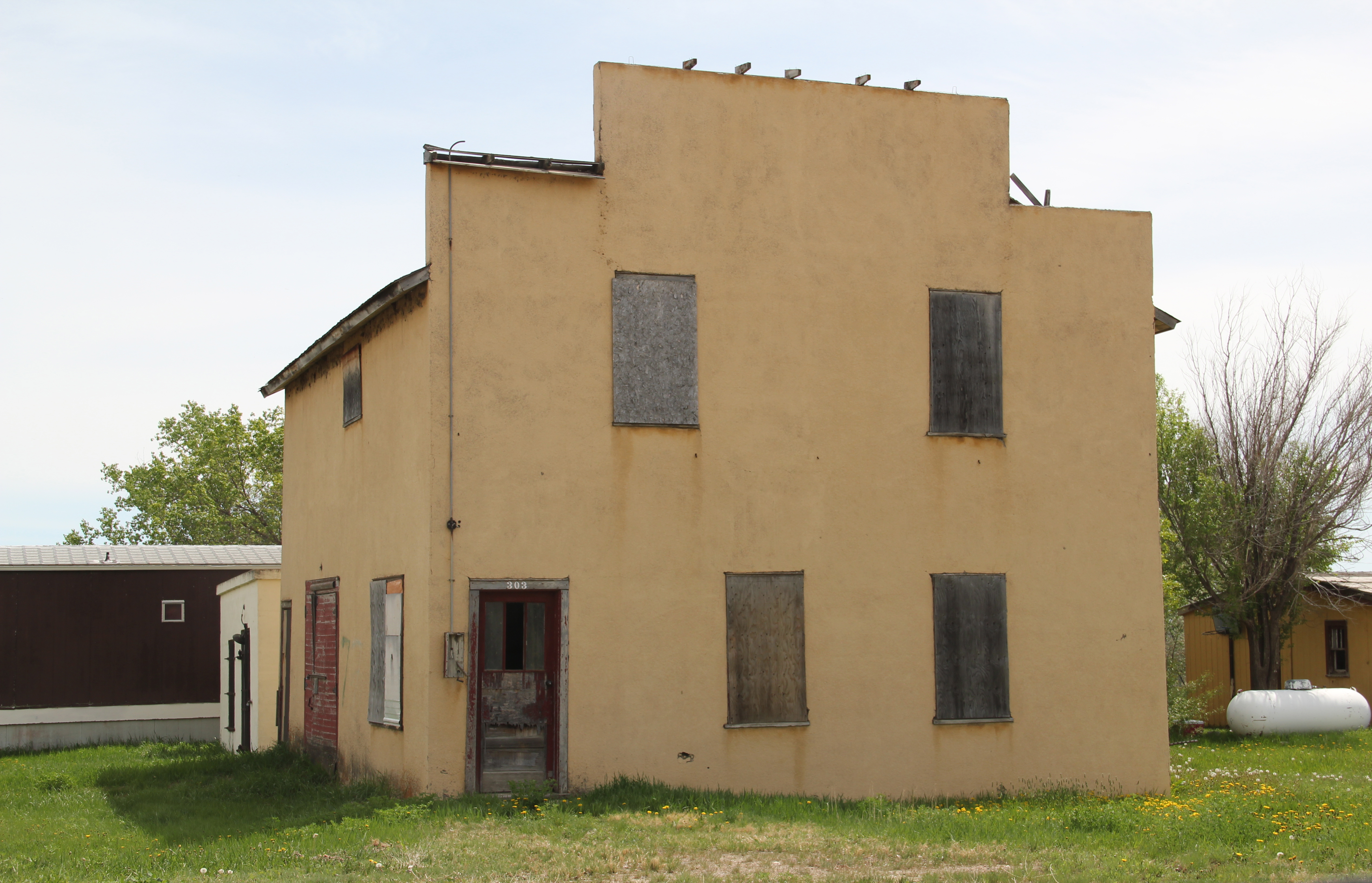
The next town to the east is Tampico, established around 1908. In 2013 the town was tiny but showed some life. Twelve years later, the abandonment was striking.
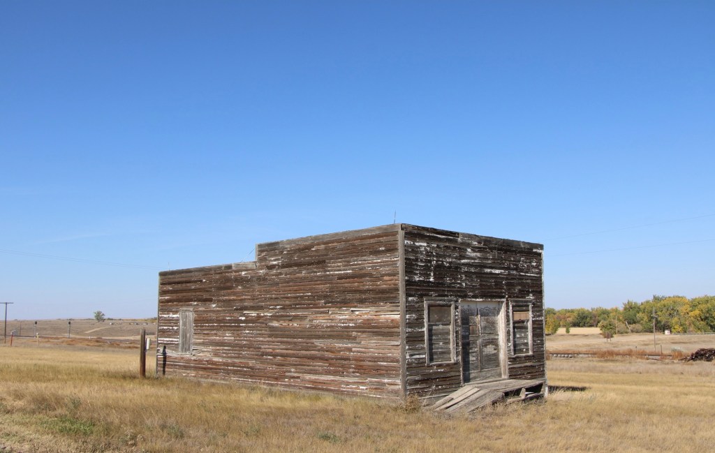
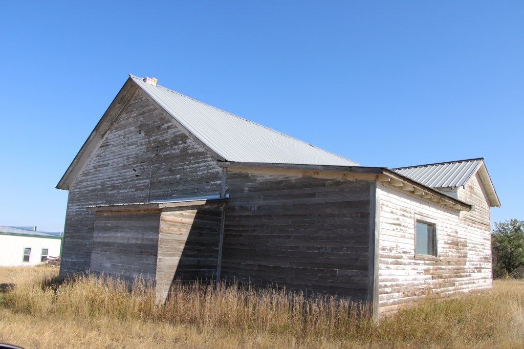
Tampico in 2025
Tampico in 2025
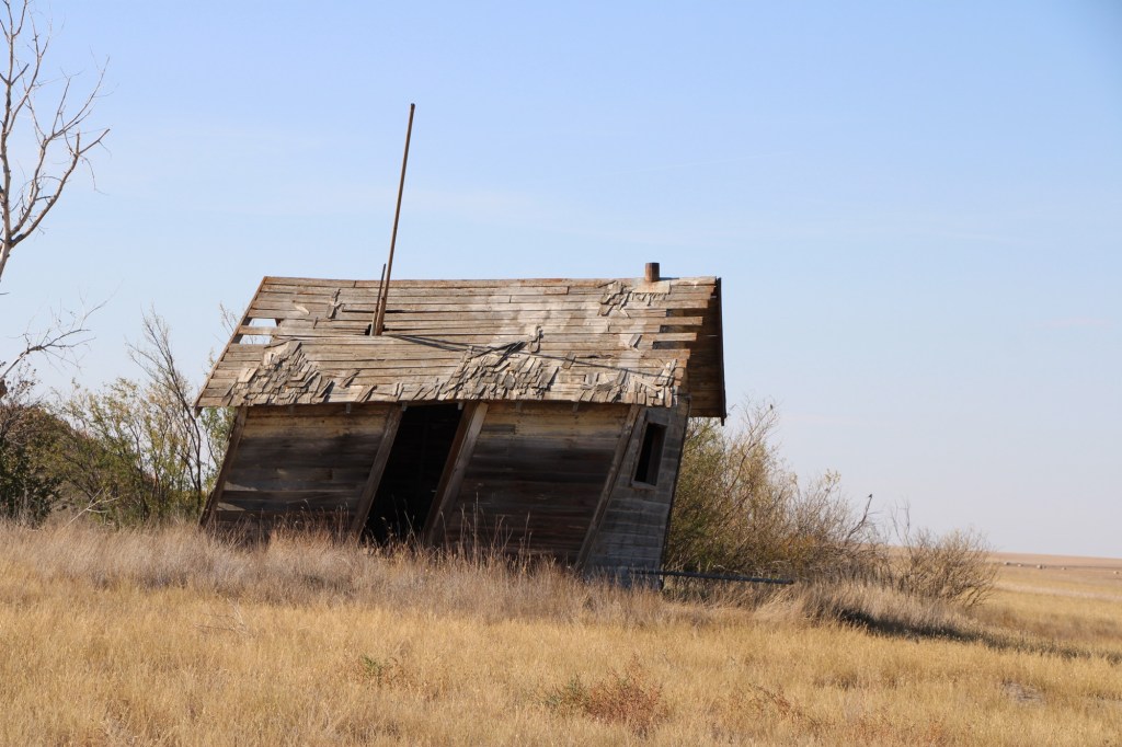
Leaning into oblivion, Tampico 2025

Most early 20th century railroad towns across the northern plains struggle one hundred years later but those off the major highways, like Vandalia and Tampico, could easily disappear.
Milk River Project Towns: Dodson, Vandalia, and Tampico Jo

Image

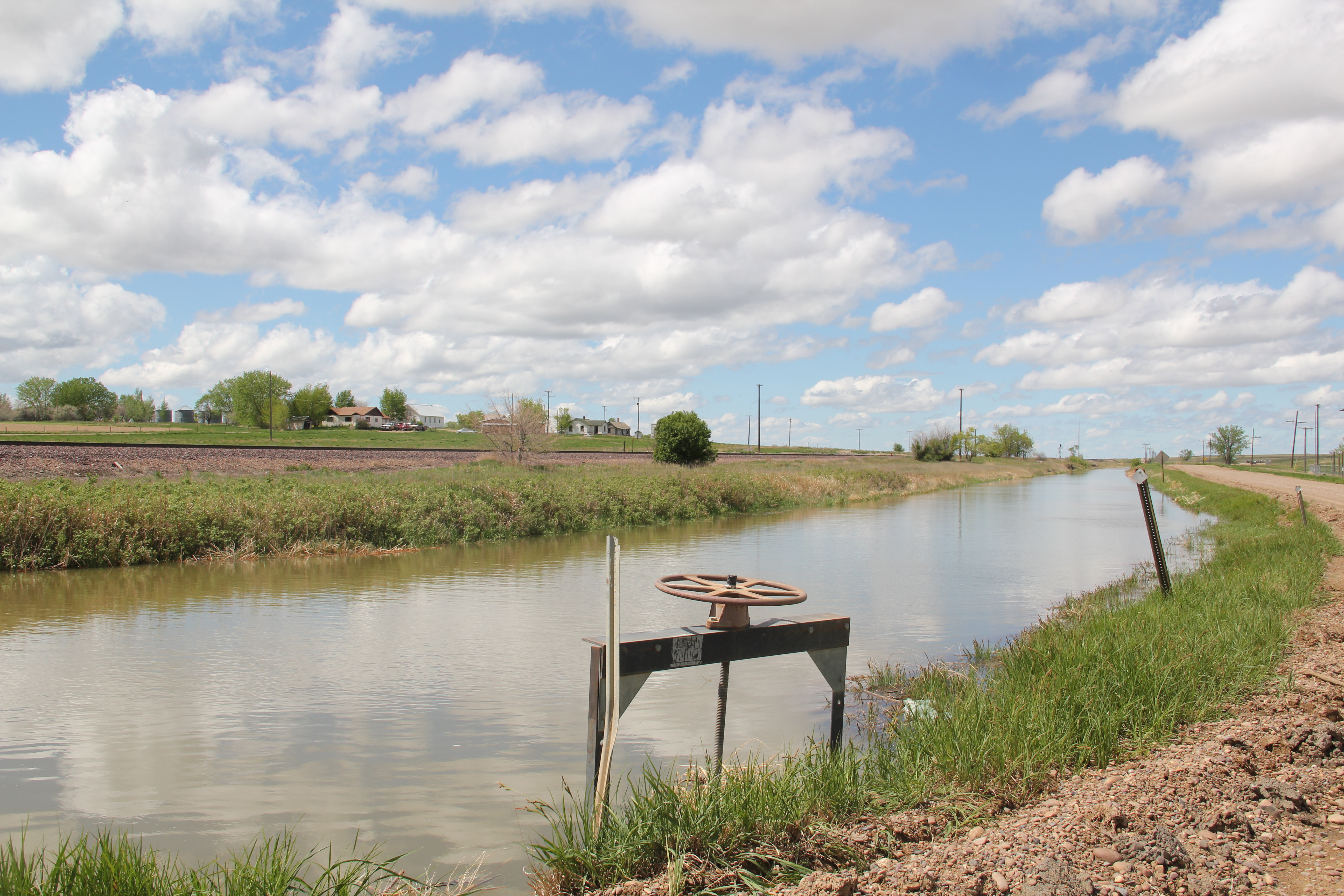
The U.S. Bureau of Reclamation’s Milk River Project is one of its largest and most significant in Montana; it was one of the agency’s first five projects carried out under the Newlands Reclamation Act of 1902. I have already briefly mentioned the project in regards to Fresno Dam outside of Havre. Now let’s consider the project and its impact on three much smaller villages: Dodson in Phillips County and Vandalia and Tampico in Valley County. All three were once major stops along U.S. 2, but a later re-routing of the highway bypassed Tampico and Vandalia, and not much is left decades later but the canals and ditches of this massive irrigation system.

Image 

Original U.S. 2 route between Vandalia and Tampico (to right is Great Northern roadbed)

The Bureau launched the Milk River Project in the first decade of the 20th century but due to disputes over who controlled the water (the Winters case) along with international negotiations with Canada since the Milk River basin passes through both nations, serious construction did not begin until the century’s second decade. The project area encompassed 120,000 acres, with 219 miles of canals, and hundreds more of secondary laterals and ditches. The water begins at Lake Shelburne at Glacier National Park, flows through the St. Mary Canal to the Milk River where then water is stored at Fresno Reservoir outside of Havre and then at the Nelson Reservoir between Malta and Saco.

Image

Dodson developed as a major base for the Bureau. Nearby here was a major diversion dam, and bureau officials established a regional headquarters at Dodson in the 1910s.

Image

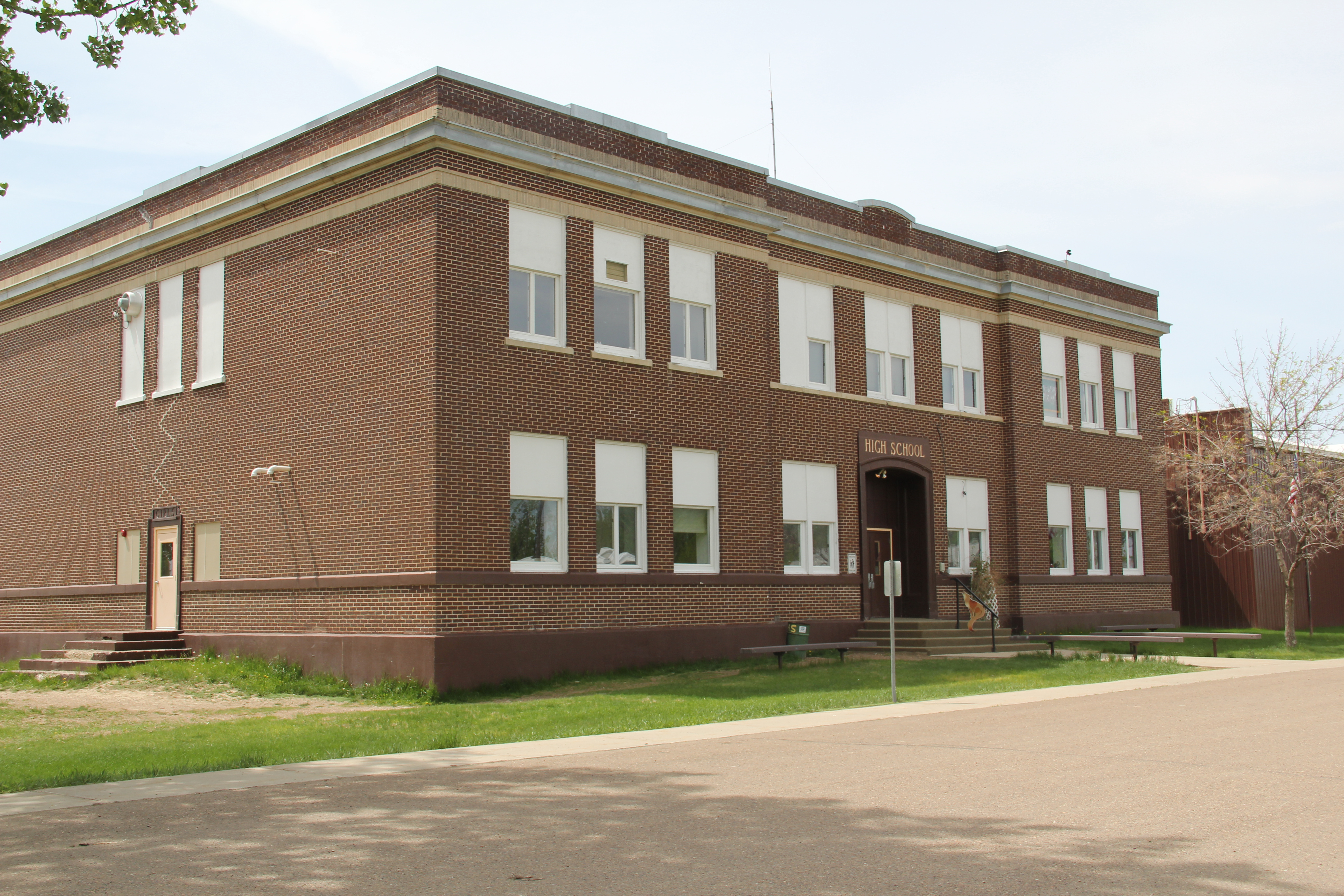
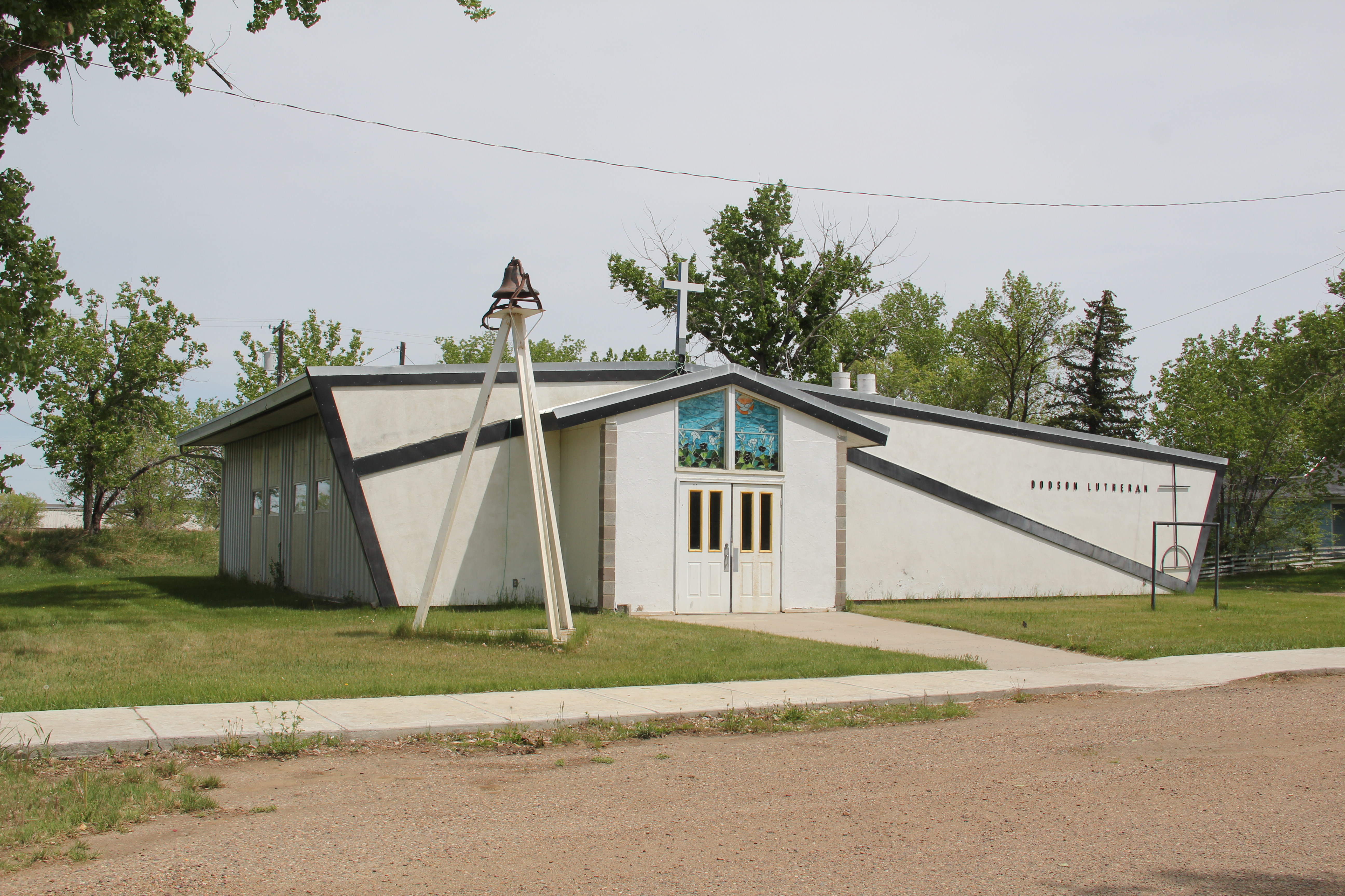
This impact of the federal agency is still reflected in the impressive two-story brick high school, the magnificent Phillips County Fairgrounds (discussed earlier in this blog), and the fact that such a small town has impressed contemporary styled churches from the 1950s. I was very impressed with the quality of the town’s built environment, considering its size, when I visited here in 1984.

Image Image


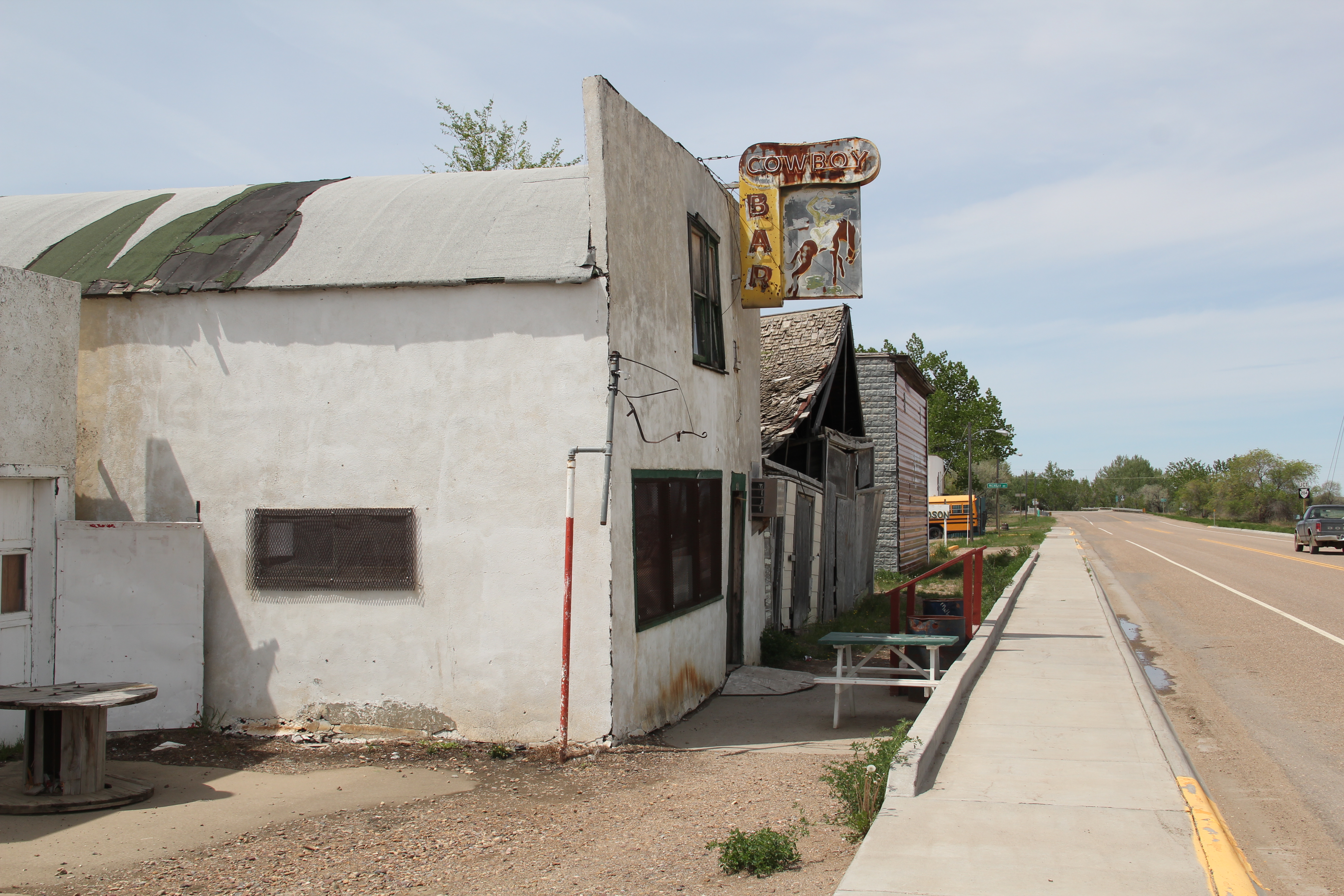
But in the mid-1990s the Bureau left Dodson for a more centralized regional office in Billings, hundreds of miles to the south. Dobson’s emptiness was shocking in 2013–even the iconic (and once very good) Cowboy Bar had shuttered its doors.

Image  Image

Dodson now is entering the same fate suffered by its neighbors to the east, Vandalia and Tampico. Although trains still rumble by on the former Great Northern route, these two towns lost their highway connection when U.S. was re-routed to the north. Ever since they are slowly ebbing away. Vandalia was another location of a Bureau diversion dam on the river along with a historic steel bridge from 1911. The dam remains but the bridge is gone.

Image Image

In 1984 I loved the historic Vandalia school (1912) and had a good conversation with folks there–the school was closed but now it was a post office and still very much a community center, competing with the bar next door. Now both businesses are closed.

Image Image

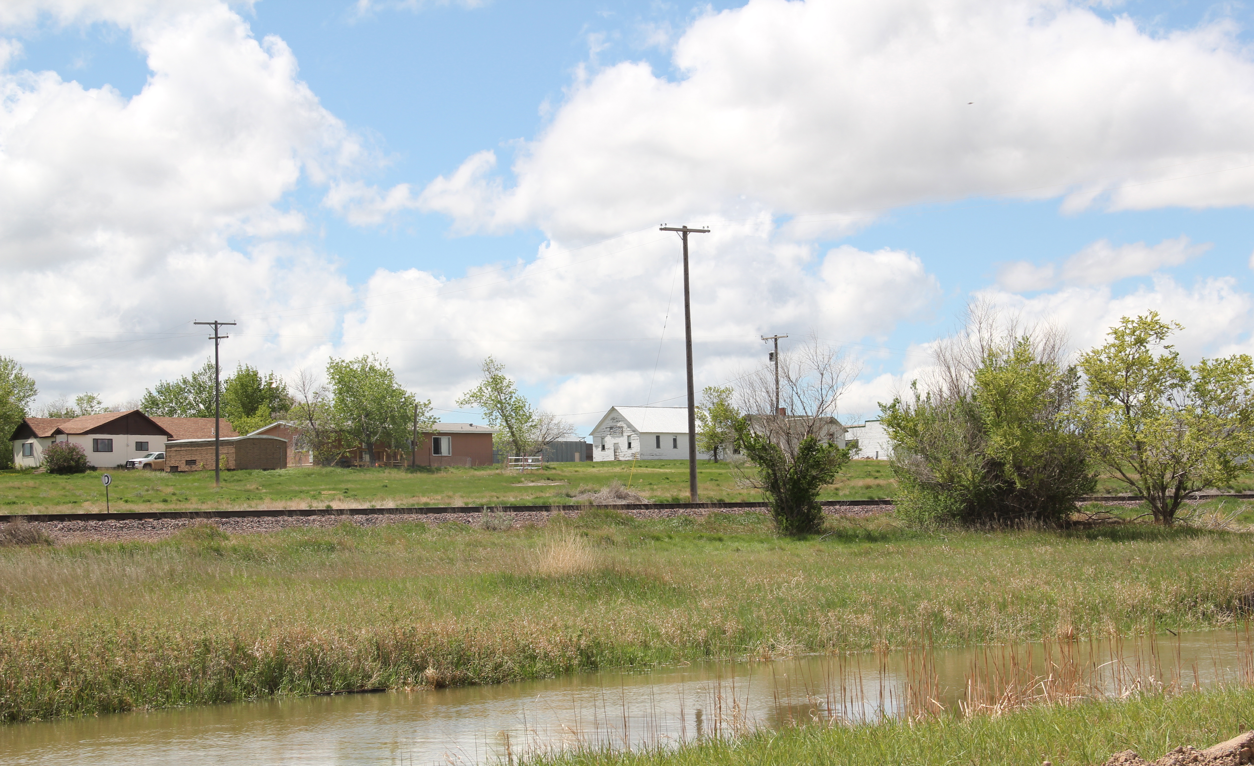
Tampico lays just south of both a major canal and the railroad tracks. A scattering of buildings marks its existence.

Image

The water still flows through the Milk River project but the towns it once nurtured are becoming fainter with each passing year. But it is not without promise:  later we will visit the Nelson Reservoir and what is happening at Sleeping Buffalo Hot Springs.  Next is Malta, the seat of Phillips County.