
Standard histories tell you that Cut Bank, the seat of Glacier County, dates to 1891. But significant numbers of permanent settlers did not arrive until the first years of the 20th century, following a major investment by the Great Northern Railroad to build a huge steel bridge and railroad offices, shops, and a roundhouse. The Fort Benton River Press on February 12, 1901, reported that “Cut Bank is rapidly assuming a metropolitan appearance.”
The initial railroad boom soon slowed until the homesteader movement brought new growth. In 1911 town officials agreed to discuss the creation of a permanent town cemetery with state officials. Between 1911 and 1914 citizens formed the Crown Hill Cemetery Association and the first documented burials in the local newspaper took place in 1914.
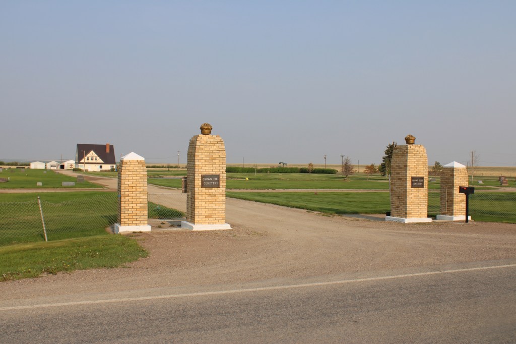
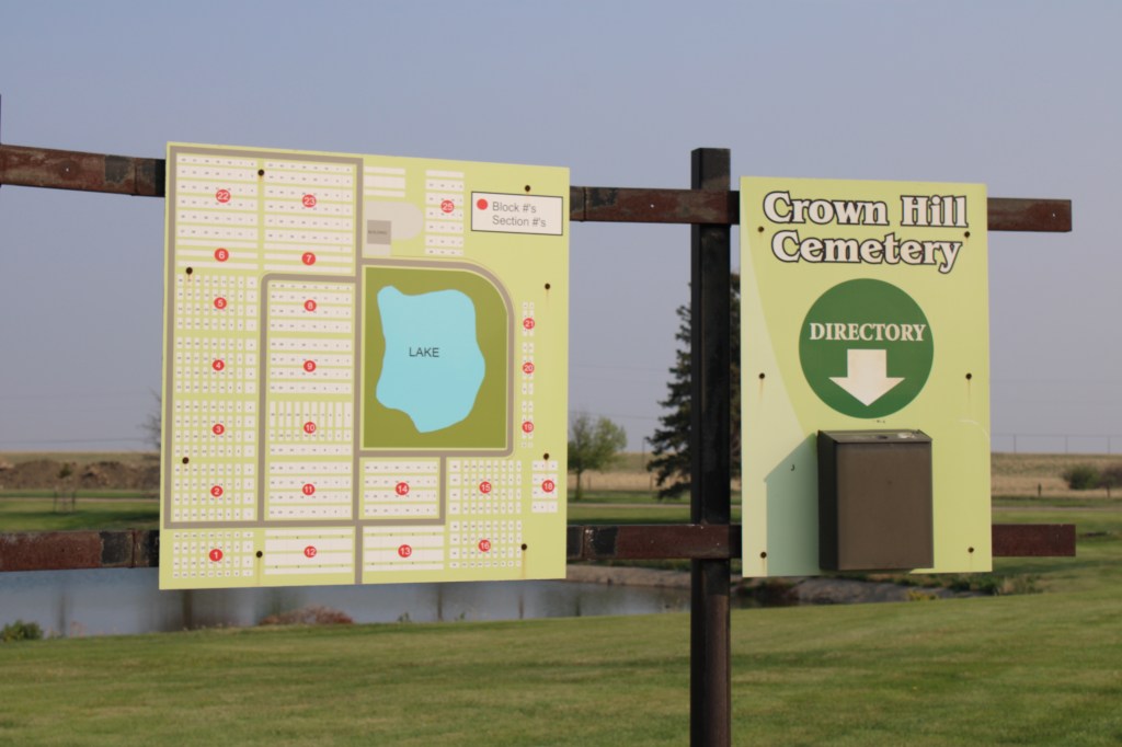
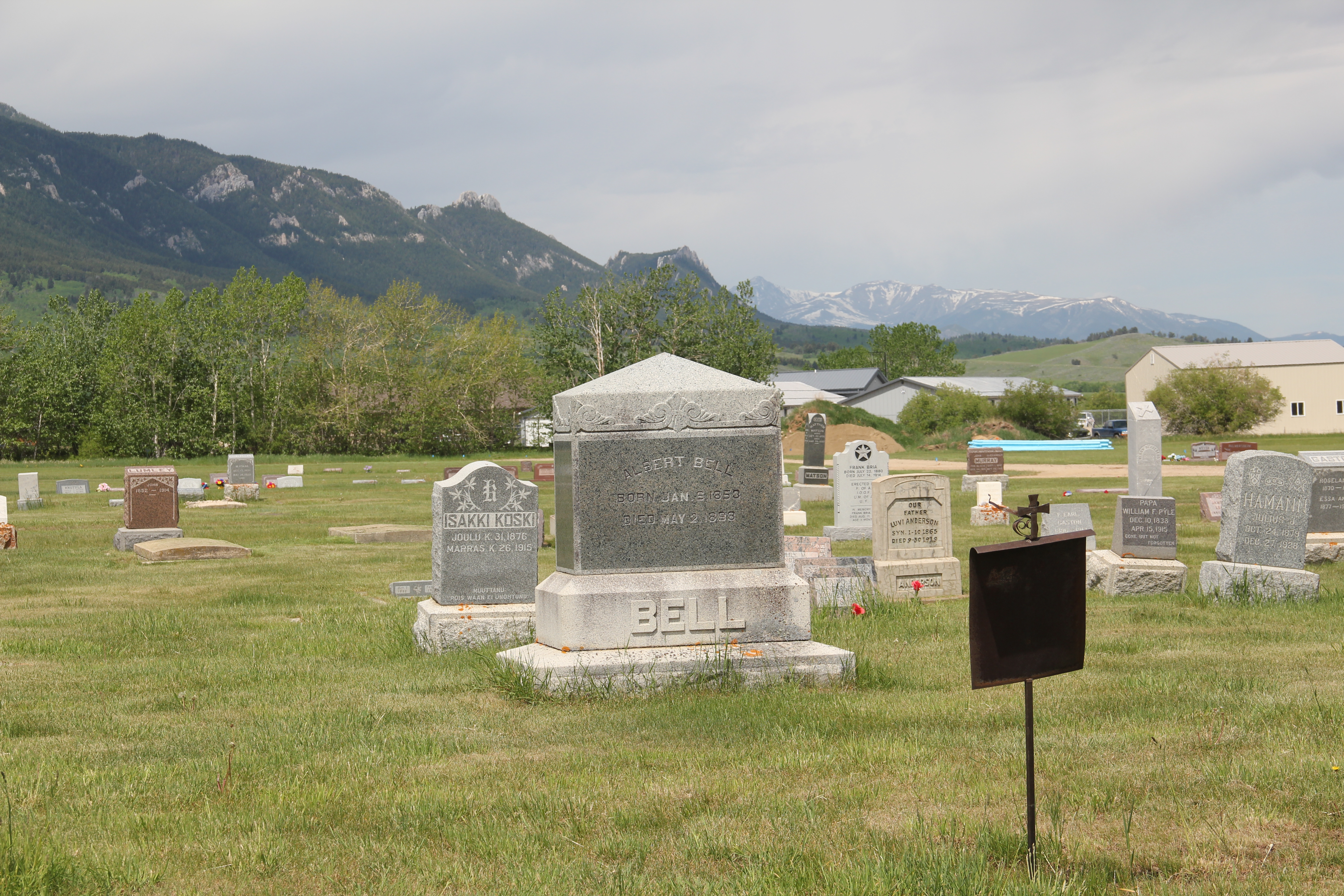
Located north of town the cemetery is on a slight rise and has an impressive view of Cut Bank to the South. A small lake is the focus of the cemetery plan.


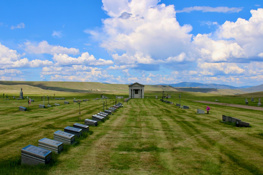
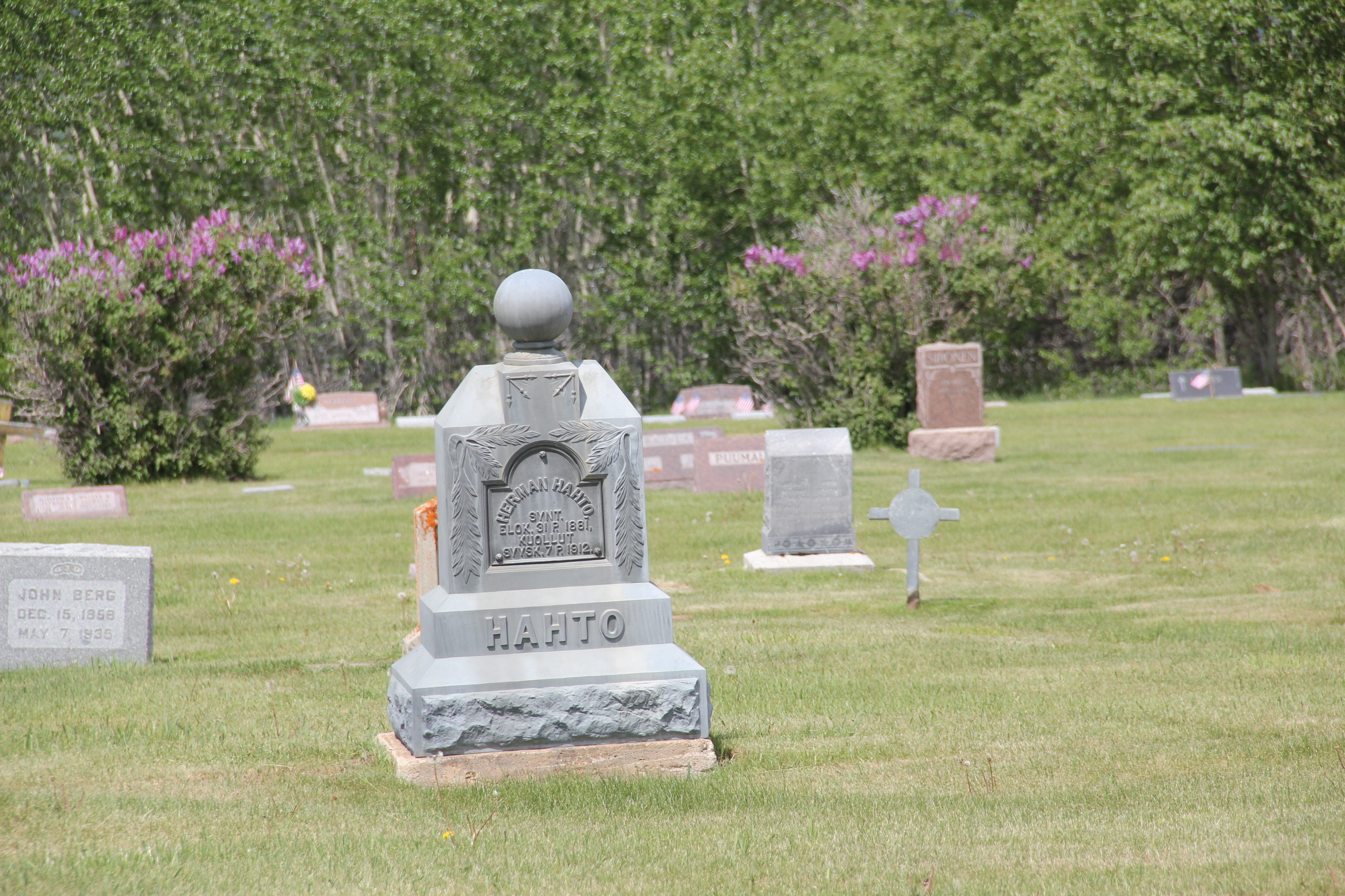
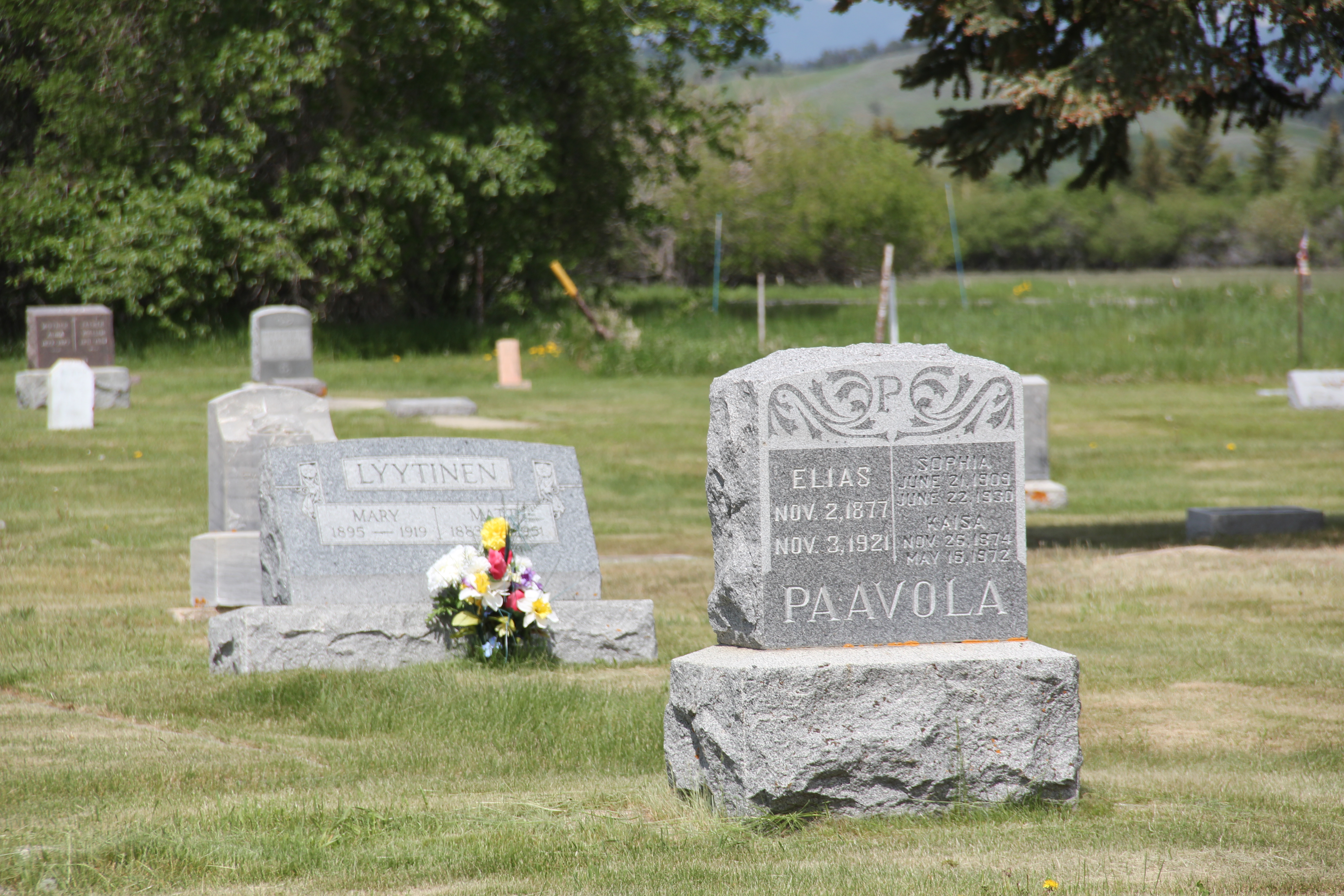
Otherwise the cemetery contains long rows in a rectangular manner and there are few huge grave markers, instead many dignified and subtly designed markers cover the grounds.
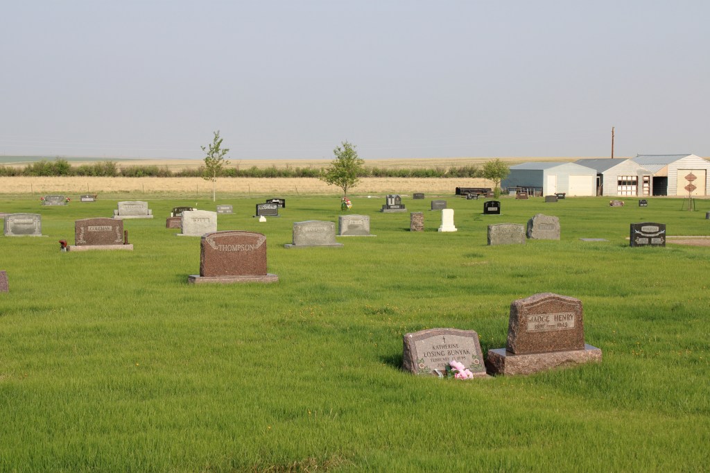

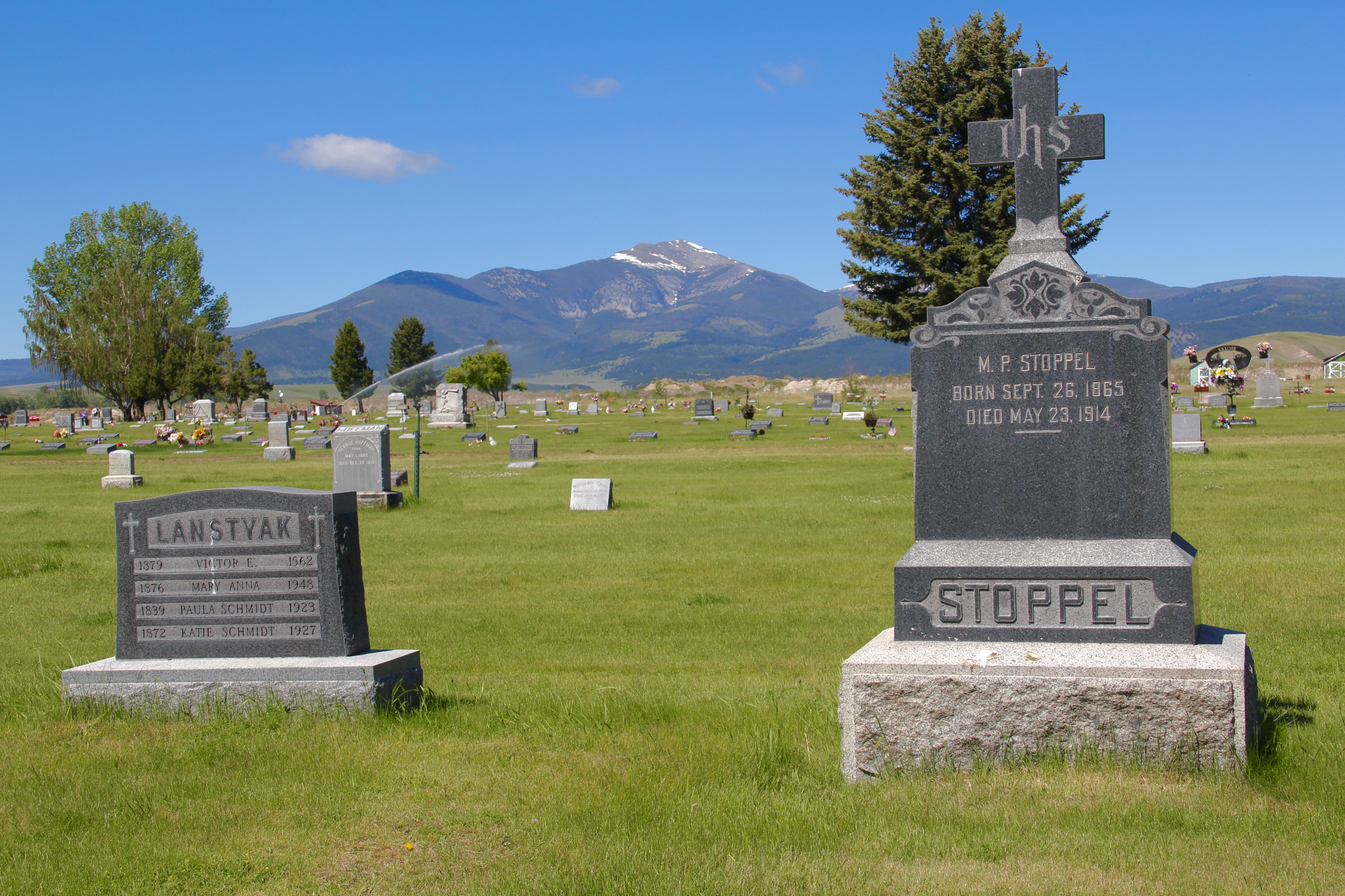
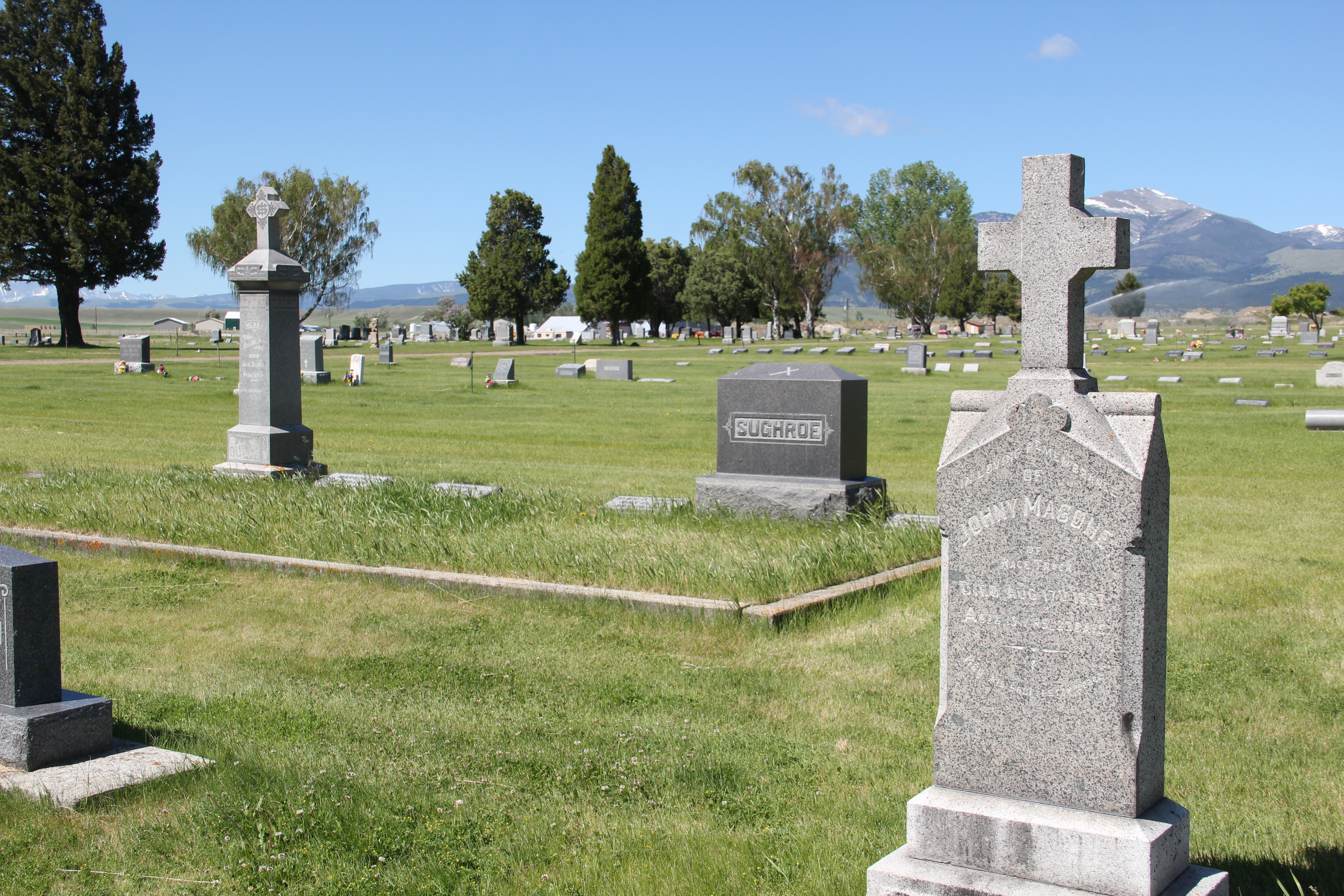
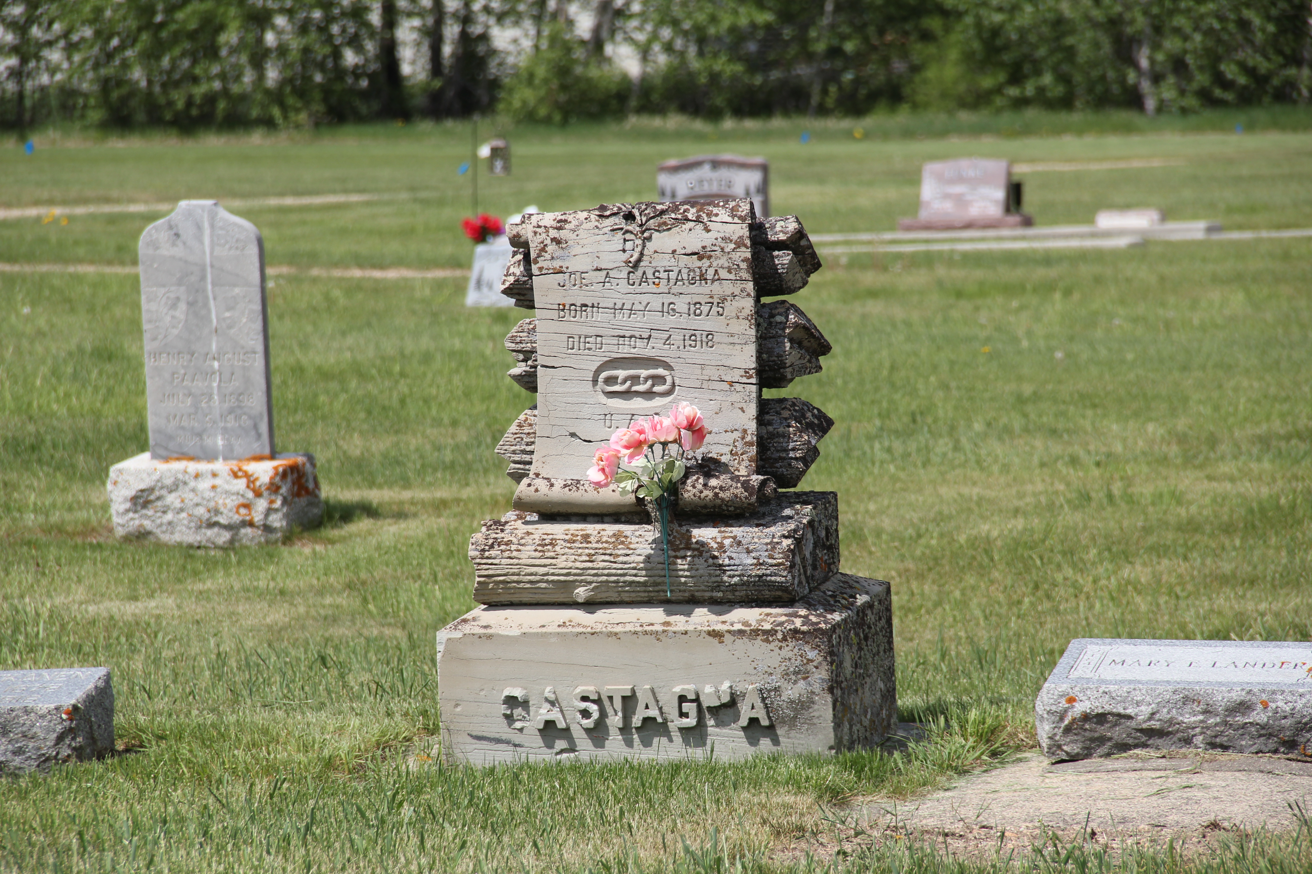
There are several interesting markers and many note a fraternal lodge association.


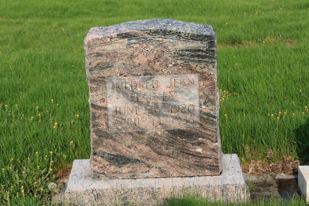
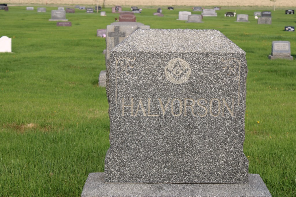
The Halvorson marker dates to be death of Mrs. Harry Halvorson who died in 1924. At that time her funeral was the largest ever held in Cut Bank. The Midland Empire of April 22, 1924 reported that 650 attended the funeral and that 77 cars went from the town Masonic Hall to the cemetery. A member of the Rebekah lodges in both Cut Bank and Shelby, Halvorson’s funeral attracted other lodge members from Shelby, Conrad, Valier and Browning. Her husband was the senior member of the Halvorson mercantile company, which started in 1901.
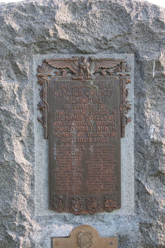
Another important marker is the veterans memorial from World War II. Cut Bank played a significant role as a satellite air field for the Great Falls Army Air Base. In 1942-43 pilots trained here in flying the B-17 Flying Fortresses. In 1948 the army conveyed the base to the town for civilian use.

Perhaps an unattended consequence of the military air base is that winter temperatures at Cut Bank was regularly available to national media, which played up the mage of Cut Bank as the coldest place in the lower 48 states. Cut Bank embraced the image, as this bit of roadside sculpture below attests. It stands at the eastern entrance into town on US Highway 2.

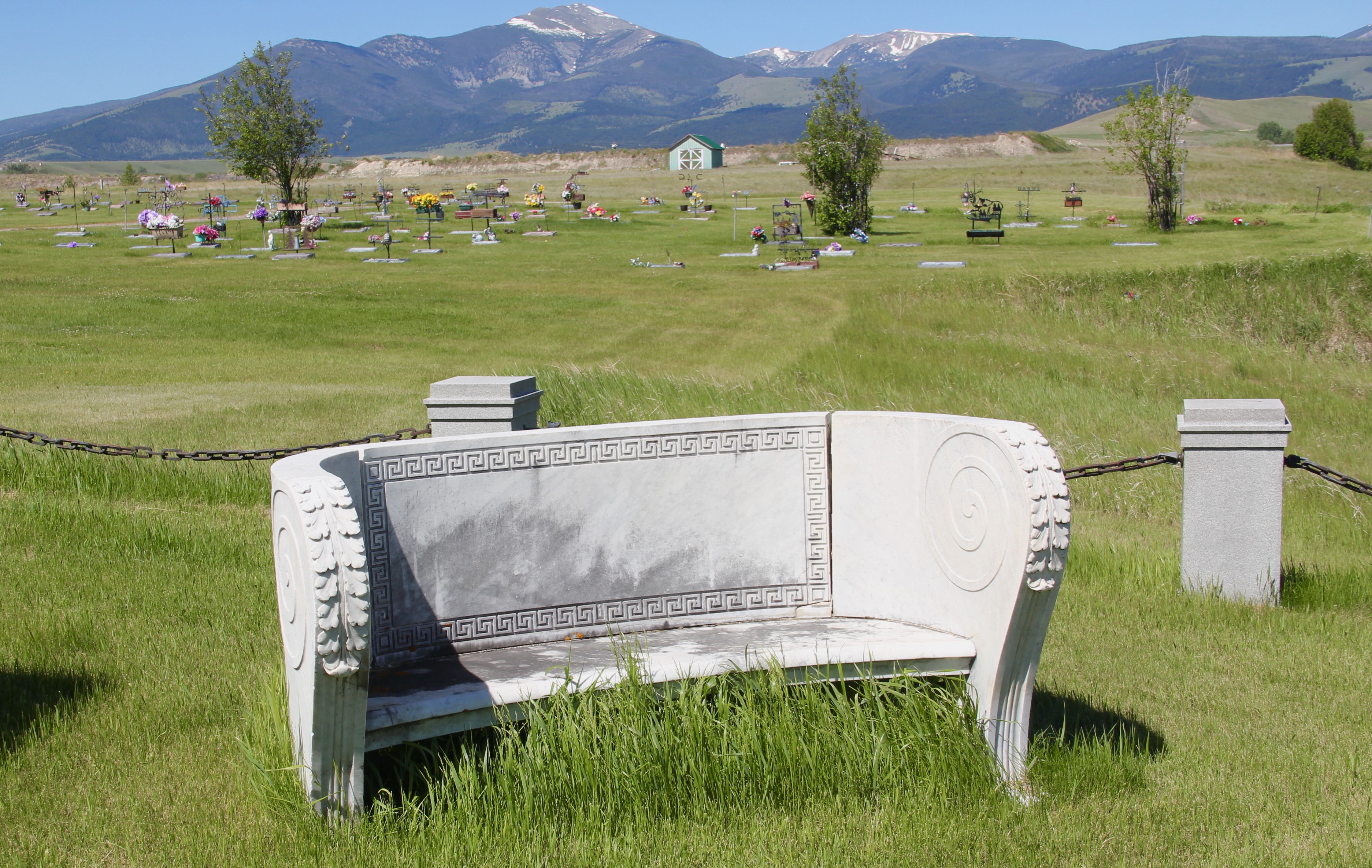
Crown Hill Cemetery is one of the oldest properties in Cut Bank open to the public. The cemetery is well maintained, well manicured and a testament to the respect and dignity local residents give to their past.




















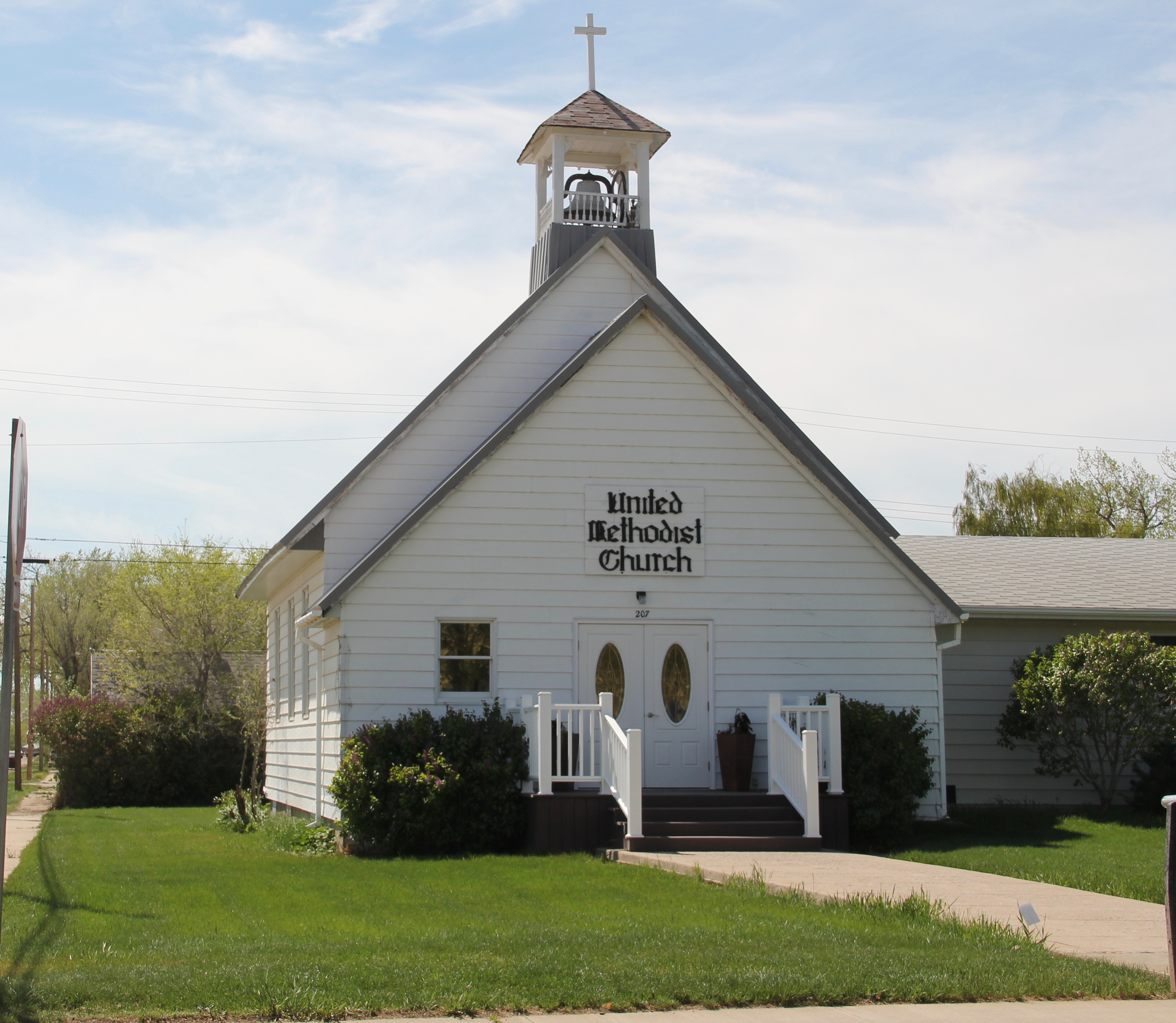
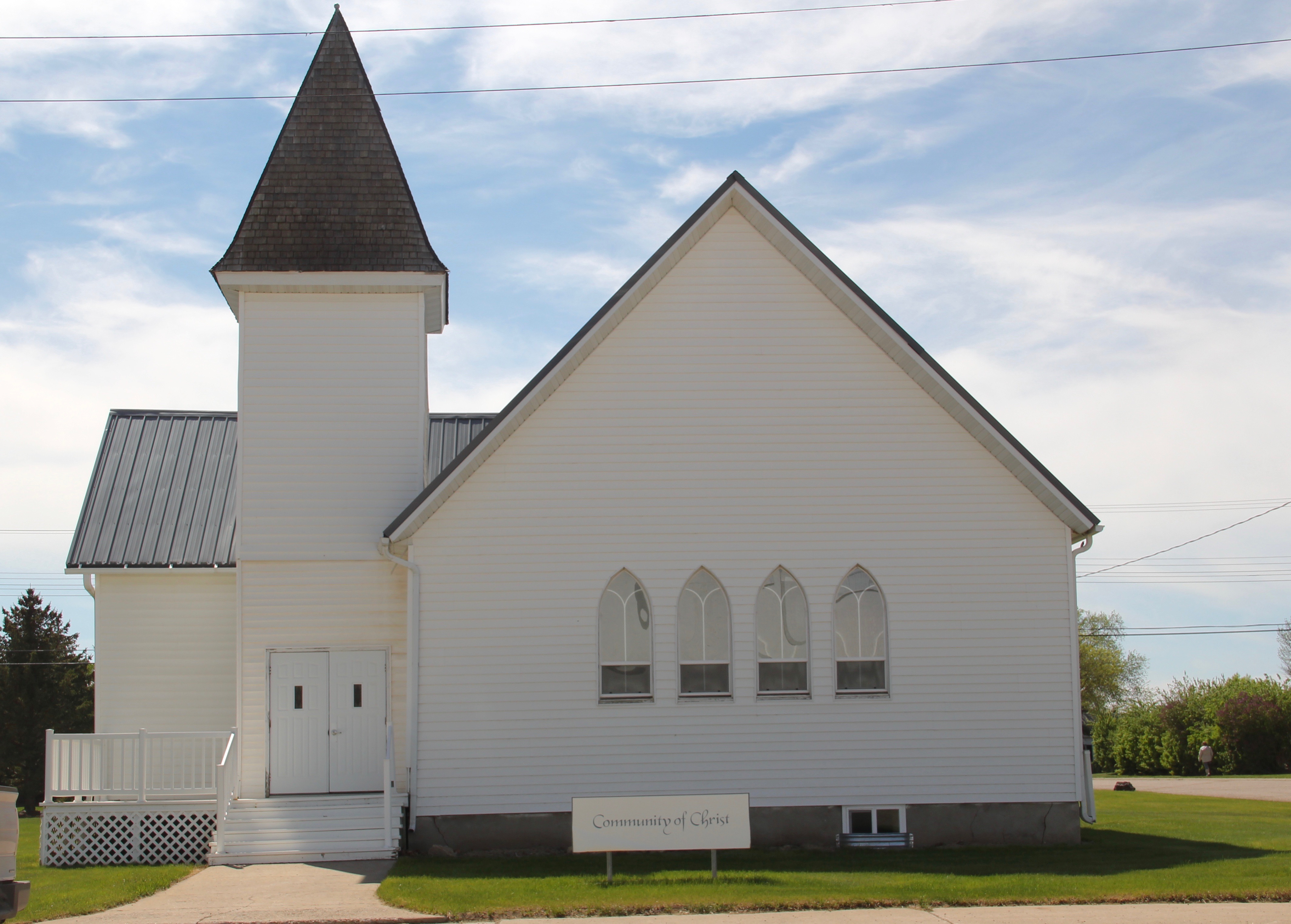
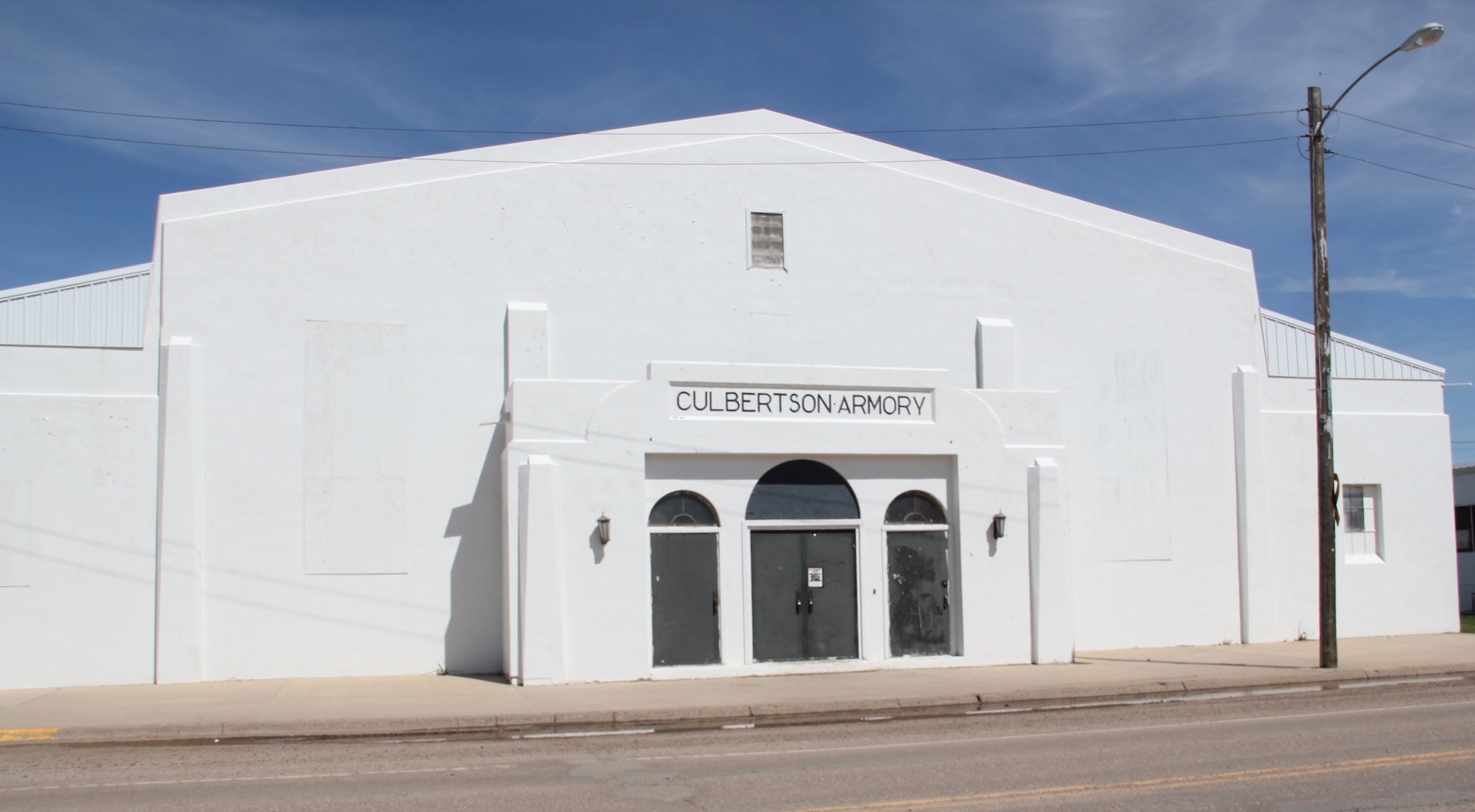
 modern style for many Catholic churches in eastern Montana. The Culbertson church is a good example of that pattern. Another church that belongs to the modern design era of the 20th century is Trinity Lutheran Church, especially as this distinguished building expanded over the decades to meet its congregation’s needs.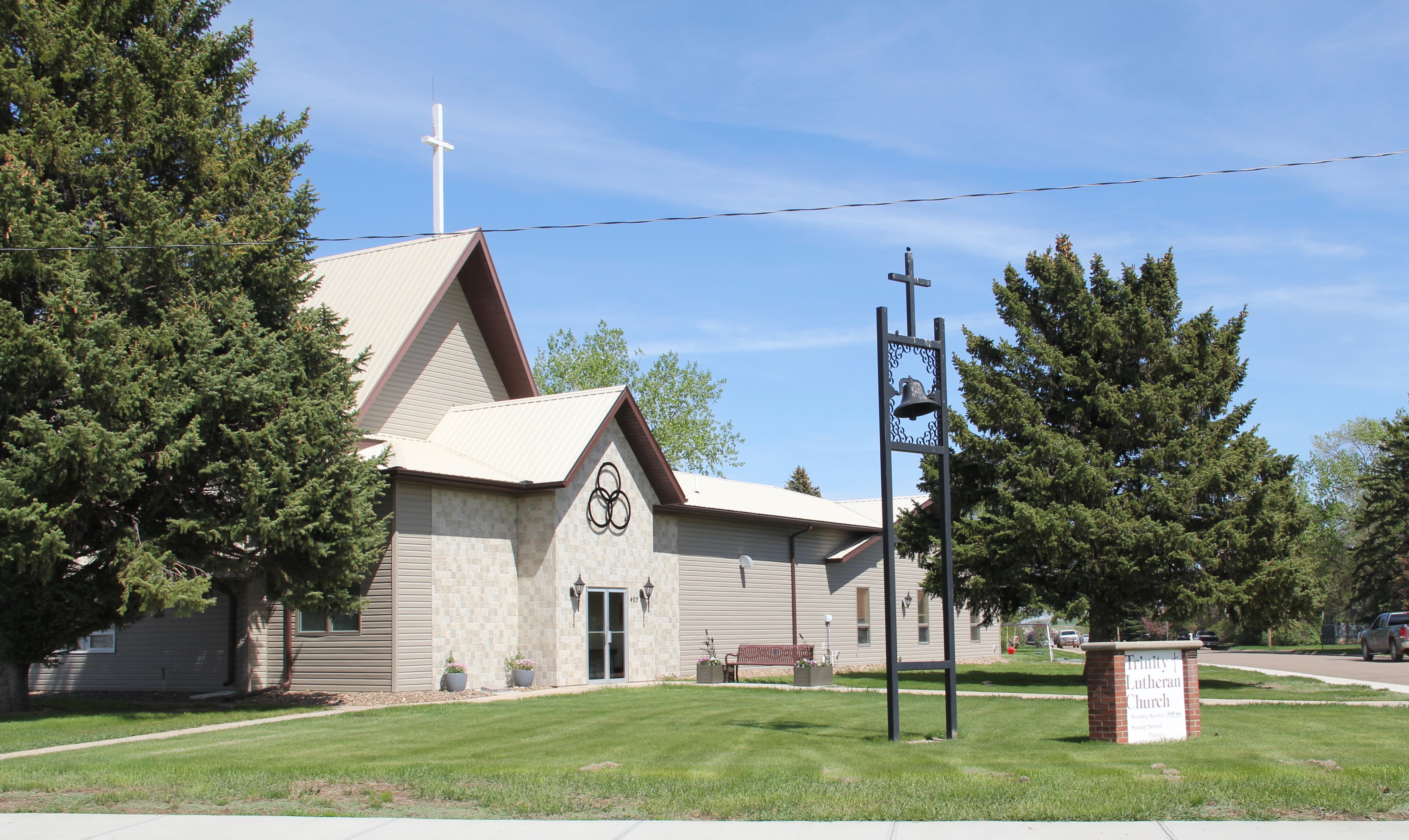




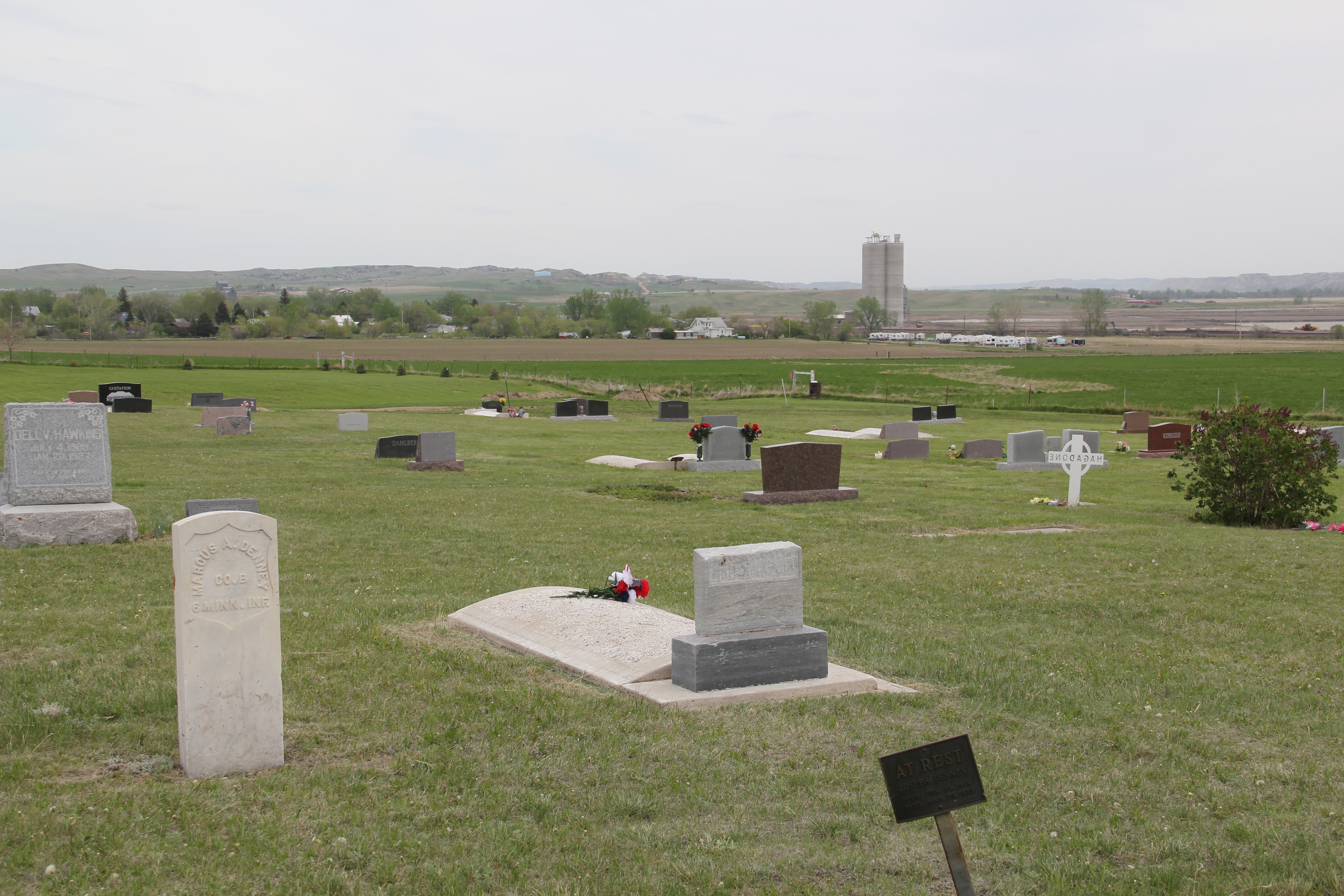


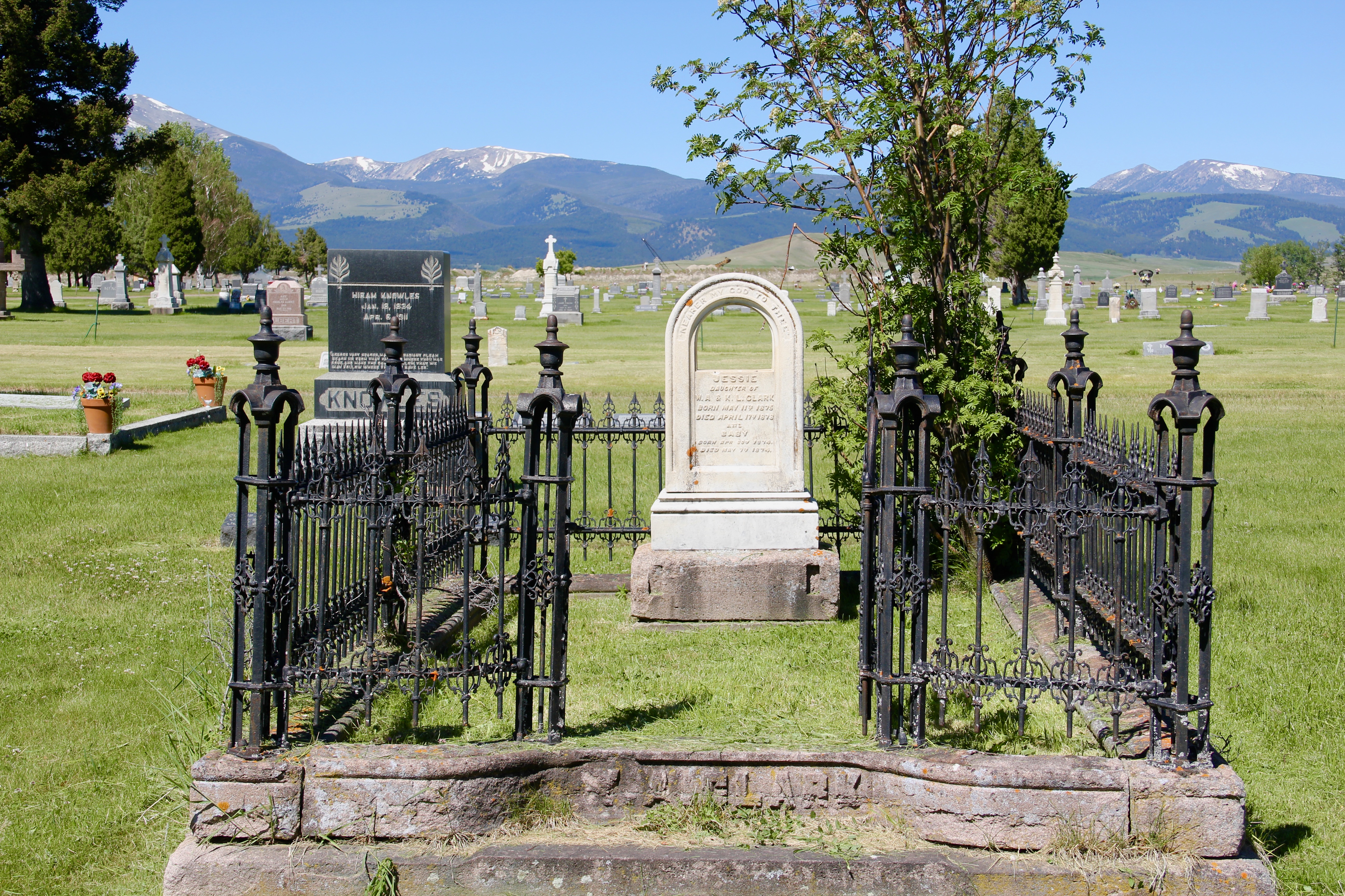
 But my visit on Memorial Day 2018 left me with the feeling that the cemetery is an under-appreciated historic property. There are no signs of true neglect, but it was so quiet on Memorial Day that I did think the place had become an almost forgotten historic asset–an afterthought in today’s busy world. I hope not–because this cemetery has many jewels to explore and appreciate. Perhaps the most striking–certainly most rare to see–are the cast iron baskets–or bassinets, see below, that surround two children’s graves.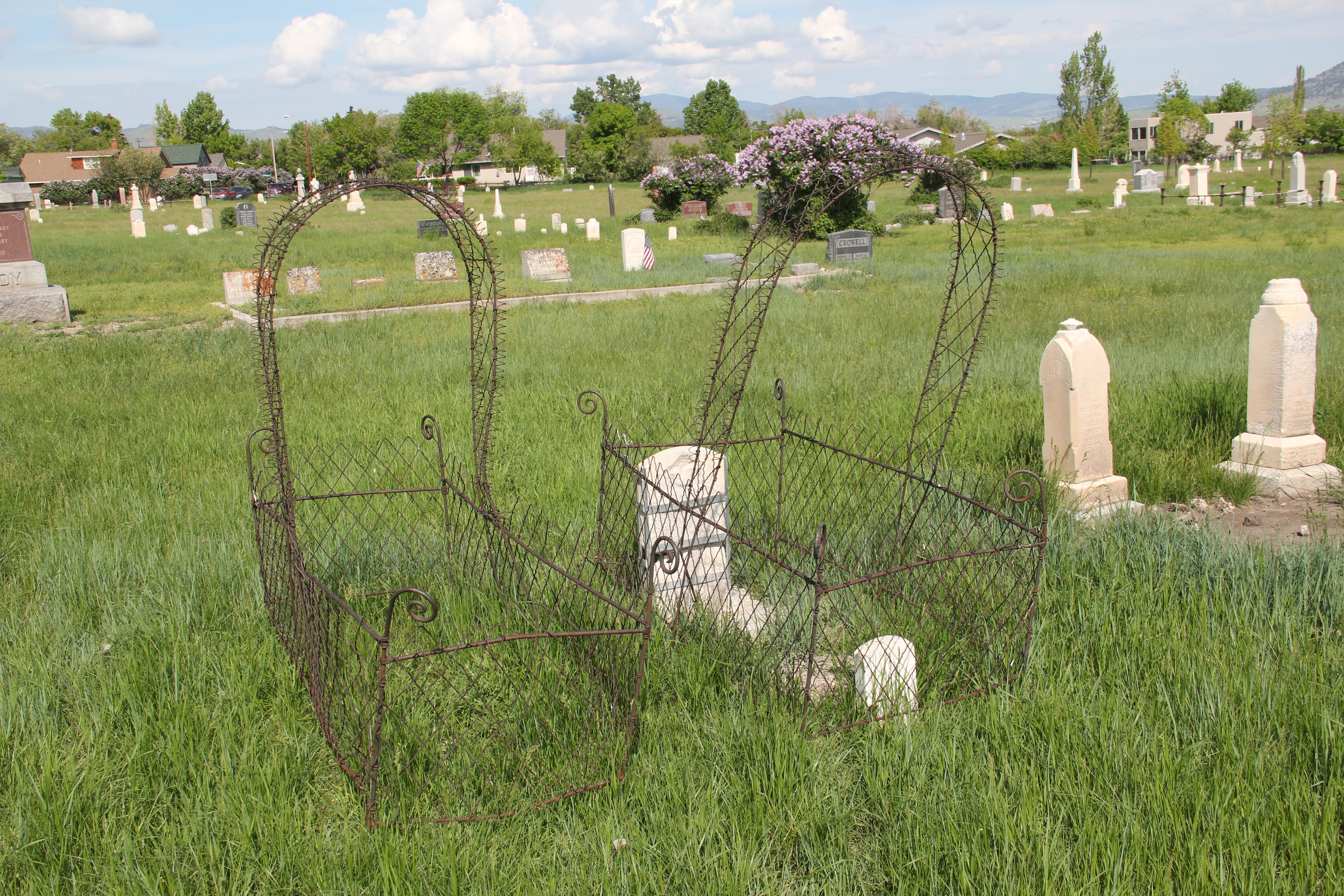
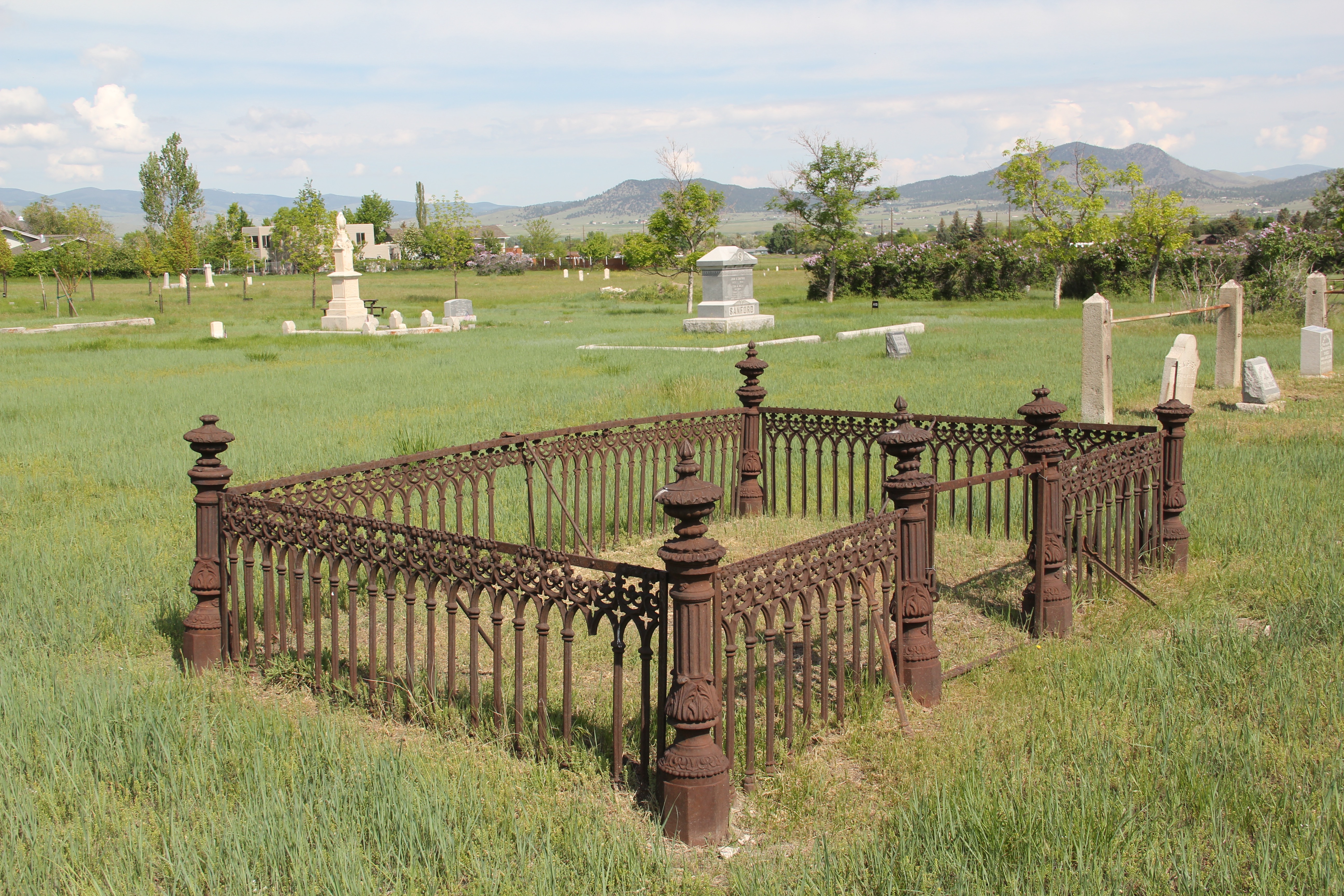
 plots–certainly the ironwork was a status symbol in the late 19th century and there is no one statement. Families adorned their graves with fences much as they surrounded their houses in the nearby neighborhoods.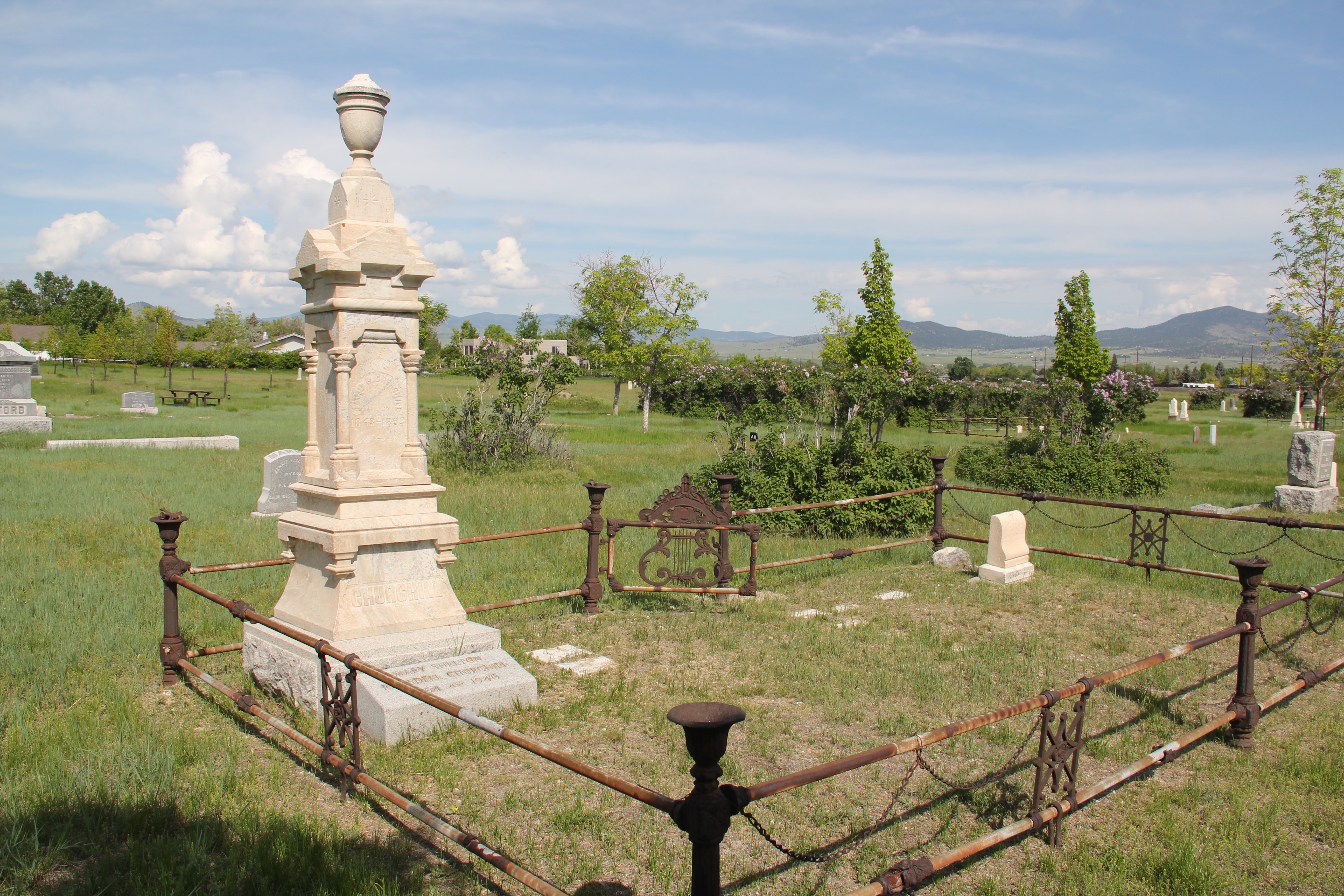



 Benton Avenue Cemetery is worth a new consideration for its many different forms, materials, and designs. When I lived in Helena some thirty-five years ago, I gave it scant attention–it deserves so much more.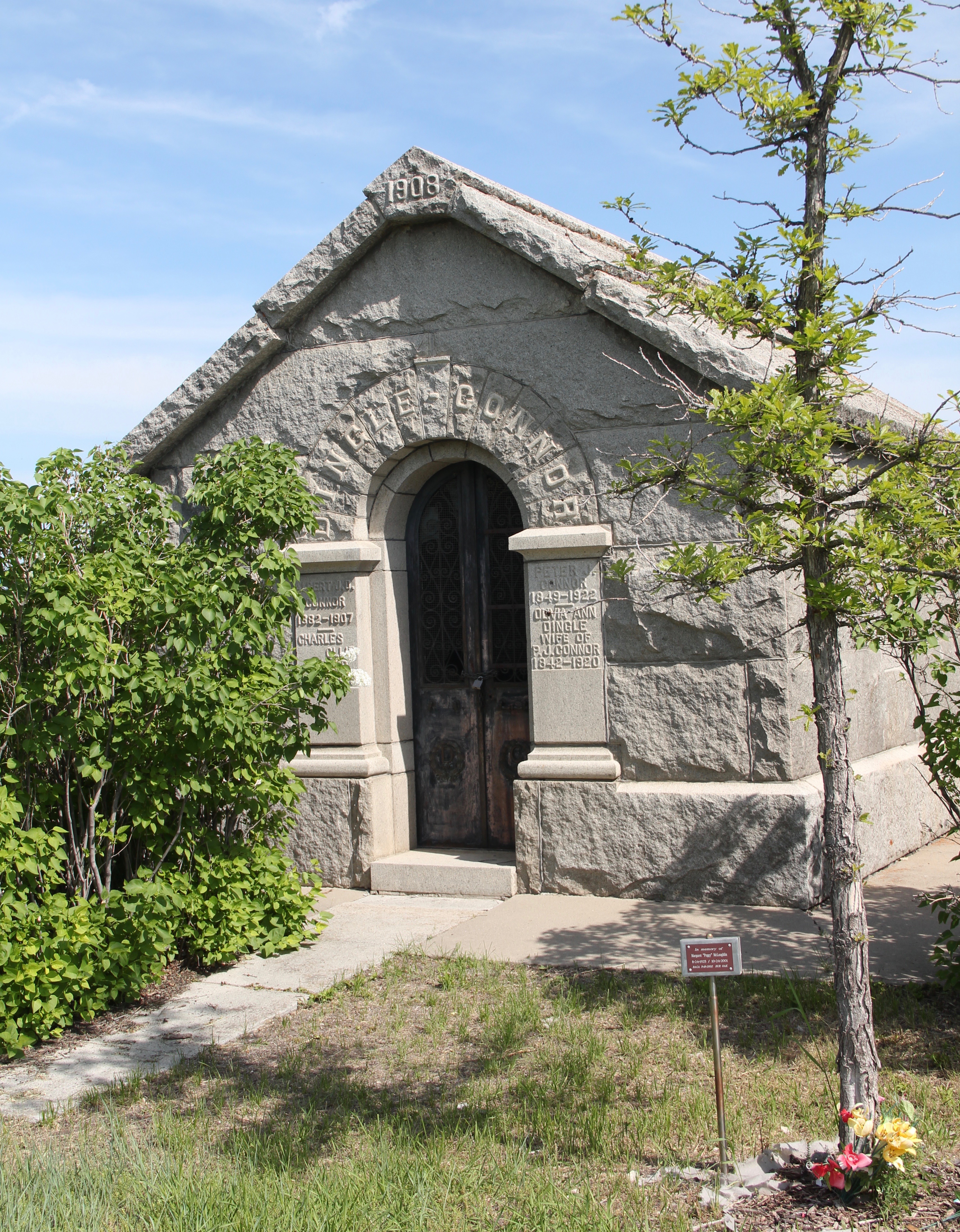
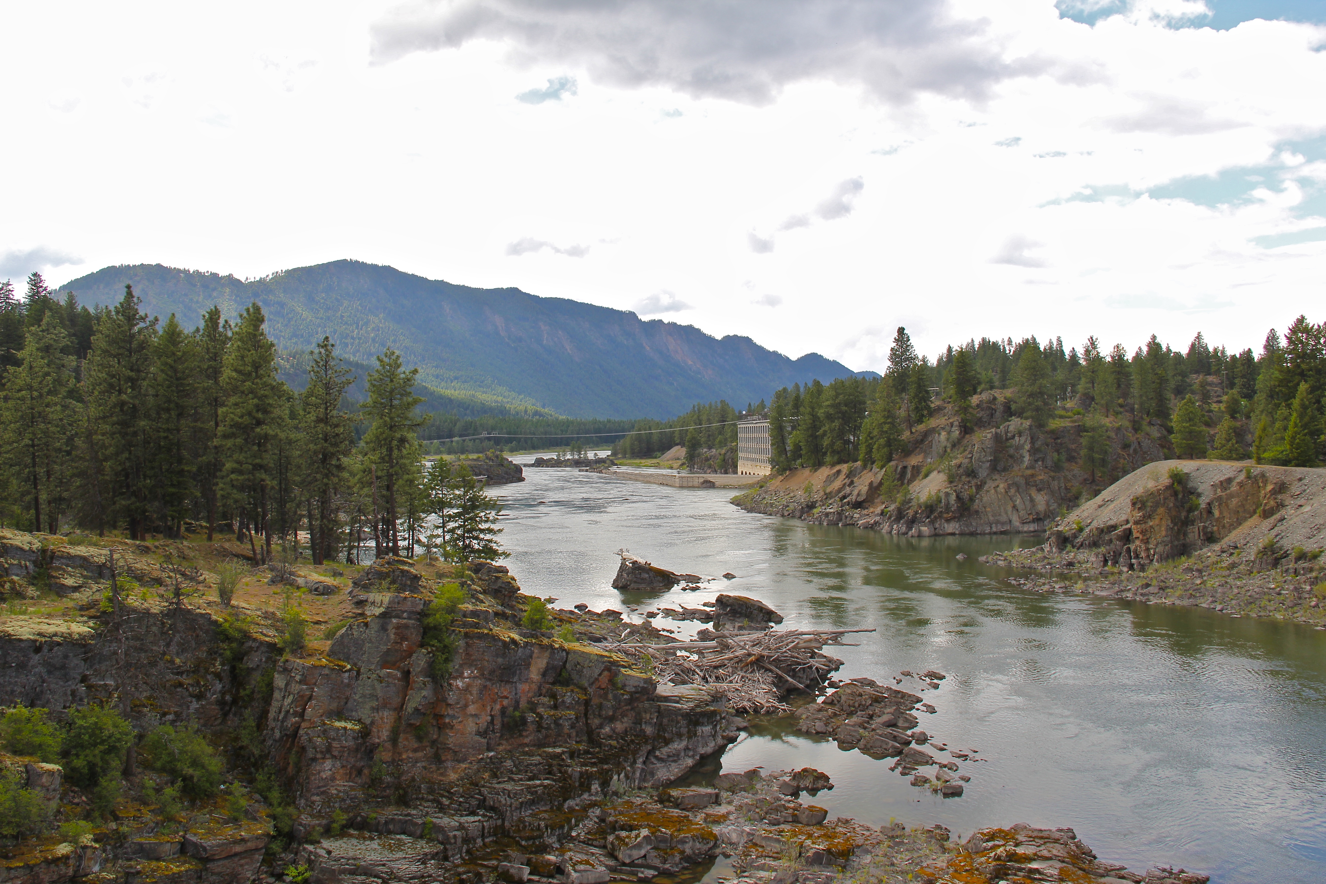
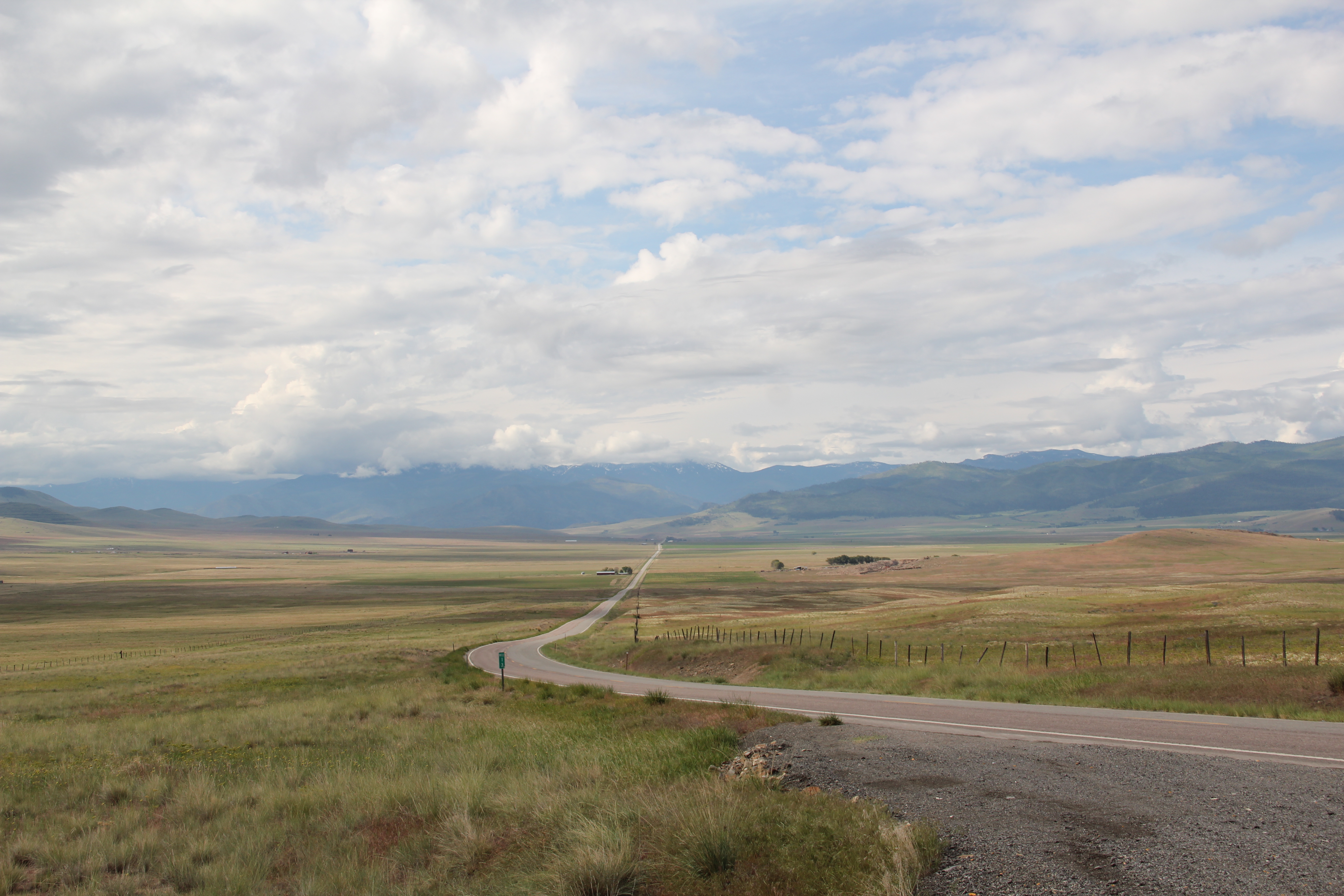
 Sanders County, like many of the places that are on the western side of the Rocky Mountains, has boomed in the last 25 years, from a population over 8,000 to the current estimated population of 11,300. It is close to Missoula, the eastern side is not far from Flathead Lake, Montana Highway 200 runs from Dixon to the end of the county at Heron. With wide valleys and narrow gorges created by both the Flathead and Clark’s Fork Rivers, which meet outside the town of Paradise, Sanders County is frankly a spectacular landscape, with dramatic mountain views framing open plains, such as the image above and the awesome gorge of Clark’s Fork River, below at Thompson Falls.
 The eastern side of the county is just as dramatic just in a far different way. For centuries First Peoples hunted game and dug the camas root in the broad upland prairie that became known as Camas Prairie, crossed now by Montana Highway 28.
 Then, leading from the county’s southeastern edge there is the beautiful Flathead River Valley, followed by Montana Highway 200, from Dixon to Paradise, and most importantly,
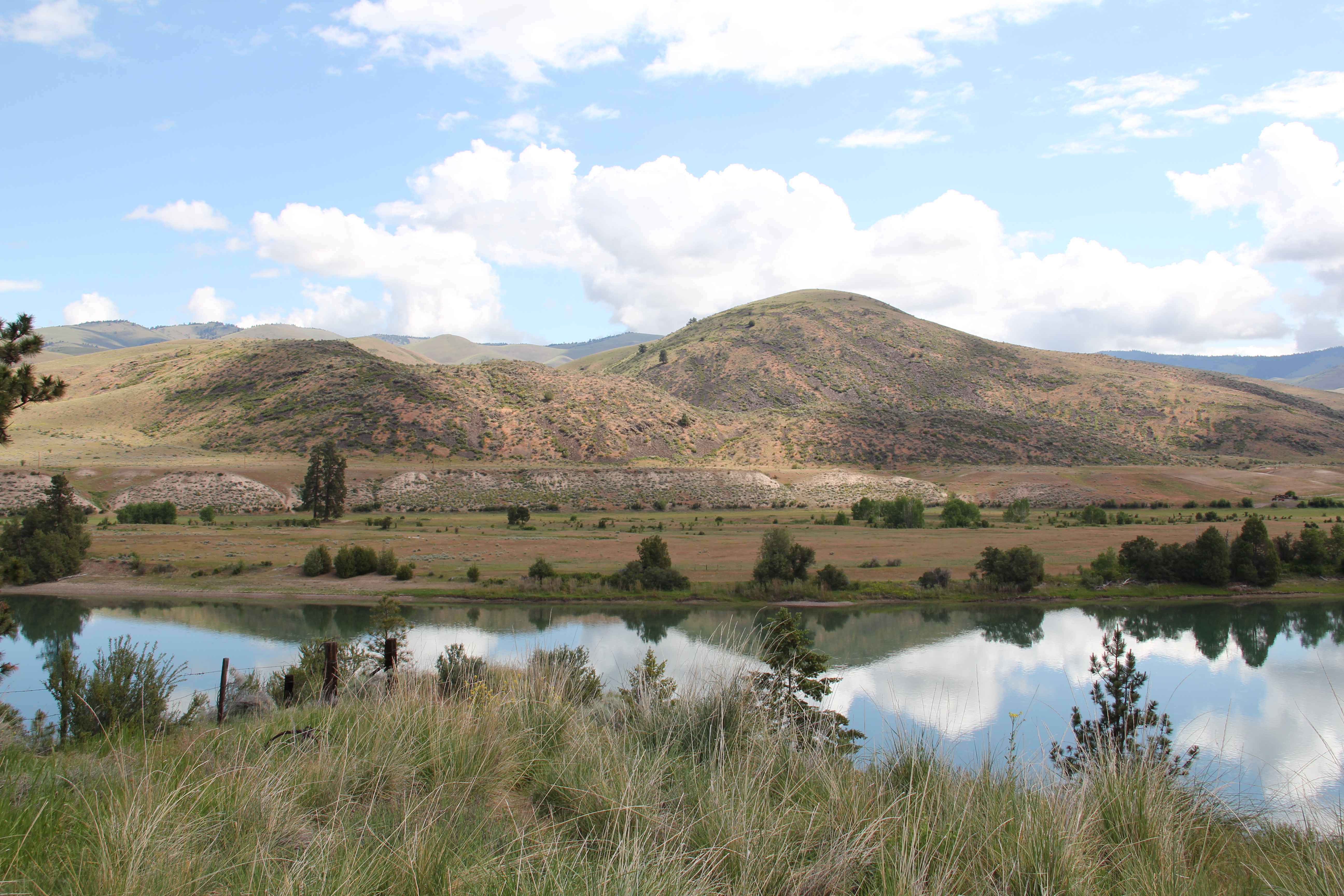 a transportation route initially carved as a trail by the First Peoples who became the nucleus of today’s Confederated Salish and Kootenai Tribe and much later engineered into a major corridor by the tracks of the Northern Pacific Railroad, as it stretched westward from Missoula to the west coast.
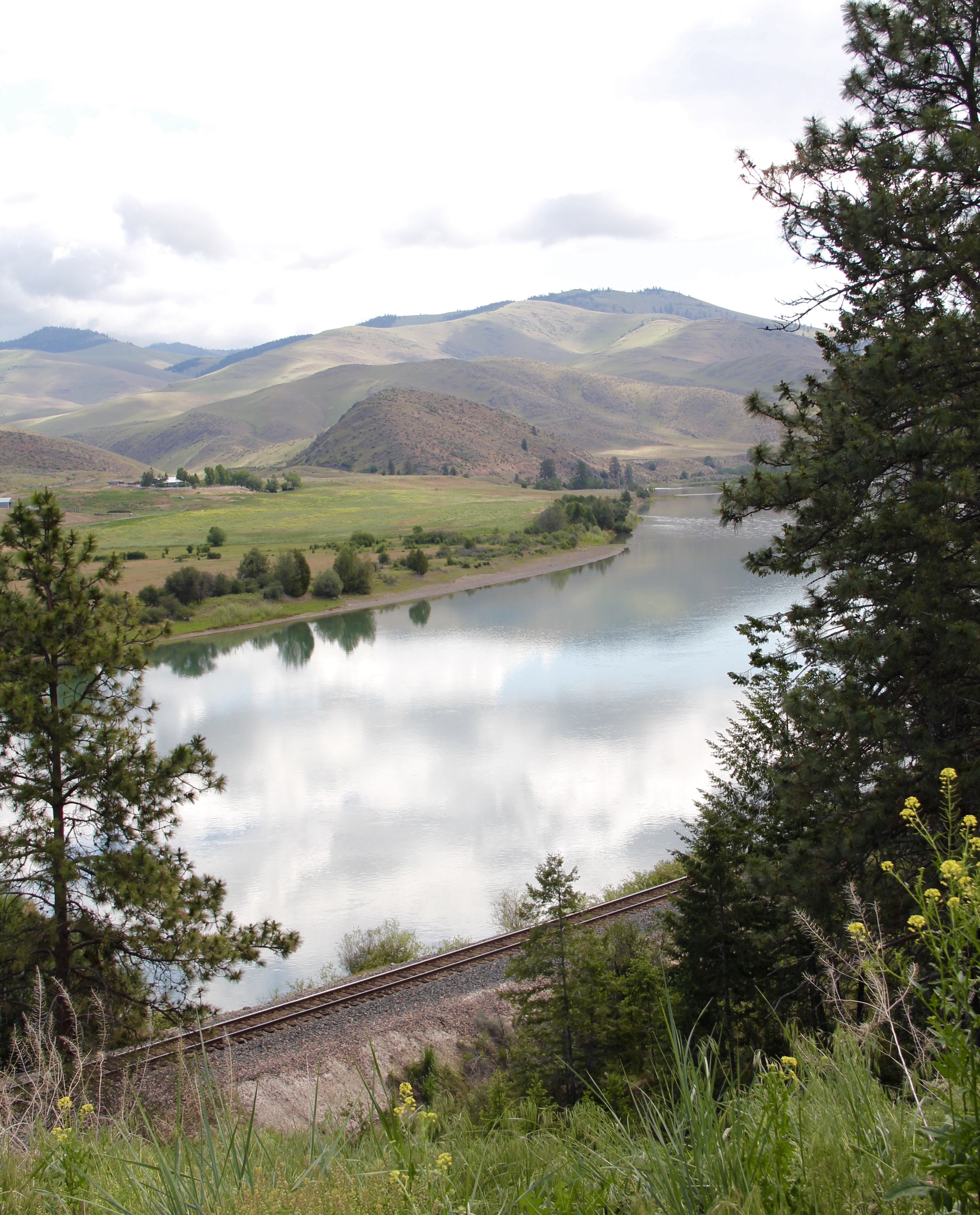 In its wake, the Northern Pacific created most of the county’s townsites by locating sidings along the track. Substantial settlement arrived once the federal government opened lands for the homesteading boom in the early 20th century.
 Dixon, named for the former Montana governor Joseph Dixon, is one of the remaining railroad/homesteading towns along the Flathead River. The fate of the community bar, above, is symbolic of the recent history of the town, one of population decline.


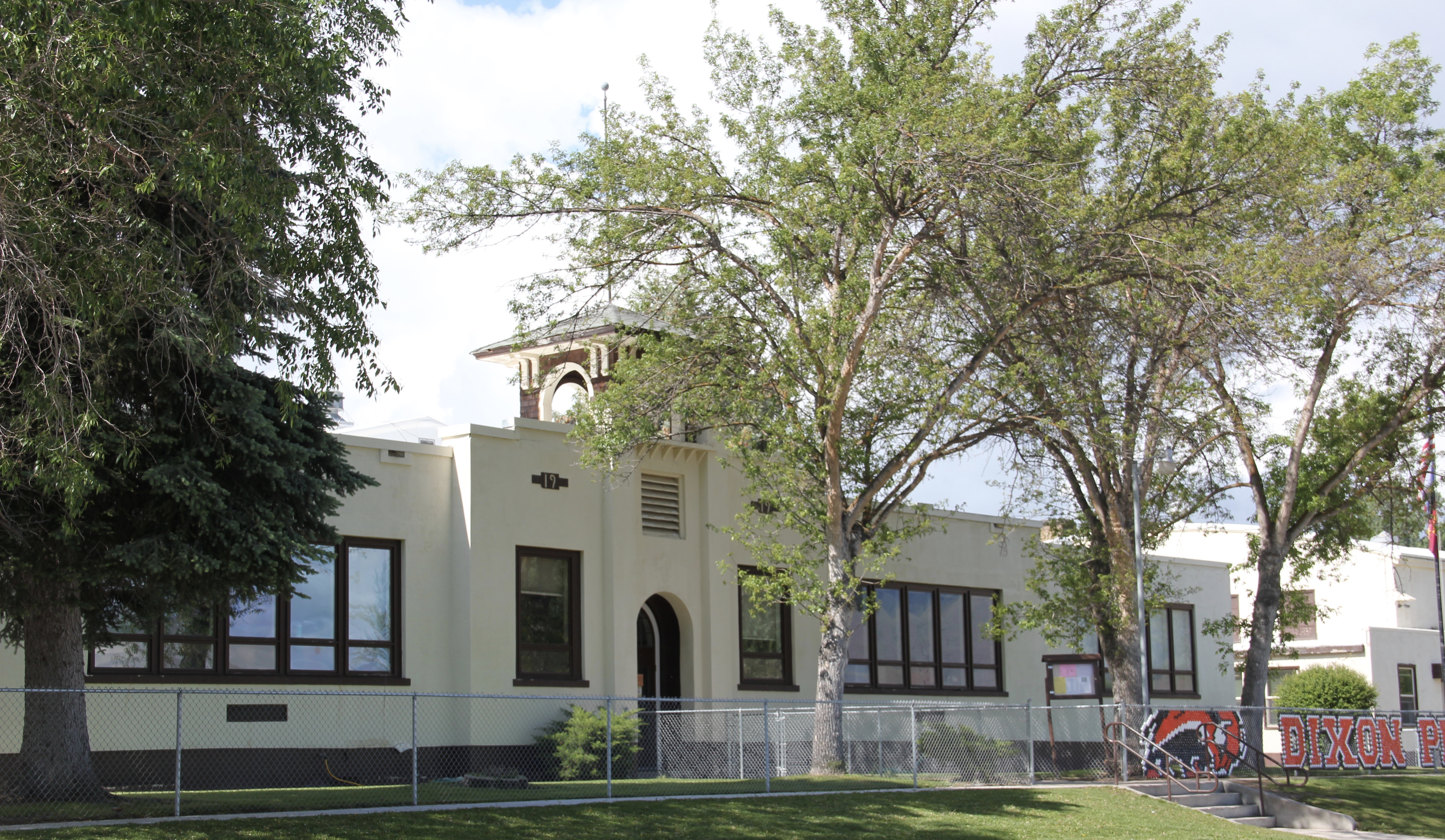


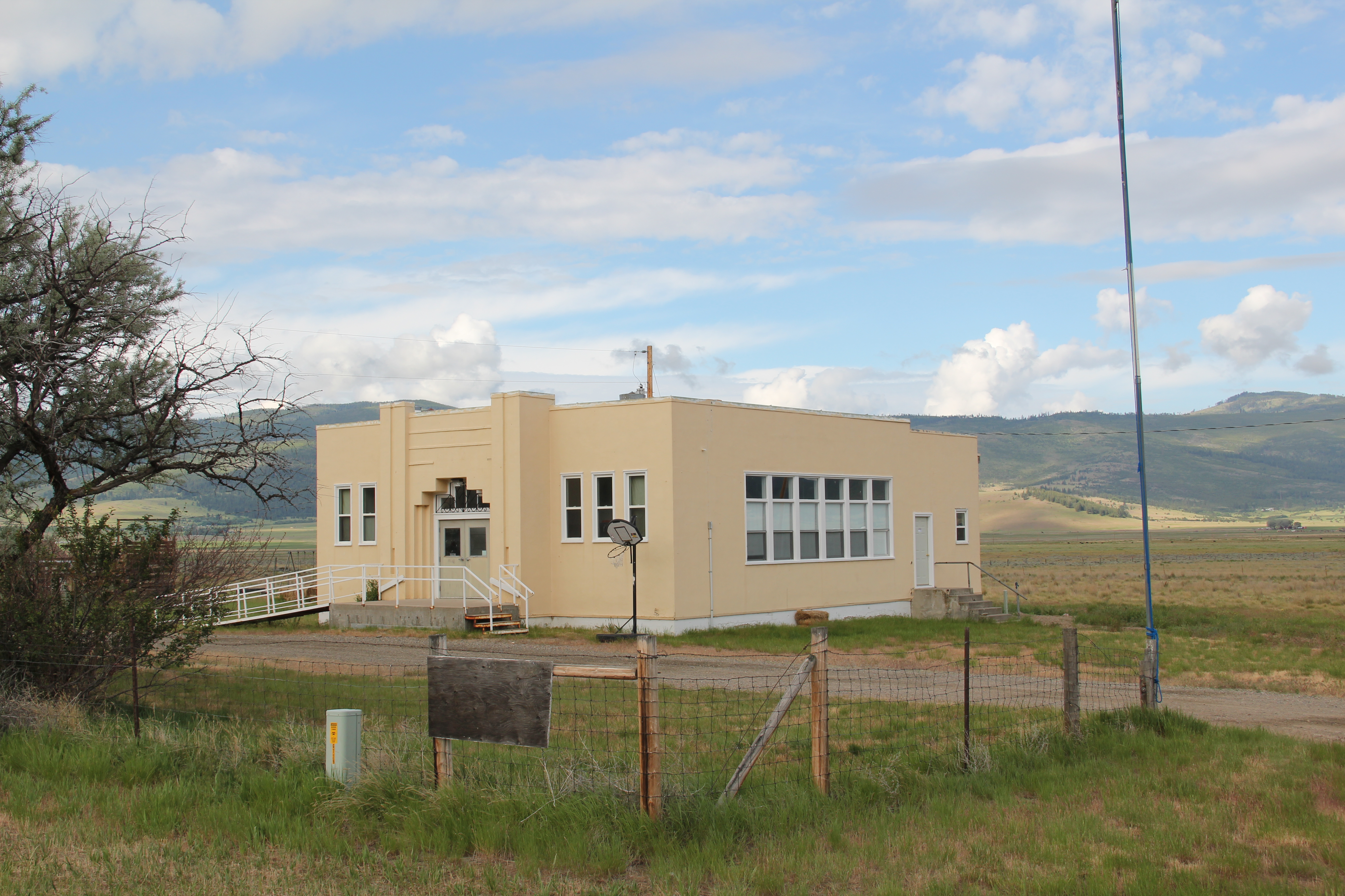 Local residents are being excellent stewards of this captivating property–certainly one of my favorite spots in the state combining landscape with architecture with history. The architect was the Missoula designer H. E. Kirkemo, and the school was completed in 1940, near the end of the New Deal school building programs.


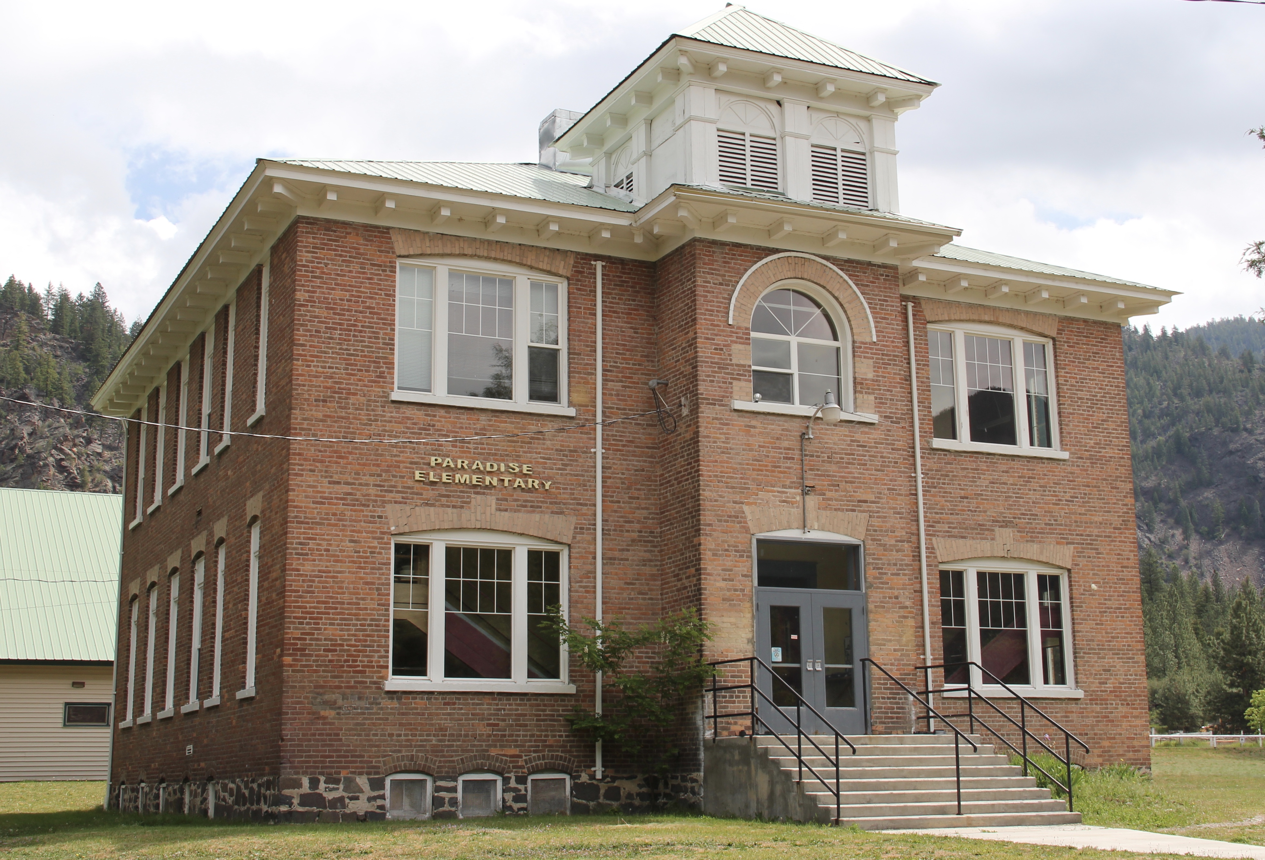 The school had just closed its doors for good when I lasted visited but the restoration planning has been underway ever since. I look forward to my next visit to Paradise to experience the final results. Near the school is another historic community property, the Paradise Cemetery, where tombstones mark the names of those who worked so long for the railroad and for the creation of this place within the Clark’s Fork River Valley.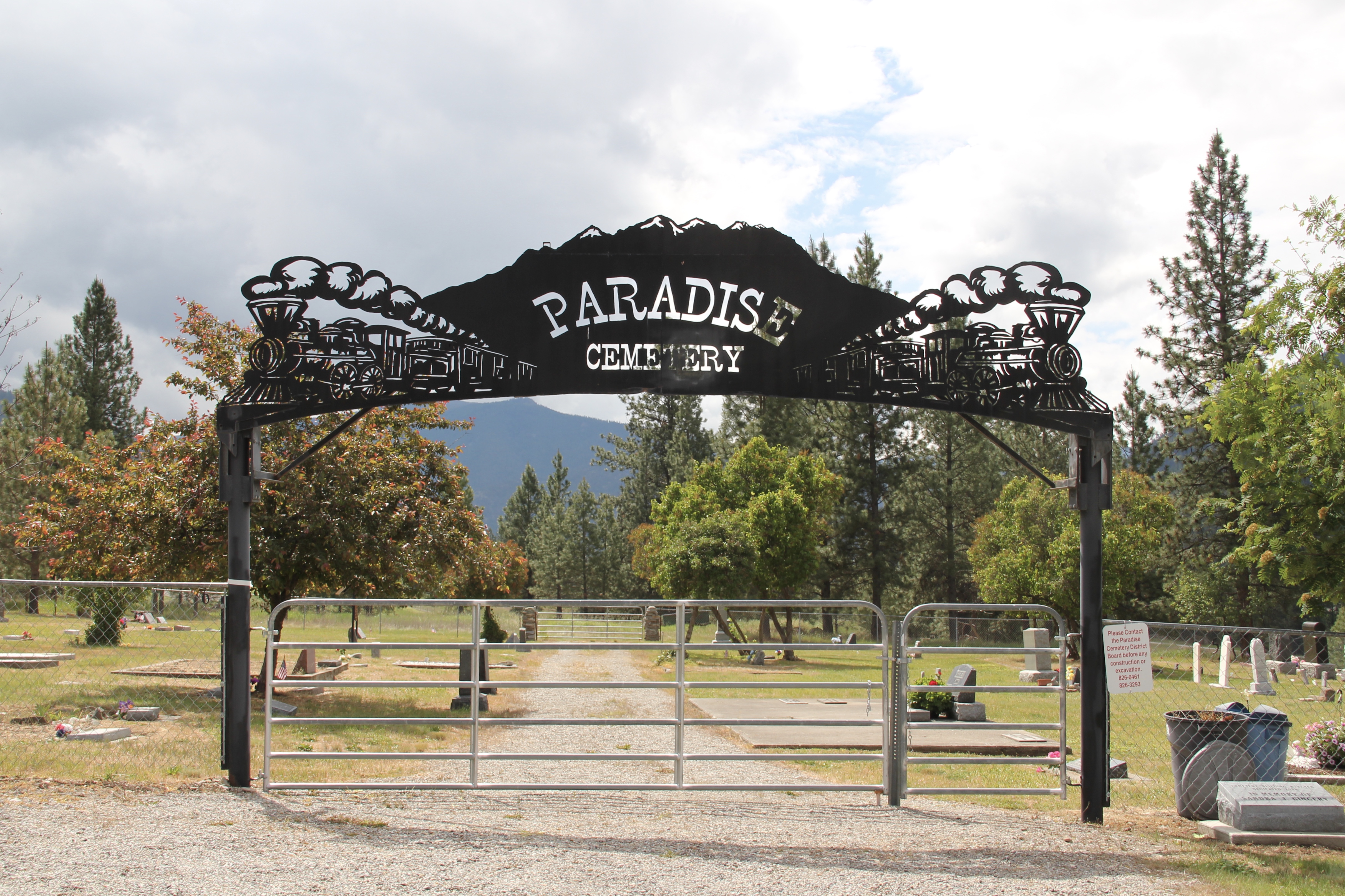
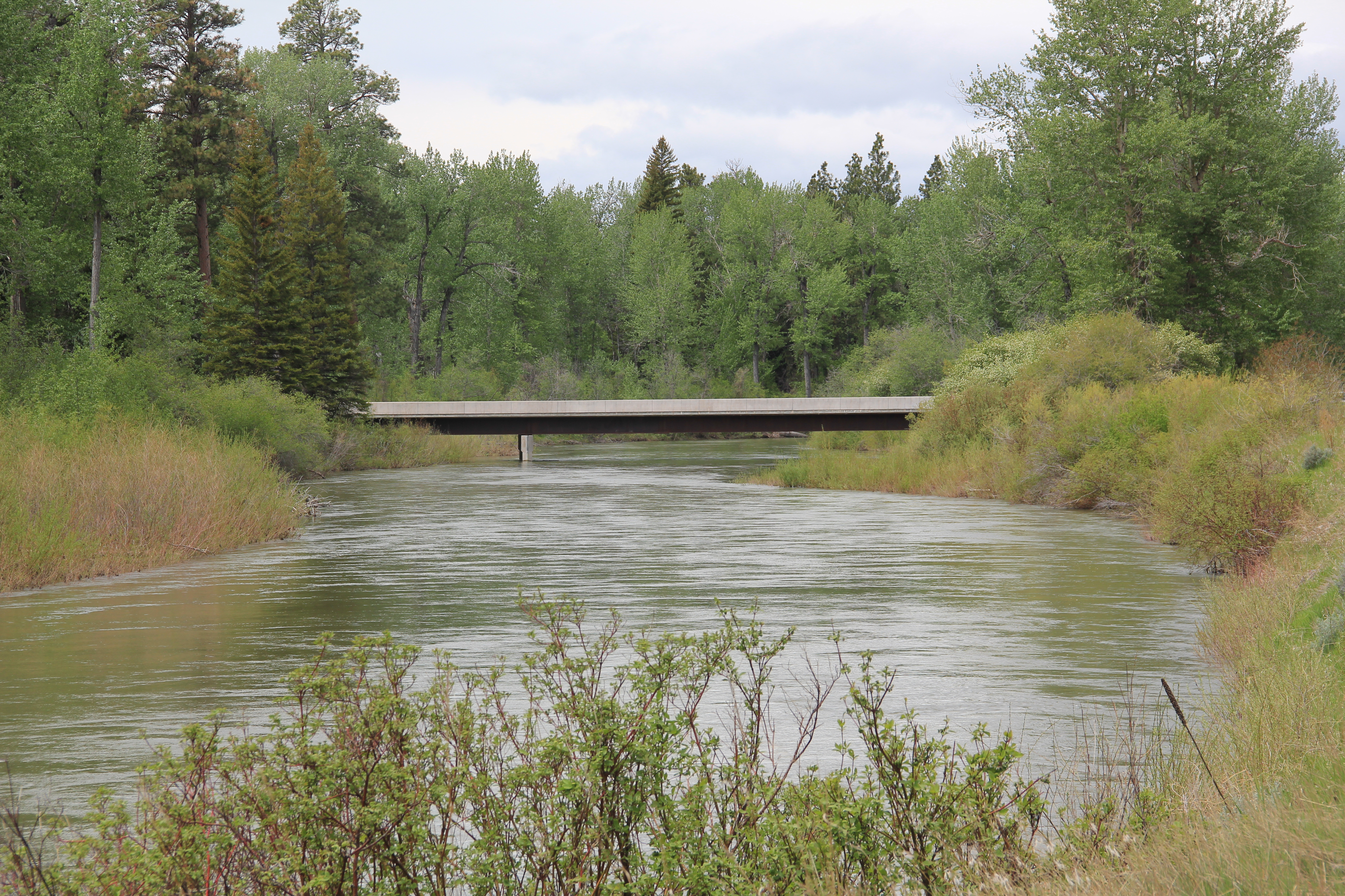 Between Garrison Junction, where U.S. Highway 12 and Interstate I-90 meet, to Elliston, at near the Mullan Pass over the continental divide, is a beautiful, historic valley carved by the Little Blackfoot River. It is a part of Powell County that hundreds whiz through daily as they drive between Missoula and Helena, and it is worth slowing down a bit and taking in the settlement landscape along the way.
 Captain John Mullan came this way shortly before the Civil War as he built a military road between Fort Benton and Walla Walla, Washington. A generation later, in the early 1880s, the tracks of the Northern Pacific Road used the Mullan Pass to cross the divide and then followed the Little Blackfoot River west towards Missoula.


 The oldest federal imprint in Elliston comes from the ranger’s headquarters for the Helena National Forest in its combination of a frame early 20th century cottage and then the Rustic-styled log headquarters.
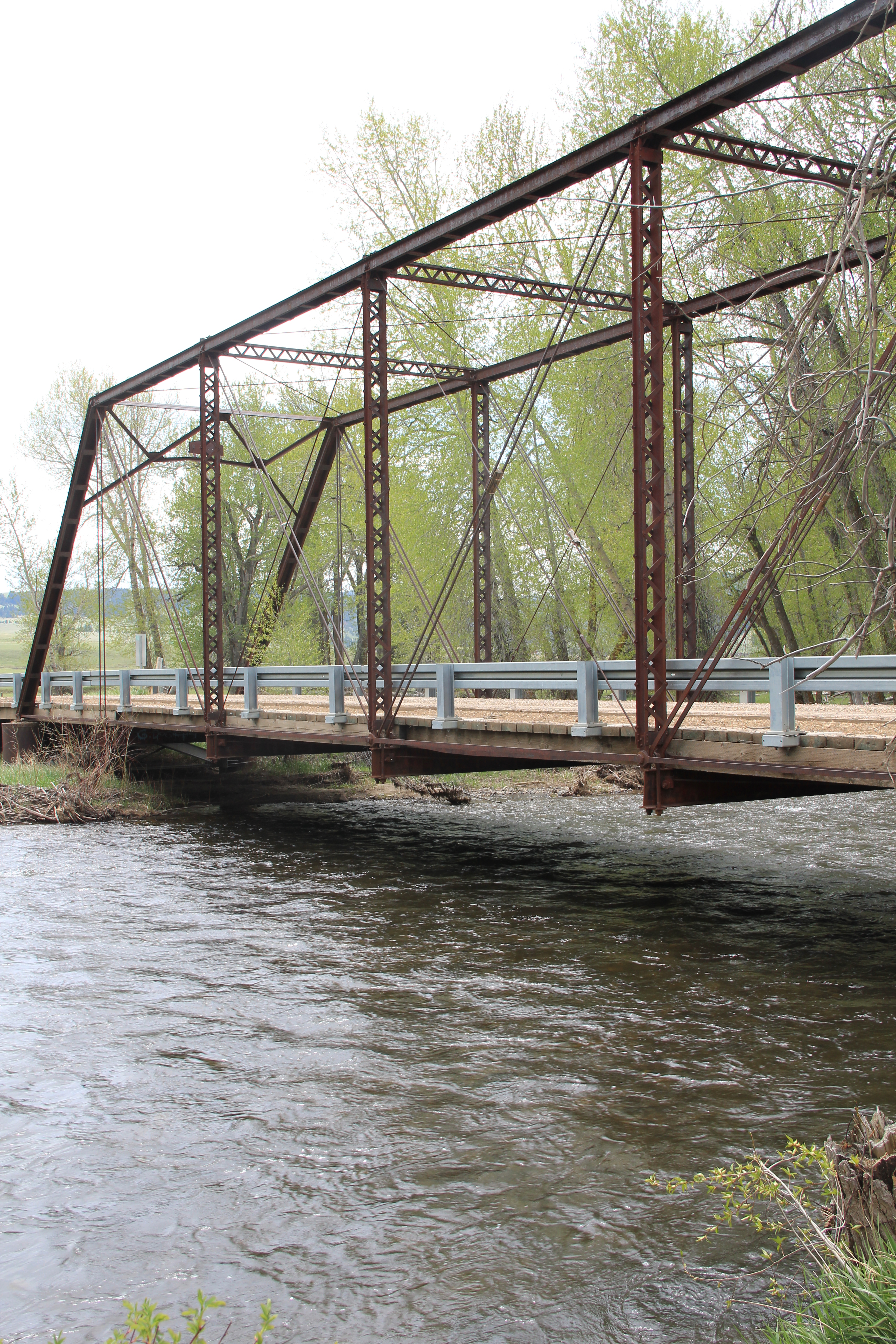
 The next railroad town west is Avon, which is also at the junction of U.S. Highway 12 and Montana Highway 141 that takes travelers northwest toward the Blackfoot River. Like Elliston, Avon has several buildings to note, although the National Register-listed property is the historic steel truss bridge that crosses the Little Blackfoot River and then heads into ranch territory.
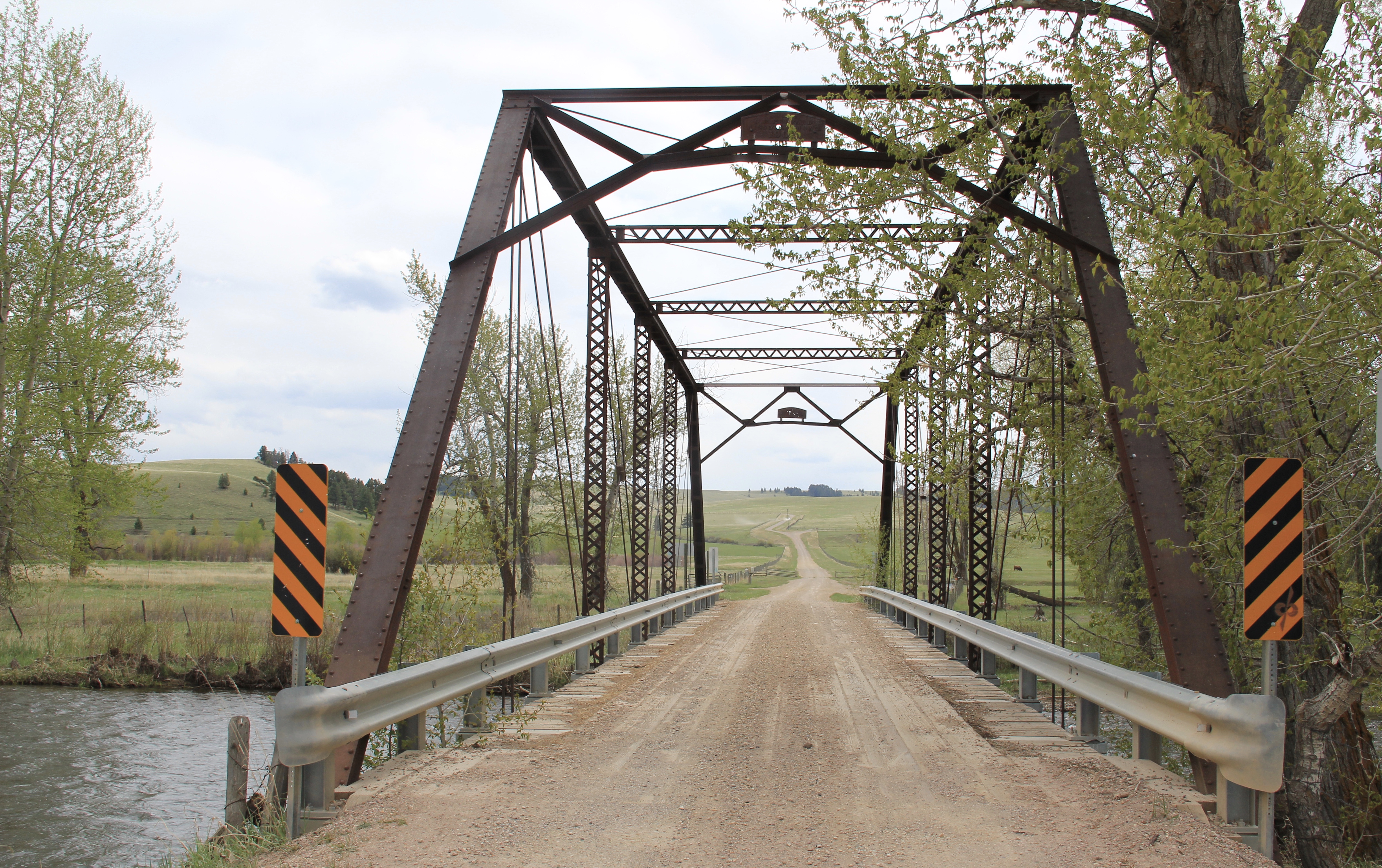 The bridge is a Pratt pony truss, constructed in 1914 by contractor O.E. Peppard of Missoula, and little altered in the last 100 years. As the National Register nomination notes, the bridge’s camelback trusses are unusual and have not been documented in other Montana bridges from the early 20th century.
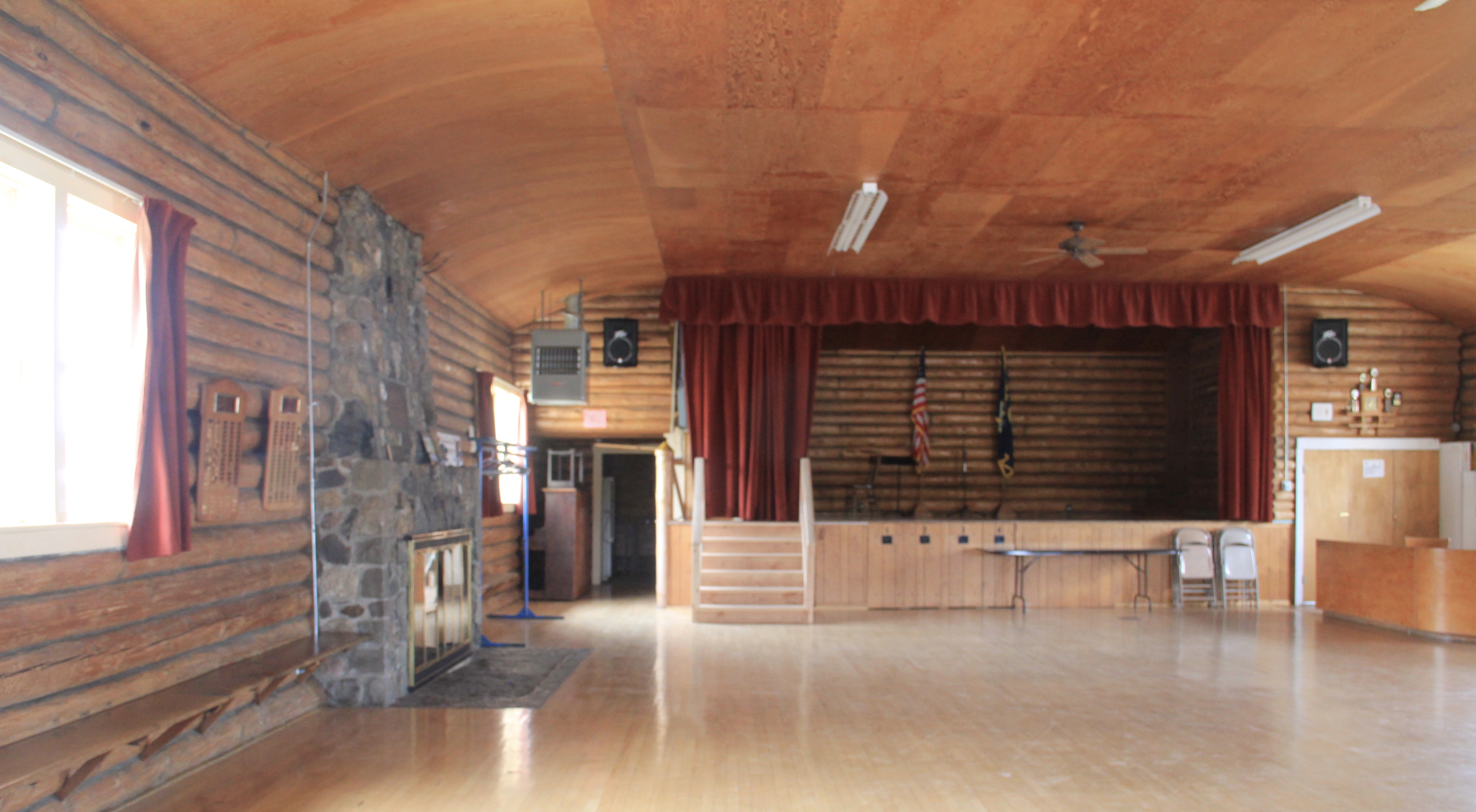
 Avon has another clearly National Register-worthy building in its 1941 community hall, a late New Deal era building, which has served the community in multiple ways, as a meeting place for the Avon Grange, a polling place, and a place for celebrations of all sorts, including stage presentations and bands.

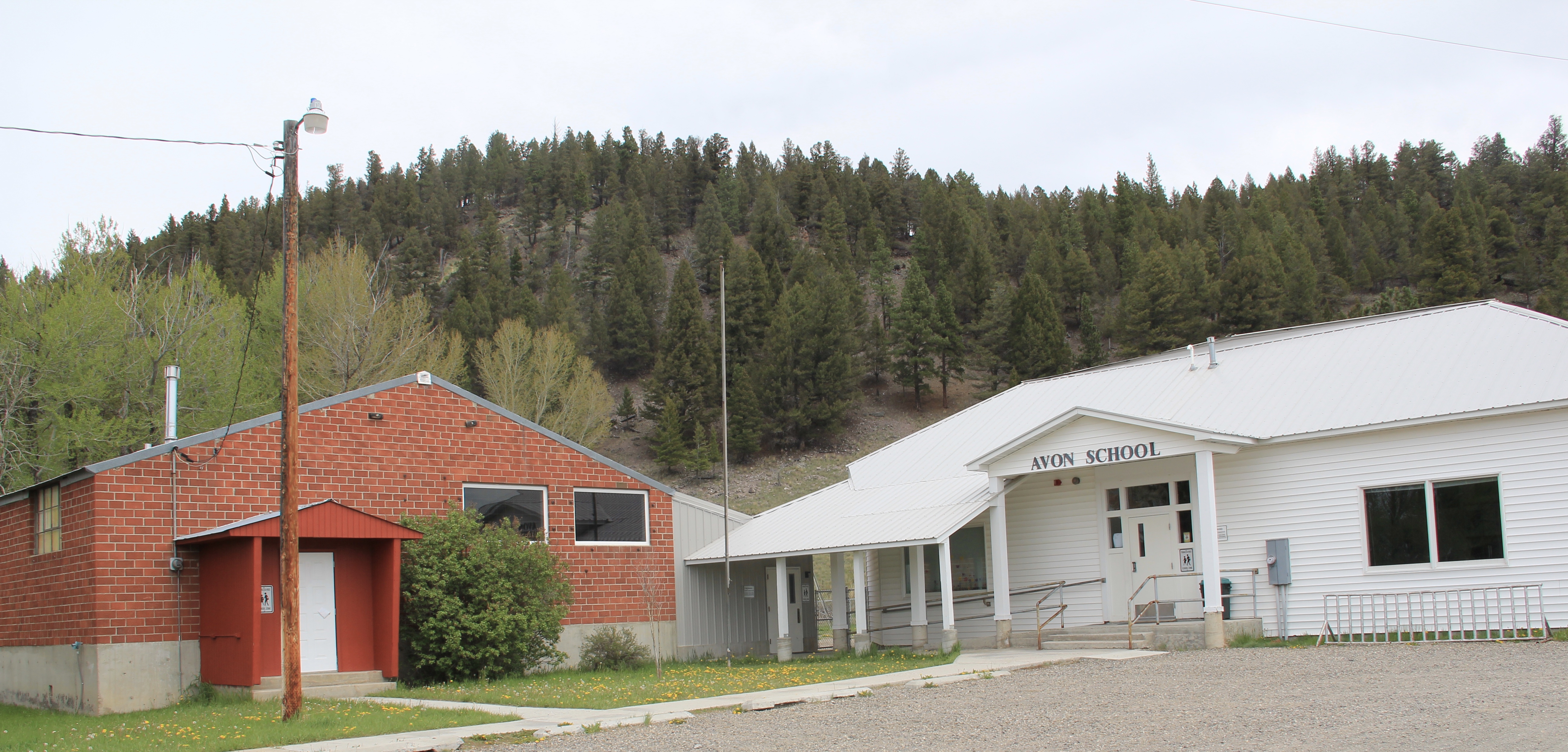
 The Avon School also has a New Deal era affiliation, with the Works Progress Administration. Although remodeled in the decades since, the school still conveys its early 20th century history.
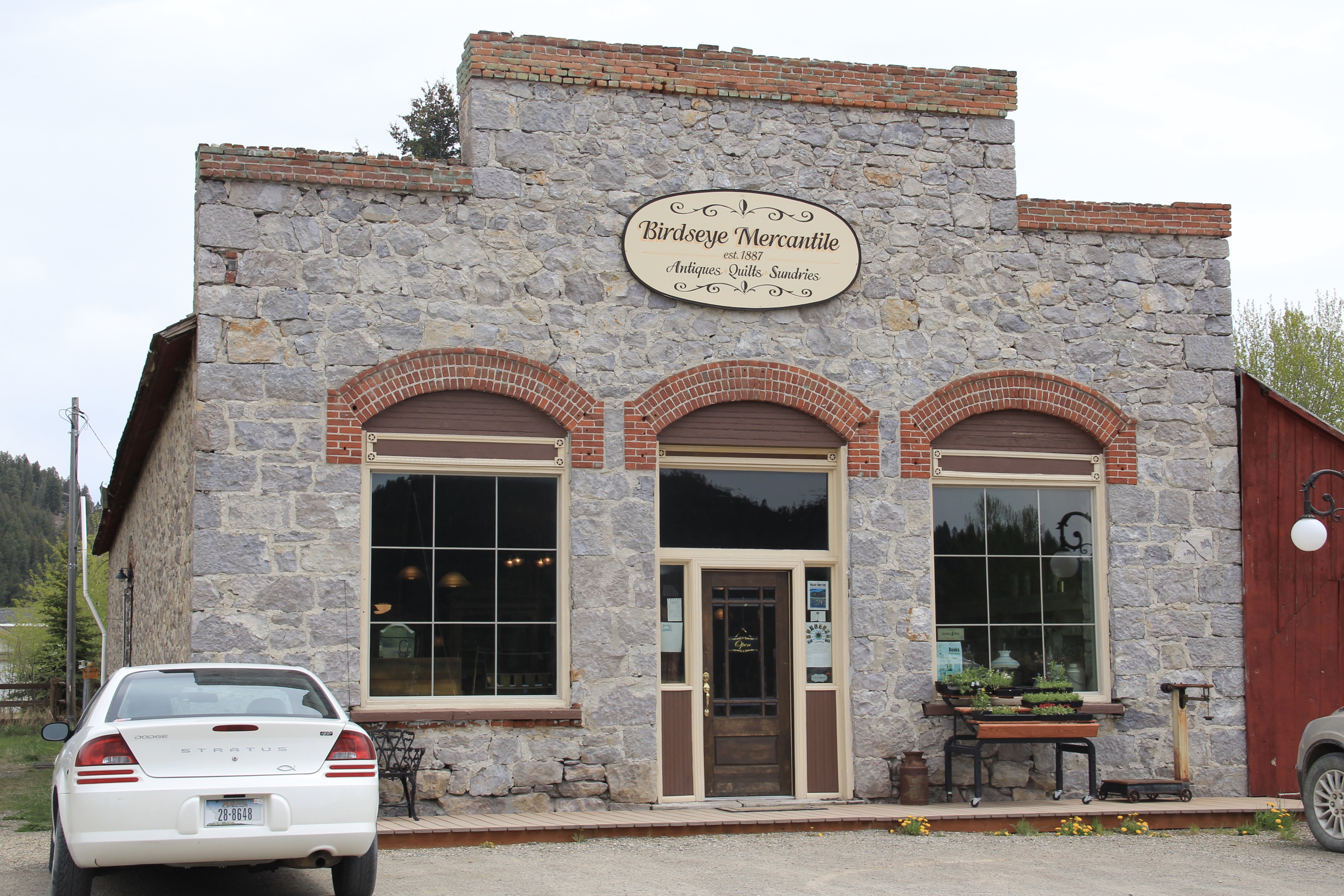
 Avon even has its early 20th century passenger station for the Northern Pacific Railroad, although it has been moved off the tracks and repurposed for new uses.
 In front of the depot is the turn of the 20th century St. Theodore’s Catholic Church. The historic Avon Community Church incorporates what appears to be a moved one-room school building as a wing to the original sanctuary.


 Another important property in Avon, but one I ignored in 1984-85, is the town cemetery, which also helps to document the community’s long history from the 1880s to today.
 Heading west from Avon on U.S. Highway 12 there are various places to stop and enjoy the river valley as it narrows as you approach Garrison. I always recalled this part fondly, for the beaverslide hay stackers–the first I encountered in Montana in 1981–and they are still there today, connecting the early livestock industry of the valley to the present.

 Miners first began to gather at what is now Philipsburg in the late 1860s; the town was later named for Philip Deidesheimer, who operated the Bi-Metallic Mine works. As the Bi-Metallic Mine and Mill expanded operations in the 1880s, a rapid boom in building


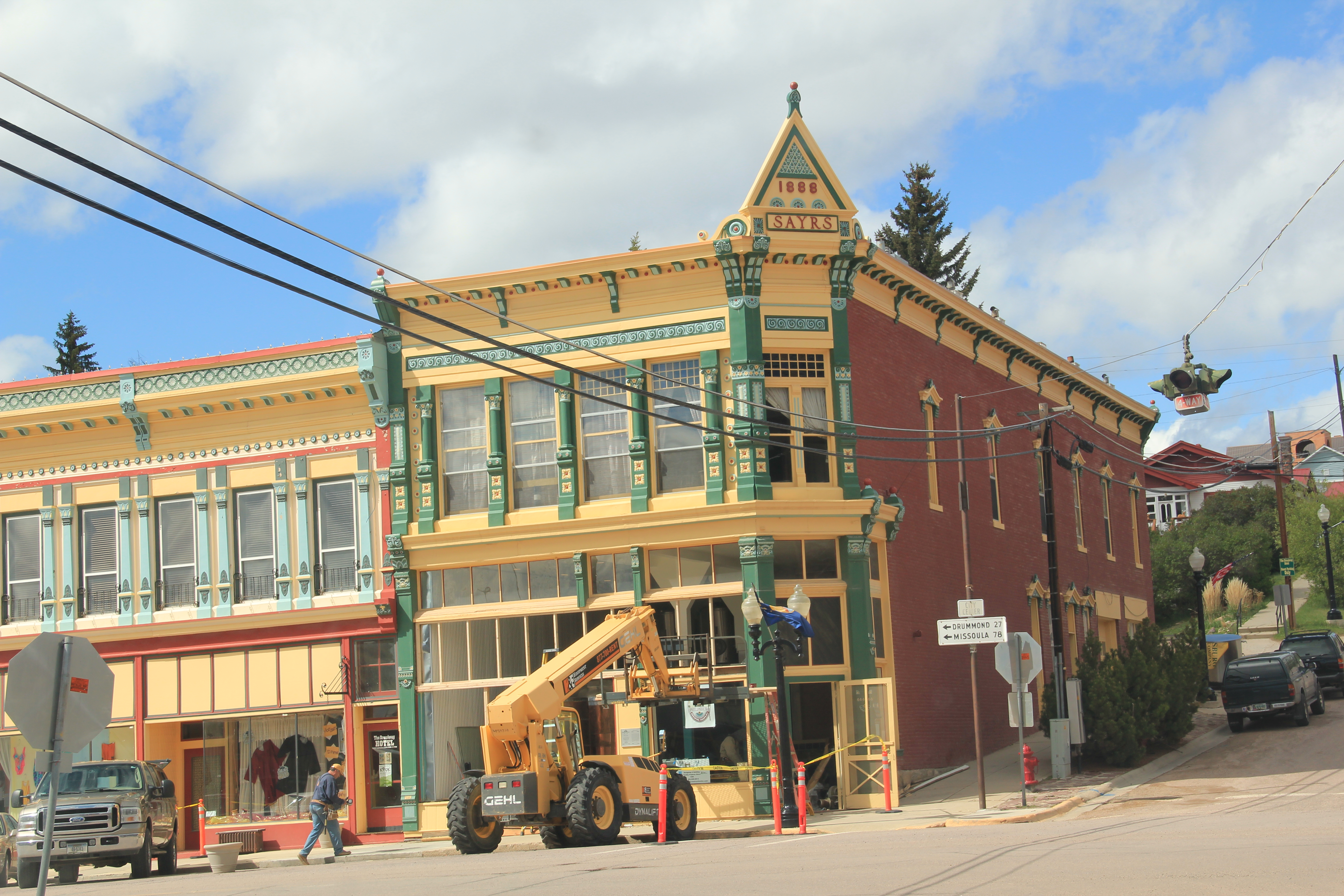
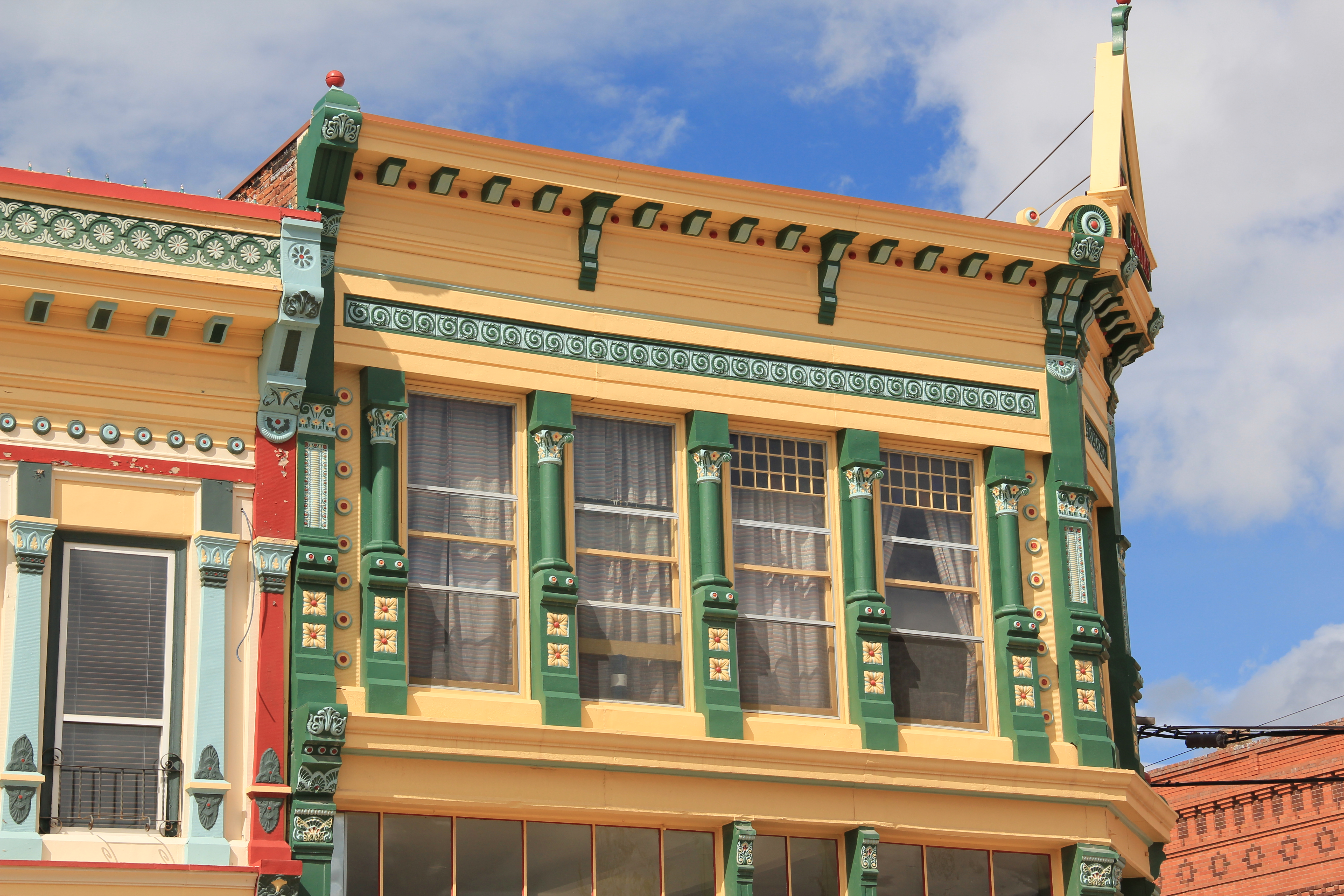 The quality of the Victorian commercial architecture still extant in Phillipsburg, such as the 1888 Sayrs Block above, astounded me during the 1984-85 preservation work. So much was intact but so much needed help. Residents, local officials, and the state preservation office understood that and by 1986 the Philipsburg Commercial historic district had been added to the National Register of Historic Places.
 What is exciting is that in this decade, entrepreneurs are building upon early successful renovations and adaptive reuse project to launch new businesses and create new jobs. The town’s population is growing, after 30 years of decline.


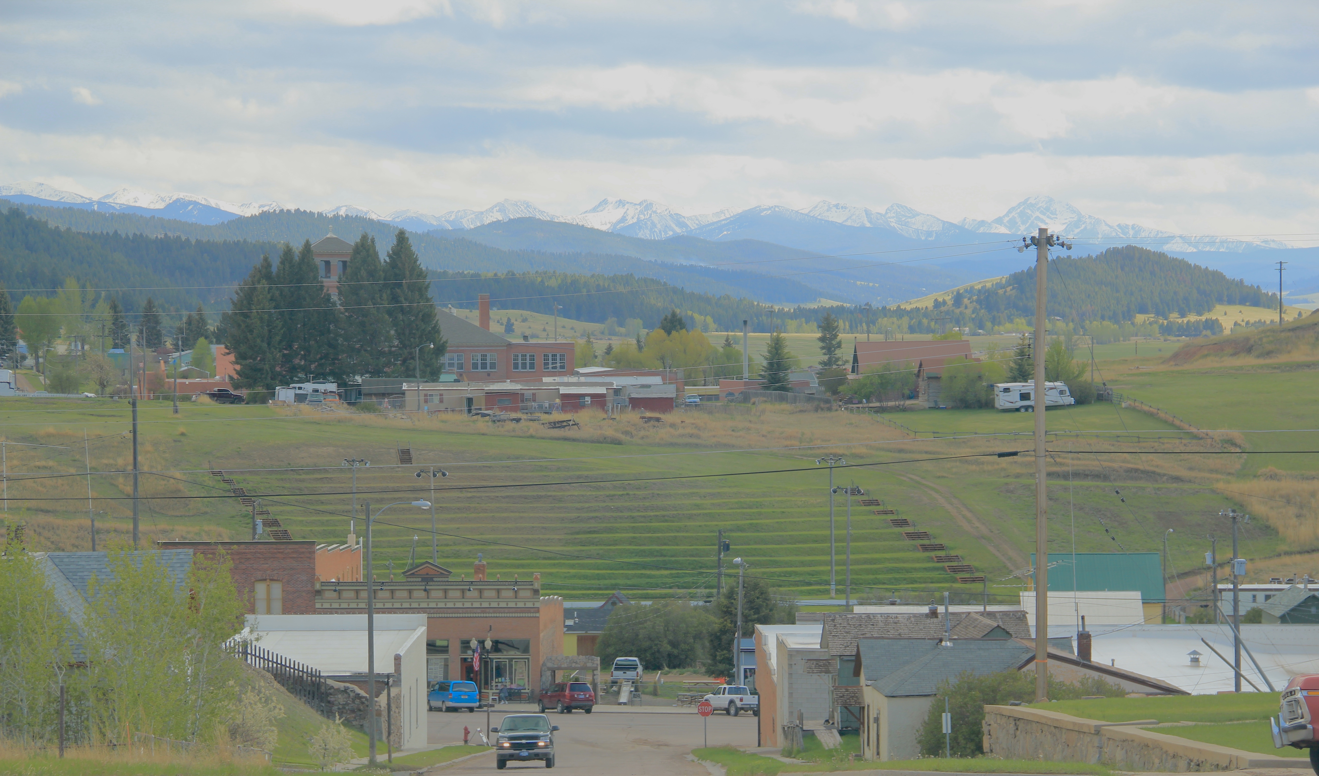 The new developments in Philipsburg are interesting and invaluable changes since 1984-1985. At the same time, I am happy that residents have still embraced their historic public buildings in a similar fashion. The photograph I used in my book about the town in 1985
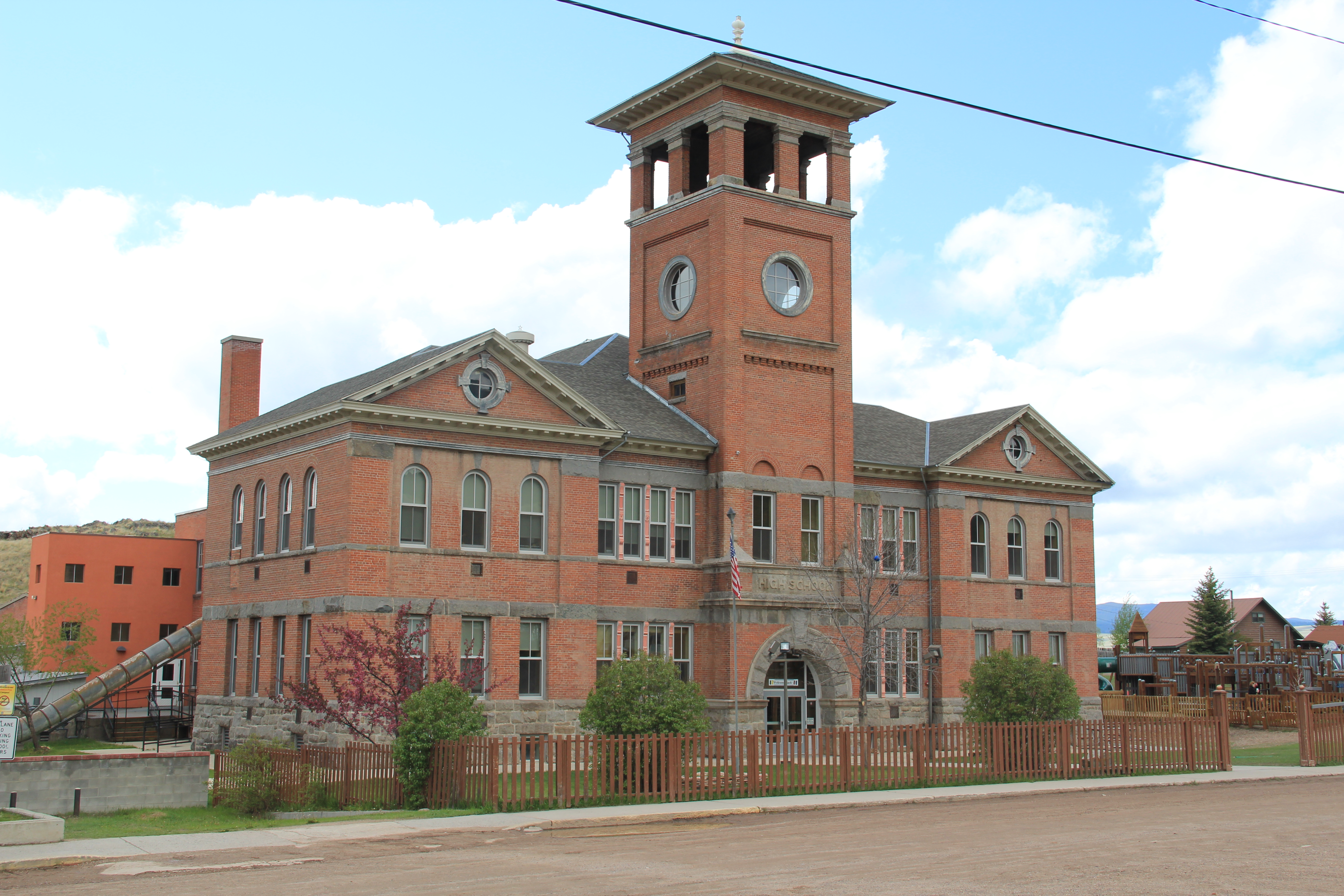
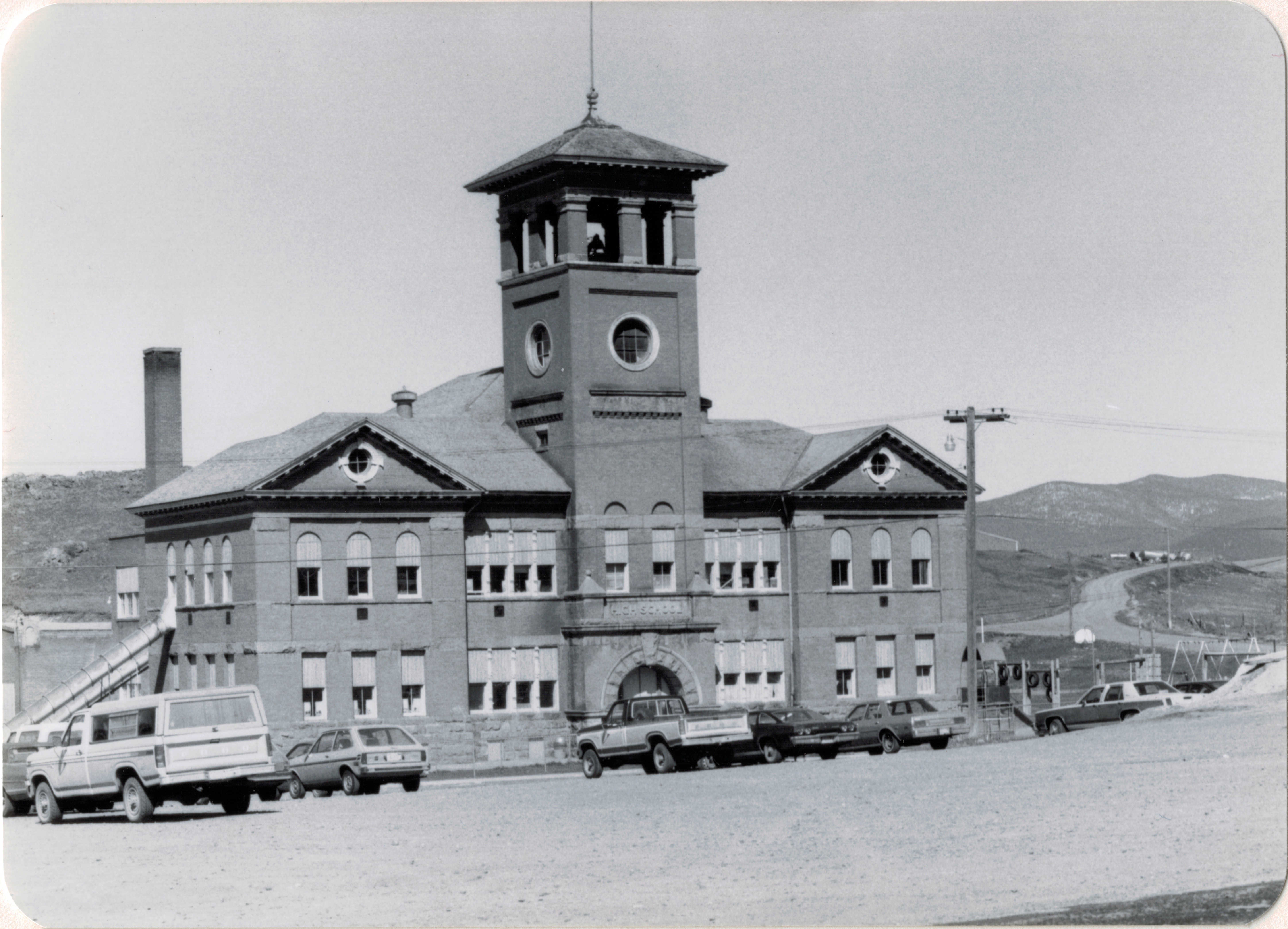 was the Philipsburg School, with its soaring tower symbolizing the hopes that residents had for Philipsburg’s future in the 1890s. The historic school, which is listed in the National Register, remains although the community built a new building adjacent to the historic one in 1987. (you can see a corner of the new building at the lower left).
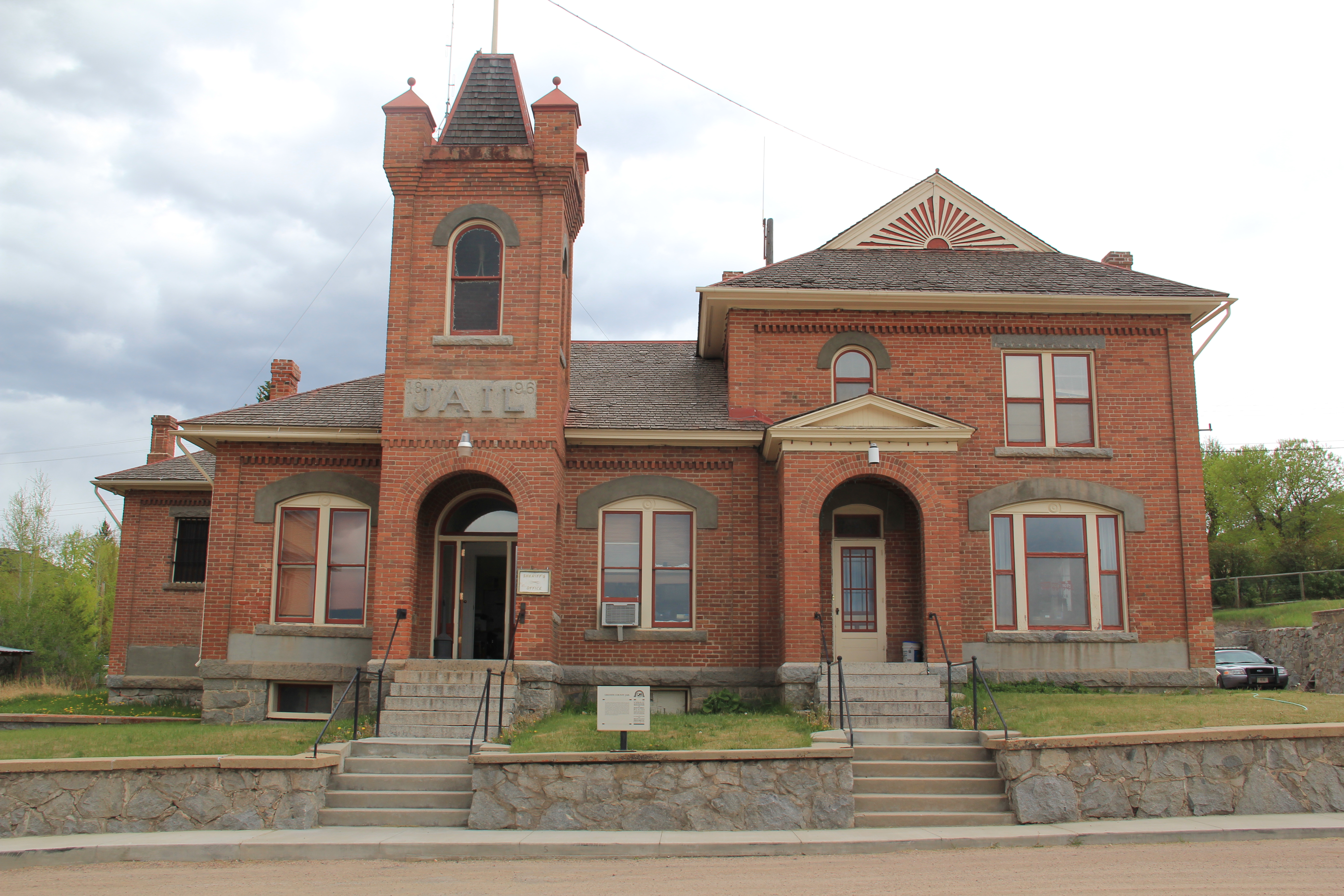
 When I first visited in 1984 the only building in Philipsburg listed in the National Register was the Queen Anne-styled Granite County Jail of 1902. It also remains in use.
 But now the Classical Revival-styled Granite County Courthouse (1913) is also listed in the National Register. Designed by the important Montana architectural firm of Link and Haire, this small town county courthouse also speaks to the county’s early 20th century ambitions, with its stately classical columned portico and its central classical cupola.


 By climbing the hill above the courthouse you also gain a great overview look of the town, reminding you that these rather imposing public buildings are within what is truly a modest urban setting that is connected to the wider world by Montana Highway 1.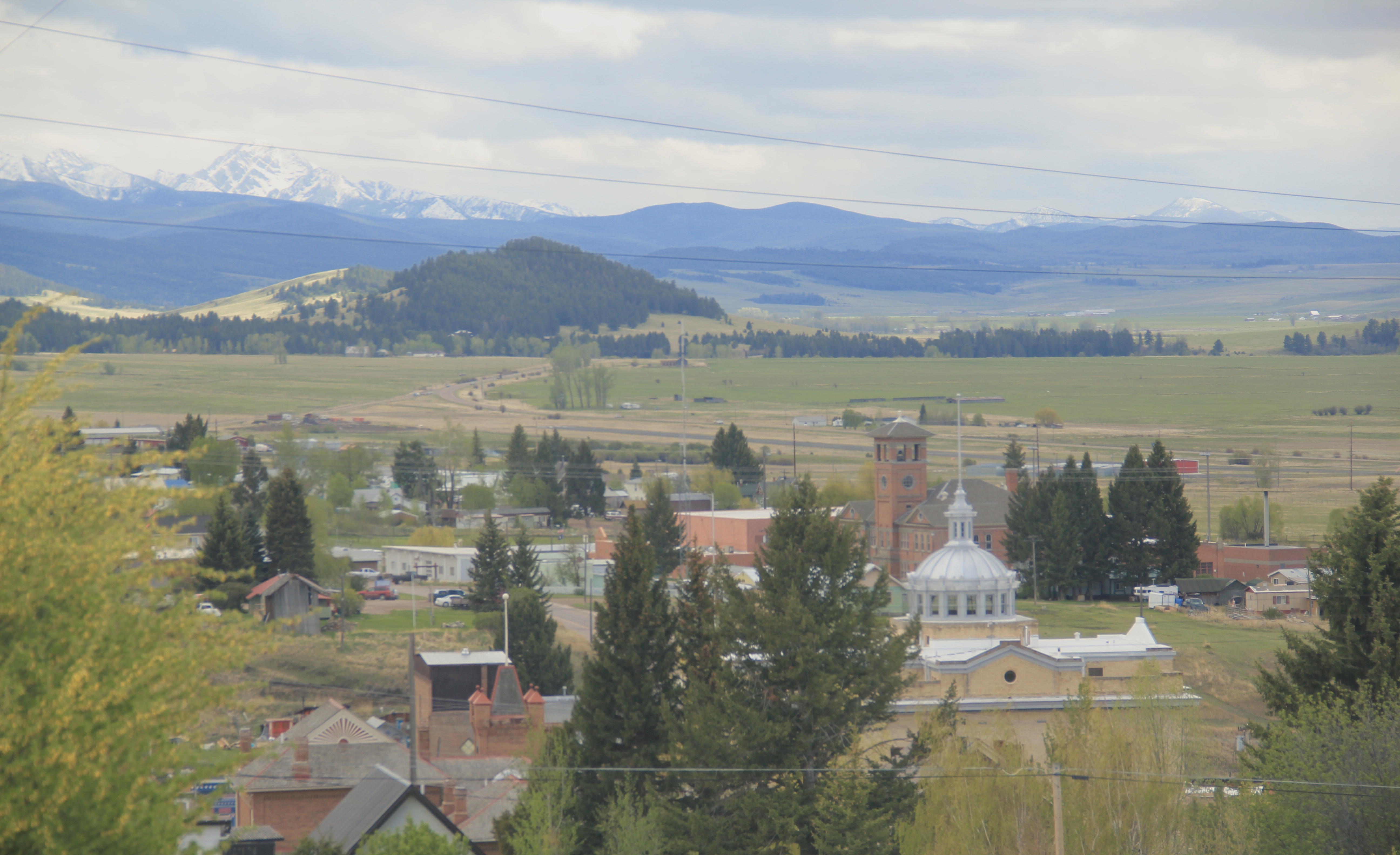


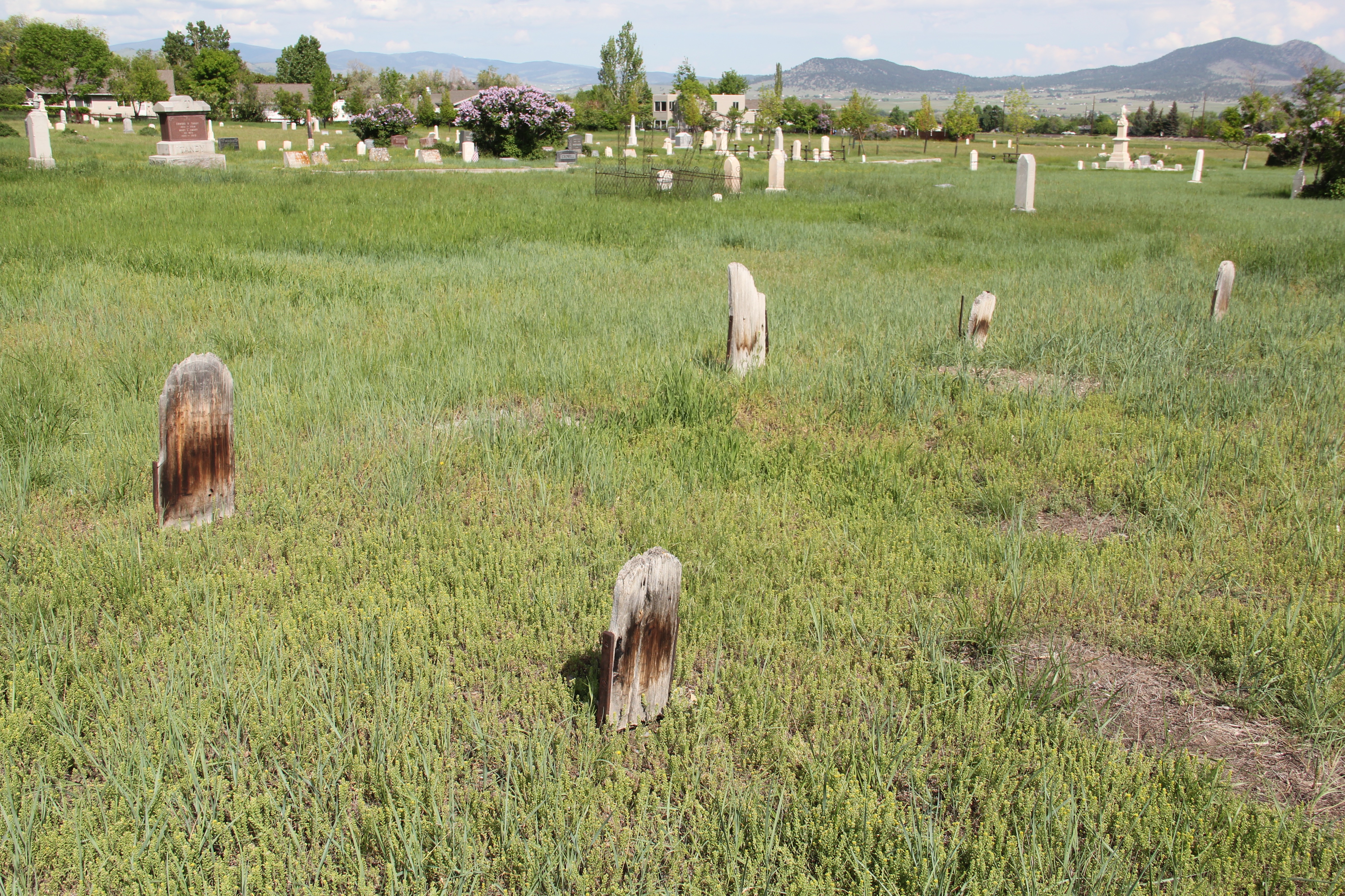
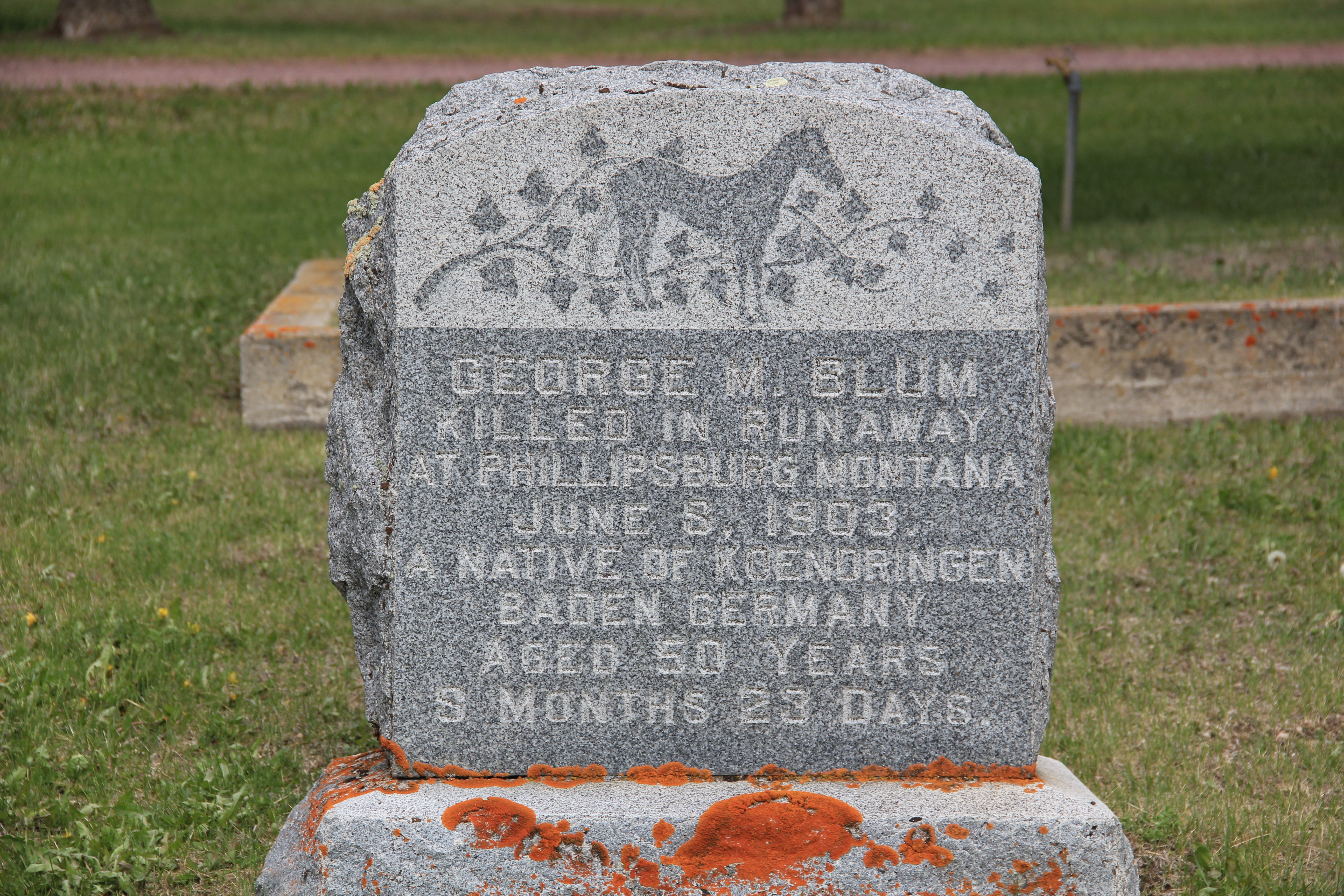
 The Philipsburg Cemetery, which like so many that I ignored in 1984-1985, was a revelation, reflecting the quality of Victorian period architecture found in the town.
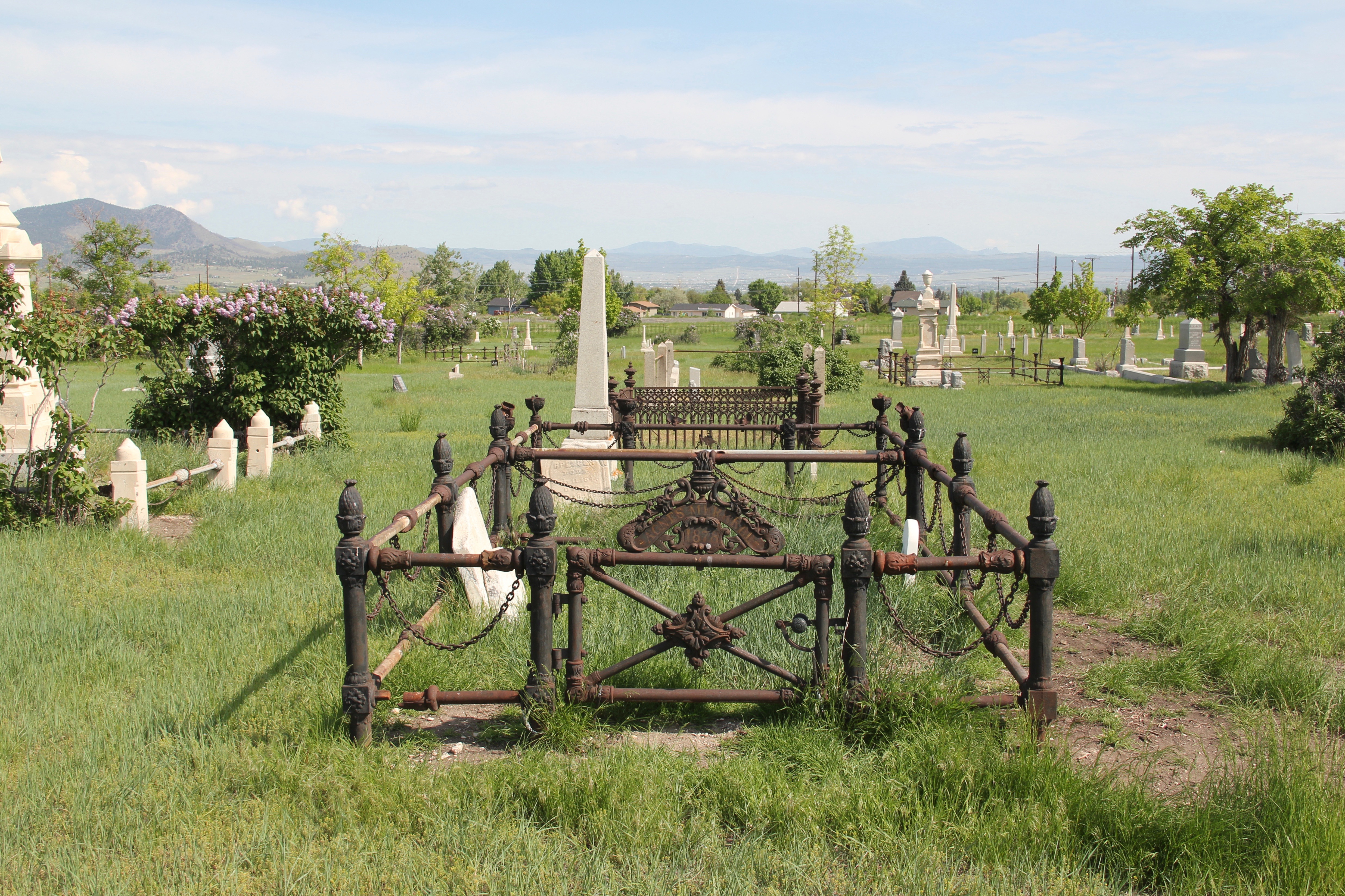
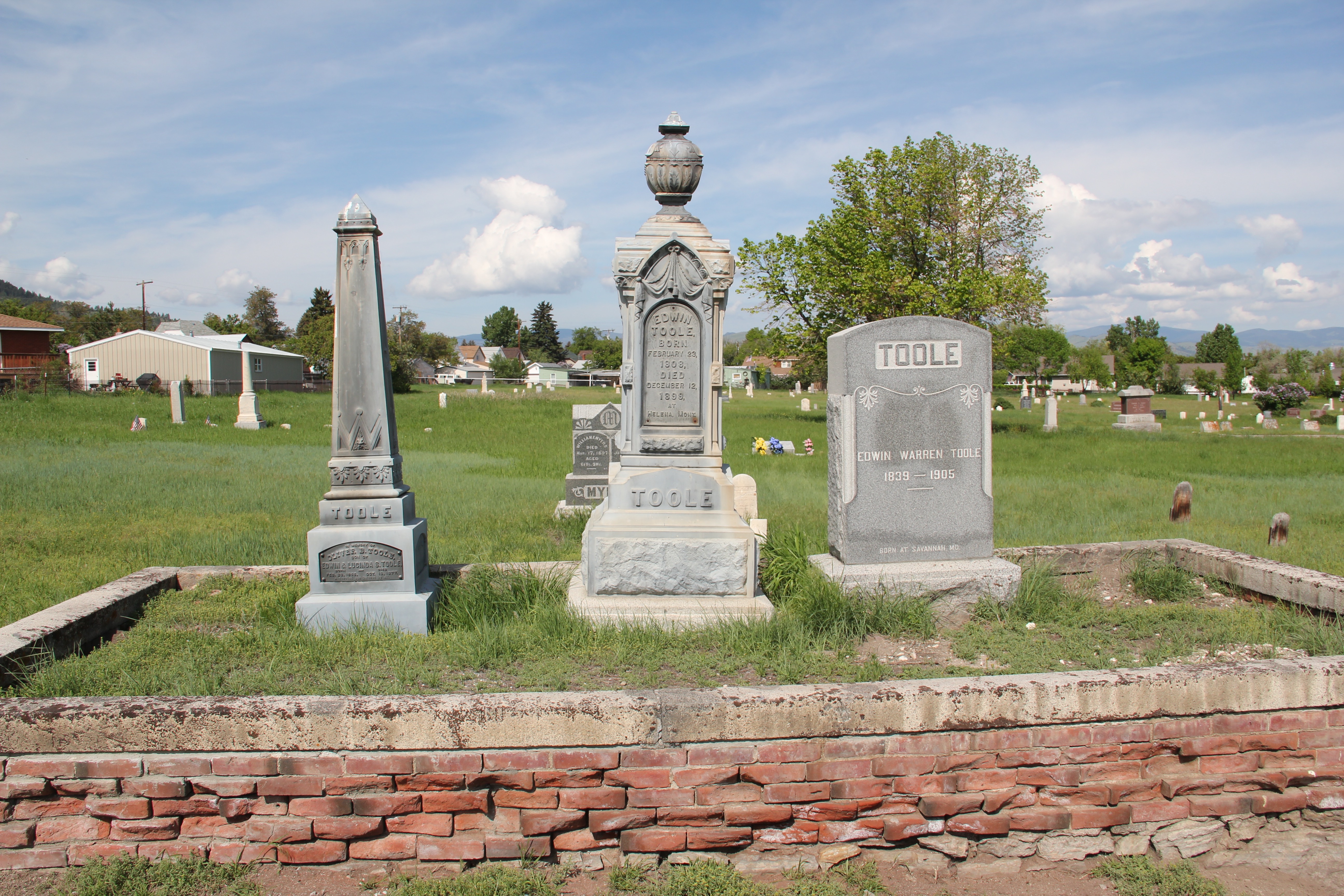
 The beauty and serenity of its setting were impressive enough, but then some of the family plots and individual markers reflected Victorian era mortuary art at its best.
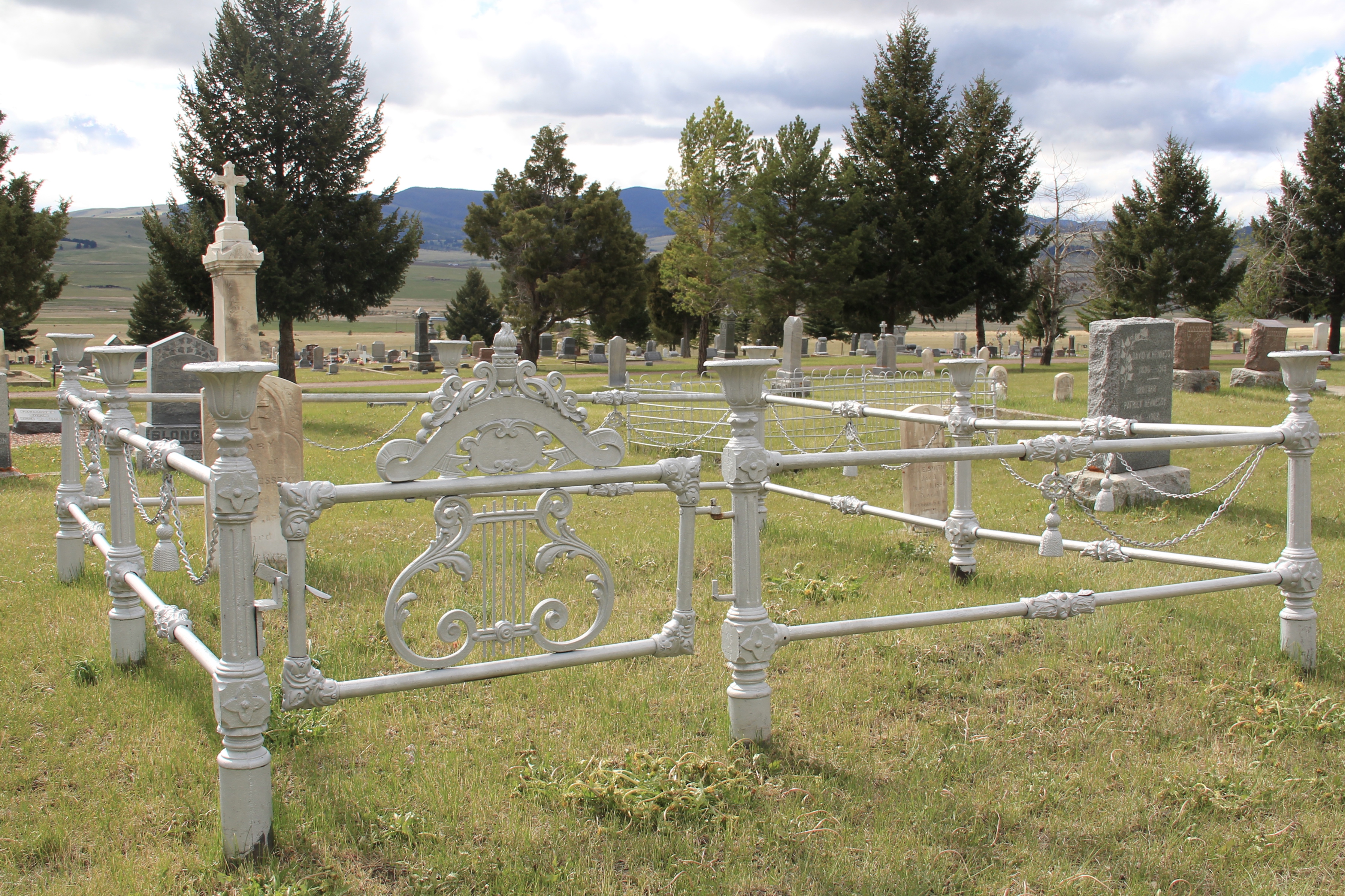
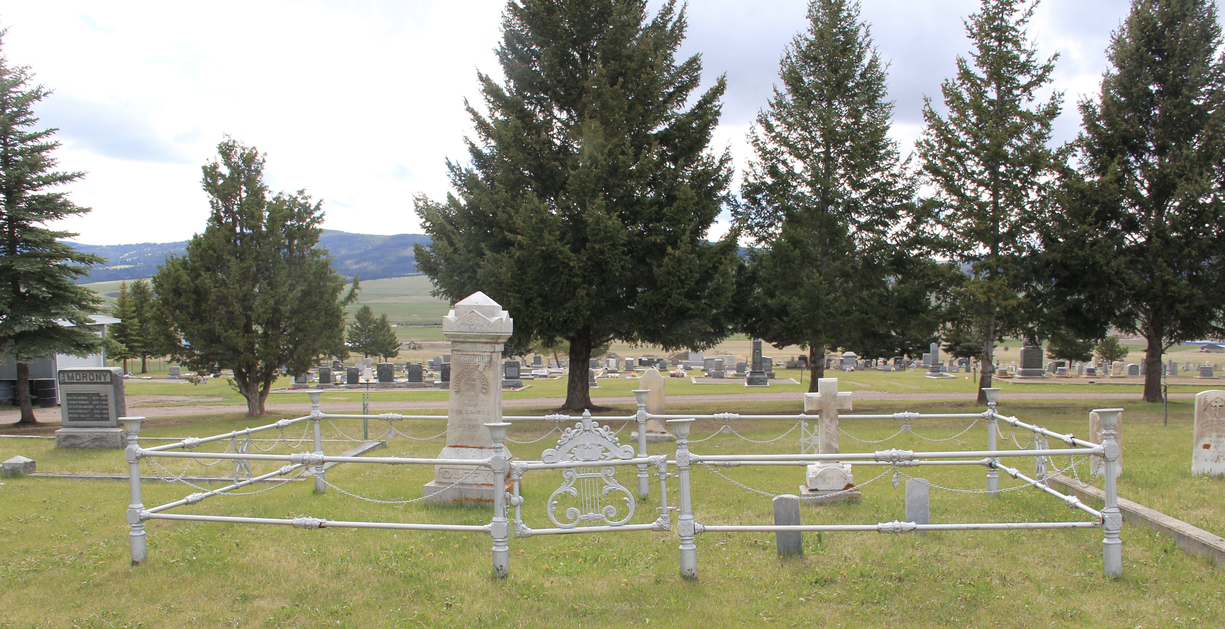 This cast-iron gate, completed with urns on each post and the music lyre gate, is among the most impressive I have encountered in any small town across America. And this cemetery has two separate ones.
 Many grave markers came from local or nearby masons but others, like these for the Schuh and Jennings families, were cast in metal, imitating stone, and shipped by railroad to Philipsburg.


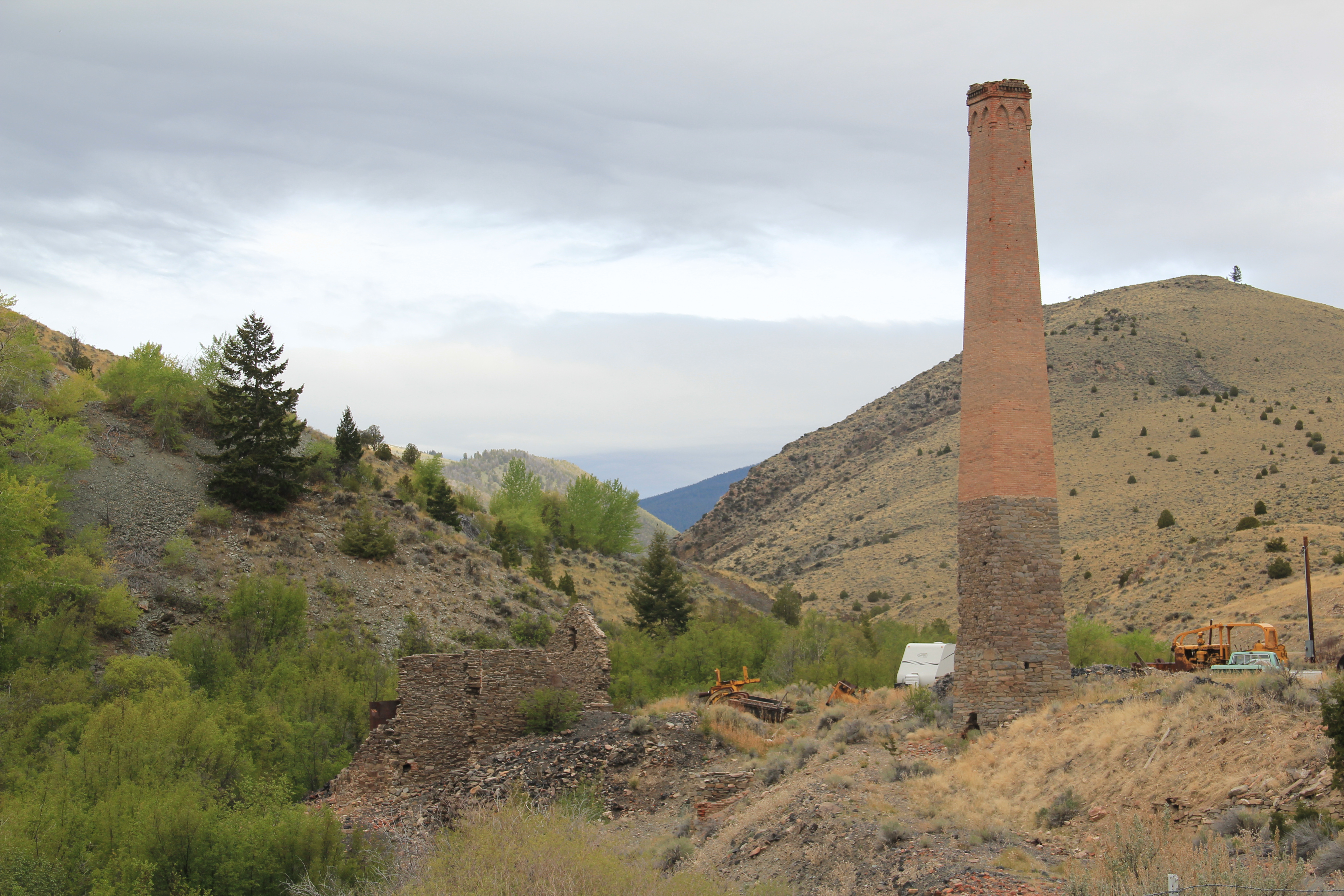 When I returned to Glendale in 2012, I made sure to take a replica shot of the place I had photographed almost 30 years earlier. But I also went father and did my best to document a mining landscape in danger of disappearing in the 21st century. Below is an image when the Hecla smelter was in full production.
 There are some intact buildings at Glendale, but also numerous parts of buildings, facades and foundations that convey how busy the Glendale Road was some 100 years ago.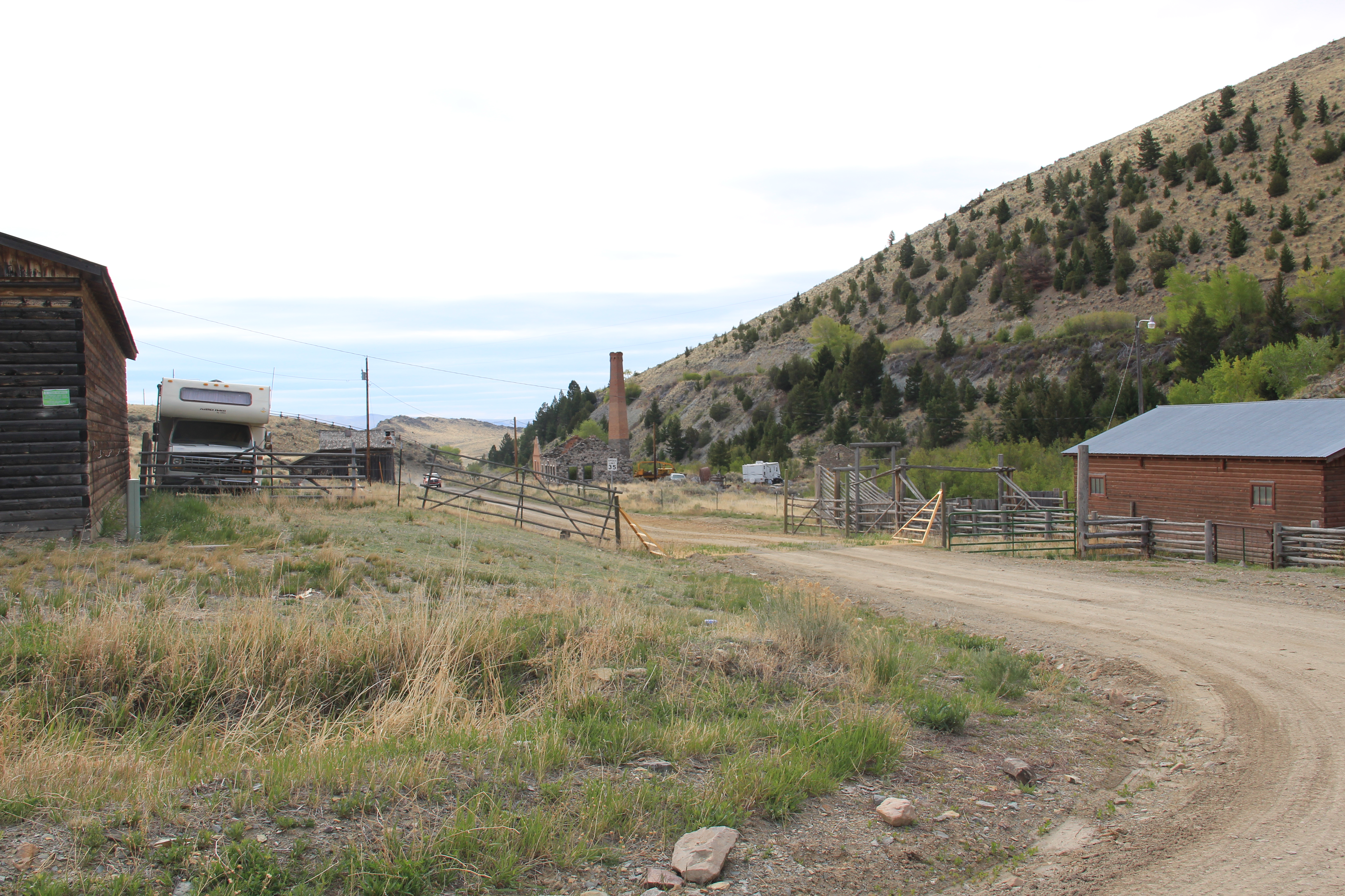


 Hecla Mining Company operated 28 kilns at a site a few miles away. Within the Beaverhead-Deer Lodge National Forest, the Canyon Creek Kilns are a remarkable property, preserved and now interpreted through the efforts of the U.S. Forest Service. The Forest Service should be commended for this effort. As the images below suggest, this property is one of the best places in Montana to stop and think of the mining landscape of the turn of the twentieth century and imagine what a moonscape it would have been 100 years ago when the kilns consumed all of the surrounding timber.


