Back on the Hi-Line: Culbertson

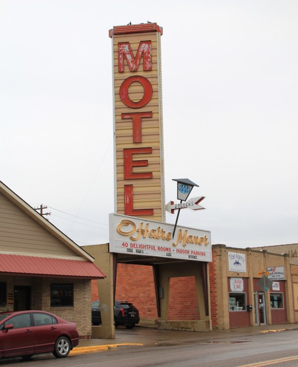
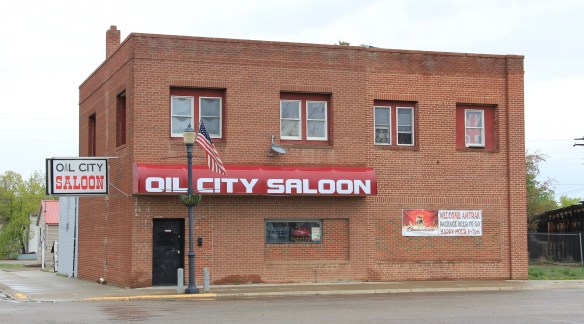
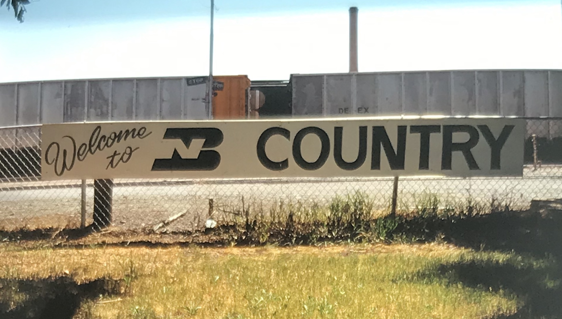
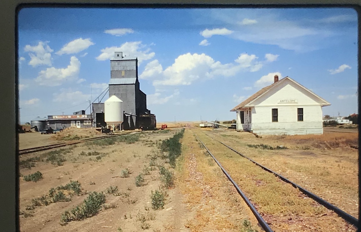
The Hi-Line is Montana’s major northern transportation corridor–first carved by the St. Paul, Minneapolis and Manitoba Railway in the 1880s and then extended by the Great Northern Railway a decade late.  Today most travelers use U.S. Highway 2, which largely parallels the railroad, to traverse the Hi-Line.  The first place you encounter of more than 500 people is Culbertson, established in the 1880s and named for Alexander Culbertson, who was once the factor (the manager) of the Fort Union fur trading post at the confluence of the Missouri and Yellowstone rivers.

Roosevelt Co Culbertson GN depot

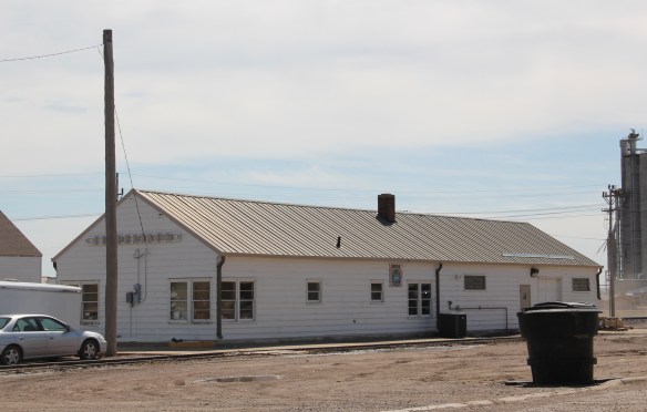
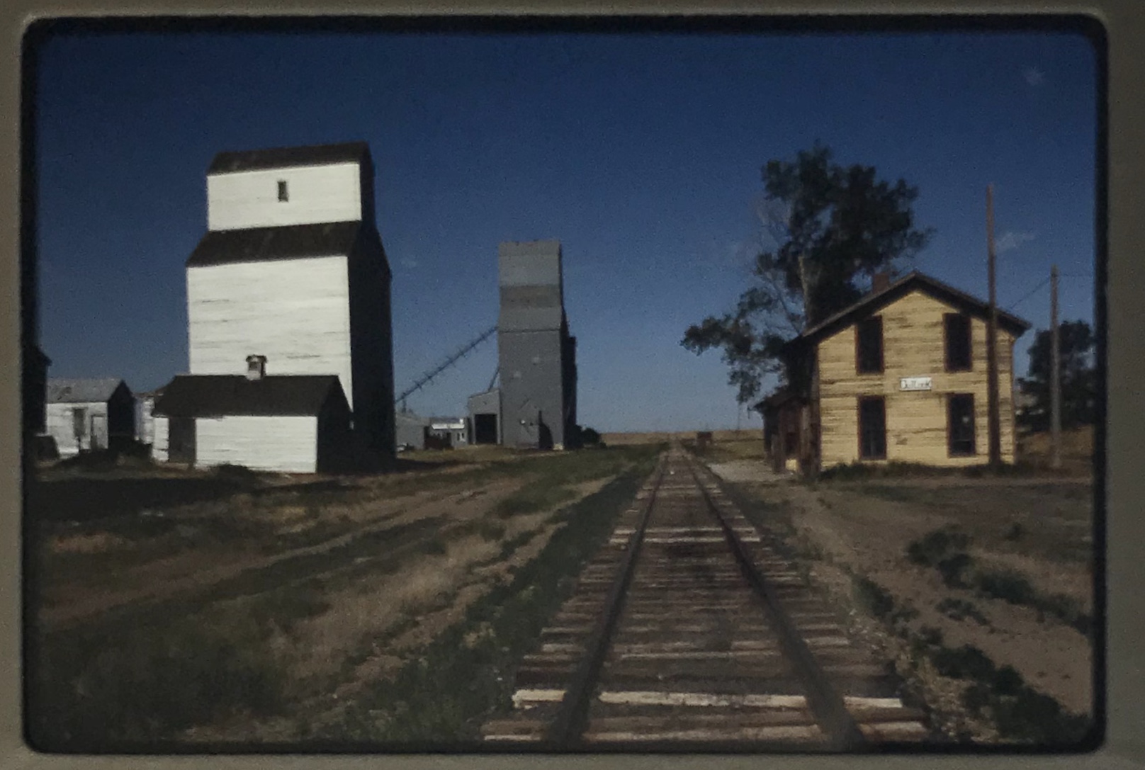
The Great Northern depot at Culbertson

Earlier in this documentary blog on the Montana landscape, I discussed Culbertson as part of the landscape of oil and fracking then taking place in the region.  Today I want to share images of community institutions that link the town’s more than 130 year history to the present.  Historic churches are a good place to start.

Roosevelt Co Culbertson 1st UM Church

The United Methodist Church reflecting a vernacular Gothic type that can be found all across the northern plains in the late 19th and early 20th century.  The Community of

Roosevelt Co Culbertson 11

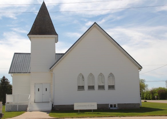
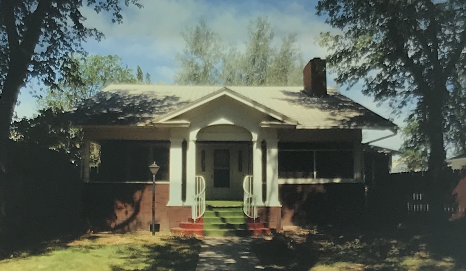
God Church shares that similar vernacular Gothic style and retains its bell tower.  Mid-20th century modern style can be found in St. Anthony Catholic Church.  As regular readers of the blog may recall, I have explored the diocese’s choice of mid-century Roosevelt Co Culbertson St Anthony Catholicmodern style for many Catholic churches in eastern Montana.  The Culbertson church is a good example of that pattern.  Another church that belongs to the modern design era of the 20th century is Trinity Lutheran Church, especially as this distinguished building expanded over the decades to meet its congregation’s needs.

Roosevelt Co Culbertson Trinity Lutheran

Roosevelt Co Culbertson armory 2

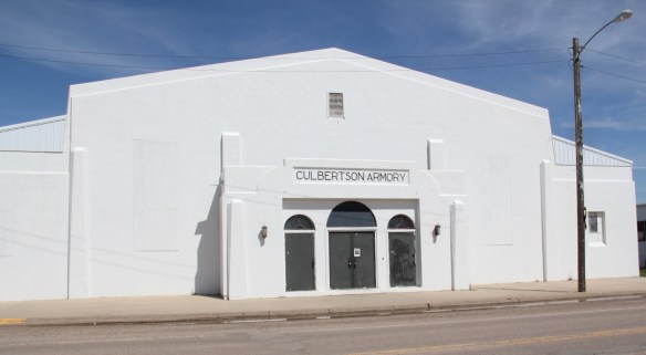
One of the most interesting buildings in Culbertson is the Armory, part of the significant impact that New Deal agencies had on the built environment of Roosevelt County in the 1930s.  Justified as part of the nation’s war preparedness efforts in the late 1930s, so many armories across the country have found second life as public buildings, serving local government and community events.

Roosevelt Co Culbertson armory New Deal

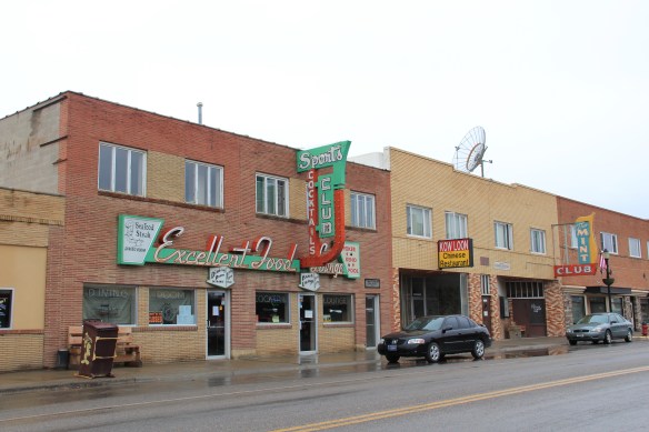
In my earlier post about Culbertson I should have focused more on surviving commercial buildings from the early 20th century–the time of the homesteading boom.  The beautiful cast-iron cornice on the Moen Building (1908) is impressive, one of the best examples of that Victorian commercial style still extant on the Hi-Line.

Roosevelt Co Culbertson 7 C.S. Moen Block 1907

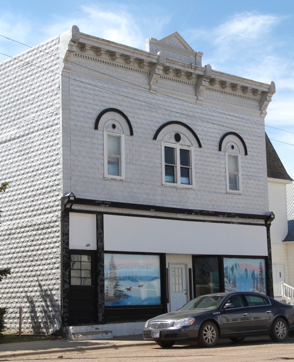
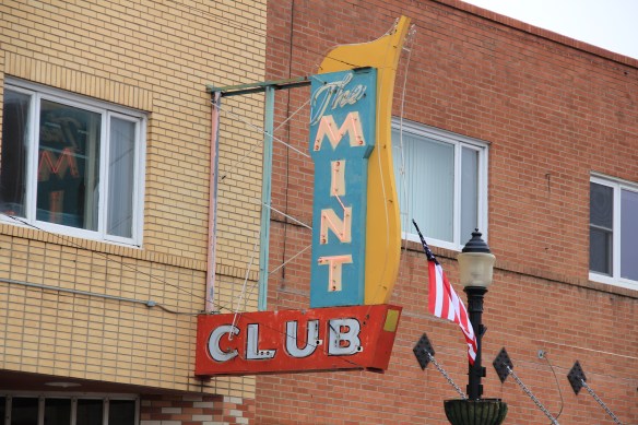
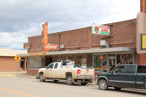
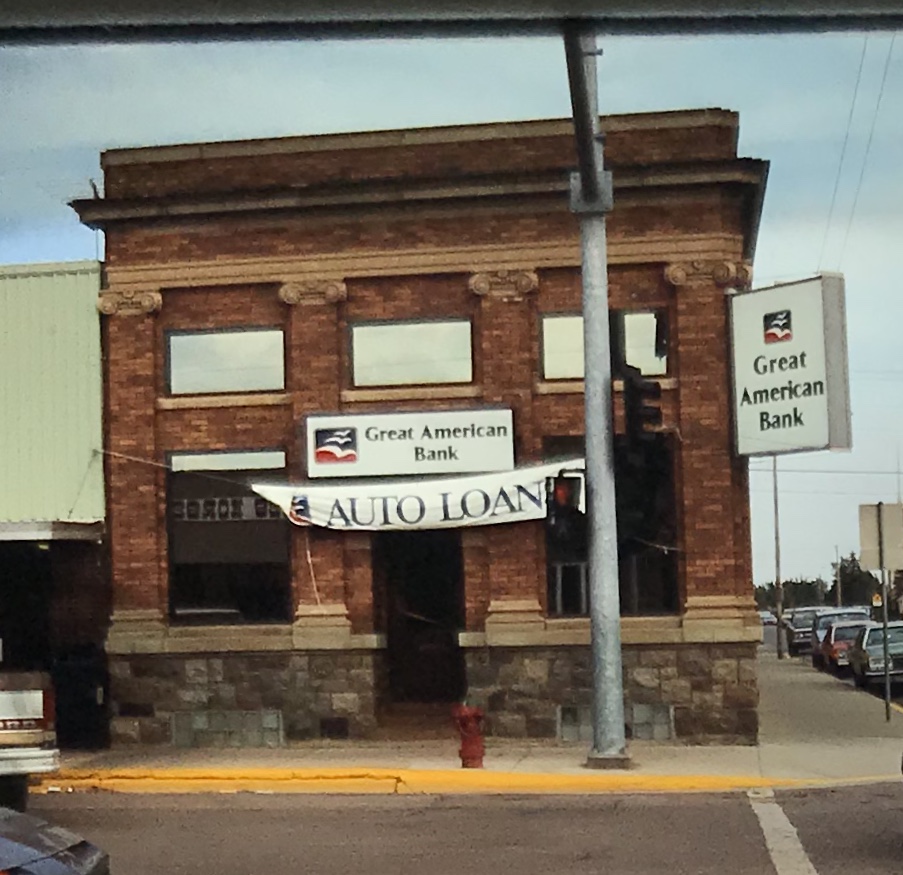
Some of the extant two-story commercial buildings from the homesteading boom show some architectural styling, like the two below, but then a former town bank is impressive in its detail and masonry as any in the region.  Culbertson had high hopes in the 1910s.

Roosevelt Co Culbertson 6

Roosevelt Co Culbertson 4

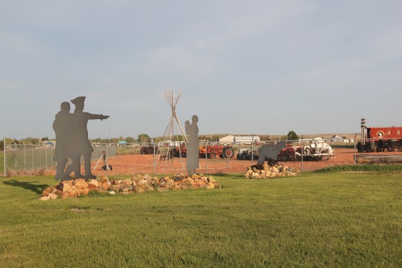
On either side of the town center are two additional important institutions.  The Culbertson Museum serves as a community heritage center but also as a visitor center for travelers entering Montana.  Its outdoor sculpture of the Lewis and Clark Expedition is a reminder to all travelers that traces of the Corps of Discovery can be found along so much of the Hi-Line.

Roosevelt Co Culbertson museum 1

Roosevelt Co L&C sculpture Culbertson museum
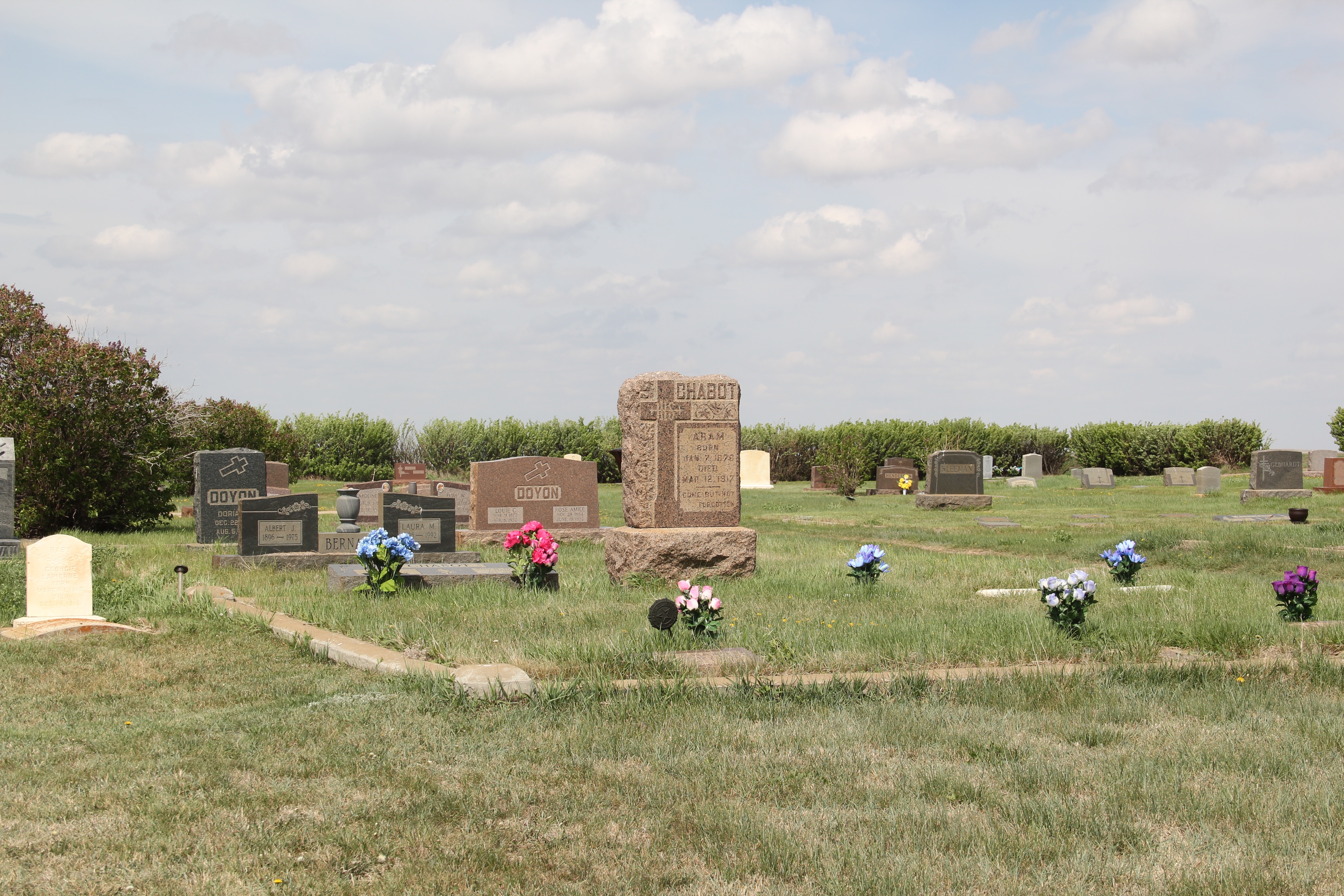
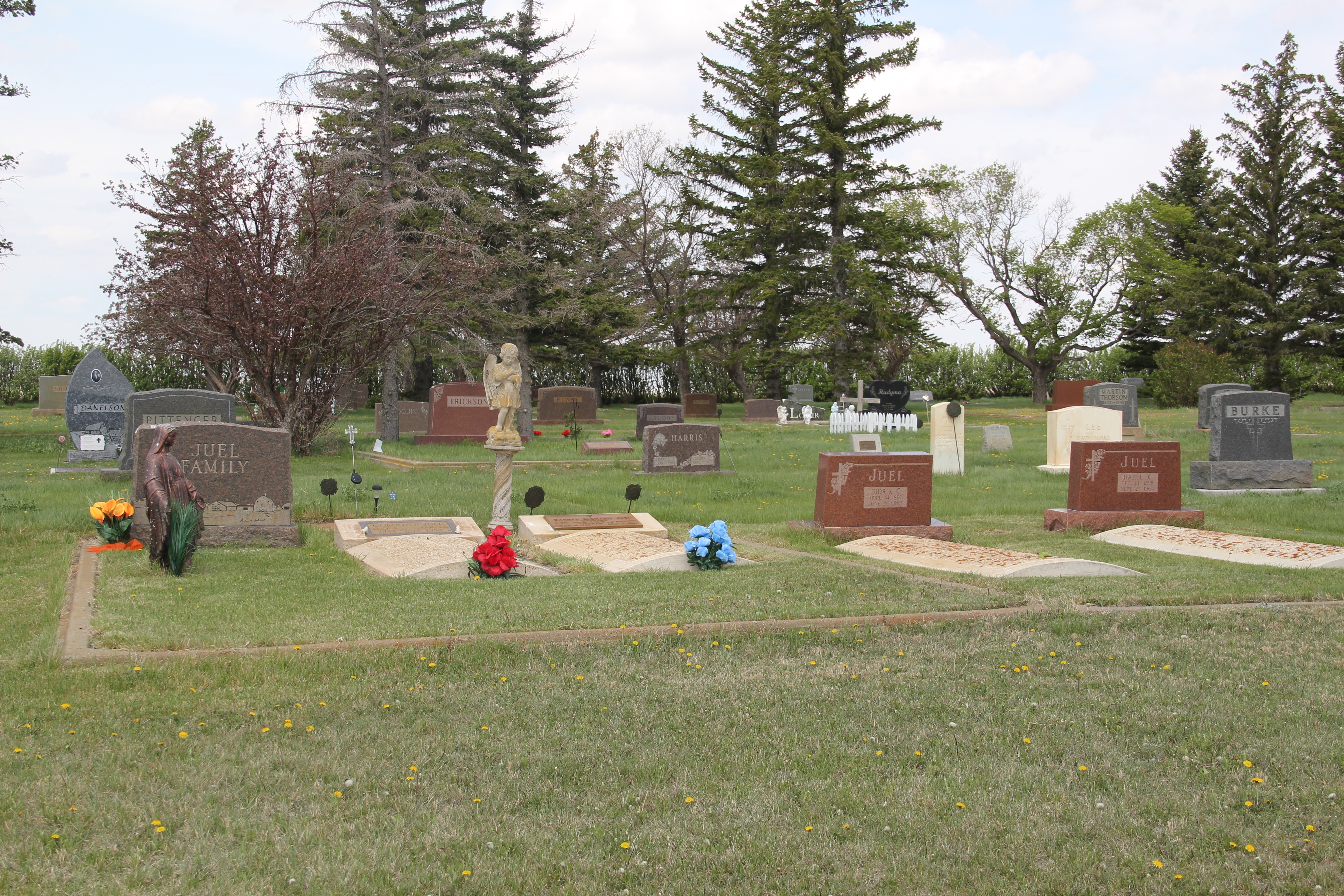
On the west side of town is its historic cemetery, the Hillside Cemetery.  At first glance, it seems unimposing, more quaint that important.  But the cemetery is the oldest historic

Roosevelt Co Culbertson cemetery

Roosevelt Co Culbertson cemetery 3

Roosevelt Co Culbertson cemetery  2

Roosevelt Co Culbertson cemetery 7

resource in Culbertson, and in fact is the the burial place of two former Union soldiers, one from Illinois and one from Minnesota, who fought in the Civil War.  The markers are a reminder that the mid-19th century roots of Montana are never far away, even at the small town of Culbertson.


Shelby Montana’s historic downtown

Toole Co Shelby sign and BNSF train

As we all have read the newspapers over the last six weeks, it has been doubly sad to learn of the devastation COVID-19 has brought to the people of Toole County, where the town of Shelby is the county seat.  The virus has ravaged most of the United States but the level of its impact on such rural places as Shelby and Toole County has been especially devastating since in places like these everyone does know everyone.  The impact is so direct and personal.

Toole Co Shelby courthouse 4

In this weekend’s papers, reporters stressed how residents are moving forward the best they could, despite the sadness, and fear.  I would expect no less.  I last visited Shelby seven years ago; indeed I made two stops between 2011 and 2013.  Of course people were friendly, helpful, just as they had been when I started my initial Montana survey in 1984 with an overnight program in Shelby at the courthouse.  Imagine my delight to learn in those same news stories that the town had met virtually of course to discuss a pending proposal to place the downtown in the National Register of Historic Places.  I fully agree: the range of buildings along Main Street (historic U.S. Highway 2) has always ranked among my favorite Main Streets in the state.

Toole Co Shelby Main St 2 roadside bars

Let’s me share today views of the downtown commercial buildings that I took in 2011 and 2013.  They reflect the impact of the 1920s oil boom on the town and county–so many date to those decades–but as a group they also show how Shelby grew in the early to mid-twentieth century on both sides of the Great Northern Railway that passed through the heart of town, with its historic depot still serving passengers on the Empire Builder today.

Toole Co Shelby depot

The range of roadside architecture in the tavern, restaurant, and motel signs is particularly significant–in so many other places these touchstones of mid-century commercial design have been lost.  But I also like the unpretentiousness of the buildings, and the commercial district they create.  The architecture in that way reflects the residents themselves:  flashy if you want it, but also solid, grounded, and ready to face what comes their way.

2011 MT Toole County Shelby bar 010

Toole Co Shelby Main St roadside

Toole Co Shelby Main St 3 Mint Club bar

2011 MT Toole County Shelby bar 013

2011 MT Toole County Shelby bar 009

Toole Co Shelby Main St 4 Deco

Toole Co Shelby bar n of depot

The downtown district would add much to the National Register of Historic Places.  Shelby was already represented by a historic garage and the original City Hall, recently a visitor center, that was built for the famous Fourth of July 1923 heavyweight

bout between Jack Dempsey-and Tommy Gibbons.  But these additions tell its full story of commercial growth in the age of the highway.  I hope the project moves smoothly forward–Shelby and Toole County deserves that break, along with many, many others as they fight back against the scourge of our time.


Arriving in Montana, 1981

It is difficult to believe that it has been 39 years since I first arrived in the Big Sky Country. I came with my newlywed wife’s job. She had been born in Billings; her dad was an oil geologist. She had lived everywhere but was eager to start her new position with the Montana Historical Society.

You could say I was being taken for a ride: exactly the sentiments of my family and friends in Tennessee. But what a ride it turned out to be. I was eager to see this land that I had read about—not studied; I was not then a “western” historian. That tag only came as I learned from the people, communities and landscape of Montana.

The Big Sky floored me as did the sense of true ruralness. My family never cared one whit my comment, hey Tennessee doesn’t have rural spaces compared to Montana. (They got it once they visited.)

Wildlife dominated here, back in 1981, adding to the sense of the wild, the untamed. And I knew that history was here. Like every other white schoolboy I had heard of and read about George Armstrong Custer. The first place I stopped in Montana was then known as the Custer Battlefield National Monument. Like hundreds of thousands before, I took my first image of a Montana historic site—the last stand hill.

Soon thereafter we arrived in Helena, moving into a second floor apartment in a historic brownstone, the Chessman Flats from the late nineteenth century. The vernacular Victorian style of the building was my second Montana historic site. Little did I know that the vernacular, the commonplace of western history, rather than the well worn stories of old, would capture my eye, and chart a course I never had imagined possible.

Castle City in 1985

Castle City is another compelling historic ghost town in Meagher County. The landowners have been gracious stewards and you can see several buildings from it’s heyday as a silver mining boom town in the late 19th century, when the population for a few months reached well over a thousand.

These images are from 1985, made during my study of the Montana landscape for the state historic preservation plan. I will use a couple as part of my opening presentation about central Montana, then and now, before the field study trips I’d the Montana Preservation Alliance Roadshow, scheduled for White Sulphur Springs in June 10-12, 2020.

I hope to visit Castle, if only for a few moments in the summer of 2020 to see what remains of this forgotten landmark.

Glendive in 1988: historic homes

I was always impressed with the range of late nineteenth century to mid-20th century homes in Glendive. During my 1988 visit I took several photos of the historic district as a small town example of American domestic architecture.

Bungalows of all types: note the rustic stone work at 607 N. Meade (above)

Or the Tudor-style stick work detail of 808 N. Meade (above) and at 802 N. Meade (below) and 907 N. Kendrick (second below) and 822 N.Kendrick (third below).

I really like the Craftsman style of the bungalow at 710 N. Meade (below) and then the classical entrance to the bungalow at 615 N. Meade (second below).

Classic style is found at several other Glendive homes such as 621 N. Meade (below) and at 503 N. Kendrick (second below).

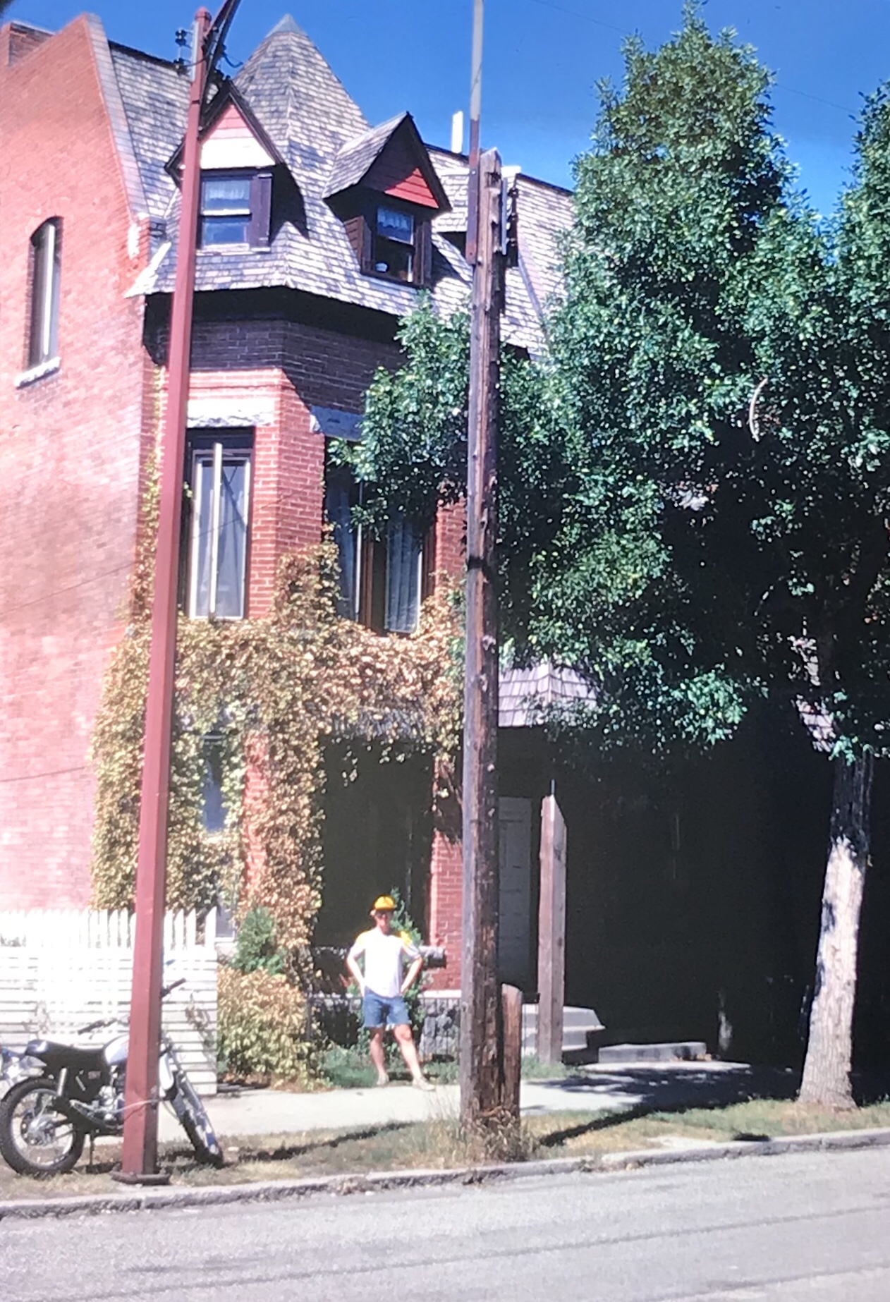
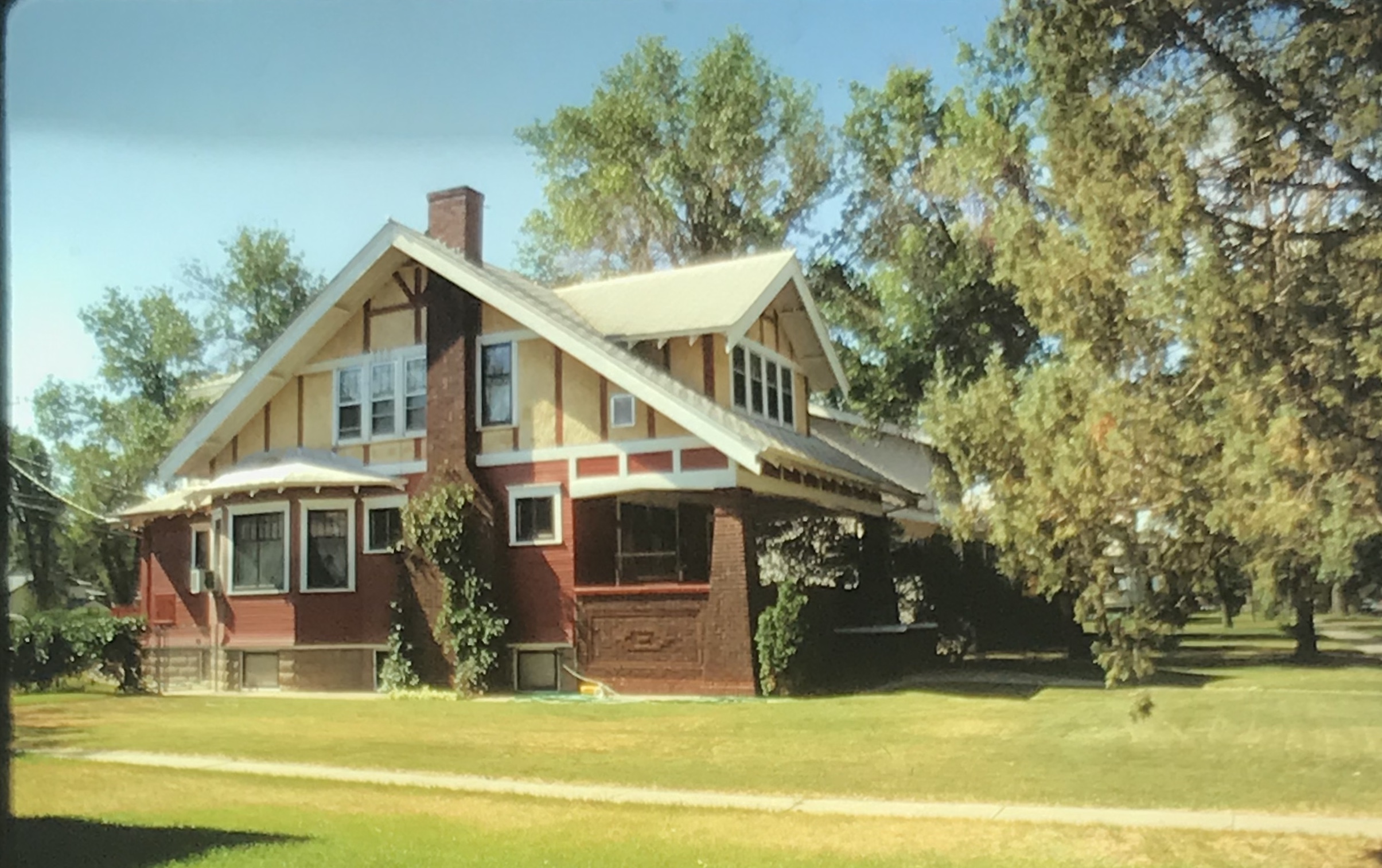
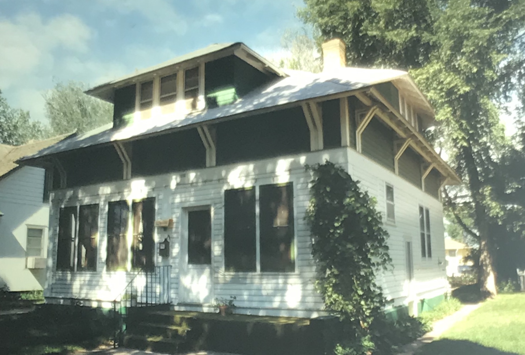
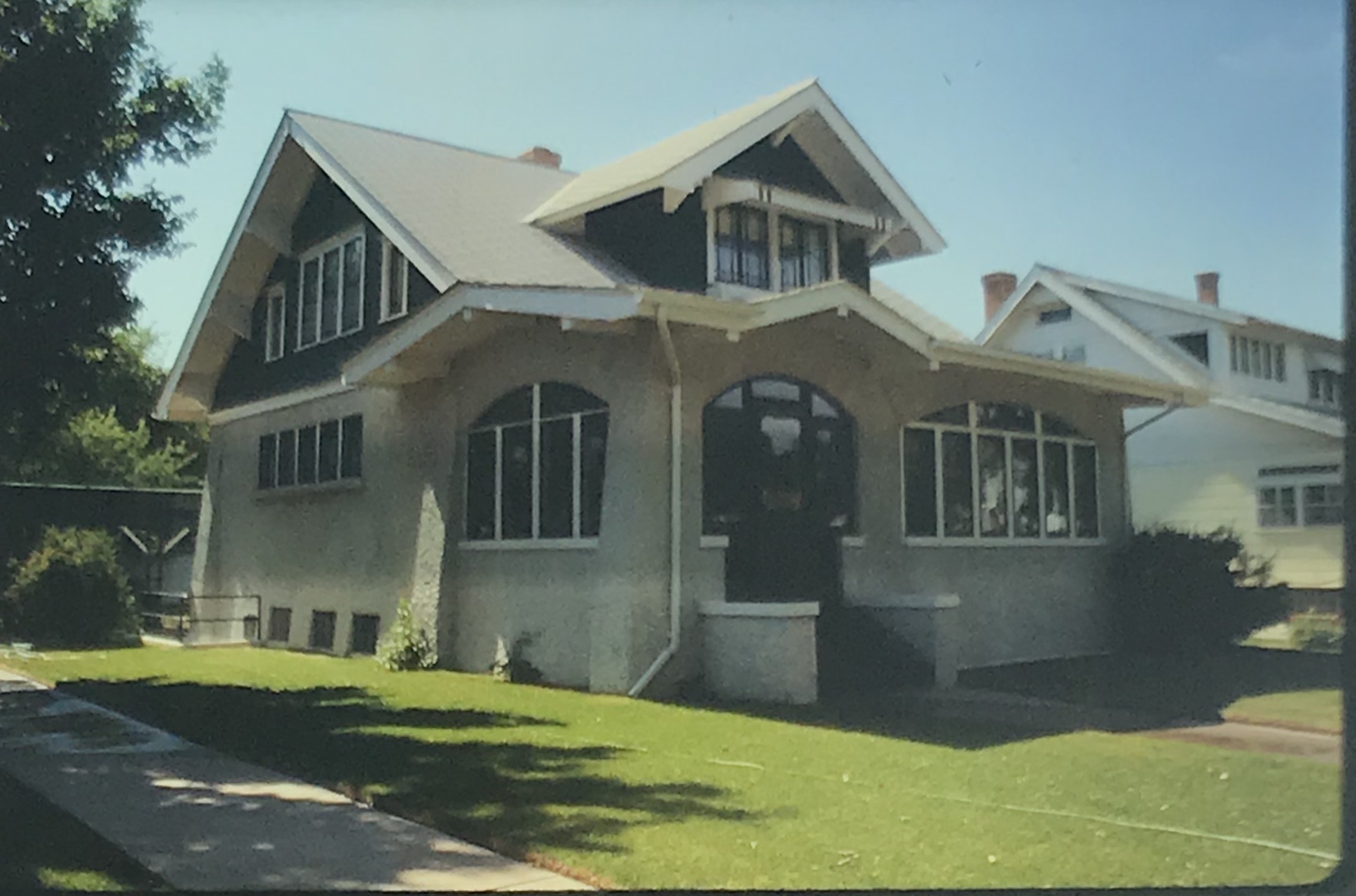
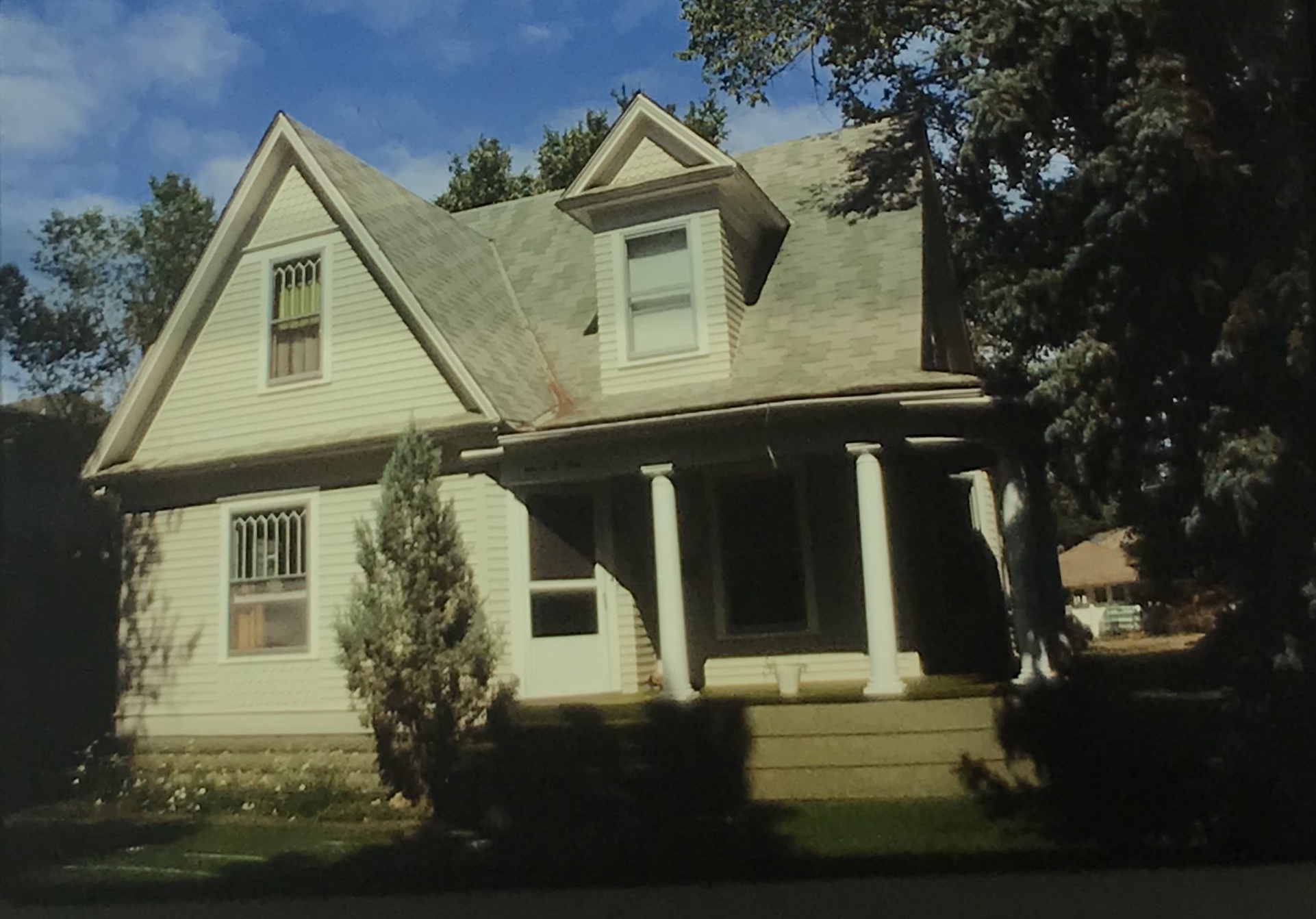
The earlier homes in the district are mostly Victorian in style and form, like the dwellings at 707 N. Meade (below) and 709 N. Kendrick (second below), the most Queen Anne style dwelling that I recorded in 1988 in Glendive.

But not everything is what you would expect in historic Glendive. At 817 N. Kendrick is an understated Spanish Colonial Revival house and then just a few houses away is a quirky but delightful mid-century modern design at 802 N. Kendrick (second below), my fav house of all I visited in 1988.

Glendive In 1988: the Business District

In my 1988 work in Montana I sought out Glendive and spent the night there due to a new research project on the Yellowstone Valley (which would yield the book Capitalism on the Frontier in 1993). Glendive was a division point on the Northern Pacific Railroad and some 100 years later it remained a key to the Burlington Northern Line.

A good bit of the historic machine shops (above) still operated in 1988. The depot and railroad offices still dominated the Merrill Avenue business district (below).

The older Northern Pacific lunchroom had been converted to the Chamber of Commerce offices, and visitors center.

Many businesses remained focused on Merrill Avenue, which from the 1910s forward was also the historic route of the Yellowstone Trail and later US Highway 10.

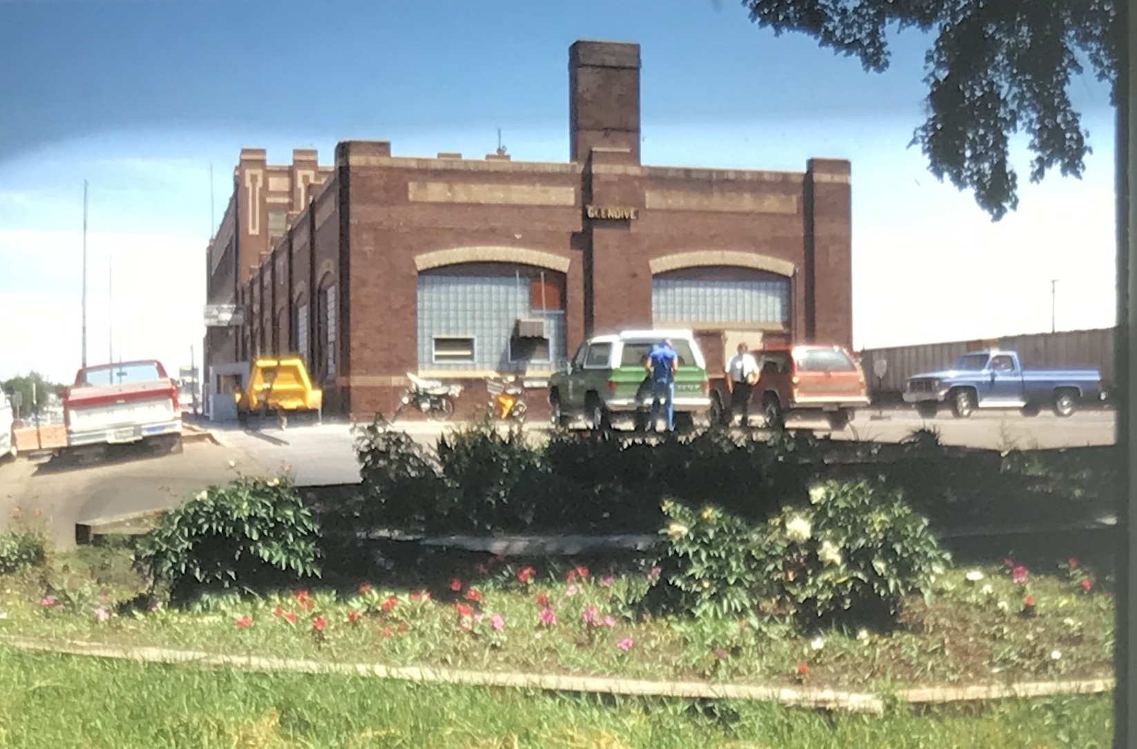
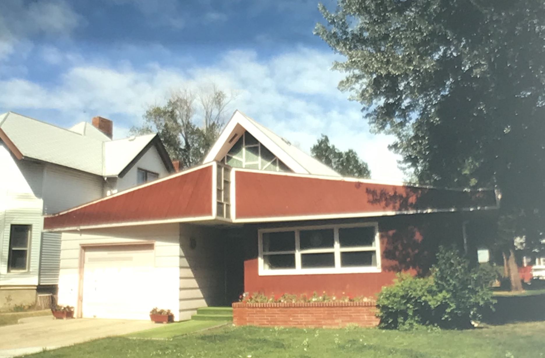
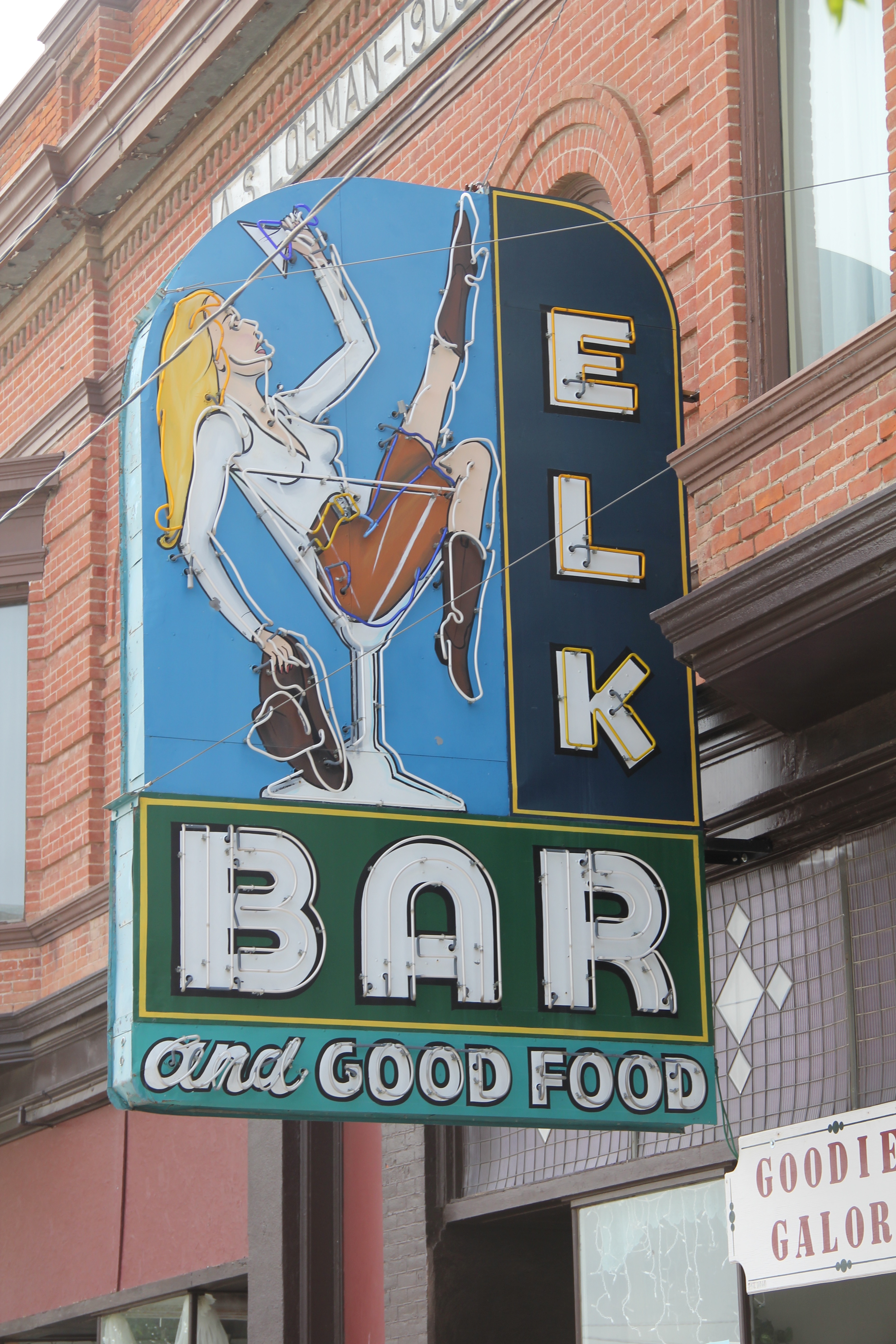
My favorite Merrill Avenue business was the wonderful Art Moderne style of the Luhaven Bar (below). You gots love the black carrera glass and glass block entrance.

Not all architectural delights were along Merrill Avenue. The Dawson County Courthouseis an excellent mid-century modern public building, a real contrast to the town’s traditional Colonial Revival-styled post office from the New Deal era.

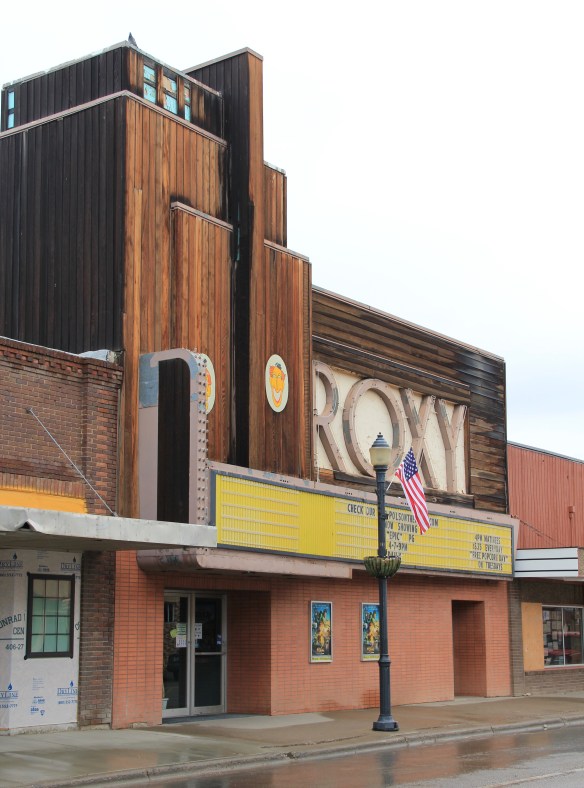
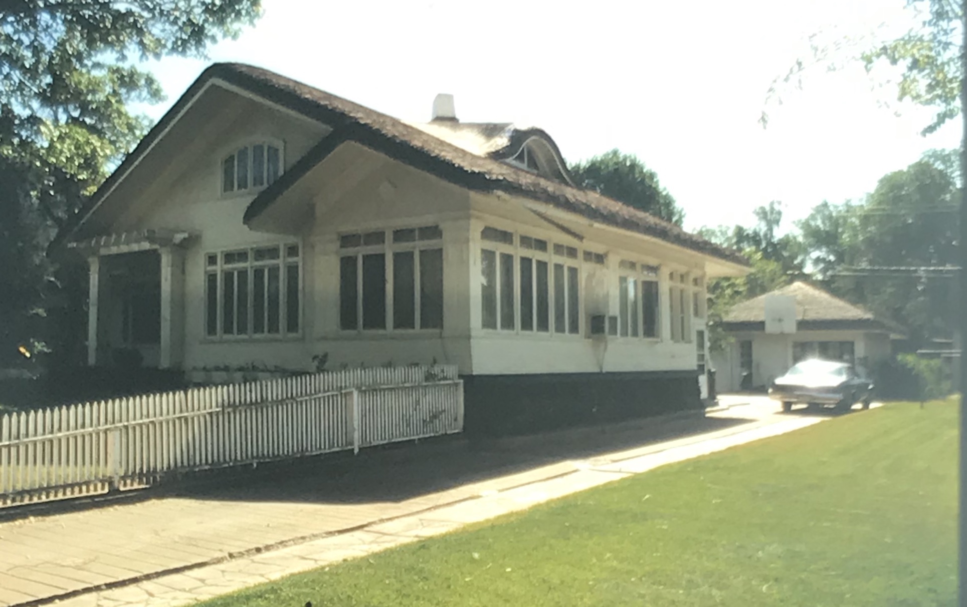
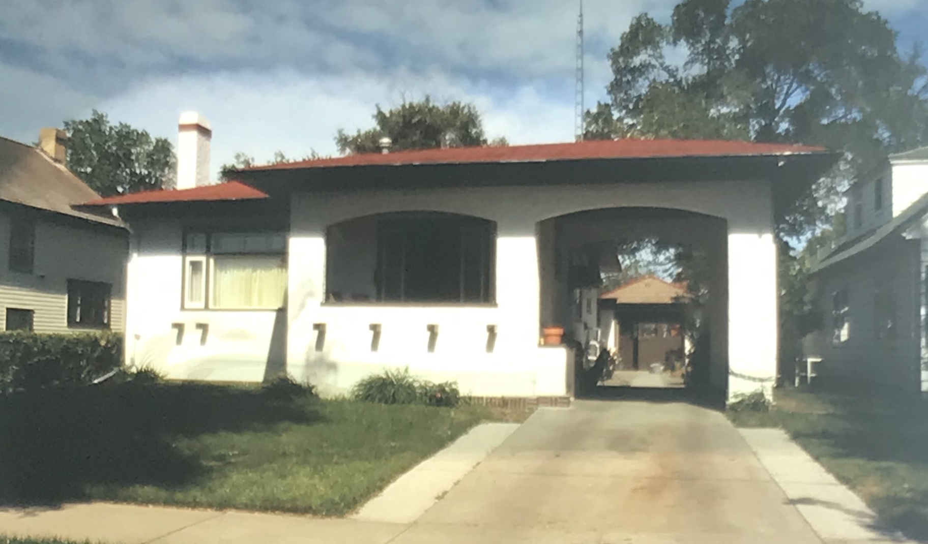
But my favorite modernist building was the First National Bank, which was later converted to the town’s public library.

Next posting will include homes from the town’s residential district from the early 20th century to the mid-century as I continue a look back to the Yellowstone River and its towns in 1988.

Sheridan County In 1988

After my comprehensive work in Montana from 1984-85 I returned in 1988 to revisit and add new places to my visual understanding of the state. Here are most of the color slides I took in Sheridan County on my second trip to Plentywood and environs.

I particularly looked at the railroad corridors–big surprise I know. Above is the Great Northern depot at Medicine Lake and below is a similar combination of Great Northern depot and elevators at Antelope.

The other railroad corridor I wanted to look at was the Soo Line, which operated a short spur line into the county in the early 20th century. I’m glad I did since hardly any buildings exist along this route today. Below is the T-town plan of Outlook.

Outlook in 1988 still had its classic Soo Line combination depot, with both passenger services, baggage warehouse and station office wrapped in one building. Below is the Outlook railroad corridor.

The station was in fair condition then (it is gone now) and I took a couple of images along with a close-up of the two-seat privy.

Other “towns” on the Soo Line had nothing left but deteriorating elevators. Here in 1988 was what was left in Raymond.

In Plentywood, the county seat, I took images of the great fairgrounds sign and the New Deal-era Sheridan County Courthouse.

I also was so happy to see the Orpheum movie theater still in operation.

Finally I always have found it fascinating that at Plentywood’s main intersection stood 3 bank buildings at the three corners–and at Montana’s best known socialist county in the early 20th century.

And in 1988 I also took care to document the town’s Northern Pacific depot. Railroads and banks dominated the county at its founding.

Last scenes: the Flandrem community monument on Highway 16 and a bit of badlands scenery along Highway 5 (the image is from my original trip in 1985, this the bit of snow, taken February 1985).

A return to Cleveland

A delightful story in the Great Falls Tribune this week told of a trip in Blaine County, traveling south from Chinook to the Bear Paws Battlefield and onto the almost ghost towns of Cleveland, Lloyd, and Warrick in Chouteau County.  In my 2013 survey I went along part of this route and it brought back fond memories.  I posted a few images from Cleveland in an earlier post about the Bear’s Paw National Battlefield and its improvements in interpretation in the last 30 years.  Today I will merely post a few additional images from Cleveland–yes, Cleveland, Montana–and my travels from six years ago.

IMG_8348

The Tribune writers are certainly correct–it really is a beautiful drive, passing historic ranches, early 20th century abandoned log homes like the one above, and various buttes and outcroppings punctuating the landscape.  I actually made the drive hoping that the Cleveland Bar would be open, and I could grab a brew and a burger.

MT Blaine County Cleveland Bar

Alas, it was shut down, but still there, and its crossroads on Peoples Creek Road was still the primary mail delivery spot for the scattered ranches of the county’s southern end.

IMG_8350

Across the intersection of Cleveland Road and Peoples Creek Road was the community school, with its teacher dwelling.  I always think how interesting but also how challenging it would be to teach and live at the same place. Should these types of buildings, located in rural communities across the northern plains, be better recognized for their unique contributions to American education and culture?

IMG_8351

But of course the real attraction to Cleveland was the stories I heard in Montana in the 1980s about the Cleveland rodeo, and sure enough the rodeo grounds were a mere stones throw from the back of the bar.

IMG_8353

IMG_8352

IMG_8349
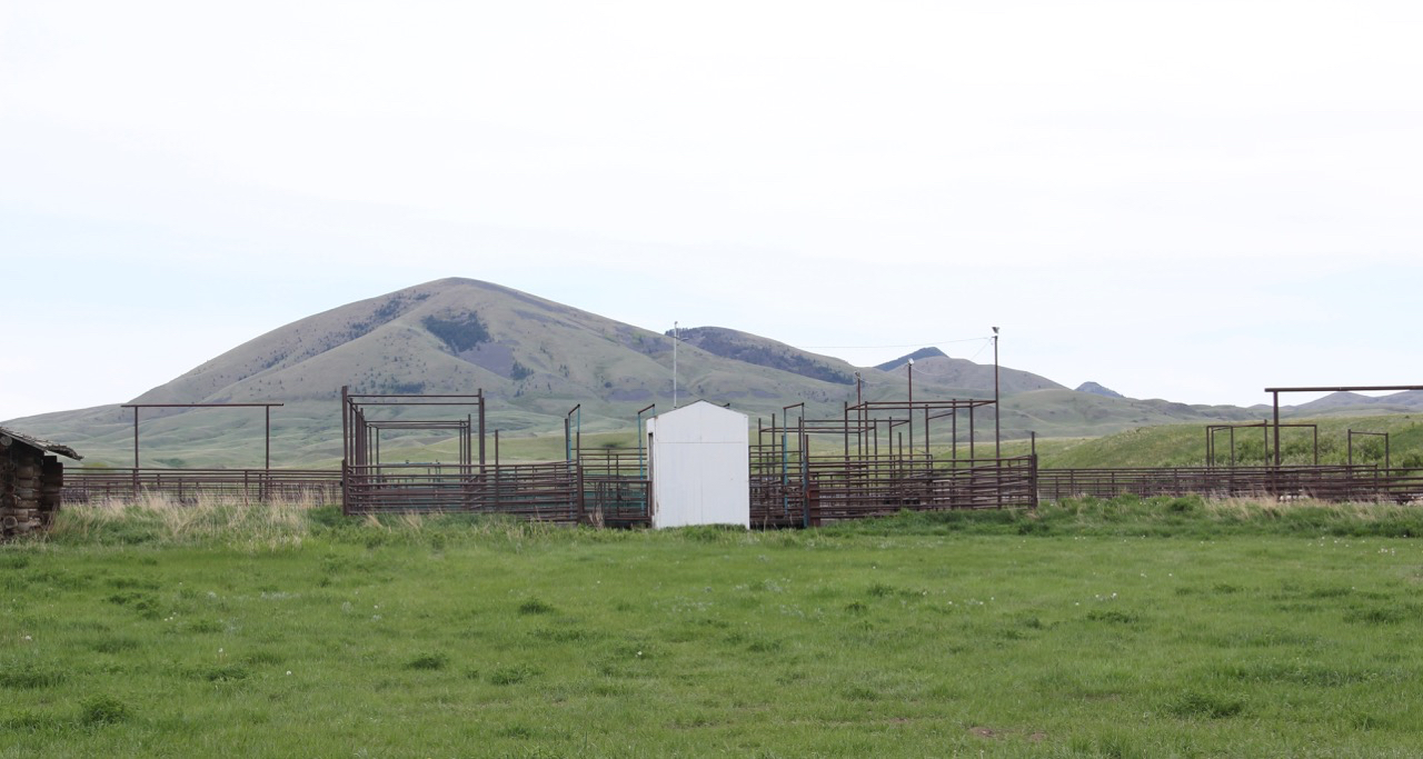
Another traveler has posted a wonderful montage of the July 4, 2011 rodeo at Cleveland–truly a community affair.  I wish that one day soon I can return when the chutes and corral are teeming with livestock and ranch families from miles around gather for an annual event, whose origins stretches back to the early settlement of Blaine County.


Pointing the Way

IMG_0084.JPG

Montana Highway 87 at the state’s border with Idaho

It’s time to find your way to the Big Sky Country, for whatever your route, you will find a warm welcome of signs, of all sorts, whether you are traveling by motorbike, automobile, truck, or taking the grand Amtrak route across the northern counties, Montanans will make sure you know where you are.

Phillips Co Malta GN depot sign

IMG_2668

U.S. Highway 212 coming at the border with South Dakota.

Valley Co Opheim sign

Entering Montana via Montana Highway 24 from Canada.

Valley Co Frazer 1 sign

There’s certainly a cast of characters to encounter, from the Vikings at Opheim and the bear cubs at Frazer (above) to giants walking across the land at Rockvale (below) or even fur traders immortalized in

IMG_2799
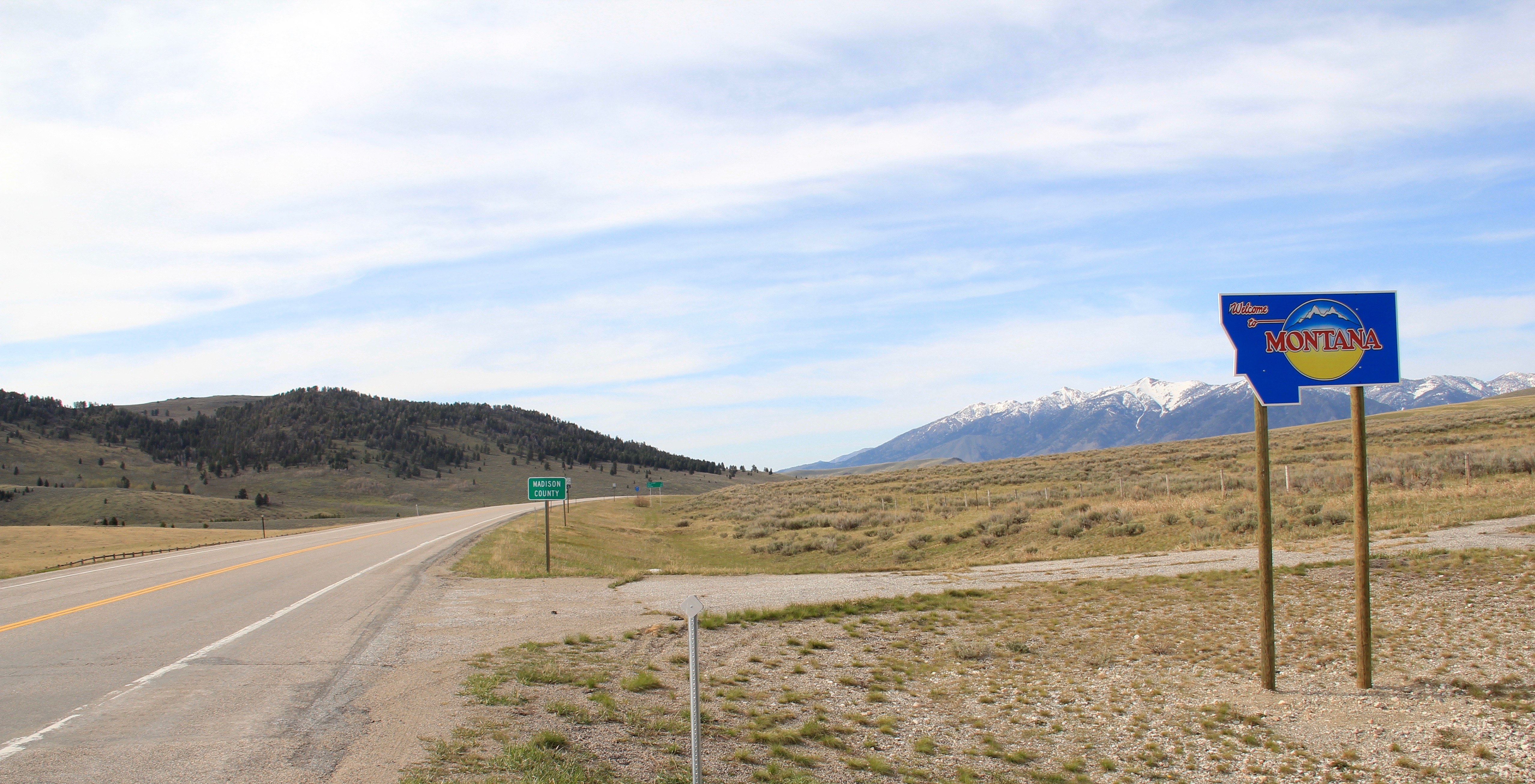
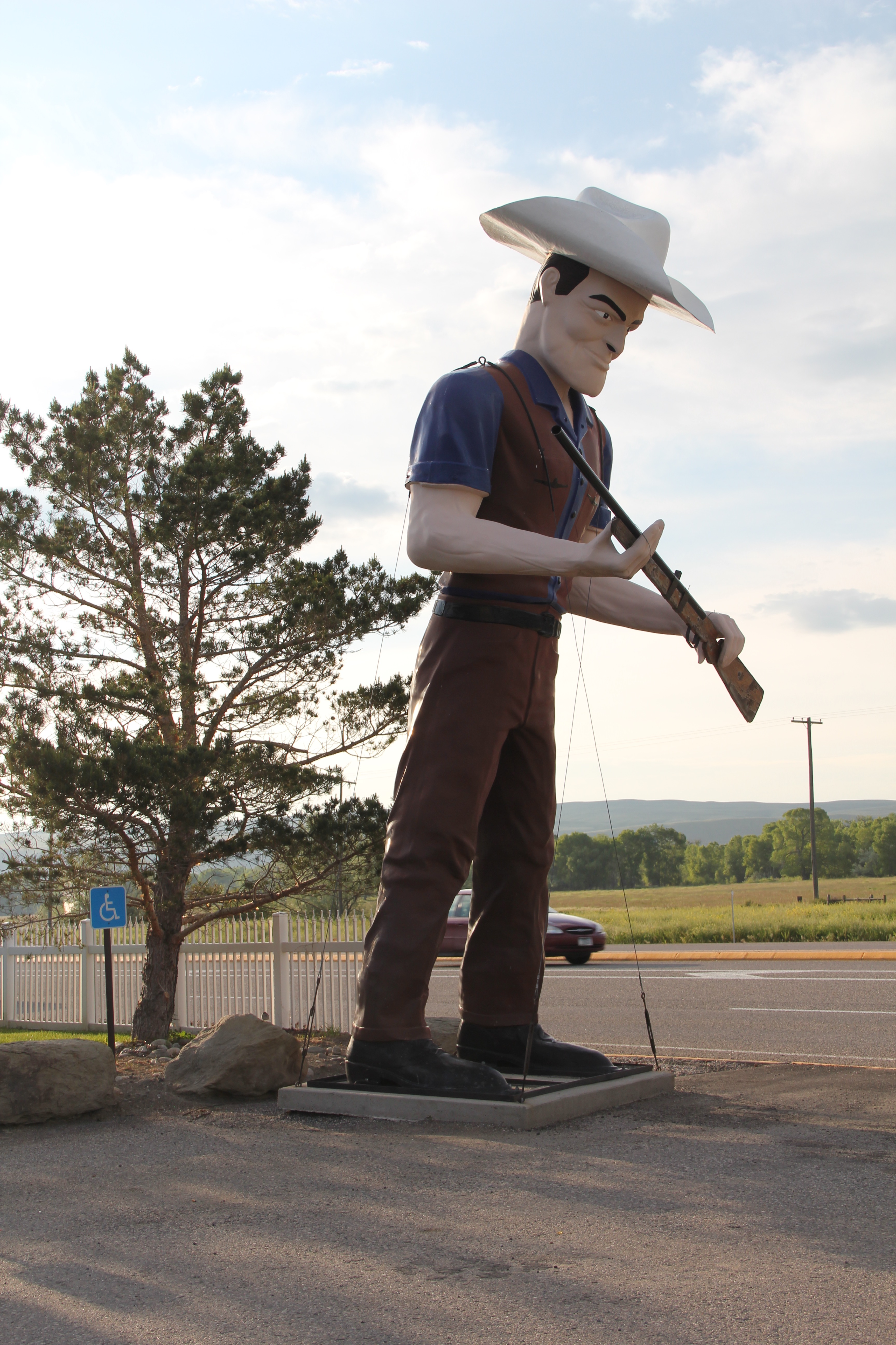
metal like Thunder jack in the Shields Valley on U.S. 89 north of Livingston.  There’s always a wave and friendly greeting!

IMG_1158.JPG

Leave your GPS at home.  There are so many signs, you really can’t get lost, whether you on on the vastness of the plains or traveling between the Blackfeet Reservation and the

Teton Co Pendroy sign US 87

wonders of Glacier National Park, signs will point the way. So head out for Froid–or be willing to explore the curvy roads between prairie and mountains in southern Montana.

Roosevelt Co Froid 1 sign

IMG_2820

Where ever you end up your journey, someone or something will be there to provide essential roadside services, like Little Montana on Highway 200 and even get you to stop

IMG_0029.JPGand consider those who have passed before with the many historical markers.

IMG_0051.JPGThe vastness and diversity of the Big Sky Country is amazing, with so many bridges to

IMG_0079.JPG

Madison County

cross that you can’t go wrong.  Kick up your boots, have a drink, stay awhile, and enjoy!

Blaine Co Chinook Elk Bar sign NR

Eastern Montana County Seats: Scobey

Daniels Co Scobey signs

For whatever reason, readers of Montana’s Historic Landscapes have been very interested in Daniels County, way up in the northeast corner of the state.  In previous posts I have discussed the Daniels County Courthouse–one of my favorites–the county’s historic rural schools and Flaxville, one of the most interesting tiny towns left from the homesteading era in all of eastern Montana.

Daniels Co Scobey 5

Today I want to look back at Scobey, the seat of Daniels County, which was established in 1920 at the end of the homesteading era.  Sometimes it is referred to as the most isolated county seat in America.  But whatever its isolation may be, I found Scobey a relaxing, interesting place, and actually took many images.  But outside of the courthouse, schools, the fairgrounds, and wonderful Pioneer Museum, I did not share much with the readers.  This post changes that.

Daniels Co Scobey 5 library
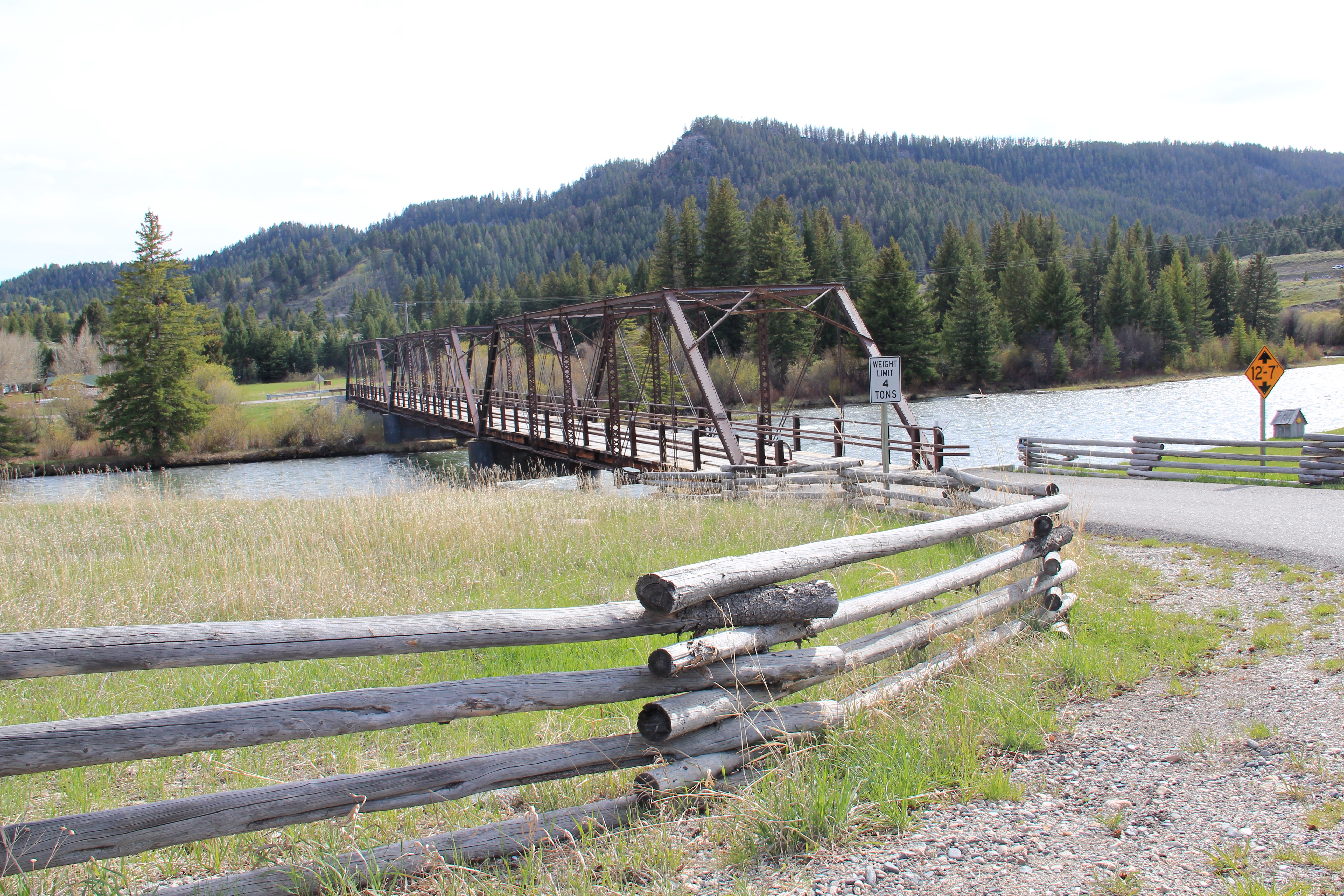
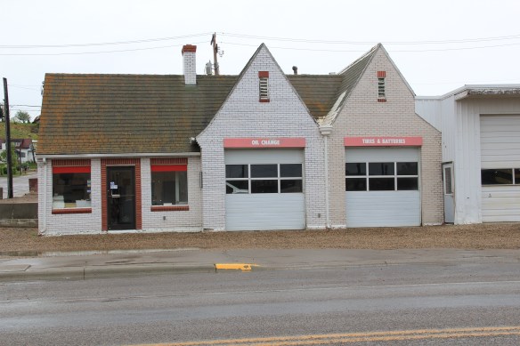
The county library, above, is small but busy, a reminder of how important these public buildings can be.  About 5 years ago, the time of my last visit, Scobey still had its own medical center, below, as well as a distinctive post office, different from many in the region due to its modernist style.

Daniels Co Scobey hospital

Daniels Co Scobey post office

Much of its past remains, and remains in use.  The railroad corridor had changed–the passenger depot was gone, but historic grain elevators still mark how Scobey was a major grain shipping point for much of the 20th century.

Daniels Co Scobey elevators 2

Historic churches have left deep roots in Scobey.  Below are the Scobey United Methodist Church, the Scobey Lutheran Church (which has a wonderful Gothic altar), and St. Bonitus Catholic Church, another example of mid-century modern in the Catholic church buildings of Eastern Montana.

Daniels Co Scobey Methodist

Daniels Co Scobey Lutheran

Daniels Co Scobey St Philip Bonitus

The residential area has plenty of vernacular-styled 20th century homes, most from the first half of the century.  I particularly liked the next two bungalows on Timmons Street.

Daniels Co Scobey Timmons St

Daniels Co Scobey timmons street

Five years ago the business district had clearly weathered the 2007-2008 recession and lots of stores and bars were open, anchored by Independence Bank, another example of 1960s-1970s modern commercial style in Scobey.

Businesses from the first decade of settlement also were part of the “downtown” fabric, such as this historic two-story Masonic Hall and the Pioneer Hotel, which once served as a first stop for homesteaders upon their arrival in Scobey.

Daniels Co Scobey 22

Daniels Co Scobey Pioneer Hotel

There is a persistence in Scobey that is admirable.  The Daniel County Leader, the local newspaper, also has weathered the storm of media change in the 21st century and stands in the heart of town, still undoubtedly serving as a community communication center.

Daniels Co Scobey 9

How I missed these properties in my initial post–well I can’t explain that.  I am sure I had a good reason 5 years ago. But what is really inexplicable to me is why I did not share more of my photos from the Scobey School–especially its football and track field below–

Daniels Co Scobey 1 football

along with more interior images from the Daniels County Courthouse, the one building in Scobey that is listed in the National Register of Historic Places.  Here you see the courthouse’s long hallway (with its National Register sign in the corner), the records vault, the courtroom’s jury box, and the jury room.  Just walking into this place takes me to the beginning years of Daniels County.

Daniels Co Scobey courthouse interior

Daniels Co Scobey courthouse interior 1

Daniels Co Scobey courthouse interior 4

Daniels Co Scobey courthouse interior jury room

One property type many people ask about are cemeteries.  Unfortunately I did not have the time to record every tombstone in these places–another time, perhaps.  But I can add to the blog additional images from the Daniels County Cemetery, which lies outside of Scobey.  These images hardly cover everything but they do document what a special place this tiny county seat is, for residents and for visitors willing to go exploring.

Daniels Co Scobey Cemetery

Daniels Co Scobey cemetery 6

Daniels Co Scobey cemetery 4

Daniels Co Scobey Cemetery 3

Daniels Co Scobey cemetery 1