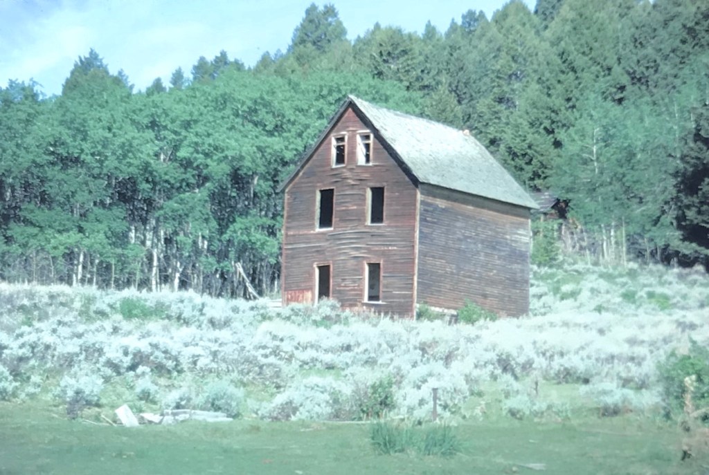
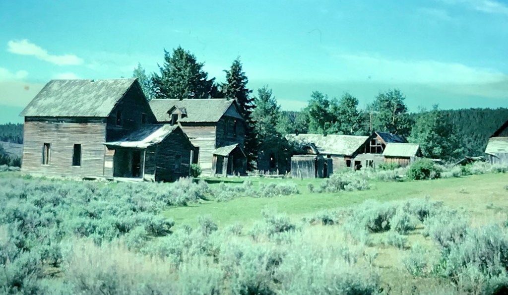
For whatever reason, readers of Montana’s Historic Landscapes have been very interested in Daniels County, way up in the northeast corner of the state. In previous posts I have discussed the Daniels County Courthouse–one of my favorites–the county’s historic rural schools and Flaxville, one of the most interesting tiny towns left from the homesteading era in all of eastern Montana.

Today I want to look back at Scobey, the seat of Daniels County, which was established in 1920 at the end of the homesteading era. Sometimes it is referred to as the most isolated county seat in America. But whatever its isolation may be, I found Scobey a relaxing, interesting place, and actually took many images. But outside of the courthouse, schools, the fairgrounds, and wonderful Pioneer Museum, I did not share much with the readers. This post changes that.
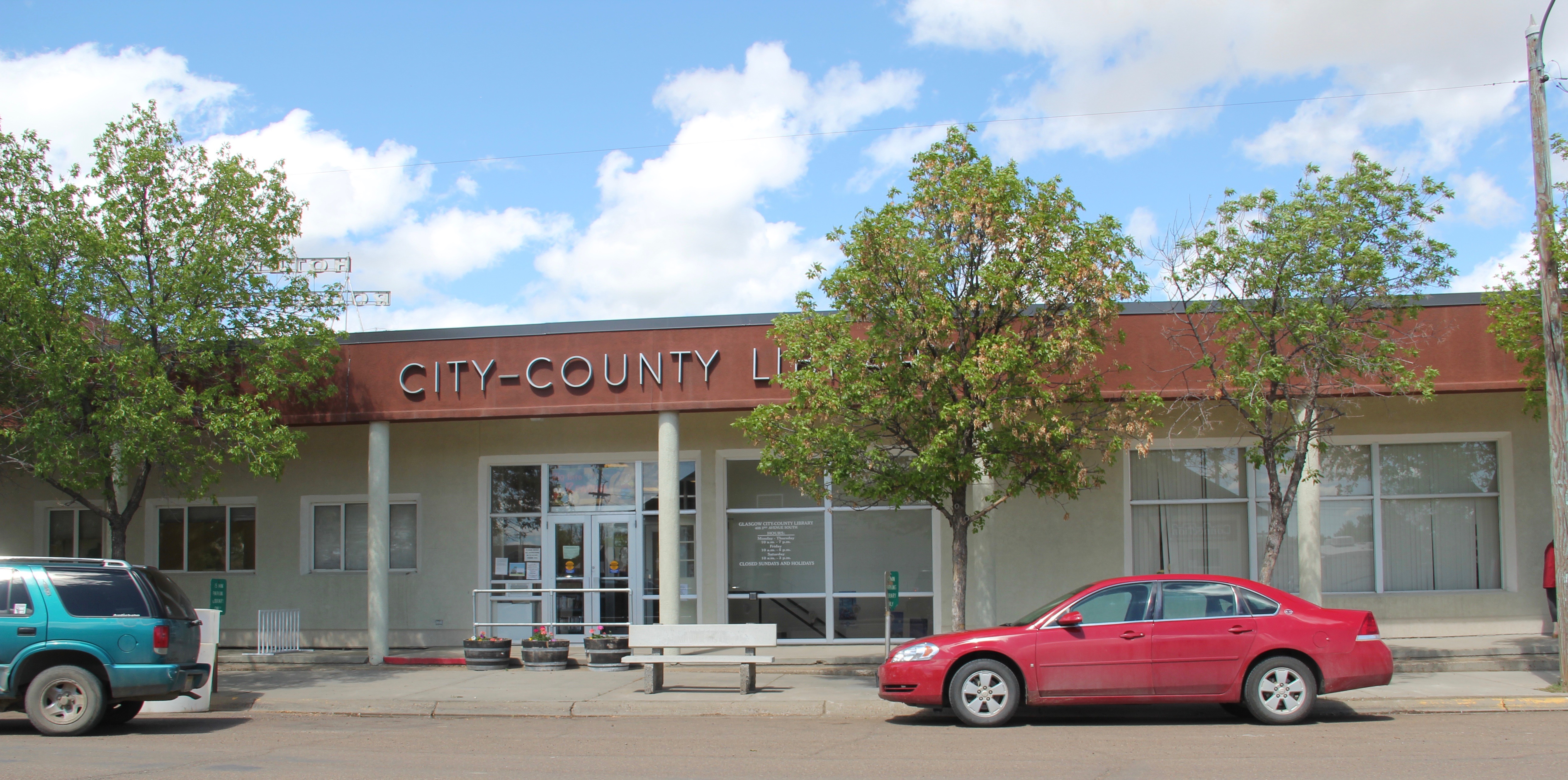
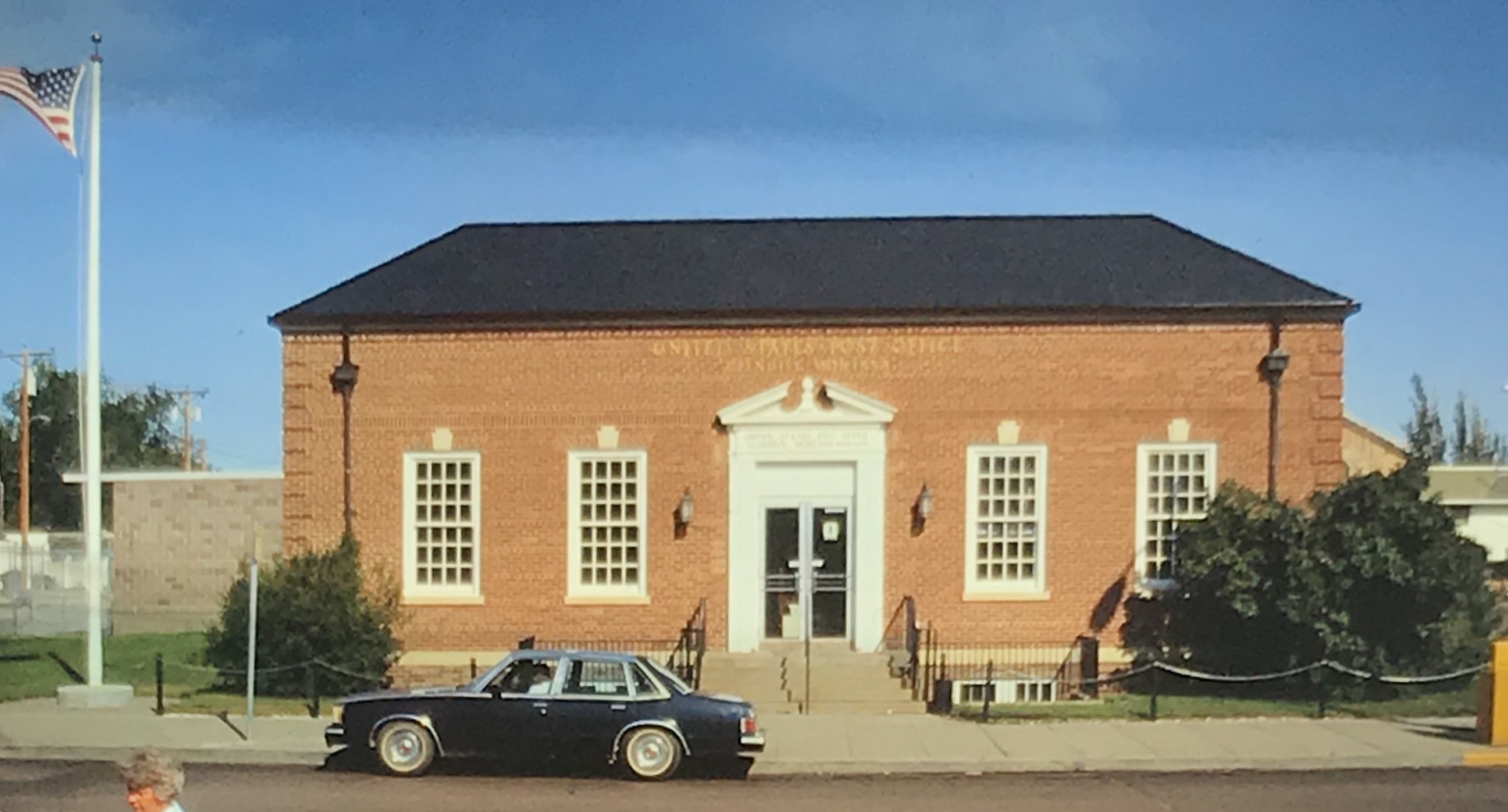
 The county library, above, is small but busy, a reminder of how important these public buildings can be. About 5 years ago, the time of my last visit, Scobey still had its own medical center, below, as well as a distinctive post office, different from many in the region due to its modernist style.


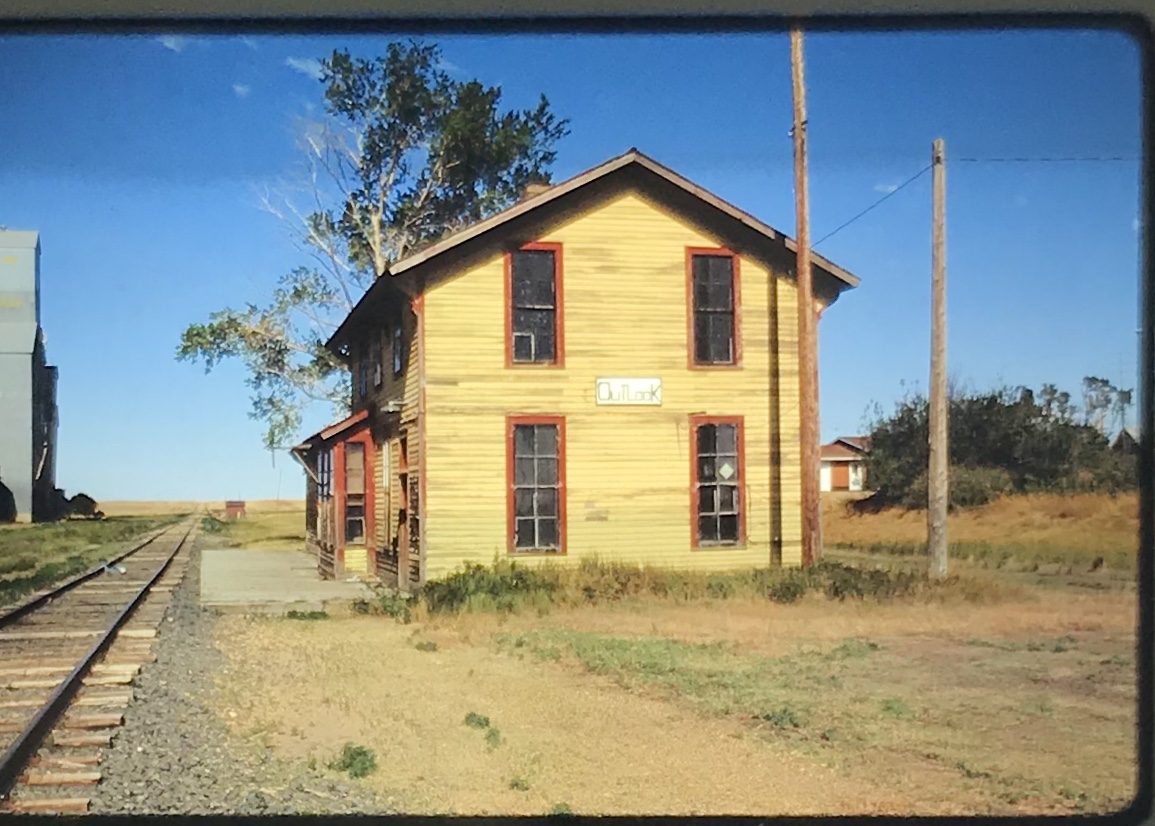
Much of its past remains, and remains in use. The railroad corridor had changed–the passenger depot was gone, but historic grain elevators still mark how Scobey was a major grain shipping point for much of the 20th century.

Historic churches have left deep roots in Scobey. Below are the Scobey United Methodist Church, the Scobey Lutheran Church (which has a wonderful Gothic altar), and St. Bonitus Catholic Church, another example of mid-century modern in the Catholic church buildings of Eastern Montana.


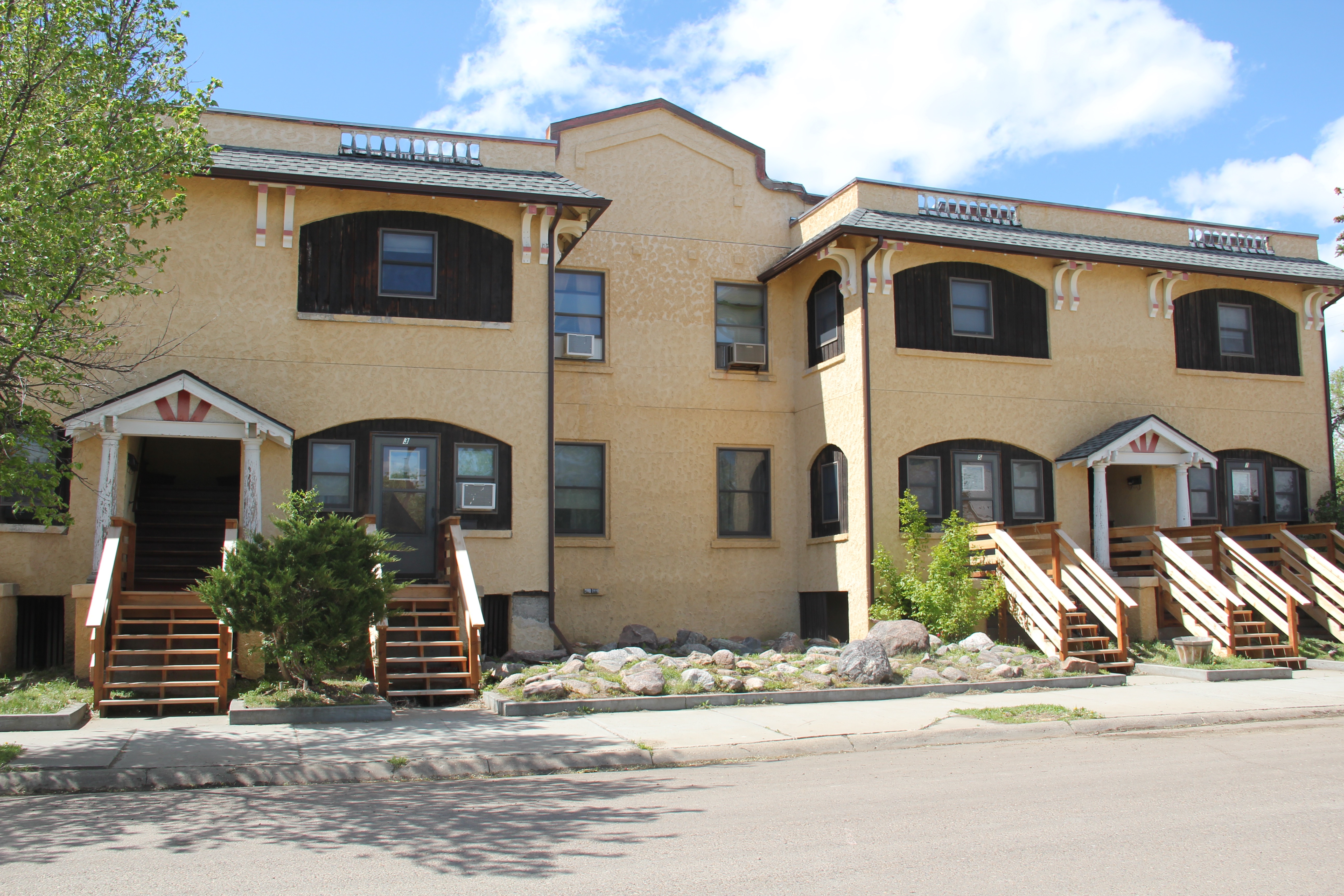
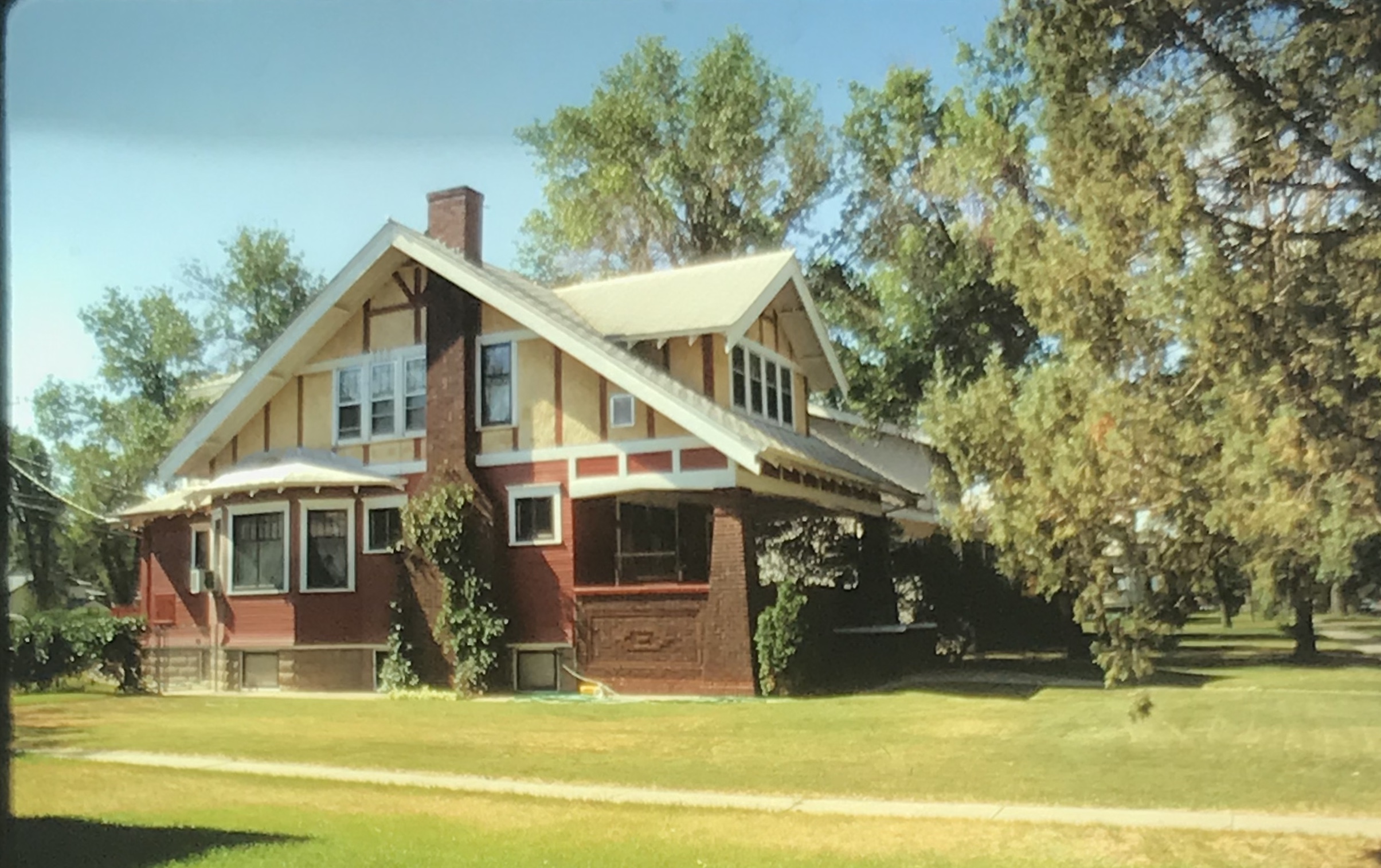
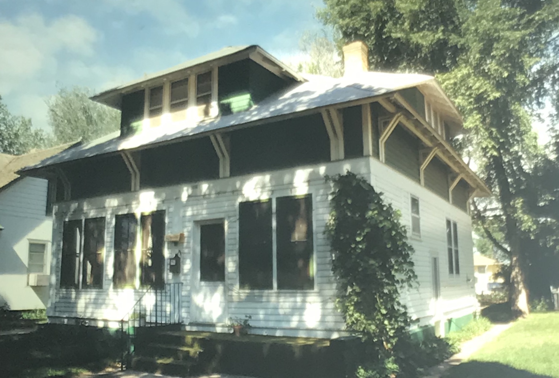
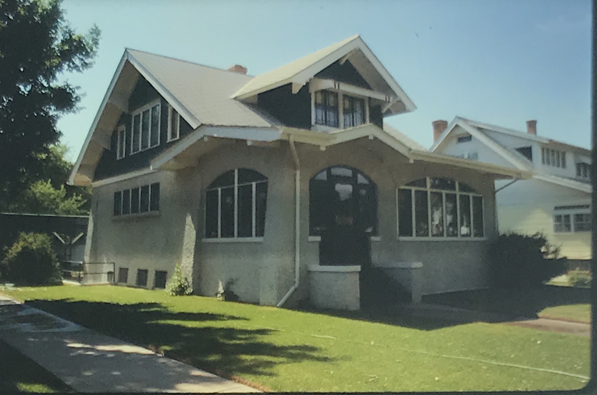
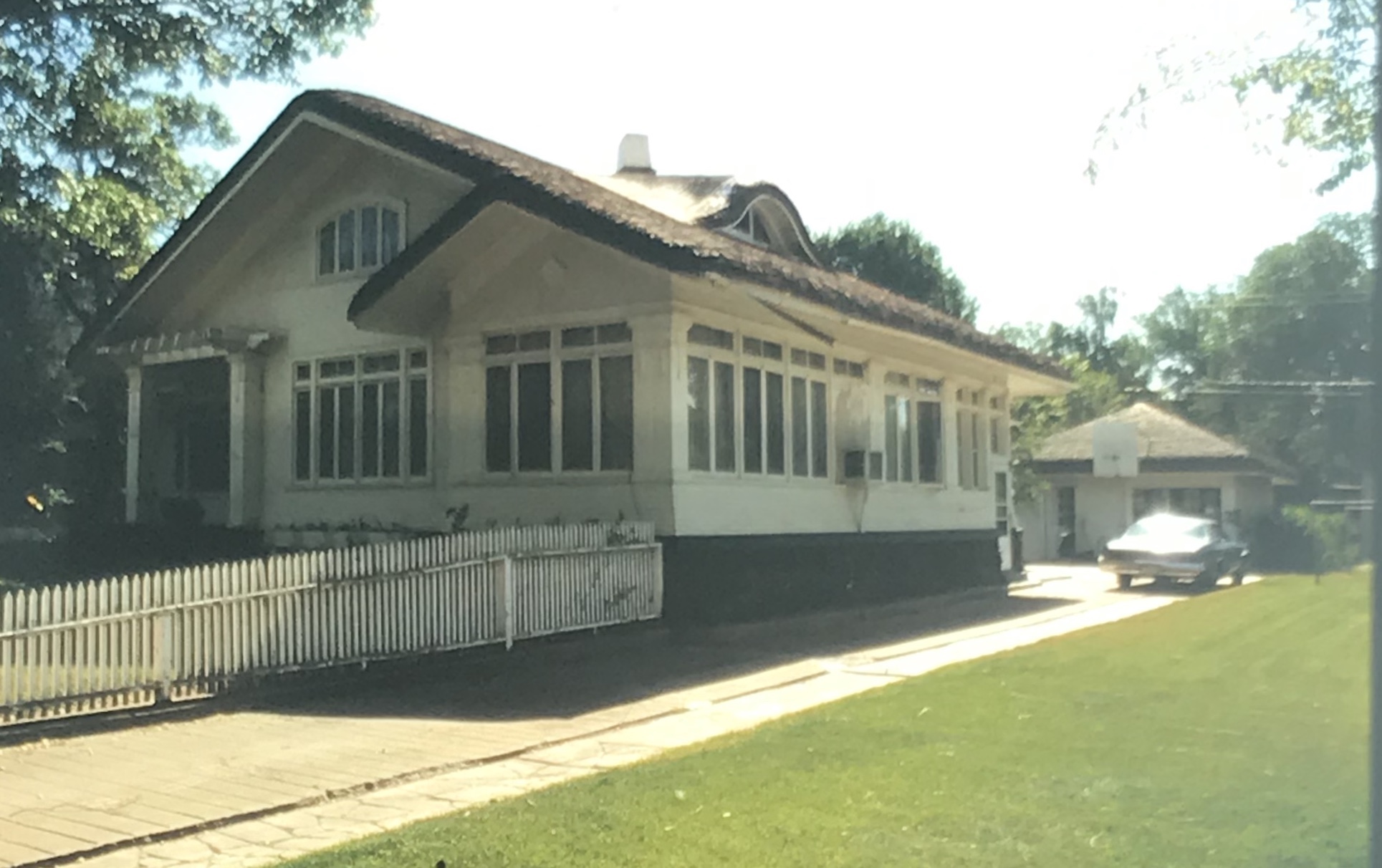
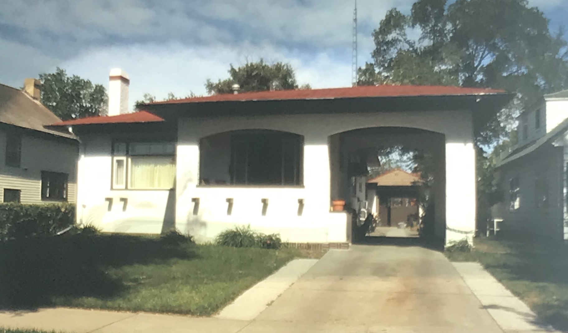
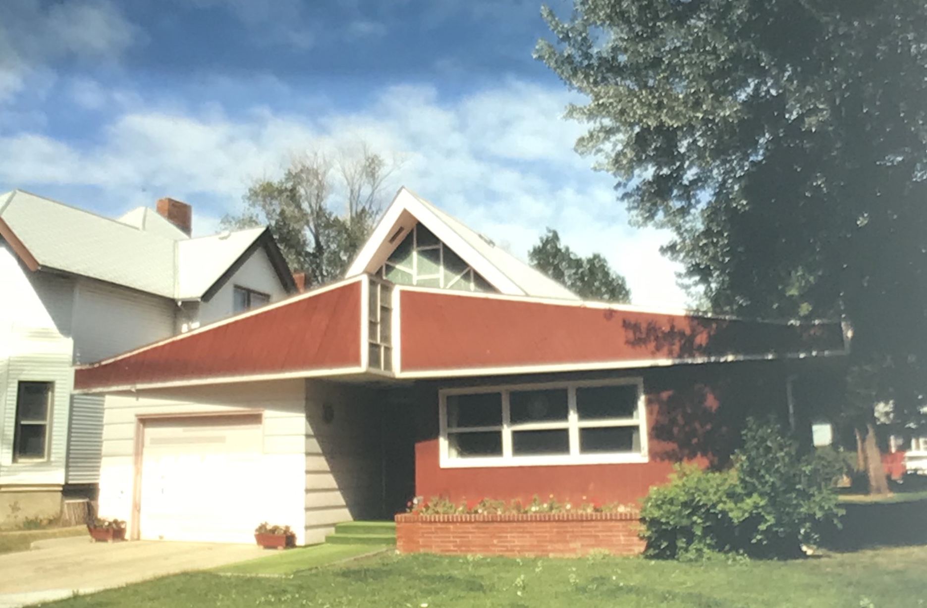
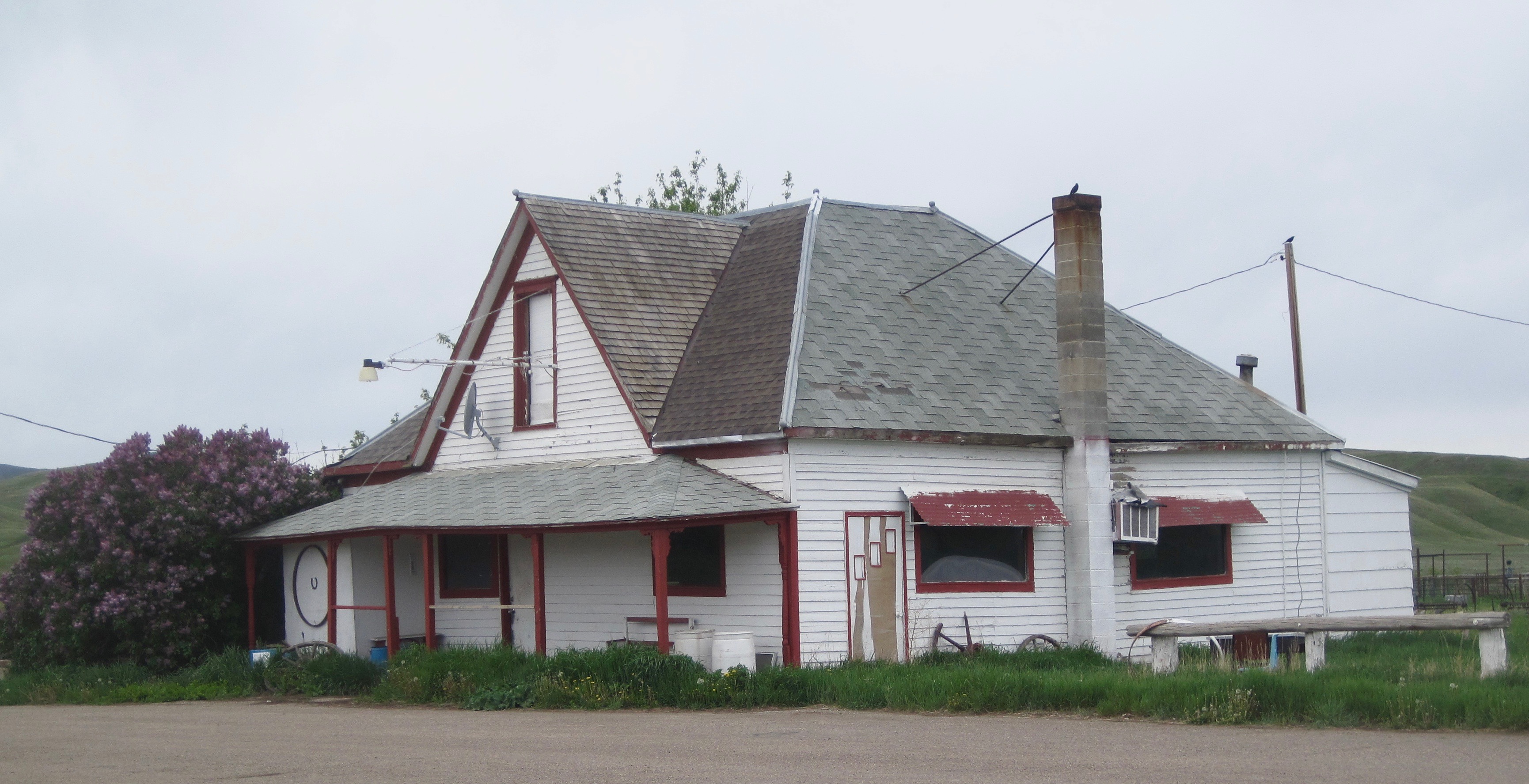
The residential area has plenty of vernacular-styled 20th century homes, most from the first half of the century. I particularly liked the next two bungalows on Timmons Street.


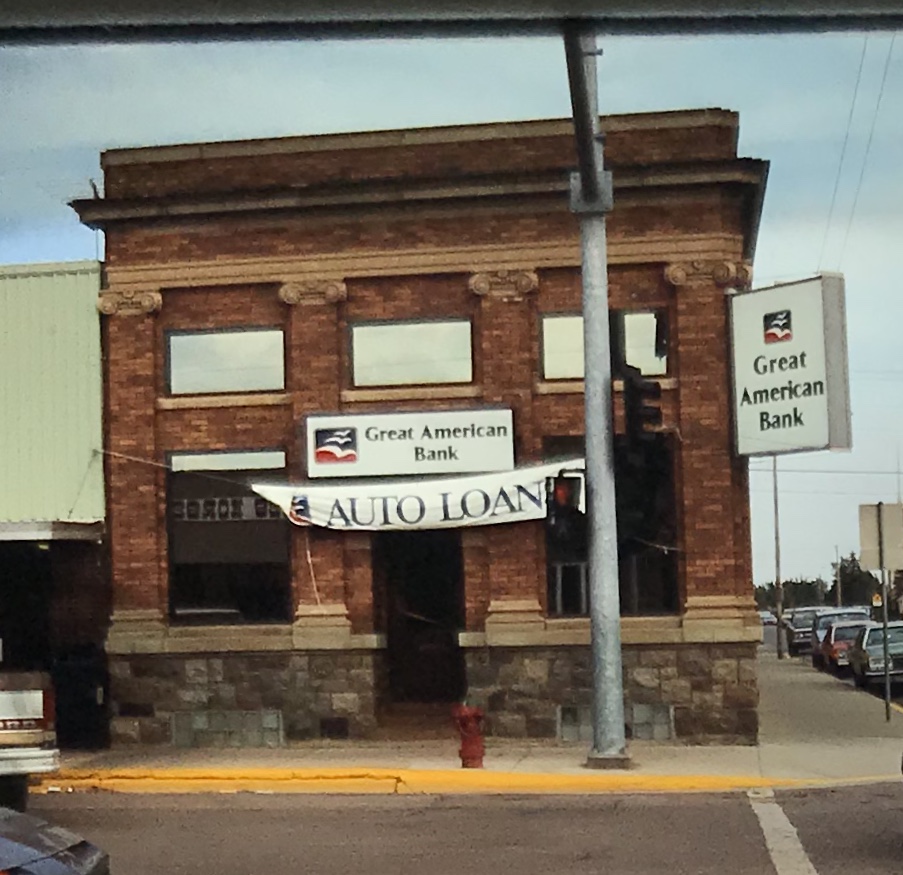
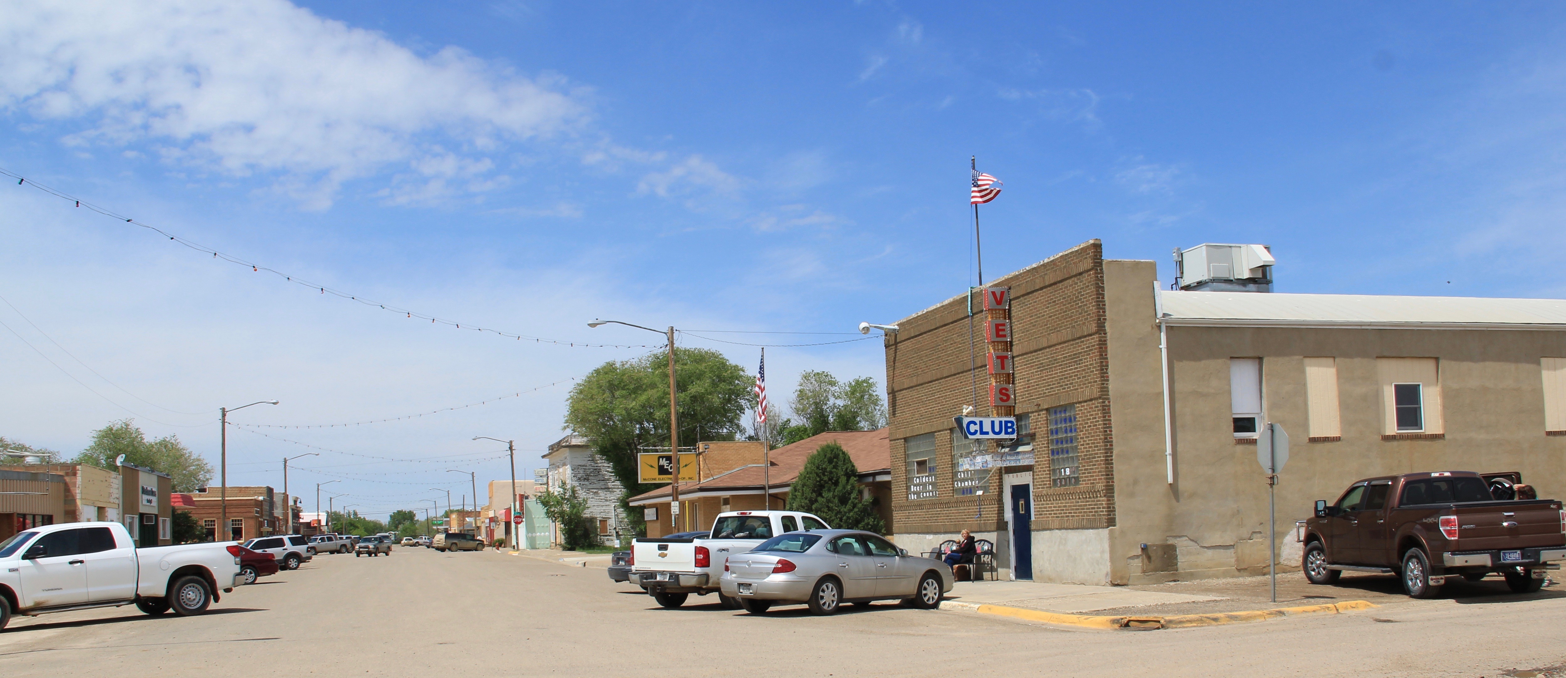
Five years ago the business district had clearly weathered the 2007-2008 recession and lots of stores and bars were open, anchored by Independence Bank, another example of 1960s-1970s modern commercial style in Scobey.
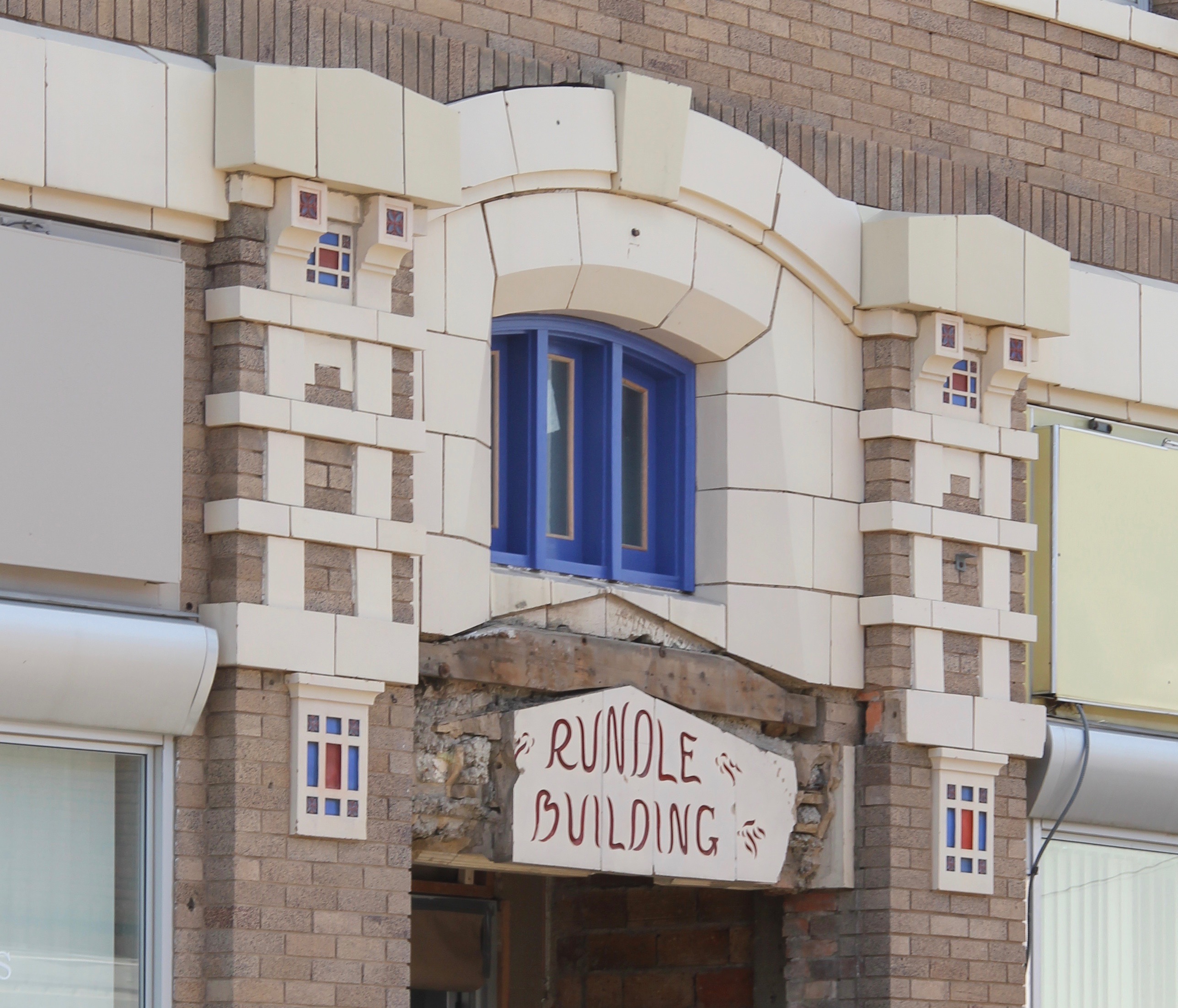
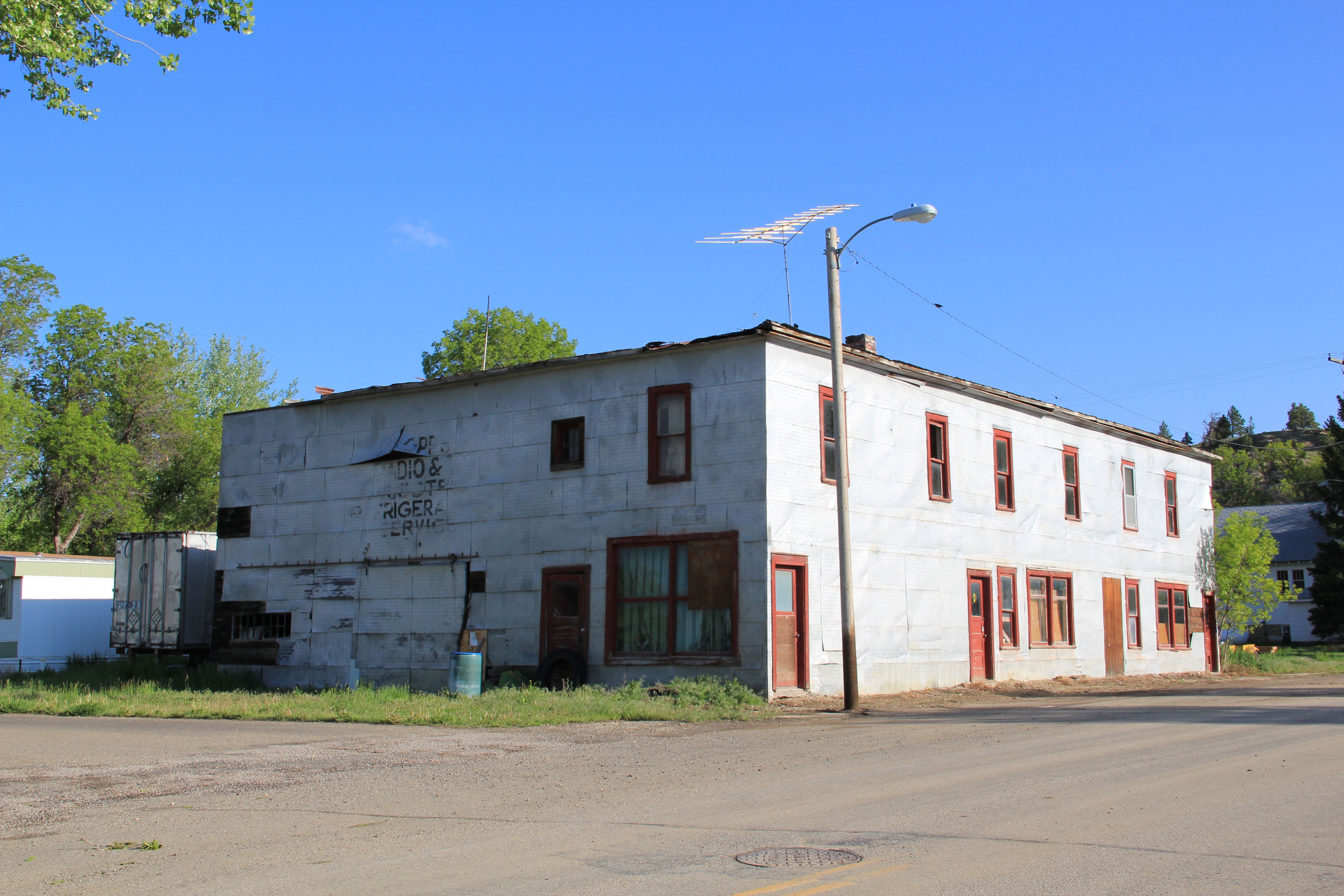
Businesses from the first decade of settlement also were part of the “downtown” fabric, such as this historic two-story Masonic Hall and the Pioneer Hotel, which once served as a first stop for homesteaders upon their arrival in Scobey.


There is a persistence in Scobey that is admirable. The Daniel County Leader, the local newspaper, also has weathered the storm of media change in the 21st century and stands in the heart of town, still undoubtedly serving as a community communication center.

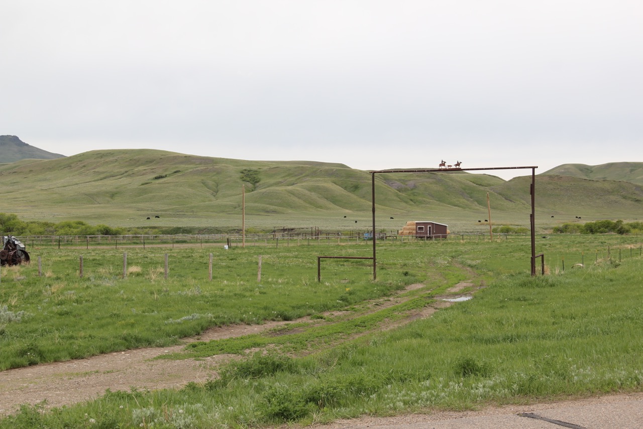
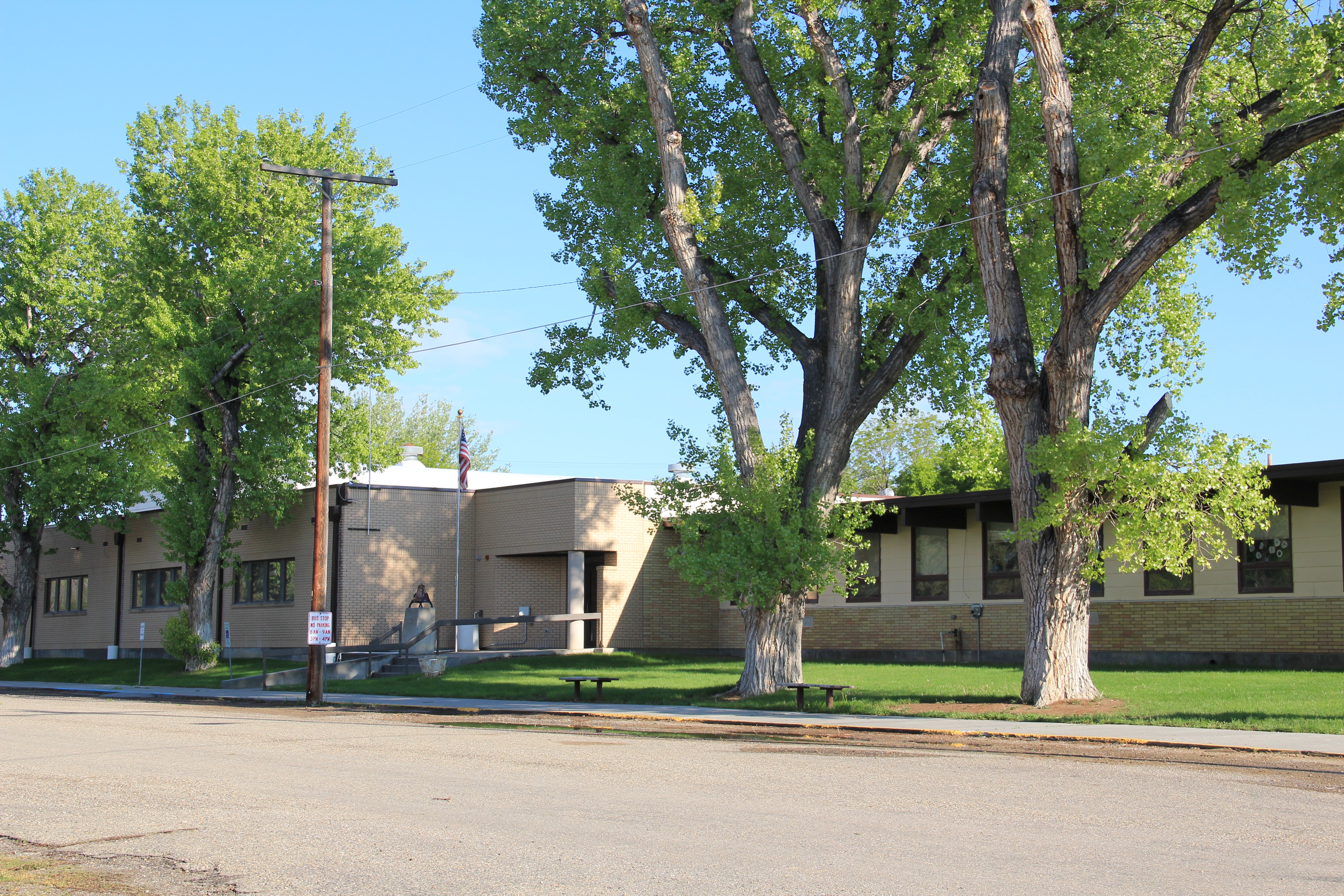
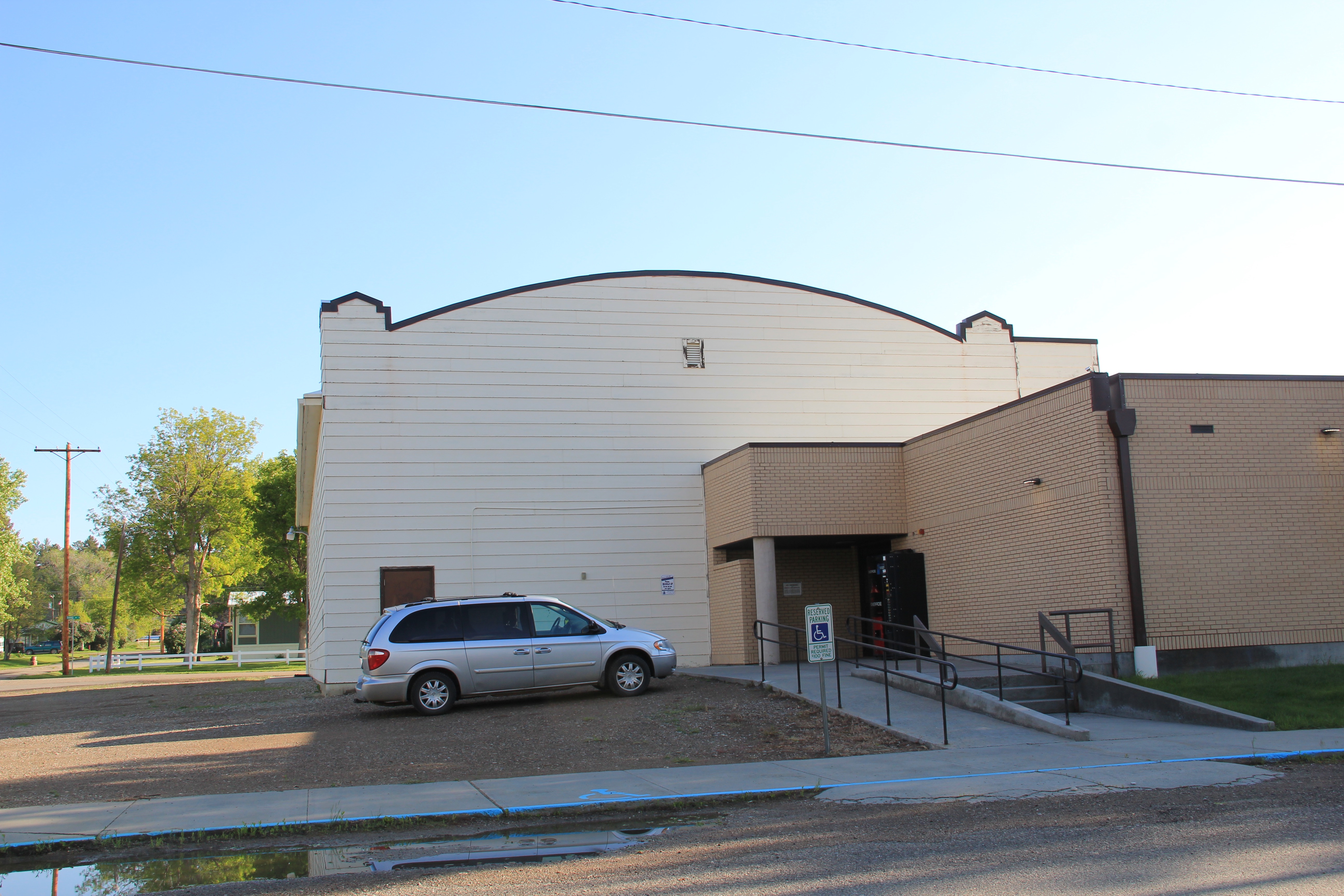
How I missed these properties in my initial post–well I can’t explain that. I am sure I had a good reason 5 years ago. But what is really inexplicable to me is why I did not share more of my photos from the Scobey School–especially its football and track field below–

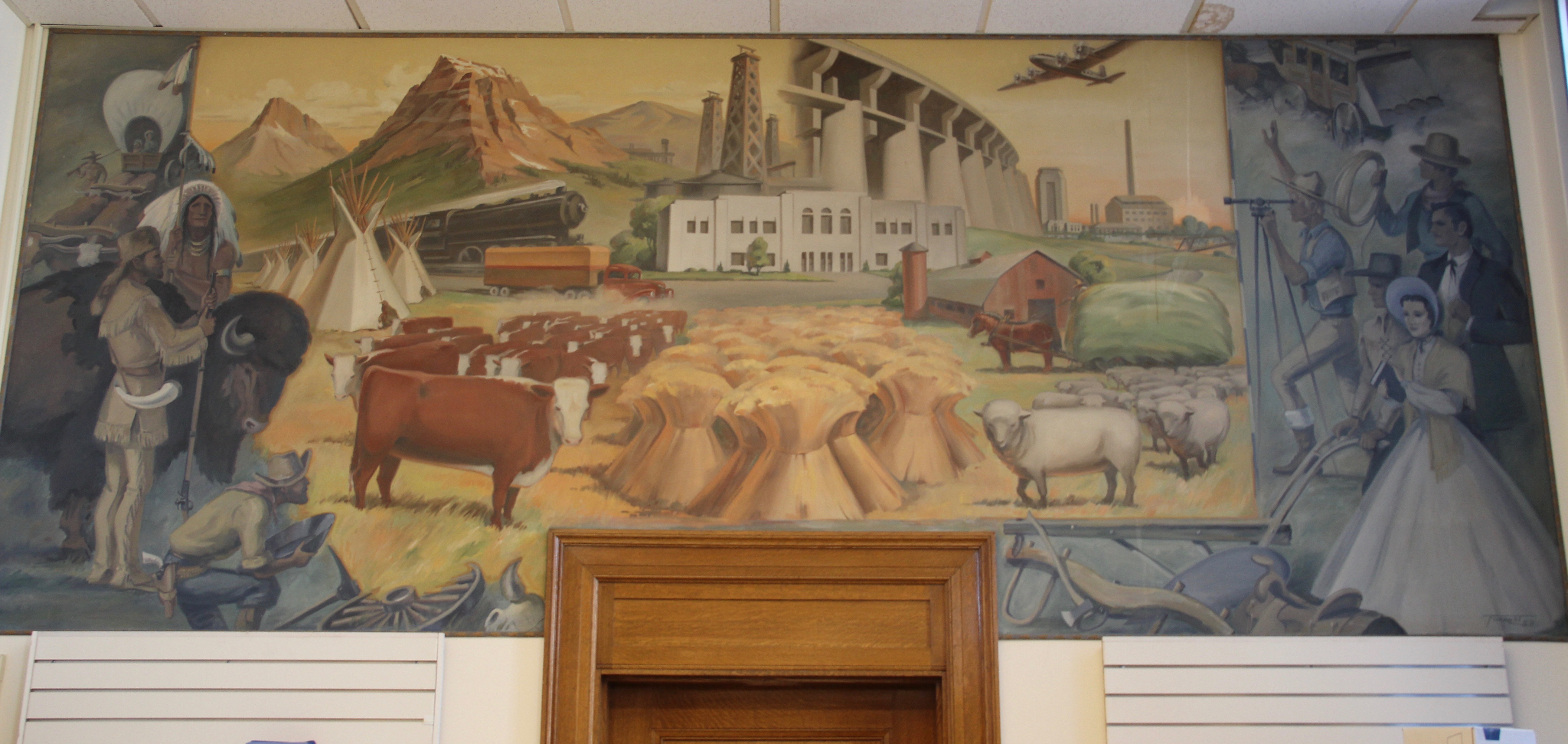
along with more interior images from the Daniels County Courthouse, the one building in Scobey that is listed in the National Register of Historic Places. Here you see the courthouse’s long hallway (with its National Register sign in the corner), the records vault, the courtroom’s jury box, and the jury room. Just walking into this place takes me to the beginning years of Daniels County.


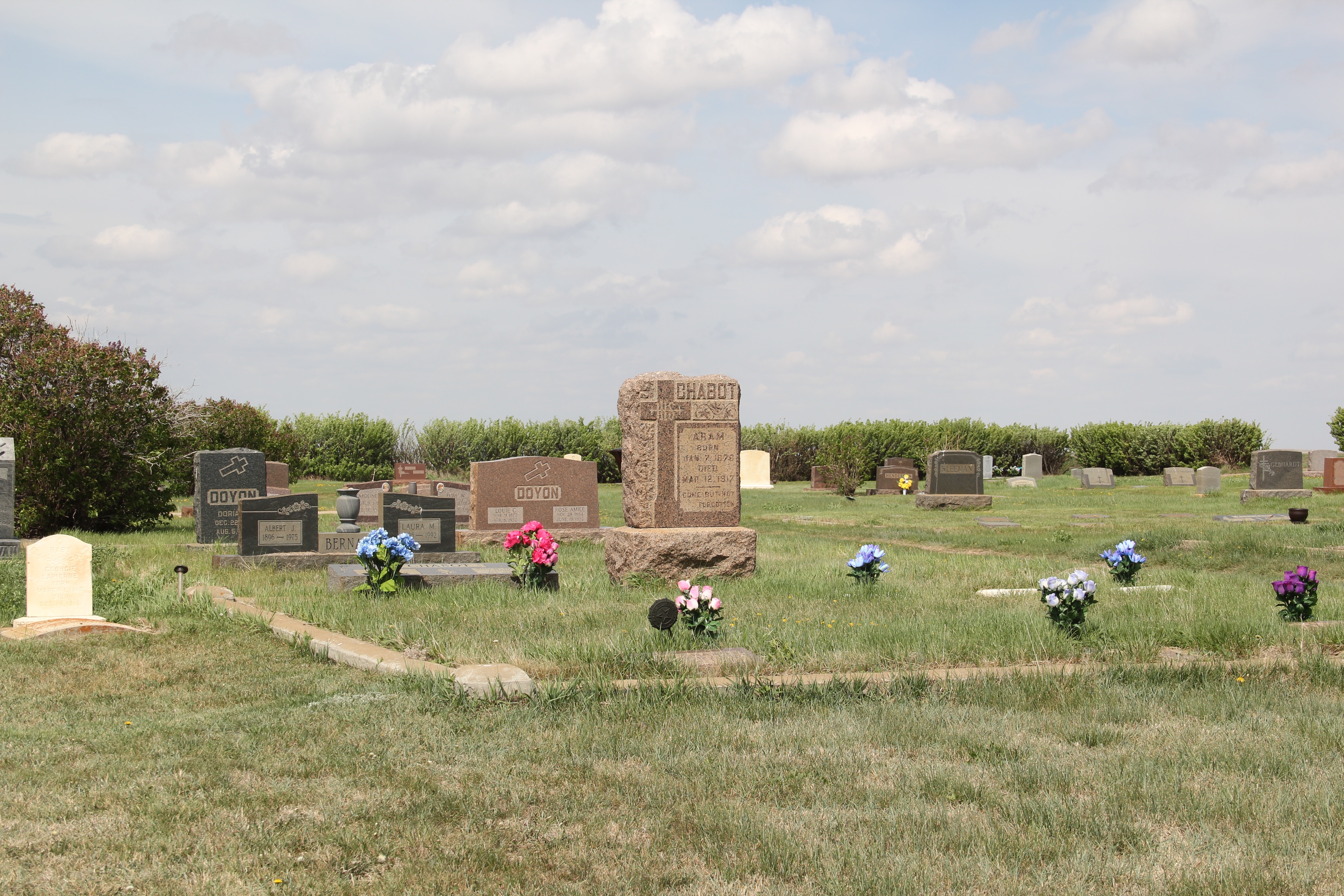
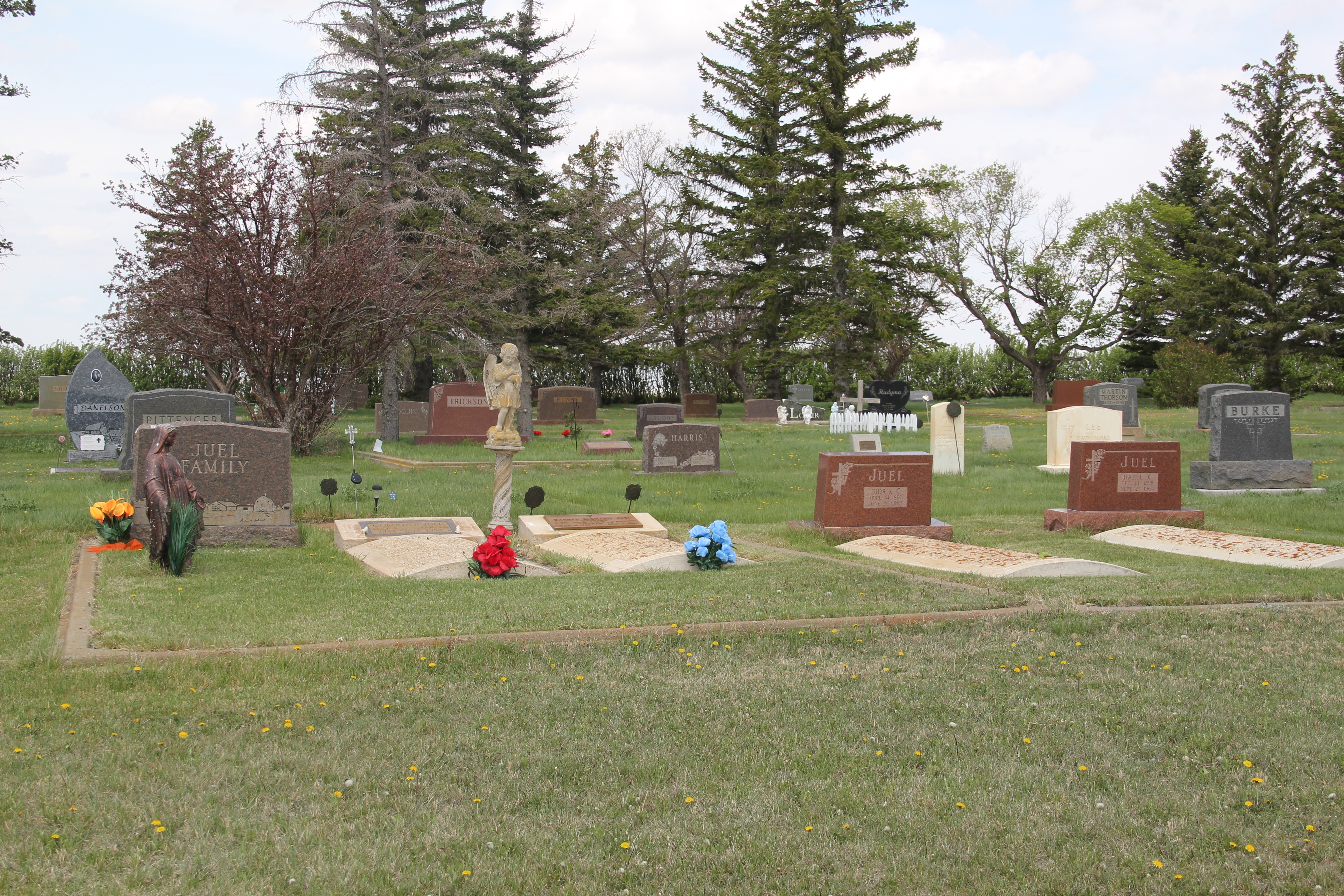
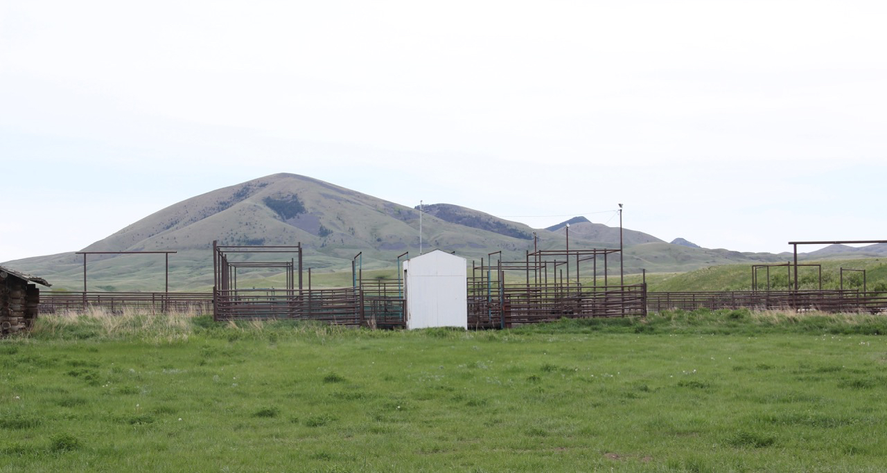
One property type many people ask about are cemeteries. Unfortunately I did not have the time to record every tombstone in these places–another time, perhaps. But I can add to the blog additional images from the Daniels County Cemetery, which lies outside of Scobey. These images hardly cover everything but they do document what a special place this tiny county seat is, for residents and for visitors willing to go exploring.


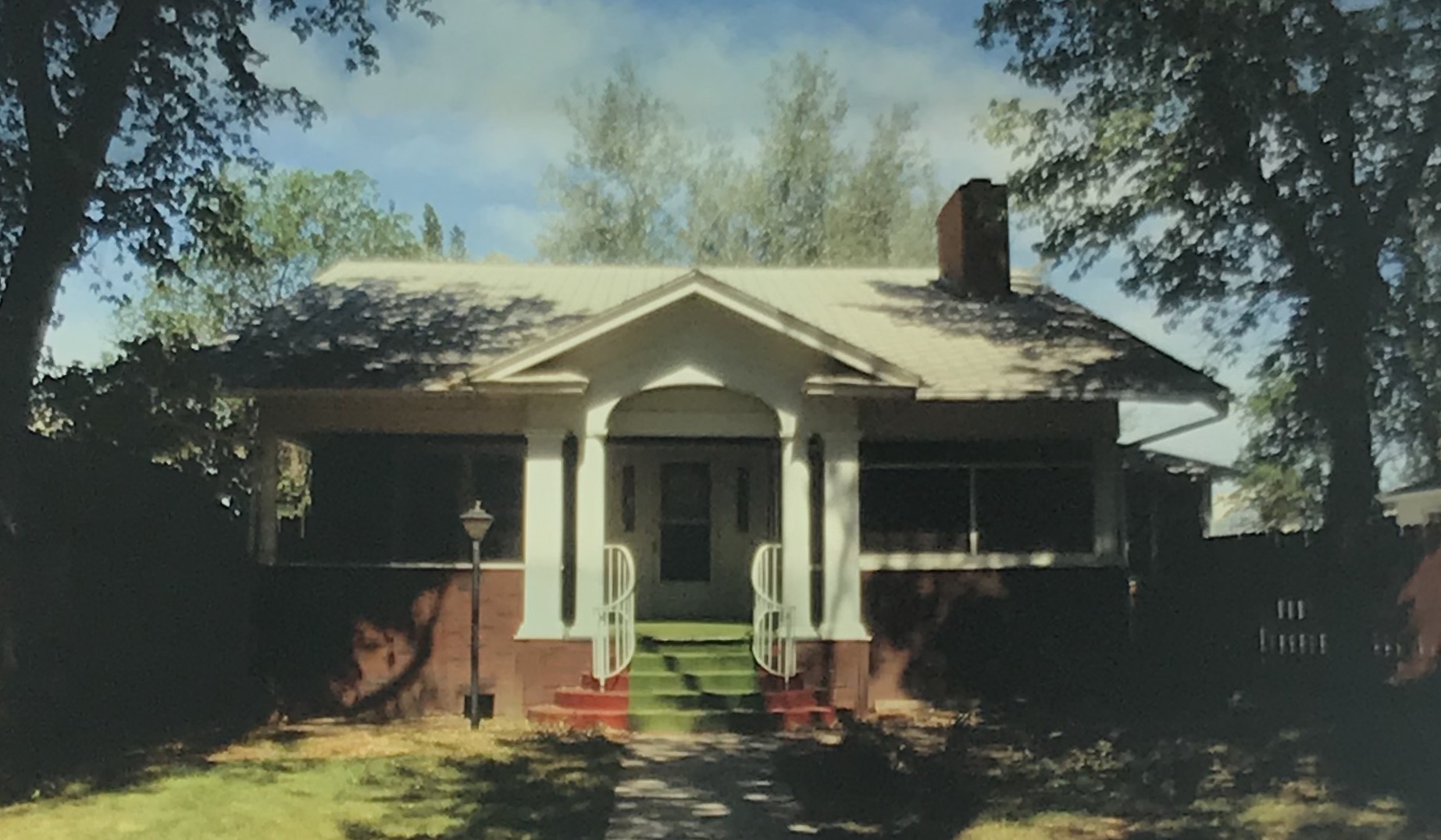

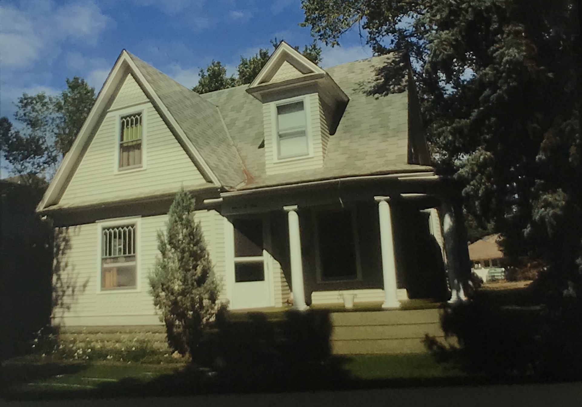
 The earlier homes in the district are mostly Victorian in style and form, like the dwellings at 707 N. Meade (below) and 709 N. Kendrick (second below), the most Queen Anne style dwelling that I recorded in 1988 in Glendive.
 A good bit of the historic machine shops (above) still operated in 1988. The depot and railroad offices still dominated the Merrill Avenue business district (below).
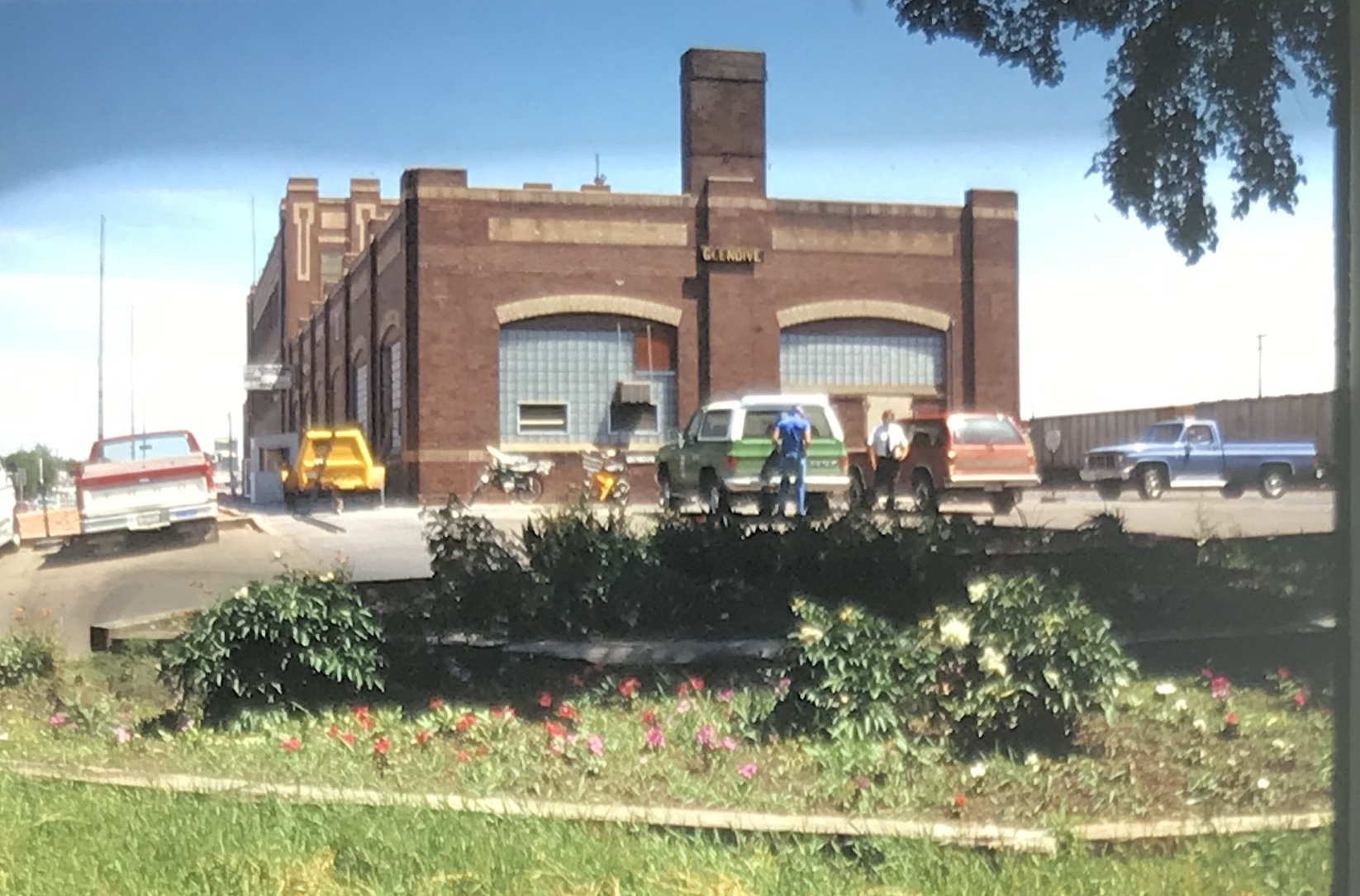


 My favorite Merrill Avenue business was the wonderful Art Moderne style of the Luhaven Bar (below). You gots love the black carrera glass and glass block entrance.

 But my favorite modernist building was the First National Bank, which was later converted to the town’s public library.
 Next posting will include homes from the town’s residential district from the early 20th century to the mid-century as I continue a look back to the Yellowstone River and its towns in 1988.


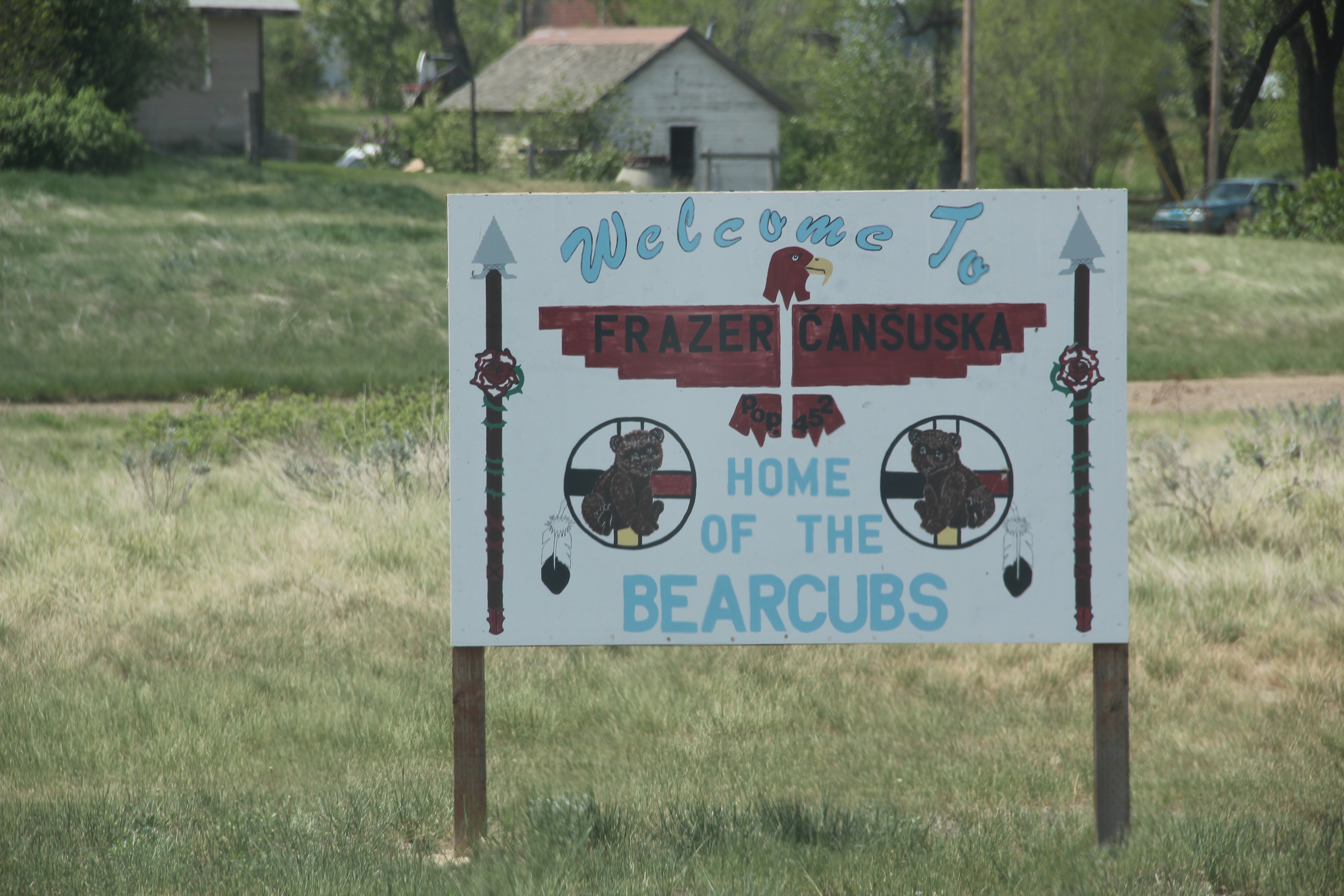
 Another traveler has posted a wonderful montage of the July 4, 2011 rodeo at Cleveland–truly a community affair. I wish that one day soon I can return when the chutes and corral are teeming with livestock and ranch families from miles around gather for an annual event, whose origins stretches back to the early settlement of Blaine County.

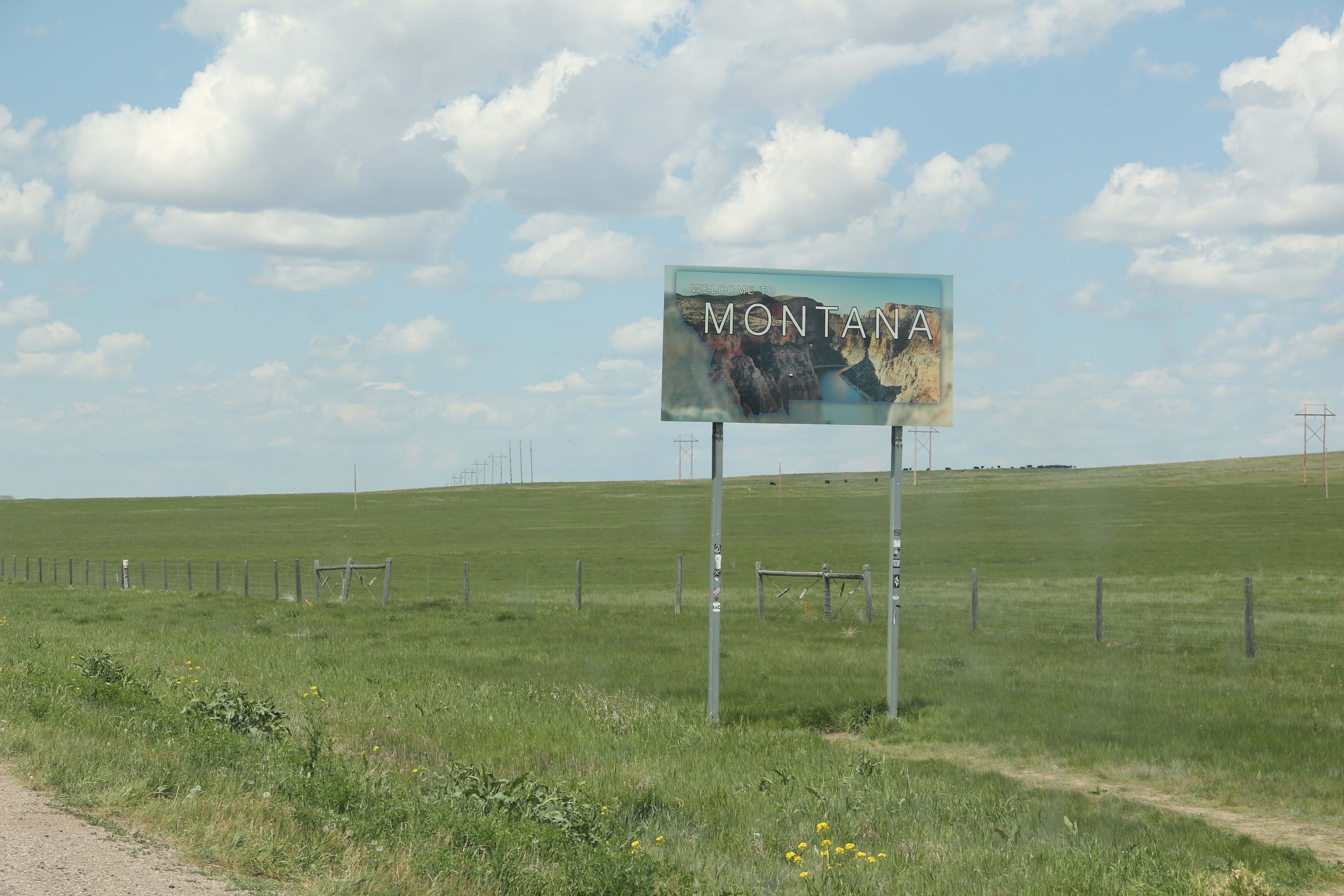

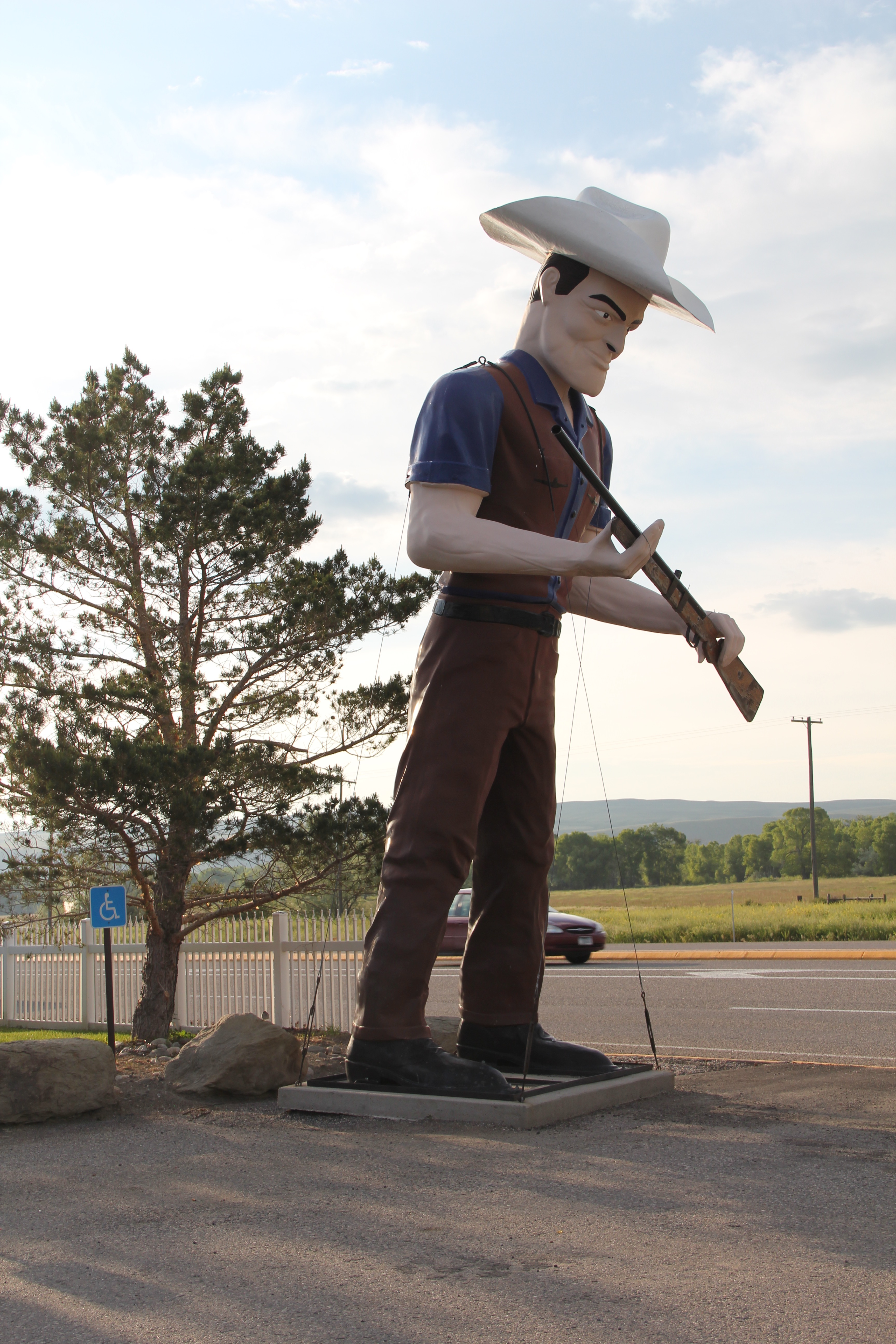 metal like Thunder jack in the Shields Valley on U.S. 89 north of Livingston. There’s always a wave and friendly greeting!


 and consider those who have passed before with the many historical markers.
 The vastness and diversity of the Big Sky Country is amazing, with so many bridges to


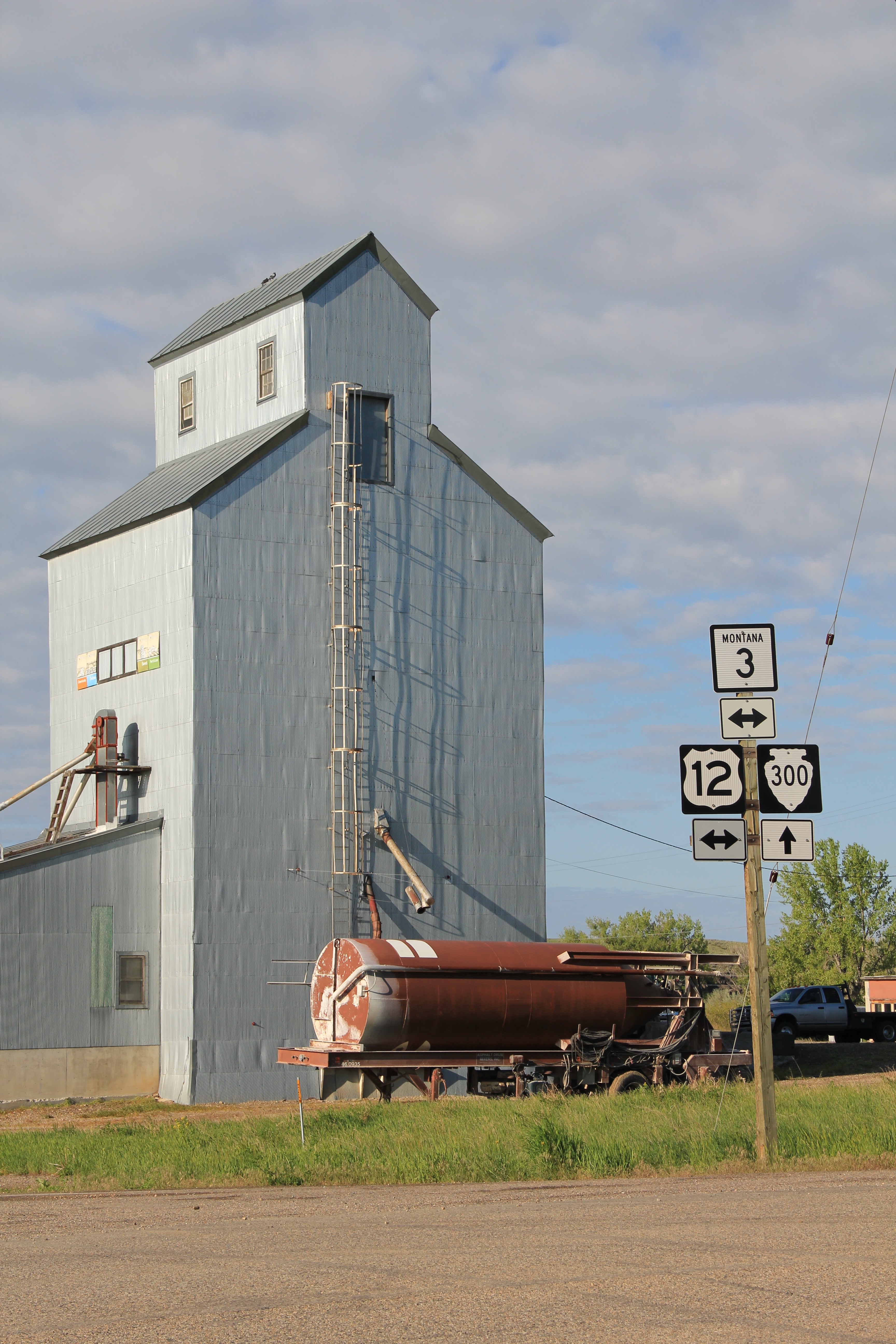 But like most travelers I roar down the highway, perhaps noting the tall grain elevators facing the town proper, and pay little attention to anything else. In a post of four years ago, I spoke of Golden Valley County and its historic landmarks, highlighting the grain elevators, the Golden Valley Courthouse, the Sims-Garfield historic ranch, and the historic town bar in Ryegate. But like the other eastern Montana county seats, Ryegate deserves a closer look.
 Ryegate received one of the standardized “modern” post office designs from the federal government in the 1970s–the town’s fortunes have remained basically frozen after the Milwaukee Road declared bankruptcy and shut down the tracks in 1980.
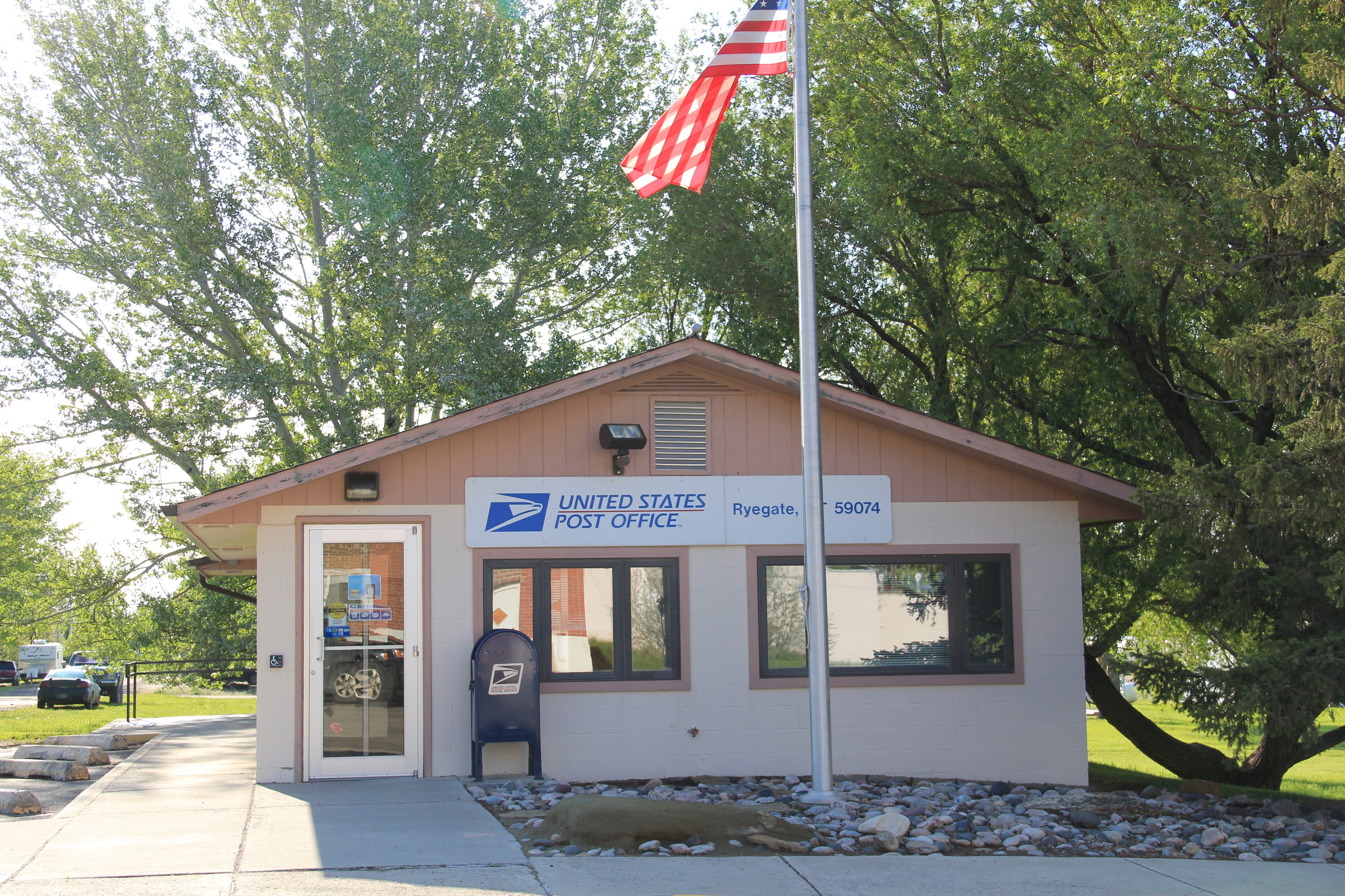


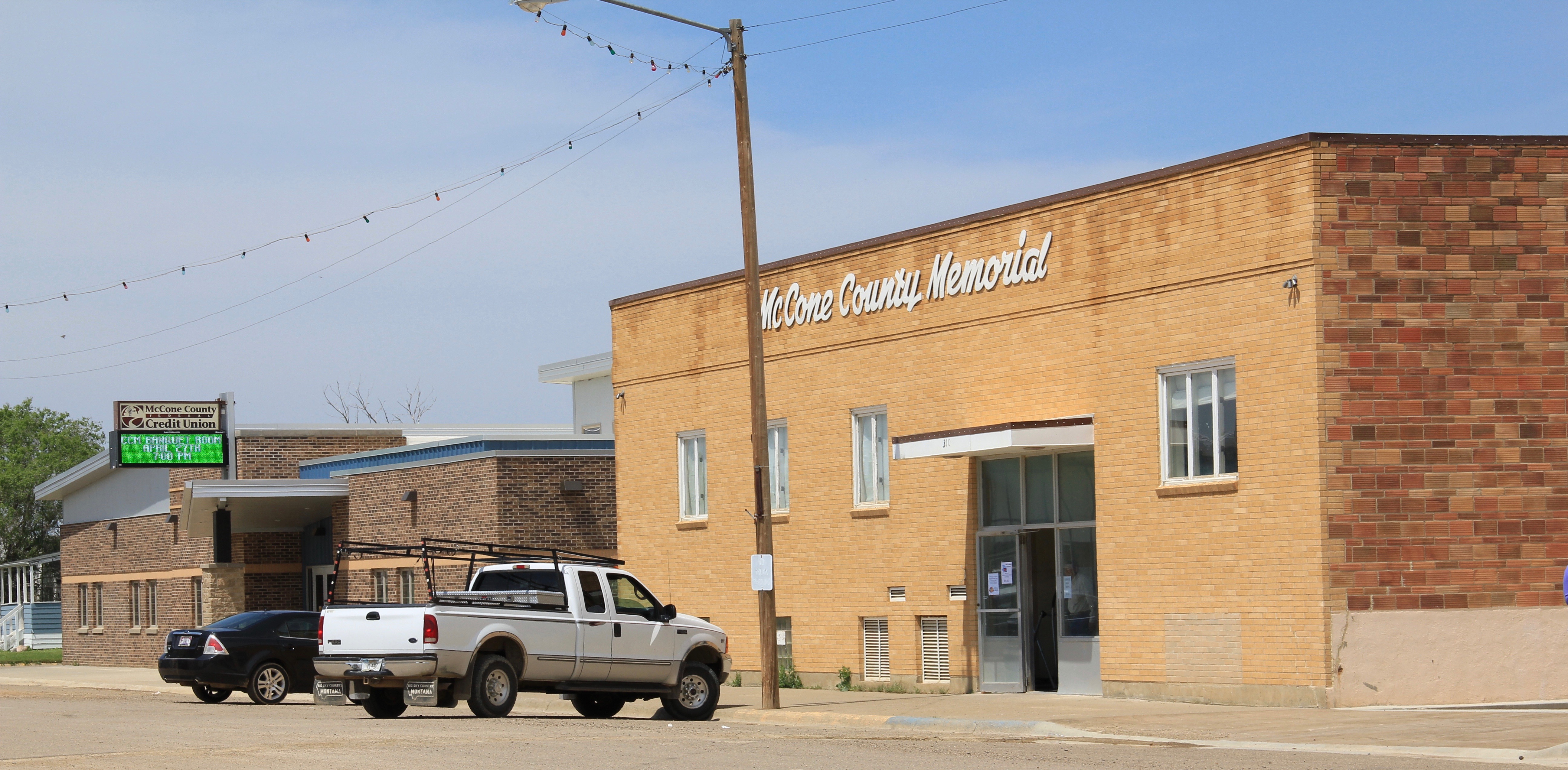
 Another new financial services building since my 1980s visit to Circle is the McCone County Credit Union building, shown below to the left of the landmark McCone County Memorial building.