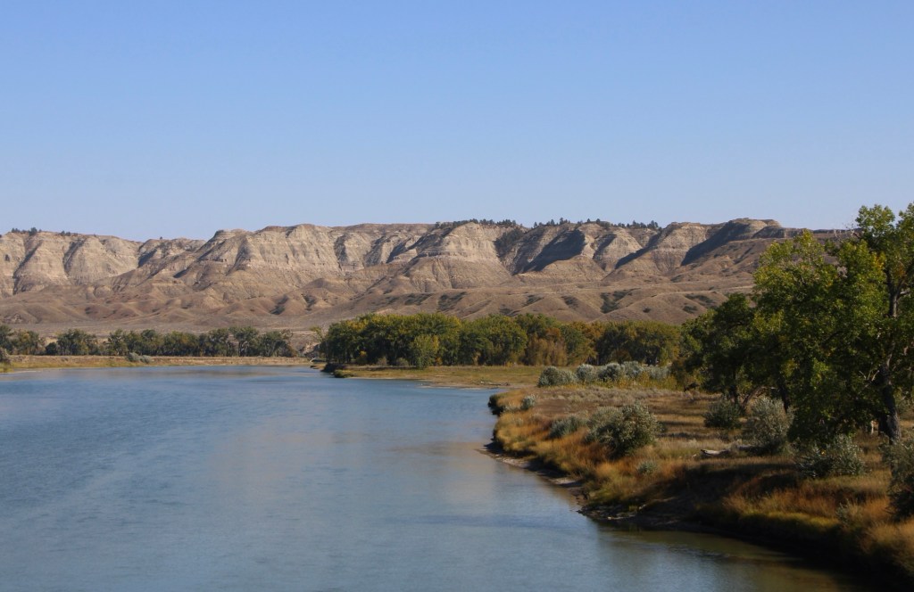
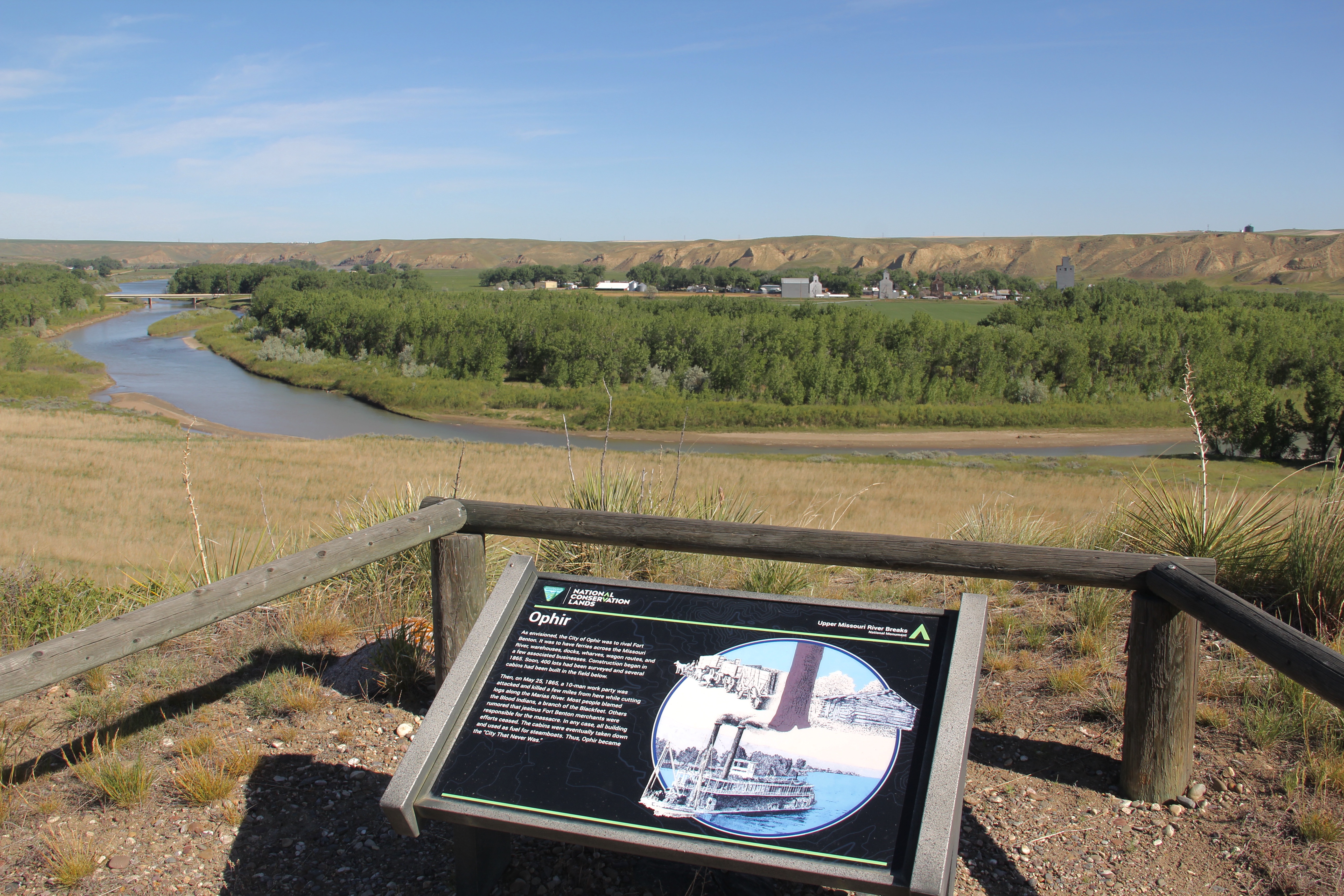
There are few places in the nation more important than the broad river valley at the confluence of the Judith and Missouri rivers in central Montana, a place only accessible by historic gravel roads. When I first visited in 1984, I came from the Fergus County side through Winifred.
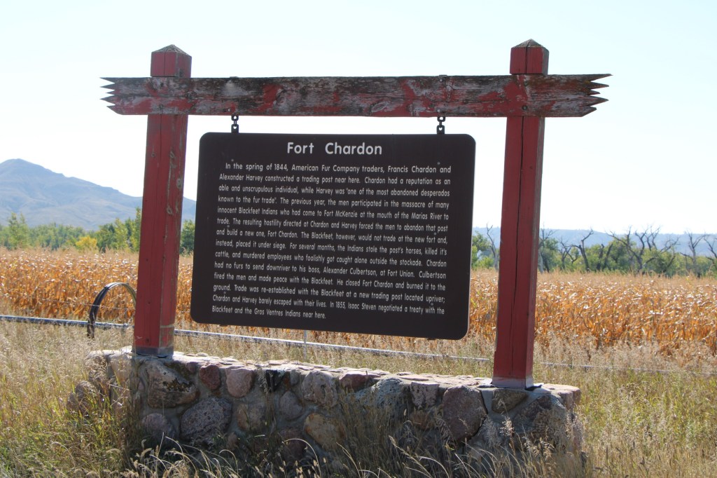
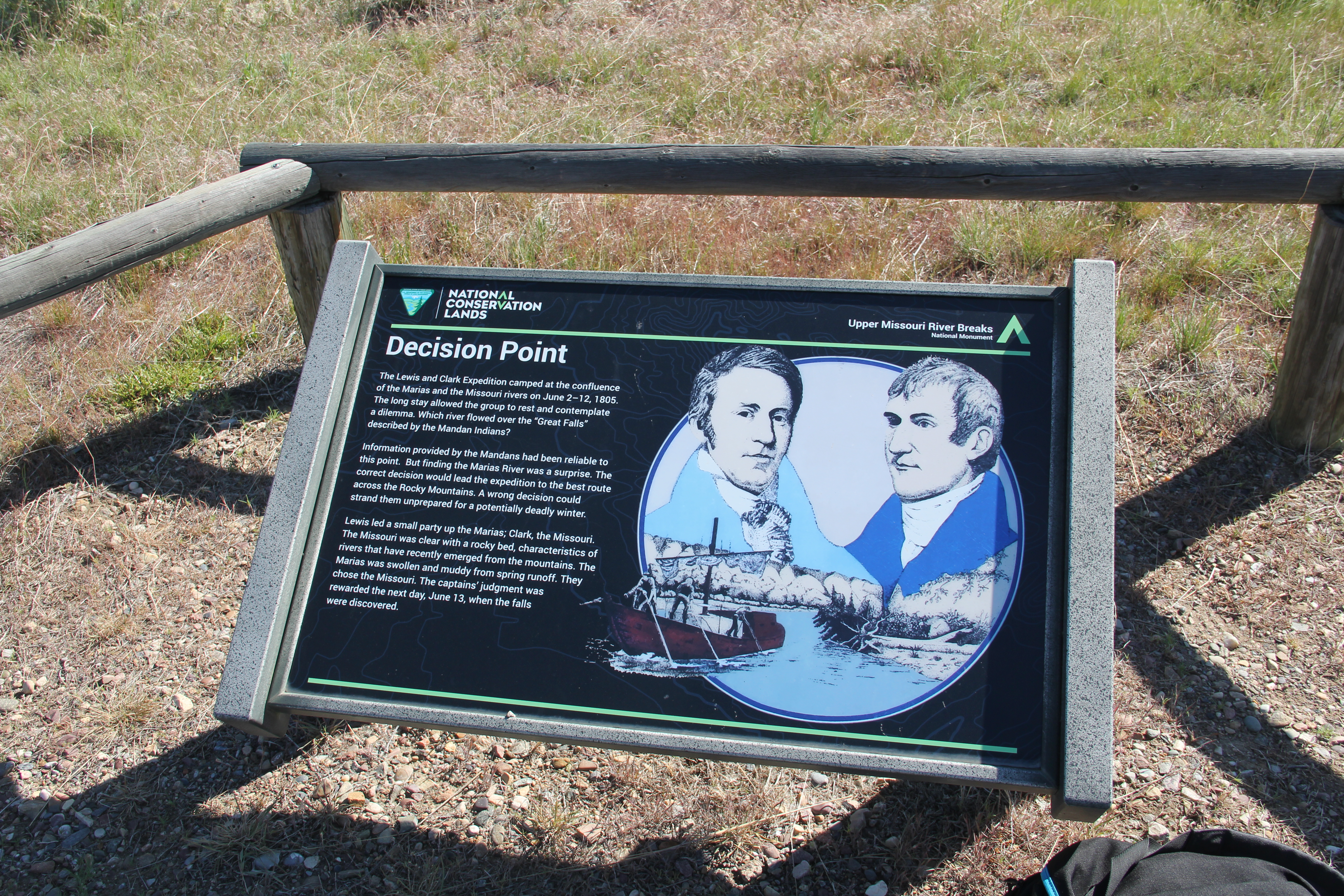
Why is Judith Landing so important? It was a vital and frequently used crossroads for Northern Plains tribes for centuries. Then in 1805 as Lewis and Clark traveled on the Missouri, they camped at the confluence (private property today). In 1844, The American Fur Company established Fort Chardon, a short-lived trading post.
In 1846 Indigenous leaders of several tribes met at Council Island to discuss relations between the Blackfeet and other northwest tribes. In 1855 leaders from the Blackfeet, Salish, Pend d’Oreille, and Nez Perce returned to Council Island to negotiate the Lame Bull treaty, which established communal hunting areas and paved the way for white settlement in the late 1860s and early 1870s.
Settlement first came with trading posts, serving a nearby army base, Camp Cooke (1866-1870) and connecting steamboat traffic on the Missouri to nearly mining camps (like Maiden). When the U.S. government moved the base, Fort Benton merchant T.C. Power developed his own businesses and post at Judith Landing and established “Fort Clagett” to the immediate west. In the 1880s he partnered with Gilman Norris to create the famous PN Ranch from the remnants of these early settlement efforts.
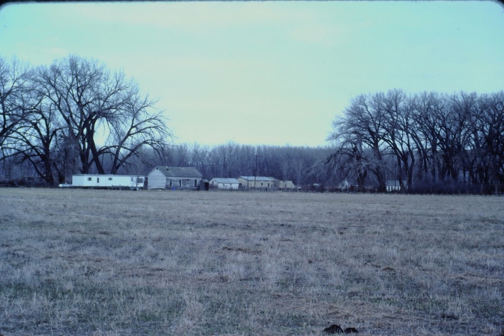
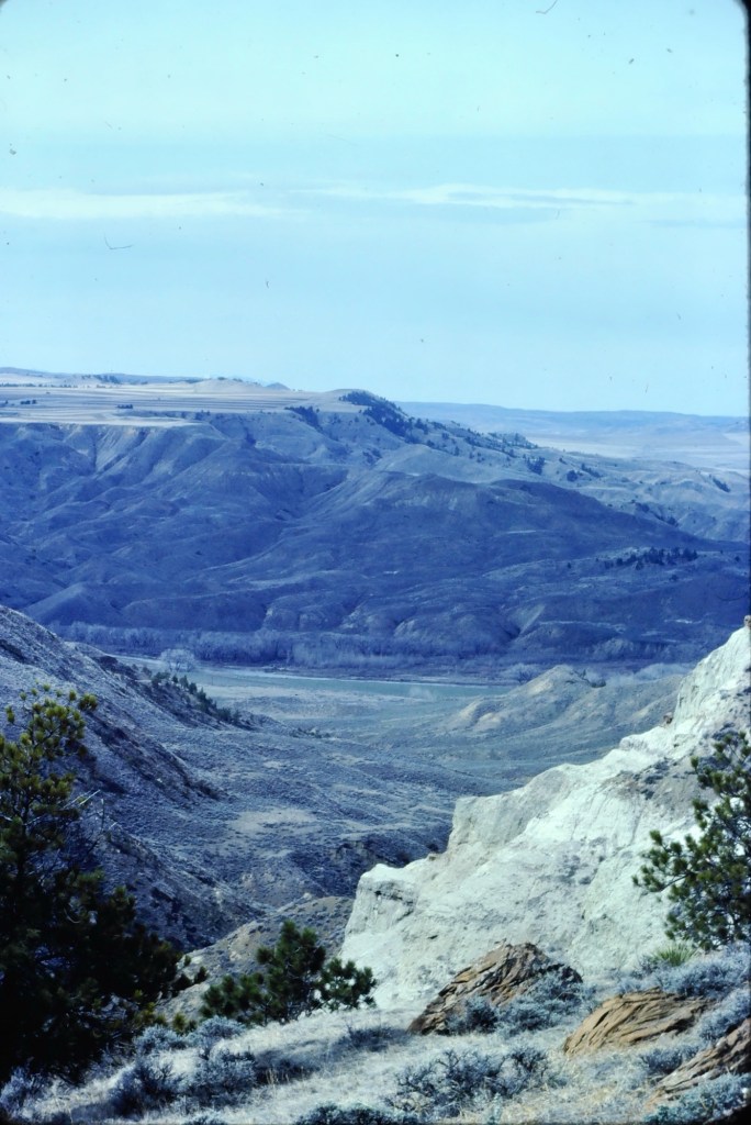
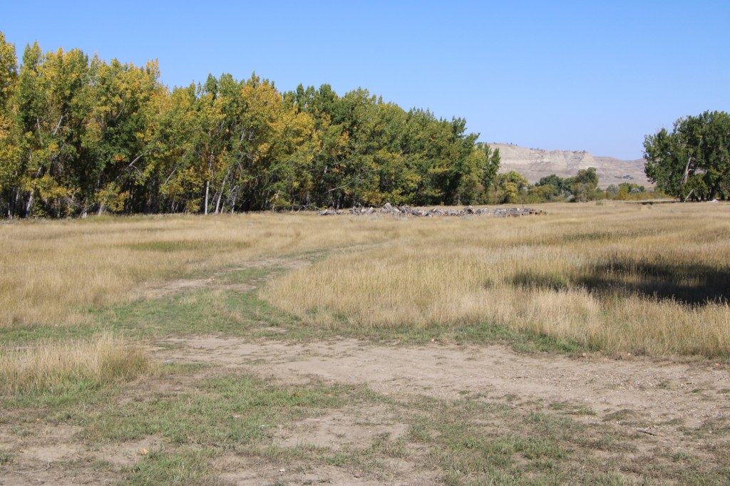
Visiting this place was a major goal of the 1984 historic preservation plan survey. At that time the ranch was still operating as a ranch and the one slide that I took shows several of the historic and new ranch buildings, yes from a distance because in the work I always respected private property boundaries.
Over the next 40 years I worked in Montana many times but never made a return to Judith Landing. I knew that the historic buildings of the PN ranch were there and that a National Register district existed affording some protection. Then in late 2024 came the news that Montana State Parks was acquiring 109 acres of the historic property and would create the Judith Landing State Park. I couldn’t wait to return and visited in late September 2025.
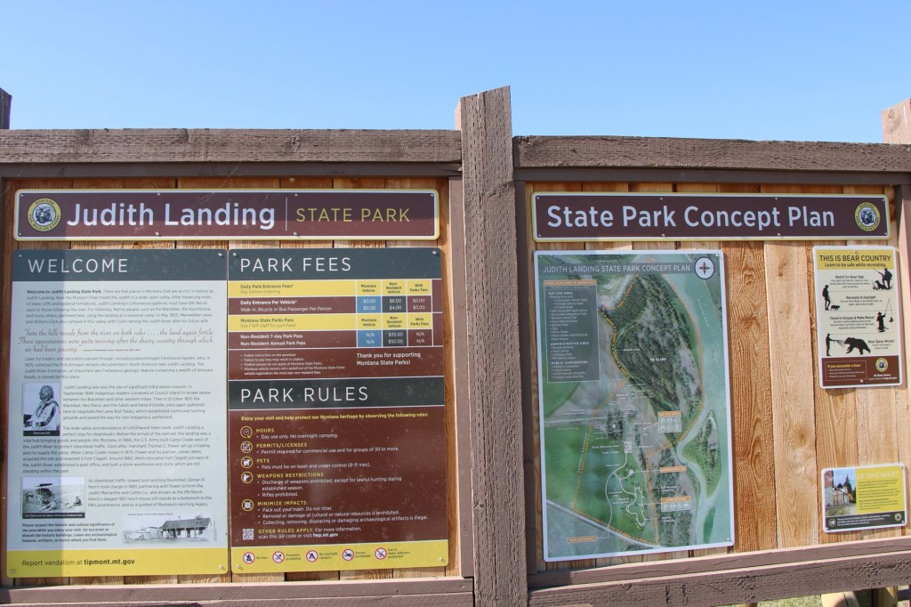
At that time there had been little in the way of “park development.” I hope it largely stays that way because the sense of time and place conveyed by the rustic, rugged surroundings is overwhelming. You can be lost in history.
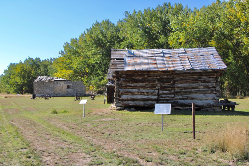
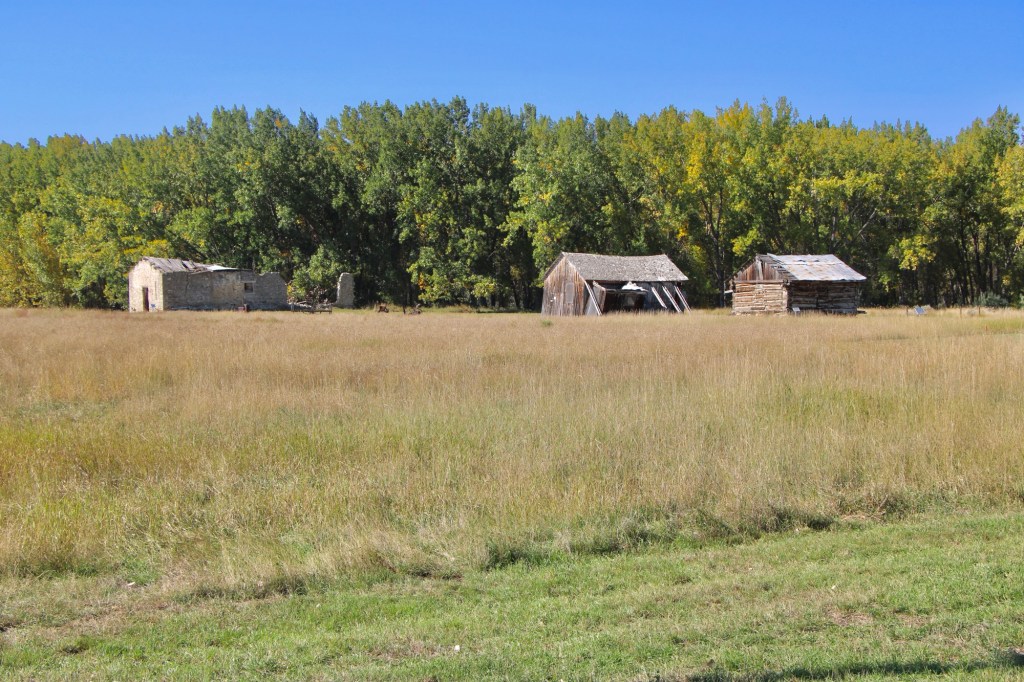
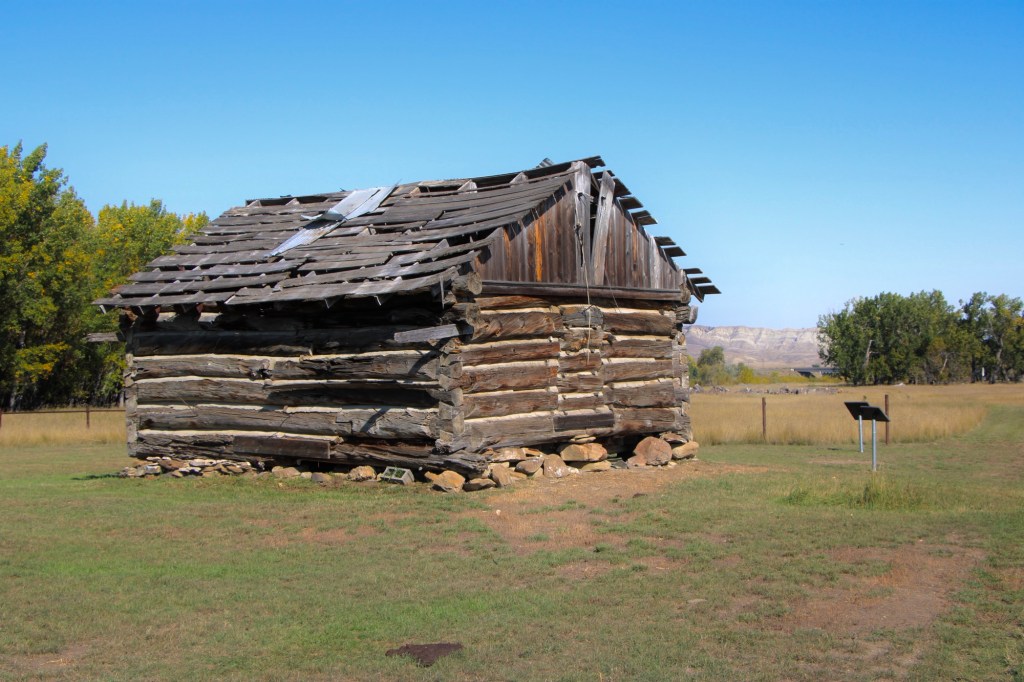
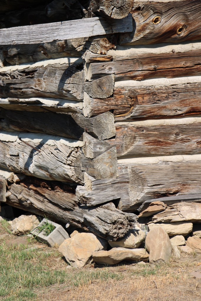
The half-dovetail “mail barn” was moved to its location on the ranch about 1890. It continued to serve as a post office until 1919.
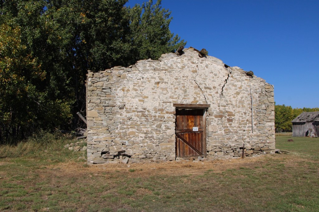
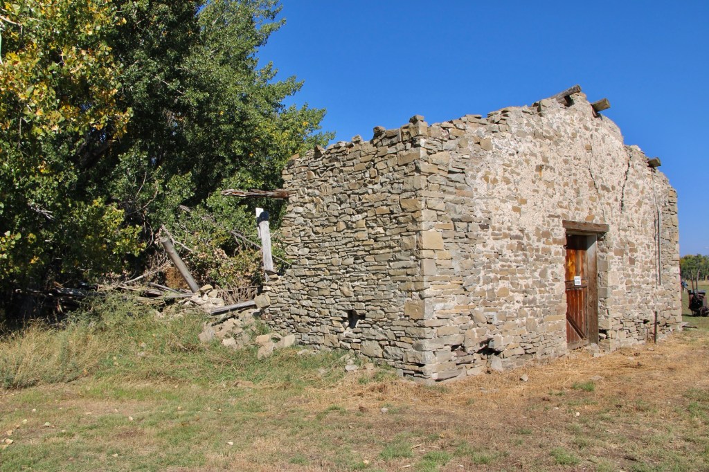
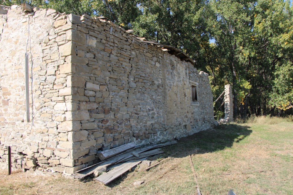
The stone warehouse was severely damaged in a flood 50 years ago—but it is hanging on, and indicates how important trade and commodities were here 150 years ago. It operated as a store until 1934 and then became a barn for the next 40 years until the flood of 1975.
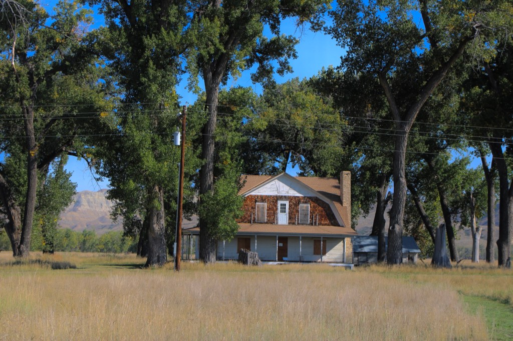
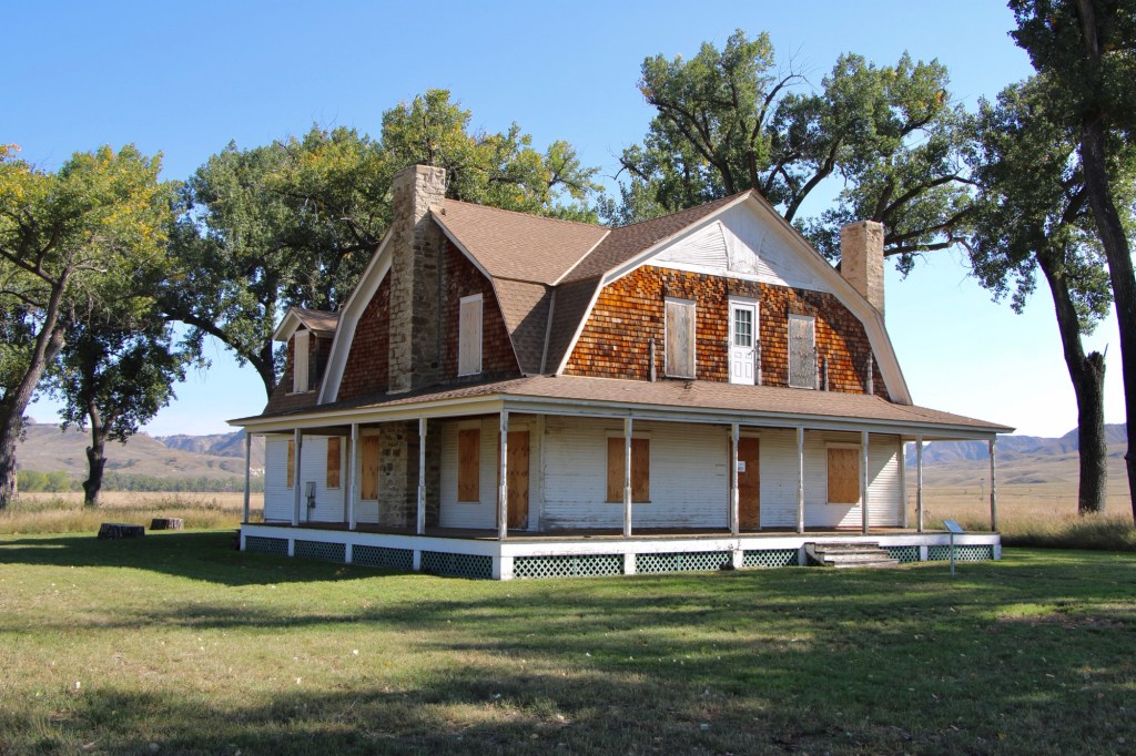
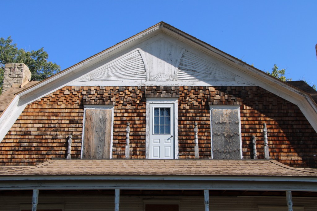
Gilman and Pauline Norris’s own ranch house, a turn of the twentieth century Shingle-style beauty, speaks to the ranch’s success. perhaps it can be restored as a future park interpretive center, open in the summer.
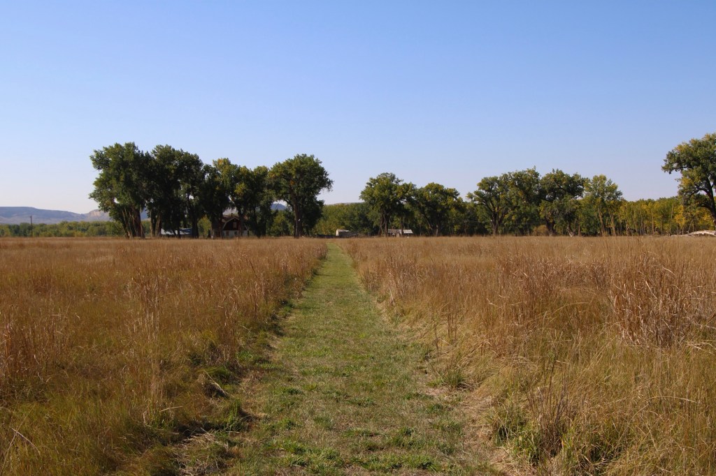
The important point is that, now, finally, Judith Landing is a state park, conserving one of the most remarkable places of the northern plains.


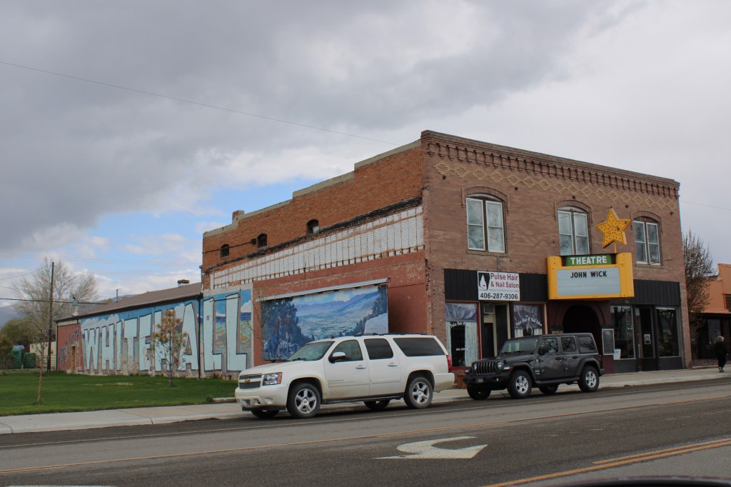


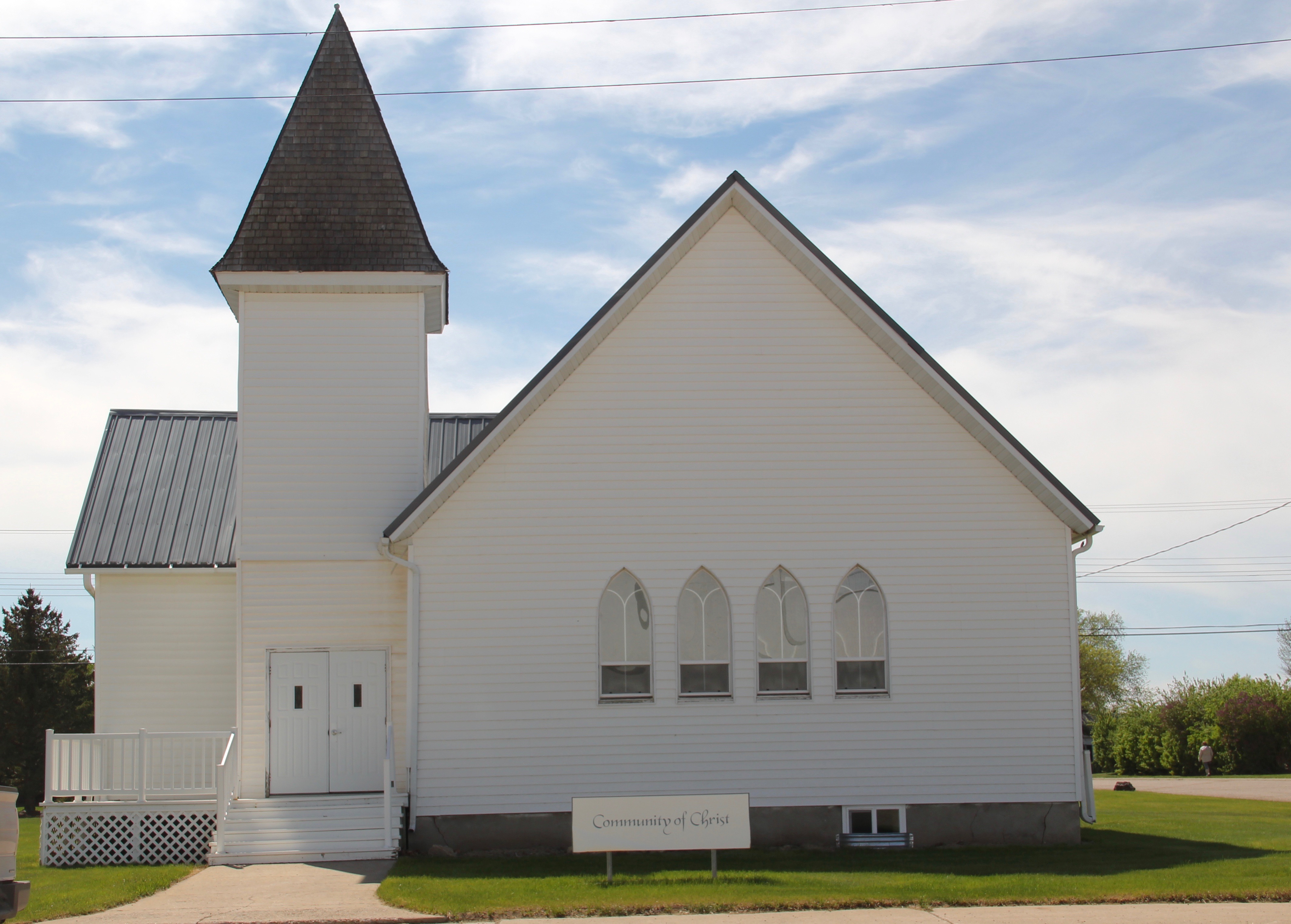
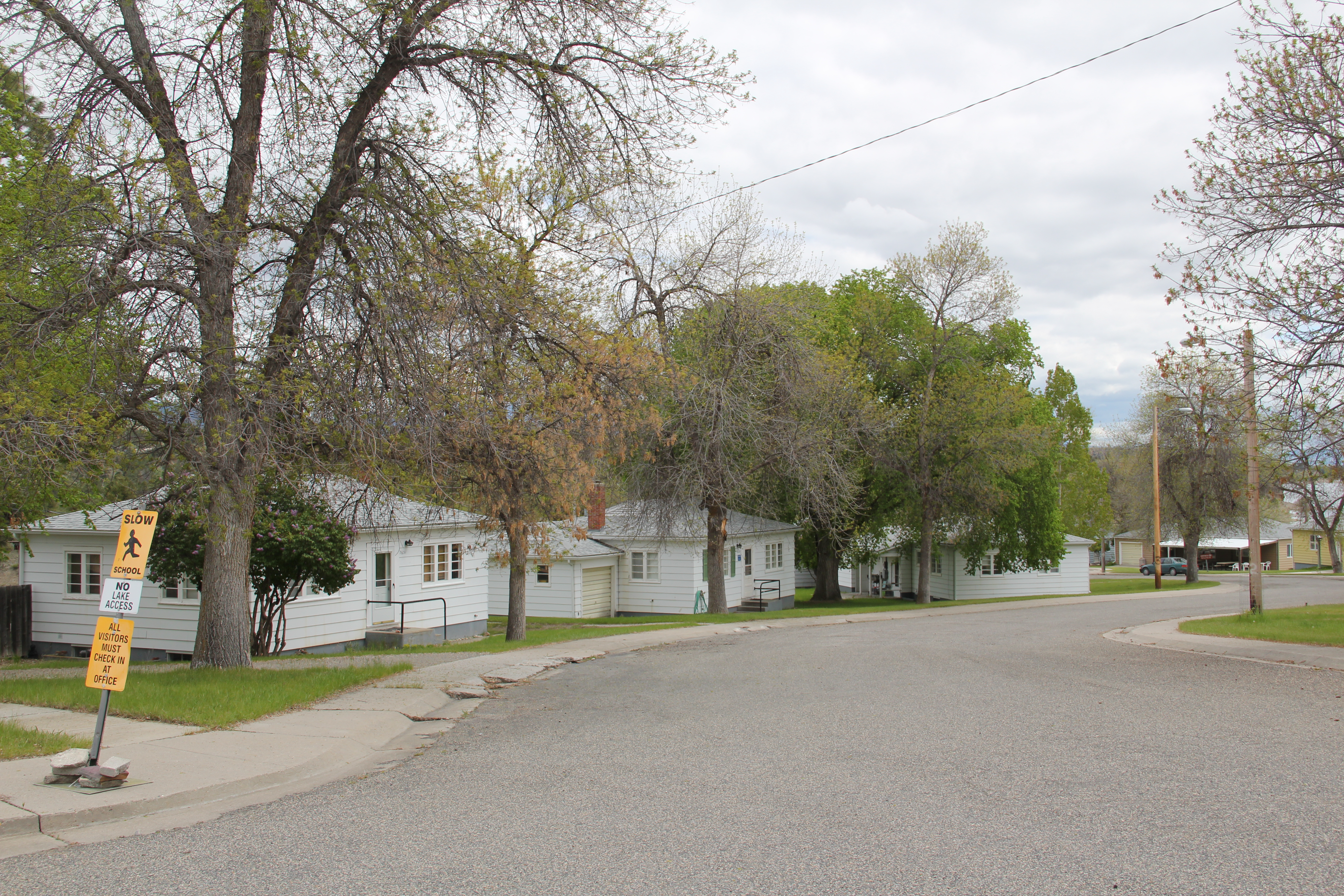
 modern style for many Catholic churches in eastern Montana. The Culbertson church is a good example of that pattern. Another church that belongs to the modern design era of the 20th century is Trinity Lutheran Church, especially as this distinguished building expanded over the decades to meet its congregation’s needs.
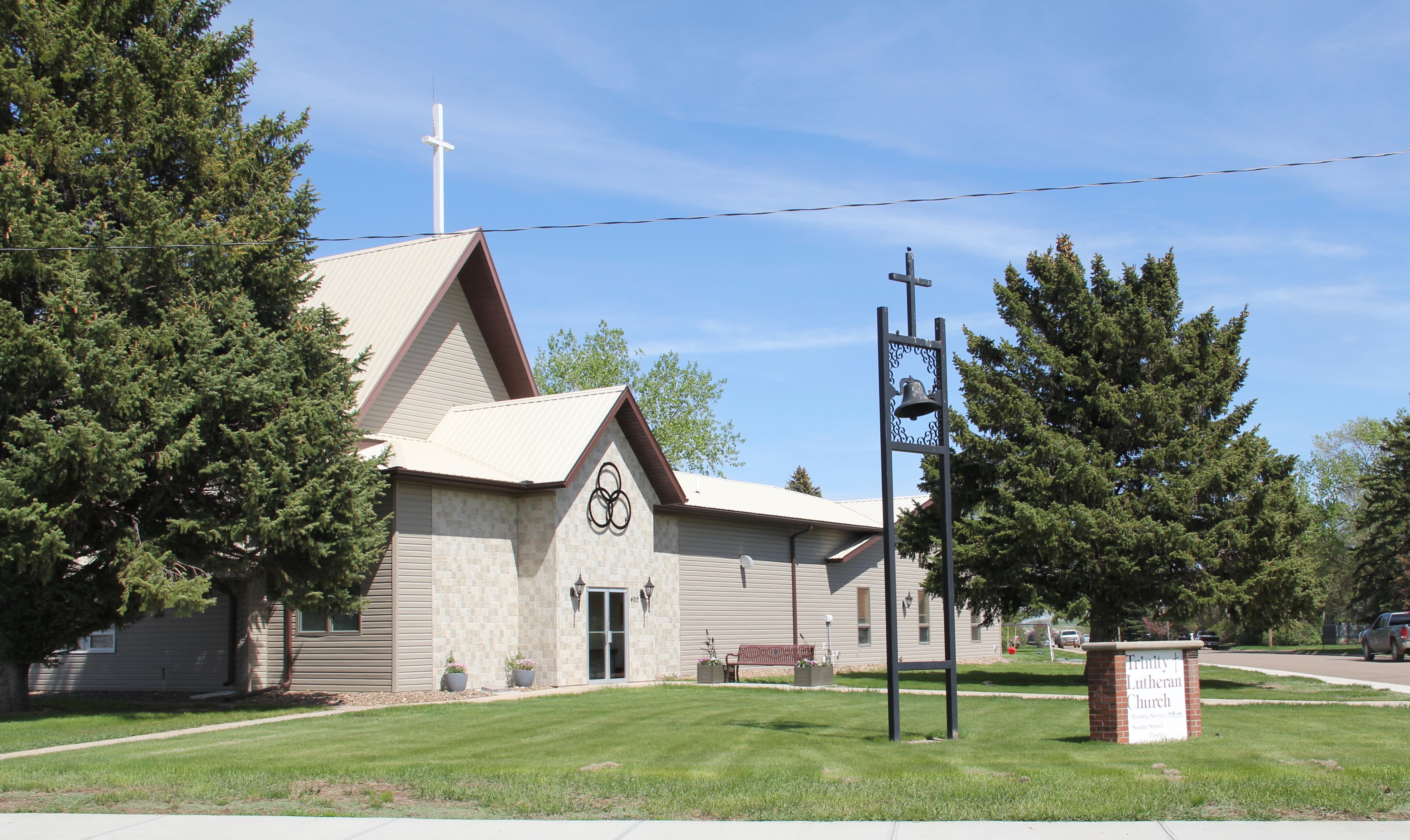


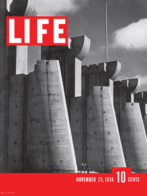
 First came efforts to better interpret the Corps of Discovery and their travels through this section of the Missouri River 15-20 years ago. The theme was Lewis & Clark in the Missouri River Country, but by the 2010s the region’s demanding weather had taken its toll on the installation.
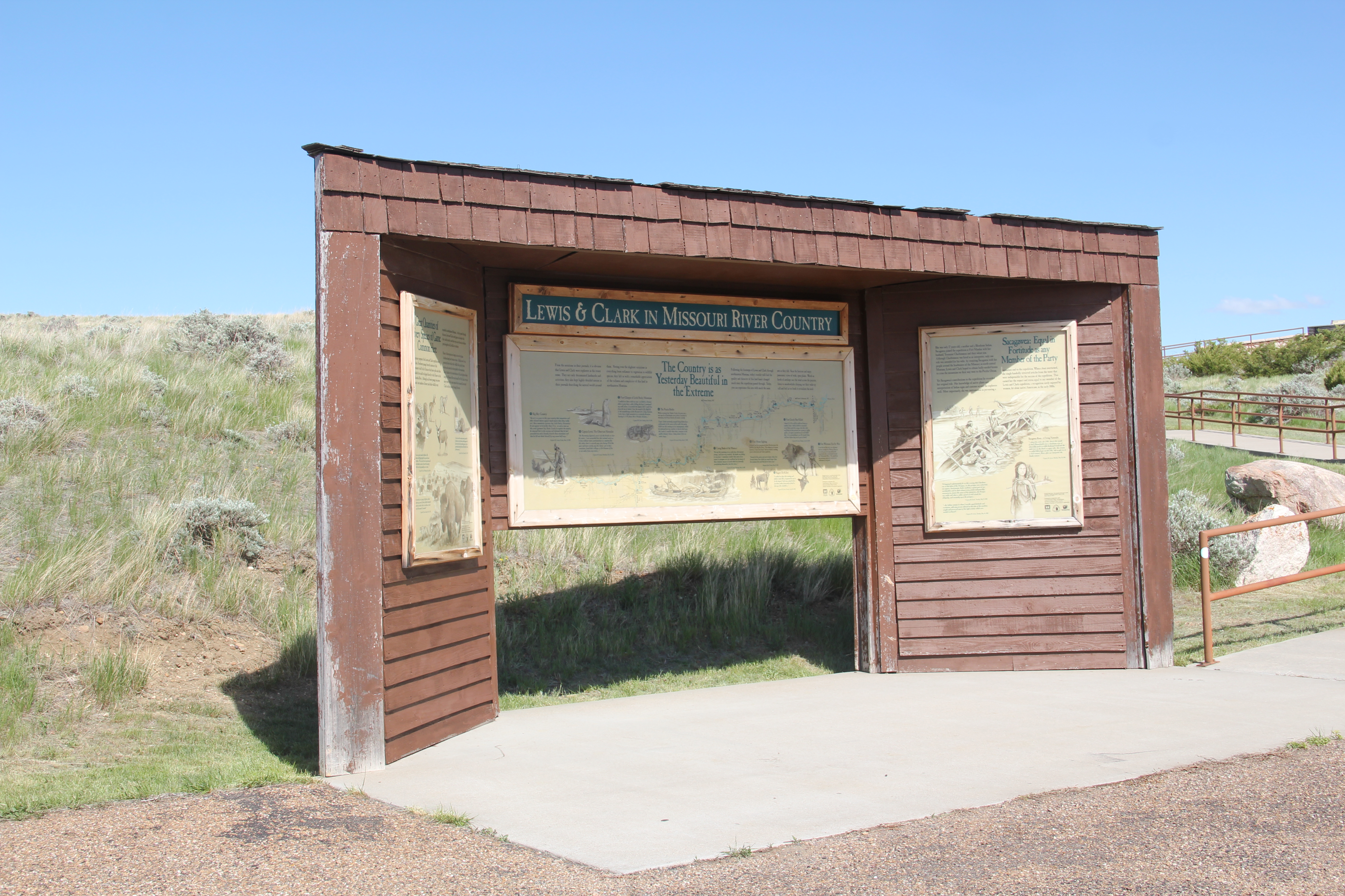


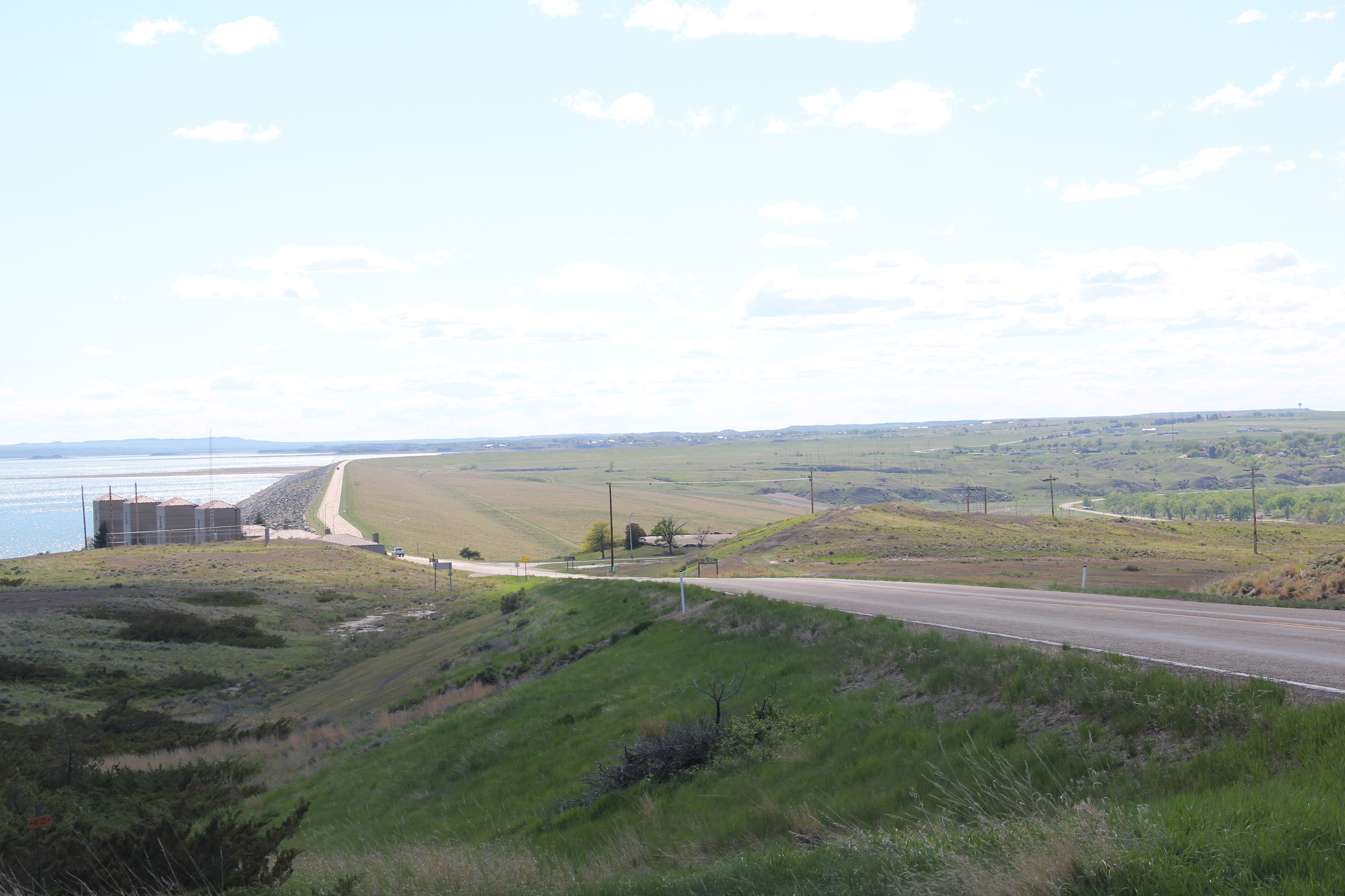
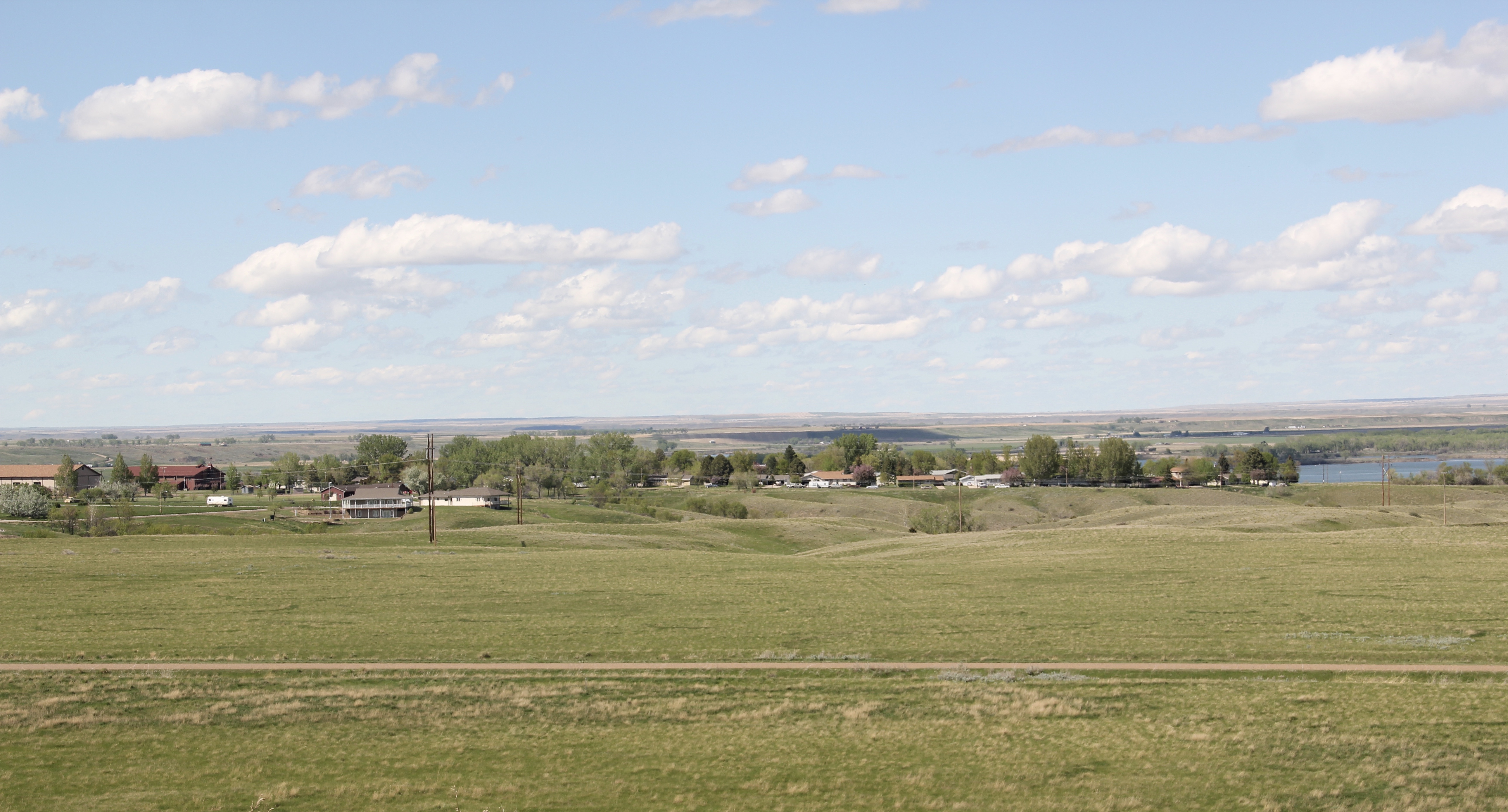
 At the lake’s edge are additional markers encouraging visitors to imagine the time before the lake when the Big Dry River often meant exactly what it said–the reservoir keeps it full now.
 New interpretive markers combine with a well-defined pull-off to encourage travelers to stop and think about the loss of life that occurred in building the dam. Many of the massive infrastructure projects of the New Deal have similarly sad stories to tell–but few of them do.
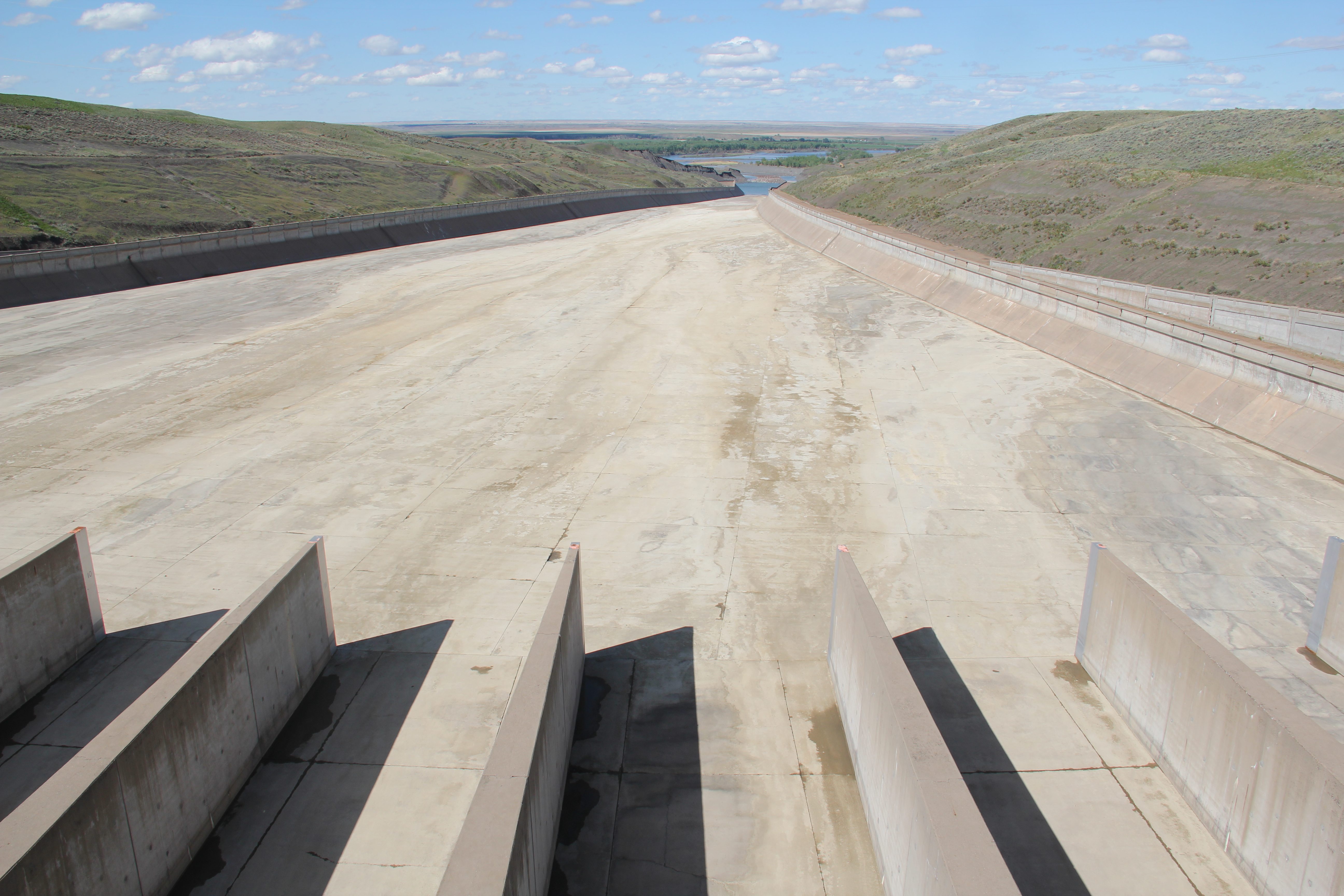
 You can explore the landscape with the assistance of the highway markers to a far greater degree than in the past. Even if today it is difficult to “see” the transformation brought about by the massive earthen dam, there are informative markers to help you.


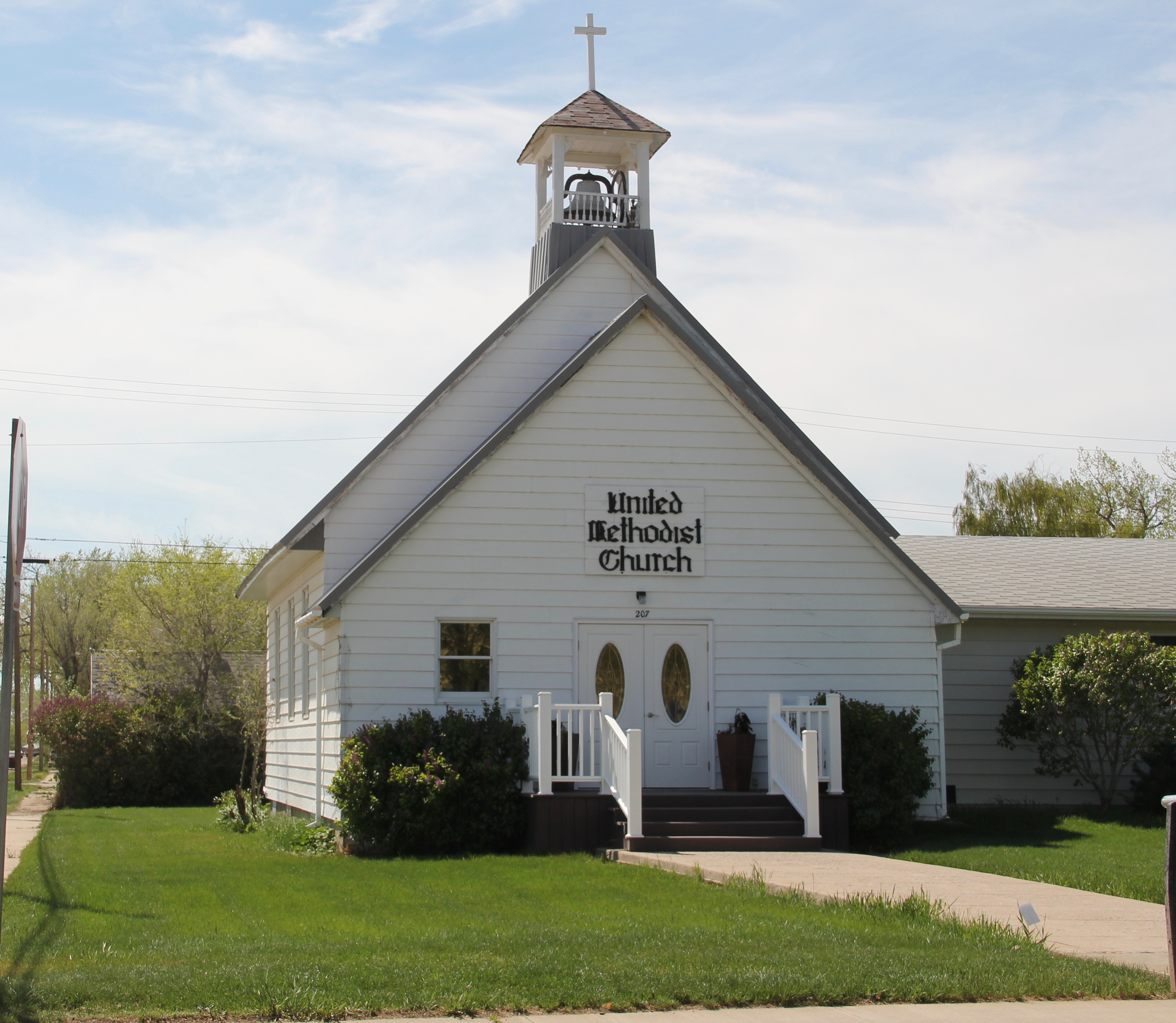
 St. Joseph Catholic Church, perched now on a barren bluff facing the lake, was moved about 2.5 miles east to its present location in 1954. Originally near the river in what was then known as the Canton Valley settlement, the church building is one of the state’s oldest, dating to 1874-1875 and is listed in the National Register of Historic Places. The proud Gothic styled church is the remnant of one of the valley’s earliest settlements.