 As you head north into Montana from Wyoming on U. S. 310, the first substantial place you encounter is Bridger, named for famed fur trader and early Yellowstone traveler Jim Bridger. Like its neighbor to the north in Fromberg, Bridger is another turn of the 20th century Northern Pacific Railroad town in the Clark’s Fork River Valley that was much the same from my initial visit 31 years ago. Its population had remained steady–a tad over 700, about the same as in 1984, and only 150 or so less than its height in 1950.
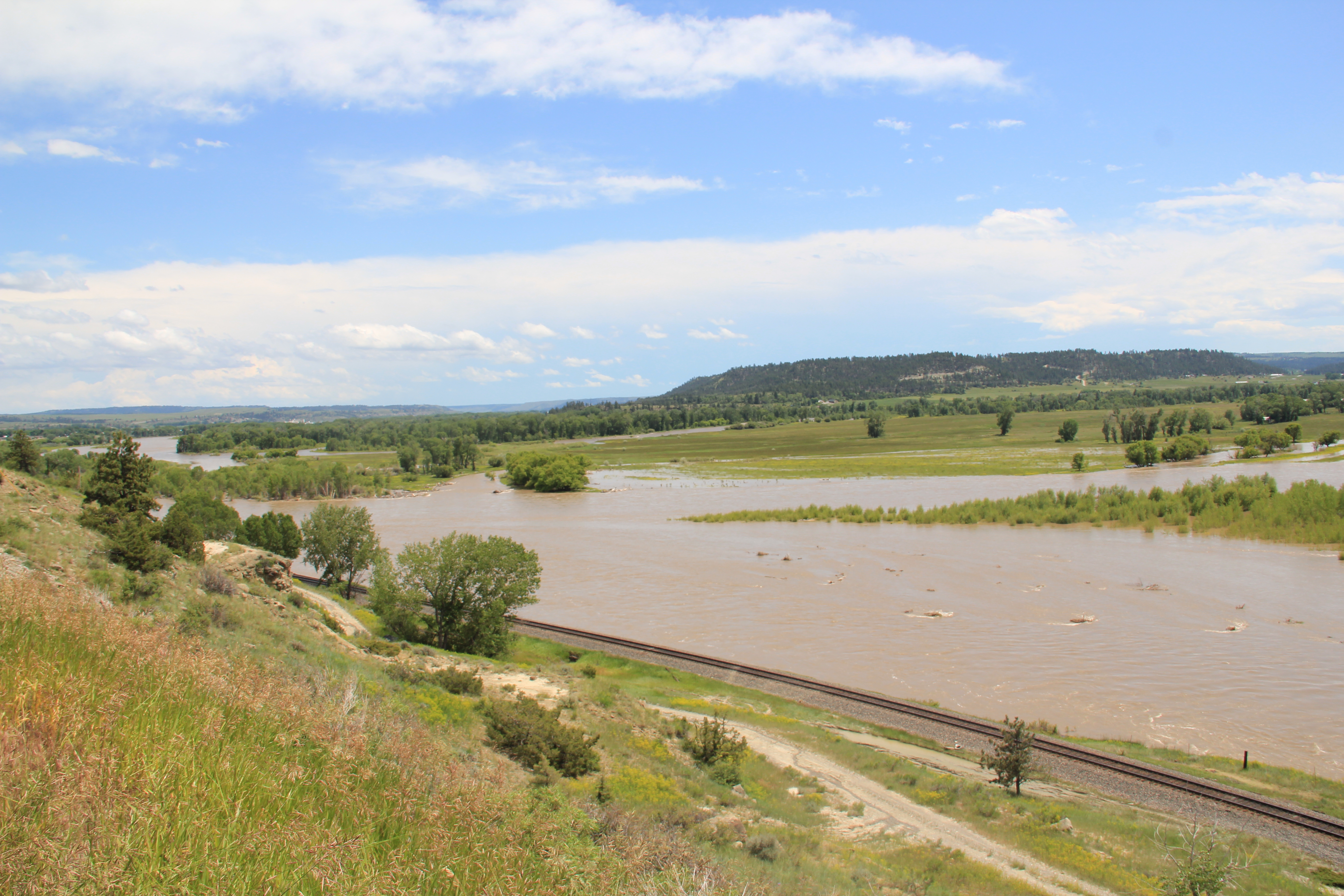
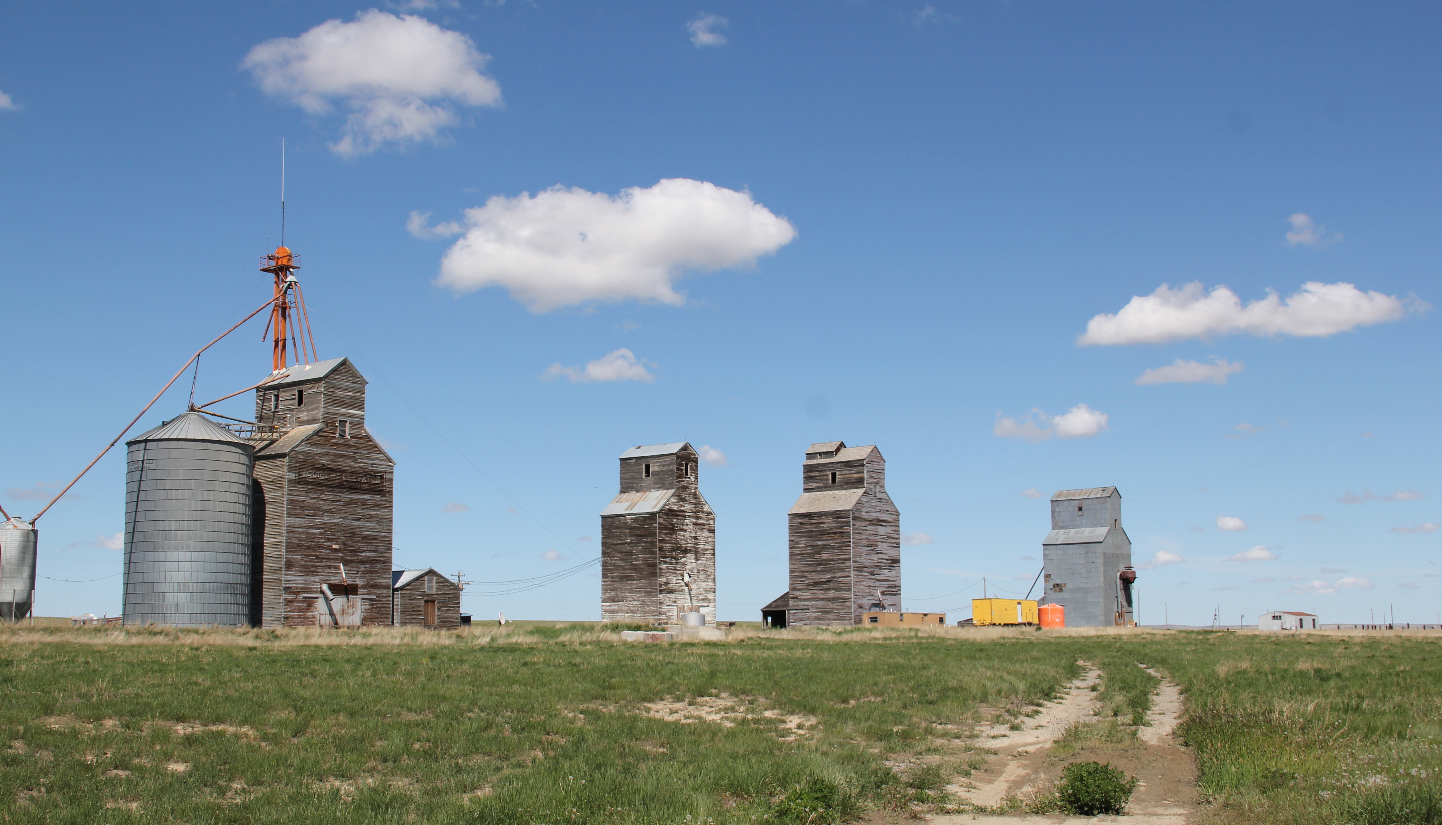
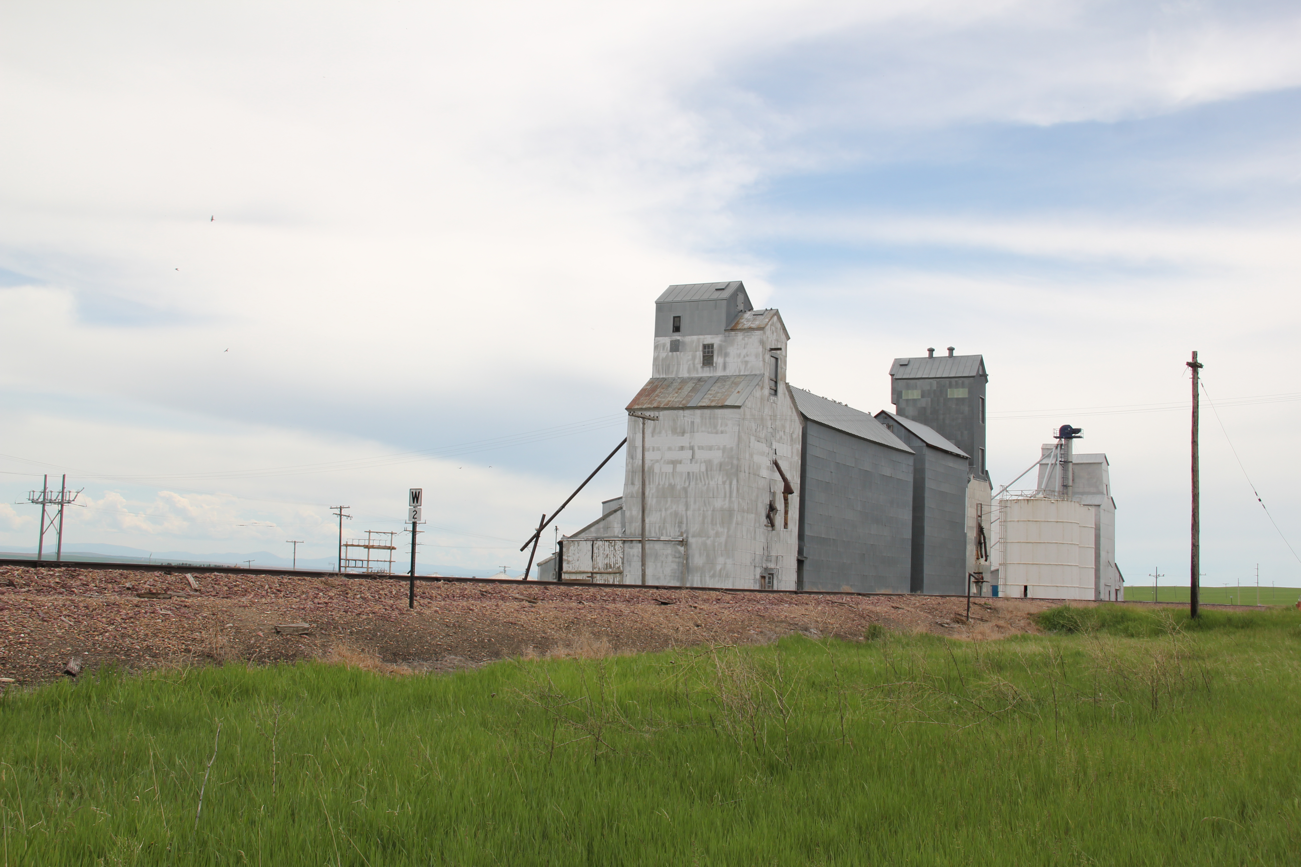
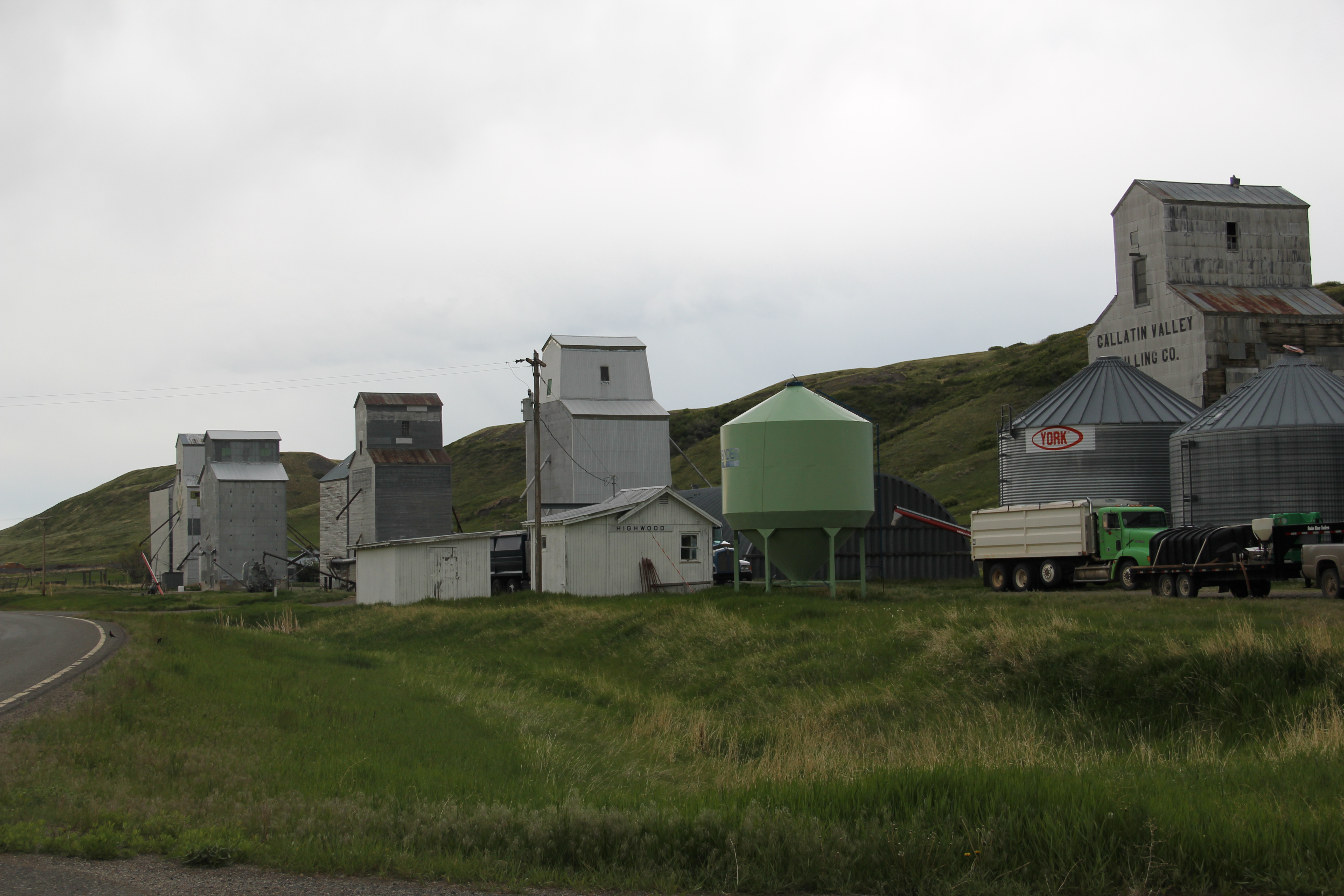
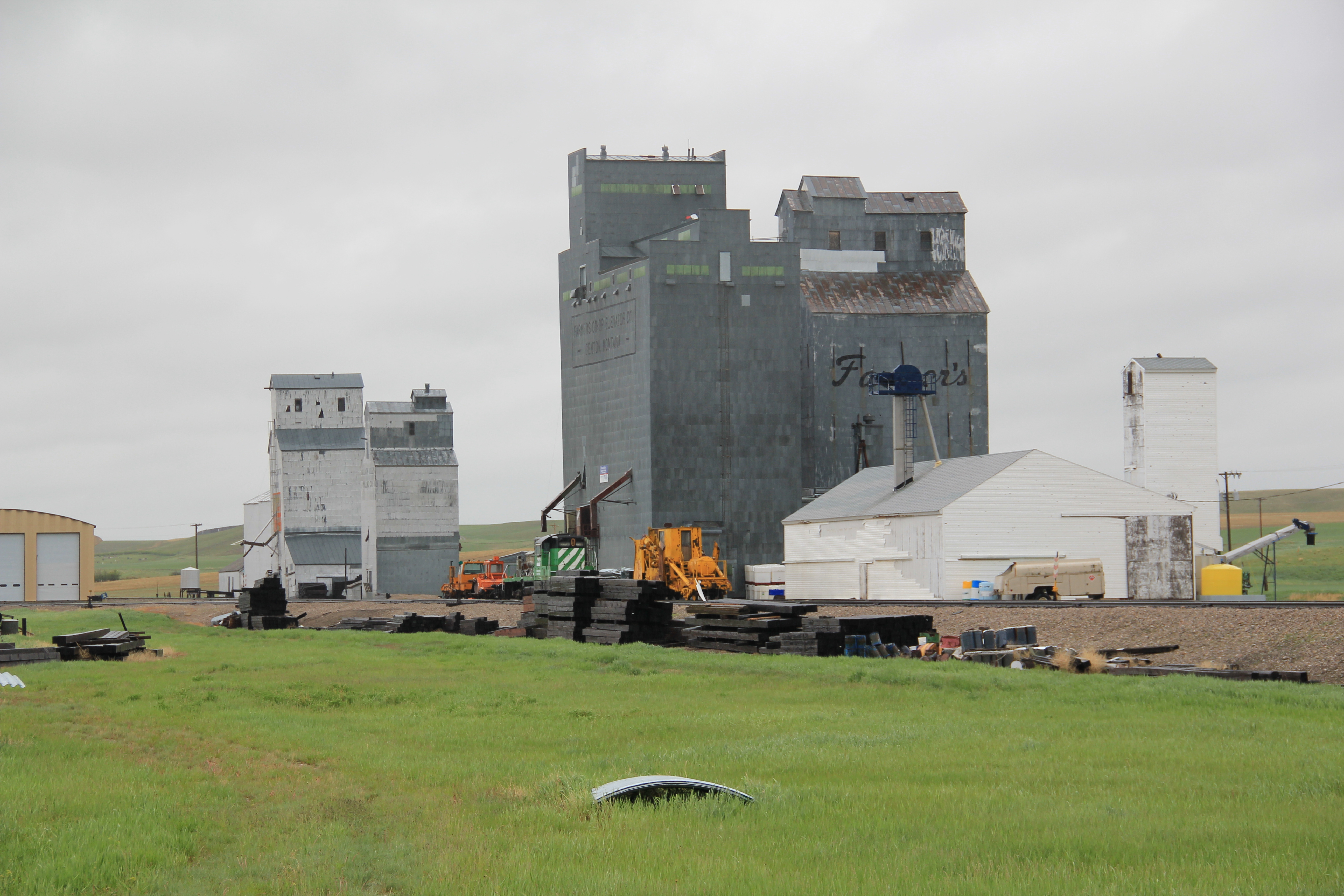
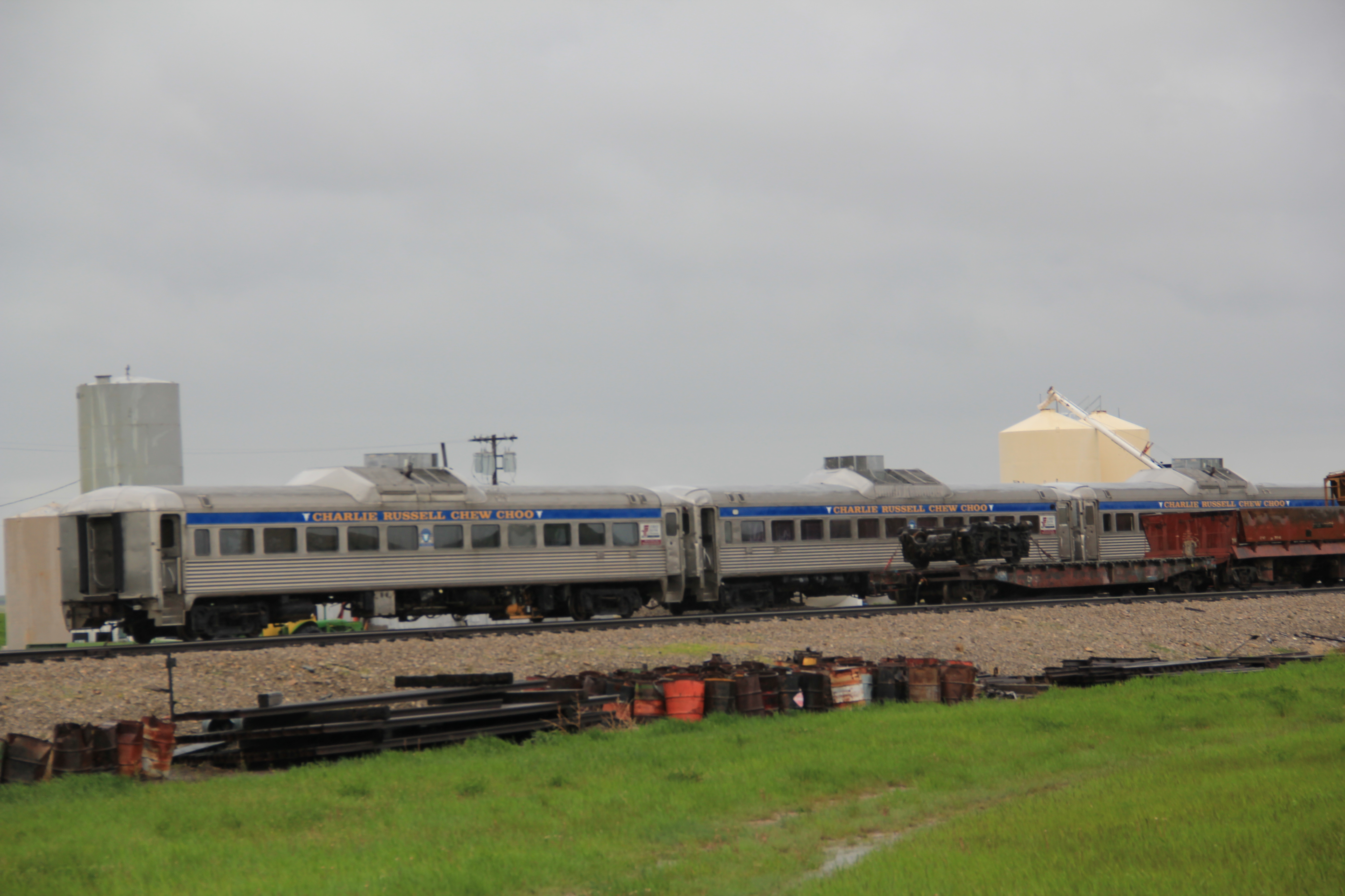
 The town’s grain elevators speak to the formative impact of the railroad. Here back in the late 1890s engineers followed a well worn and recognized Indian trail–a similar route to what Chief Joseph of the Nez Perce Indians chose a generation earlier as he tried to find safety for his people, traveling from Wyoming into the Clark’s Fork Valley.
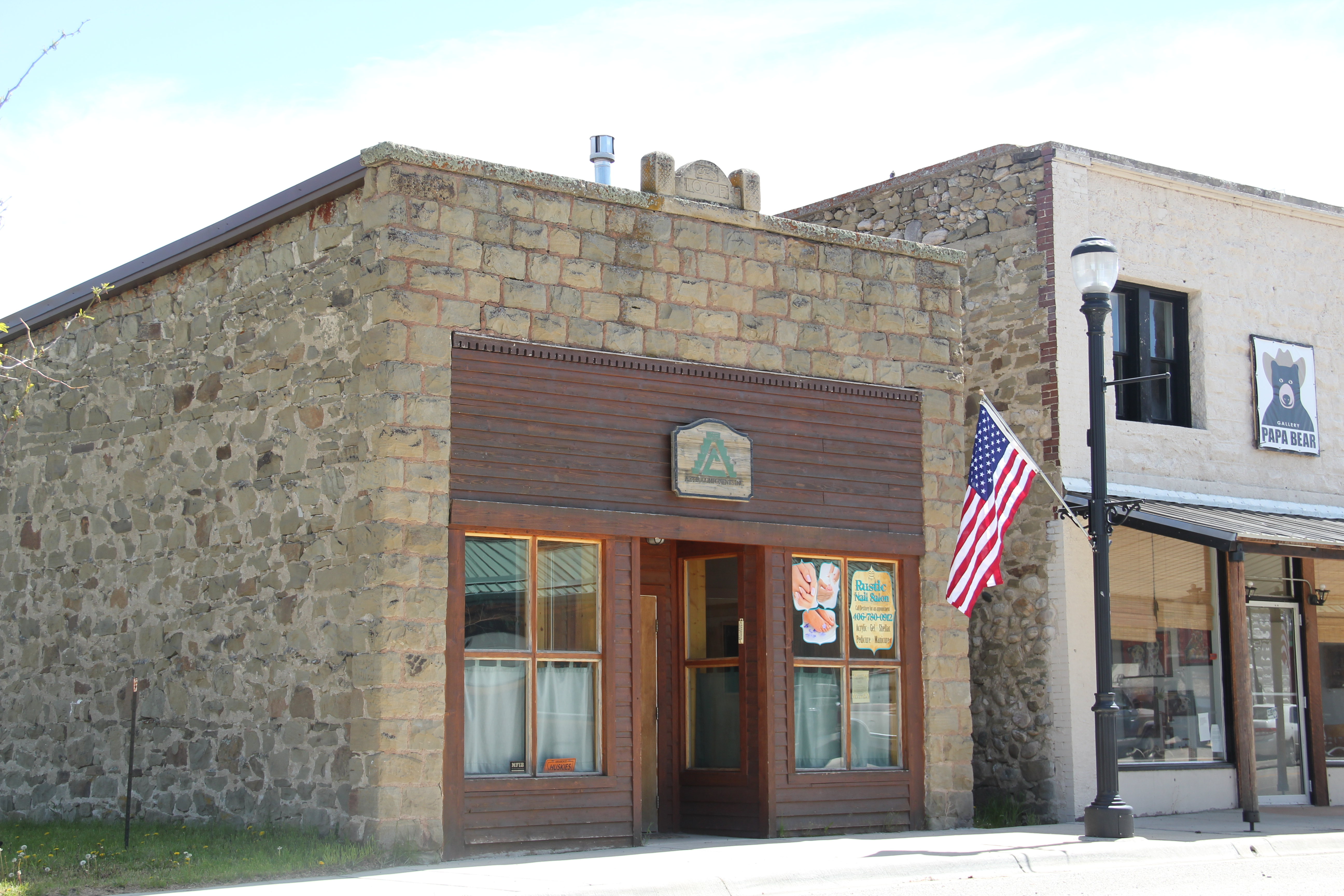
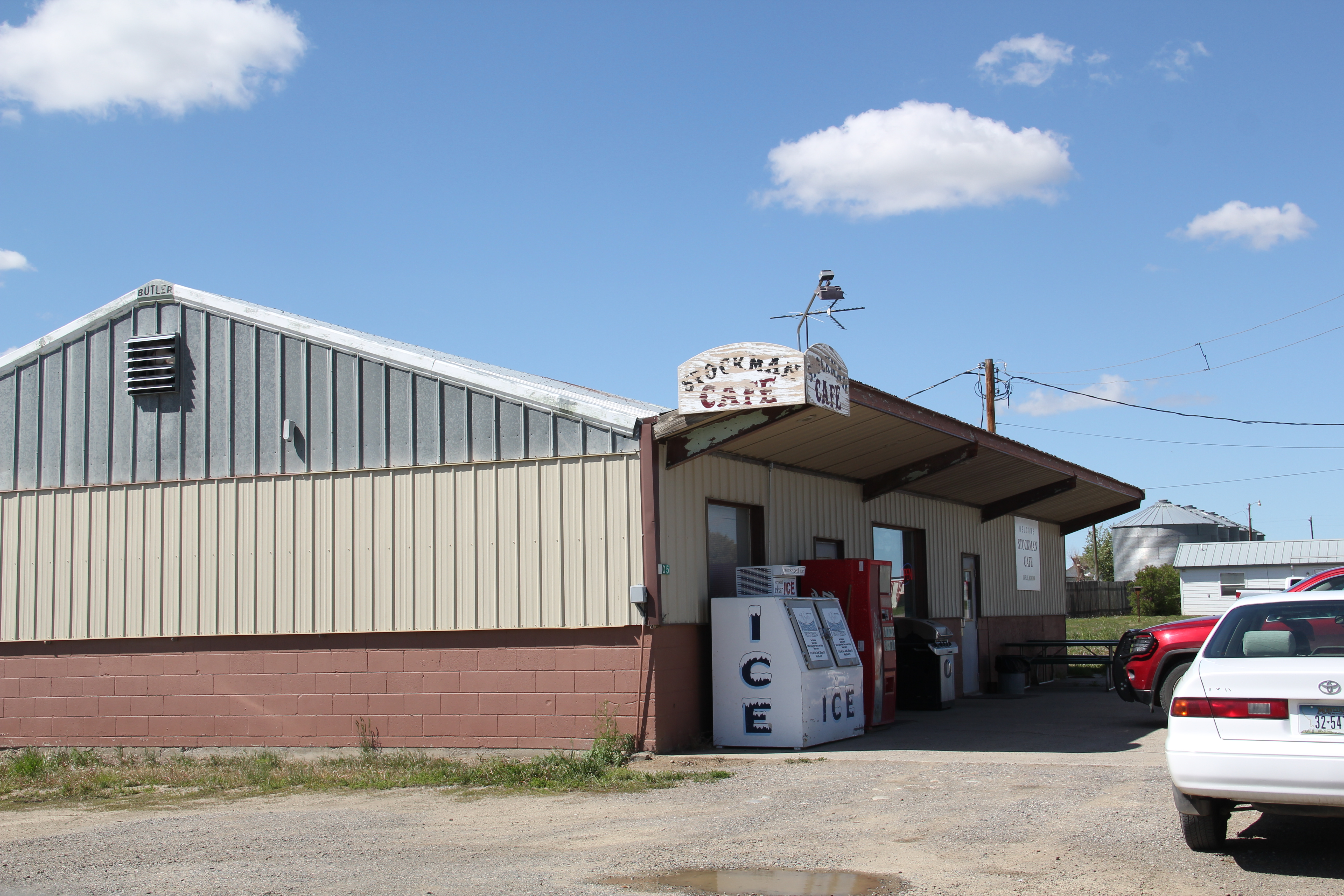
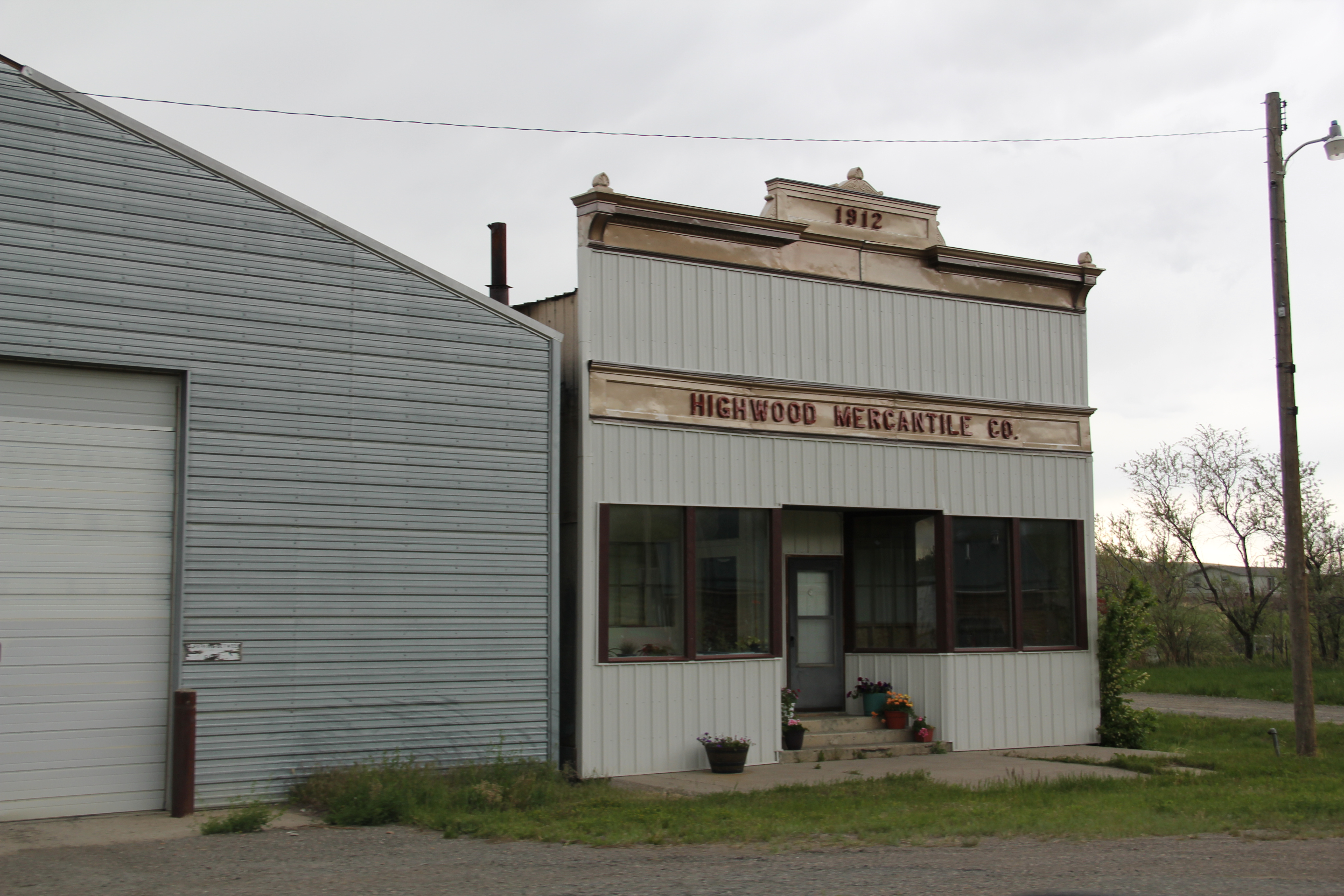
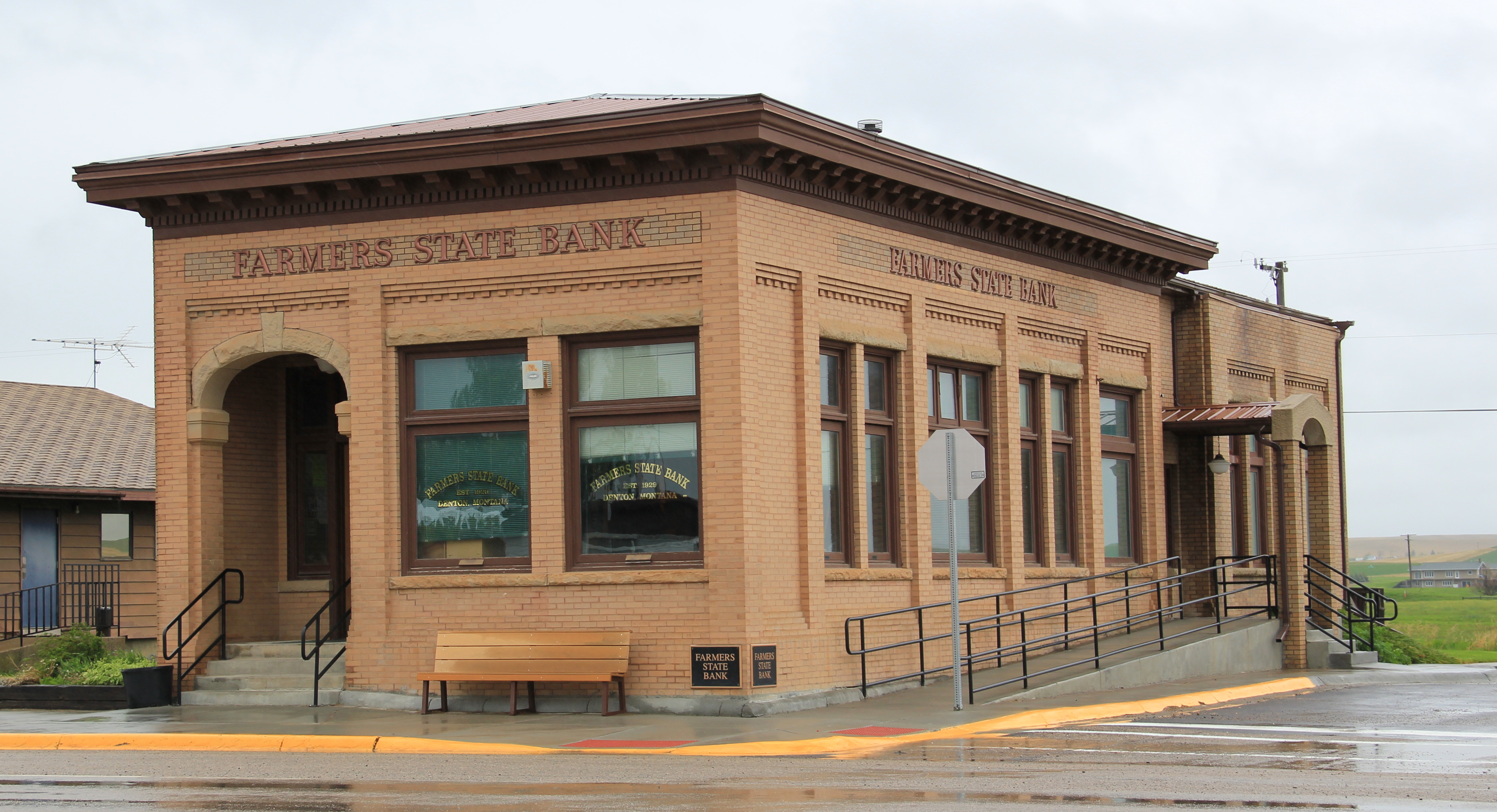
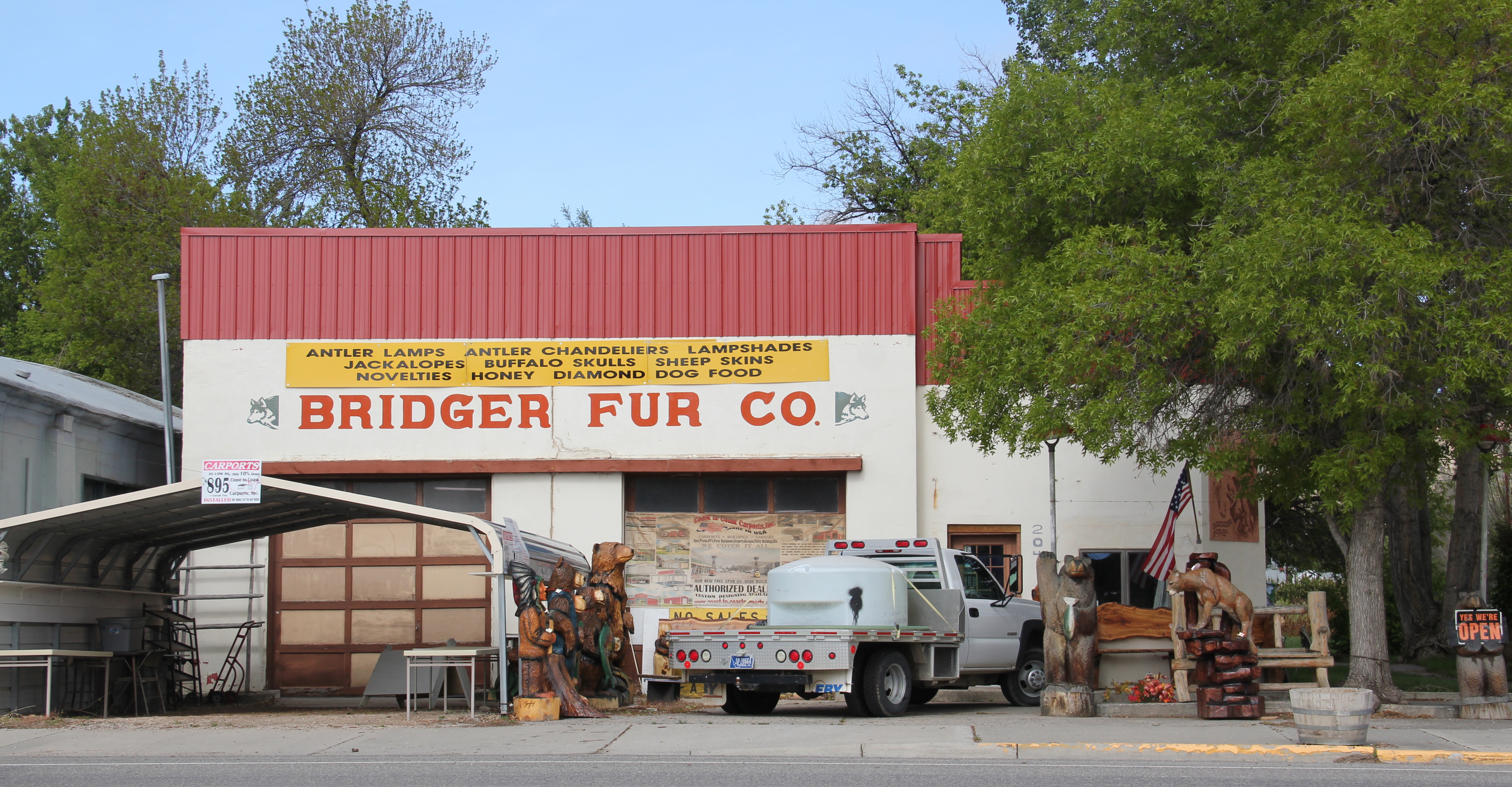
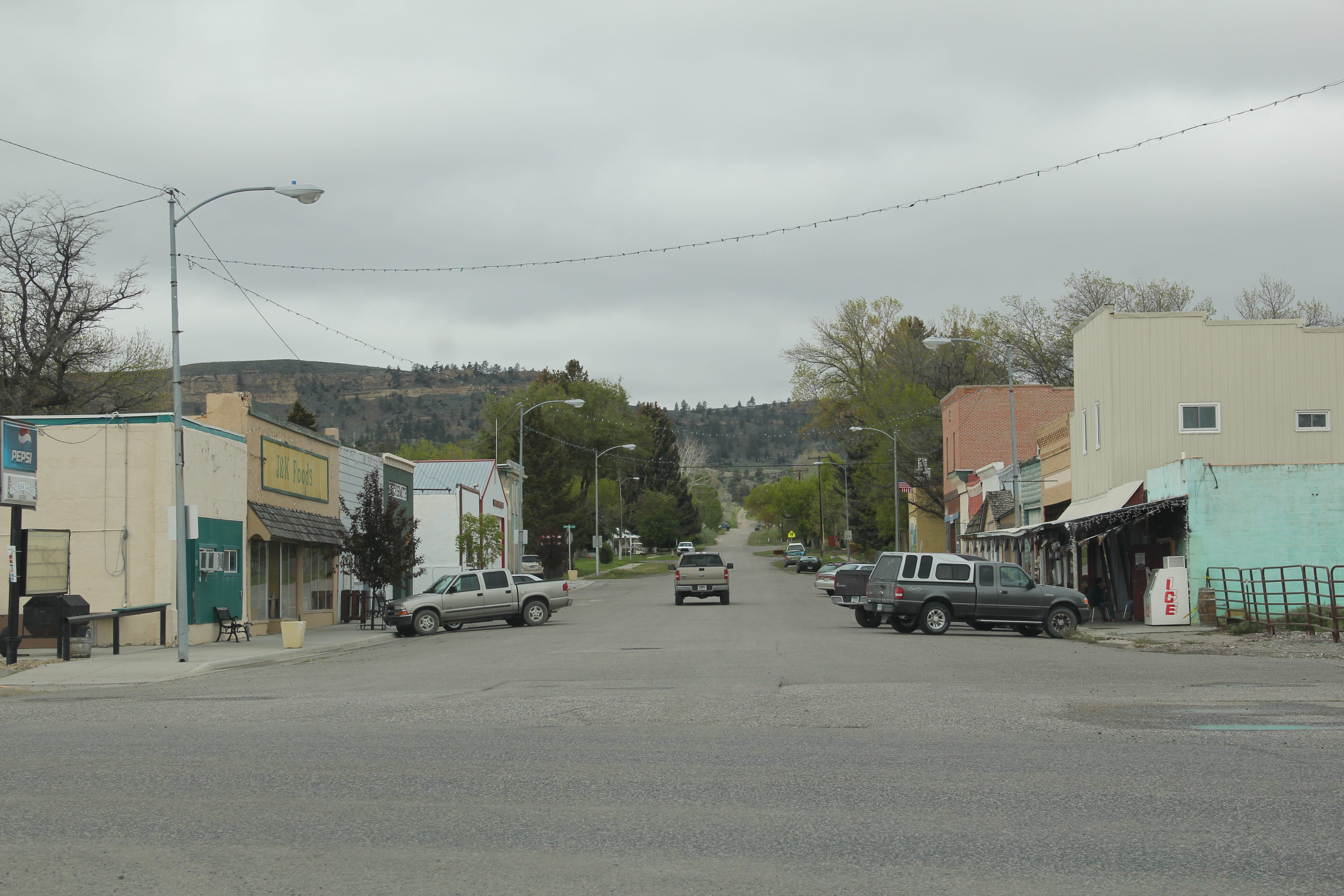
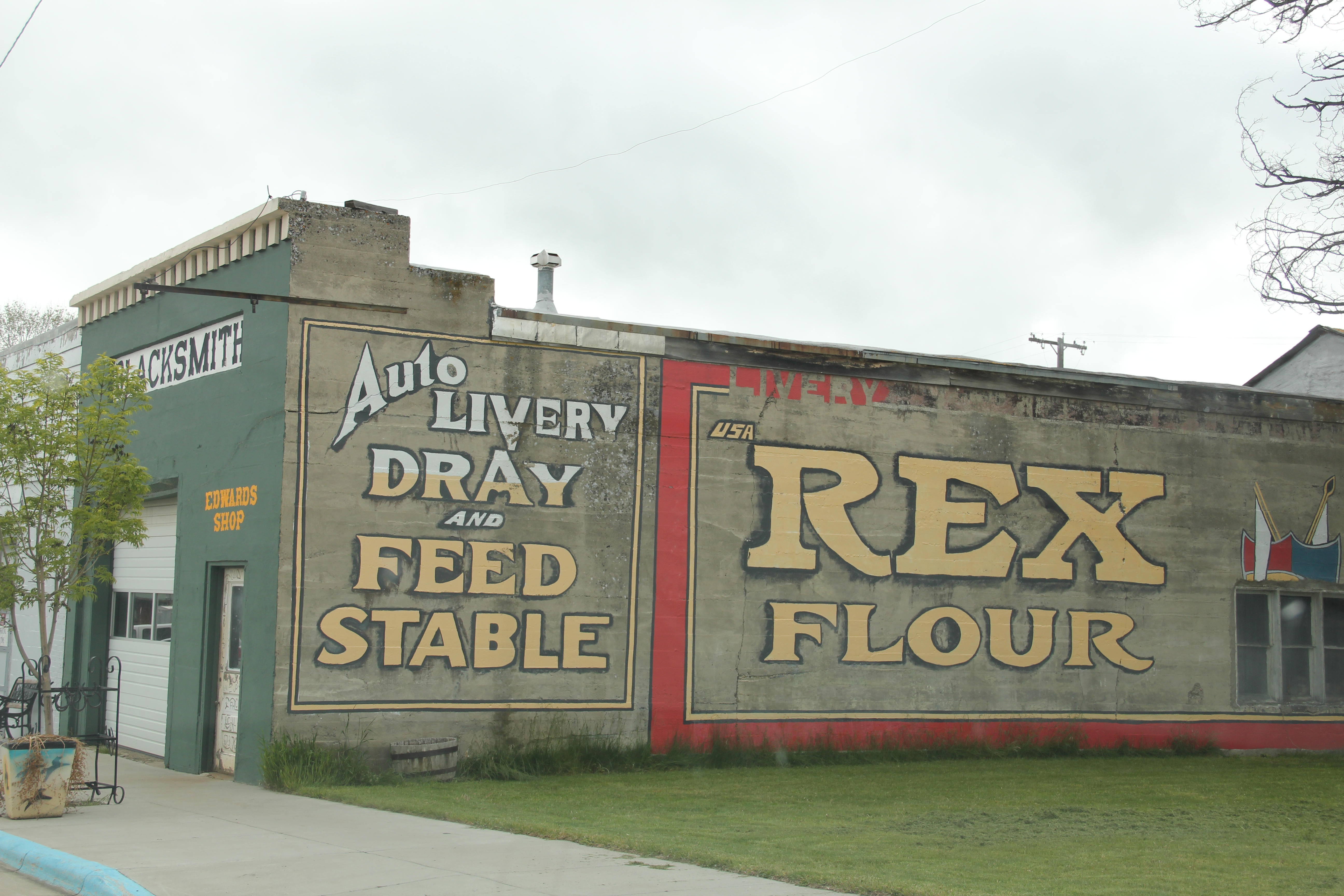
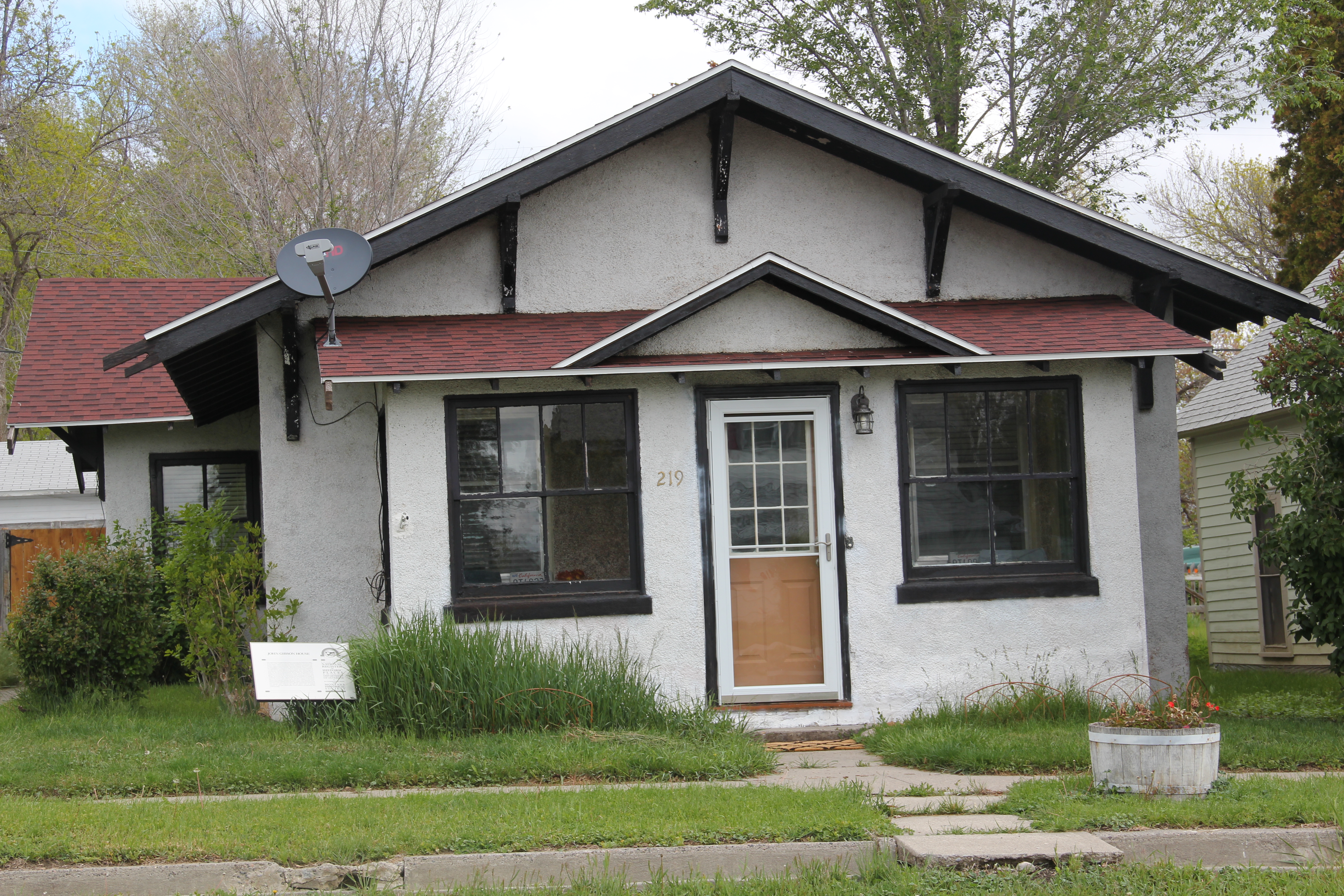
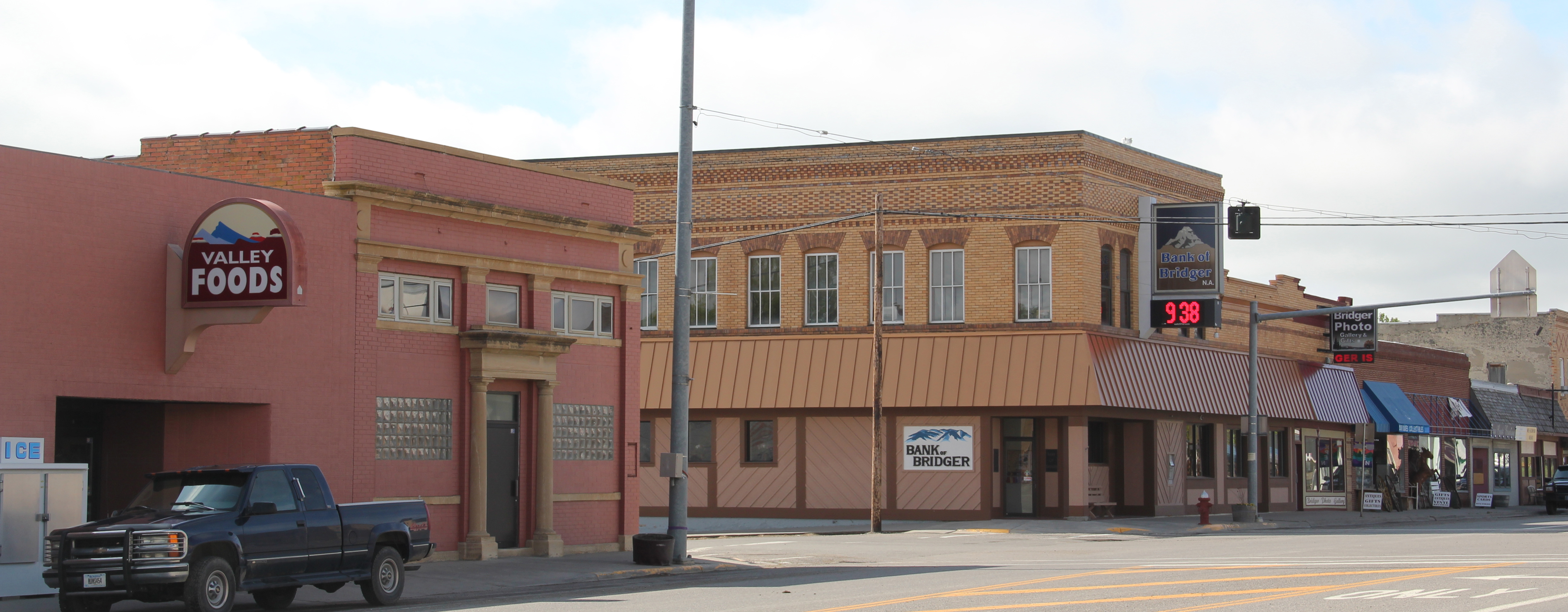 The town’s commercial district retains much of its early 20th century look. Old bank buildings dominate the town center, while substantial 2-story commercial buildings (including properties listed in the National Register) remain, showing how quickly merchants came to Bridger and launched businesses to attract the growing number of homesteaders in the Clark’s Fork River valley in the 1910s.


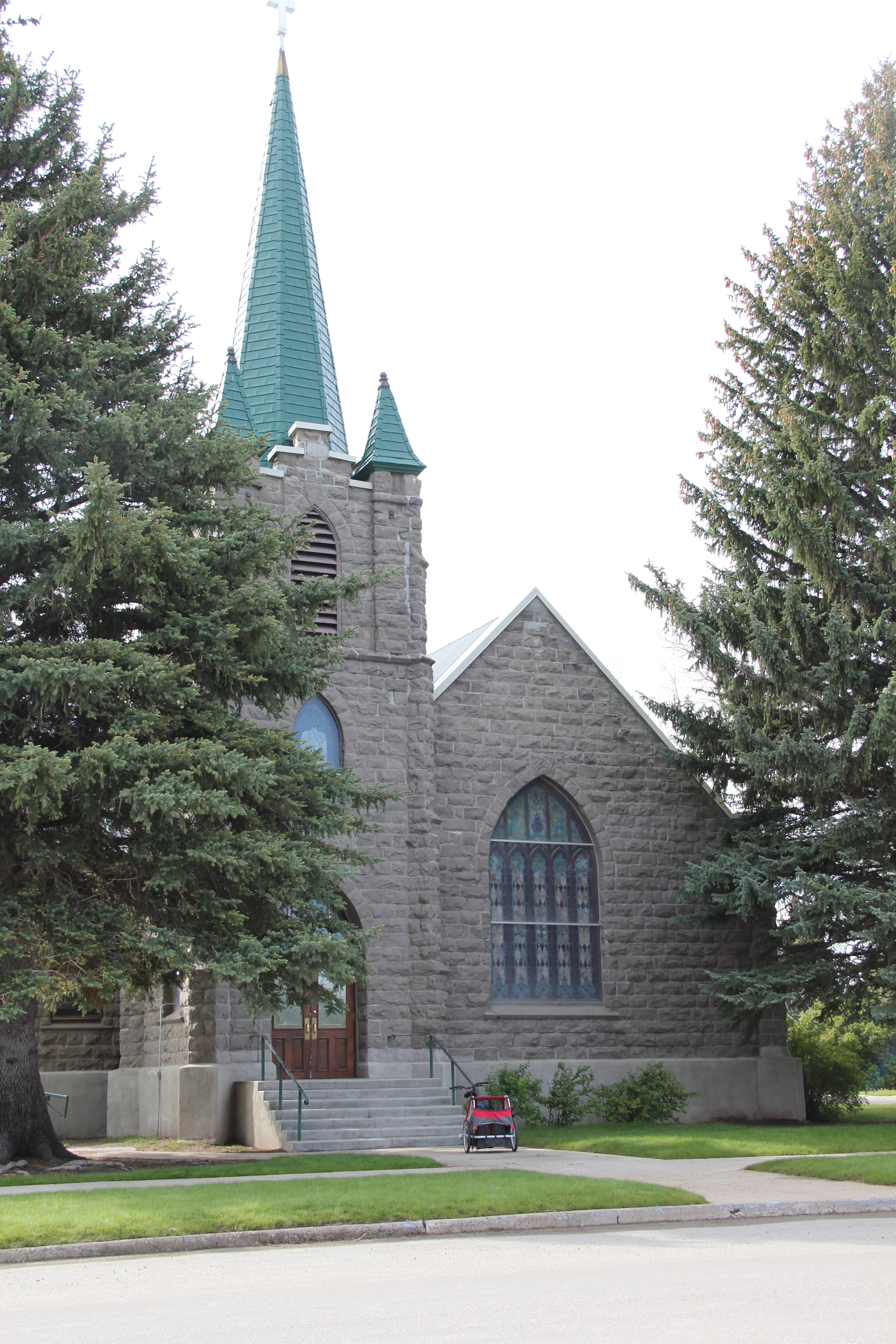
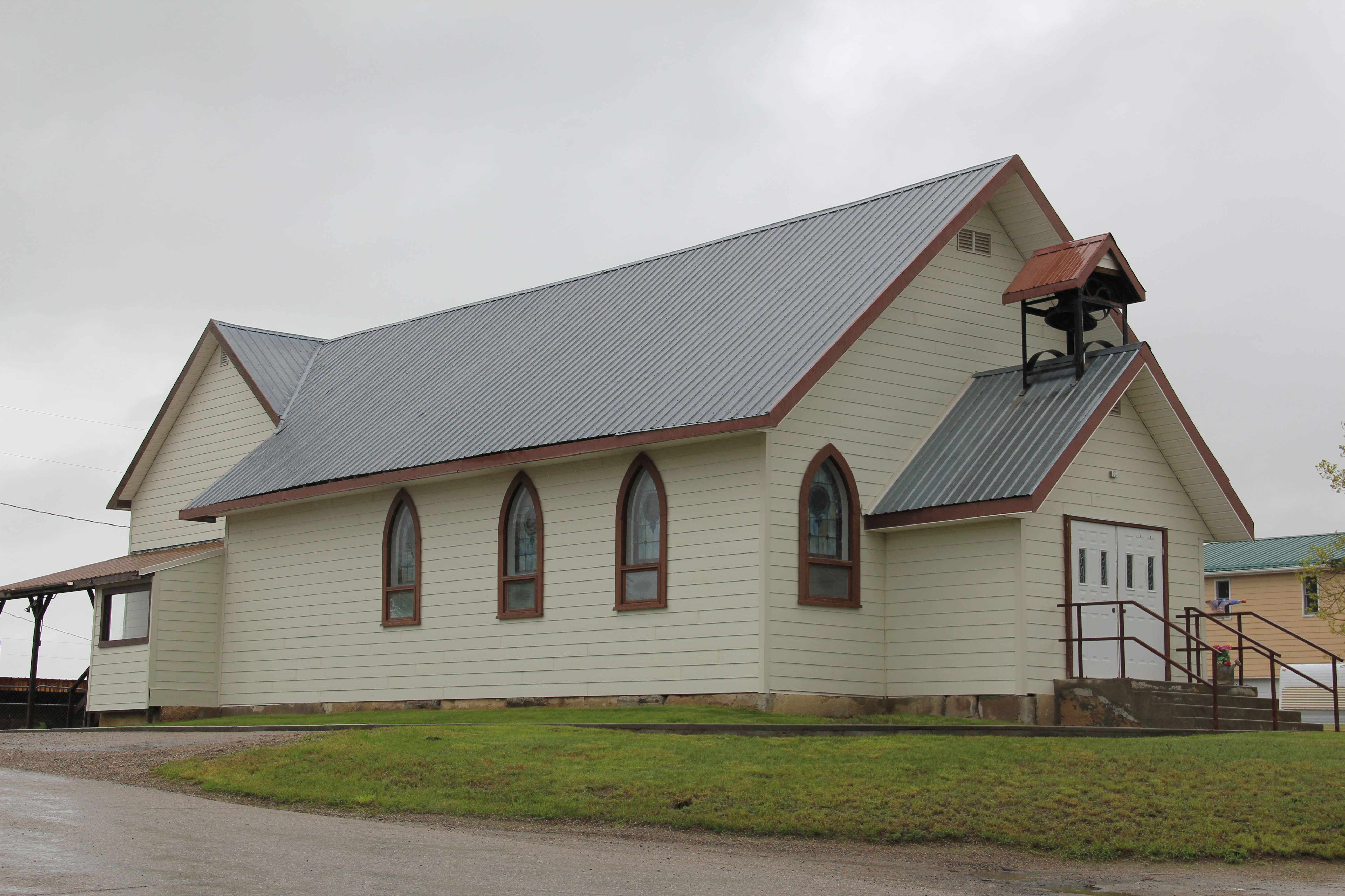
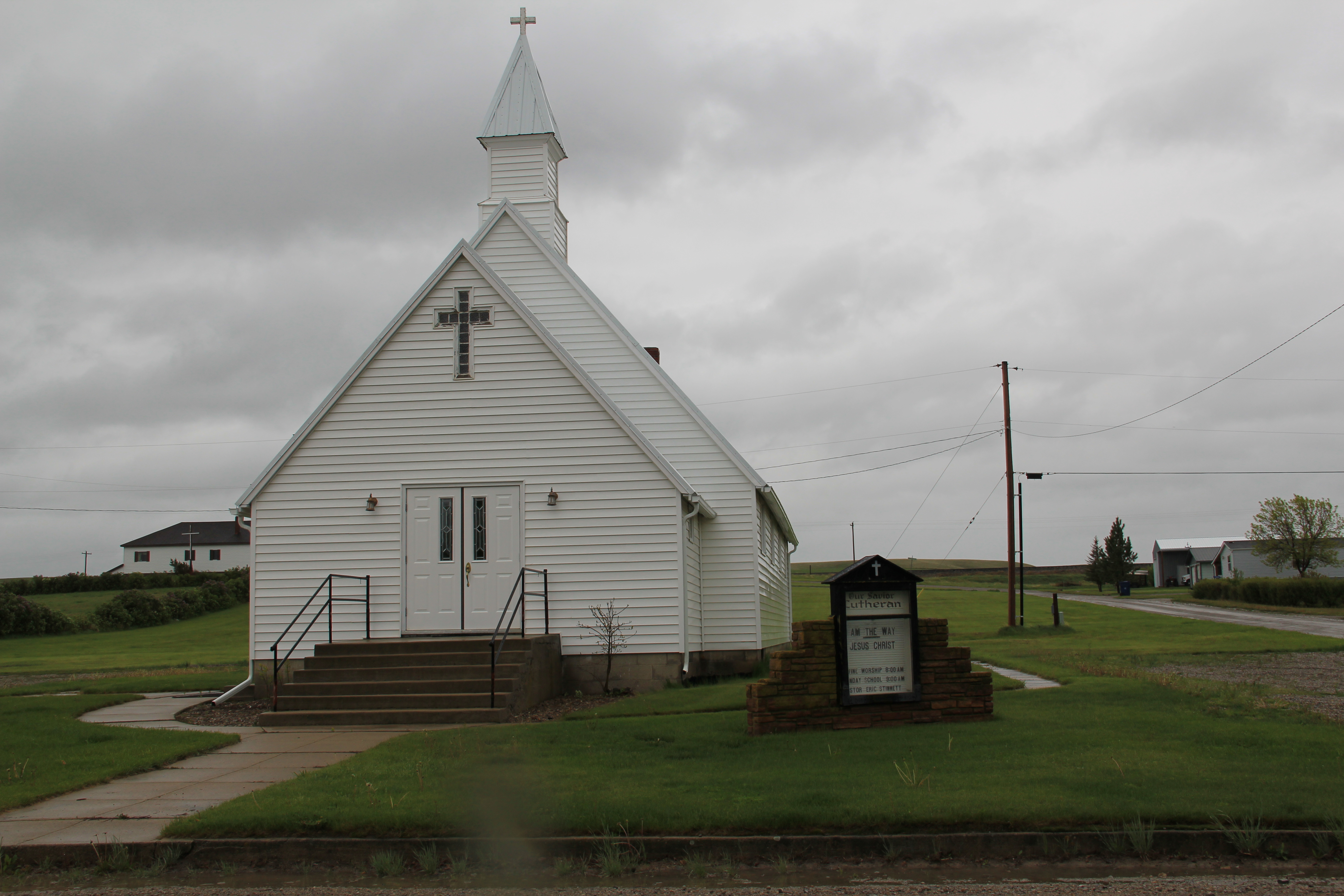
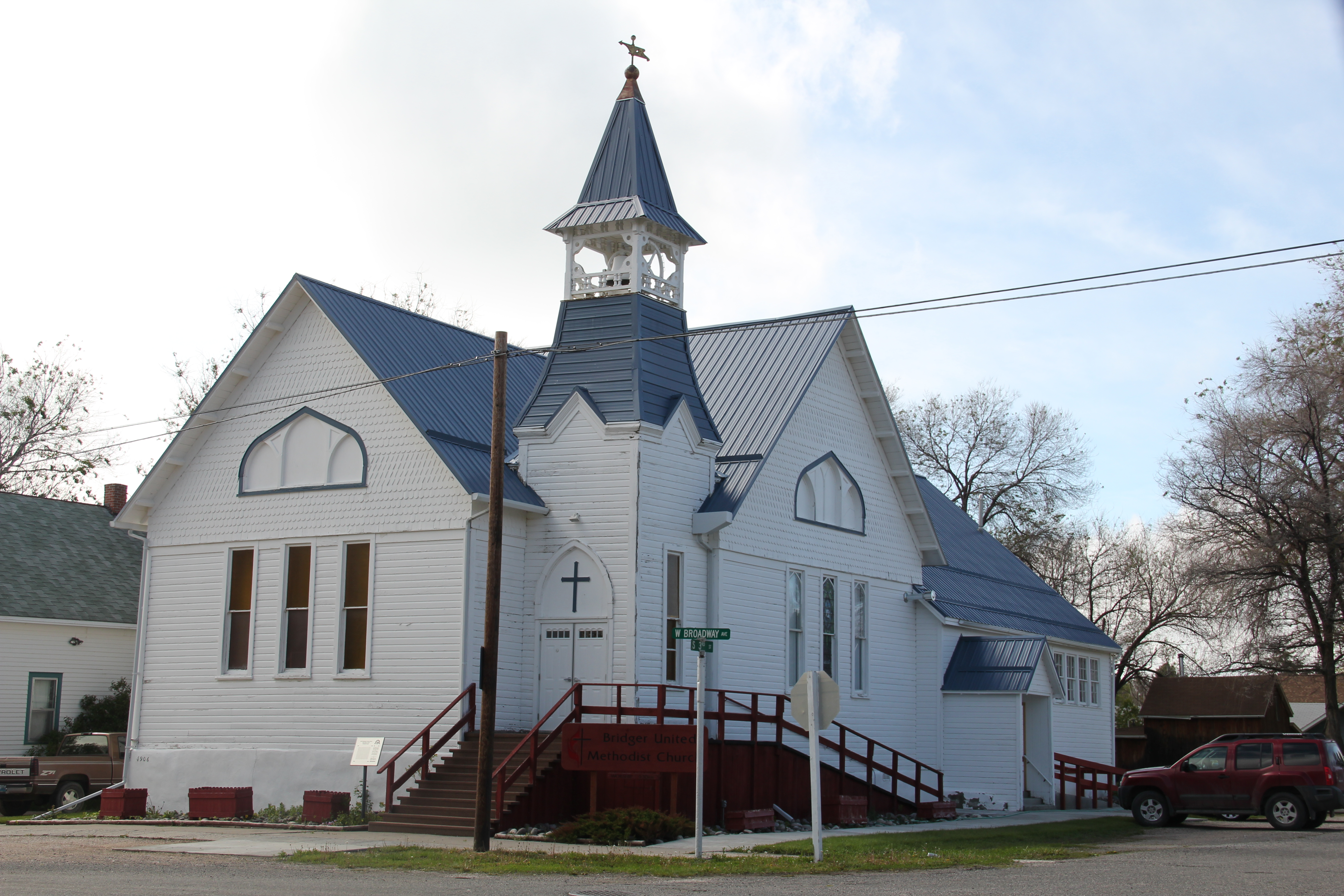
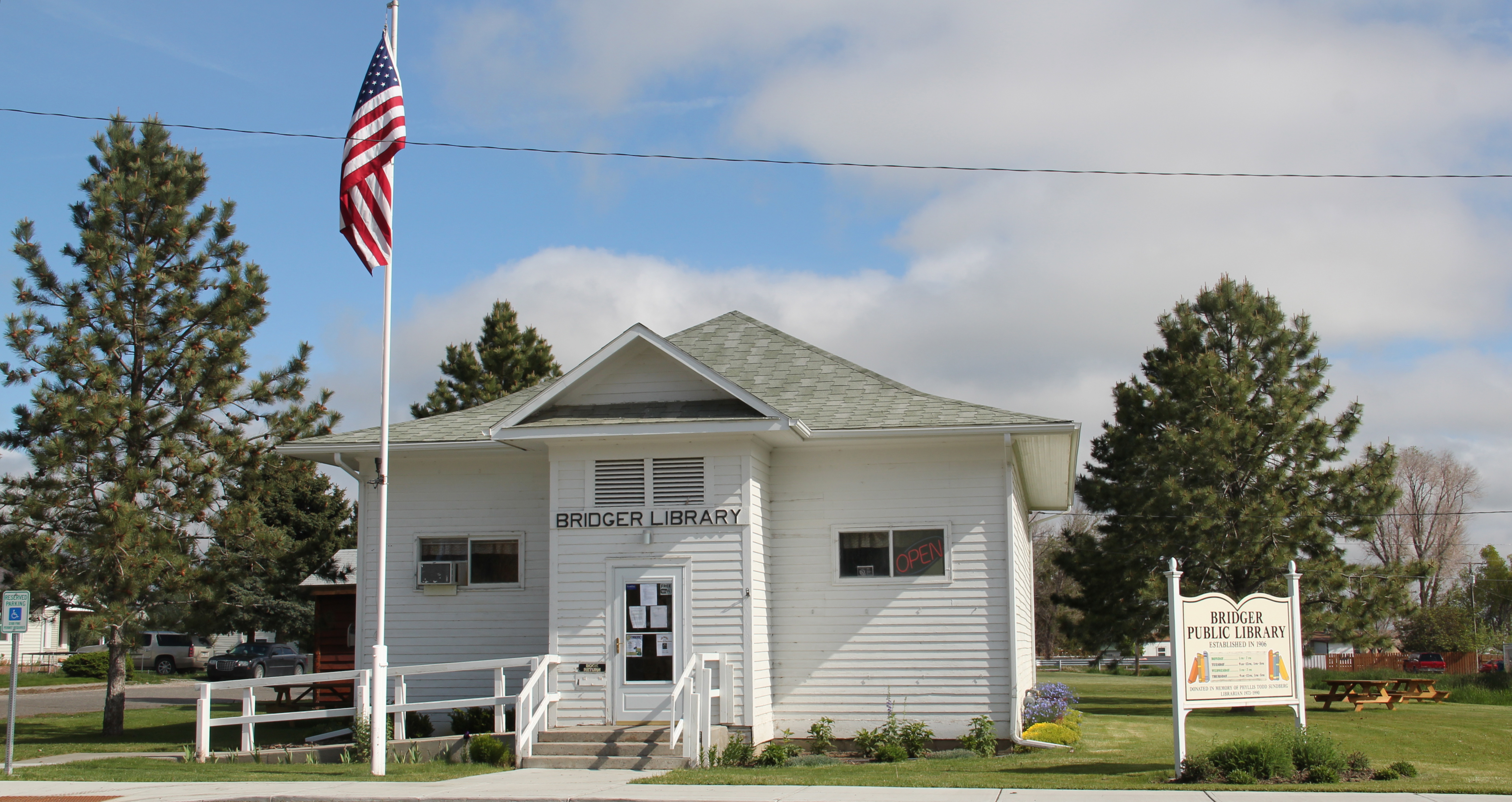
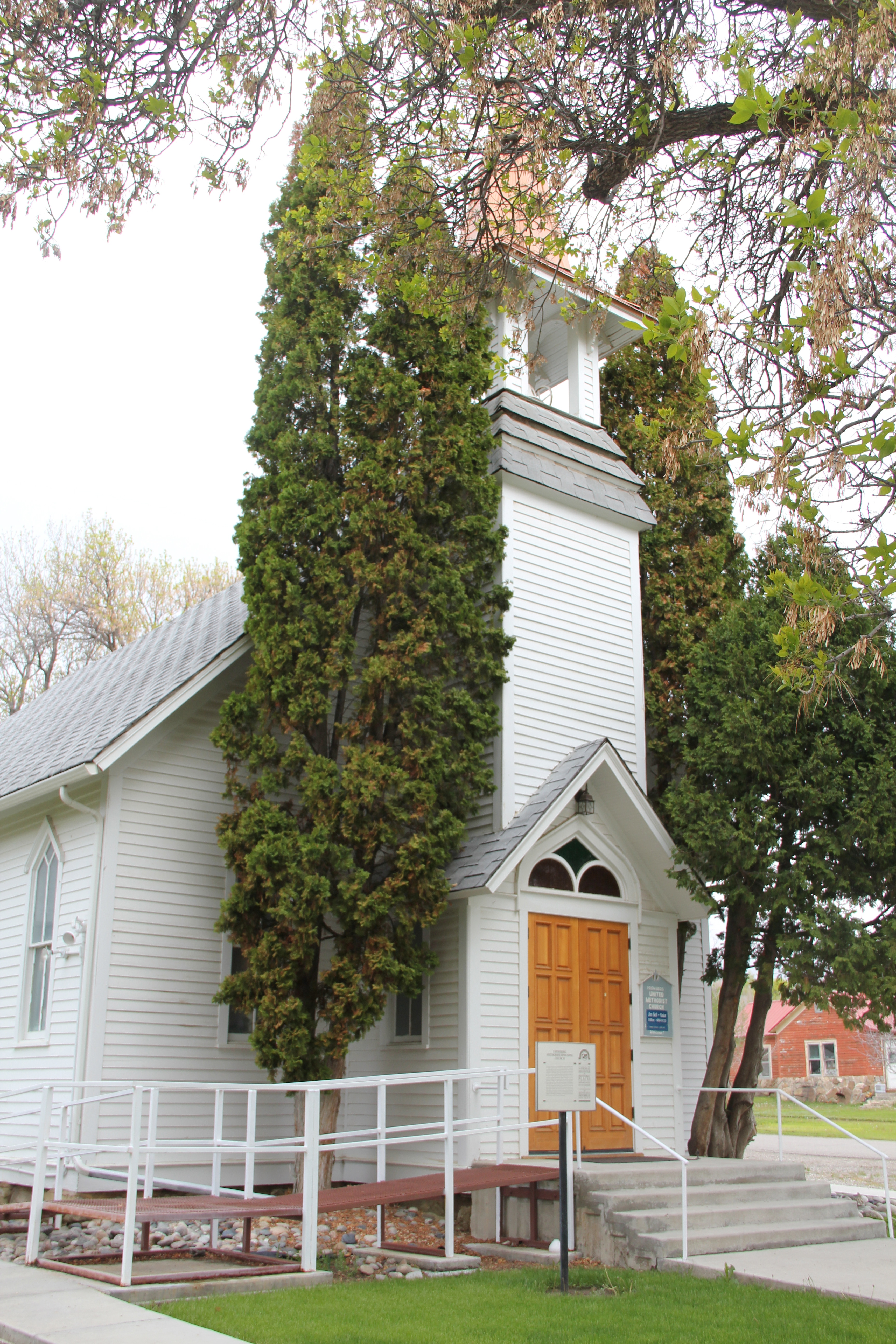
 That first generation of settlers did their part to build lasting community institutions. The Bridger United Methodist Church is an impressive example of vernacular Gothic design. It is listed in the National Register of Historic Places. The town library is almost a picture perfect example of what this institution should look like in a small town setting.
 The irrigation ditch drifting through the town park is a reminder of how the engineered landscape of irrigated fields provided much of Bridger’s early wealth and development. The park itself was a creation of the Works Progress Administration in the late 1930s.

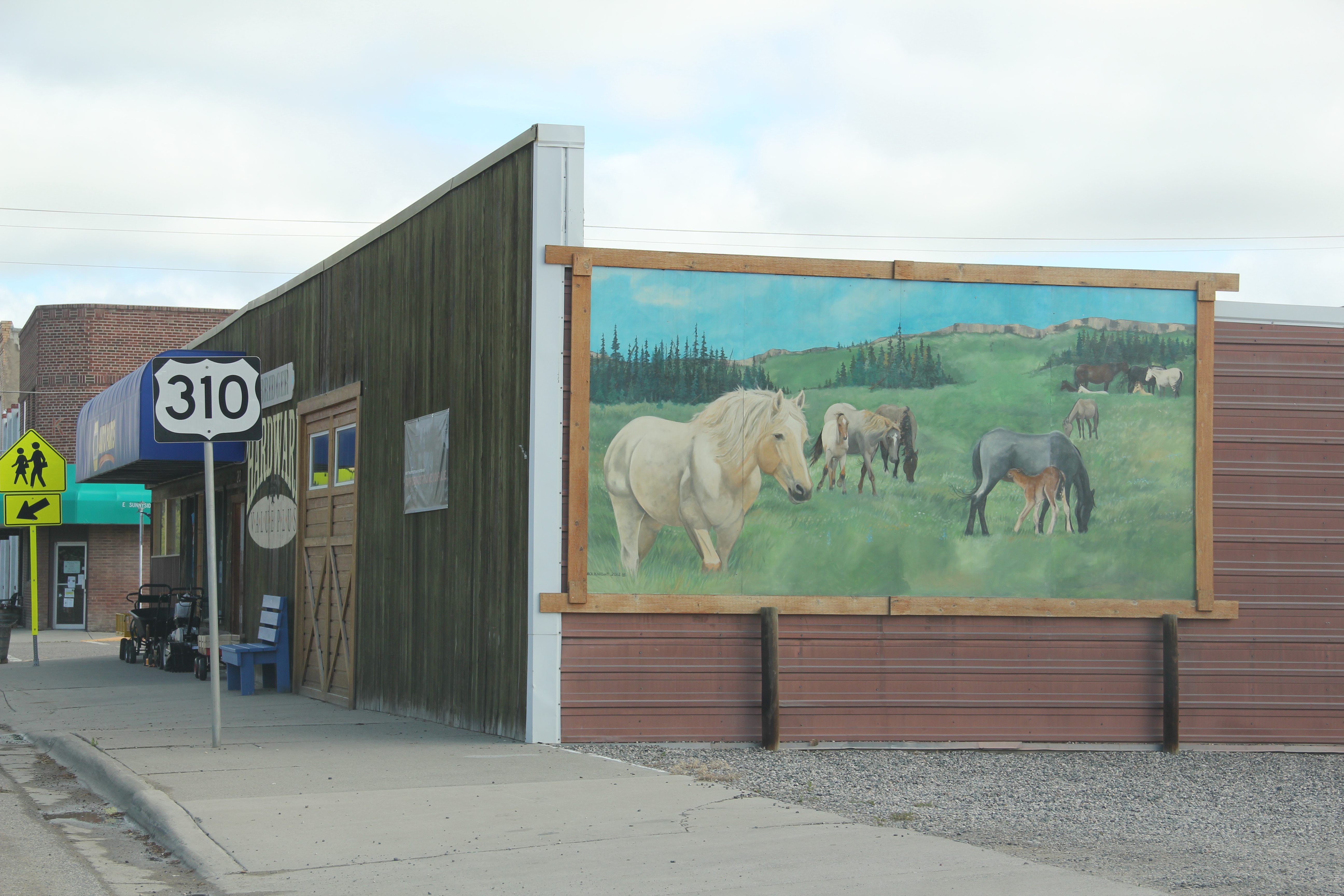
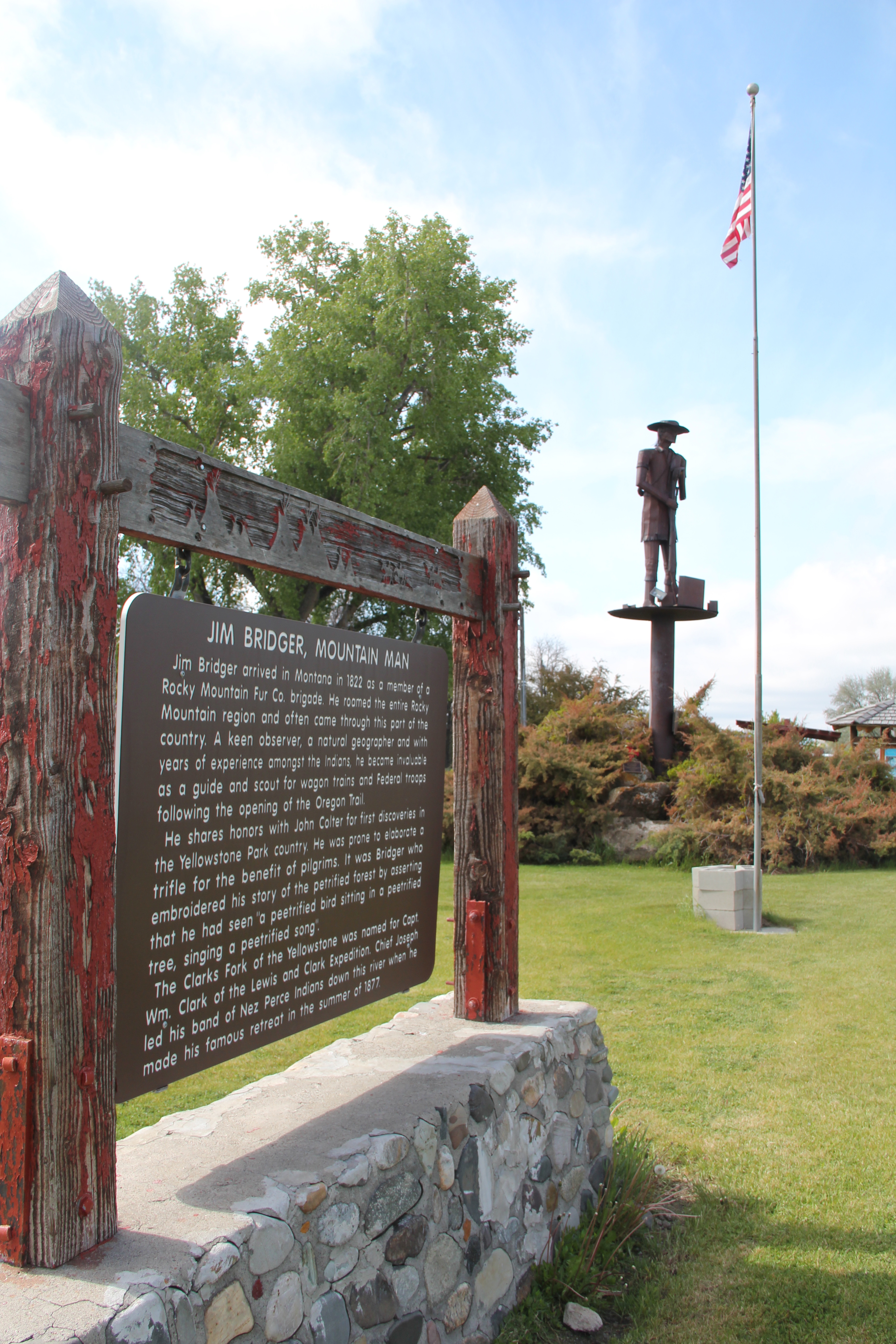
Within the park is a ceramic and brick arch, one of the town’s many examples of public art. The mural on a side of a store seen earlier in this post is another example while creative metal statues of wild horses grazing or the imposing figure of Jim Bridger himself welcoming visitors at the southern end of the town underscores a local tradition of public art not often seen in Montana’s small towns.


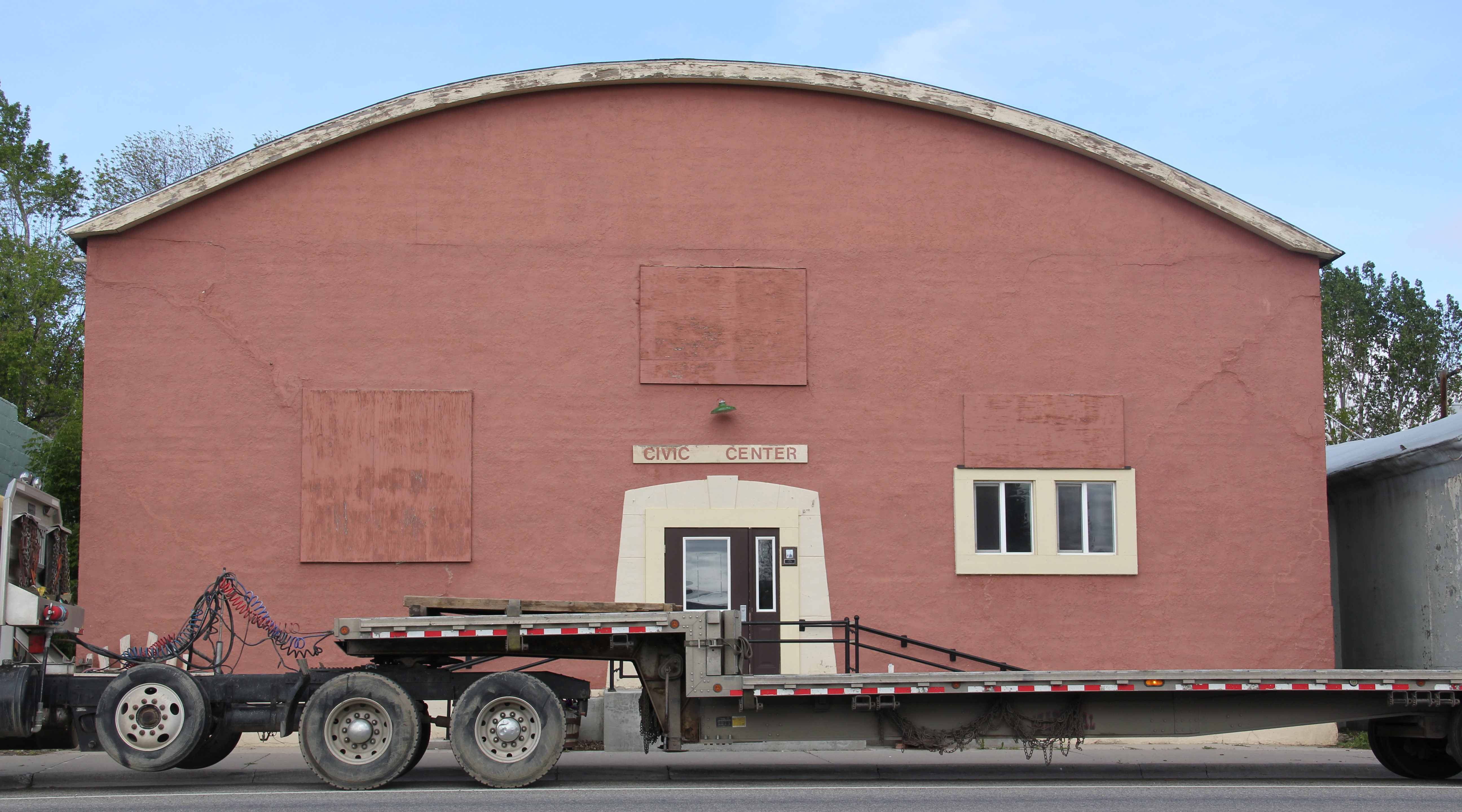
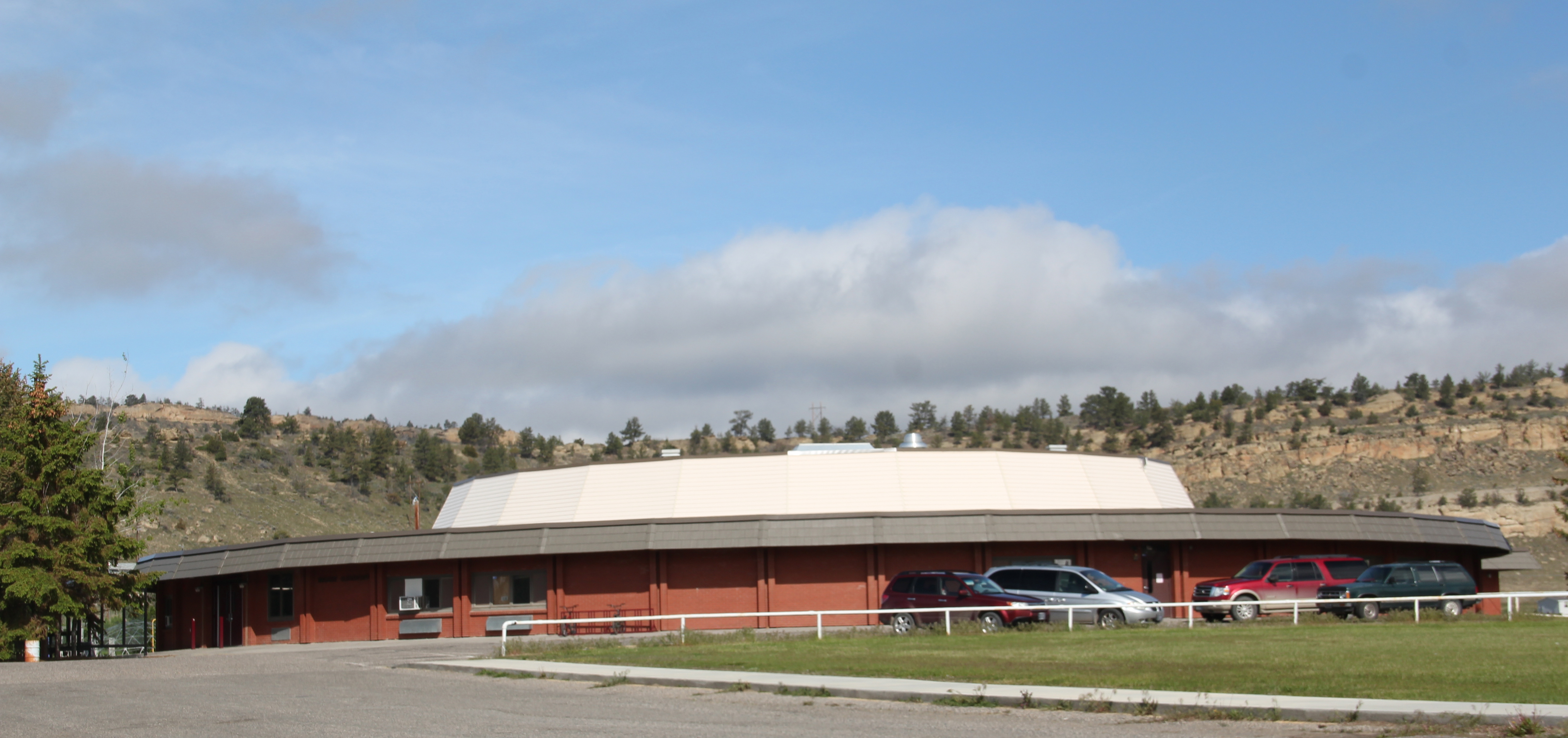
Other historic statements of the town’s sense of community include the 1930s Civic Center, a bit worn today but a center for community gatherings and social events for decades.
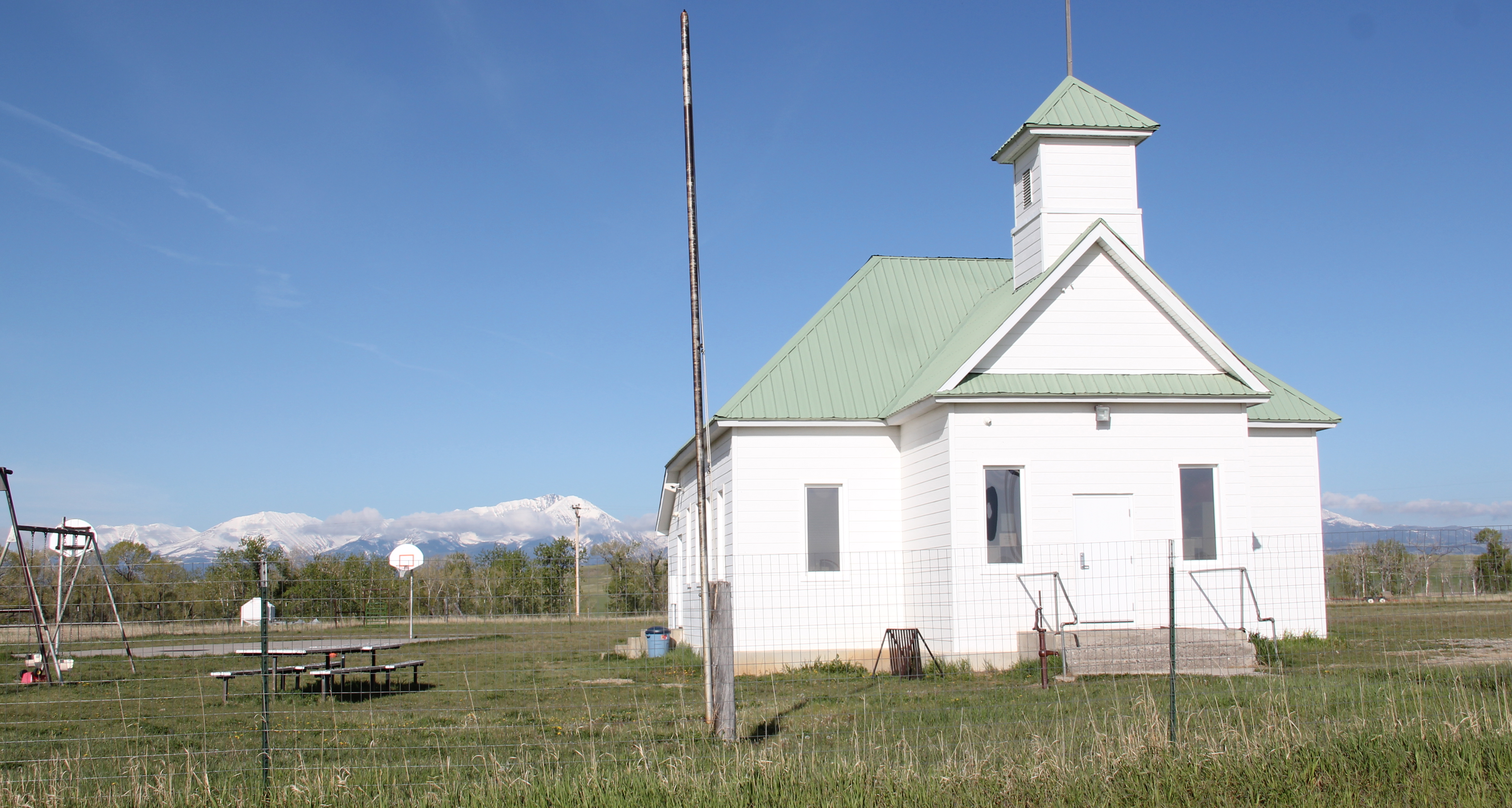
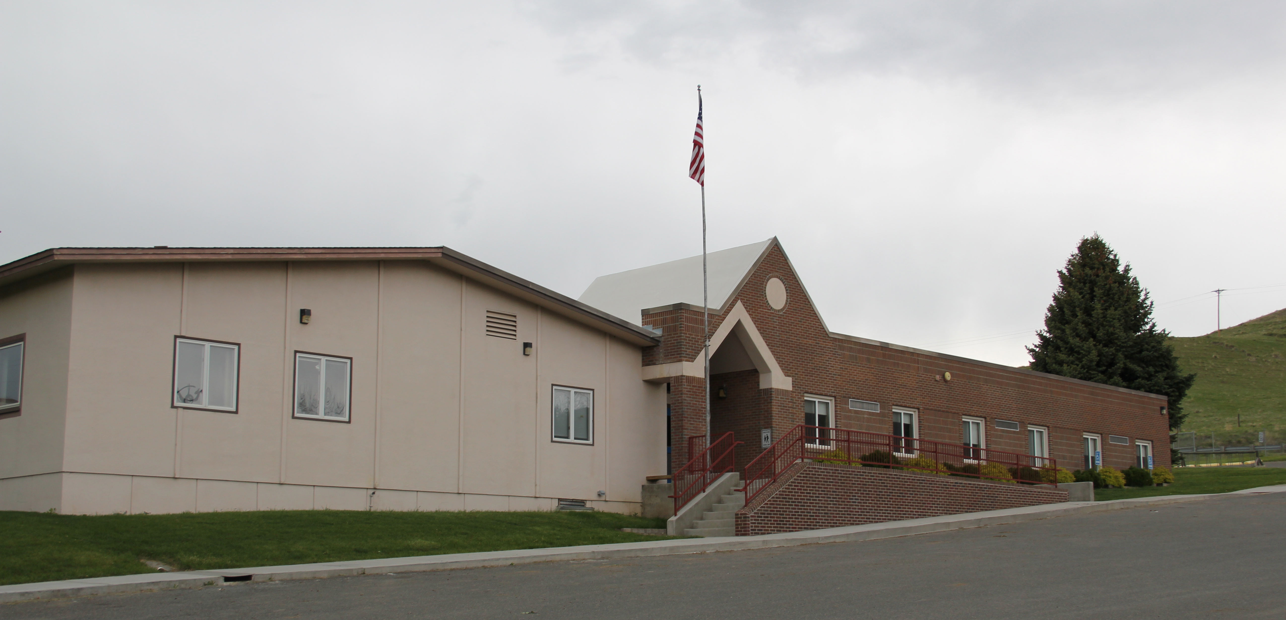
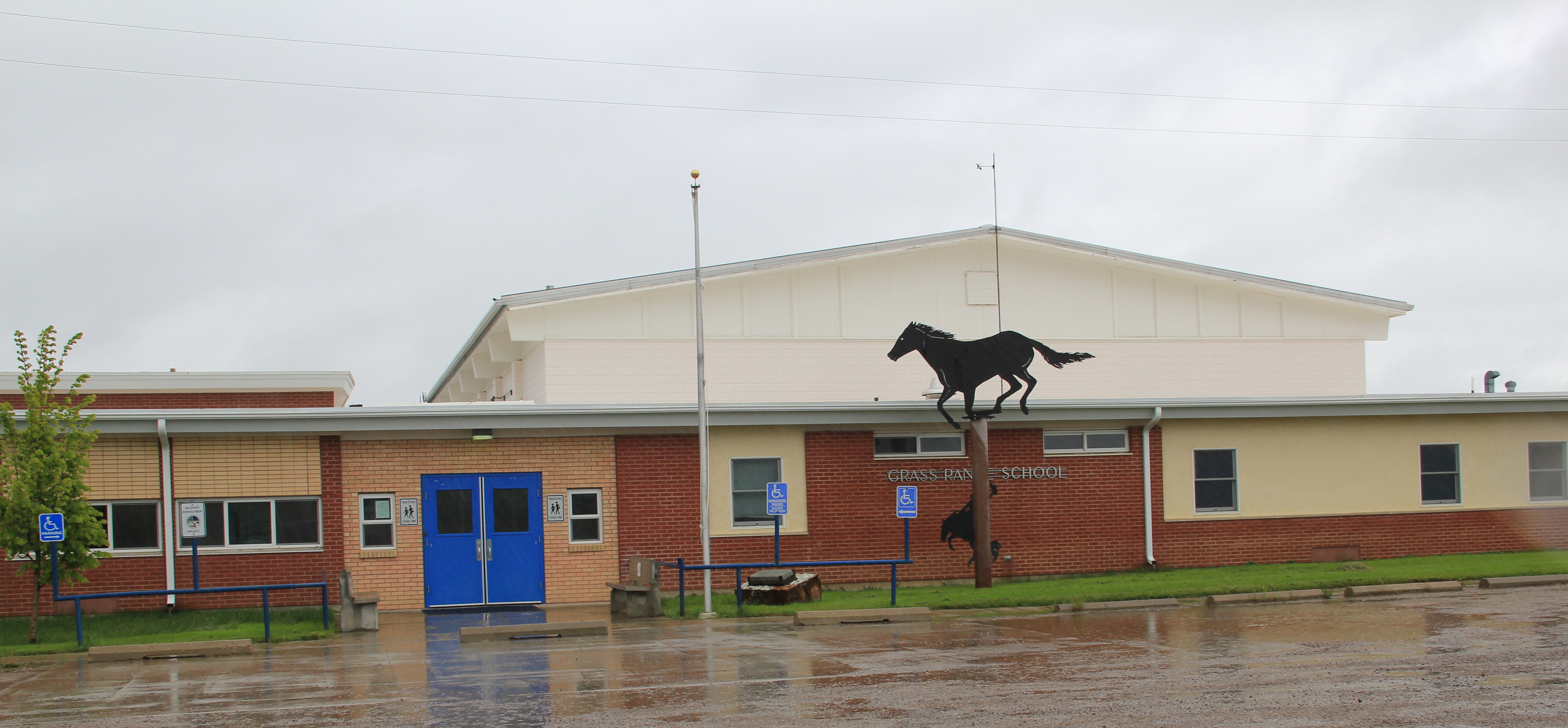
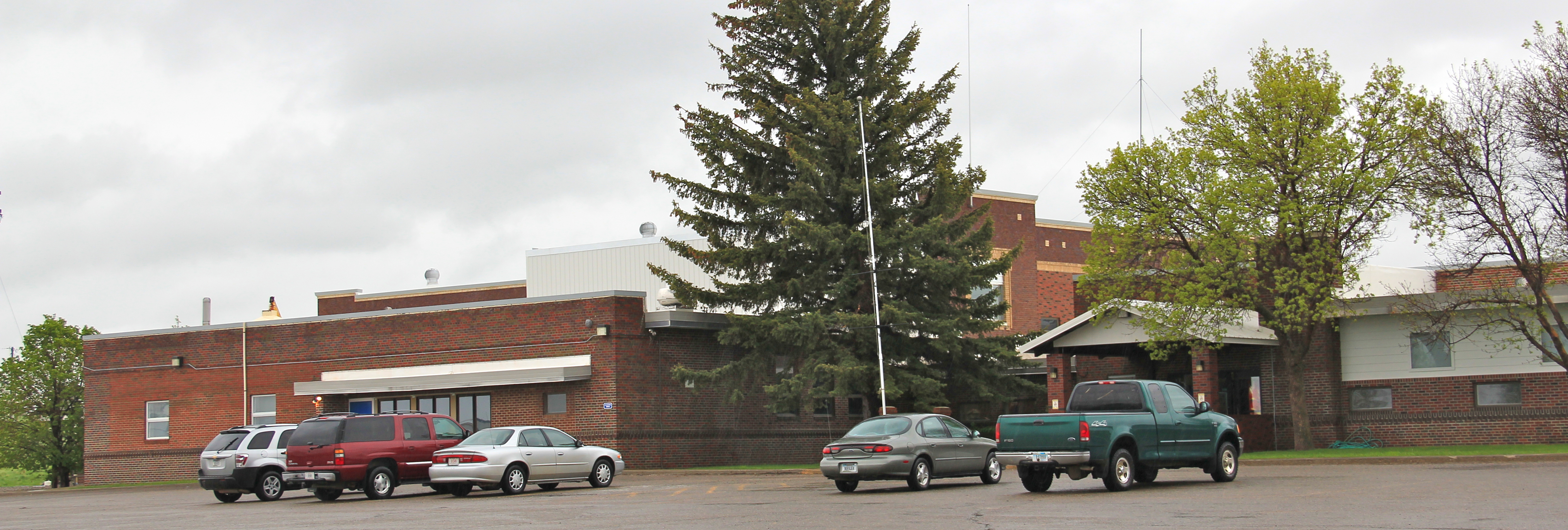
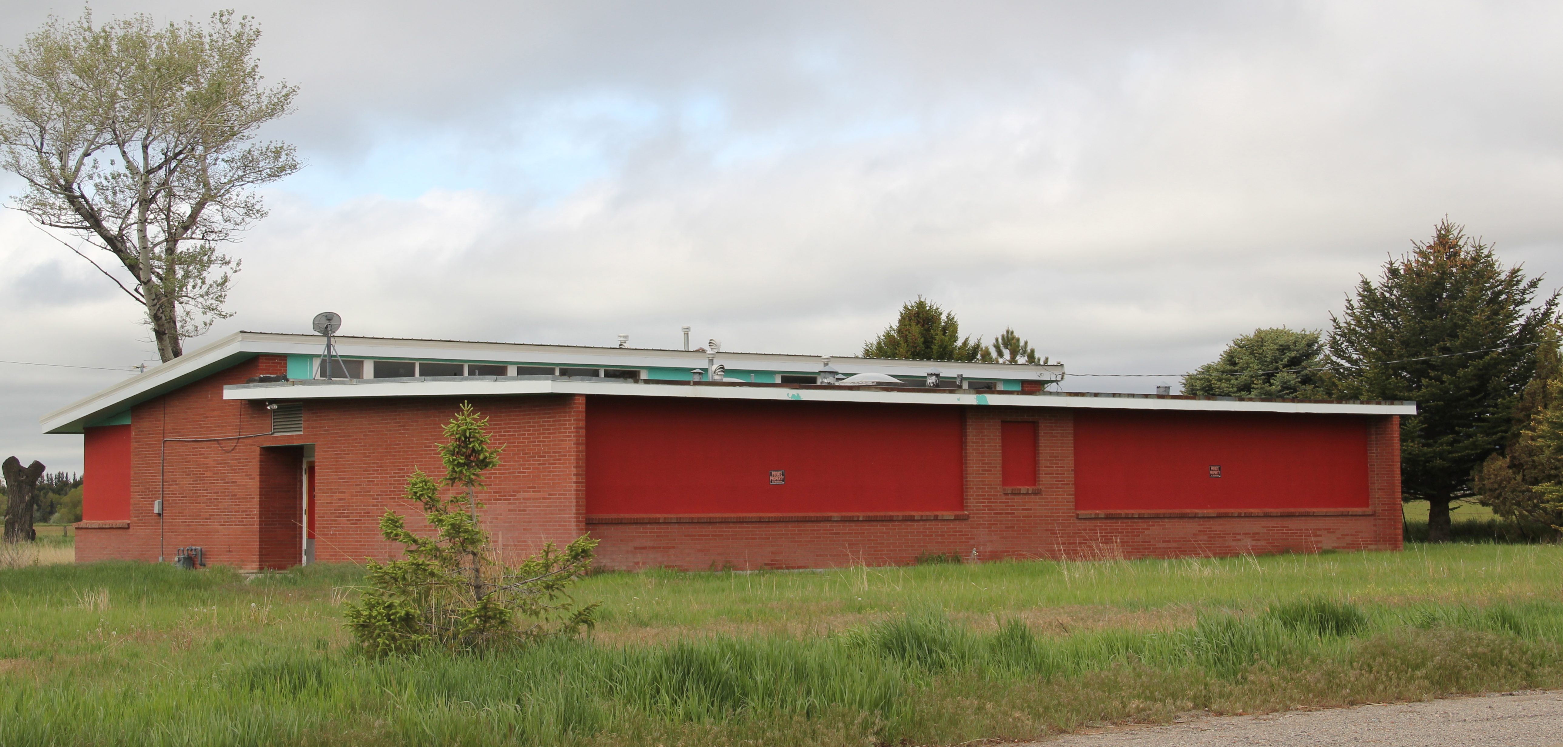
 Bridger’s schools from the 1960s introduce Montana modernism to the townscape, almost like spaceships landing within the middle of the Clark’s Fork River Valley. Modernism 1960s style also characterize Sacred Heart Catholic Church, St. Paul’s Lutheran Church, and the Bridger Seventh Day Adventist Church, constructed in 1965.

St. Paul Lutheran Church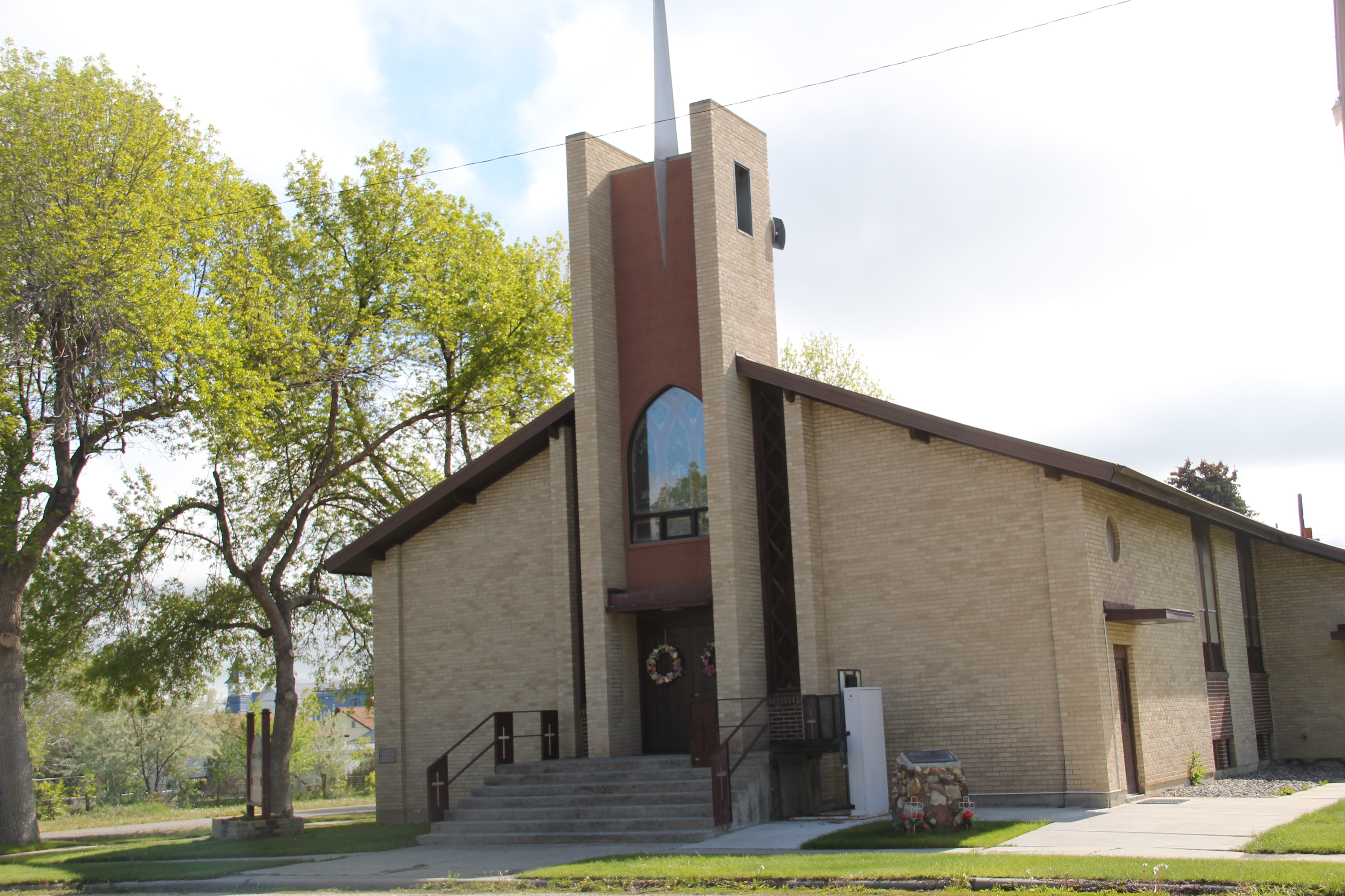 Sacred Heart Catholic Church
 These community anchors date from 50 years ago, so obviously growth has been stagnant, or stable, pick your terms, since the boom introduced in the valley through expanded irrigation projects in the post-World War II era. But all of the buildings are well maintained, and are part of the sense of overall sense of pride you get from a visit to Bridger.
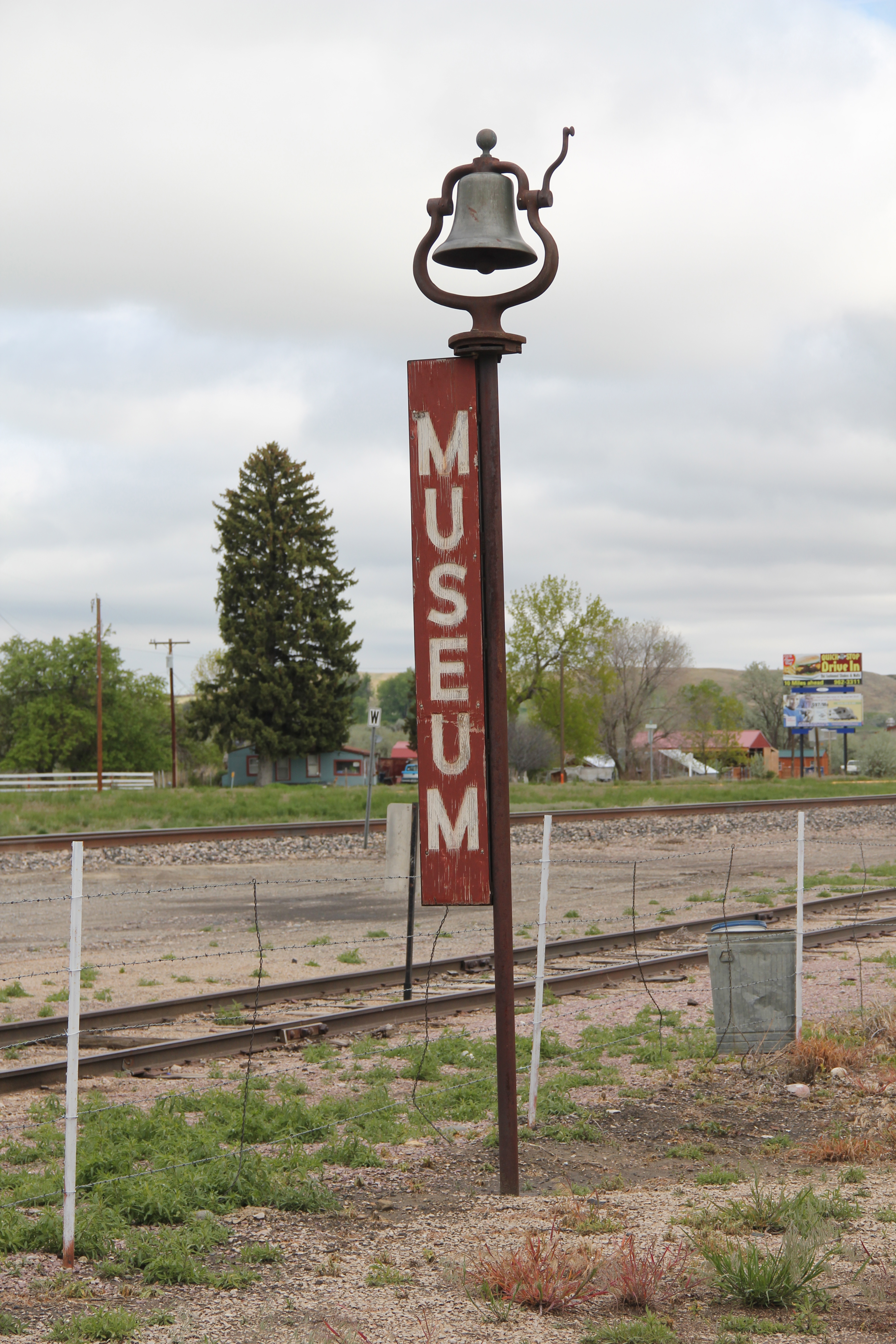
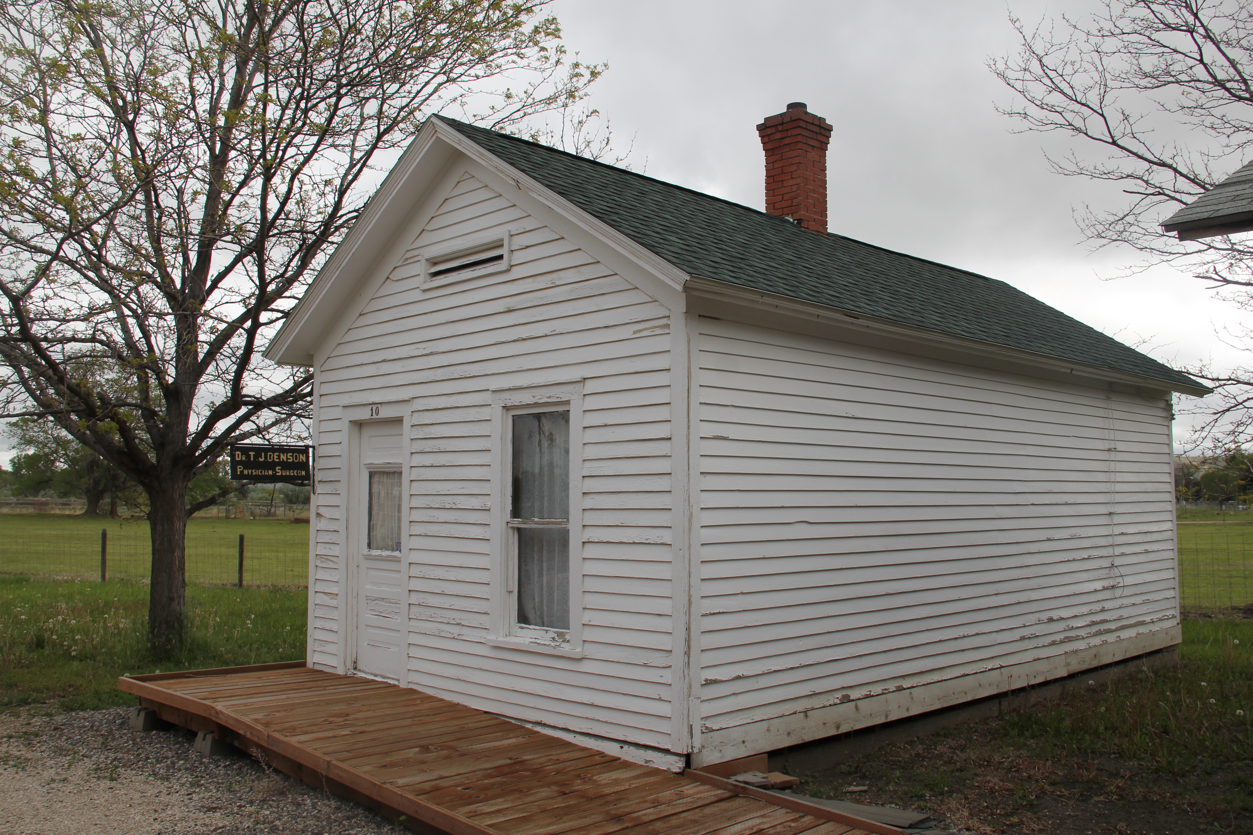
 Bridger has reminders, both in monuments and in businesses, of the deep past of the Clark’s Fork River Valley. It is an interesting place of strong institutions, several National Register-listed historic homes, and local business, and a significant part of the often ignored history of the Clark’s Fork Valley.


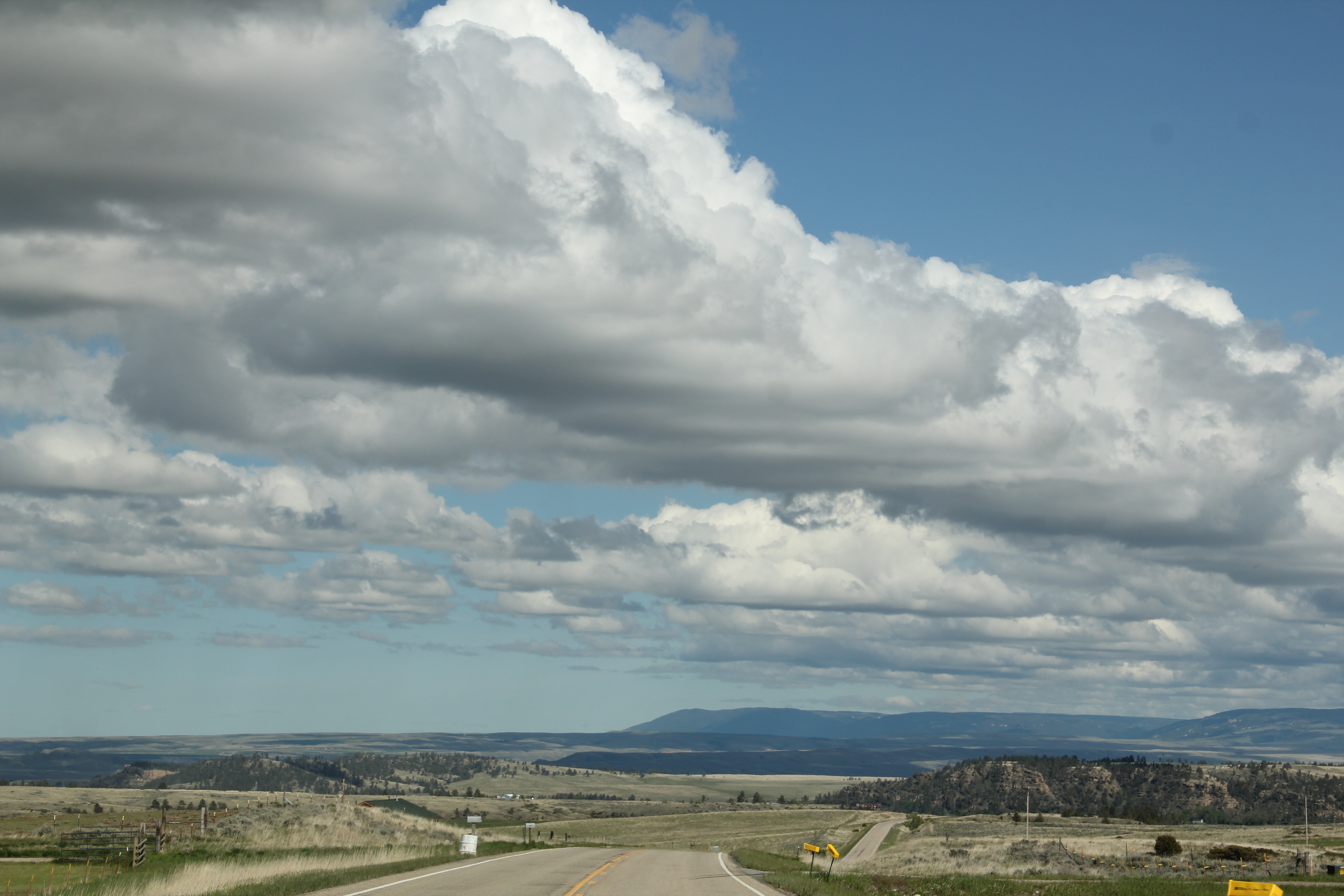
 Another highway pull-off provides one of those “Scenic Overlooks” found through the state. This one perhaps not as spectacular as others but also giving travelers a sense of what this landscape is like, and what awaits them as they continue down to Highway 78’s southern terminus at Red Lodge, where the preservation ethic and the successes over 30 years will be the next topics of the blog.