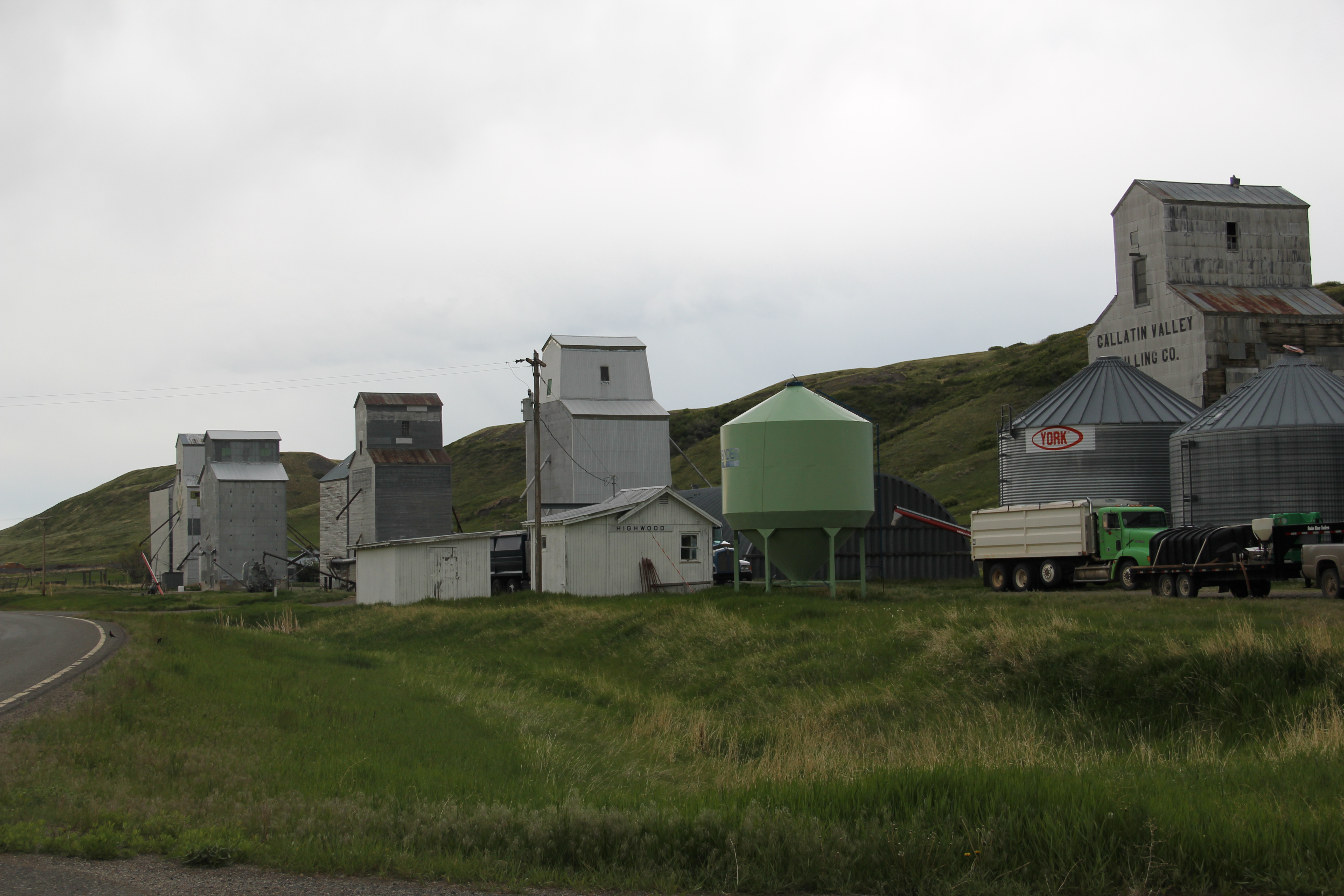
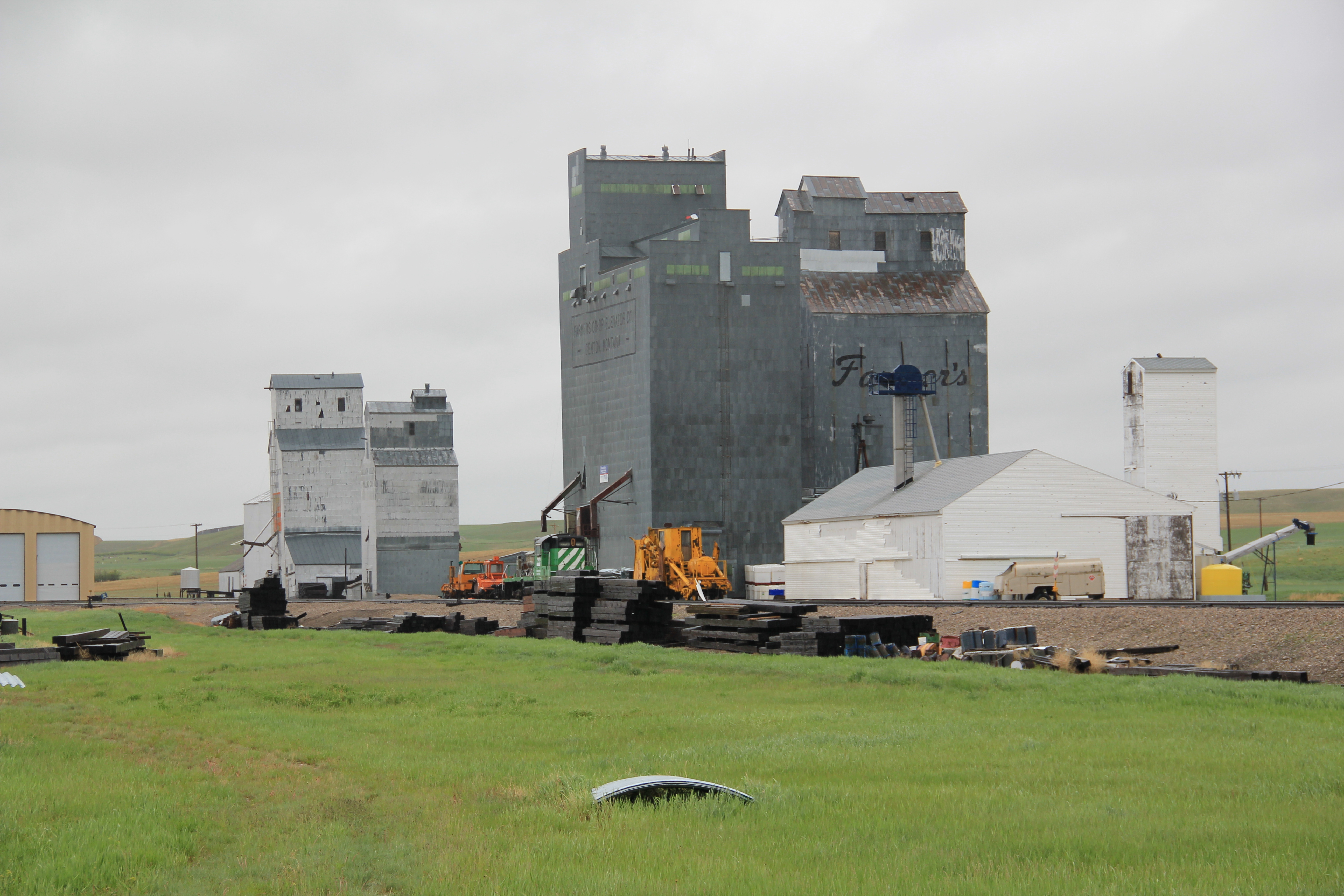
The name Carbon County seemingly says it all–here is a Montana place that is mining country, and coal mining at all. As earlier posts have discussed, coal mining is vitally important to the county’s history. The county seat of Red Lodge was a major coal mining town. But even Red Lodge’s historic built environment speaks of another side of Carbon County’s history. Its tall shiny grain elevator along the railroad tracks remind us that Carbon County was also agricultural country, especially in the Clark’s Fork River Valley.
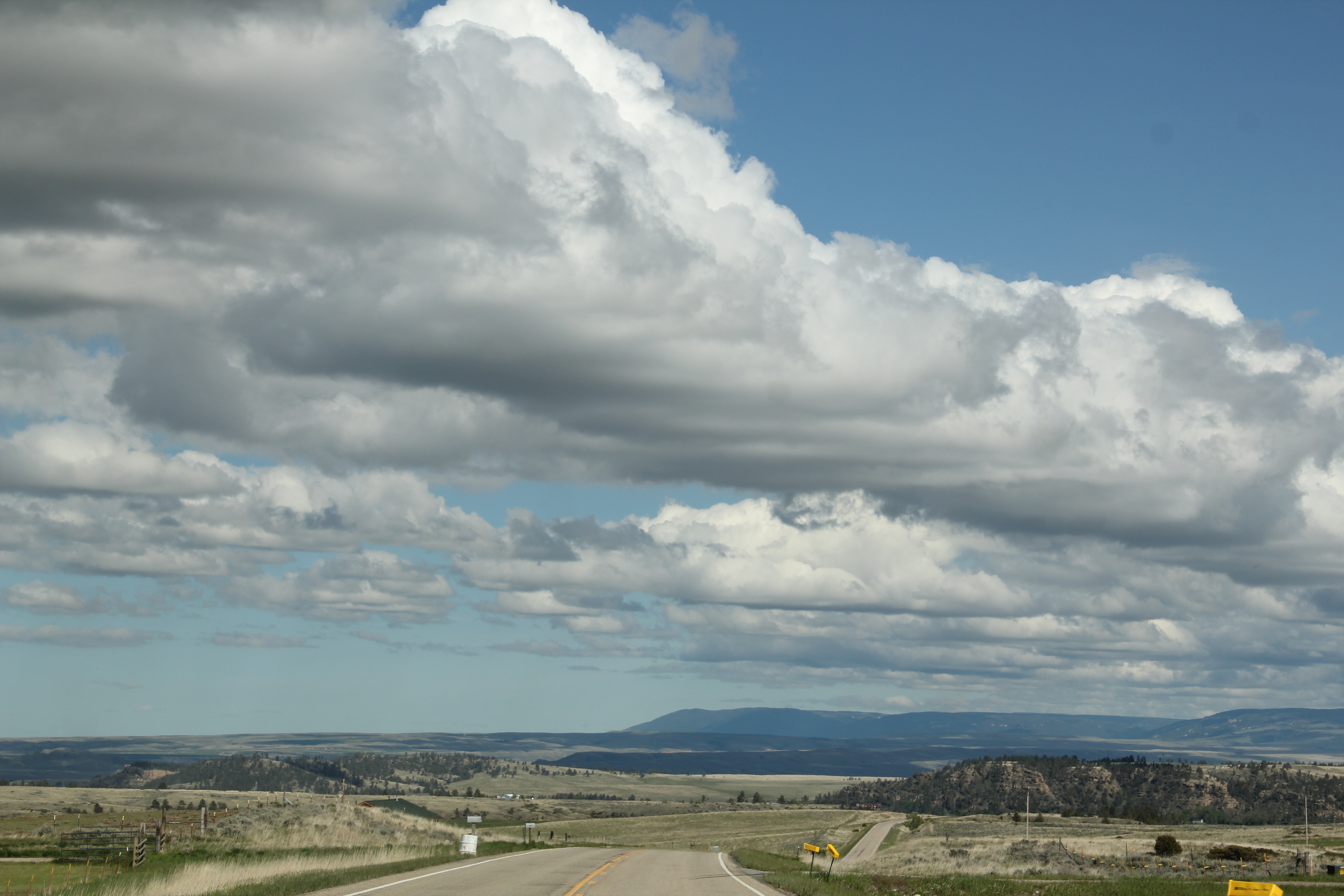
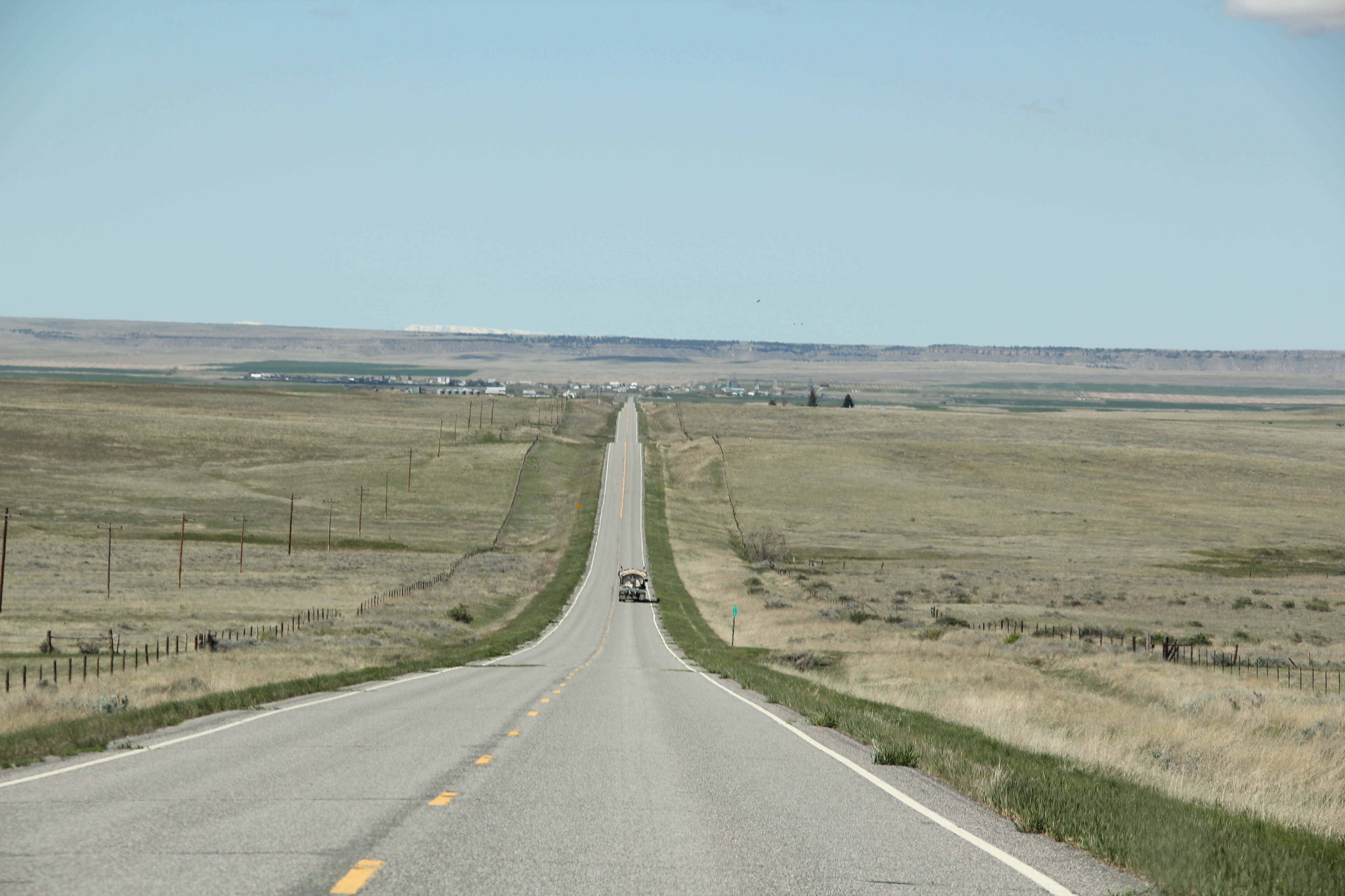
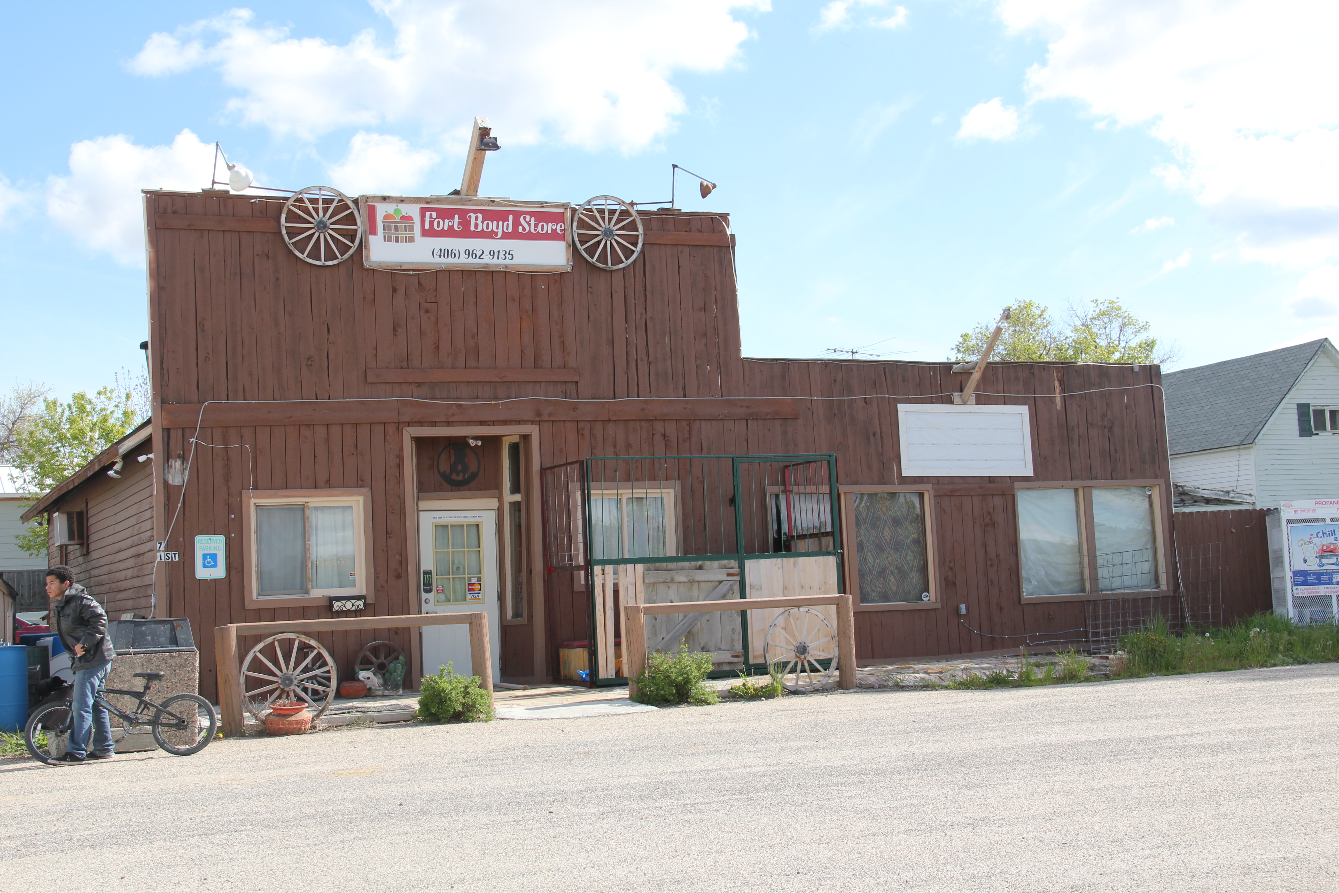
The next couple of posts will explore this part of Carbon County–the towns and places many tourists roar by as they seek out Red Lodge and the mountains beyond. Some places were, and are, tiny but still changes over 30 years are apparent. Boyd, for instance. In 1984 I caught this iconic view of past and present at the historic Boyd store. The building is still there but the facade is changed, to a rustic western style, one more to the liking of fast-moving tourists.

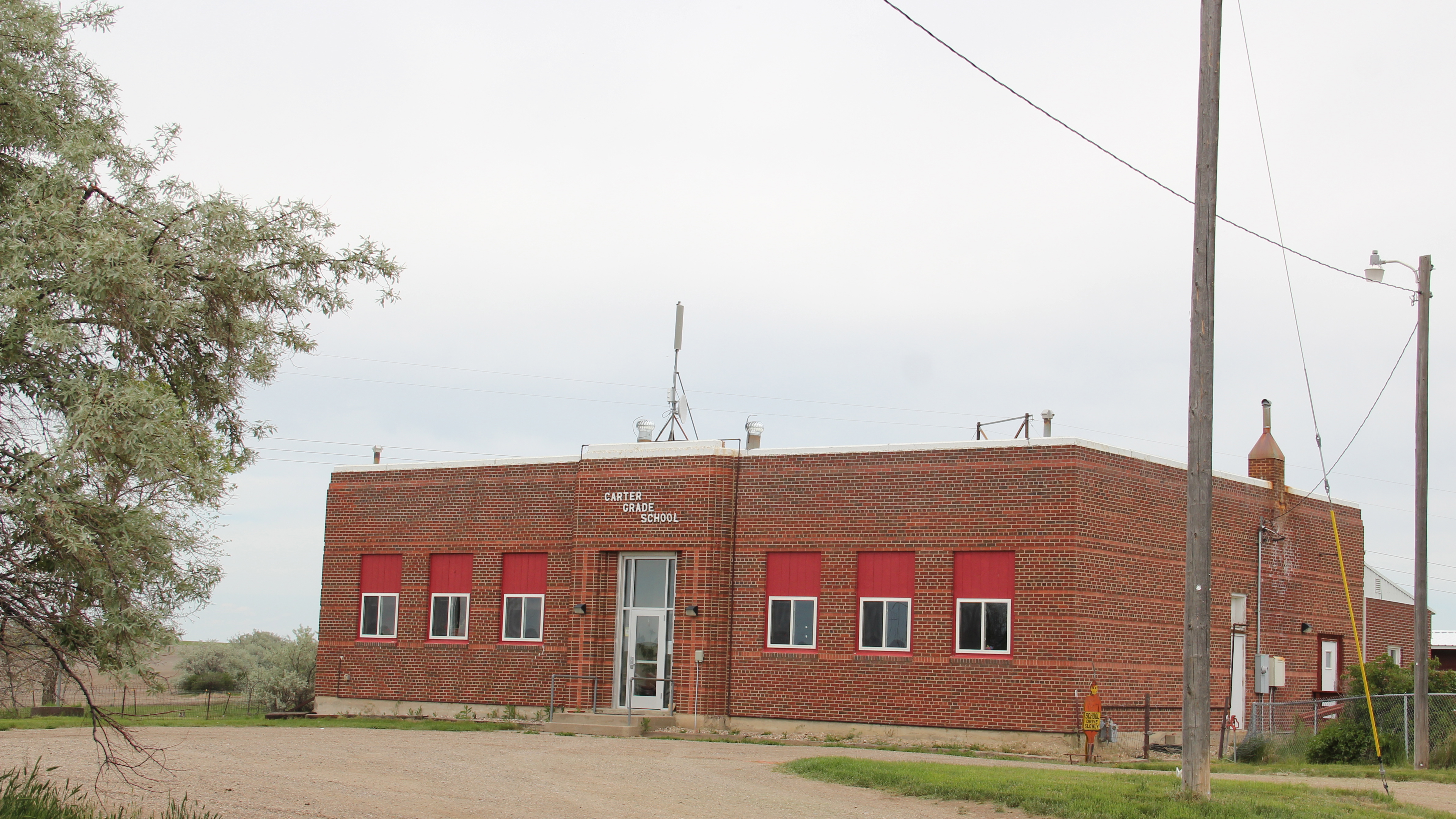
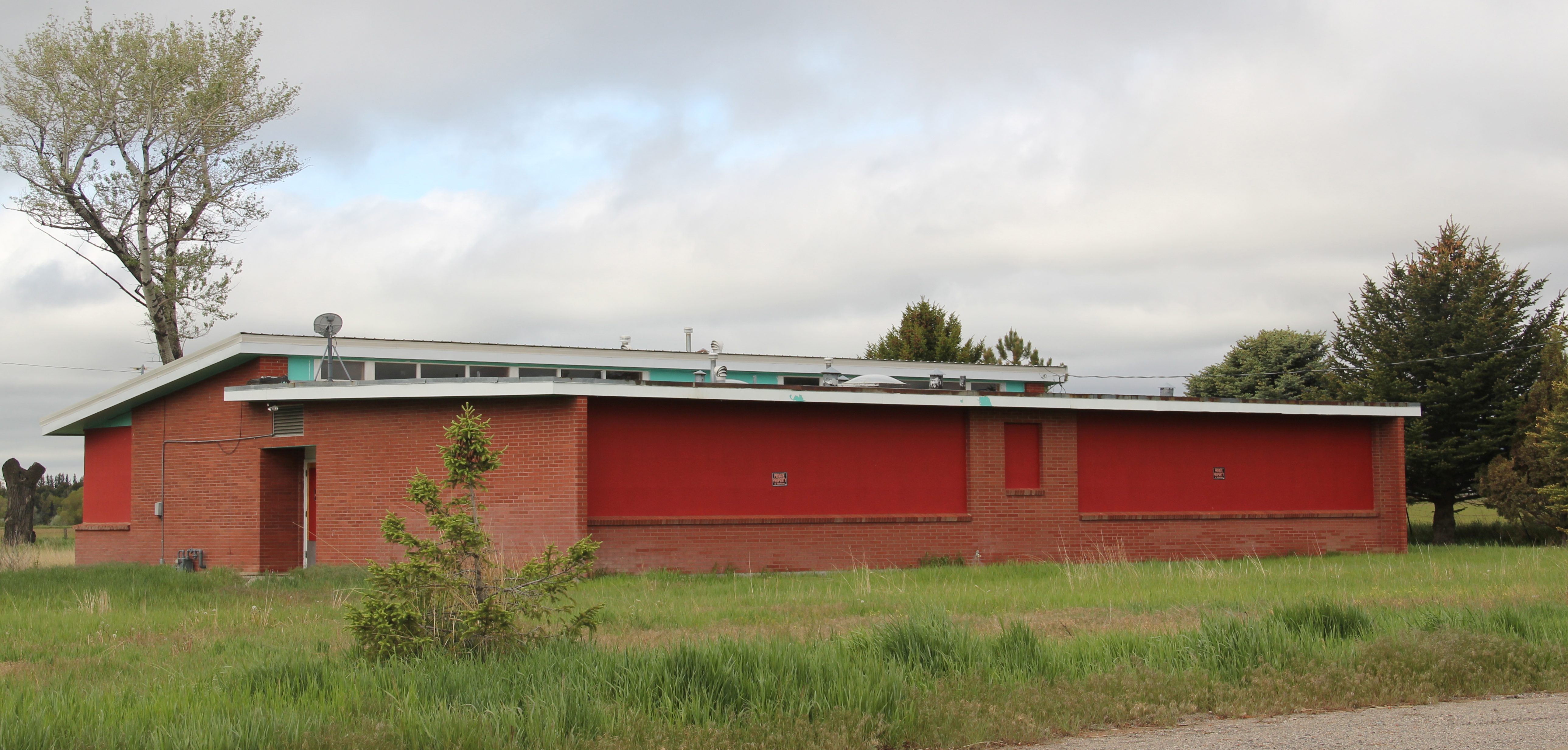
Edgar is a place that admittedly I gave little attention to in 1984. That was a mistake. I missed a very interesting modernist-styled school, probably part of the county-wide WPA projects for schools in the late 1930s, along with another 1960s styled addition. The school closed in 2009.

Edgar still has its bar, located in a fine one-story brick building–but not much else from the decades when it mattered in the 20th century.
 Fromberg is a different story. Unlike so many country railroad towns in Montana, Fromberg has a strong sense of itself, both in the present and in the past. Part of that has to be a reflection of its comparative stability. Its population height came in 1940, with mover 500 residents. Today the population remains over 400, just about a 100 person decrease over 70 years. For Montana rural towns that is exceptional. Indeed, from my first visit in 1984 to my last in 2015, the town had only lost a few families.
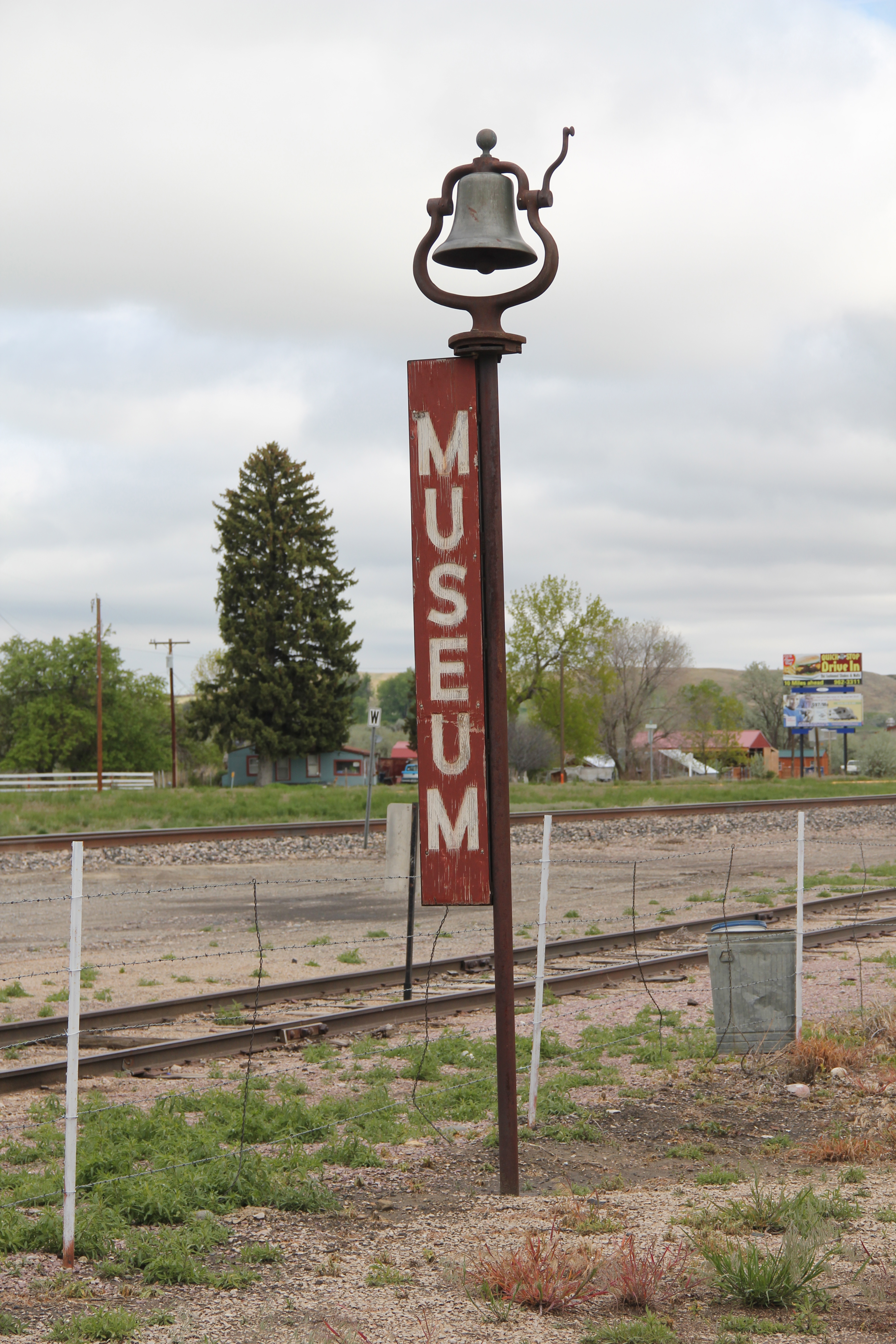
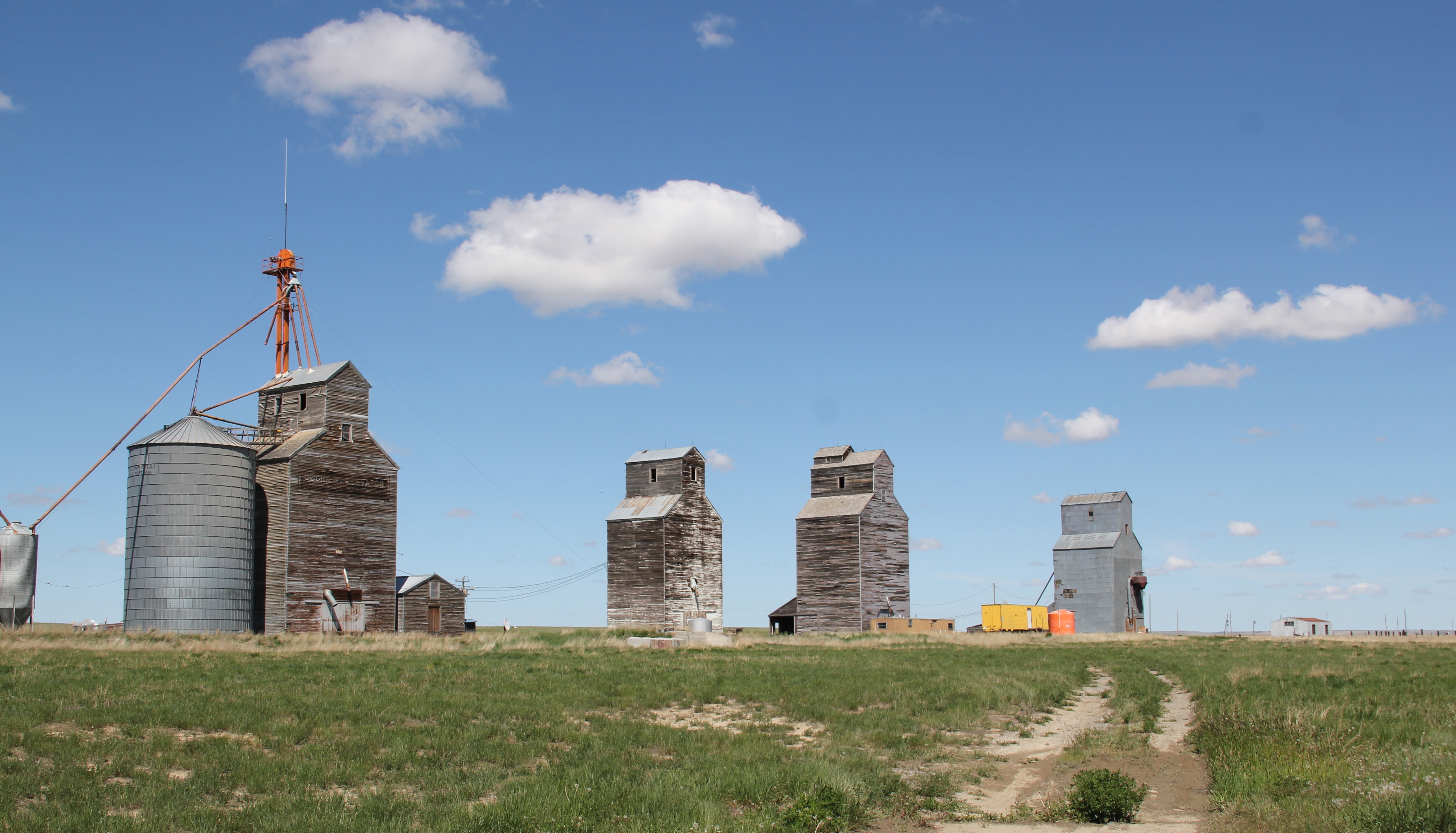
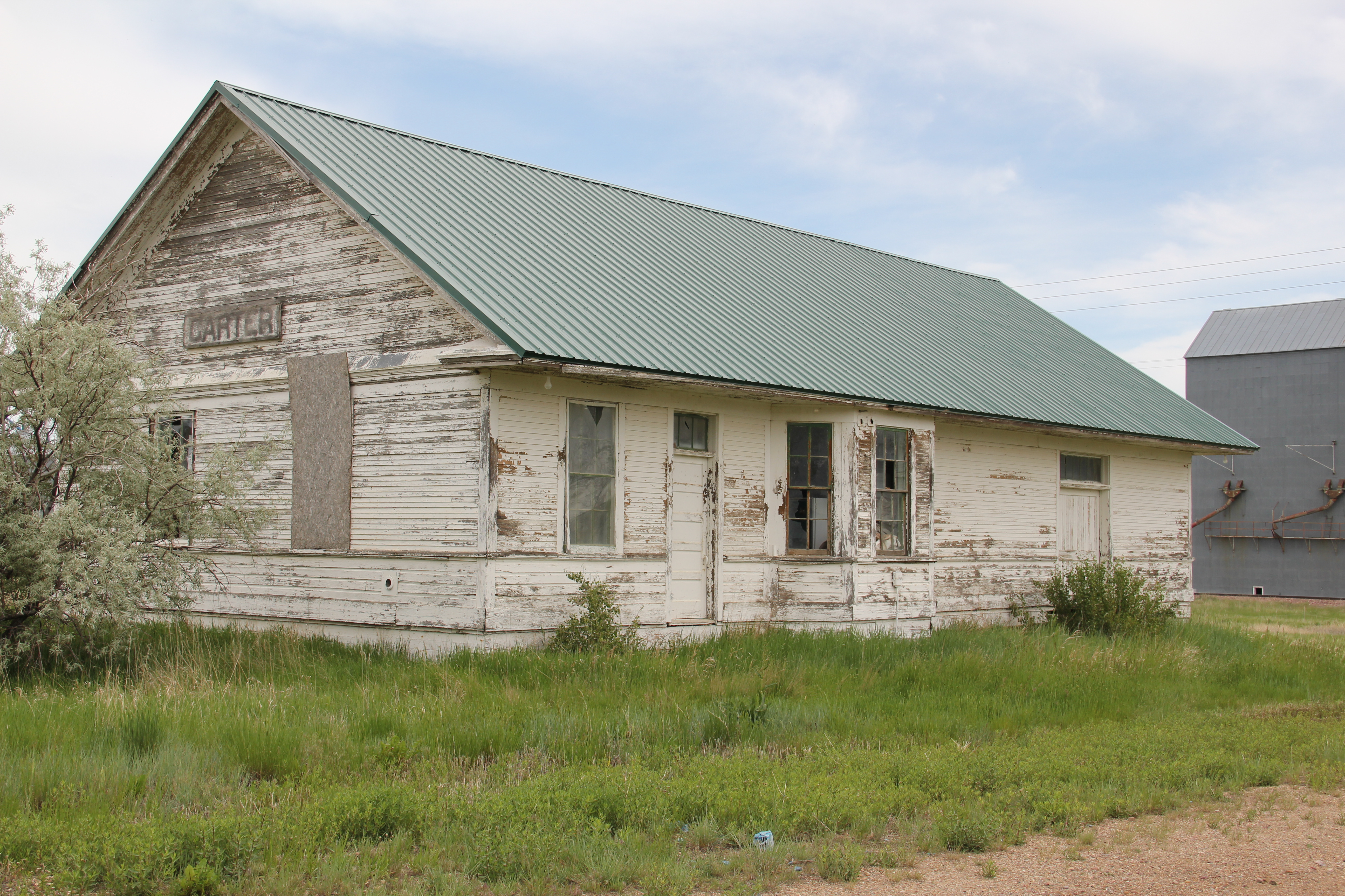
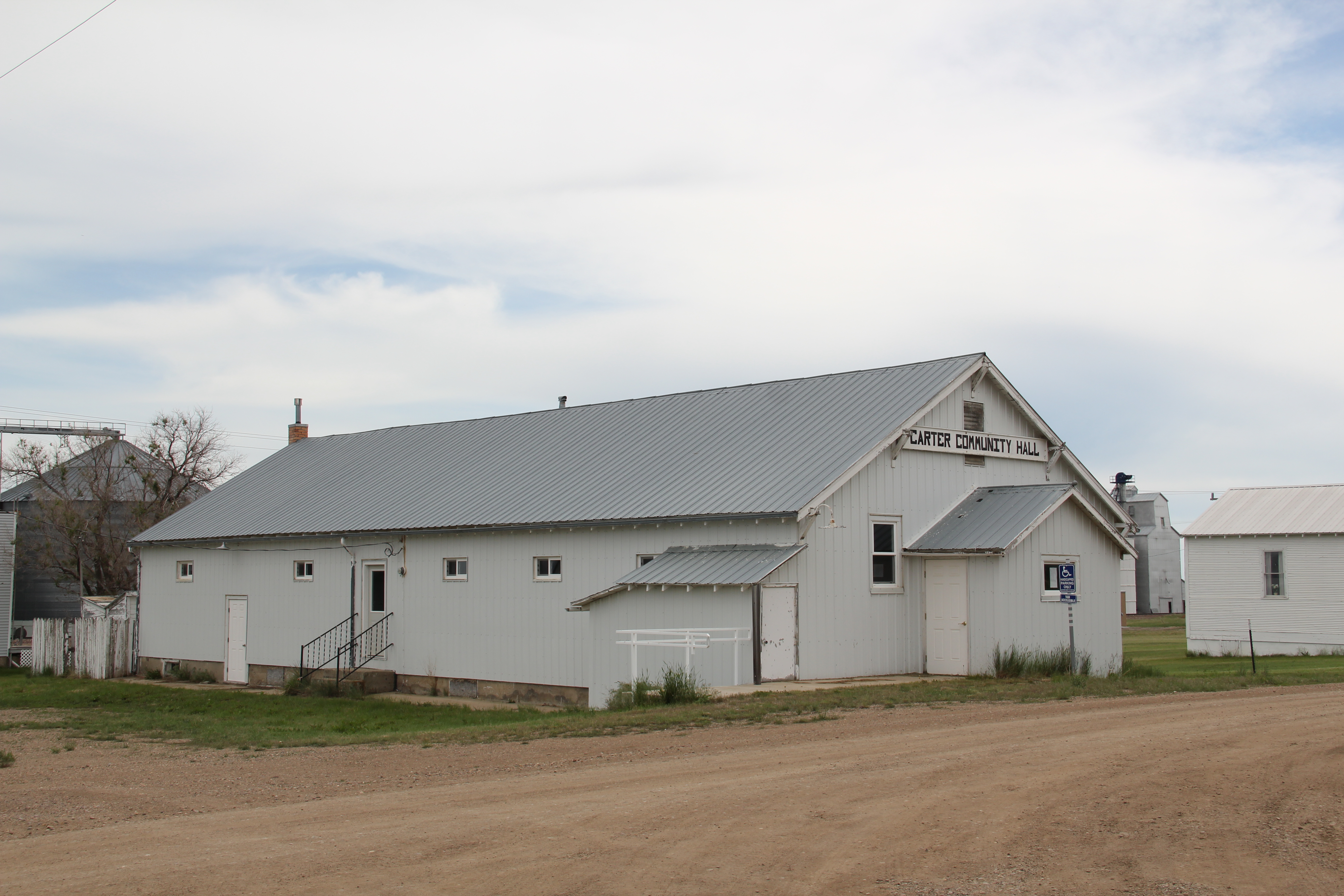
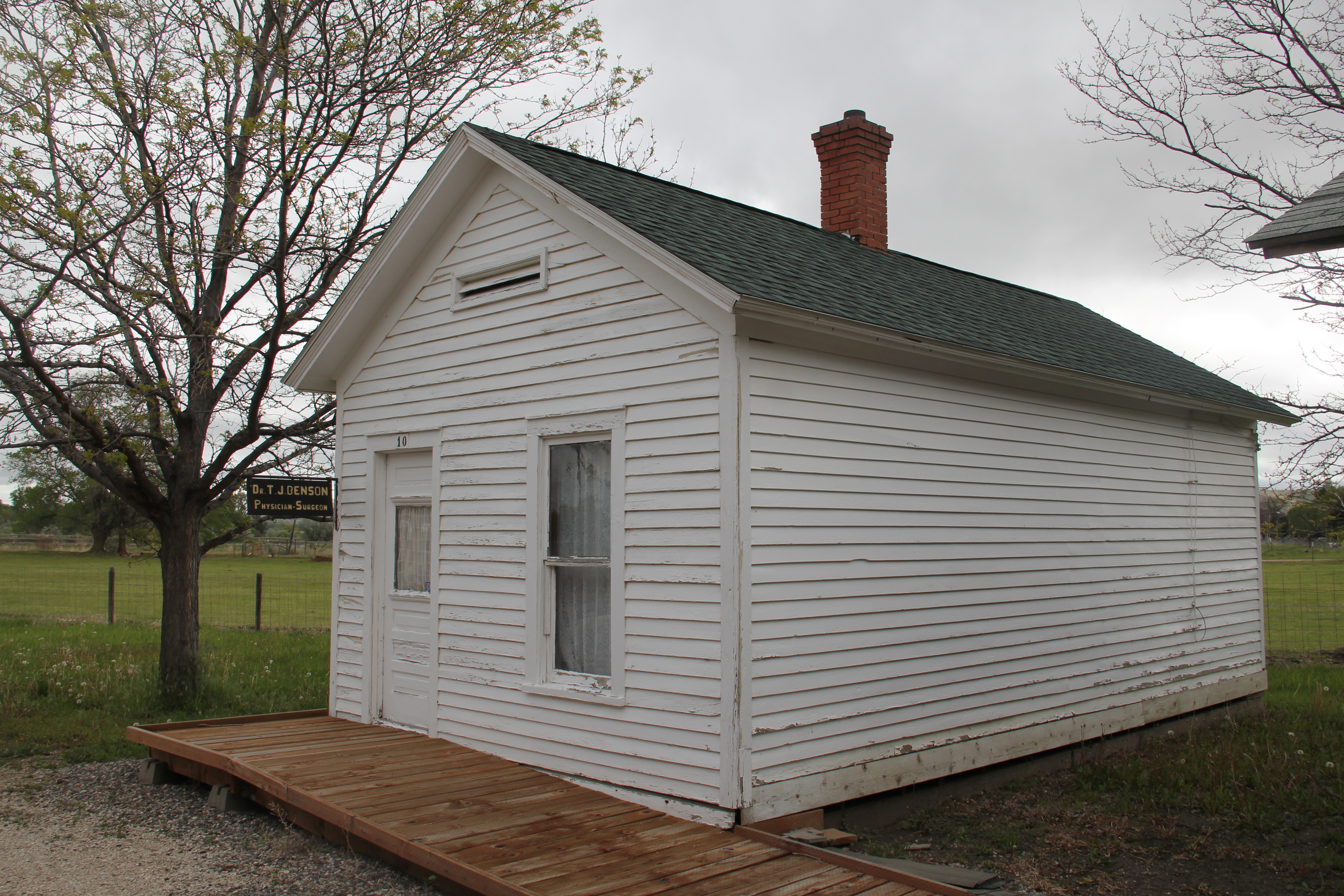
 Fromberg has its own museum; the centerpiece of which is its restored railroad depot, part of the old Northern Pacific spur line. In true northern plains fashion, other historic buildings have been moved onto the museum grounds. It’s not quite a building zoo but the buildings give the place enough presence to attract visitors speeding along the highway.

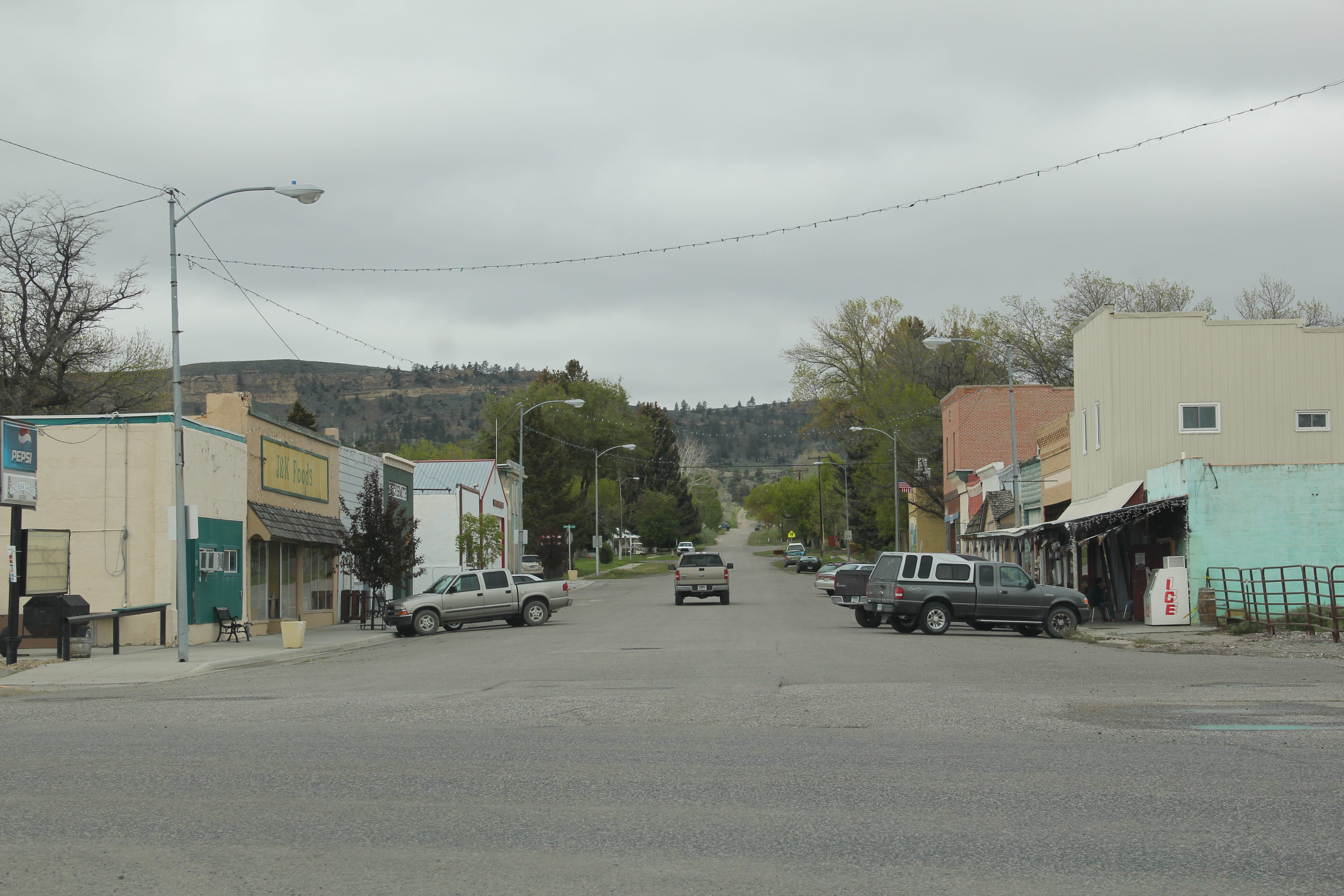
Fromberg is a t-plan town, and all of the patterns of that type of town planning are apparent. From the depot, running west, is the primary commercial street, with brick and fame buildings on either side.

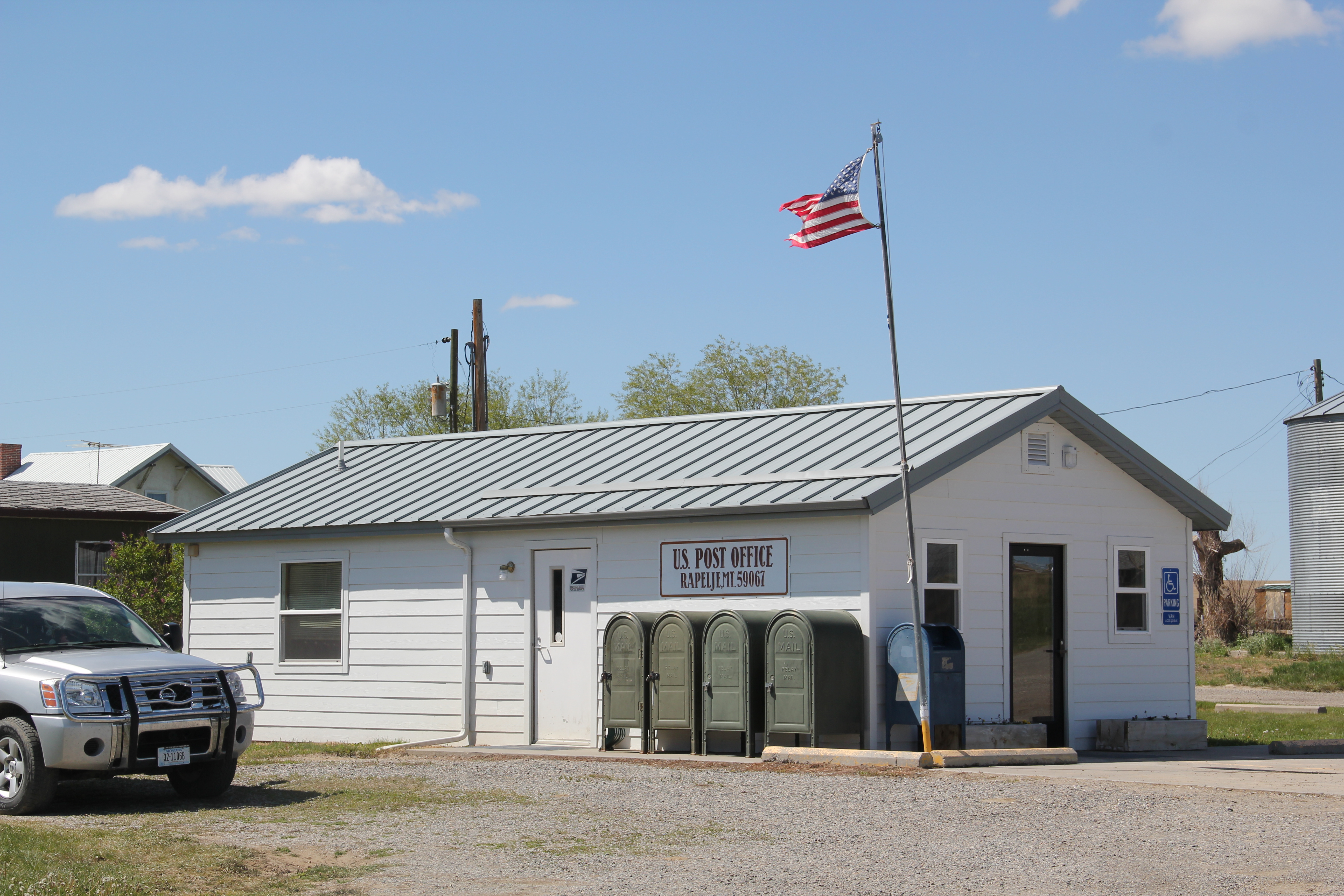
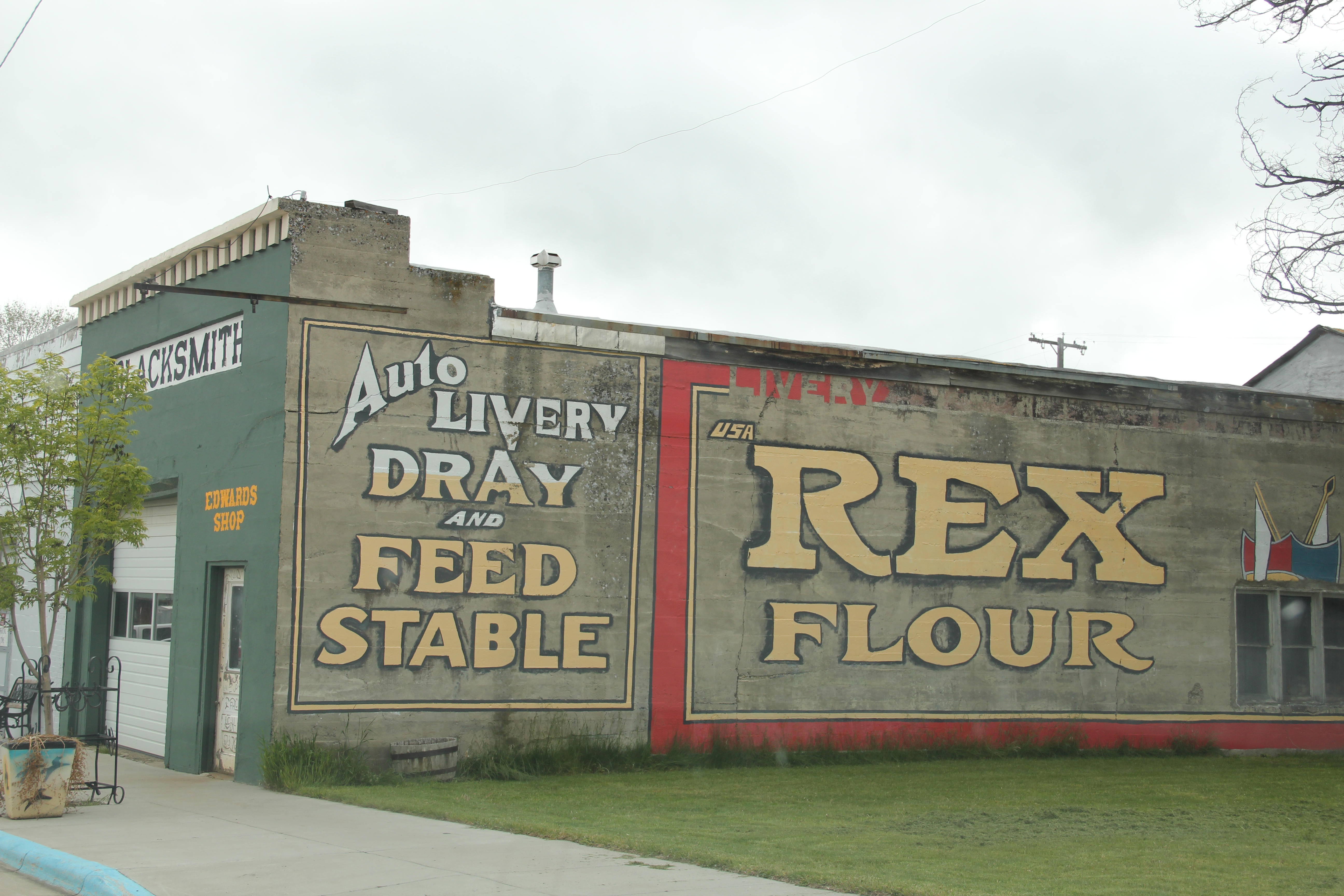
The historic Odd Fellows hall dominates the commercial district–its conversion into the town’s post office, rather than a historic building being lost so a modern standardized design post office could be put in its place, is an excellent example of historic preservation done right. Indeed, Fromberg residents have embraced the possibilities of preservation and multiple buildings are listed in the National Register of Historic Places.
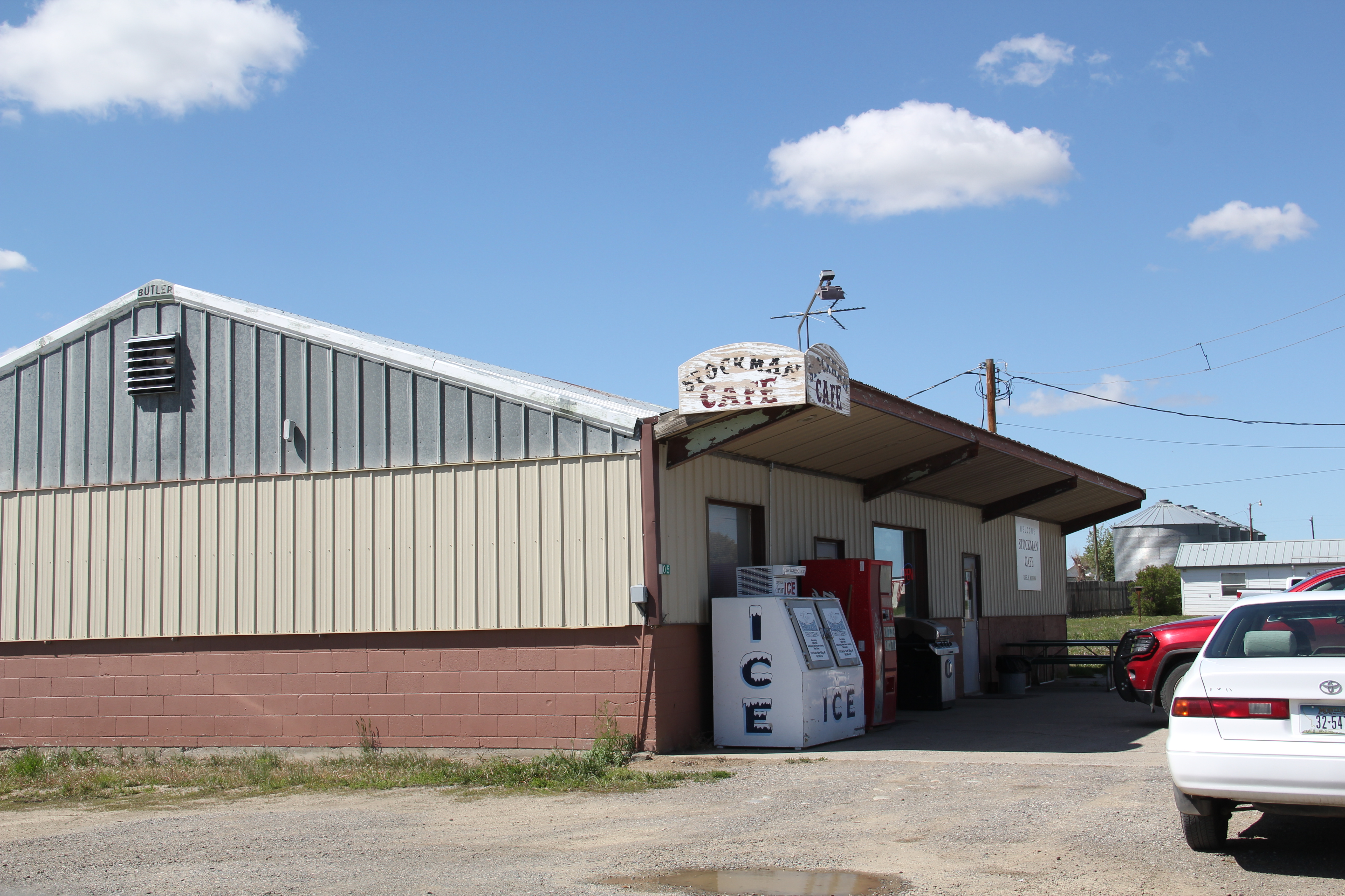
 The mural about overland travel on the front of the Clark’s Fork Bank adds a touch of public interpretation. If you want first-person stories, a stop at the Little Cowboy Bar (and “museum”, located at where the commercial district intersects with the highway, will be worth it. It is one of the region’s classic watering holes.

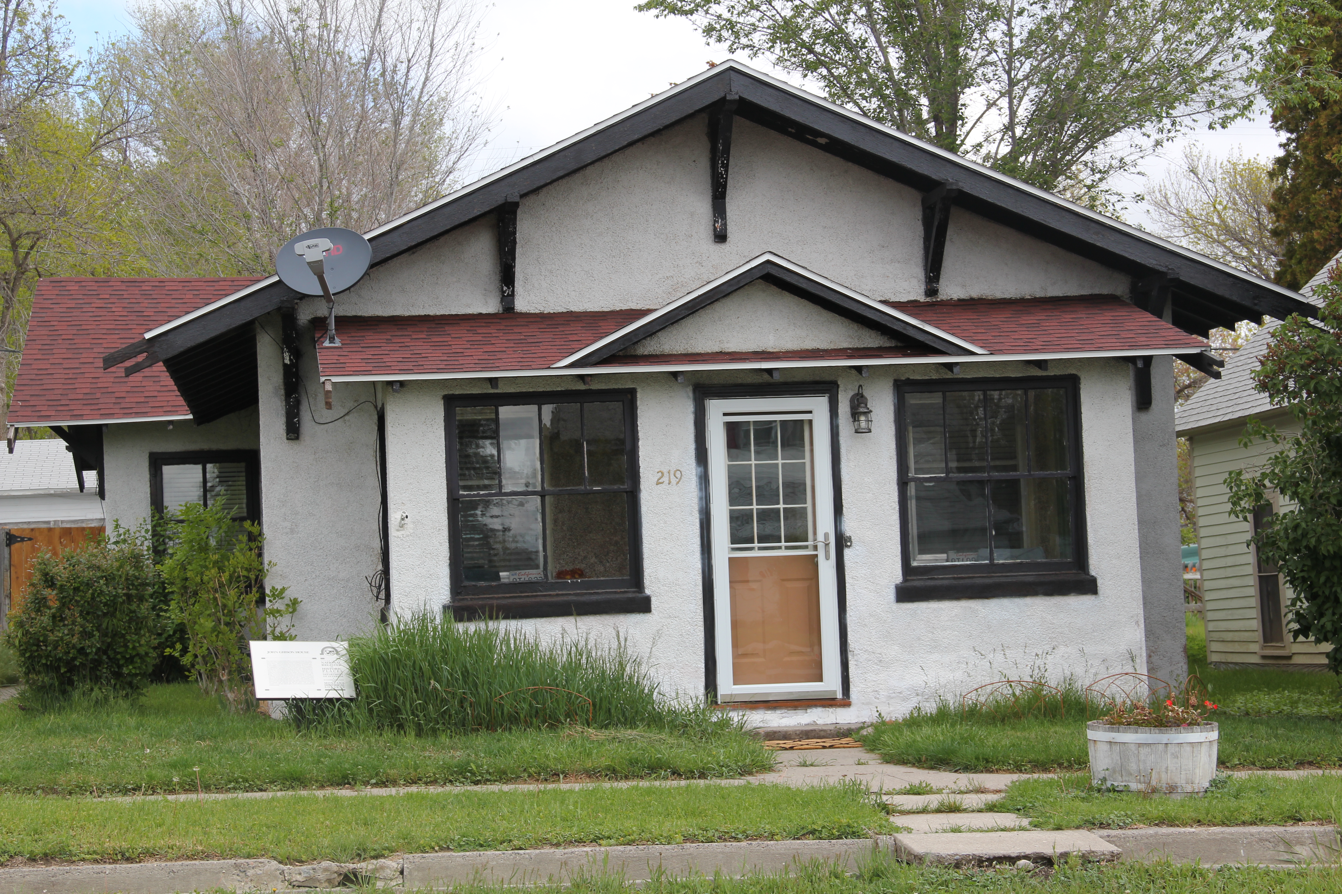
Fromberg also has documented its historic domestic architecture, raining from vernacular styled early 20th century homes to more stylish bungalows and even a couple of good examples of Dutch Colonial Revival style.

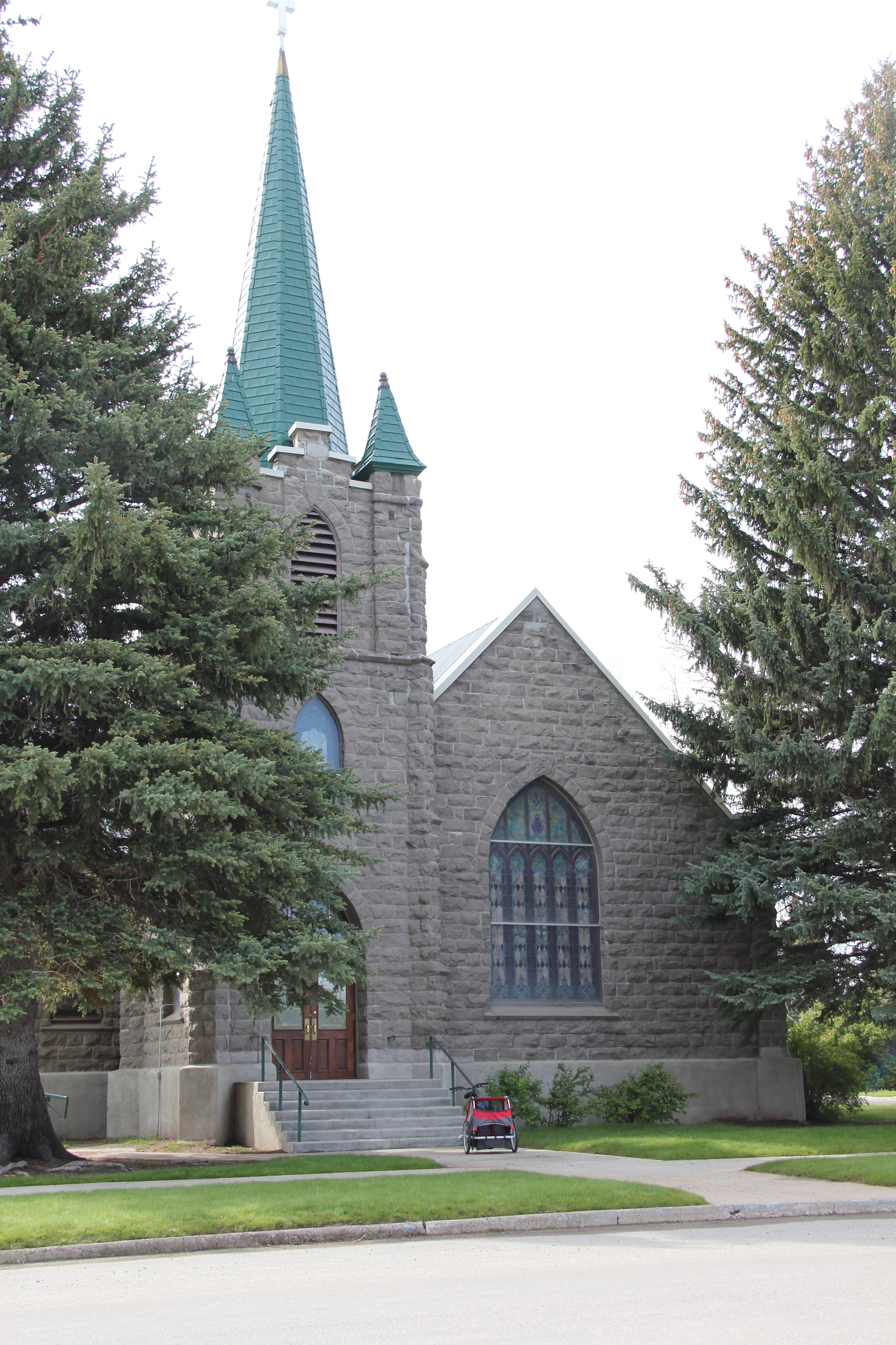
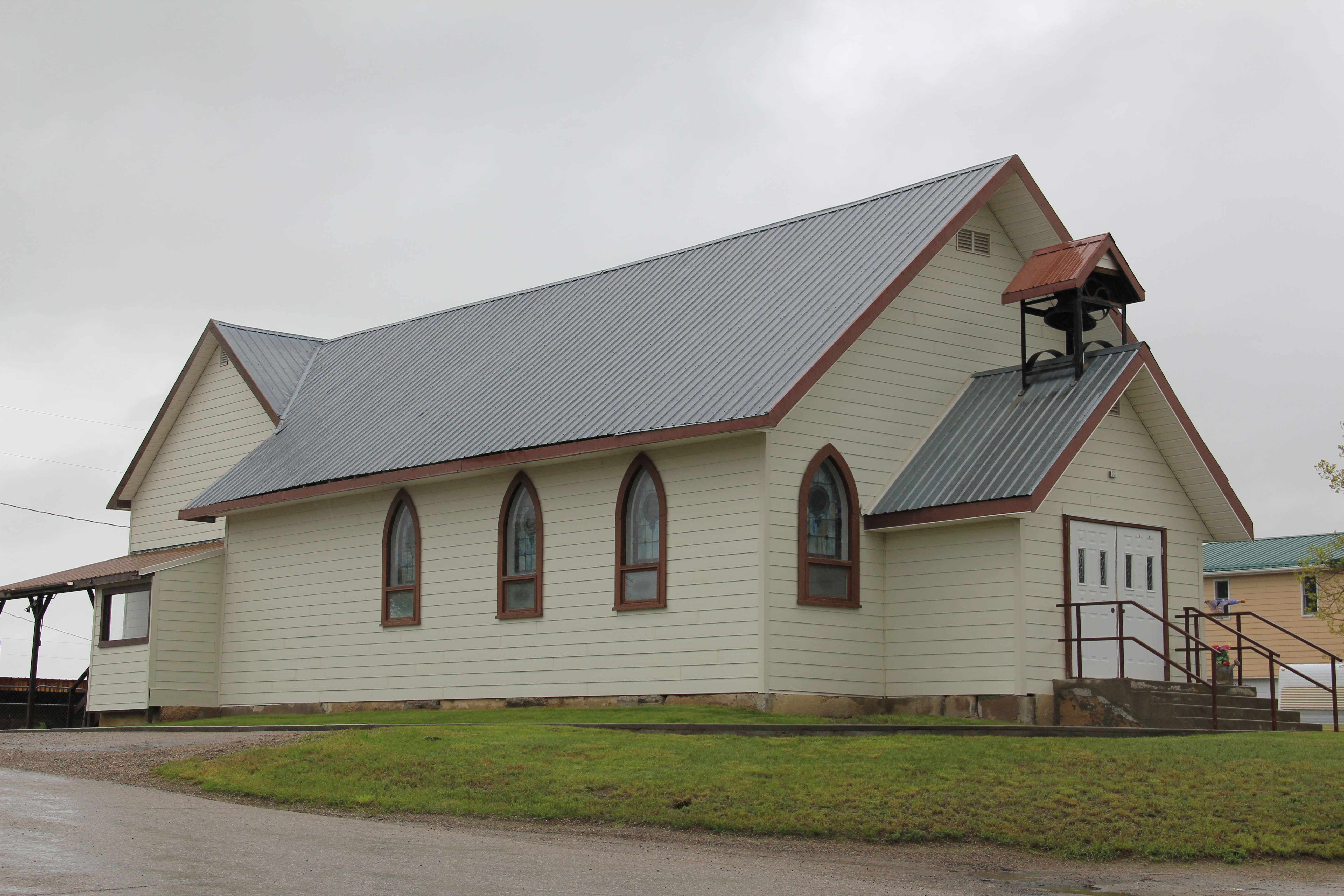
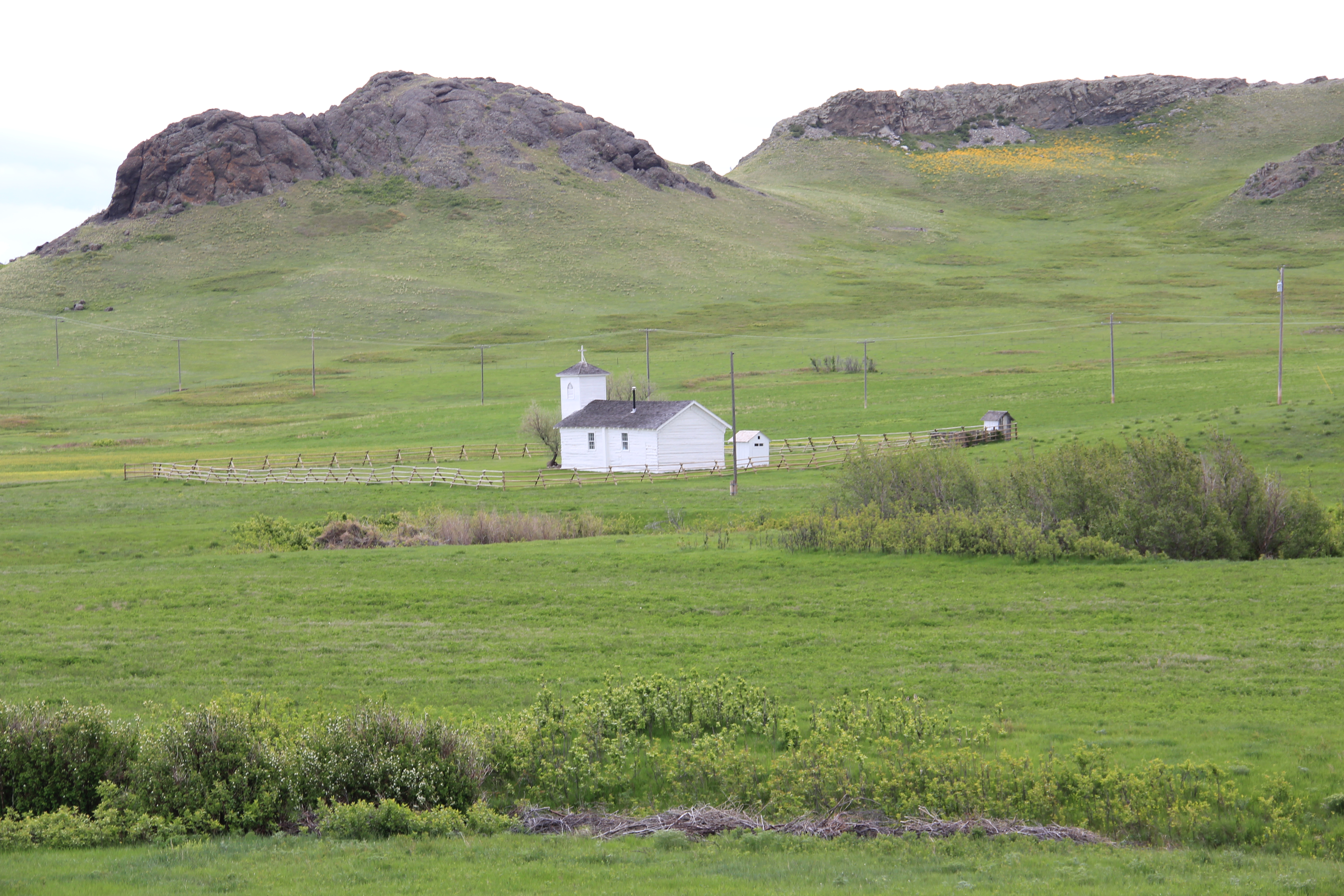
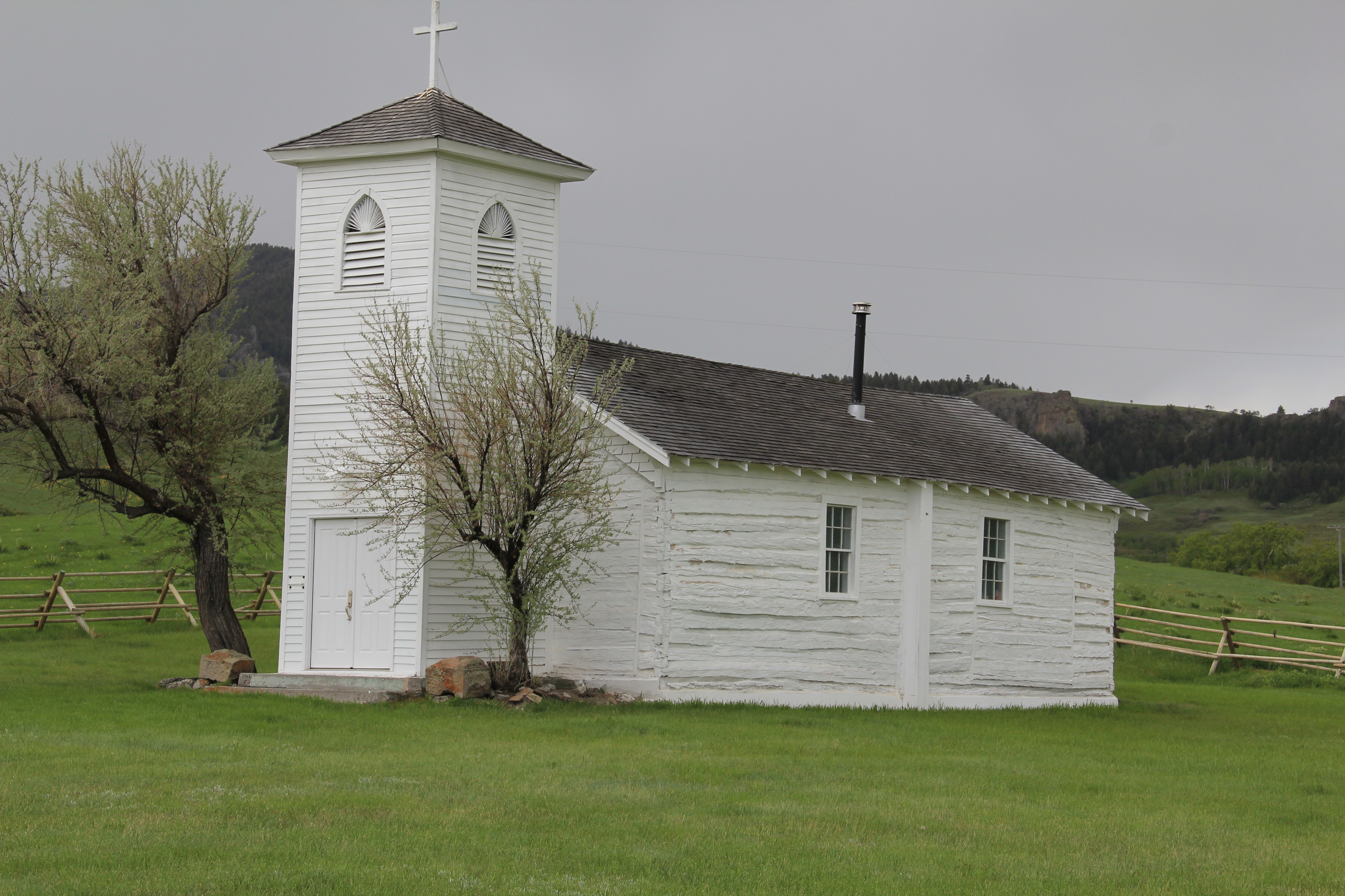
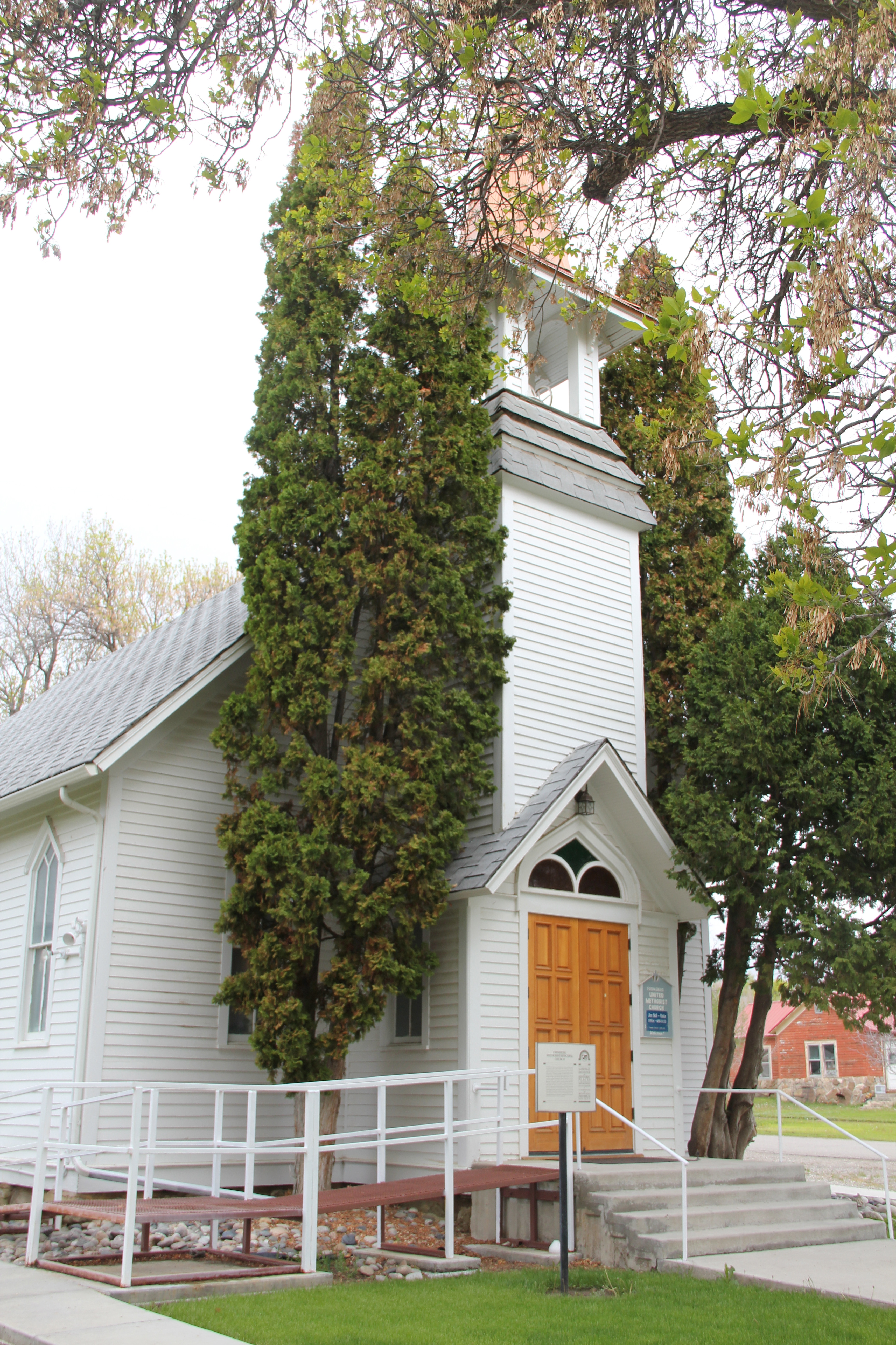
The homes are clustered around two historic churches, the brick St. Joseph Catholic church and the frame Gothic-styled and National Register-listed Methodist Church, built in 1907-1908 by contractor Charles Darnell and the community.

 T
T
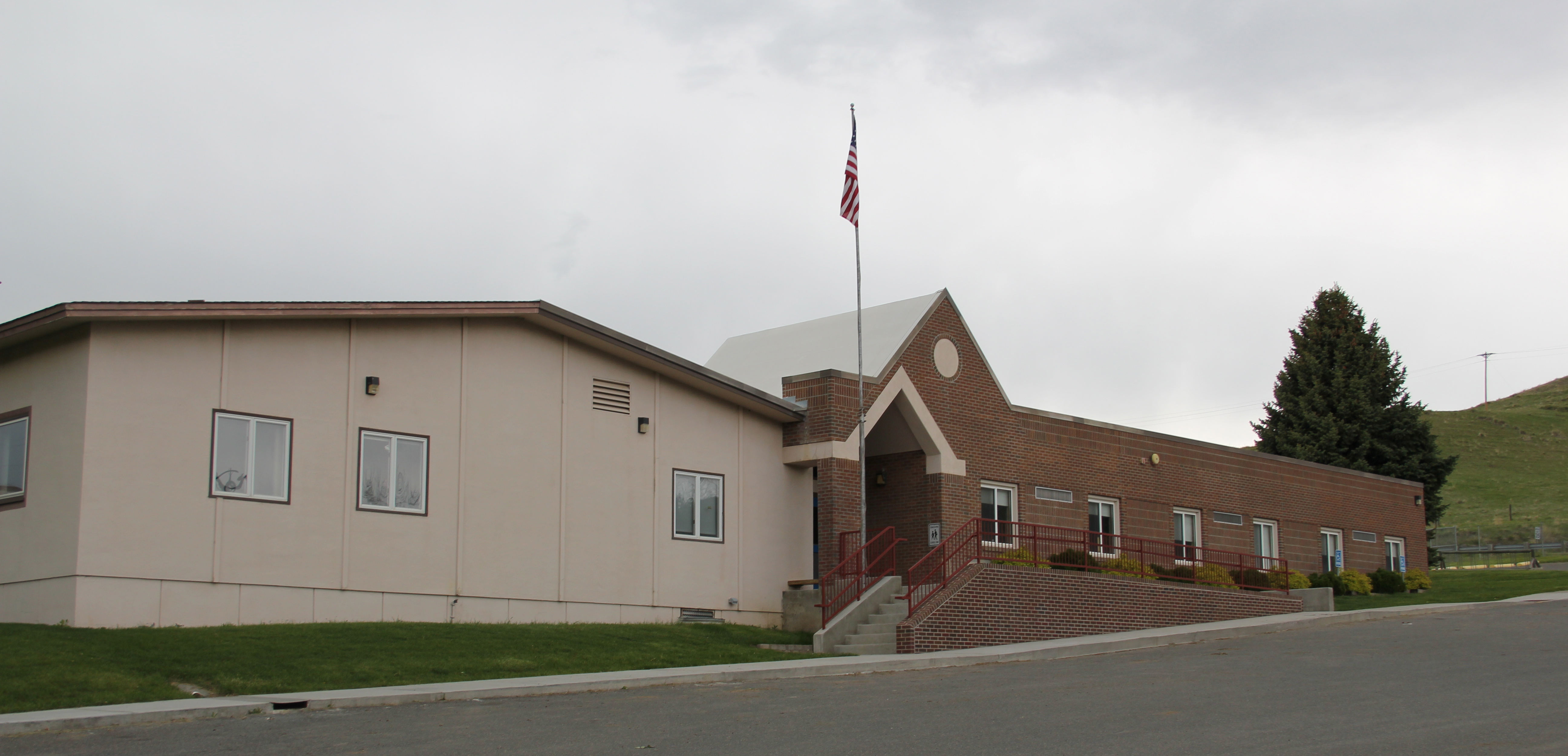
The historic Fromberg school, like its counterpart in Edgar, was part of the countywide program of building modern schools by the WPA during the New Deal. Its still impressive facade conveys well the WPA’s sense of modernism, and it remains the town’s primary community center today.