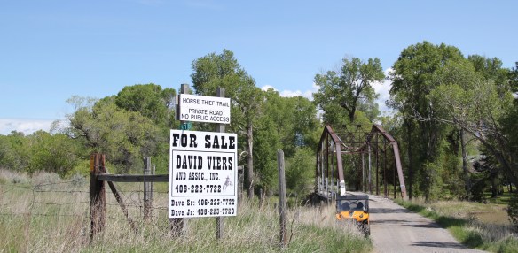
 Traveling south of Clyde Park on U.S. 89, you pass by the turn-off for Horse Thief Trail, where a historic steel bridge still allows for one-lane traffic over the Shields River; this bridge and snippet of road is part of the original route of U.S 89. That means you are nearing the confluence of the Yellowstone and Shields rivers, and where U.S. Highway 89 crosses the Yellowstone River and takes you into the heart of Park County. Paralleling the modern concrete bridge is a c. 1897 steel Pratt through truss bridge, to serve the Northern Pacific Railroad spur that runs north to Clyde Park then Wilsall. The Northern Pacific called this the Third Crossing of the Yellowstone bridge; the Phoenix Bridge Company constructed it.
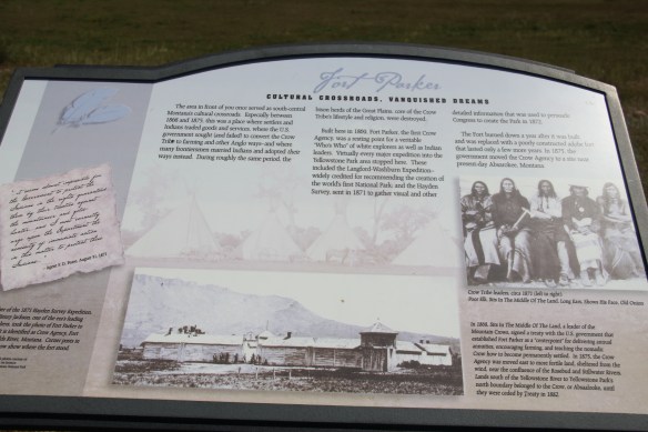
 Before jogging slightly to the west to head to Livingston, the county seat, two places east of the Shields River confluence are worth a look. First is the site of Fort Parker, established as the first Crow Agency in 1869 or the first federal facility in the valley. It operated from this location until 1875.

Interstate I-90 traffic passes directly by the fort site, which was on a low bluff overlooking the Yellowstone
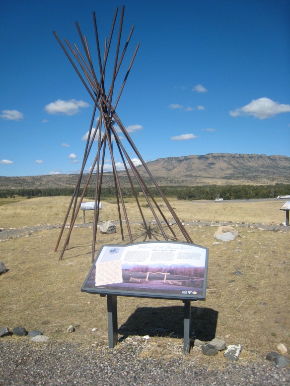
In conducting the 1983-1984 survey for the state historic preservation plan, the location of Fort Parker was understood, but not explored and certainly not interpreted. Here was a very important story of how the Crow Indians initially interacted with federal agents within 4 years of the end of the Civil War and 7 years before the battle of Little Big Horn. Nothing was marked; it was in danger of becoming a forgotten place.
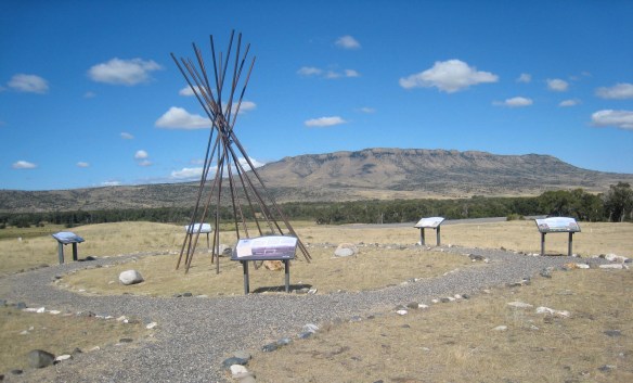 Gladly all of that changed in the 21st century. As a result of another innovative state partnership with land owners, there is an interpretive center for the Fort Parker story, easily accessible from the interstate, which also does not intrude into the potentially rich archaeological remains of the fort. The story told by the historical markers is accurate and comprehensive, from the agency’s beginnings to the land today.
I really like how the metal tipi poles not only make the site easy to locate but it gives it a Native American centeredness, a presence, that otherwise is missing when all that the visitor finds is an interpretive marker. After all the story of Fort Parker is very much the story of the Crow Indians, and how they resisted, accommodated, and came to terms with the increasing white presence in the Yellowstone Valley in the 1870s.
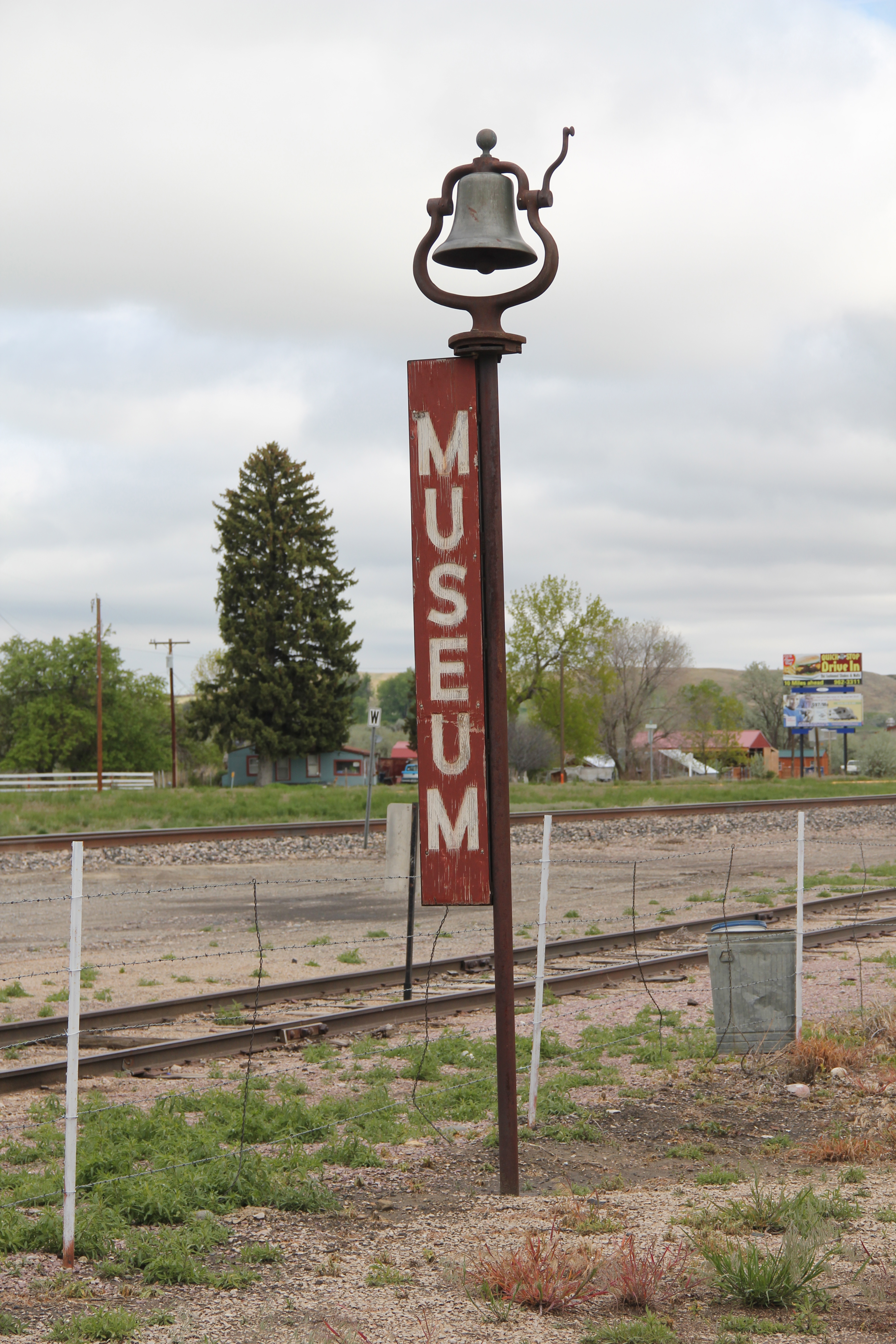
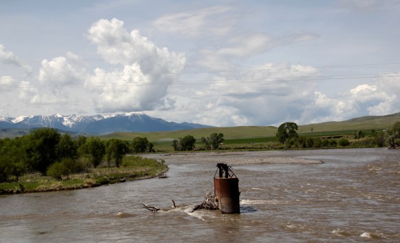
 Few remnants of that early white settlement remain today; you can find some just north of Springdale, at Park County’s eastern border, on the north side of the Yellowstone River. Hunter’s Hot Springs was the first attraction, established by Andrew Jackson Hunter in the 1870s, and receiving its last update in the early years of automobile tourism in the 1920s, as shown below in this postcard from my collection. Today, as the Google image below also shows, there are just scattered stones and fences from what had been a showplace for the valley.


The disappearance of Hunter’s Hot Springs from the valley landscape is also reflected in marked decline at Springdale, the railroad town south of the river that provided access to the resort, over the last 30 years. One of the Yellowstone’s famous early 20th century highway bridges once crossed here; remnants are all that remain now.
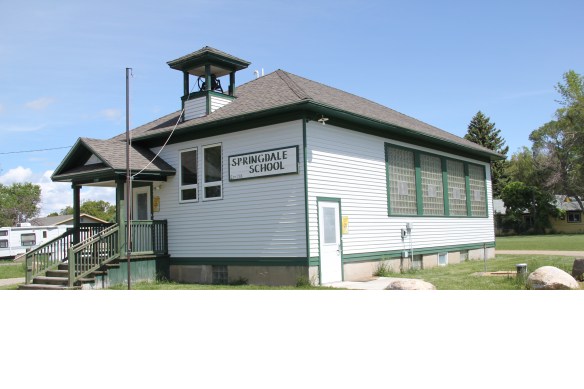
 Commercial businesses once lined the town side of the Northern Pacific tracks. Nothing is open today although trains rumbled down this historic main line every day. What does survive is impressive and worthy of


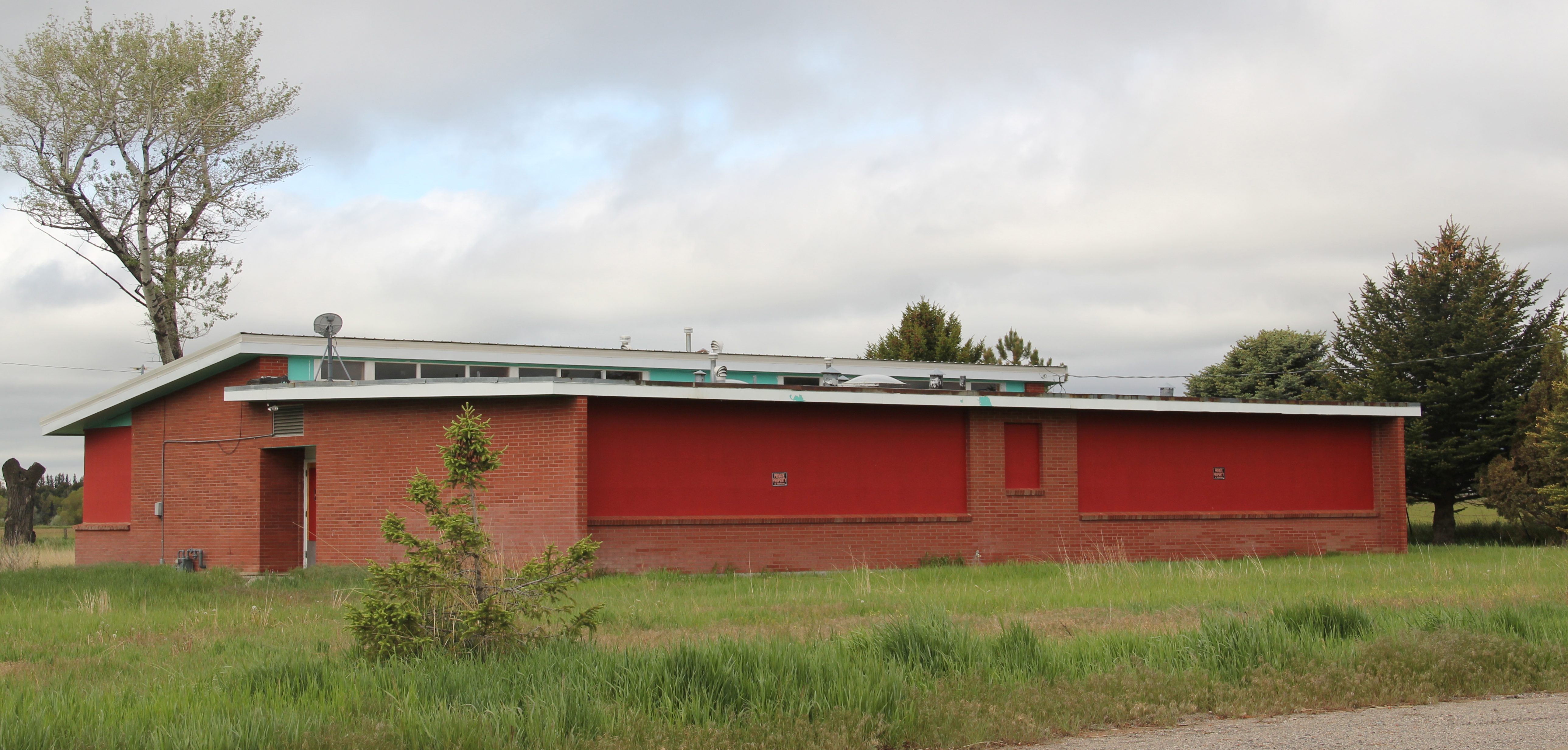
landmark status in my opinion: the Springdale school. Once nestled on the edge of town (what was then the least valuable land since everything was focused on the tracks) but now easily found from the interstate exit, this school may be the most accessible rural school in the state. Built in 1918, it is still the town’s focus almost 100 years later.

 As the highway leaves the central plains east of Great Falls, it heads east through coal country (see the earlier post on Belt) and south into the Little Belt Mountains and the old mining towns of Monarch and Neihart (above). Both Cascade County towns are proud of their heritage, a story embodied in the Monarch-Neihart School, a wonderful bit of log craftsmanship from the New Deal era, a WPA project finished in 1940 that is listed in the National Register of Historic Places.
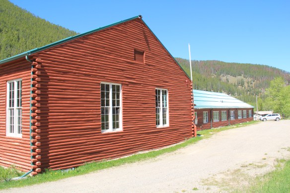


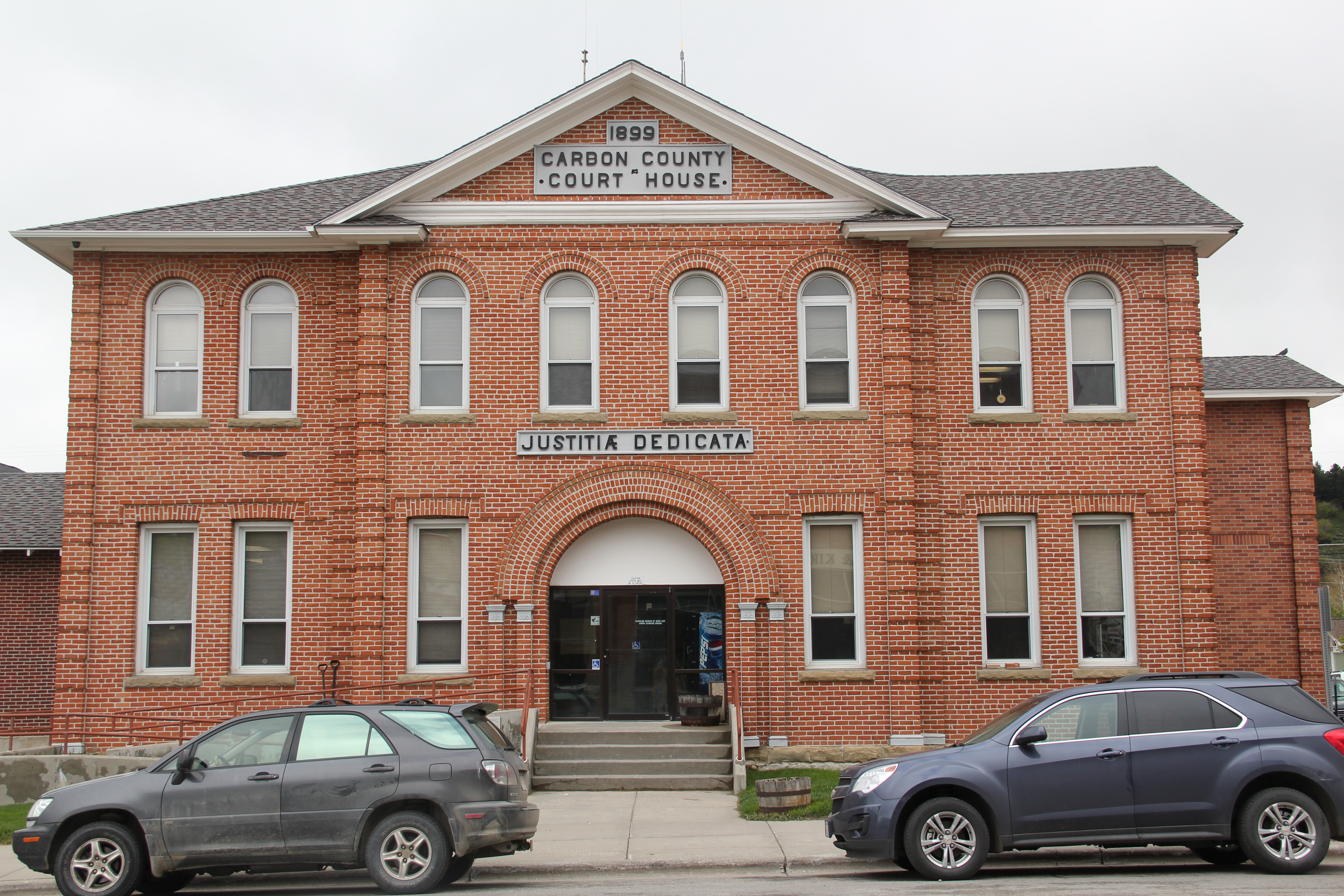
 When I last visited there in 2015 the combined route of U.S. 89 and 12, which passes in front of the courthouse and the center of town, was being rebuilt, giving the historic business district the look of a ghost town.

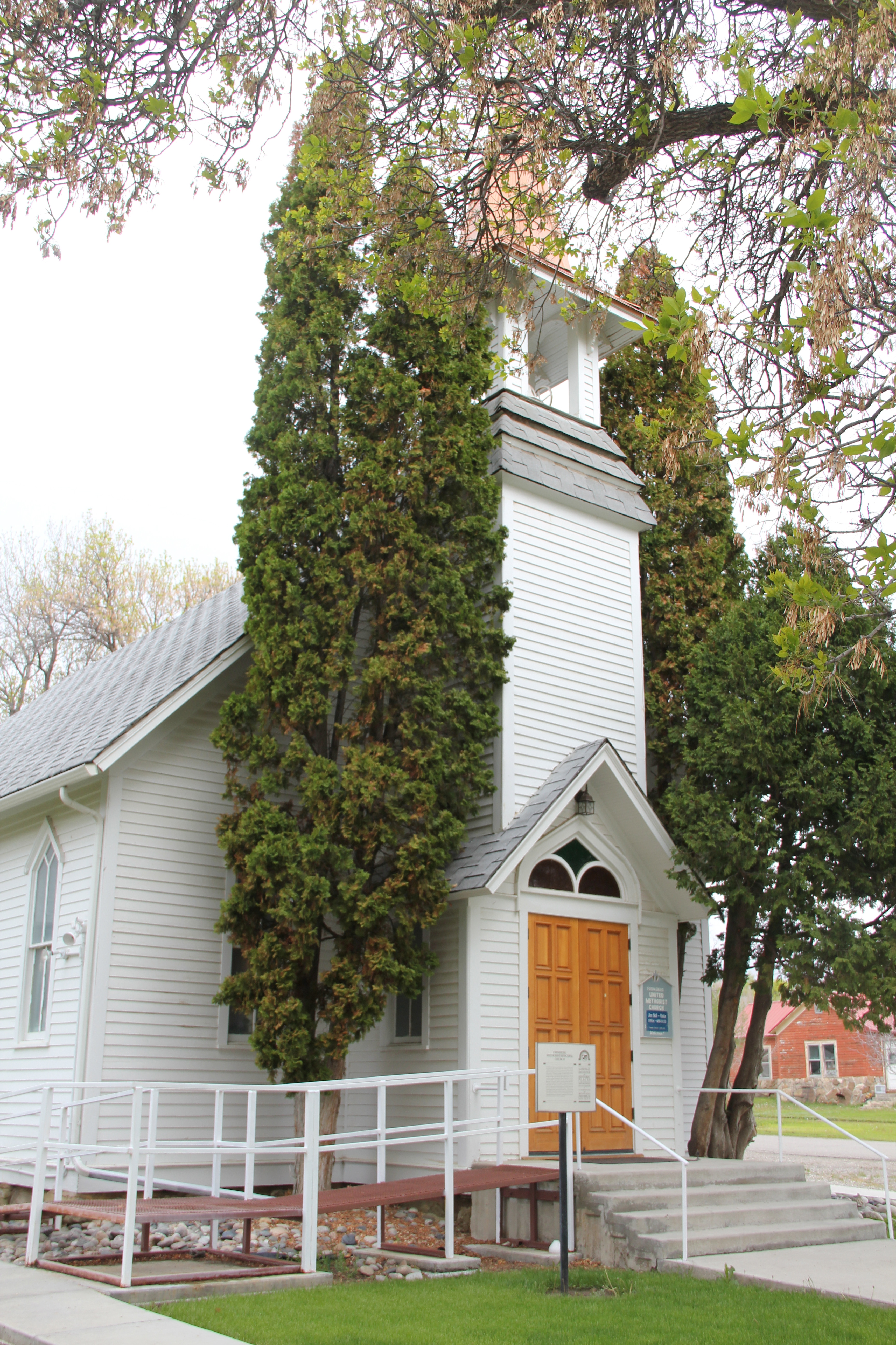
 U.S. Highway 89 continues south, crossing the historic corridor of the Milwaukee Road at Ringling, another Meagher County town discussed in an earlier post, marked by the landmark St. John’s Catholic Church.
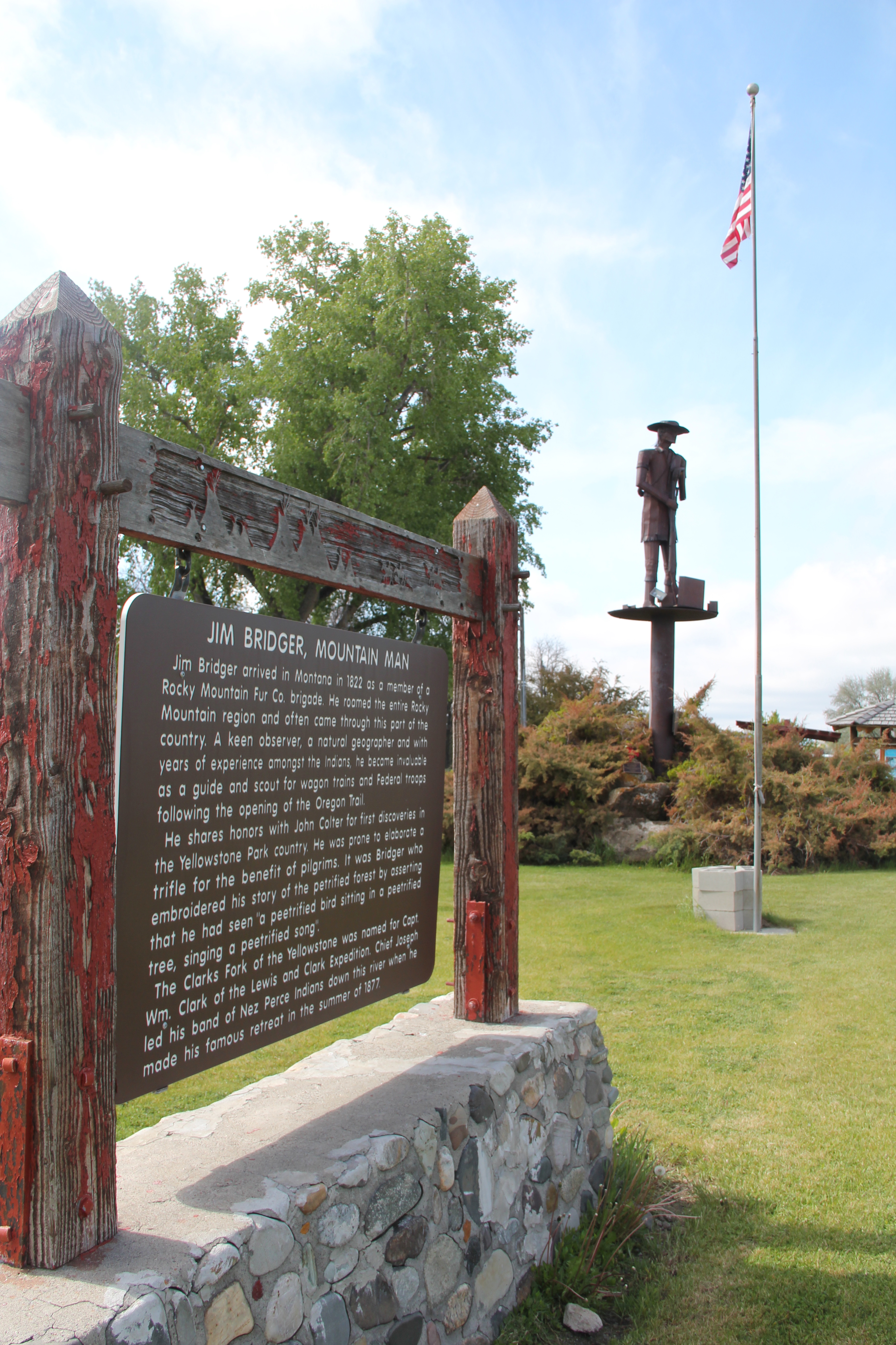
 Travelers continuing south soon find themselves in Park County, entering the Shields River Valley just north of Wilsall, where highway markers and monuments, like that for “Thunder Jack” (2006) by sculptor Gary Kerby, convey the significance of the place.
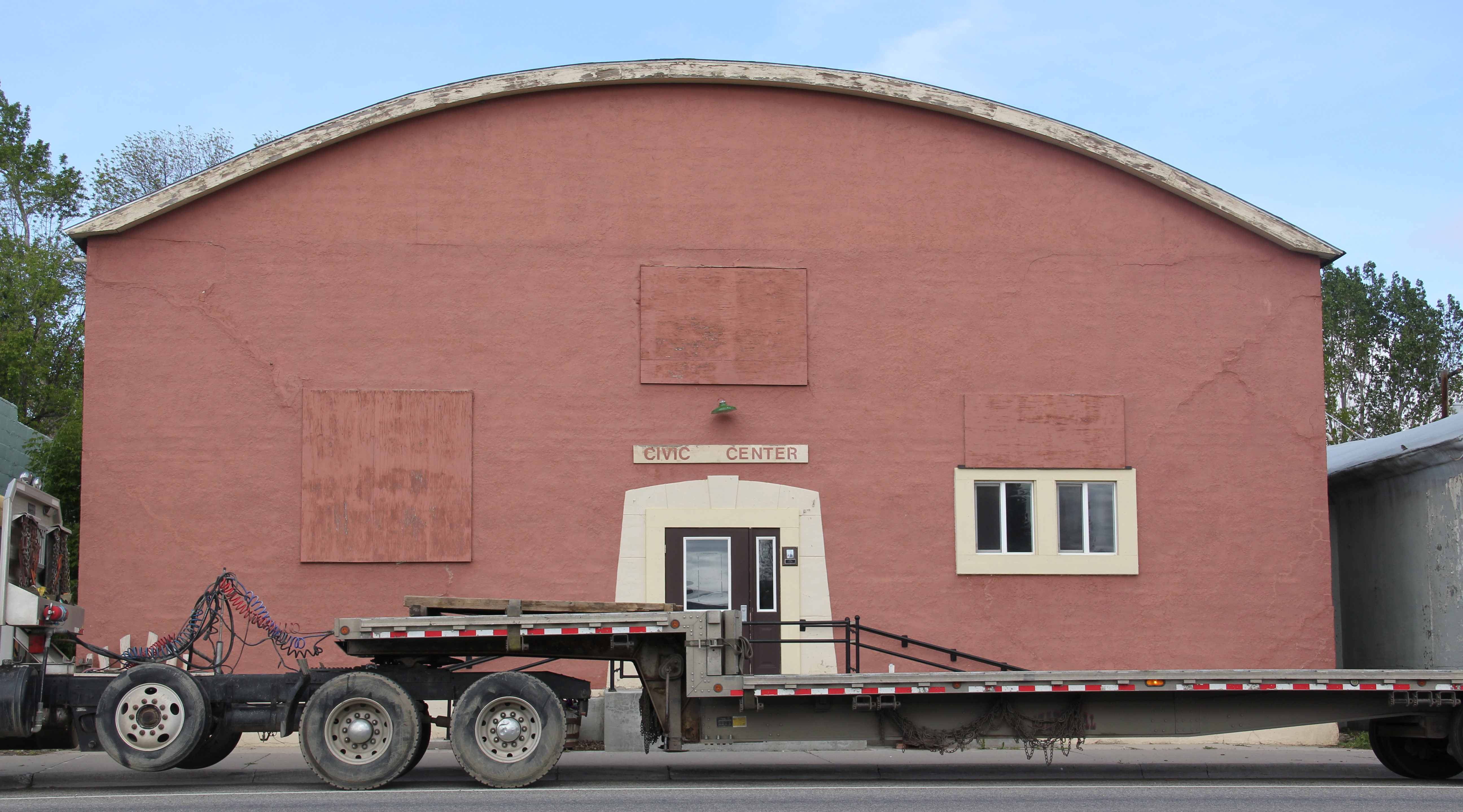
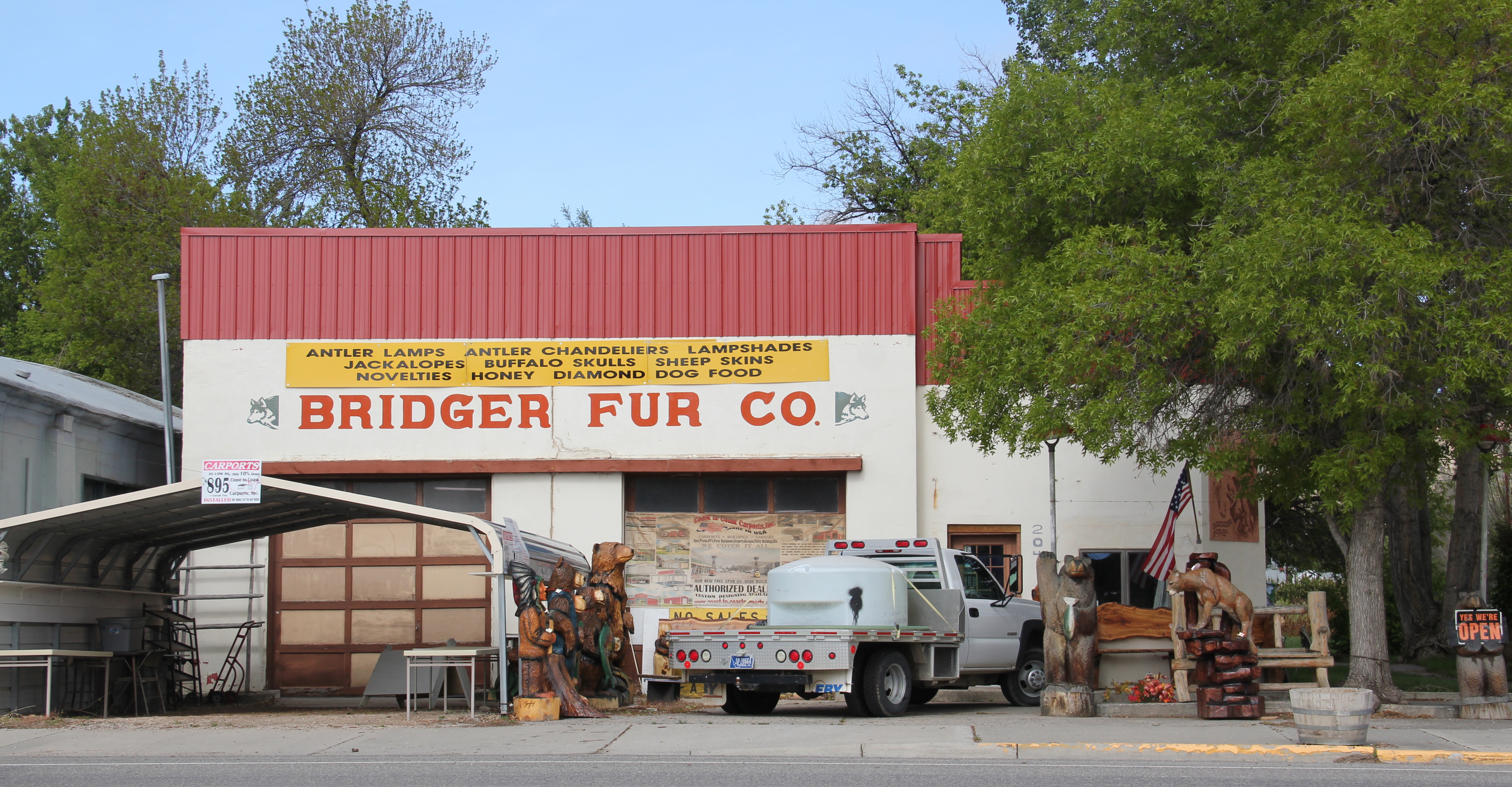
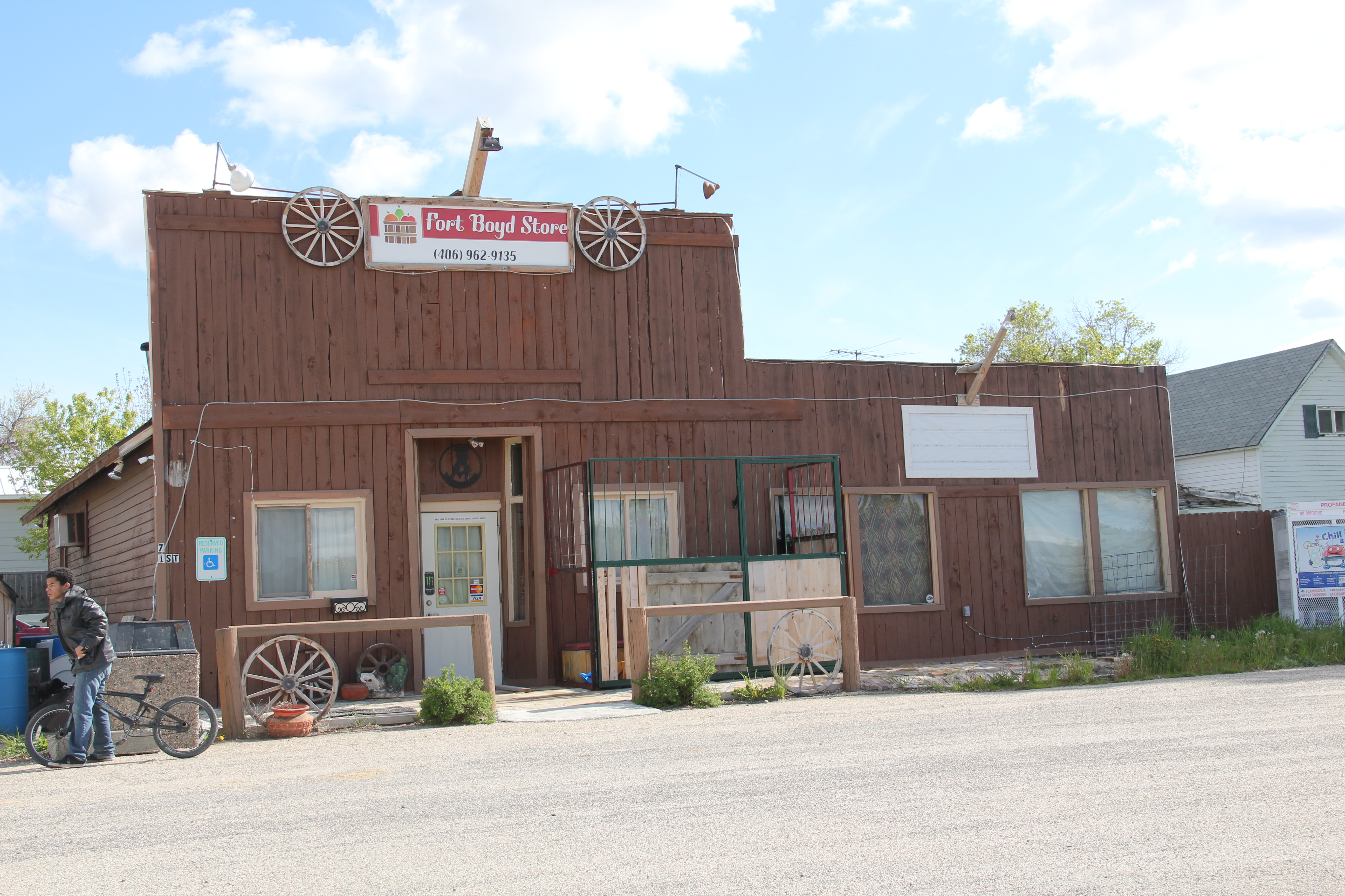
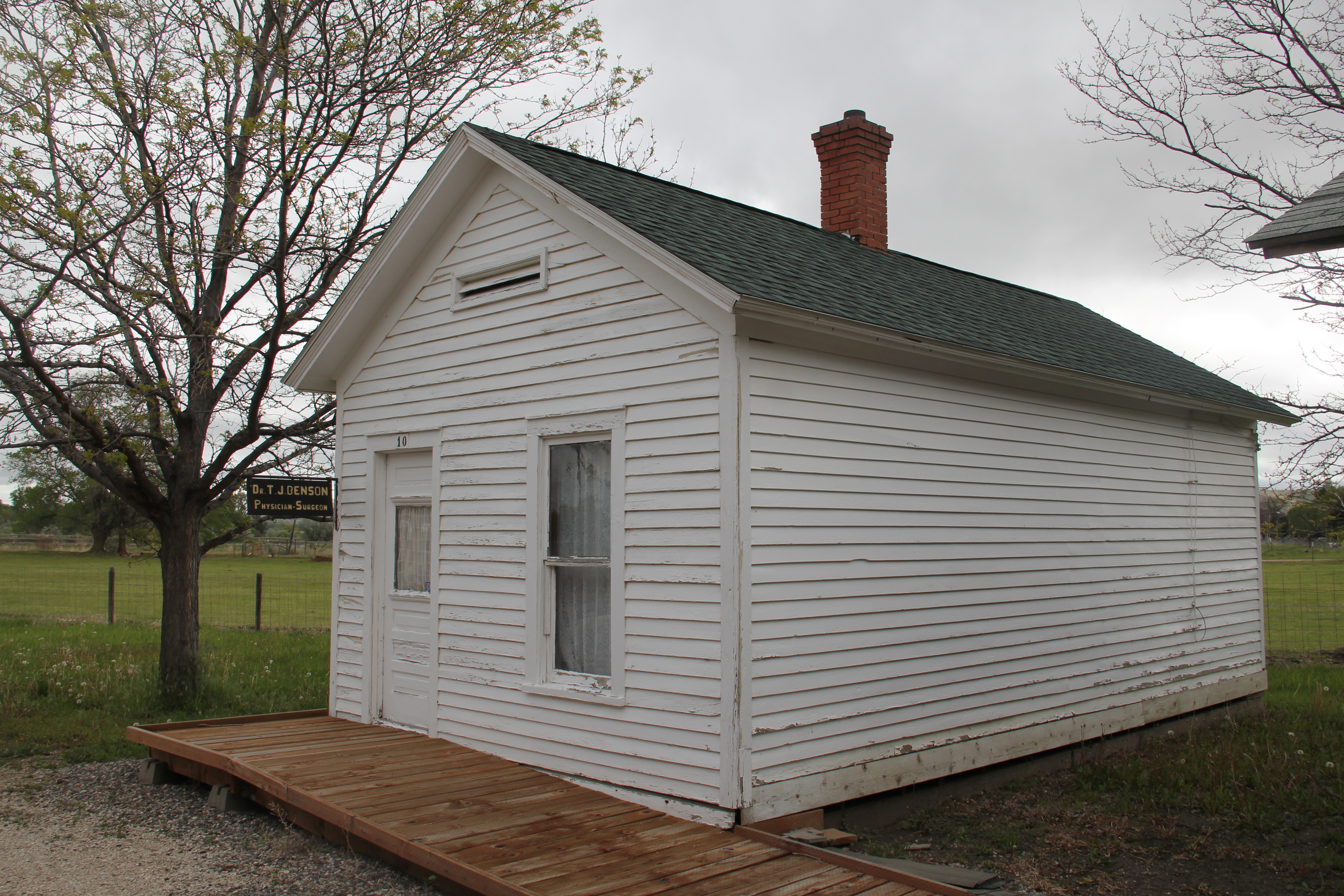
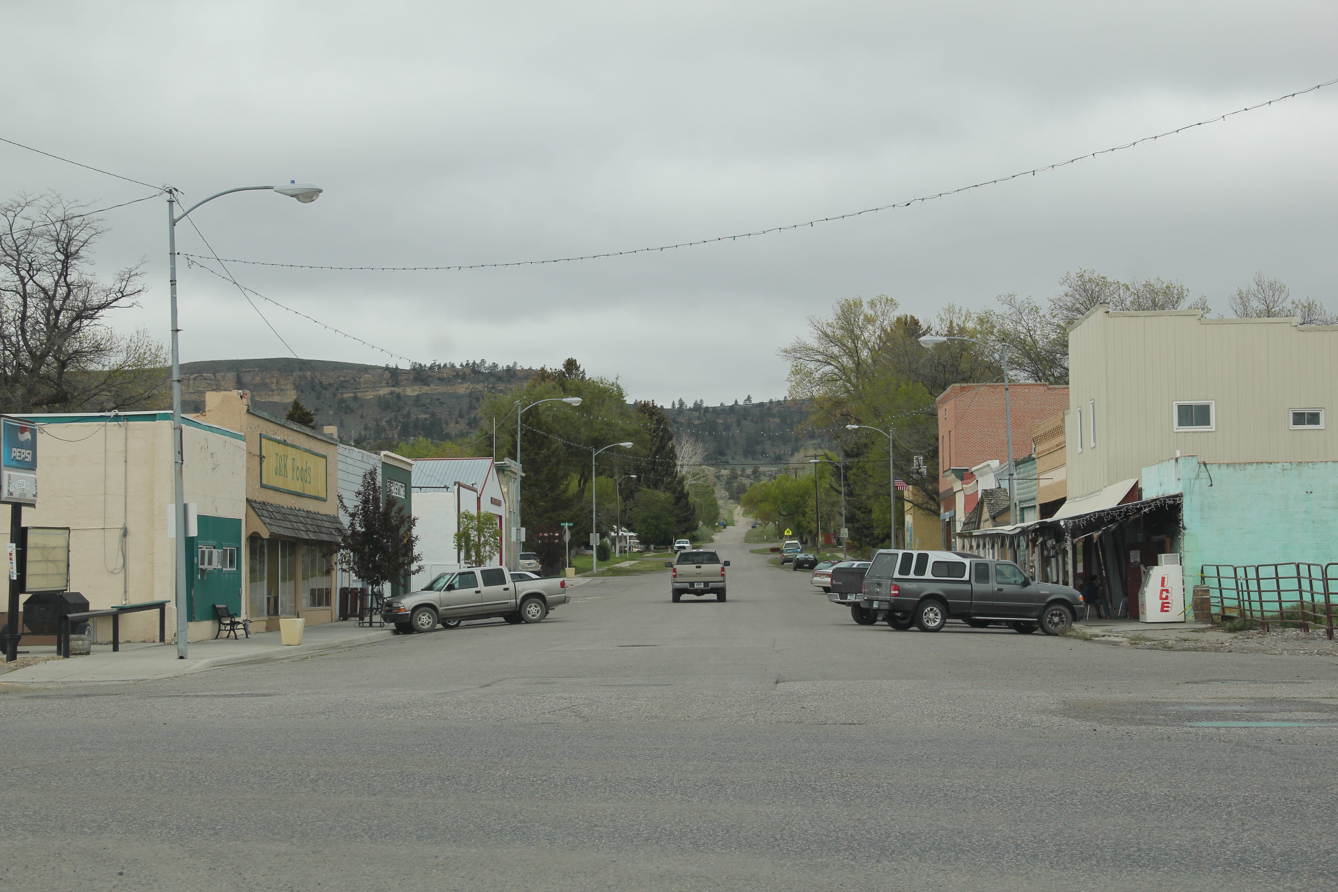
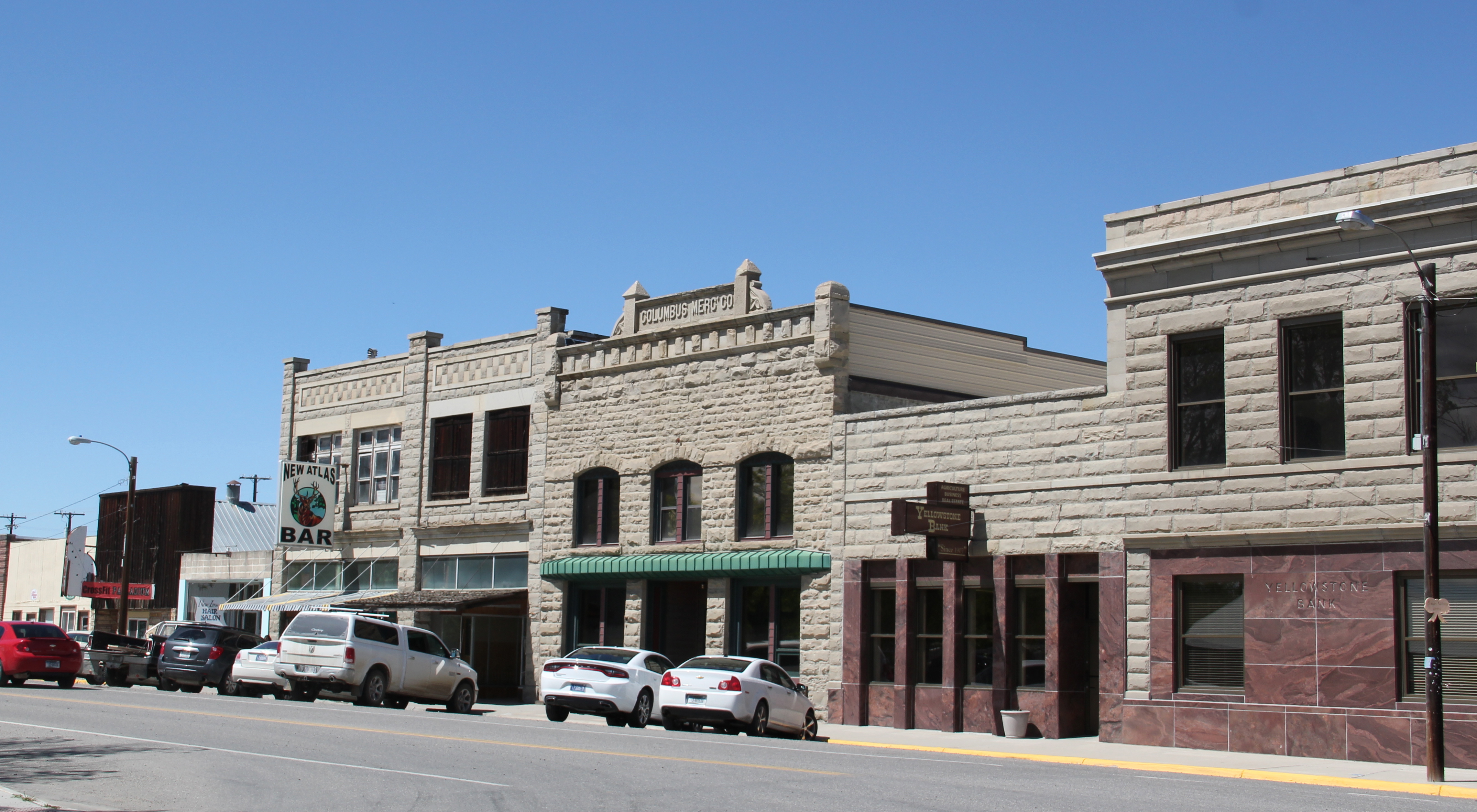
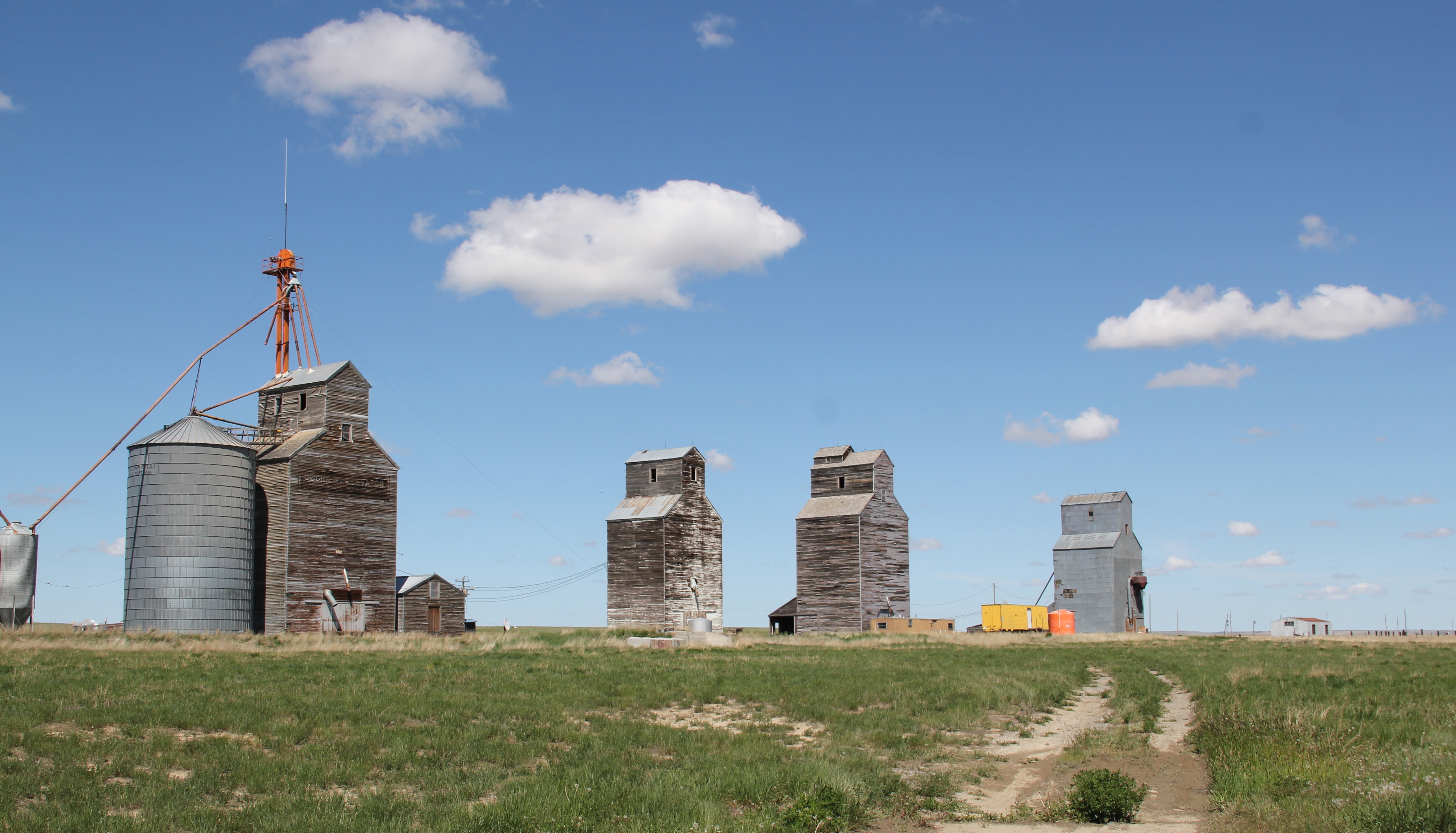
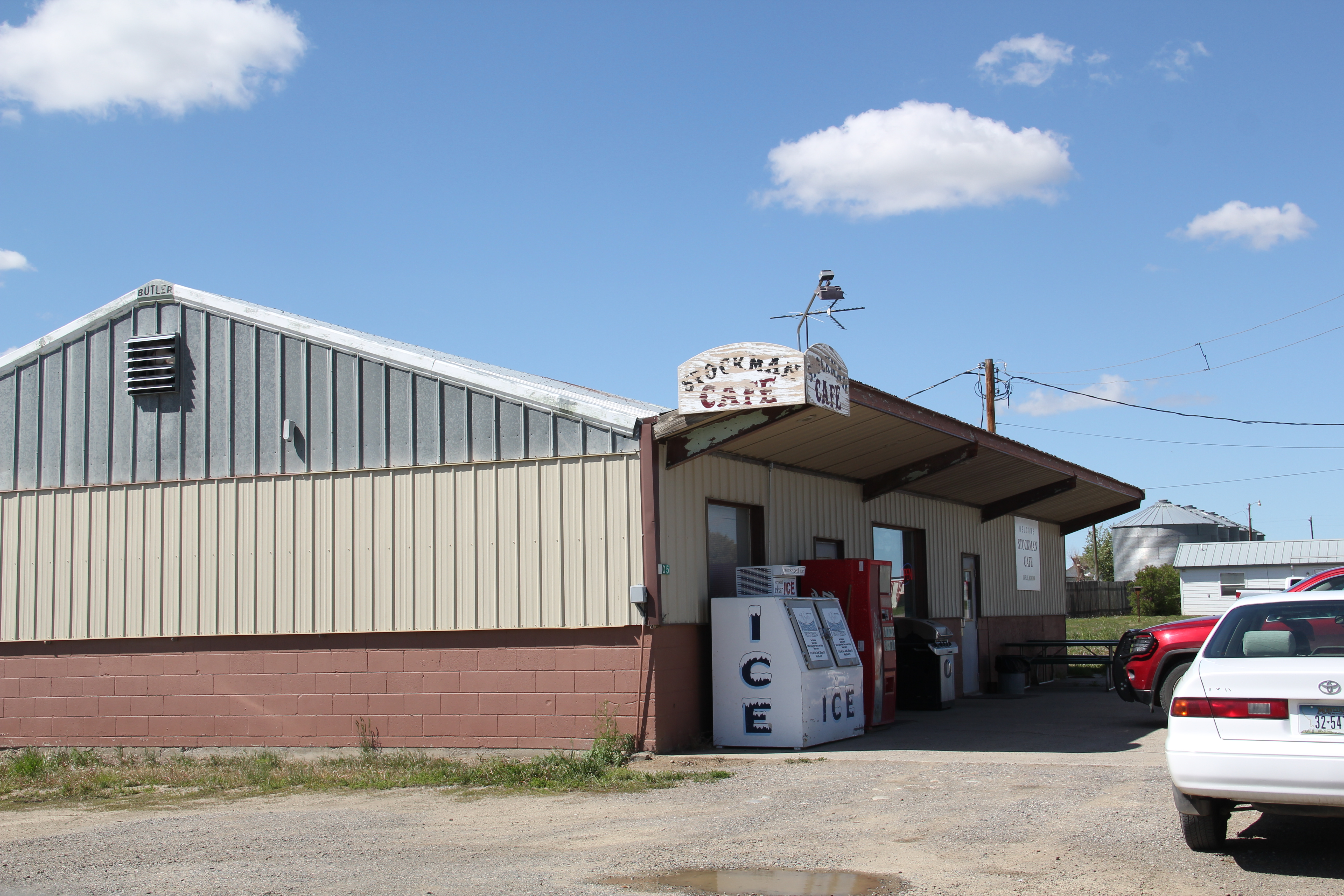
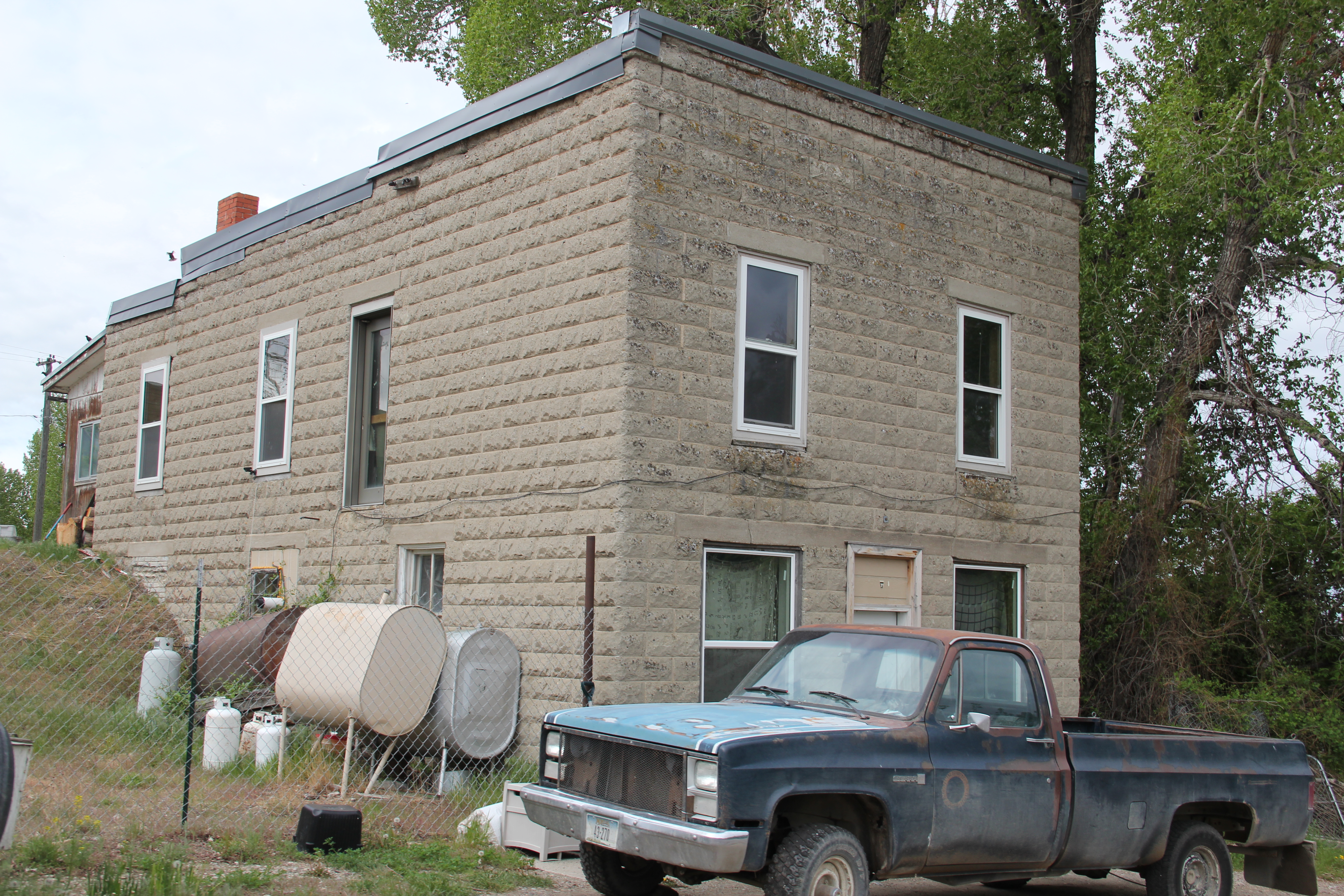
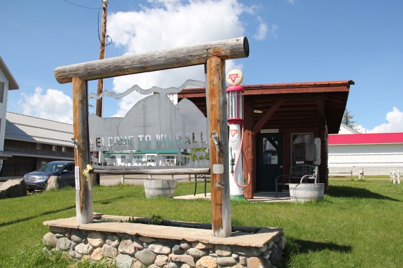
 Wilsall was not much a place 30 years ago, a small trade town on the edge of a Northern Pacific Railroad spur line, a past still recalled by the tall elevator and old railroad corridor.
 But the growing popularity of the Shields River Valley has led to a new boom in Walsall, with old banks converted into bars and old general stores


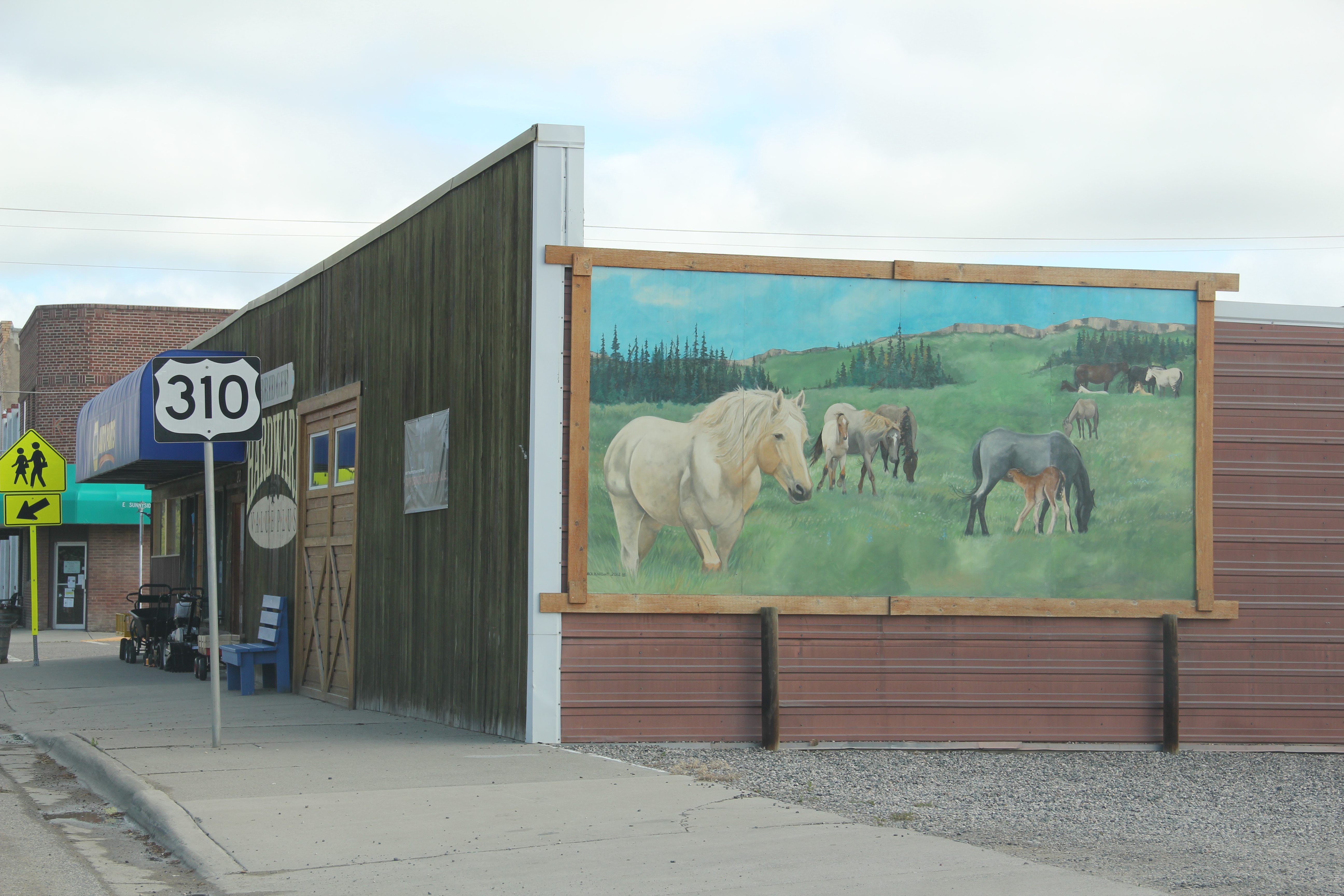
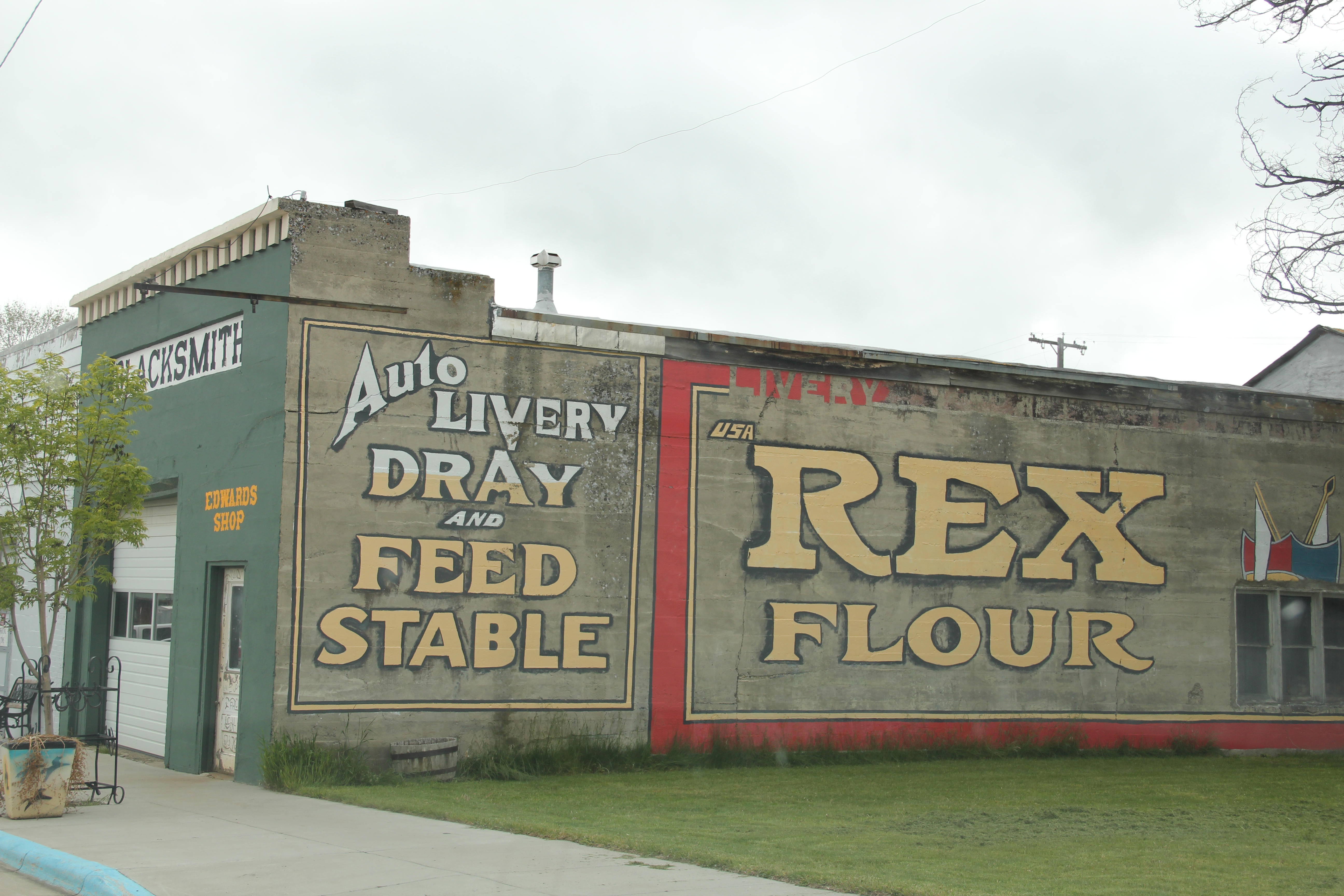
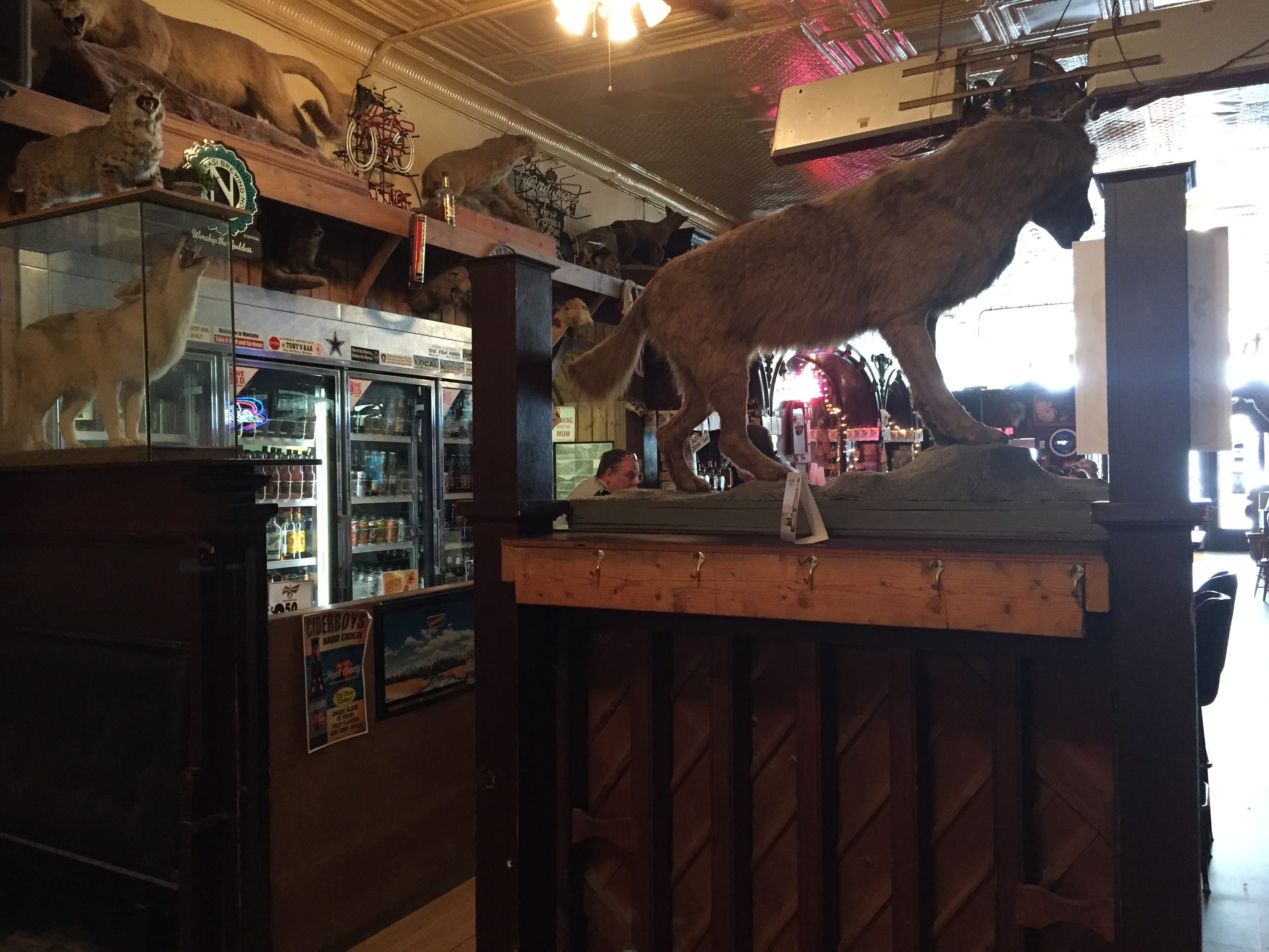
 Clyde Park Tavern is still the place to go for an adult beverage, or two. Historic grain elevators still serve local ranchers, marking the railroad line that defined the town’s landscape until the impact of the highway in the early 20th century.