In my work on the state historic preservation plan in 1983-1994, I was excited about the new insight I could bring to the state’s landscape–the impact of the transcontinental railroads and the transportation and settlement corridors that they established in the late 19th and early 20th century. Railroads were of course not a new theme then–books abounded on the railroad barons and the romance of the rails. But as a built environment–that was new, reflecting current scholarship from John Hudson, John Stilgoe, and Roger Grant. So whenever I hit a major railroad division point–like Livingston–I only saw the rails and what happened around them.
That was certainly easy enough to do coming into Livingston from the west on old U.S. 10. The railroad tracks were directly to the north, as well older elements of the town’s roadside architecture, like the exquisite Art Deco-styled radio station, KPRK, now closed for broadcasting (the station’s signal comes from Bozeman) but listed in the National Register. William Fox, a Missoula architect, designed this jewel in 1946.
 Continuing west you soon encounter post-World War II service stations and motels, some updated, some much like they were, on the outskirts of town and then, boom, you are in the heart of Livingston, facing the commanding presence of the Northern Pacific depot complex with warehouses–some now converted to new uses–coming first and then
 massive passenger station itself. Opened in 1902, the passenger station was an architectural marvel for the new state, designed by Reed and Stem, who would continue on to great fame as the architects of Grand Central Station in New York City. The station, interestingly, is not Classical Revival in style–certainly the choice of most architects for their grand gateways along the nation’s rail line–but a more restrained interpretation of Renaissance Revival style, completed in red brick.
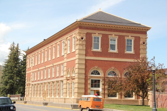 The building is not particularly inviting for locals coming from the business district to the depot–that was not its primary audience. Rather the grand entrance is track side, where passengers headed to Yellowstone National Park could depart for food, fun, frivolity, whatever they needed before the journey into the wildness of Yellowstone.

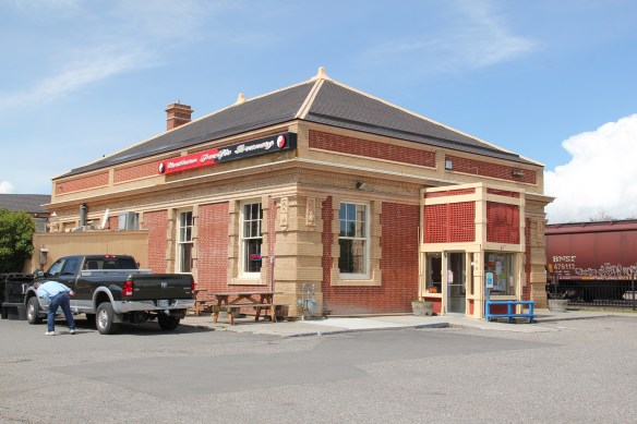
 Travelers were welcome to use the grand covered walkways to enter the depot proper, or to take a side visit to the railroad’s cafe, Martin’s as I
 knew it back in the day, a place that rarely slept and always had good pie. The cafe changed its orientation from the railroad to the road as automobile travelers on U.S. 10 began to dominate the tourist market. Now it has been restored as a local brew pub.
The interior of the passenger station once held large public spaces for travelers and then more intimate spaces themed to either men or women.


Upstairs were spaces for offices, company lodging, and other company business. The station was the railroad’s urban outpost was what was then still the Montana frontier–its statement of taste and sophistication still reverberates today even as the depot no longer serves passengers (except for occasion excursion trains Amtrak doesn’t run here anymore) and serves as a railroad and Park County museum.

Thirty years ago, the overwhelming imprint of the Northern Pacific on the surrounding built environment was all I could see. At one corner was one of the first local historic preservation projects, an adaptive reuse effort to create the Livingston Bar and Grille (once popular with the valley’s Hollywood crowd).
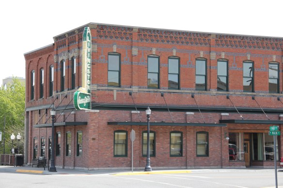 Directly facing the center of the passenger station was the mammoth Murray Hotel–a flea bag operation in the 1980s but now recently restored as a hipster place to be, especially its signature bar.


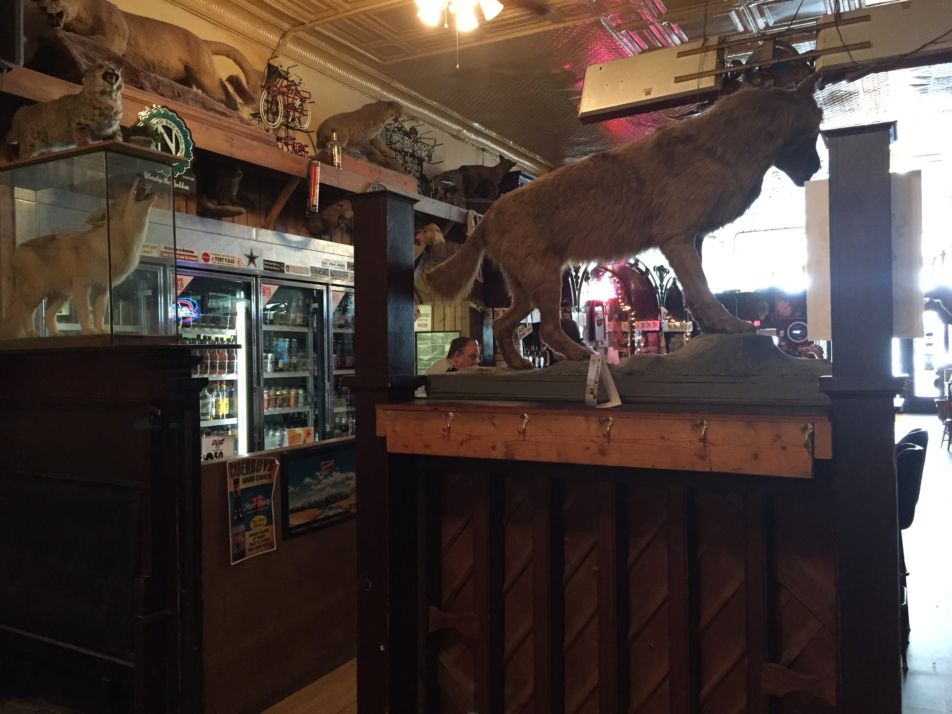
My throwback place back in the 1980s, however, was Gil’s. It was next to the Murray and the place to get the cheesy souvenirs you equate with western travel in the second half of the 20th century.
 Imagine my pleasant surprise last year when I found that Gil’s still existed but now had been converted into a decidedly up-scale establishment, far removed from the 1980s.
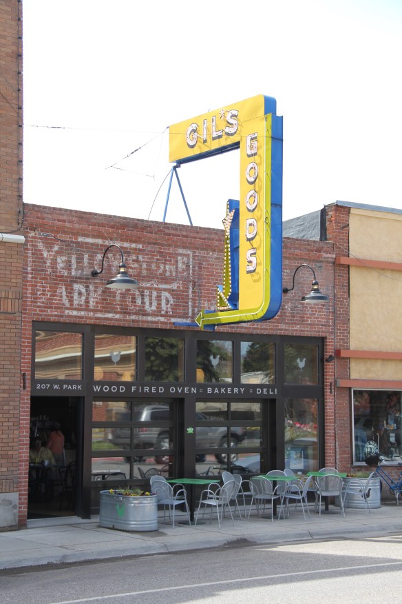 I don’t know if I have encountered a more fundamentally changed place–cheap trinkets gone, let the wood-fired pizzas come on.
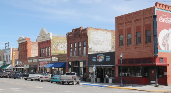 I was not so blinded in 1984 by the concept of the “metropolitan corridor” that I ignored the distinctive Victorian storefronts of Livingston–how could I since they all, in a way, fed into the tracks. But when I got to the end of that distinctive business district and watched the town, in my
 mind, fade into the Rockies, I had captured the obvious but had missed the bigger picture–that’s the next story.
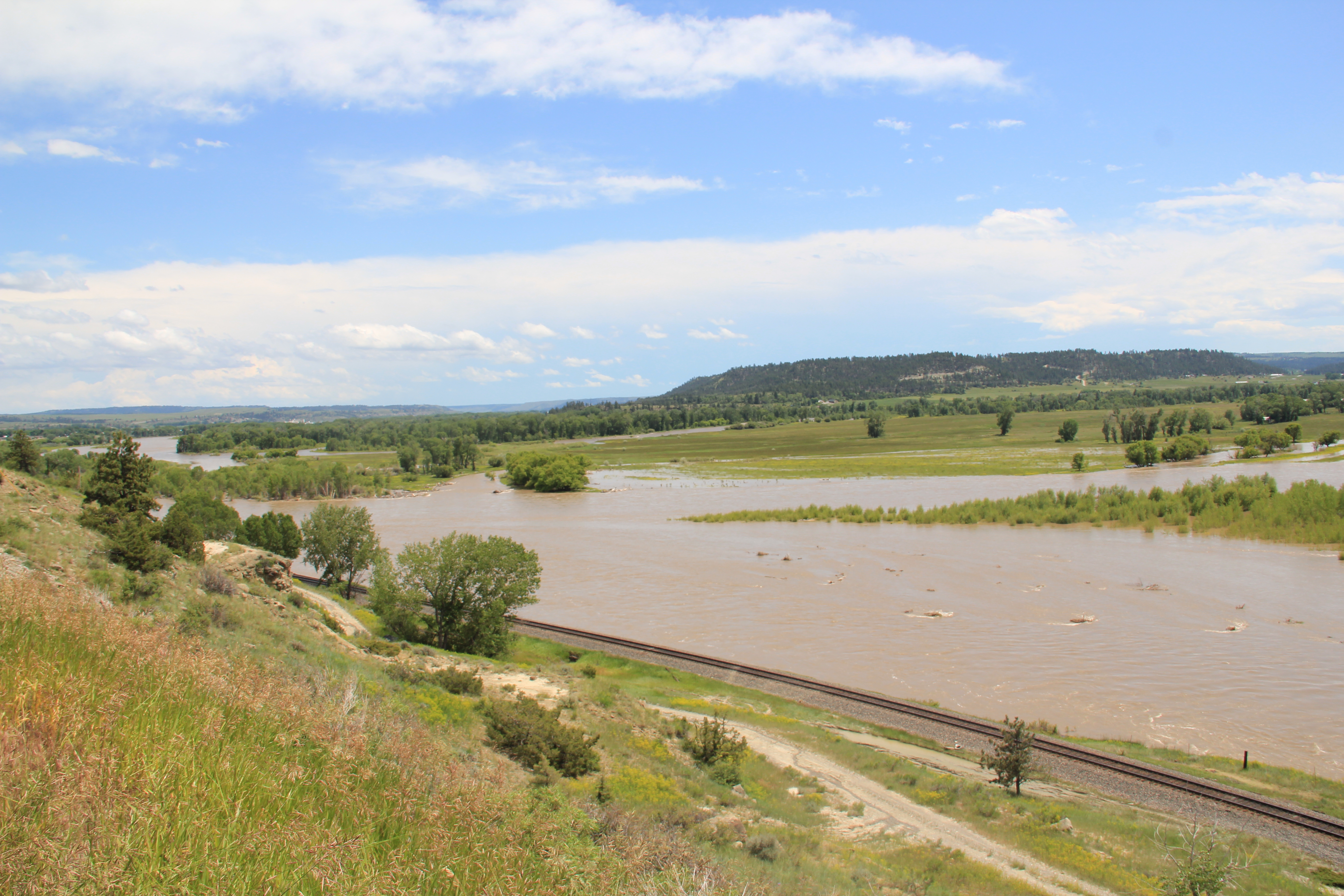
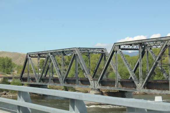
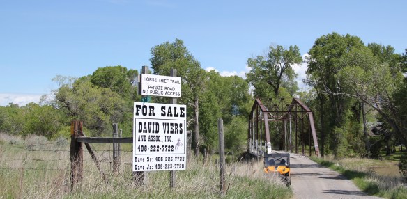 Traveling south of Clyde Park on U.S. 89, you pass by the turn-off for Horse Thief Trail, where a historic steel bridge still allows for one-lane traffic over the Shields River; this bridge and snippet of road is part of the original route of U.S 89. That means you are nearing the confluence of the Yellowstone and Shields rivers, and where U.S. Highway 89 crosses the Yellowstone River and takes you into the heart of Park County. Paralleling the modern concrete bridge is a c. 1897 steel Pratt through truss bridge, to serve the Northern Pacific Railroad spur that runs north to Clyde Park then Wilsall. The Northern Pacific called this the Third Crossing of the Yellowstone bridge; the Phoenix Bridge Company constructed it.
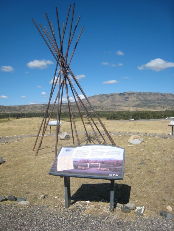
 Before jogging slightly to the west to head to Livingston, the county seat, two places east of the Shields River confluence are worth a look. First is the site of Fort Parker, established as the first Crow Agency in 1869 or the first federal facility in the valley. It operated from this location until 1875.
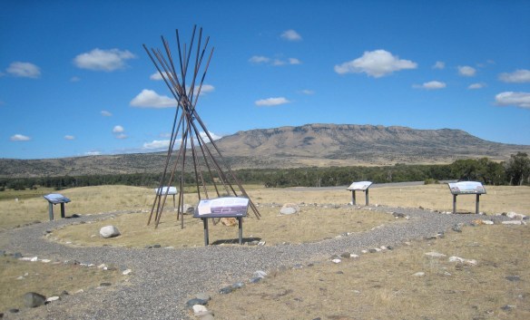 Gladly all of that changed in the 21st century. As a result of another innovative state partnership with land owners, there is an interpretive center for the Fort Parker story, easily accessible from the interstate, which also does not intrude into the potentially rich archaeological remains of the fort. The story told by the historical markers is accurate and comprehensive, from the agency’s beginnings to the land today.
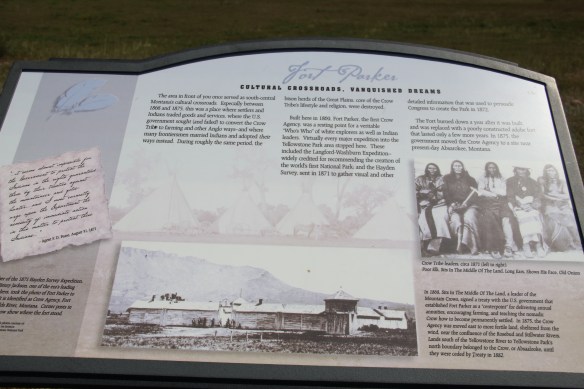
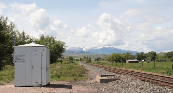
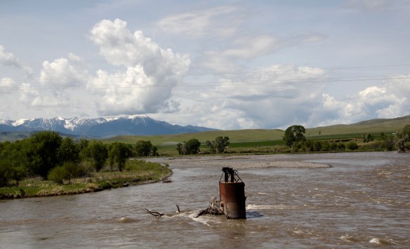
 Few remnants of that early white settlement remain today; you can find some just north of Springdale, at Park County’s eastern border, on the north side of the Yellowstone River. Hunter’s Hot Springs was the first attraction, established by Andrew Jackson Hunter in the 1870s, and receiving its last update in the early years of automobile tourism in the 1920s, as shown below in this postcard from my collection. Today, as the Google image below also shows, there are just scattered stones and fences from what had been a showplace for the valley.

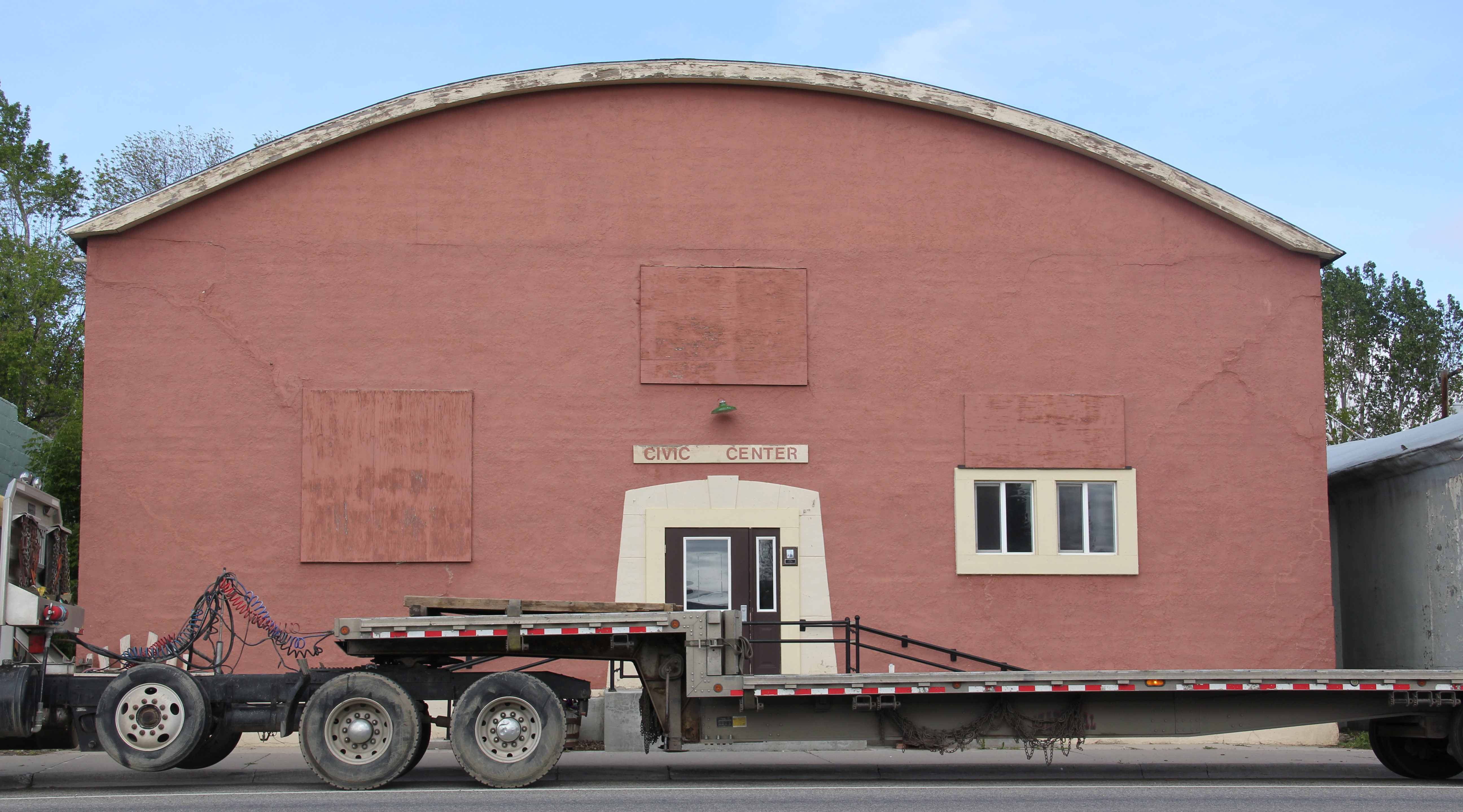
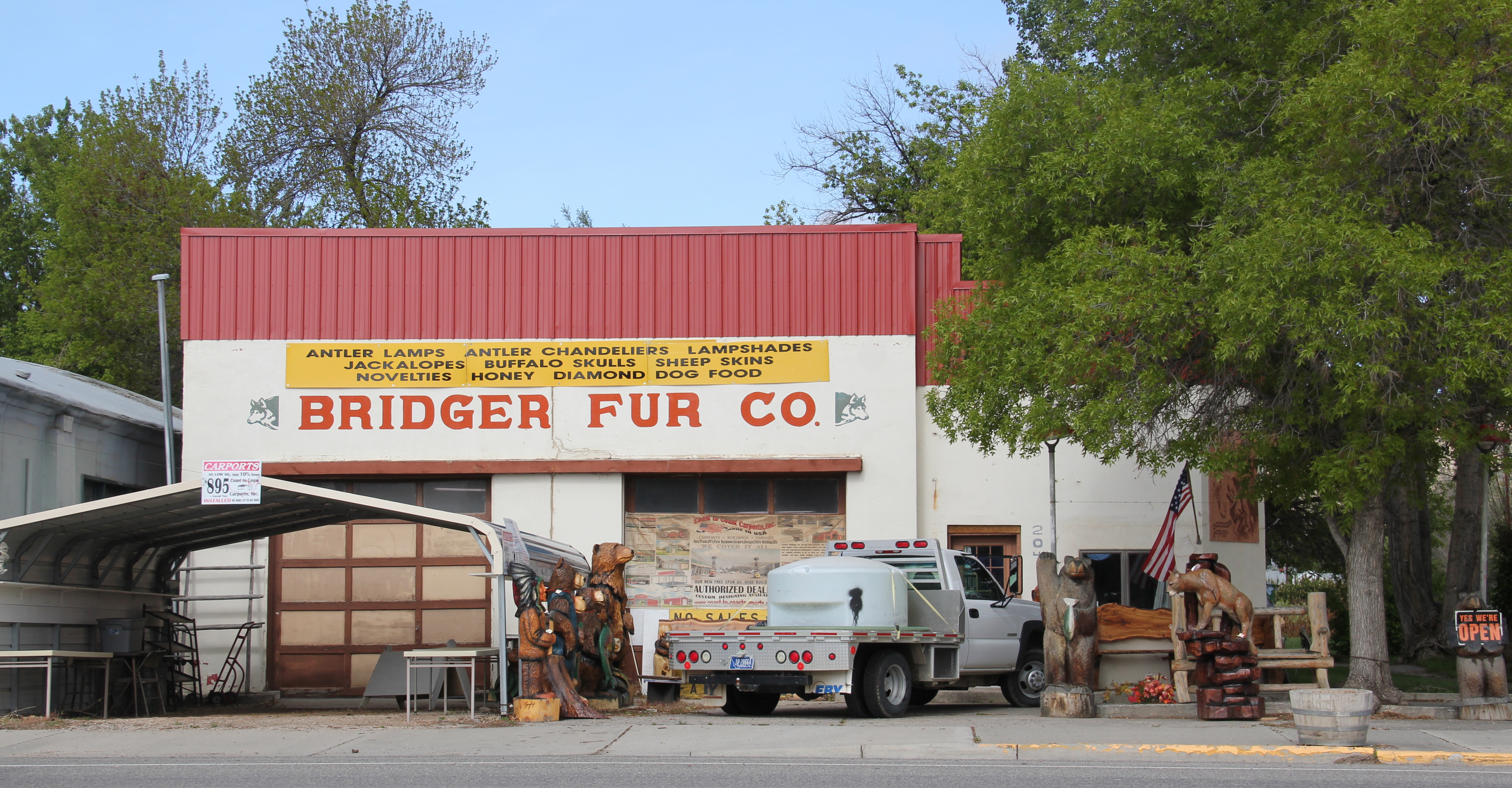
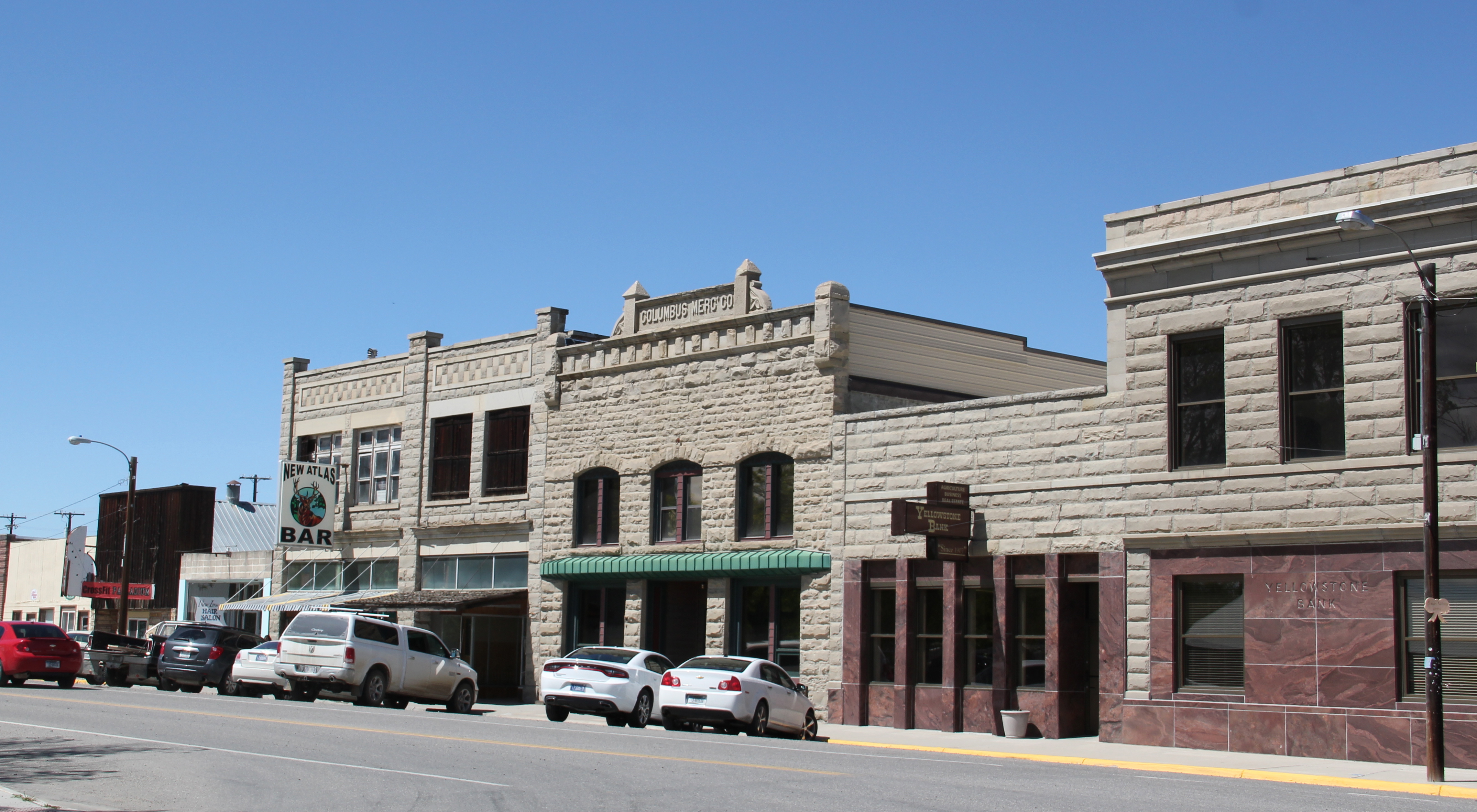
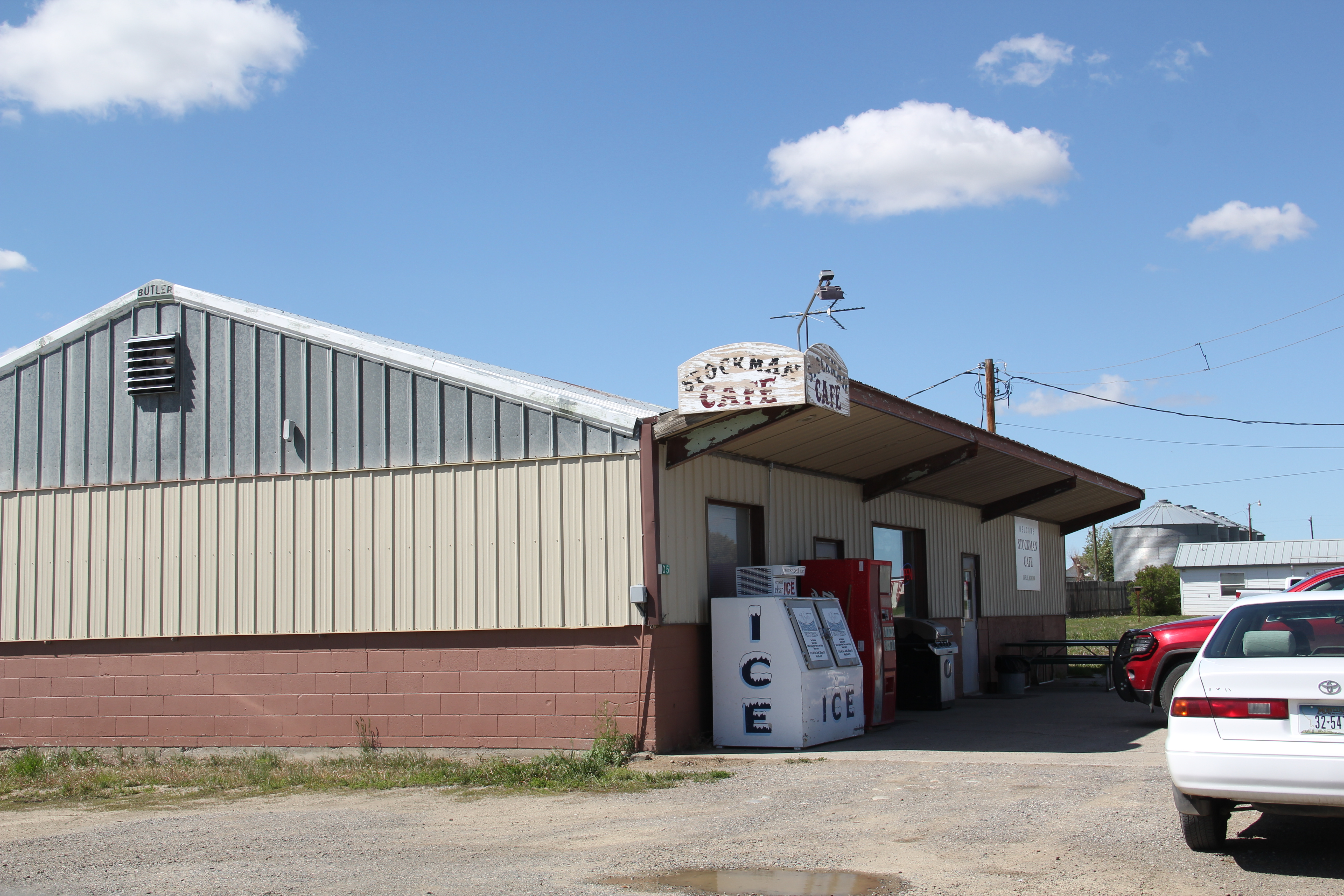
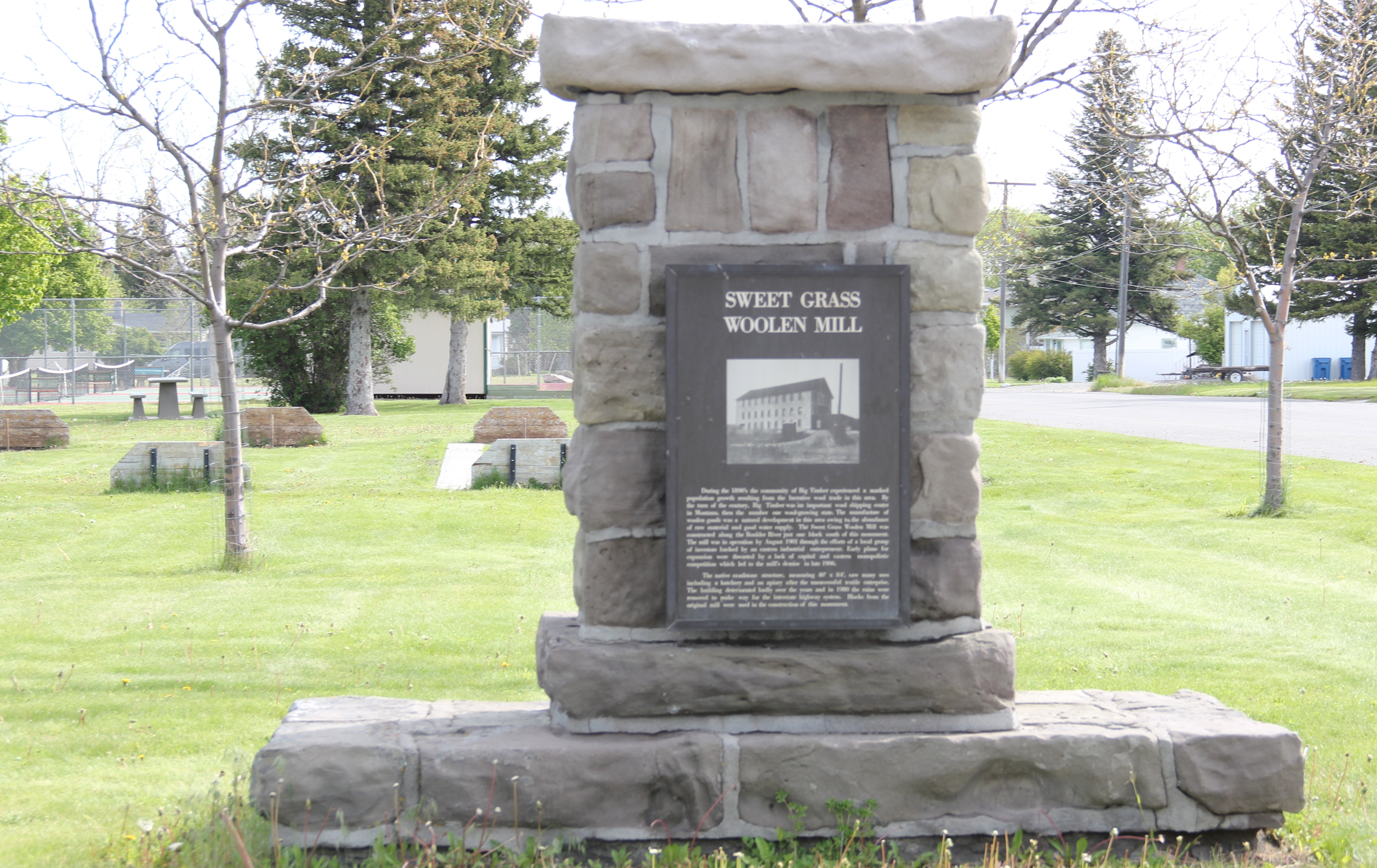
 Commercial businesses once lined the town side of the Northern Pacific tracks. Nothing is open today although trains rumbled down this historic main line every day. What does survive is impressive and worthy of


 As the highway leaves the central plains east of Great Falls, it heads east through coal country (see the earlier post on Belt) and south into the Little Belt Mountains and the old mining towns of Monarch and Neihart (above). Both Cascade County towns are proud of their heritage, a story embodied in the Monarch-Neihart School, a wonderful bit of log craftsmanship from the New Deal era, a WPA project finished in 1940 that is listed in the National Register of Historic Places.
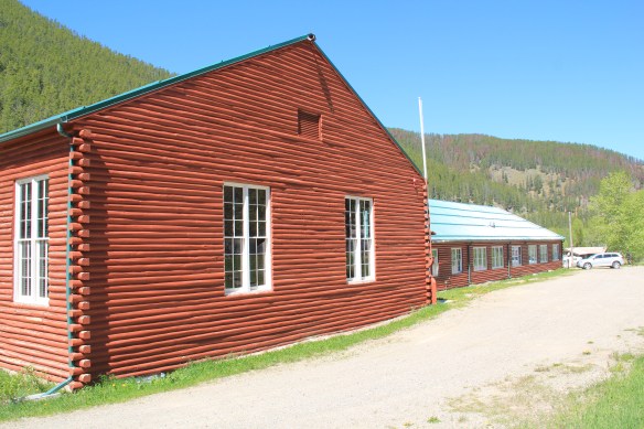


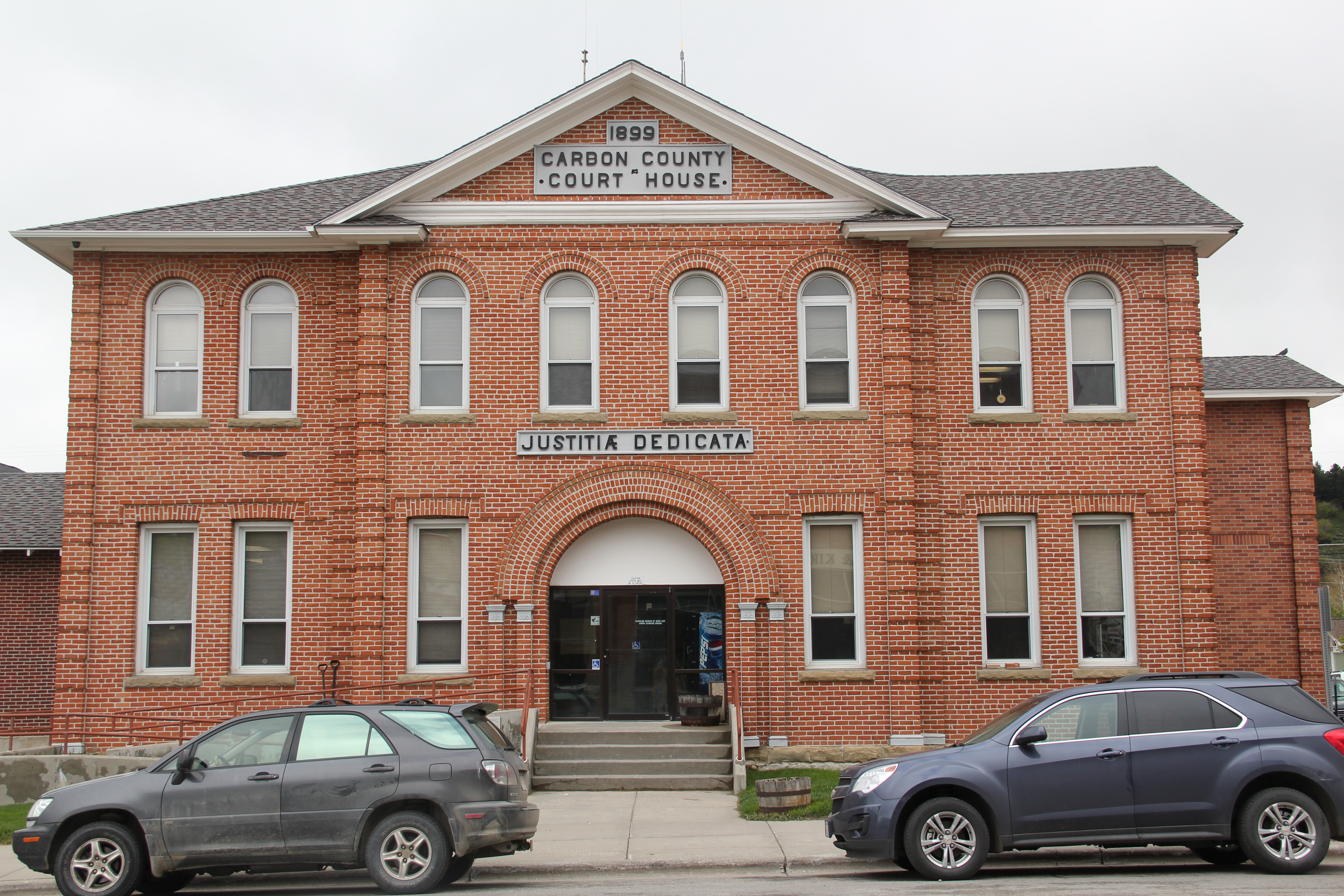
 When I last visited there in 2015 the combined route of U.S. 89 and 12, which passes in front of the courthouse and the center of town, was being rebuilt, giving the historic business district the look of a ghost town.

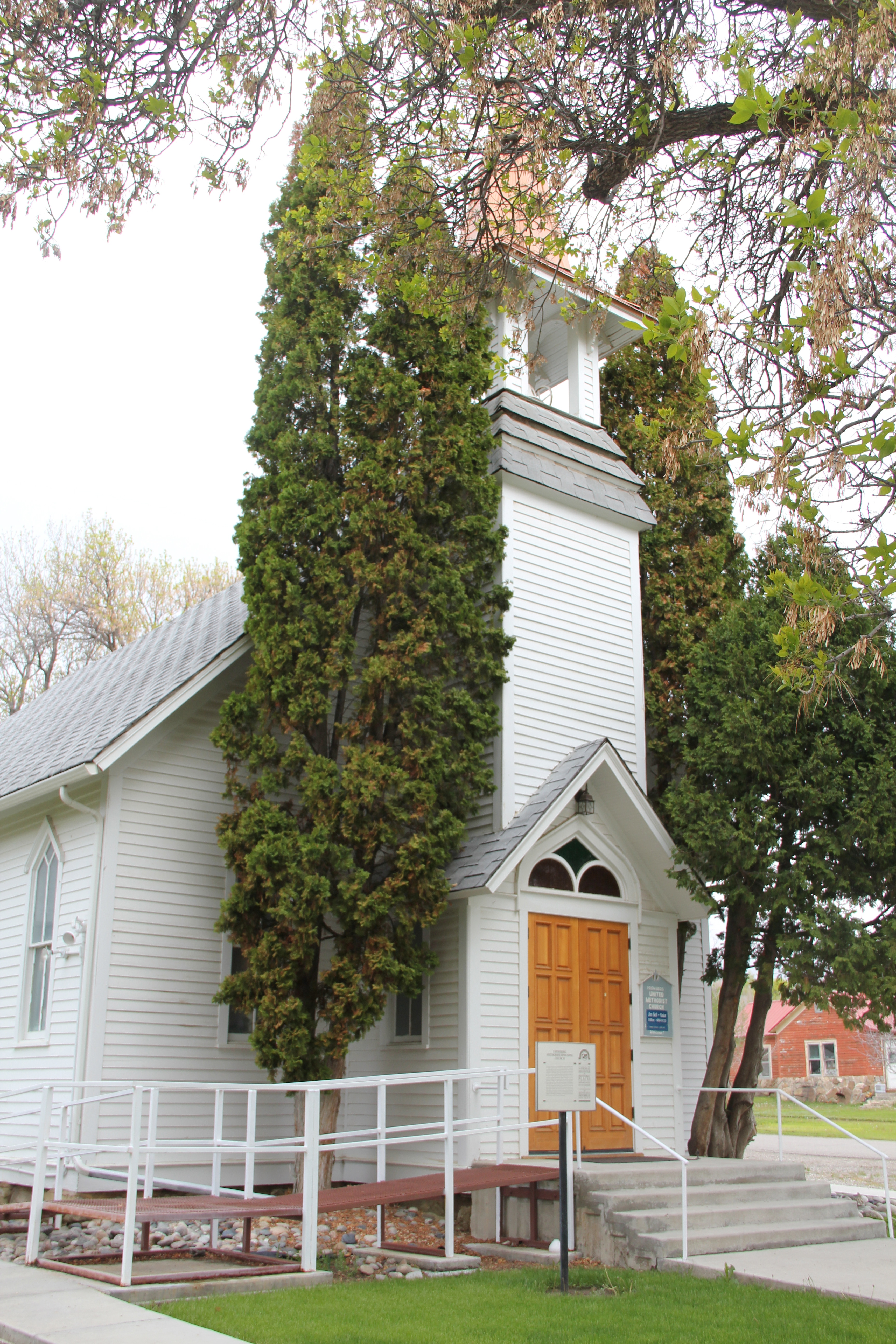
 U.S. Highway 89 continues south, crossing the historic corridor of the Milwaukee Road at Ringling, another Meagher County town discussed in an earlier post, marked by the landmark St. John’s Catholic Church.
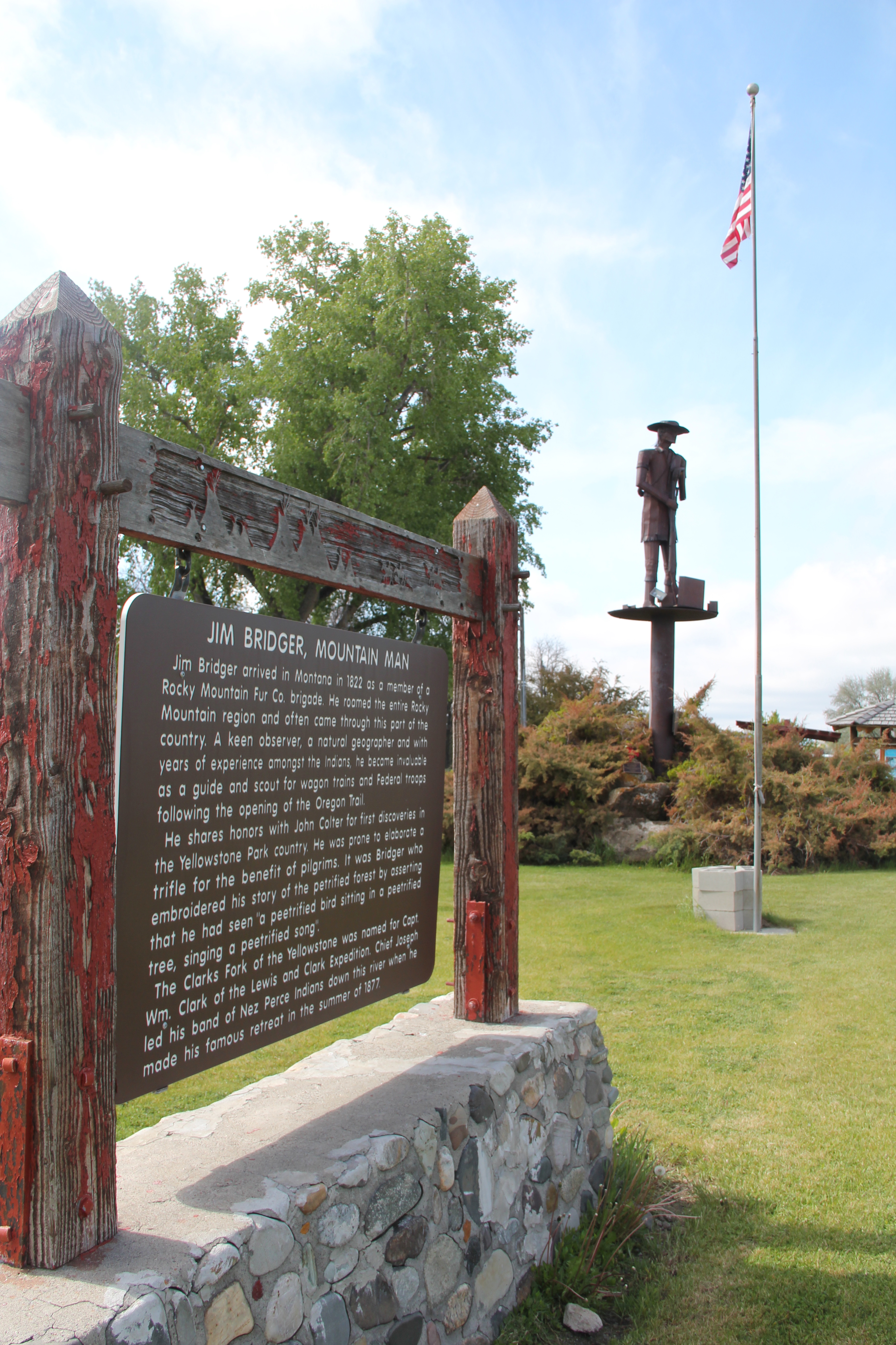
 Travelers continuing south soon find themselves in Park County, entering the Shields River Valley just north of Wilsall, where highway markers and monuments, like that for “Thunder Jack” (2006) by sculptor Gary Kerby, convey the significance of the place.
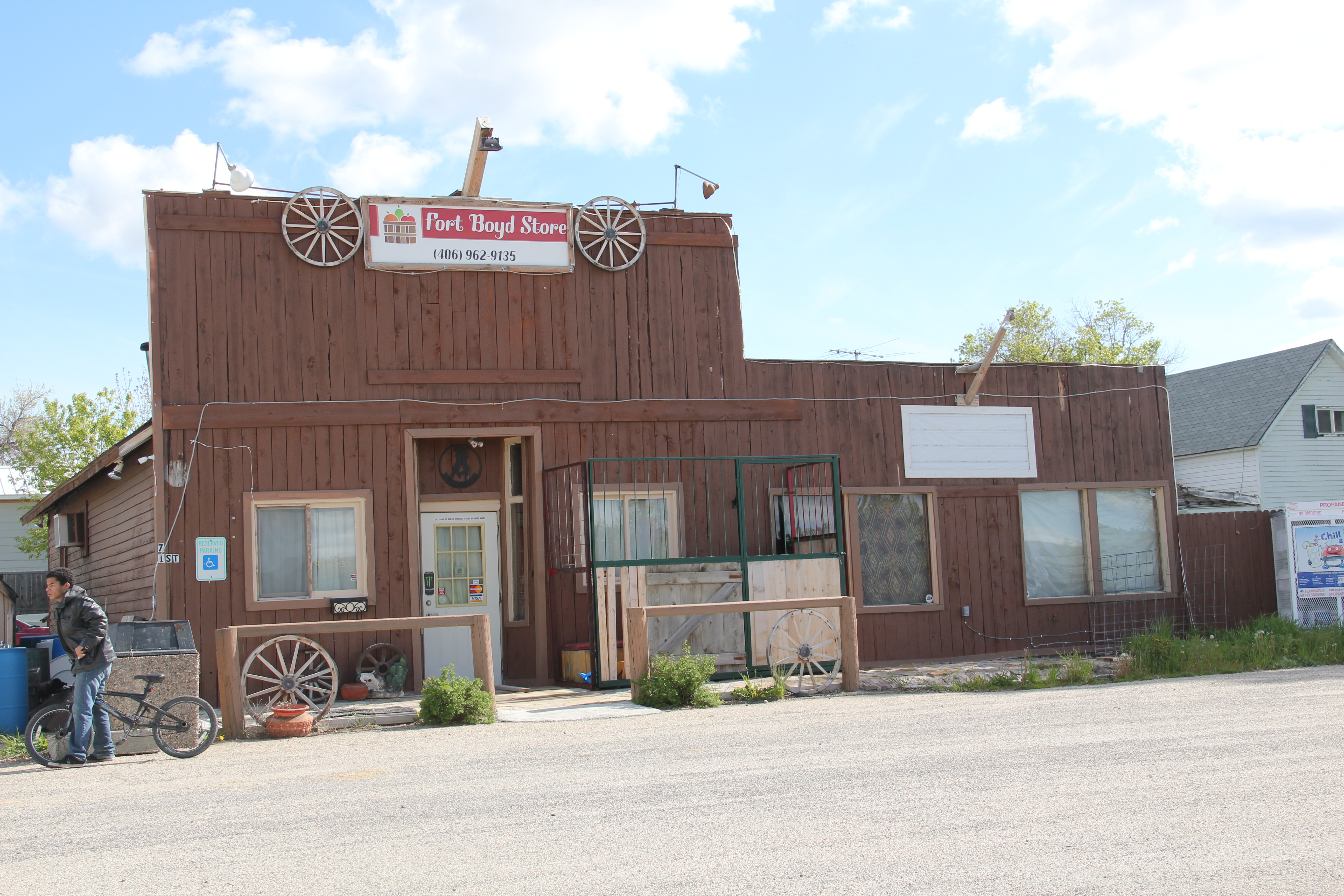
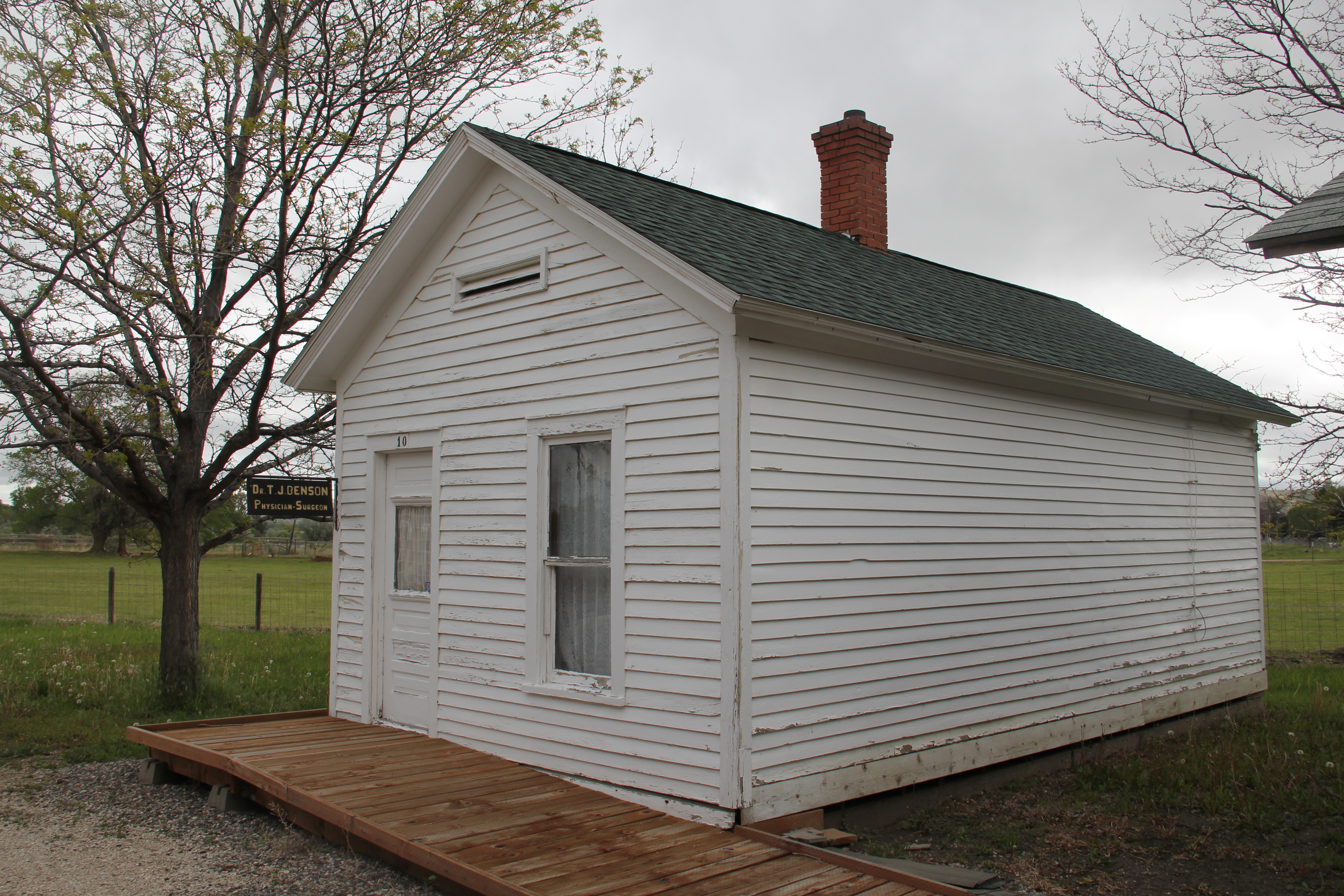
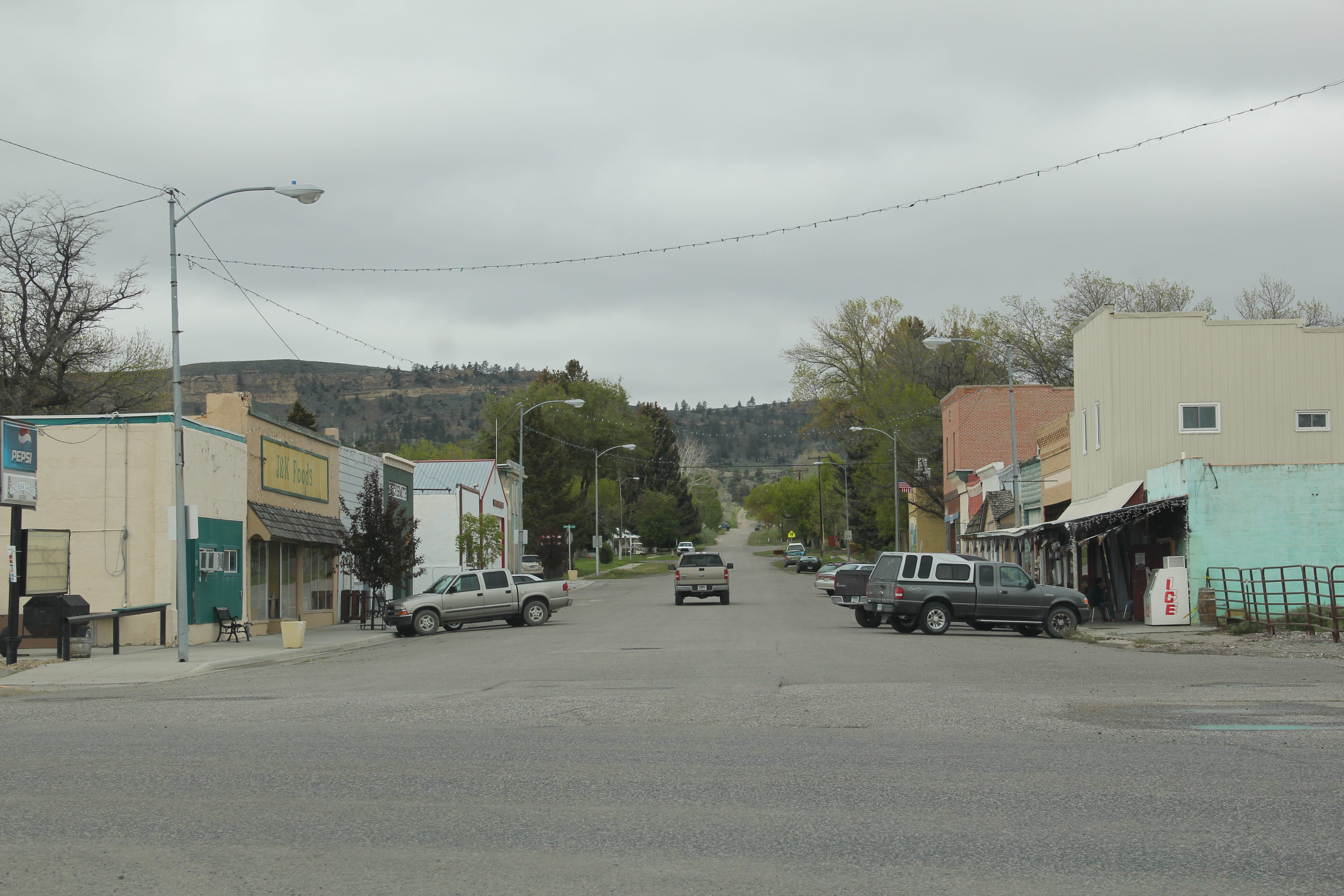
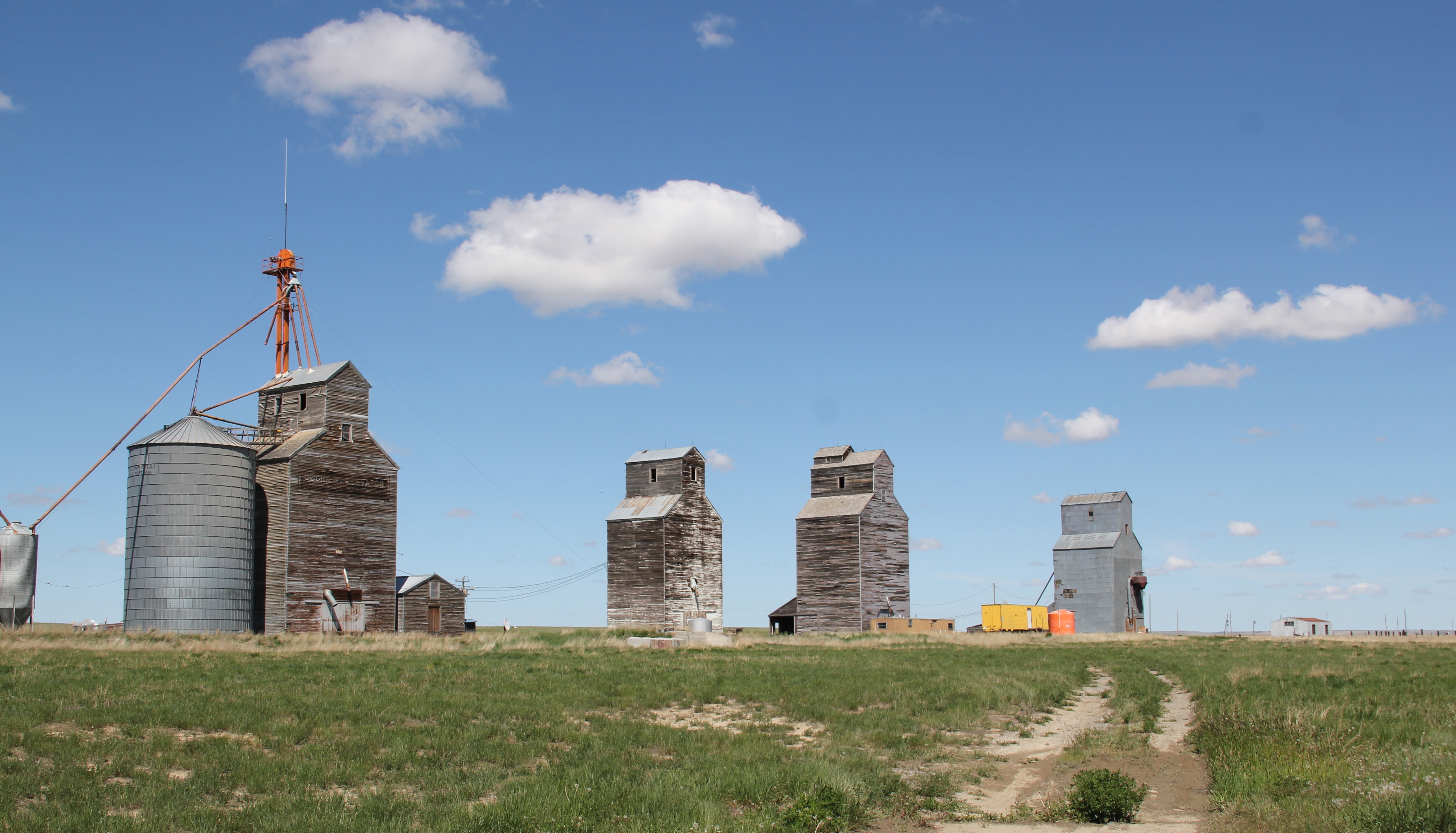
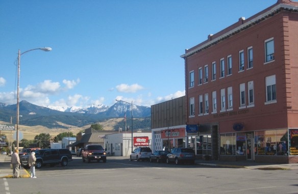
 Wilsall was not much a place 30 years ago, a small trade town on the edge of a Northern Pacific Railroad spur line, a past still recalled by the tall elevator and old railroad corridor.
 But the growing popularity of the Shields River Valley has led to a new boom in Walsall, with old banks converted into bars and old general stores


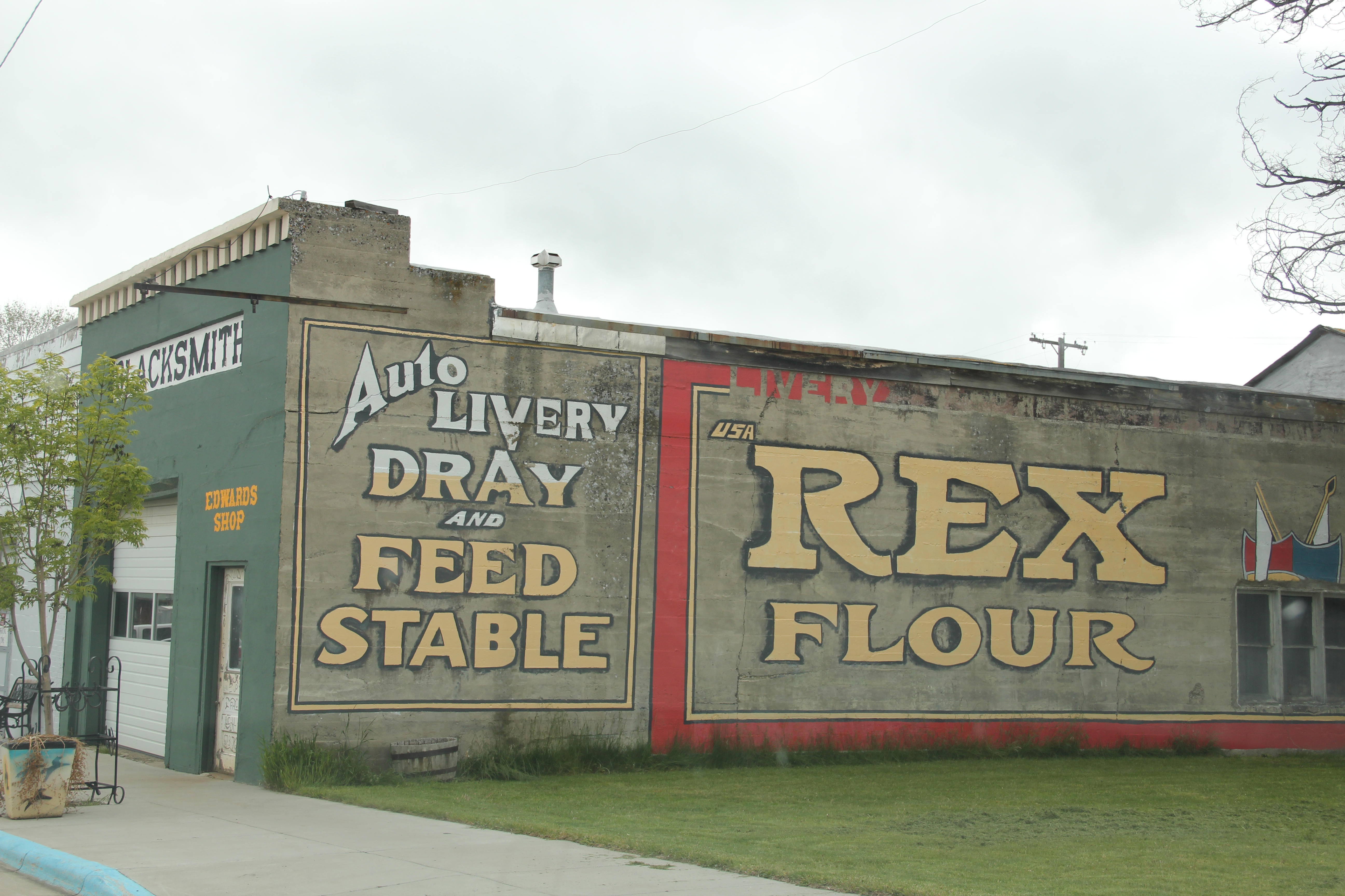
 Clyde Park Tavern is still the place to go for an adult beverage, or two. Historic grain elevators still serve local ranchers, marking the railroad line that defined the town’s landscape until the impact of the highway in the early 20th century.