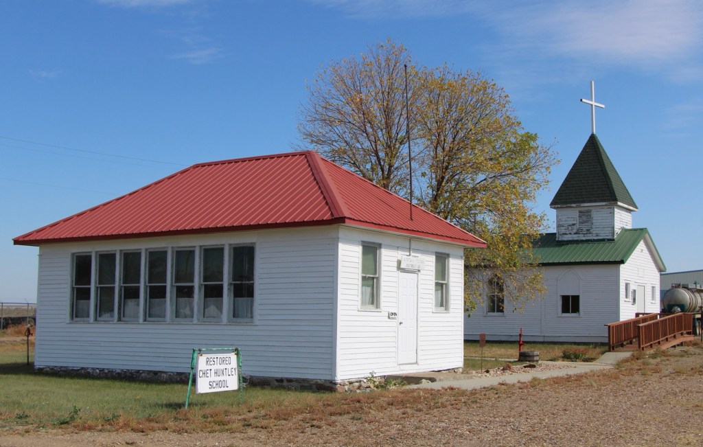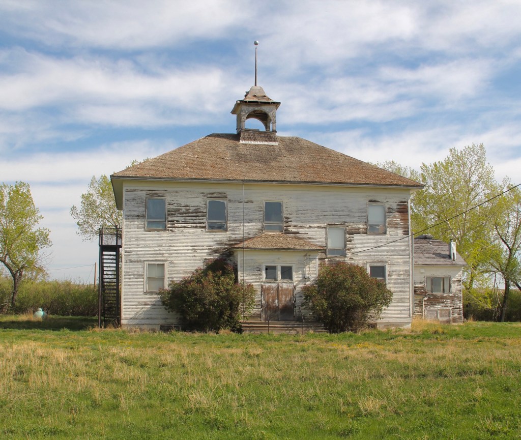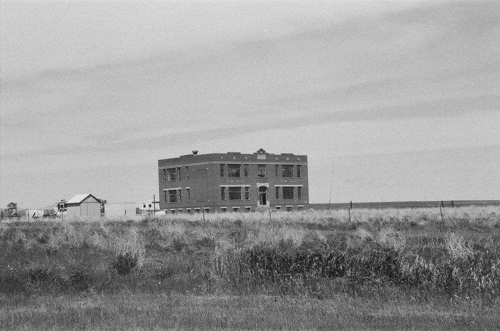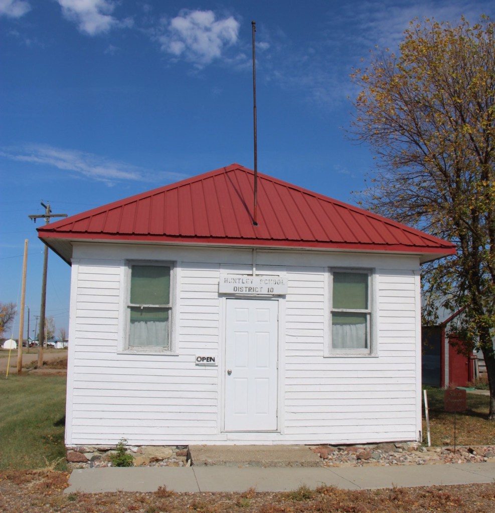
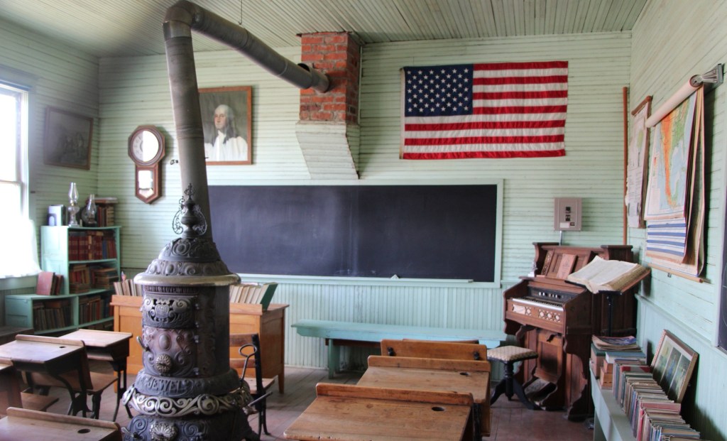
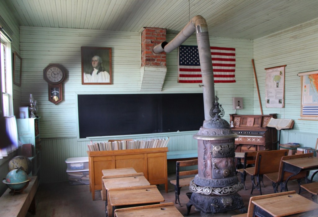
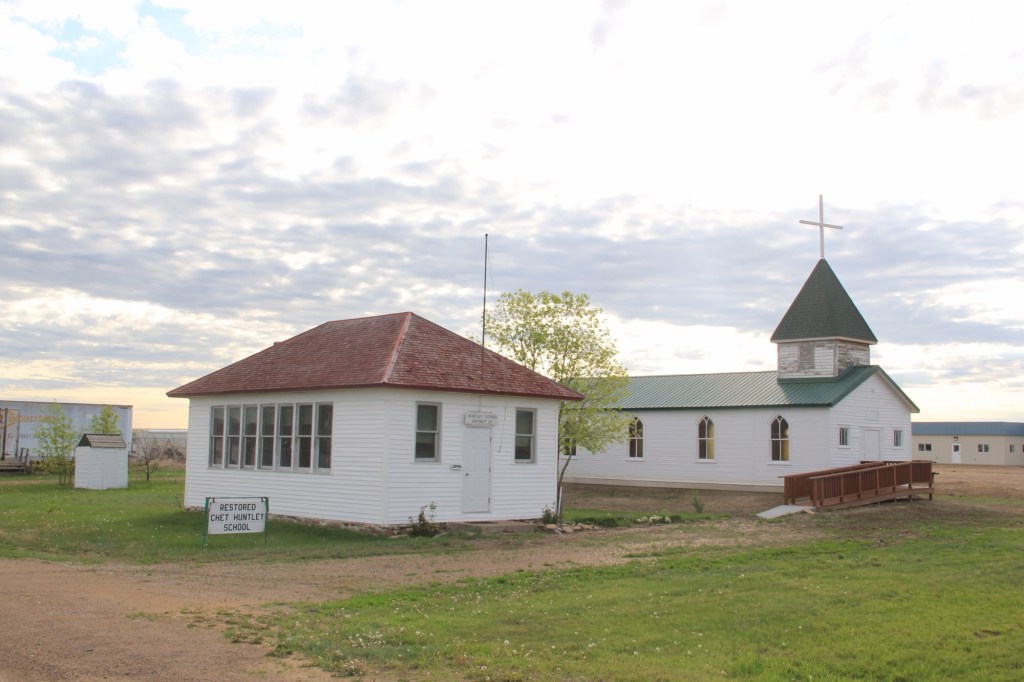
One of the oldest historic preservation projects along Montana’s U.S. Highway 2 route is at Saco. In 1961, the Saco Garden Club moved, restored, and interpreted the 1916 Huntley school, which once served homesteaders in Phillips County. Their efforts came five years before the landmark National Historic Preservation Act and the creation of the National Register of Historic Places.
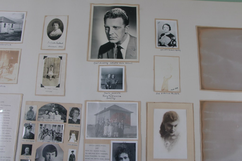
Why this school and why in 1961? The answer lay with one of the school’s primary students, Chet Huntley. His father had earlier donated the land for the school, thus it was given the name of Huntley. In 1961, however, Chet Huntley was a national news icon, part of NBC Network’s Huntley-Brinkley Report.
Tiny Saco had a direct connection to one of the most famous newscasters in America. The show, with Huntley reporting from New York City and David Brinkley reporting from D.C., began in 1956 and continued on air until 1970.
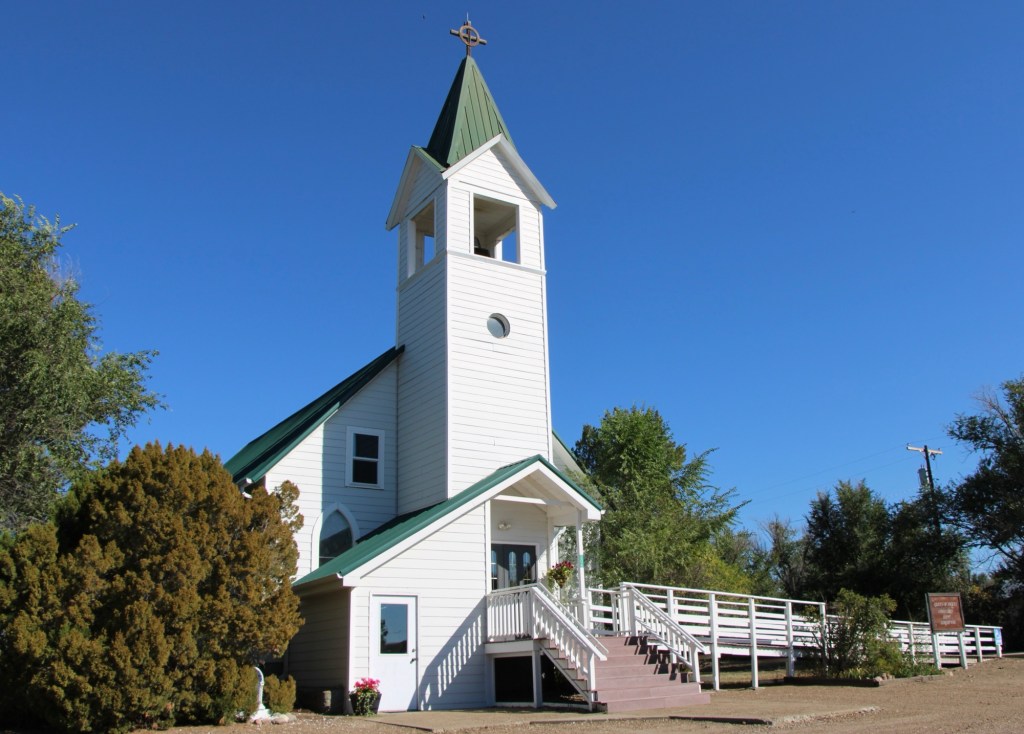
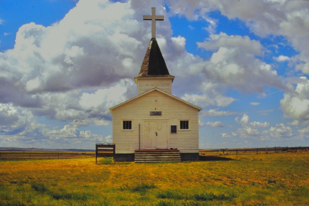
Sometime between 1988 and 2013, the Saco Garden Club added another historic building to their site. 1n 1988, the Immanuel Lutheran Church stood to the east, outside of Sleeping Buffalo Hot Springs (below).
By my next visit to this corner of the state, the building had been added to the Huntley site.
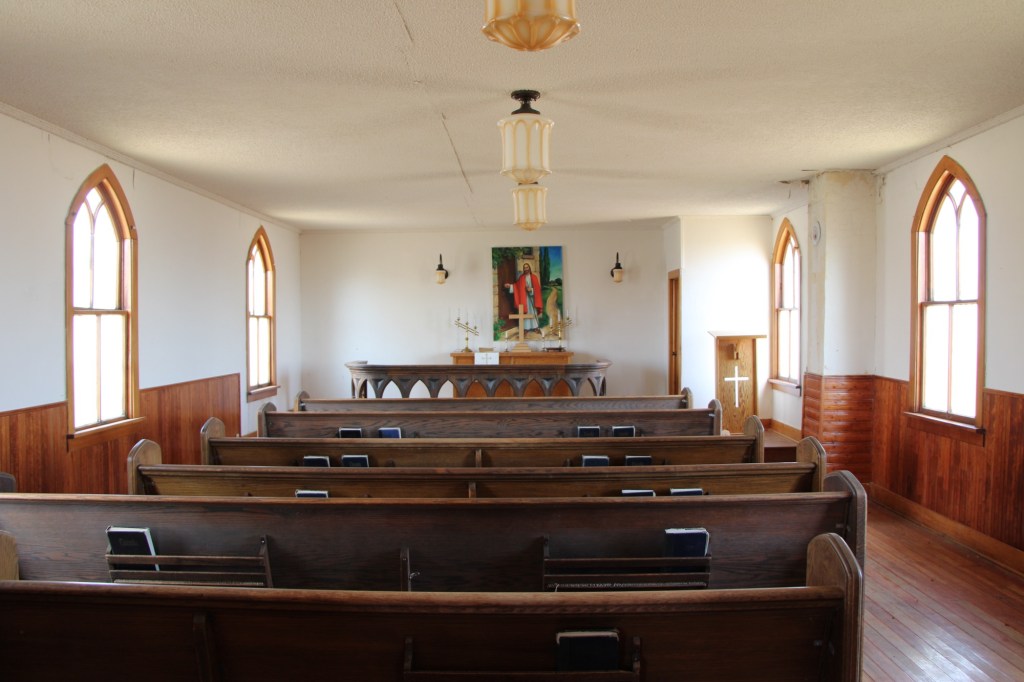
Like the school, the church is well preserved and maintained, particularly its compelling and beautiful interior.
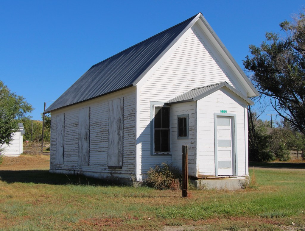
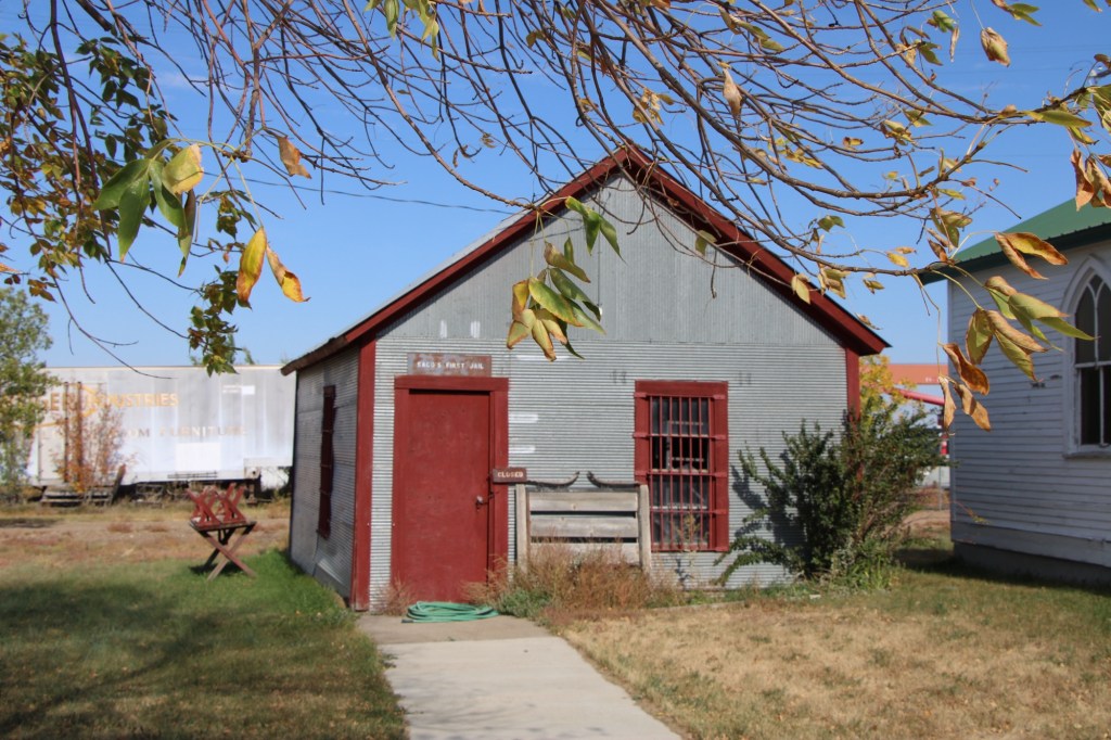
When I visited Saco again in the fall of 2025 I found a third historic building, the first Saco Jail, added to the site.
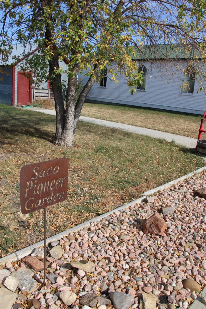
Plus the Garden Club had installed new landscaping and a sidewalk tying together the properties by the Saco Pioneer Garden.
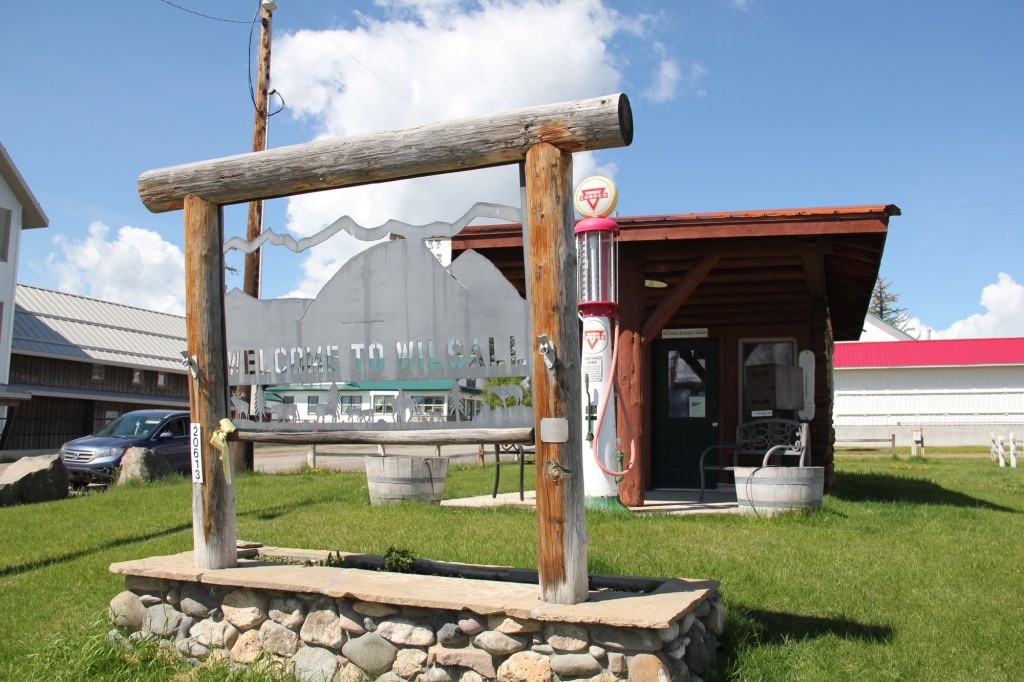
The efforts made by tiny rural communities across Montana to preserve their history and to share their stories never ceases to amaze. The Huntley School is one of the most impressive landmarks along the Hi-Line, and a reminder of the role of women in the state’s historic preservation traditions.