The thirty years between 1925 and 1955 were among the worst of times for residents of Miles City, but these were years where the town created and gained new institutions that would serve them well for the rest of the century. Population growth stalled, then sharply declined. 1930 census counted 7,175, a drop of over 750 from 1920. And the number only ticked up slightly during the 1930s, gaining less than 150 new residents.

In the late 1920s, stockgrowers worked with local boosters to establish the Eastern Montana Fairgrounds, and over the next twenty years, they added new buildings and features to transform the place into a historic district that showcases what fairgrounds mean to rural Montana communities. Stockgrowers also met with local railroad officials to devise a plan to reinvigorate the grazing lands south of Miles City, properties that had been overgrazed since there were no restrictions on grazing on public lands. The group established a concept that called for formal leasing of public lands for grazing in return for private investment and better conservation practices. Congress agreed that the concept was worth an experiment and in 1928 it established by law the Mizpah-Pumpkin Creek Grazing District. As Depression stalked the land in the early 1930s, Congress took the Custer County experiment and transformed it into a national law that impacted the entire West: the Taylor Grazing Act.

The Taylor Grazing Act combined with other New Deal agricultural programs to call for the slaughter of thousands of cattle and horses in the region. That, combined with the end of the open range, devastated the cowboy culture that had so defined Custer County and left everyone in a funk.
At least one bright spot lit up Main Street. In 1936 the Montana Theatre, a splendid Art Deco building, opened, and the movies provided one important escape from the hard times.


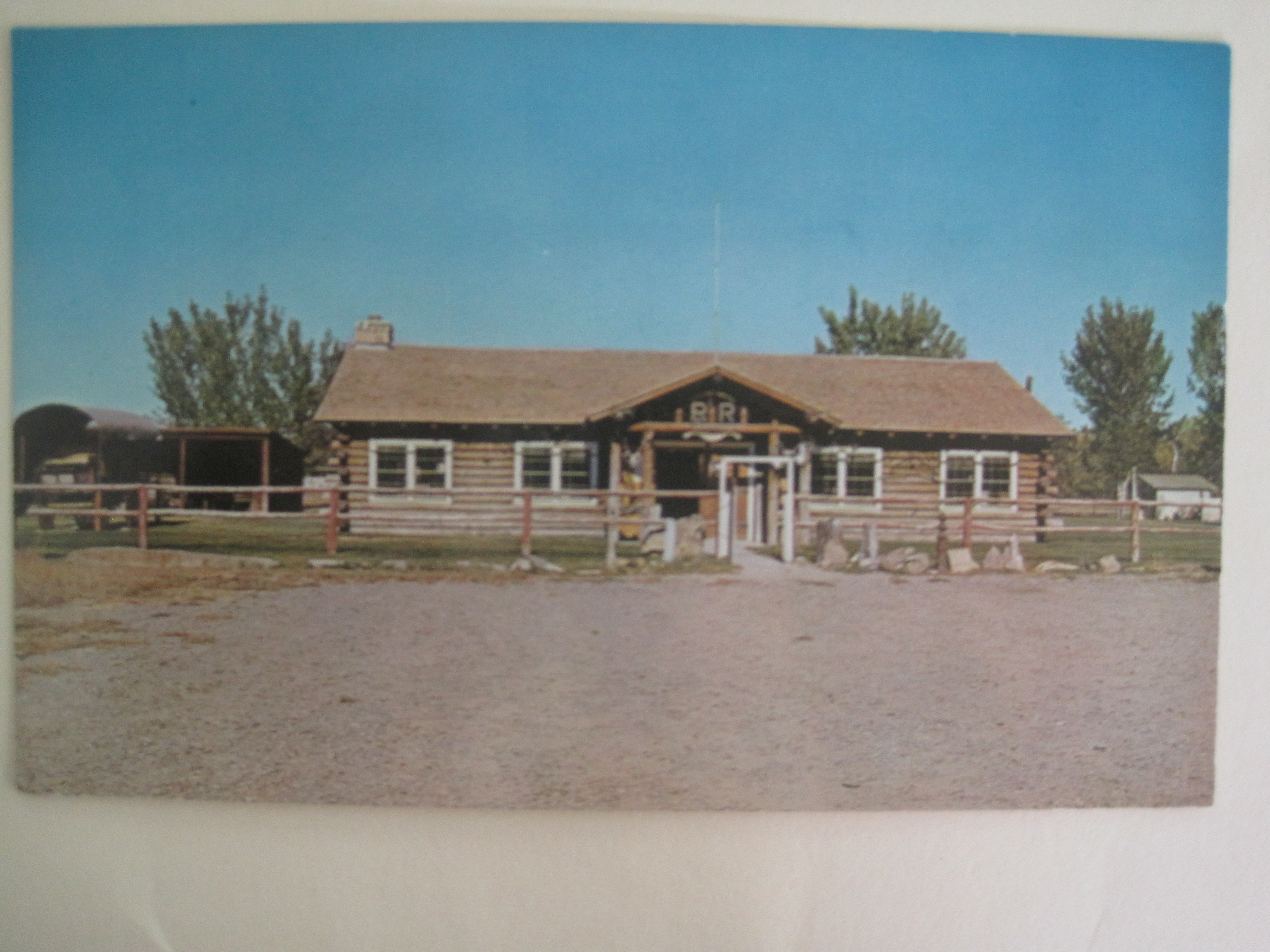
Postcard of Range Riders Museum c. 1960
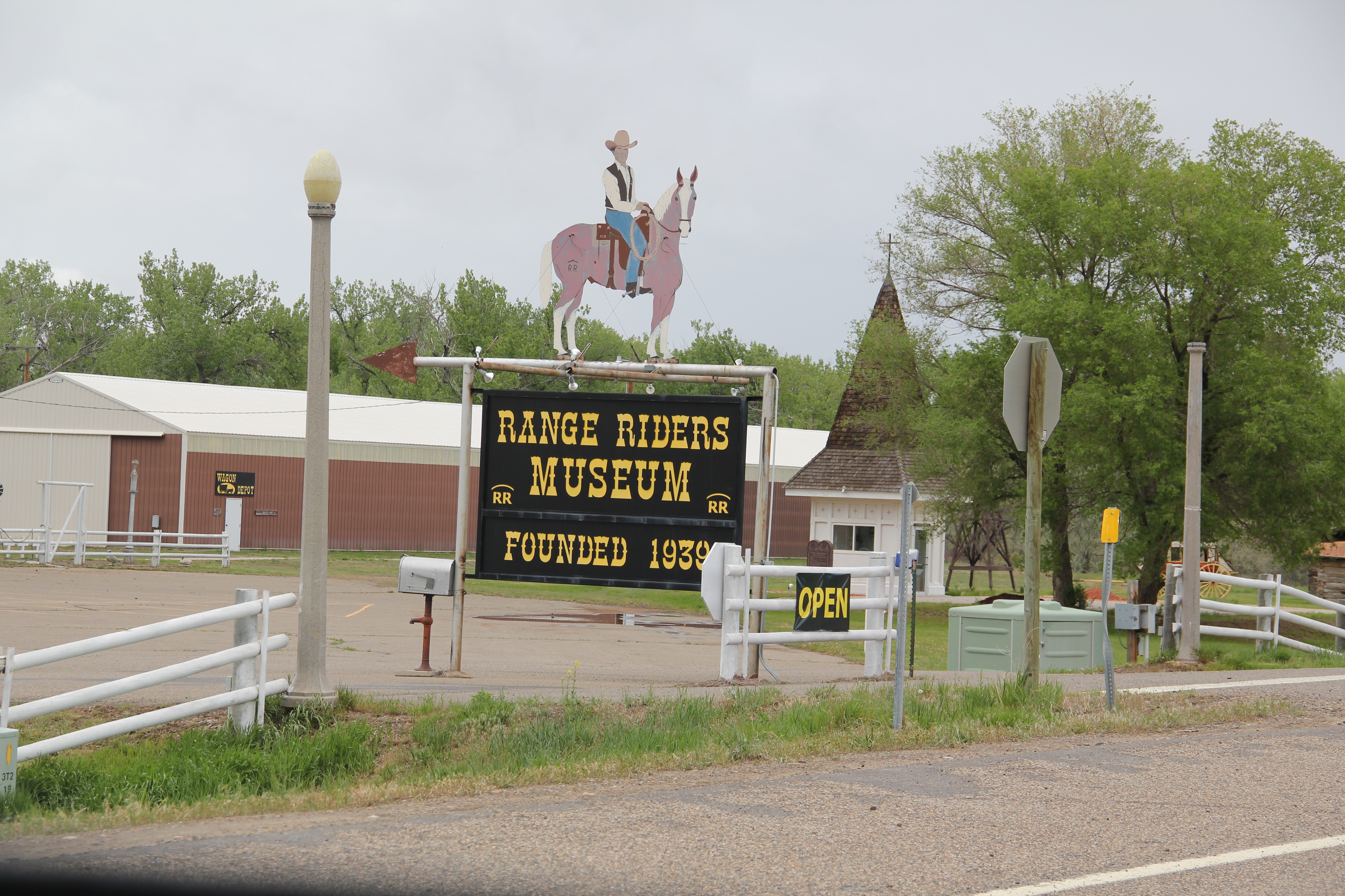
Another local reaction came in 1939 when residents met and celebrated the cowboys who came in the early years of settlement and created the culture that everyone hated to see pass. A year later they gathered in Miles City again and decided to raise money for a “cowboy’s memorial building,” which when completed in 1942 became the Range Riders Museum. As a history of the museum concludes, the building “serves two other principal purposes: A meeting place for cowboys and a headquarters for the annual reunion. The members were satisfied that it was a fitting memorial to an industry in which the raising and furnishing of livestock needed to be preserved for future generations.”

Range Riders Museum, 2013
The museum has steadily expanded ever since, with the addition of new exhibition space and adding other historic buildings from the county to the property.
 Another community institution, Riverside Park, received a new ballpark, fearing beautiful stone masonry, known now as Connors Stadium, in 1940. This New Deal project was just one of many across Montana in the late 1930s and 1940s, designed to improve public recreation and school athletics.


New Deal support also combined with local funding to create the Pumping Station Park at the nearby city waterworks plant. Custer County now had re-energized public spaces.

Northeast of Miles City, and north of the Yellowstone River, federal agencies created a huge reformed landscape, the Kinsey Flats project (1938-1941), which was a double-layered landscape of the New Deal. Here, federal Resettlement Administration officials relocated formerly displaced ranchers—many of whom the New Deal had dislocated earlier in the decade during its massive purchase of marginal lands throughout the region—to a new planned community north of Miles City. One of the officials involved with both projects, David G. Rivenes of Miles City, recalled: “I know what a terrible experience it was for folks from Fallon County, East Custer County, and Prairie County, to pull up stakes, leave their life-long friends and relatives, the land that some had even homesteaded—and move into strange surroundings and convert to irrigation farming.”
Federal funding also bettered educational opportunities. The National Youth Administration supported not only the high school but also expanding its offerings to create the Custer County Junior College. During World War II, federal funding supported civil pilot training at the college, which at that time held its classes at the high school. In 1957, it moved classes to the historic Milwaukee Road depot.

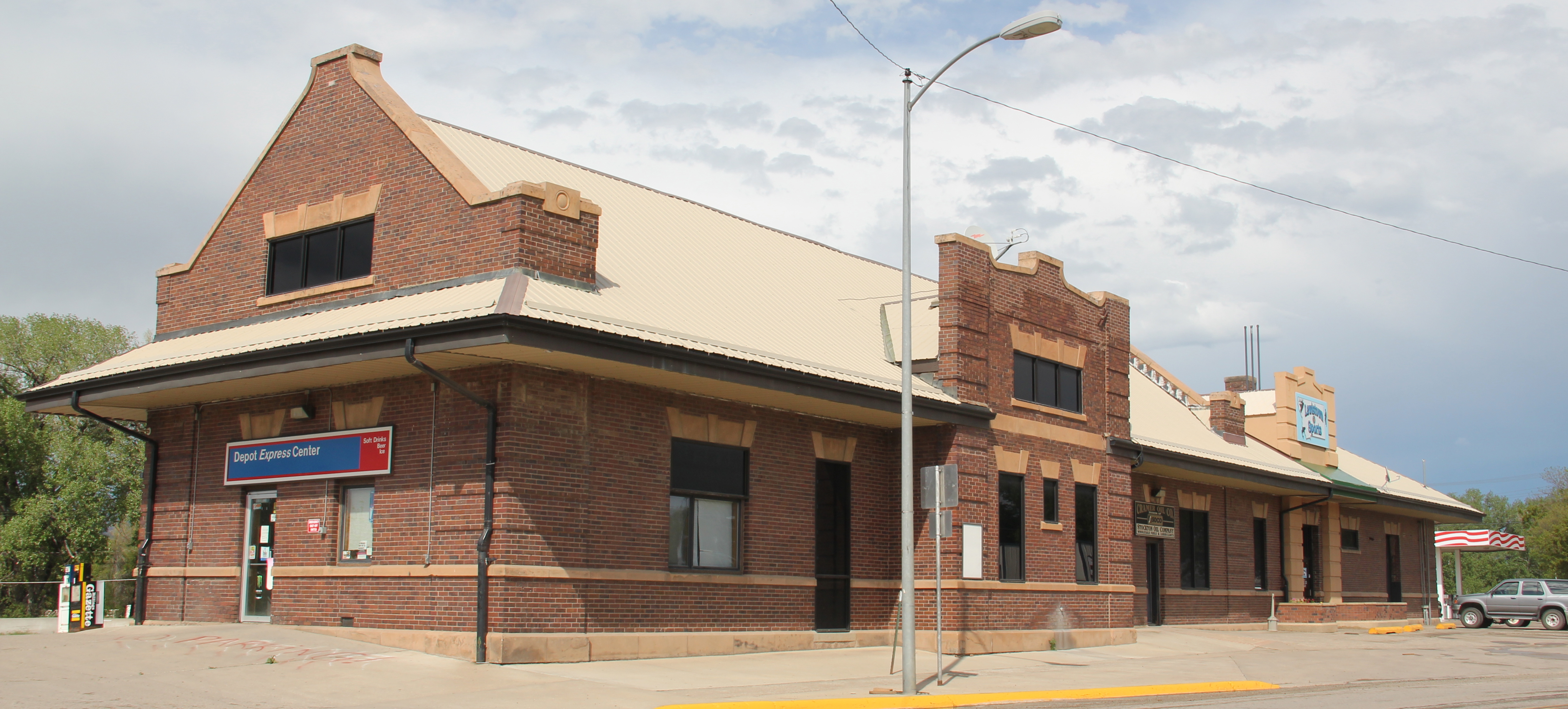
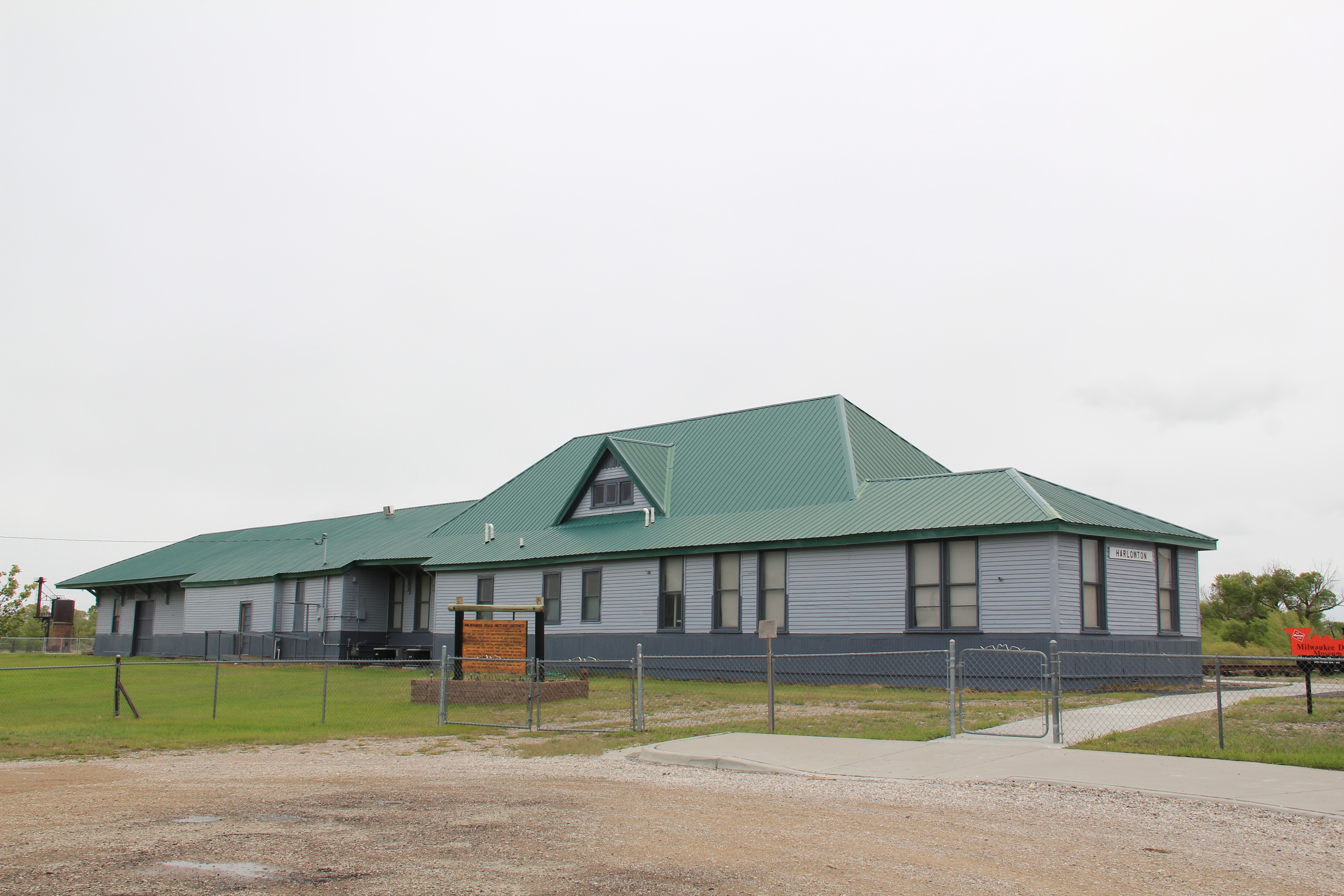
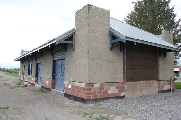
Milwaukee Road Depot, Miles City
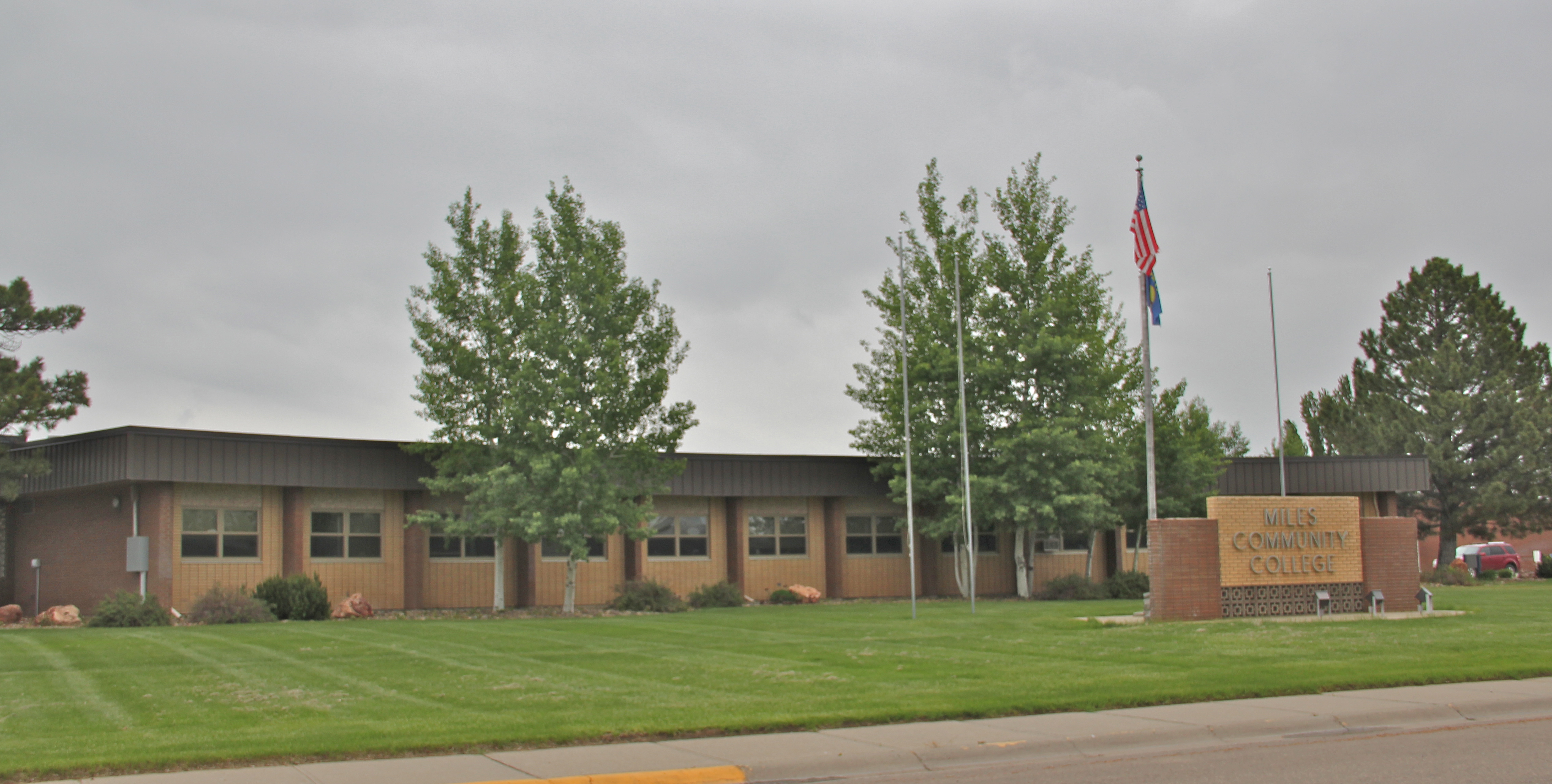
In 1966 the college changed its name to Miles Community College and began the process of relocating to its present campus, near the VA hospital complex. The first junior college in the region continues to shape Miles City today.

Miles Community College, c. 1967
These different public institutions played a crucial role in Miles City’s decade of recovery from 1945 to 1960 as population grew to 9243 in 1950 and almost 10,000 by 1960. Federal funding was important but local support was critical. County government, for example, added a Art Deco Modern courthouse, designed by the firm of J.G. Link of Billings, in 1948-1949.

Then residents and local governments pooled resources to donate almost $30,00 to purchase prime east side property to attract the construction of a modern Veterans Administration hospital. Groundbreaking took place in October 1948 and the hospital admitted its first patients on August 1, 1951.

The architect was Great Falls native, Angus V. McIver, working in collaboration with Cushing and Terrell of Billings. McIver had been a prominent architect in Great Falls and Billings for a generation, along with a distinguished career with the military and other federal agencies. Shortly after receiving this commission, McIver was elected a Fellow of the American Institute of Architects.
As contractors were building the 100-bed hospital, local ranchers and civic leaders launched, in 1950, the annual Miles City Bucking Horse Sale, one of the premier cultural events in eastern Montana every May. The sale uses both the Eastern Montana Fairgrounds, the Range Riders Museum, and Riverside Park–among other venues–to pay homage to the city’s cowboy roots but also the persistence of stockraising in this region.


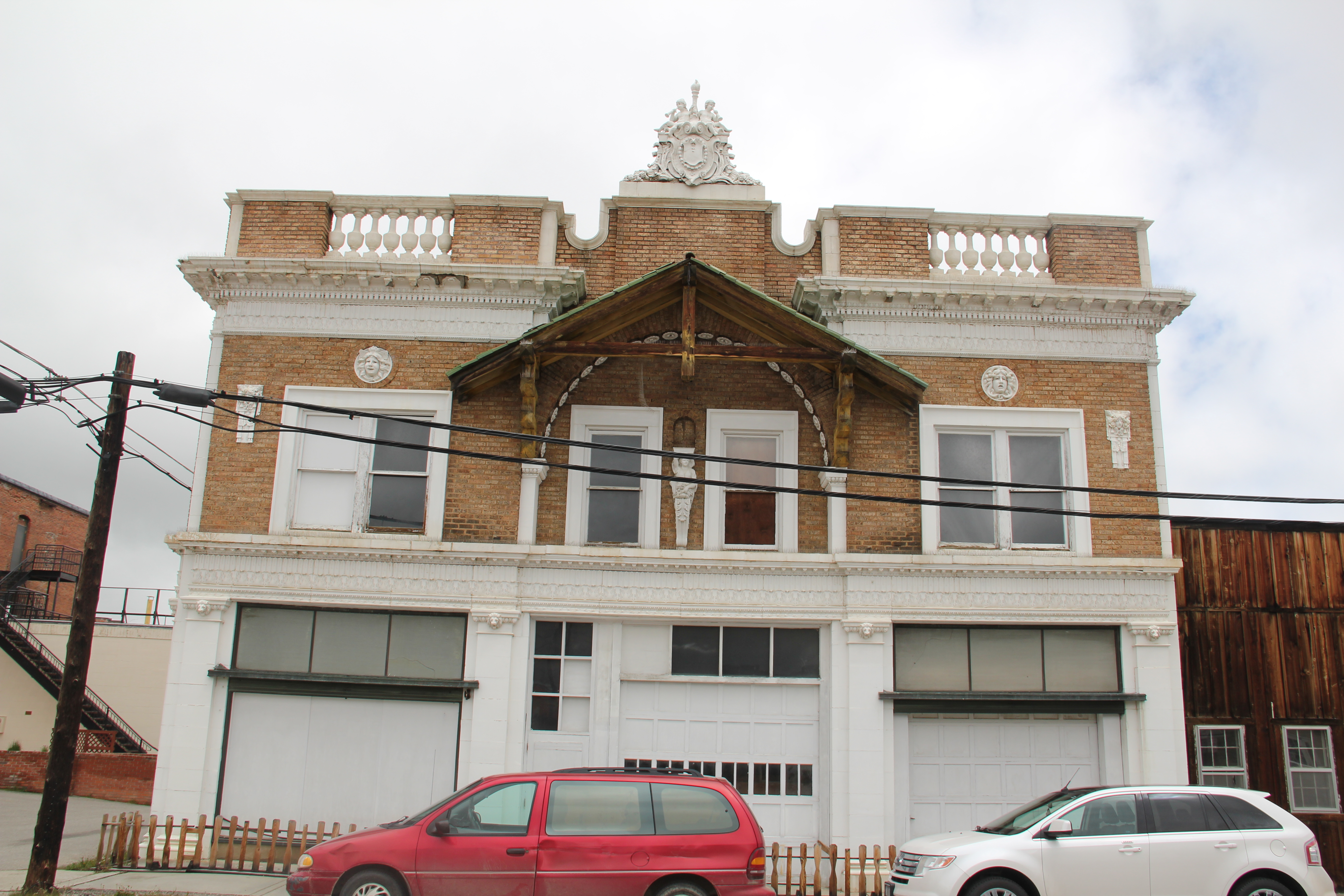
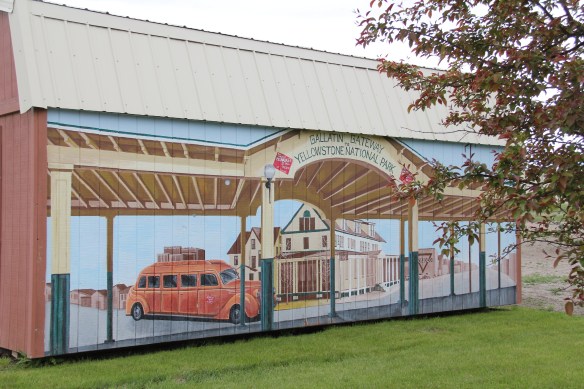
 Three Forks, Montana, is unique in how competing railroads shaped this one small town between the 2008 and 2010. The last post discussed how the Milwaukee Road came first, and its landmark Sacajawea Inn stands at the north end of the town’s main street. On the east side–see the Google Map below–became the domain of the Northern Pacific Railroad and its spur line to the copper kingdom of Butte
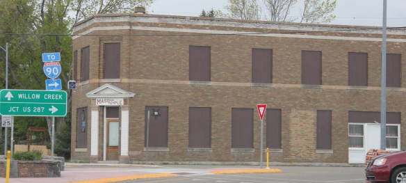


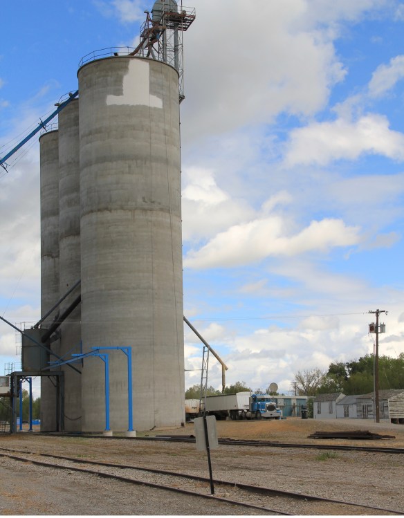
 Company. In 1914 Charles Botcher bought the plant, renamed it the Ideal Cement Company and kept it in business under that name until the 1980s.


 One of my favorite county seats is Choteau, where U.S. Highways 89 and 287 meet. Both of those roads were and are among my favorite to take in the state, and Choteau I quickly found had one of my favorite local dives the Wagon Wheel. Back in the day, however, I did not appreciate how the town’s history and built environment was shaped by the Sun River Irrigation project and the overall growth in the county during the first two decades of the 20th century and later a second boom in the 1940s.
 Choteau has a different look than most towns from this era of Montana history. The centerpiece of the towns plan is not a railroad depot but the magnificent Teton County Courthouse (1906), which occupies a spot where the two federal highways junction. Designed by architects Joseph B. Gibson and George H. Shanley, the National Register-listed courthouse is made of locally quarried stone in a late interpretation of Richardsonian Romanesque style, similar to, but to a much lesser scale and detail, than H. H. Richardson’s own Allegheny County Courthouse (c. 1886) in Pittsburgh.

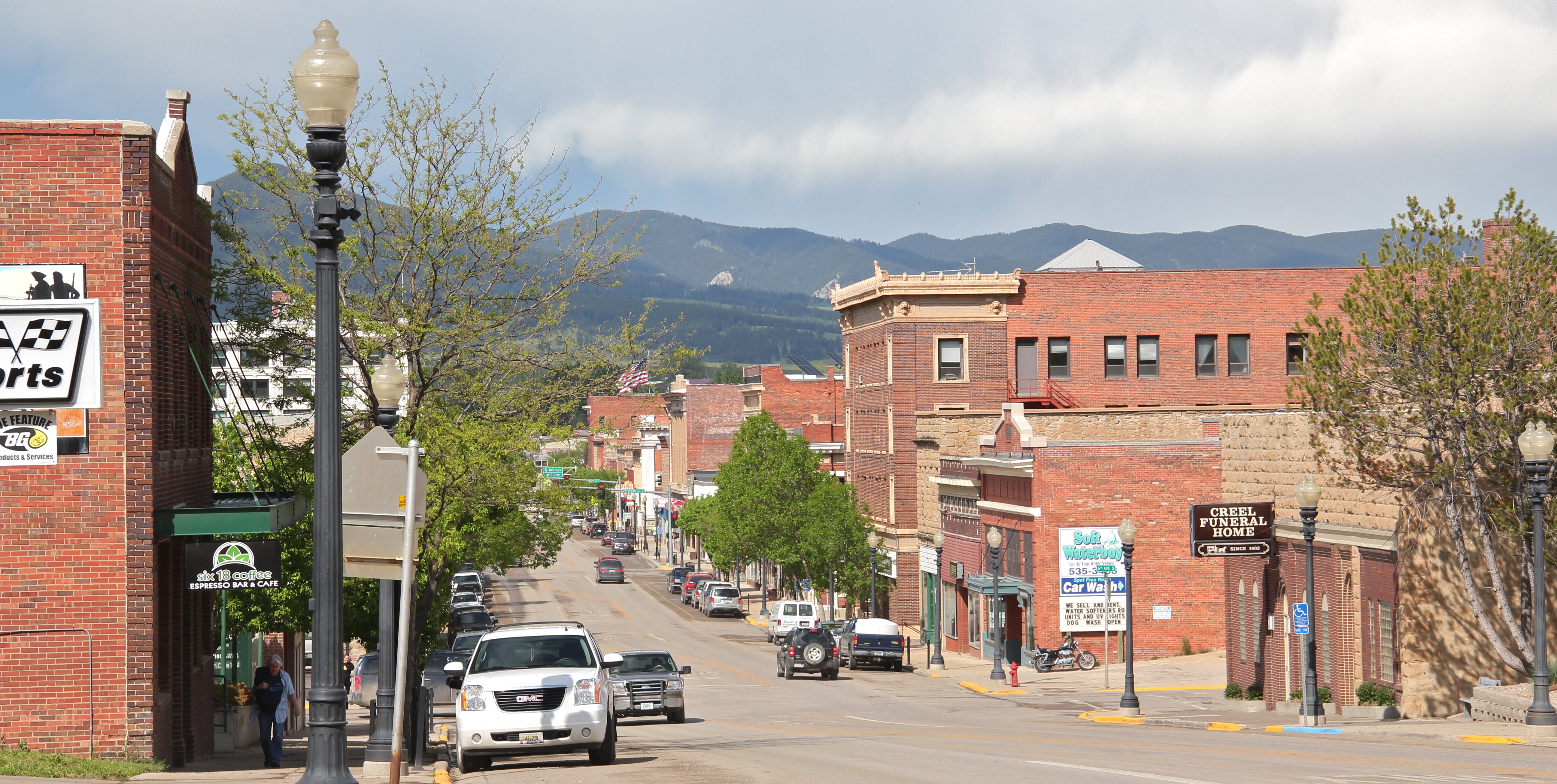
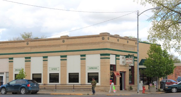 This historic neoclassical-styled bank building is now home to a coffee shop but other commercial buildings have changed very little, except for the mix of retail business. This is not a dying business district but one with a good bit of jump, of vitality.


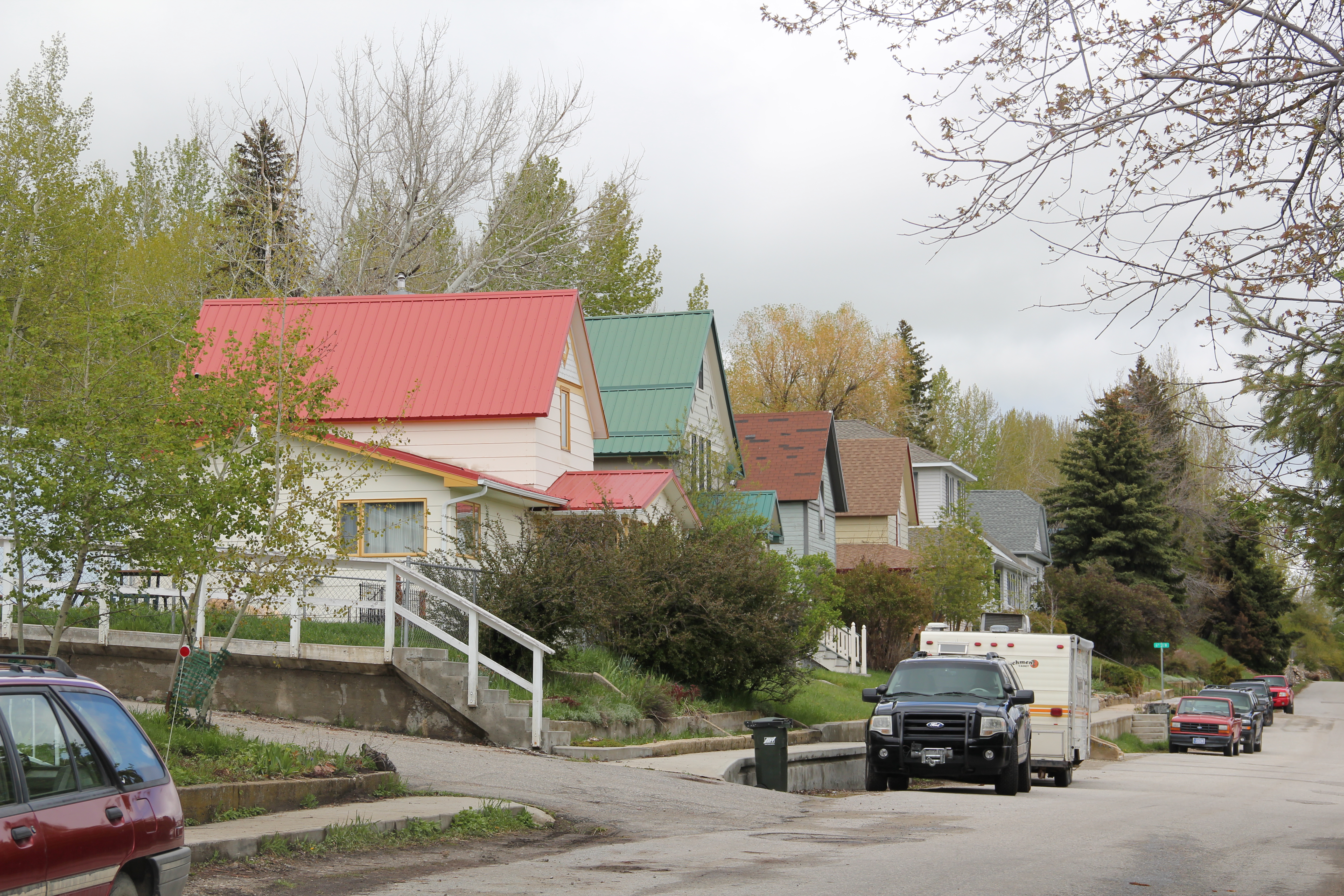
 where the historic Bella Vista Motel–a perfect example of a 1950s motel with separate units like tiny Ranch-styled houses–has given way to a c. 2015 conversion into apartments.