The irrigation ditch at Hesper Ranch, where the irrigated empire of eastern Montana began in the late 19th century.
Billings, due to a young energetic staff at the city’s major history museum, the Western Heritage Center, gave me my first opportunities to learn and embrace the amazing landscape of Montana. In 1982 the museum was finding its way; it was not the community institution that it has become some 30 plus years later. Board members in 1982 were

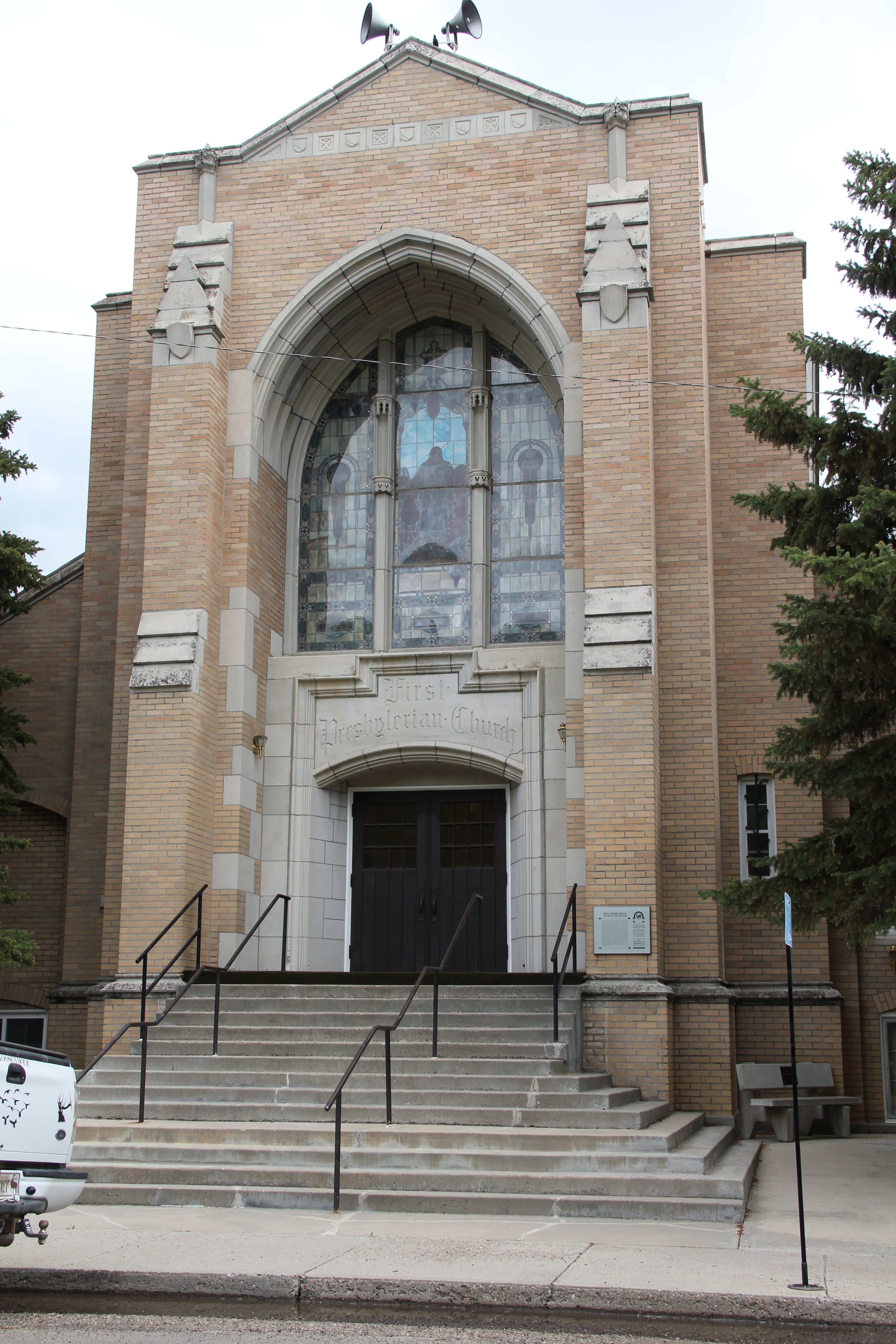
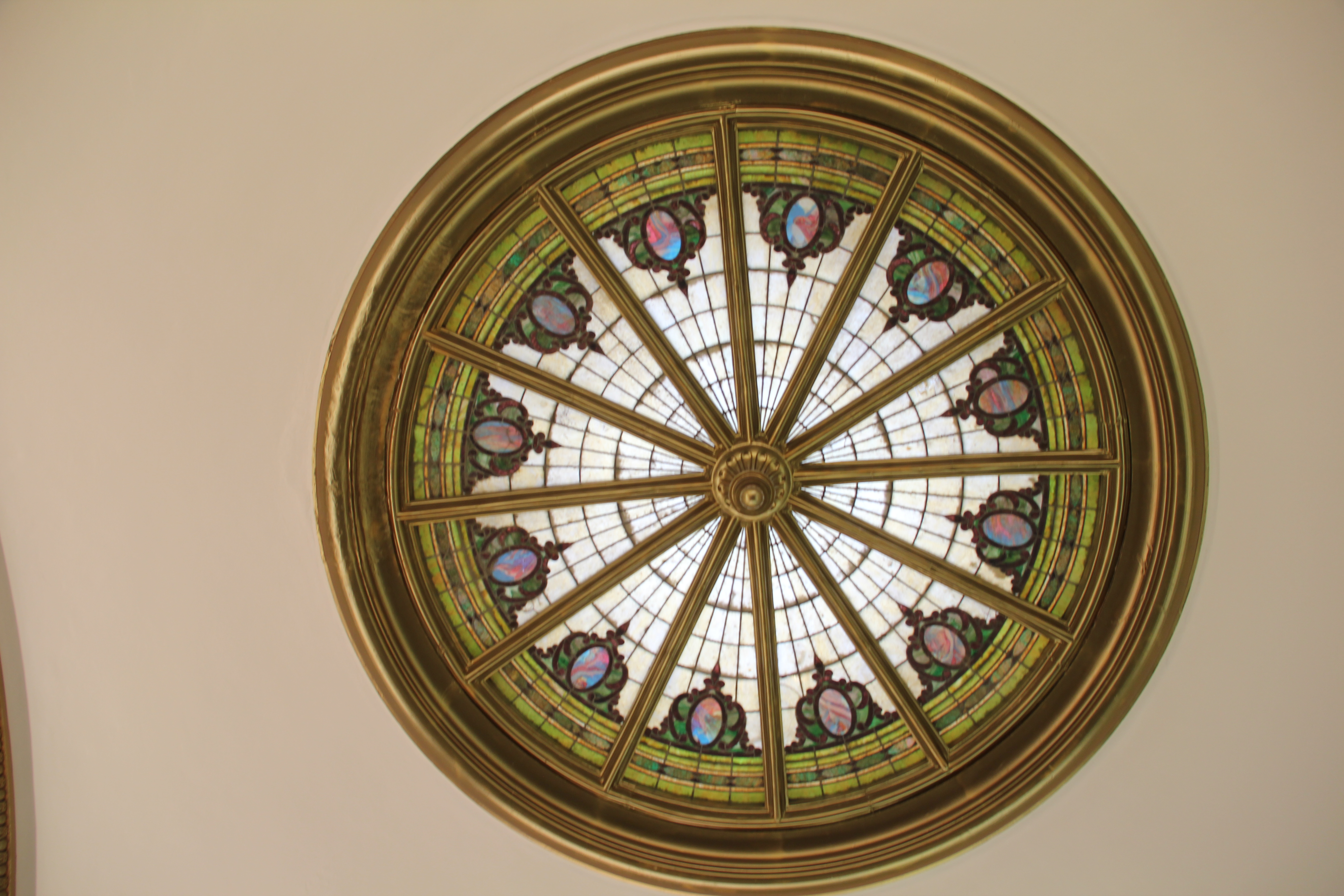
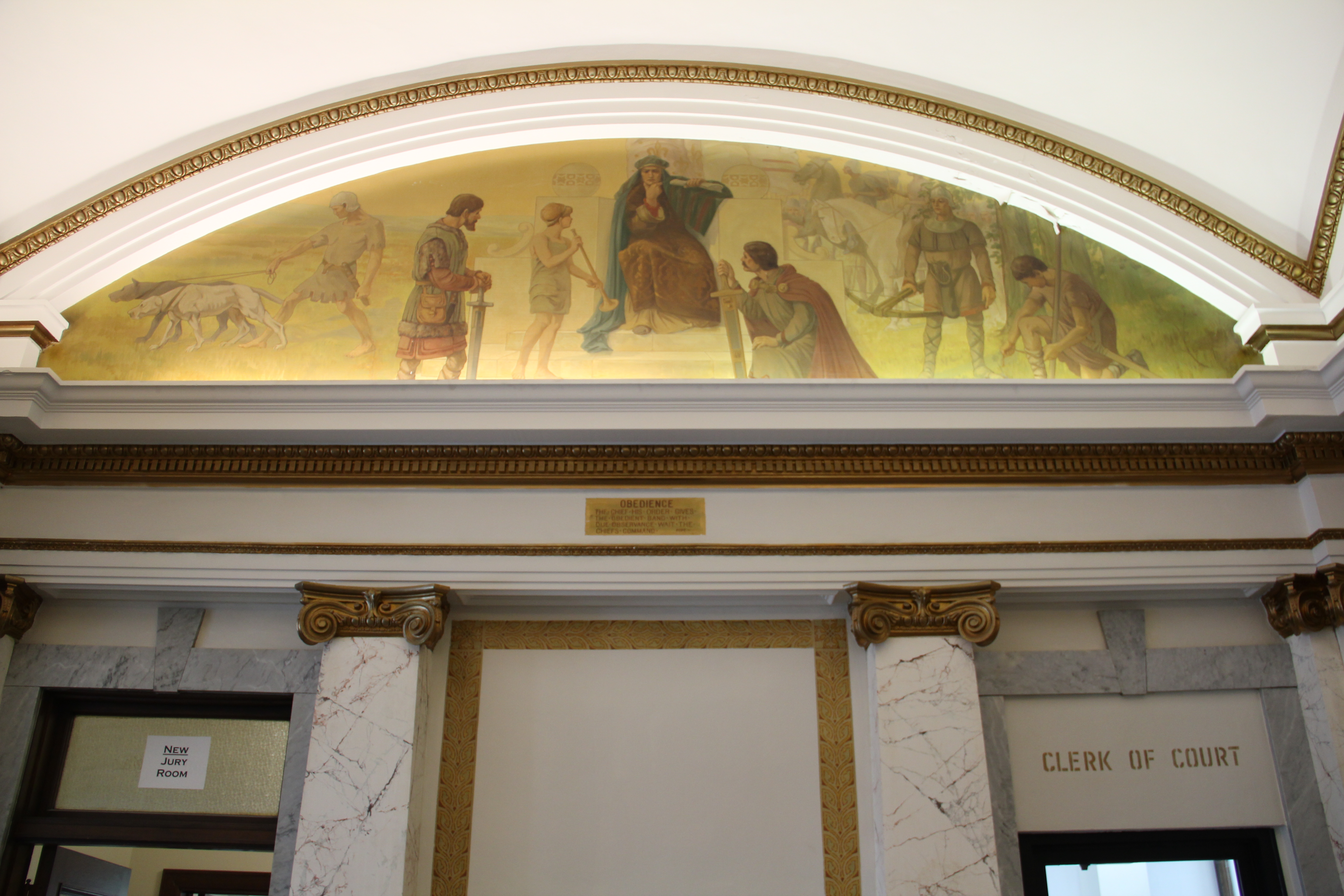
Western Heritage Center (the historic Parmly Billings Library), Billings, in 2006
interested in possibly recreating the old river village of Coulson, of which not a trace was left. I explored the issue, recommended no, and then suggested that actually the founding and development of the town was a fascinating story–with a cast of characters. Well, only a few people (Lynda Moss the education director then and David Carroll the exhibit curator) were fascinated with what I found, but I was a convert, and ever since I have been exploring the Midland Empire of Billings and Yellowstone County.

The Big Ditch, at Eastern Montana College (now MSU Billings)
Irrigation, those man-made slivers of life that slice through eastern Montana, was one important key to the story. When Frederick Billings, the president of the Northern Pacific Railroad, helped to established the “town on paper” called Billings in 1882, he soon discovered that while there was coal in the Bull Mountains to the north there was little land worth his salt for agricultural development, and Billings was nothing if not an energetic, progressive farmer back at his home in Vermont.

The city’s centennial statue of Frederick Billings, which stood by a parking garage when I began my Billings history work in the 1980s. Due to the good efforts of Lynda Moss and others, it was appropriately moved to the grounds of the historic Parmly Billings Library (Western Heritage Center) over a decade later.
He counted on Benjamin Shuart, the local Congregational minister (who was supported by his wife Julia Billings) to be his man on the ground, checking into the agricultural potential. Everyone understood that only water would make the ground bloom, so the construction of the Big Ditch began. It ran through Shuart’s property he managed for the Billings family,

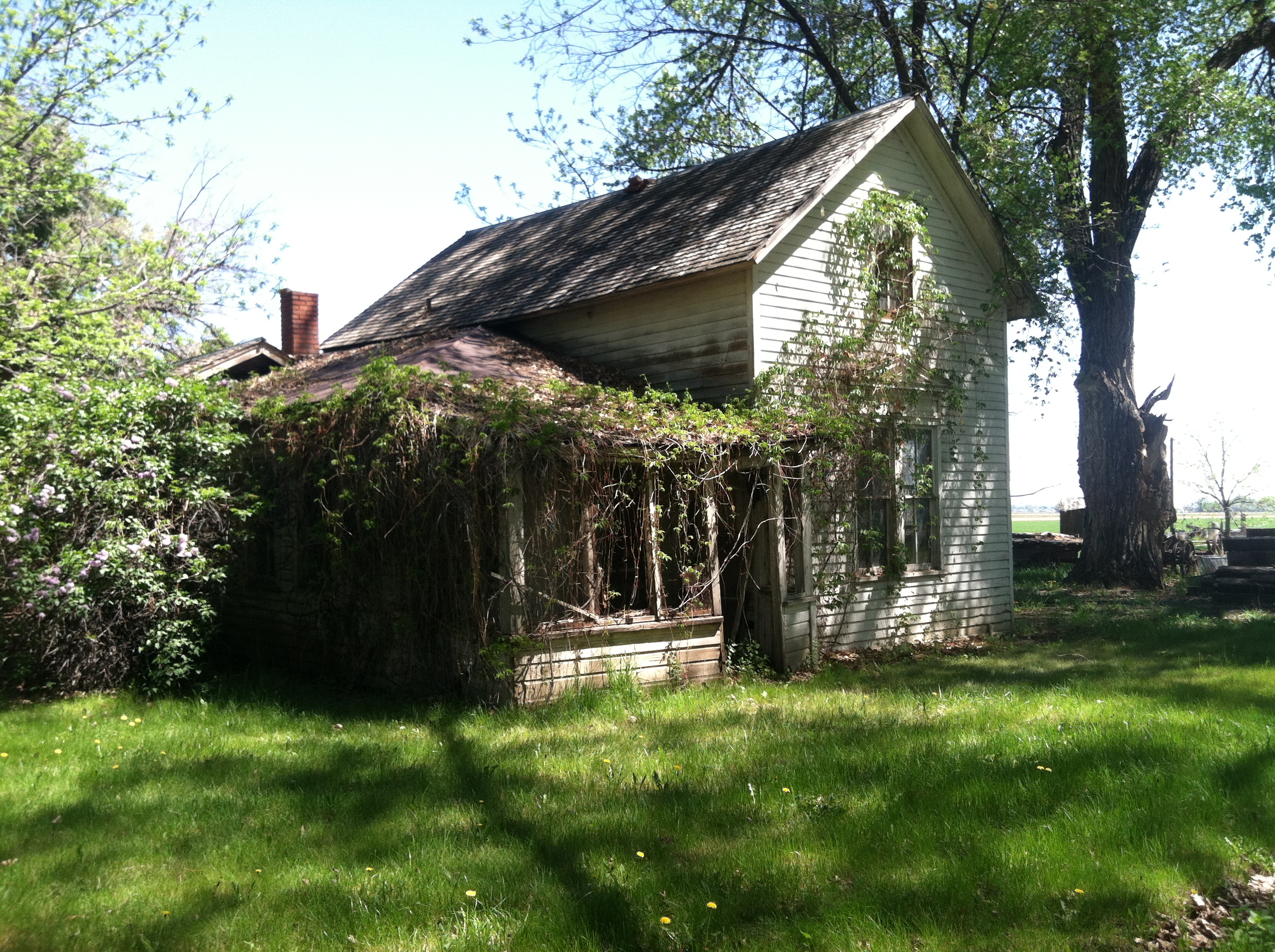
Early dwelling at Hesper Farm, 2011
known as Hesper Farm. When Billings lost faith in Shuart, and his own son Parmly unexpectedly passed away, Billings turned to one of his son’s workers, and friends, I. D. O’Donnell, to make his land valuable and to give life to the town that was named for him. O’Donnell, self taught in the value of land, irrigation engineering, and the possible miracle crop of sugar beets, became the Oracle of Irrigation for not only the Yellowstone Valley but for all of the northern plains.

O’Donnell expanded the ranch at Hesper Farm and turned into a private demonstration farm for the entire region, a place of beautiful cottonwood trees and modern barns.

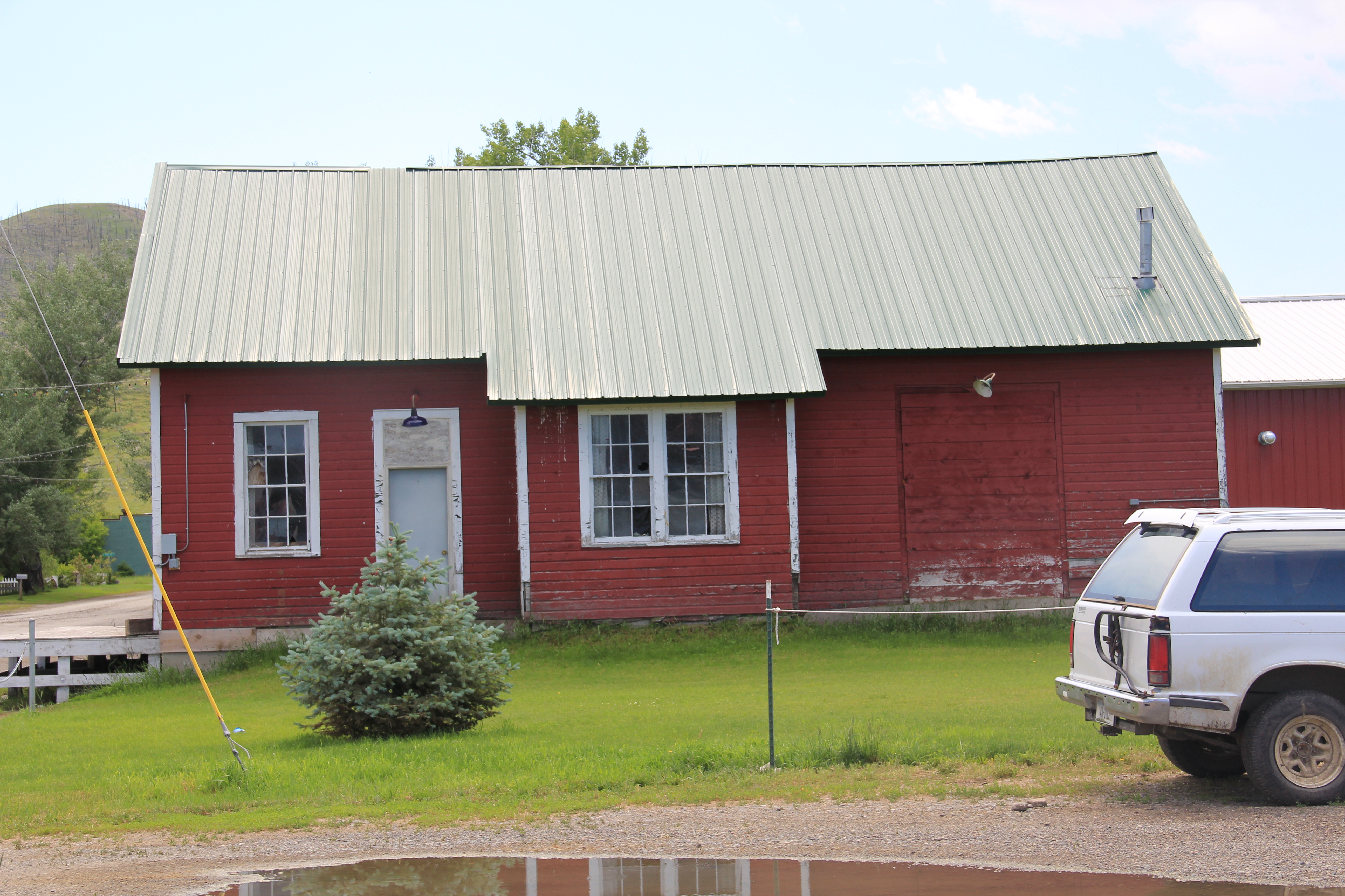
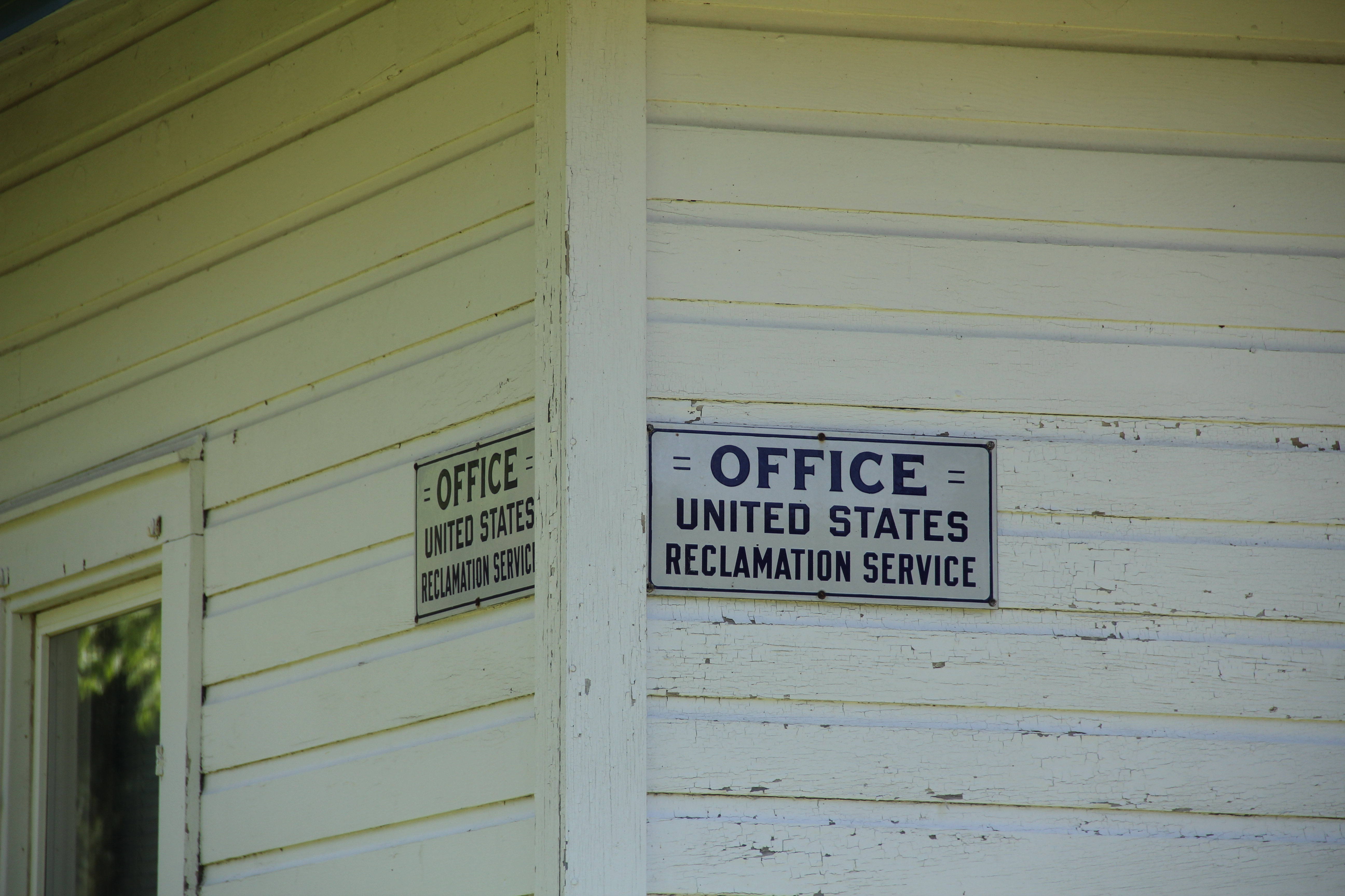
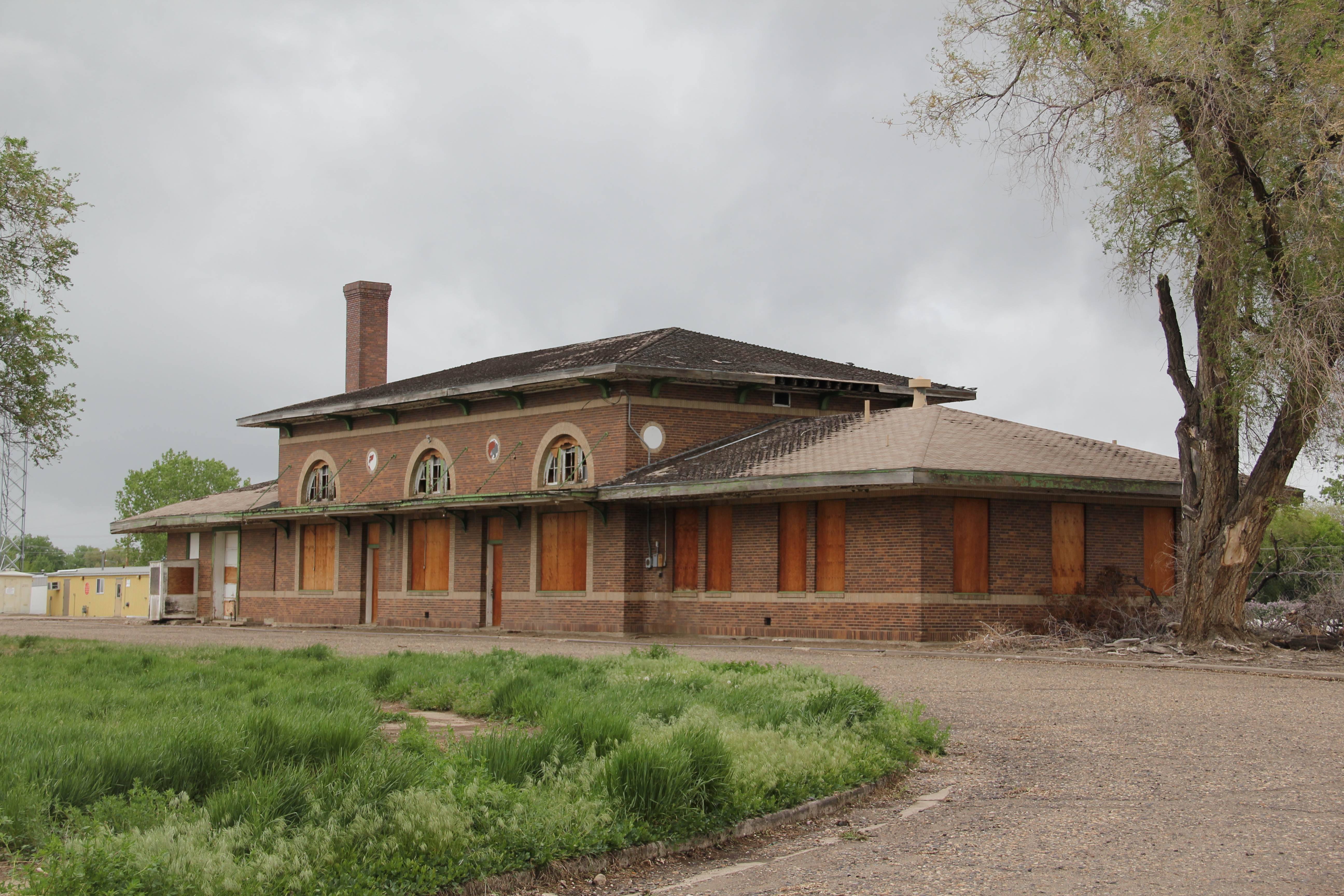
His enthusiasm and connections attracted other investors, and soon caught the attention of the new U.S. Reclamation Service, which made the Huntley Project its second one across the West. Amazingly the very simple farm-vernacular building that housed the project’s office at Ballatine still stands, a little building that really conveys a huge story of a federal program that transformed a region.

 O’Donnell’s empire depended on others for capital, none no more so dependable that Preston Moss. Moss also looked to the Midland Empire, and built his grand mansion in pursuit of that dream. The Moss Mansion became a house museum in 1983.

Not far away I. D. O’Donnell also had his town house, on a more modest scale but grand as far as many homes in the “new” Billings. This Queen Anne house, like the Moss Mansion, were listed in the National Register in the 1980s, and the Moss-O’Donnell story

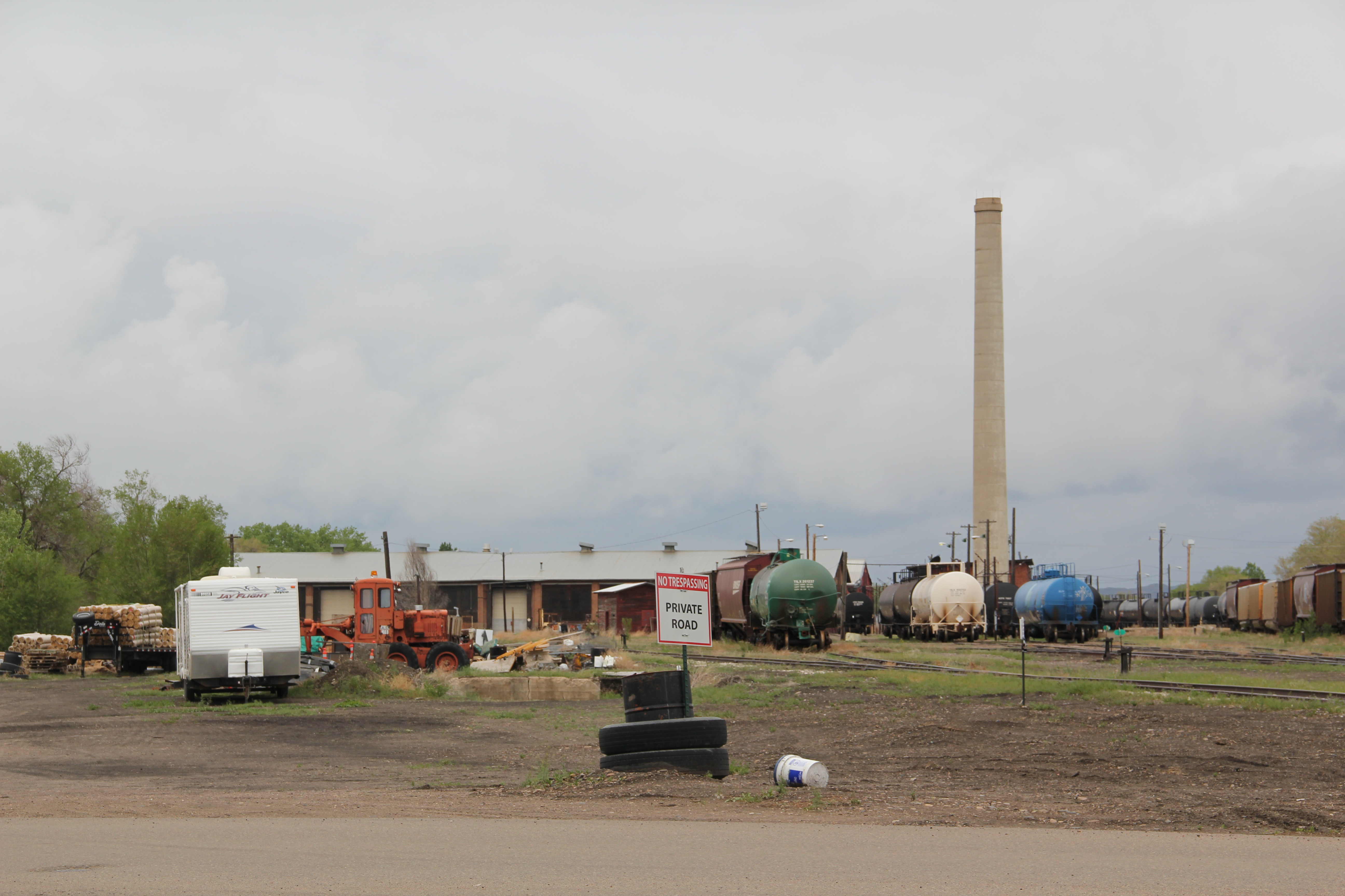
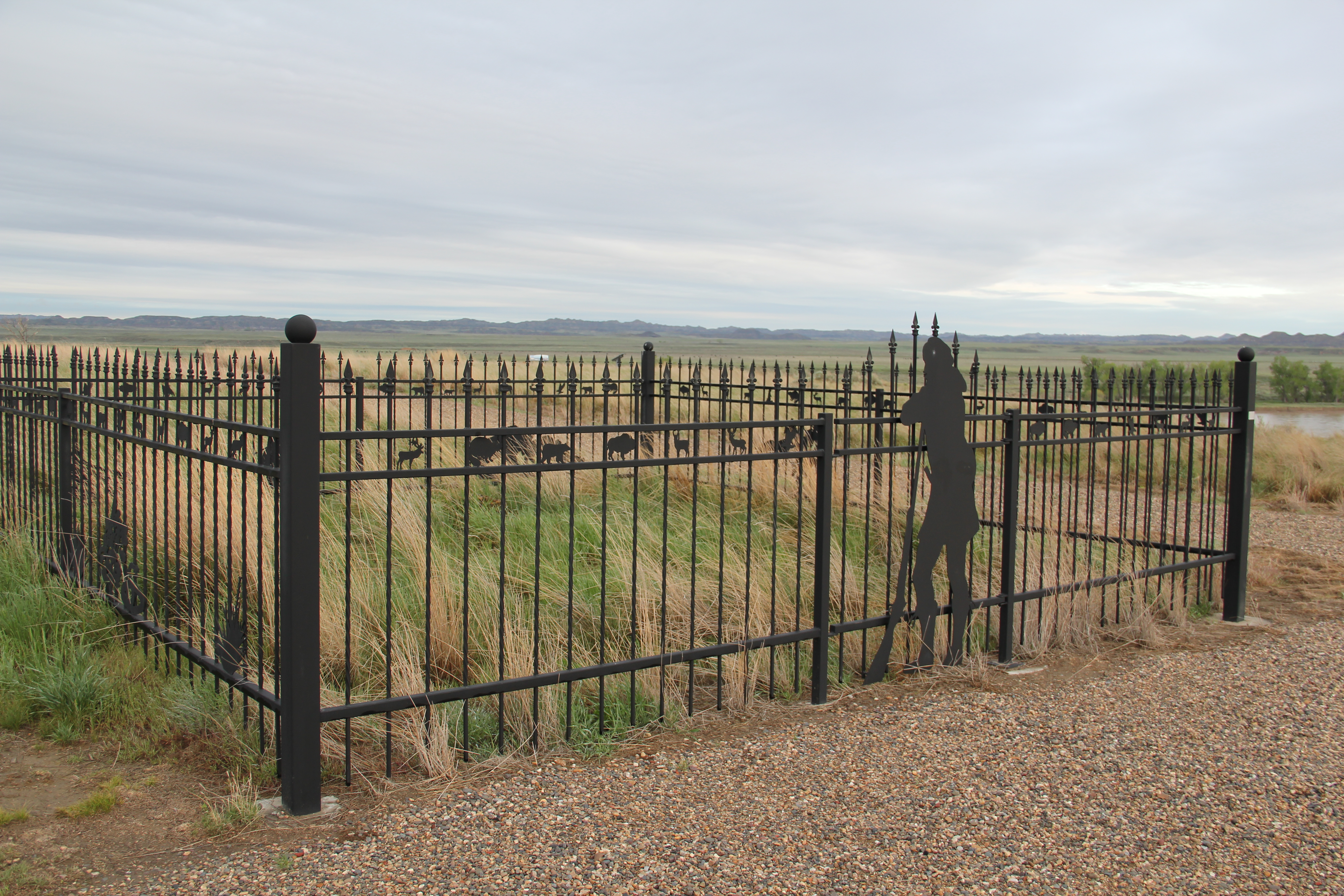
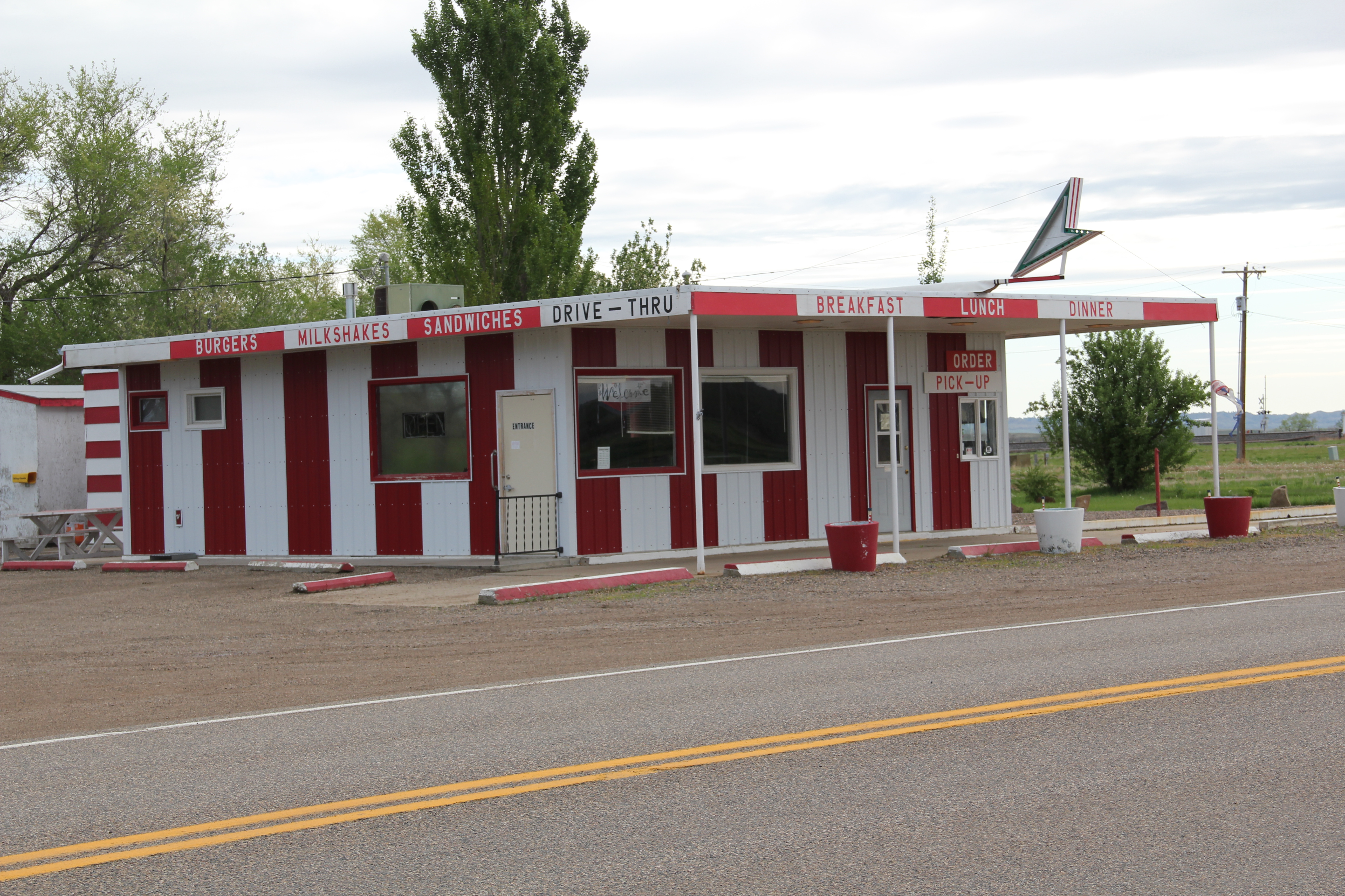
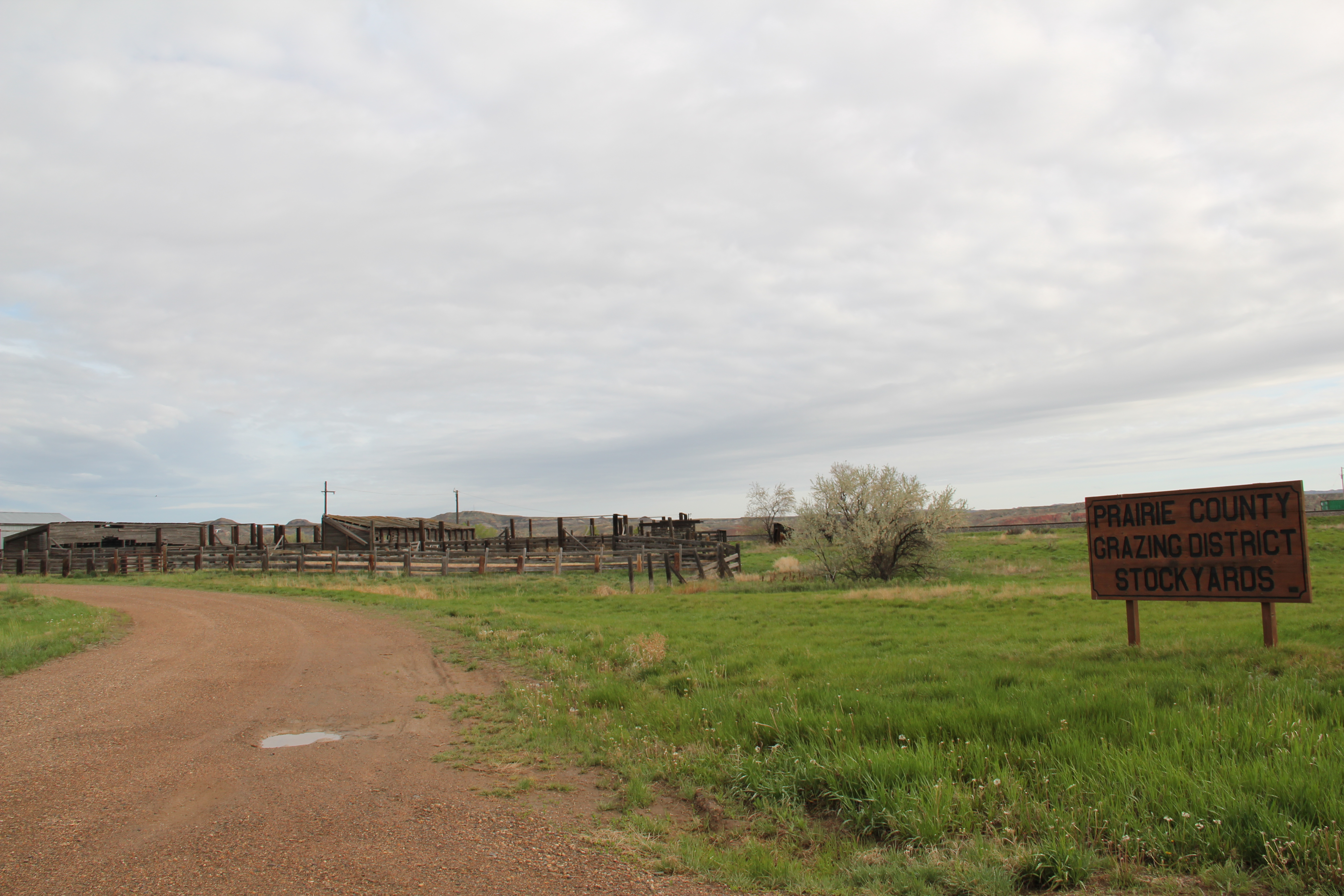
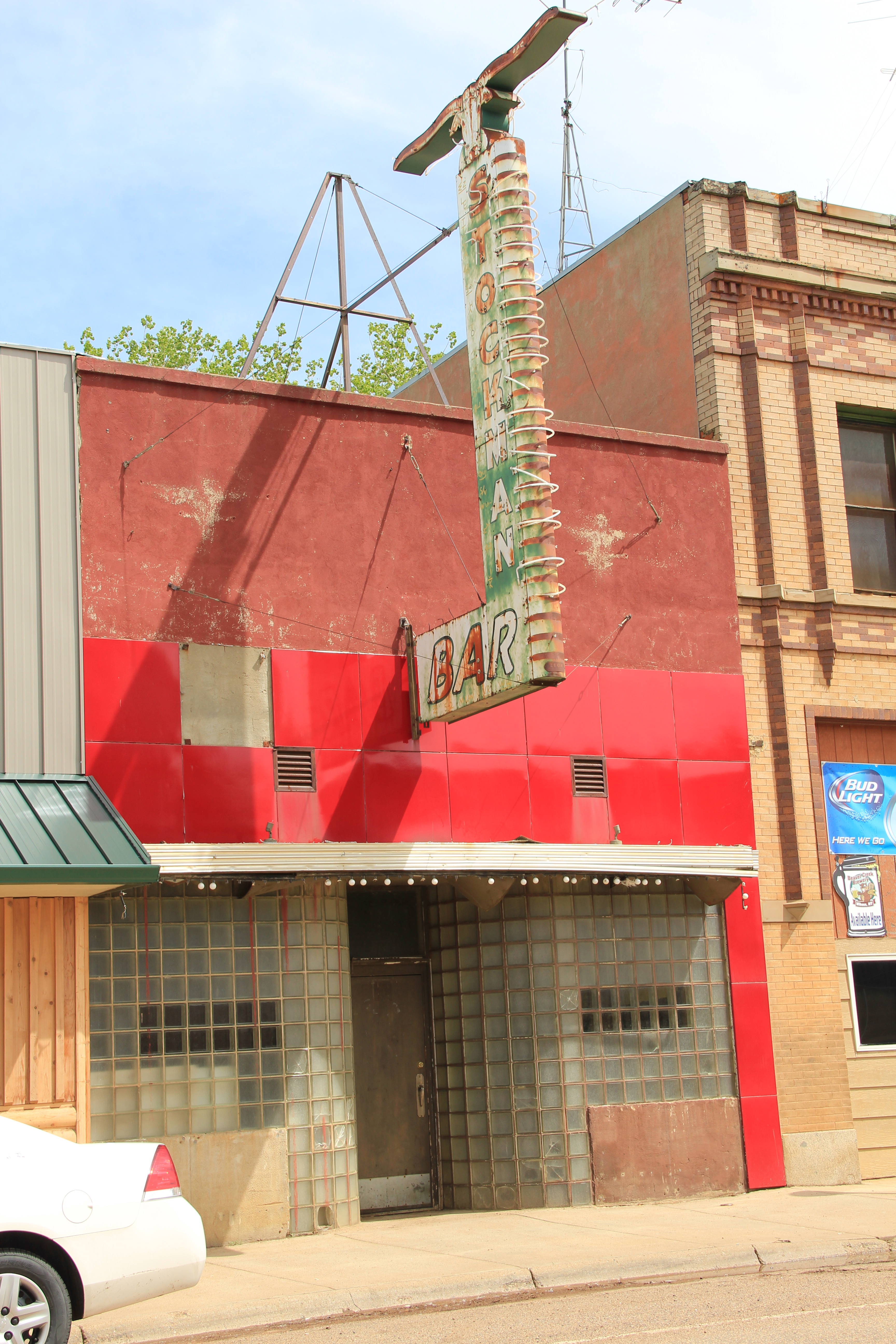
became better known. And the legacies extend to places not often thought historic. That place would be the Billings Sugar Factory, a huge sprawling complex of where town meets farm, ironically located about halfway between downtown Billings and the old Yellowstone River townsite of Coulson. Sugar beets made the valley bloom, and the landscape still shows those marks today.


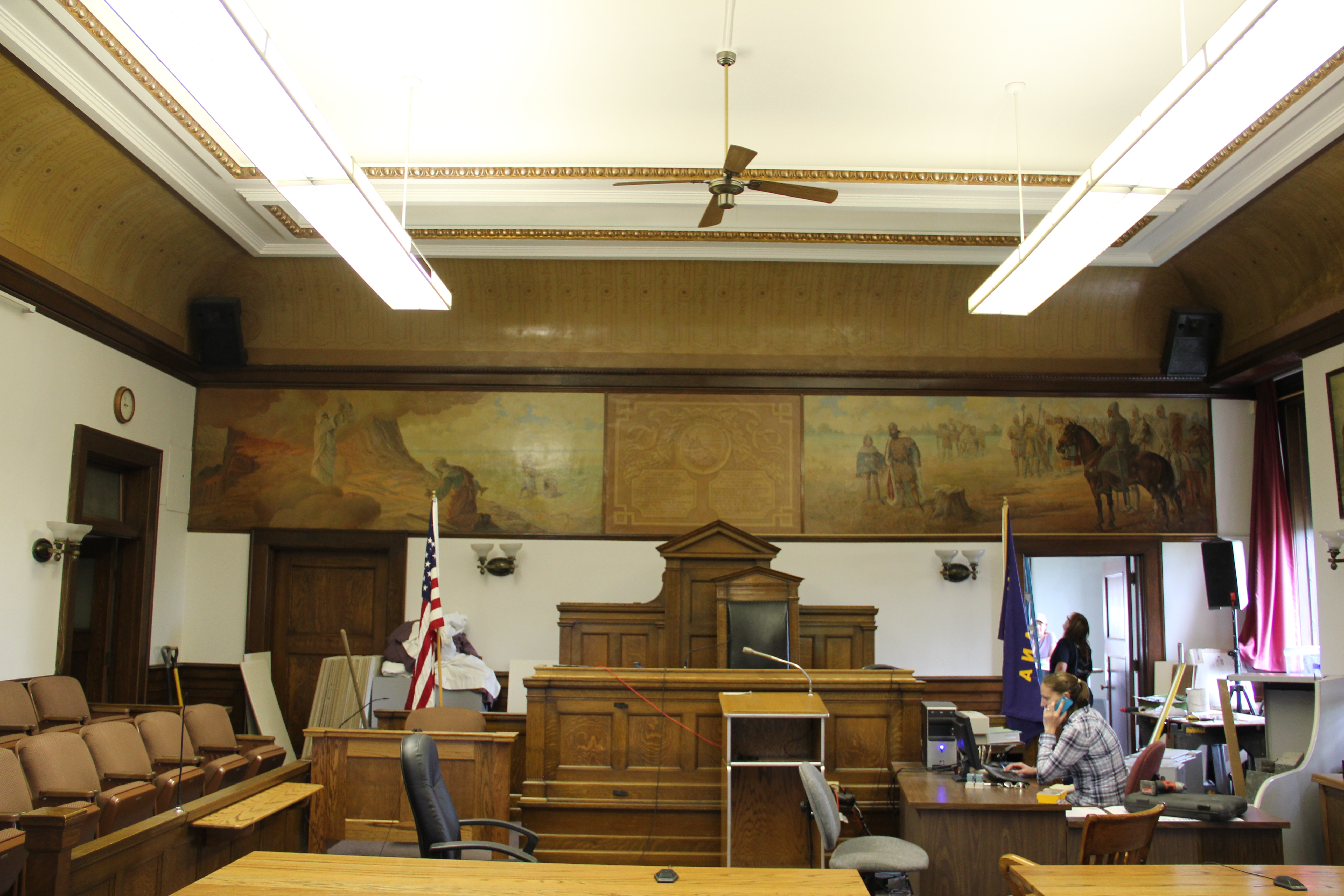
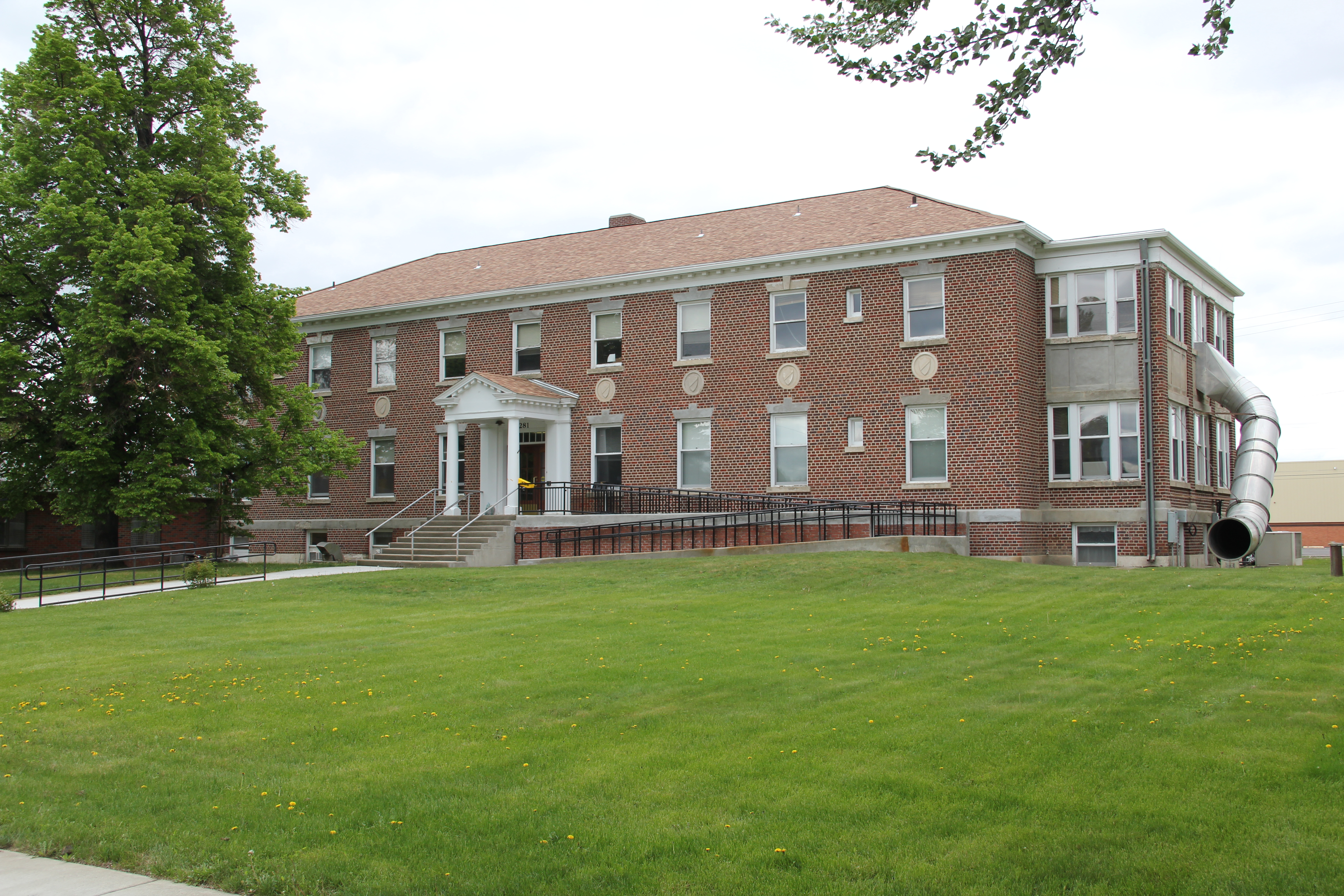
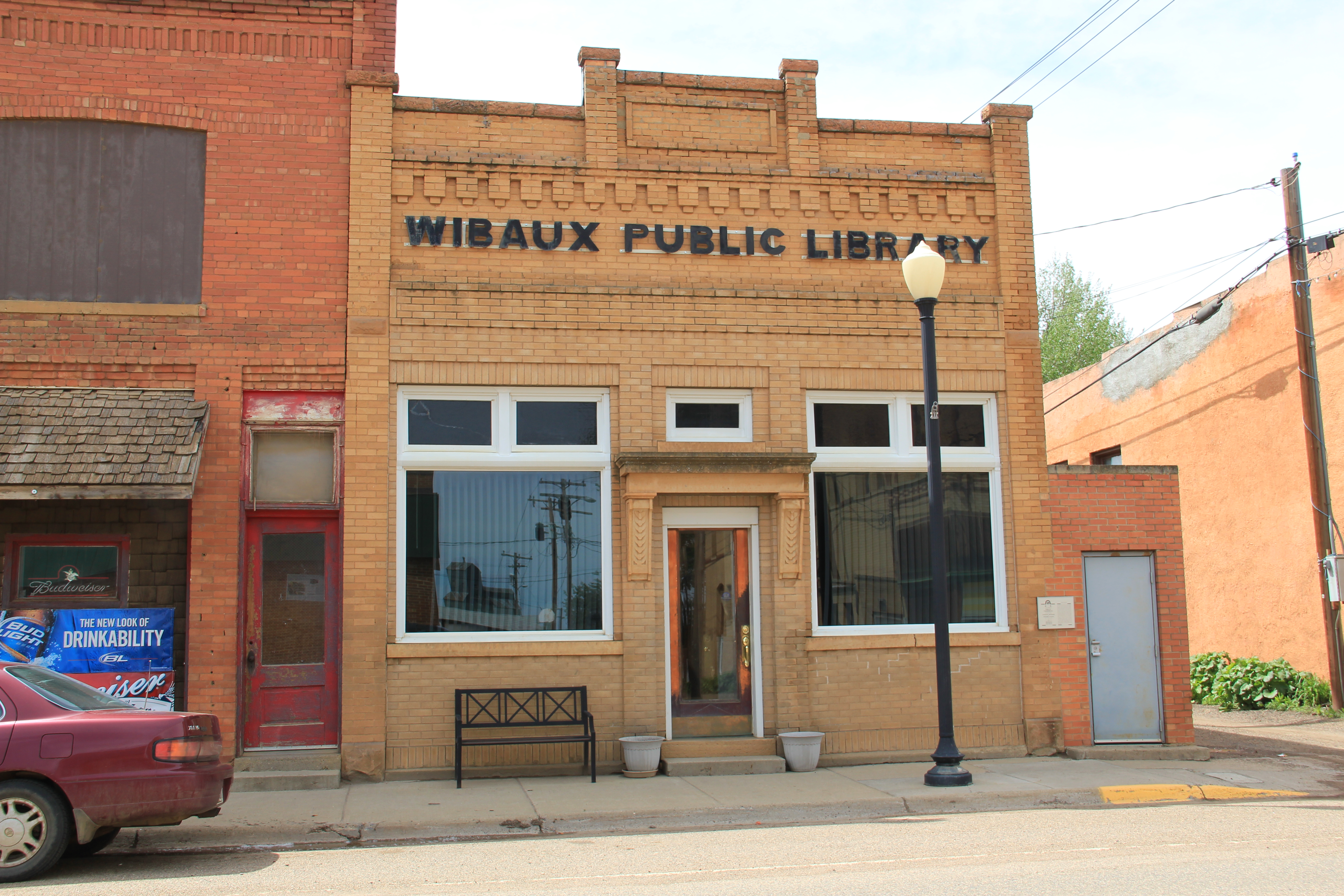
 So too are community institutions important. The local library is small but still there, a place of valued interaction between young and old.