New United Mine Workers of America Cemetery at Klein

Entrance gate on US Highway 87.

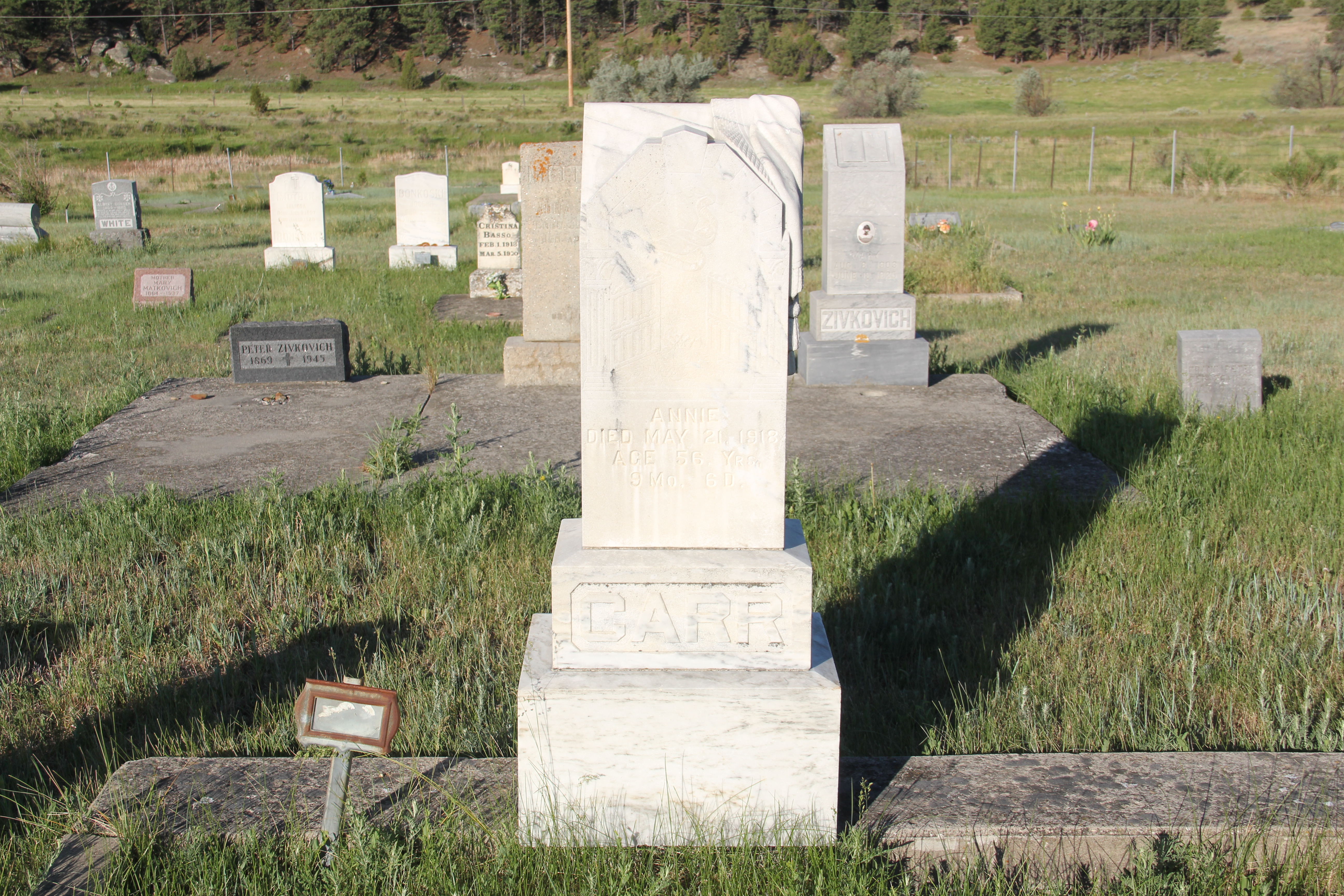
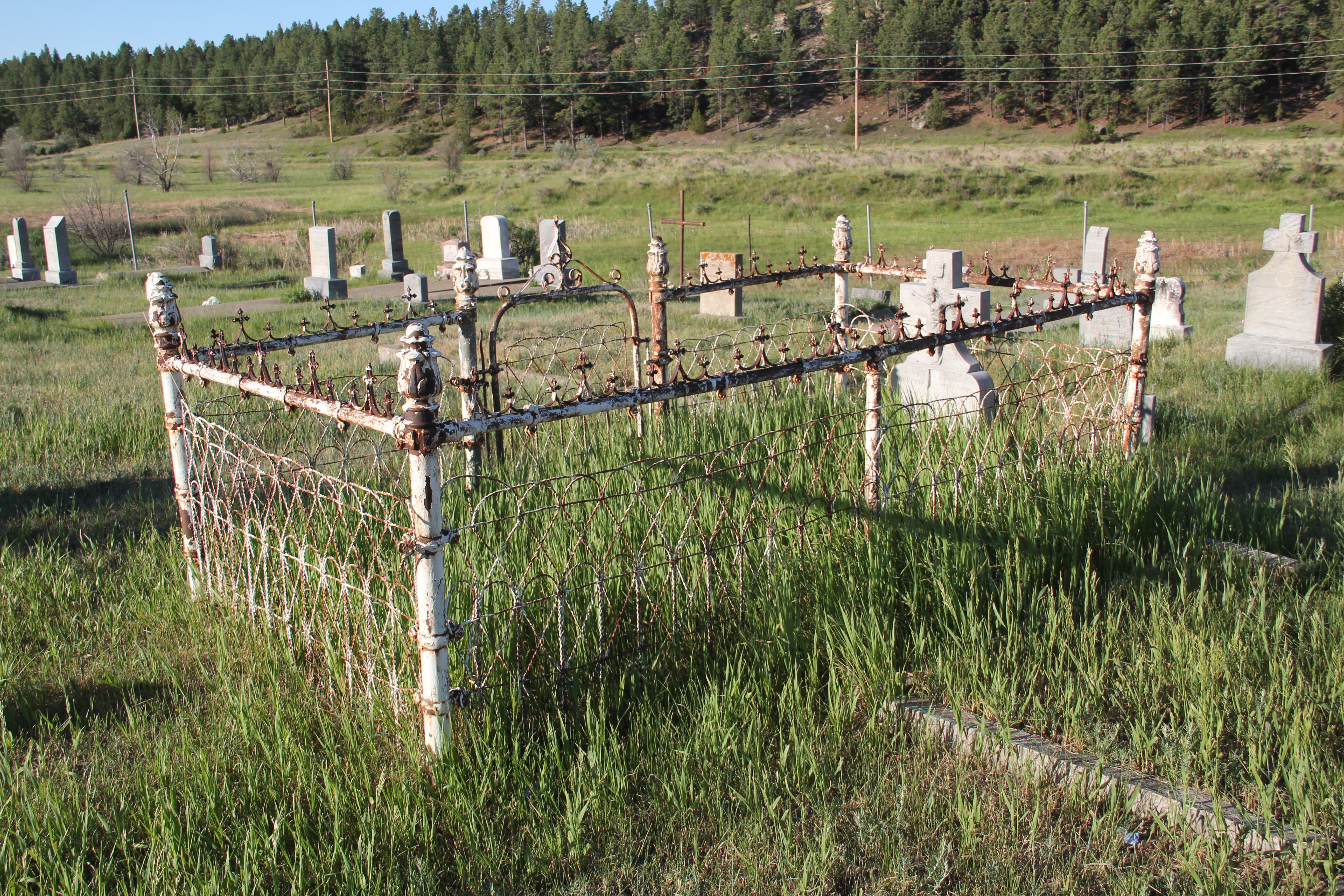
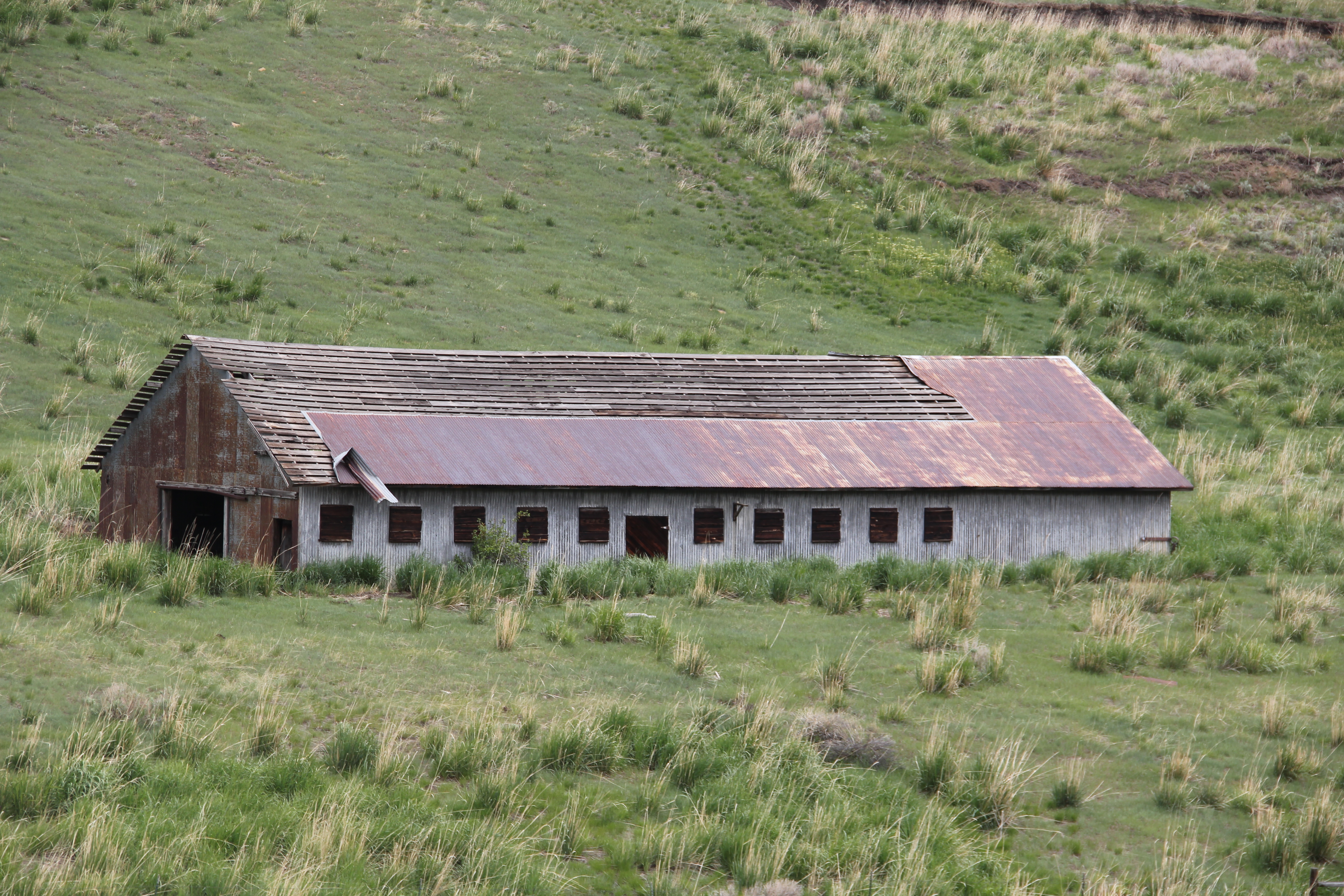
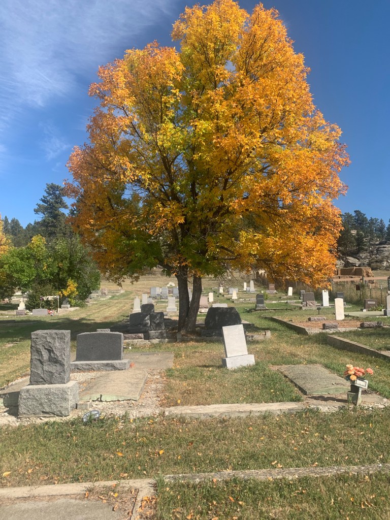
The “new” UMW cemetery refers to the southern section of the cemetery, nestled in the bluffs of the Bull Mountains outside of the historic coal mining town of Klein. The UMW local 2866 operated from 1919 to 1973. The northern section contains early burials of members.

The “new cemetery” has numerous burials from the late 1920s, 1930s, and 1940s but most of the internments date to the second half of the 20th century.

The cemetery faces west (US Highway 87) and is centered on a long driveway that ends at a flagpole. Then the rows of graves on either side are roughly equal in size, giving the “new” cemetery a sense of symmetry not apparent in the earlier north section.

Looking northwest from the center driveway
Looking south from the center driveway
Looking southwest from the center driveway.

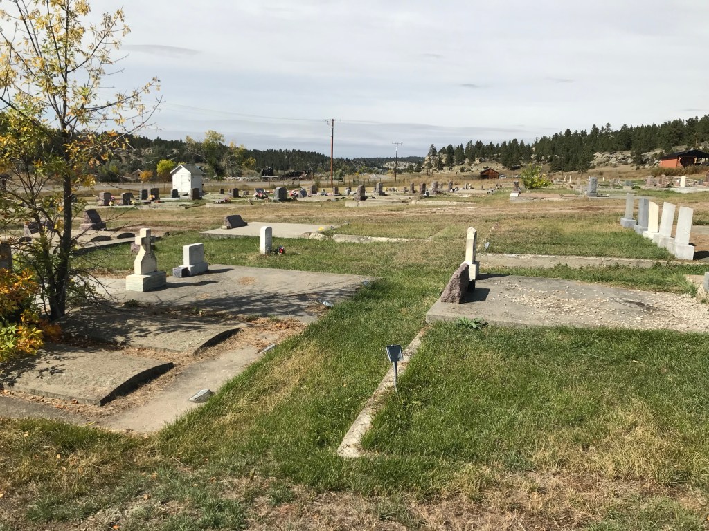
The cemetery’s rocky bluff setting, combined with colorful fall trees, is beautiful in September and October. It’s use of foliage and shade is another difference with the northern section of the UMW Cemetery.

South section facing east
South section facing southeast

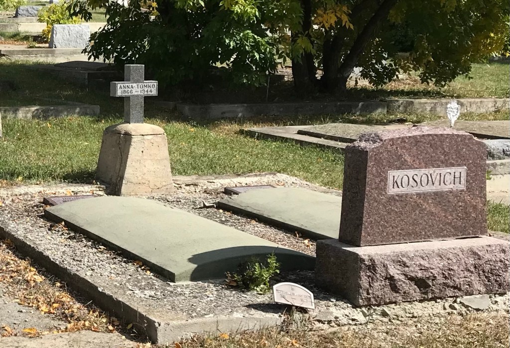
There are several interesting grave markers. Anna Tomko (d. 1944) was born in Croatia in 1866. She arrived in the United States in 1901 and was leaving in Roundup by 1920 where she became known as Annie Tomko.

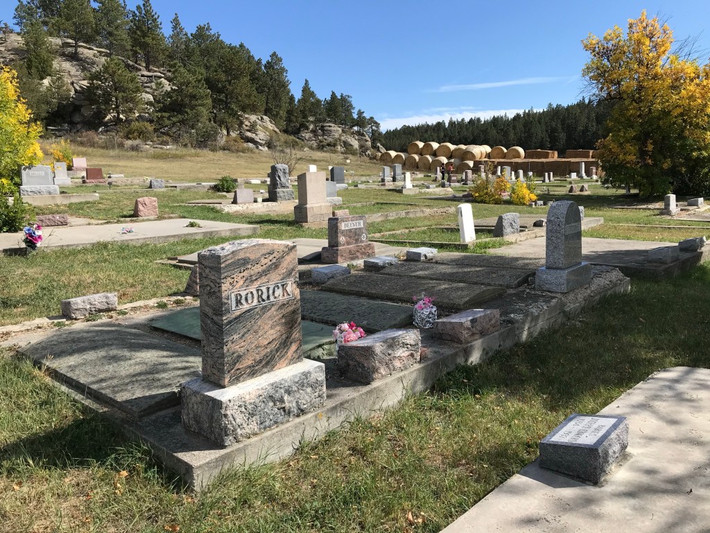
The beautiful cut and polished stone marker for Carl Eldon Rorick dates to 1941. Rorick was a native of Klein and only 17 years old at the time of his death.

The large grave marker for Mary (b. 1872) and David Murphy (b. 1870) dates to 1942; she died in January while he died in December.

David was a native of Scotland, who was working as a coal miner at Klein at least by 1920. He married his wife Maggie (Margaret) McCann Murphy in about 1892.

Klein’s Cemeteries: Documenting a forgotten mining community

UMW Cemetery, U.S. Highway 87, Klein, MT

Without the striking cast-iron front gate proclaiming the U.M.W. of A. Cemetery, passengers in the cars and trucks roaring along U.S. 87 in Musselshell County would have no idea that they were passing through mining country. Outside of Red Lodge in Carbon County, Colstrip and Decker in Rosebud County, and Belt in Cascade County you don’t hear much about coal mining in Montana. The focus in the state’s history has always been squarely on the more extensive, and lucrative, mining in precious minerals, especially in western Montana. But here in the Bull Mountains north of Billings, investors were interested in the coal deposits as early as the 1880s. Significant investment didn’t come, however, until the Milwaukee Road decided to drive its transcontinental railroad line through the Musselshell Valley, just north of the coal deposits in and around the Bull Mountains.

In 1907 Republic Coal Company opened its first mine, but it was mine no. 2 that became the great producer, with miners at the peak bringing up 150 cars of coal a hour–and the production rarely slowed for the next 20 years until the Milwaukee Road lost interest in coal as it transformed its engines to diesel fuel and the depression came in 1930.

Most miners lived in Klein while others boarded at nearby Roundup, the county seat. Klein reached an estimated 1500 residents at its peak. Republic No. 2 stayed open to 1956, 25 years later the Milwaukee Road had abandoned the line and the region.

Klein is still here, greatly diminished by the closing of the mines and railroad in decades past. But the town’s cemeteries convey stories of those who lived, worked, and died there. The UMW and Miracle Lodge #84 face each other on U.S. 87 and are worth exploring in some depth.

The setting of the UAW cemetery is beautiful, nestled between the highway and the foothills to the west. The graves are facing east and most of the grave markers are small to medium in size; little ostentatious display by the families here.

Mary Bedel (d. 1919).
The shroud over the Carr family stone
Cristina Basso gravemarker

Although the cemetery dates to the early 20th century, it has a few examples of Victorian-styled cast-iron fences to define family plots or in the case of the second image, to highlight the death of a child.

But throughout the cemetery, you are drawn to the many ethnic names, members or at least supporters of the United Mine Workers, who came to America to find a new life, and lie buried in this rural cemetery in central Montana.

Carbon County’s Bearcreek and the Smith Mine Disaster

IMG_5696Red Lodge prospered as a railroad/coal town because rich seams of coal existed all around it, especially to the east along Bear Creek, now followed by Montana 308.  Active exploitation of these resources started at the beginning of the 20th century, and continued, on a significantly reduced scale, into the 1970s.

IMG_5688Bearcreek, the town that served these mines, was not much a place when I first visited in 1984, with the mines having been closed for a decade, many had left.  It had that abandoned look of other Montana mining towns where mining had ceased. Over 300 people lived there during World War II; in the 1980s about 60 residents could be counted.

IMG_5689Today, population has slightly ticked up–to almost 80 residents–but little remains of historic Bearcreek and its boom from 1905-c.1925, except for buildings made with stone from nearby sandstone quarries or flashier commercial buildings with pressed tin exteriors.

IMG_5683

IMG_5690Bearcreek is a sliver of what it had been due to the growth of the Colstrip mines and the railroad shift from coal to diesel power from 1925 to 1950.  But its fate, so closely intertwined with the mines, took a terrible turn for the worst in early 1943 when methane gas combined with lax safety procedures to led to the explosion of the Smith Mine.  With 74 miners dead, along with one first responder who died from injuries attempting to save the miners, the Smith Mine explosion is counted as Montana’s most deadly coal mining disaster. (Ironically due to the demand for coal during World War II, the mine stayed in production, in spite of the disaster, until the end of the war).

IMG_5702When I visited in 1984 the mine site was abandoned, deteriorating, but it did have public interpretation in the shape of a wooden highway historical marker, and the hulk of buildings did suggest a solemn memorial to those who had lost their lives.

IMG_5705

IMG_5710

Since that time, the deterioration of the site has continued, as it is open to the elements.  But the Montana State Historic Preservation Office has worked with property owners to create the Smith Mine Historic District in the National Register of Historic Places.  Plus, the preservation office and Montana Department of Transportation have added their own public interpretation markers to the highway historical marker, and these attract tourists on a regular basis to think about and remember those who died to fuel the nation’s war machine during World War II.

IMG_5701Frankly I think that is a good place for the Smith Mine site to be:  a decaying yet compelling industrial memorial to coal, miners, and the constant need for mine safety.