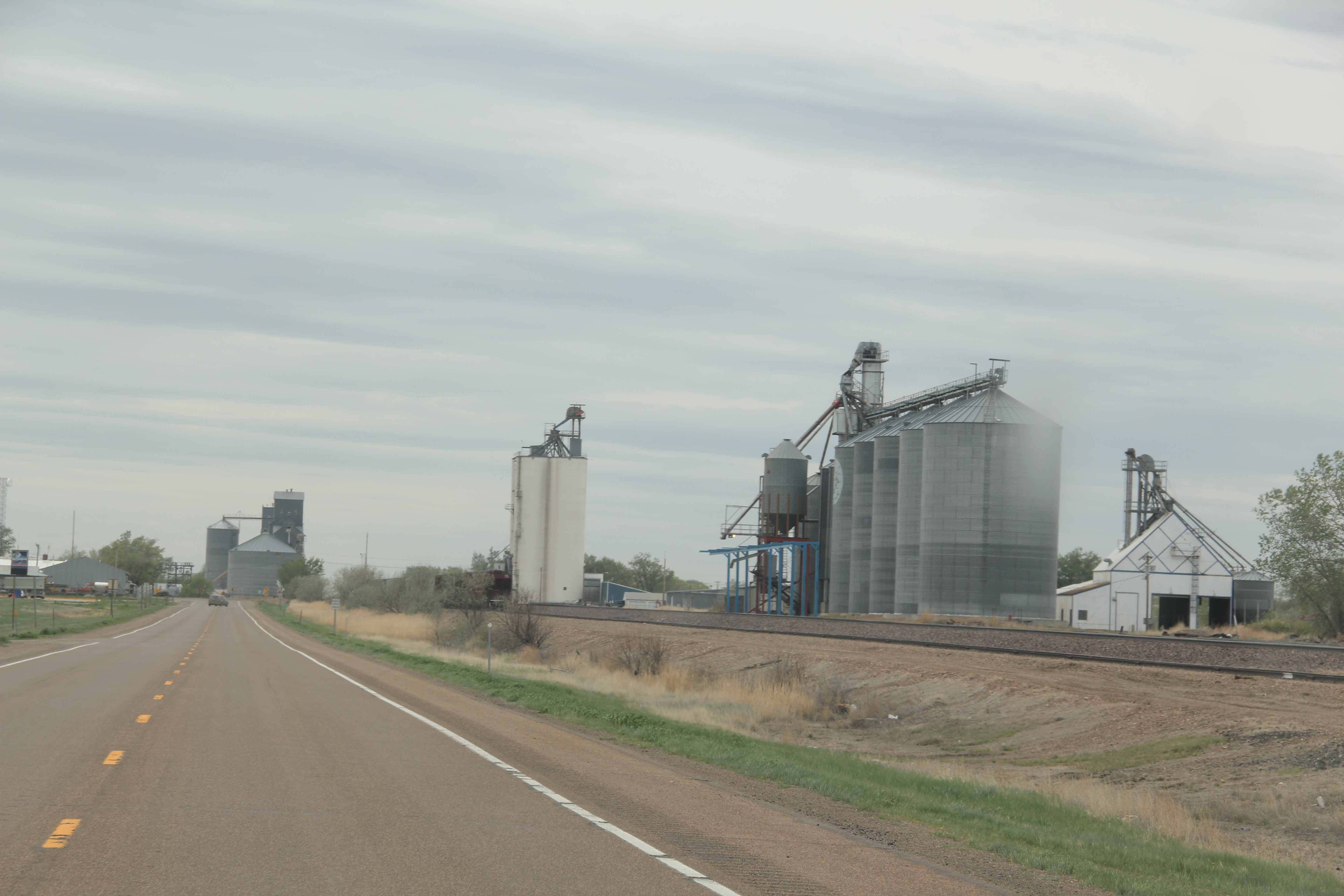
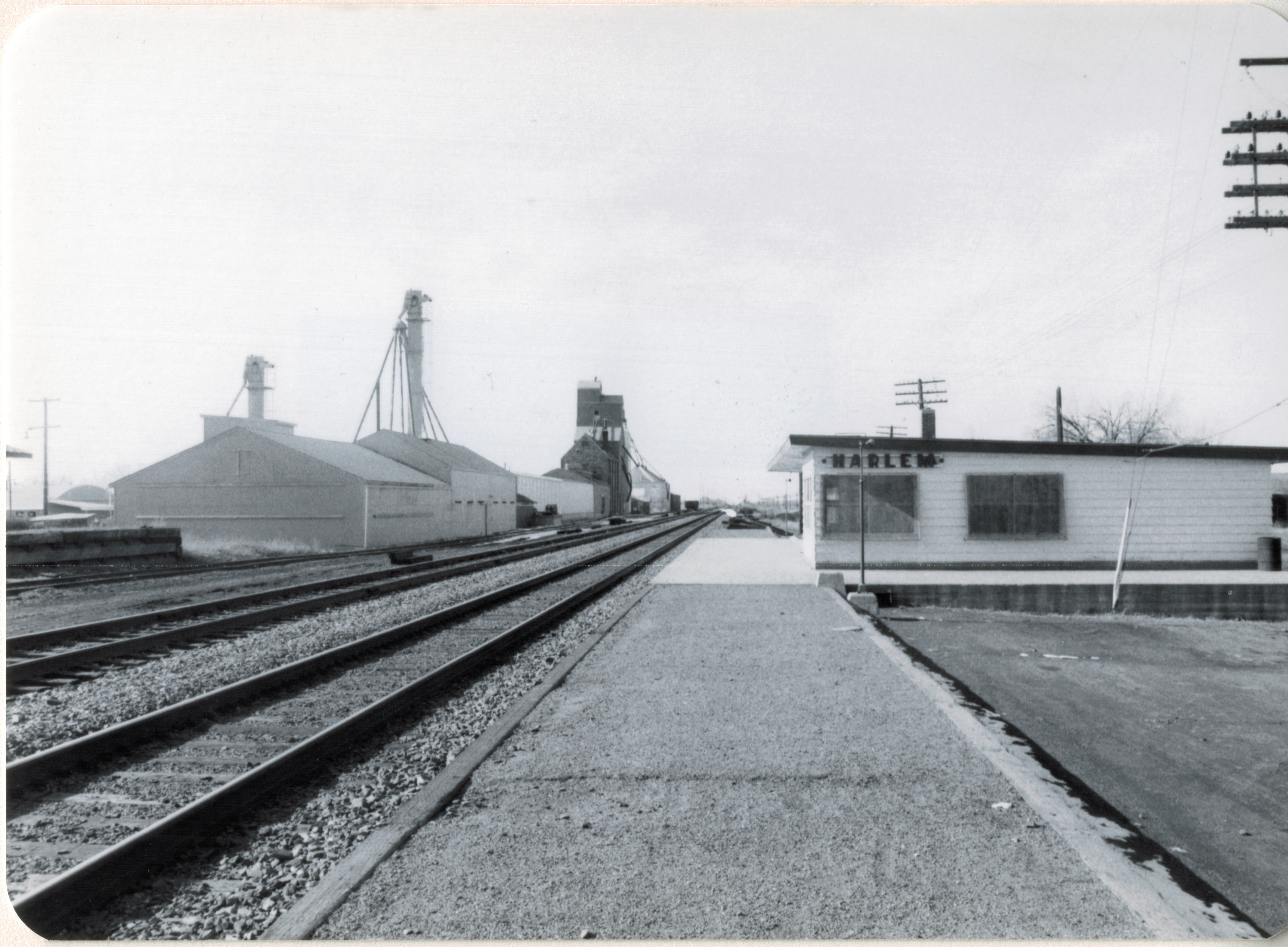
Great Northern Railway corridor along U.S. 2 in Roosevelt County
When I encountered the northern prairie of Roosevelt County in 1984, it was difficult to tear your eyes from the omnipresent tracks of the Great Northern Railway. The trains roared past regularly, and the tracks defined space and town location throughout this stretch of U.S. Highway 2. So when I arrived in Wolf Point, the seat of Roosevelt County, I immediately looked for the depot, and came away disappointed. Here, for northeast Montana, was a large town: certainly I would
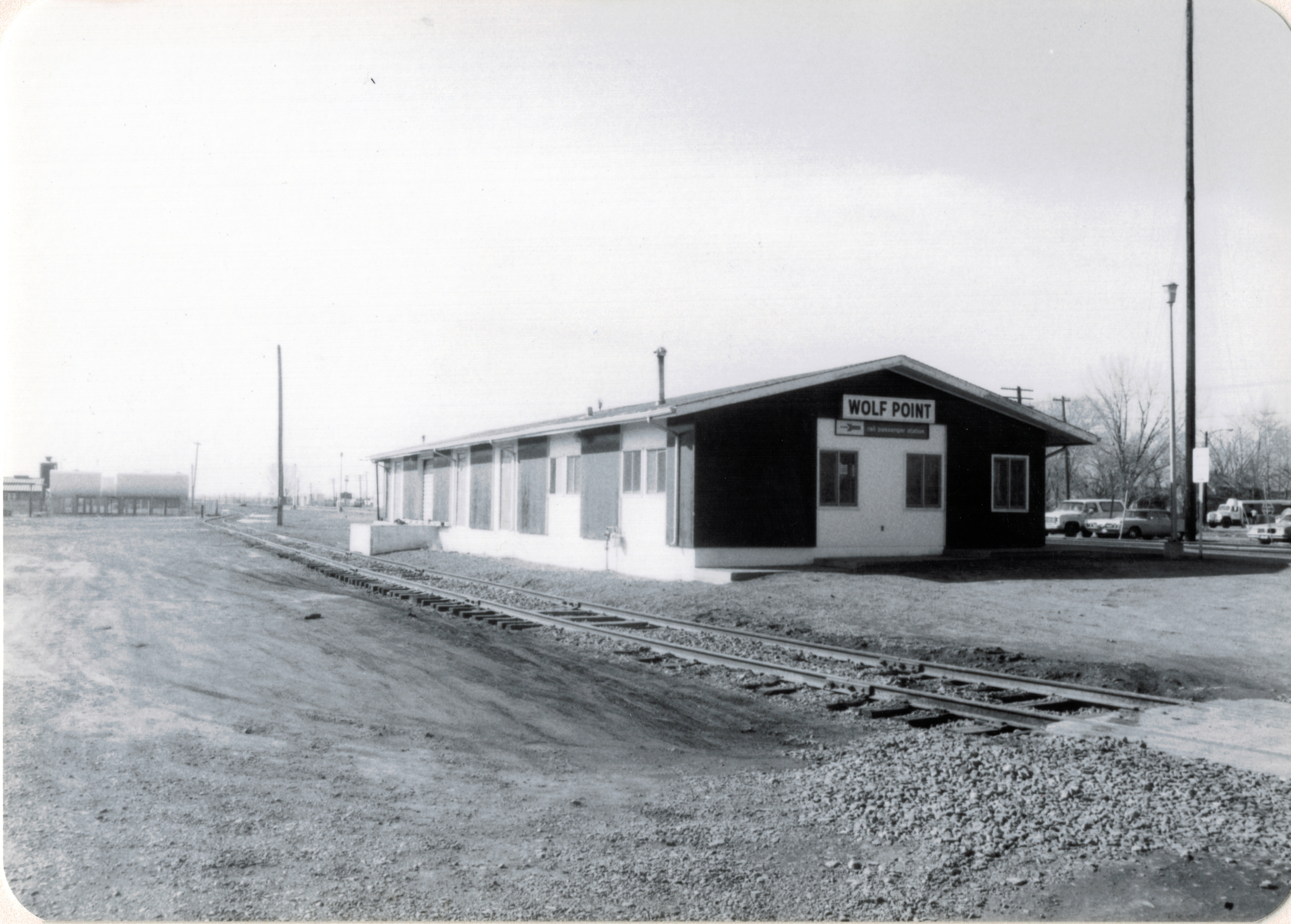
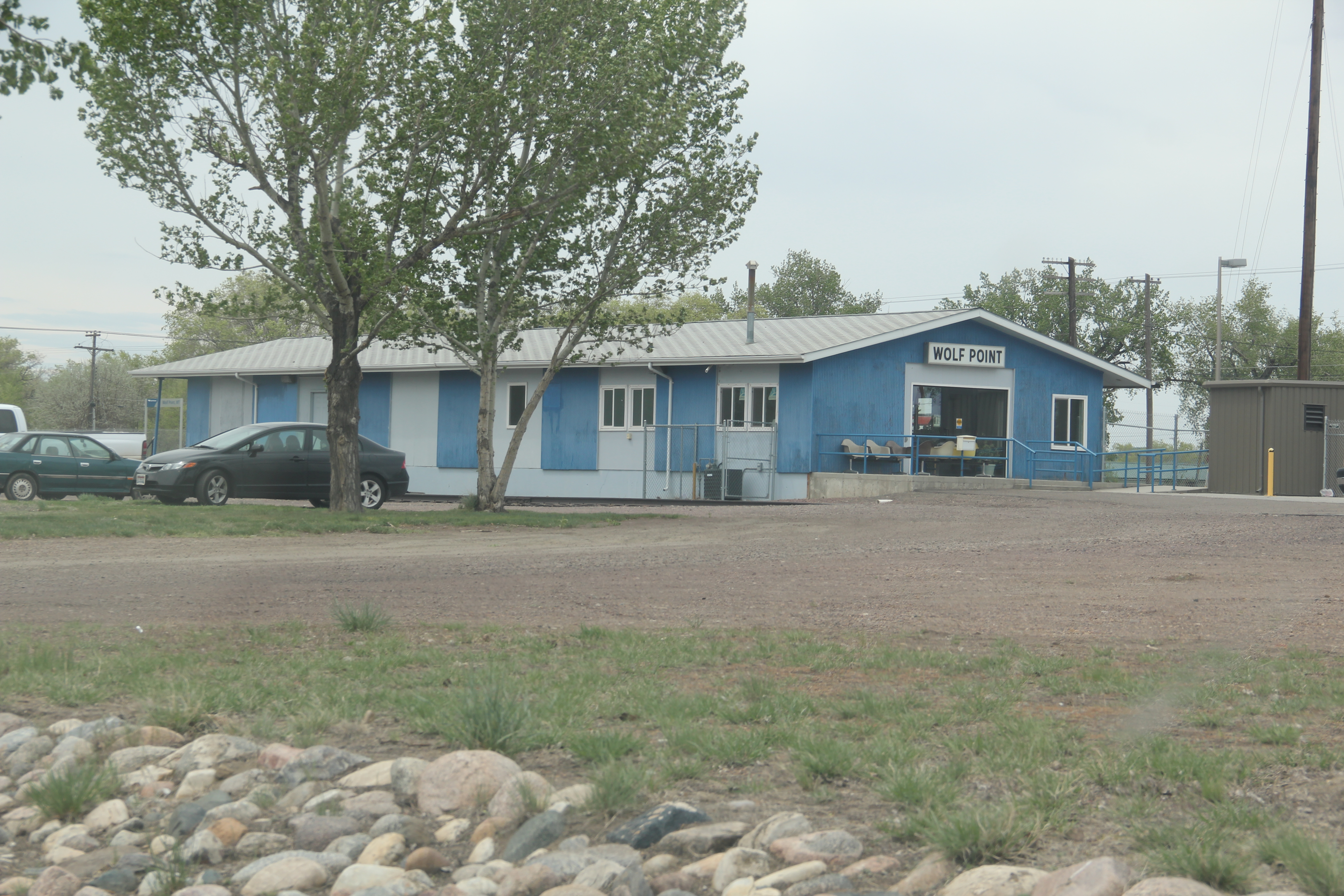
Wolf Point depot, Roosevelt County
find more than the standard-issue Great Northern design. It was different but nothing as I expected. No grand architectural statement–rather a modernist building with little ornament or aesthetics to it, except here was what the railroad had become in the second half of the 20th century–a functional transportation system not the town builder and landmark of the turn of the century.
 But as I explored the town in 1984, and visited it again in 2013, I found several places worth considering in this small county seat of 2621 in 2010. First was the impact of the New Deal. Roosevelt County–named for TR not FDR–received one of the most striking modernist courthouses in the state, courtesy of the Work Projects Administration.
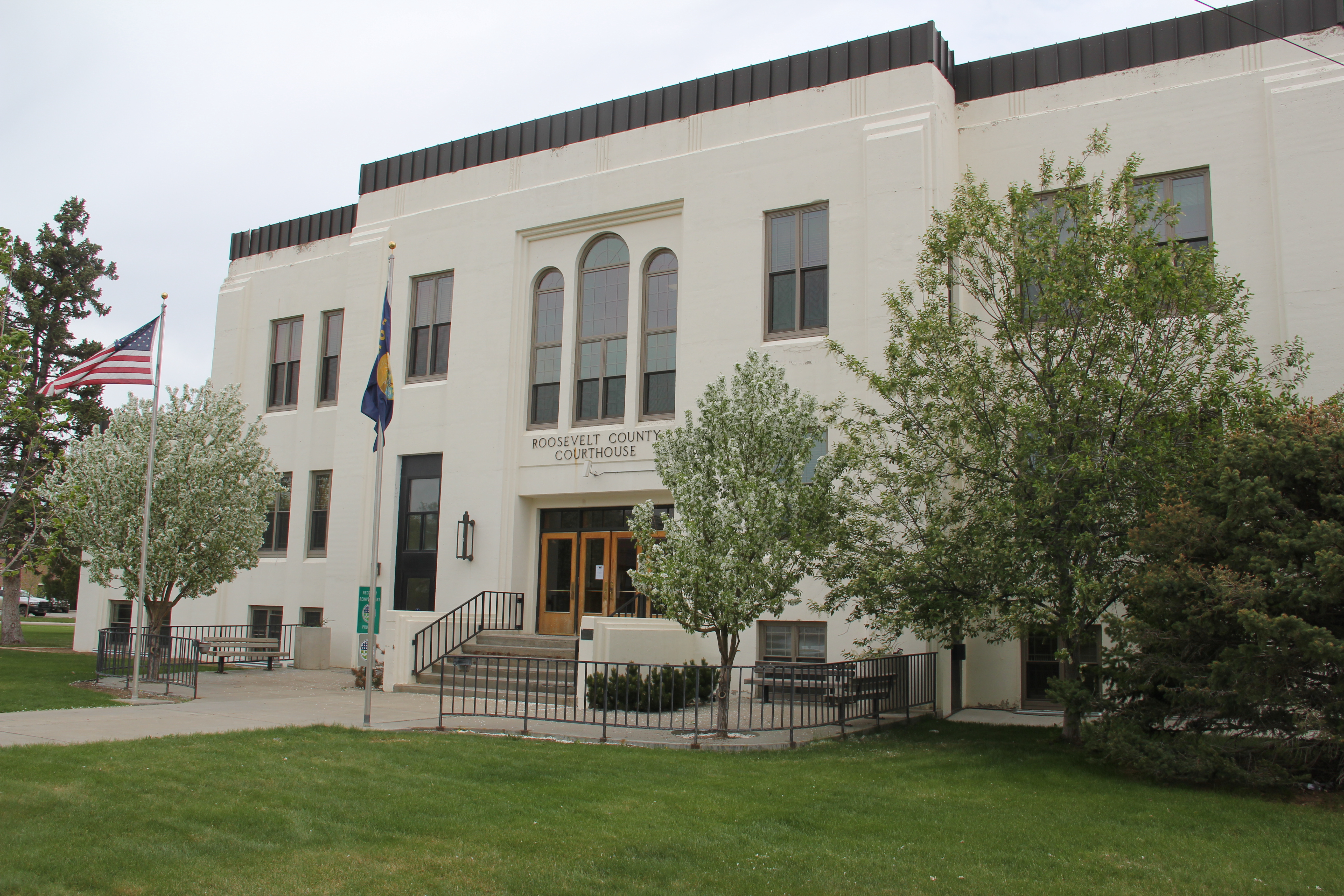
Encountering such a gleaming landmark of the federal imprint on the region startled me, but also started me looking much more carefully at the impact of federal projects on the region, a research interest that culminated in an essay titled “The New Deal Landscape of the Northern Plains” for the Great Plains Quarterly.
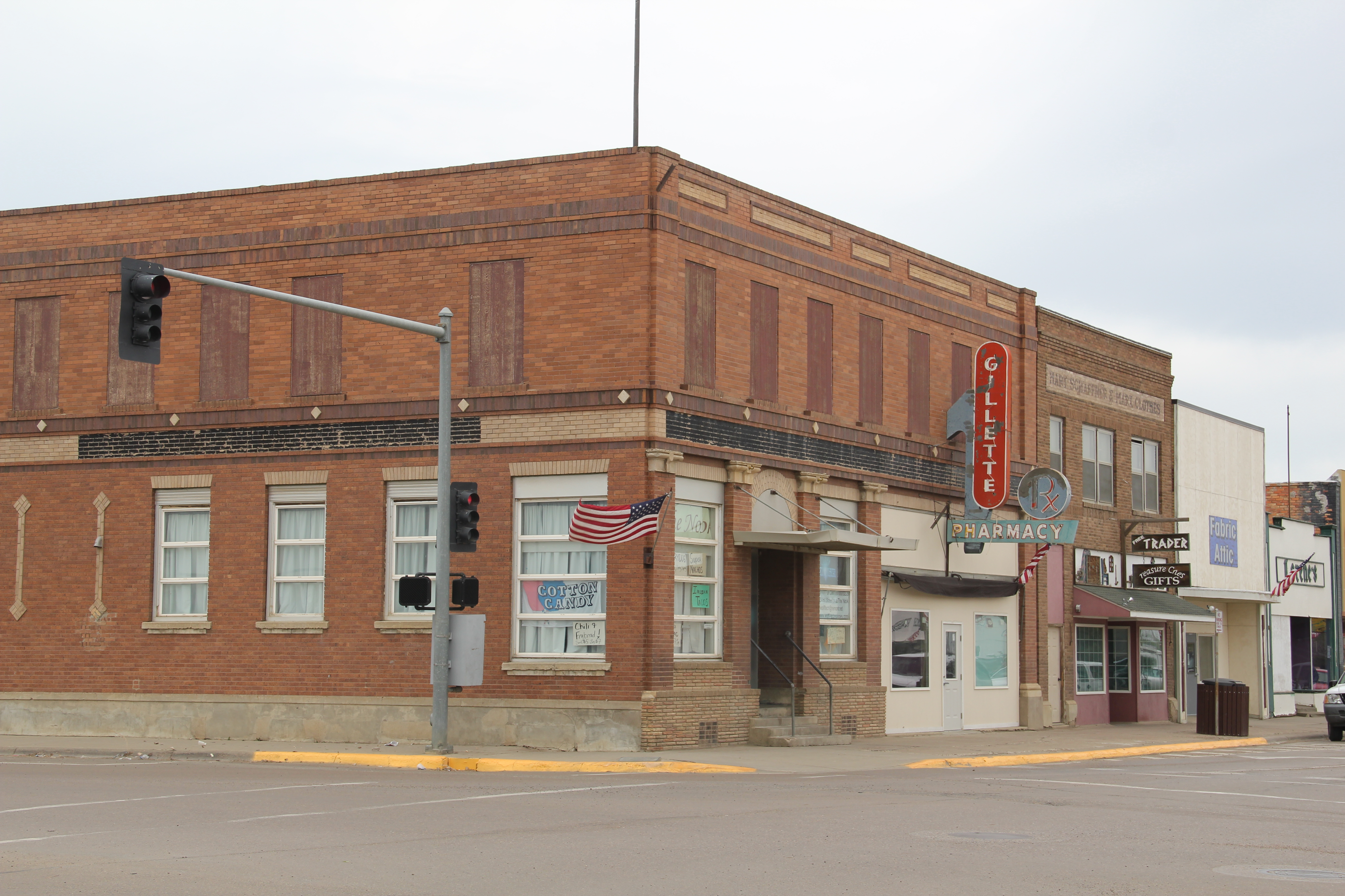
Wolf Point, like almost every Hi-Line town, had suffered from population decline. The town’s heyday came in 1960 with a population of 3585, which had dropped by 500 by 1980, and another 400 since then. Yet Main Street was alive, not dead, but dilapidated with later day “improvements” marring historic commercial facades.

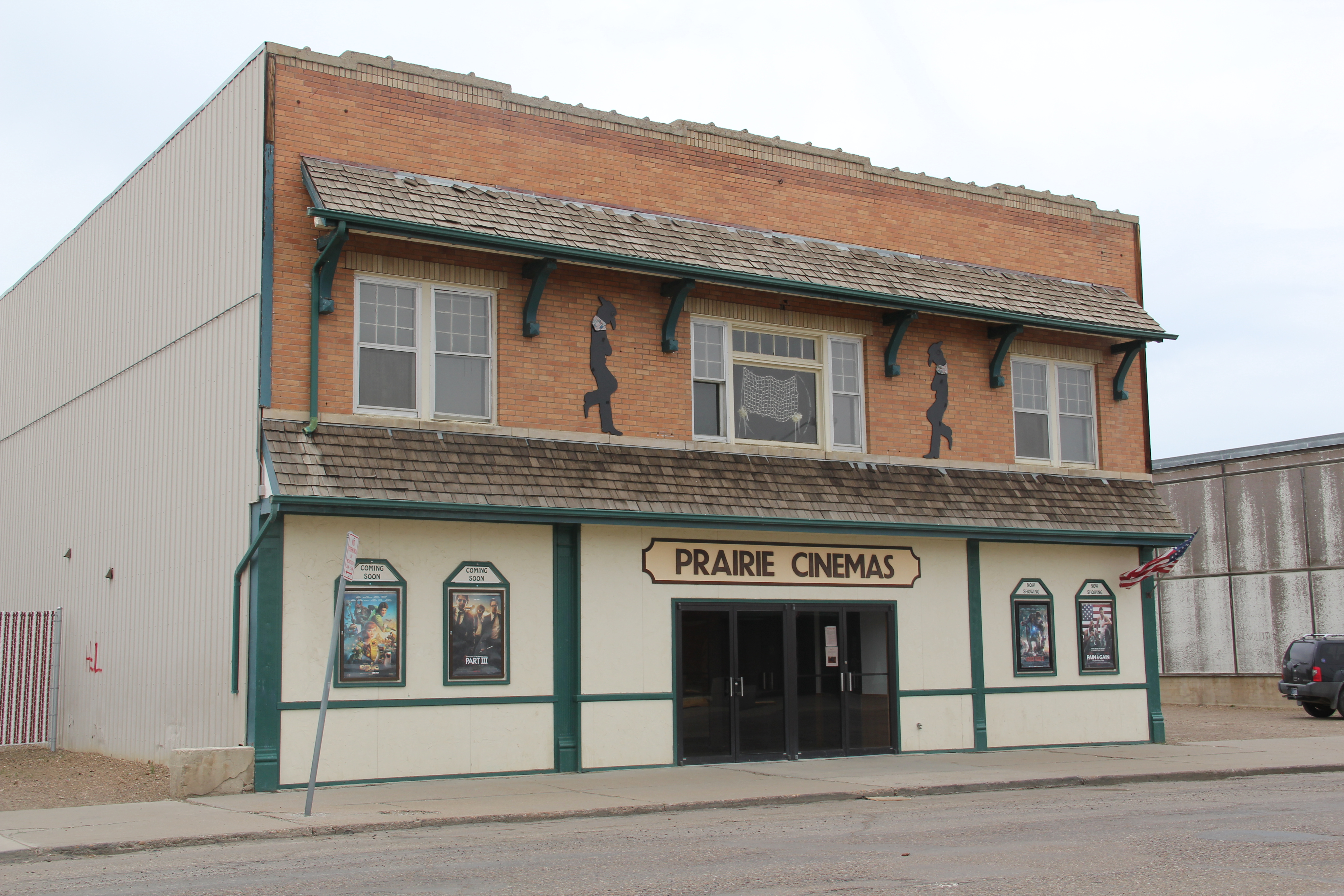
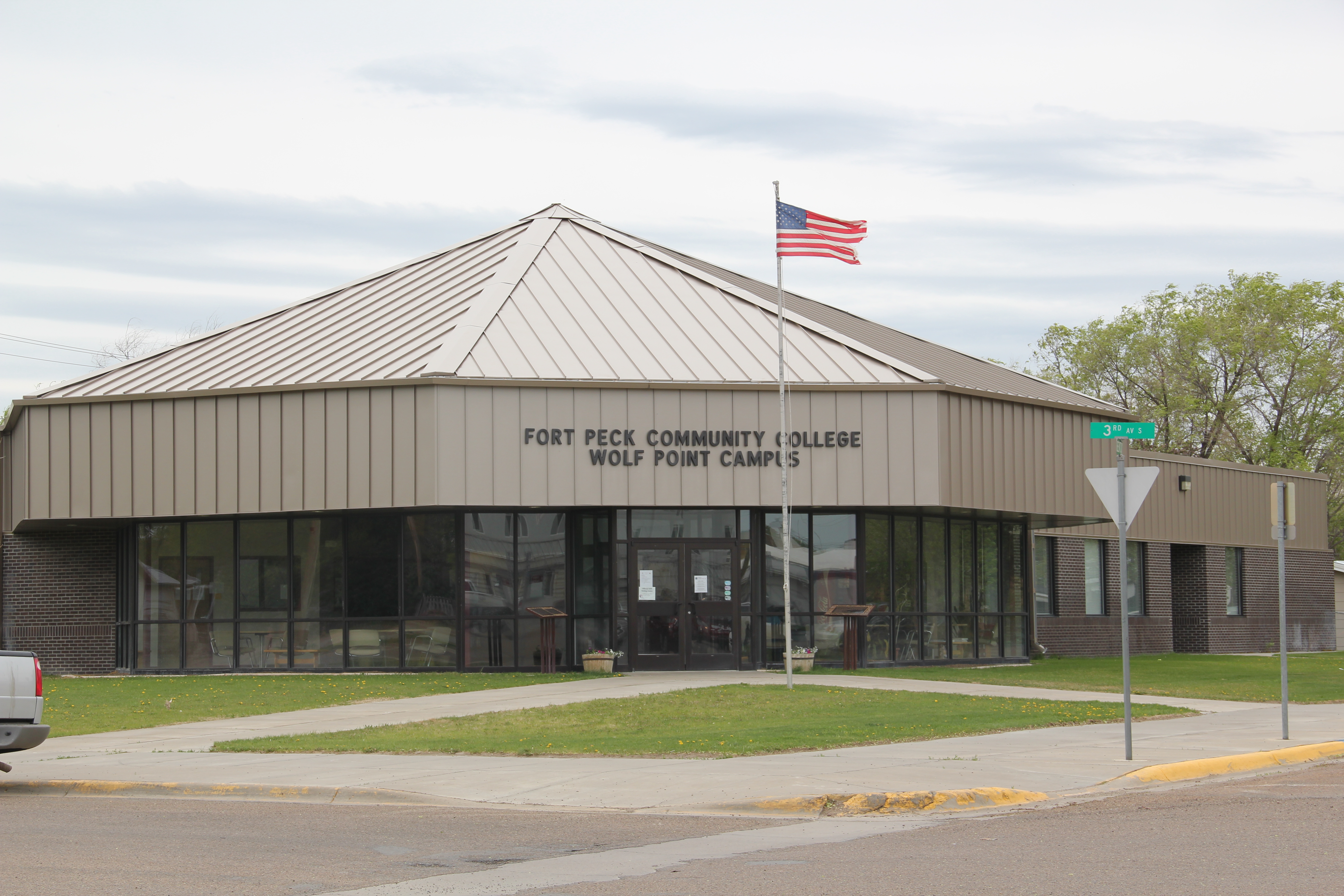
Yet the town retained its historic movie theater, and had recently expanded a local history museum that has a remarkable array of objects. Wolf Point in the 2010 census was about 1/2 Native American in population; the most impressive building added to the town since 1984 was the Fort Peck Community College.
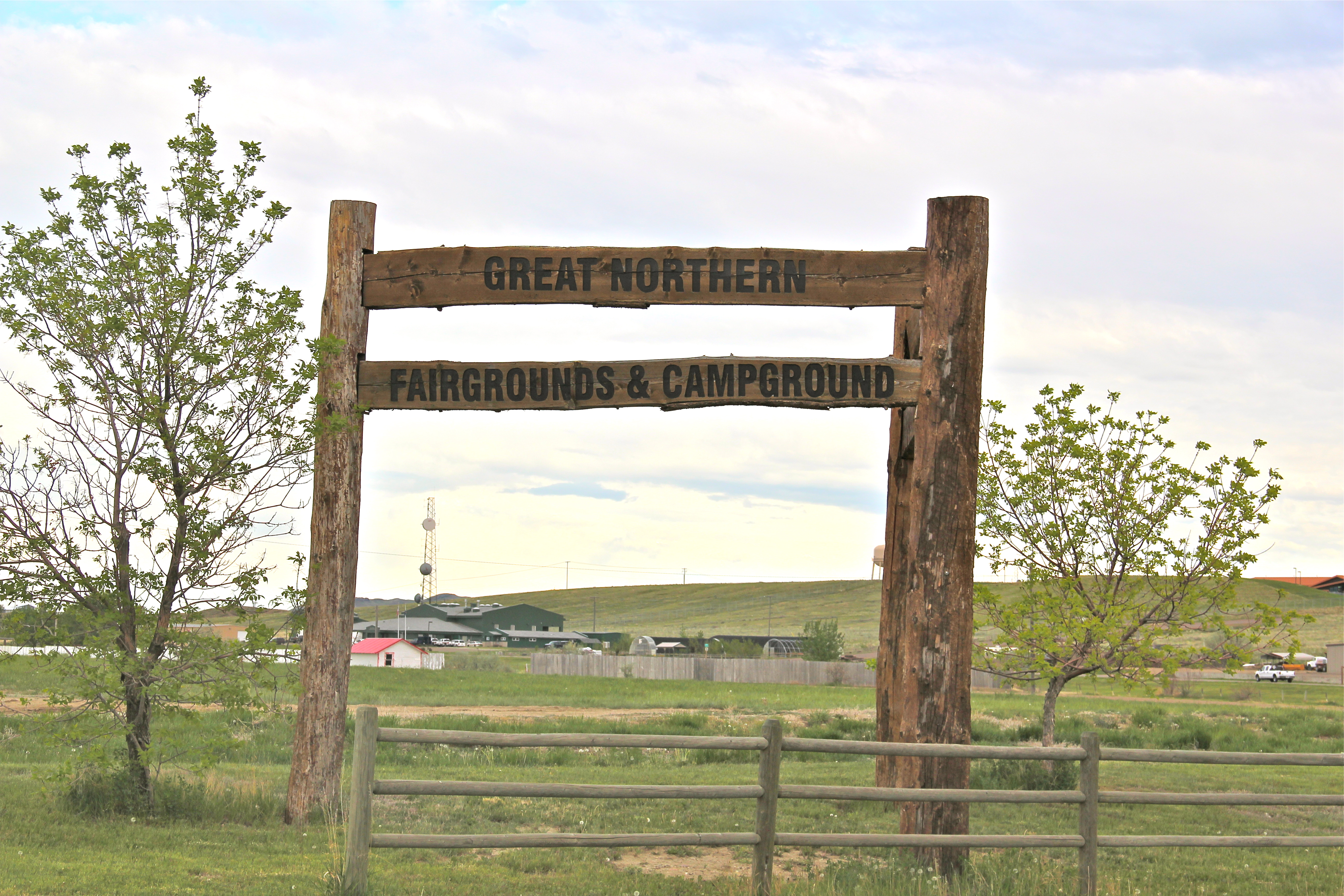
Wolf Point also had hoped to become the final landing spot for the Montana Cowboy Hall of Fame. It was a worthy contender not just for its open plains, but the Wolf Point Rodeo is among the state’s oldest, and the historic fairgrounds continue to host the “Wild Horse Stampede” every summer.

Smack in the middle of U.S. 2 is another monument to the Montana Cowboy, and a symbol of the hopes that the Hall of Fame would land in Wolf Point. This bronze statue titled Homage was executed by Floyd DeWitt and given to the town by the Fort Peck Assiniboine and Sioux tribes.

To travelers along U.S. 2 Wolf Point may be considered as one or two blinks and that it is, but the history here is deeper, and strongly felt. Yes it has the rails and the elevators to define the horizontal and the vertical but its landmarks continue to say: we’re here and we matter.