Great Falls Heritage Area, Part 4: Lewis and Clark

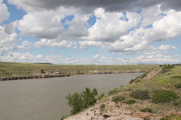
2011 MT Cascade County Great Falls 020The Missouri River runs through Cascade County and is at the heart of any future Great Falls Heritage Area.  This section of the river, and the portage around its falls that fueled its later nationally significant industrial development, is of course central to the story of the Lewis and Clark Expedition of 1803-1806.  The Lewis and Clark story was recognized when I surveyed Cascade County 30 years ago–the Giant Springs State Park was the primary public interpretation available then.  But today the Lewis and Clark story has taken a larger part of the public history narrative in Cascade County.  In 2003 the nation, state, and city kicked off the bicentennial of the expedition and that key anniversary date spurred the

IMG_1868

many new efforts to preserve and interpret the “whole story” of the expedition.  The designation of the Lewis and Clark National Historic Trail led to many upgrades in markers and interpretive signage across the state.  Then Great Falls became a center for trail interpretation through the opening of the Lewis and Clark Interpretive Center along the river banks not far from Giant Springs State Park.

2011 MT Cascade County Great Falls 023Despite federal budget challenges, the new interpretive center was exactly what the state needed to move forward the story of the Lewis and Clark expedition, and its many levels of impact of the peoples and landscape of the region.  The center emphasized the harrowing, challenging story of the portage around the natural falls of what became Great Falls but its
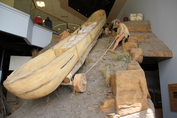
2011 MT Cascade County Great Falls 006exhibits and programs have significantly broadened our historical understanding of the expedition, especially its relationship with and impact on various Native American tribes from Missouri to Washington.

2011 MT Cascade County Great Falls 045The contribution of the interpretive center to a greater local and in-state appreciation of the portage route cannot be underplayed.  In the preservation survey of 1984, no one emphasized it nor pushed it as an important resource.  When threats of development came about in last decade, though, determined voices from preservationists and residents helped to keep the portage route, a National Historic Landmark itself, from insensitive impacts.

At the south end of the county, the state worked with the national historic trail to established Tower Rock State Park, which preserves and interprets an important natural landmark along the river and trail, which, in 1984, was not part of the public interpretation of the expedition.  It also created a valuable heritage asset easily accessible from Interstate I-15, meaning thousands of visitors have learned about the trail as they have rushed through the state.  These developments in the last 30 years to both preserve and enhance the understanding of the expedition are just the more obvious of the efforts to improve the trail as a real heritage asset for the city, county, and state.  We can only hope that a similar effort will emerge soon to re-energize the preservation and understanding of the next major military excursion through the region–the Mullan Road of the

2011 MT Cascade County Great Falls 075 Mullan Monument - Version 2late 1850s.  Hundreds pass by the monument near the civic center in the heart of Great Falls but this story is another national one that needs more attention, and soon than later.


The Sweet Grass of the Yellowstone Valley

IMG_6258

Sweet Grass County has one of the most spectacular landscapes of the entire state of Montana.  Located in the middle of the Yellowstone Valley, the county has long been a significant crossroads, from the prehistoric era to today.  At the county seat of Big Timber, Interstate Highway 90 (along with the historic route of old U.S. Highway 10) parallels the Yellowstone River.  The town is also the southern point of origin for U.S. Highway 191,

2011 MT Sweetgrass county 014

The Lazy J, near the intersection of U.S. 191 and old U.S. 10, is a classic bit of mid-20th century roadside architecture.

which strikes northward cutting across Central Montana and continuing until the highway ends at the Canadian border, north of Malta.

IMG_6331Established by the Northern Pacific Railroad in 1882-1883, Big Timber has the classic T-Plan town plat found on so many Northern Pacific towns.  But one reason I have long liked this place is the quirkiness of its town plan.  The depot and the elevators are where they

IMG_6329should be, forming the top of the “T,” but the beautiful early 20th century stone masonry Sweet Grass County Courthouse is neither on McLeod Street (the stem of the T) nor at the end of the T, dividing the town’s commercial area from its residential neighborhood.  No, it IMG_6333is a block west of the intersection of McLeod Street and old U.S. Highway 10–an uncommon arrangement of public space in northern plains railroad towns.  A public park

IMG_6314

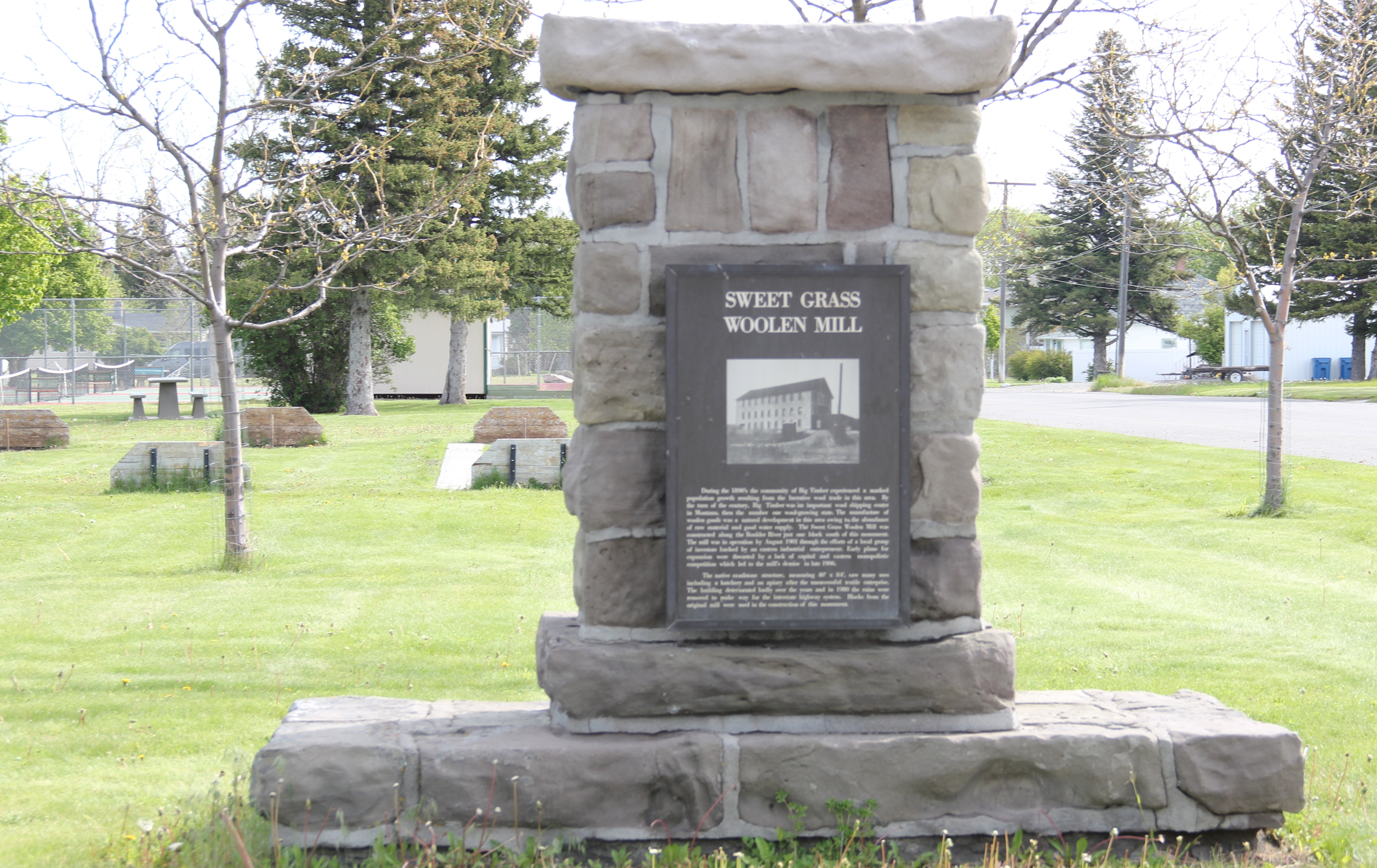
effectively marks the end of the historic town.  When I first surveyed the town in 1984, I found that an old 1946 highway marker for the Lewis and Clark Expedition had been moved to the park a year prior to my visit, and the interpretive sign told me that the town had a sense of its place in history.  In the decades since, residents have added a monument to the town’s early wool industry along with a bronze sculpture, titled “Free Spirit” by Dave Hodges, linking the place to the open spaces and cowboy culture of the valley.  Coming soon will be the new headquarters for the Montana Cowboy Hall of Fame, an institution that searched high and long for a home until finding Big Timber.

IMG_6316

IMG_6313

IMG_6271Public interpretation through art is another change I encountered in Big Timber.  The most striking dates to the Lewis and Clark Bicentennial at the start of this century.  On the walls of the local grocery store are three panels telling the story of the expedition in Sweet Grass County as the men encountered the confluence of the Boulder and Yellowstone rivers.  IMG_6296On another commercial building near the intersection of U.S. 191 and old U.S. 10 was an unexpected surprise:  a mural recreating–or is it reinterpreting–the famed Milwaukee Road promotional poster from the turn of the 20th century that encouraged homesteaders

IMG_6267to head to Montana. Oddly the reproduction mural gives the Northern Pacific corporate emblem but the route shown is the Milwaukee’s route, admittedly also showing where the two lines ran side by side in parts of the Yellowstone Valley.

IMG_6290

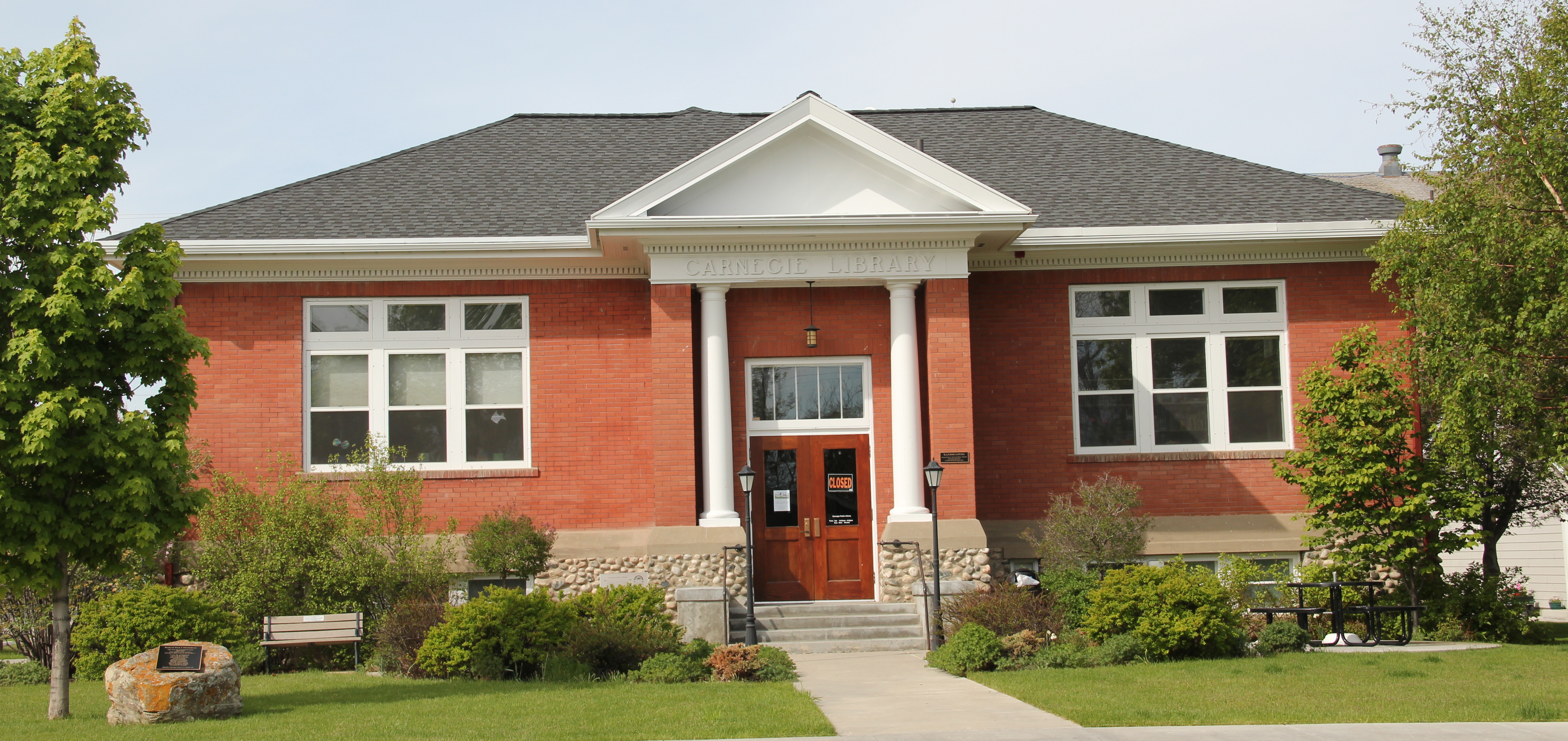
Public interpretation has not extended into an intensive involvement with the National Register of Historic Places.  In 1984, only one property–a segment of the Bozeman Trail where it crossed the Yellowstone–in the county was listed, and that stood on Sweet Grass’s far western border to Park County.  Then, right after I had finished the project, the iconic western hotel, The Grand, was listed in the National Register.  In the 30 years, a handful of Big Timber landmarks also have been designated on the National Register:  the Classical Revival-styled Carnegie Library, St. Mark’s Episcopal Church, and the Big

IMG_6324

Sweetgrass Co Big Timber 6 - Version 2 IMG_6306Timber City Hall.  Little doubt these landmarks are cherished–when more library space was necessary this century the expansion of the historic building was done appropriately, keeping this landmark in service for decades.

IMG_6308But when you consider just how intact the town’s historic environment from the 1880s to the 1950s is today, you think a National Register historic district nomination in order, or at least one for the historic commercial district, which has a wonderful array of building types, designs, and, luckily for Big Timber, open businesses, including one of my favorite bars in all of the state–at least favorite bar signs–the Timber Bar.

IMG_6273

IMG_6274

IMG_6275IMG_6284The next post will look deeper in the historic buildings of Big Timber, and then stretch north to a real jewel, the Melville Lutheran Church.

Crossroads of history: where the Yellowstone and Powder rivers meet

IMG_7120
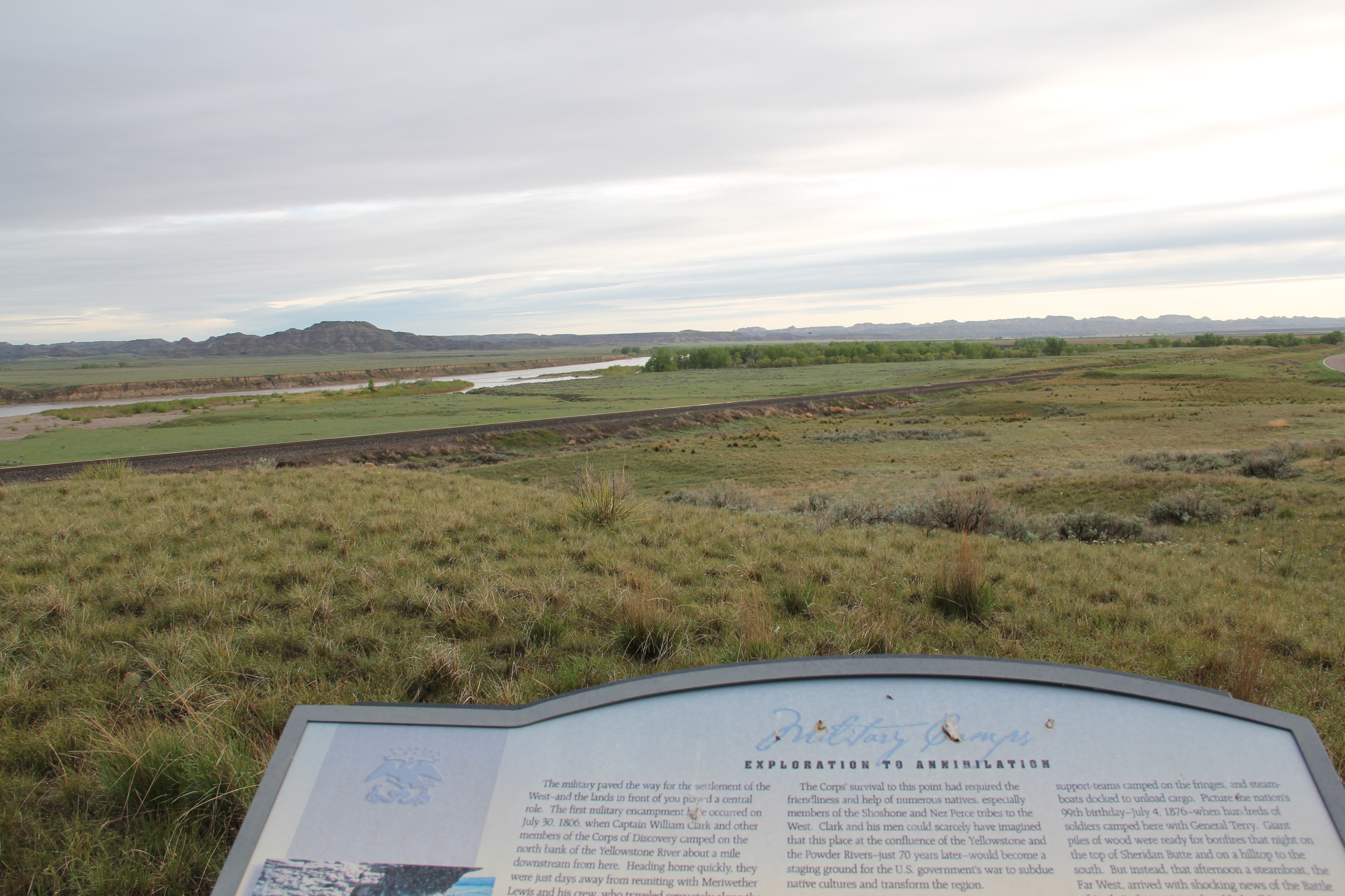
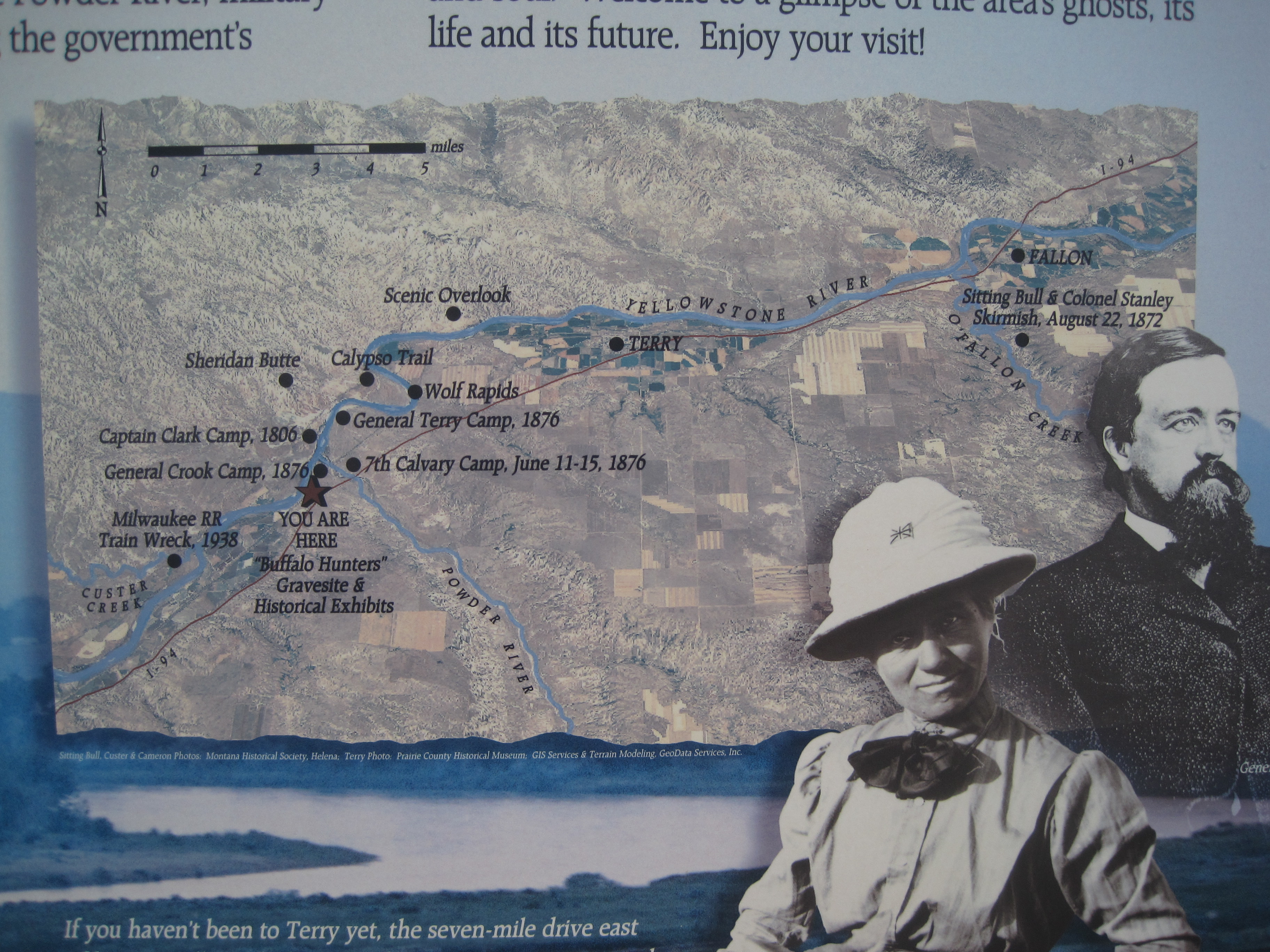
The confluence of the Yellowstone and Powder rivers in Prairie County, Montana, is among the most important places of the American West. Thirty years ago, in my work for the Montana state historic preservation plan, I went to that spot, easily viewed from old U.S. Highway 10, and found only a couple of lonely graves–marked by the county historical society–of buffalo hunters who had ranged this land in the late 1870s. That night, at my public meeting at the Prairie County Museum in Terry, I brought up that place to the folks gathered there, chiding gently, I thought, that there should be some highway markers to direct visitors to that spot, that it was very important and quite a compelling view of the landscape itself. What happened next was a laconic comment that I have told on myself ever since: one community member just replied: “Son, we know where they are.” Of course–I have never forgotten that lesson–locals do know where their history took place; markers are necessary, not for them, but for us, the outsiders, the visitors.
IMG_7119
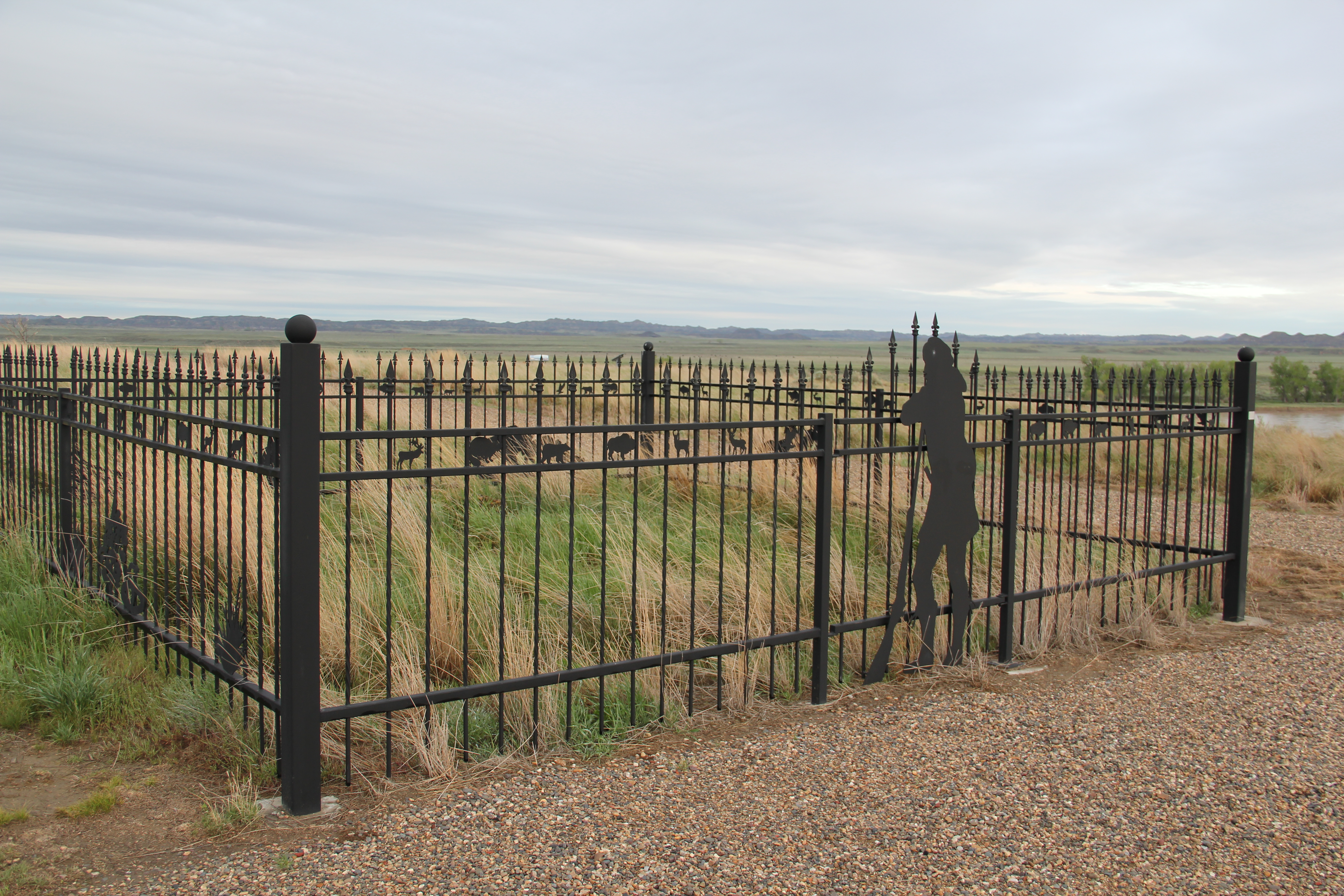
Fast forward 30 years, and the confluence is no longer neglected–now it is one of the best interpreted landscapes in eastern Montana. The Prairie County Grazing District worked with the Montana Department of Transportation and other partners to create a graveled pull-off from the old highway, and then installed not only an appropriate fence around the graves, but also several interpretive signs that tell the multi-layered history of the site.
IMG_7123
The story here is big, and the markers do a solid job of capturing it, from the early Native American history to the coming of Captain William Clark during the Lewis and Clark expedition, the later fur trading era of the mid-19th century, and then the marks you can still see on the landscape made first by the Northern Pacific Railroad in the early 1880s and from the federal highway era of the early 20th century. It gives particular focus to the Sioux War of the 1870s and how this spot served as a base–known as the Powder River Depot–for 1876-1877 military actions by Terry, Crook, Custer, and others. A good way to access the river is by the Powder River Depot Fishing Access site.
IMG_4223
Nearby, back on the highway, is a key transportation landmark, the Northern Pacific Railroad bridge over the Powder River–it was the railroad that introduced a new era of settlement and development into this region. And I will return to the theme of the railroad and its significance as we continue westward to Miles City.
IMG_7125

Lewis and Clark and finding the “true Missouri” at Loma, Montana

Image

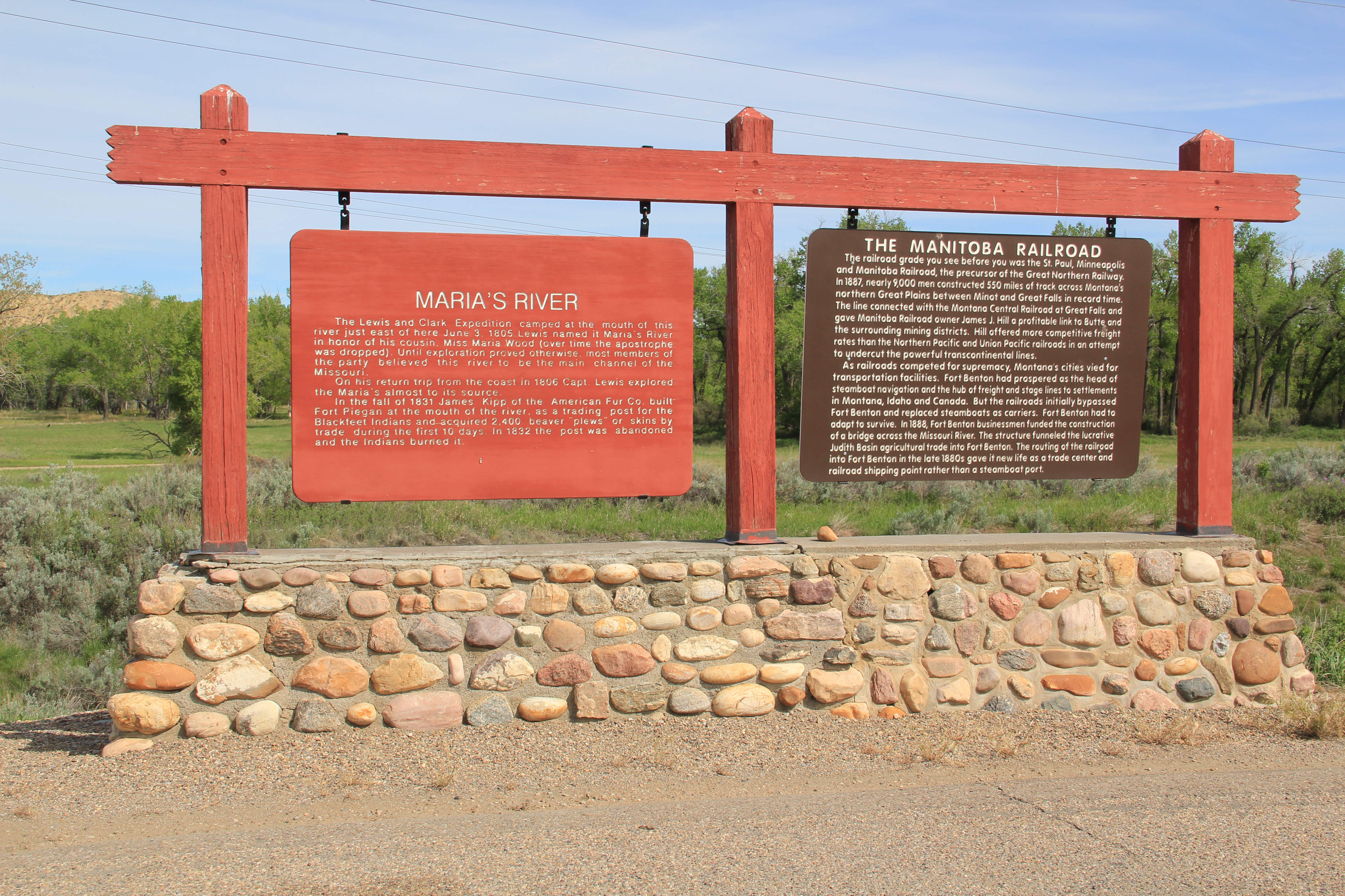
During the early weeks of fieldwork in northern Montana in 1984, I certainly had notes and reminders to document sites associated with the Lewis and Clark expedition.  Here was one part of the region’s history that had been given its due by generations of historians, and the brown Pathfinder-themed markers of the Lewis and Clark Trail made the historic route one of the state’s most recognizable heritage assets.  Yet as I left Hill County and moved into Chouteau County, heading toward Fort Benton, there was little to mark the story along the Marias River and the decision that the expedition made regarding the “true” path westward–the Missouri River or the Marias River (the latter they had not expected to encounter).  There was a state highway marker at Loma, but that seemed not enough, considering the importance of the events on the Marias and the high integrity of this historic landscape.

Image


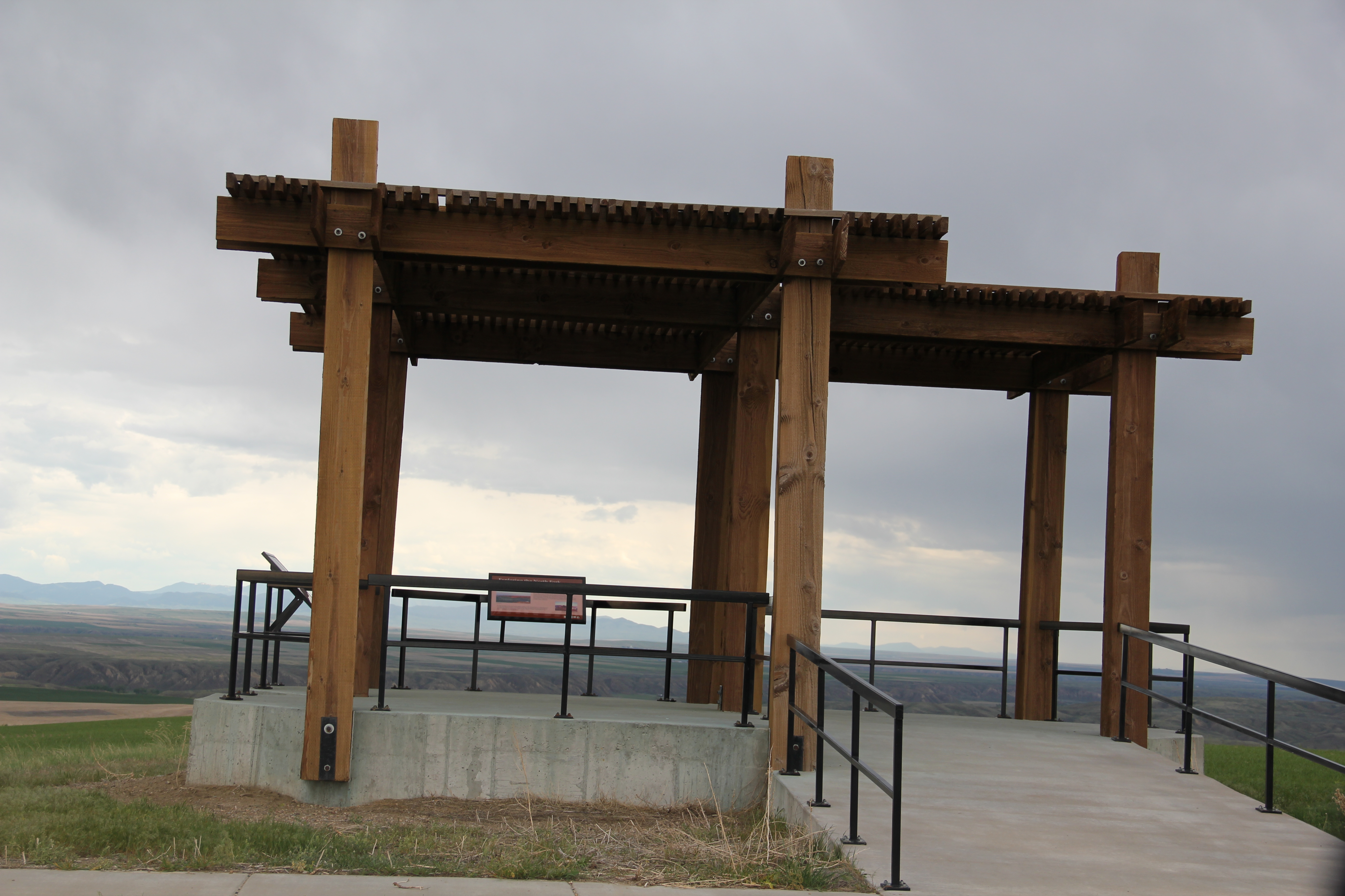
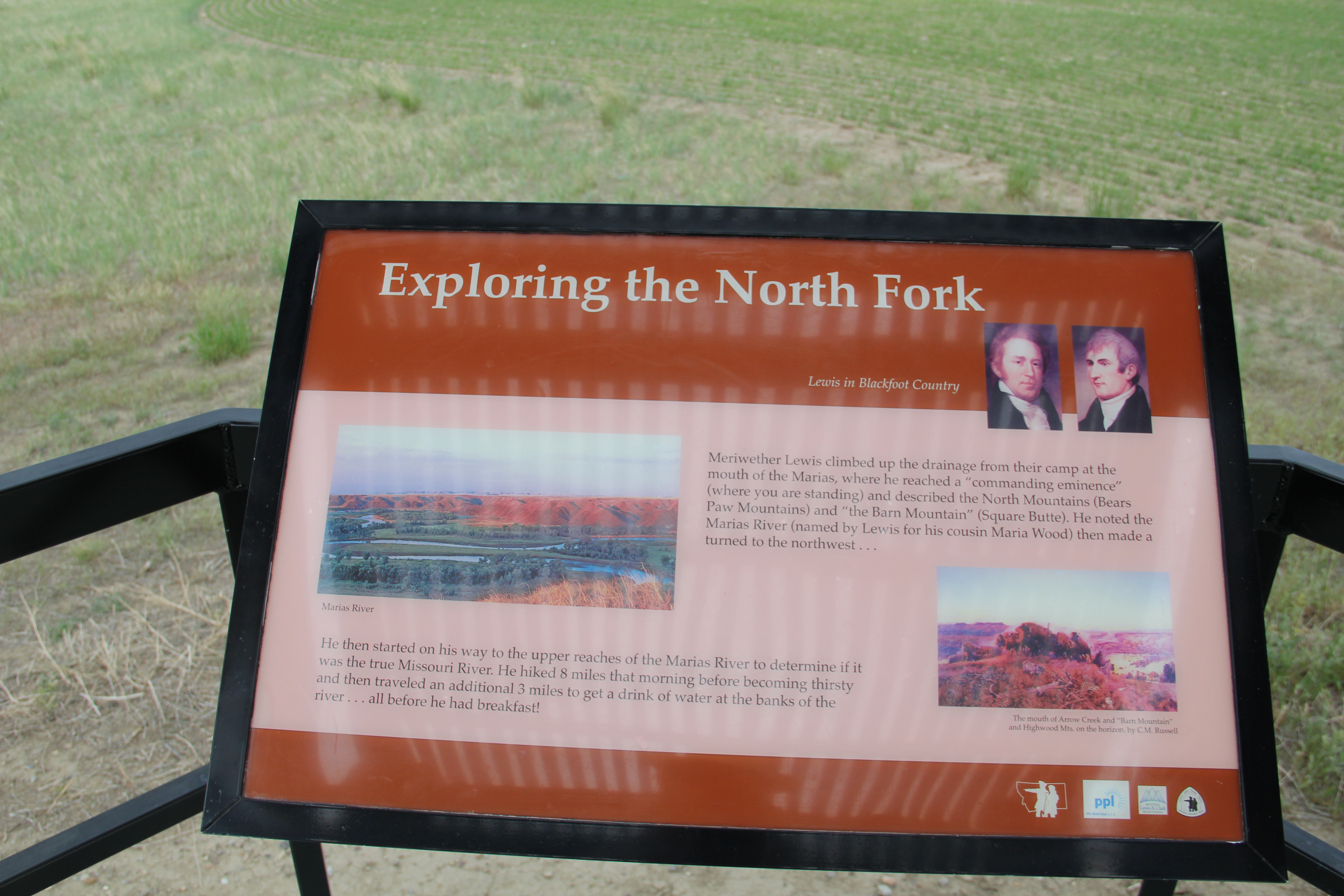
Opportunities not gained during the Lewis and Clark sesquicentennial in the 1950s were not missed during the bicentennial of the past decade.  As you approach the highlands above Loma, a major new interpretive kiosk not only presents a compelling view of the Marias landscape, it also interprets the significance of the location.

Image

Image Image


Here is an example of the partnerships now driving the interpretation of the Lewis and Clark Trail:  the Lewis and Clark National Historic Trail of the National Park Service being the most important, bringing a consistency of design and message to the interpretation.

Image 

With these partnerships, working with property owners, in place, visitors can experience such key sites as Decision Point, at the confluence of the Missouri and Marias rivers, where the expedition made the correct choice and followed the “true Missouri” westward.  Loma, rather than being a neglected place in the Lewis and Clark story, now has become a centerpiece of the region’s interpretation, thanks to new visions and new installations in the 21st century.

Image