Joplin today has a population hovering around 150, a decline of about 50 since 2000. E. C. Tolley, a real estate locator during the homesteading boom and Joseph E. Rehal, a Syrian-born merchant who made the biggest initial investment, are jointly credited with establishing the town. In fact, they promoted rival parts of town, which led to uneven and scattered business development. In a history of Liberty County, Art LaValley recalled: “The Commercial Club was very active in promoting the town of Joplin. They erected a large, new sign by the railroad crossing, facing the depot so that people getting off the train would see it. It was a picture of the world and read ‘Biggest Little Town on Earth.’”

Joplin sign, 1984
Another contribution of the Commercial Club was the creation of a town square park, complete with bandstand: the Joplin Community Band was popular throughout the region, until it disbanded in 1937. Two years later in 1939, famous be-bop jazz artist, saxophonist Charles McPherson was born in Joplin.

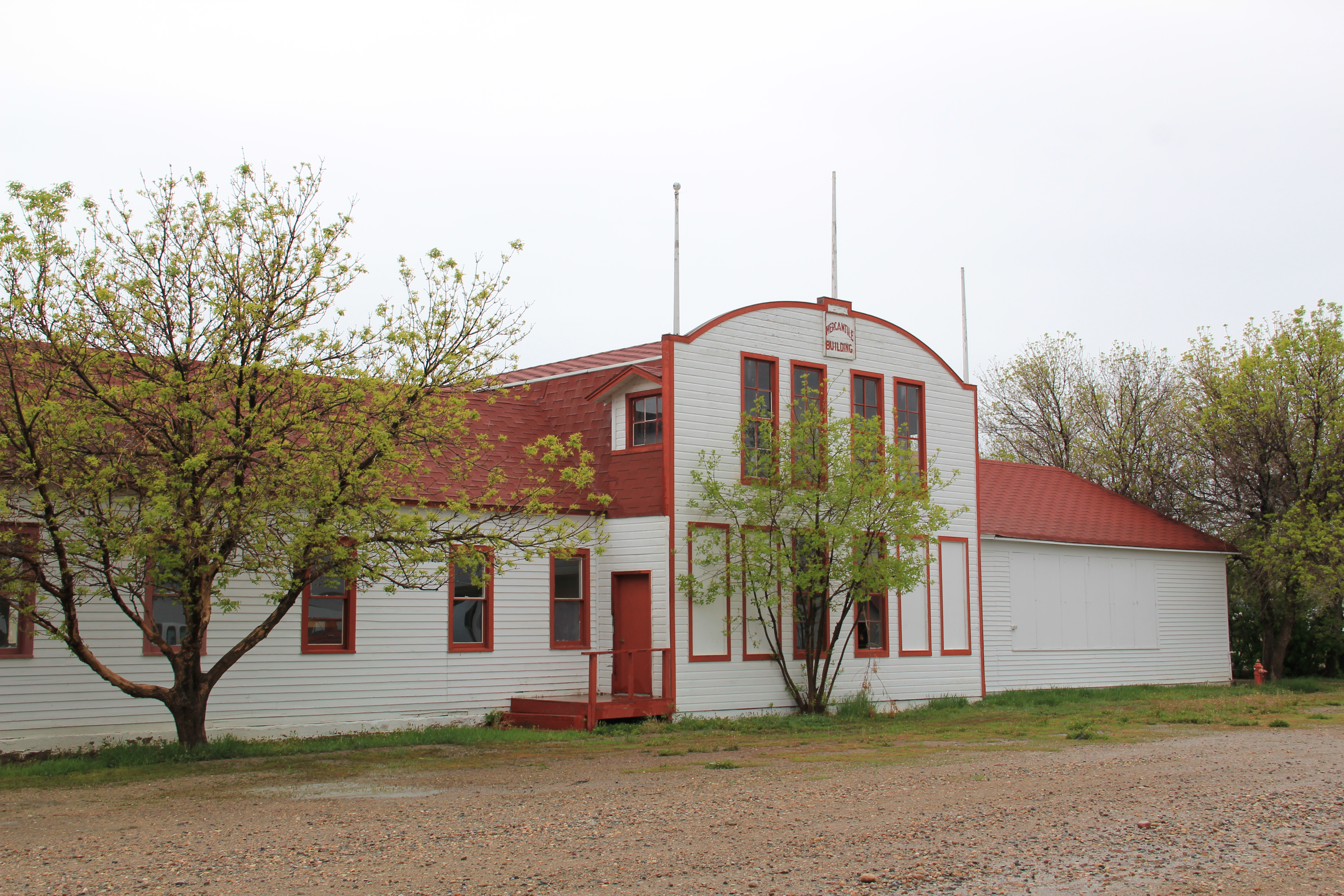
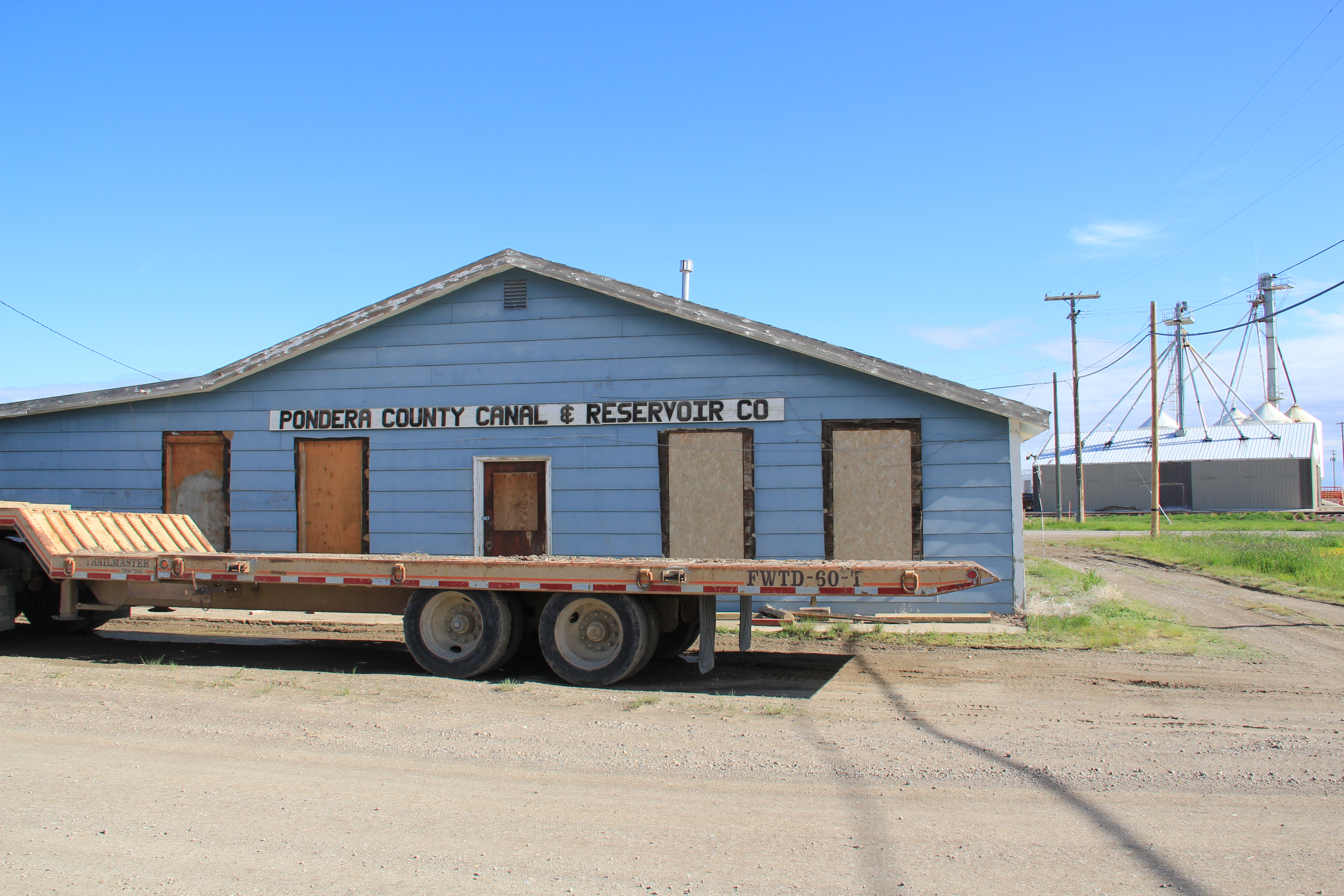
Like most of the Great Northern towns of the decade, Joplin began well as homesteaders came quickly. By 1913, O.C. Boggs of Joplin wrote a testimonial for his huge Nicholas-Shepard Oil-Gas Tractor: “we are pulling six 14-inch Oliver Engine Gang Plows in sod. Our average work is 15 acres per day of ten hours” The First State Bank of Joplin opened its doors,along with many other mercantile and professional offices. In 1916 Jensen Brothers and Layton hardware stores went into partnership to take advantage of the agricultural boom. The drug company came in 1917. 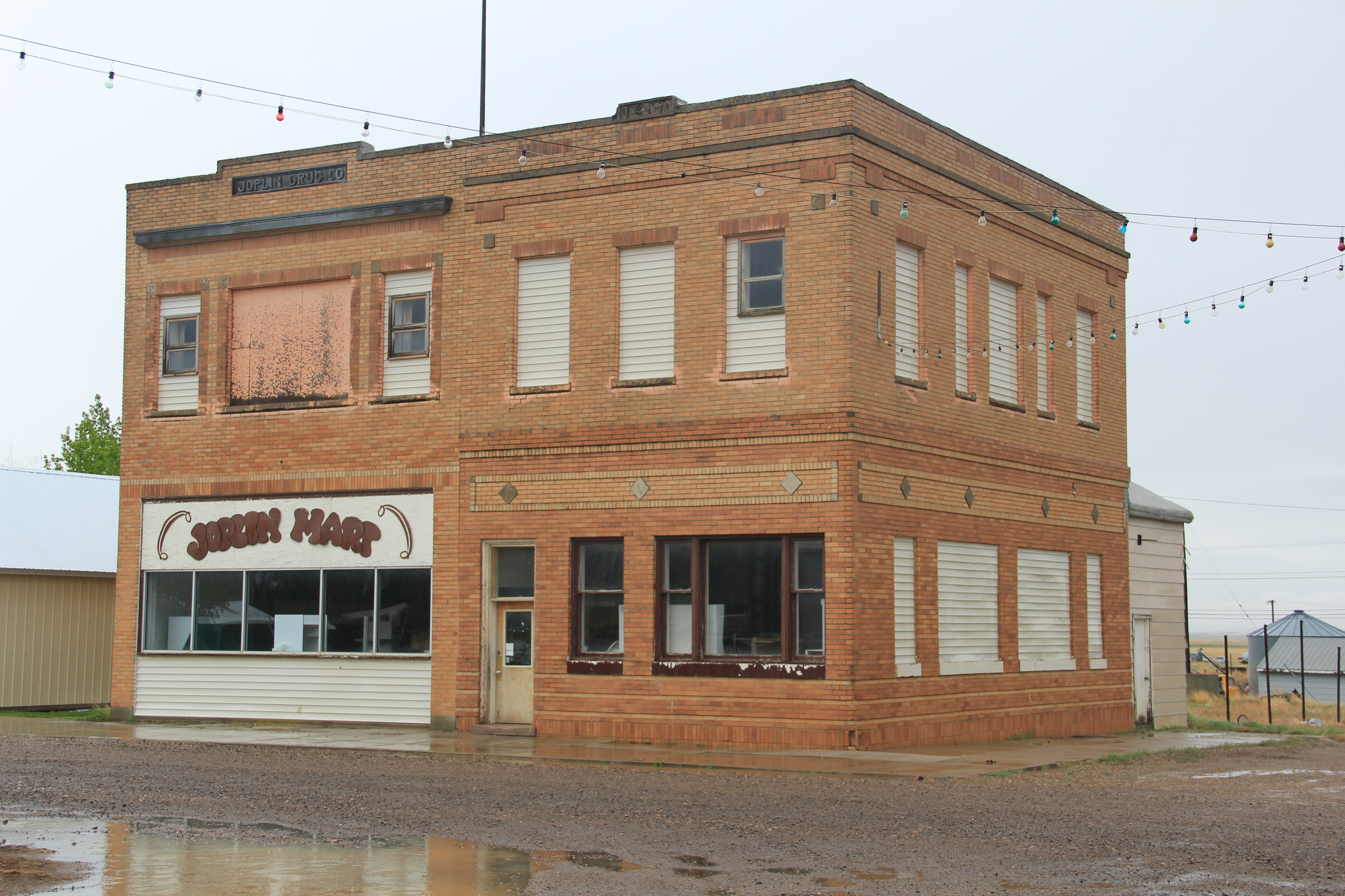
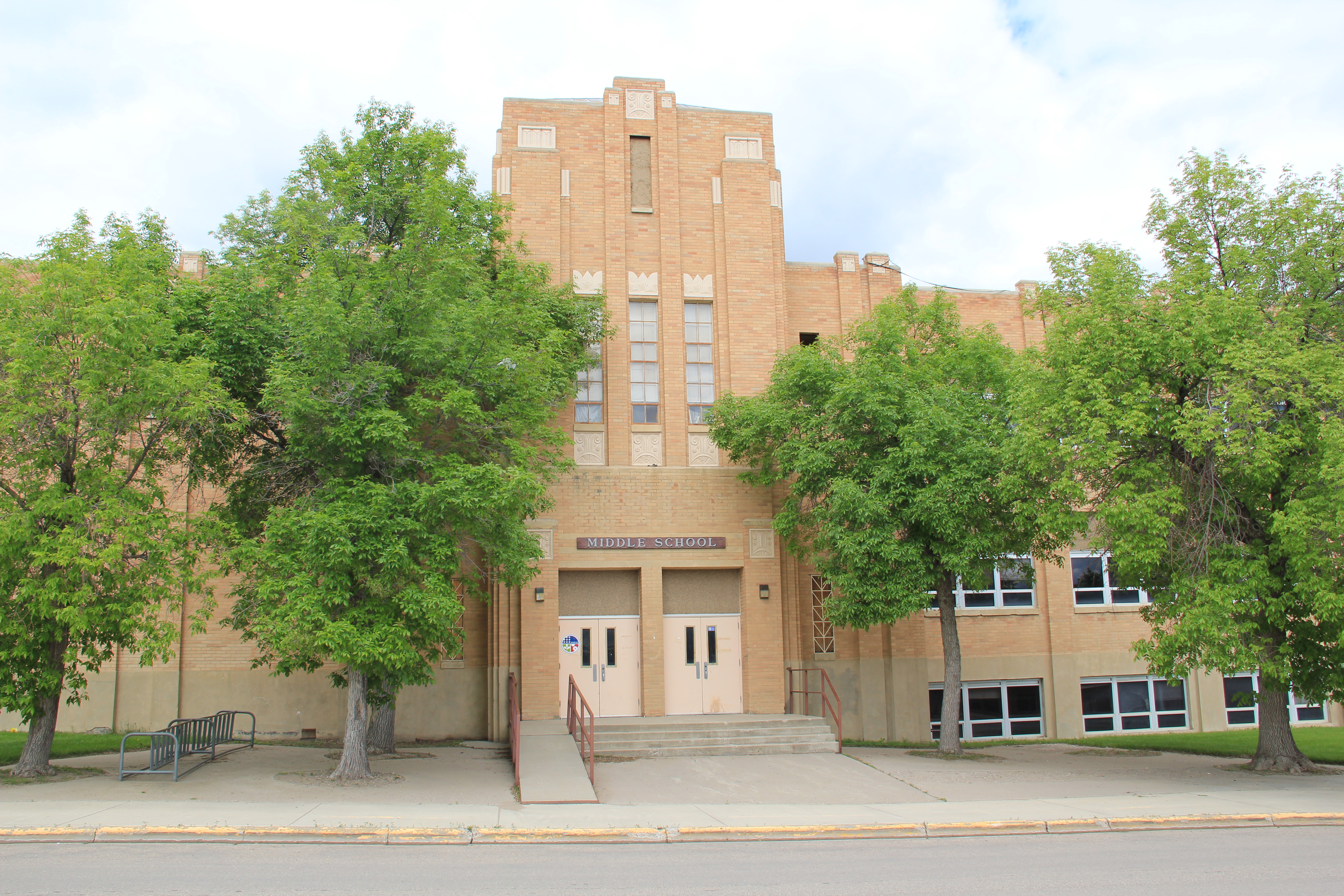
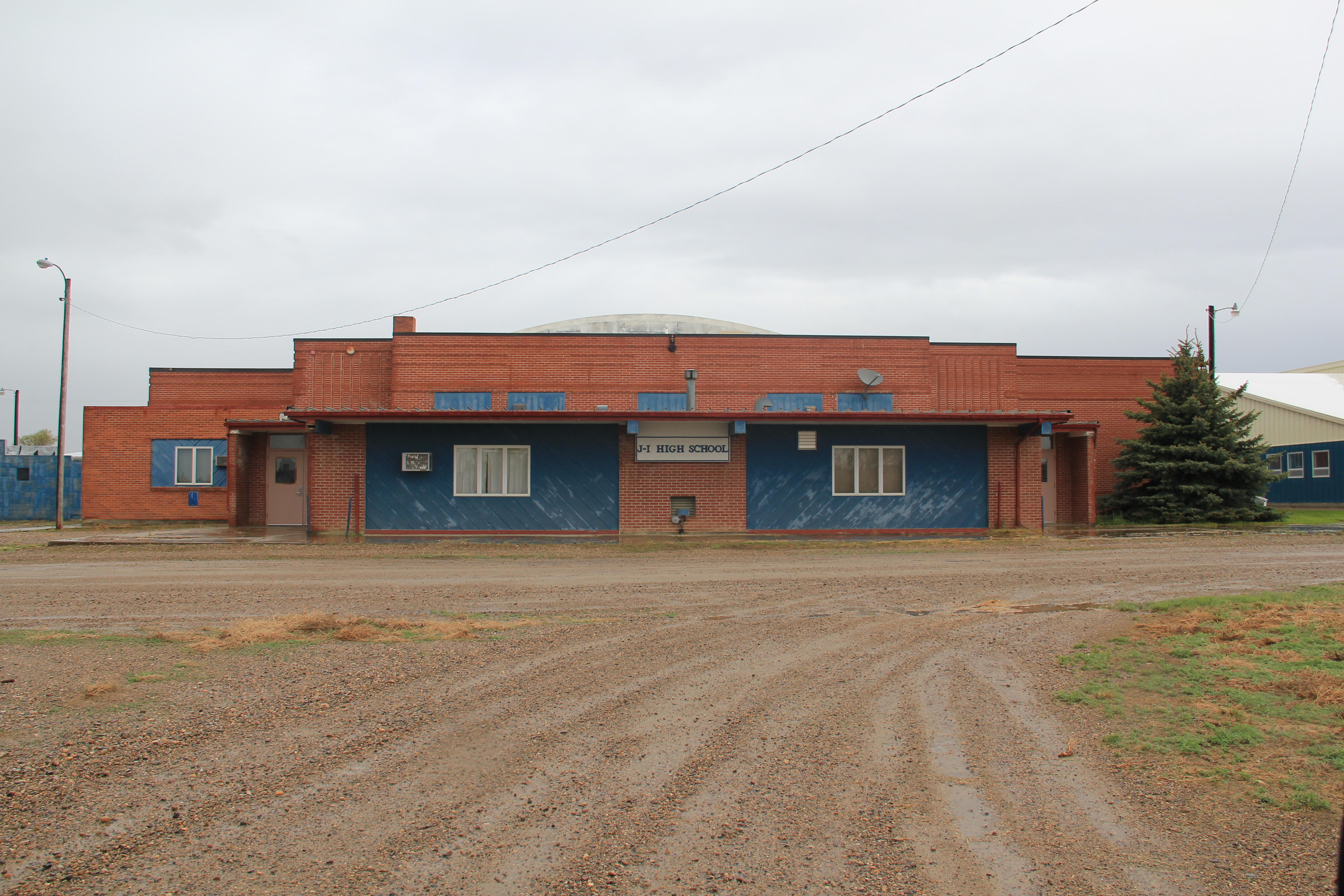
But drought hit this area hard in the late 1910s. In the 1920s the boom had busted, not just because of the agricultural crash. There was the matter of the Dempsey heavyweight fight in Shelby in 1923. Losses there impacted the local bank, which closed in 1923 just days after the fight. The New Deal brought new hope in the mid-1930s when the PWA helped to fund a new brick school and the WPA funded sidewalks.
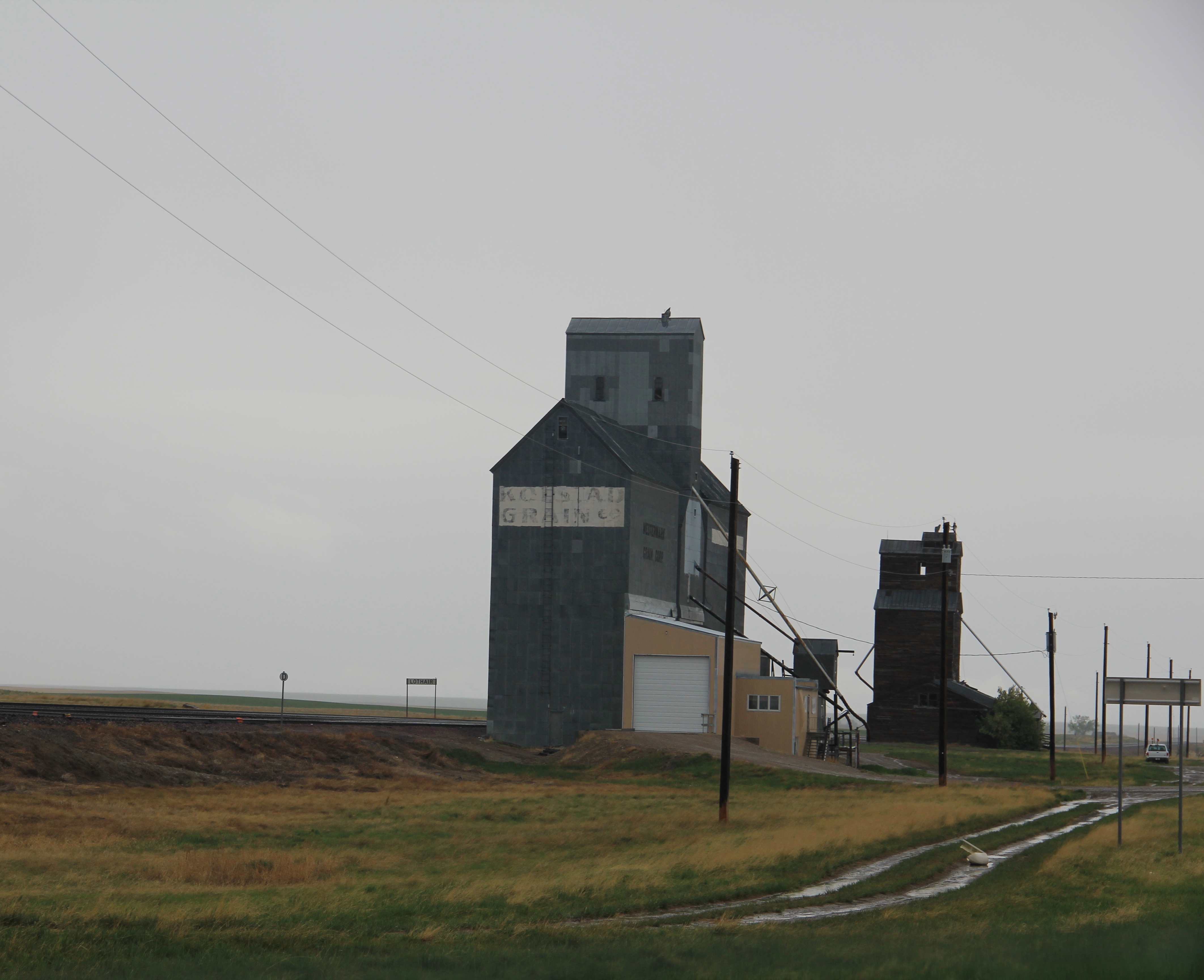
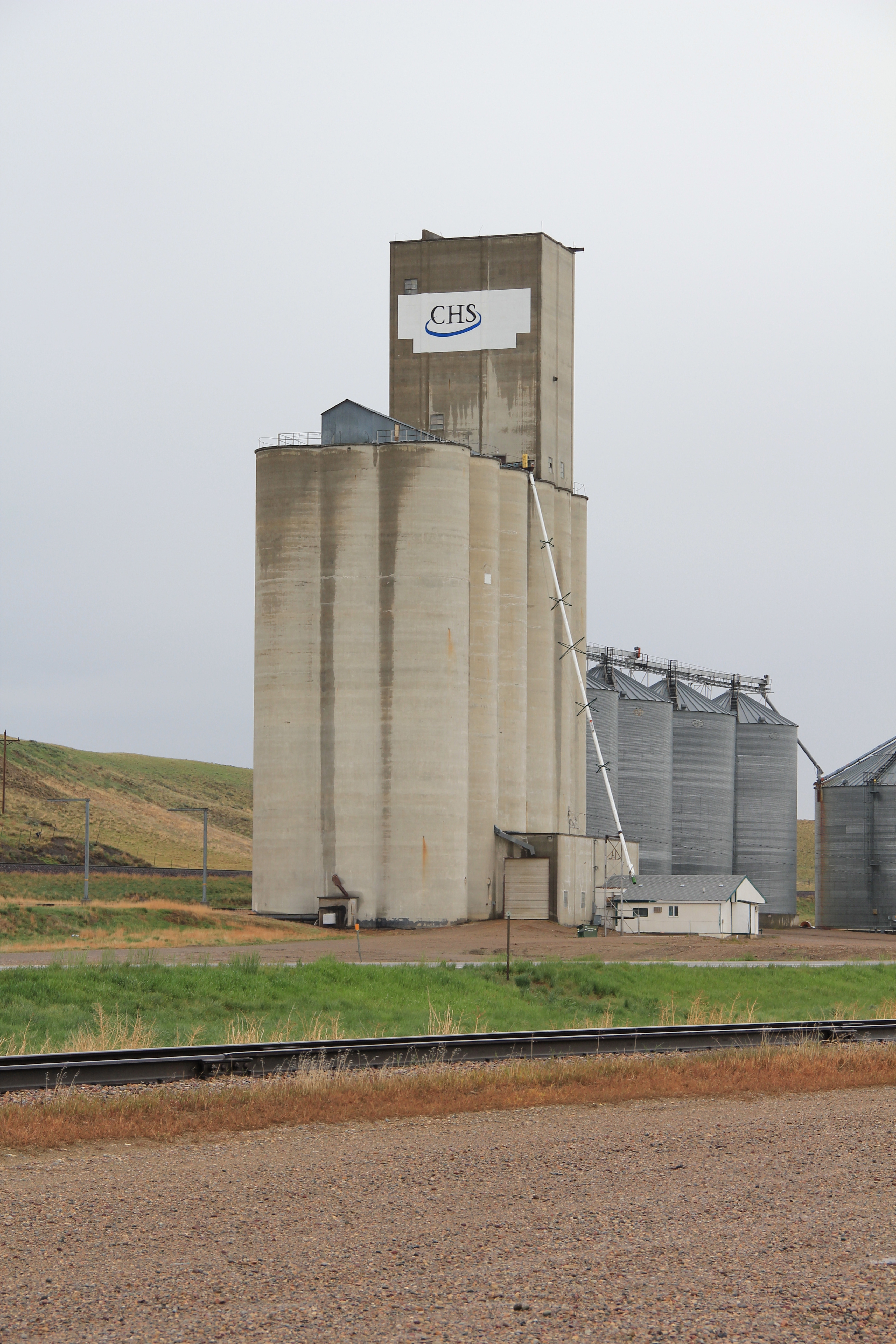
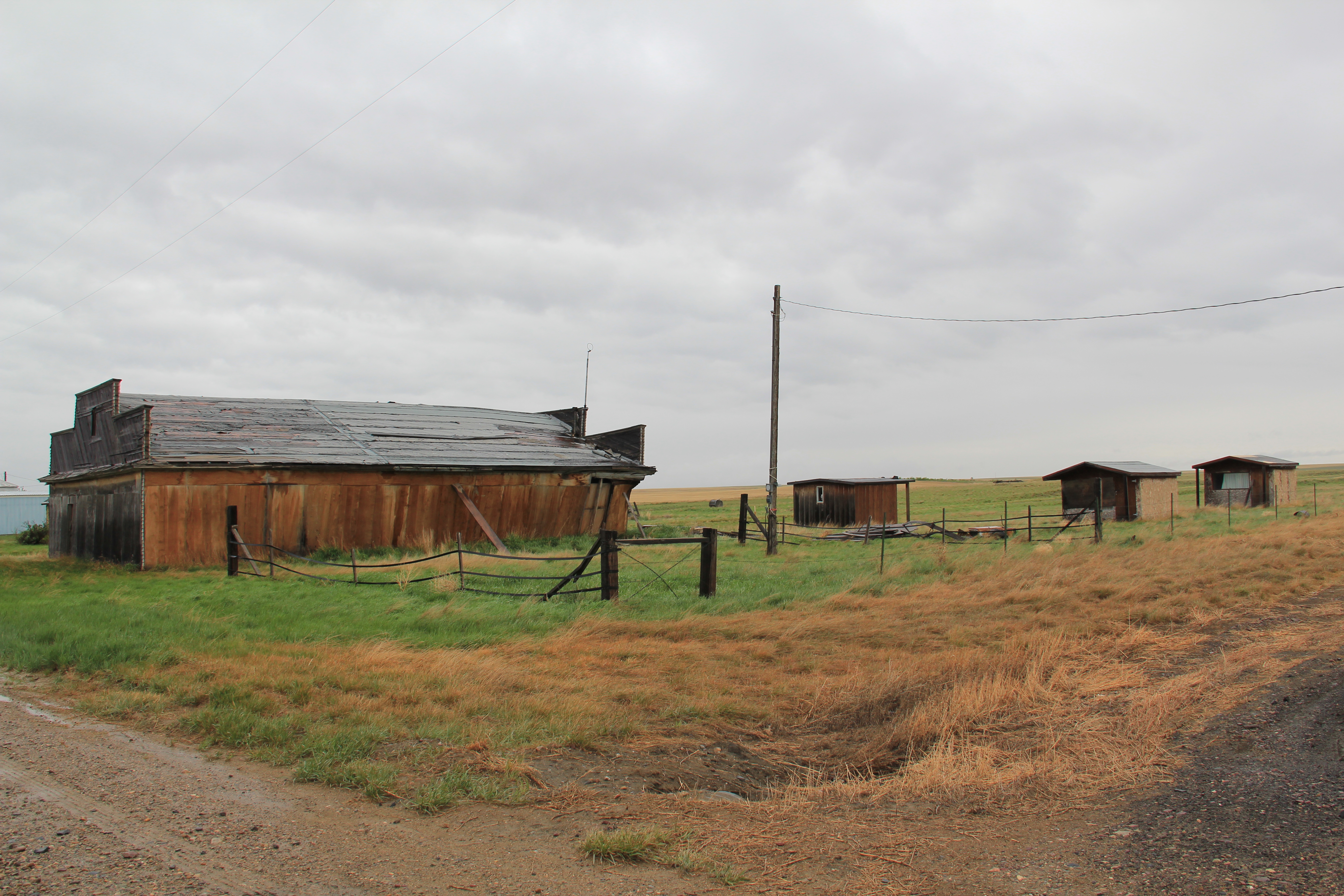
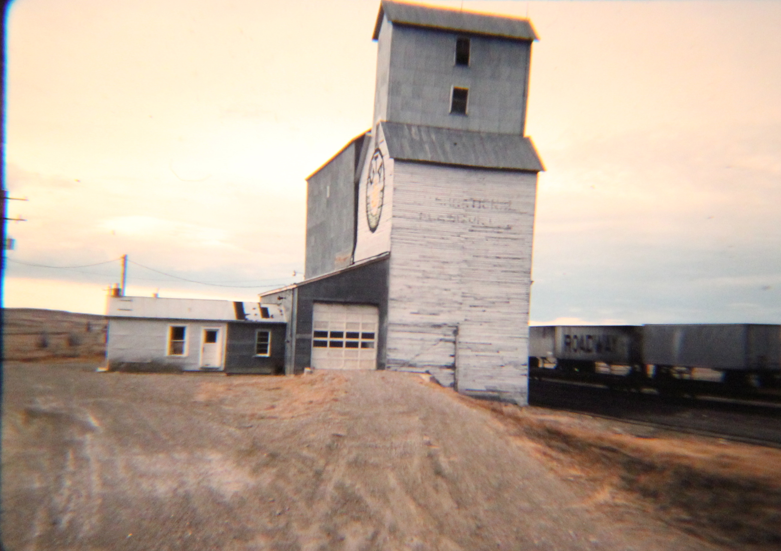
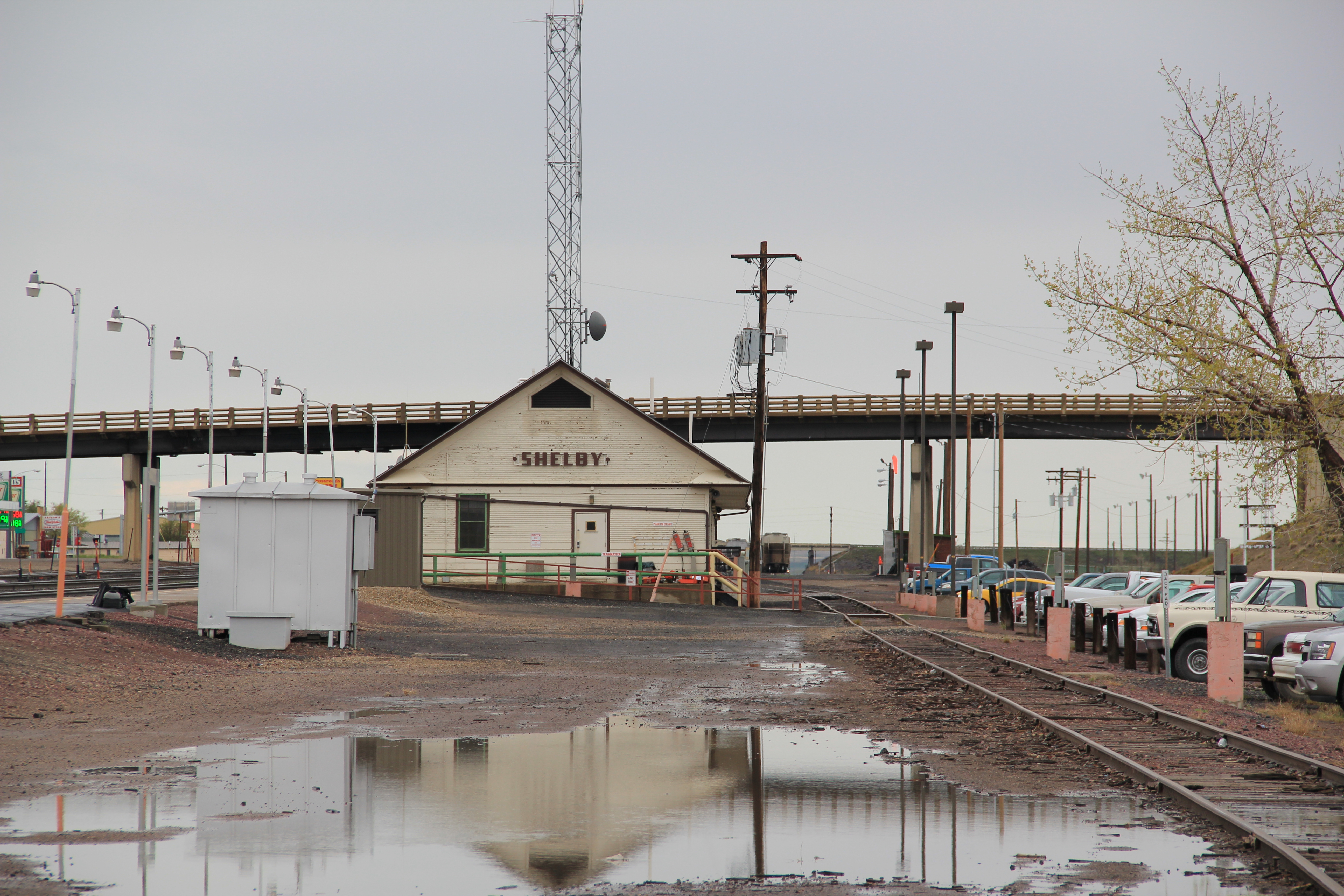
 I had not been in Joplin since 1984 when I visited in 2013: many landmarks were missing or closed. The Great Northern depot was gone completely. Today there is nothing but the tracks and grain elevators
to remind one of the town’s lifeblood. Then the school closed in 2005 and Joplin joined the consolidated school system in Chester.

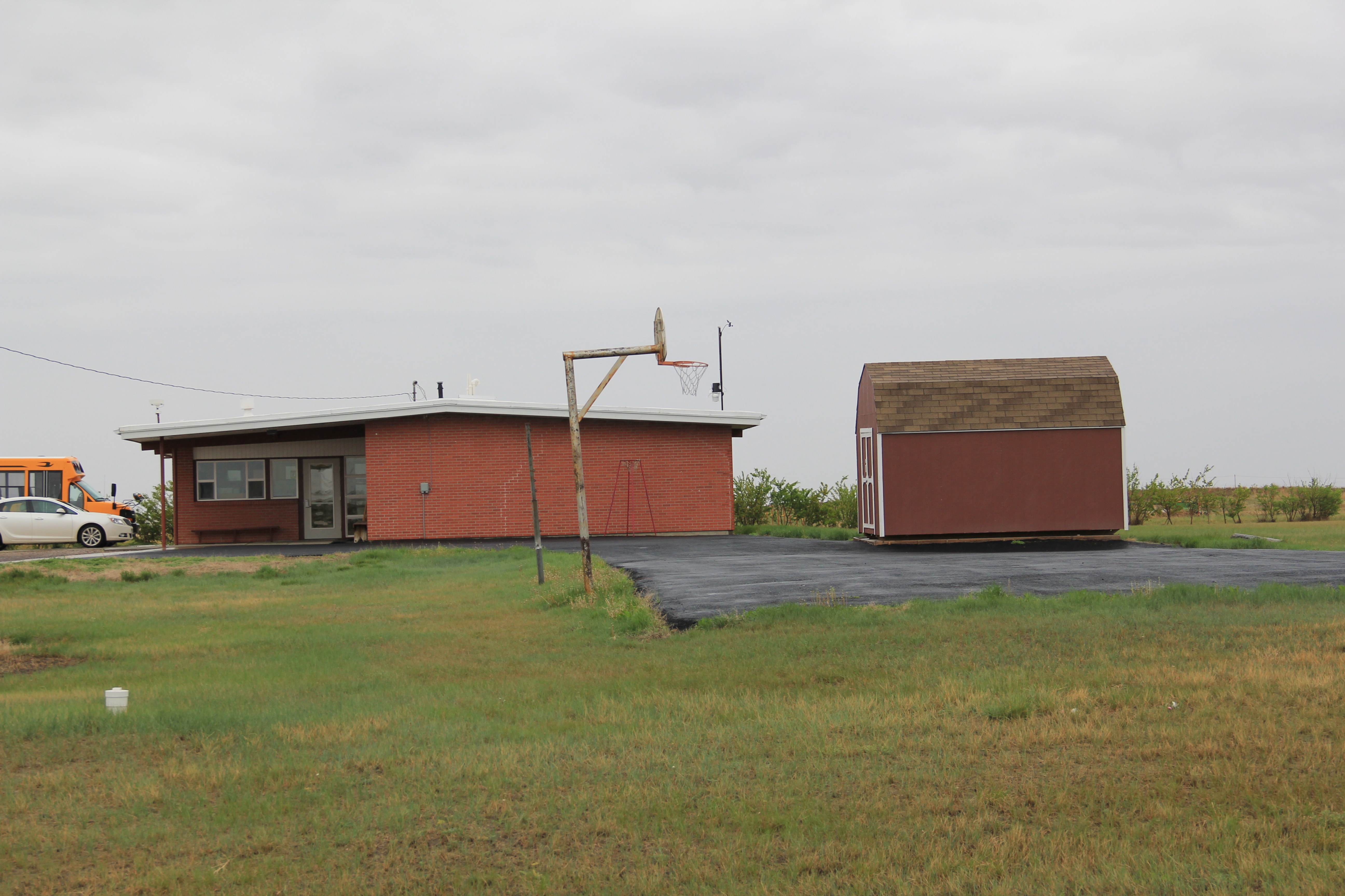
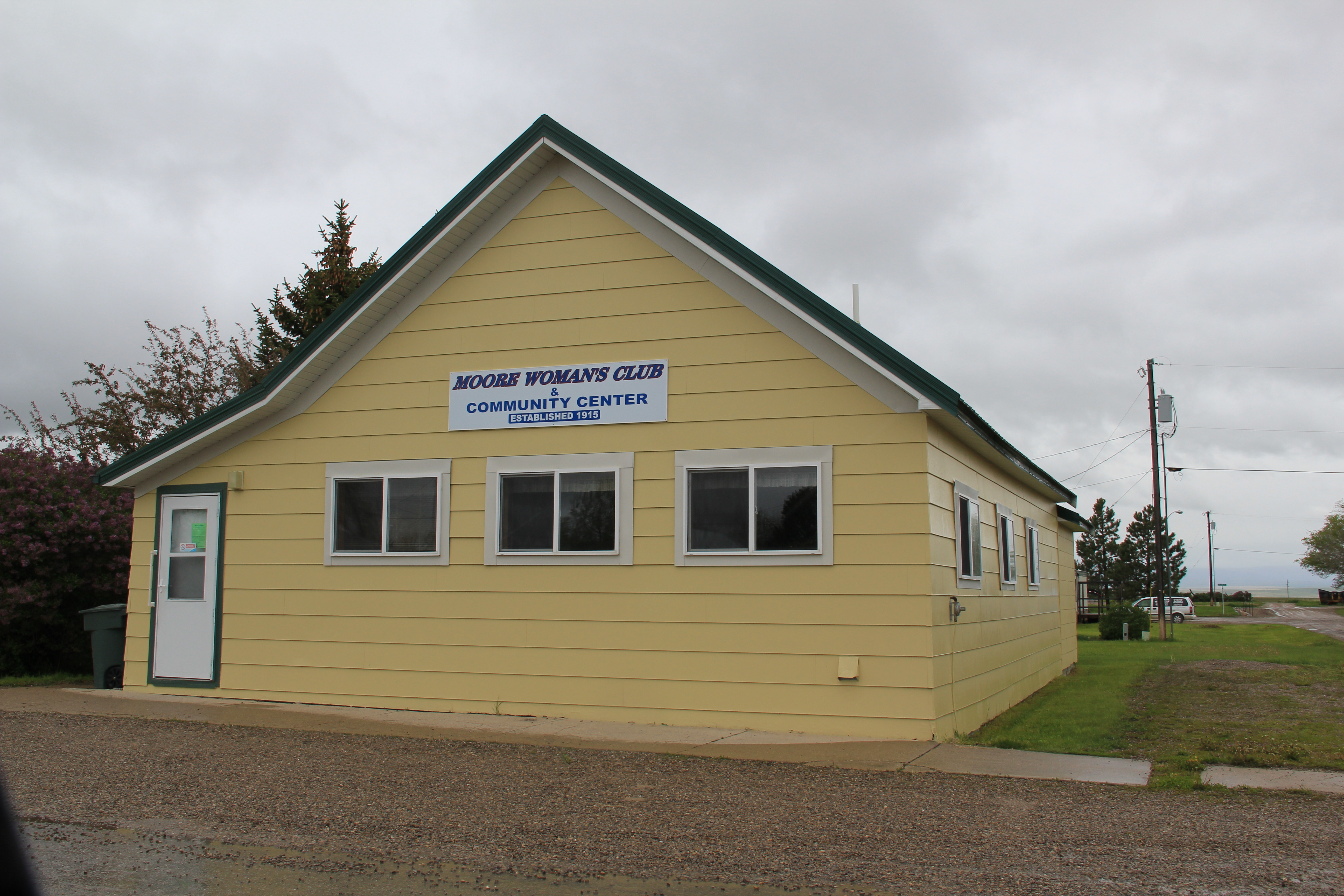
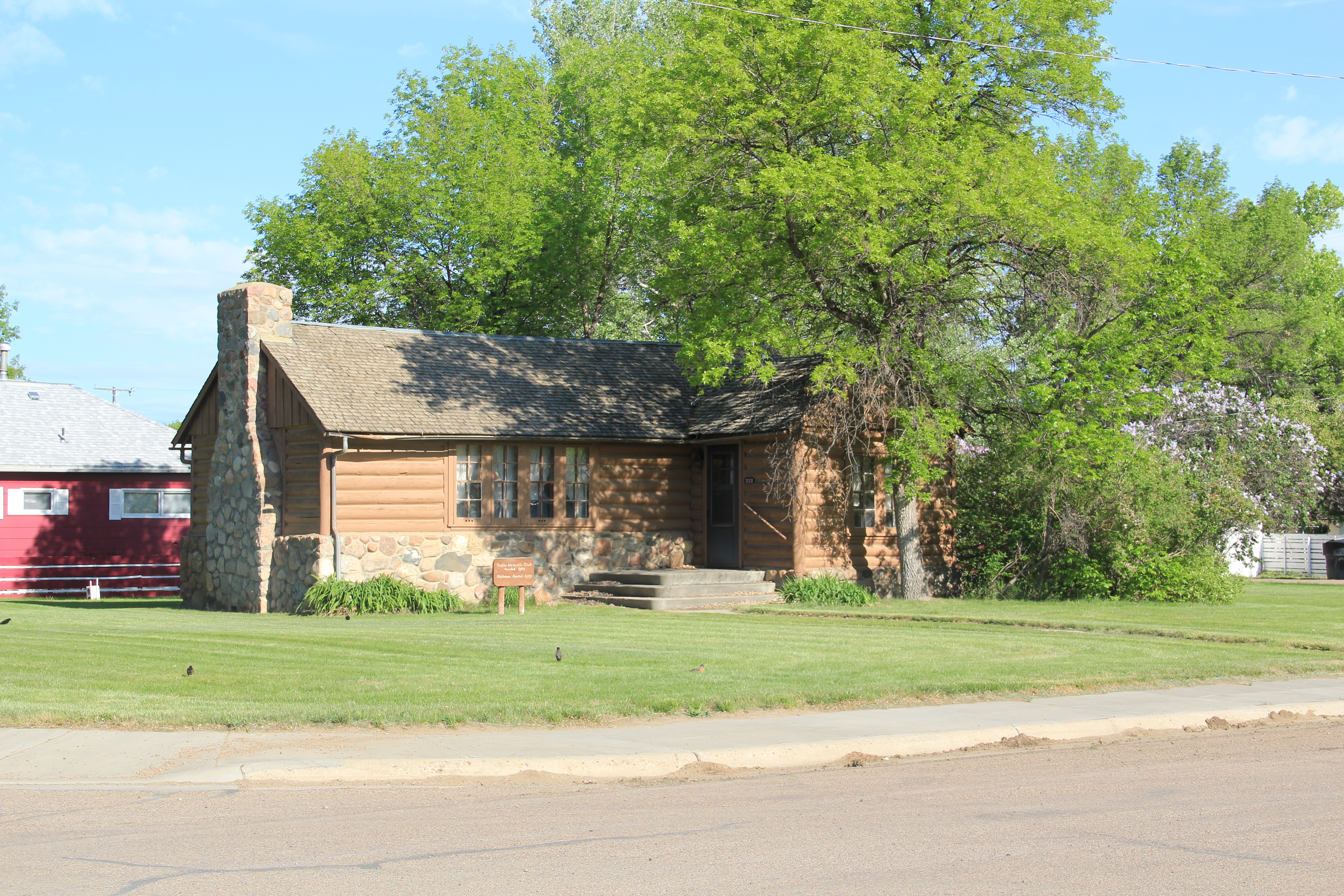
One key institution from the homesteading era still shapes community life: the Joplin Community Hall, where everything takes place: voting, reunions, funerals, parties, concerts, celebrations, especially in mid-June when the town still hosts an antique car show at the town park. Both the hall and town park were developed by Joolin’s Commercial Club–a forerunner to a Chamber of Commerce–in the first decade of settlement.
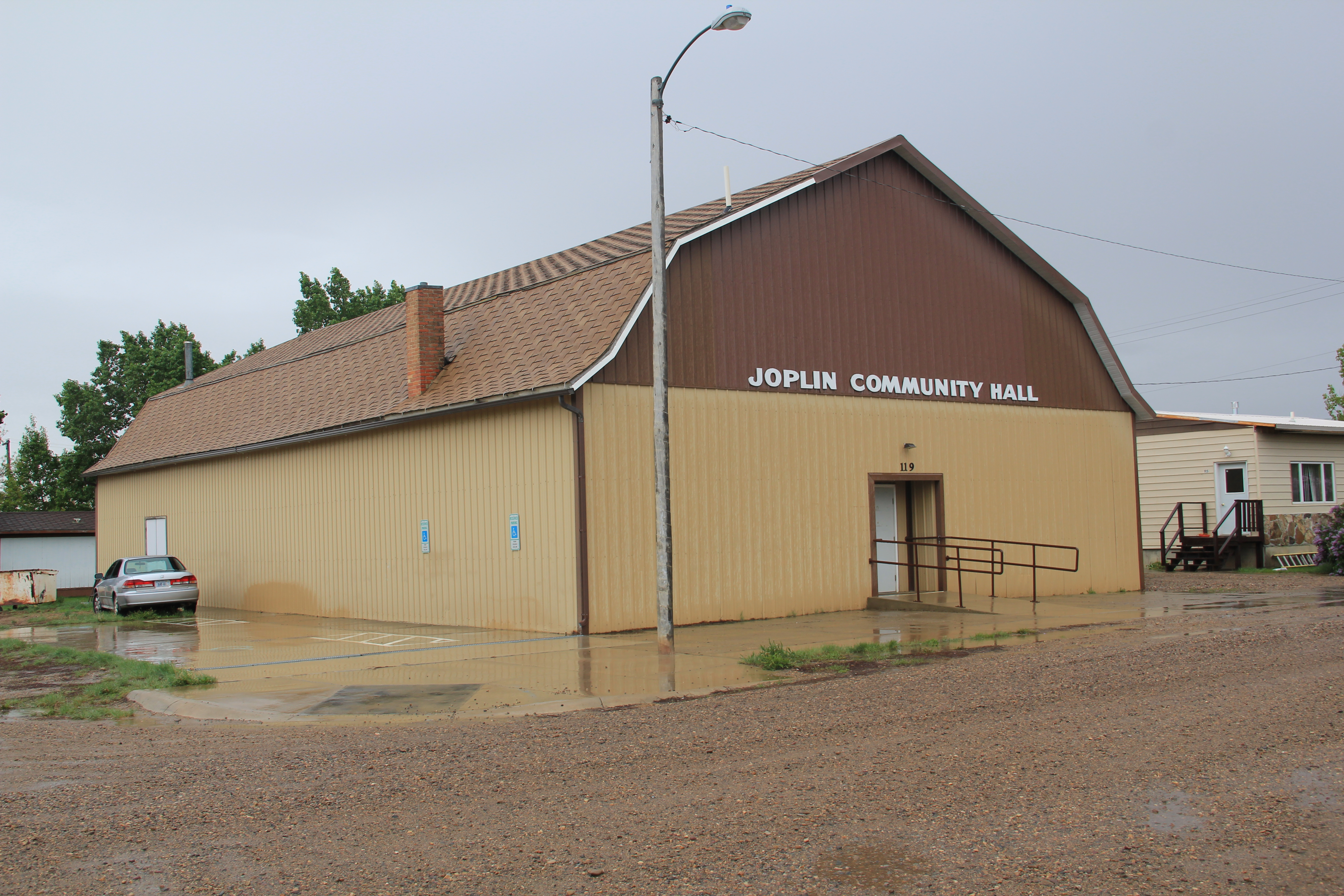
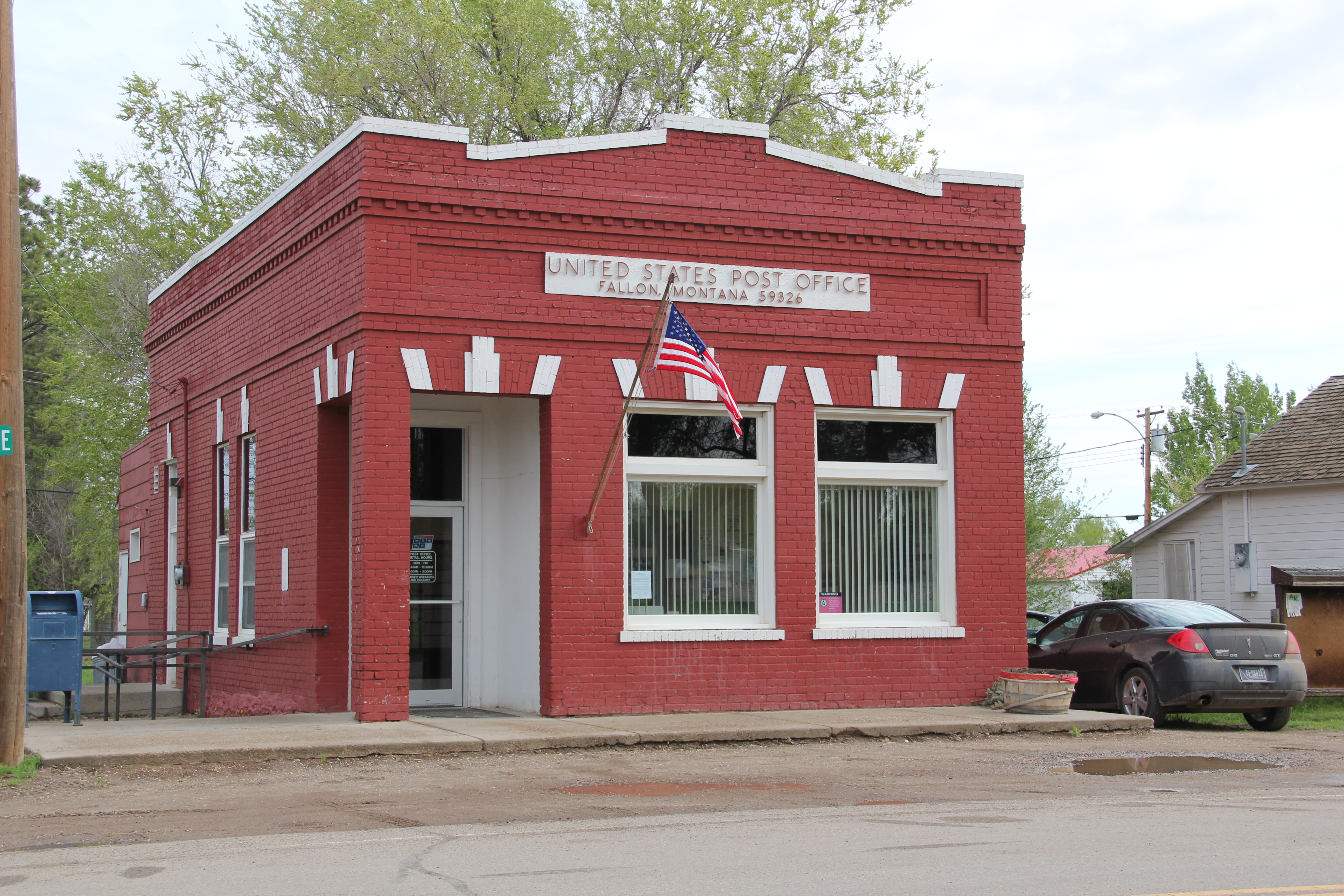
It was at the community hall in 2011, that a large crowd gathered to convince federal officials to let them keep another community institutions: the Joplin post office.

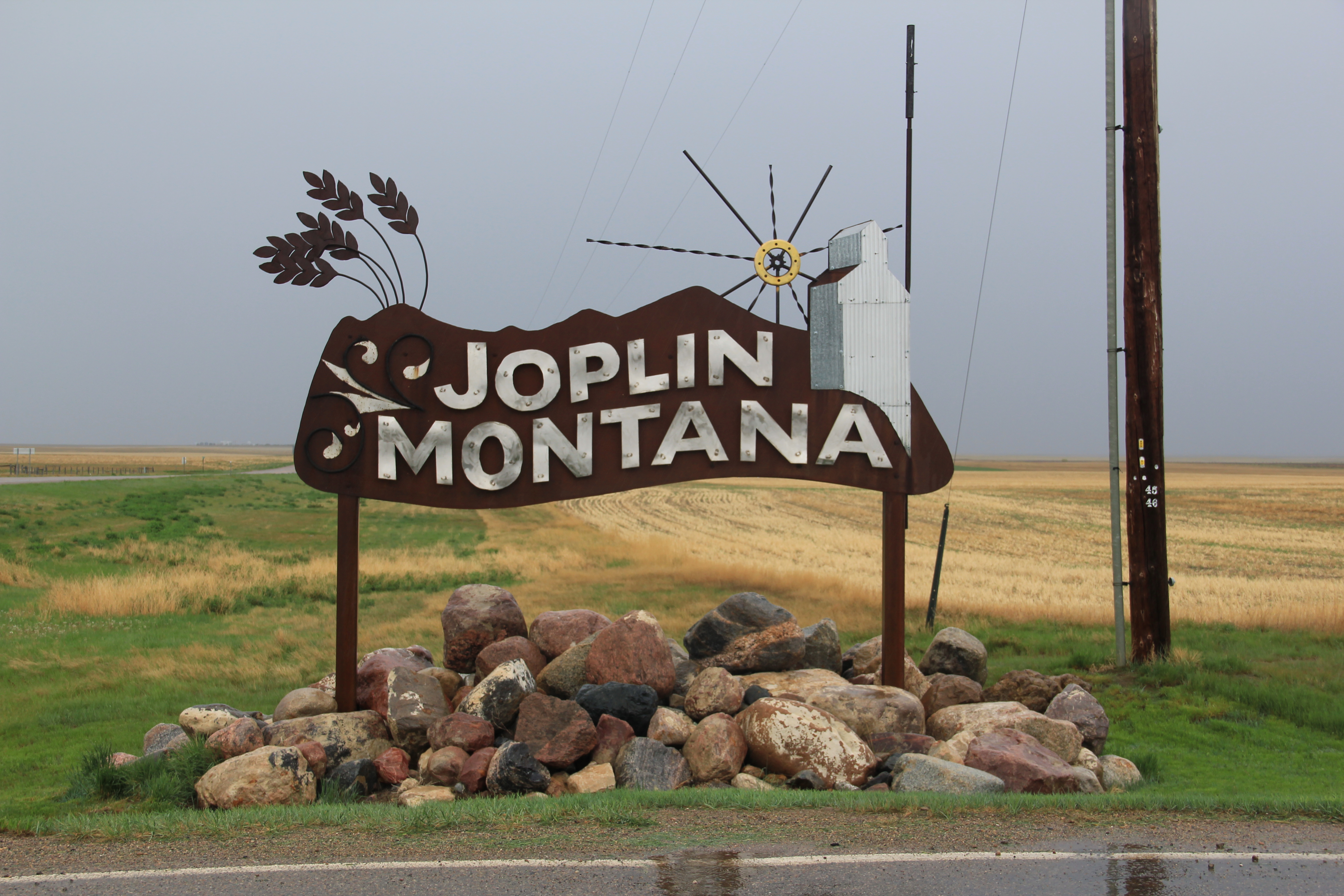
Today along U.S. Highway 2, a bright, shining streamlined moderne town sign has replaced the earlier littlest big town in the world–which remains in the town center, away from the highway as if residents keep the motto to heart but no longer share it with every traveler on the road.

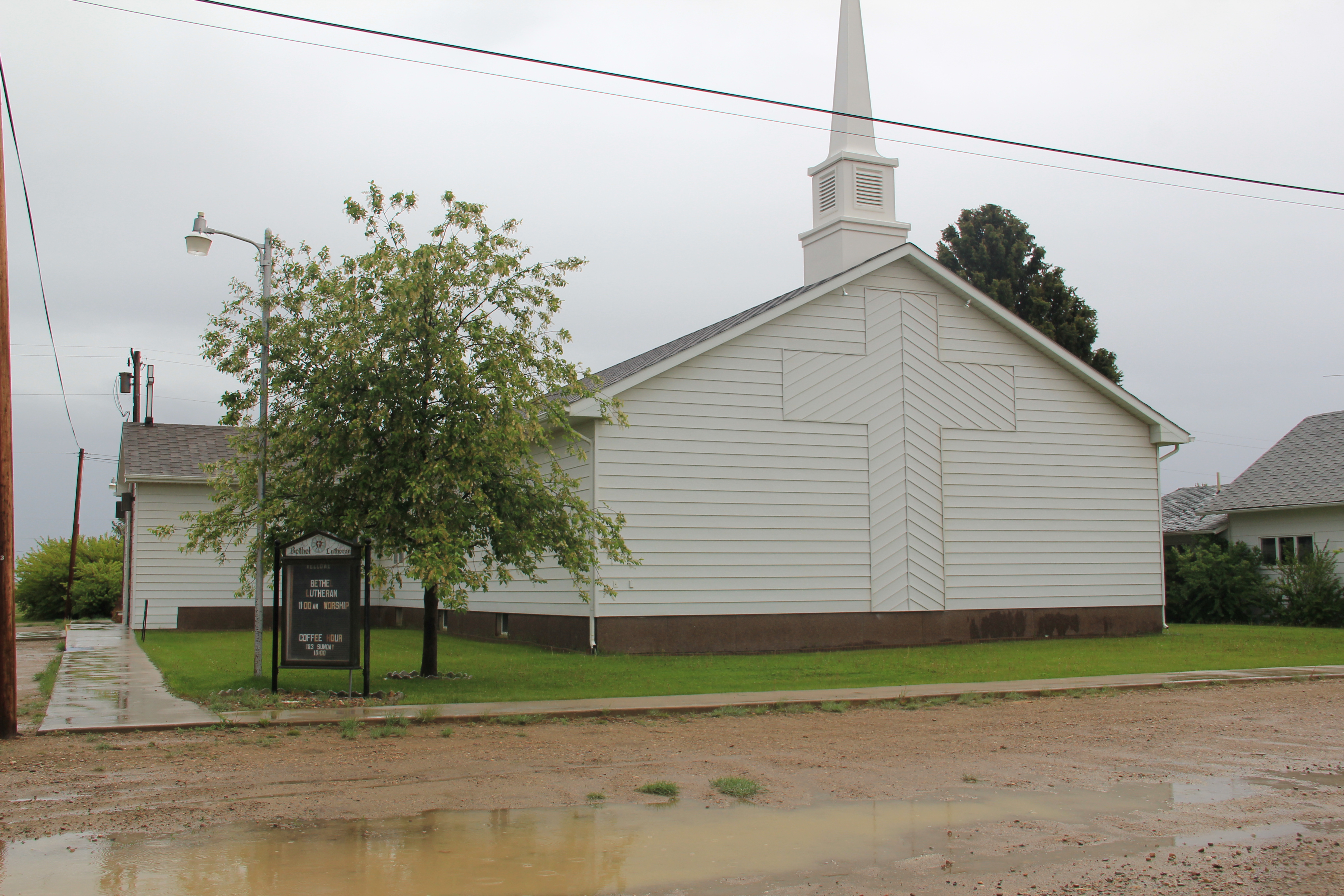
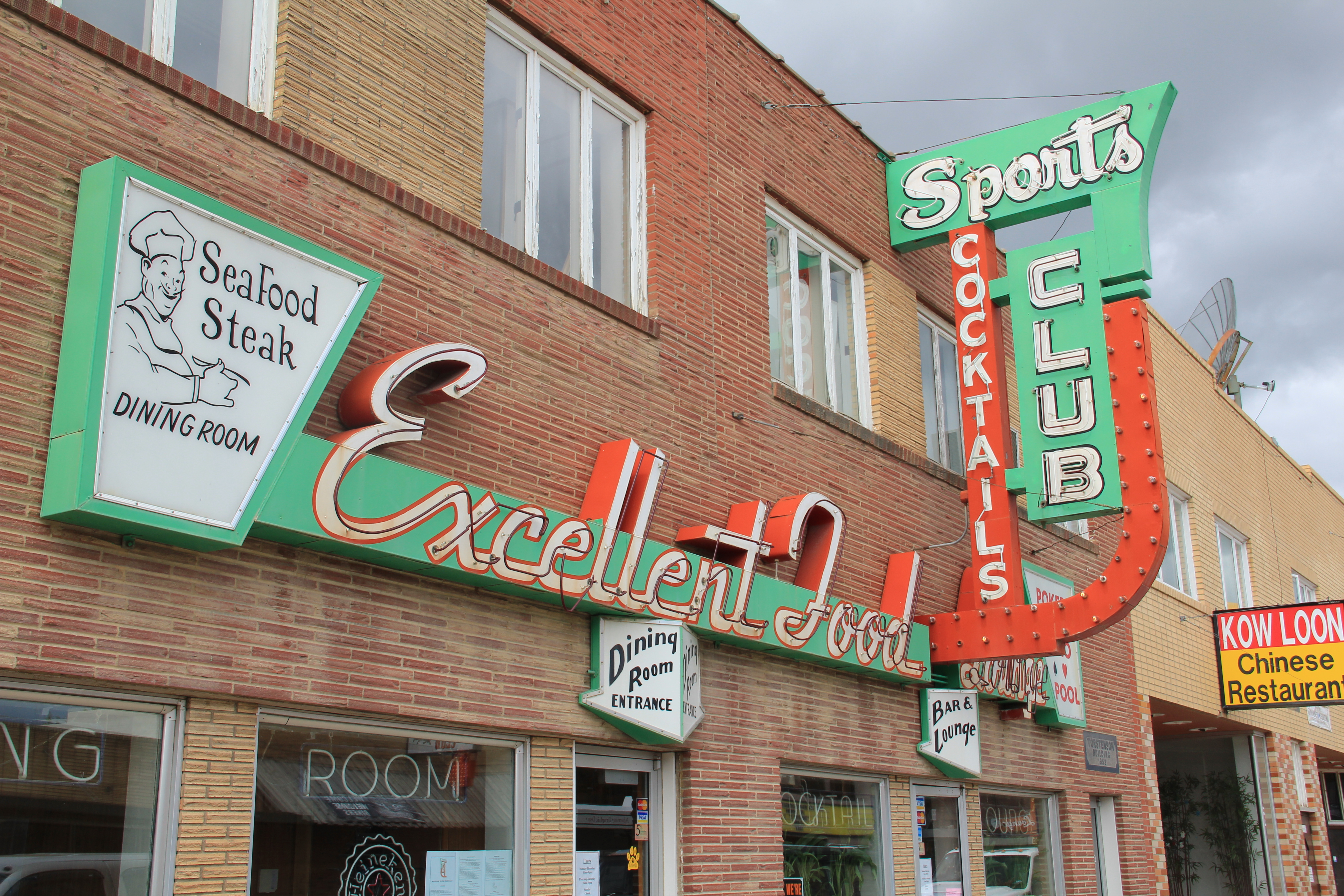
In 2010 Larry Olson told the Great Falls Tribune that he had “seen a lot of changes in his 72 years living in Joplin. ‘When I was growing up, it was so different,” he said. “Nowadays, everything is closed up. You’ve got a [Lutheran] church and a bar — that’s it.’”